







Run 6: Predazzo - Sottosassa

Poziom trudności: 3


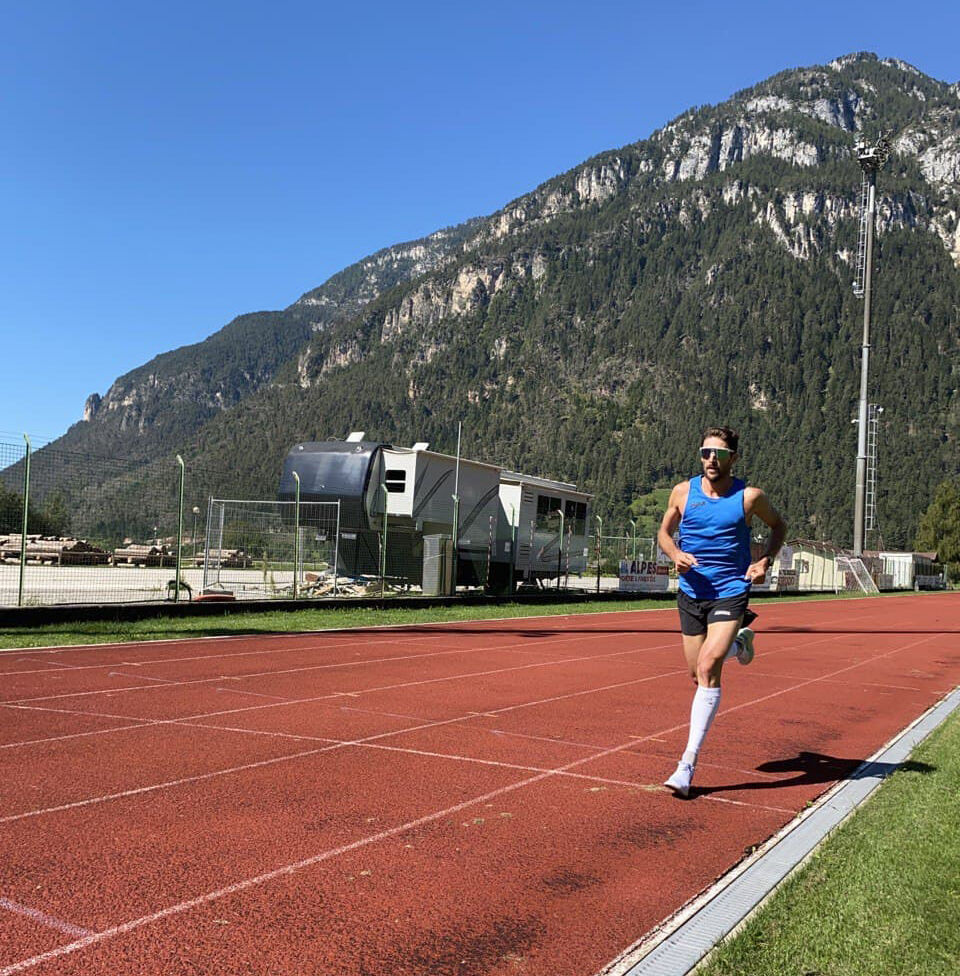
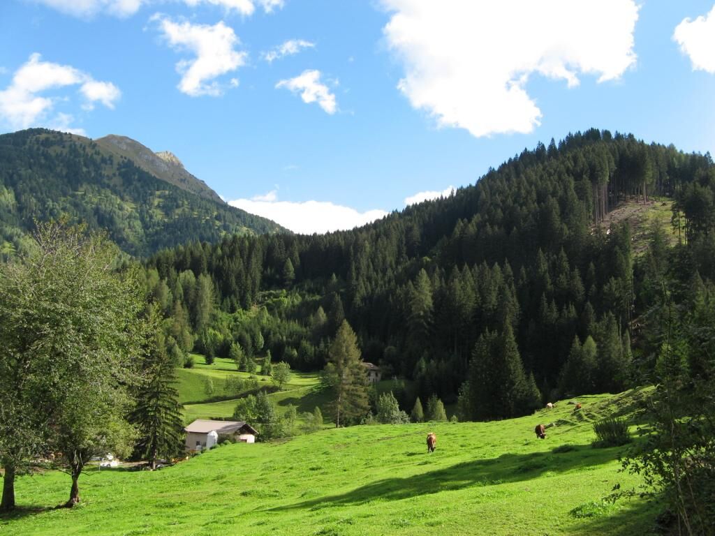
The trail is almost all on dirt terrain. Altimetrically it is a bit more challenging with the uphill part already at the beginning. It runs along the Travignolo Creek passing by the swimming pool and camping...
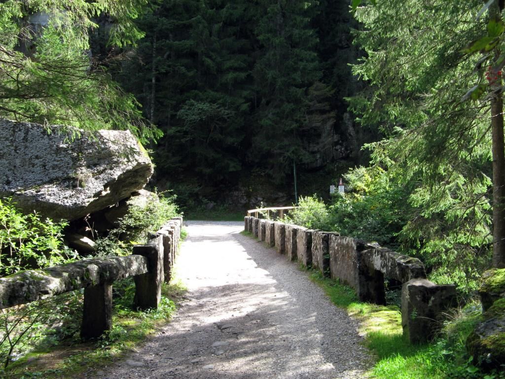
The trail is almost all on dirt terrain. Altimetrically it is a bit more challenging with the uphill part already at the beginning. It runs along the Travignolo Creek passing by the swimming pool and camping site and then enters the woods and climbs for about 1 km more firmly. After the old stone bridge you continue more gently until the turnaround.


Tak
3
Popularne wycieczki w okolicy
-
4,8
Torre di Pisa mountain hut
średniWędrówka 9,09 km -
4,8
Passo Costalunga - Sella del Ciampaz
średniWędrówka 8,35 km -
4,6
Kölner Hütte - Hirzelsteig - Rotwandhütte - Baita Tre - Karerpass
średniWędrówka 9,56 km -
4,5
Cavallazza Peak
średniWędrówka 7,82 km -
5,0
Latemar Umrundung - die Kurze und Bequeme
średniWędrówka 12,1 km -
5,0
Giro del catinaccio a nova levante
Wędrówka 11,7 km -
4,9
Rifugio Paolina - Laurin's Lounge - Kölner Hütte - Rifugio Fronza alle Coronelle - Paolina
średniWędrówka 8,19 km -
4,9
Latemar.Panorama
światłoTrasa tematyczna 7,83 km -
4,8
Tour of Monte Cornon
średniWędrówka 7,65 km -
4,9
Cima d’Asta (vetta via normale)
średniWędrówka 17,5 km
Wędrówki i tropienie


Nie przegap ofert i inspiracji na następne wakacje
Twój adres e-mail została dodana do listy mailingowej.





