


Winter hiking route Hochsöll
Zdjęcia naszych użytkowników
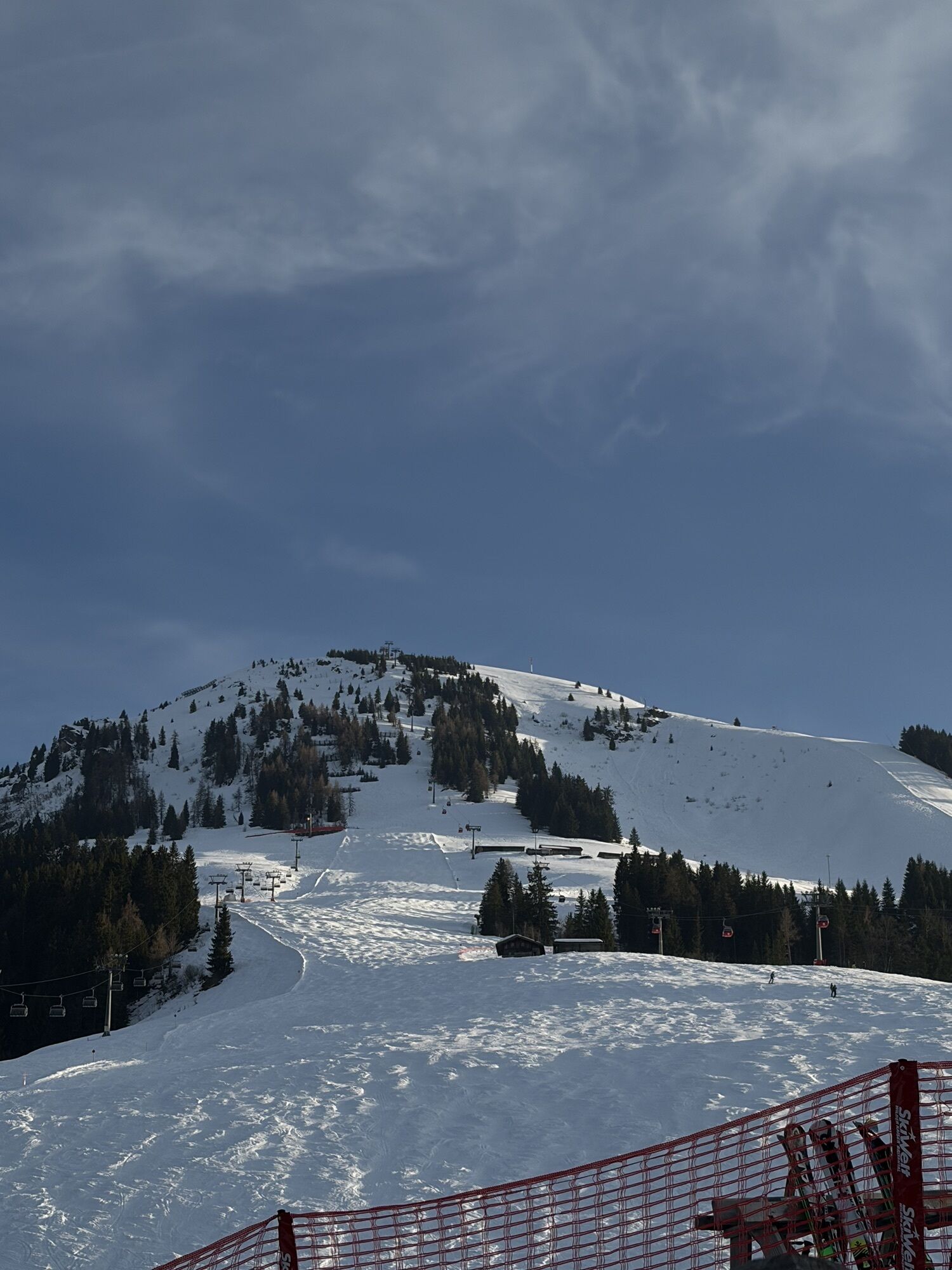
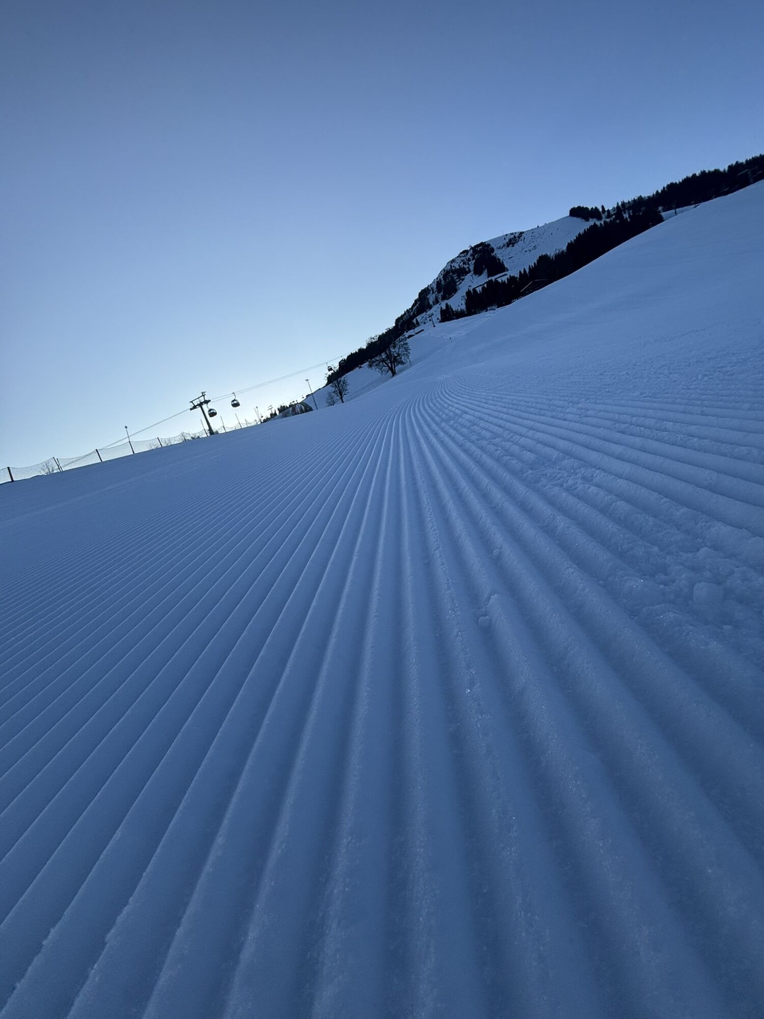
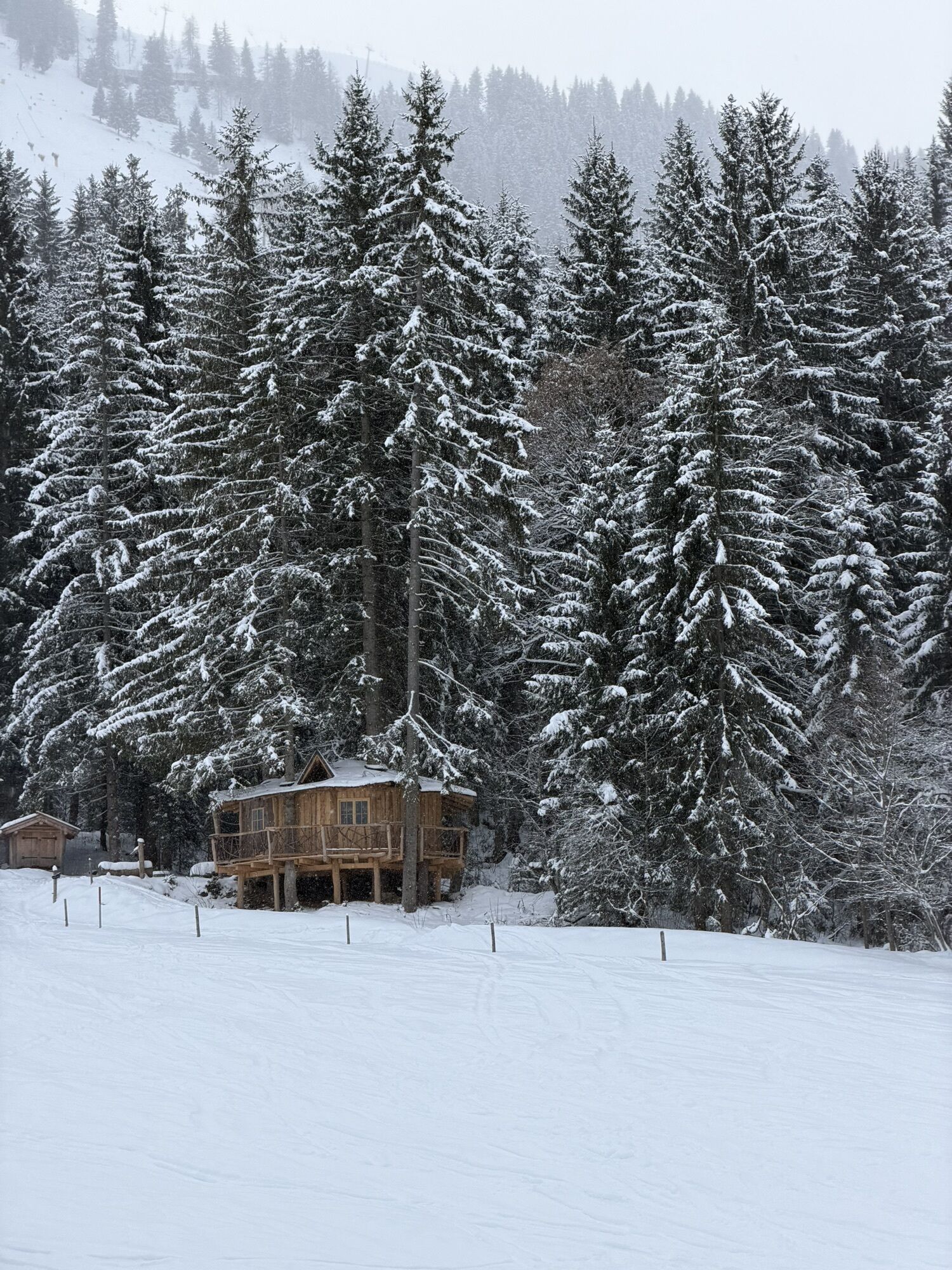
From the mountain station of the gondola Hochsöll you walk westwards towards Stöcklalm. On the way you will come directly to the "Blue Wonder", which is definitely worth a visit. Then you hike in two hairpin...
From the mountain station of the gondola Hochsöll you walk westwards towards Stöcklalm. On the way you will come directly to the "Blue Wonder", which is definitely worth a visit. Then you hike in two hairpin bends towards Söll, cross the ski slope for a short time and walk to the right of the ski slope, continuing slightly downhill to the Stöcklalm. From here it goes a short distance on the lunar toboggan run / family downhill and turn right after the stable on the track and walk around the Salvenmooser Kogel until you arrive back in Hochsöll and come back to the mountain station.
Sturdy high mountaineering boots with anti-slip treaded soles (waterproof), weather-appropriate outdoor gear (breathable) incl. a change of clothes, sun protection (sunglasses, sun cream, lip protection, headgear), waterproofs (rain jacket/poncho, pocket umbrella, rucksack protector), cold protection (hat, gloves), sufficient food and hot drinks, hiking poles (height adjustable) if required, first aid kit incl. rescue blanket and bivouac sack, mobile phone with fully charged battery, headlamp, plastic bag for waste, hiking map, route description and information materials (GPX track), ID card, insurance card, cash
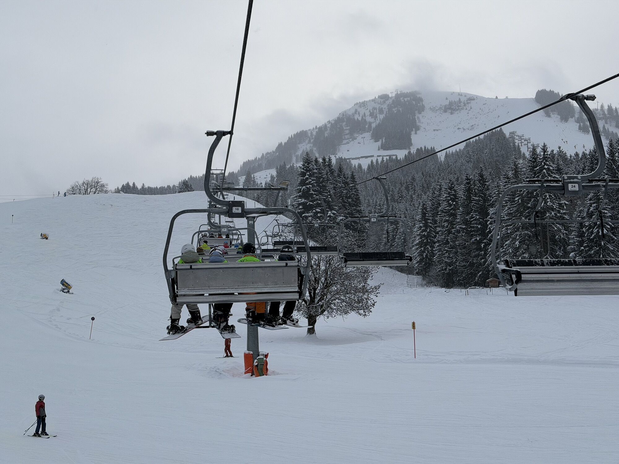
Heading from Wörgl, Kufstein or St. Johann on the B178 road, take the exit to Söll and then take the exit to Hexenwasser theme park (SkiWelt cable car valley station) at the roundabout. Before reaching the cable car valley station, turn left and drive across the bridge. You will then come to the hiking starting point and the cable car parking facilities. Use the gondola to go to the middle station Hochsöll.
Skibus stop "lift/gondola station" SkiWelt Söll
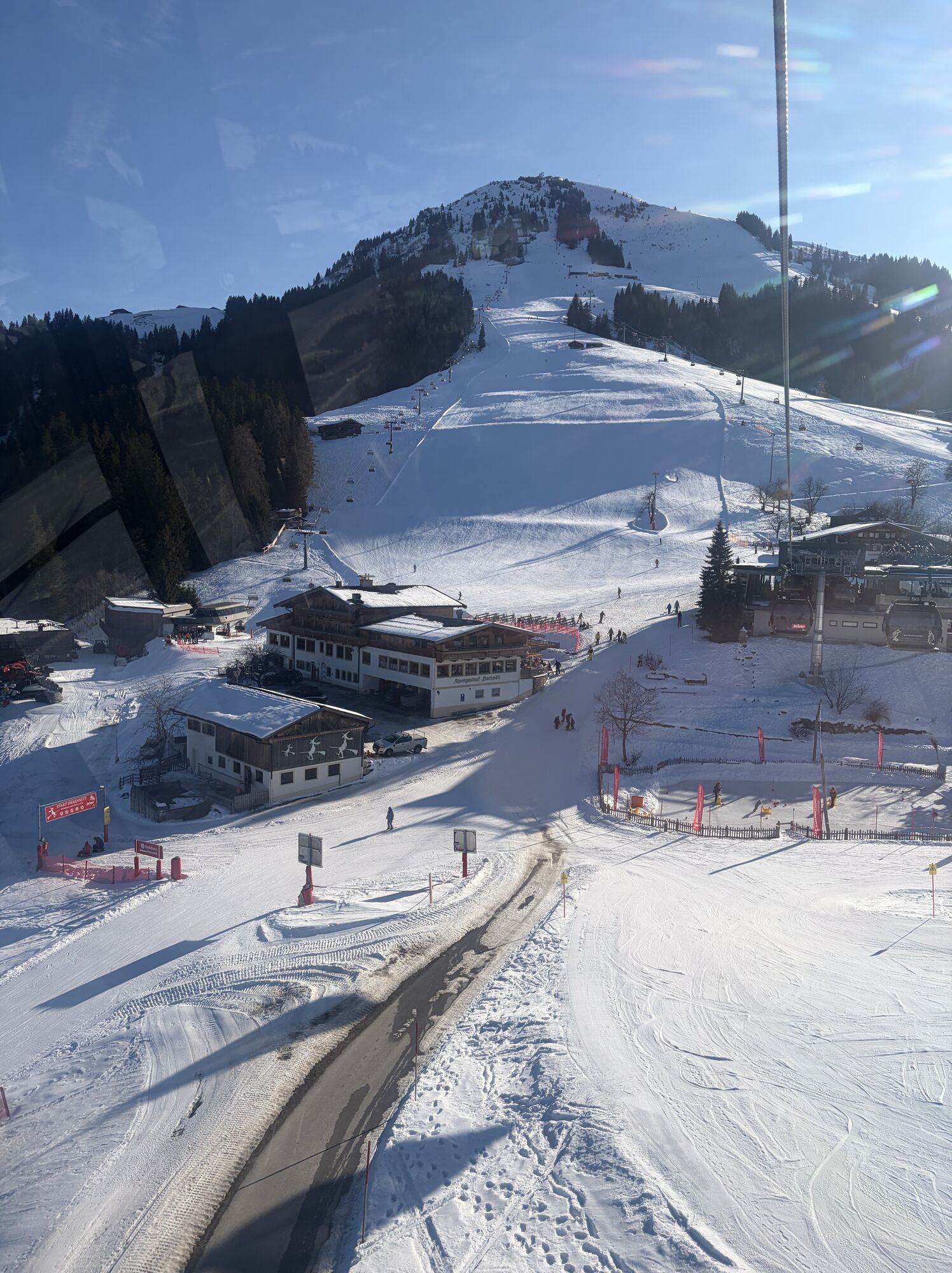
Cable car valley station, Söll (725 m) – free
Kamery internetowe z trasy
Popularne wycieczki w okolicy
- 4,9
Streif Wanderweg
średniWędrówka 5,73 km - 4,5
Über Hintersteinersee und Walleralm aufs Hochegg
światłoWędrówka 12,2 km - 4,5
Wanderung um den Hintersteinersee
światłoWędrówka 5,29 km - 4,5
Route 208: Windautal - Rotwandalm/Filzenscharte
ciężkiMountainbike 22,8 km - 4,7
Hintersteinersee
średniWędrówka 9,87 km - 4,7
Musikantensteig zur Naunspitze
średniWędrówka 8,96 km - 4,2
Bergdoktor Wohnhaus "Gruberhof" (Köpfing Hof) Rundeweg-Söll
światłoWędrówka 8,70 km - 4,9
Route 209: Brechhornhaus-Choralpe
ciężkiMountainbike 24,4 km - 5,0
Kirchdorf: Stripsenjoch Klettersteige
ciężkiVia ferrata 3,76 km - 5,0
Stripsenjoch Klettersteige/ Rundwanderung von Griesener Alm über Stripsenjochhaus und Feldberg
średniVia ferrata 10,2 km

Wędrówki i tropienie


Nie przegap ofert i inspiracji na następne wakacje
Twój adres e-mail została dodana do listy mailingowej.