







Alpine pilgrim trail "Hoch und Heilig" - Stage 2: St. Korbinian - Maria Luggau



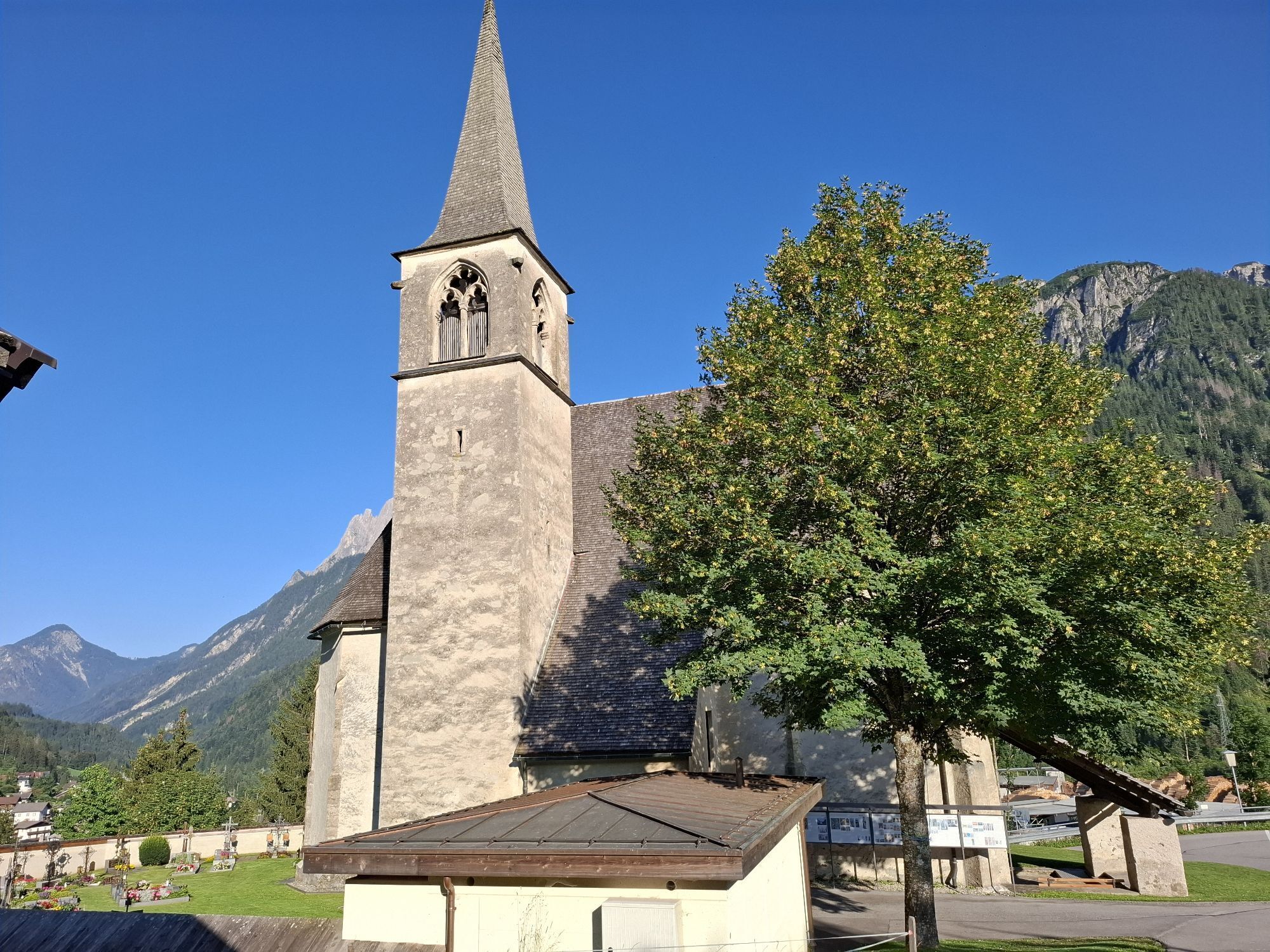
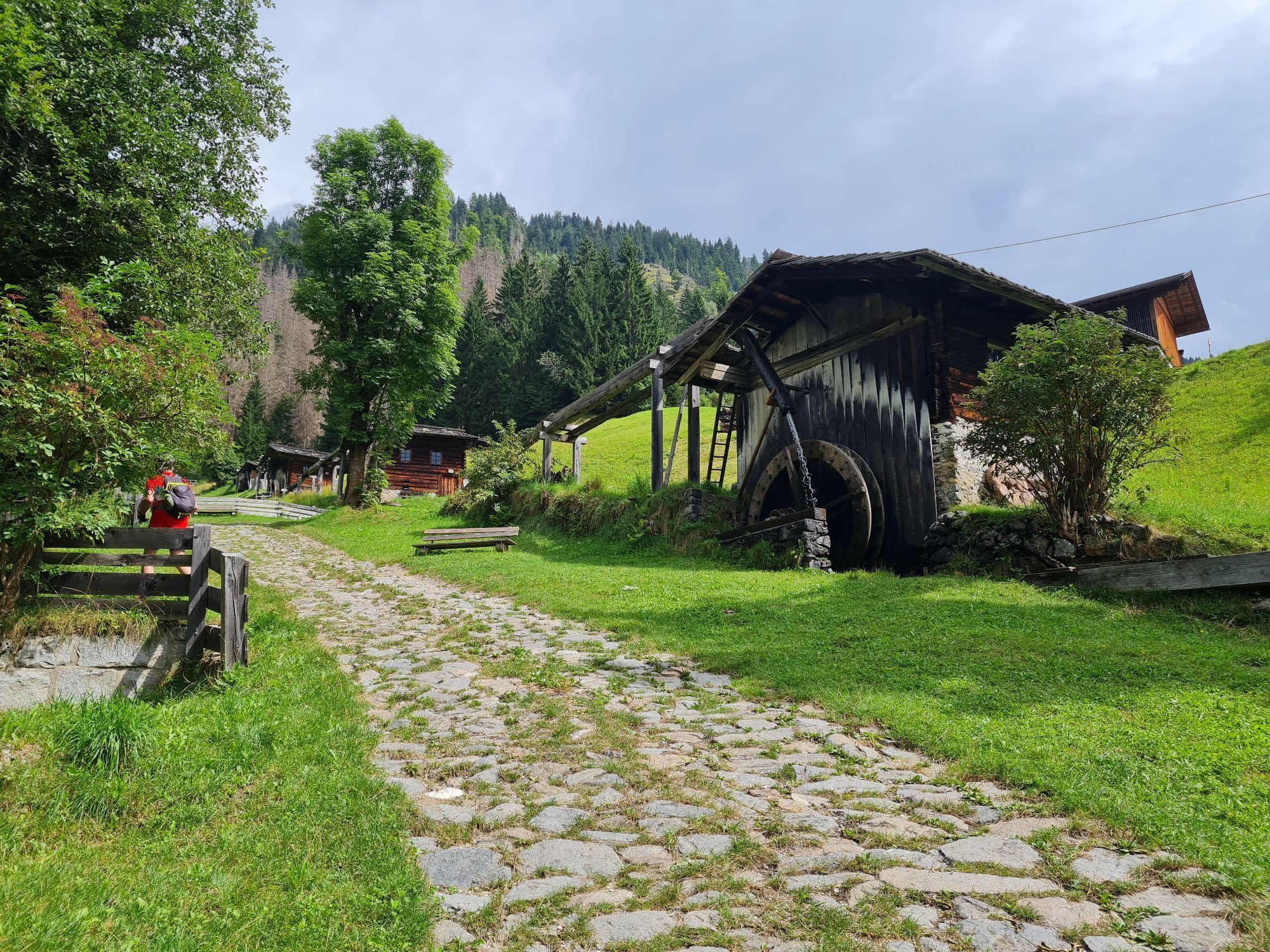
We leave Thal heading south, cross the Drau river at the sawmill and, just past the sawmill, follow a path towards Schwarzboden. Continuing eastwards along a forest track, we soon take the turn-off towards...
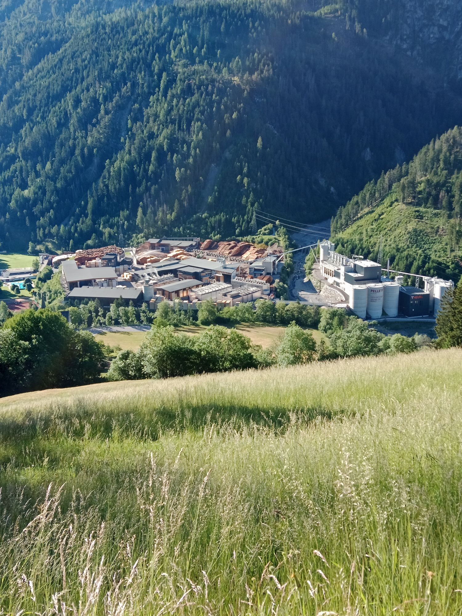
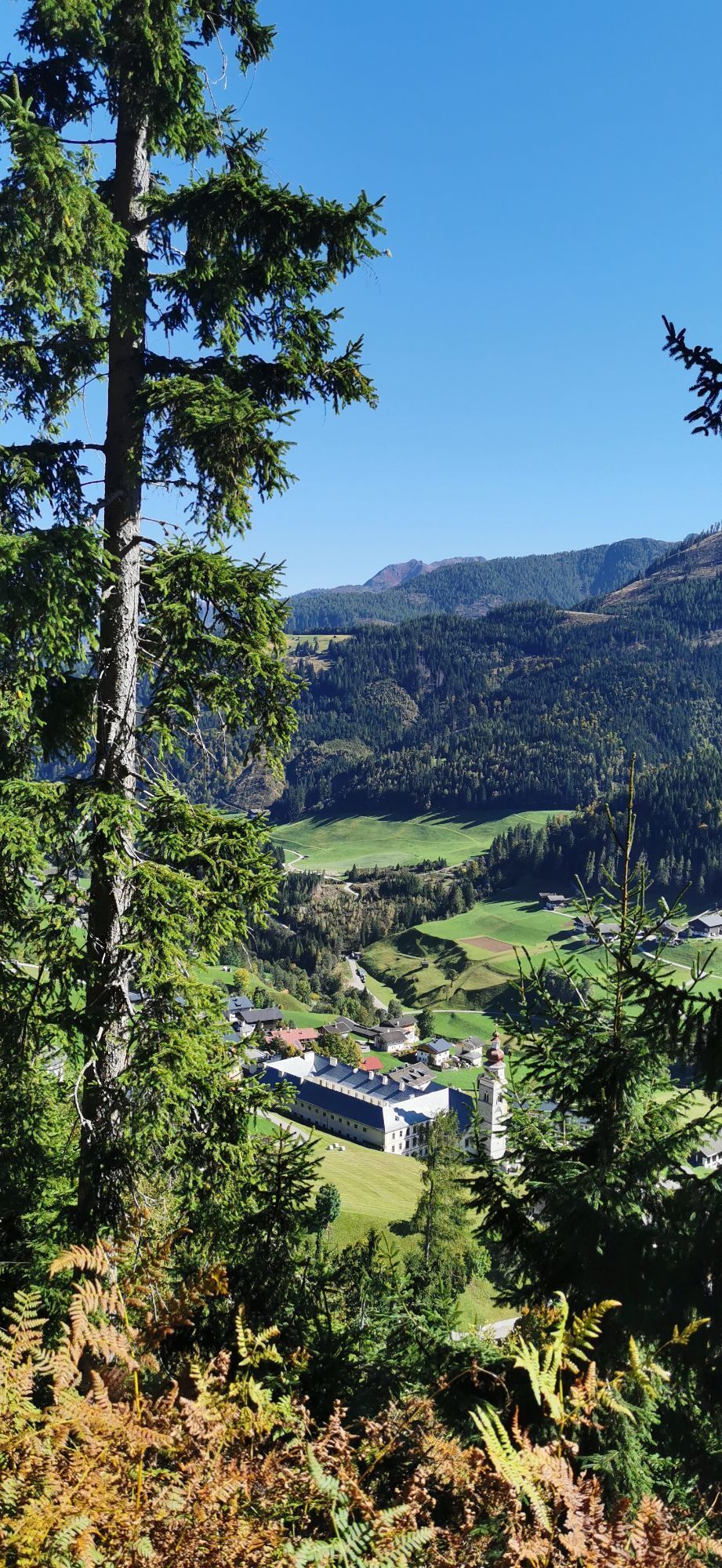
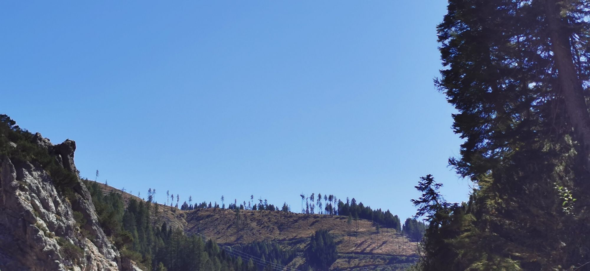
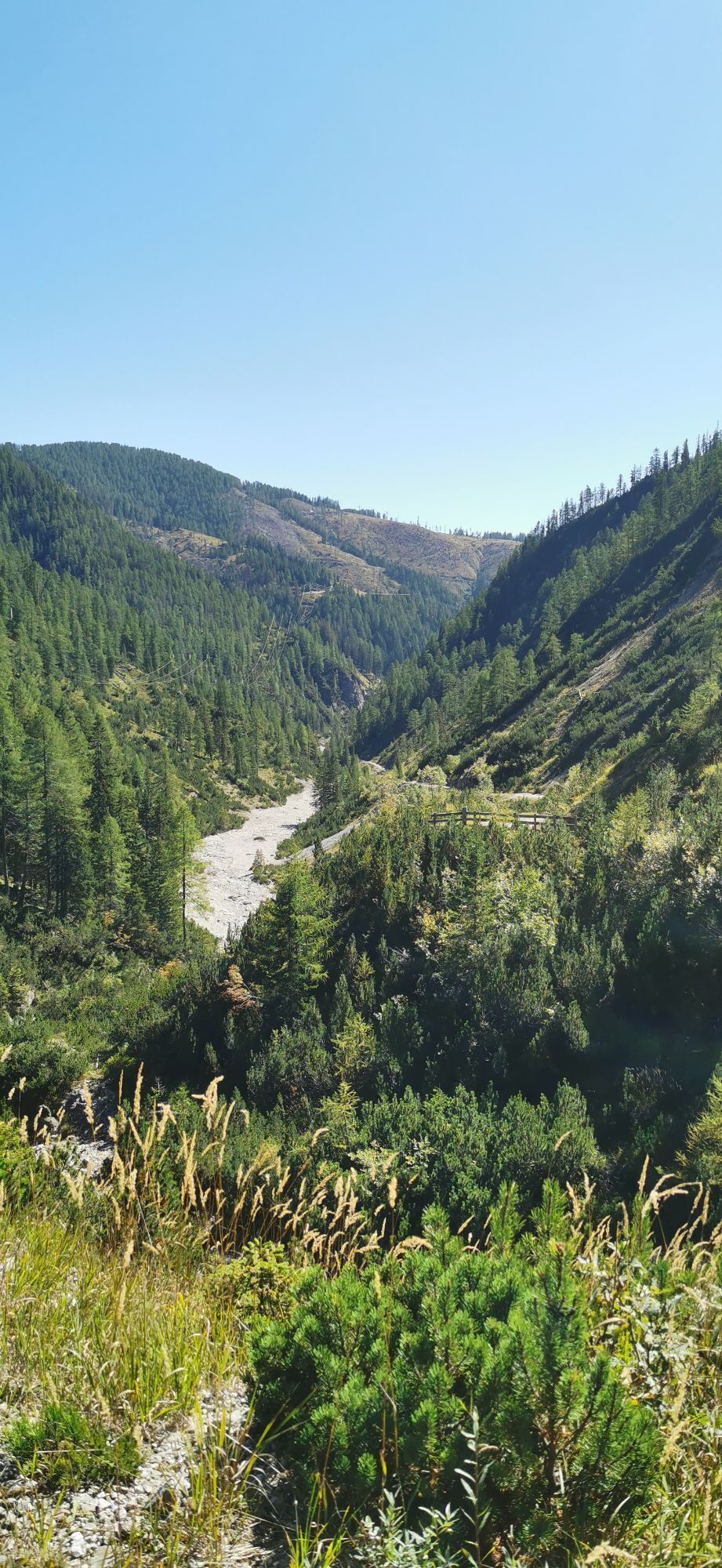
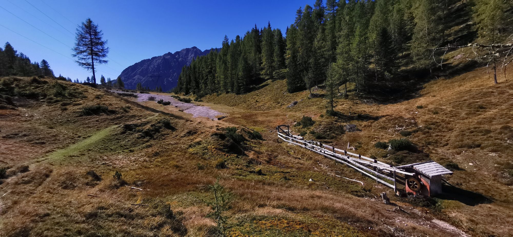
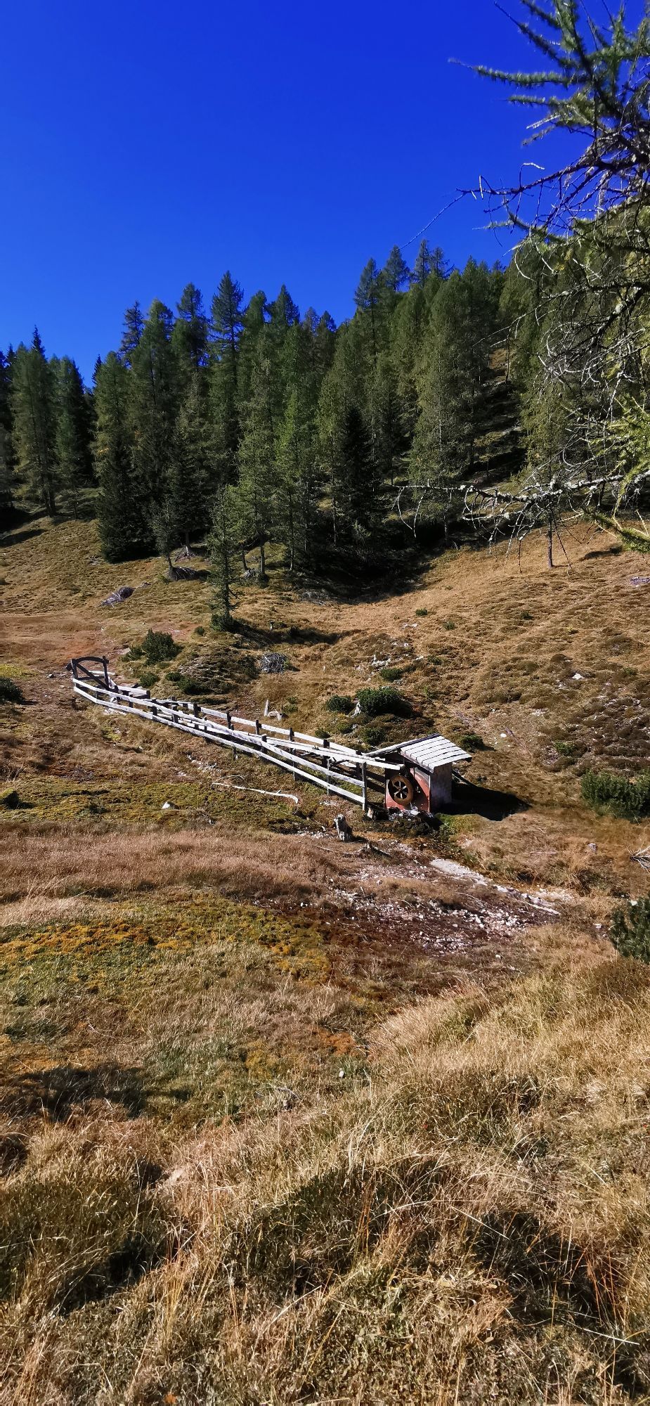
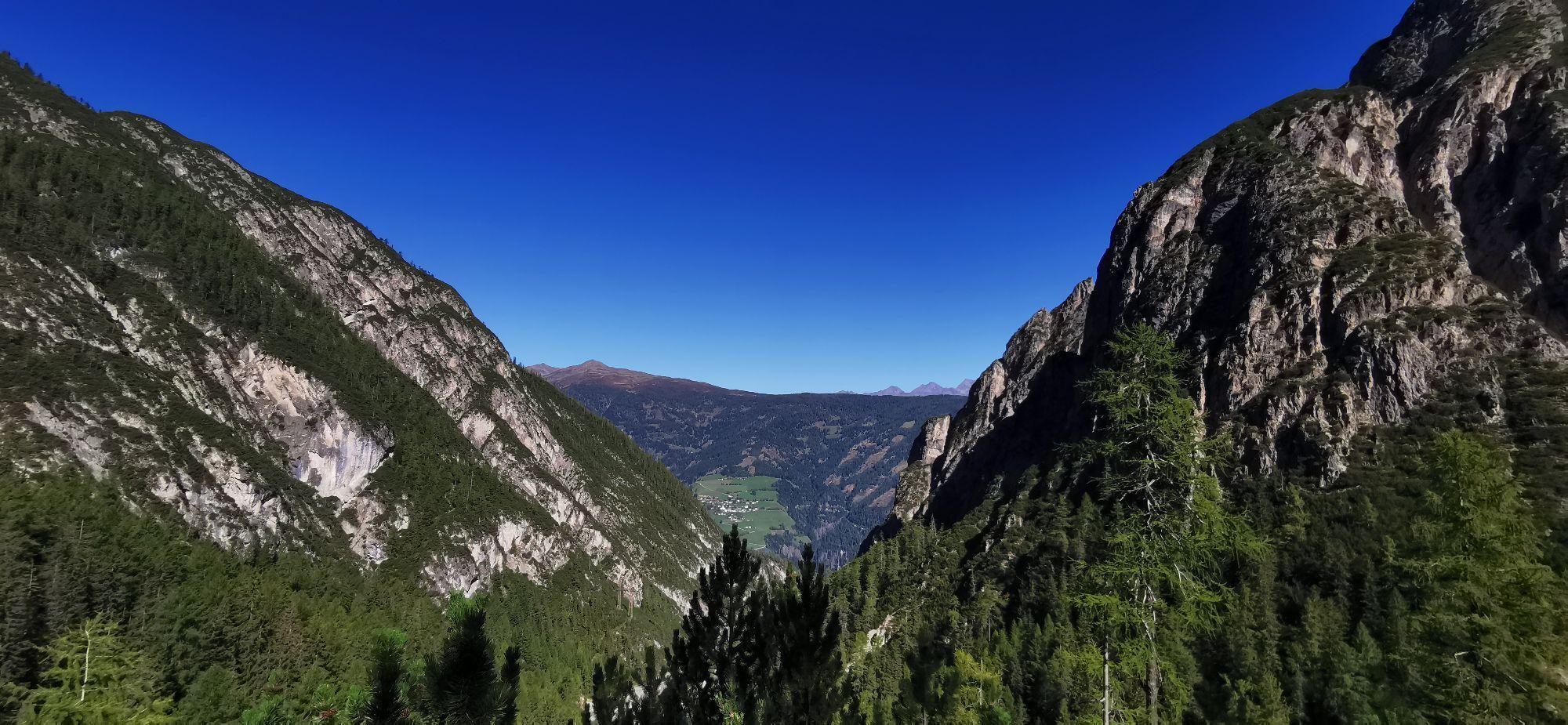
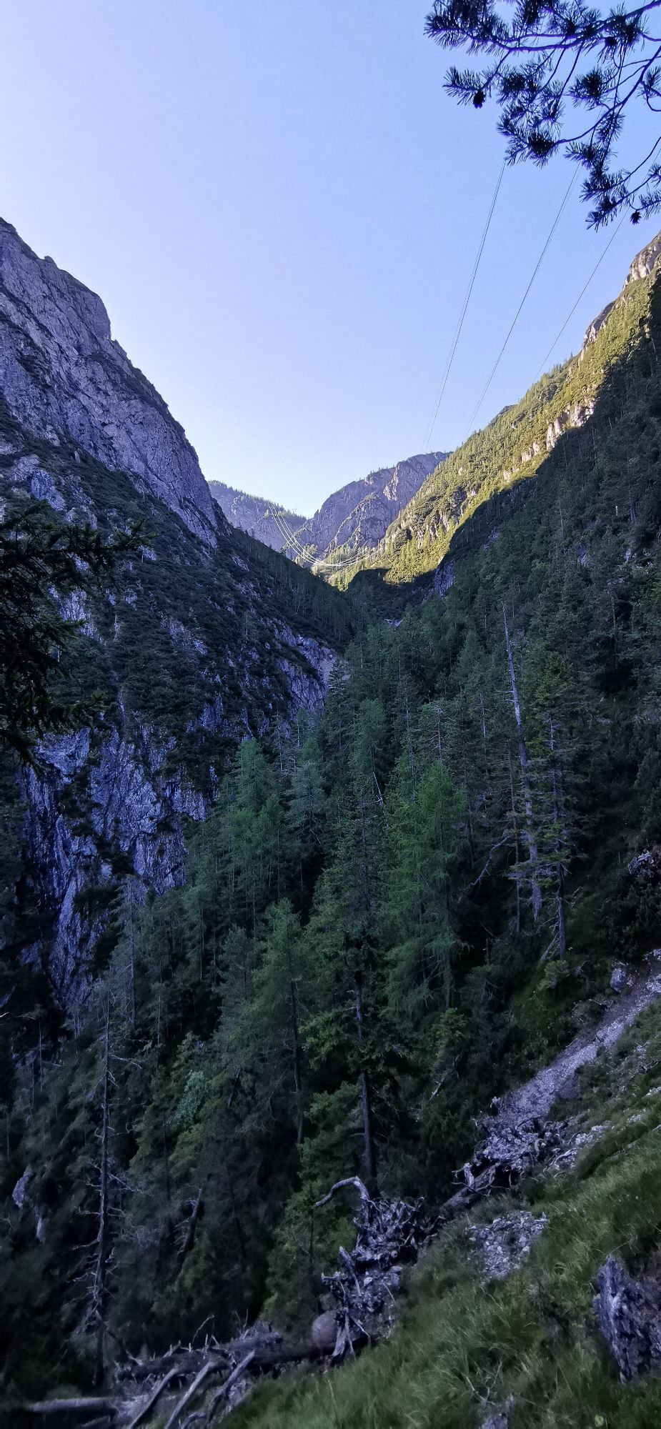
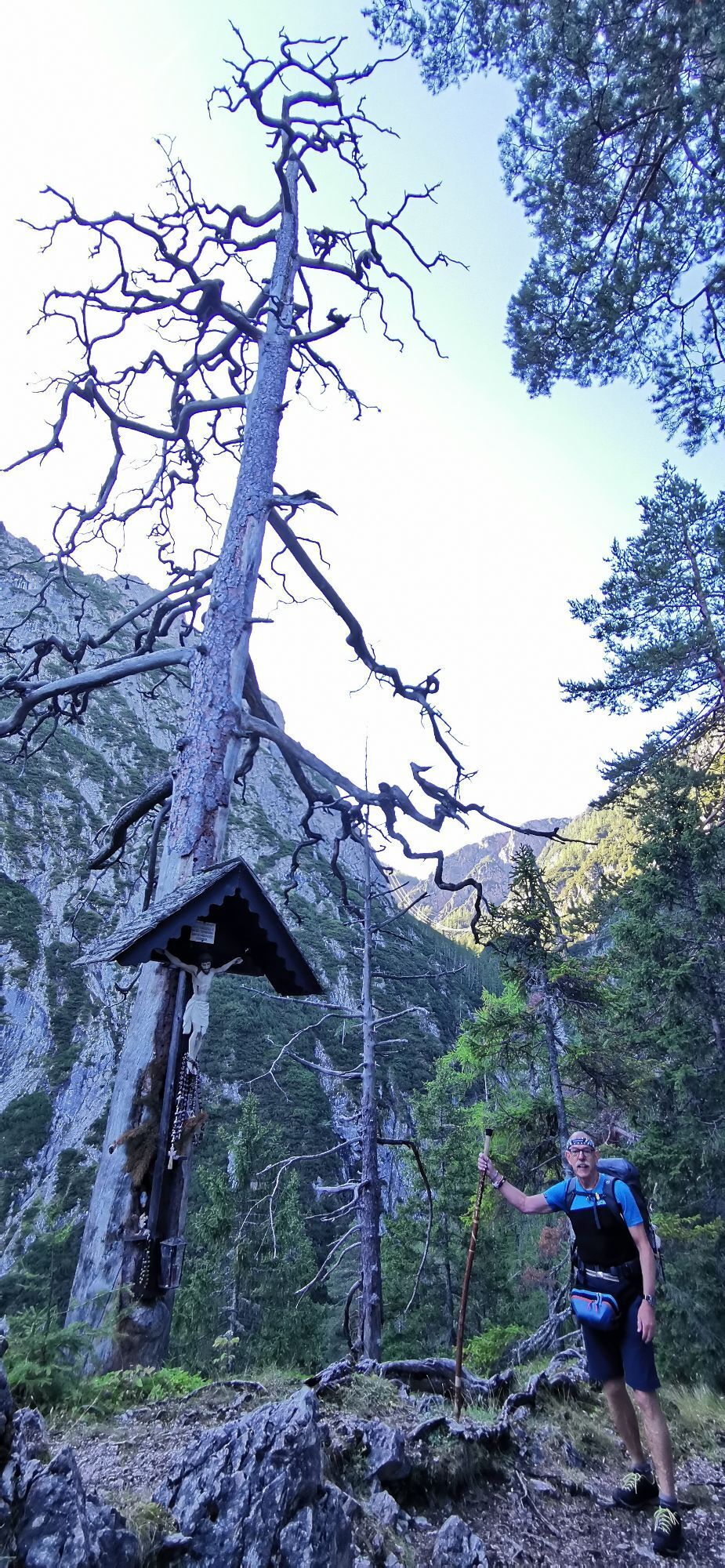
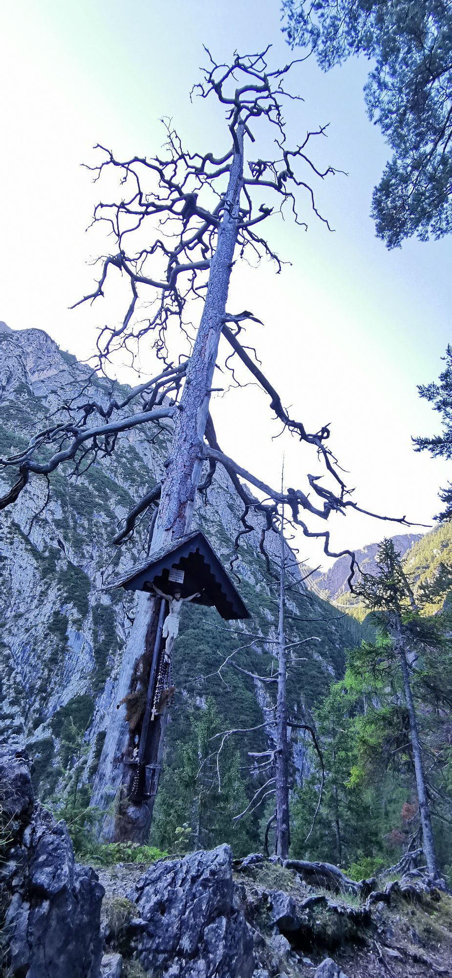
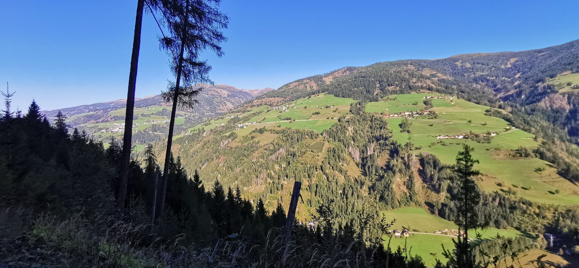
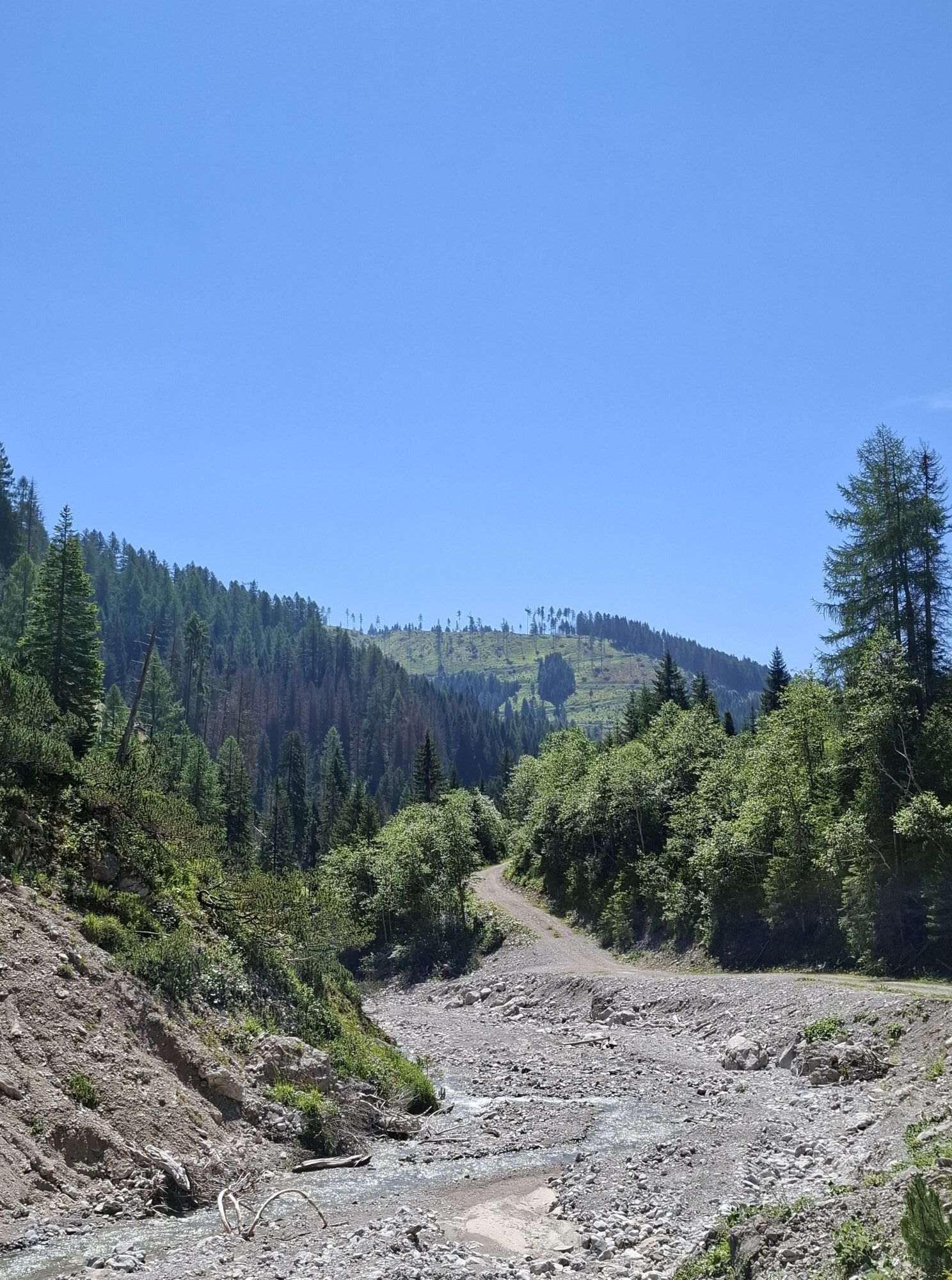
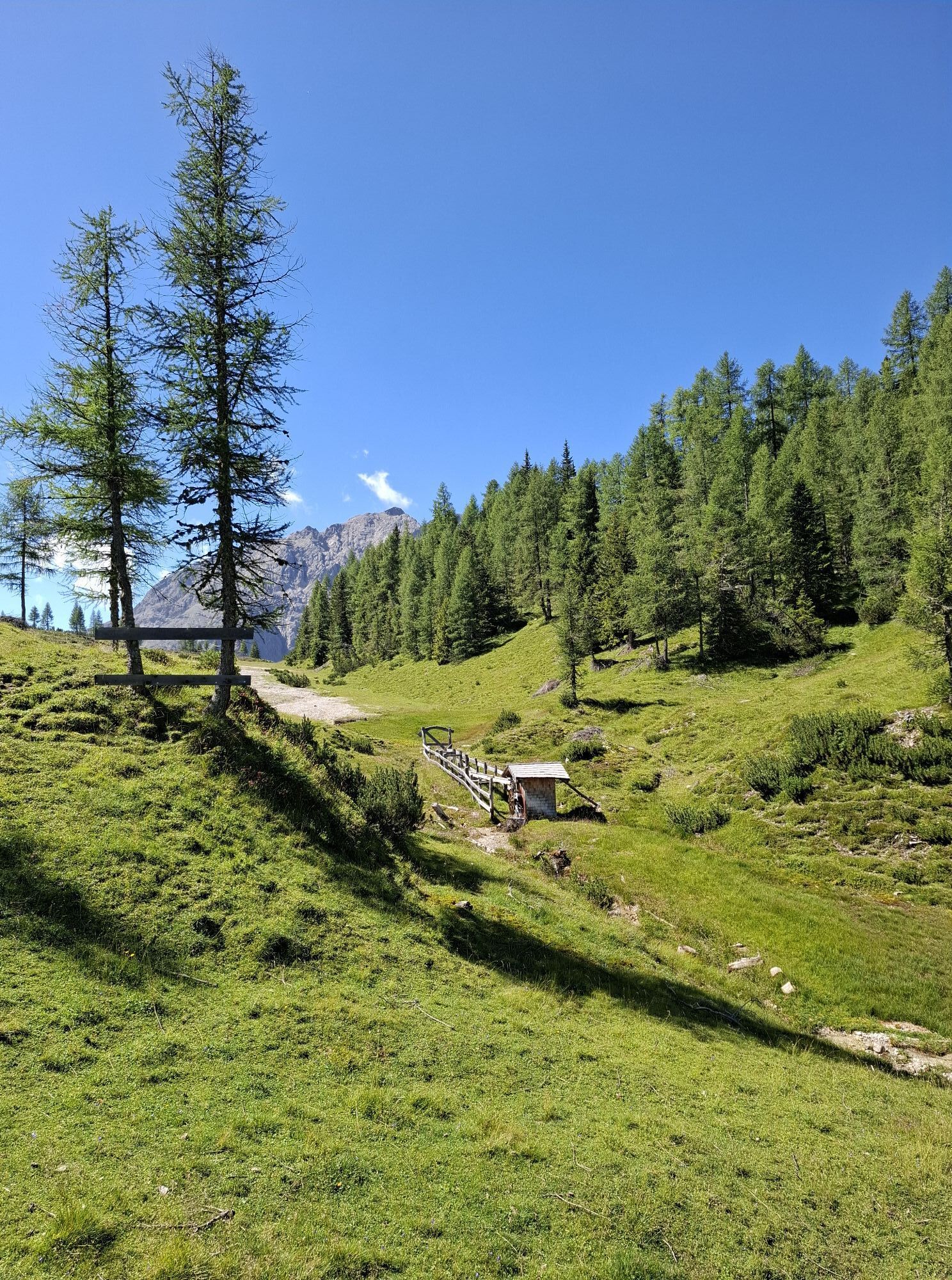
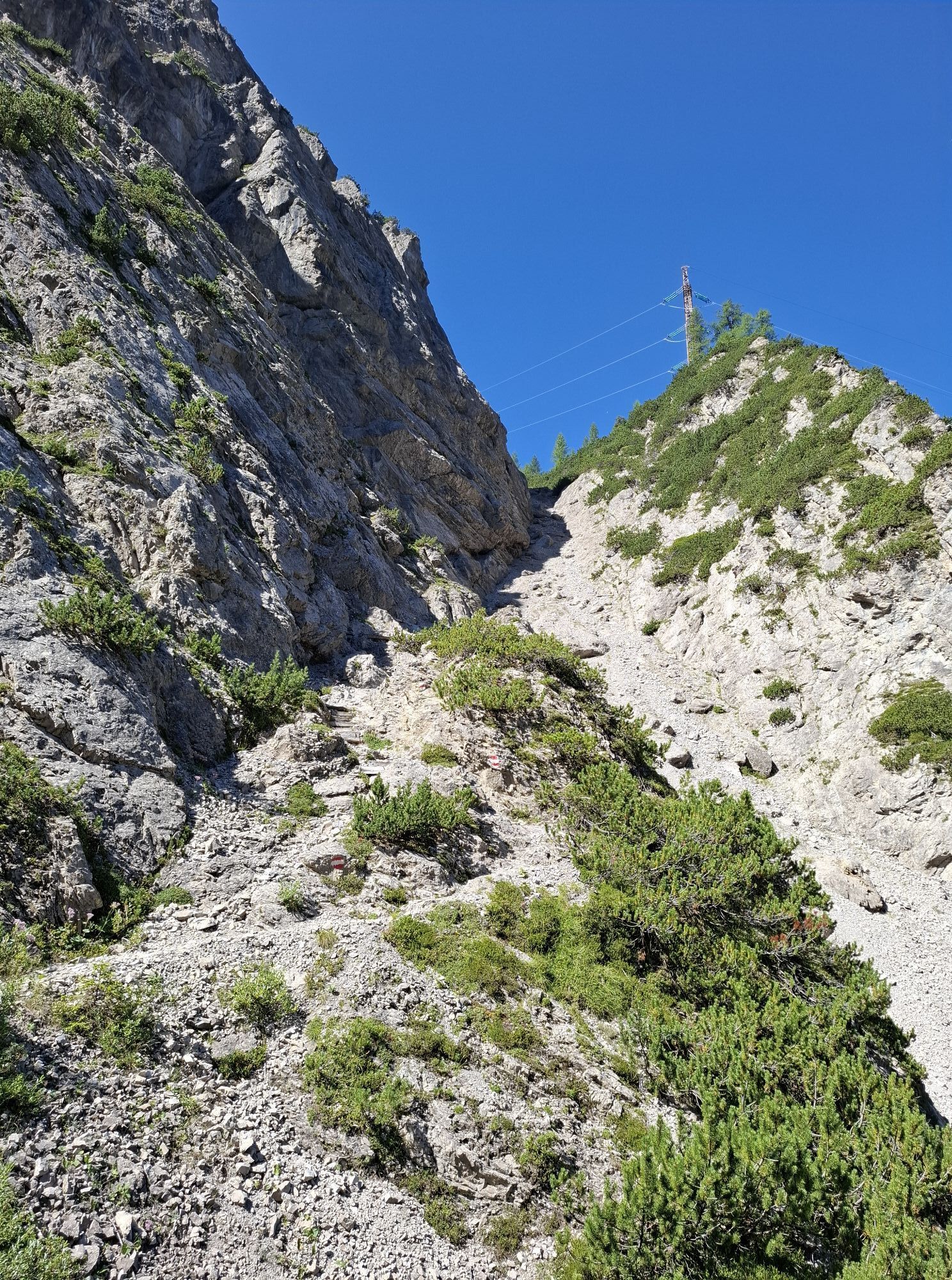
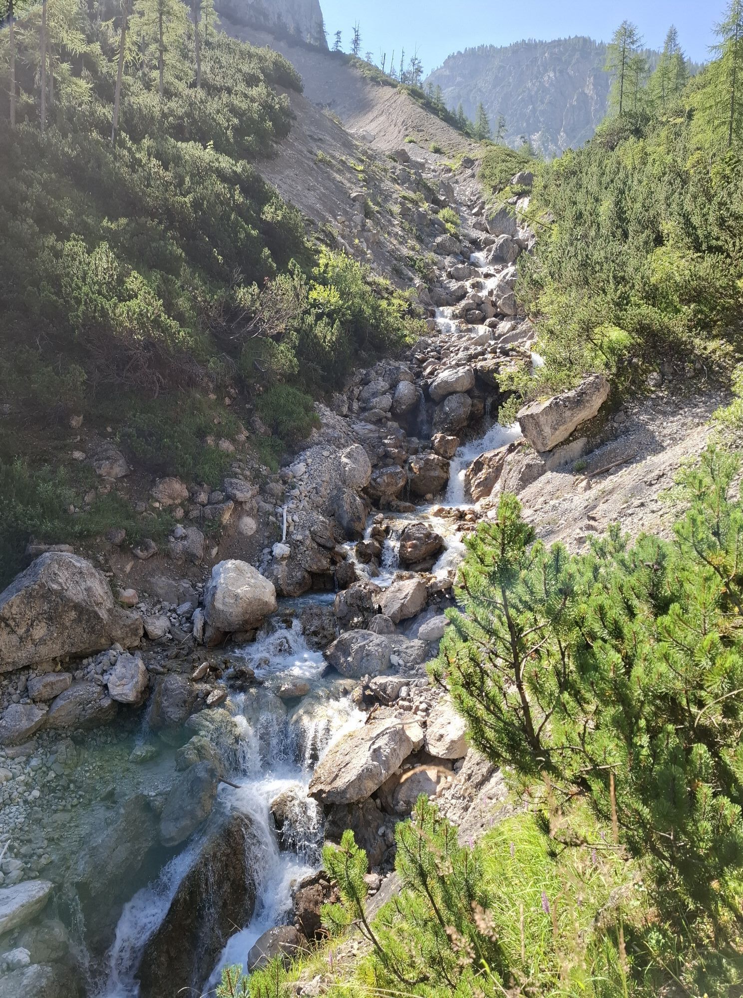
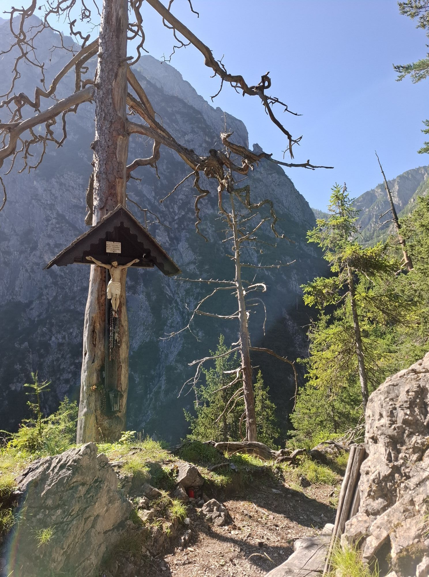
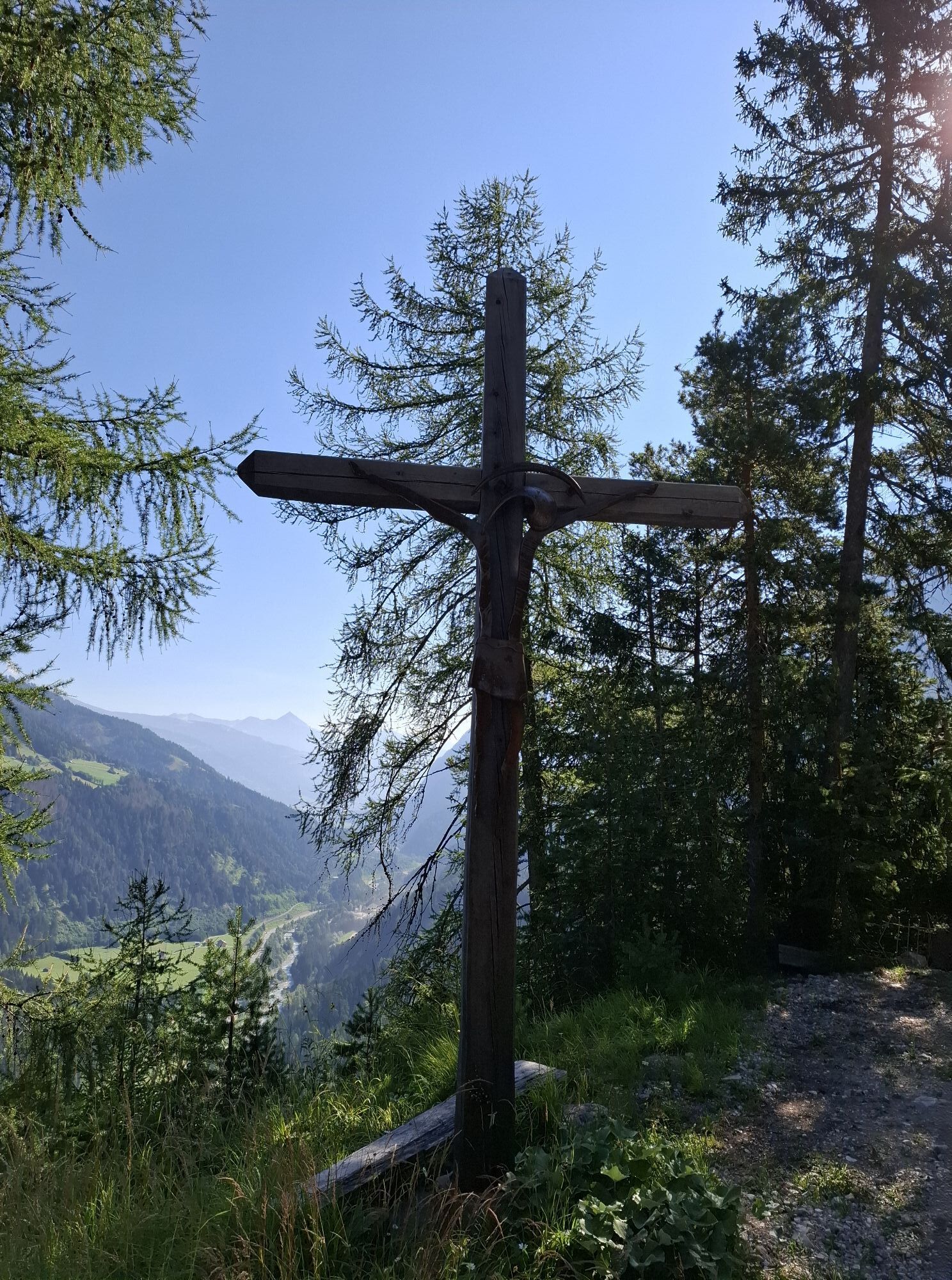
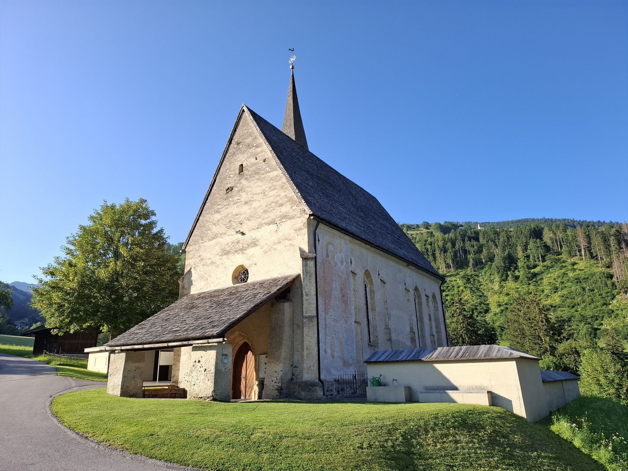
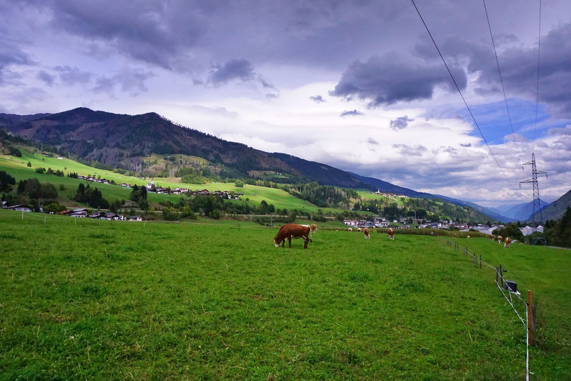
We leave Thal heading south, cross the Drau river at the sawmill and, just past the sawmill, follow a path towards Schwarzboden. Continuing eastwards along a forest track, we soon take the turn-off towards Kofel Pass (nos. 212, 213). After about an hour’s climb through sparse pine forest, we reach our first rest stop at the Dapra Cross. We then head along the gorge of the Leisacher Almbach stream into the valley until we reach the turn-off up to the Kofel Pass. The final stretch of the climb leads over scree and secured paths, after which we reach the scenic plateau of the Leisacher Alm. The highest point, the Kofel Pass at 1,877 metres, offers an ideal vantage point and resting spot before we head downhill along a long, wide forest track towards Lotteralm, cross the Eggenbach and follow path no. 27, 212 towards Guggenberg. Passing through a particularly unspoilt, traditional mountain farming landscape, into which the St Anna Chapel, built a few years ago, blends harmoniously, we reach our destination, the Basilica in Maria Luggau.


Mit dem Bus bis zur Haltestelle "Thal GH Wilfernerhof"
 Uzyskaj wgląd Zawsze na żywo z ponad 9 500 kamer internetowych. bergfex Jako użytkownik Pro, możesz teraz zobaczyć odpowiednie kamery internetowe dla wielu wycieczek w aplikacji wycieczki od. Pozwala to na bezpośredni podgląd aktualnych warunków.


Popularne wycieczki w okolicy
- 4,7
Karlsbader Hütte über Rudl-Eller-Weg
ciężkiWędrówka 5,10 km - 4,8
Lienzer Dolomiten-Lasertörl
średniWędrówka 13,2 km - 4,7
Obergail - Obergailer Alm - Obergailer Lake - Enderberg hut - Source for Health & Peace - Madonna circular hiking route - Obergail
średniWędrówka 11,4 km - 4,0
Karlsbader Hütte - Lienzer Dolomiten
Wędrówka 8 km - 4,7
Karlsbader Hütte
średniMountainbike 13,4 km - 4,3
Connyalm (2.070 m)
Wędrówka 6,36 km - 5,0
Porzehütte (1.942 m)
światłoWędrówka 9,01 km - 5,0
Tuffbad - Guggenberger Sattel - Samalm - Tuffbad
średniWędrówka 12,2 km - 3,9
Summit hike to the Hochstadel
średniWędrówka 7,83 km - 5,0
Carnic altitude trail. Stage 4: Porzehütte – Hochweißsteinhaus
ciężkiWędrówka 17,5 km
Wędrówki i tropienie


Nie przegap ofert i inspiracji na następne wakacje
Twój adres e-mail została dodana do listy mailingowej.





