


Ski tour on the Largoz between dreamlike slopes and forest descents
Idyllic slopes and woodland descentsIf after a fresh snowfall you want to be the first to leave your mark on the Largoz, the peak fronting the mountain range between the Volders and Wattens valleys, then...
Idyllic slopes and woodland descentsIf after a fresh snowfall you want to be the first to leave your mark on the Largoz, the peak fronting the mountain range between the Volders and Wattens valleys, then you will have to make an early start. Because firstly the 2,214-m high Largoz is one of the most popular, but also a relatively safe ski touring destination and secondly a popular choice for training tours.

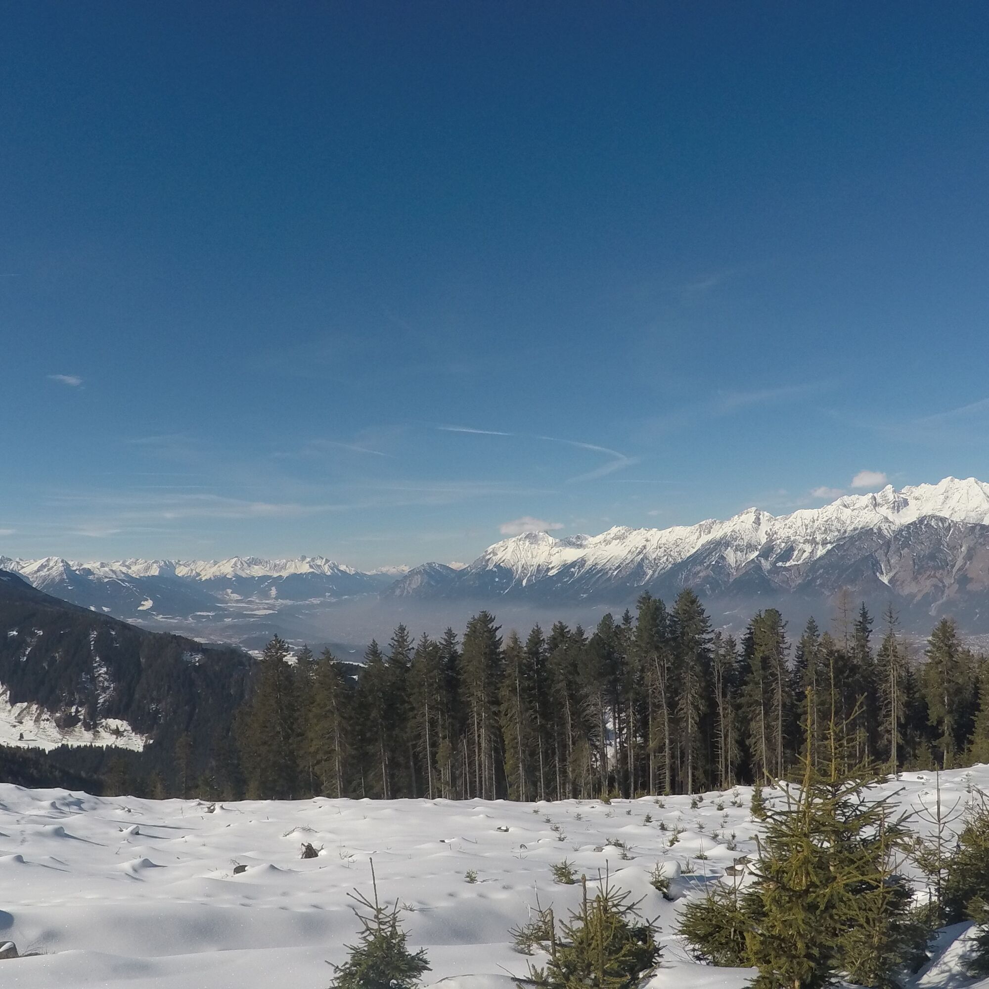
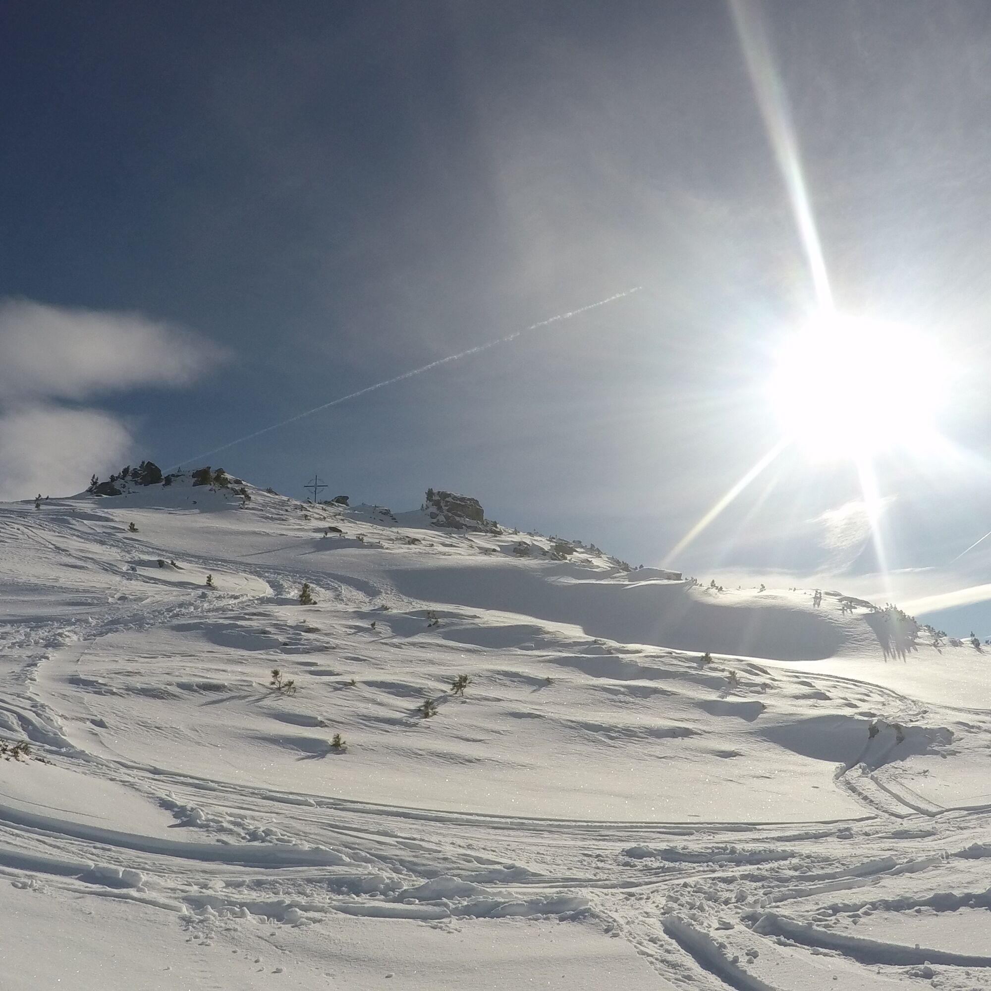
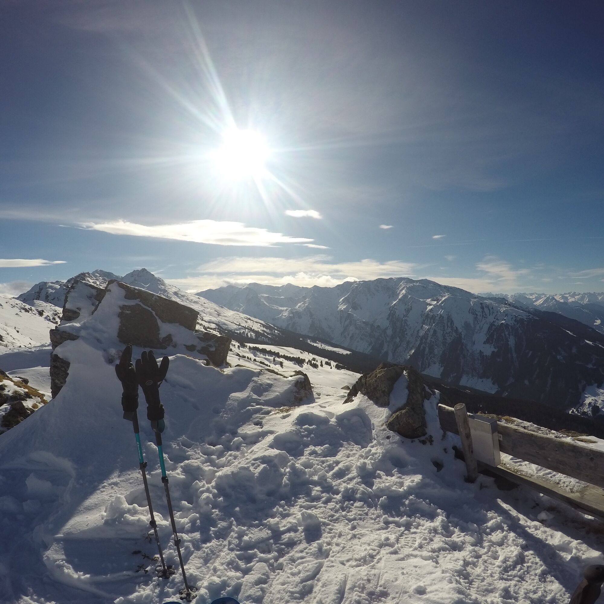
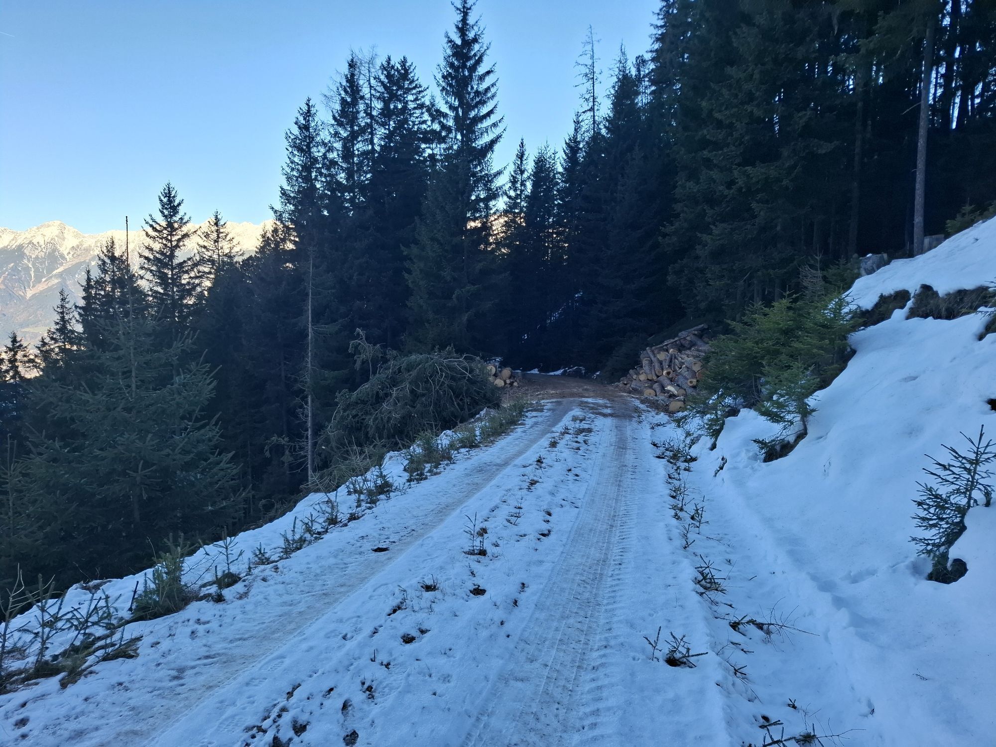
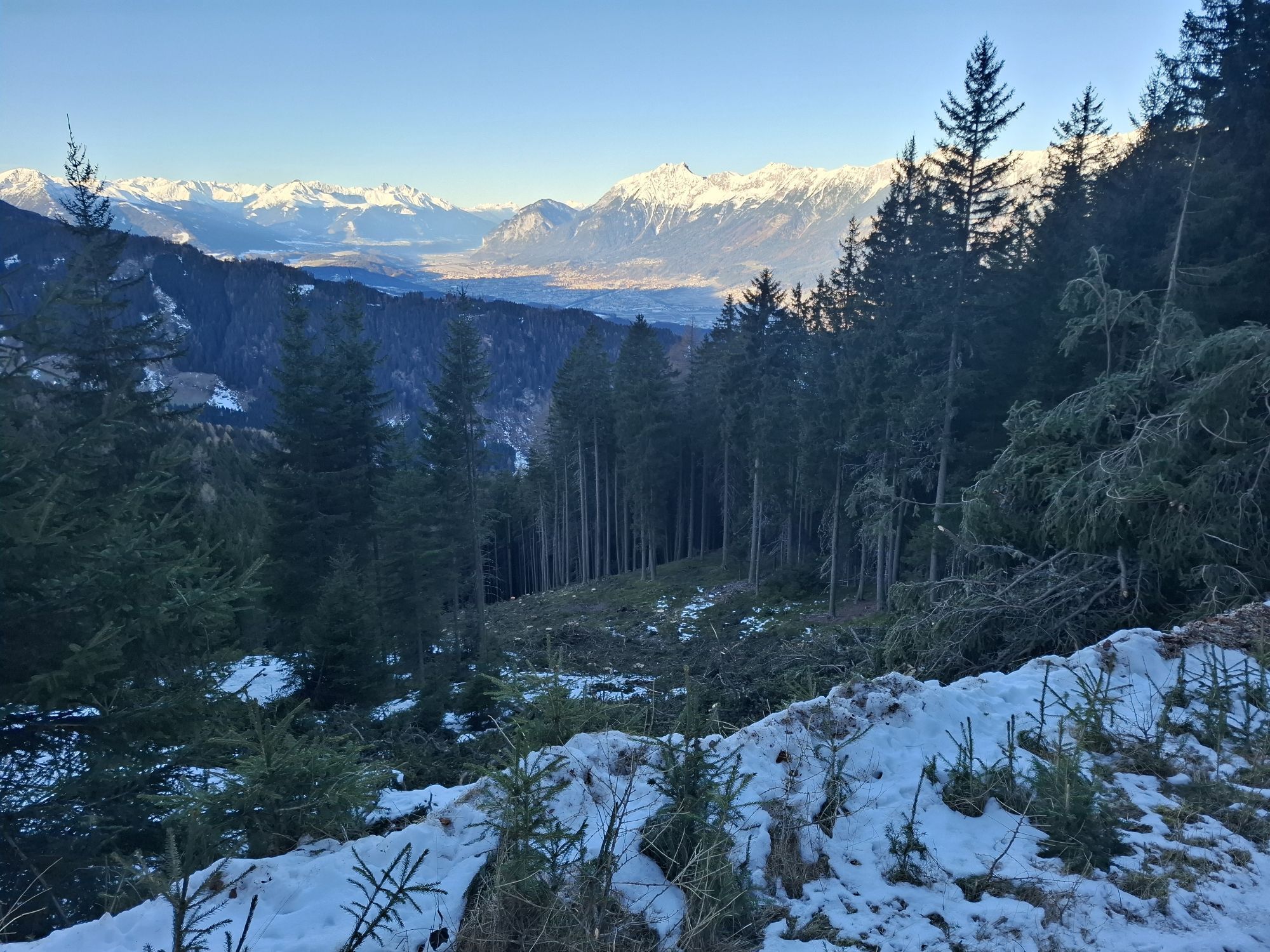
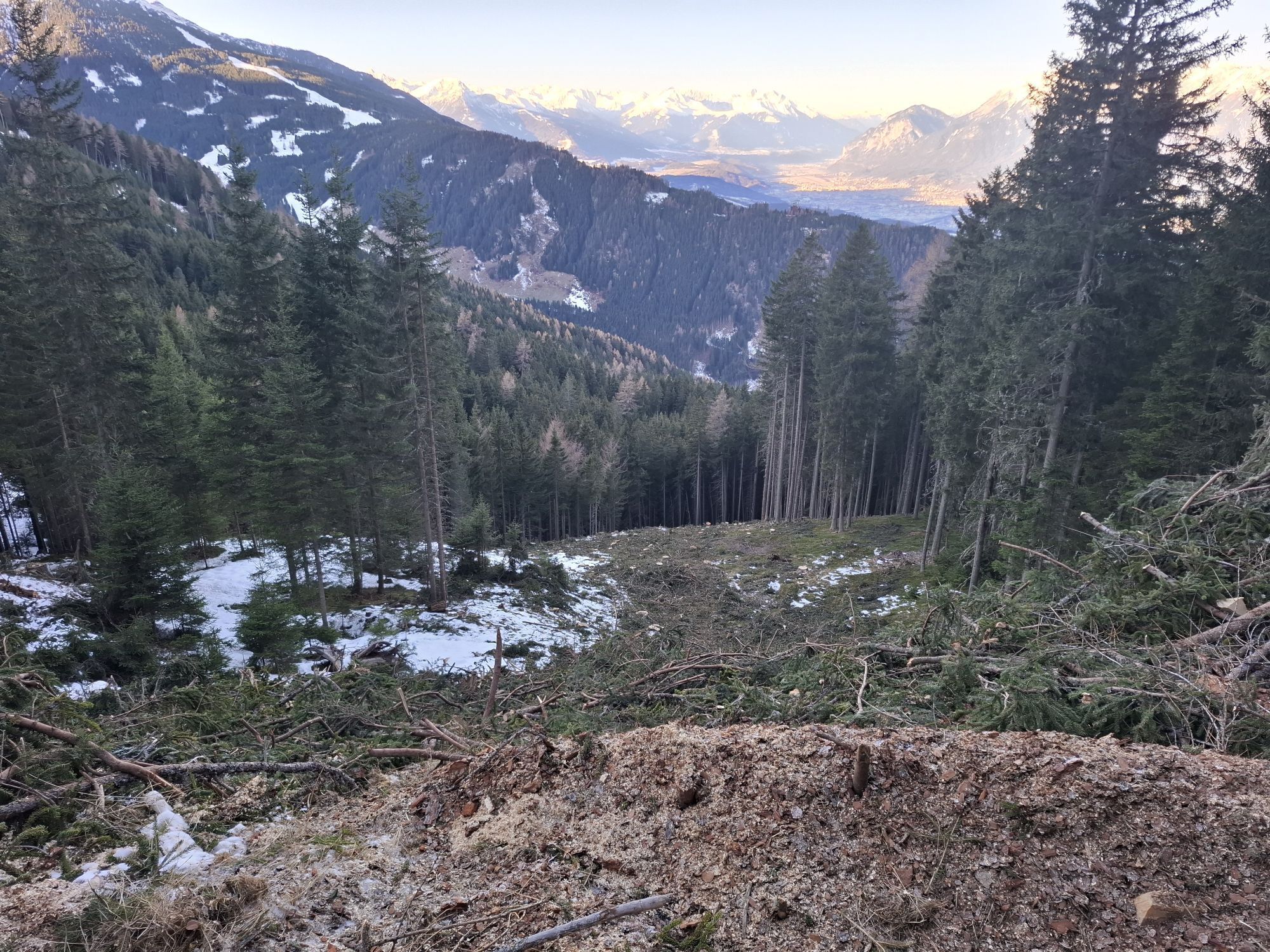
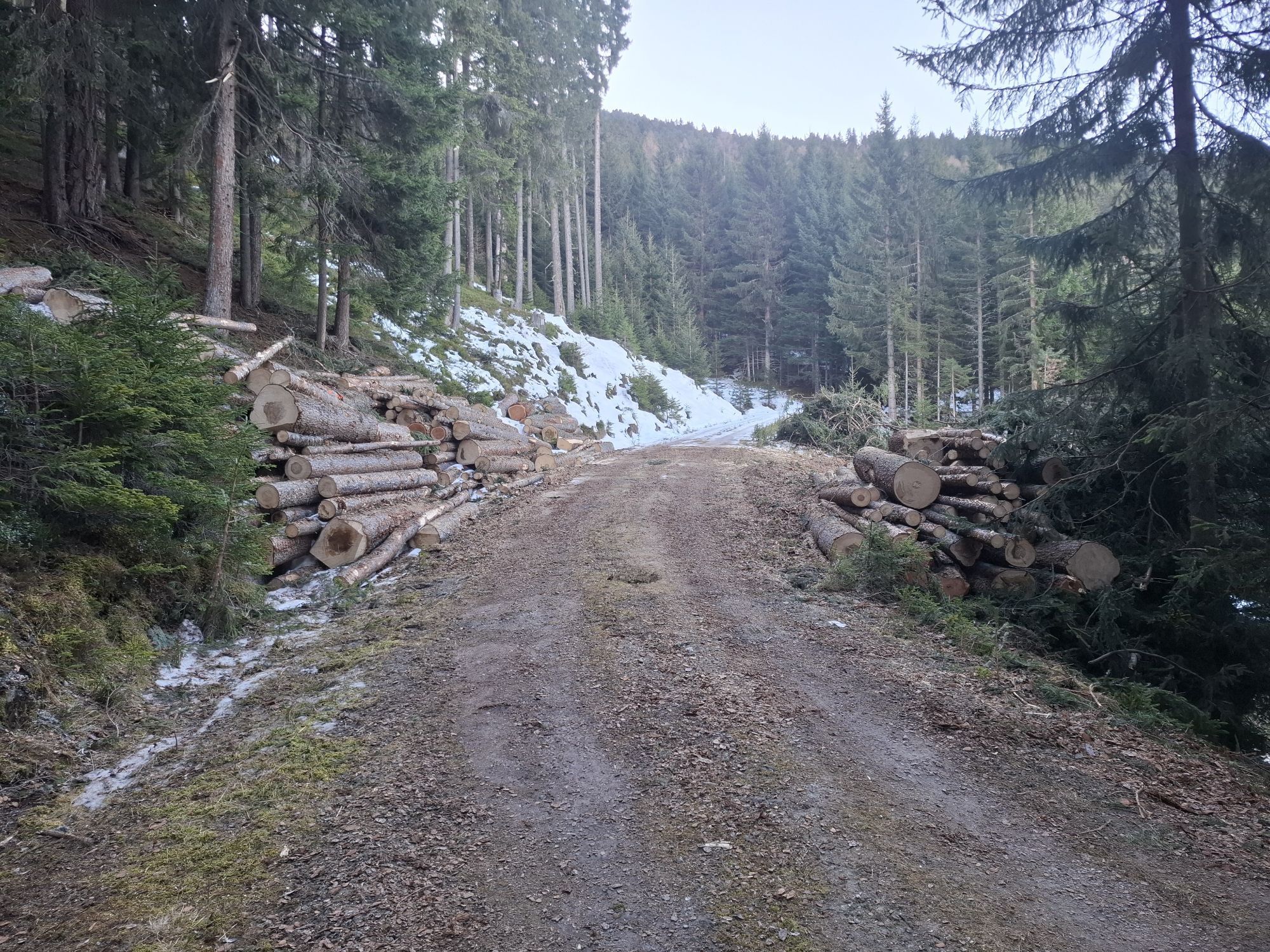
Above the Krepperhütte at about 1,400 meters the route begins. Those who want can follow the toboggan run on the right or the descent on the left – but the most beautiful choice and certainly the best is the middle path that winds through the forest. Especially with fresh snow, this ascent is a delight. The track crosses the forestry road several times before the open alpine meadows just below the Largozalm start.
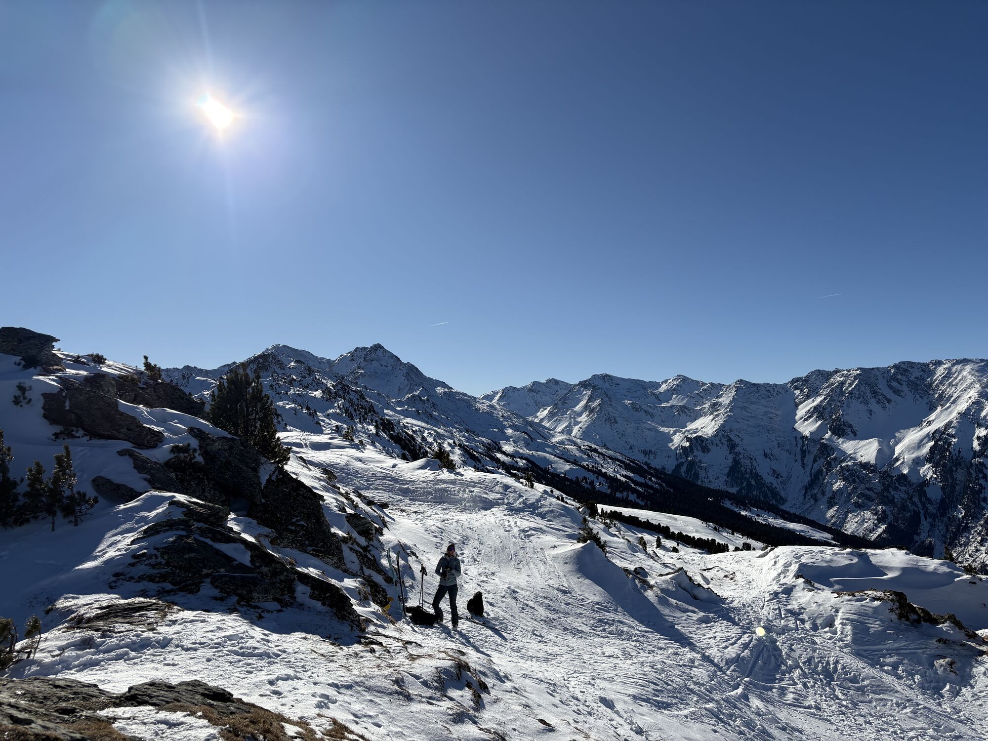
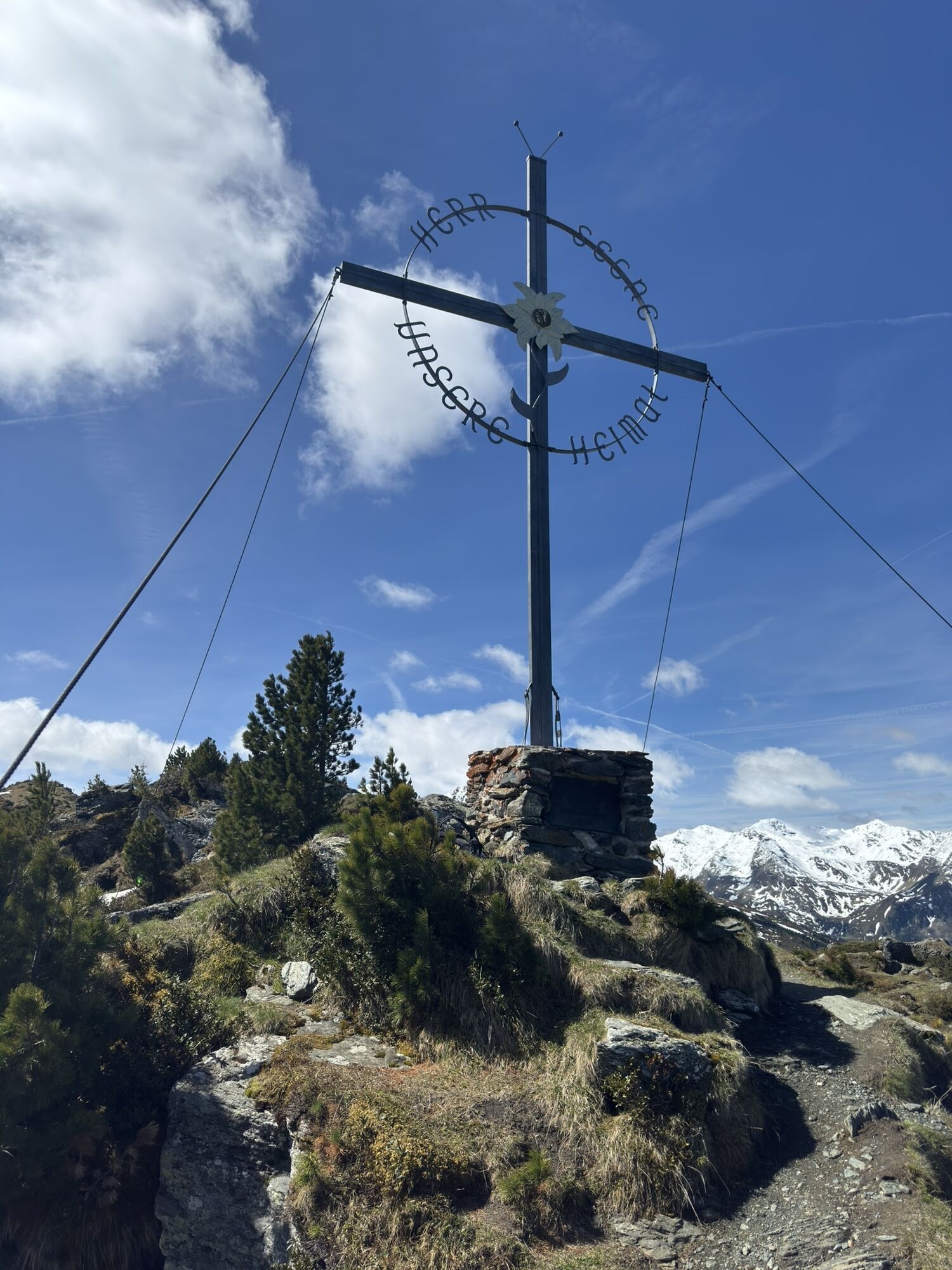
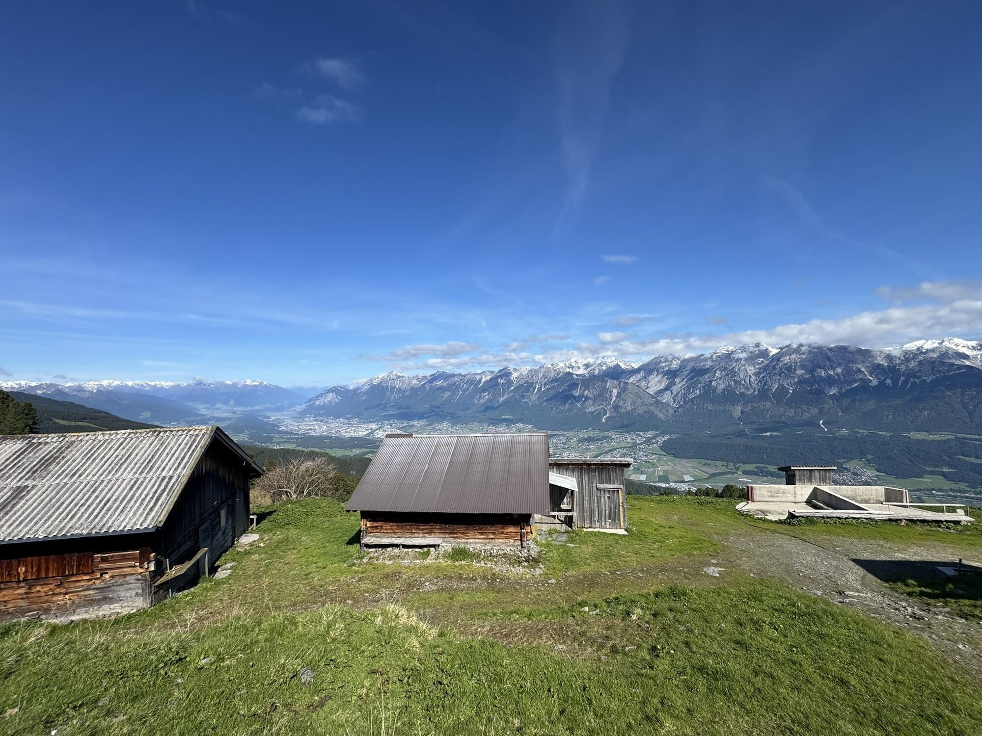
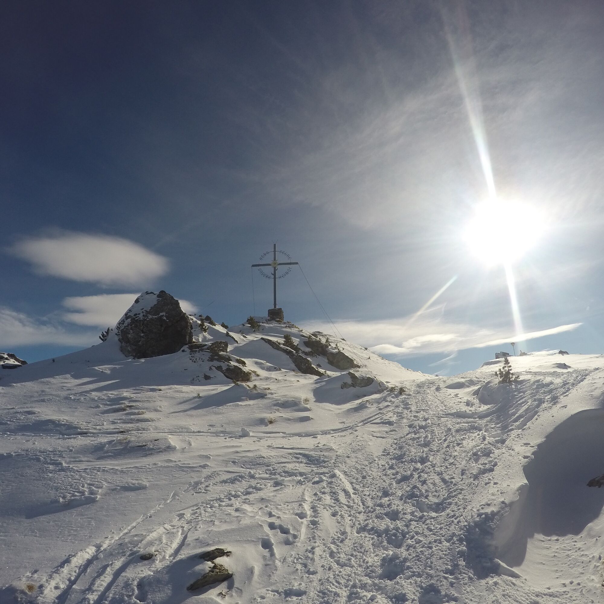
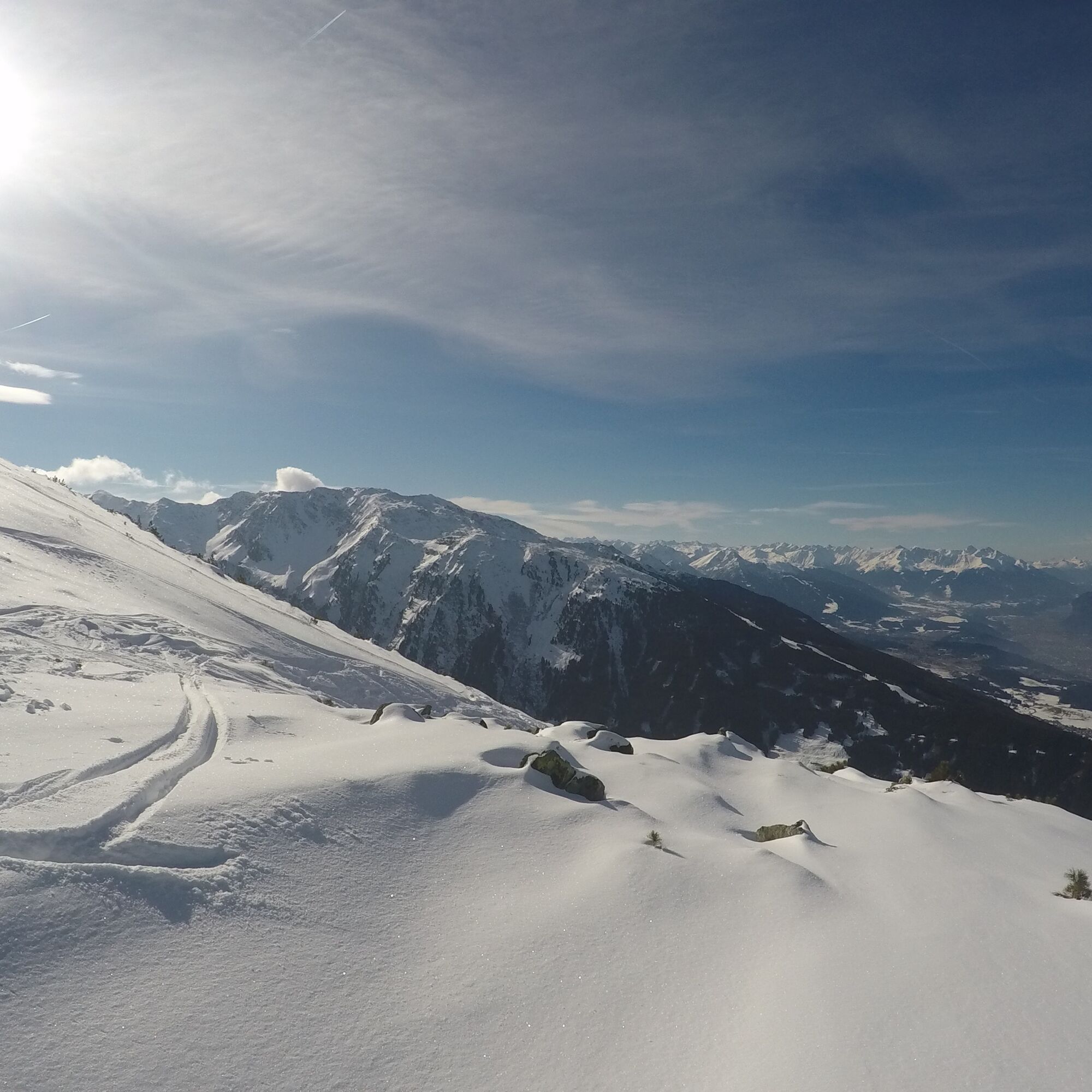
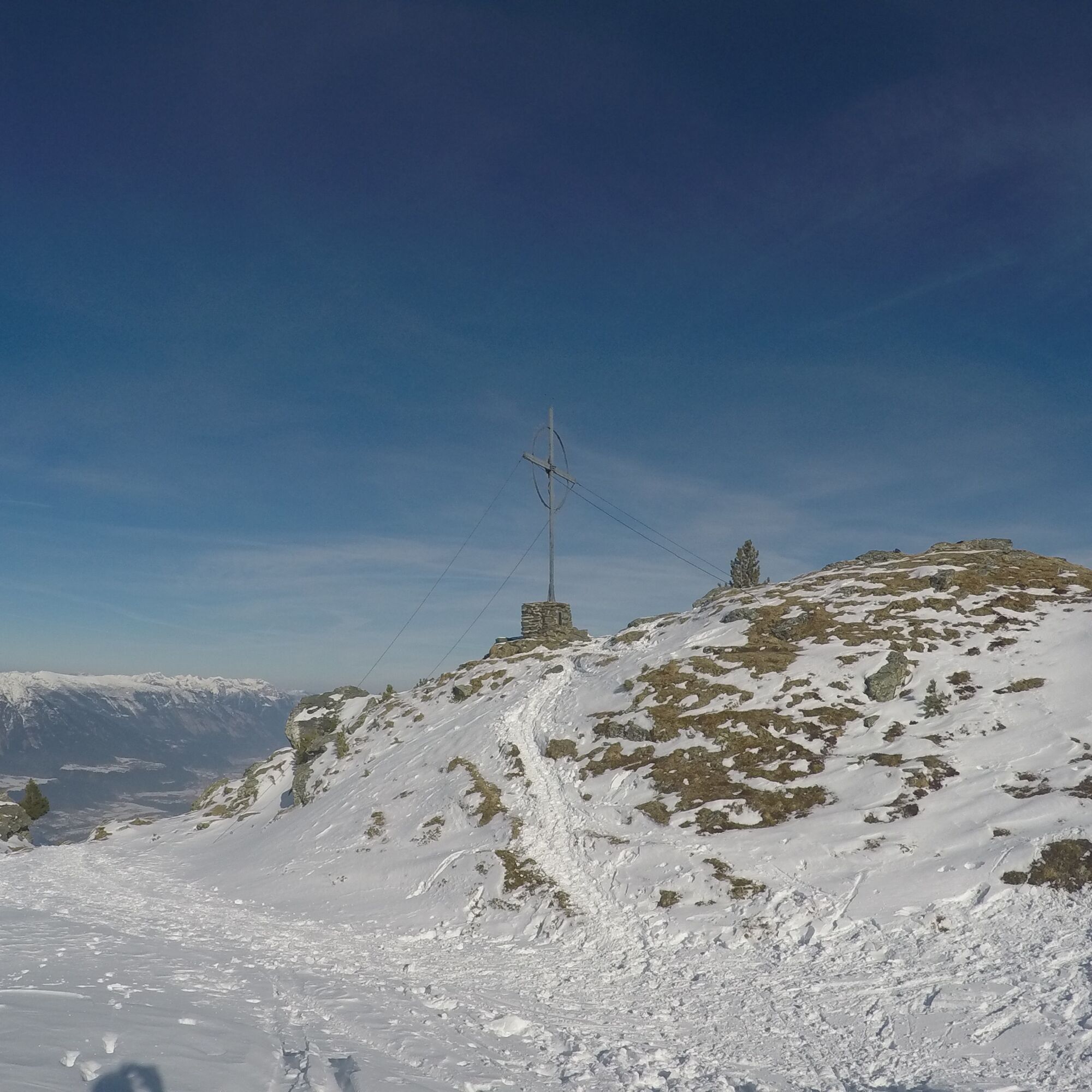
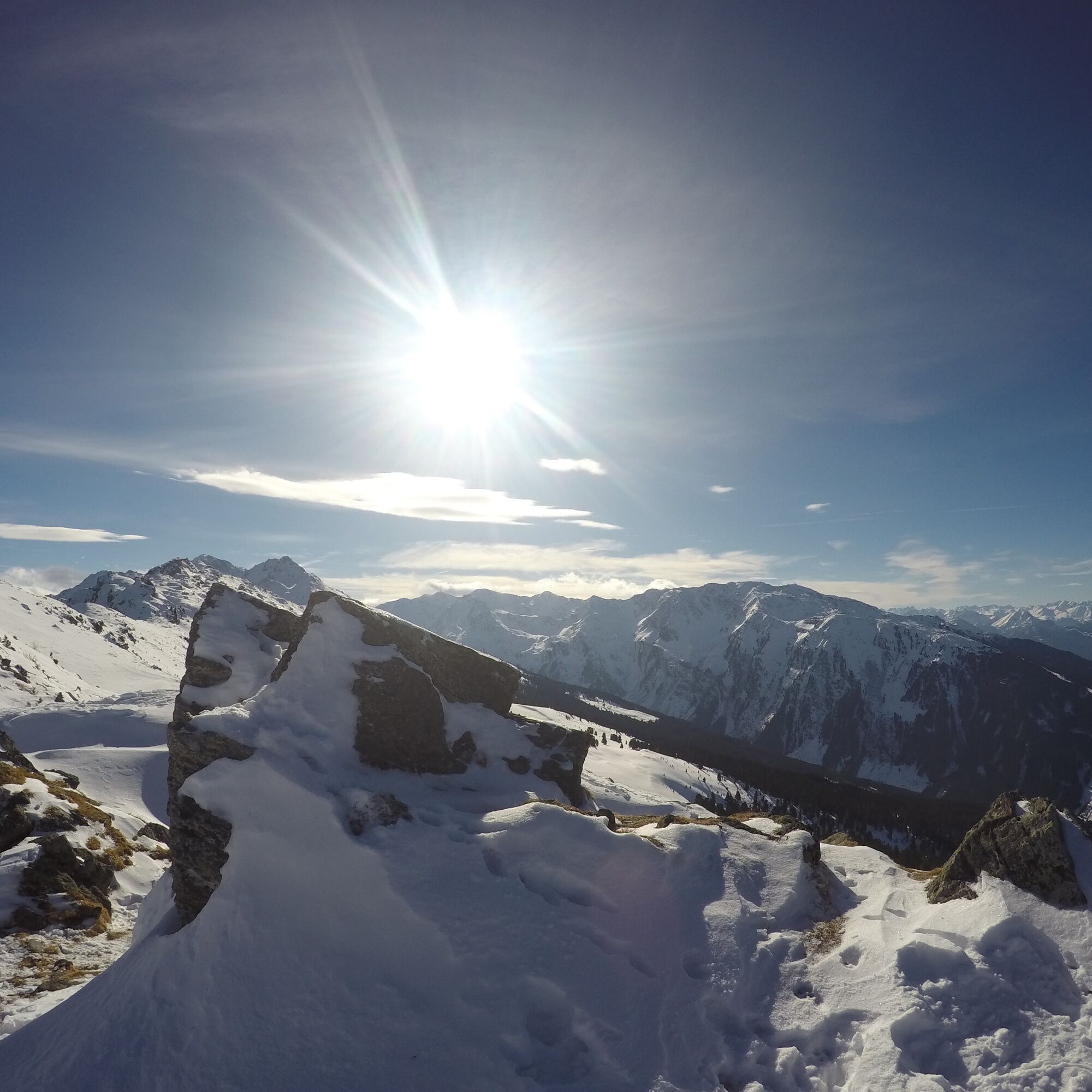
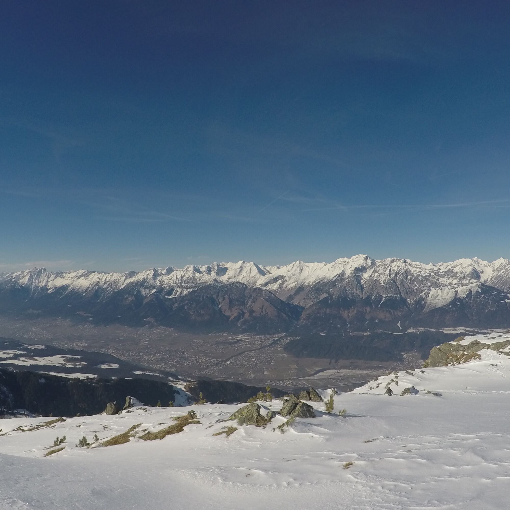
From this idyllic alpine village at 1,963 meters, which offers a first view of the Inntal, keep to the right on a broad ridge. The track leads southeast through hollows and over a short steep section to the summit.
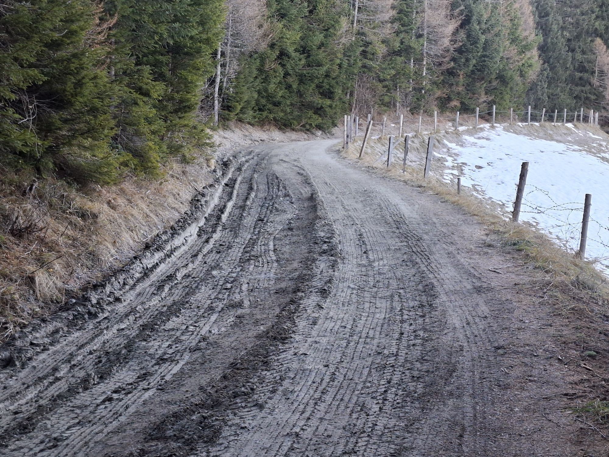
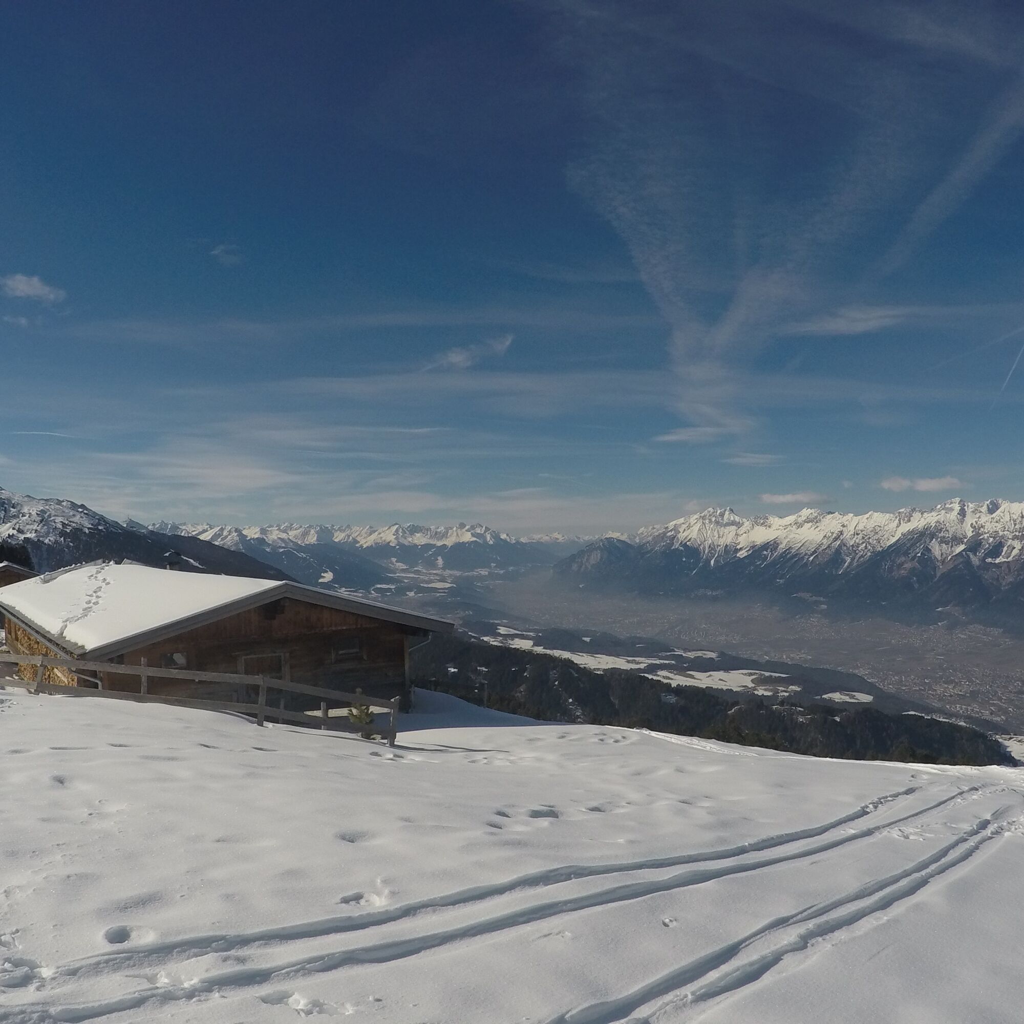
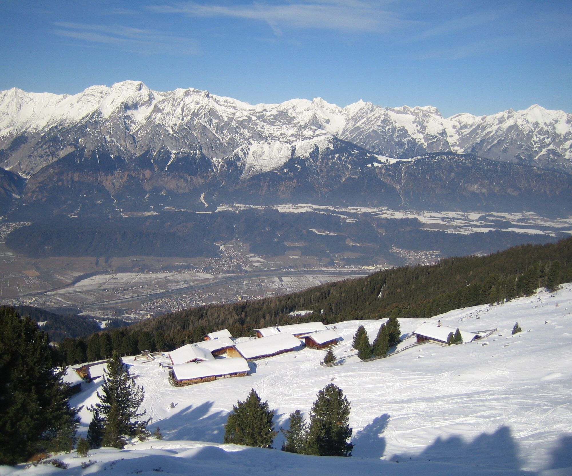
For the descent: gentle slopes offer ideal ride enjoyment up to the Largozalm. From here continue on the forest road.
Tak
From Germany:Border crossing Kiefersfelden - Kufstein - approx. 70 km to Hall via Autobahn A 12 - take exit 61-Wattens - turn onto Großvolderbergstr./L371 - follow the signs to Krepperhütte
From Italy:Border crossing Brenner to Innsbruck - 10 km to Hall -> take exit 61-Wattens - turn onto Großvolderbergstr./L371 -follow the signs to Krepperhütte
From Switzerland: Landeck - Autobahn to Hall approx. 80 km -> take exit 61-Wattens - turn onto Großvolderbergstr./L371 -follow the signs to Krepperhütte
Parking below and above the Krepperhütte
Sun-drenched slopes until late in the afternoon!
Popularne wycieczki w okolicy
- 4,7
Felix-Kuen via ferrata on the Hundskopf
ciężkiVia ferrata 2,18 km - 4,7
Patscherkofl
średniWędrówka 18,5 km - 4,6
To the scenic Hochmahdkopf
średniWędrówka 8,31 km - 4,5
Up to the Largoz
średniWędrówka 7,01 km - 3,8
To the alpine inn St. Magdalena in the Halltal
średniWędrówka 7,24 km - 4,8
Halltal - Bettelwurfhütte - Kleiner und Großer Bettelwurf
ciężkiWycieczka wysokogórska 16,2 km - 4,9
3 Almen Karwendelrunde MTB Route 408
ciężkiMountainbike 23,8 km - 4,6
Hochfügen, Vier-Almen-Tour, Tirol/Österreich
światłoWędrówka 7,82 km - 4,0
Innsbruck/ Igls: Patscherkofel
Mountainbike 14,1 km - 4,5
Von Gnadenwald zur Walderalm
średniWędrówka 4,09 km

Wędrówki i tropienie


Nie przegap ofert i inspiracji na następne wakacje
Twój adres e-mail została dodana do listy mailingowej.