
Ski tour Hochgrabe 2.951m (via Außervillgraten)
ciężki
Pobierz tę trasę na swój telefon komórkowy
Ski tour Hochgrabe 2.951m (via Außervillgraten)
ciężki
Wycieczka narciarska
10,58
km
Zeskanuj kod QR i rozpocznij nawigację w aplikacji bergfex.


Wędrówki i tropienie



Ski tour Hochgrabe 2.951m (via Außervillgraten)
ciężki
Odległość
10,6
km
Czas trwania
06:00
h
Ascent
1.382
hm
Poziom morza
1.526 -
2.922
m

Nawiguj po trasie w aplikacji
Zainstaluj aplikację za darmo i śledź trasę dzięki nawigacji GPS i funkcji śledzenia.
Skorzystaj już teraz z funkcji „ bergfex ” w aplikacji
Zeskanuj kod QR za pomocą aparatu
Po zainstalowaniu aplikacji treść otworzy się od razu. Jeśli jeszcze nie masz tej aplikacji, zostaniesz przekierowany do strony, z której możesz ją bezpłatnie pobrać.
Ścieżka do pobrania
Ski tour Hochgrabe 2.951m (via Außervillgraten)
ciężki
Wycieczka narciarska
10,58
km

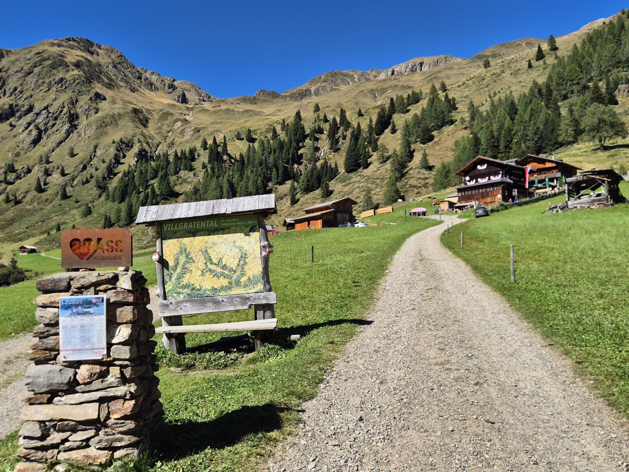
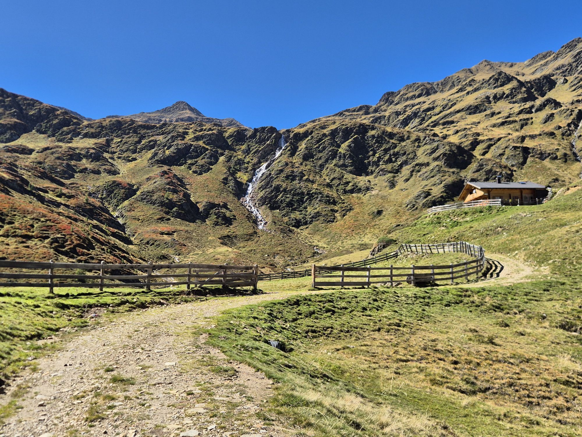
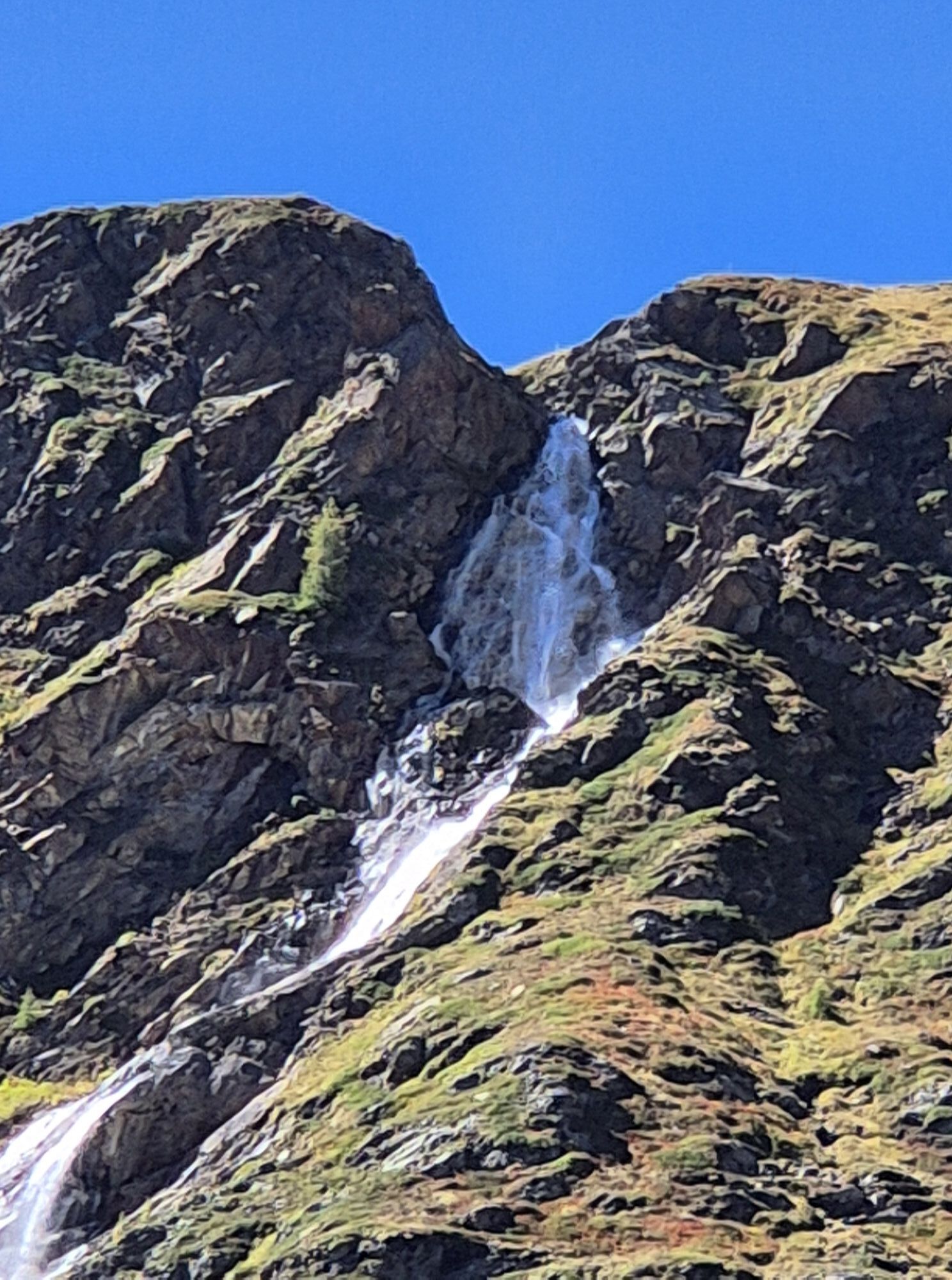
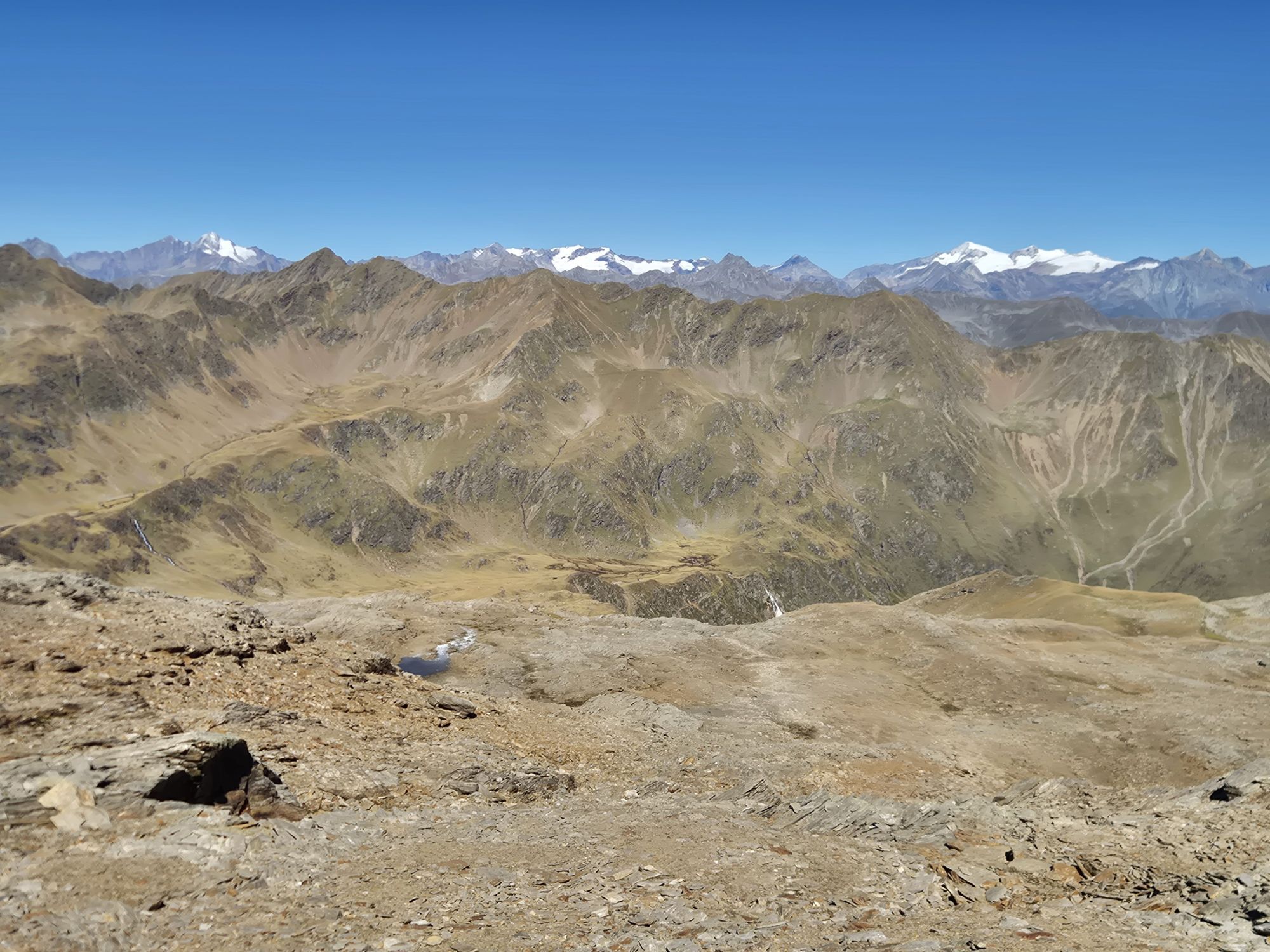
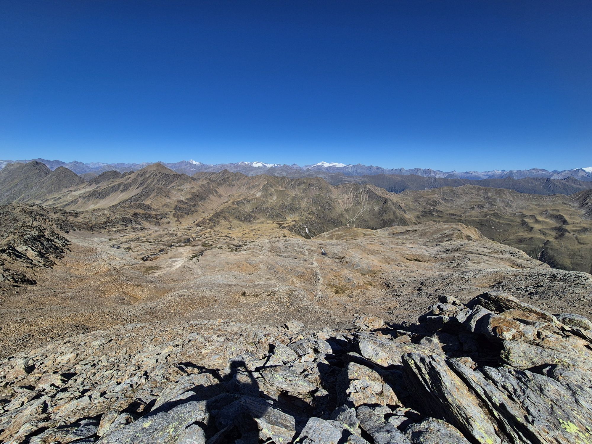
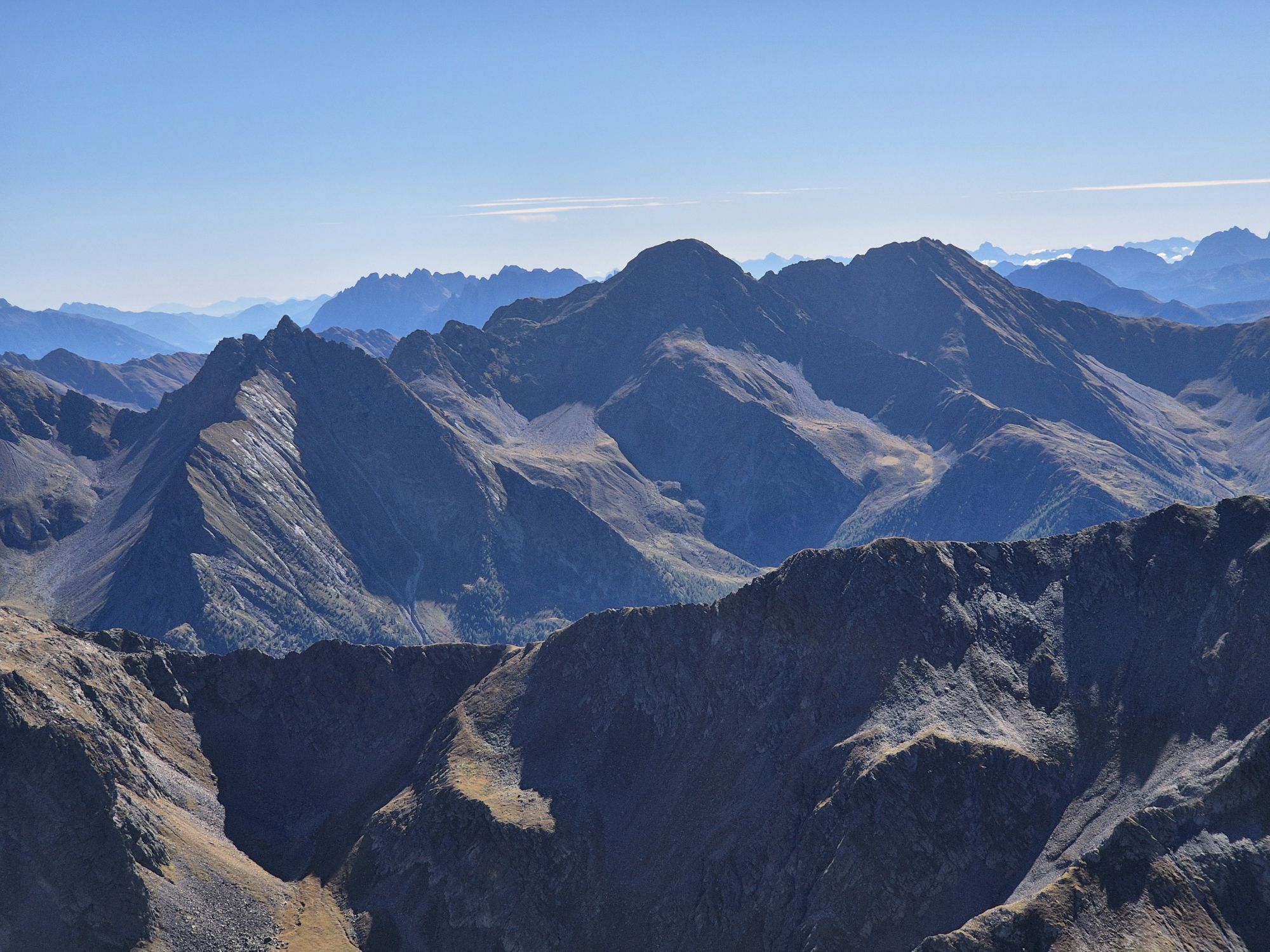
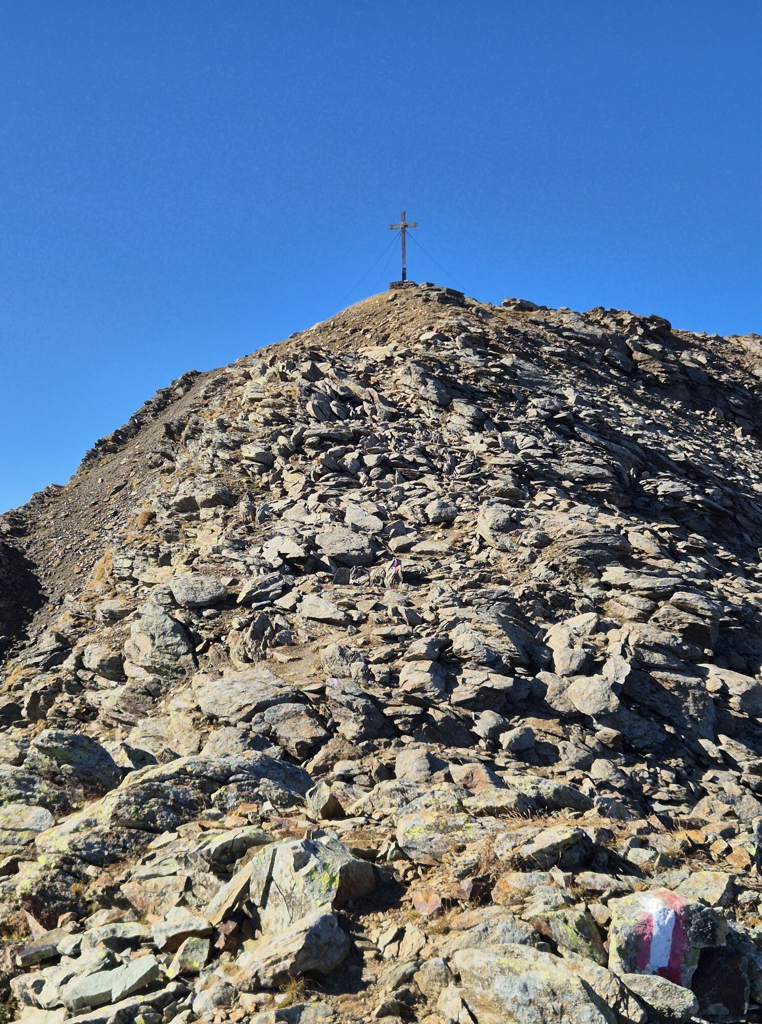
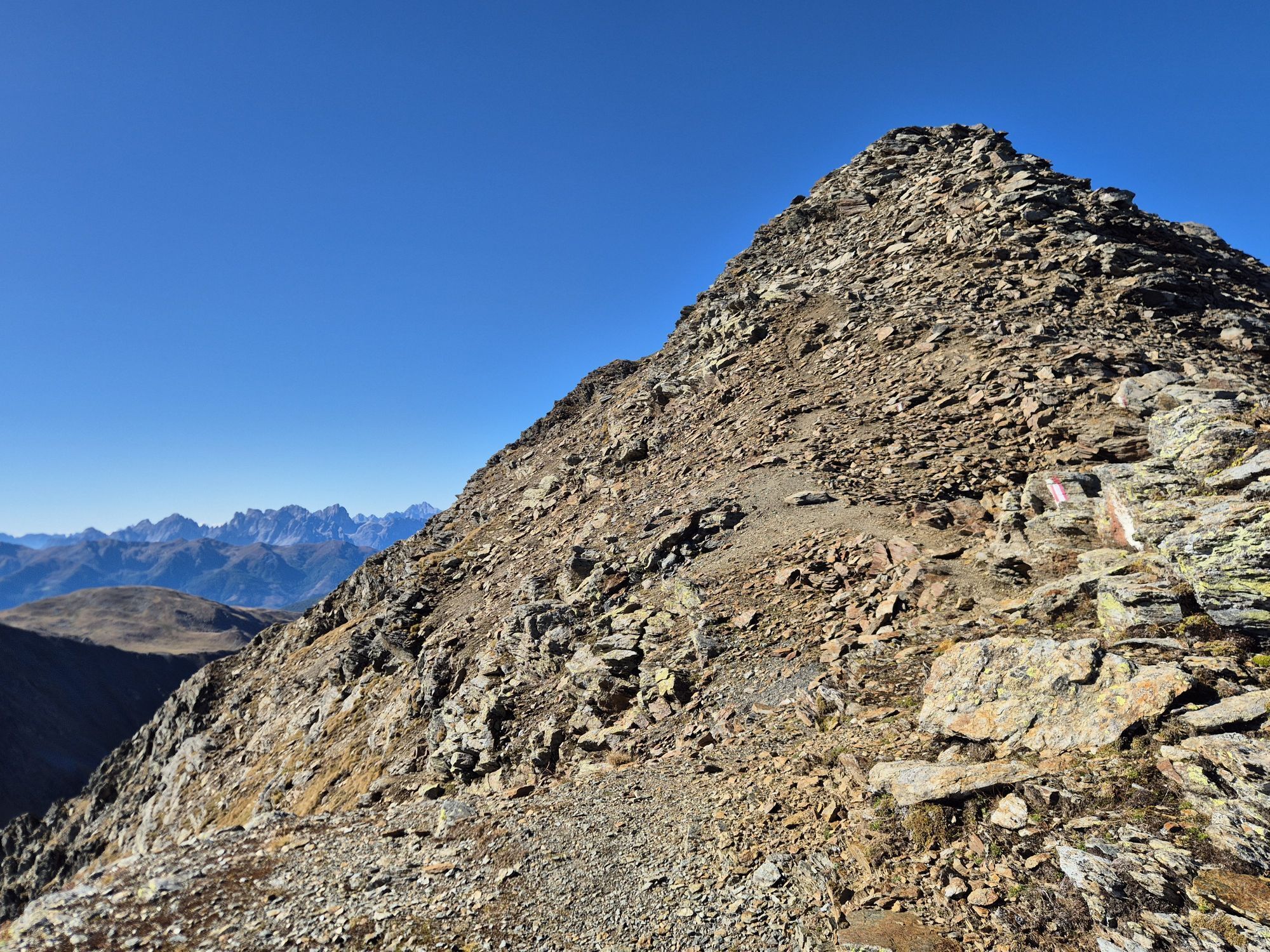
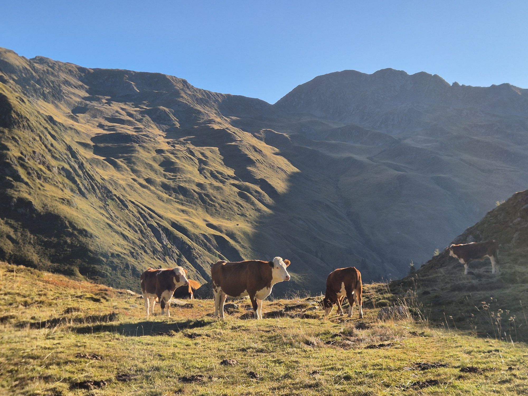
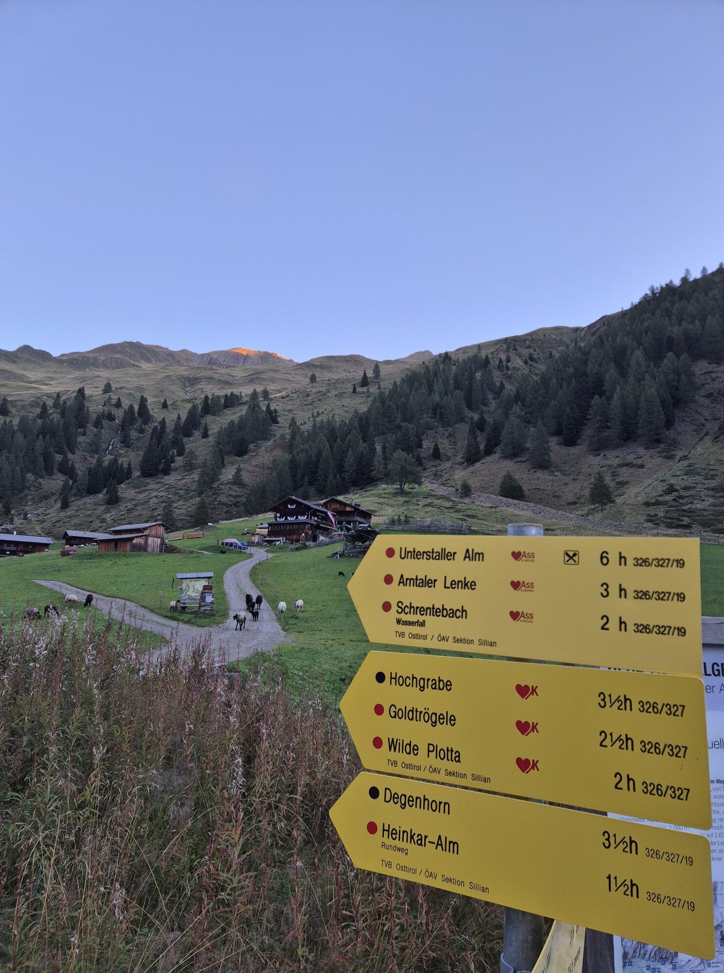
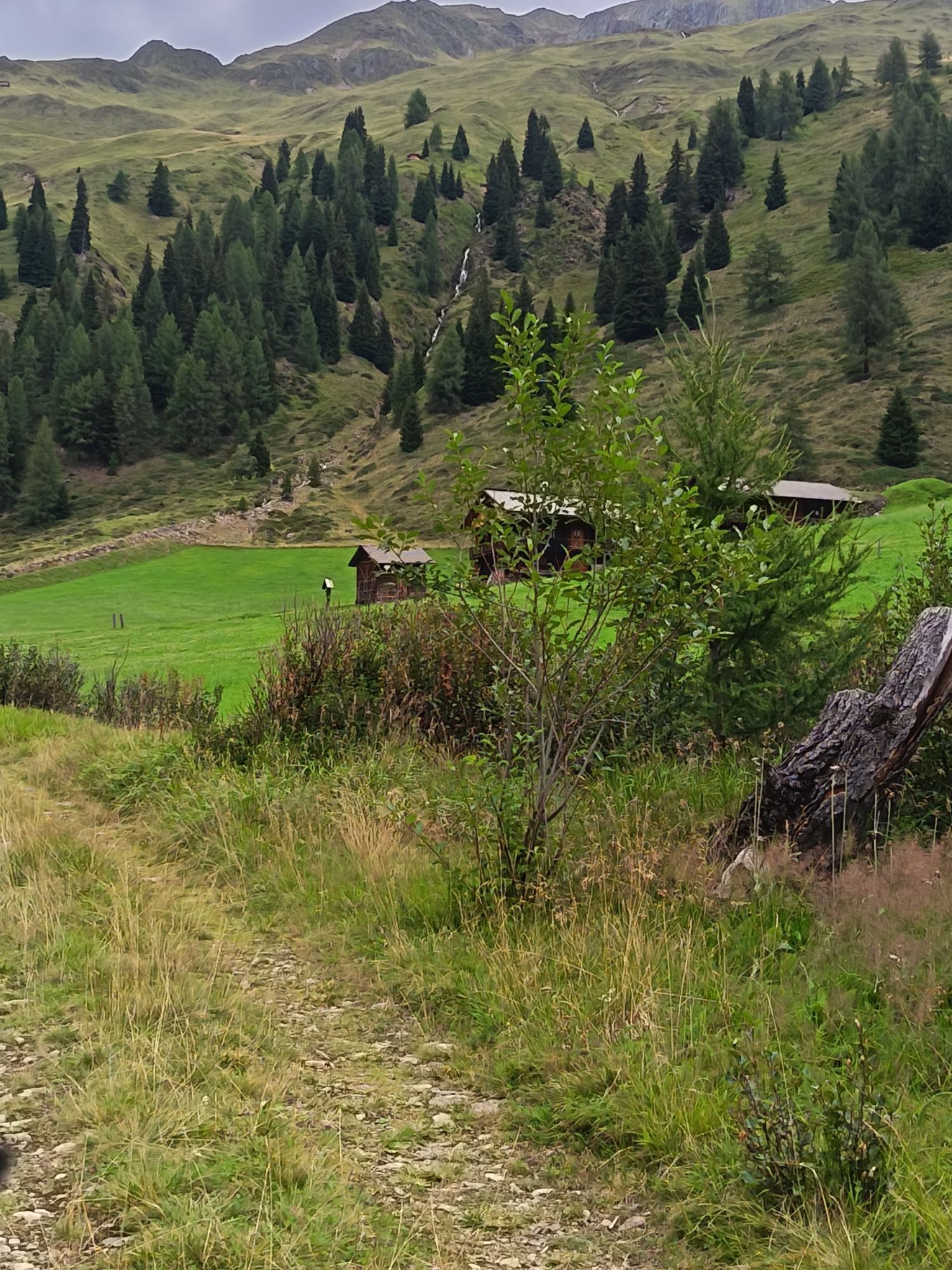
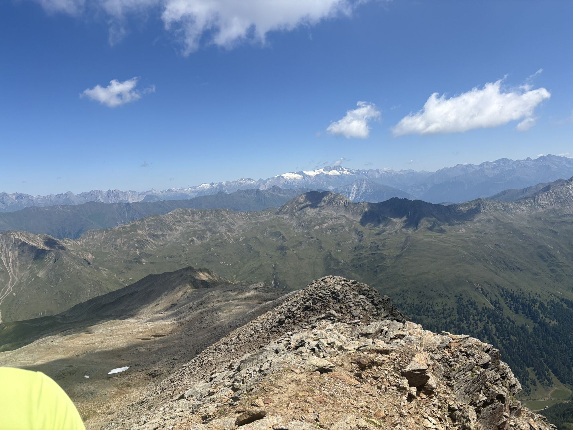

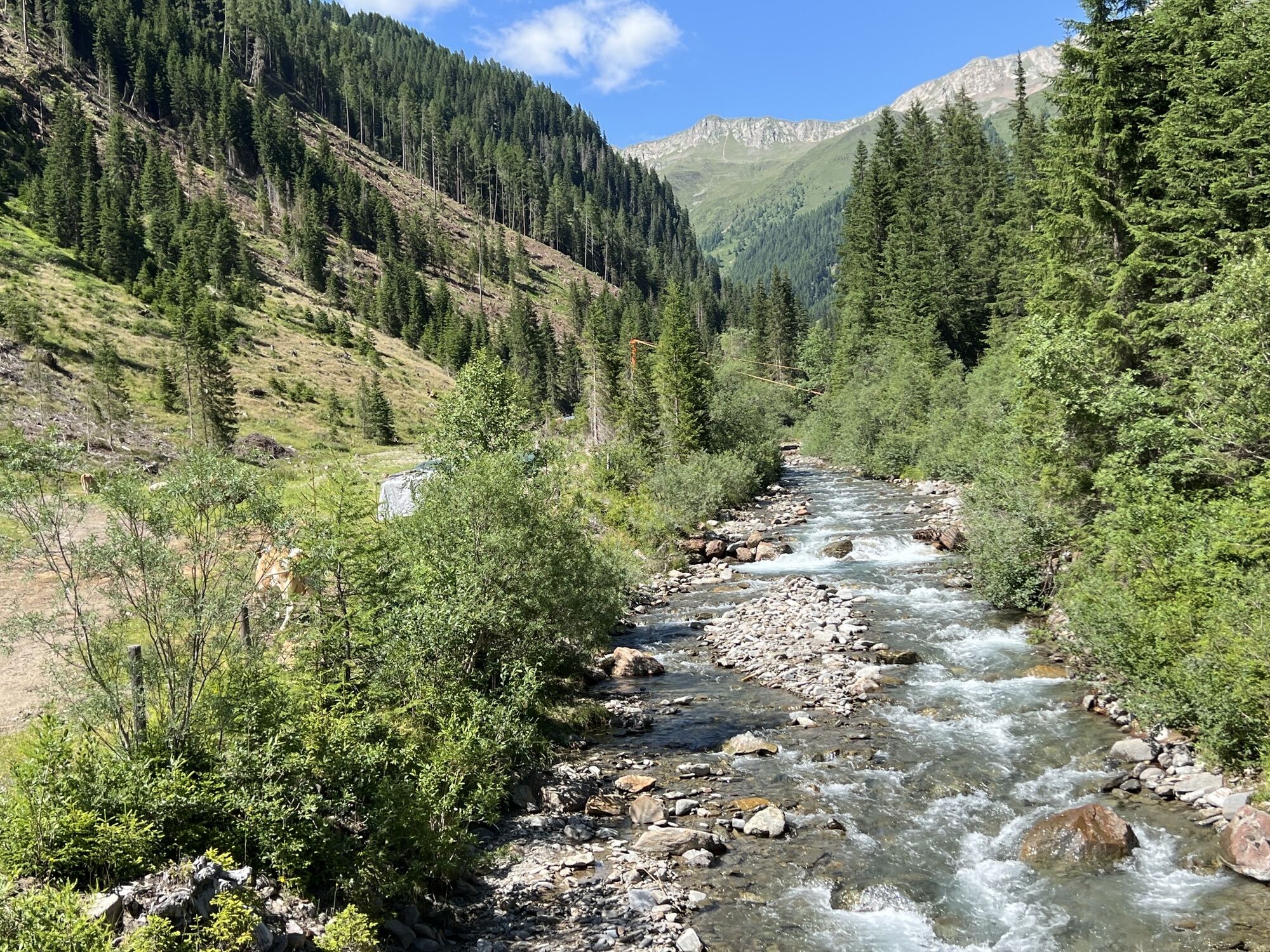
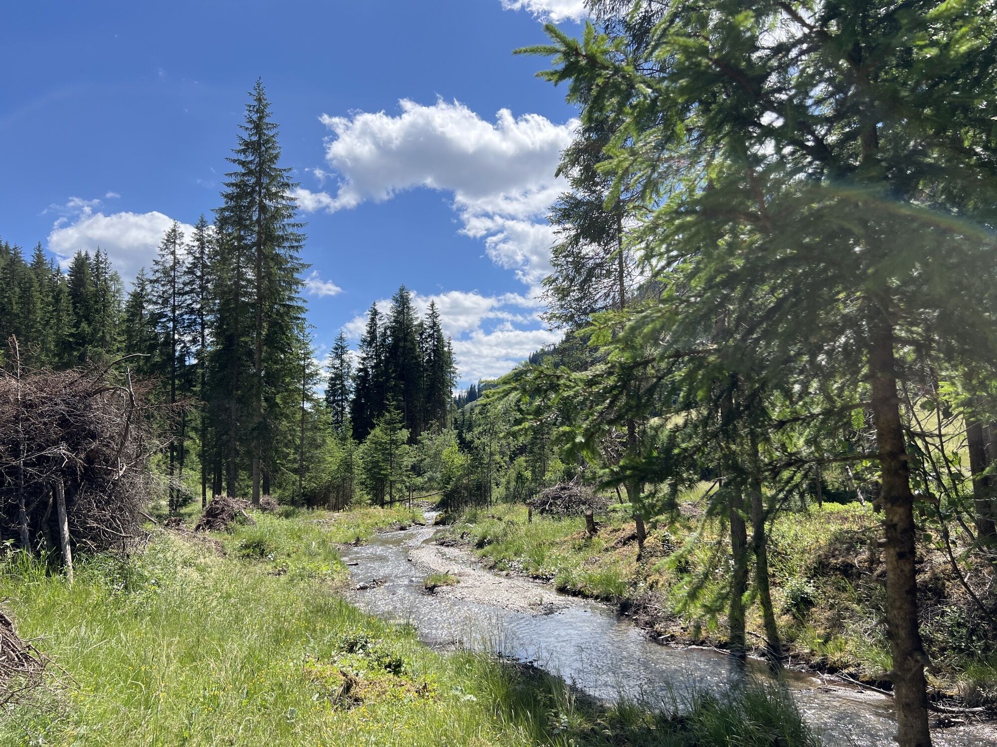
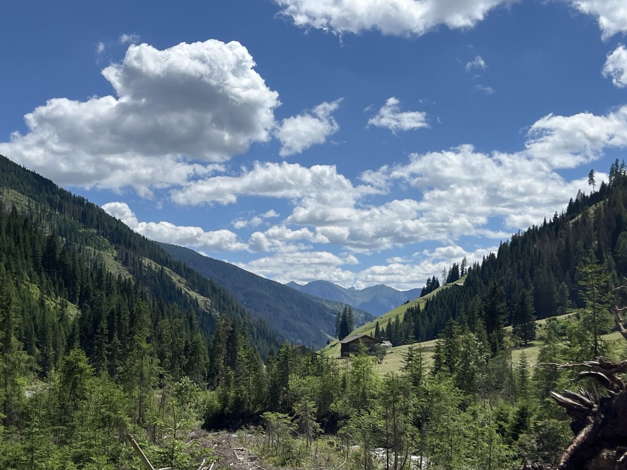
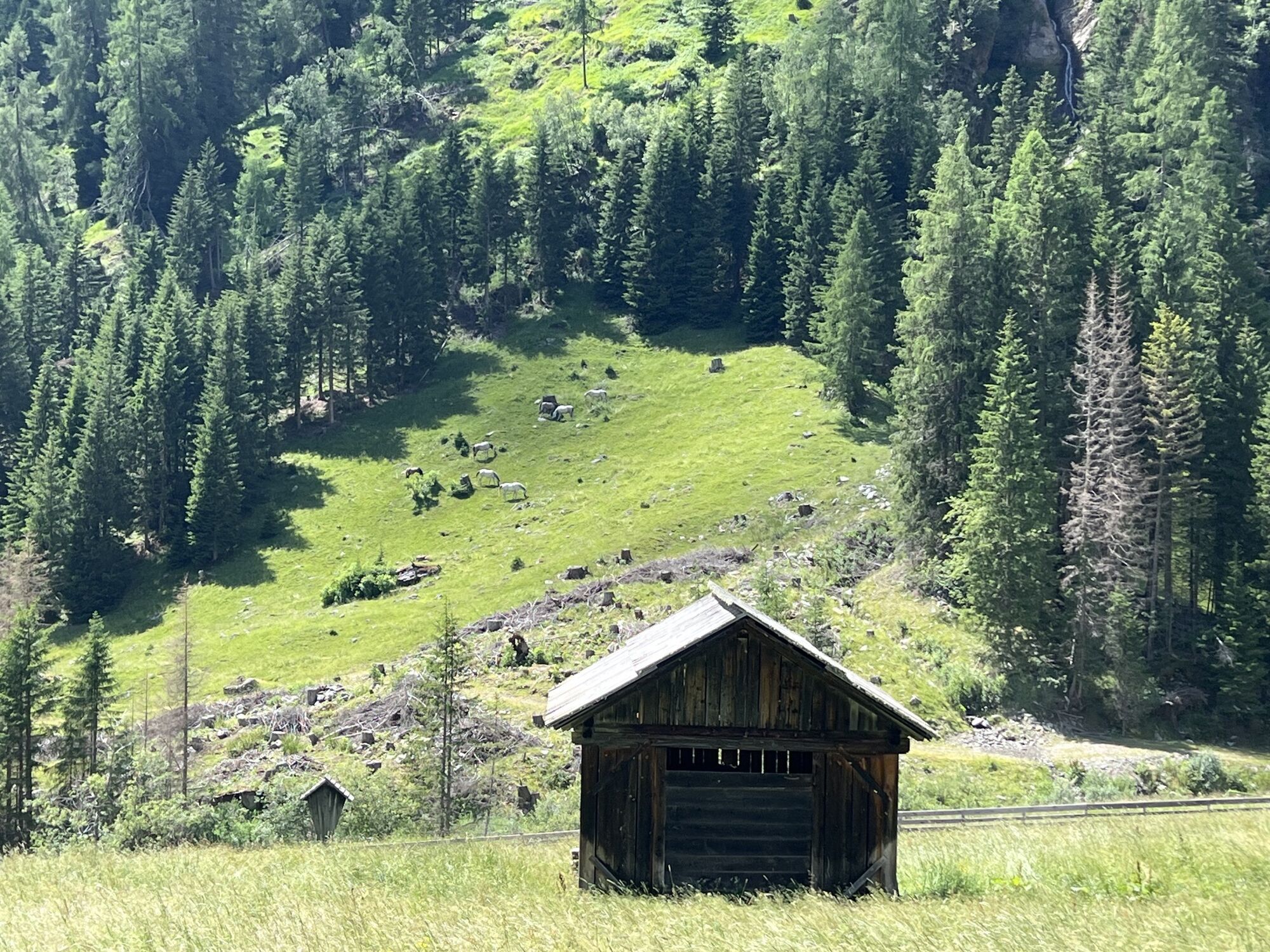
Via the Alpine road, pass Volkzeinerhütte 1848 m heading to the end of the valley. Along the summer trail to the Heinkaralm, from it flat initially, then in a broad left sweep, cross the Schrentebach at...
Opis
Via the Alpine road, pass Volkzeinerhütte 1848 m heading to the end of the valley. Along the summer trail to the Heinkaralm, from it flat initially, then in a broad left sweep, cross the Schrentebach at a favourable point. Ascend via the slopes which follow, to the left of the Bachgraben, proceeding in a south-westerly direction via a trough until you get to flat terrain at around 2250 m. A steep gully is now well visible (40° key point of the tour), via which there is a further climb. After overcoming this, the terrain now very clearly flattens out. Continue via roughs and base areas in a south-easterly direction, until at about 2800 m the route bears left and you get to the north-east ridge via a steep section, where a steeper ridge starts (use skis when the conditions are good) and you now get to the summit.
Characteristics:
The Hochgrabe is not just a challenging ski summit from Innervillgraten. The tour described here via Winkeltal is only for habitual ski mountaineers. The tour lengths, steepness of the gully and orientation exact high demands from every ski mountaineer. When visibility is poor the tour just be stopped in good time. Due to the heights of the summits, almost 3000 m, you can still come across powder snow on the north flanks in April. The panorama views at the summit are stunning. Your gaze is drawn from the Dolomites across the Ortler group and the Hohe Tauern right to the Julian Alps.
Descent: as the ascent or after the steep gully exit on the right side of the valley (north slope) in the summer trail area to Volkzeinerhütte or take the south ascent via Einettal and take a taxi back to the starting point.
Trasa
Trasa
Ski tour Hochgrabe 2.951m (via Außervillgraten)
ciężki
Wycieczka narciarska
10,58
km


Sprzęt
Basic equipment for ski tours includes touring skis with skins, touring poles, suitable touring ski boots and functional clothing based on the layering principle including sufficient spare clothes. Keep your backpack weight as low as possible. Essential in open terrain is complete avalanche emergency equipment (transceiver, shovel, probe) as well as a first aid kit, a bivy sack and a charged mobile phone. Sufficient fluids and food should also be carried. An avalanche airbag backpack can further increase the chances of survival in an emergency.
This information serves as a guide and does not claim to be exhaustive. Equipment must always be adapted to the tour destination, weather conditions, season, natural hazards, environmental influences and personal needs.
This information serves as a guide and does not claim to be exhaustive. Equipment must always be adapted to the tour destination, weather conditions, season, natural hazards, environmental influences and personal needs.
Informacje o przyjeździe
Transport publiczny
Mit dem Bus bis zur Haltestelle "Außervillgraten Reiterstube"
Parking
Mit dem Auto bis zur Reiterstube in Außervillgraten
Parkplatz Reiterstube
Parkplatz Reiterstube
Nie ma jeszcze recenzji

Wszystkie kamery internetowe na mapie
Zainstaluj aplikację za darmo i porównaj obrazy na żywo z kilku miejsc, zanim wyruszysz w drogę.
Skorzystaj już teraz z funkcji „ bergfex ” w aplikacji
Zeskanuj kod QR za pomocą aparatu
Po zainstalowaniu aplikacji treść otworzy się od razu. Jeśli jeszcze nie masz tej aplikacji, zostaniesz przekierowany do strony, z której możesz ją bezpłatnie pobrać.
Popularne wycieczki w okolicy
- 4,7
Von Kalkstein auf das Toblacher Pfannhorn (2.663 m) und Marchkinkele
średniWędrówka 14,2 km - 4,2
Iseltrail Stage 3
średniWędrówka 17,0 km - 5,0
Schwarzsee
średniWędrówka 7,38 km - 5,0
Trojertal, Hintere Trojeralm
światłoWędrówka 8,97 km - 5,0
Kleiner Zunig, Matrei in Osttirol, Österreich Matrei in Osttirol, Österreich
średniWędrówka 12,6 km - 4,3
Iseltrail Stage 2
średniWędrówka 14,5 km - 5,0
Kreuzspitze, 2.624 m
średniWędrówka 5,27 km - 4,3
Thurntaler Rundweg - Parggenspitze - Hochrast
średniWędrówka 18,0 km - 4,6
Brugger Alm - Ragötzel Hütte - Eggenhütte
średniWędrówka 10,1 km - 3,5
Speikboden
średniWędrówka 8,60 km
Wędrówki i tropienie

Ponad 550.000 propozycji wycieczek, szczegółowe mapy i intuicyjny planer tras sprawiają, że aplikacja jest niezbędna dla wszystkich entuzjastów przyrody.

Nie przegap ofert i inspiracji na następne wakacje
Zapisz się do newslettera
Błąd
Wystąpił błąd. Spróbuj ponownie.Dziękujemy za rejestrację
Twój adres e-mail została dodana do listy mailingowej.
Wycieczki po całej Europie
Austria Szwajcaria Niemcy Włochy Słowenię Francja Holandia Belgia Polska Liechtenstein Czechy Słowacja Hiszpania Chorwacja Bośnia i Hercegowina Luksemburg Andorra Portugalia Islandia Wielka Brytania Irlandia Grecja Albania Macedonia Północna Malta Norwegia Czarnogóra Mołdawia Kosowo Węgry San Marino Rumunia Estonia Łotwa Białoruś Cypr Litwa Serbia Bułgaria Monako Dania Szwecja Finlandia


