







Goethe Hiking Trail - Ilmenau - Thuringian Forest
Poziom trudności: T1
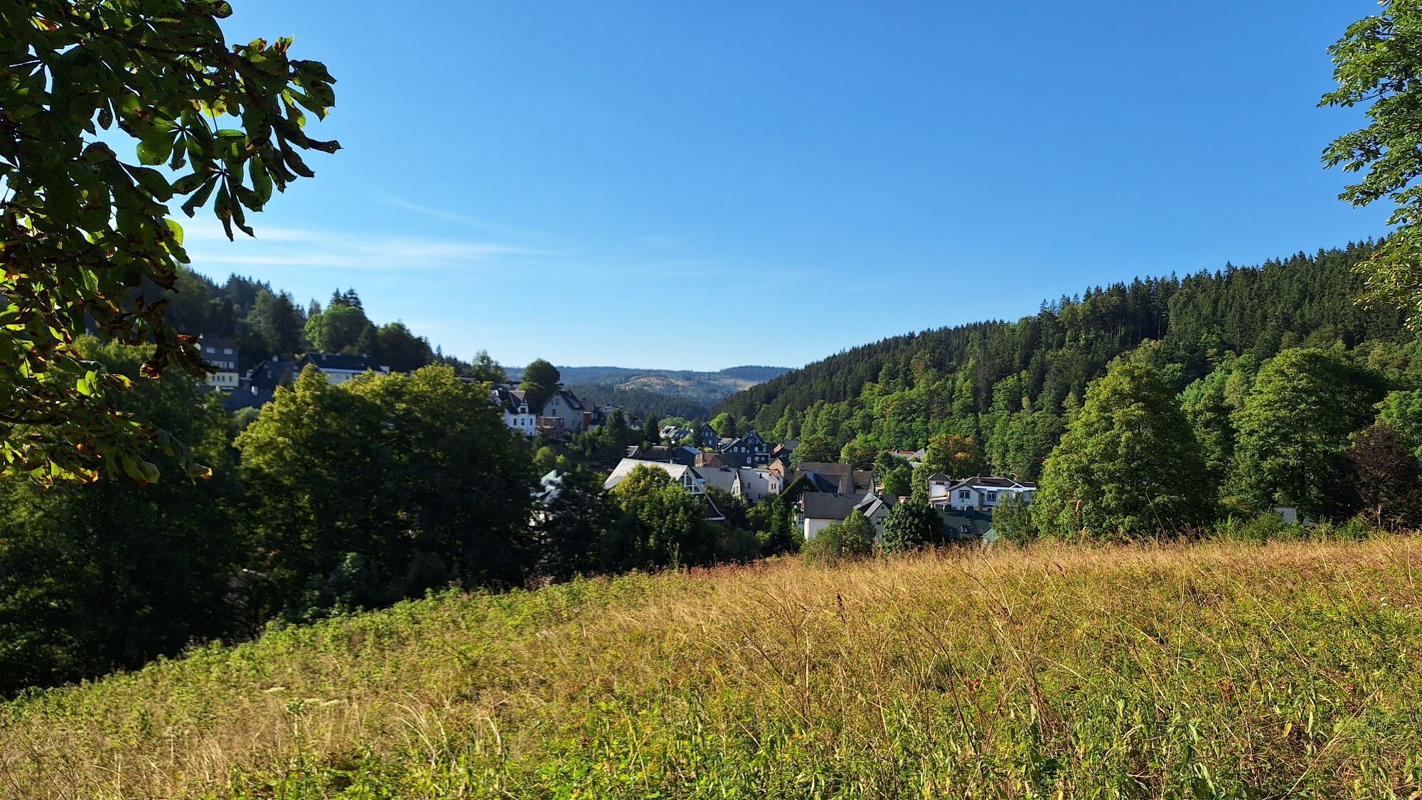
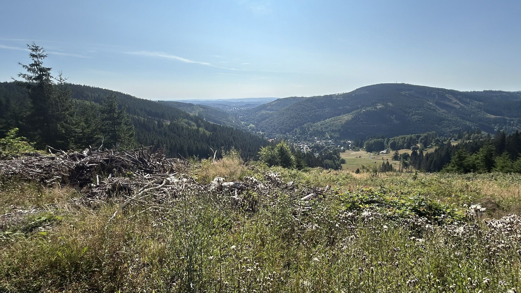


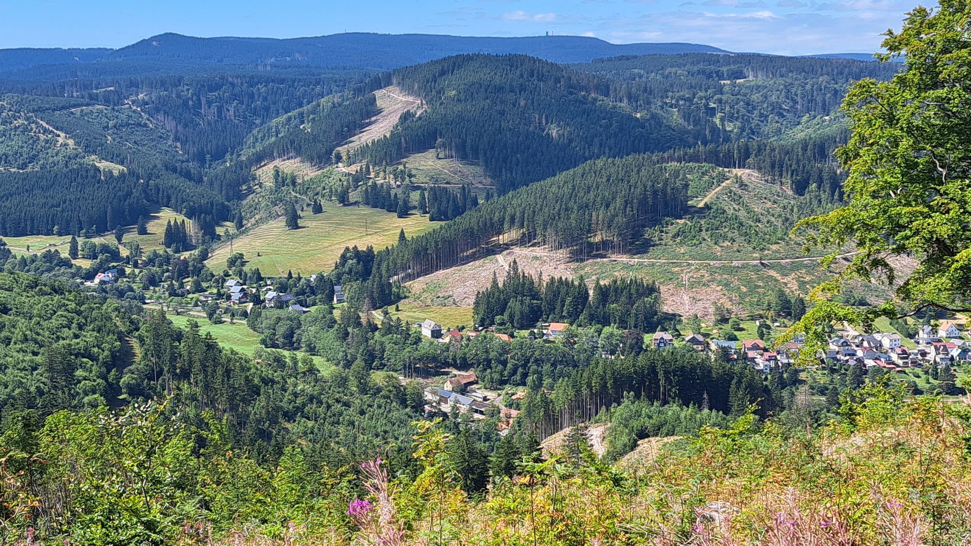
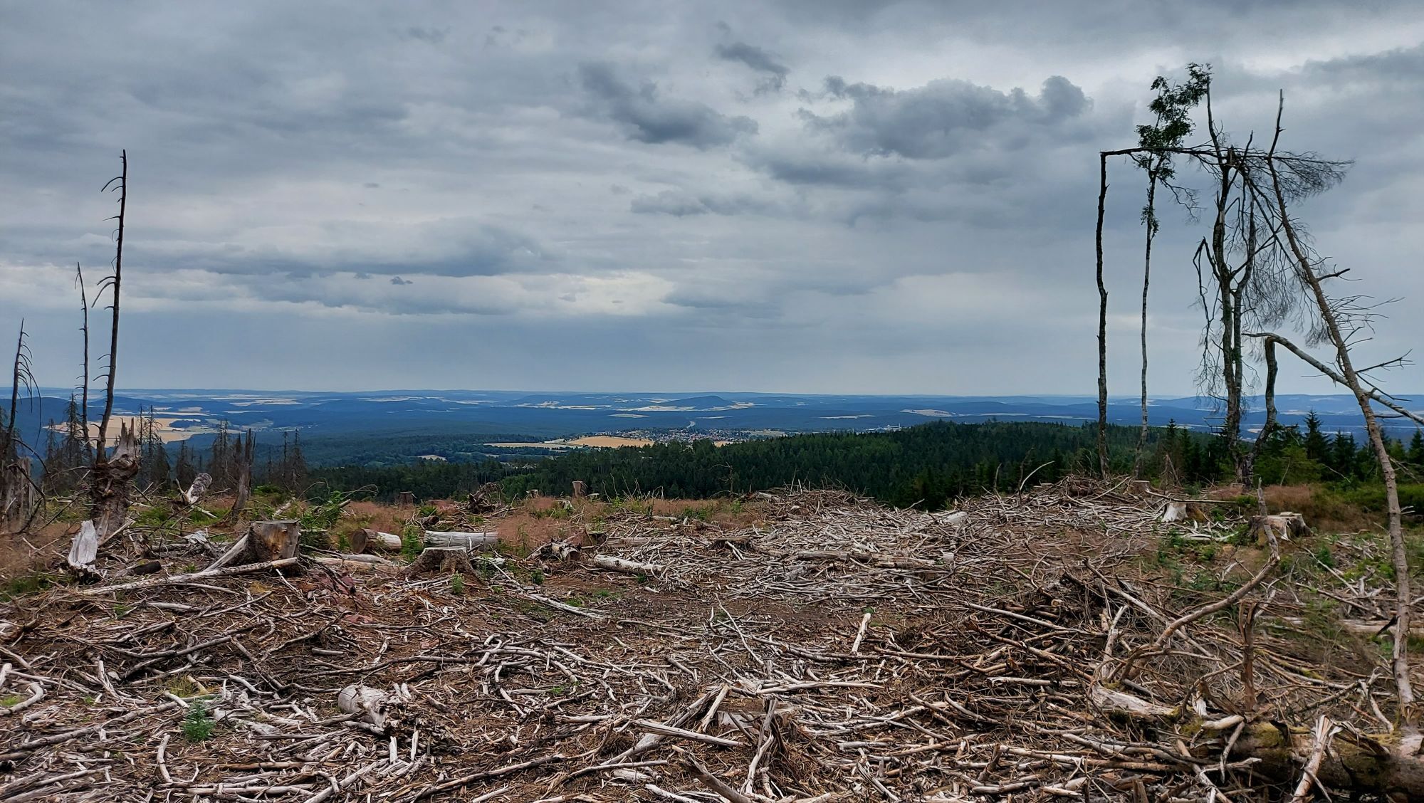
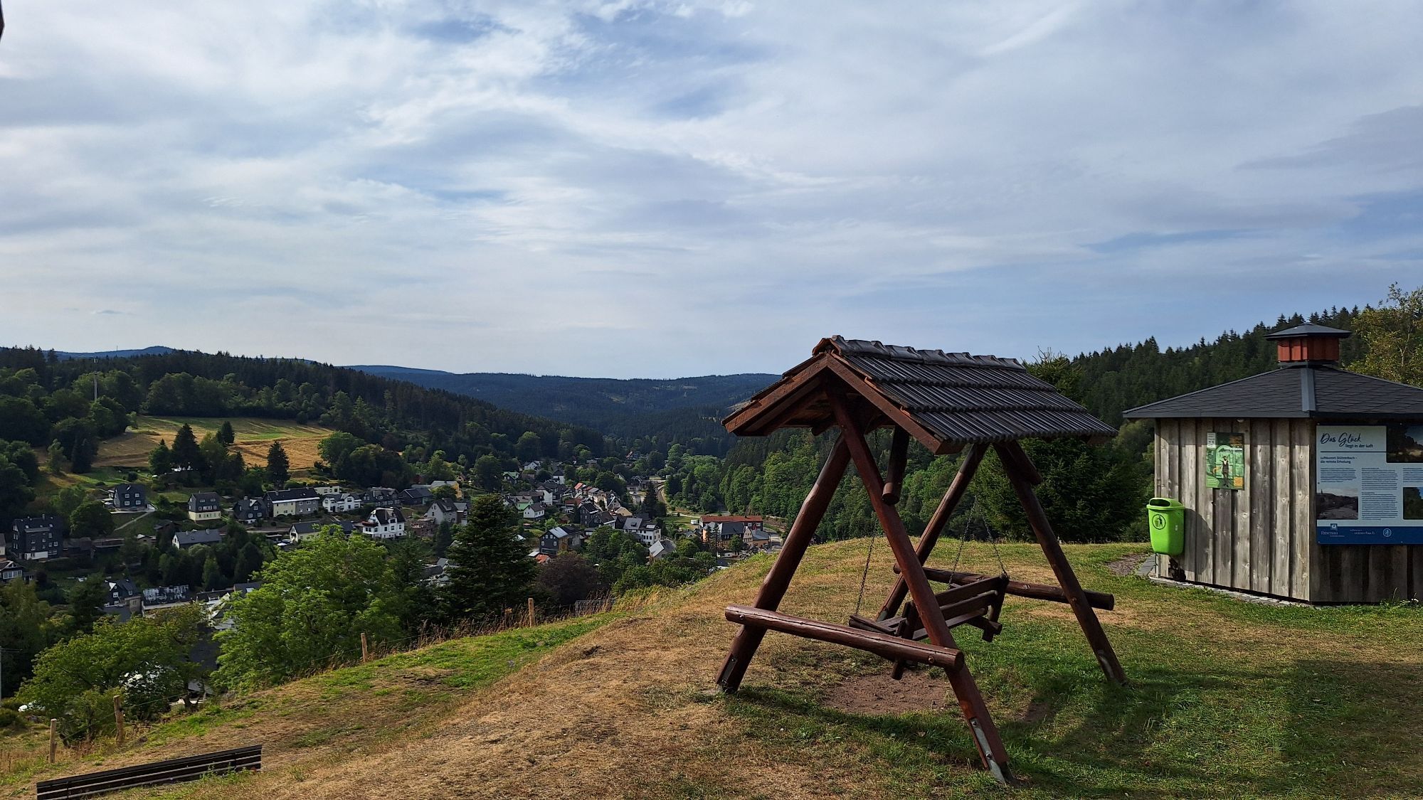
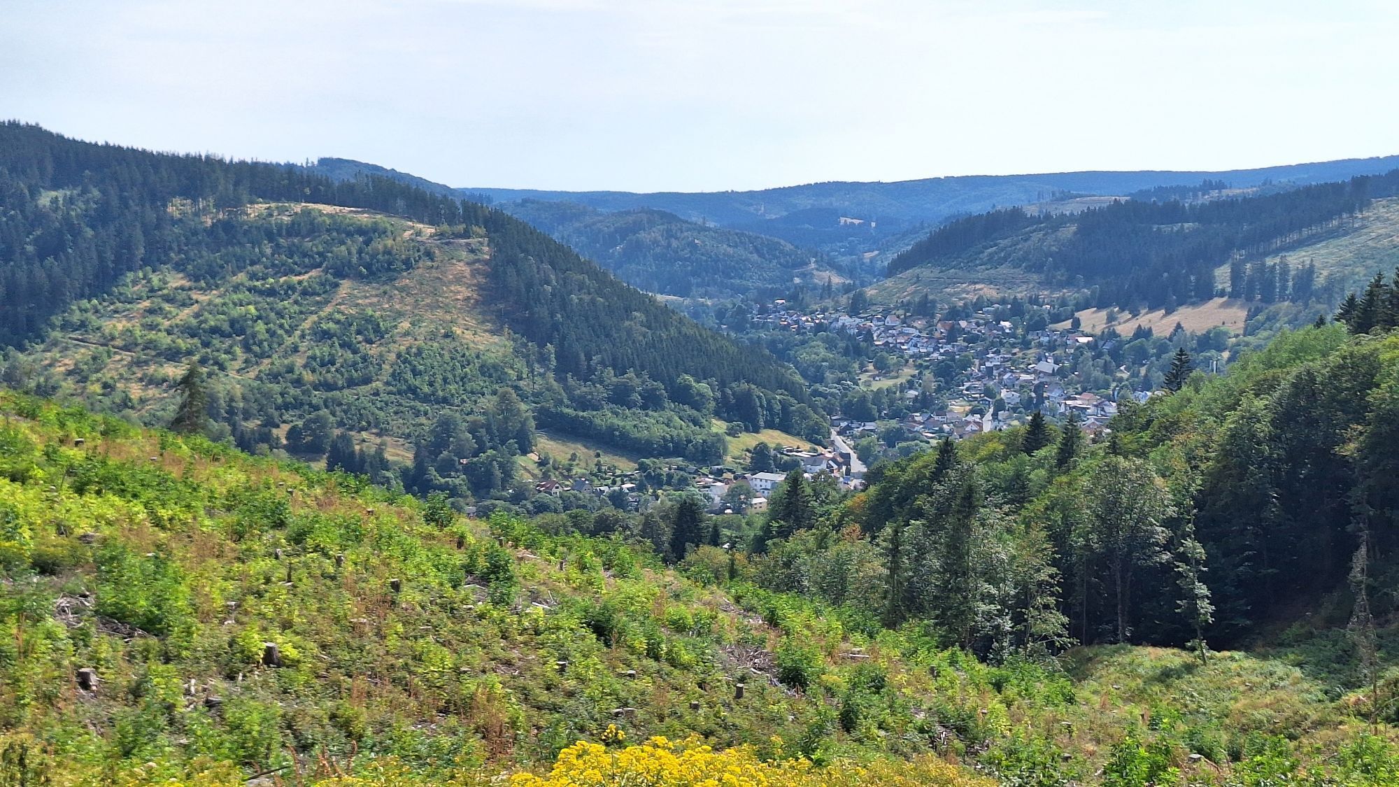
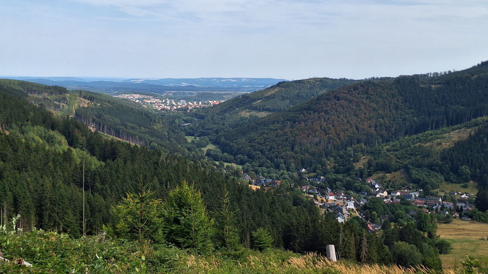
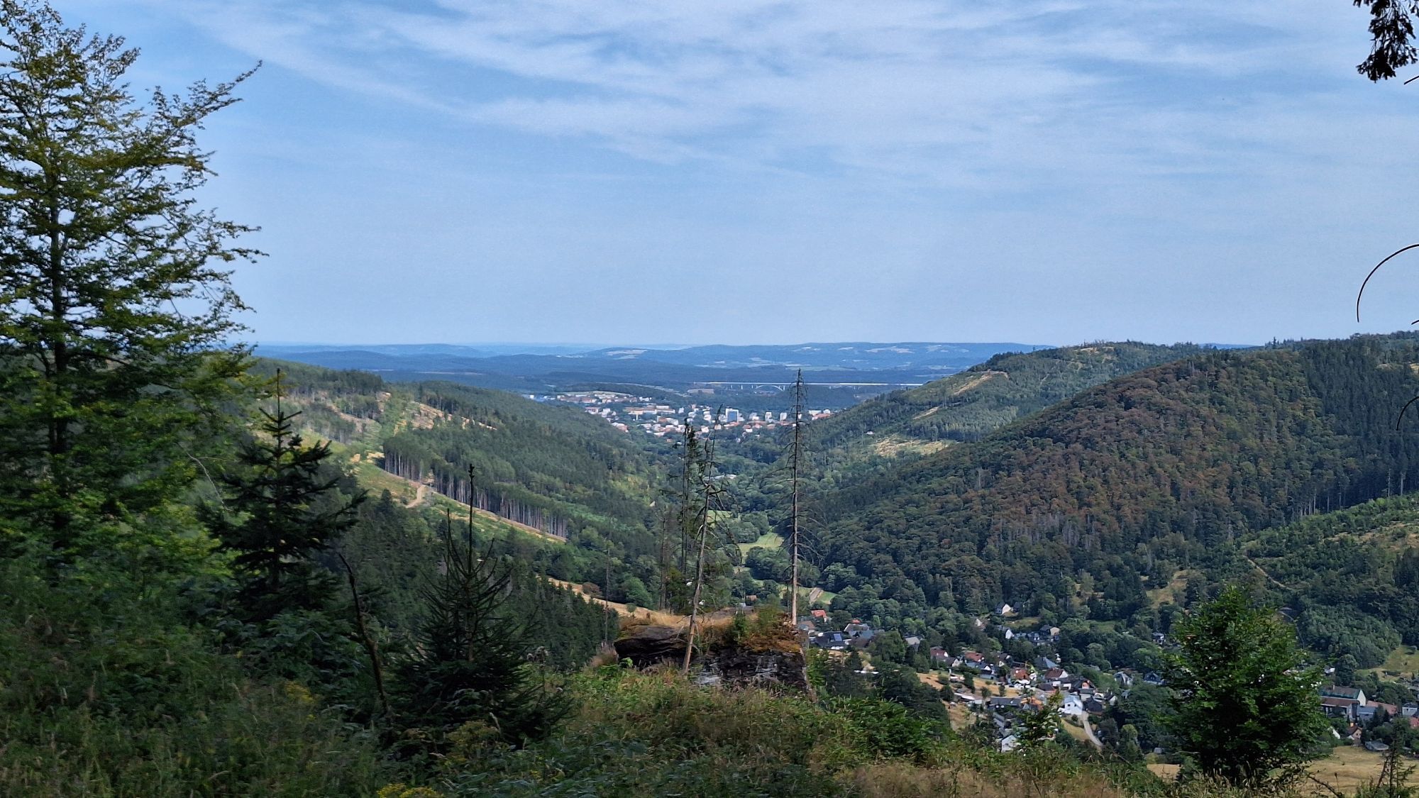

In the spirit of Johann Wolfgang von Goethe "Only where you have been on foot, you have truly been", the 20 km long Goethe hiking trail between Ilmenau and Stützerbach invites you. Its great appeal lies...
In the spirit of Johann Wolfgang von Goethe "Only where you have been on foot, you have truly been", the 20 km long Goethe hiking trail between Ilmenau and Stützerbach invites you. Its great appeal lies in the active experience of culture and nature. The Goethe hiking trail was the first path in Thuringia to receive the certificate "Quality Trail Walkable Germany" in 2005.
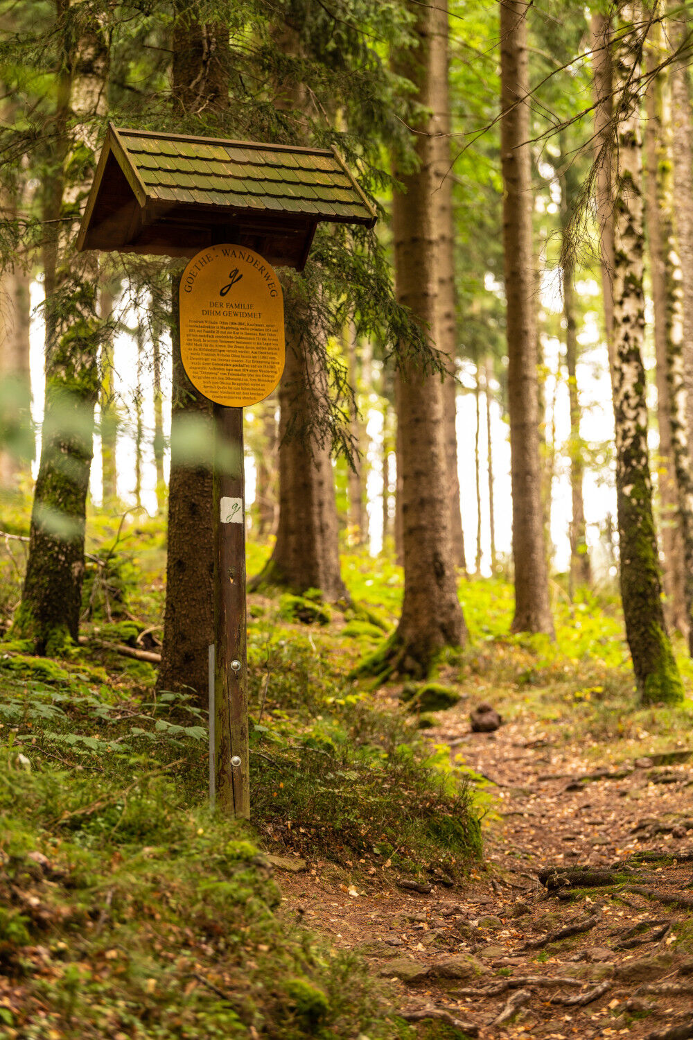
It is marked by the "G", Goethe’s name initial, and connects the places Goethe worked.
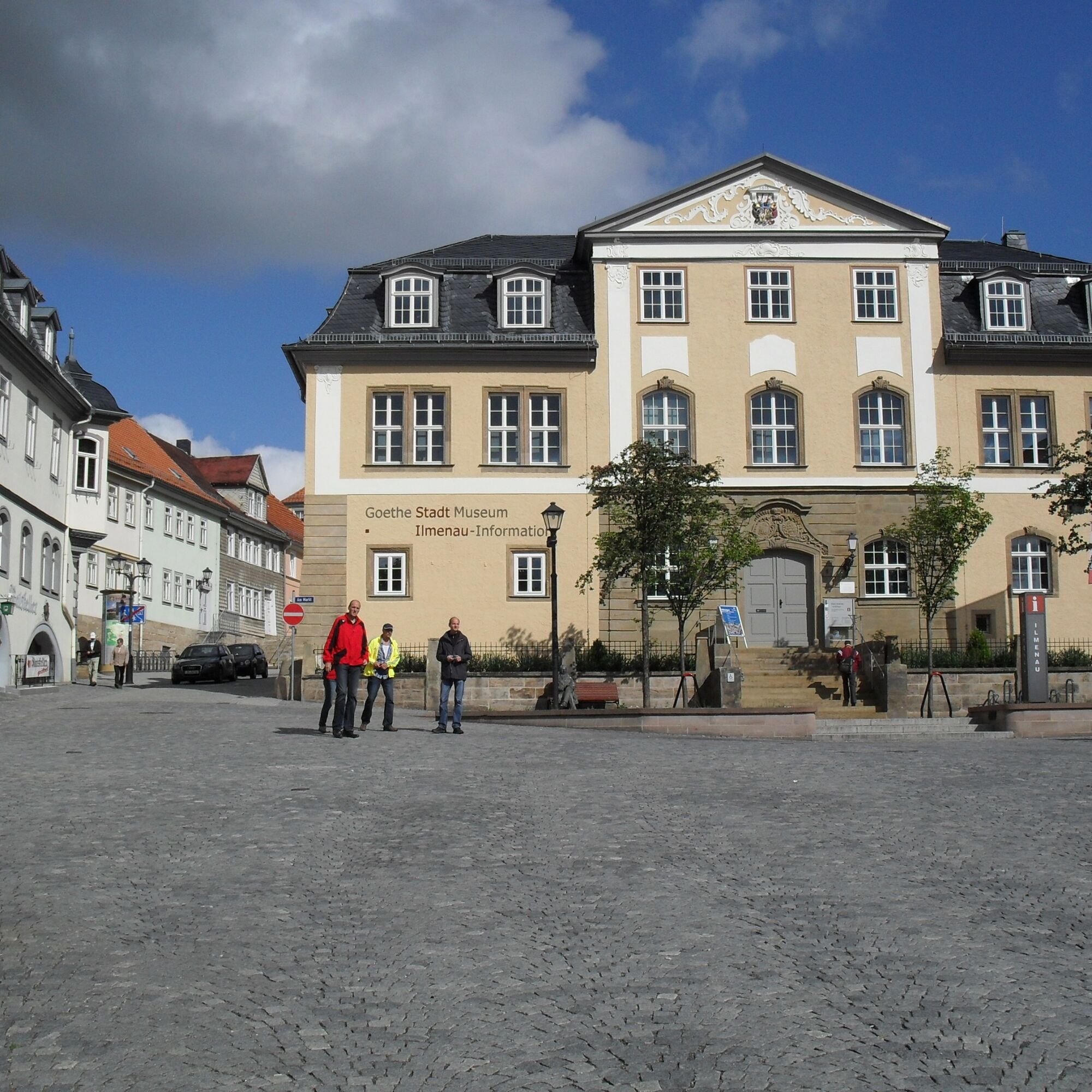
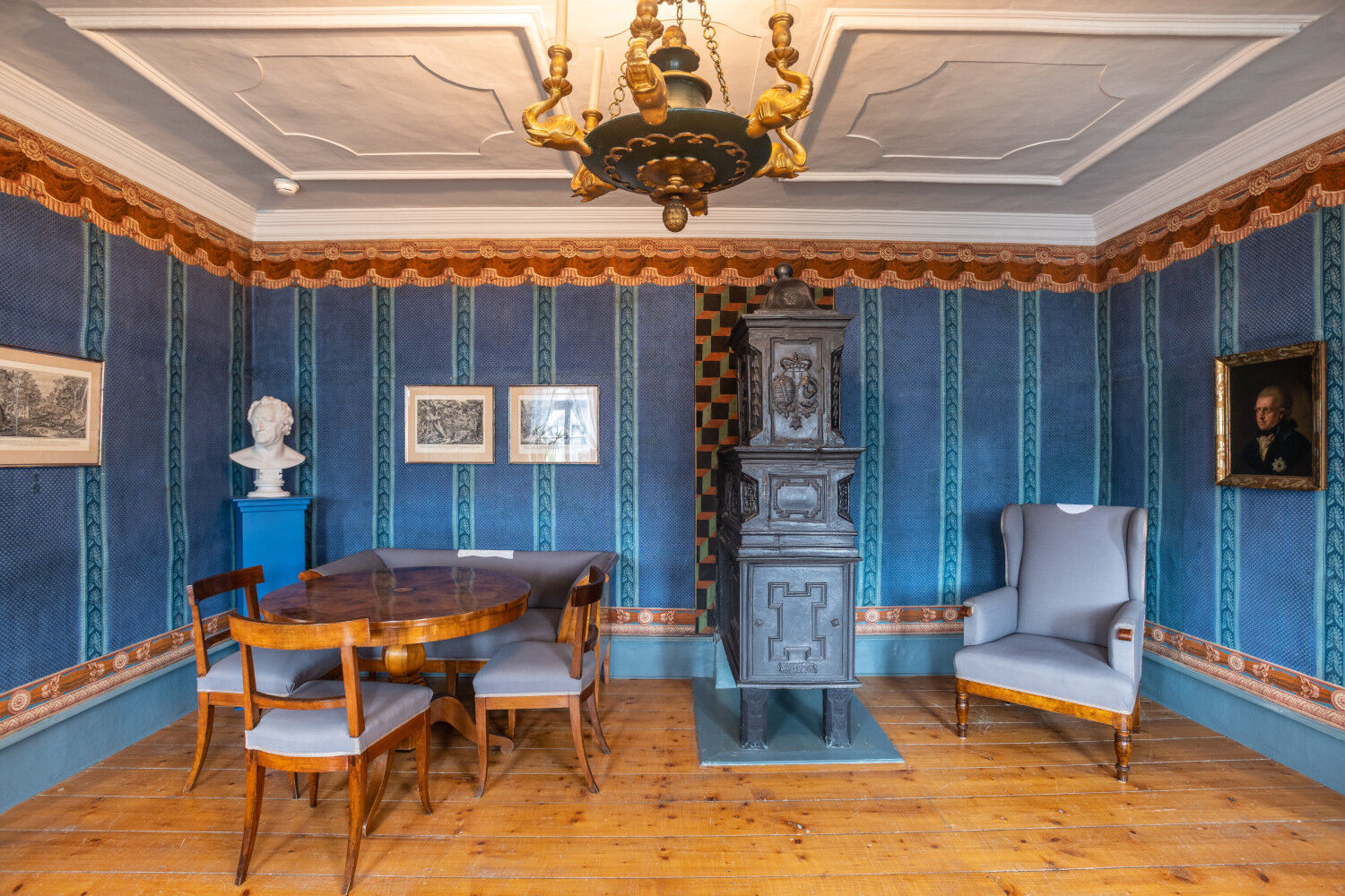
The Goethe hiking trail begins at the Amtshaus at the market in Ilmenau. In 1616, Countess Sophie of Henneberg had it built as a widow’s residence. After the city fire in 1752, the building was rebuilt according to plans by Baroque architect Gottfried Heinrich Krohne, with office rooms for the bailiff and living quarters for the ducal family. Today, the Amtshaus houses the Ilmenau information office as well as the Goethe City Museum.
Through Obertorstraße you reach the cemetery. The route leads through the upper old town past the mining house along the Middle and Upper Berggrabenweg. From the path to Bertha’s spring and Schwalbenstein, enchanting views open up into the Manebach valley.
Past the Schöffenhaus, you pass via the Heidelberg, the Marian spring, and Emmasstein. Downhill you reach Manebach to the cantor’s house.
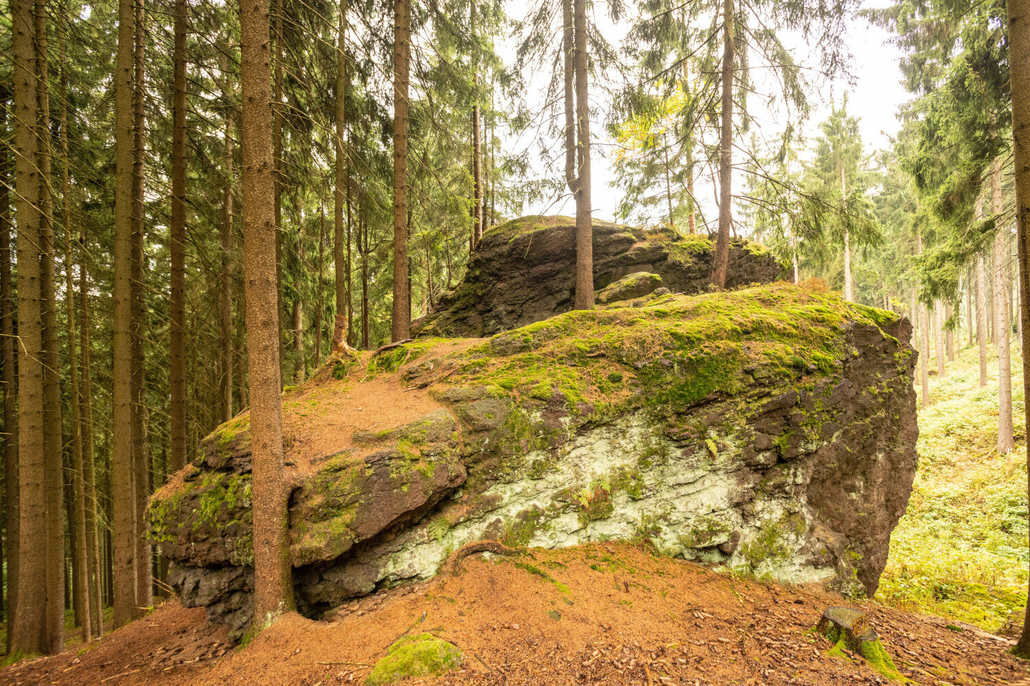
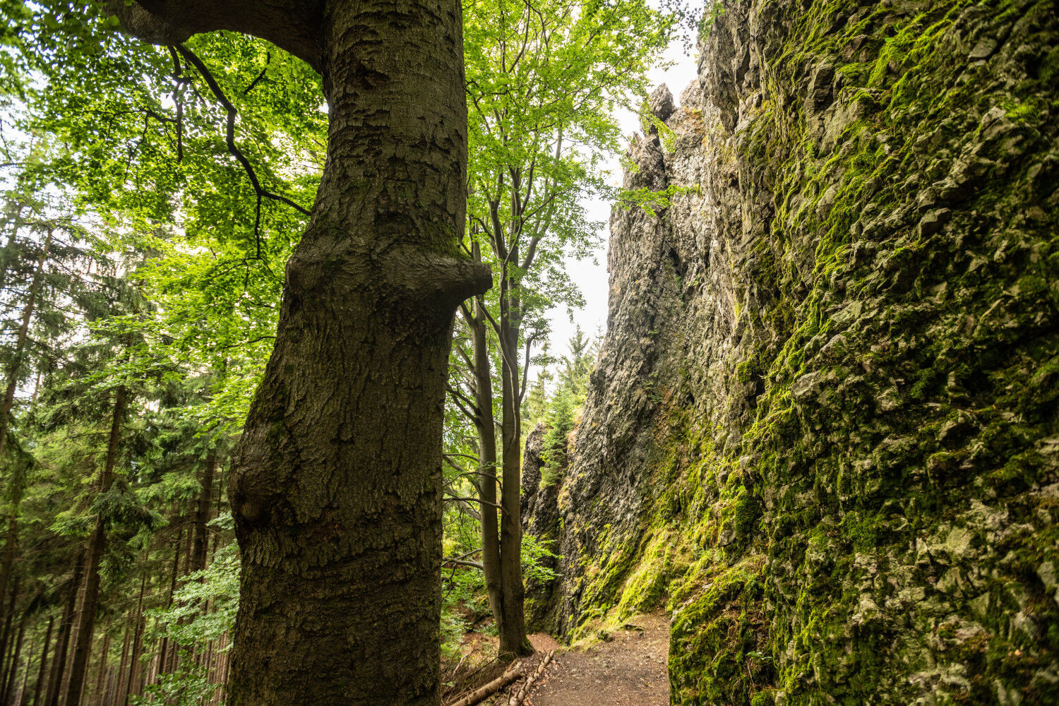
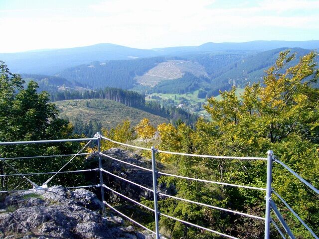
In Manebach the Ilm valley is crossed and on the opposite Kammerberg the ascent begins to Helenenruhe and the Great Hermannstein passing by the Sophie spring. This section is the steepest of the hike and rewards with a breathtaking view from the rock.
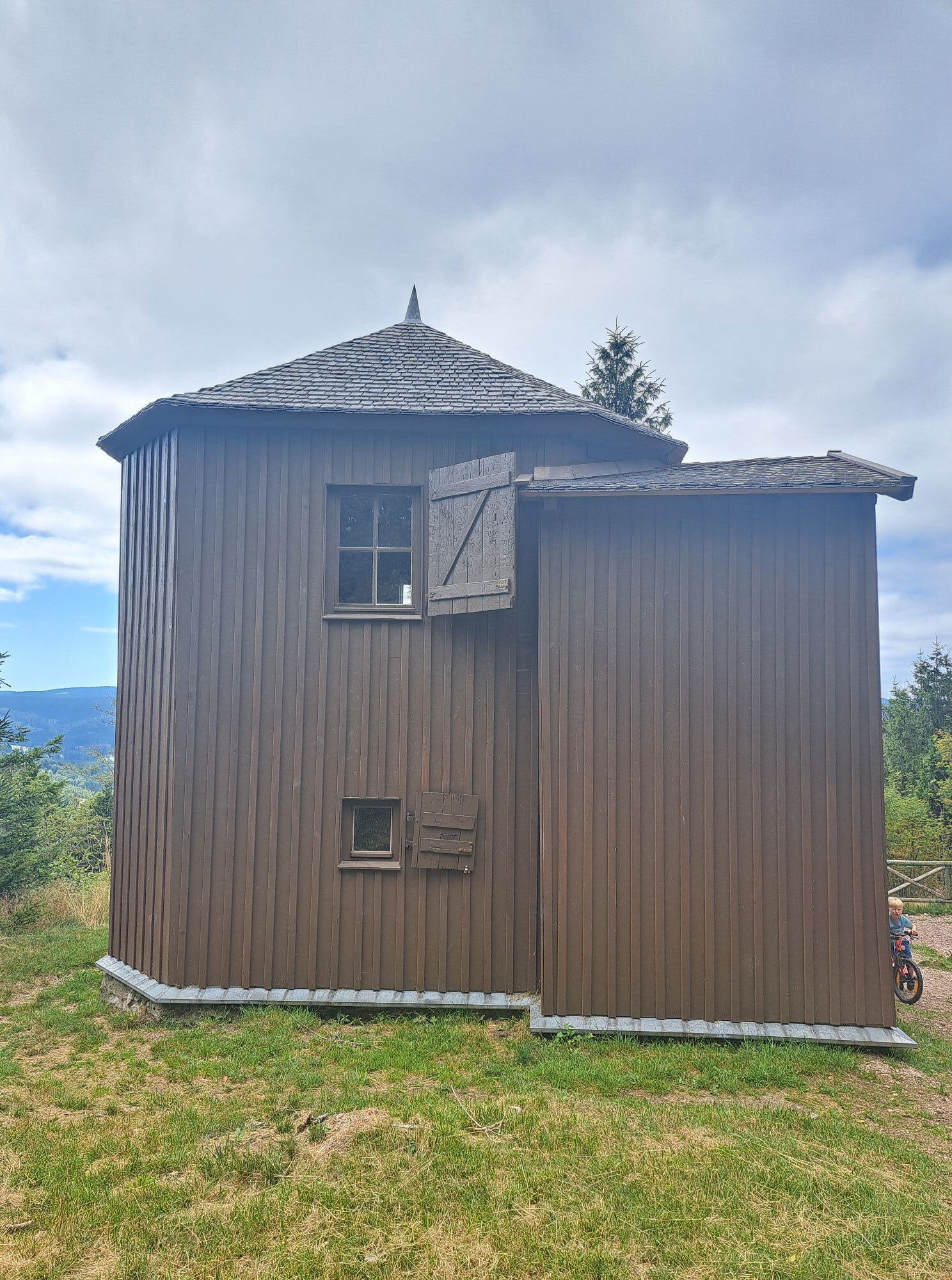
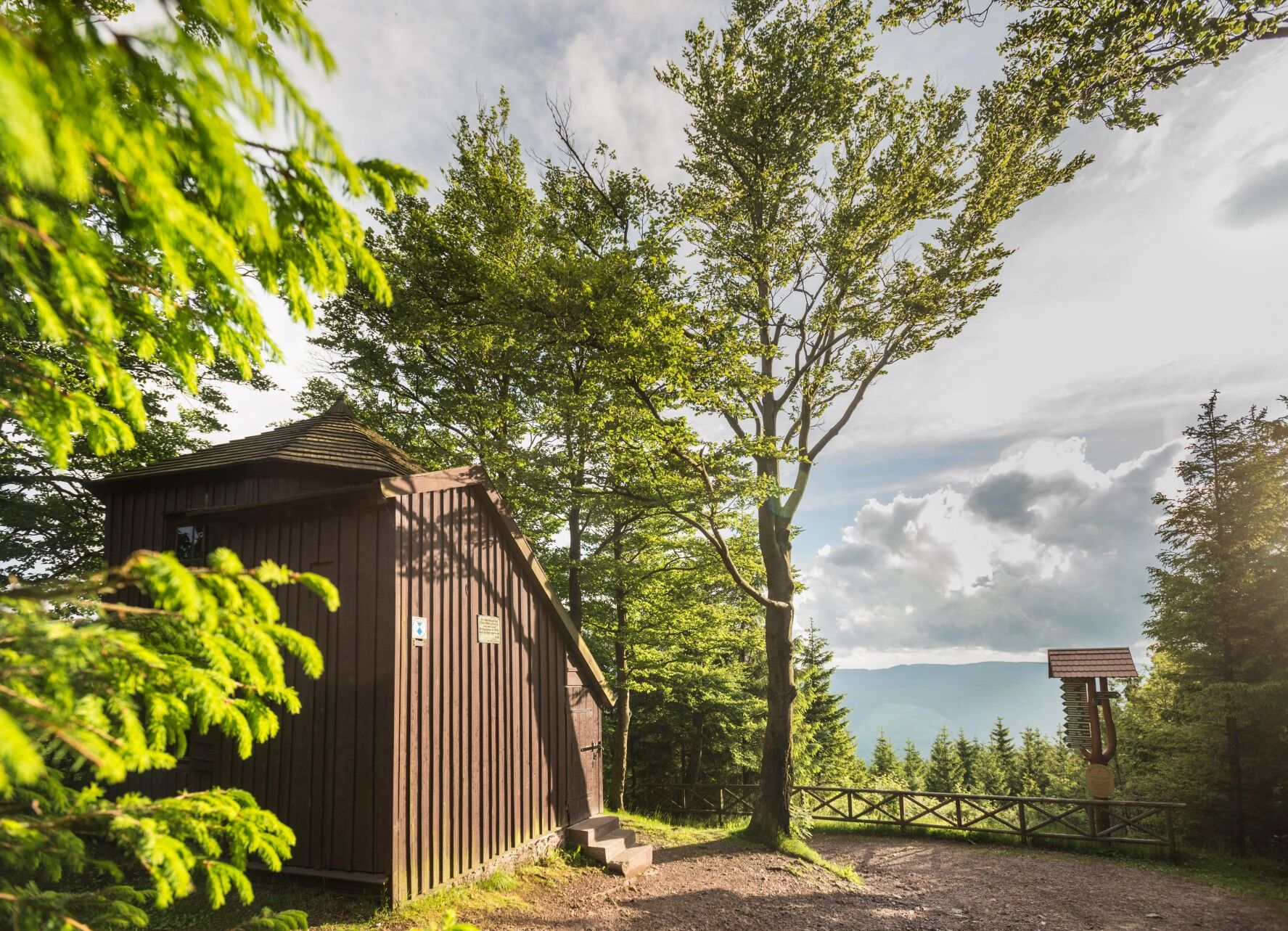
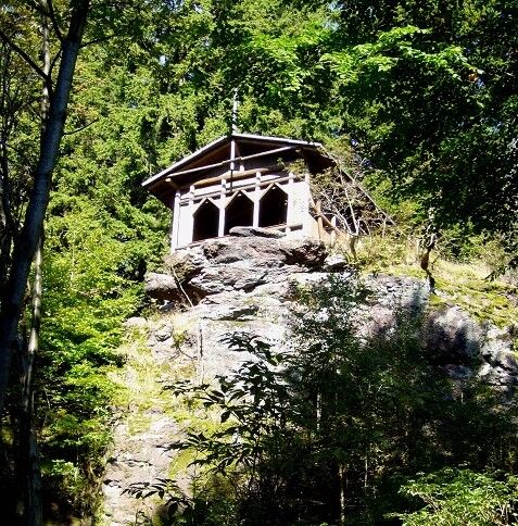
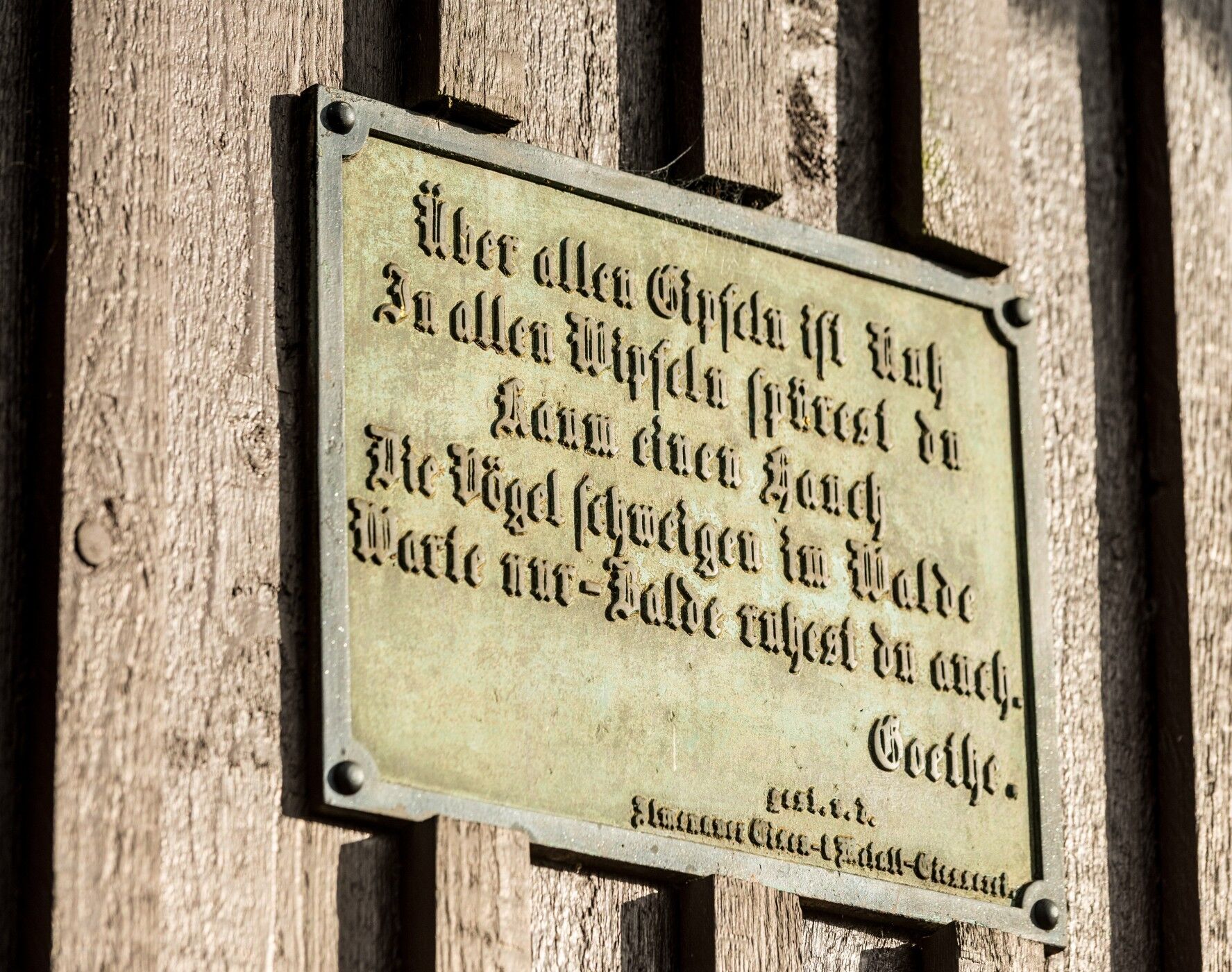
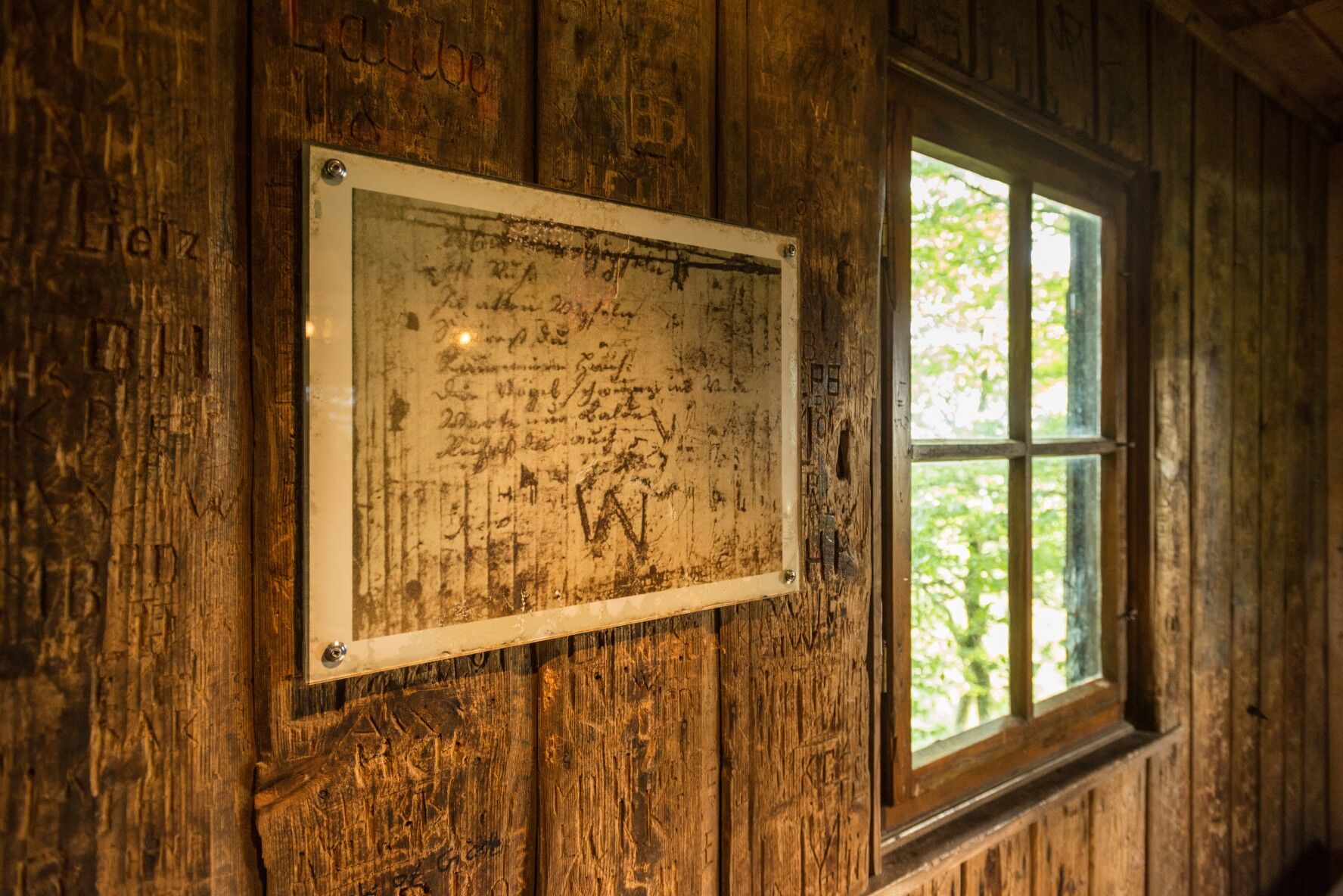
At 861 m, you reach the highest point of the hike: The Goethehütte. On September 6, 1780, Goethe wrote on the inner wooden wall of this then hunting cabin one of his most beautiful poems - Wanderer's Nightsong (Ein Gleiches; first edition by Cotta 1815):
Over all the peaks is peace, in all the treetops you hardly feel a breath; the little birds are silent in the woods. Just wait – soon you too will rest.
He noted this poem with pencil on the inner wooden wall of a simple hunting hut on Kickelhahn, which he used as a retreat. Only 35 years after its creation did the poet publish these verses in his collected works. The verses can be read in 16 languages in the freely accessible Goethehütte.
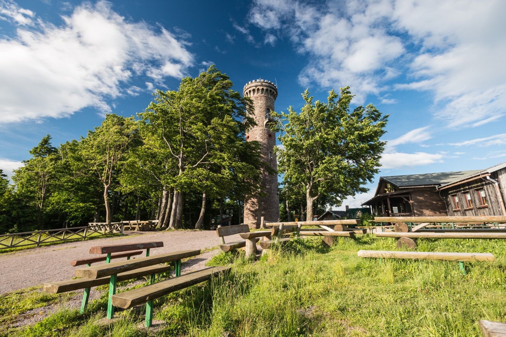
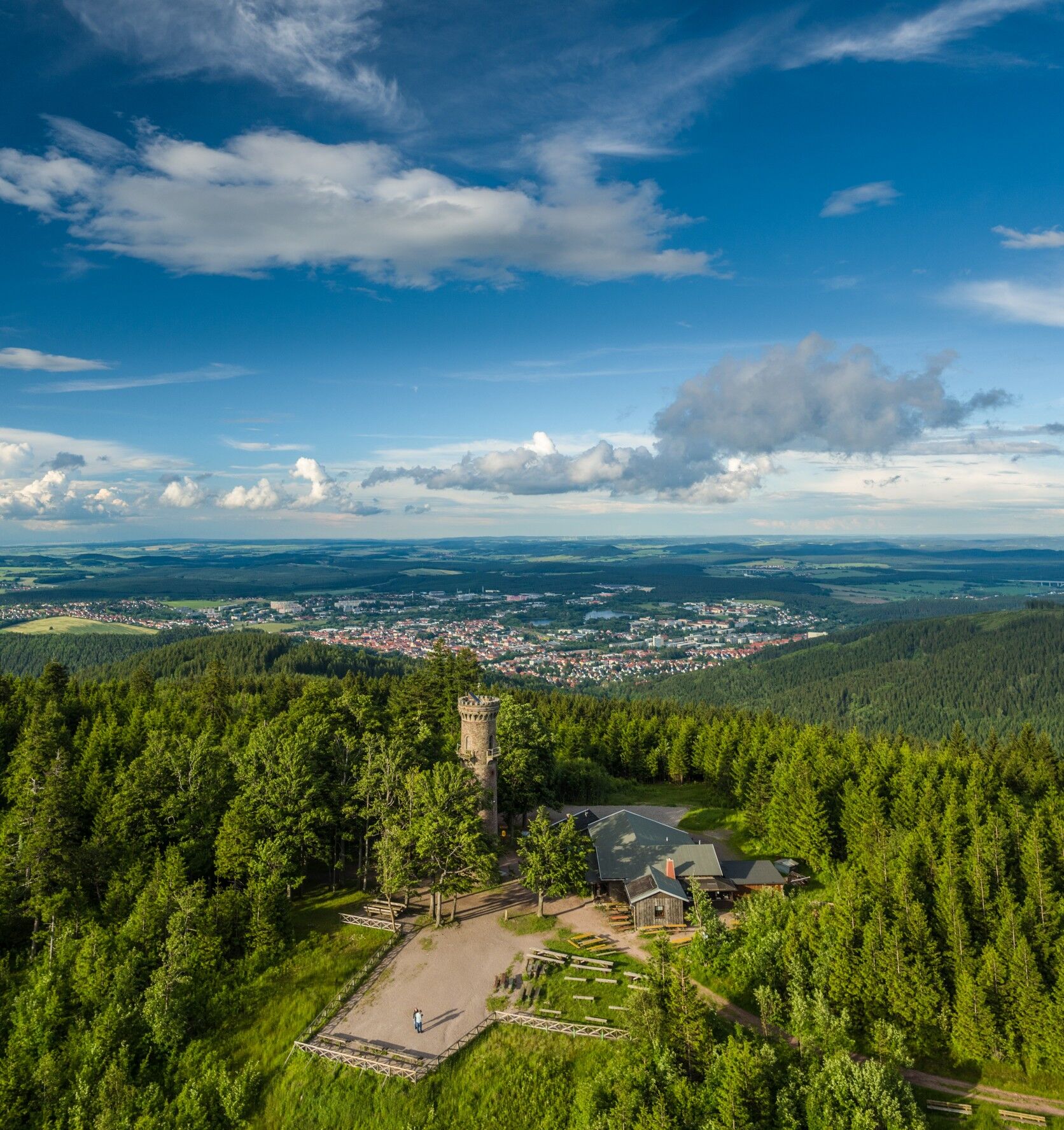
After that, you reach the Kickelhahn Tower. The climb up 107 steps to the 21 m high tower is rewarded by a breathtaking view over the Thuringian Forest and the foreland. Even Goethe appreciated the beauty of the mountain and often stayed there. The tower, however, was only built in 1855.
Downhill, you arrive at the Museum Hunting Lodge Gabelbach. It is a simple, late baroque functional building built hastily in summer 1783 to serve as a guesthouse for Duke Carl August of Saxe-Weimar-Eisenach and his hunting party. Today’s museum offers insight into hunting habits, social life at the Weimar court, as well as Goethe’s scientific studies. Further downhill, you will reach the Mountain and Hunting Hotel Gabelbach, one of the most beautiful and finest houses in the Thuringian Forest.
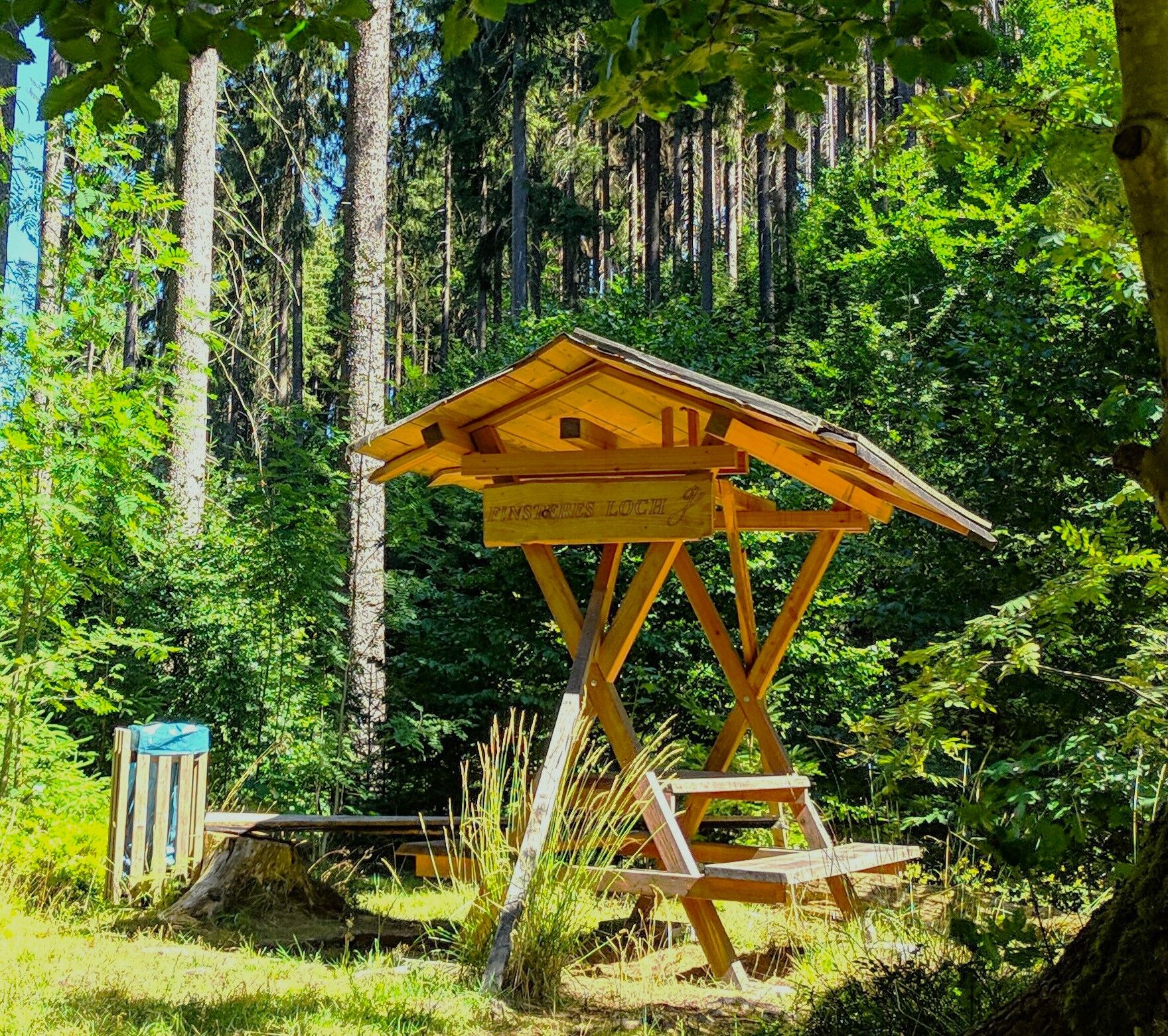
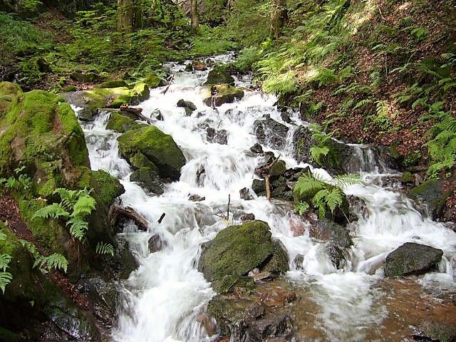
After the Shepherd’s Meadow, the path leads over the country road down to Neustadt into the picturesque Schortetal valley to the Knöpfelstaler pond with shelter hut and to the Dark Hole with a small waterfall.
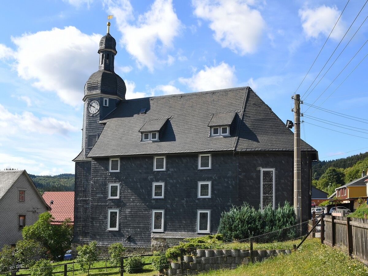
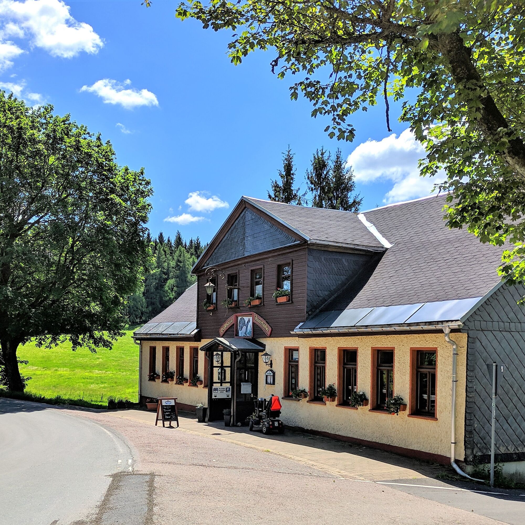
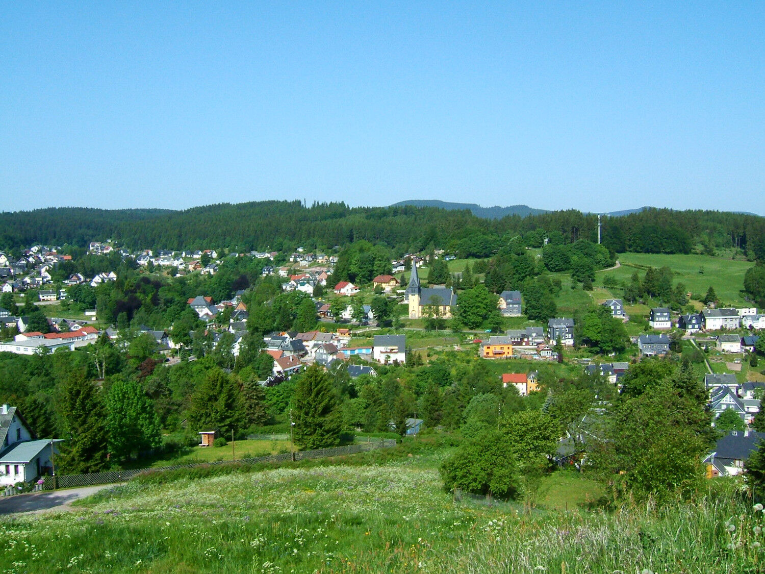
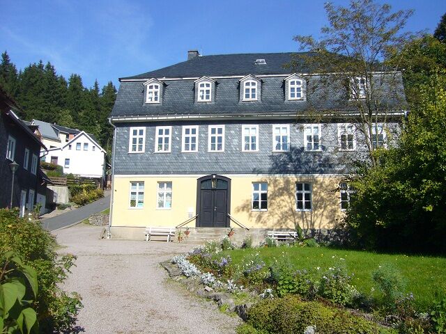
Uphill, after about 20 minutes, you reach the historic inn "Auerhahn". It was named after the capercaillie (Auerhahn), which once used to be native as the largest forest grouse in our woods, as well as probably the Kickelhahn. From the hiking parking lot, you reach downhill Stützerbach with the Schlossberg and the Gundelach House, which houses the Museum Goethehaus Stützerbach.

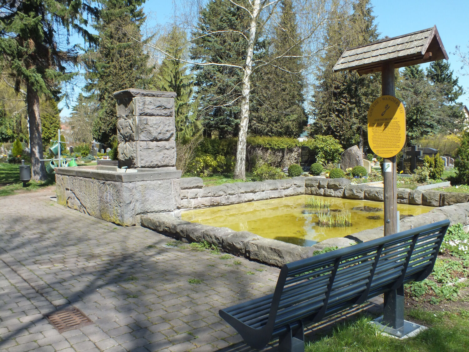
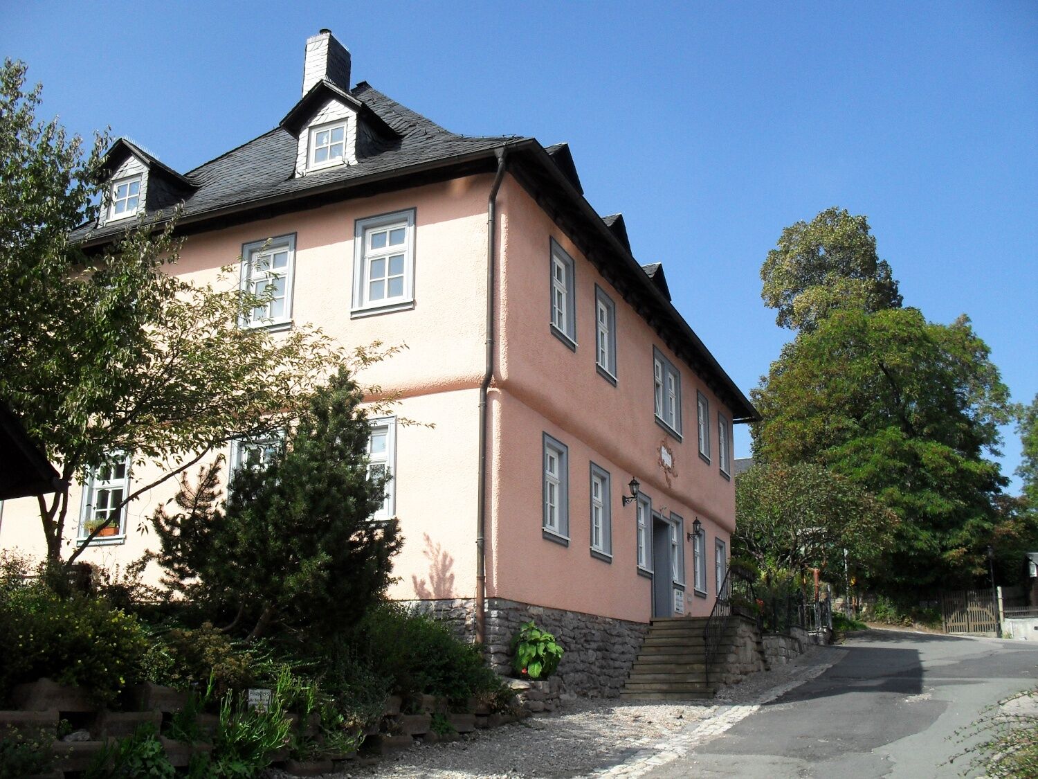
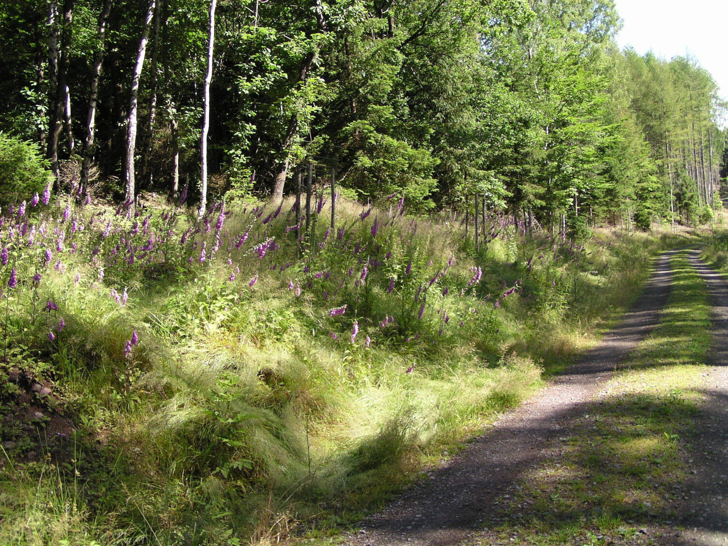
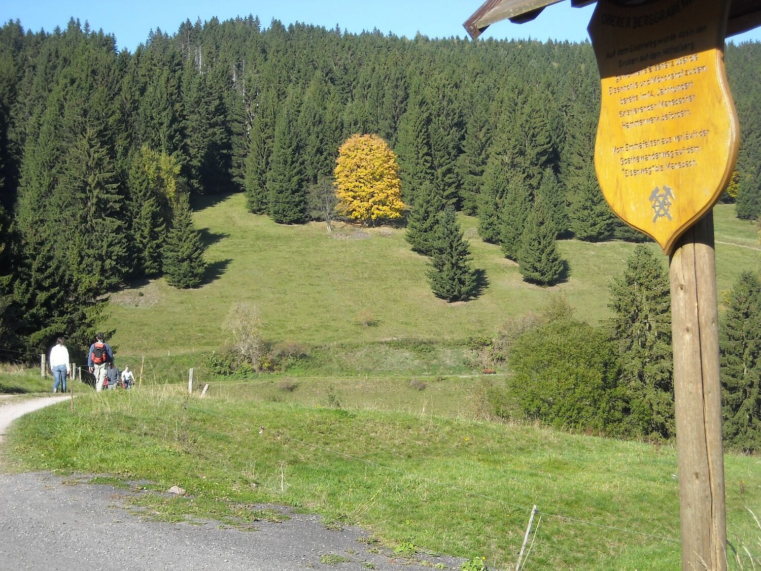
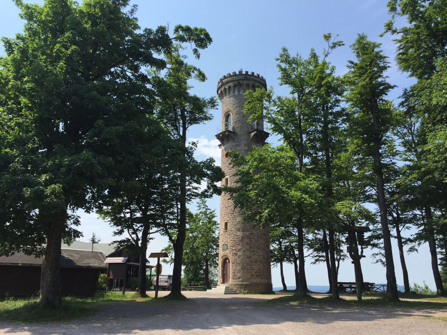
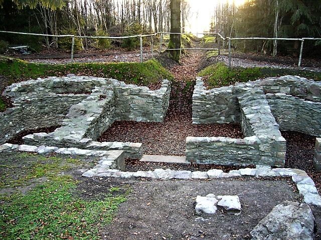
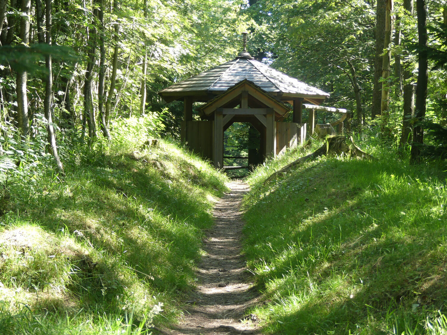
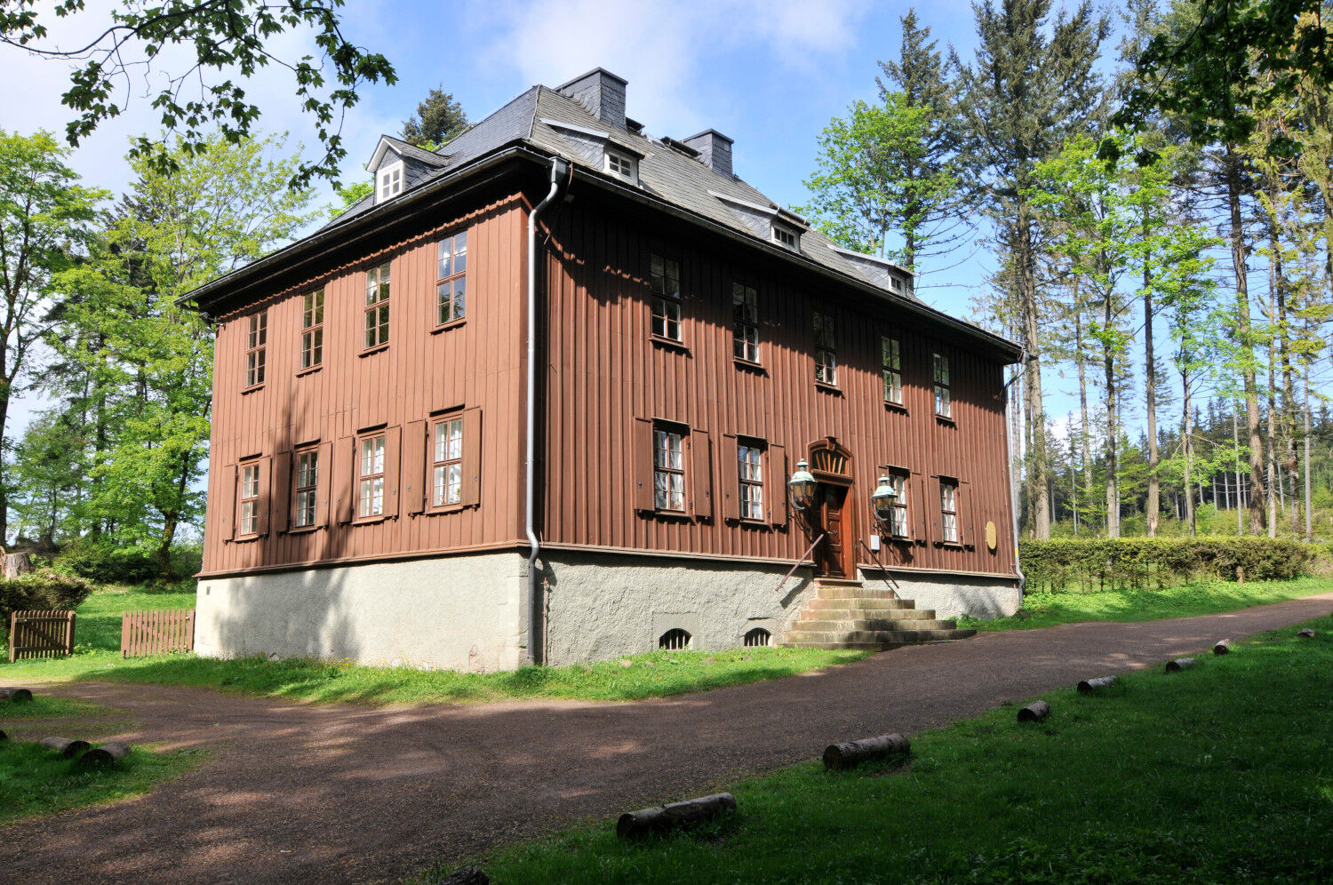
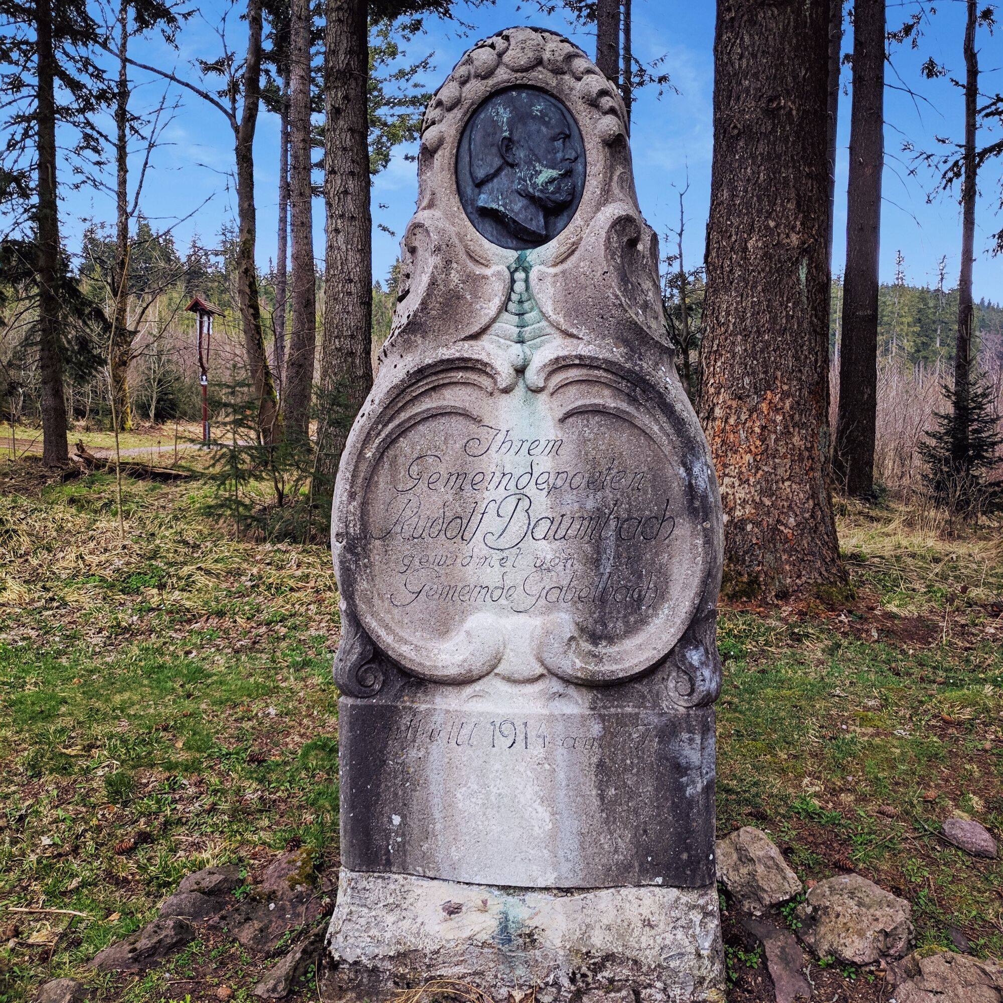
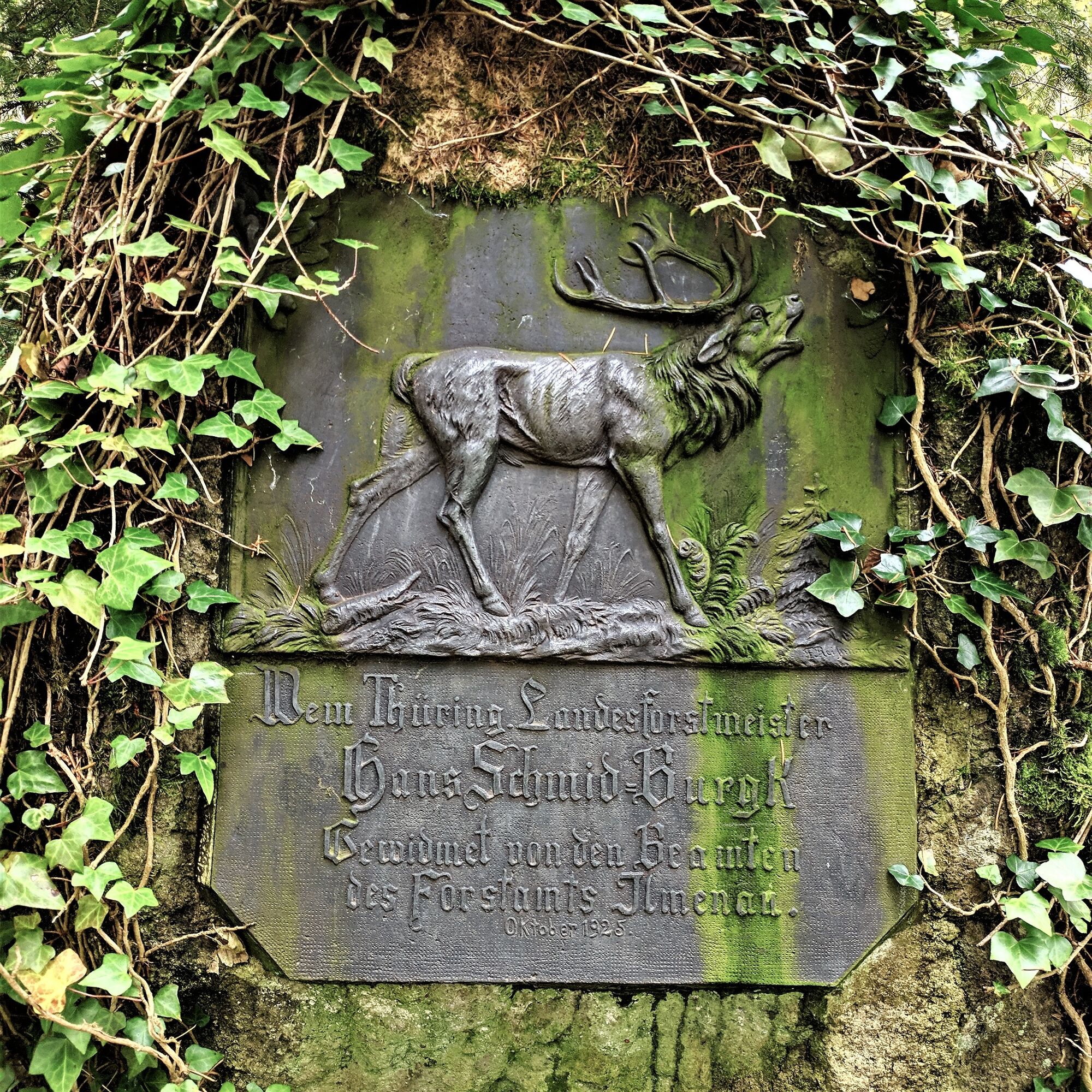
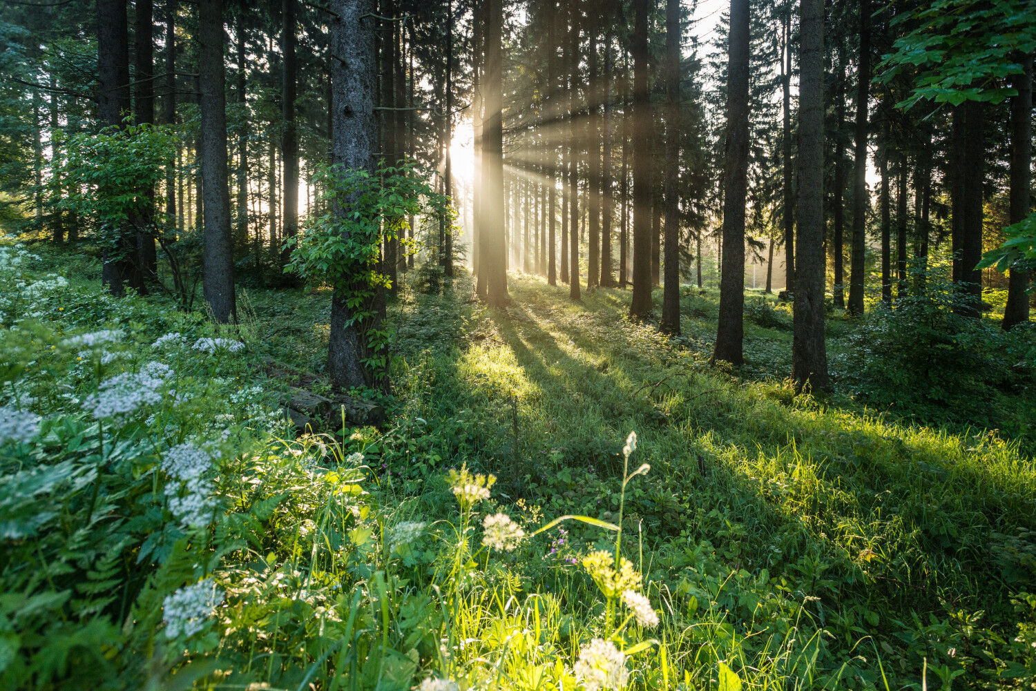
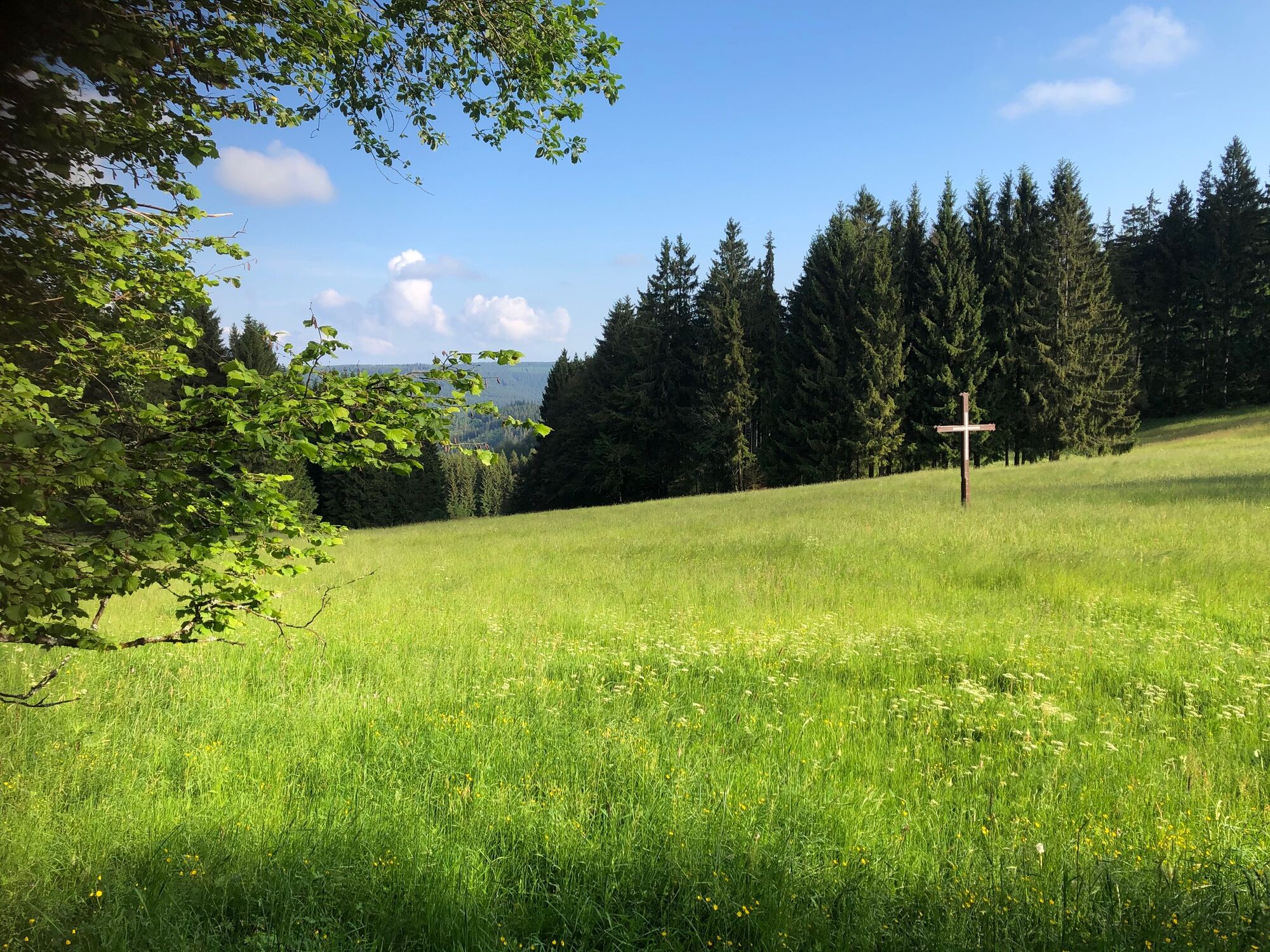

Ilmenau (Market) - Upper Berggrabenweg - Schwalbenstein - Schöffenhaus - Emmastein - Manebach - Great Hermannstein - Goethehütte - Kickelhahn - Museum Hunting Lodge Gabelbach - Mountain Hotel Gabelbach - Knöpfelstaler Pond - Auerhahn Inn - Goethe Museum Stützerbach
Trekking equipment, rainwear, first aid kit, GPS device
Sturdy footwear and a drink supply are recommended.
Coming from the A71, exit 16 (Ilmenau-West) and continue on L3004 towards Ilmenau.
You can reach Ilmenau by trains of the Deutsche and Erfurt Railways. On weekends and public holidays, the RennsteigShuttle also runs from there via Manebach - Stützerbach to Rennsteig station.
For detailed travel information, please use the Deutsche Bahn travel portal and freely change your departure point.
Return to Ilmenau:
On weekends and holidays use the RennsteigShuttle directly at Stützerbach. Alternatively, the IOV bus line 300 runs back to Ilmenau. For this information, the Deutsche Bahn travel portal is also available.
Use the parking lots at the market (Google NAV point) - paid parking or the parking areas at the station (where you will also return if using local public transport) (Google NAV point)
T1
Those who do not shy away from the short climb can tackle the 3 km to Rennsteig station in a southerly direction from Stützerbach.
Uzyskaj wgląd
Zawsze na żywo z ponad 9 500 kamer internetowych. bergfex Jako użytkownik Pro, możesz teraz zobaczyć odpowiednie kamery internetowe dla wielu wycieczek w aplikacji wycieczki od. Pozwala to na bezpośredni podgląd aktualnych warunków.
Popularne wycieczki w okolicy
-
3,0
Circular hike - "4 ponds hike" Neustadt am Rennsteig - Thuringian Forest
ciężkiWędrówka 12,6 km -
4,6
Hike over the Rennsteig & the Schneekopf to the Schmücke
ciężkiWędrówka 21,0 km -
3,8
Rundweg Talsperre
średniJazda na rowerze 14,5 km -
The Rennsteig - long-distance hiking trail from Hörschel to Blankenstein - Thuringian Forest
ciężkidługodystansowy szlak pieszy 169,0 km -
4,0
Zu den Schanzen im Kanzlersgrund
średniWędrówka 9,58 km -
5,0
Rundtour Staudamm
światłoWędrówka 3,91 km -
Circular hiking route - Ruppberg - Thuringian Forest
średniWędrówka 11,4 km -
4,2
Circular hiking route - "Zunft & Kloß" - Zella-Mehlis - Thuringian Forest
ciężkiTrasa tematyczna 6,83 km -
4,0
TOP 5 - circular hiking route - "Forsthaus Sattelbach" - Oberhof
światłoWędrówka 3,67 km -
4,5
Hiking - Rennsteig - Stage 4 - From Grenzadler to Allzunah
ciężkiWędrówka 20,2 km
Wędrówki i tropienie


Nie przegap ofert i inspiracji na następne wakacje
Twój adres e-mail została dodana do listy mailingowej.





