







Gräfentonna (DB) - Rothe Hof-Brunnen

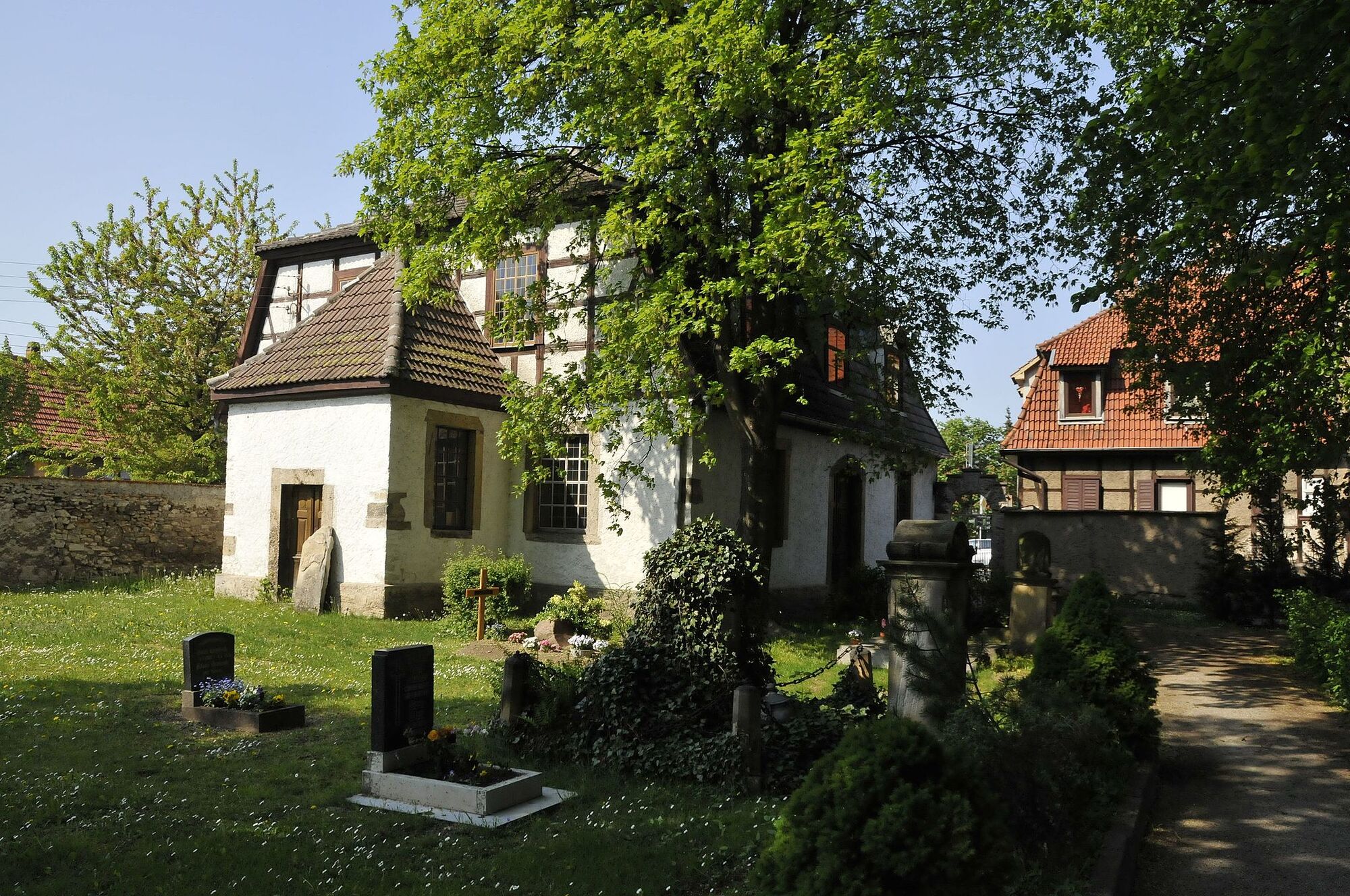
Gräfentonna was once the seat of the Counts of Gleichen and belonged to the Duchy of Gotha. The still standing but forgotten "Kettenburg" can be found in the town center.
From the station or bus station,...
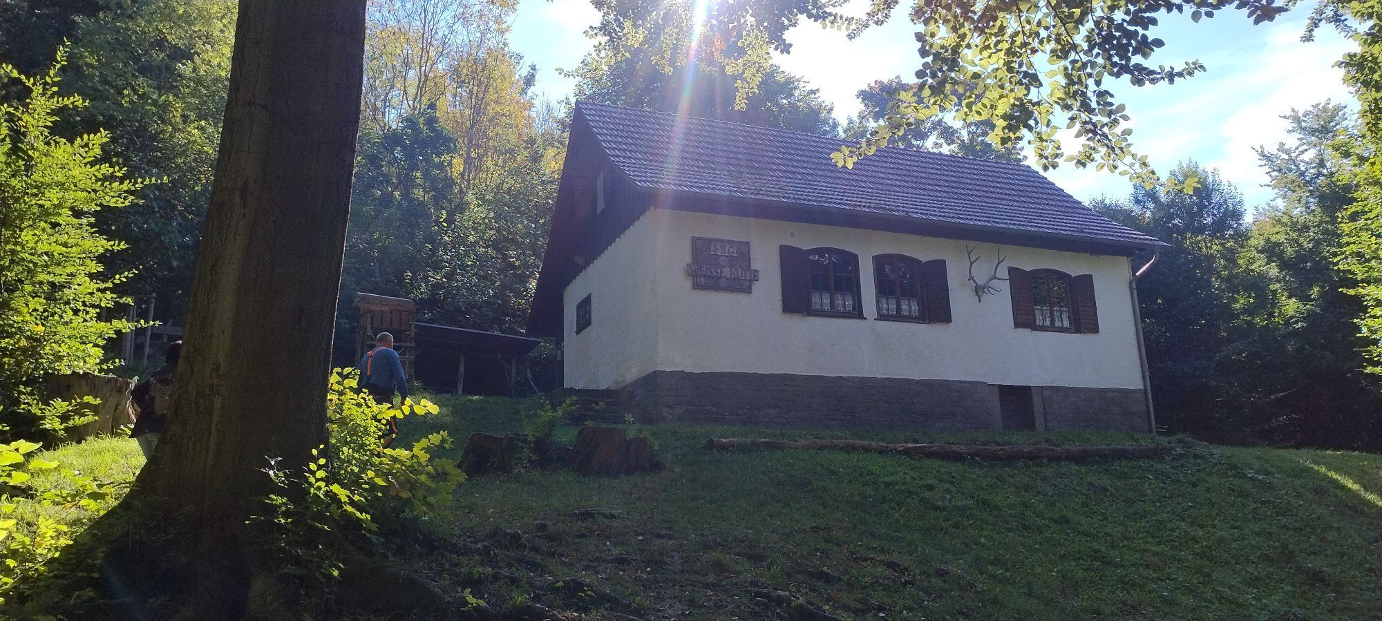
From the station or bus station, you can quickly reach the pheasantry, a small forest area located in the direction of the Fahner Höhe. Crossing the cycle and farm track, the forest boundary is almost reached. The path leads straight to the "Weiße Hütte" and further to the "Rote Hof-Brunnen", the western ridgeway cross of the Fahner heights. There used to be an almost forest-free drift along with a field named possibly after the owner. Even the fountain is puzzling. It was reconstructed and might have once served the three-sided farm.
For travelers, the crossroads Rote-Hof-Brunnen is an important point, pointing in many directions and forming the westernmost ridgeway location. Following the now unpaved ridge further, you reach the "Fixe Idee", a formerly popular excursion restaurant with views to the western Thuringian Forest and even to the Brocken in the Harz.

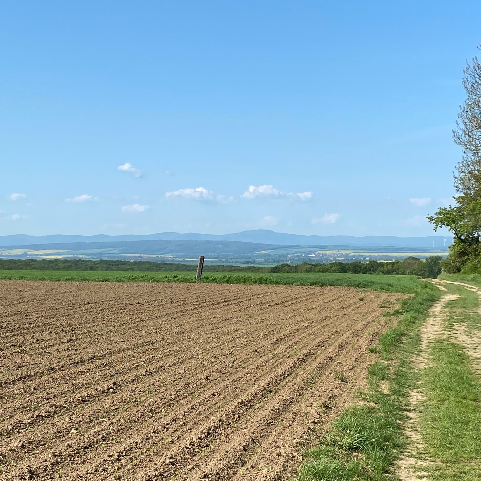

On the way to Eschenbergen, there are also 500m to overcome, to the right side on a meadow to see old bunker facilities. They once served as target areas for bomb drop tests and were merely dummies. A continental fauna has since settled there. The view entices into the distance, where the western silhouette of the Thuringian Forest can be seen.
Popularne wycieczki w okolicy
-
Cycle route "Nessetal cycle path" – From Erfurt to Eisenach
światłoJazda na rowerze 69,0 km -
KulTourStadtBummel w Gotha
średniWędrówka 8,78 km -
Nägelstedt/Unstrut - EF-Nördliche Gera-Aue
ciężkiJazda na rowerze 30,3 km -
Trip: Fahner Mühle - "Alte Chaussee" Kleinfahner
światłoWędrówka 2,26 km -
Rundfahrt entlang der Unstrut….mit Panoramablick über das westliche Thüringer Becken
średniMountainbike 40,4 km -
Rundwanderung: Bienstädt - Bienstädter Warte
średniWędrówka 6,16 km -
Deutsche Fachwerkstraße: Mühlhausen - Bad Langensalza - Mühlhausen
Jazda na rowerze 65,3 km -
FahnerHöhen
Wędrówka 15,1 km -
Kleinfahner/Witterda Touringen
Wędrówka 8,91 km -
Fahner Höhe / Nessetal
średniMountainbike 33,2 km
Wędrówki i tropienie


Nie przegap ofert i inspiracji na następne wakacje
Twój adres e-mail została dodana do listy mailingowej.





