


Circular hiking trail - "Local history hiking trail" - Schönbrunn - Thuringian Forest
Poziom trudności: T2
Your route starts and ends at the hiking parking lot on Gabler Street between the fire station and the Herbstsonne senior home. From here, you walk to the town center and begin with local history by visiting...
Your route starts and ends at the hiking parking lot on Gabler Street between the fire station and the Herbstsonne senior home. From here, you walk to the town center and begin with local history by visiting St. Jacob's Church. To the left past the church is the entrance sign for the local history hiking trail.
! On the local history hiking trail, there are numerous puzzles to solve. Get the puzzle sheet at the Tourist Information or download it from the municipality's website www.schleusegrund.de.
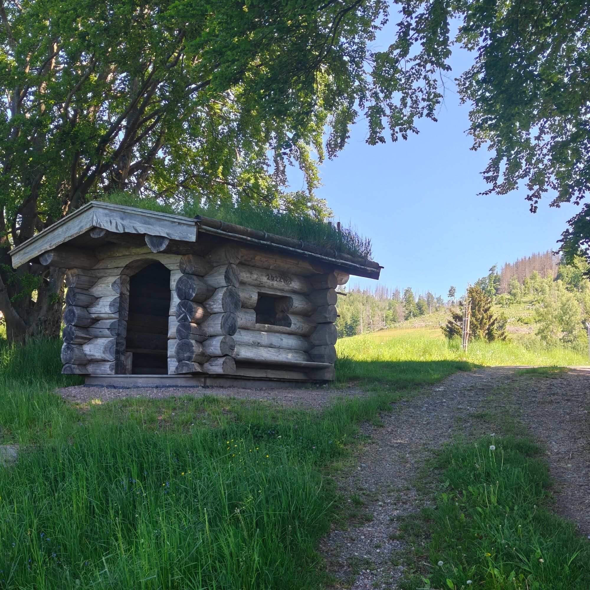
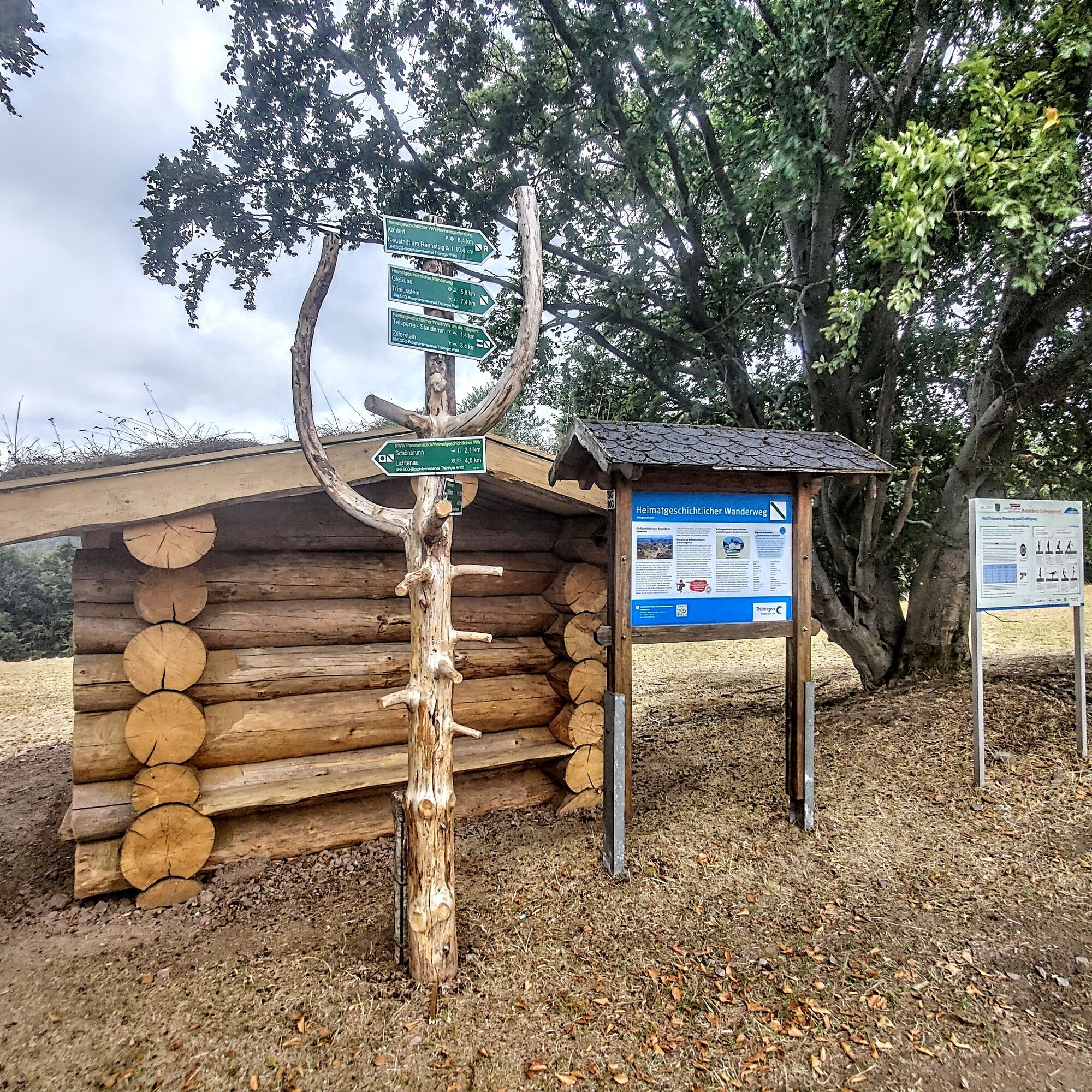
From now on, follow the signs for the local history hiking trail marked with a green diagonal stroke/ hiking figure. The trail goes uphill to the Little Head, where you have many different views of Schönbrunn.
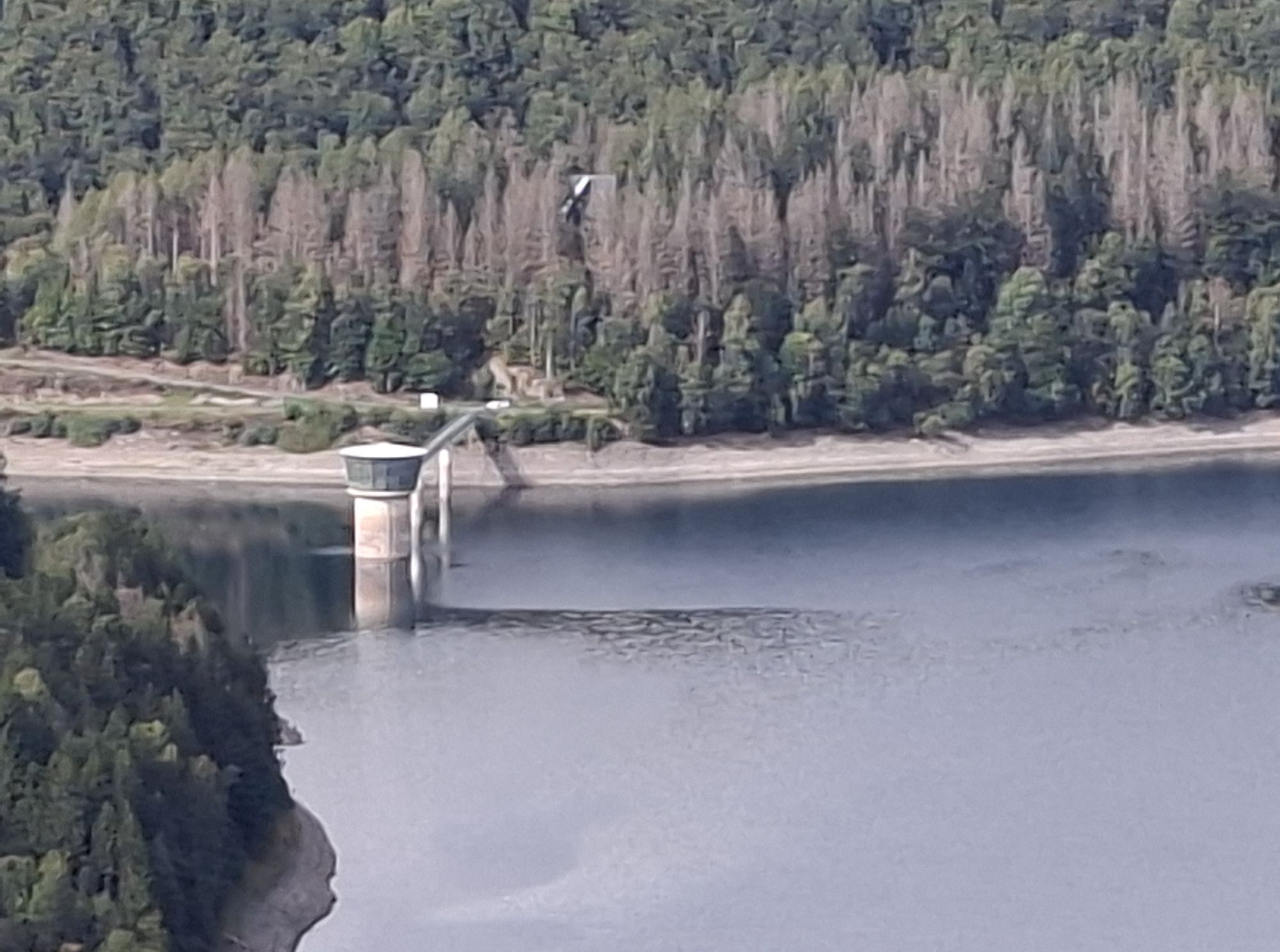
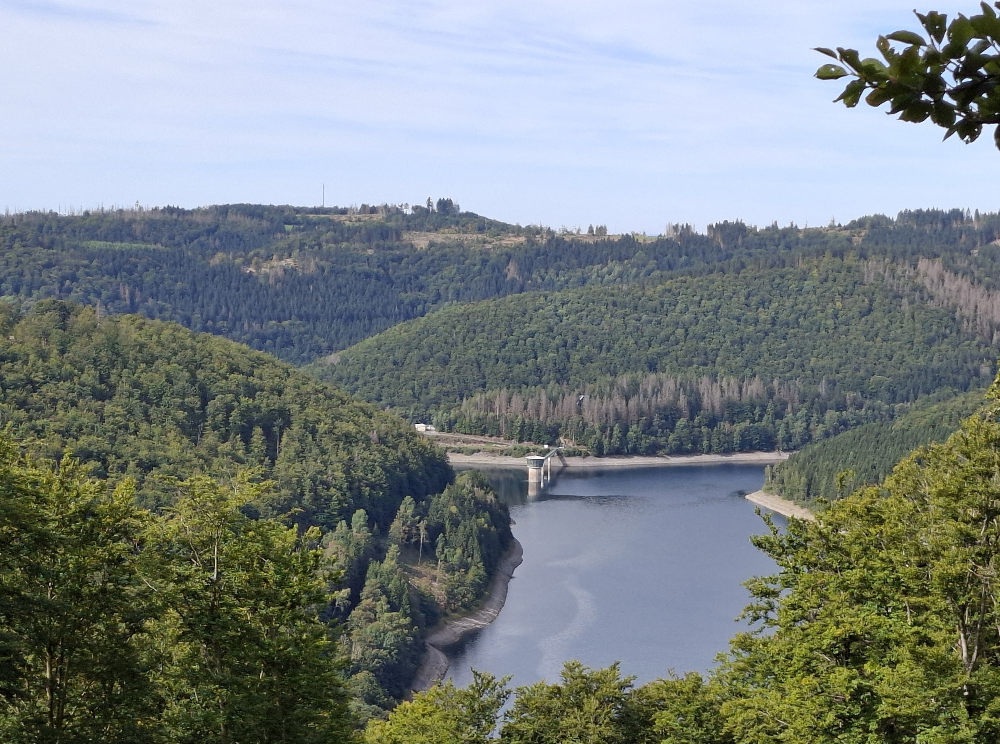
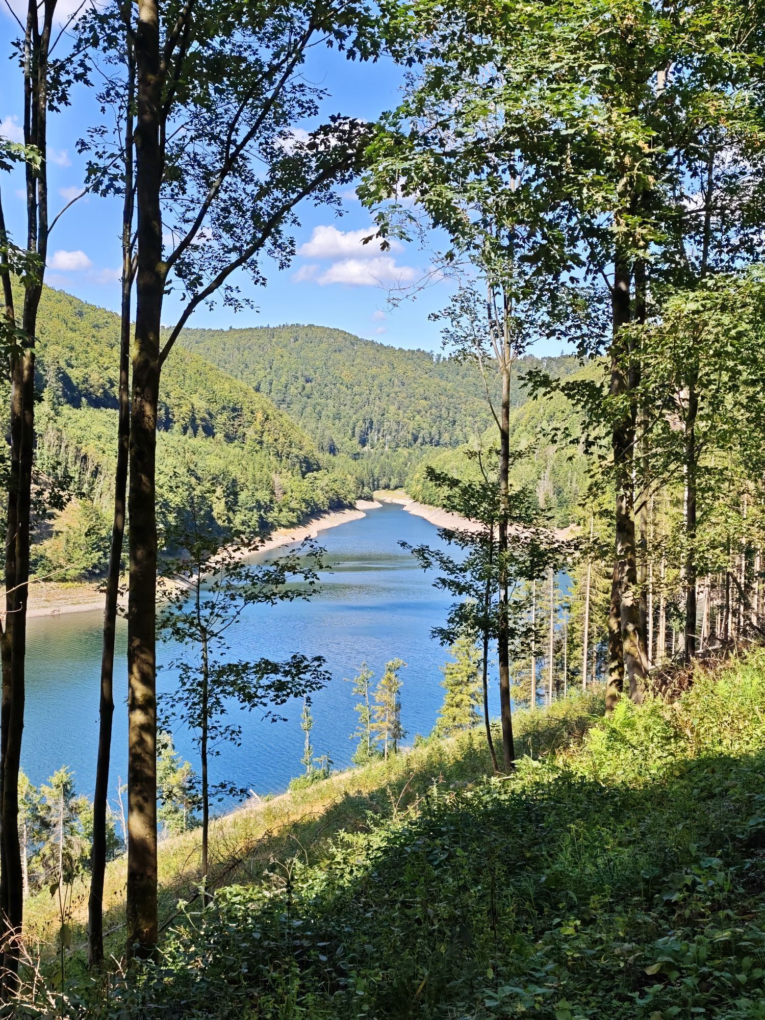
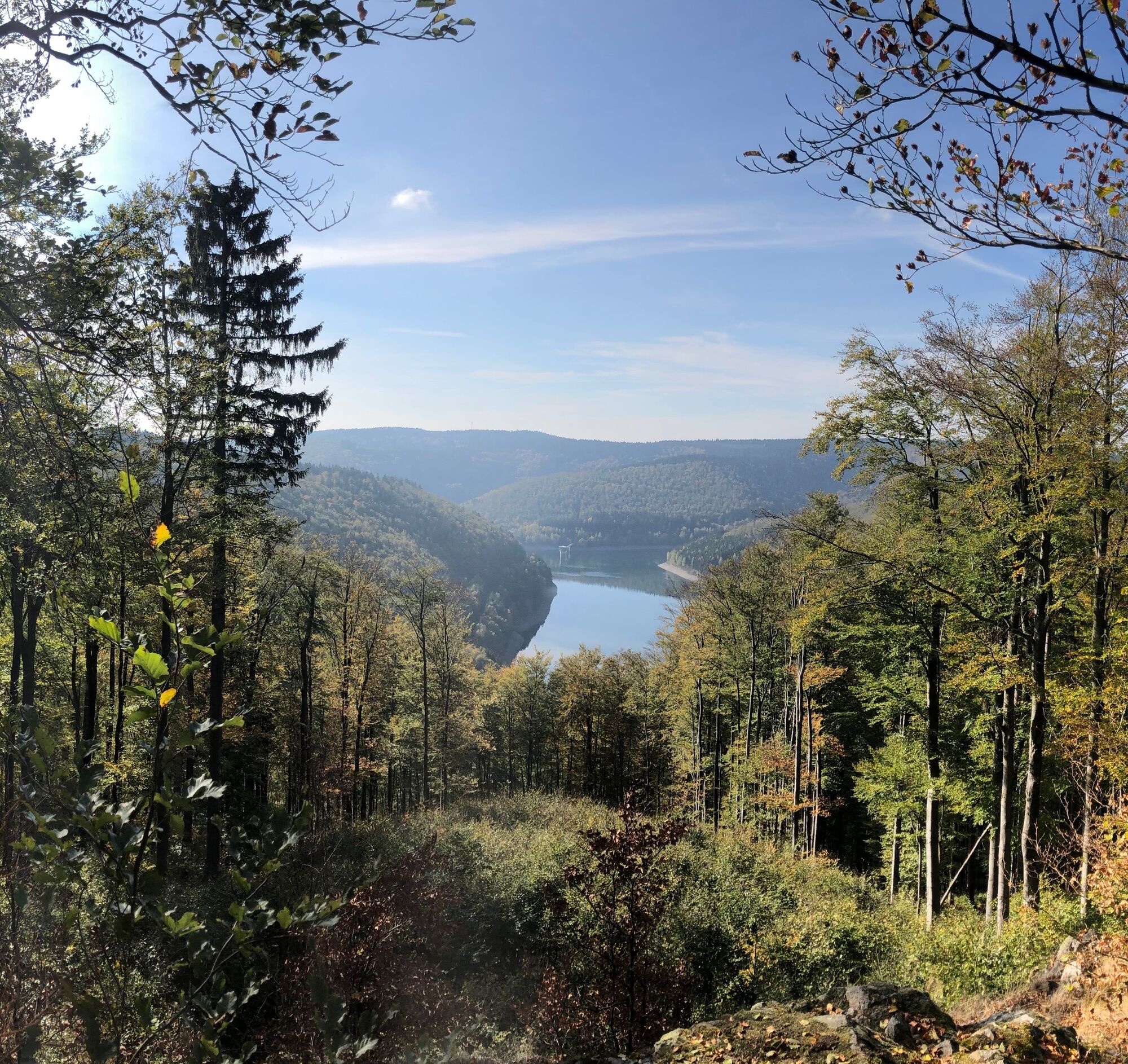
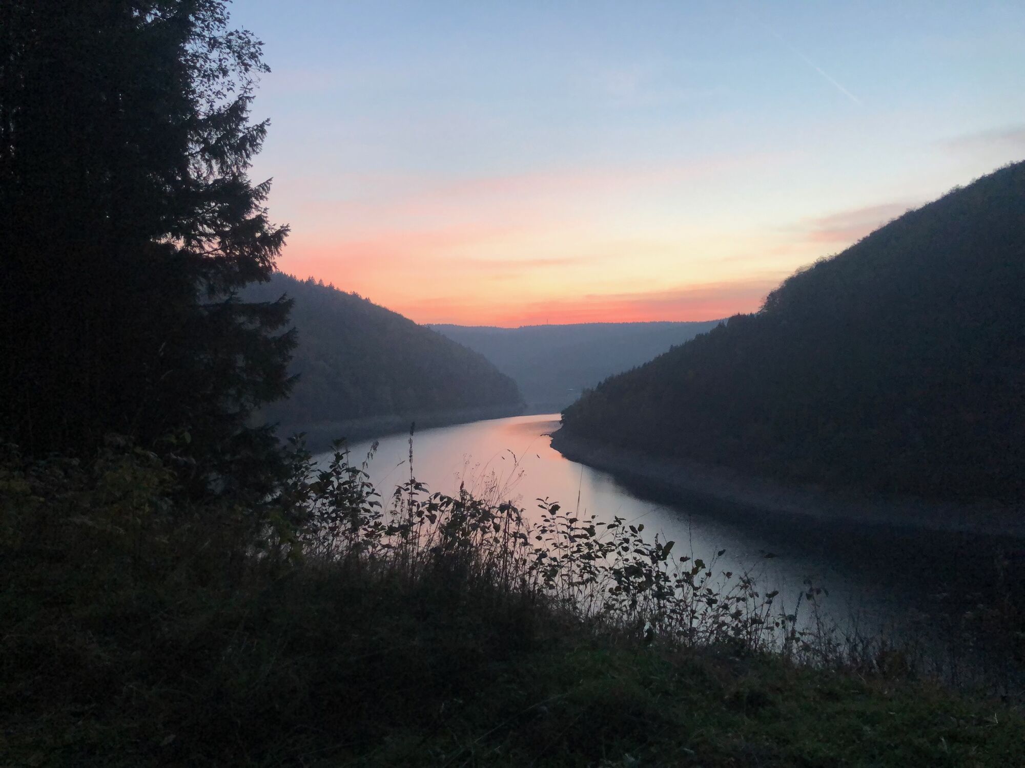
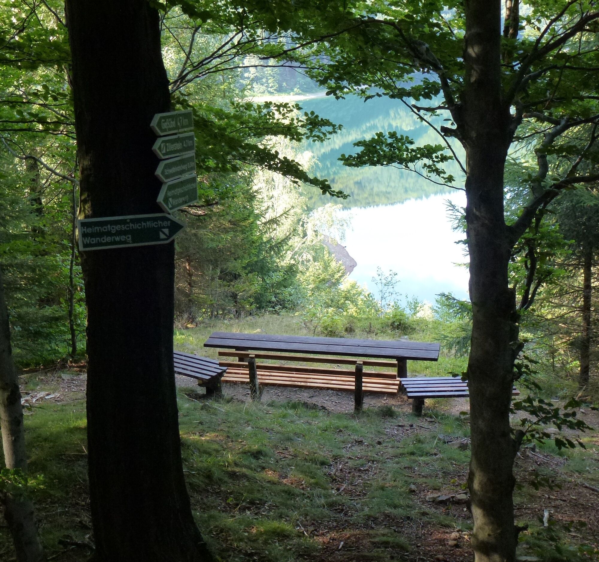
After a short rest under the blockhouse-style shelter, follow the signposts towards the forest. At the fork, keep right; shortly after follows another sign for the local history hiking trail. Continue through the forest along the Tannenleite. At the next fork, go left, and shortly after at the information board, again left towards Zillerstein, at 740 m the highest point of the tour. There you have a wonderful view of the Schönbrunn drinking water reservoir.
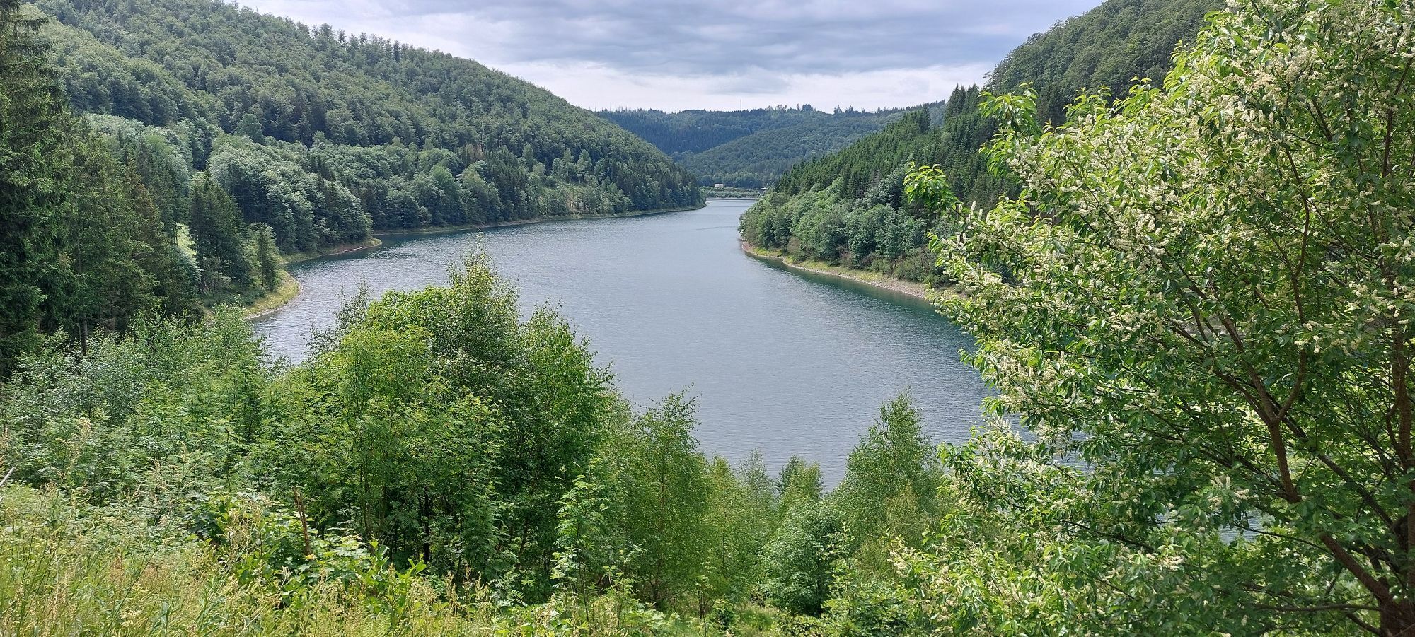
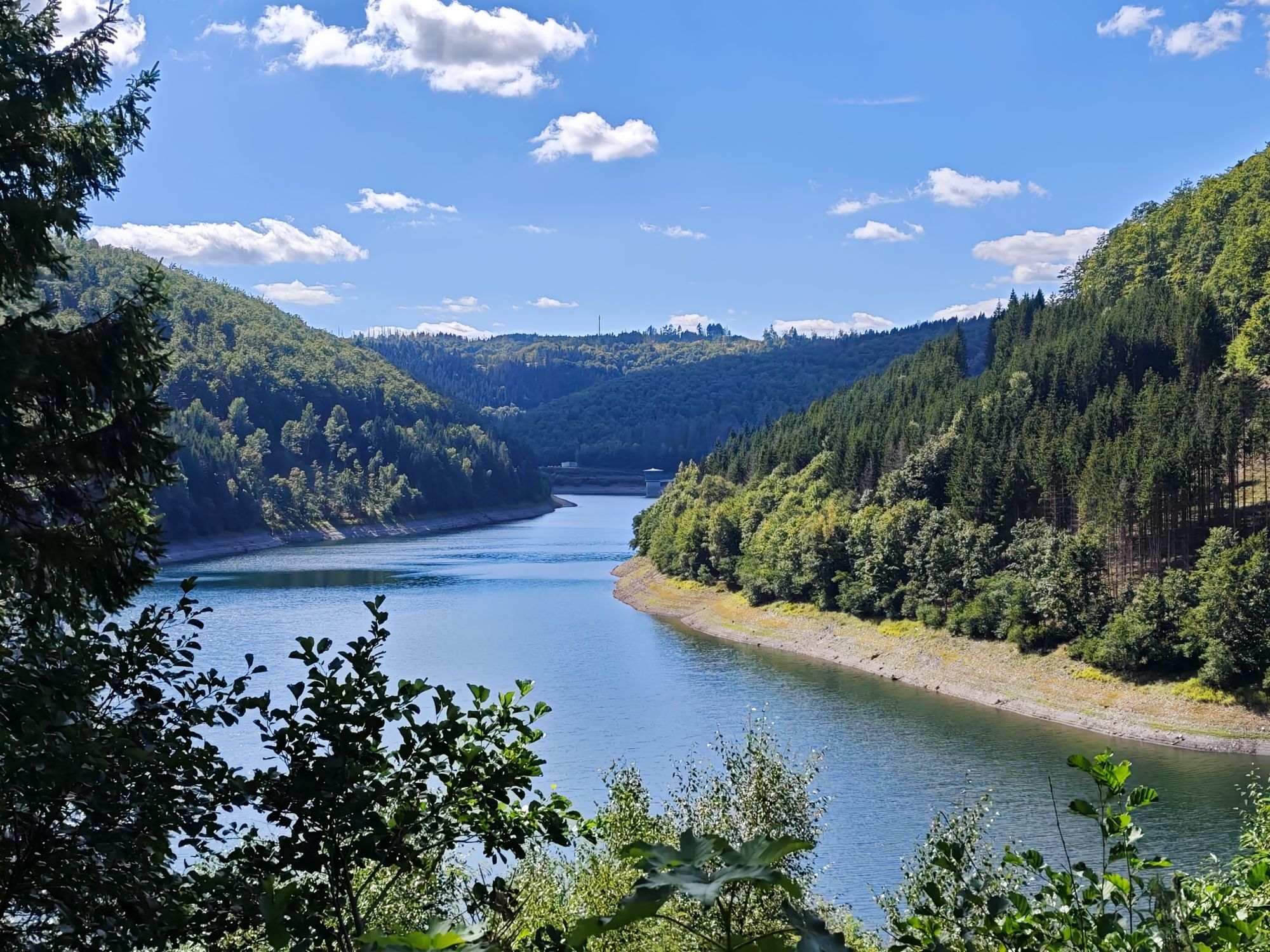
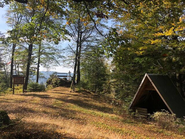
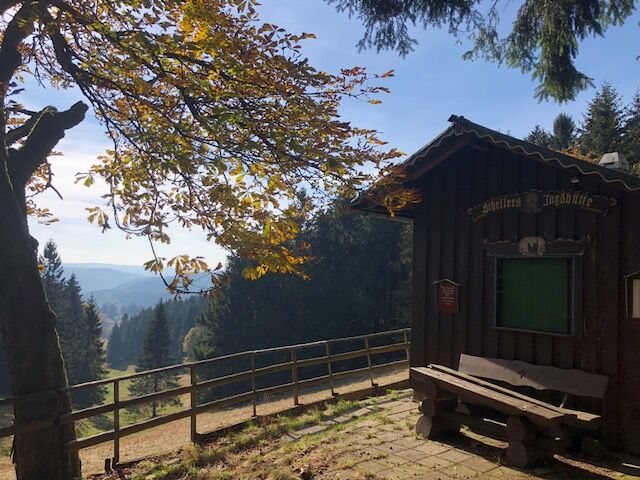
After a short rest in the shelter, continue through the forest to the Märters Plain; at the fork, keep left. Shortly after, at the next signpost, the hiking trail becomes a narrow footpath, going steeply downhill left through the forest. Upon reaching the saddle ground, turn left onto the wide hiking path towards the reservoir. After some time, the next signpost is on the right side. From here, leave the main path and take another narrow footpath through the forest leading to the viewpoint at the reservoir. At the seating area, you have a nice view of the Schönbrunn drinking water reservoir.
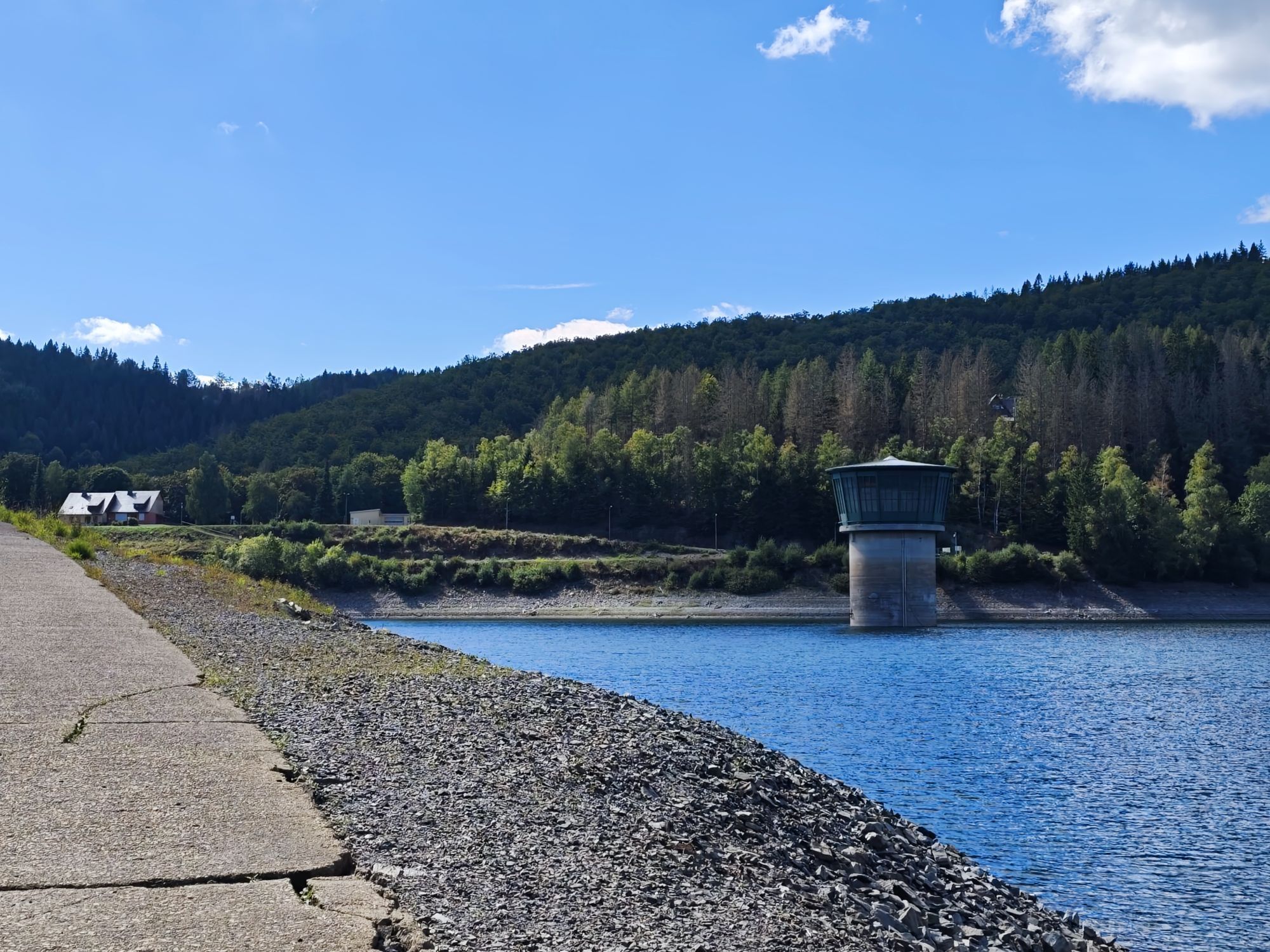
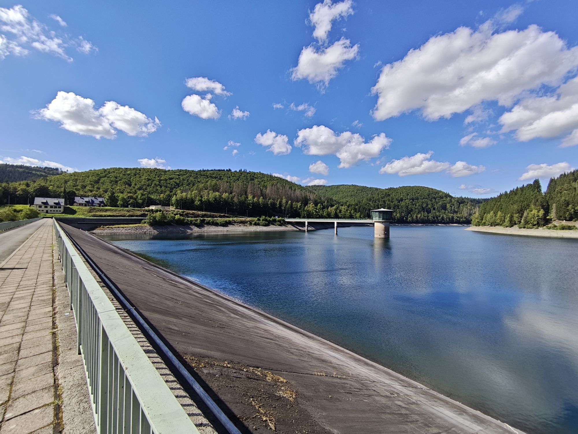
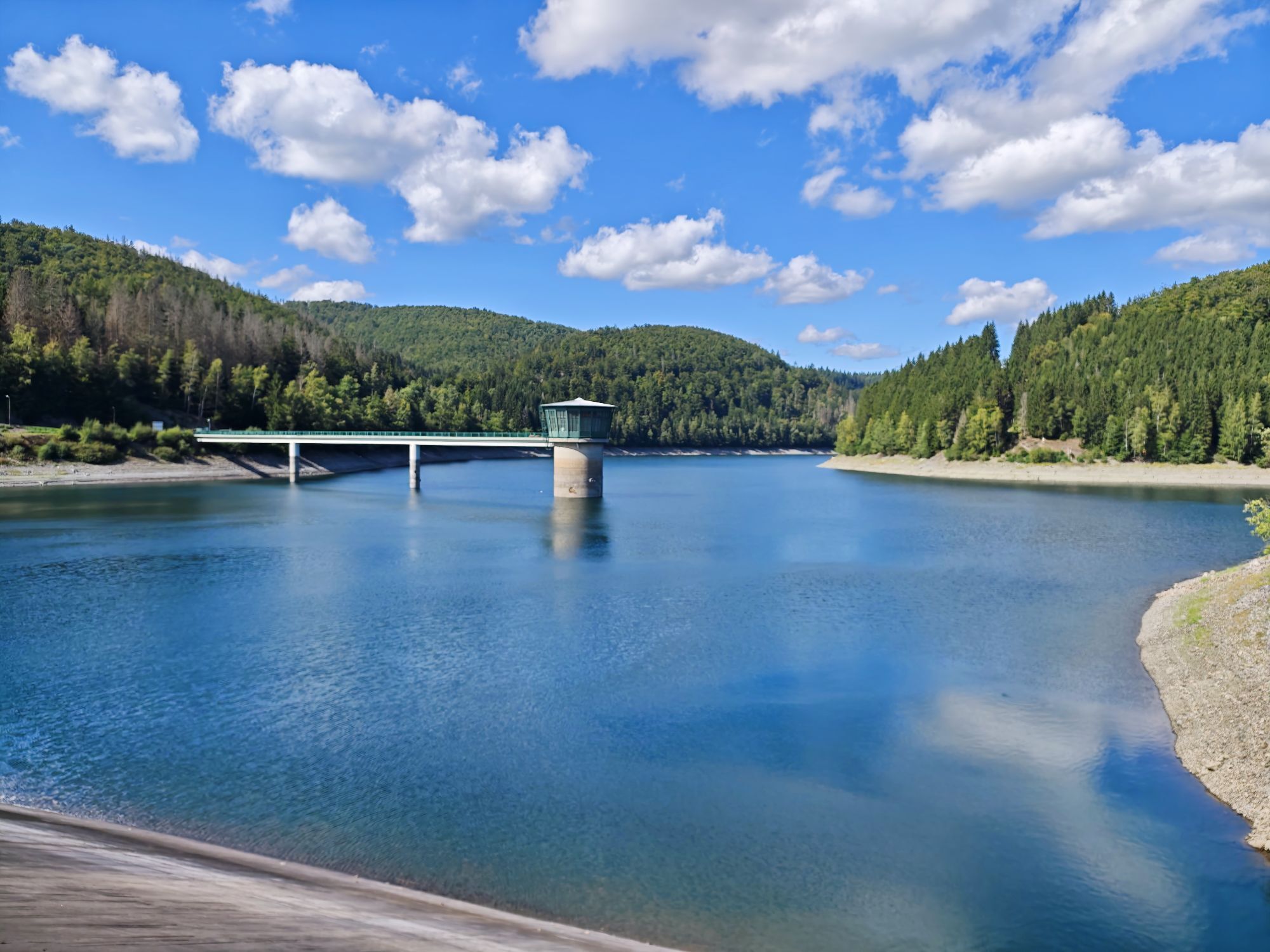
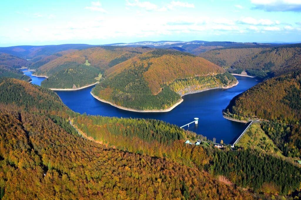
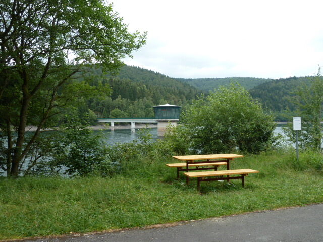
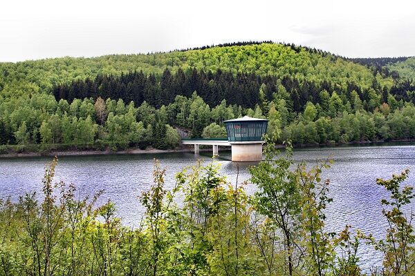
Now leave the narrow footpath and walk the last kilometers on asphalt towards the dam, turning left. At the dam, with a height of 66m, you have a view over the water to the intake tower and onwards and on the other side to the water treatment plant down in the valley. Continue straight down on the street. At the covered seating area, turn left into the village Schönbrunn back to the hiking parking lot.

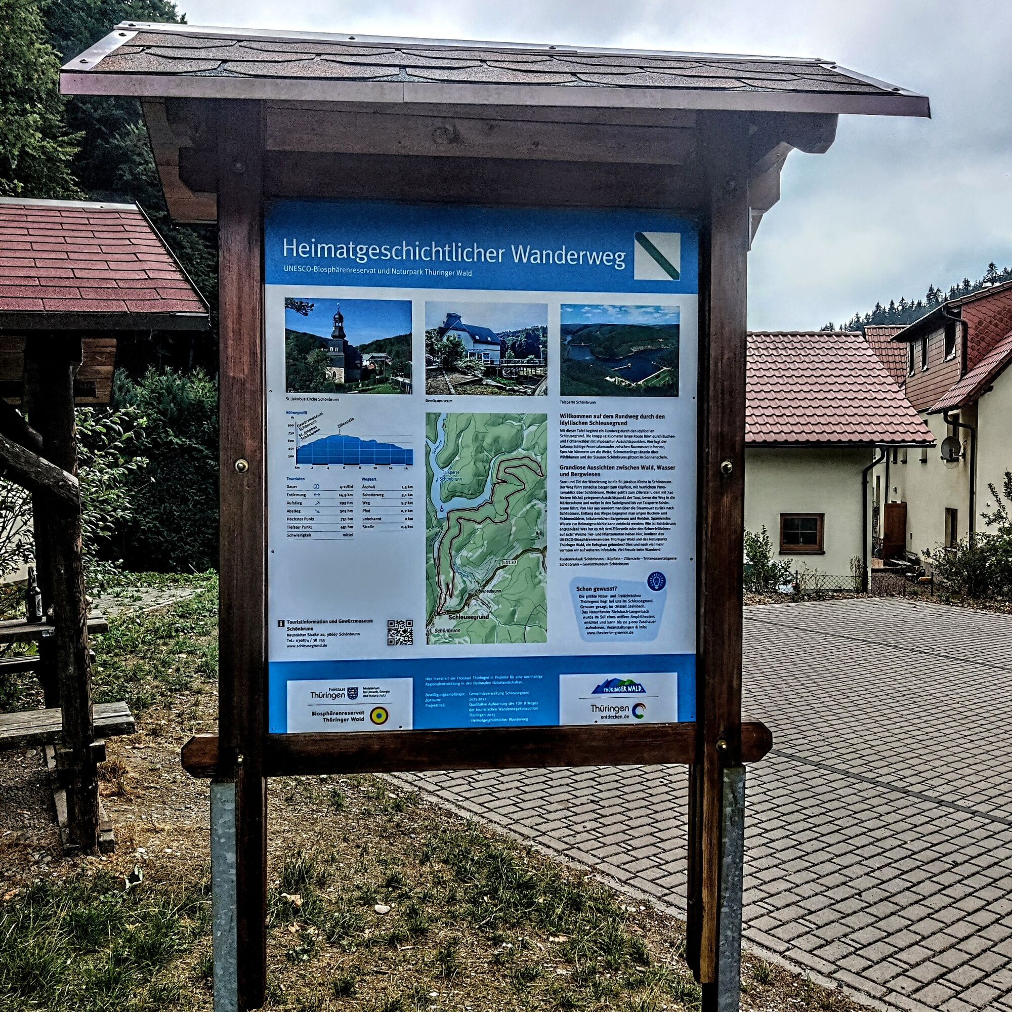
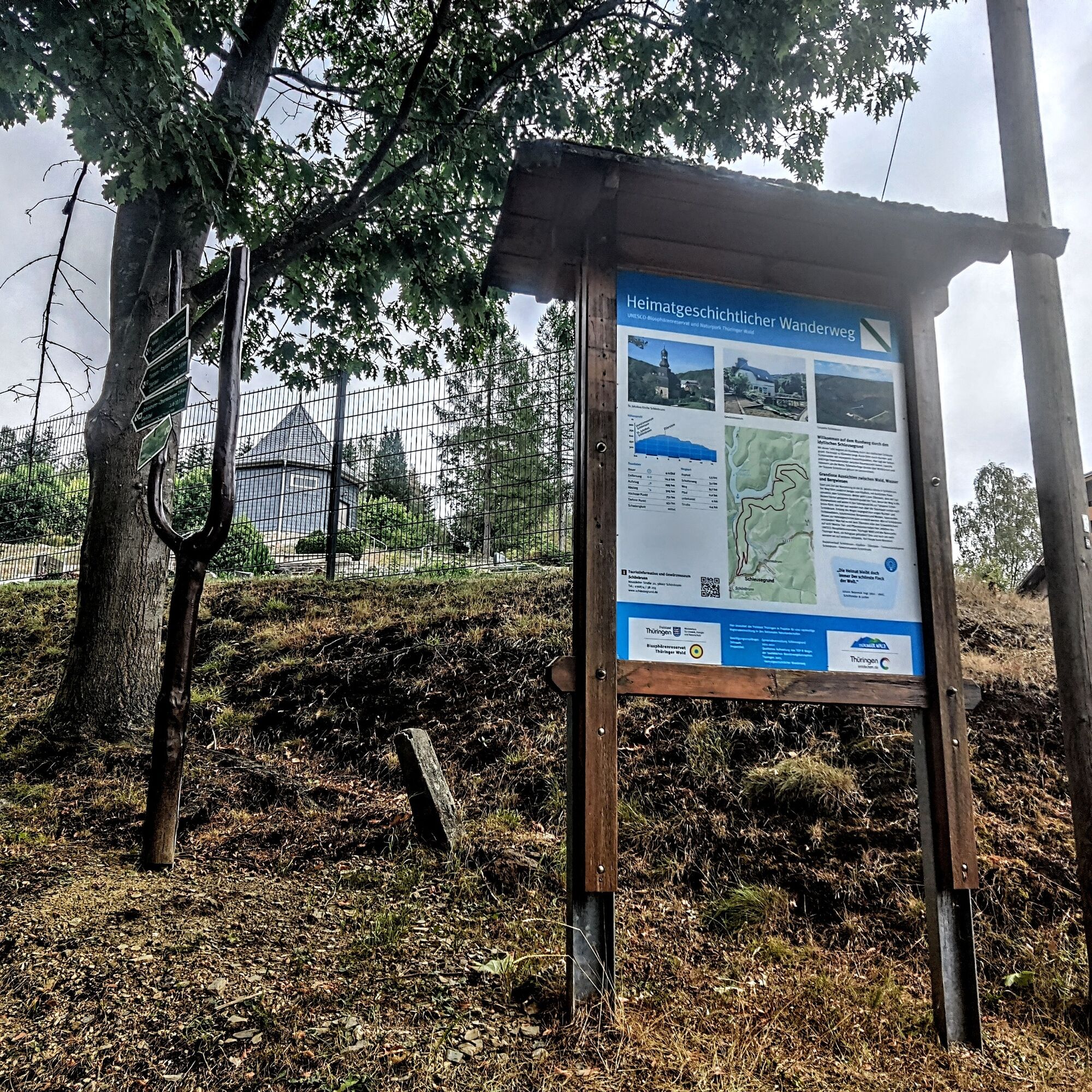
Schönbrunn Church – Footpath to the Little Head – Path along the Tannenleite – Zillerstein – Saddle – Large Saddle Ground – Sulfur Wall Path – Märters Ground – Reservoir – Dam – Market Square (Dining options at Gasthof Fröhlicher Jäger + Amm Butchery)
Tak
Tak
The hiking trail requires sturdy footwear. You will partly hike on narrow paths. Avoid stepping on moss-covered stones and rocks due to the risk of slipping and watch out for deadwood, branches, and fallen trees.
Be aware of the typical dangers of the forest!
Hiking is at your own risk!
We wish you a relaxing and exciting hiking experience!
Coming from the A73, take exit 4 (Schleusingen) and continue on L3004 towards Schmiedefeld. In the village of Hinternah, turn right over the railway crossing onto Waldauer Street towards Waldau. Then turn left towards Masserberg. After about 3 km, you arrive at Schönbrunn. The parking lot is located in the middle of Schönbrunn. Turn into Schnetter Street at the Forestry Office, where you will find the small parking lot on the left side.
You can reach Schönbrunn with the DB train to Suhl station. From the bus station opposite, continue with the bus line 203 to Schönbrunn Regelschule stop.
Use the parking lot on Schnetter Street: Google NAV point
T2
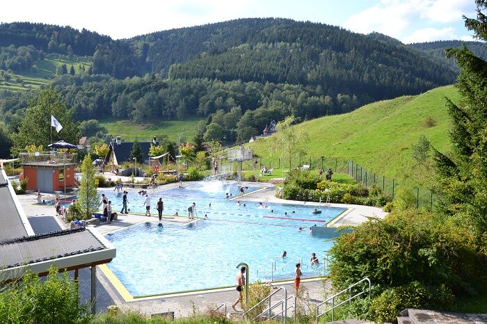
Visit the Spice Museum or the Terrace Pool in Schönbrunn

Popularne wycieczki w okolicy
-
5,0
Naturlehrpfad Gießübler Schweiz
średniWędrówka 7,99 km -
3,0
Circular hike - "4 ponds hike" Neustadt am Rennsteig - Thuringian Forest
ciężkiWędrówka 12,6 km -
3,8
Rundweg Talsperre
średniJazda na rowerze 14,5 km -
The Rennsteig - long-distance hiking trail from Hörschel to Blankenstein - Thuringian Forest
ciężkidługodystansowy szlak pieszy 169,0 km -
5,0
Circular hiking route - TOP 1 - Werra Source - Masserberg - Thuringian Forest
średniWędrówka 5,94 km -
4,0
Circular hiking trail - TOP 4 - Masserberg - Fehrenbach Switzerland - Thuringian Forest
średniWędrówka 11,5 km -
5,0
Rundtour Staudamm
światłoWędrówka 3,91 km -
Around the Kickelhahn - Ilmenau - Nature Park Trail - Thuringian Forest
średniWędrówka 10,7 km -
5,0
Circular hike - To the Schönbrunn Dam - Frauenwald
średniWędrówka 15,1 km -
5,0
Circular hiking trail around the Langebachtal - Thuringian Forest
średniWędrówka 12,2 km
Wędrówki i tropienie


Nie przegap ofert i inspiracji na następne wakacje
Twój adres e-mail została dodana do listy mailingowej.