






Nature park trail »Münchhausen« ↻ 3.0 km, Bockstadt/Eisfeld
Poziom trudności: T1
The nature park trail »Münchhausen« offers an idyllic route through the picturesque landscape around Bockstadt/Eisfeld. With a length of about 3 kilometers, this circular route is ideal for a short yet...
The nature park trail »Münchhausen« offers an idyllic route through the picturesque landscape around Bockstadt/Eisfeld. With a length of about 3 kilometers, this circular route is ideal for a short yet impressive hike. The trail starts and ends at the Bockstadt campsite, where hikers can obtain a map of the trail, which is stamped with the Baron's seal as a souvenir.
The route is clearly marked, making orientation easy and allowing hikers to safely return to the starting point. Along the path, you will reach the former signal fence, which was once part of the 500-meter-wide security strip of the GDR border security installations. A detour to the National Natural Monument "Green Belt Thuringia" is worthwhile to explore the historical border relics and learn more about the local history. Overall, the nature park trail »Münchhausen« offers a perfect opportunity to enjoy nature and simultaneously experience a piece of German history.

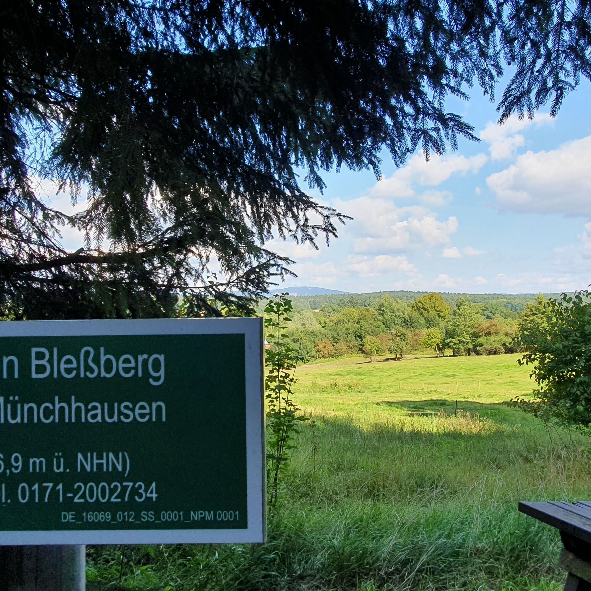
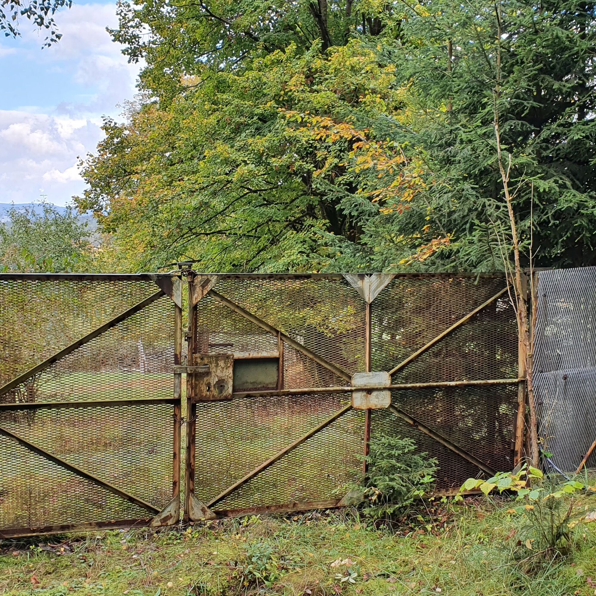
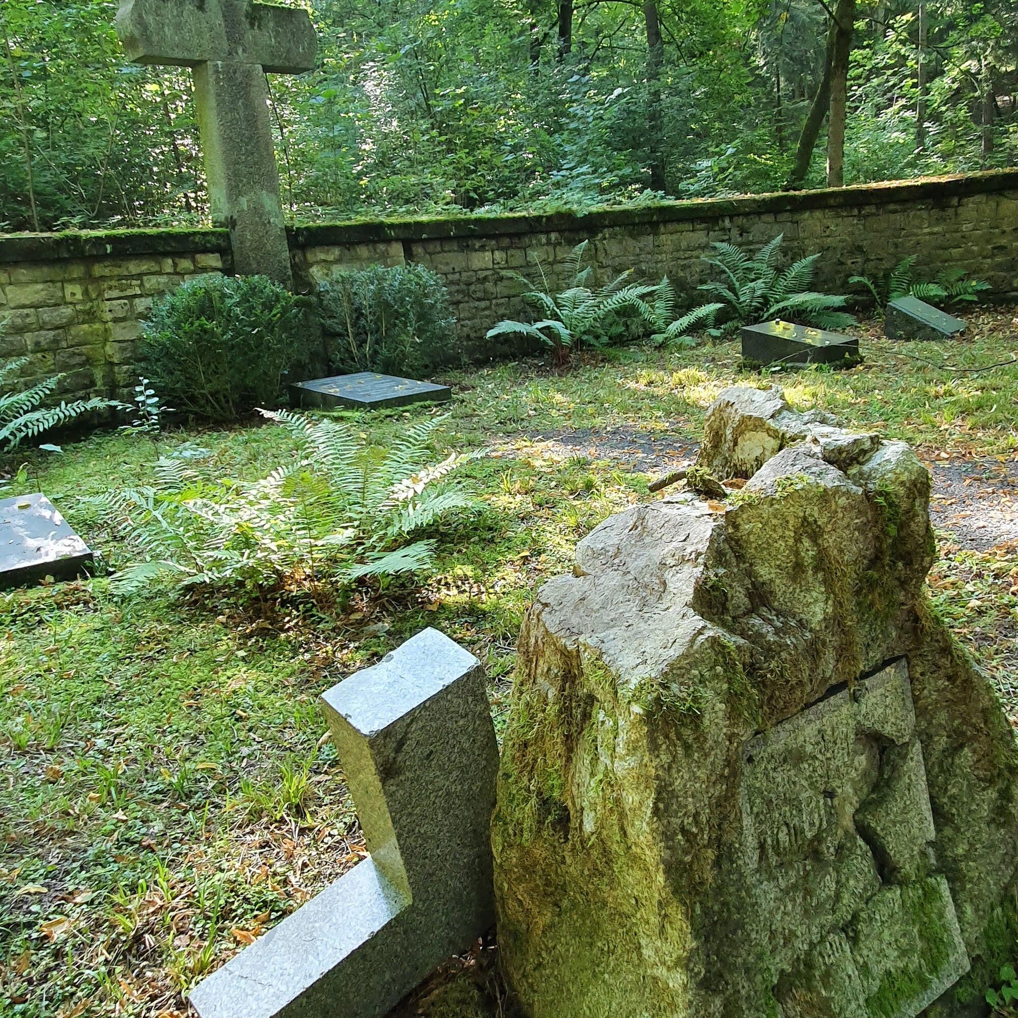
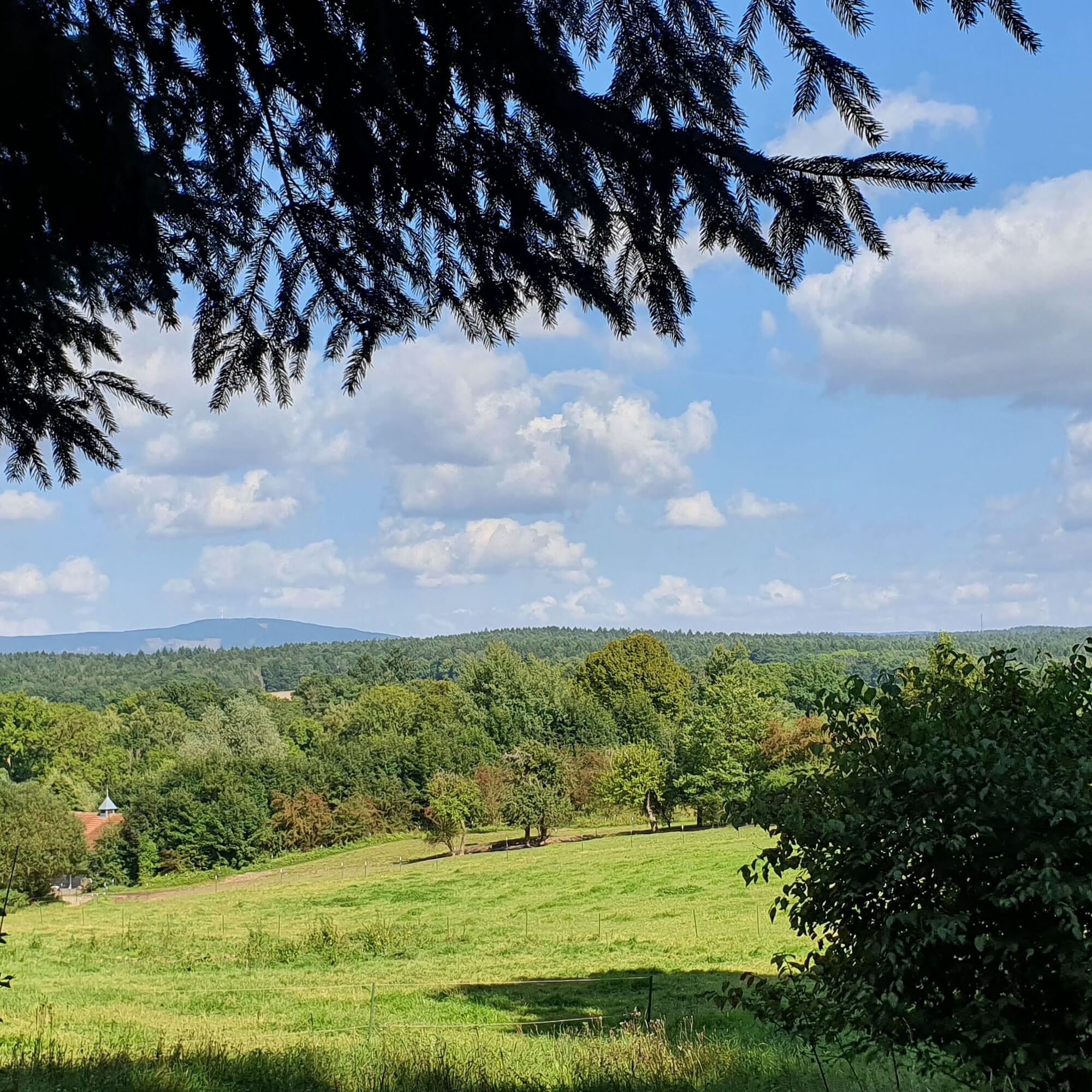
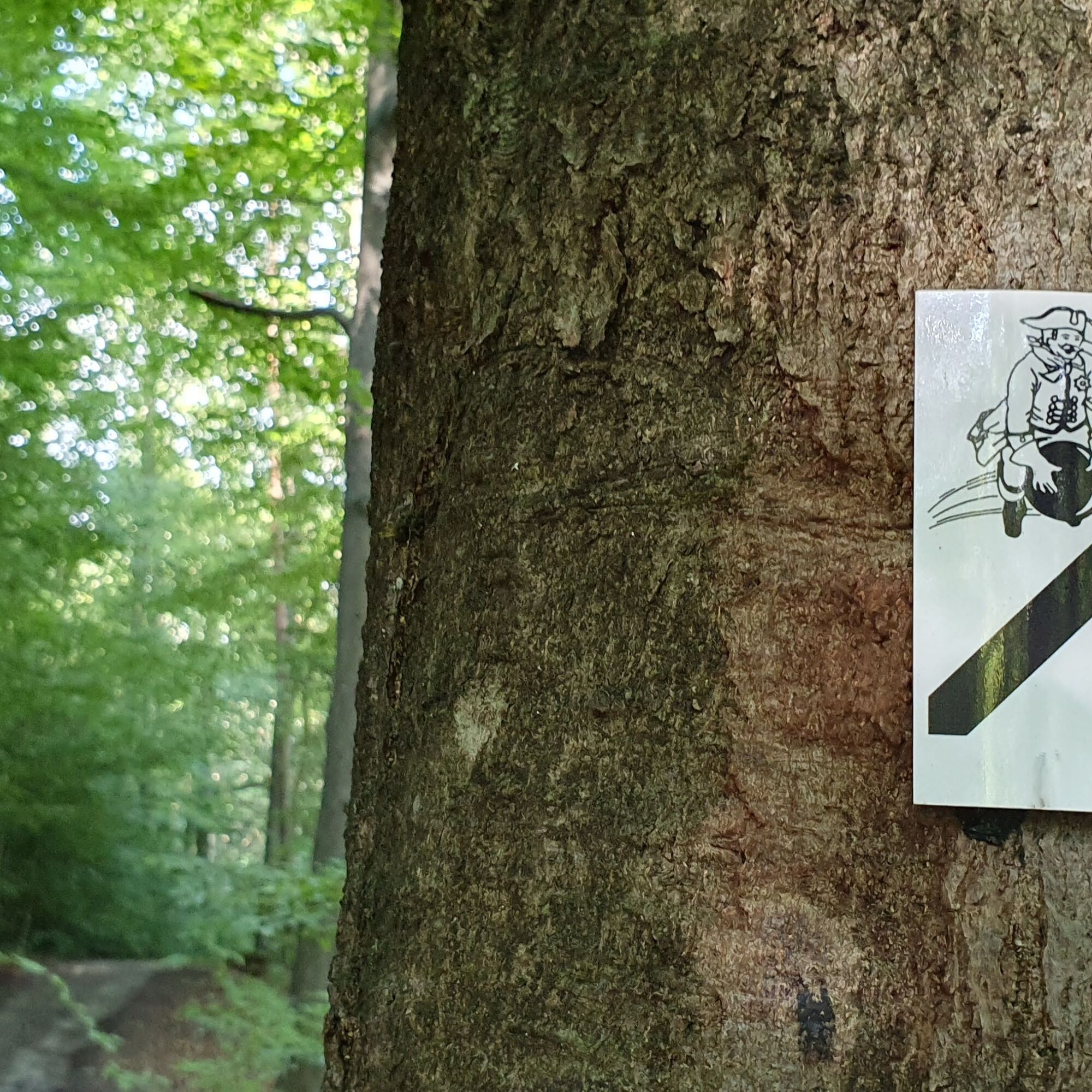

Following the distinctive markings and signs, you reach the grave of Baron von Münchhausen, pass the “Bleßberg View” where there is a seating area, and continue on to the Green Belt.
Along the partially preserved inner German border, the route returns past the old manor of Baron von Münchhausen.
Further along the way, you will find a signpost pointing to a beautiful white beech avenue, which once belonged to the castle grounds.
Various information boards along the hiking trail provide insights into topics related to the Baron von Münchhausen circular route.
Additionally, several trail branches point towards the Werra Castles Trail, the Luther Trail, the Green Belt, and other attractions.
Tak
Tak
No special equipment is needed for this circular route as it runs on paved paths.
Hiking boots are an advantage.
Beware of typical forest hazards! Dining and shopping opportunities are easily reachable via the Werra Valley Cycle Path in the neighboring towns of Harras and Eisfeld, only 1.5 km from the hiking trail.
Bockstadt is located in immediate proximity to the BAB73 motorway. The starting point of the route can be quickly reached via the "Eisfeld-Süd" motorway exit—situated between Coburg and Suhl. Via K530, you arrive in Bockstadt after 3 kilometers.
Bockstadt, the starting point of the round tour, is accessible by bus (line 212). The SüdthüringenBahn stops hourly in the neighboring towns of Eisfeld and Harras. Bus stops are located near the train station.
There are plenty of parking spaces in the village, e.g., at the playground in the village center or at the campsite.
T1
The hiking trail leads to the former signal fence at the 500-m security strip of the GDR border security installations. From there, a detour to the National Natural Monument "Green Belt Thuringia" with its border relics is recommended.
Popularne wycieczki w okolicy
-
5,0
Naturlehrpfad Gießübler Schweiz
średniWędrówka 7,99 km -
5,0
Circular hiking route - TOP 1 - Werra Source - Masserberg - Thuringian Forest
średniWędrówka 5,94 km -
4,0
Circular hiking trail - TOP 4 - Masserberg - Fehrenbach Switzerland - Thuringian Forest
średniWędrówka 11,5 km -
5,0
Circular hiking route - "Panorama View" - Schönbrunn - Thuringian Forest
średniWędrówka 9,65 km -
Circular route - TOP 3 - hike with a view - Masserberg - Thuringian Forest
średniWędrówka 17,3 km -
4,0
Circular hiking trail - TOP 2 - Masserberg - "Cultural Experience" - Friedrichshöhe - Thuringian Forest
średniWędrówka 15,2 km -
5,0
Circular hiking trail - "Frankenblick" - Schönbrunn - Thuringian Forest
średniWędrówka 12,3 km -
Circular hike - Around the pumped-storage power plant - Goldisthal
średniWędrówka 19,5 km -
Terrain therapy trail Masserberg - TKW 4 Sommerberg/Dreiherrenstein - Thuringian Forest
średniWędrówka 7,28 km -
Circular hiking trail - TOP 5 - "Family Fun" - House of Nature Goldisthal - Masserberg - Thuringian Forest
średniWędrówka 8,12 km

Wędrówki i tropienie


Nie przegap ofert i inspiracji na następne wakacje
Twój adres e-mail została dodana do listy mailingowej.





