


Road bike route - "Bach-Goethe" - Thuringian Forest
Poziom trudności: 3
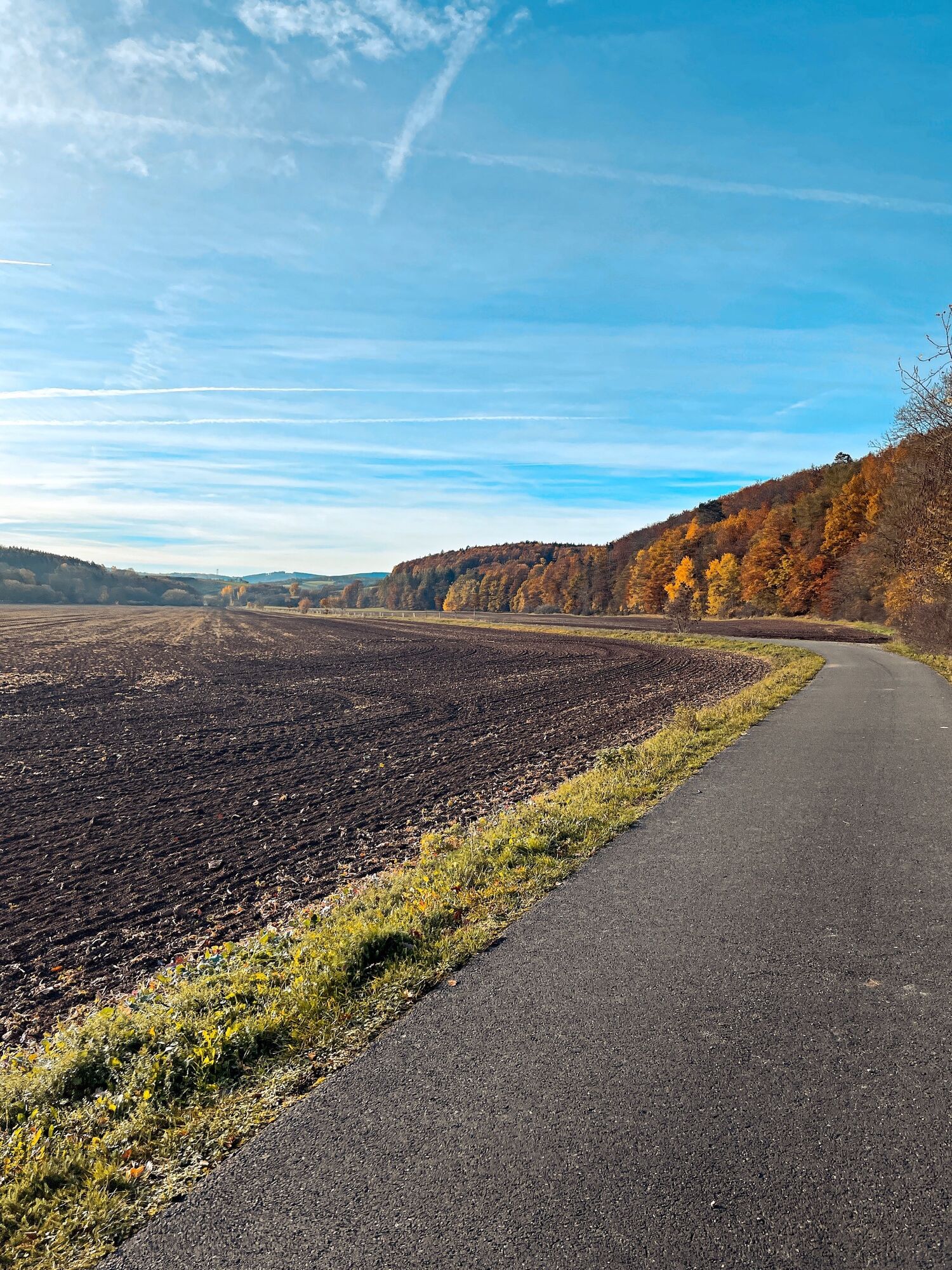
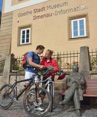
The route through the Ilm district can be started in Arnstadt and Ilmenau. The great thing about this route is that you are predominantly on paved cycle paths. Marcel Kittel rode and still rides this route...
The route through the Ilm district can be started in Arnstadt and Ilmenau. The great thing about this route is that you are predominantly on paved cycle paths. Marcel Kittel rode and still rides this route again and again when visiting his home: "This route leads over numerous cycle paths – starting with the Geratal Cycle Path – and quiet roads towards Ilmenau. The return to Arnstadt goes via the well-developed Ilm Valley Cycle Path with only a few meters of elevation, which you can cover very quickly on the edge of the Thuringian Forest."
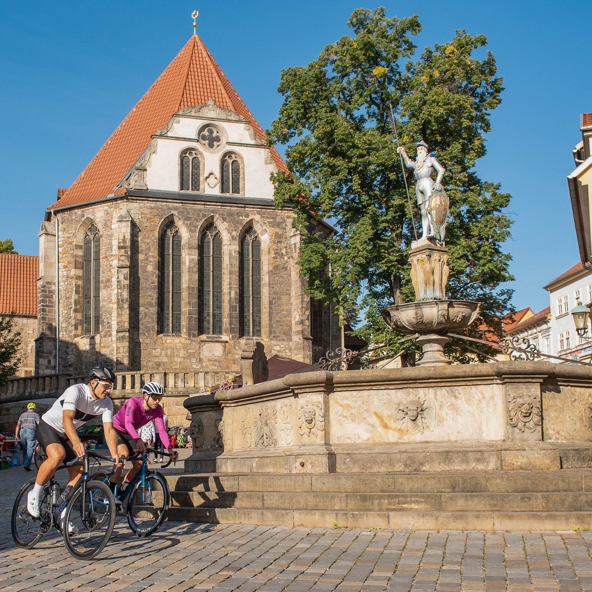
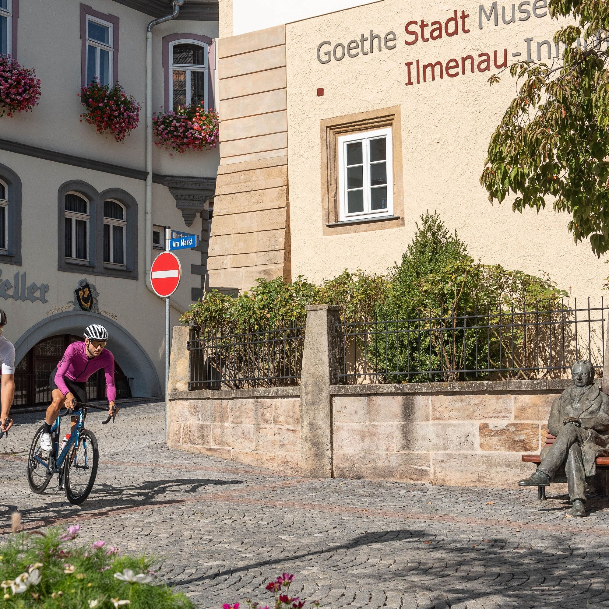
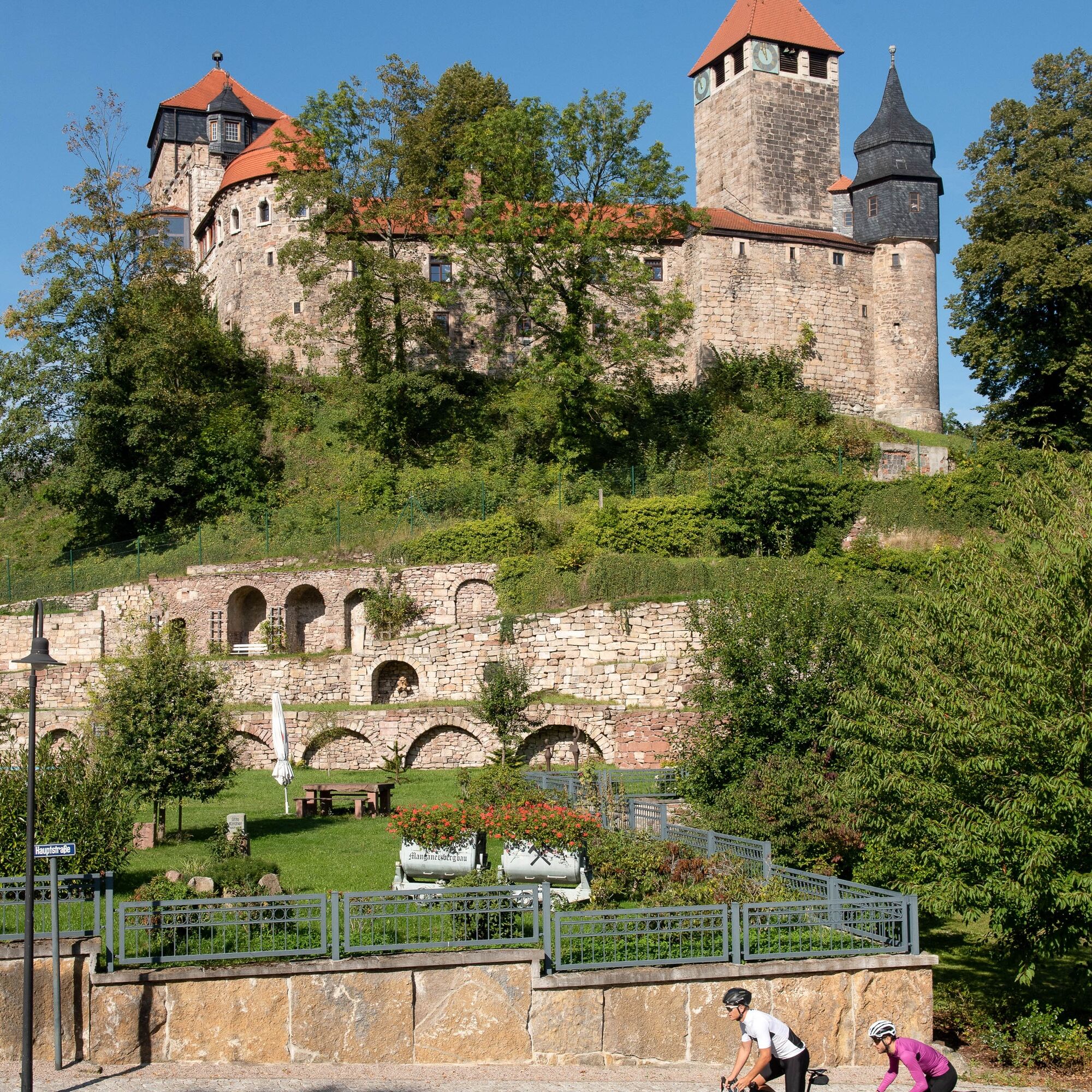
Along the way, there are plenty of places to stop but also some culinary highlights to be found.

Arnstadt - Dosdorf - Plaue - Angelroda - Geraberg - Elgersburg - Ilmenau - Gräfinau Angstedt - Lehmannsbrück - Griesheim - Stadtilm - Niederwillingen - Roda - Gorbitzhausen - Hausen - Dannheim - Dorotheenthal - Arnstadt
Consider that a properly adjusted helmet can save your life if in doubt.
Always pay attention to your bike's traffic safety. The cycle path runs partially on public roads. Watch out for other road users and ride with foresight. The road traffic regulations (STvO) apply.
Especially during the hot summer months, always carry something to drink to prevent dehydration. A sunscreen with a high SPF is also recommended.
Marcel made sure on the route between Stadtilm and Arnstadt that you do not use the heavily trafficked federal roads. There may be shorter paths on the last section, but with significantly more traffic.
Coming from the A71, take exit 14a (Arnstadt South) and continue on L1048 westwards towards Arnstadt.
Arnstadt and Ilmenau are connected to the German Rail network and directly linked to each other. Use the DB travel information to find connections:
Parking lot at Schulgasse by the New Church Google NAV point
3
On the Geratal Cycle Path: Ziegenried Sheep Cheese Dairy. The Elgersburg and Schindler Bakery (doughnuts or croissants) are highly recommended.
Kamery internetowe z trasy
Popularne wycieczki w okolicy
-
4,4
Circular route - Around the Heyda Dam - Thuringian Forest
średniWędrówka 7,59 km -
The Rennsteig - long-distance hiking trail from Hörschel to Blankenstein - Thuringian Forest
ciężkidługodystansowy szlak pieszy 169,0 km -
4,0
Arnstadt - Bittstadt - Holzhausen - Haarhausen
średniWędrówka 20,1 km -
5,0
Circular Hiking Route - Lütsche-Flößgraben - Thuringian Forest
ciężkiWędrówka 13,8 km -
4,0
Bach-Rad-Erlebnisroute
średniJazda na rowerze 64,5 km -
„Auf den Spuren starker Frauen" - Pilgern in Thüringen
średniTrasa pielgrzymki 54 km -
„Von Bach zu Goethe"
średniWędrówka 32 km -
4,0
Thuringian Primeval Forest Trails - "Primeval Forest Trail Jüchnitzgrund"
średniWędrówka 11,2 km -
Around the Kickelhahn - Ilmenau - Nature Park Trail - Thuringian Forest
średniWędrówka 10,7 km -
5,0
Circular hiking trail around the Langebachtal - Thuringian Forest
średniWędrówka 12,2 km
Wędrówki i tropienie


Nie przegap ofert i inspiracji na następne wakacje
Twój adres e-mail została dodana do listy mailingowej.