







Circular hiking trail - Tälerpilgerweg - Triptis
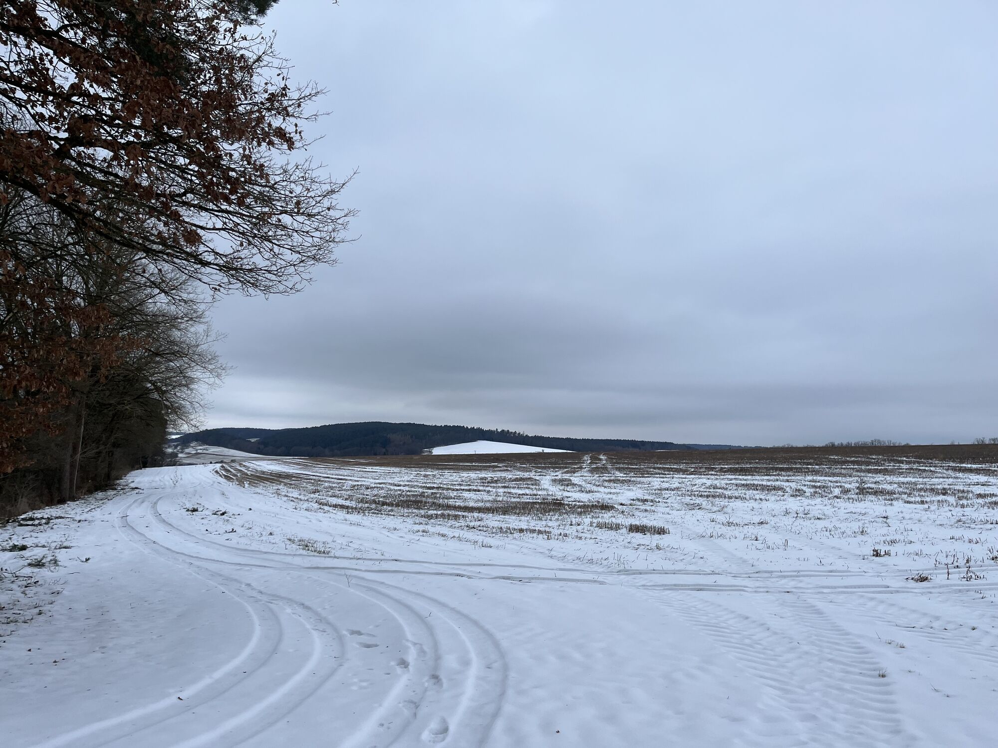
Set out on a path where you can leave your thoughts behind and discover new things for your life. The Tälerpilgerweg aims to accompany you in several sections with different themes.
Pillingsdorf - Burkersdorf...
Set out on a path where you can leave your thoughts behind and discover new things for your life. The Tälerpilgerweg aims to accompany you in several sections with different themes.
Pillingsdorf - Burkersdorf - Renthendorf
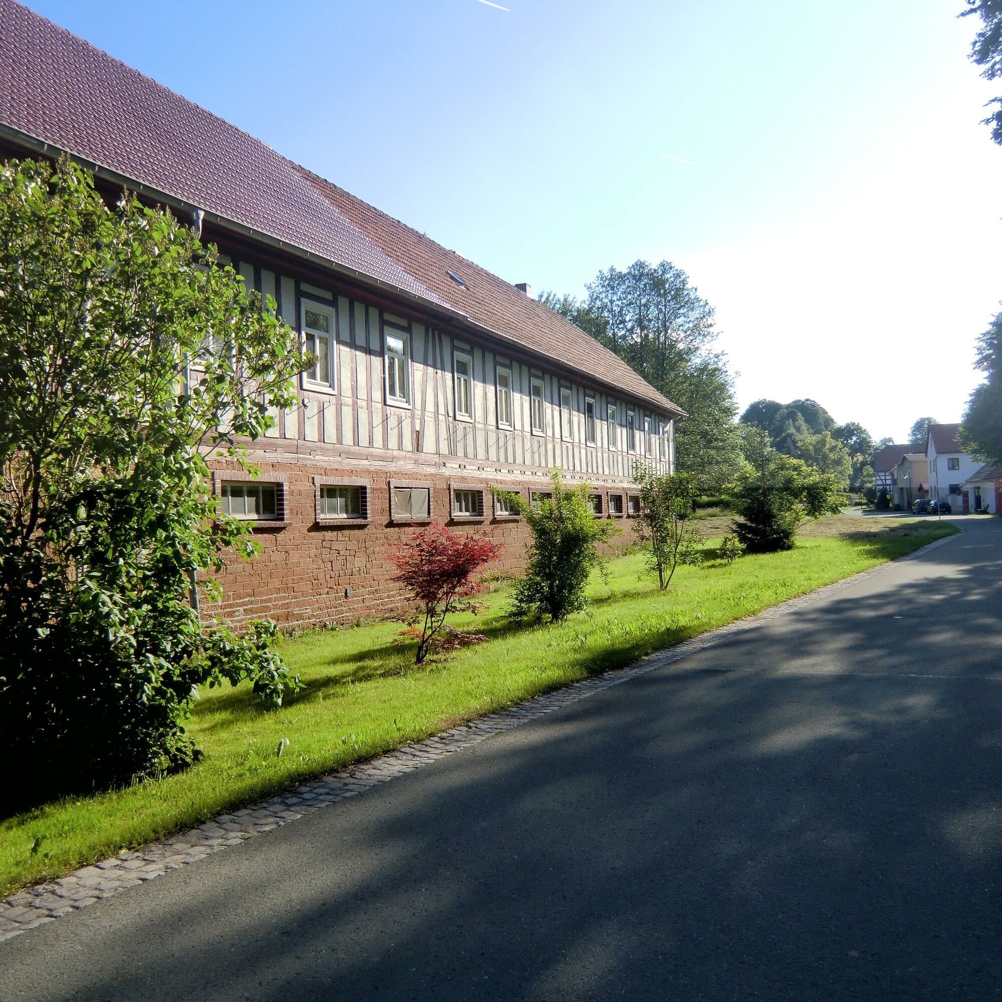
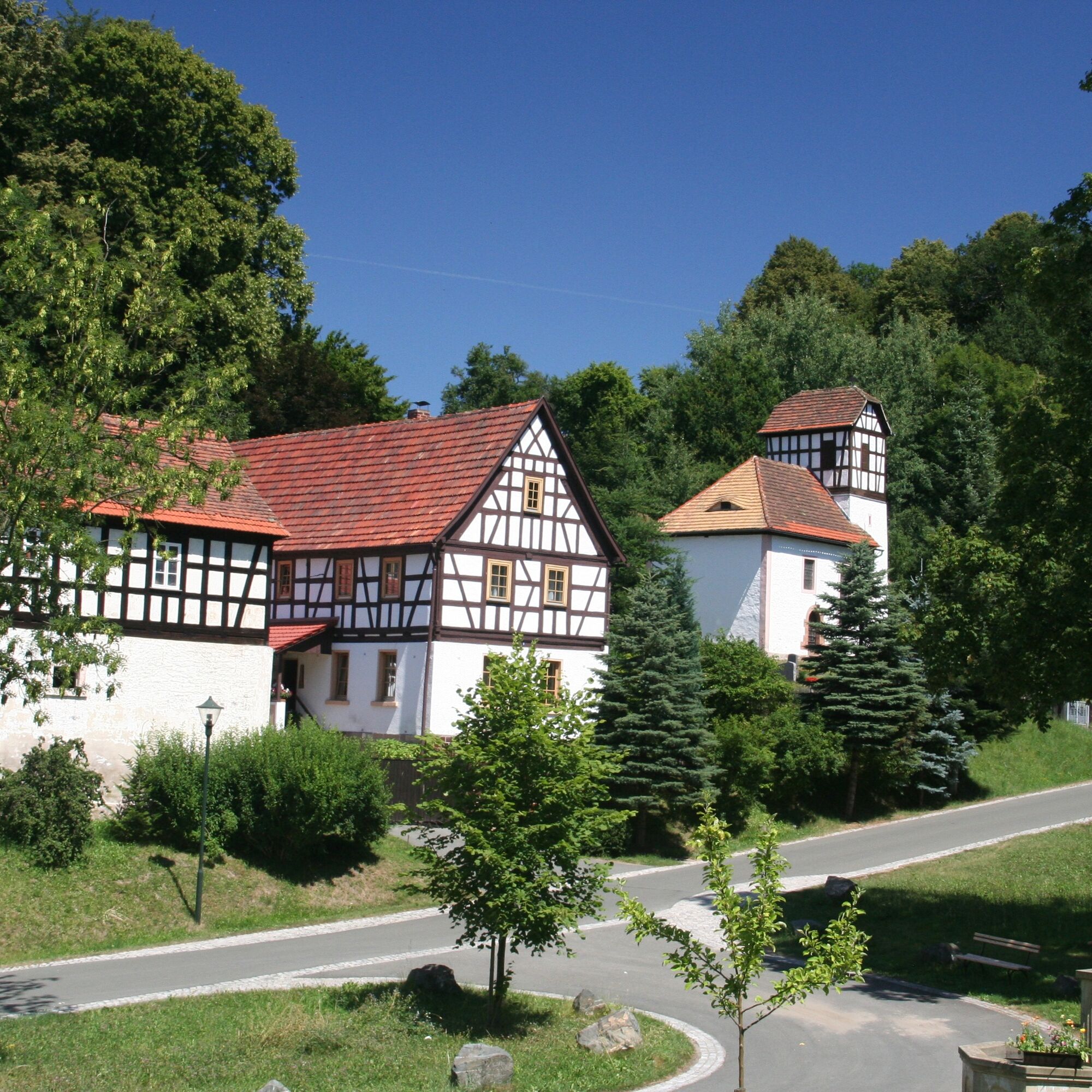
Protected as a monument, Pillingsdorf is a street village with beautiful 3- and 4-sided farmsteads built with timber framing. The St. Martin Church, located on the slope to the left, was built in 1774/75 on the foundations of a much older church from 1358. The simple rectangular hall with a small choir house has a coffered ceiling decorated with stars. The double gallery balustrade is outfitted with ornamental boards. The organ, probably built by Gerhard, dates from 1774/75. At the end of the village, we turn left onto the road towards Karlsdorf to the right junction.
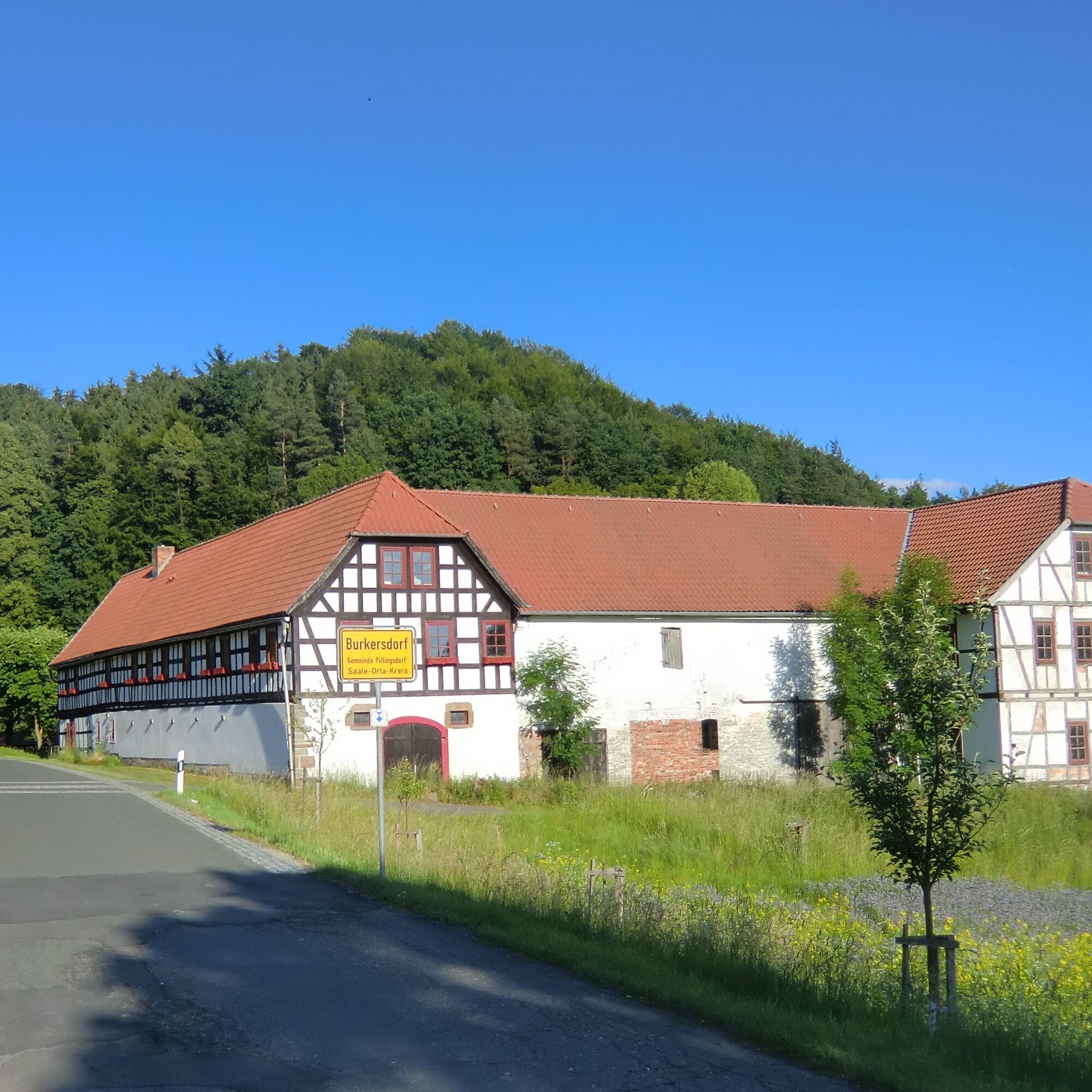
From there, a lightly traveled road leads us through a charming valley to Burkersdorf. The small village of Burkersdorf with its timber-framed houses is also under monument protection. Worth seeing is a half-timbered house. The small church with a picturesque half-timbered tower – choir tower church – with an attached apse dates from 1798.
Shortly after the village with its picturesque farmsteads, the road uphill leads left to a path in a few steps to the summer rock hut. Next to the shelter, benches invite you to rest with a beautiful view.
We continue straight and after about 300 m reach a fork. On the straight path along the forest edge and then into the woods, we reach after 600 m the Old Triptis Road, which leads from Triptis to Ottendorf (Brandberg). We continue to walk this path to the Brehmbuche. There is a resting place.
After about 250 m, the path to Unterrenthendorf branches off to the right. This path first leads through tall blueberry forests; then we reach a narrow path lined with aspens between meadows and fields that leads down the valley to the picture-perfect Renthendorf. At the height of the church, we go through a fence gate to the cemetery. Near the church are the historic graves of the Brehm family.
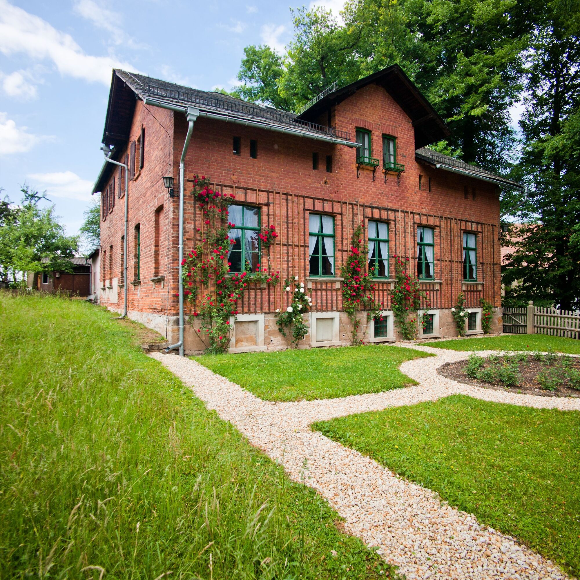
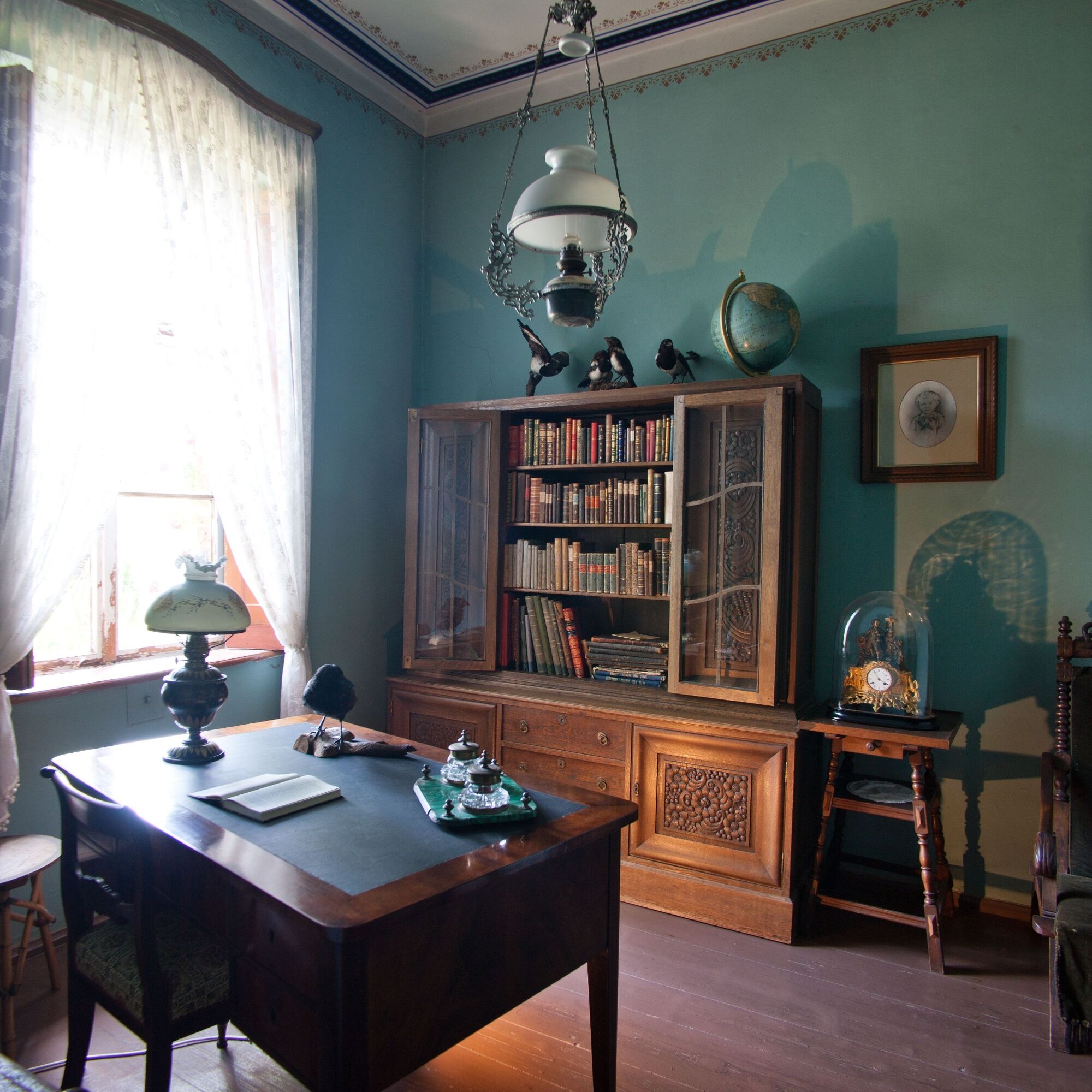
The old church from 1741 – the workplace of the “bird pastor” Christian Brehm for more than 50 years – unfortunately burned down in 1958. In 1964, after difficult reconstruction, the community inaugurated the new church on the 100th anniversary of Chr. Ludwig Brehm’s death. The interior design is simple and corresponds to the village character. Near the church is the house of the “animal father” Alfred Brehm, born and deceased here. The Brehm memorial site is currently being restored and modernized. The former school, located downhill, is now a rural school hostel where overnight stays are possible.
Renthendorf - Lippersdorf
We go down the street and keep left – continuing along the road past a species protection tower and the craft mill – always along the Roda River – to Kleinebersdorf up to the church – about 1.3 km. (After the third bridge, take the eastern path along the Roda.)
The church still has elements of Romanesque origin - such as the choir, apse, and lower part of the tower from the 12th/13th century. A particularly valuable item is a magnificent late-Gothic carved altar in the choir. Above it towers a painted triumphal arch from 1688. The shallow-pitched tower roof with decorative railing is unusual.
From the church, we walk a few steps toward Stadtroda to the Roda bridge and take the left path up the church valley to the Old Triptis Road. Here, between terraced meadows and fields, there are always stunning views. Over the named Roda bridge is the inn “Zum Löwen,” inviting you to stop. We walk left along the Old Triptis Road, which turns into a forest path leading to the signpost of variant 1 mentioned above.
From this point – the signpost to Rothvorwerk – the marked path leads downhill through spruce forest and individual beech trees into the cool Haischbach valley. About 100 m through the valley, a path to the left leads uphill, which we follow to the Triptis path. Arriving on a wide plateau, we turn right to the Rothvorwerk estate with a pond in front.
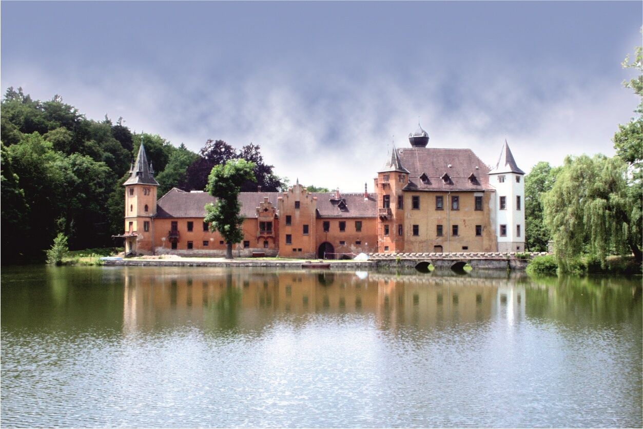
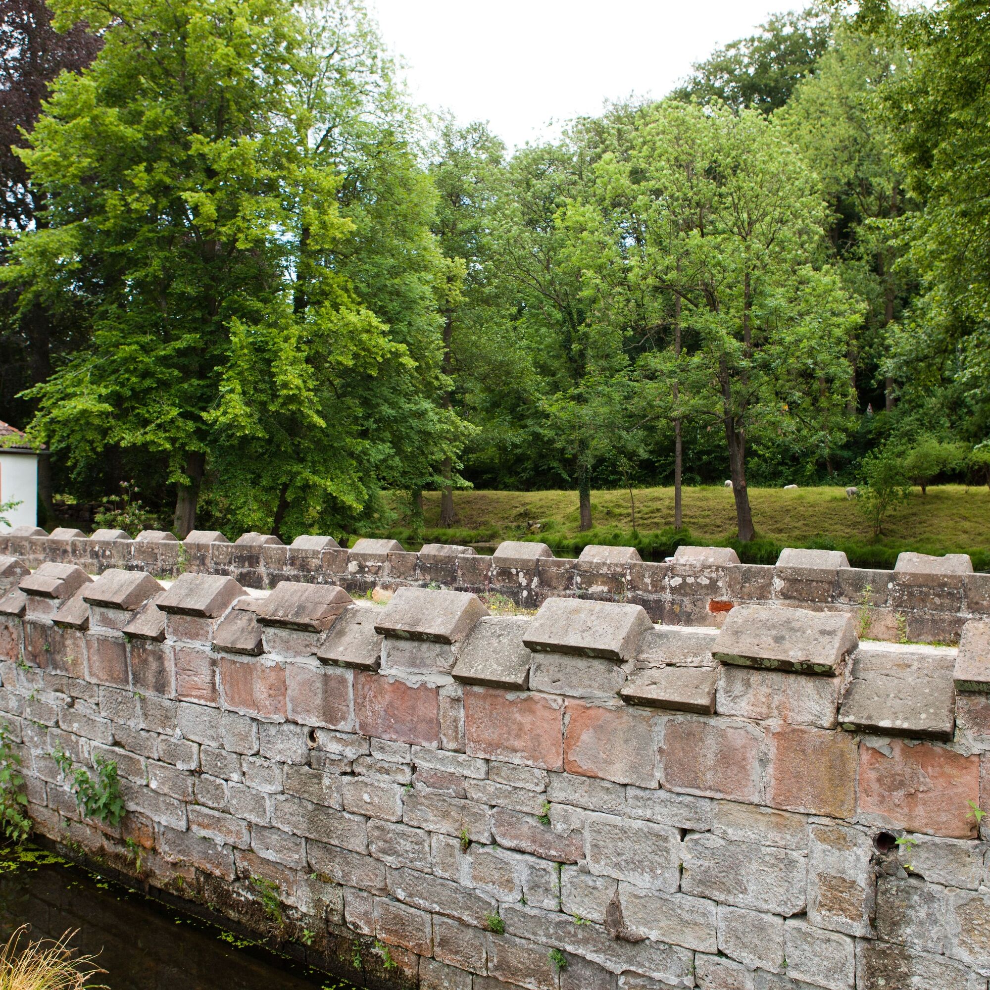
The Rothvorwerk, protected as a monument, was first mentioned in 1072. The four-sided farm is surrounded by a wall of rubble stone up to 1.30 m thick. Of the originally 4 corner towers, 3 remain. Particularly charming is the widely yellow-glowing southern corner tower with the baroque curved dome from 1796. The estate was mainly owned by the Herren v. Meusebach. In the newly restored part of the farm belonging to the Bakker couple, you can spend the night “in hay.” A bench at the farm entrance invites you to enjoy the beautiful view.
The further path to Lippersdorf runs straight along the left forest edge. At a fork, we turn left into the forest and follow the markings.
After about 1.1 km downhill, we reach a clearing at a left curve in front of a pasture. We enter it straight ahead, and after about 100 m, the terraced pastures offer a wonderful wide view of the Roda valley, including the forest-ridge villages of Lippersdorf and Ottendorf.
Returning to the path, we follow it downhill into Lippersdorf and keep right along the Roda stream to the second bridge, which leads us across the street up the alley to the church.
The church is dedicated to the patron saint of travelers, St. Nicolaus. Konrad von Meusebach had the church built in 1630. In the richly furnished interior, the eye is drawn to the coffered ceiling, painted in reference to the historic picture Bible of Augsburg from 1718. The main piece of interior decoration is the magnificent carved altar created around 1500, including a Pietà in the center of the altarpiece. Remnants of a second altarpiece, mutilated and found in the sacristy, have been restored and placed next to the pulpit. The organ dates from 1738, built by the Friderici brothers. There is a place to rest at the inn “Zur Sonne” at the bus stop.
Lippersdorf - Tröbnitz
From the church, we return to the street, cross the Roda stream, and follow the village way parallel along the stream upstream to the fourth bridge and walk to the street.
After a few meters, we turn left onto the narrow signposted road into the Ölsnitz valley. After about 150 m, we leave this road and take a left-uphill path to the Ölsnitz mountain. Halfway up, a view over the valley toward Lippersdorf is worthwhile.
Once reaching the height, the path leads between fields; we continue right at the antenna mast and enter a high forest after about 150 m. At a junction, we cross the former landfill road and go half-left on the forest path gently uphill.
We follow the logos on the trees, reach a gravel forestry road leading straight westward through the so-called Hintere Bettelholz (local name: Untere Küche). At the Tissa-Ulrichswalde reservoir, we reach the bright place.
A few meters before the reservoir, a forest path branches off to the left toward Rödersberg-Erdmannsdorf. After 200 m, we reach – a detour worthwhile – a mighty beech tree, the University Beech, visible from afar (named after the university forest belonging to the University of Jena). Back at the bright place, the left path leads about 1.7 km through the forest – passing a clearing (Sommerberg) on the left – to a fork. After a left bend, the path descends into the Sanders valley to Tälerstraße.
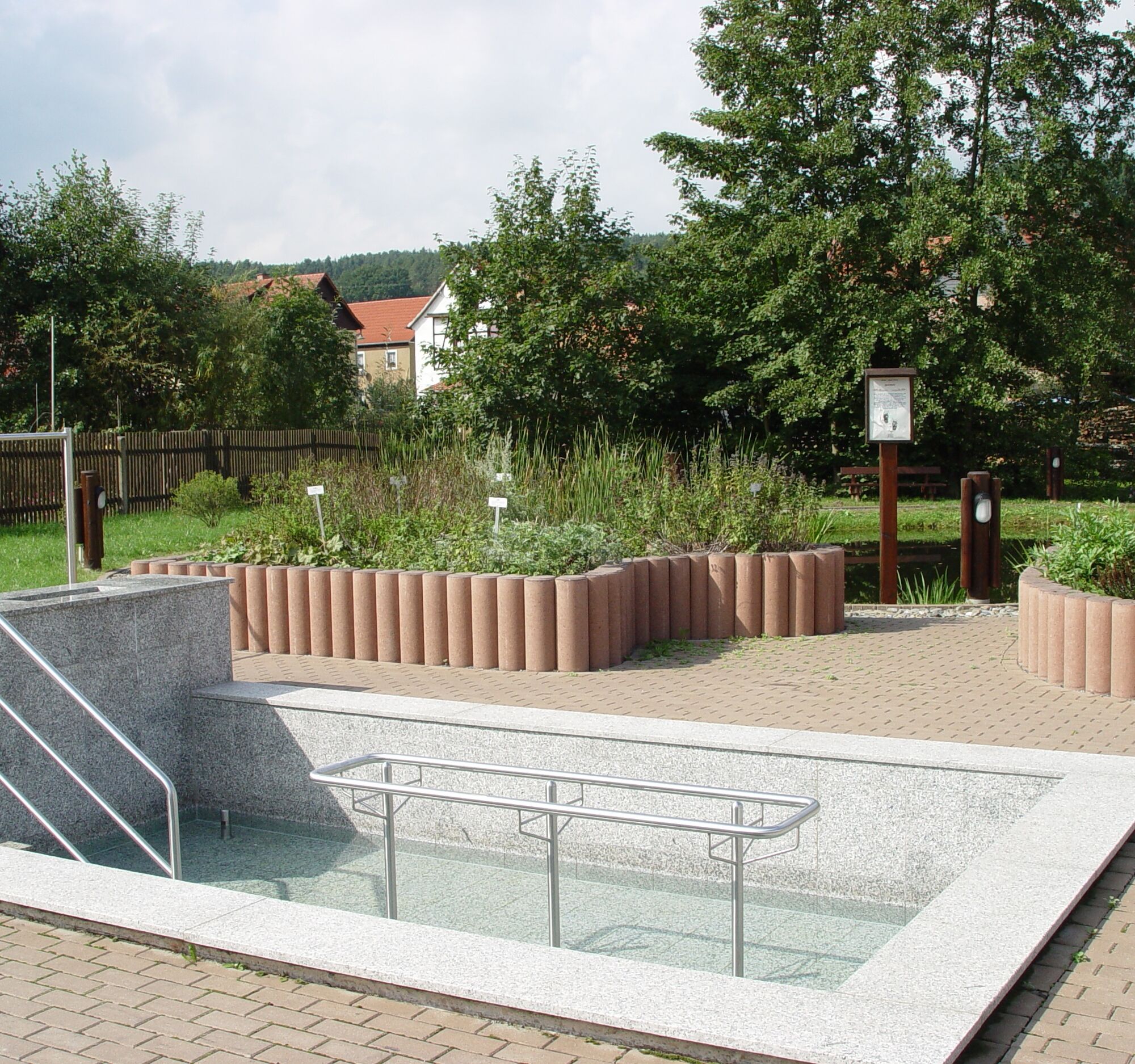
Looking right, we see the church tower of Tröbnitz. Along the street, we turn after about 300 m behind the first left house of Tröbnitz. A short meadow path leads to a pedestrian bridge over the Roda, continuing along a garden path to steps. Here, a Bible garden in the form of a fish is being created until summer 2014, allowing visitors to experience various stations from the life of Jesus. It has been lovingly designed artistically and horticulturally.
Afterwards, we climb the stairs and reach the entrance courtyard of the administrative community (formerly old school) and have after a few steps the parsonage or the endpoint of the pilgrimage – the church of Tröbnitz.
The church of Tröbnitz received its current shape in 1707/08 after being renewed in 1680. As early as the 13th century, a predecessor building in round form is said to have stood here. The western tower above the entrance, built with a curved dome, lantern top, and curved helmet, was constructed in 1792. Inside, besides the organ gallery (Poppe organ from 1778), two superimposed galleries run along the sides of the nave. As a former patronage church, it was also the burial place of the Herren v. Meusebach. This burial place is bricked up, but tombstones made of red sandstone – Albertine and Christoph v. Meusebach – are visible on the south wall. Worth seeing is a pre-Reformation carved figure recently found on the church tower. This Madonna with Child was restored in 2011 and hangs on the left east wall near the altar.
Tröbnitz - Untergneus
Starting off, we cross the “Körkensbrücke” (Rotehofbach) to the main street and keep left, then on the left pedestrian path along the main street and Herrengasse to Geisenhain. After crossing the fountain square (Maypole) and the L 1062 road at the end of Schulstraße, we reach the settlement road of Geisenhain. We walk along the settlement road of Geisenhain until again reaching L 1062, then turn right uphill past a rock cellar and 3 homes – below Bartelsberg – continuing on the so-called Holzweg. Behind a bench at the last curve before the forest edge – a view (turning around) to the Rothehofbach valley, Kahlaische Straße (Thuringian Porcelain Road), and Geisenhain. This path continues in the forest toward Wachtelberg – past the right junction to the bay – after about 450 m, forest path at elevation 302.1, left downhill toward Untergneus. After leaving the forest – bench with a view – downhill through meadows and fields (“Fuchsgelängen” and “die Grube”) to the church Untergneus (organ made by Justin E. Gerhardt in 1737).
Untergneus - Trockenborn
Passing left by the Haselanger pond, the "gentle variant" continues with a solid forest path. At Galgenberg (about 3 km), it meets the described route.
From the Galgenberg junction (formerly the gallows oaks of the Herren v. Meusebach were here) a gravel forest road – field path and Putschtenau – leads us through the forest on the right. After about 1.8 km, we turn left and hike straight on a forest path to the parking lot on road L 2319 from Seitenbrück direction to Trockenborn. Here ends also the Zippensgrund path coming from Rothenhofsmühle.
Left 150 m along the road toward Trockenborn, a forest path partly along the forest edge leads to Apfelberg. Benches there invite you to enjoy the view (from the Bismarck Tower, the Hohe Straße westward to the Weira heights).
At a wayside cross, we go right downhill to Trockenborn. The church tower shows the right way. The church “Mother Mary” from 1746 partly contains furnishings of historical personalities such as Queen of Hanover – stained glass windows, altar painting – painted by Duchess Agnes, organ – donated by Kaiser Wilhelm II, dome over the entrance, and more.
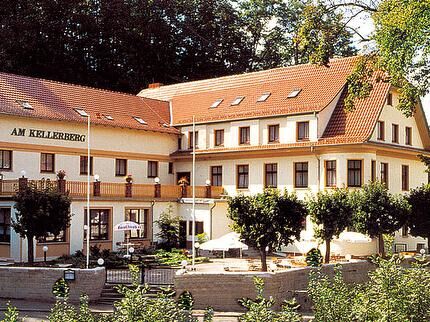
Overnight stays are possible in the old parsonage (Old Castle) and in the hotel “Kellerberg” as well as in the inn “Zum Schüsselgrund” in Wolfersdorf.
Trockenborn - Stanau
From the church, we go to the main street and leave it after about 200 m, turning left uphill on the second path and walk parallel to the main street past the cemetery continuing the path below Apfelberg to Wolfersdorf.
Opposite the cemetery – uphill above the street – is a forest area – the ducal graves of the last Duke Ernst II of Saxe-Altenburg with his sisters and last wife (Krähenhütte). After crossing the village street, we turn right in front of the water castle on the left pedestrian path along the hotel parking lot to the street to Stanau and walk over the Kurfürsten bridge.
Here we have a view over the ponds to the water castle “Joyful Return.” This was built 1547–1552 by the spouse Sybille of Kleve, wife of the last Ernestine Elector Johann Friedrich the Magnanimous during his imperial imprisonment. He founded the University of Jena. The castle served as the residence of the last Duke of Saxe-Altenburg Ernst II until 1955. Presently, the castle – privately owned – is extensively being restored.
Behind the Kurfürsten bridge, immediately right over a small iron grille bridge, begins the Historical Border Trail, leading about 1 km through the forest to the road at the Stanau mill farm. Before the bridge, turning right, following the brook past a large border stone from 1730, we lightly climb through the heath forest to the so-called “Gründel.” We turn left into the village of Stanau and continue straight.
The small church Stanau is Romanesque in three parts and has an organ by Silbermann student Friederici, protected as a monument. This resonant instrument is often played for concerts.
Stanau - Strößwitz
At the end of the village, the street climbs and leads as a forest path to the junction at the Moor-Rampenhütte (rest area). Turning right, the forest path leads to the viewpoint of the small Taubenberg. Do not yet take the right path toward Breitenhain here! At the junction, rescue point “Cursdorfer Eiche” (6 ways), the actual pilgrim route goes down the hill right toward Breitenhain.
About 200 m behind the Cursdorfer Eiche junction, on the right at the path edge we find the replica of the keystone, a medieval border stone between the Mainz and Naumburg bishoprics. (Back to the pilgrim route)
Shortcut option
Here, a shortcut of about 4 km is possible. This leads the main path straight over the Cursdorfer Eiche junction, keeping right for about 2 km through the forest to the connecting path Strößwitz–Pillingsdorf. (The route via Strößwitz is omitted.)
From the Cursdorfer Eiche junction (hunting stand), the pilgrim path goes down from the small Taubenberg into the Cursdorfer valley (pond chain + fisher spring), following it down to the street.
About 300 m before the street, a sign to a spring is shown. The water there is very refreshing. A detour about 200 m to the left and then right to the forest edge is worthwhile!
We must walk this street left toward Breitenhain about 400 m to the junction.
Here, you have the option, after about 300 m, to visit the church by walking up the half-timbered lined village street. The 1746-built hall church of Breitenhain with hipped roof and tower crowned by a weather vane with initials AR = Augustus Rex has an impressive Gothic winged altar from 1510 inside. From the street junction, we continue southward along the Saale-Orla hiking trail past many ponds to the forest-located Rappel pond, where a resting place invites you to linger.
Here begins the Weißacker nature reserve, which also stretches upward toward Mückergrund. We follow this forest path to Mückergrund, where after a chain of 5 fox ponds at a fork, the left uphill path leads to the Schutztrupp hut. Now we leave the forest and walk left on the lightly traveled connecting road Neustadt/Molbitz – Strößwitz. After about 600 m, we reach the small village Strößwitz. Here you can stop at two inns.
The St. Stephanus and St. Nicolaus church also belongs to the Trockenborn parish. Much old from the predecessor church remains, e.g., a Gothic carved altar – Saalfeld school from 1508, the brick fieldstone altar, the two bells from 1517 and 1806, and the gallery columns made from split growth wood, unique in Central Germany. It is also worth mentioning that the church clock from 1743, as in Breitenhain, has only one hour hand. Note also the beautiful viewpoint at the Strößwitz turning loop.
Strößwitz - Pillingsdorf
From Strößwitz, we walk downhill along the road and stay on the path going straight uphill at the curve, which leads us on the crest into the forest to Pillingsdorf. At a junction, the mentioned shortcut route connects to this path.


Sturdy footwear
Rainwear
GPS navigation device or smartphone
First aid kit
Drink supply
The stages should be planned according to your fitness due to many ascents. Weather can change quickly in the valley villages, with hot temperatures reached in the summer.
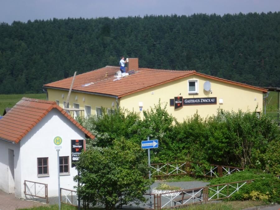
From the Triptis motorway exit, drive on B281 towards Pößneck. Use the Triptis center exit and drive via Döblitz, Hasla, Zwackau to Pillingsdorf.
From Triptis station, you can take bus lines 40, 830, and 832 to Zwackau.
From Neustadt Orla station, hikers can take bus line 832 to Zwackau and onward to Pillingsdorf.
For travel planning, please use the Deutsche Bahn travel portal at the following link:
→ Travel to Pillingsdorf
Please enter your starting point and desired travel time in the search mask.
Free parking is available for guests at the bowling alley and inn in Pillingsdorf. (Google-NAV point)
Visiting the historic churches is always worthwhile, and a variety of small museums are also located nearby.
Popularne wycieczki w okolicy
-
4,0
Zur Jagdanlage Rieseneck bei Hummelshain
światłoWędrówka 5,21 km -
5,0
Zwischen Leubengrund und Hummelshain
światłoWędrówka 9,28 km -
5,0
Zum Bismarckturm und zu den Fuchsteichen
światłoWędrówka 6,67 km -
Circular hiking trail - Heath circular trail - Pößneck - Orla valley
średniWędrówka 14,2 km -
Pillingsdorf circular hike - Zwackau - Thuringia
średniWędrówka 12,7 km -
Rabenschüssel
światłoWędrówka 5,75 km -
Adventure trail at Bismarck Tower
światłoTrasa tematyczna 1,46 km -
Circular route - Tälerdörfer bike route - Triptis
średniJazda na rowerze 32,0 km -
Zeitzgrund bis Stadtroda
światłoWędrówka 18,1 km -
Orla cycling route - Thuringia
średniJazda na rowerze 35,2 km
Wędrówki i tropienie


Nie przegap ofert i inspiracji na następne wakacje
Twój adres e-mail została dodana do listy mailingowej.





