


Border Hiking Trail Sonneberg District
Poziom trudności: T1
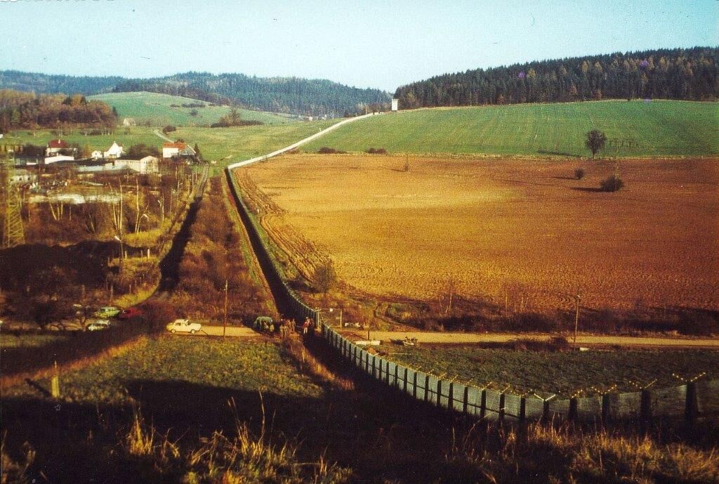
For more than 30 years, Germany was divided by an inhumane border. In the shadow of the death strip, nature was able to develop largely undisturbed. Many rare animal and plant species found refuge here....
For more than 30 years, Germany was divided by an inhumane border. In the shadow of the death strip, nature was able to develop largely undisturbed. Many rare animal and plant species found refuge here. Thus, a valuable biotope network—the Green Belt—has emerged. The former border strip with its total length of 1,393 km thus represents the largest forest and open-land biotope network in Central Europe—a necklace of nature.
Thuringia has with 763 km the longest section of the former inner-German border and thus carries a special responsibility. At the end of 2018, the "Green Belt Thuringia" was designated as a National Natural Monument (NNM). 89 km of the former border run along the edge of the Sonneberg district. The patrol path of the DDR border troops was integrated into a tourist trail system and now opens up the National Natural Monument "Green Belt Thuringia".
The border hiking trail opens up the still existing border security facilities. These are testimony to recent history and culturally and historically of great importance.


The hiking trail follows for the most part the well-preserved patrol path. It leads from Rennsteig near Spechtsbrunn over the foothills of the High Thuringian Slate Mountains through the Franconian Forest and follows there the historic lord and trade route from Nuremberg to Leipzig. Over the saddle pass near Neuenbau, one reaches the Tettau valley and Heinersdorf. Near Neuhaus-Schierschnitz, visitors find remains of former coal mines. To the south, you enter the scattered settlement of the Wustungen. Around the dominant Mupperg, you cross the significant "Burnt Bridge" between Sonneberg and Neustadt – a medieval long-distance road fortification. Here, at the time of reunification, the abolition of inner-German border controls between the two German states was decided.
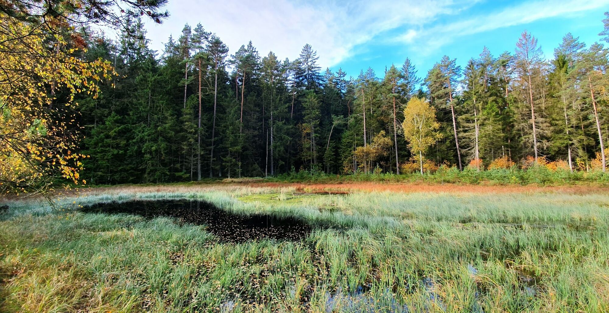
Through various nature reserves, the path climbs steeply up to the Generalsblick. It is a good spot to rest there. With constant ups and downs, one reaches the razed village of Korberoth and the inner-German flood protection model project Froschgrundsee. In the summer half-year, the flower-rich calcareous dry grasslands toward Emstadt are inspiring. Through the Görsdorfer Heath, on lonely paths, one reaches the Border Tower Museum at the A73 motorway junction Eisfeld South, housed in a former border crossing point.
Tak
The border hiking trail in Sonneberg district is in some sections away from settlements; therefore, sufficient provisions must be carried.
The patrol path was built as a post path of the border troops, easy to find but sometimes difficult to traverse.
The region is accessible on the A73 via the Eisfeld South junction. From there, the B281 leads up to the Rennsteig and further to Spechtsbrunn and the B89 towards Kronach.
By train (South Thuringia Railway) to the station Eisfeld or Neuhaus am Rennweg and then on foot via the Rennsteig to Spechtsbrunn. Sonneberg is electrified connected to the Bavarian rail network. Buses depart from the station to the surrounding towns.
At the start, finish, and side entrances, there are sufficient free parking spaces available.
T1
The Nature Conservation Foundation Thuringia constantly offers free guided hikes in the National Natural Monument Green Belt Thuringia.
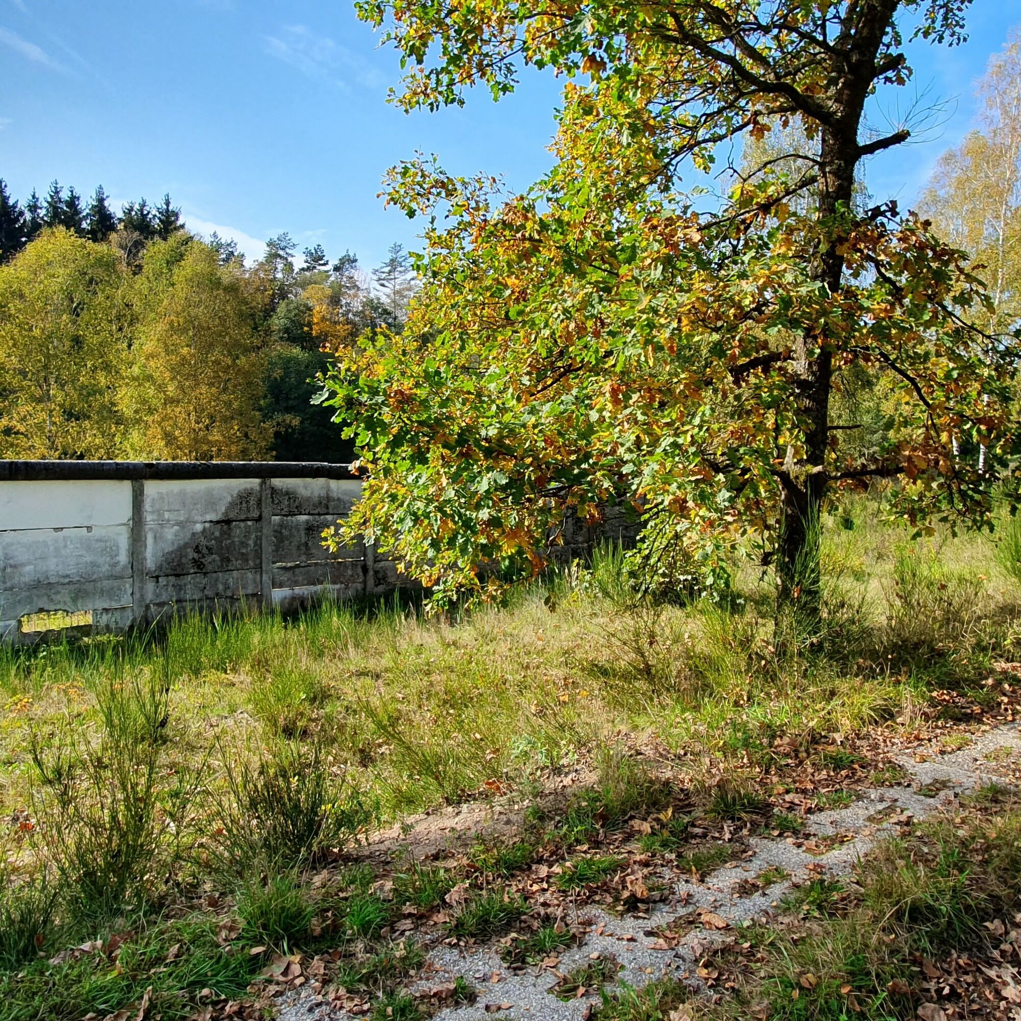
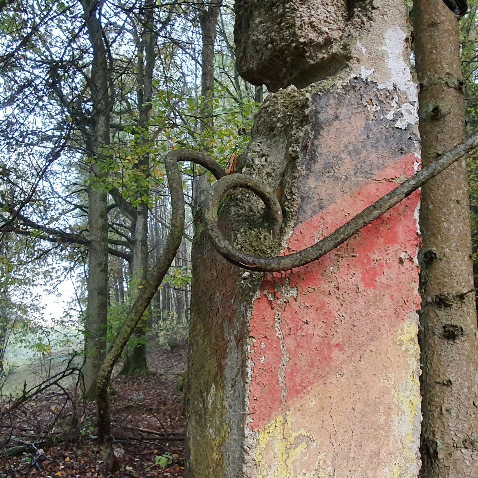
The remains of the border walls in Heinersdorf and Görsdorf today recall the German division and lie directly on the border hiking trail in the Sonneberg district.
Kamery internetowe z trasy
Popularne wycieczki w okolicy
-
Teufelskanzel-Saulochklamm-Einberg
średniWędrówka 7,73 km -
Nature Park Trail - Griffel Path in the Thuringian Forest
ciężkiTrasa tematyczna 6,45 km -
Rundweg Muppberg Ne2
średniWędrówka 3,46 km -
Circular Hike - "Schaumberger Land Panorama Trail" - Eisfeld - Thuringian Forest
ciężkiWędrówka 74,2 km -
Prinzregentenweg
średniWędrówka 4,19 km -
GeoTrail - SlateKINGDOM - Sonneberg district
średniTrasa tematyczna 22,7 km -
NE1 Auf dem breiten Weg
średniWędrówka 4,77 km -
Circular Hiking Trail Sonneberg
ciężkiWędrówka 15,2 km -
Circular hiking route - No. 2 around Steinach - Thuringian Forest
średniWędrówka 11,8 km -
Elfi's Fountain Journey
światłoWędrówka 3,96 km
Wędrówki i tropienie


Nie przegap ofert i inspiracji na następne wakacje
Twój adres e-mail została dodana do listy mailingowej.