Nawigacja
Pobierz tę trasę na swój telefon komórkowy
Mapa
San Gottardo cinque passi Bike (SwitzerlandMobility 85)
ciężki
Mountainbike
152,92 km
Zeskanuj kod QR i rozpocznij nawigację w aplikacji bergfex.
QR Code
Wędrówki i tropienie

San Gottardo cinque passi Bike (SwitzerlandMobility 85)

Odległość
152,92 km
Czas trwania
20:15 h
Ascent
5 256 hm
Poziom morza
891 - 2 506 m

Poziom trudności: S3
Ścieżka do pobrania
Mapa
San Gottardo cinque passi Bike (SwitzerlandMobility 85)
ciężki
Mountainbike
152,92 km

Zdjęcia naszych użytkowników

The first part of the 120 kilometres starts in Switzerland’s sun trap and takes you down into the valley: this stage connects the Valle Leventina with the sun-drenched Blenio Valley. From Piotta, the steep...

Opis

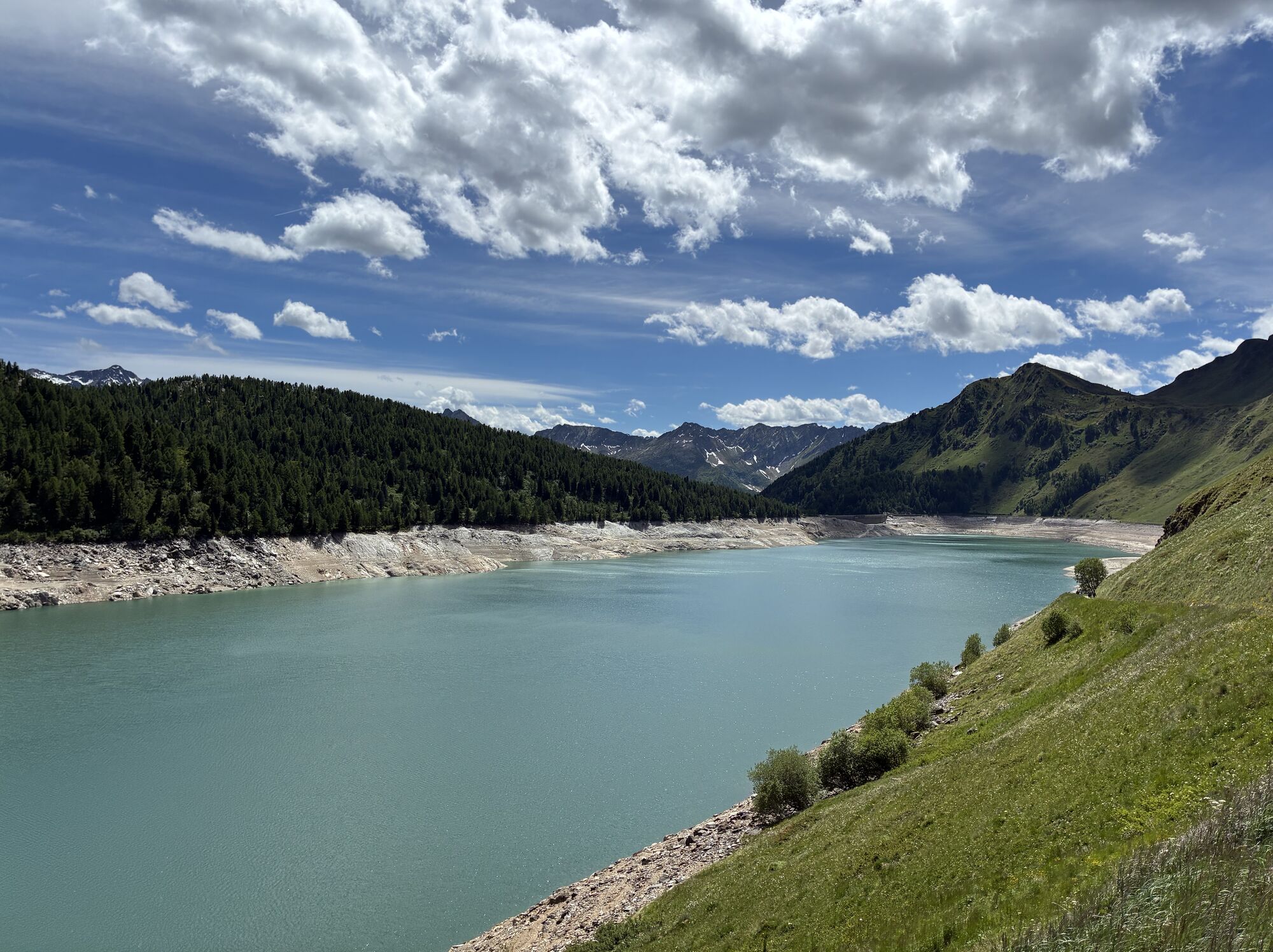
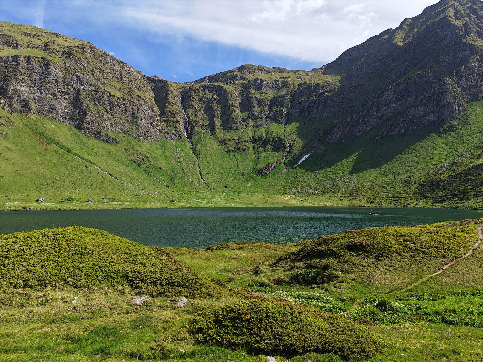
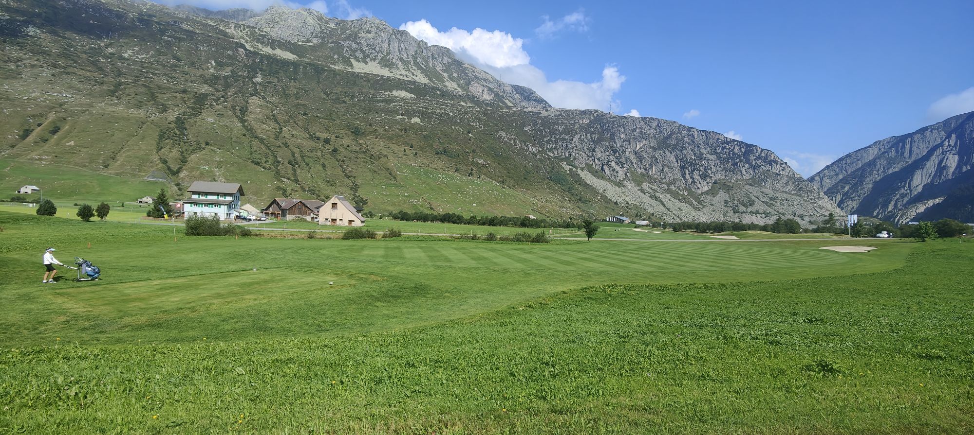
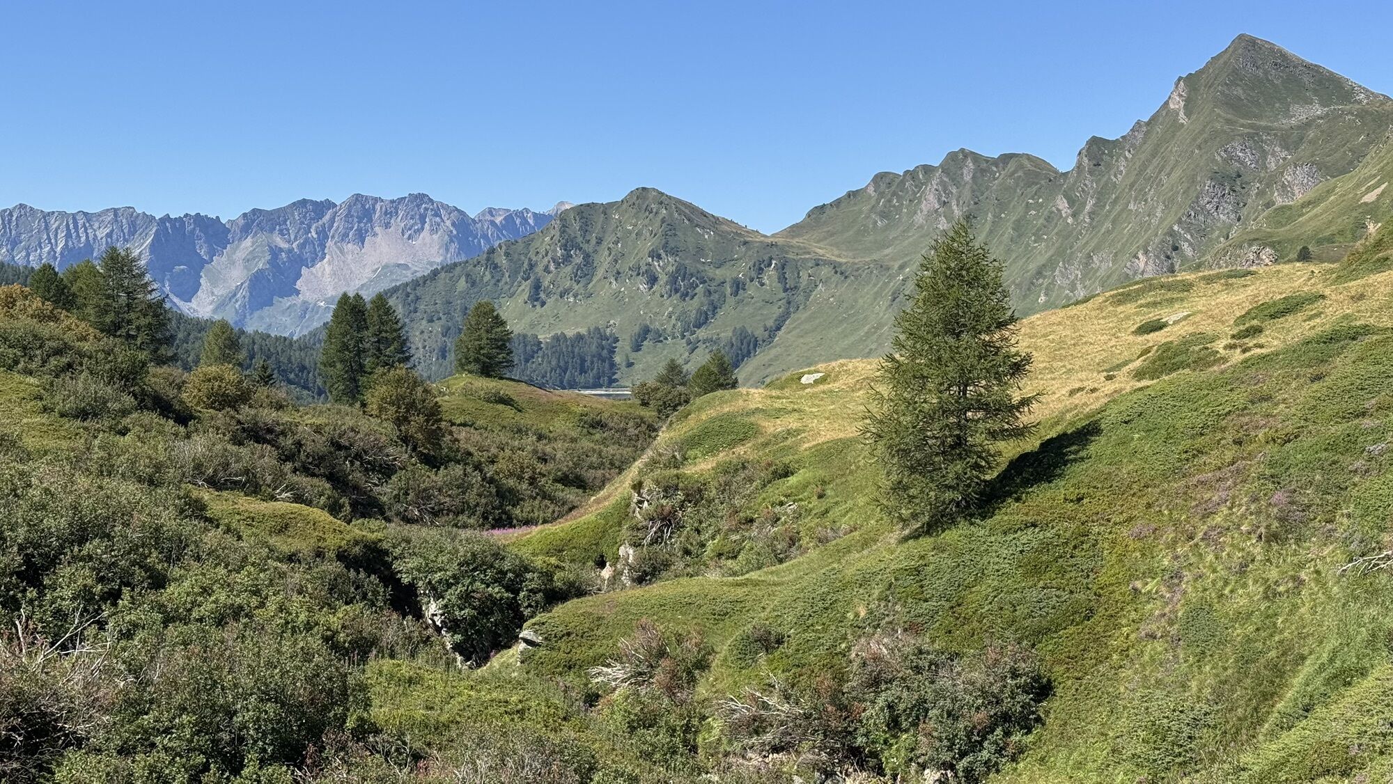
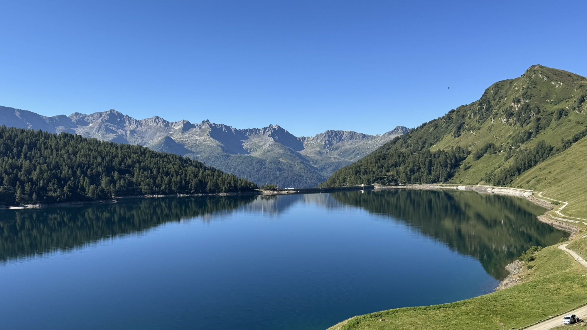
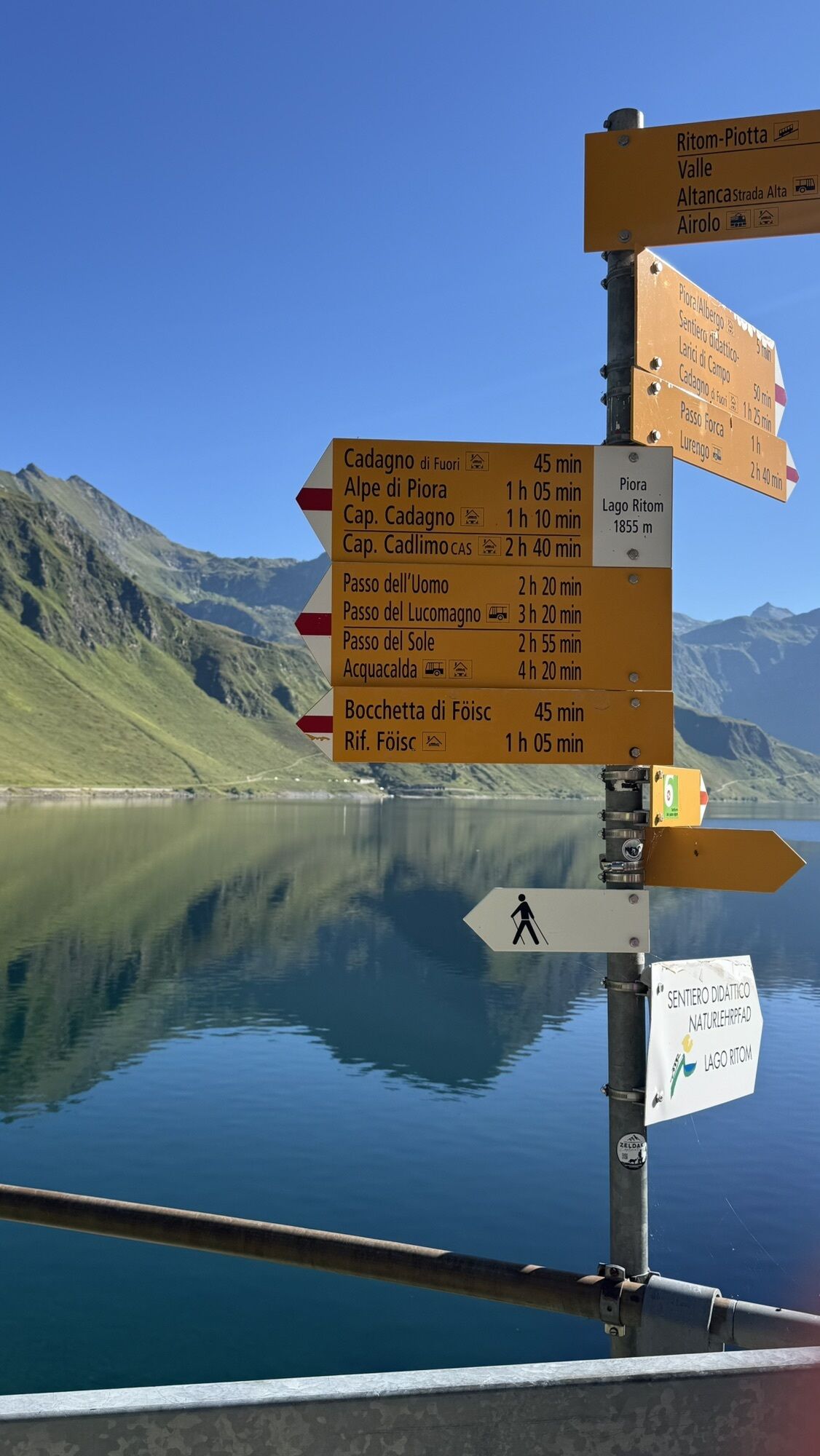
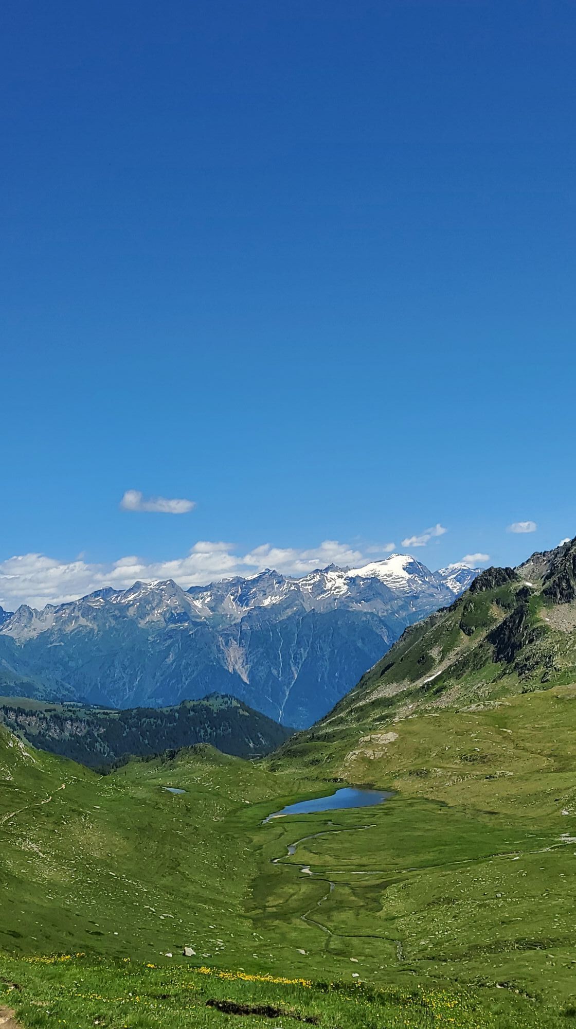
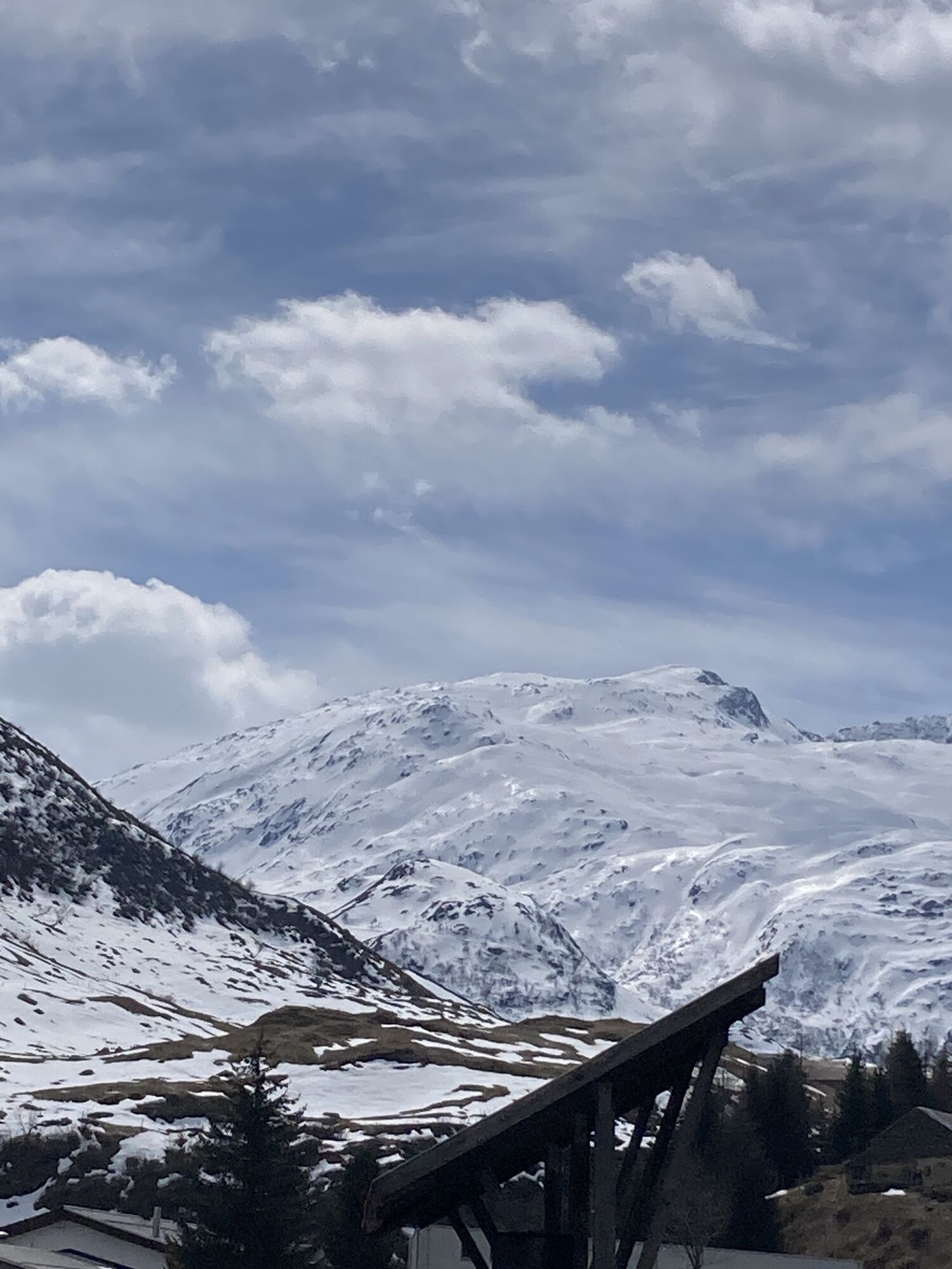
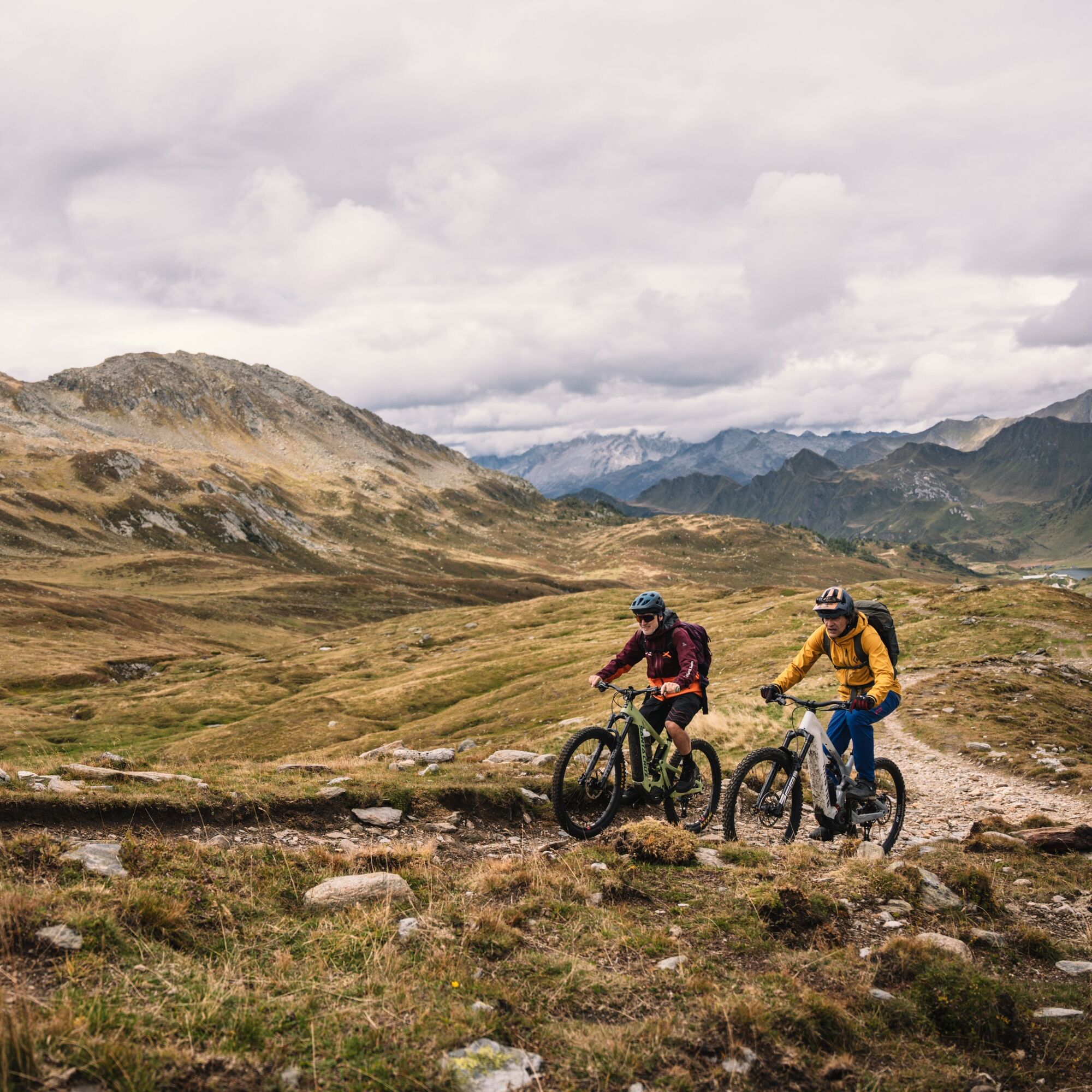
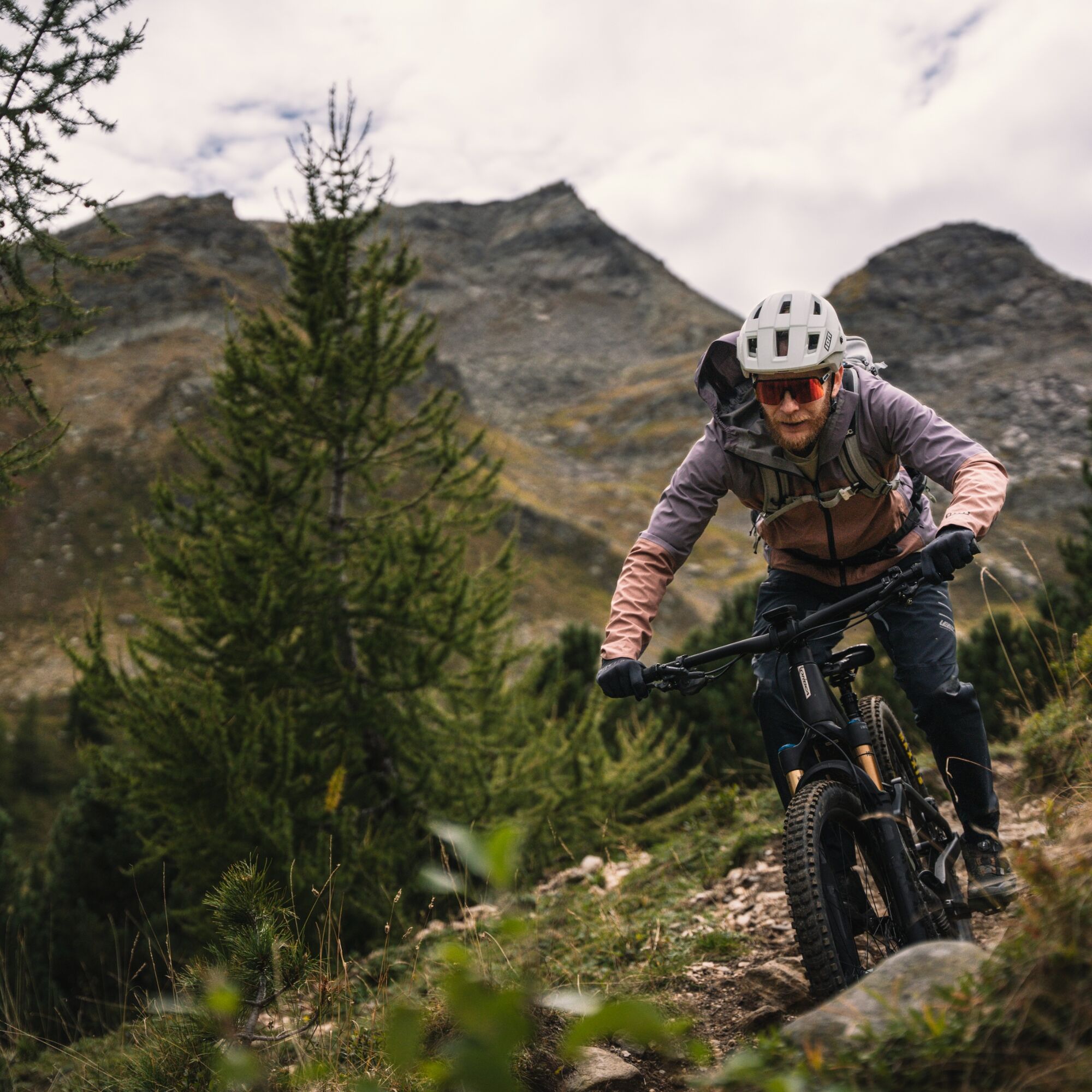
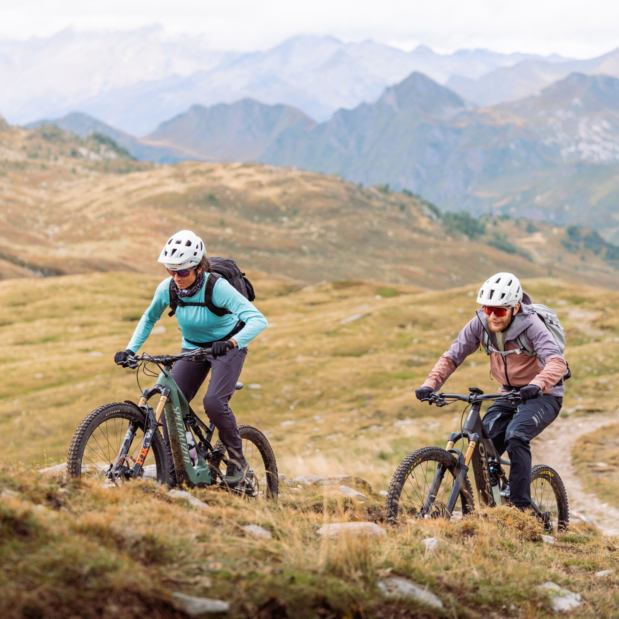
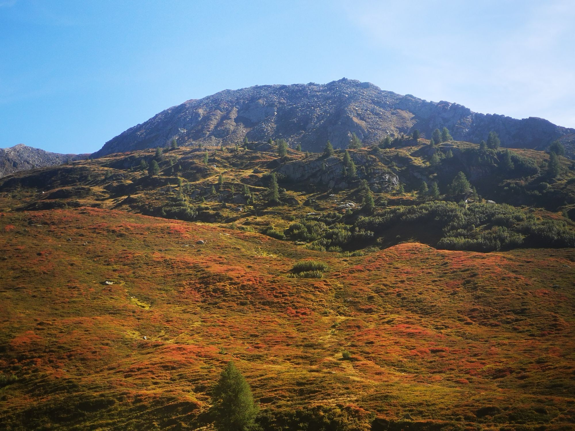
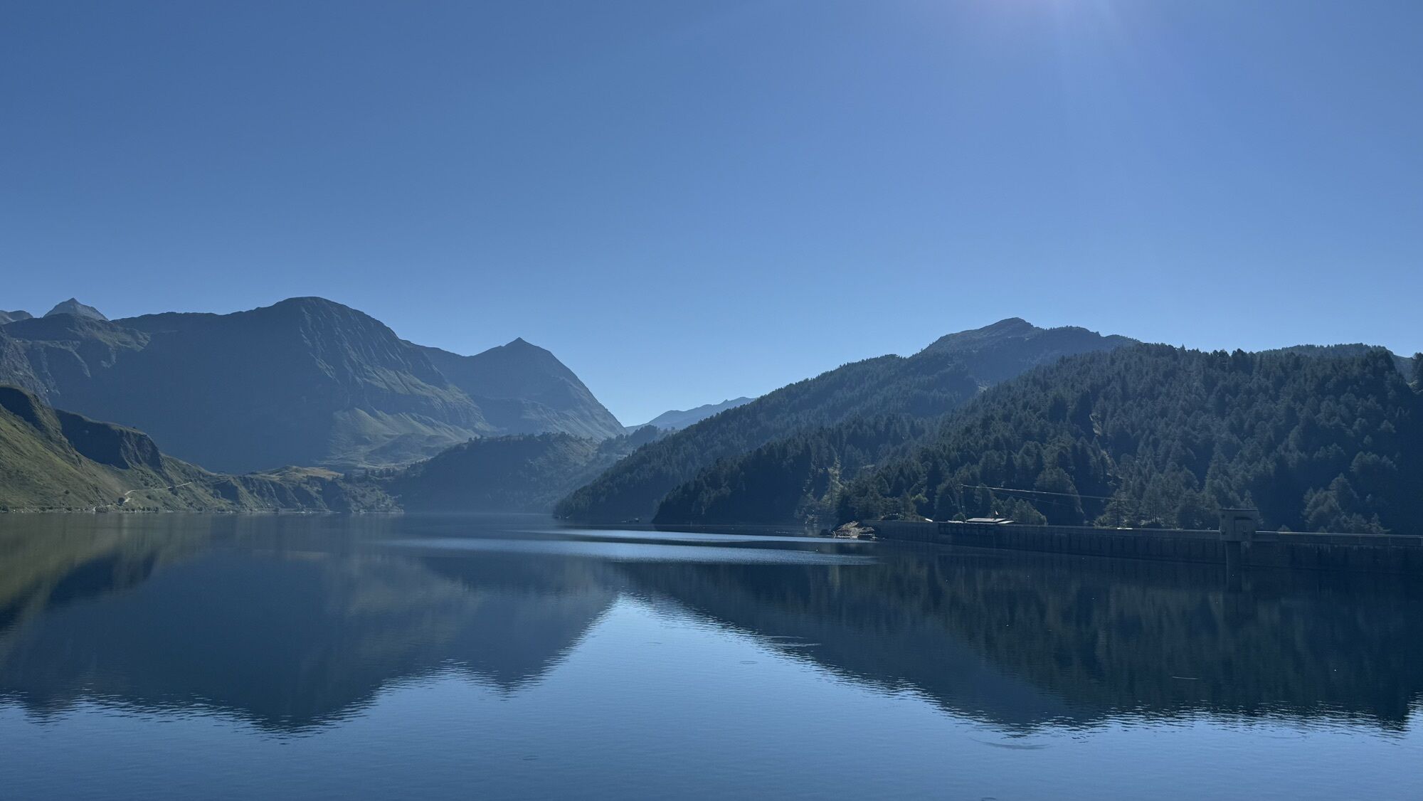
The first part of the 120 kilometres starts in Switzerland’s sun trap and takes you down into the valley: this stage connects the Valle Leventina with the sun-drenched Blenio Valley. From Piotta, the steep cog railway takes you up to another world: into the dreamy Piora Valley where you see Lake Ritom and other small lakes. The descent across the Passo del Sole to Olivone is spectacular.

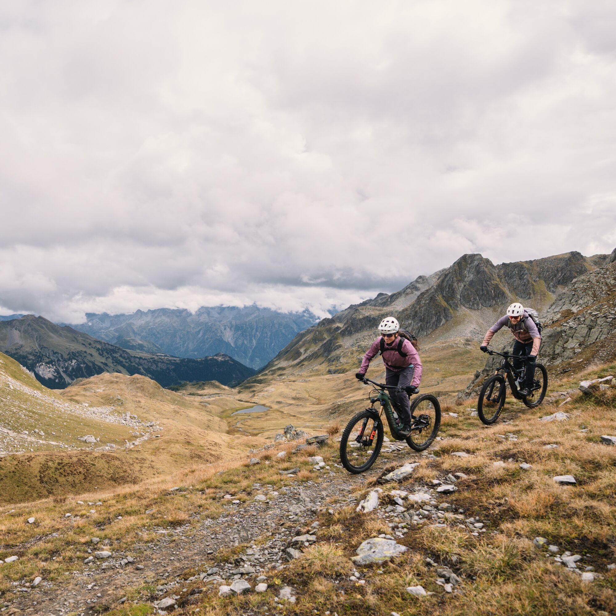
Second stage, second descent: arriving at Lukmanier by postbus, you really get started. On the historical Via Lucmagn we follow in the footsteps of princes and their armies, traders, pilgrims and scholars. The journey takes you past the reservoir and over its wall, and on side roads from Val Medel. The last part runs along the Vorderrhein to Disentis via Mumpé Medel.

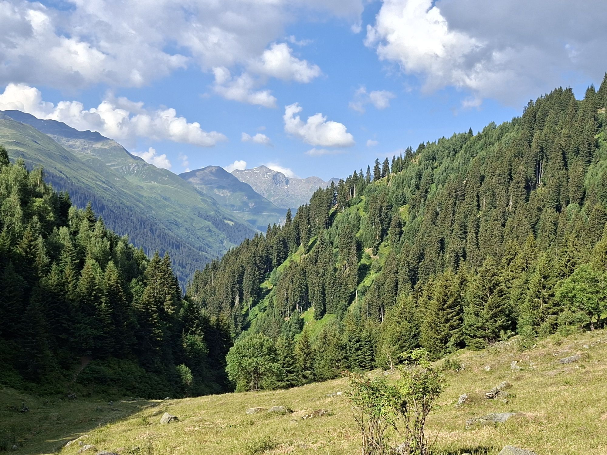
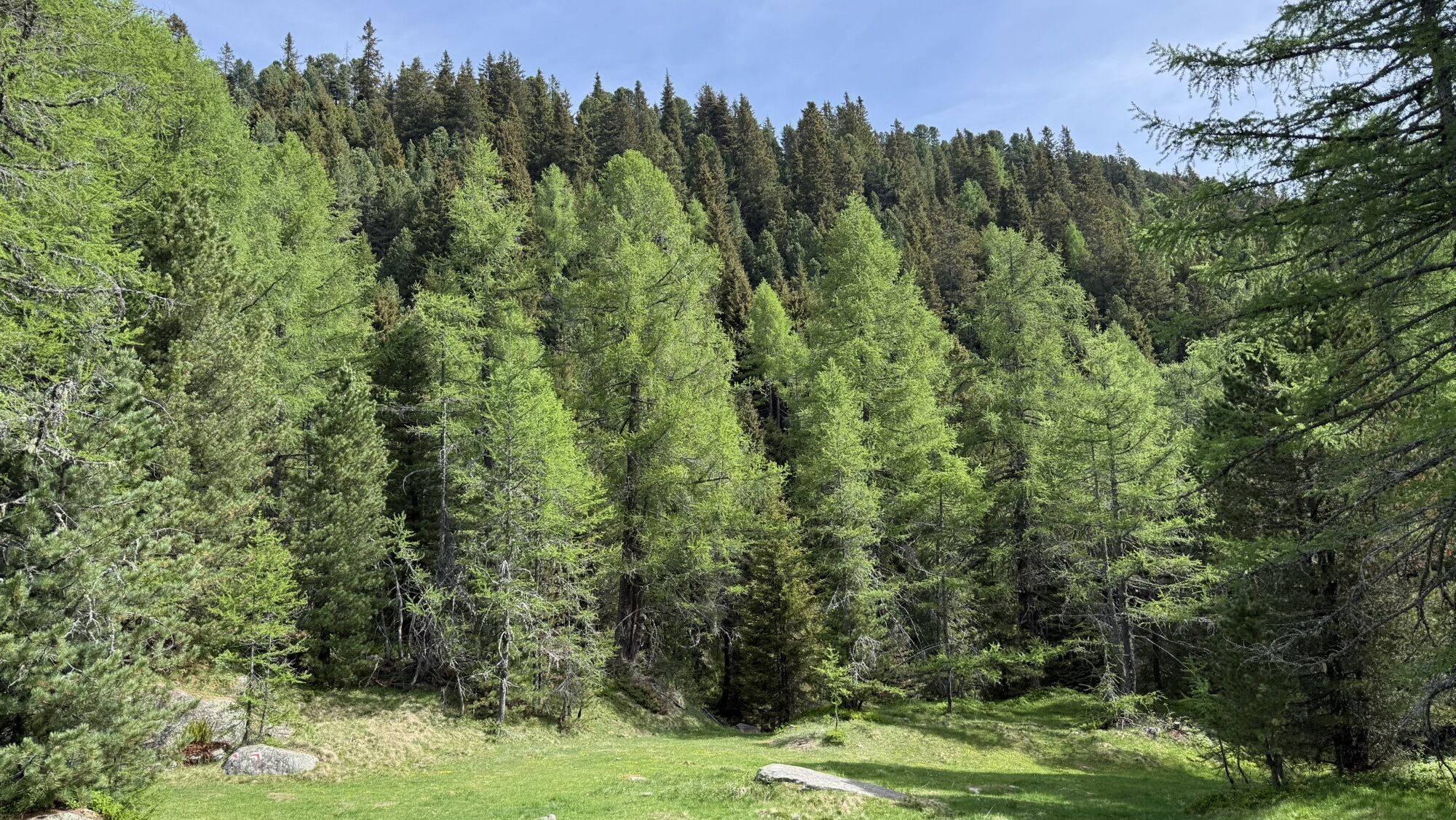
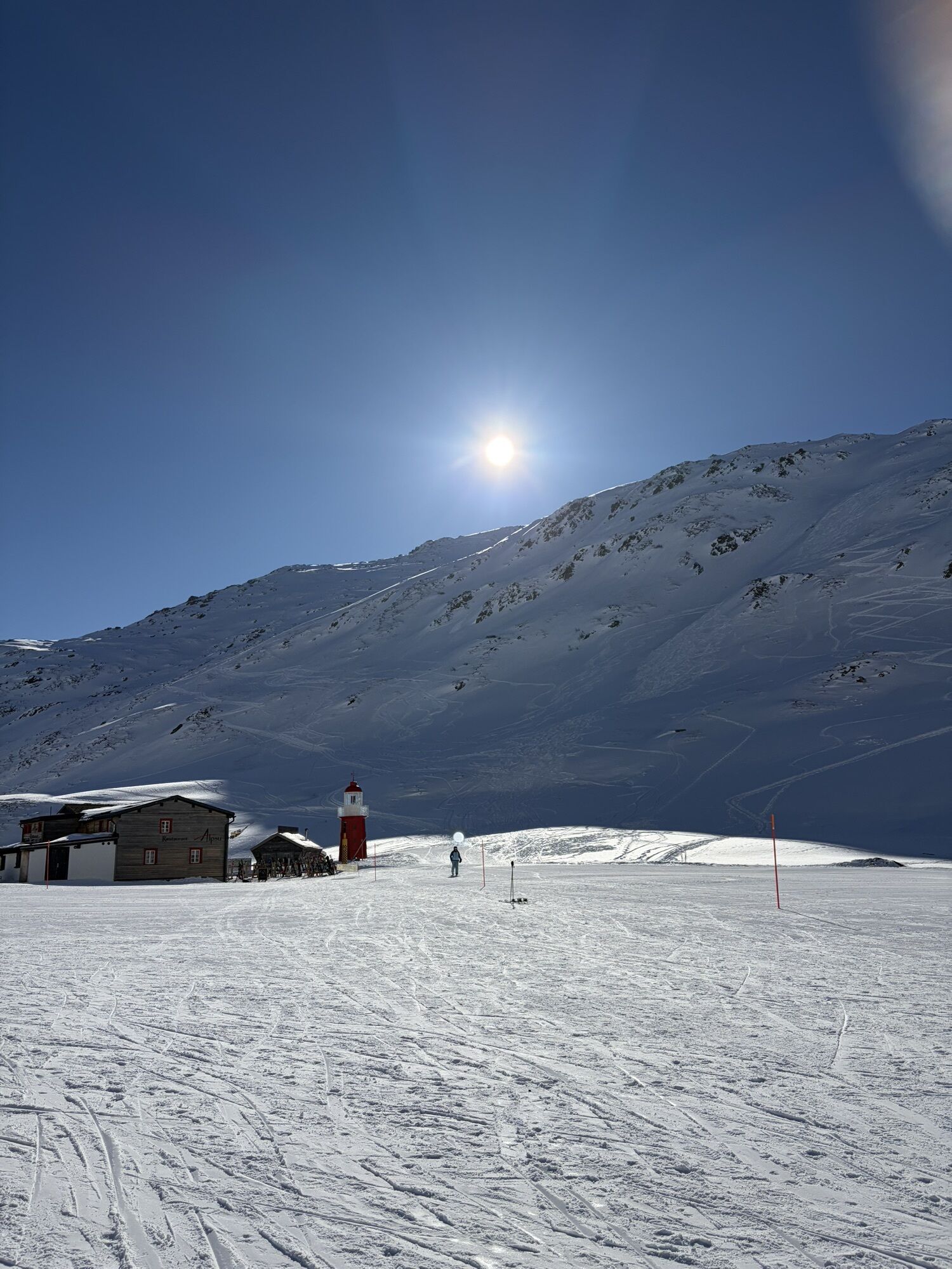
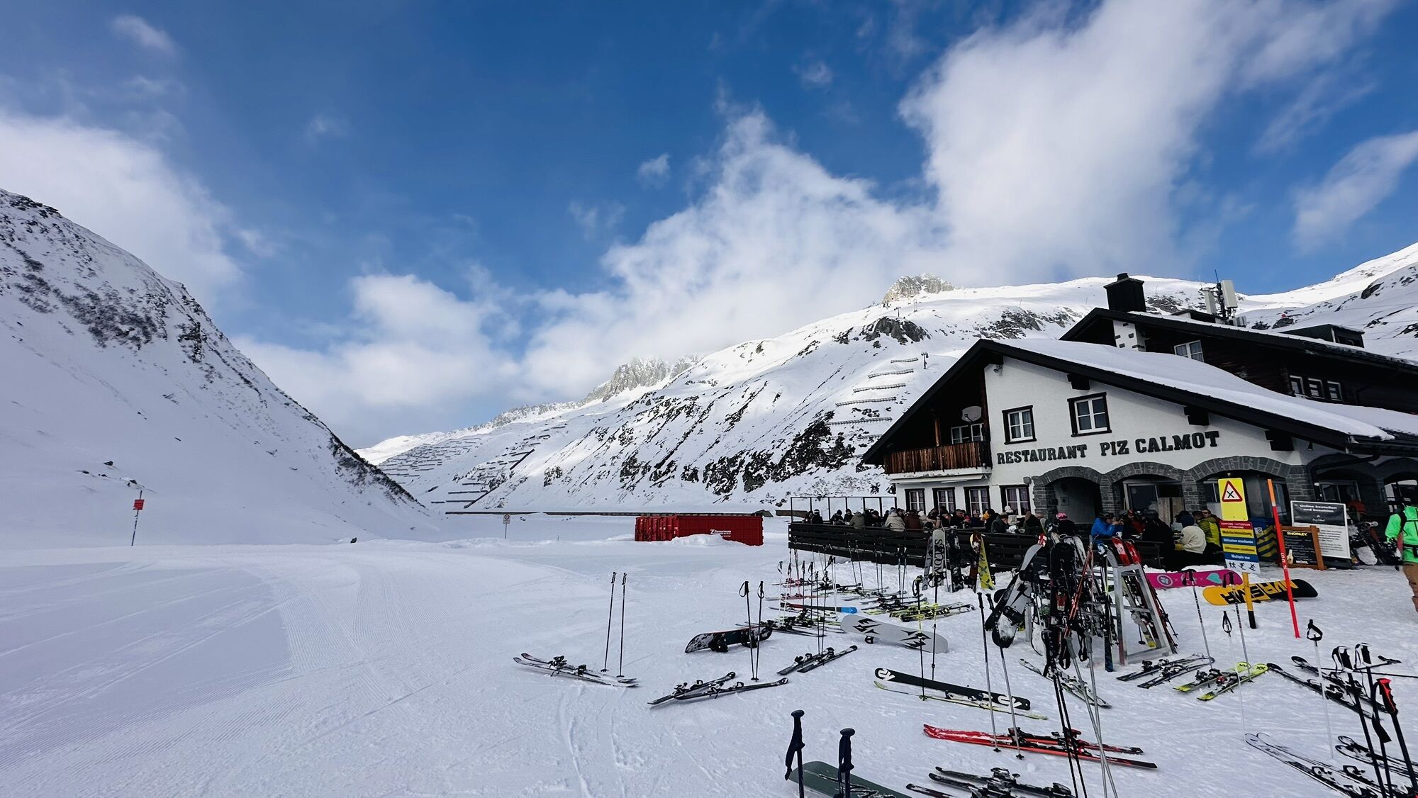
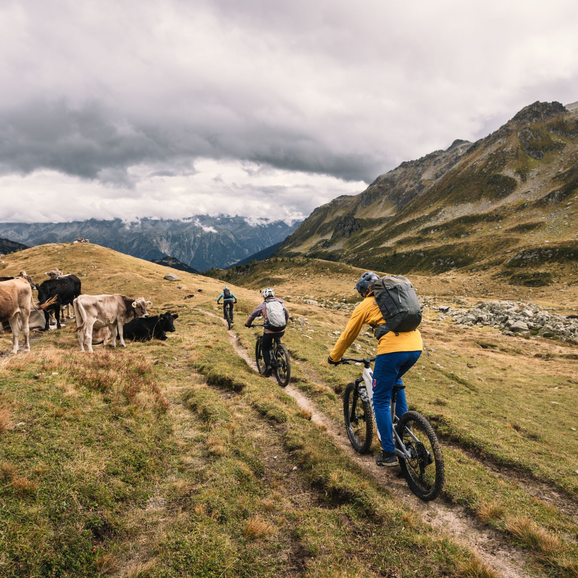
From Caischavedra, you reach the panoramic mountain of Bostg with its wealth of flowers. Once you have had enough of admiring the panorama, you can enjoy the trail down to Sedrun. The train that goes to the next pass is waiting here. But has the course been set incorrectly? The red lighthouse on the Oberalp Pass looks a little out of place, and this makes it a popular photo opportunity for tourists. Of course, we are here for the descent: past Lake Oberalp and green pastures, it winds down to Nätschen, where it is time to roll out onto the pass road.

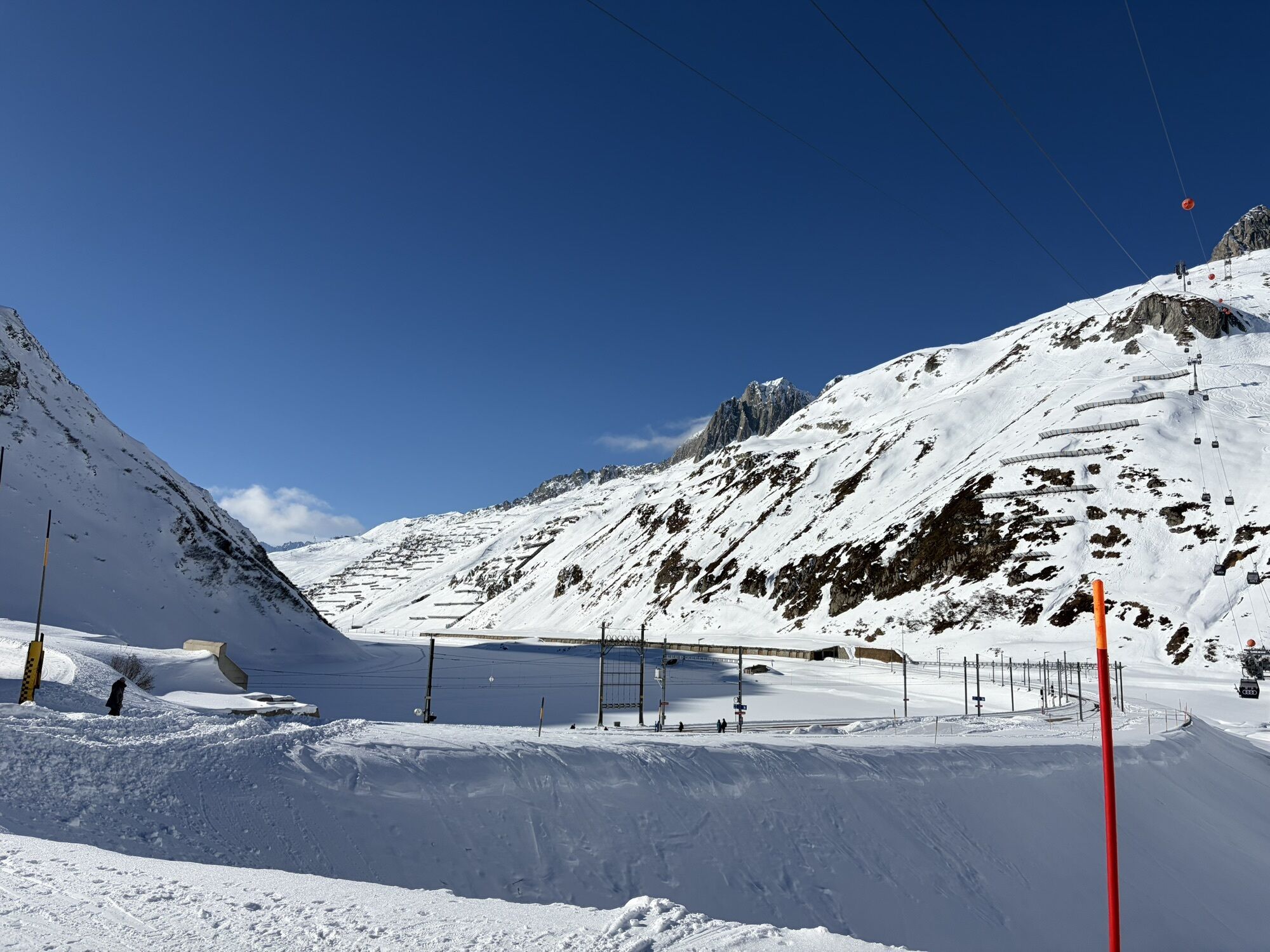
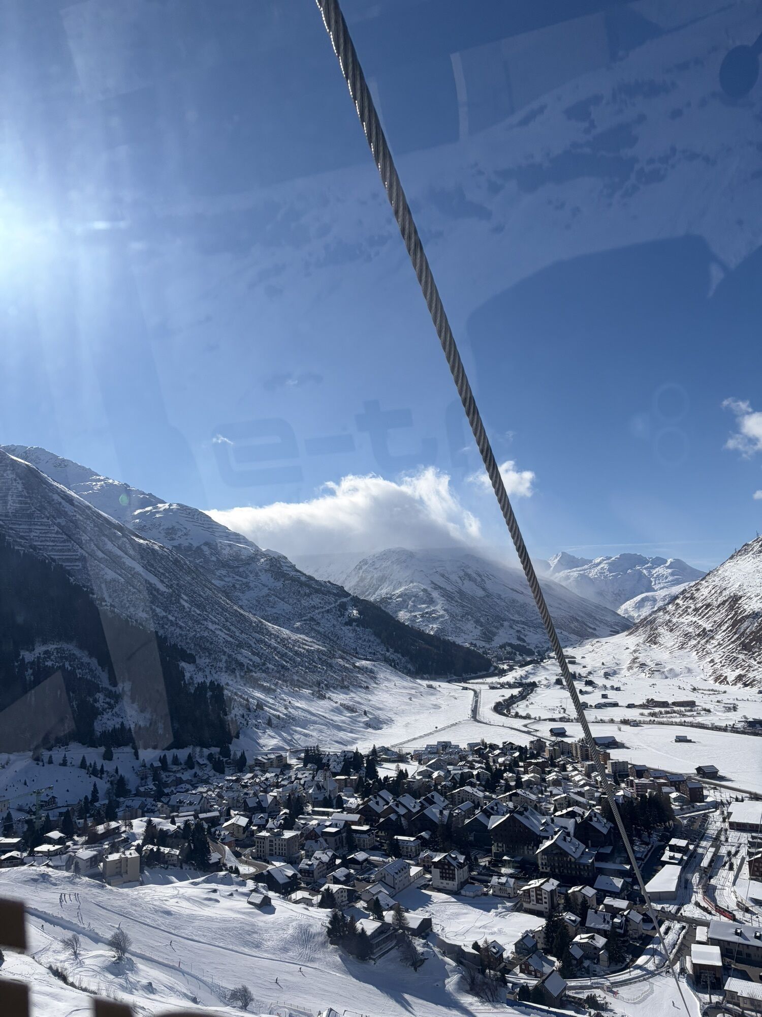
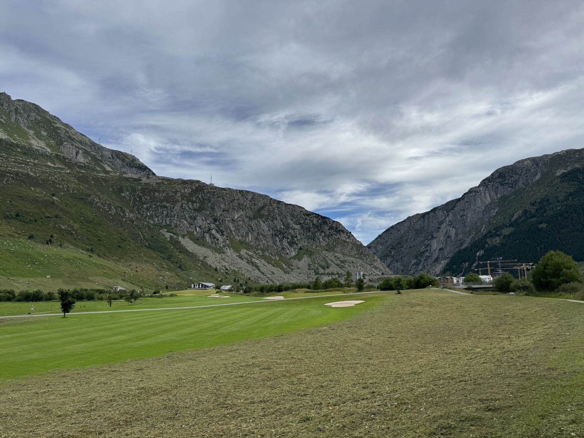
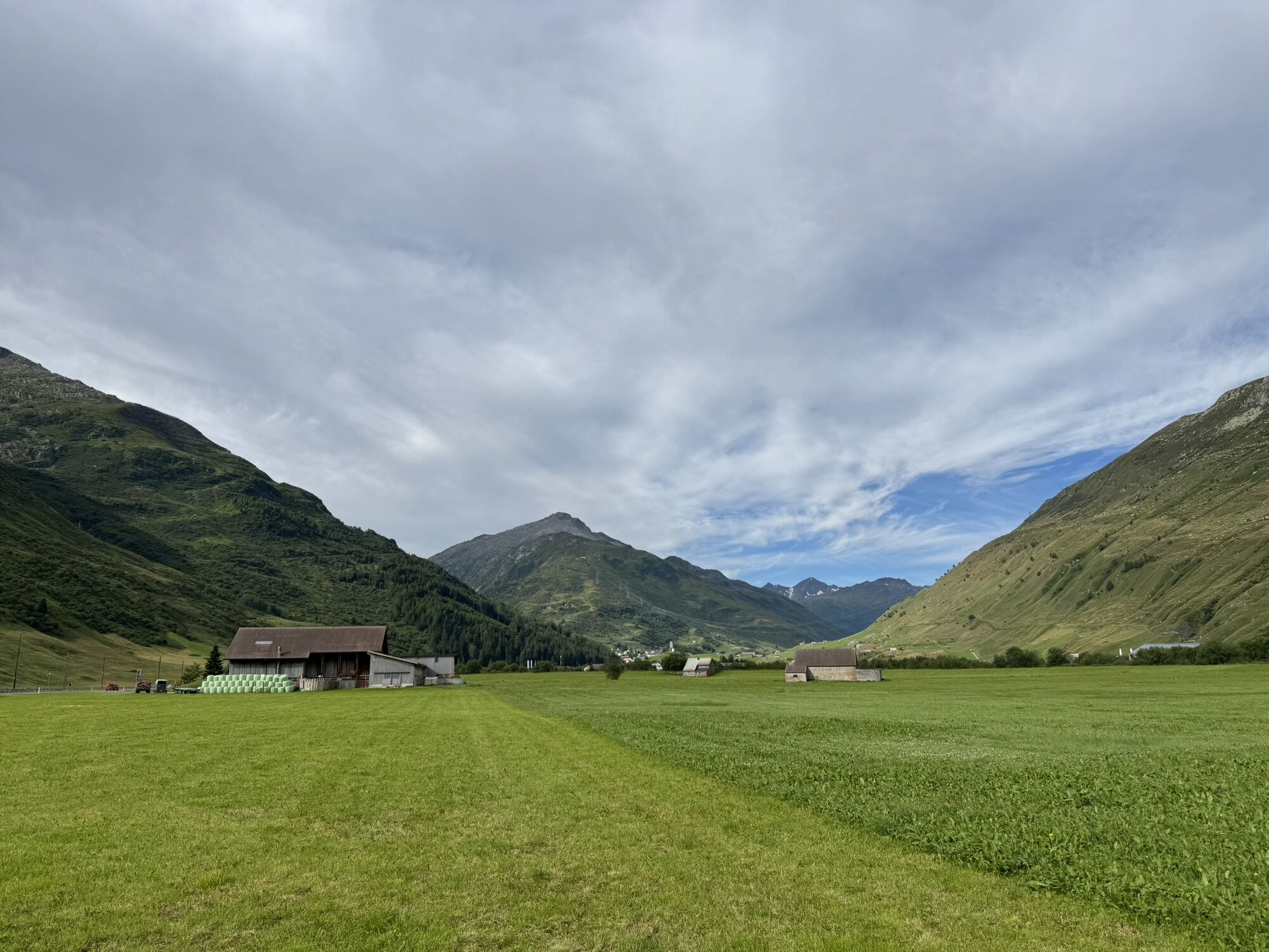
After a section through the Urseren Valley and past the smallest village in Switzerland, the postbus takes you to the Furka Pass. Partly flowy and easy, and then technical and more demanding again, you go down to Goms. It is worth stopping at the viewpoints along the way. The pass tour around the Gotthard area, which is approximately 120 kilometres long, currently ends in Oberwald.

Trasa
Capanna Cadagno
(1 987 m)
Schronienie
13,3 km
Madonna delle Grazie
(1 031 m)
Miejsce kultu
34,9 km
Matergia
(1 410 m)
Rozliczenie
69,4 km
Bostg
(1 995 m)
Szczyt
90,4 km
Camischolas
(1 427 m)
Wioska
95,5 km
Pfarrkirche Heilig Kreuz
(1 543 m)
Miejsce kultu
127,3 km
Kirche Heilig Kreuz
(1 369 m)
Miejsce kultu
152,2 km
Trasa
Mapa
San Gottardo cinque passi Bike (SwitzerlandMobility 85)
ciężki
Mountainbike
152,92 km
Airolo
(1 142 m)
Stacja kolejowa
0,0 km
Muron
(1 161 m)
Sąsiedztwo
0,6 km
Oratorio di Sant'Antonio abate
(1 175 m)
Miejsce kultu
1,1 km
Valle
(1 181 m)
Rozliczenie
1,1 km
Madrano
(1 161 m)
Rozliczenie
1,8 km
Oratorio dei Santi Gervasio e Protasio
(1 159 m)
Miejsce kultu
1,8 km
Oratorio di Santa Maria Vergine
(1 089 m)
Miejsce kultu
2,4 km
Sórt
(1 047 m)
Korytarz/teren
3,8 km
Piotta
(1 007 m)
Wioska
6,2 km
Capanna Cadagno
(1 987 m)
Schronienie
13,3 km
Lareccio
(1 909 m)
Rozliczenie
22,4 km
Alpe Pian Segno
(1 668 m)
Rozliczenie
25,1 km
Segno
(1 656 m)
Korytarz/teren
26,3 km
Campra di Dentro
(1 421 m)
Korytarz/teren
28,7 km
Camperio
(1 226 m)
Rozliczenie
33,6 km
Madonna delle Grazie
(1 031 m)
Miejsce kultu
34,9 km
Sommascona
(1 025 m)
Rozliczenie
34,9 km
Olivone
(900 m)
Wioska
36,6 km
Relais Lucomagno
(950 m)
Restauracja
37,7 km
Ospizio
(1 200 m)
Restauracja
42,0 km
Camperio
(1 226 m)
Rozliczenie
42,5 km
Centro Pro Natura Lucomagno
(1 755 m)
Restauracja
51,0 km
Hospezi S. Maria
(1 919 m)
Restauracja
55,3 km
Sogn Gions
(1 599 m)
Rozliczenie
64,6 km
Cascada Fimatsch
(1 496 m)
Wodospad
65,8 km
Fuorns
(1 484 m)
Rozliczenie
67,5 km
Acletta
(1 421 m)
Korytarz/teren
68,7 km
Matergia
(1 410 m)
Rozliczenie
69,4 km
Drual
(1 412 m)
Rozliczenie
69,7 km
Pali
(1 330 m)
Rozliczenie
71,0 km
Mutschnengia
(1 407 m)
Rozliczenie
72,3 km
Plaun Verd
(1 415 m)
Korytarz/teren
74,2 km
Begl Sogn Martin
(1 347 m)
Korytarz/teren
74,5 km
Mumpé Medel
(1 304 m)
Wioska
75,1 km
Sum Crusch
(1 275 m)
Korytarz/teren
75,2 km
Plaun da Haida
(1 053 m)
Korytarz/teren
79,5 km
Raveras
(1 104 m)
Sąsiedztwo
80,5 km
Disentis/Mustér
(1 130 m)
Stacja kolejowa
80,5 km
Disentis/Mustér
(1 107 m)
Wioska
80,6 km
Baselgia S. Gion
(1 147 m)
Miejsce kultu
80,8 km
Sontga Catrina
(1 216 m)
Miejsce kultu
81,9 km
S. Catrina
(1 223 m)
Stacja gondoli
82,0 km
Steak Houses Chevrina
(1 219 m)
Restauracja
82,1 km
Maria Immaculata
(1 290 m)
Miejsce kultu
83,0 km
Acletta
(1 287 m)
Rozliczenie
83,0 km
Caischavedra
(1 850 m)
Stacja gondoli
86,4 km
Caischavedra
(1 869 m)
Stacja gondoli
86,9 km
Bostg
(1 995 m)
Szczyt
90,4 km
Bostg
(1 940 m)
Korytarz/teren
90,6 km
Sedrun
(1 406 m)
Wioska
94,2 km
Sedrun Salins
(1 479 m)
Stacja gondoli
94,8 km
Sedrun
(1 441 m)
Stacja kolejowa
95,5 km
Camischolas
(1 427 m)
Wioska
95,5 km
Zarcuns
(1 422 m)
Wioska
96,2 km
Rueras
(1 423 m)
Wioska
97,5 km
Sudada
(1 481 m)
Restauracja
98,9 km
Dieni
(1 452 m)
Stacja kolejowa
98,9 km
Selva
(1 531 m)
Rozliczenie
101,6 km
Tschamut
(1 644 m)
Rozliczenie
102,9 km
Gasthaus Piz Calmot
(2 044 m)
Restauracja
106,4 km
Piz Calmot
(2 043 m)
Restauracja
106,8 km
Oberalppass
(2 033 m)
Stacja kolejowa
106,9 km
Schöni
(1 872 m)
Korytarz/teren
111,2 km
Andermatt
(1 447 m)
Wioska
117,7 km
Andermatt
(1 436 m)
Stacja kolejowa
118,0 km
Tenndlen
(1 444 m)
Korytarz/teren
120,4 km
Bielti
(1 463 m)
Korytarz/teren
120,8 km
Hofacher
(1 467 m)
Korytarz/teren
121,2 km
Hospental
(1 493 m)
Wioska
121,5 km
Säumli
(1 479 m)
Korytarz/teren
122,1 km
Richleren
(1 482 m)
Korytarz/teren
122,8 km
Ei
(1 488 m)
Korytarz/teren
123,5 km
Steinbergen
(1 523 m)
Korytarz/teren
126,3 km
Kapelle Steinbergen
(1 537 m)
Miejsce kultu
126,5 km
Pfarrkirche Heilig Kreuz
(1 543 m)
Miejsce kultu
127,3 km
Realp
(1 538 m)
Wioska
127,4 km
Tiefenbach
(2 108 m)
Rozliczenie
134,5 km
Furka
(2 428 m)
Korytarz/teren
139,0 km
Restaurant Furkablick
(2 426 m)
Restauracja
139,0 km
Hungerberg
(1 771 m)
Restauracja
149,0 km
Gere
(1 563 m)
Rozliczenie
150,2 km
Schrote
(1 410 m)
Rozliczenie
151,6 km
Unterwassern
(1 382 m)
Sąsiedztwo
151,6 km
Oberwald
(1 377 m)
Wioska
151,9 km
Binelti
(1 368 m)
Sąsiedztwo
152,2 km
Kirche Heilig Kreuz
(1 369 m)
Miejsce kultu
152,2 km
Pizzeria al Ponte
(1 367 m)
Restauracja
152,3 km
Furka
(1 367 m)
Restauracja
152,3 km
Oberwald
(1 366 m)
Stacja kolejowa
152,5 km
Informacje o wycieczce

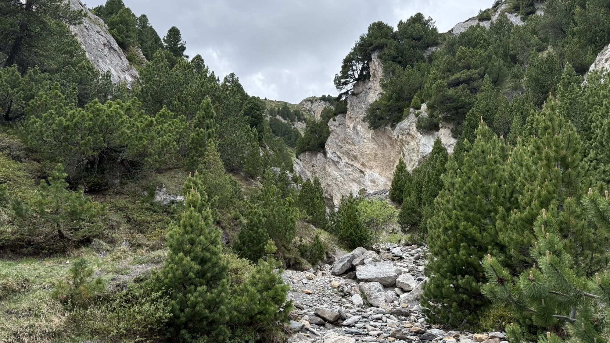
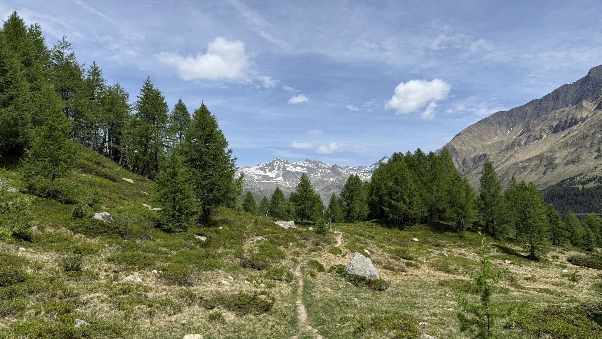
This tour connects the four cantons of Ticino, Grisons, Uri and Valais in four stages. From Airolo it runs around the Gotthard in a 120-kilometre counterclockwise direction. You can avoid some of the climb by using cable cars, postbuses and trains. There is no shortage of fun on this trail, on the 6000 metres down to Oberwald.

Technologia
4 / 6
Stan
6 / 6
Krajobraz
n.d.
Doświadczenie
n.d.
Udostępnij trasę
Mapa
San Gottardo cinque passi Bike (SwitzerlandMobility 85)
ciężki
Mountainbike
152,92 km
Błąd
Wystąpił błąd. Spróbuj ponownie.
Nie ma jeszcze recenzji
Napisz recenzję

Recenzje pomagają innym użytkownikom wybrać kolejną przygodę. Oceniaj tylko trasę, a nie pogodę lub przekąskę.

Wybierz jedną z gwiazdek, aby ocenić wycieczkę
Zła trasa
Słaba trasa
Przeciętna wycieczka
Dobra wycieczka
Doskonała wycieczka
Wędrówki i tropienie

Wędrówki i tropienie

Wędrówki i tropienie
Ponad 550.000 propozycji wycieczek, szczegółowe mapy i intuicyjny planer tras sprawiają, że aplikacja jest niezbędna dla wszystkich entuzjastów przyrody.
bergfex