Nawigacja
Pobierz tę trasę na swój telefon komórkowy
Mapa
Vergeletto-Capanna Salèi-Capanna Arena-Alpe Porcaresc-Vergeletto
średni
długodystansowy szlak pieszy
28,52 km
Zeskanuj kod QR i rozpocznij nawigację w aplikacji bergfex.
QR Code
Wędrówki i tropienie

Vergeletto-Capanna Salèi-Capanna Arena-Alpe Porcaresc-Vergeletto

średni
długodystansowy szlak pieszy
Odległość
28,52 km
Czas trwania
09:25 h
Ascent
1 130 hm
Poziom morza
896 - 1 843 m

Poziom trudności: T3

Ścieżka do pobrania
Mapa
Vergeletto-Capanna Salèi-Capanna Arena-Alpe Porcaresc-Vergeletto
średni
długodystansowy szlak pieszy
28,52 km

You can reach Vergeletto by bus (direction Spruga with a change in Russo) or by car. You can start the hike directly from here or take the cable car to Alpe Salèi (operates from May to October). If you...

Opis
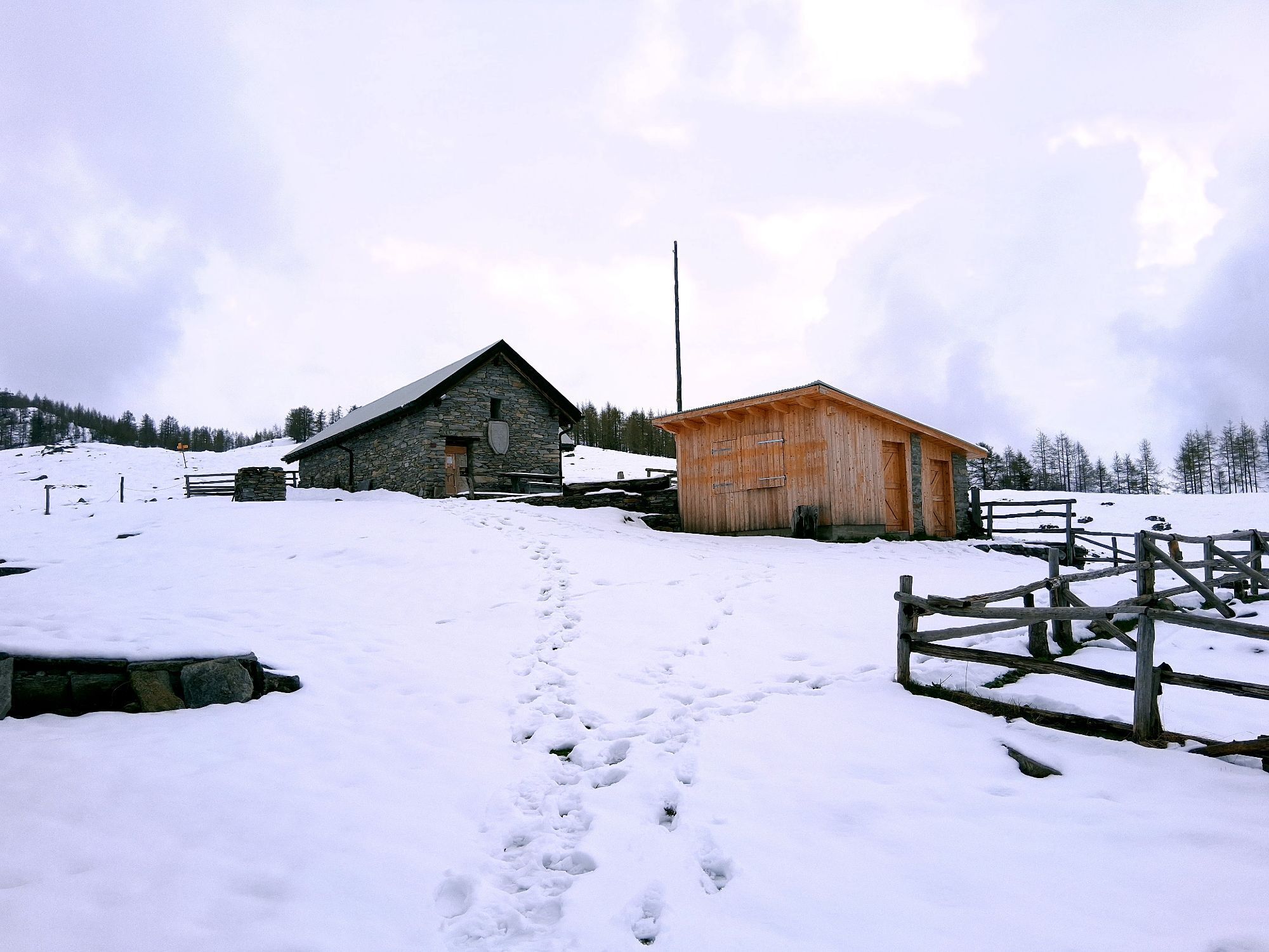
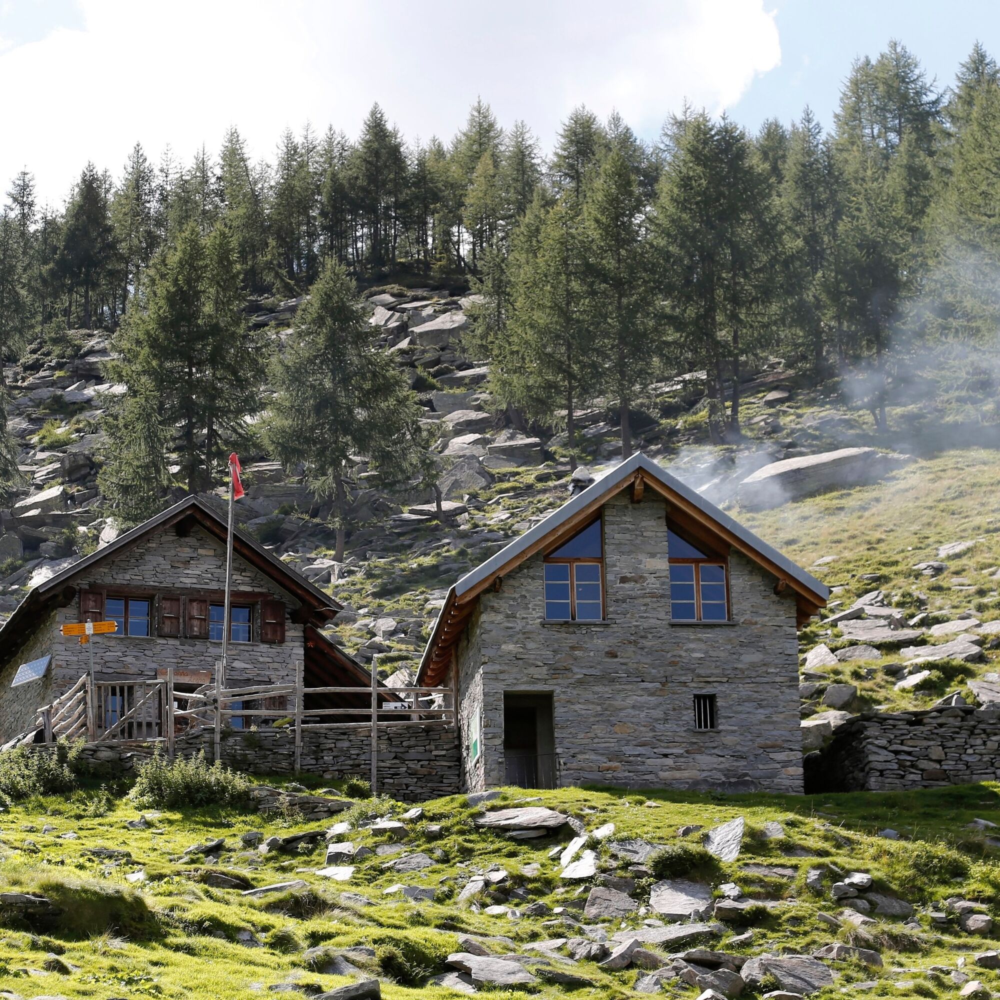
You can reach Vergeletto by bus (direction Spruga with a change in Russo) or by car. You can start the hike directly from here or take the cable car to Alpe Salèi (operates from May to October). If you go up on foot, Capanna Alpe Salei is the right place to rest and catch your breath. The trail crosses meadows and larch woods below the ridges up to the Bùsan Pass and Alpe Pièi Bachei. The trail continues with ups and downs to Alpe Arena, where the hut of the same name is located and where it is possible to spend the night. The hut (unattended and open from June to October) has a kitchen, wood stove, bathroom, electricity and drinks. A panoramic trail leads through the alpine landscape along the valley basin to Alpe di Porcaresc. Then you undertake a steep descent to Al Casón and Vergeletto, where you take the bus again. In summer, it is possible to buy cheese from the alpine farmers.

Attention: Between Alpe d’Arena and Salèi, flocks of sheep guarded by livestock guardian dogs may be present.

Trasa
Trasa
Mapa
Vergeletto-Capanna Salèi-Capanna Arena-Alpe Porcaresc-Vergeletto
średni
długodystansowy szlak pieszy
28,52 km
Osteria della Piazza
(897 m)
Restauracja
0,0 km
Vergeletto
(906 m)
Wioska
0,0 km
Monte della Chià
(949 m)
Rozliczenie
1,8 km
Zott
(969 m)
Rozliczenie
2,4 km
Locanda Zott
(970 m)
Restauracja
2,5 km
La Valáscia da Dént
(1 021 m)
Korytarz/teren
3,2 km
I Piéi
(1 089 m)
Korytarz/teren
3,8 km
Alpe Salèi
(1 769 m)
Stacja gondoli
8,9 km
Capanna Alpe Saléi
(1 777 m)
Schronienie
9,2 km
A Aréna
(1 689 m)
Rozliczenie
14,3 km
Capanna Alpe Arena
(1 689 m)
Schronienie
14,4 km
Buco d'Arena
(1 680 m)
Korytarz/teren
14,6 km
Murisc
(1 669 m)
Korytarz/teren
15,1 km
A Madèi
(1 762 m)
Rozliczenie
15,9 km
A Porcarésc
(1 796 m)
Rozliczenie
18,3 km
Grotto Fondovalle
(1 115 m)
Restauracja
23,0 km
Piano delle Cascine
(1 080 m)
Korytarz/teren
23,3 km
Al Partös
(1 077 m)
Rozliczenie
23,9 km
I Piéi
(1 089 m)
Korytarz/teren
24,5 km
La Valáscia da Dént
(1 021 m)
Korytarz/teren
25,2 km
Zott
(969 m)
Rozliczenie
25,8 km
Locanda Zott
(970 m)
Restauracja
25,9 km
Monte della Chià
(949 m)
Rozliczenie
26,5 km
Vergeletto
(906 m)
Wioska
28,4 km
Osteria della Piazza
(897 m)
Restauracja
28,5 km
Informacje o wycieczce

Two-day hike in the enchanting landscape of the Onsernone Valley. Route on a mountain trail (marked white-red-white) that passes isolated alpine pastures surrounded by majestic peaks.

Technologia
3 / 6
Stan
4 / 6
Krajobraz
n.d.
Doświadczenie
n.d.
Najlepsza pora roku
Sty
Lut
Mar
Kwi
Maj
Cze
Lip
Sie
Wrz
Paź
Lis
Gru
Udostępnij trasę
Mapa
Vergeletto-Capanna Salèi-Capanna Arena-Alpe Porcaresc-Vergeletto
średni
długodystansowy szlak pieszy
28,52 km
Błąd
Wystąpił błąd. Spróbuj ponownie.
Informacje o trasie
Trasa

Cable car Salèi, Zott-Valascia-Capanna Salei-Pièi Bachei-Capanna Alpe Arena-Murisc-Alpe di Madéi-Alpe di Porcaresc-Alpe del Casone-Valascia-Zott-Monte della Chià-Zardin-Vergeletto

Gondola / kolejka linowa

Tak

Informacje o przyjeździe
Transport publiczny

From Locarno: take bus B 324 towards Spruga. Change bus in Russo and take bus B 325 to Vergeletto.

Return from Vergeletto: take bus B 325 to Russo. Change bus and take bus B 324 towards Locarno. Get off at the station. More information: www.sbb.ch

Dodatkowe informacje i wskazówki
Poziom trudności

T3

Wędrówki i tropienie

Wędrówki i tropienie

Wędrówki i tropienie
Ponad 550.000 propozycji wycieczek, szczegółowe mapy i intuicyjny planer tras sprawiają, że aplikacja jest niezbędna dla wszystkich entuzjastów przyrody.
bergfex