


Trip Tirol ➤ The Jaufen Pass panoramic road
Poziom trudności: 1
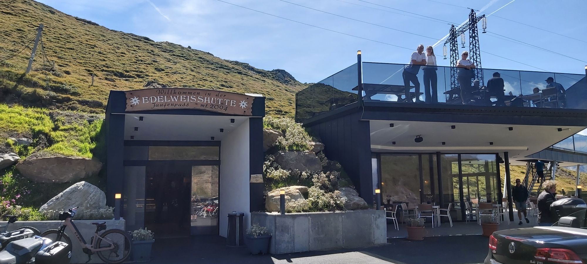
It connects Sterzing in the Eisack valley with St. Leonhard in the beautiful Passeier valley. The road winds uphill through forests and pastures, below the pass summit there is a mountain inn and a popular...
It connects Sterzing in the Eisack valley with St. Leonhard in the beautiful Passeier valley. The road winds uphill through forests and pastures, below the pass summit there is a mountain inn and a popular motorcycle meeting point. At the pass summit itself, there is a snack stand as well as a tiny inn with a view of the Passeier valley. On the southwest side, the road descends in wide curves and switchbacks to Sankt Leonhard.
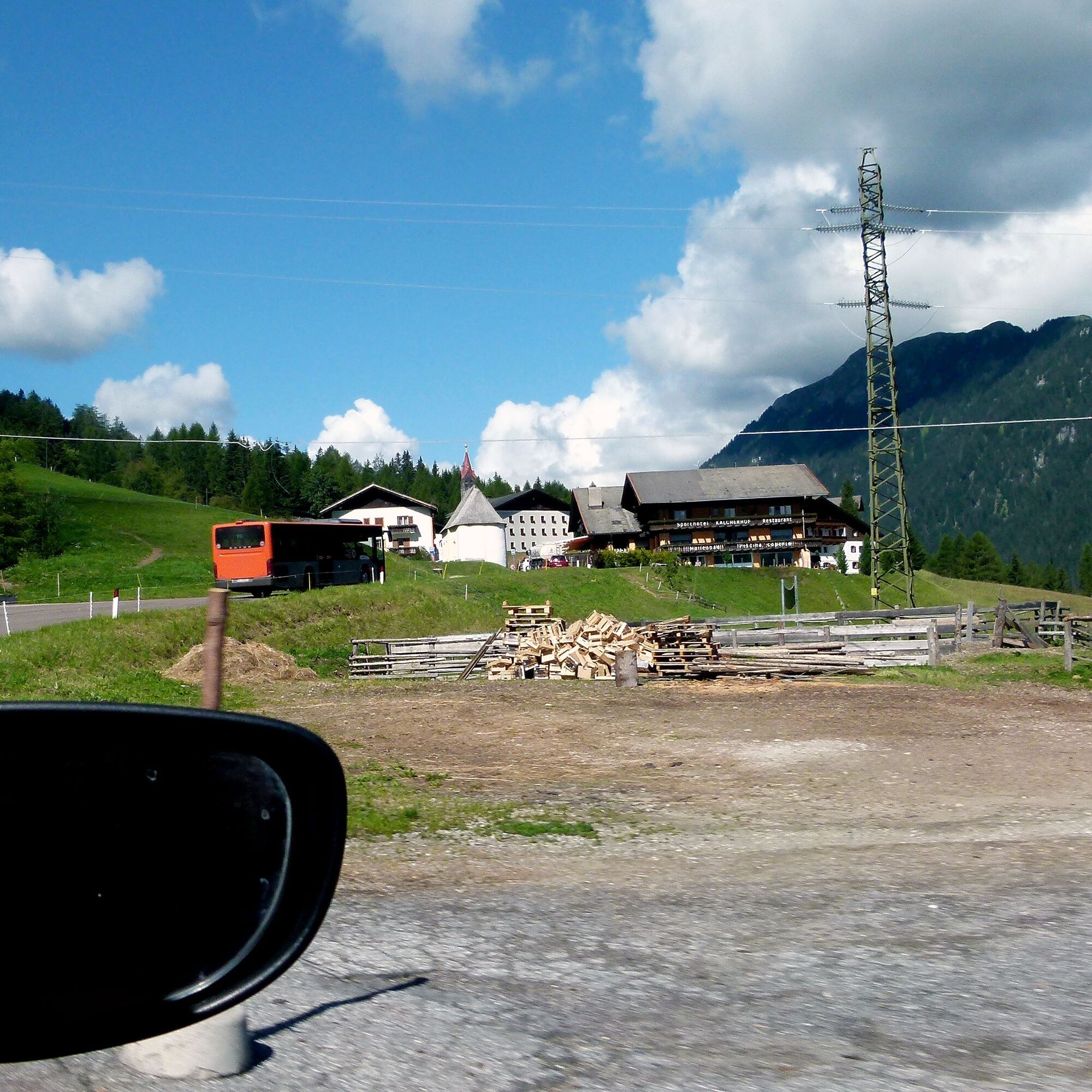
One of the most beautiful relics from long ago is Reifenstein Castle, a 900-year-old symbol of perfect castle architecture. On high rock, the never conquered fortress rises from the swamps of the Sterzing moor and today counts among the most beautiful castles in South Tyrol. By the way, Sterzing at the foot of the Jaufen and Brenner passes is also worth a stroll through the pedestrian zone dominated by the famous Zwölferturm with countless places to eat and shop. Meanwhile, the bike can be parked at the central parking lot in the town center.

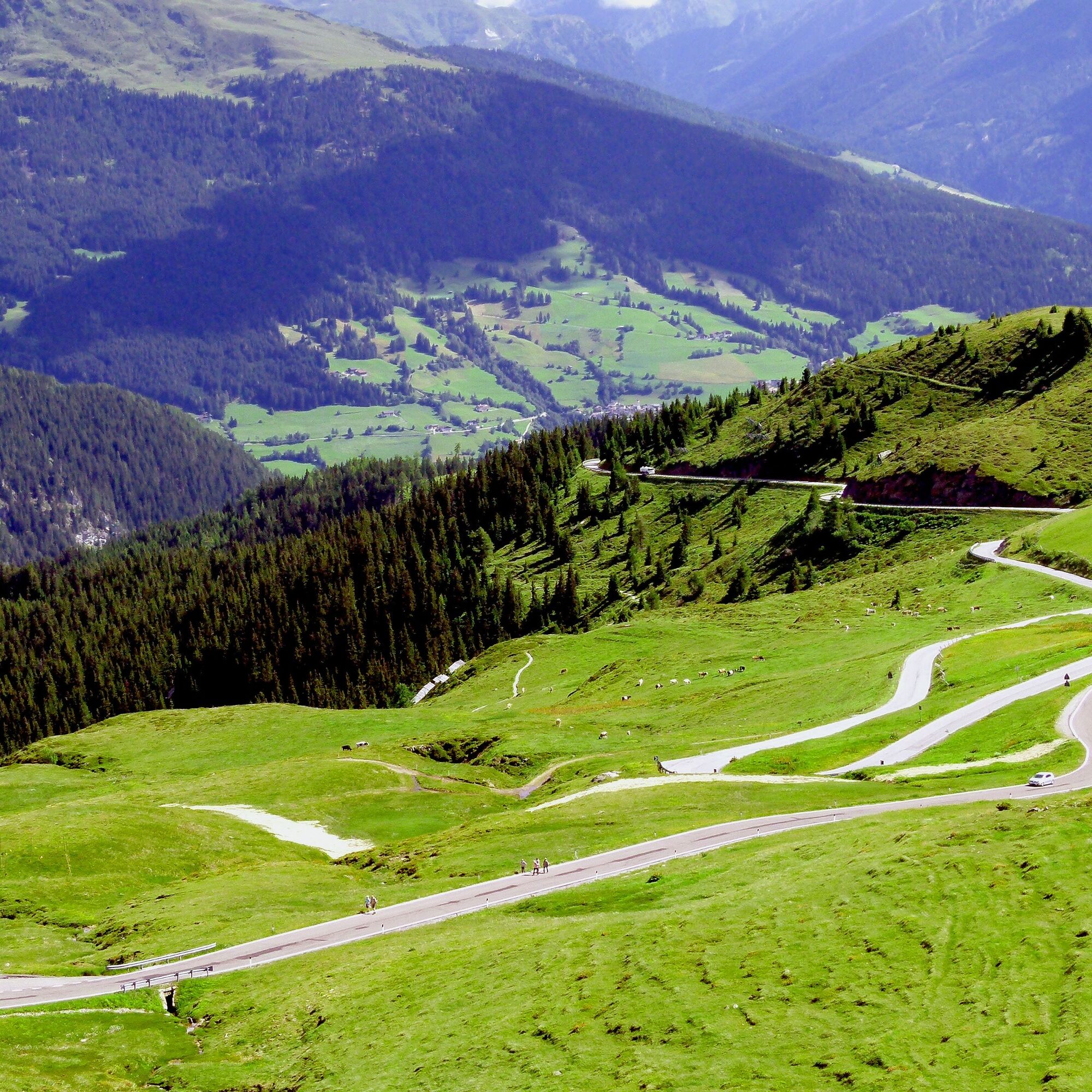
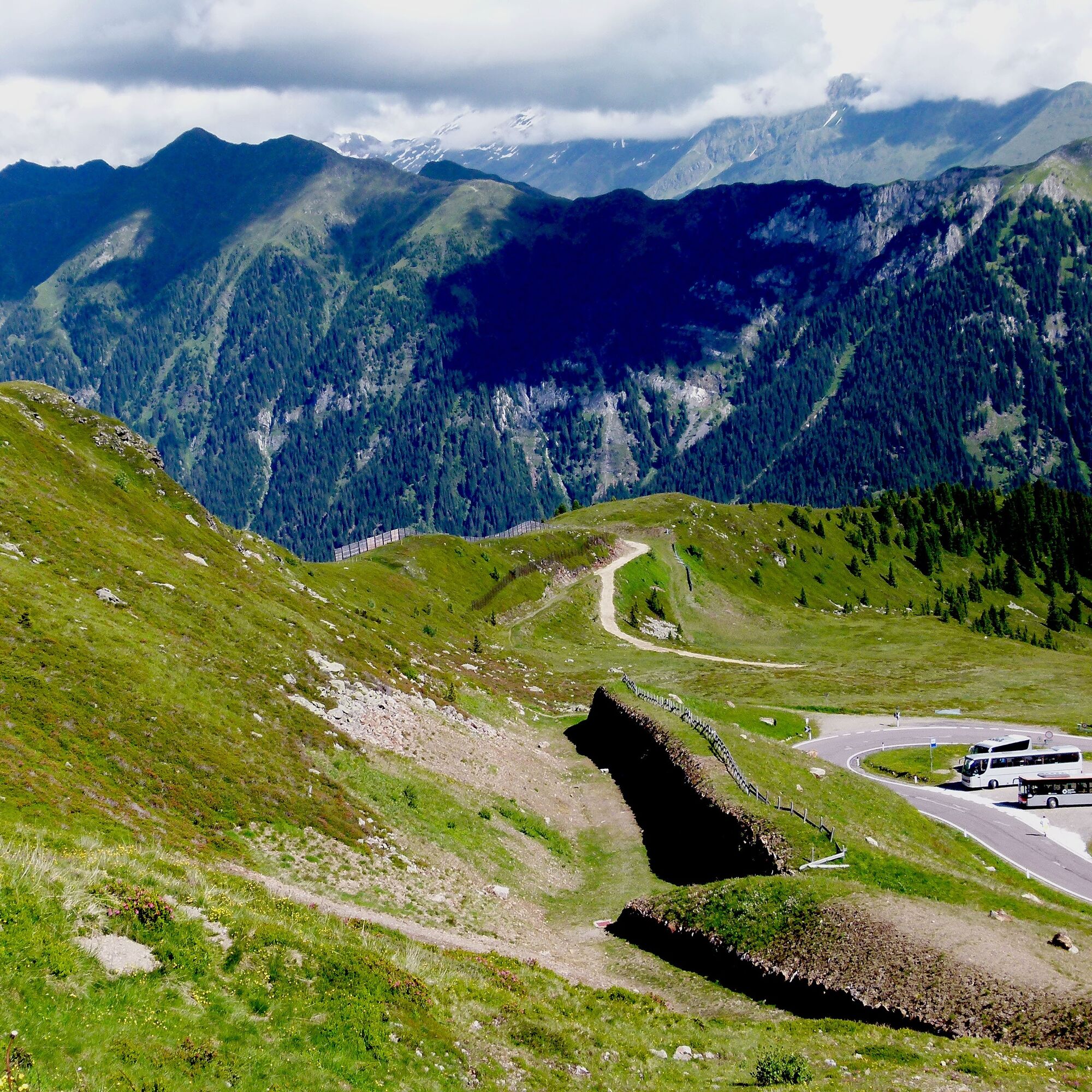
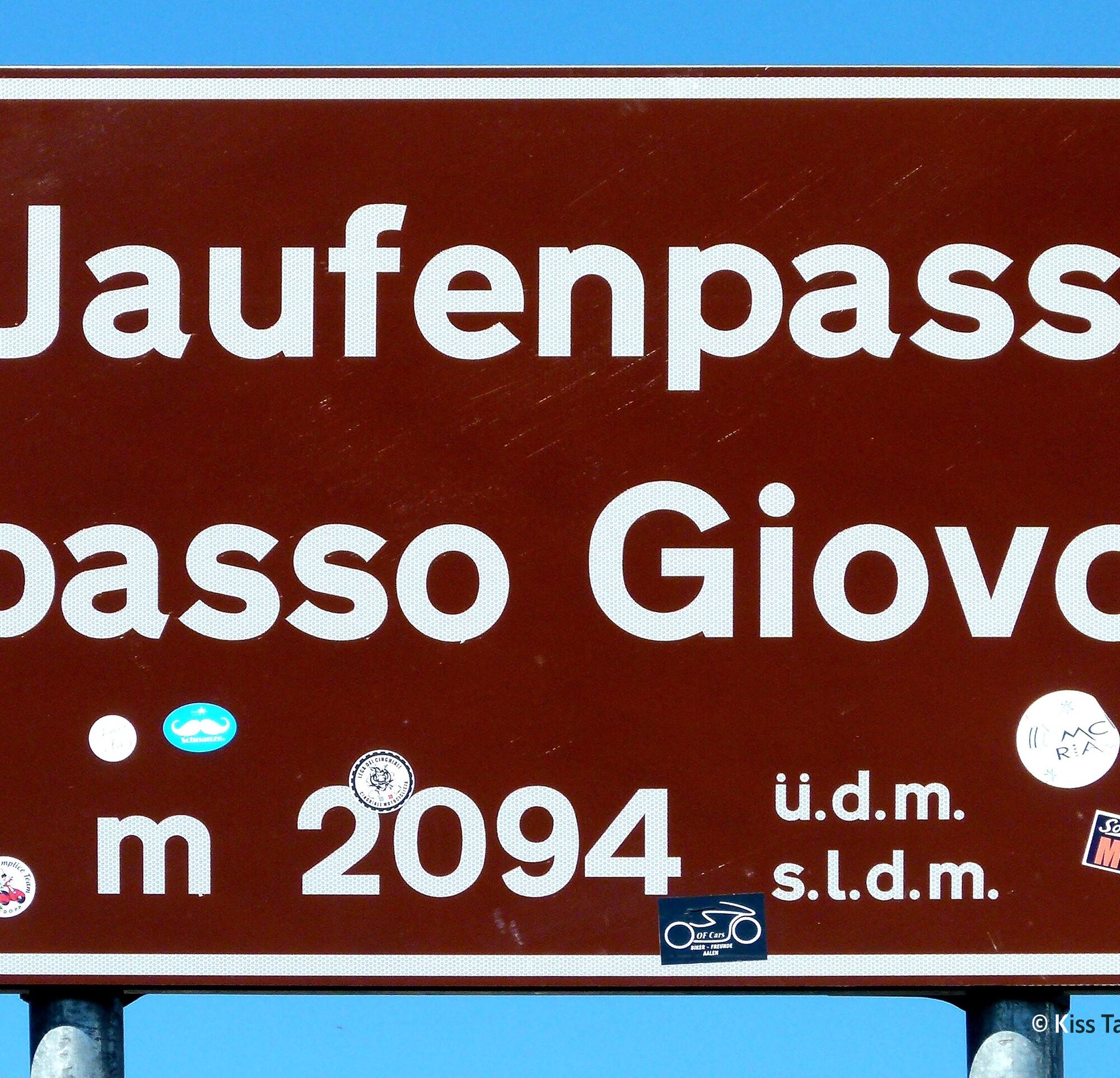
The 39 winding kilometers of the Jaufen with its 20 hairpin bends have earned biker fame mainly in connection with the "big brother" Timmelsjoch. Both in terms of riding and scenery, it is a real treat. The condition of the popular route is quite good, but after the winter frost heaves and road subsidence can be observed repeatedly, the repair of which can extend well into the summer.
Tak
Tak
Motorcycle: ⤠Motorcycle helmet ⤠Motorcycle gloves ⤠Motorcycle boots ⤠Motorcycle jacket and pants
Convertible: ⤠Baseball cap ⤠Sunscreen ⤠Sunglasses ⤠Convertible?!?
Always pay attention to the road surface
From Merano as well as Sterzing via the SS 44 to the pass summit
Better with convertible or motorcycle
Parking available at the pass summit
Book suitable accommodation on trip-tirol.com
1
No toll fee
Book suitable accommodations on trip-tirol.com
Tip: Stop at the inn at the fourth hairpin shortly after St. Leonhard with a sun terrace right at the apex of the curve, from which you can wonderfully observe the activities of fellow riders.
Kamery internetowe z trasy
-
Ratschings Berg
-
Ratschings
-
St. Leonhard im Passeier
-
Stuls - Kronhof
-
Passeiertal
-
Hotel Taljörgele
-
Piazza Città Vipiteno
-
Piazza Città Vipiteno
-
Piazza Città Vipiteno
-
Piazza Città Vipiteno
-
Piazza Città Vipiteno
-
Piazza Città Vipiteno
-
Piazza Città Vipiteno
-
Flains
-
Flains
-
Flains
-
Flains
-
Flains
-
Flains
-
Flains
-
Flains
-
Stilfes Trens
-
Stilfes Trens
-
Stilfes Trens
-
Stilfes Trens
-
Rosskopf - Monte Cavallo
-
Rosskopf - Monte Cavallo
-
Rosskopf - Monte Cavallo
-
Rosskopf - Monte Cavallo
-
Rosskopf - Monte Cavallo
-
Rosskopf - Monte Cavallo
-
Stadtplatz Sterzing | Piazza Città Vipiteno
-
Rosskopf - Monte Cavallo
-
Sterzing / Freienfeld
-
Jaufental / Val Giovo


Popularne wycieczki w okolicy
-
4,9
Hirzer Almenrunde
światłoWycieczki górskie 9,02 km -
4,6
Passerschlucht
światłoWędrówka 8,84 km -
3,5
Wanderung durch die Gilfenklamm
Wędrówka 1,20 km -
4,4
Passerschlucht mit Stieber Wasserfällen, Trentino-Südtirol/Italien
średniWędrówka 9,49 km -
4,4
Penserjoch Seenwanderung
światłoWędrówka 7,84 km -
3,3
Almenrunde
światłoWędrówka 10,5 km -
5,0
Anello delle cascate di Stanghe
średniWędrówka 6,70 km -
5,0
Hirzer mit Kinder
średniWędrówka 17,6 km -
4,5
Jaufenspitze Nordkante 4
średniWspinaczka 4,05 km -
5,0
E5 - 7. Etappe: Gompmalm - Meran
średnidługodystansowy szlak pieszy 13,8 km
Wędrówki i tropienie


Nie przegap ofert i inspiracji na następne wakacje
Twój adres e-mail została dodana do listy mailingowej.