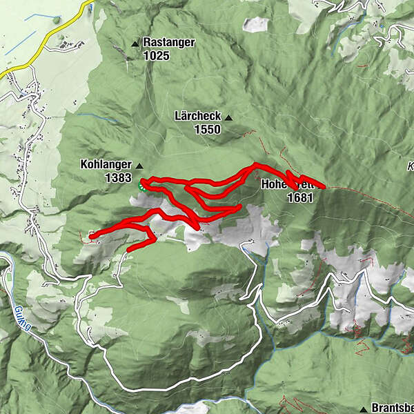
Dane wycieczki
13,14km
1.066
- 1.682m
660hm
660hm
06:00h
- Krótki opis
-
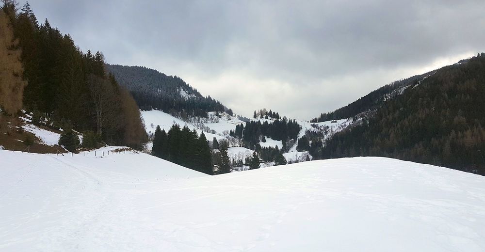
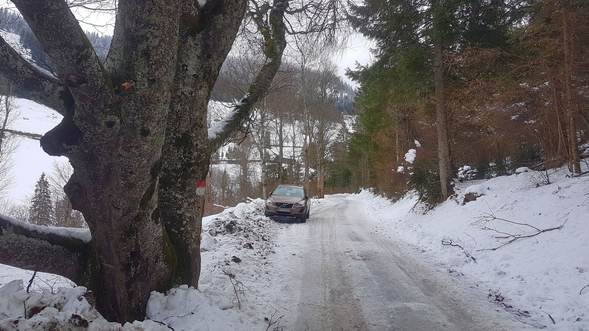
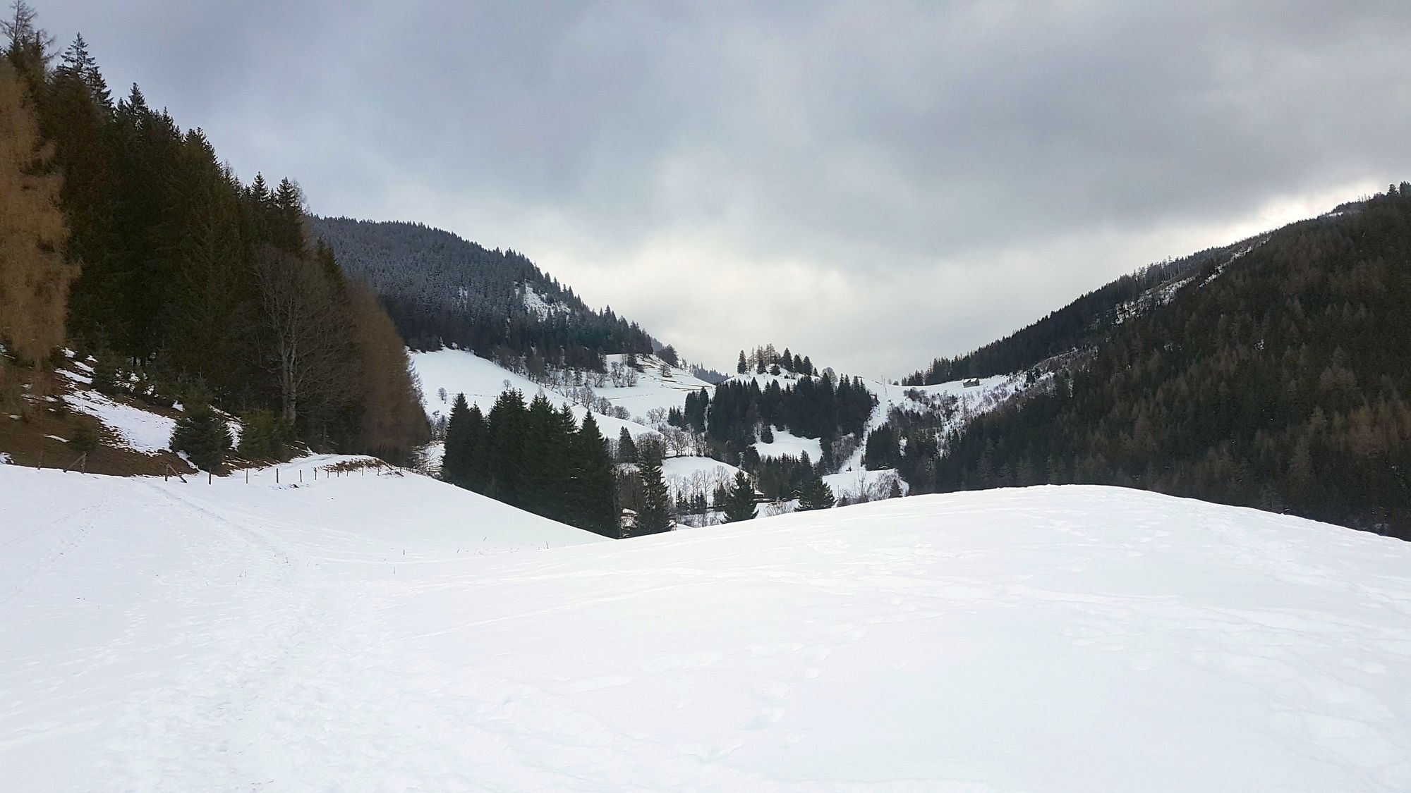
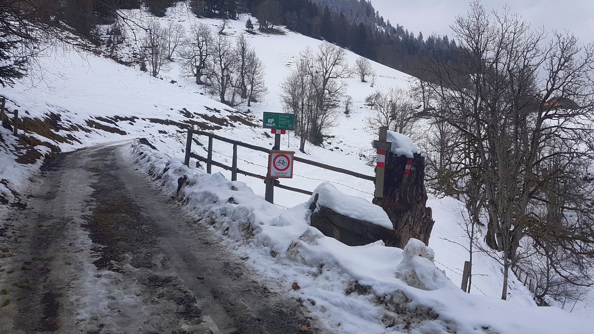
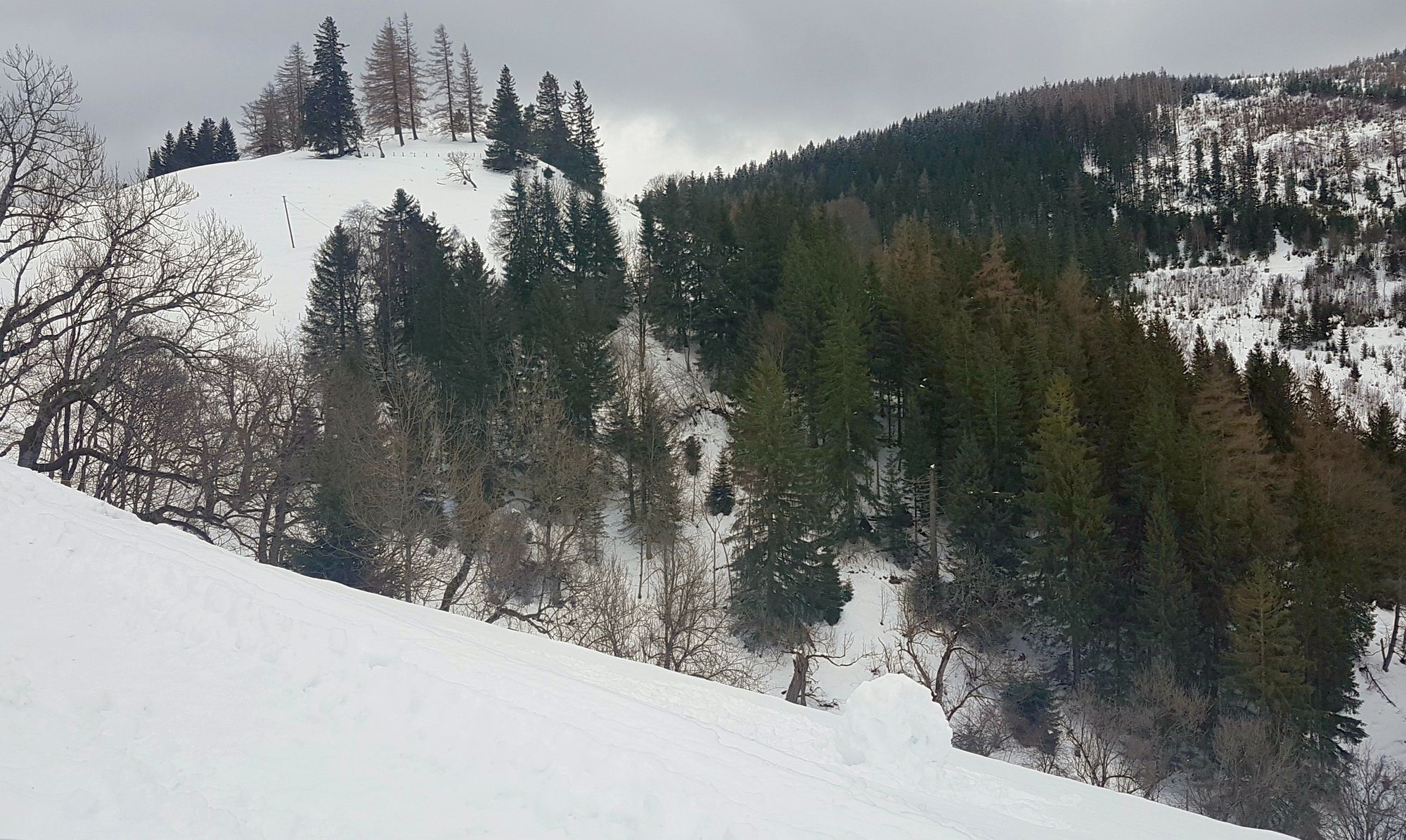
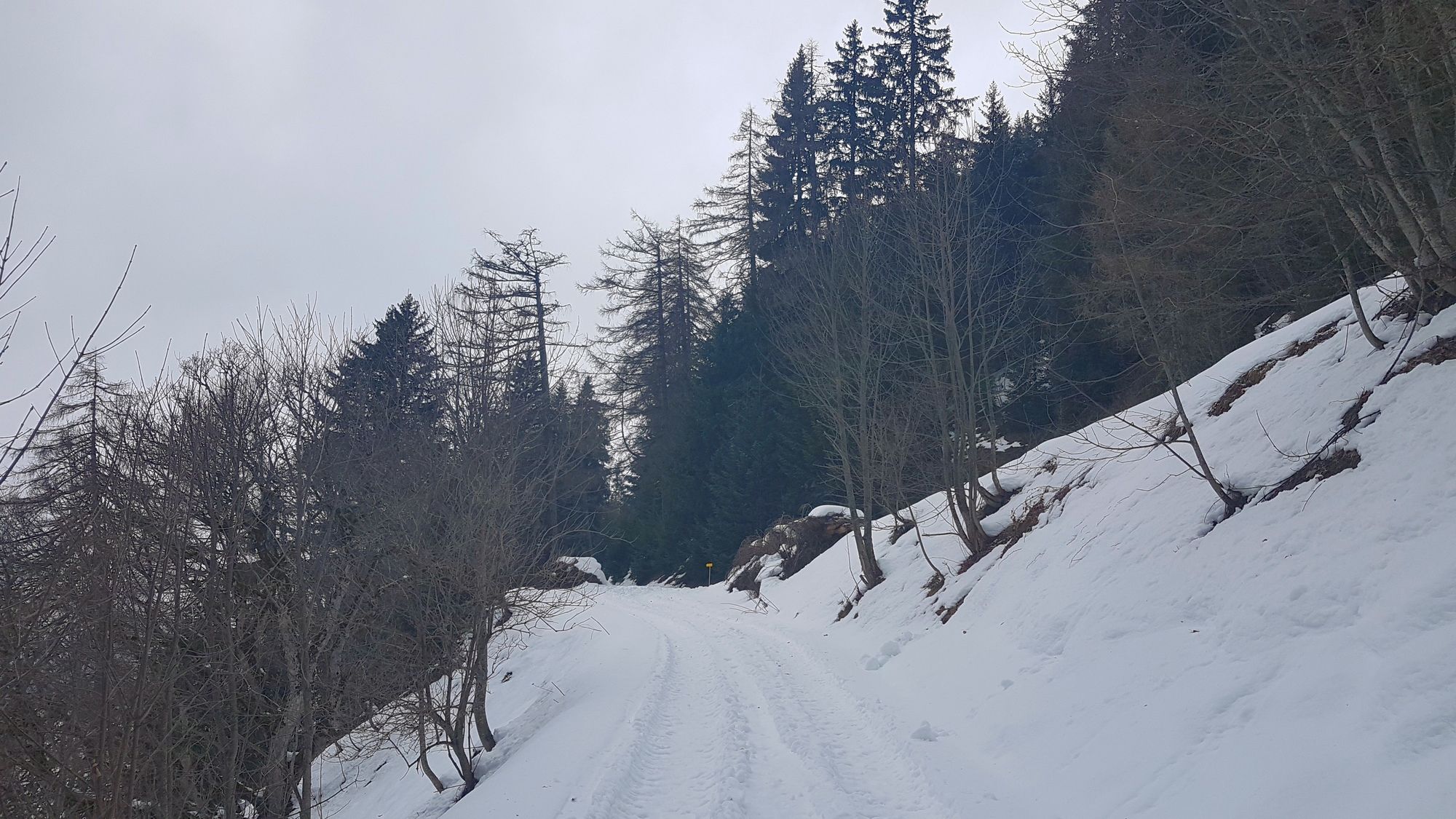
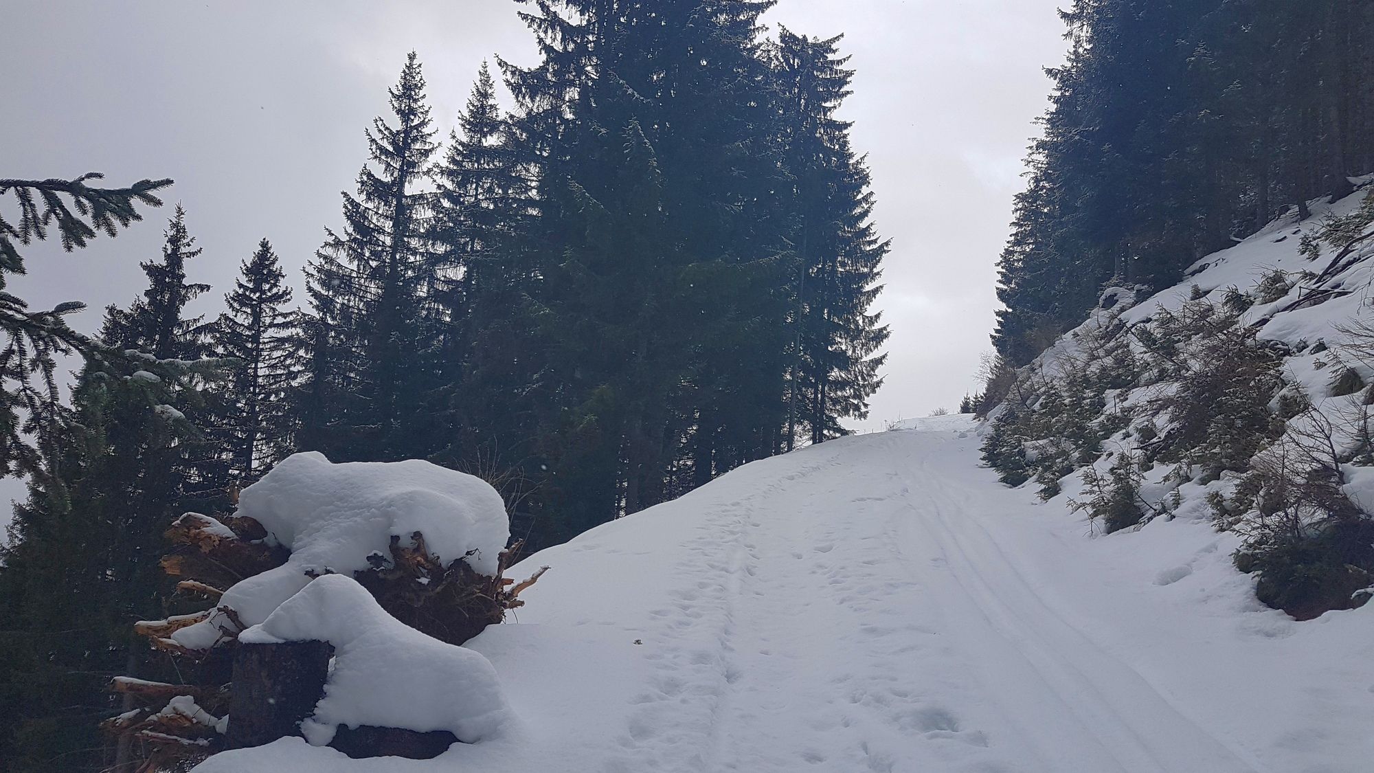
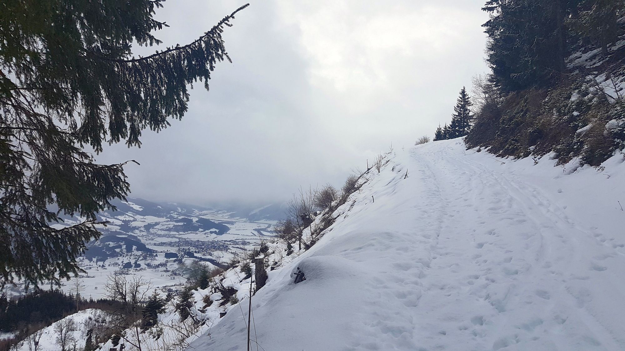
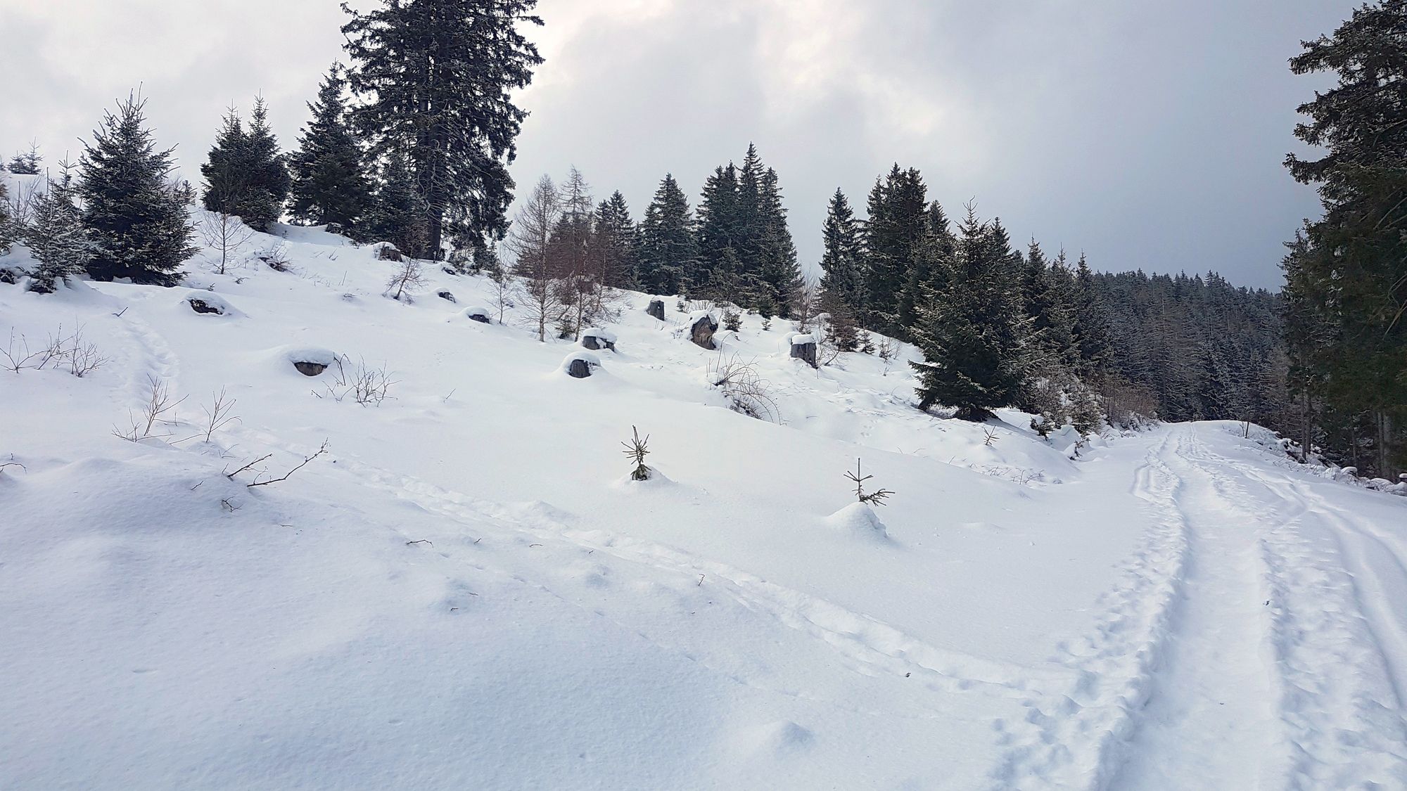
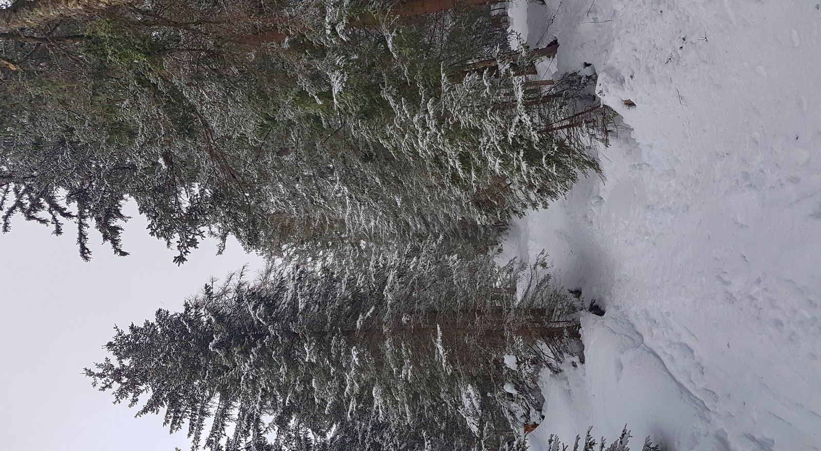
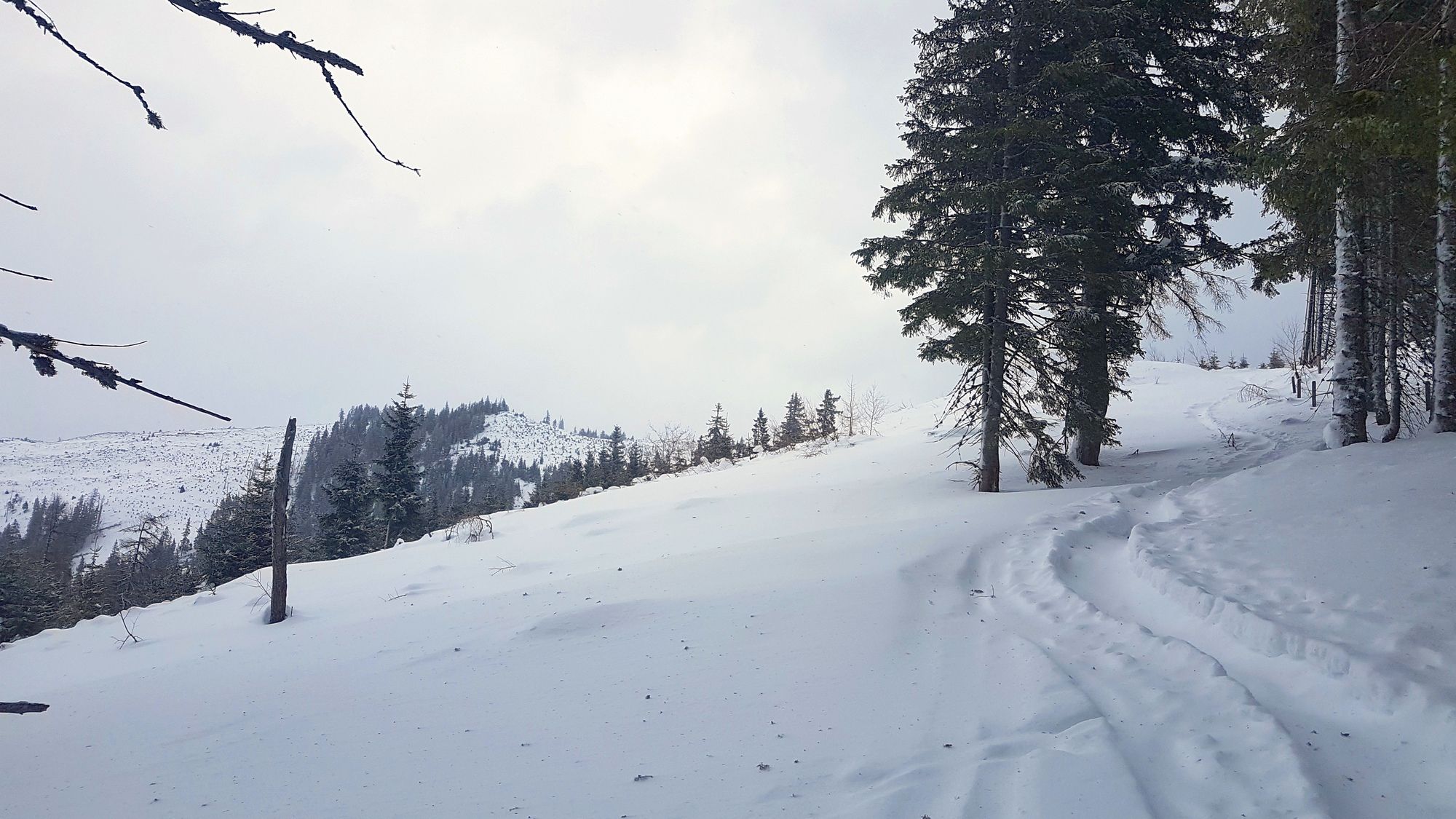
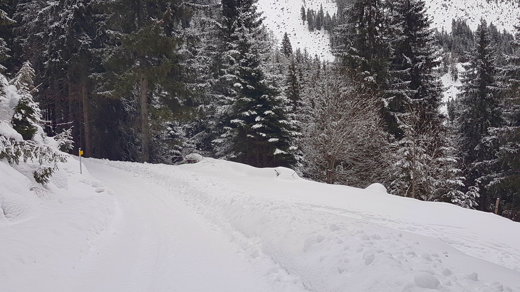
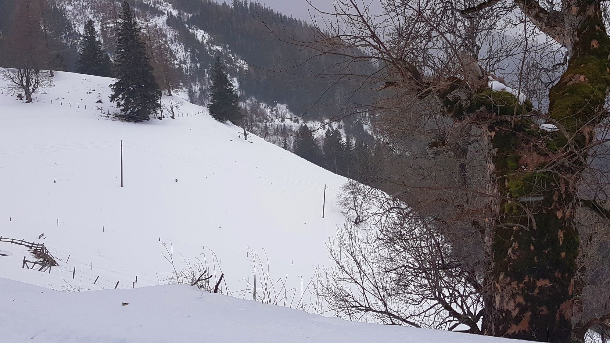
Schneeschuhwanderung in der Nähe von Aigen im Ennstal über Straßen und Spuren auf die Hohe Trett.
- Stopień trudności
-
łatwe
- Ocena
-
- Punkt wyjścia
-
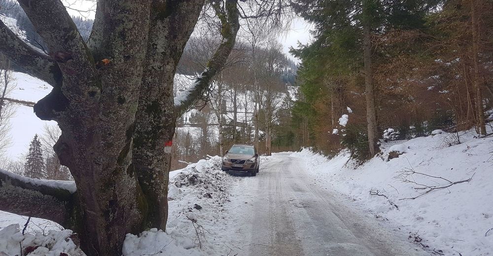
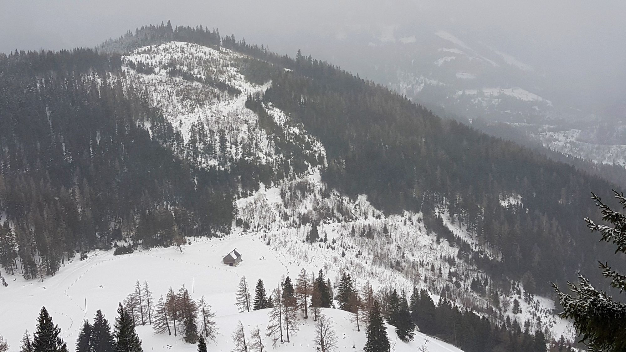
Mösl
- Trasa
-
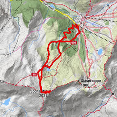
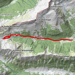
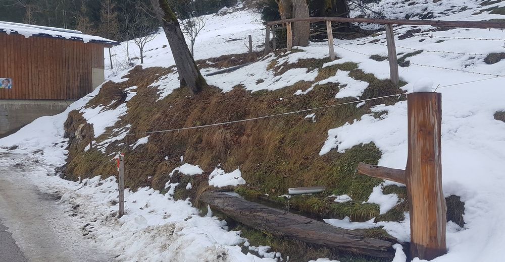
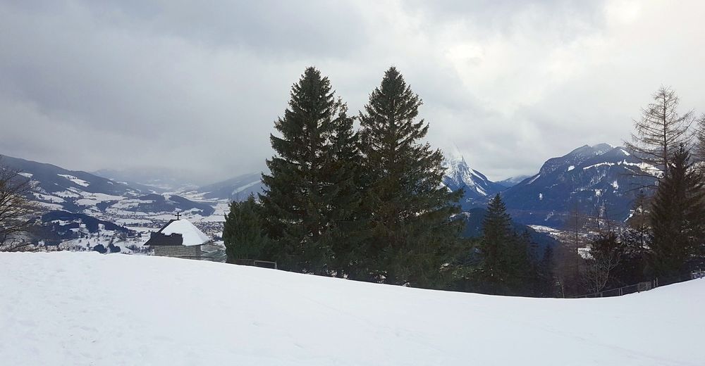
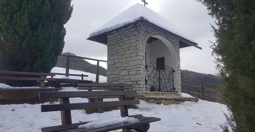
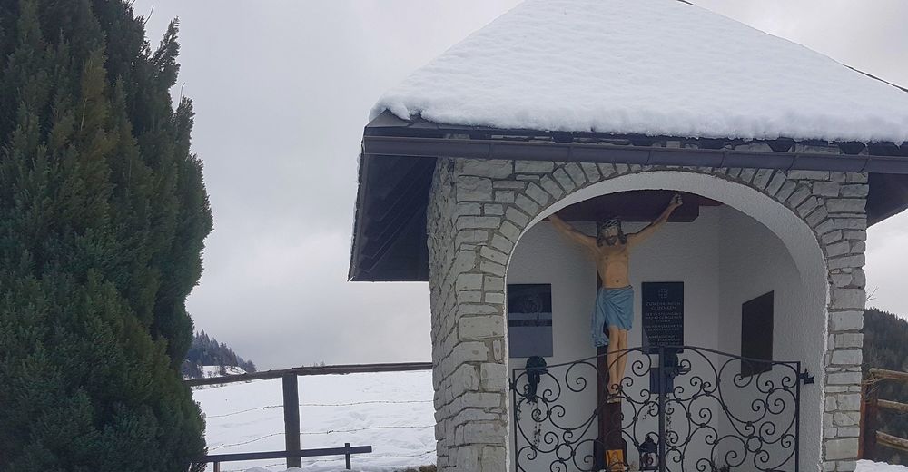
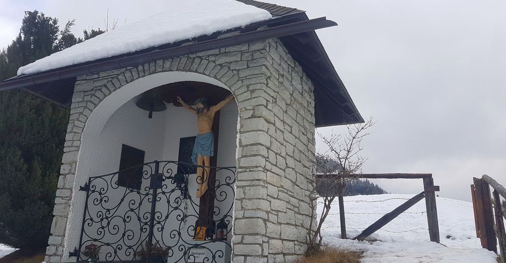
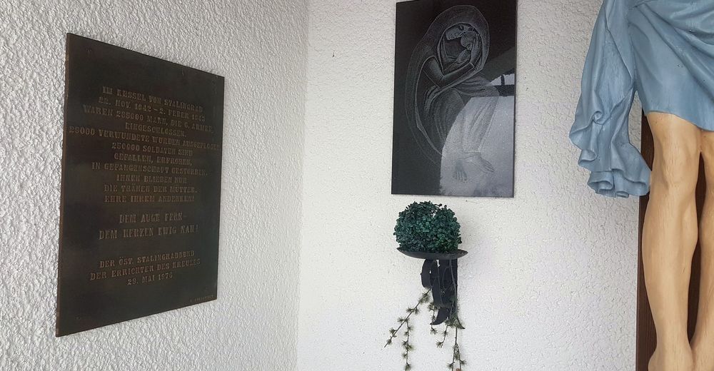
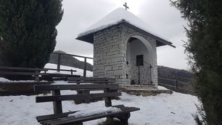
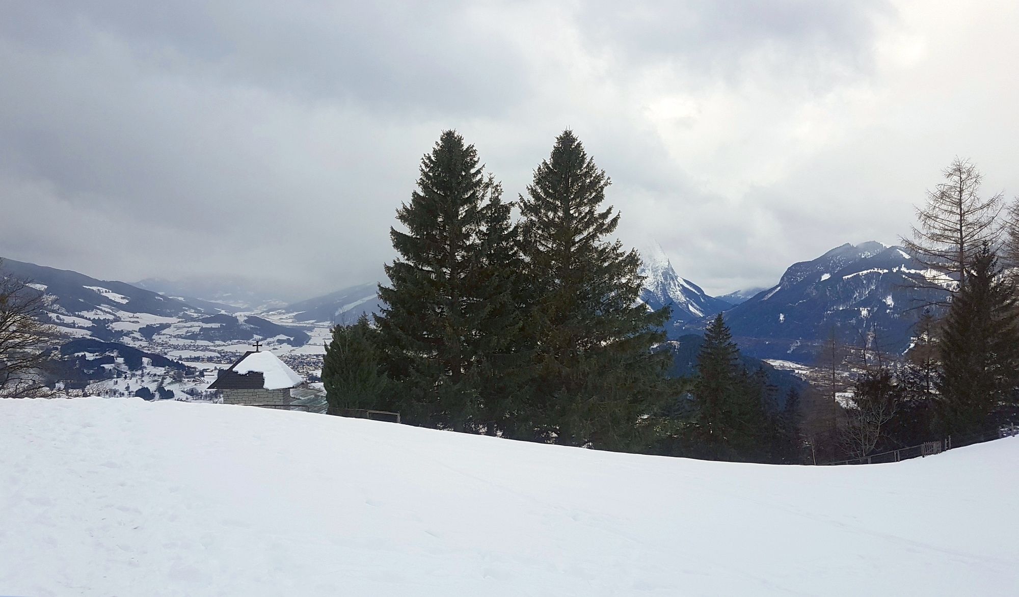
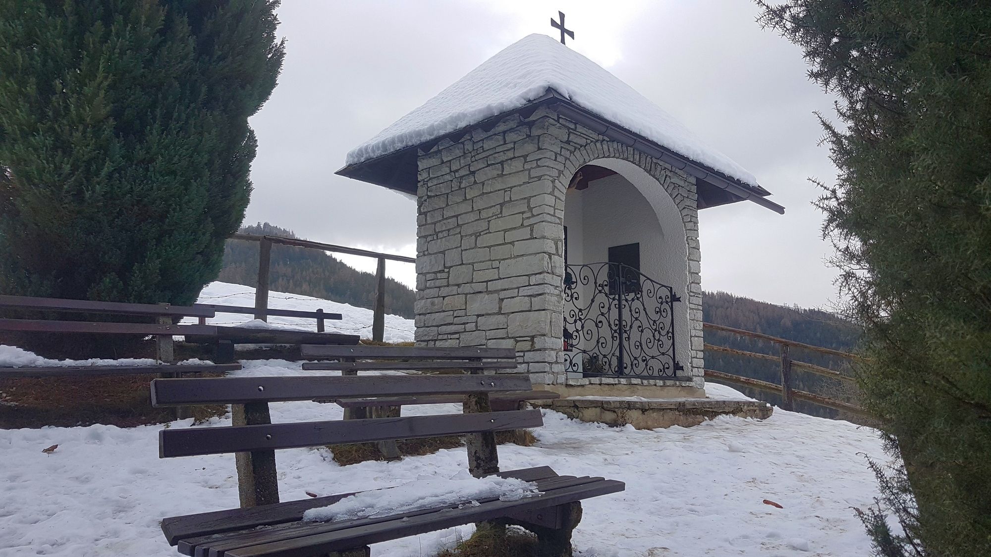
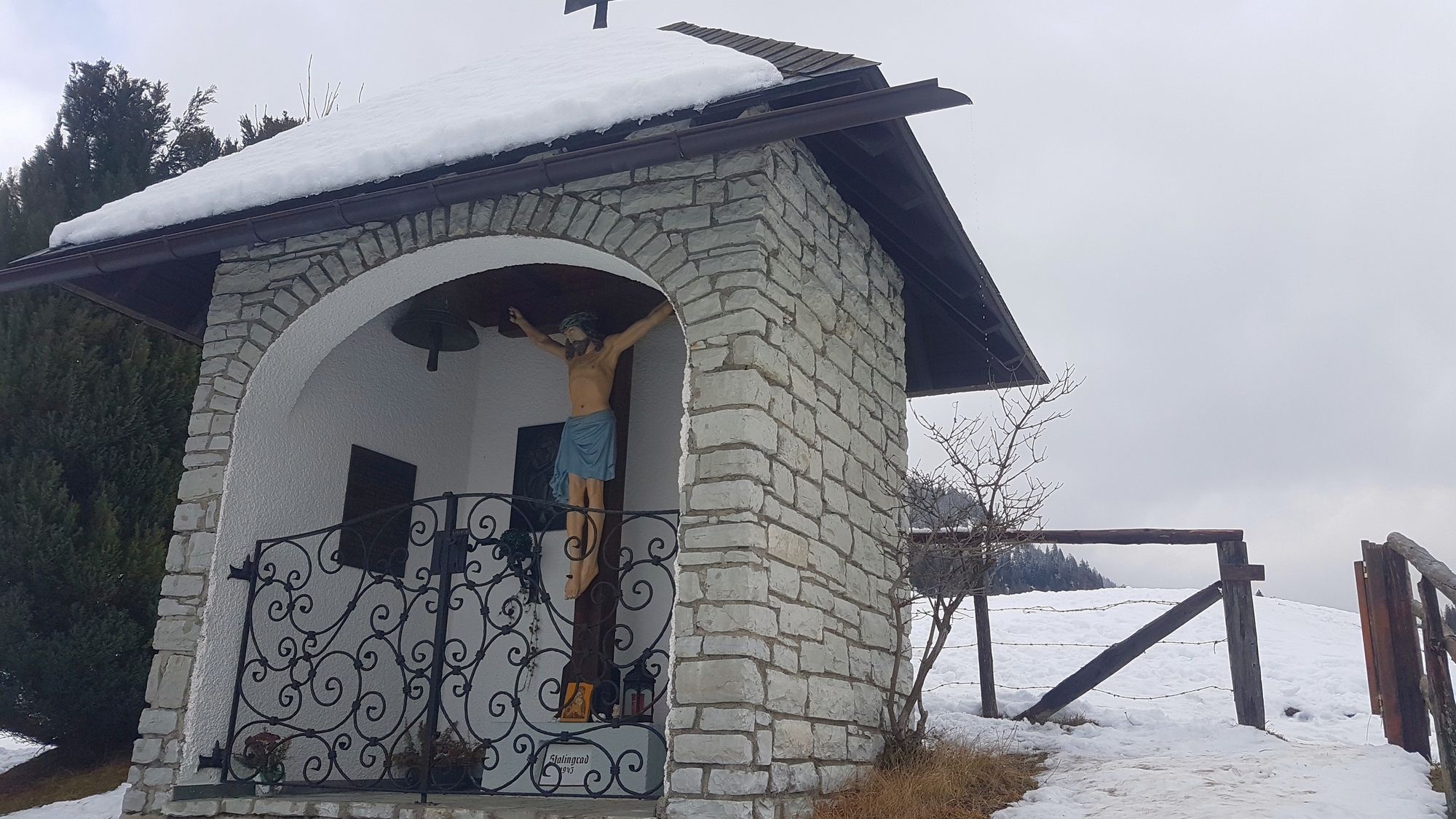
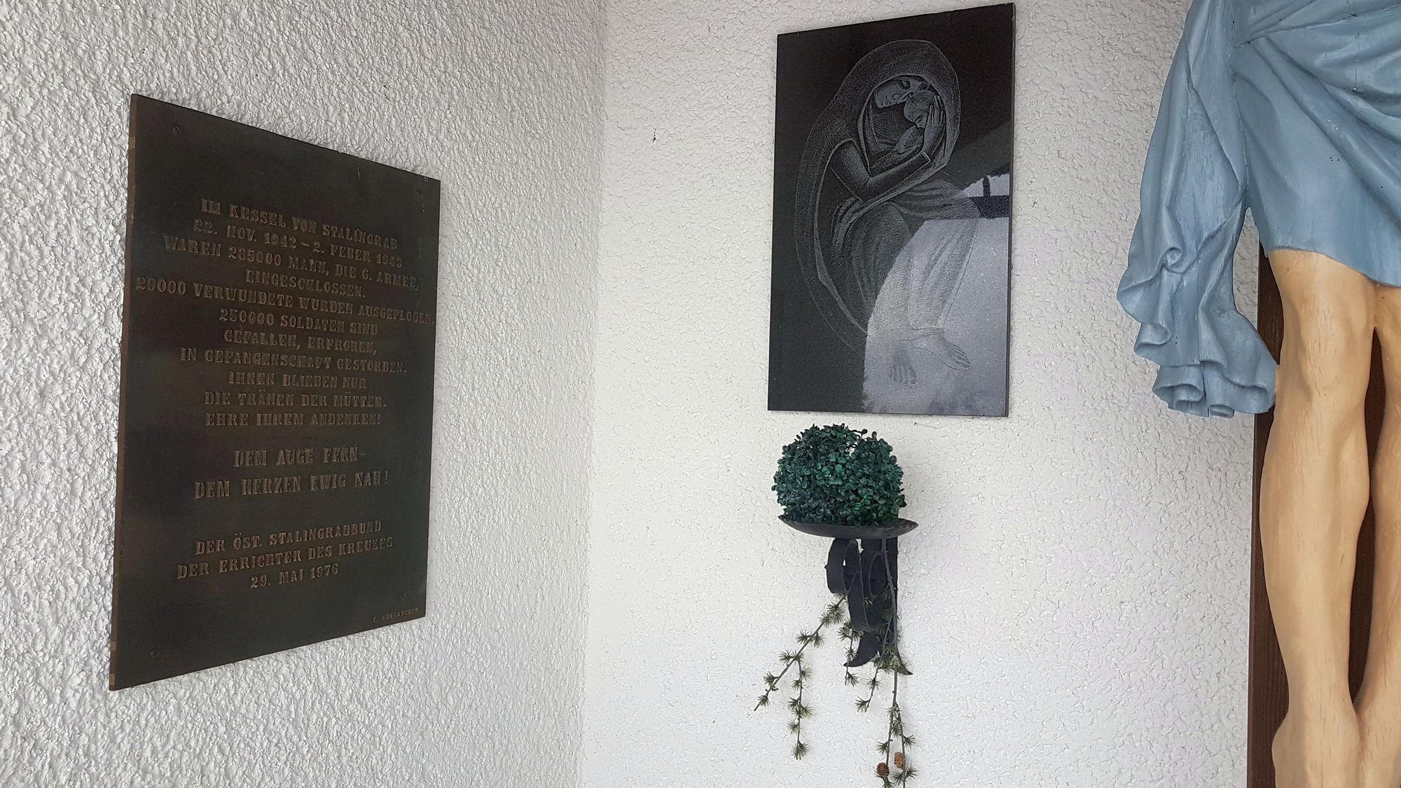
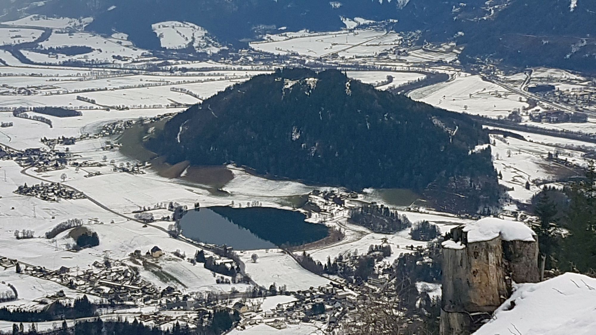
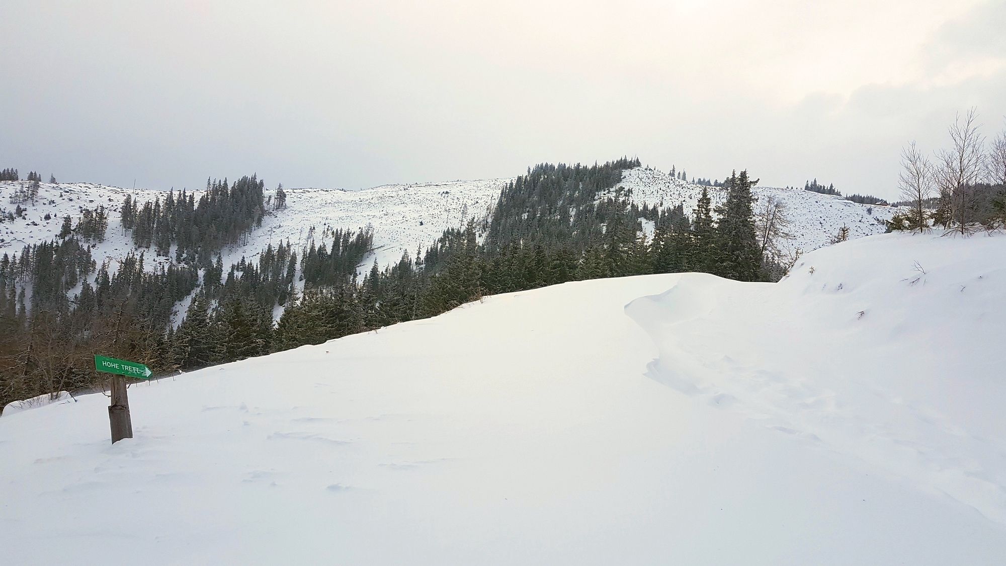
Stalingradkreuz Kapelle1,1 kmHohe Trett (1.681 m)6,7 km
- Najlepszy sezon
-
siewrzpaźlisgrustylutmarkwimajczelip
- Najwyższy punkt
- Hohe Trett (1.682 m)
- Miejsce docelowe
-
Hohe Trett
- Literatura
-
ROTHER Schneeschuhführer Steiermark von Silvia Sarcletti und Elisabeth Zienitzer, Tour 25 "Hohe Trett , 1681m"
- Videos
-
 4 years ago


GPS Downloads


Więcej wycieczek w regionach