







Goldberg cycling route in the Raurisertal variant via Embach
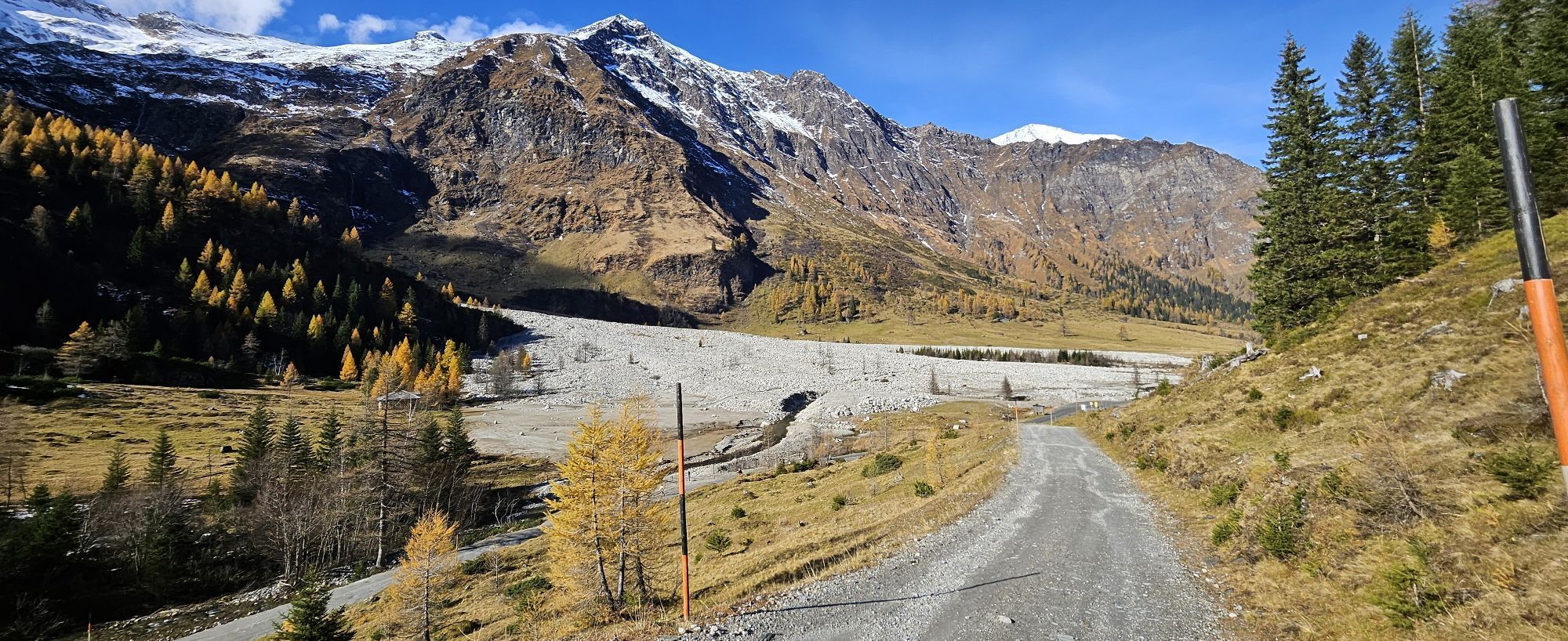
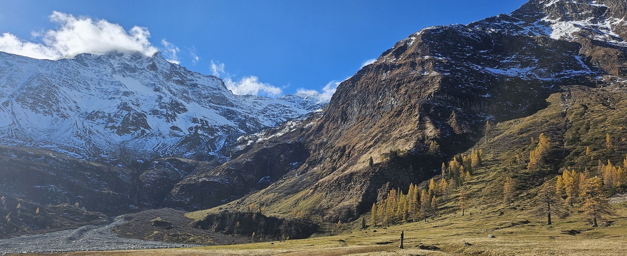
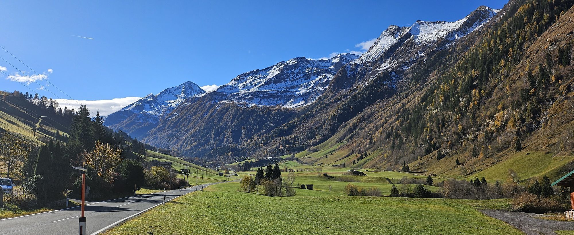
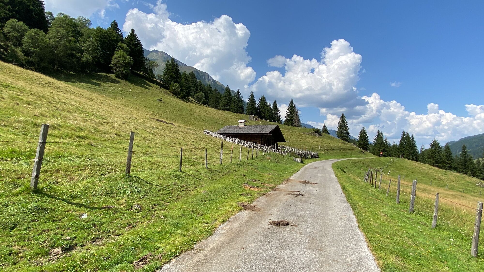
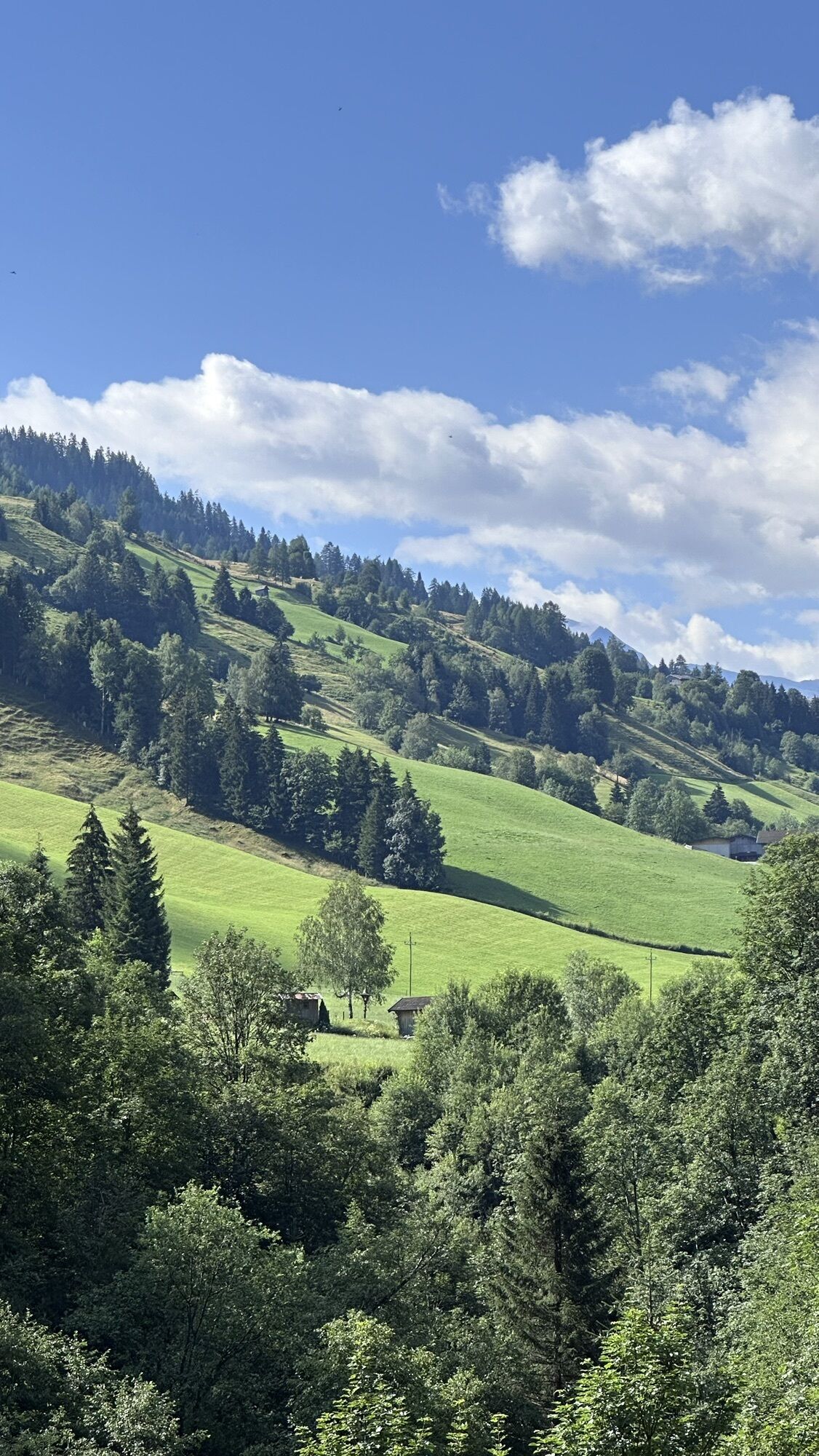
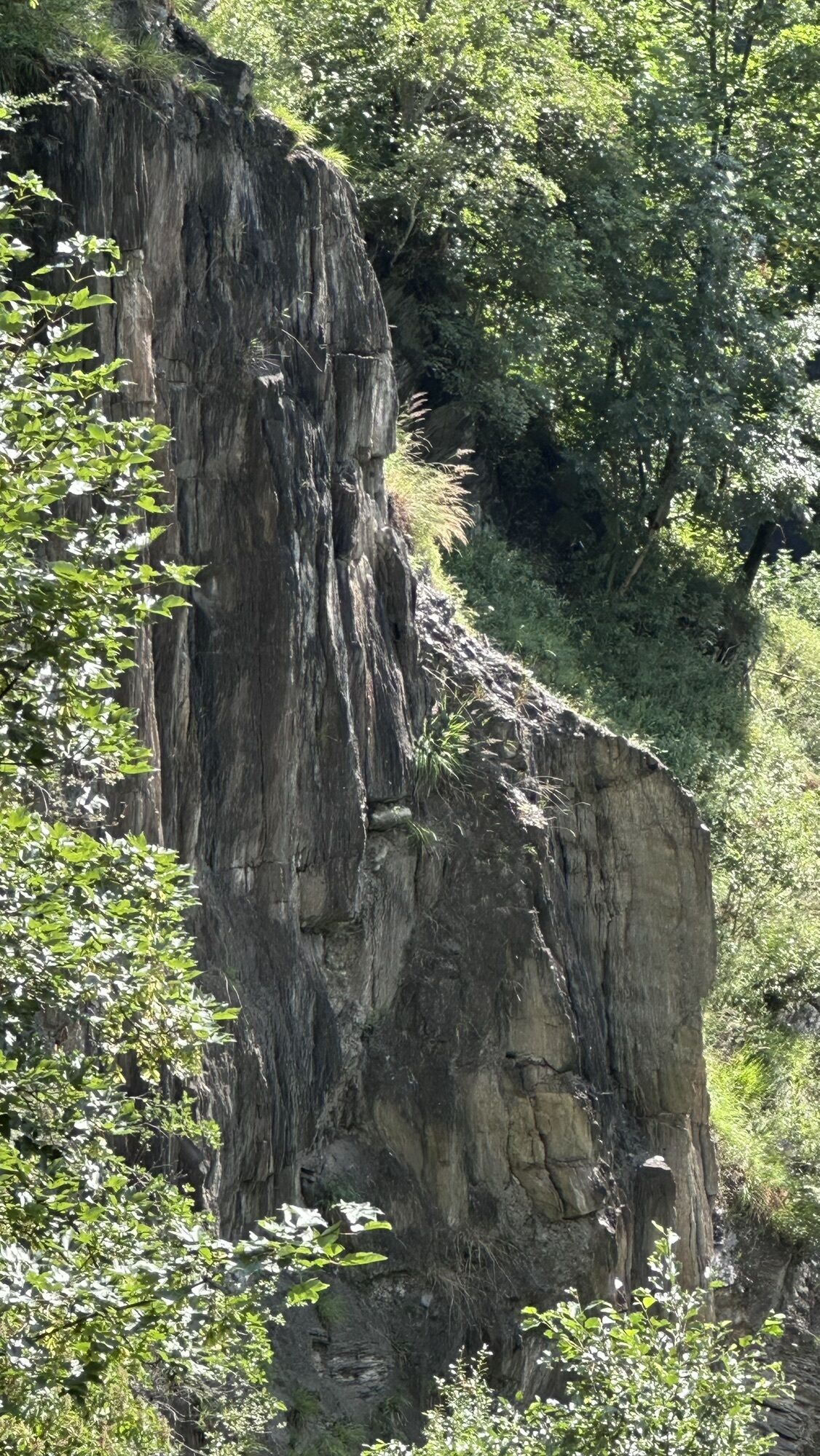
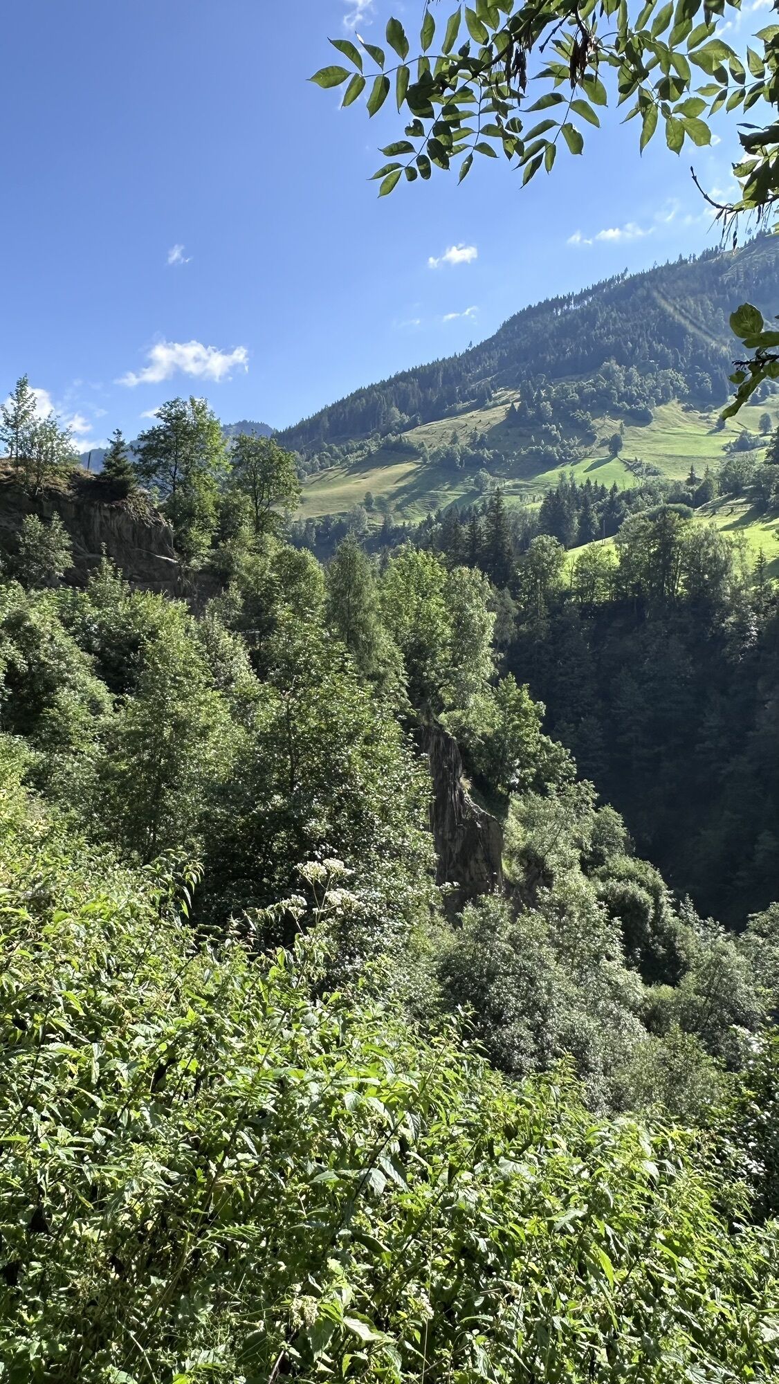
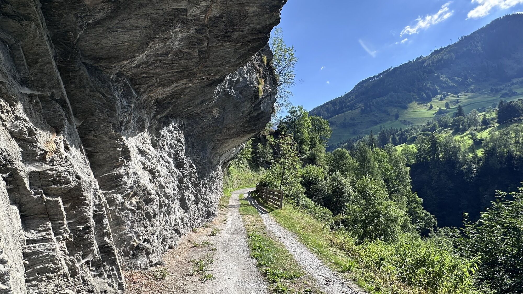
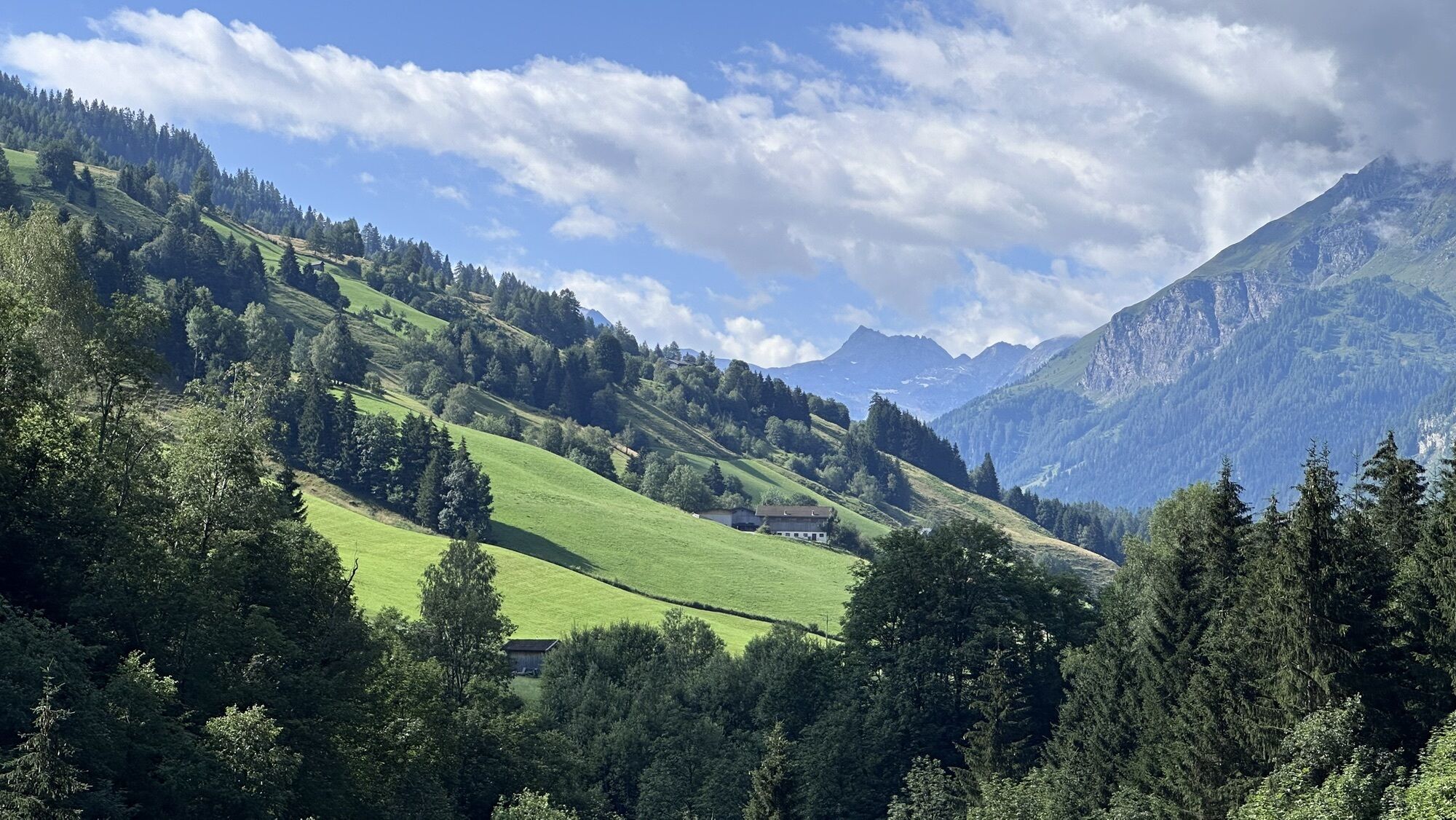
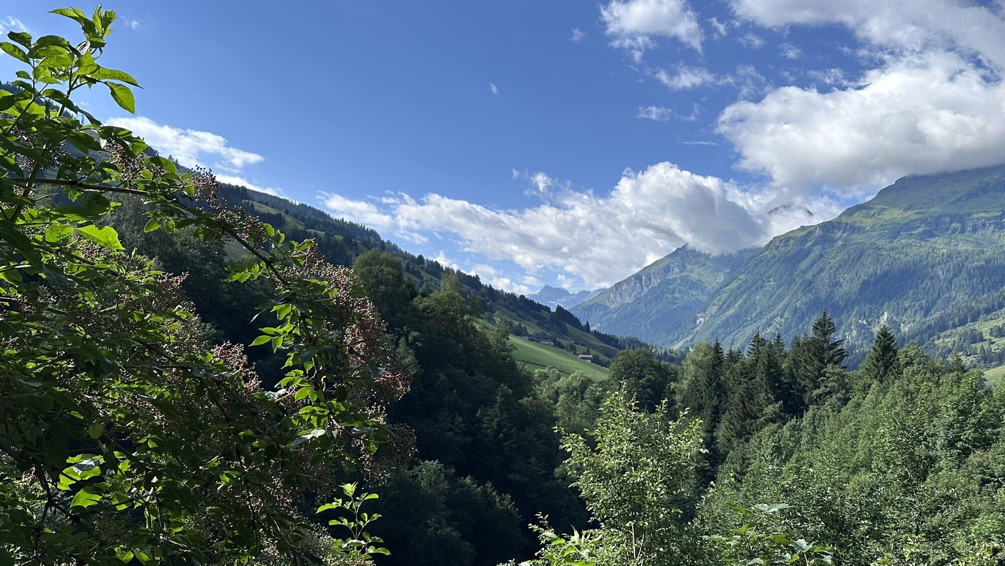
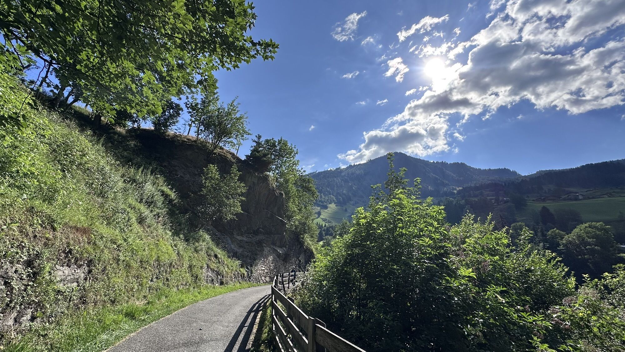
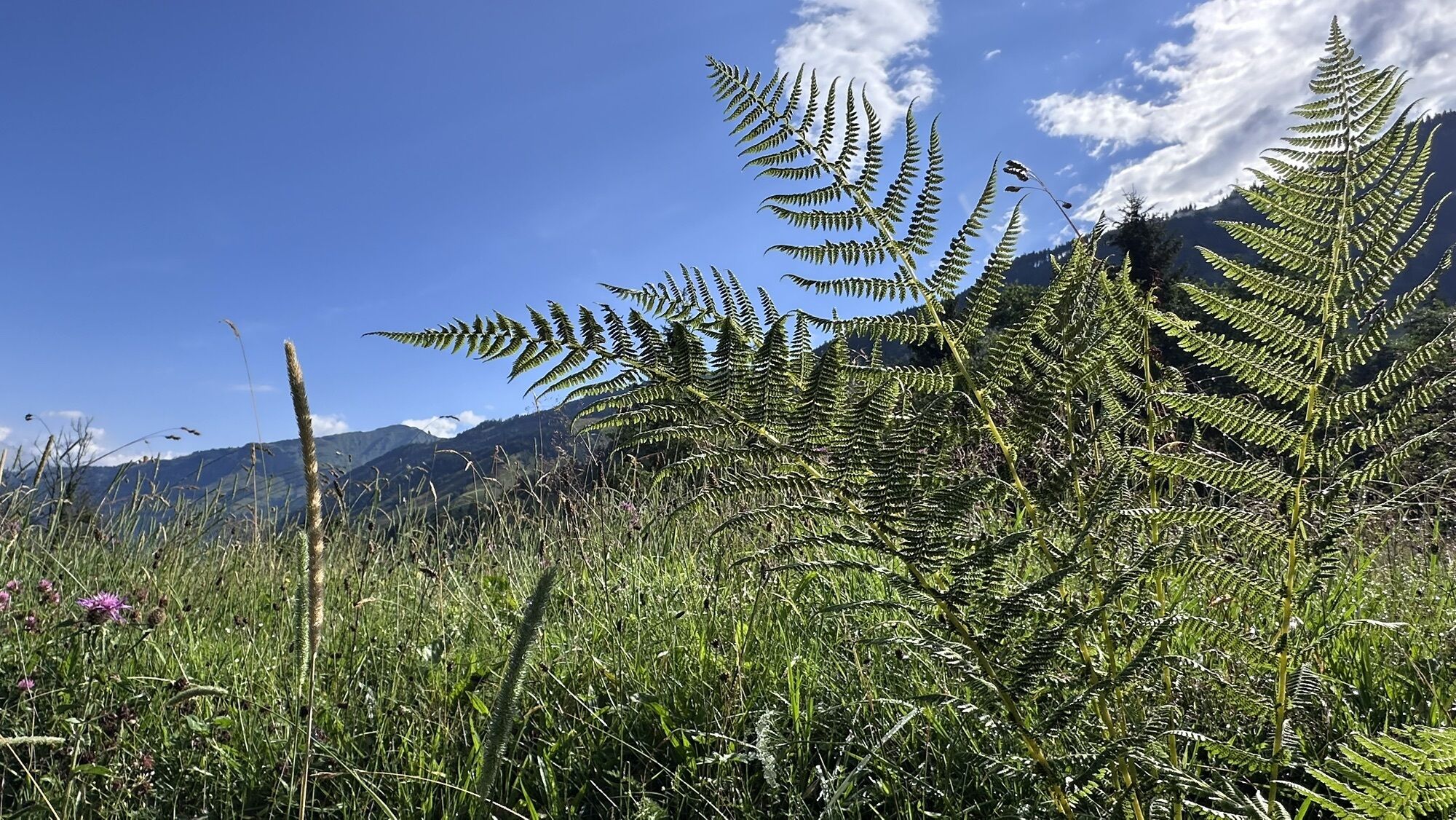
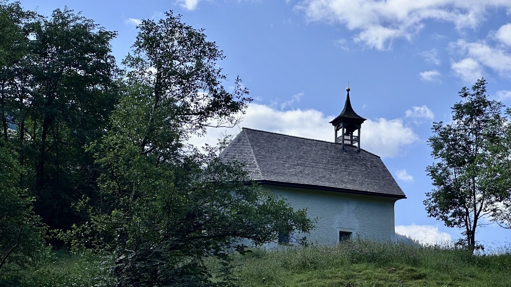
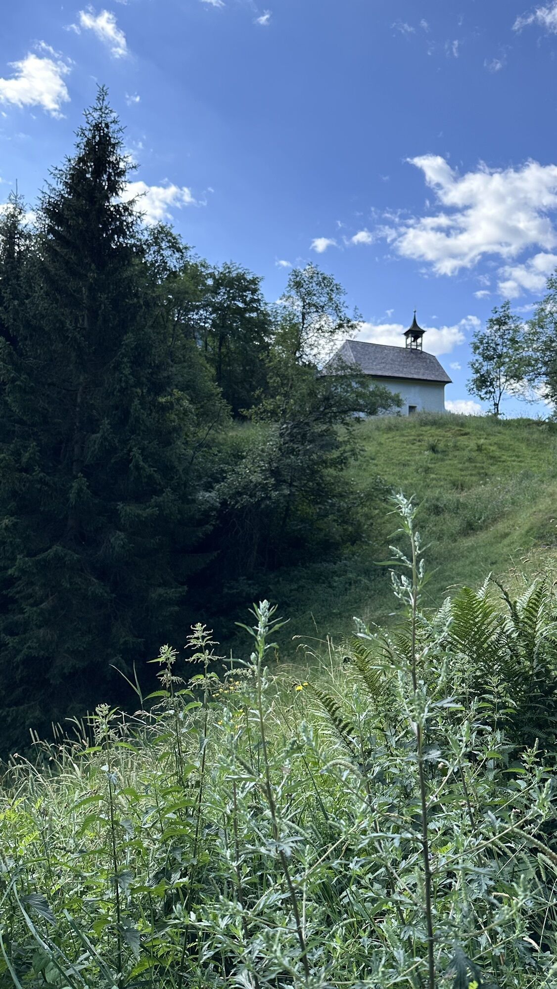
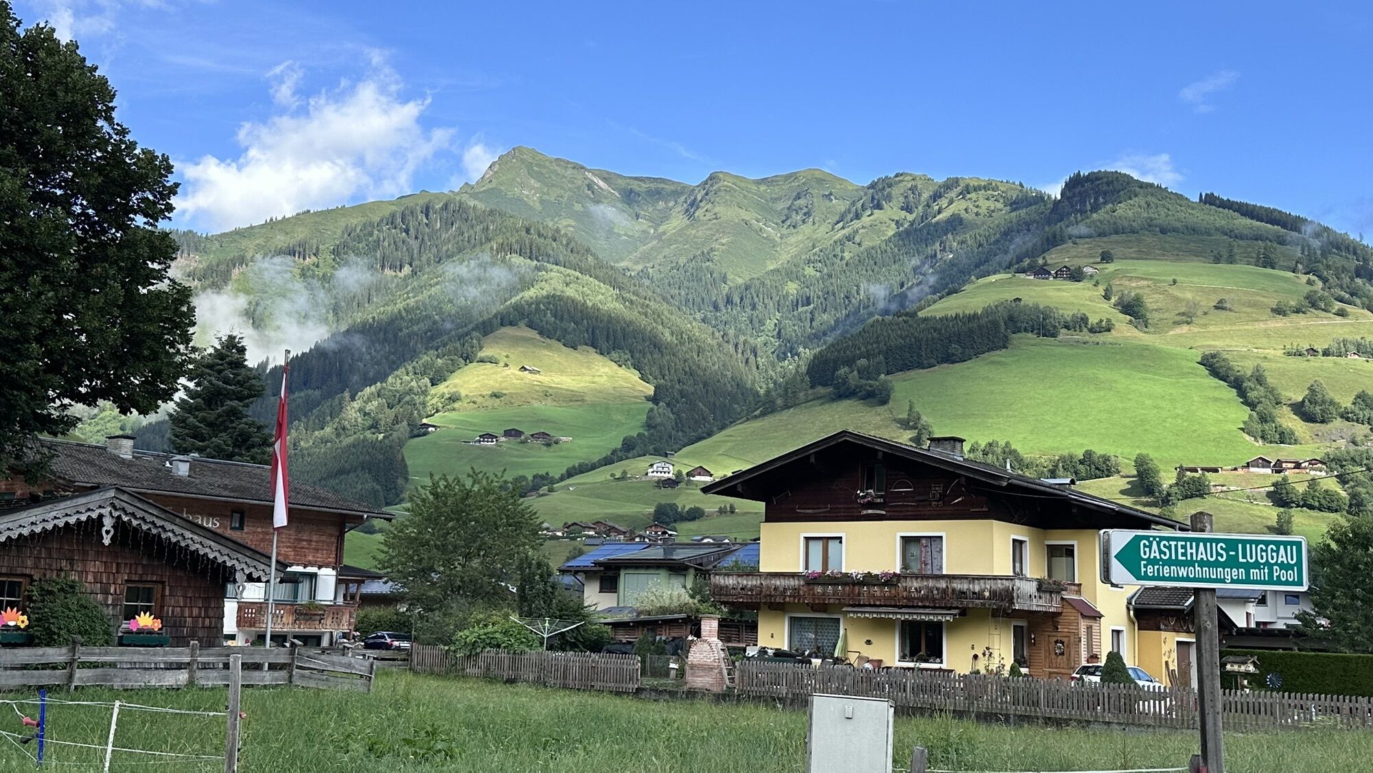
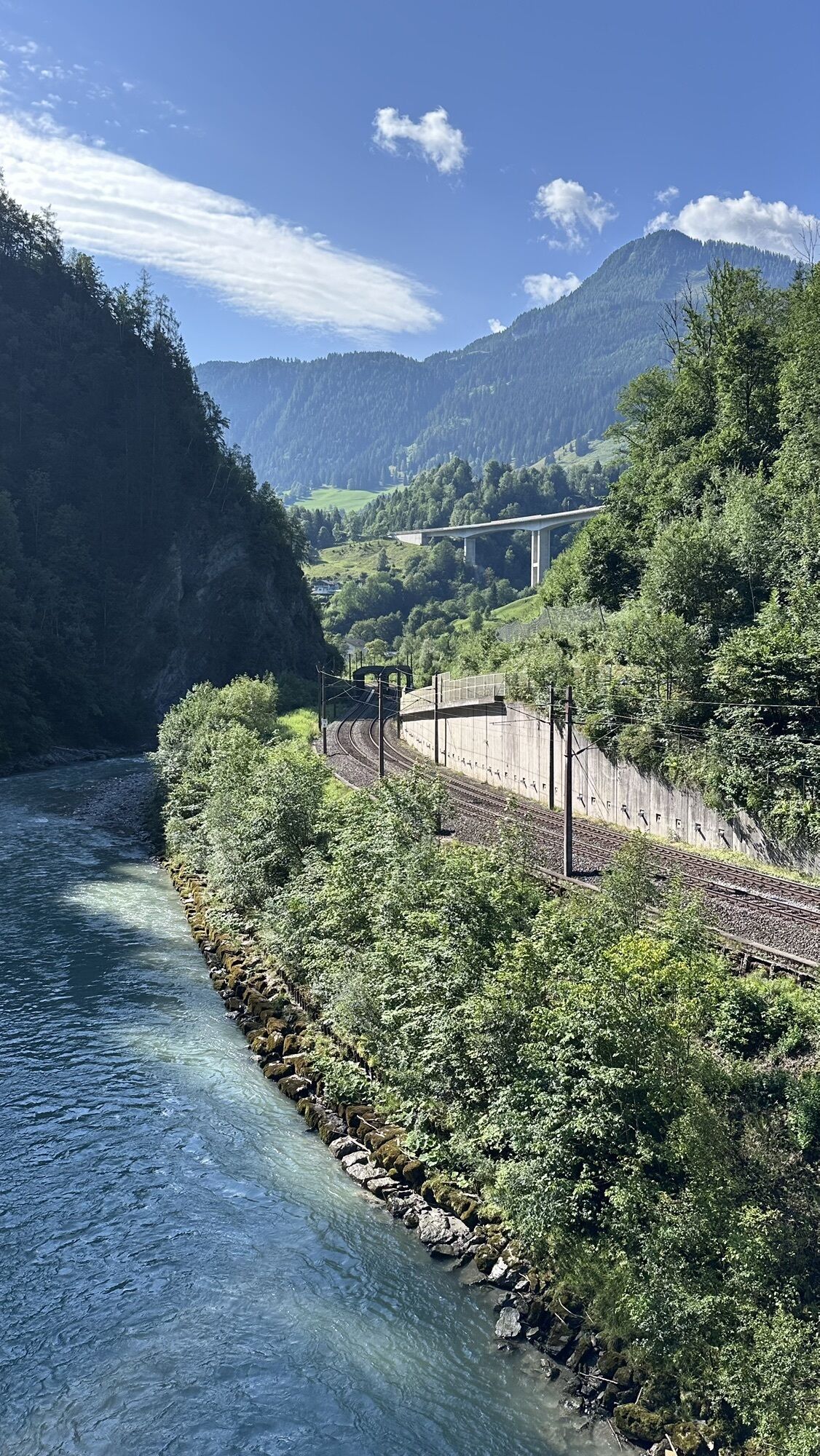
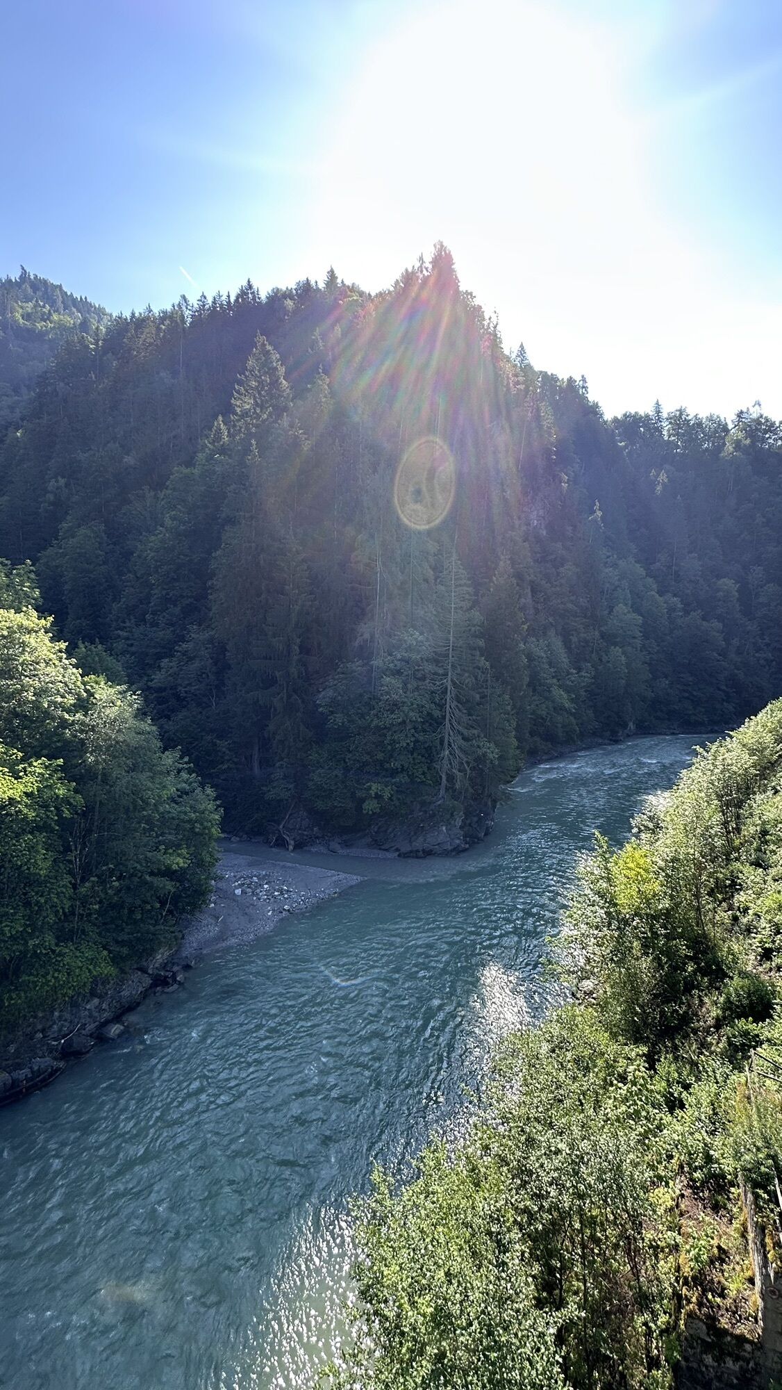
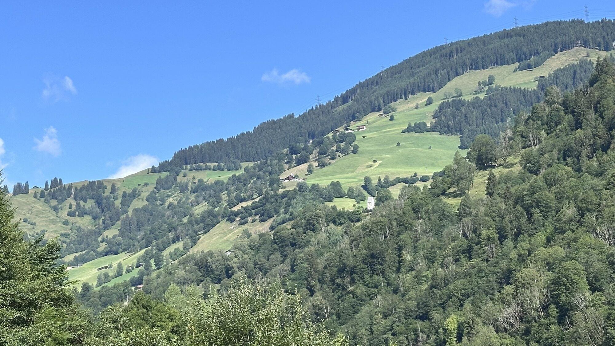
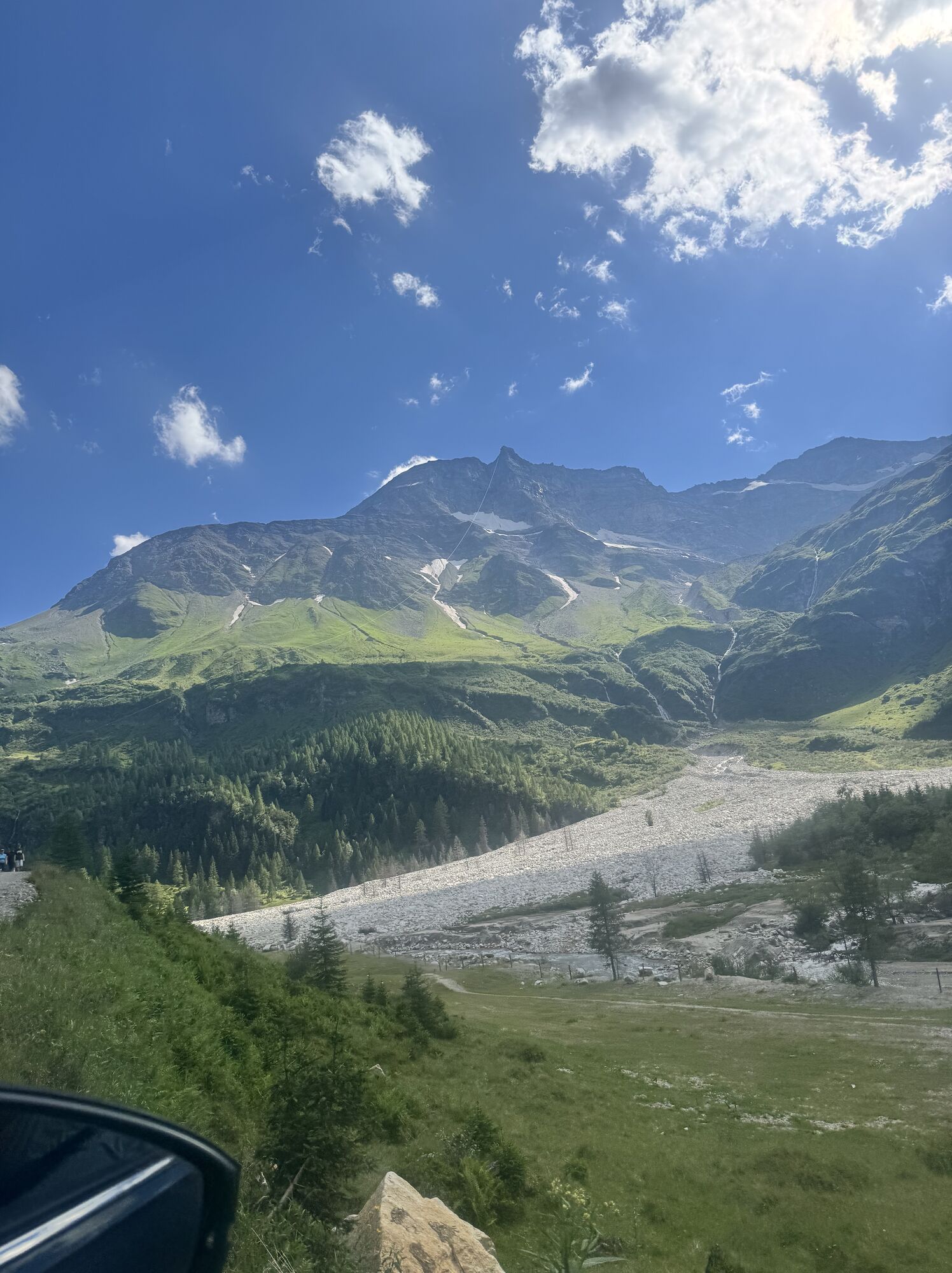
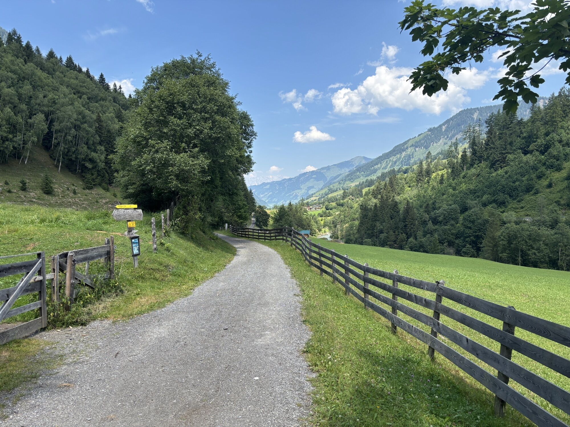
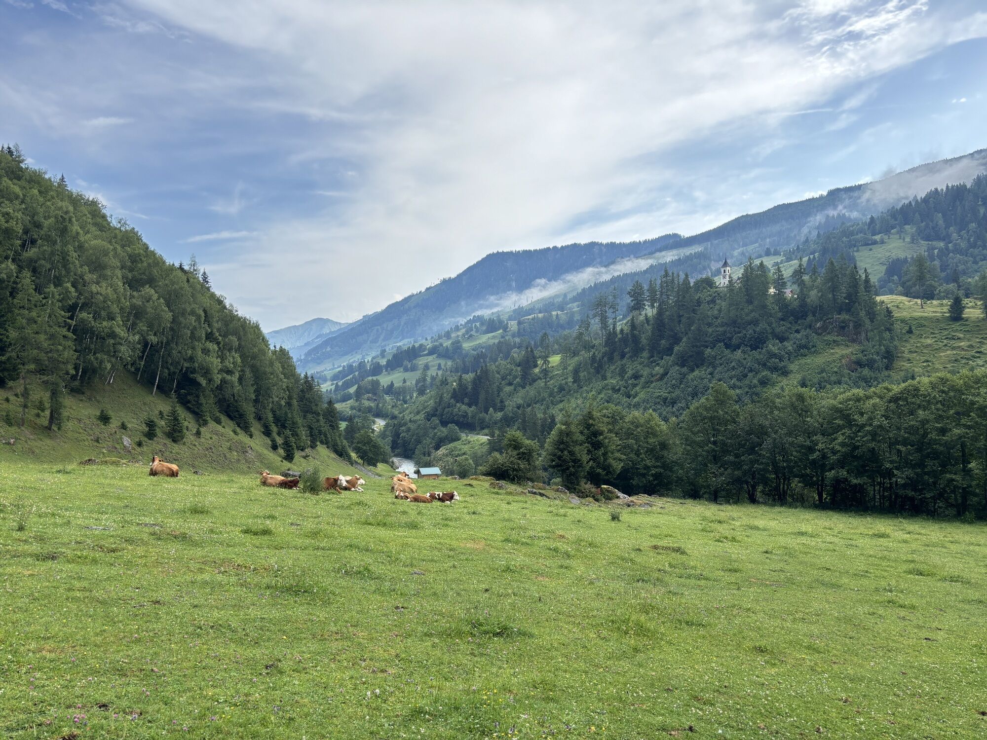
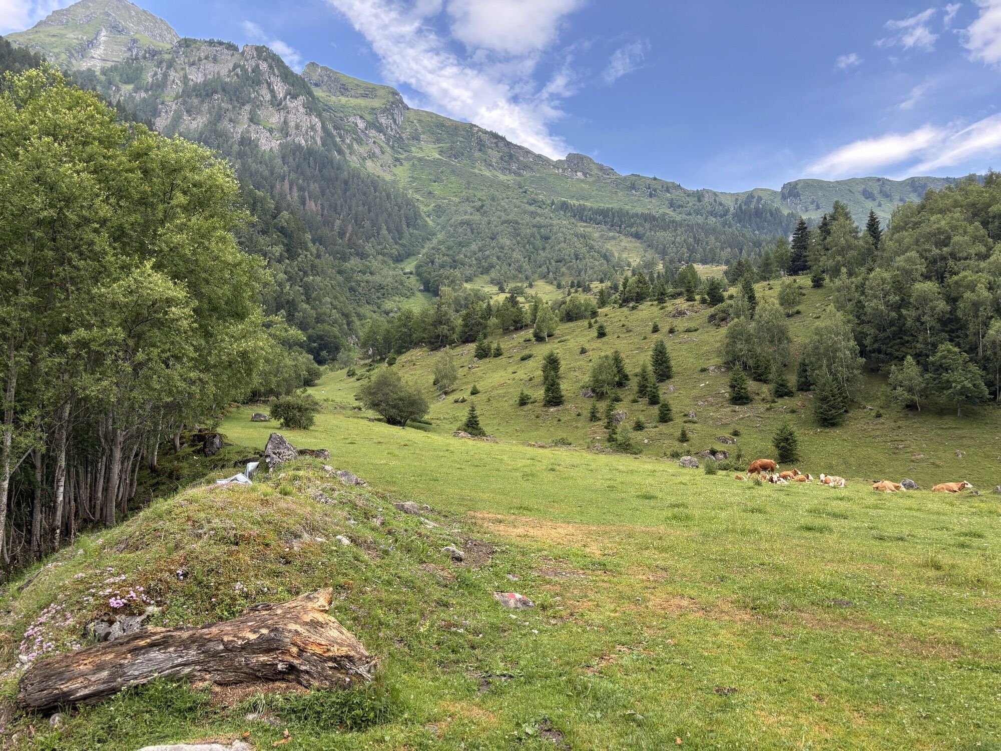
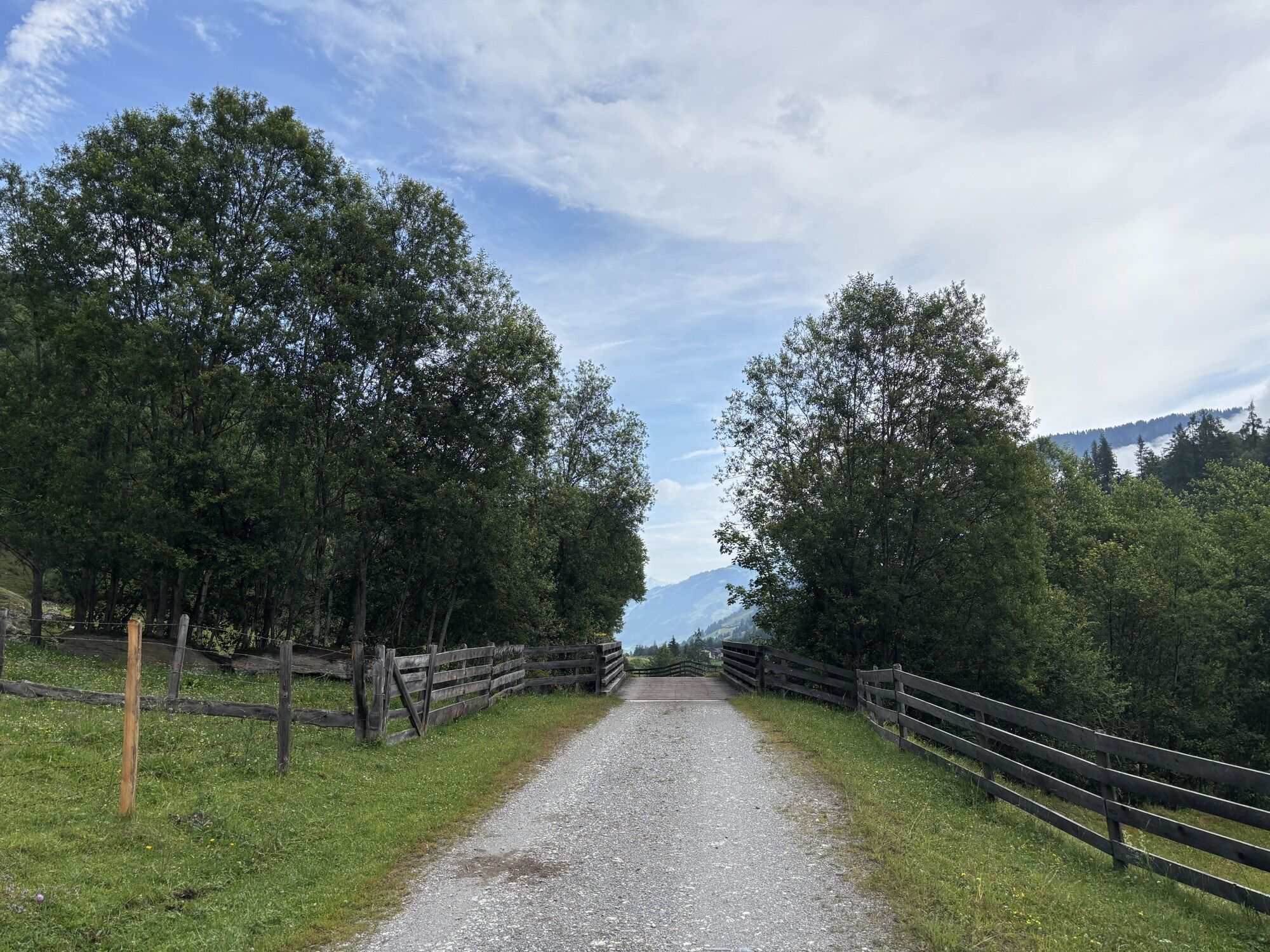
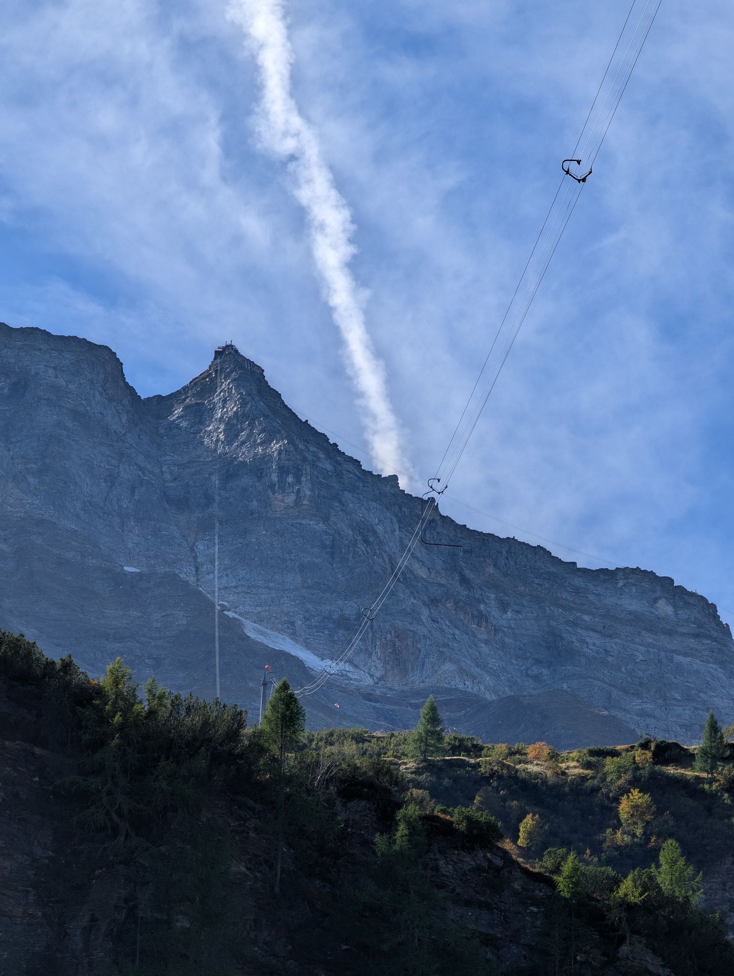
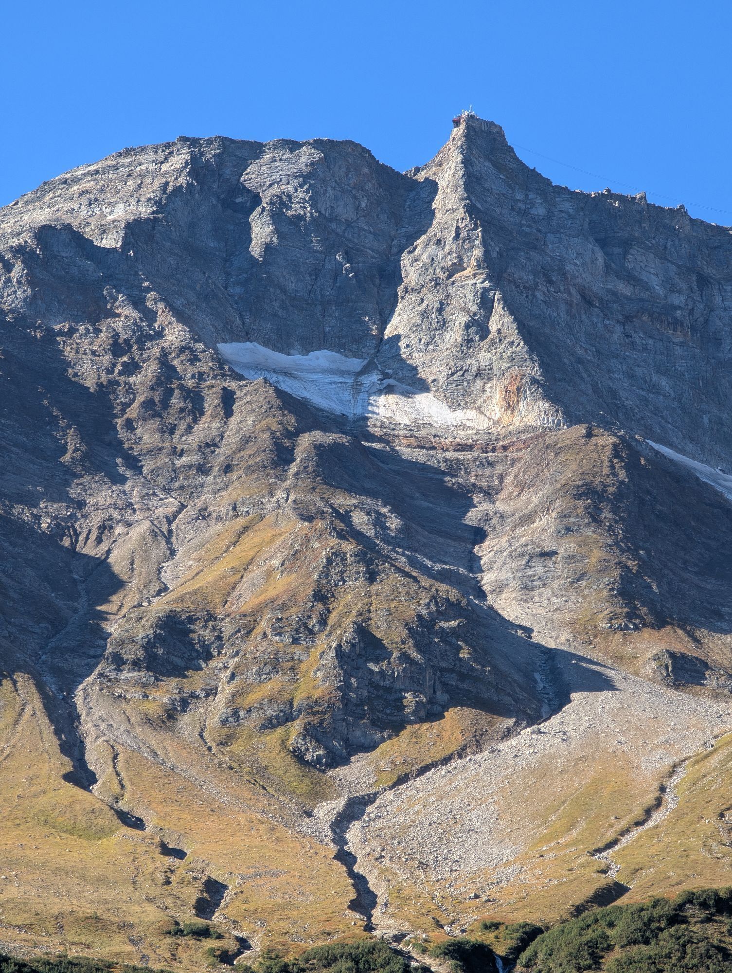
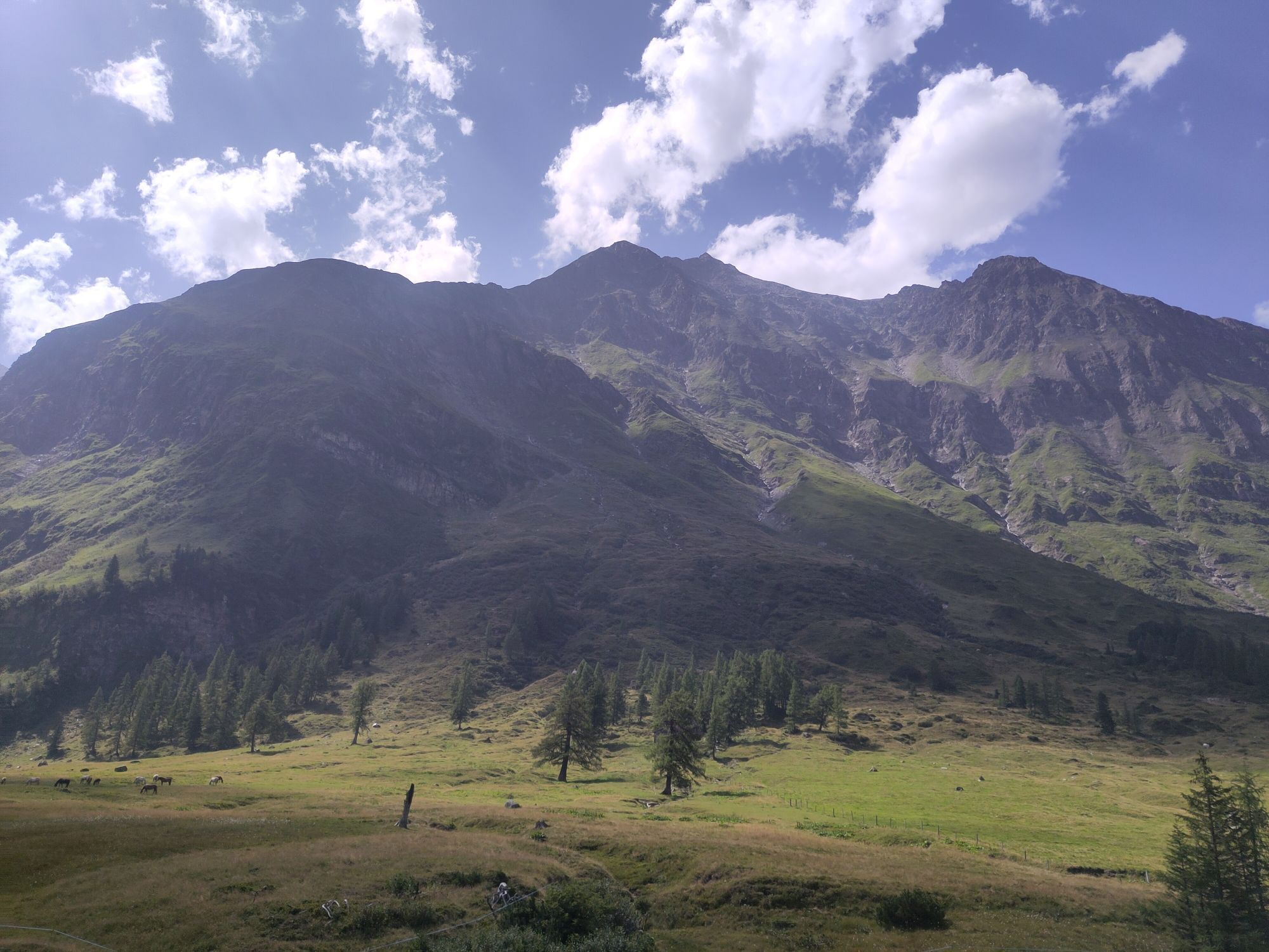
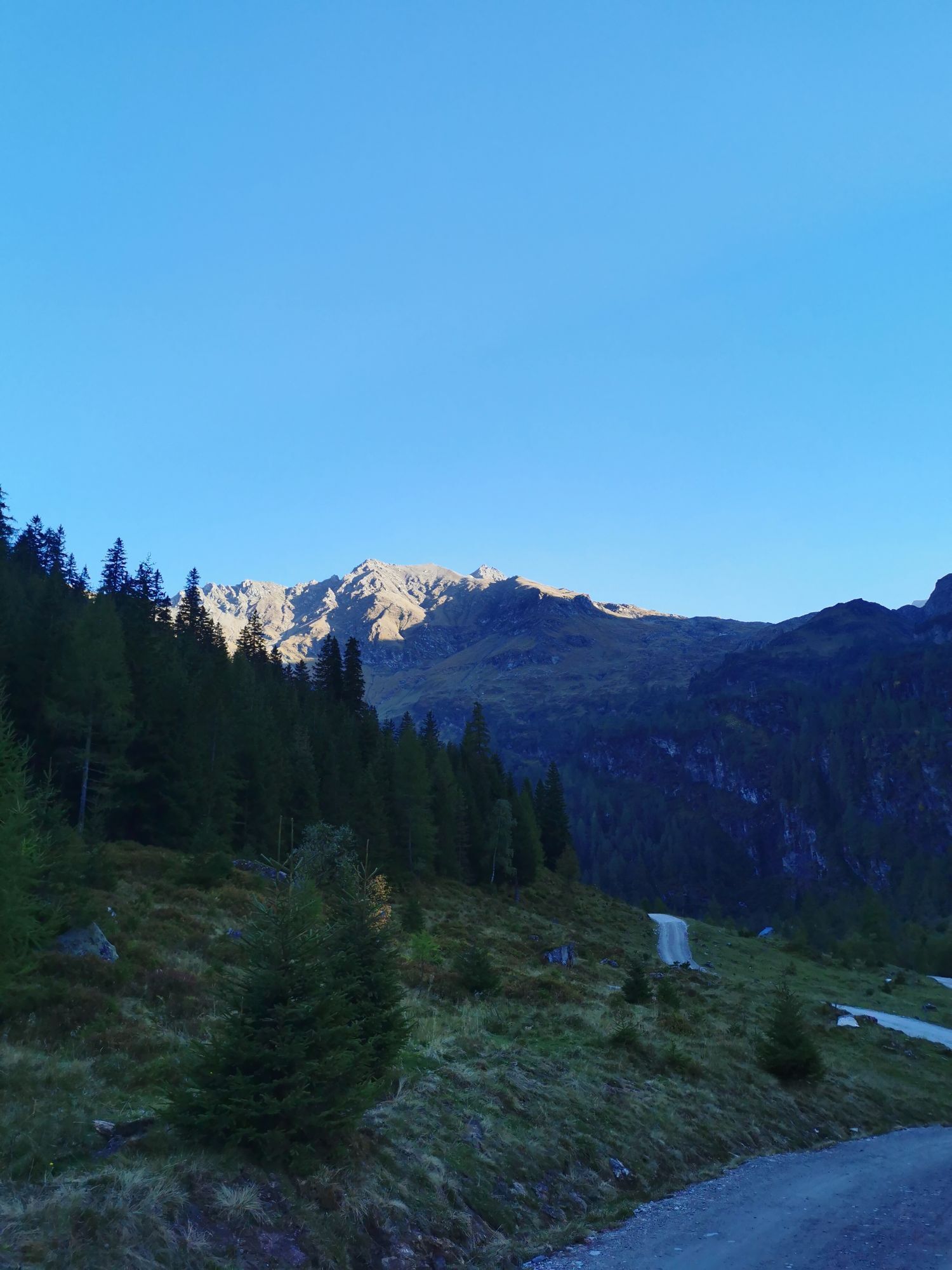
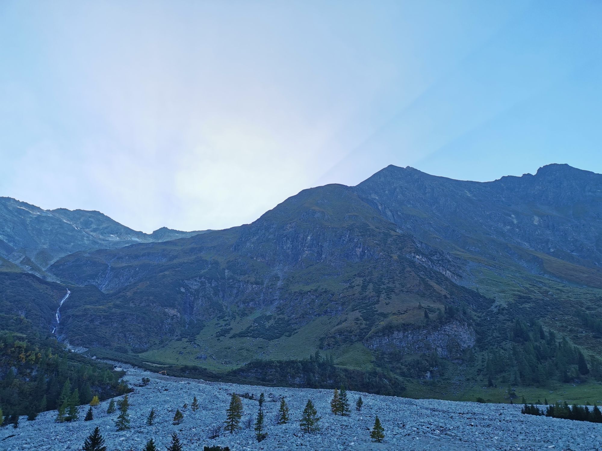
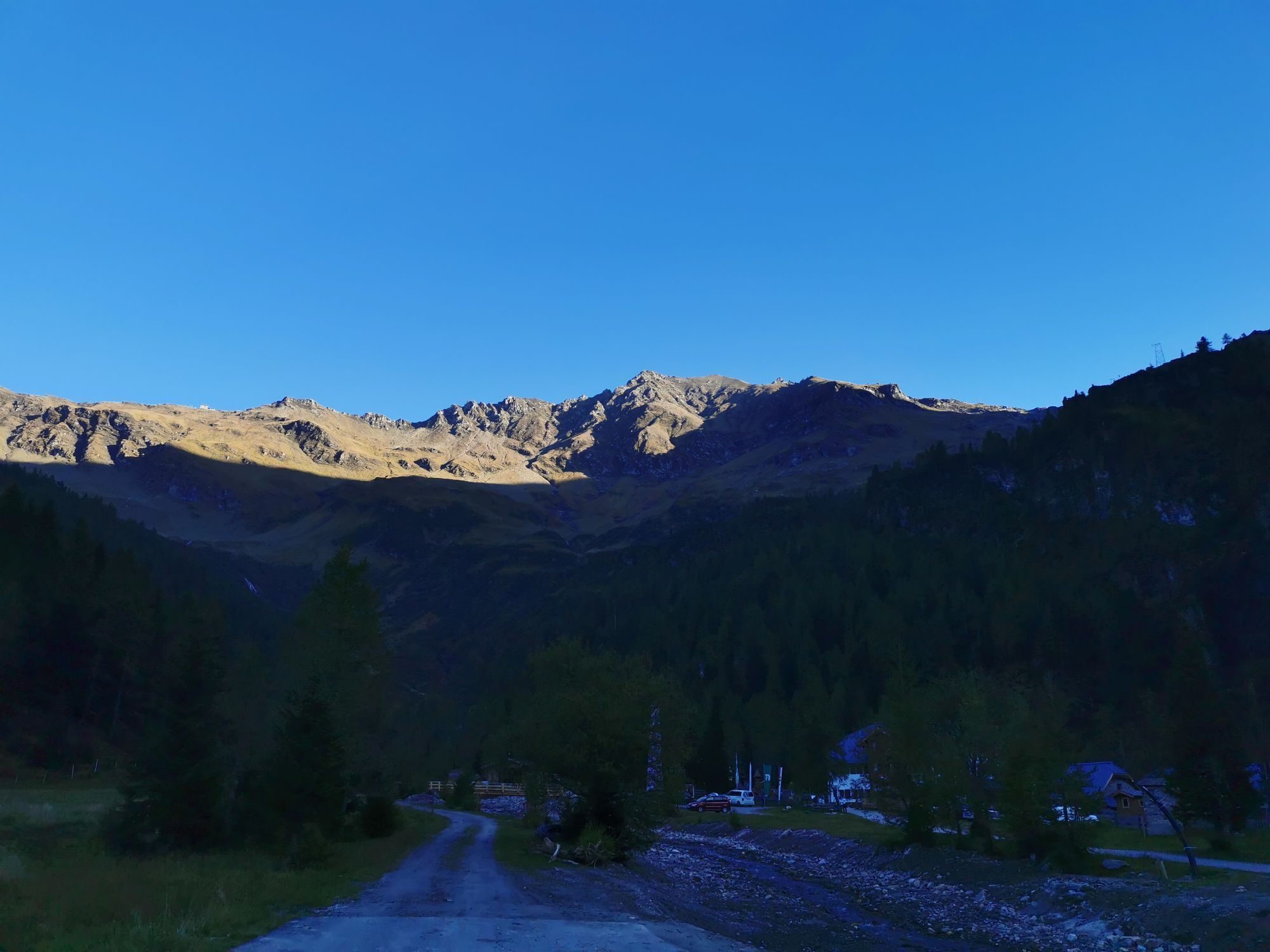
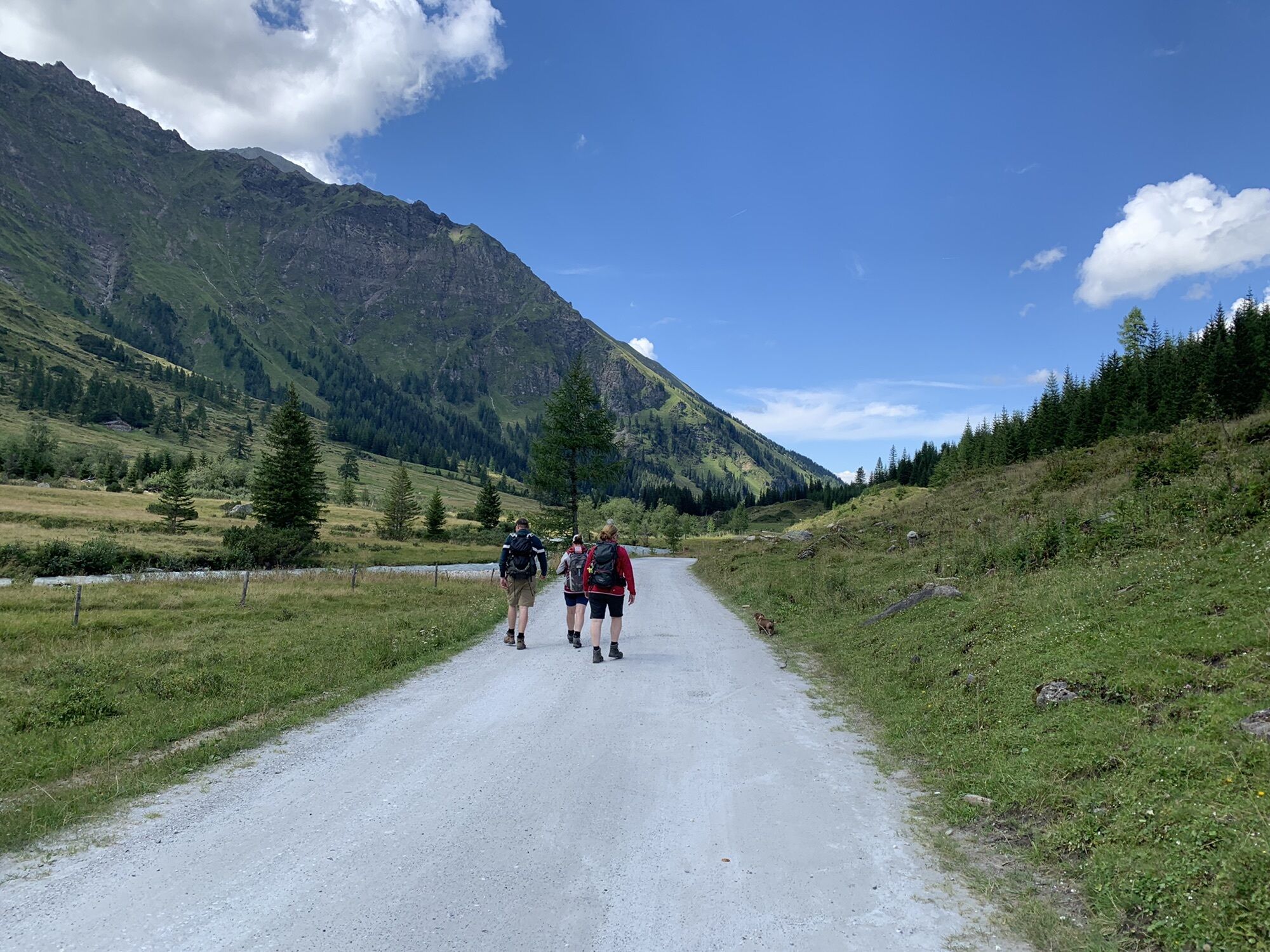
This beautiful mountain bike route is really recommended for everyone who likes to explore nature and the breathtaking landscape of the Raurisertal on two wheels. The view back to the 3,000-meter peaks...
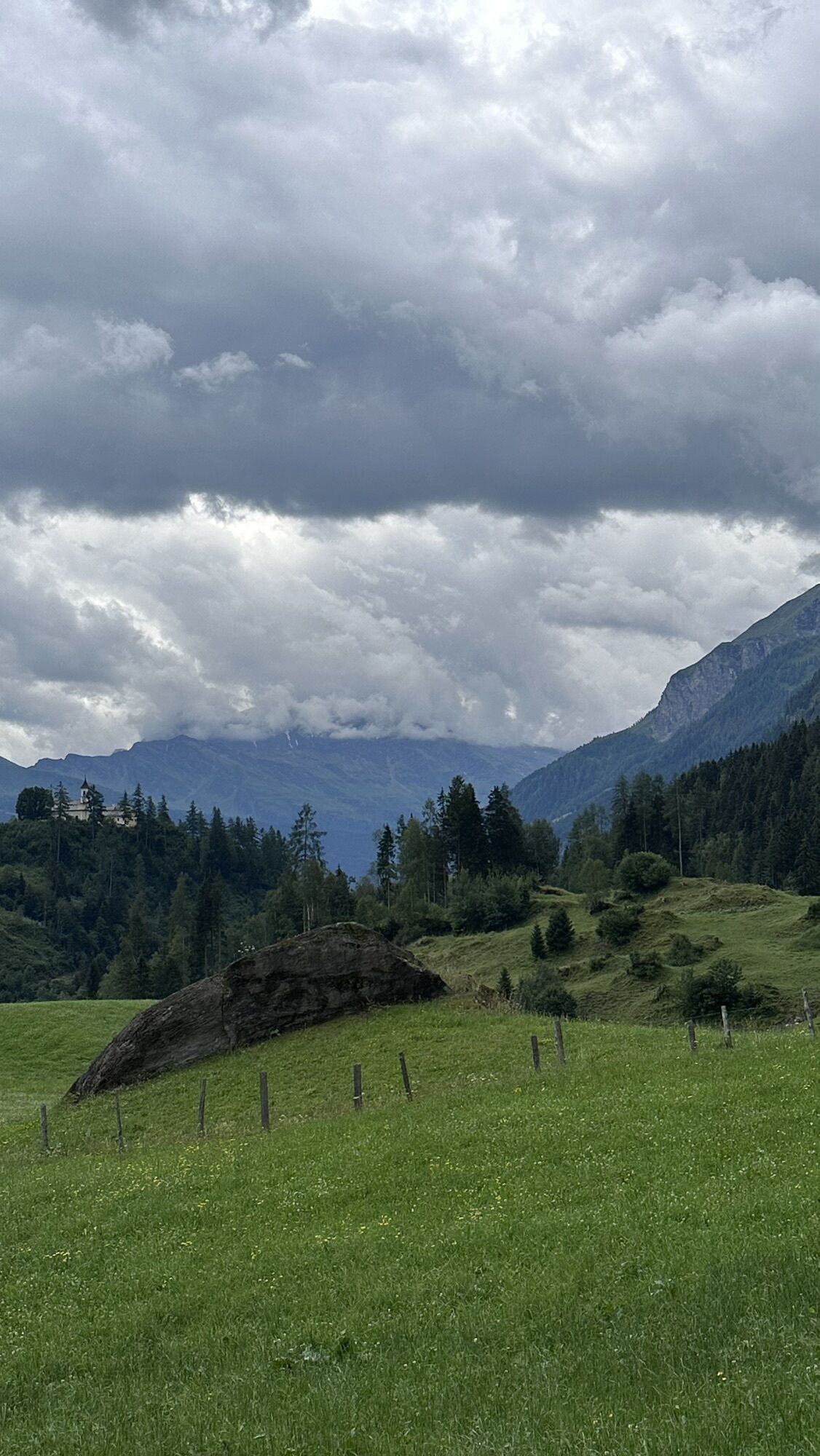
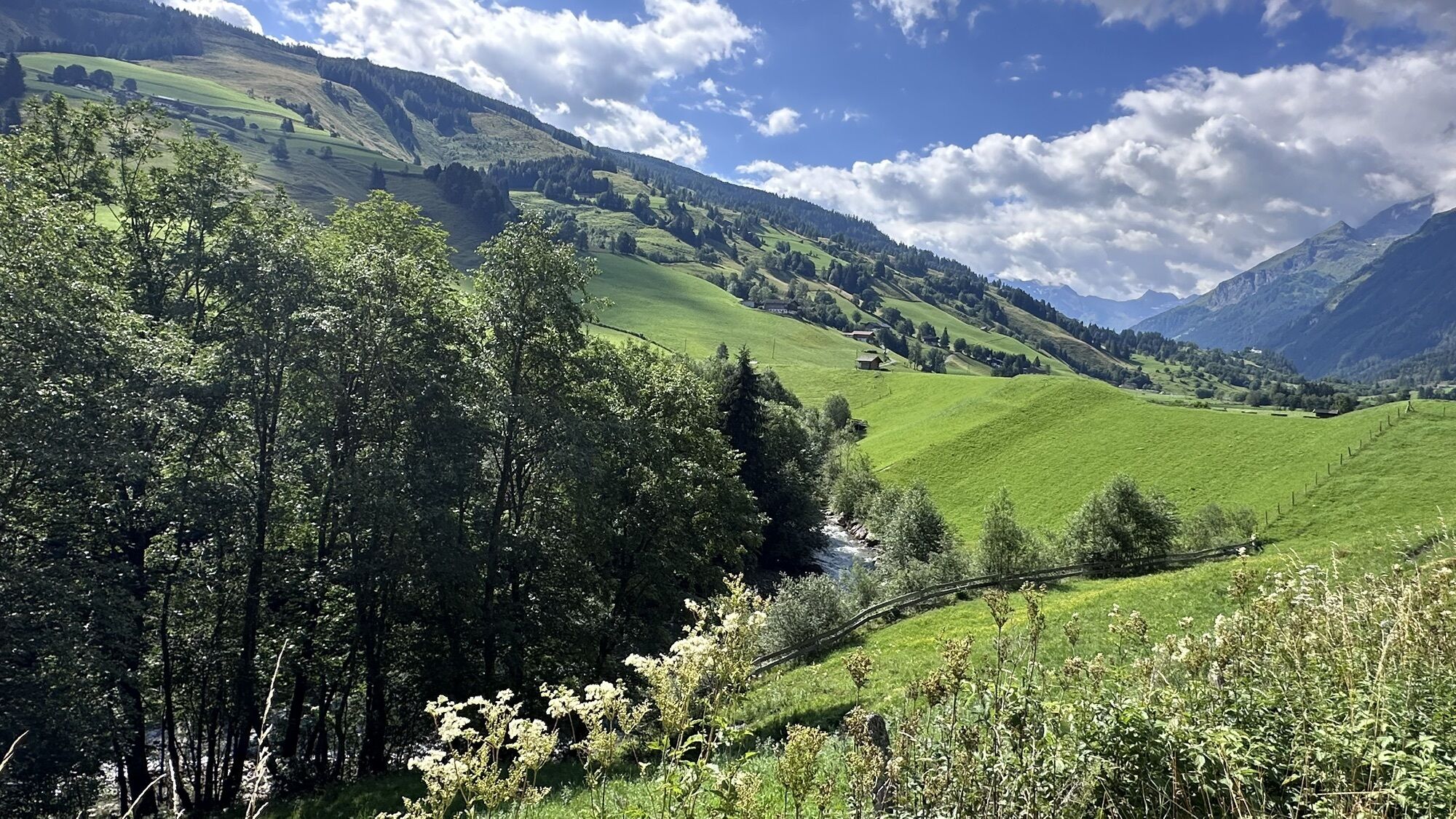
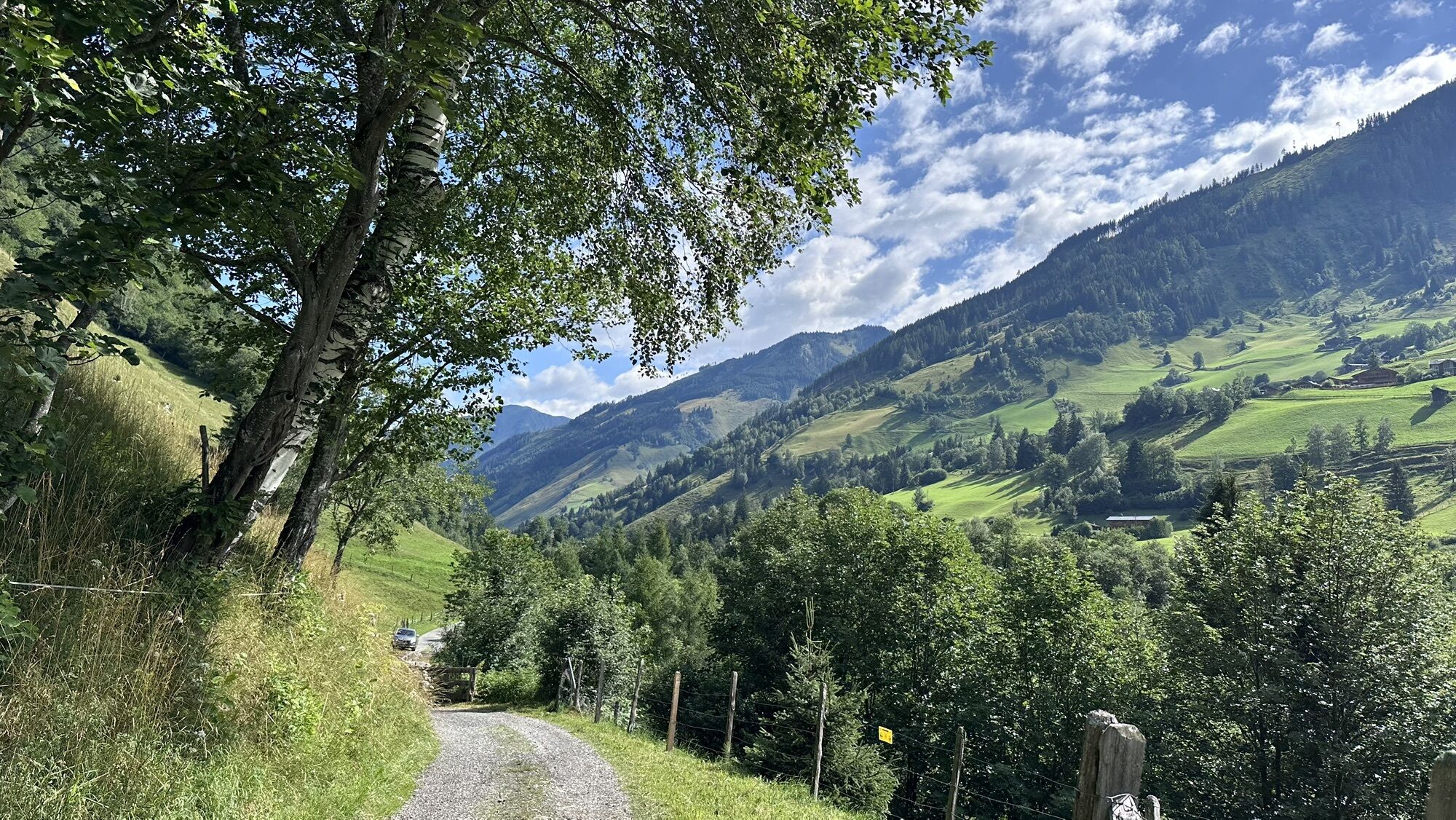
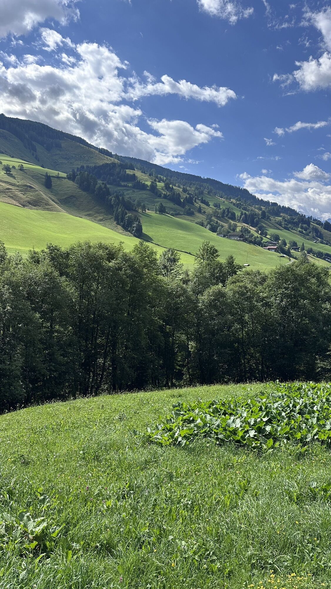
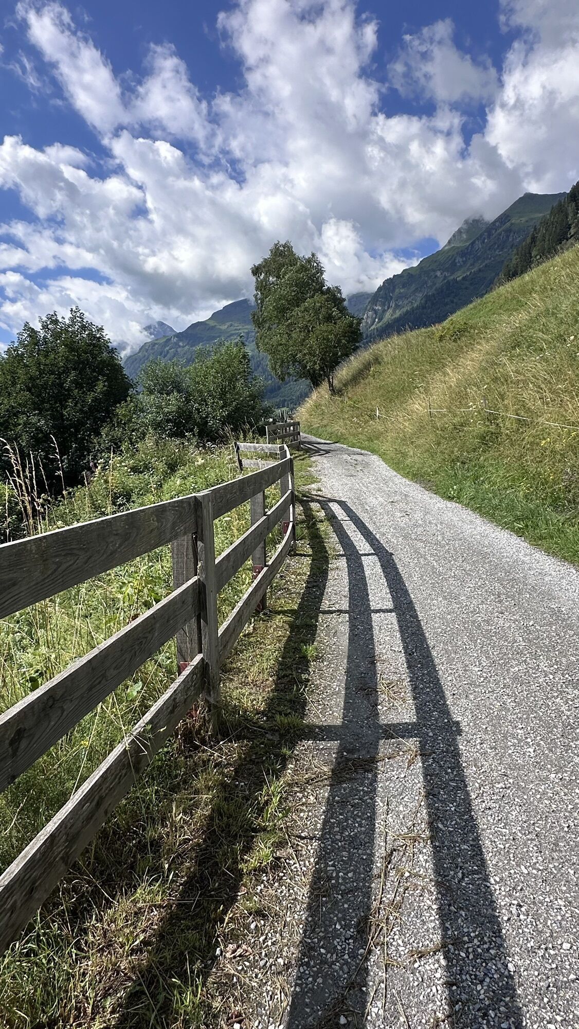
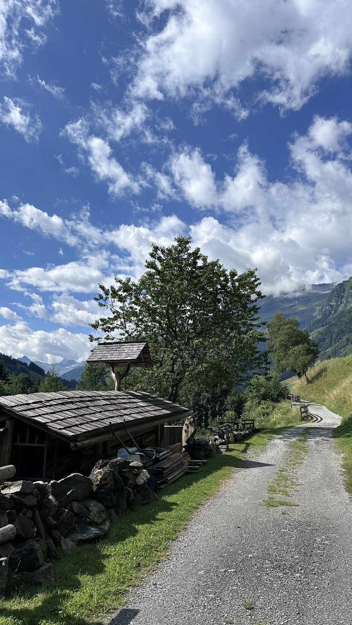
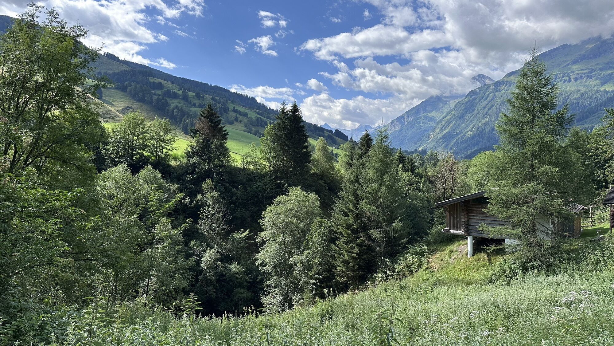
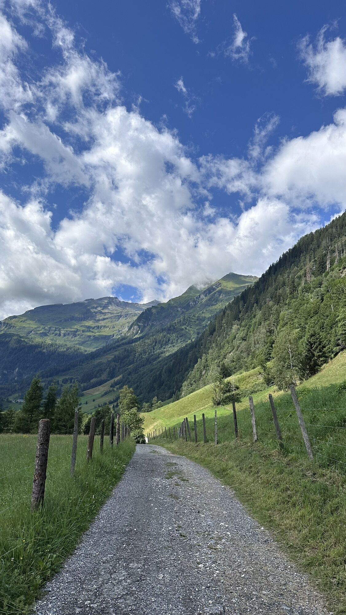
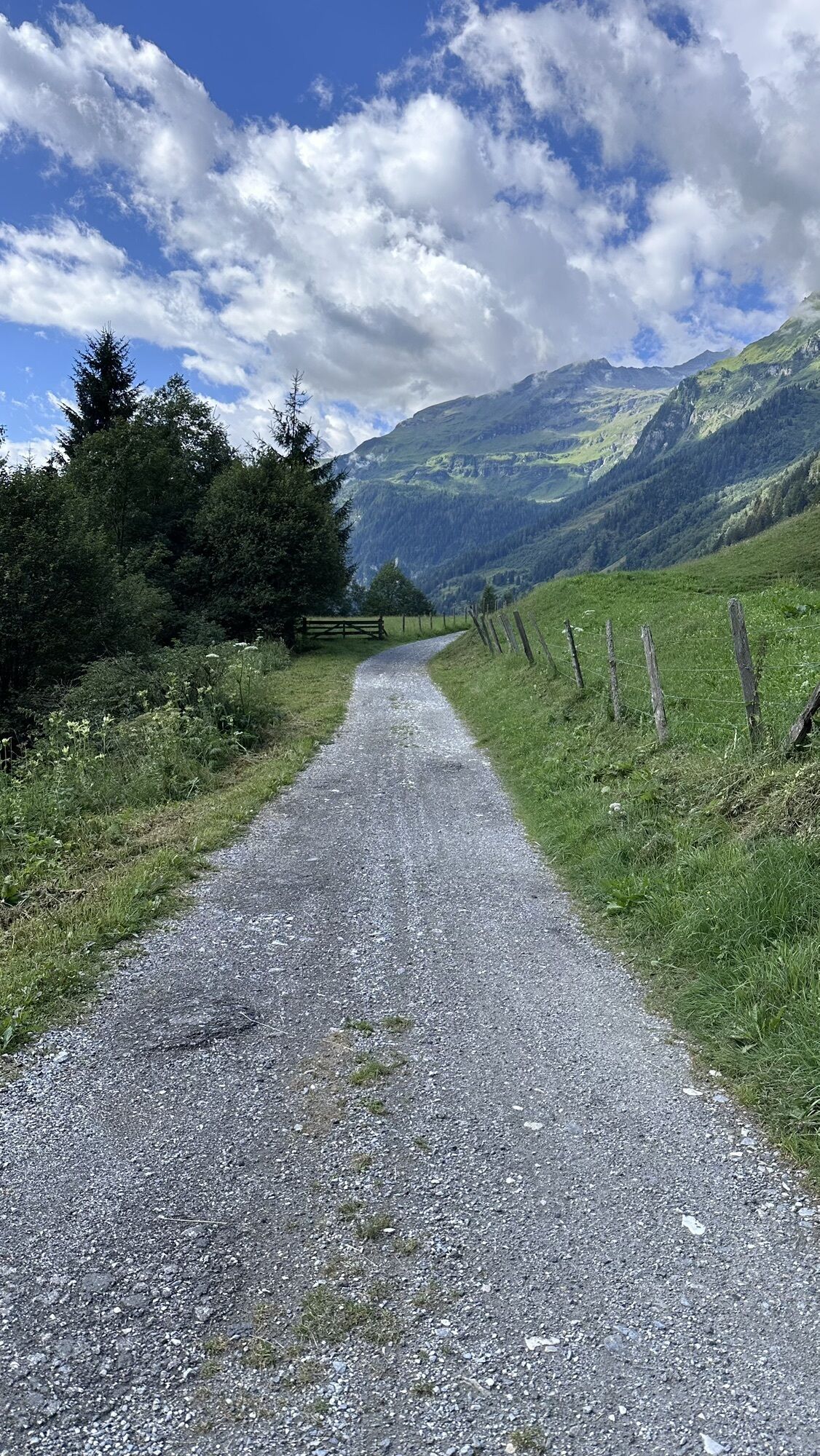
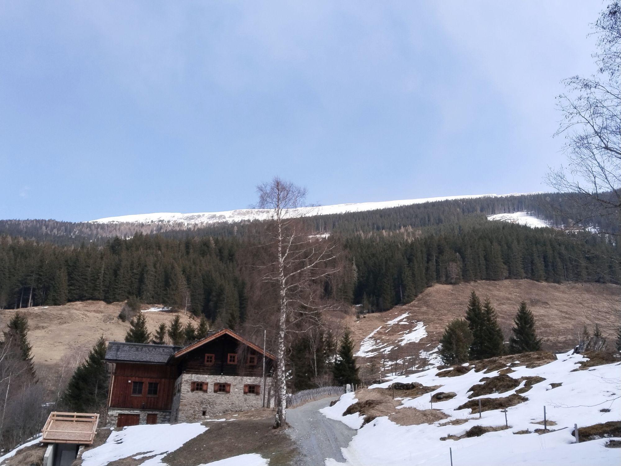
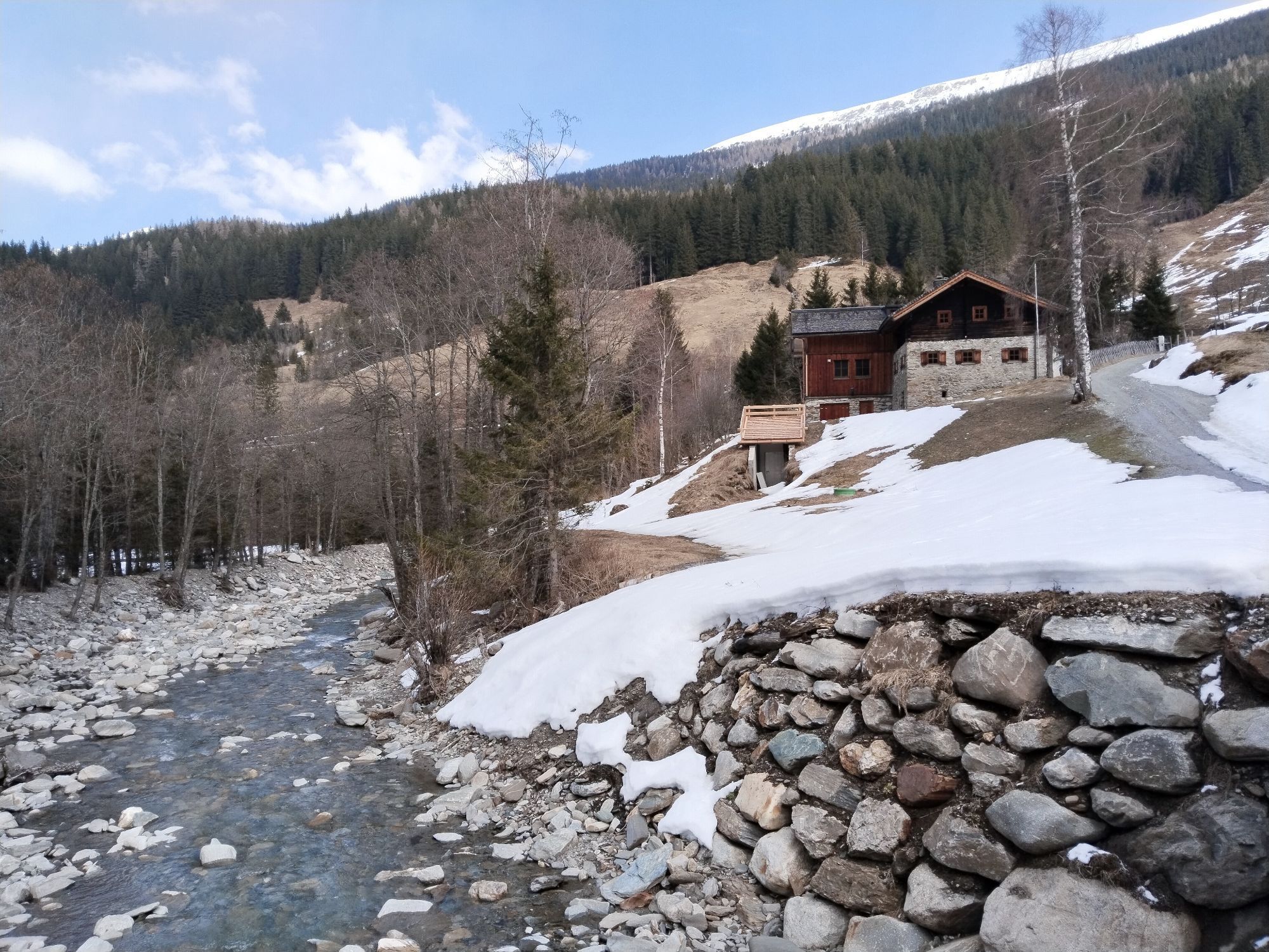
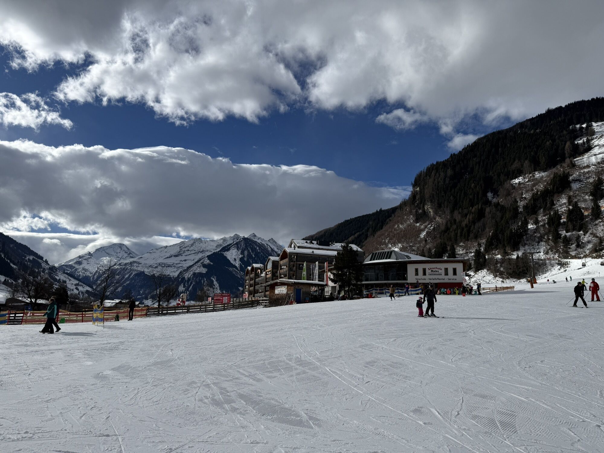
This beautiful mountain bike route is really recommended for everyone who likes to explore nature and the breathtaking landscape of the Raurisertal on two wheels. The view back to the 3,000-meter peaks while riding is unique and very impressive. The small inclines are easy to manage, and the rest of the route can be ridden comfortably on flat paths, giving you the opportunity to better enjoy the beautiful landscape around you.

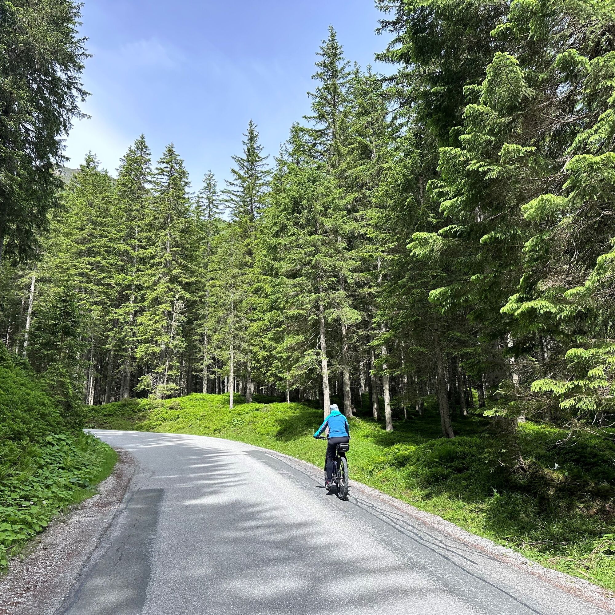

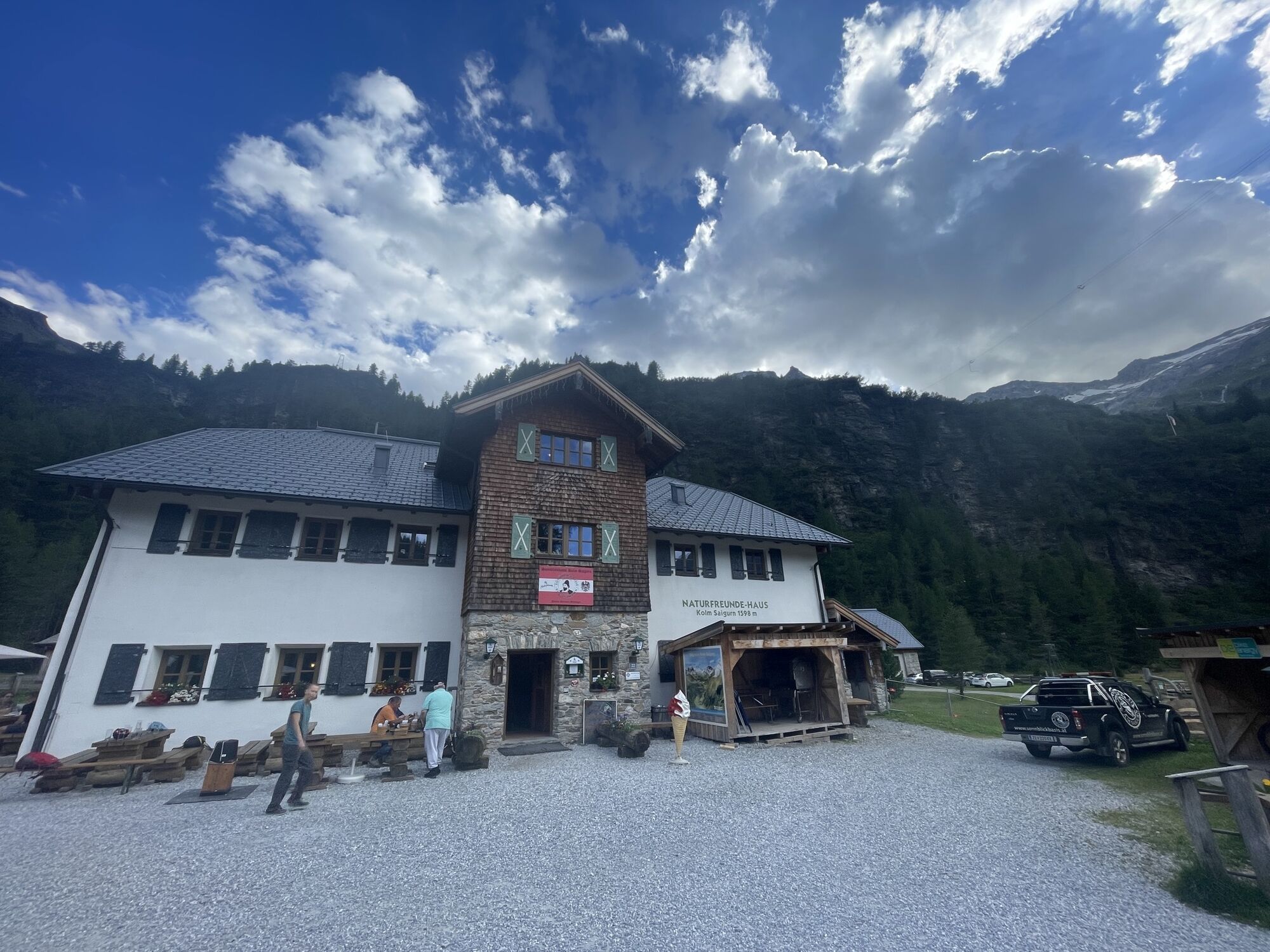
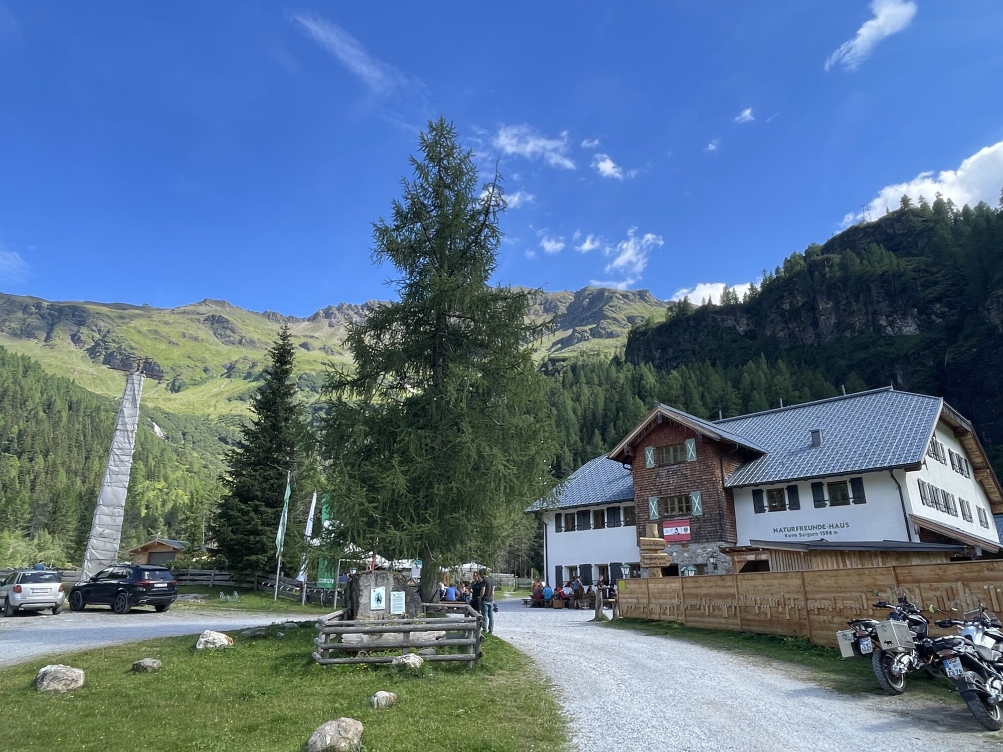
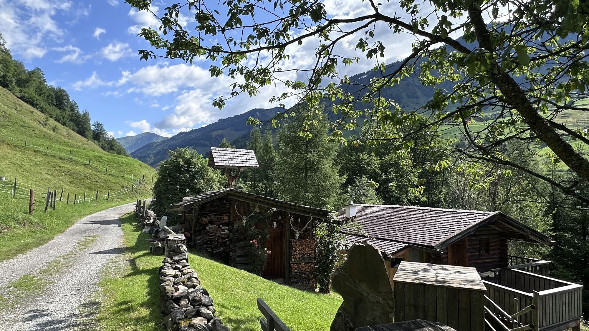
This variant of the Goldberg cycling route starts at the intersection Dientner Str. via Embach to Rauris and further to Wörth. Through Wörth, turn right into Pfandlerweg and stay on the approximately 15 km long old Buchebenstraße, passing the Almgasthaus Lechnerhäusl to the Alpengasthof Bodenhaus. From there, the Maustraße (approx. 6 km) begins to the valley end Kolm Saigurn, which leads to the Naturfreundehaus and the Ammererhof.
Tak
This mountain bike route variant of the Goldberg cycling route leads via Embach.
Stop by one of the cozy inns located directly on the Goldberg cycling route. Gasthof Andrelwirt, Almgasthaus Lechnerhäusl, Almgasthof Bodenhaus, Naturfreundehaus, and Ammererhof.
Kamery internetowe z trasy
Rauriser Hochalm
Rauris - Hotel Alpina
Sonnblick
Kolm-Saigurn / Materialseilbahn
Kleinfleißkees
Schareck / Mölltaler Gletscher
Rauris Tal
Golfplatz Goldegg
Golfplatz Goldegg
Waldalmbahn
Waldalmbahn
Waldalmbahn
Waldalmbahn
Waldalmbahn
Waldalmbahn
Goldbergkees
Goldbergkees2
Gamskopf/Rauris
Gletscher - Eissee
Gletscher - Panorama
Bergstation Altecklift
Embach
Pension Theresa Rauris
Bodenhaus / Rauris
Rauris
Bodenhaus / Rauris
Bodenhaus / Rauris
Bodenhaus / Rauris
Bodenhaus / Rauris
Bodenhaus / Rauris
Bodenhaus / Rauris
Uzyskaj wgląd Zawsze na żywo z ponad 9 500 kamer internetowych. bergfex Jako użytkownik Pro, możesz teraz zobaczyć odpowiednie kamery internetowe dla wielu wycieczek w aplikacji wycieczki od. Pozwala to na bezpośredni podgląd aktualnych warunków. Popularne wycieczki w okolicy
- 4,5
Gasteiner Höhenweg von Bad Gastein nach Bad Hofgastein
światłoWędrówka 8,58 km - 5,0
Silberpfennig, Salzburger Land/Österreich
średniWędrówka 13,8 km - 4,8
Highlight Kitzlochklamm Classic round
średniWędrówka 2,02 km - 4,6
Bad Hofgastein Bergbahn Parkplatz - Rastötzenalm Bad Hofgastein
średniMountainbike 16,9 km - 4,6
Bahnhof Bad Hofgastein nach Bahnhof Bad Gastein
średniWędrówka 13,0 km - 4,2
Wasserfall Bad Hofgastein
światłoWędrówka 3,89 km - 4,5
Böckfeldalm-Stubnerkogel Mittelstation
średniWędrówka 10,9 km - 5,0
Türchlwand von der Bergstation Schlossalmbahn Bad Hofgastein, Österreich
średniWycieczki górskie 7,05 km - 4,9
Bad Gastein - Poserhöhe - Gamskarkogel
ciężkiWędrówka 18,6 km - 4,8
Rifflscharte - Kolmkarscharte - Bockhartscharte - Sportgastein
średniWędrówka 13,5 km
Wędrówki i tropienie


Nie przegap ofert i inspiracji na następne wakacje
Twój adres e-mail została dodana do listy mailingowej.





