



SH 72 Hennerleiter - Route

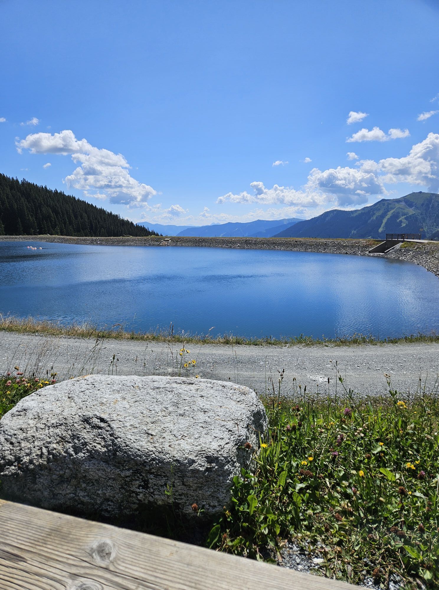
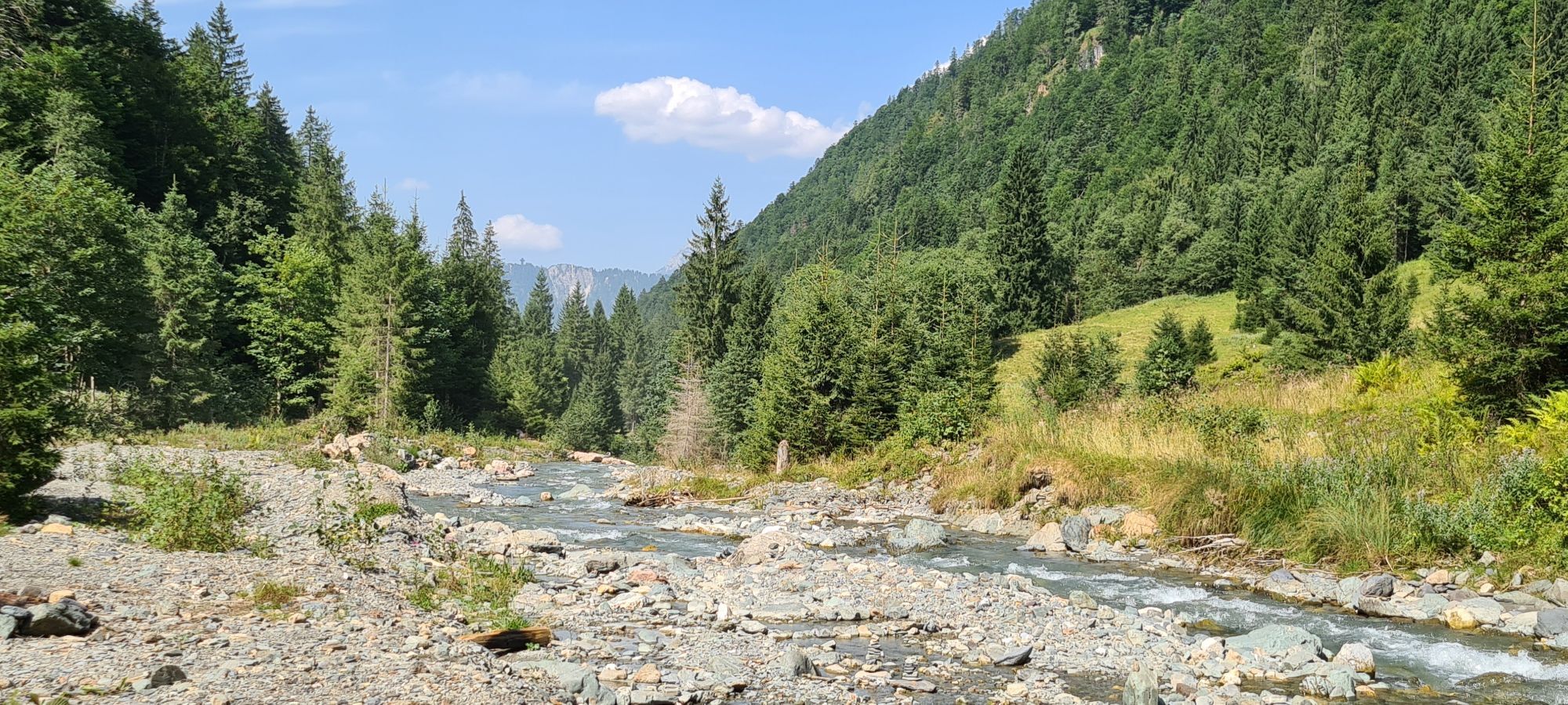
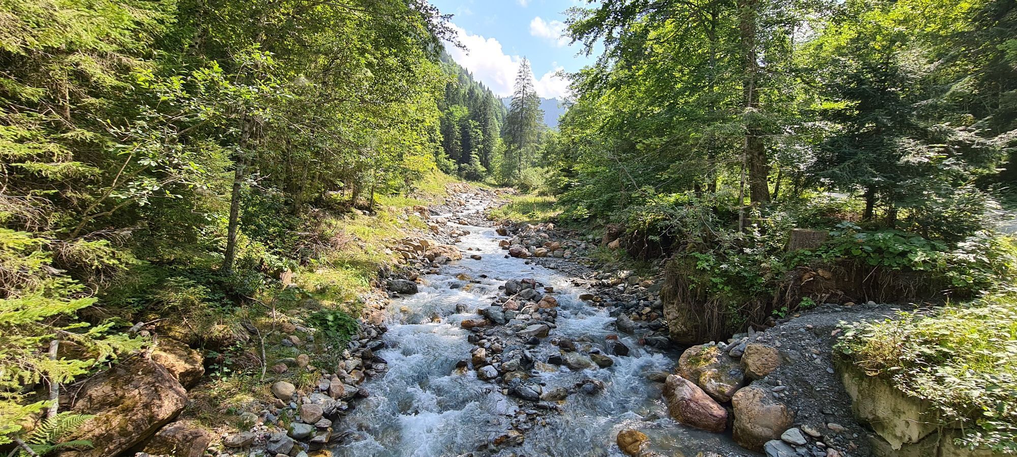
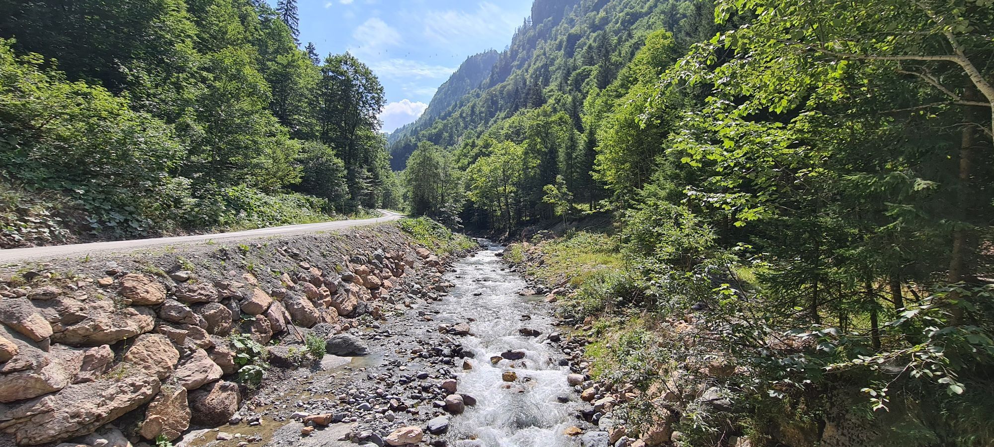
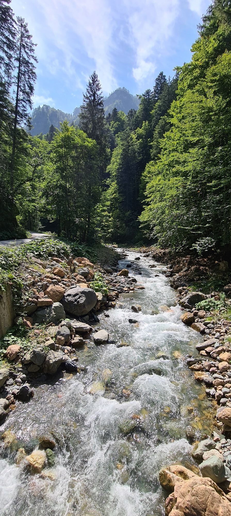
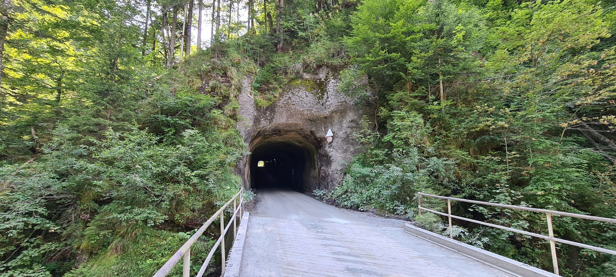
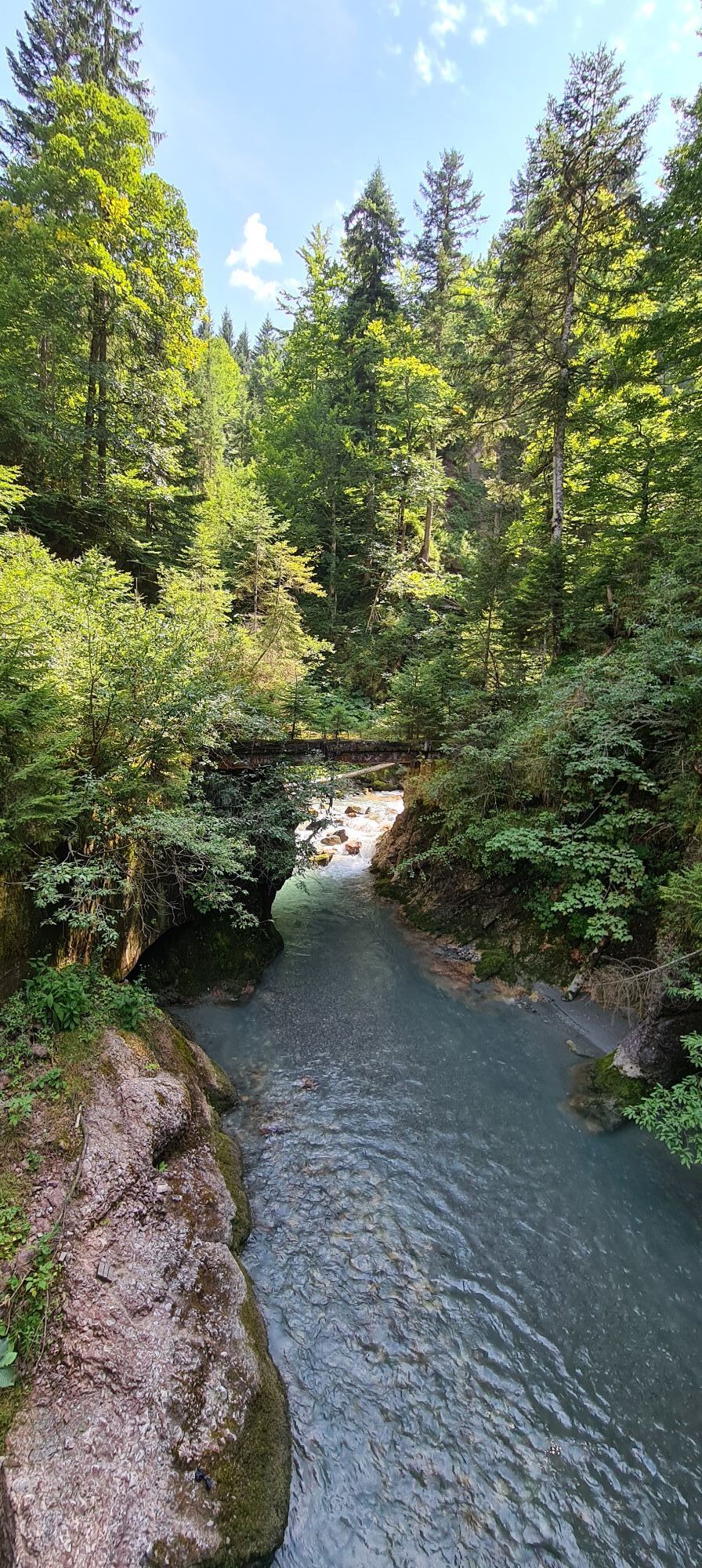
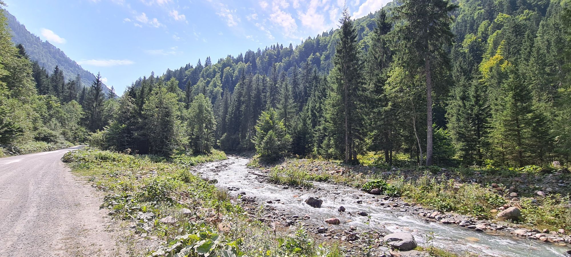
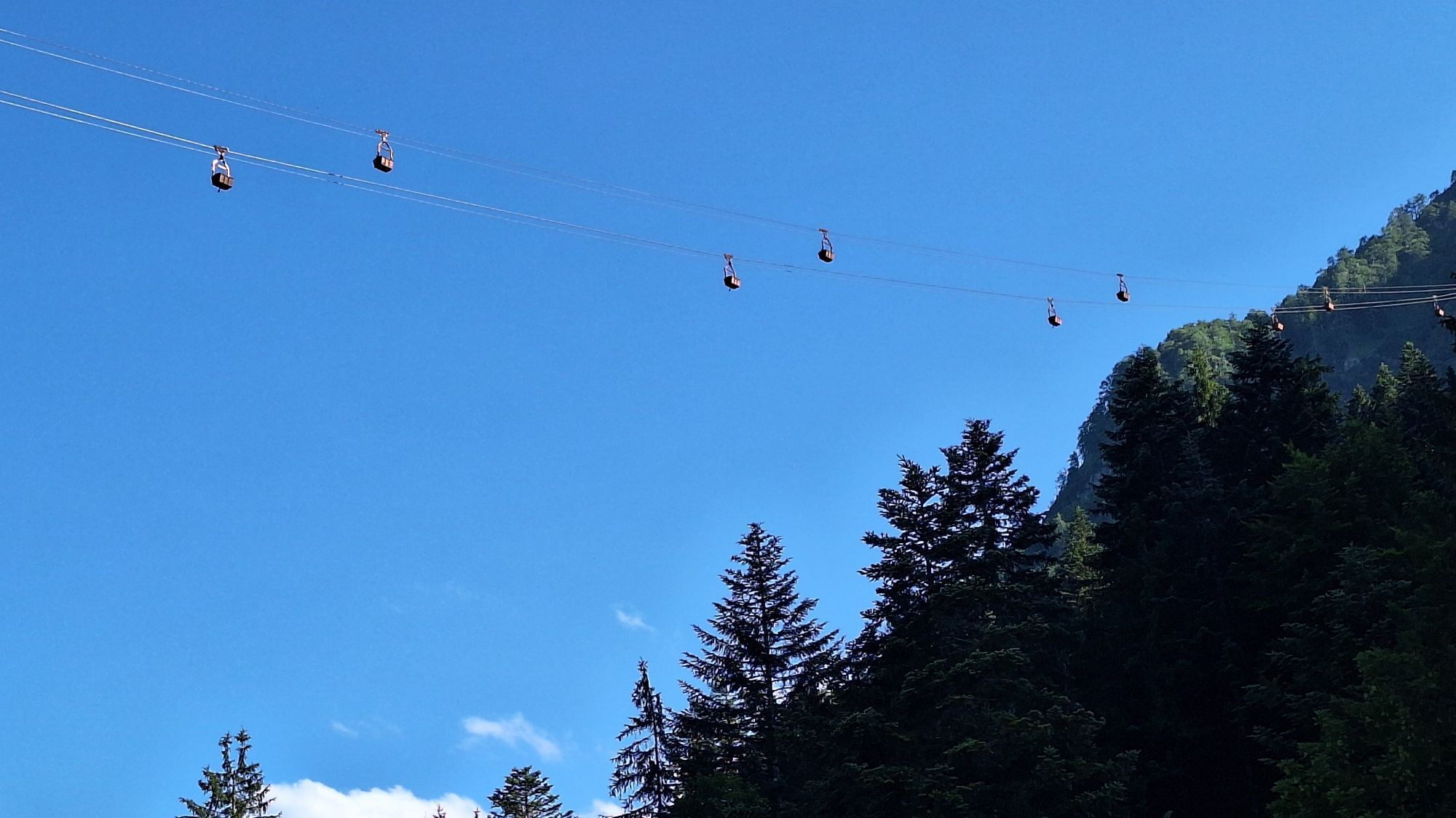
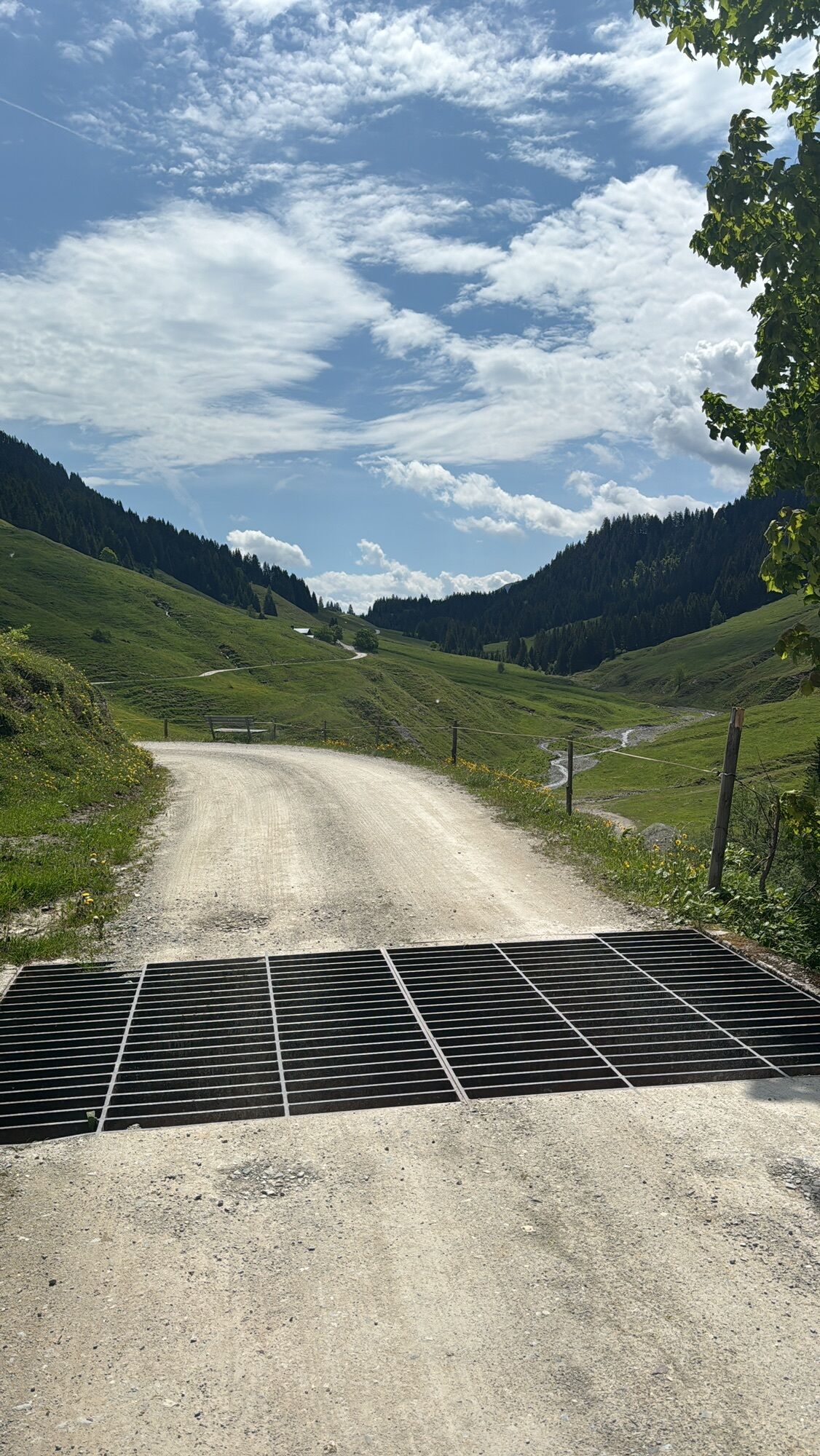
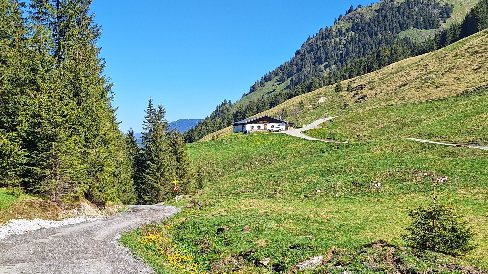

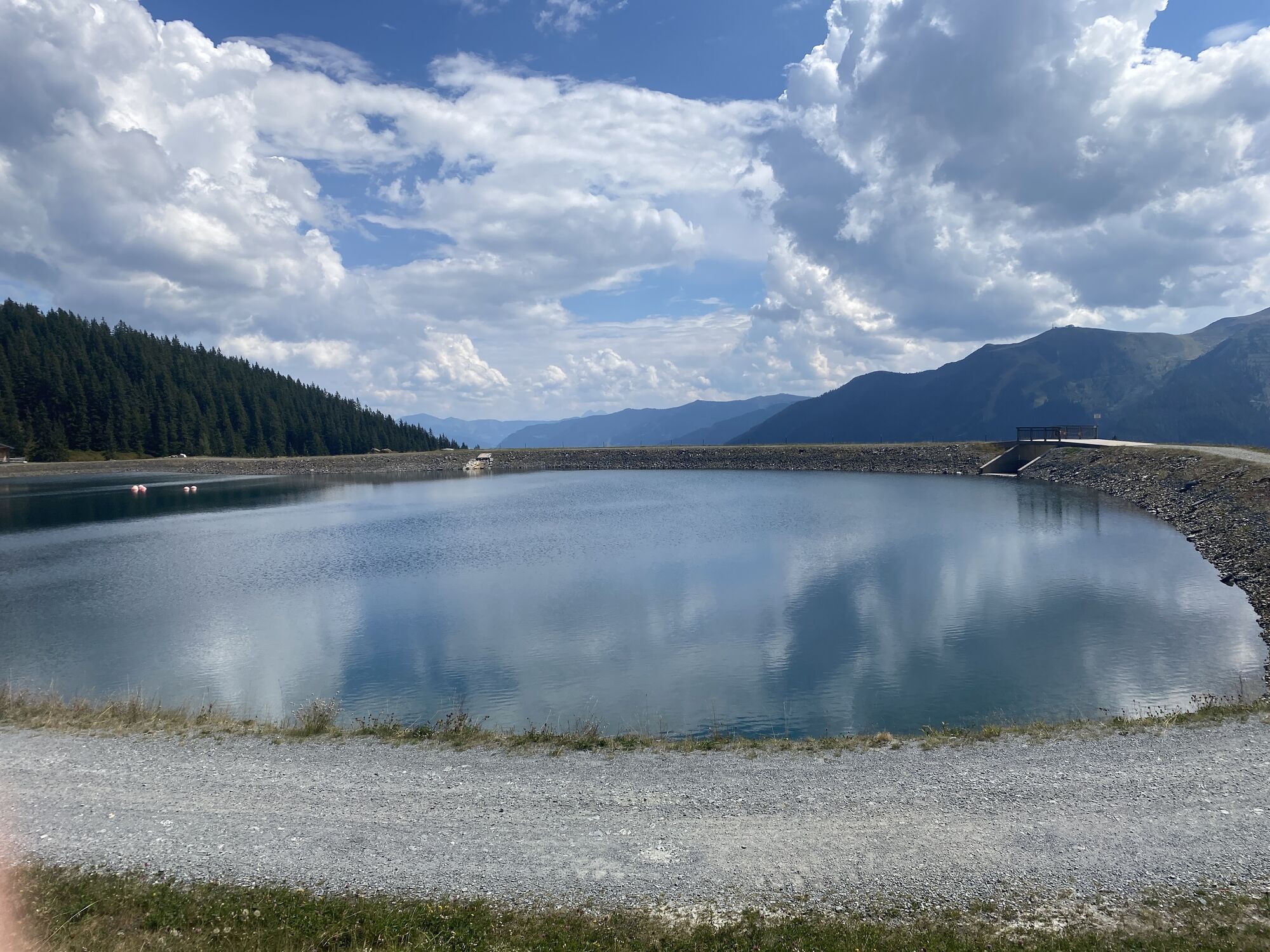
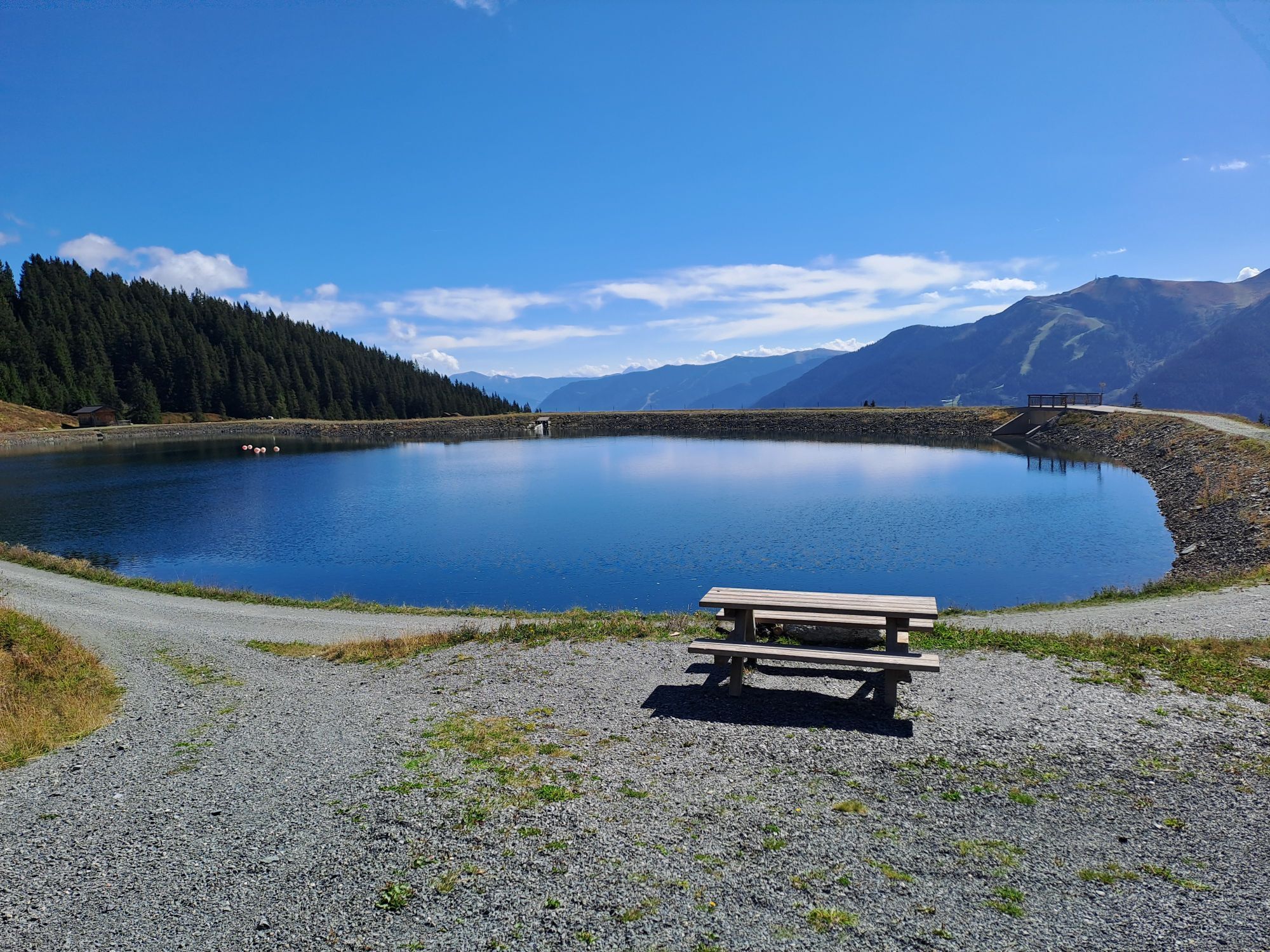
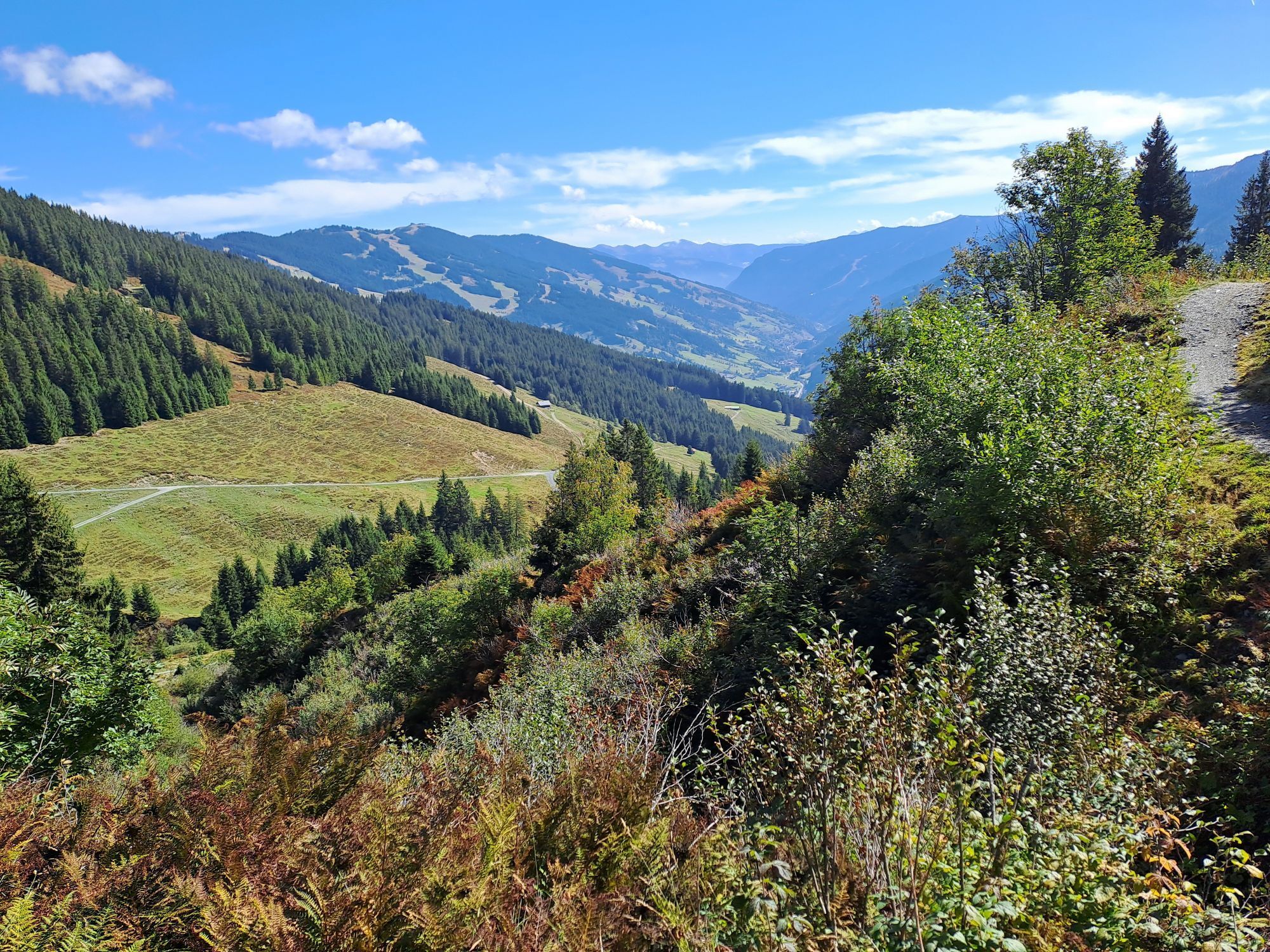
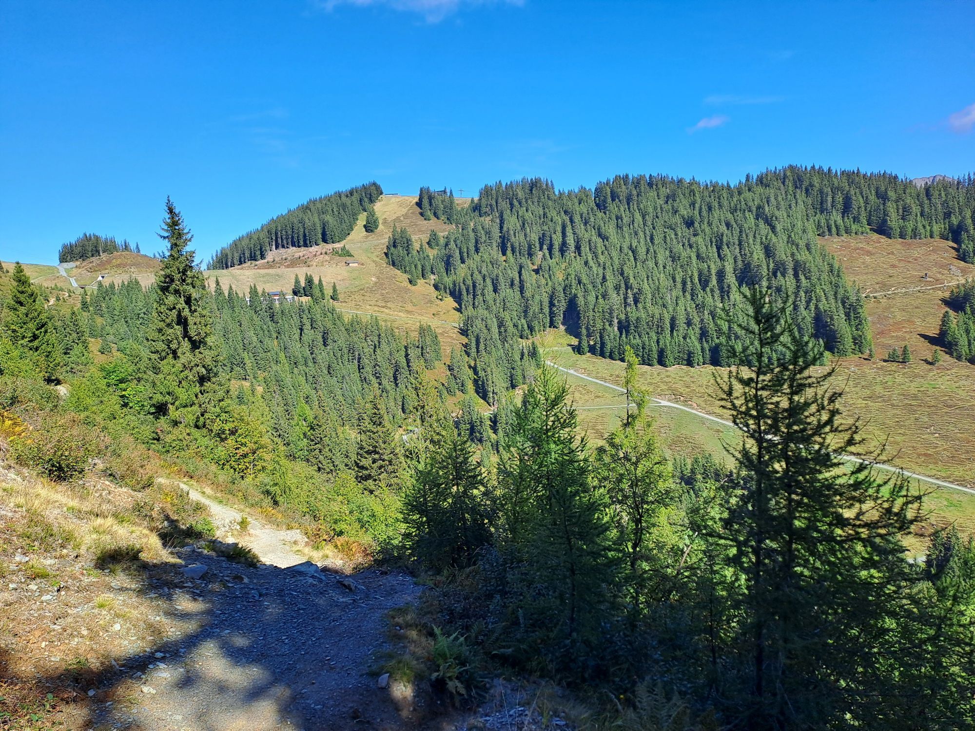
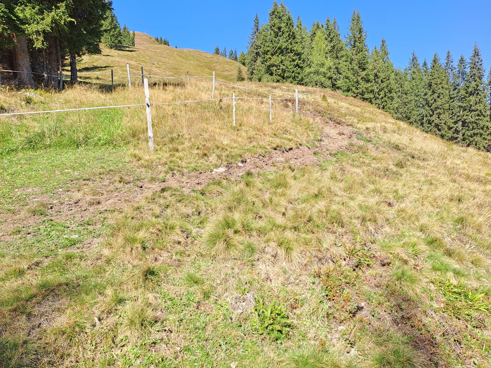
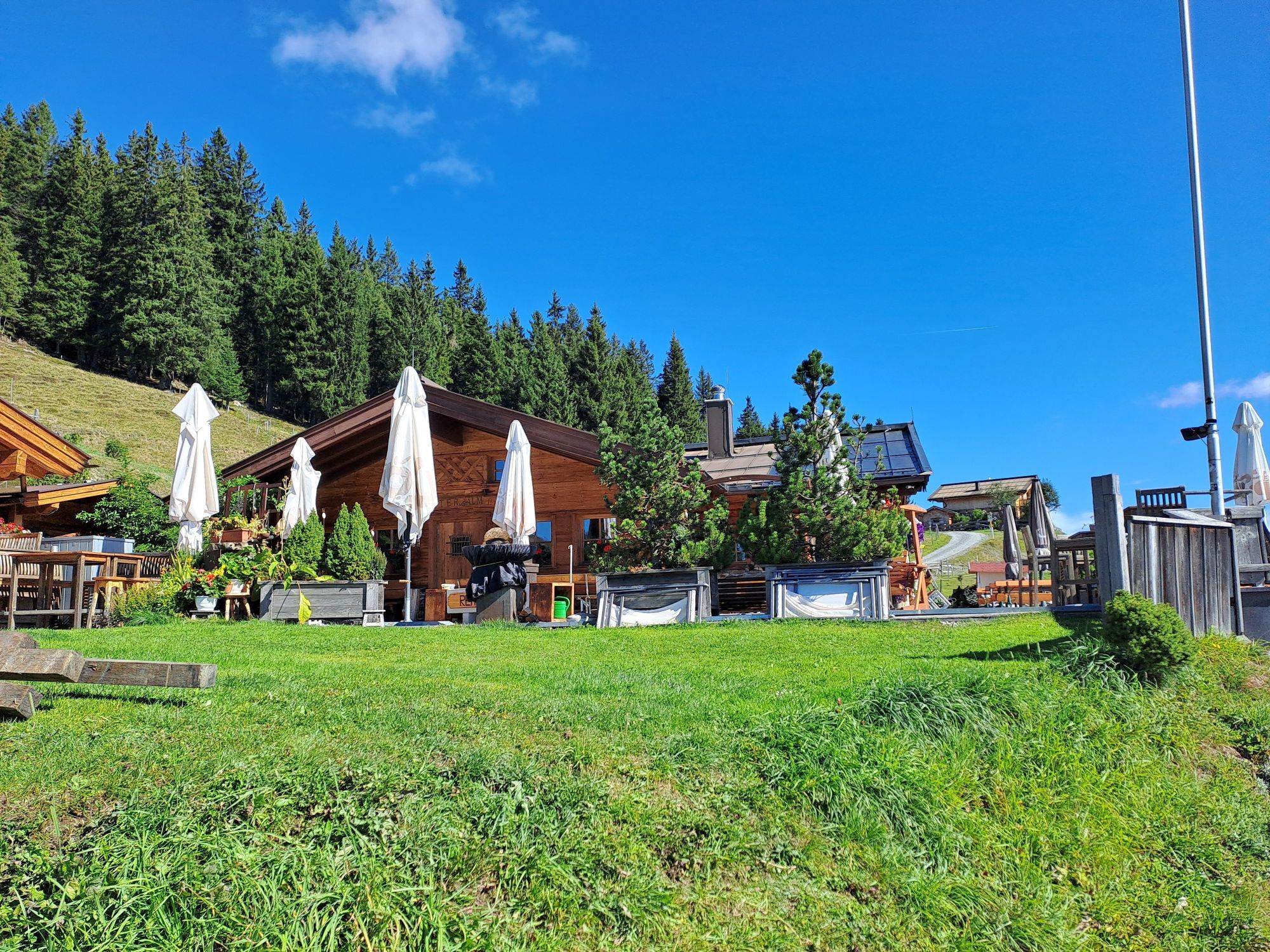
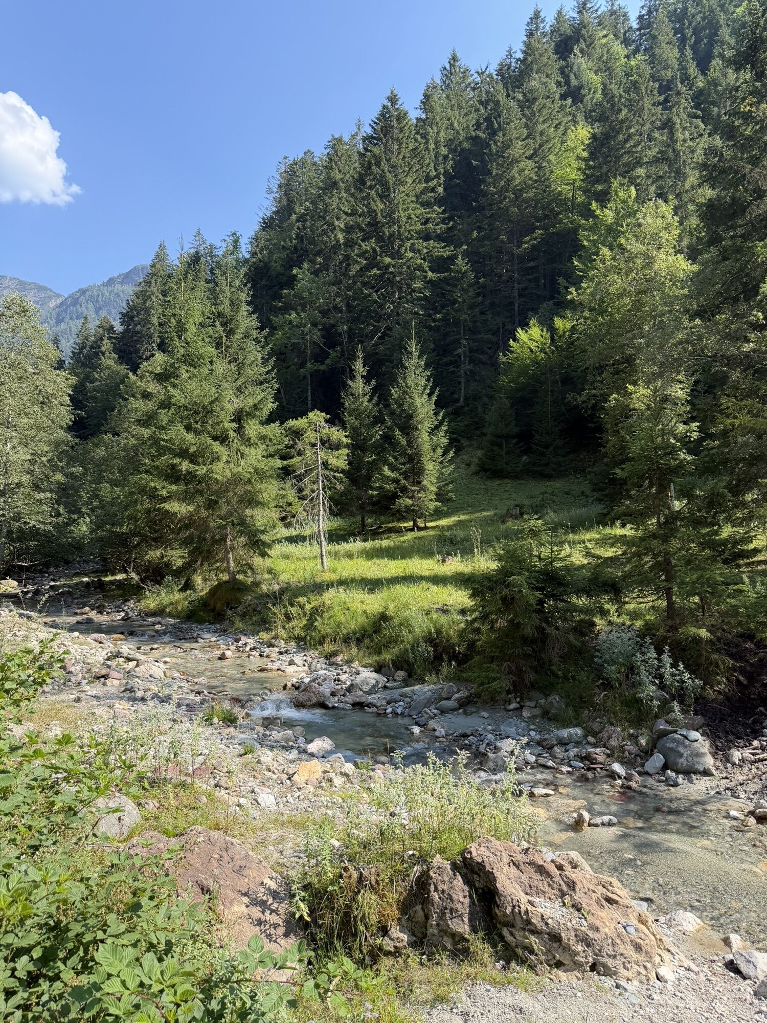
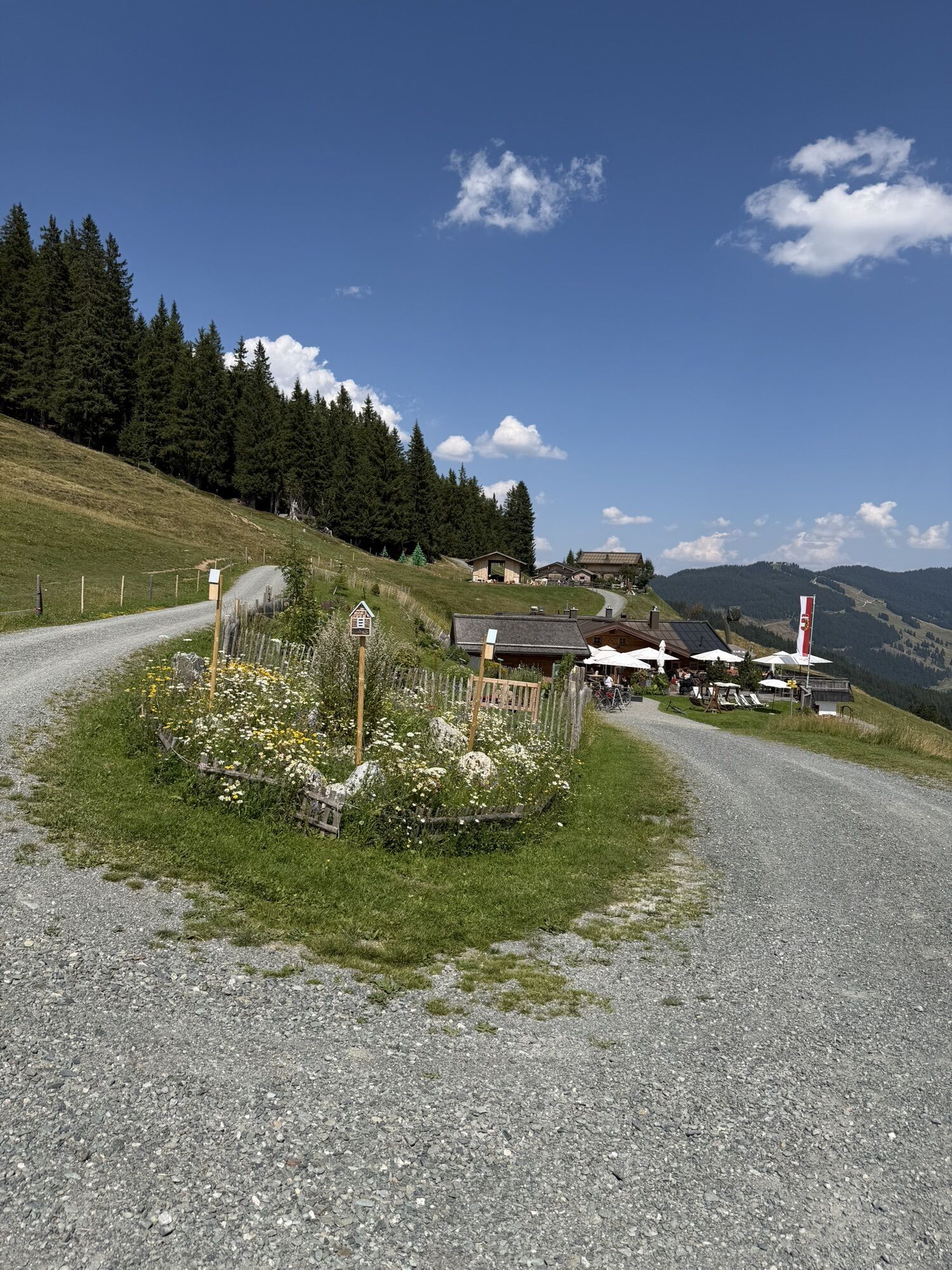
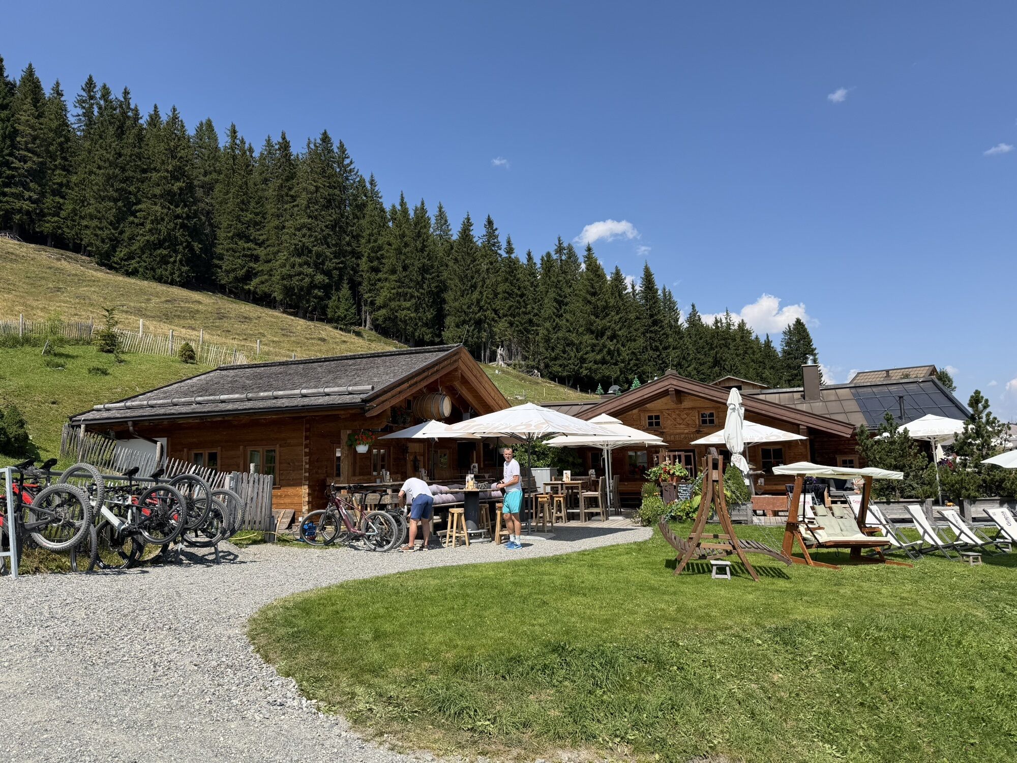
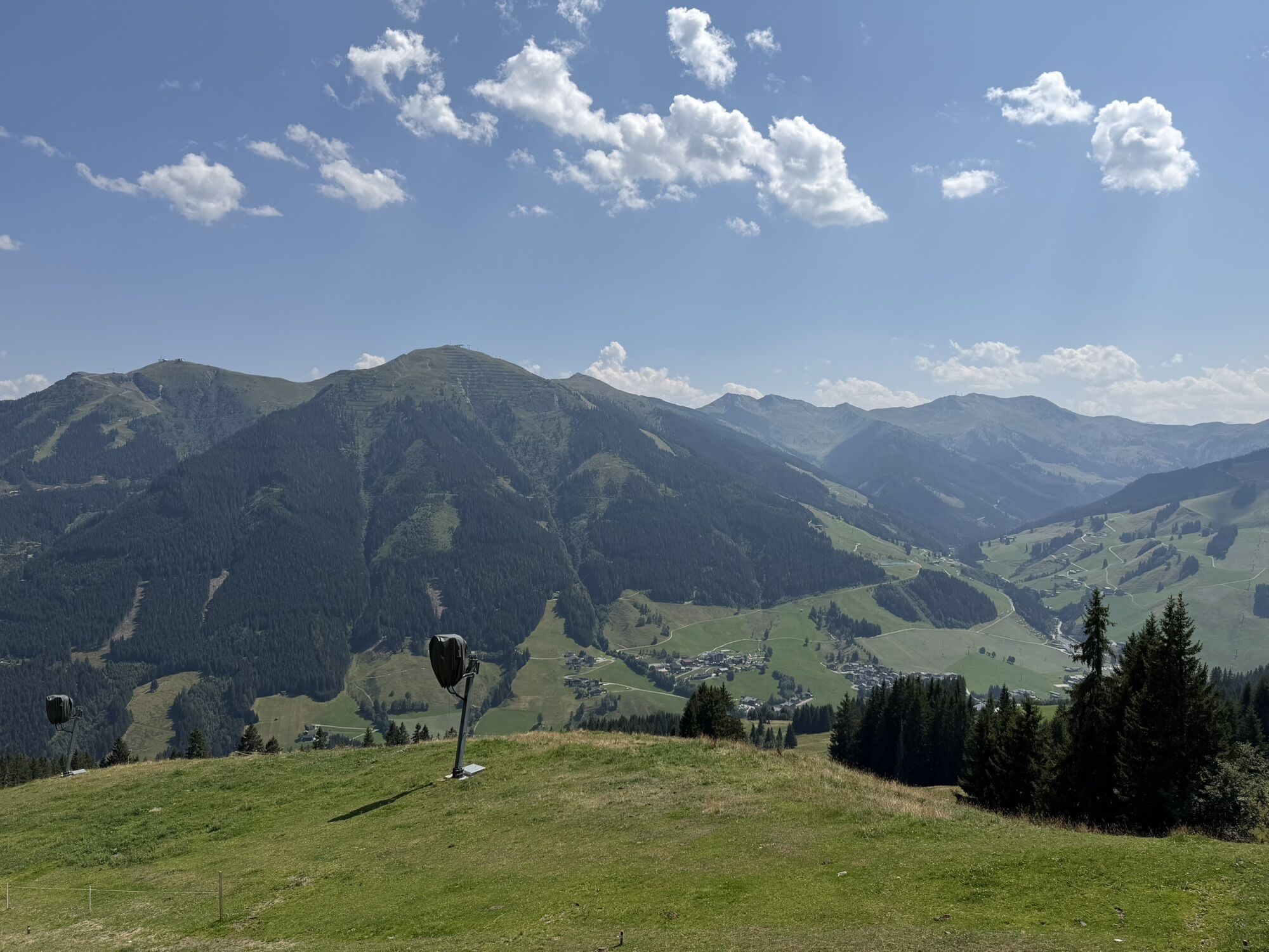
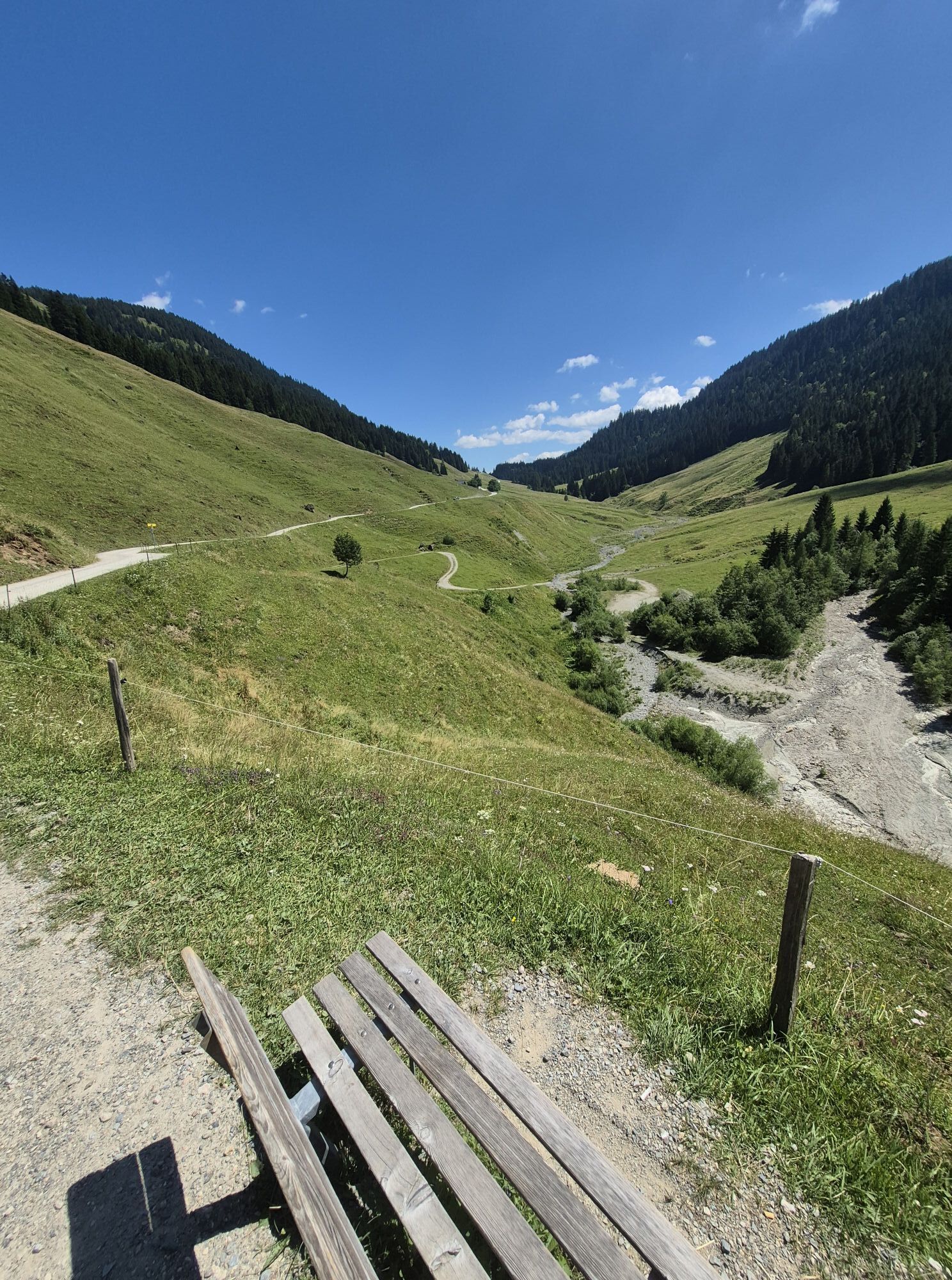


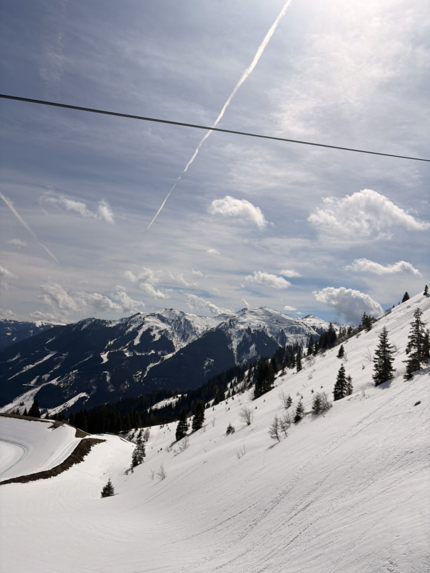
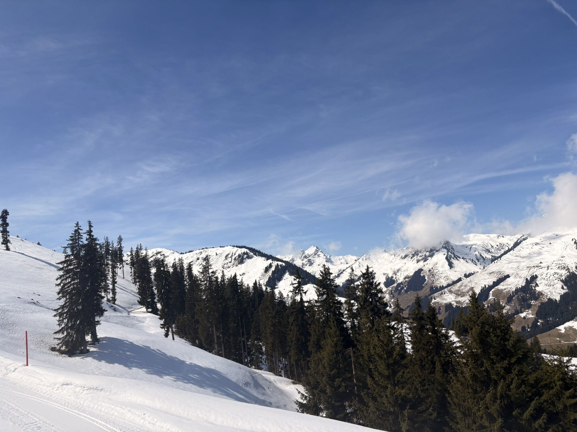
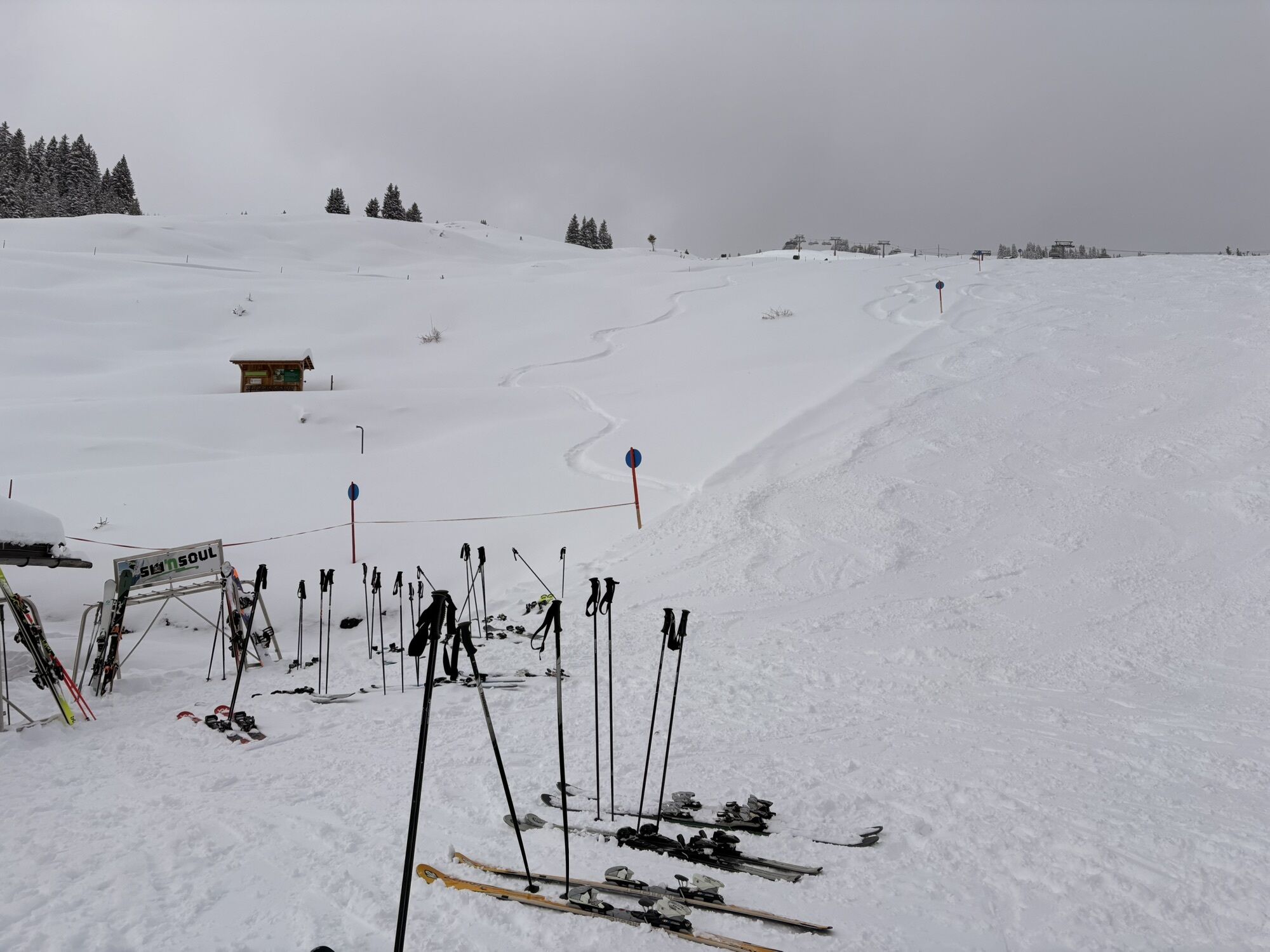
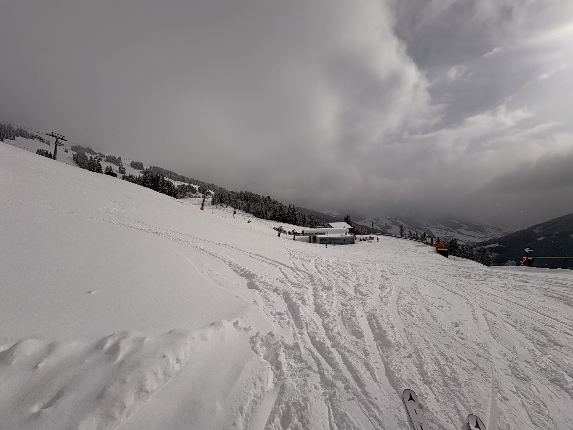
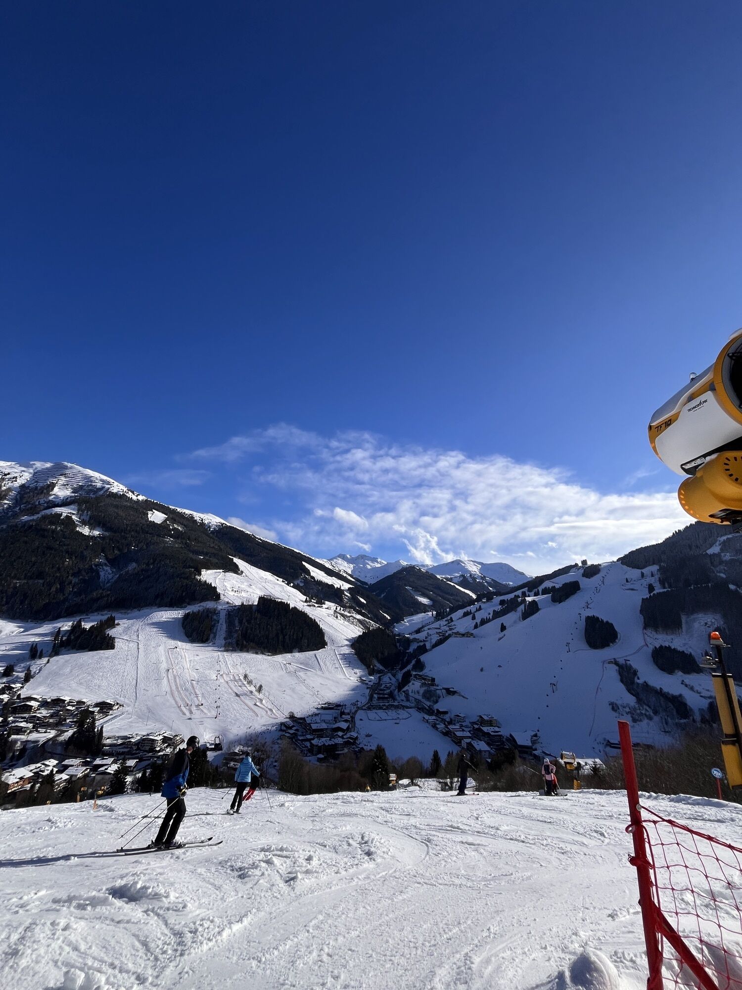
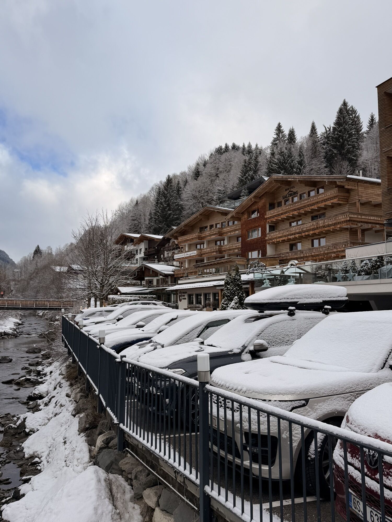
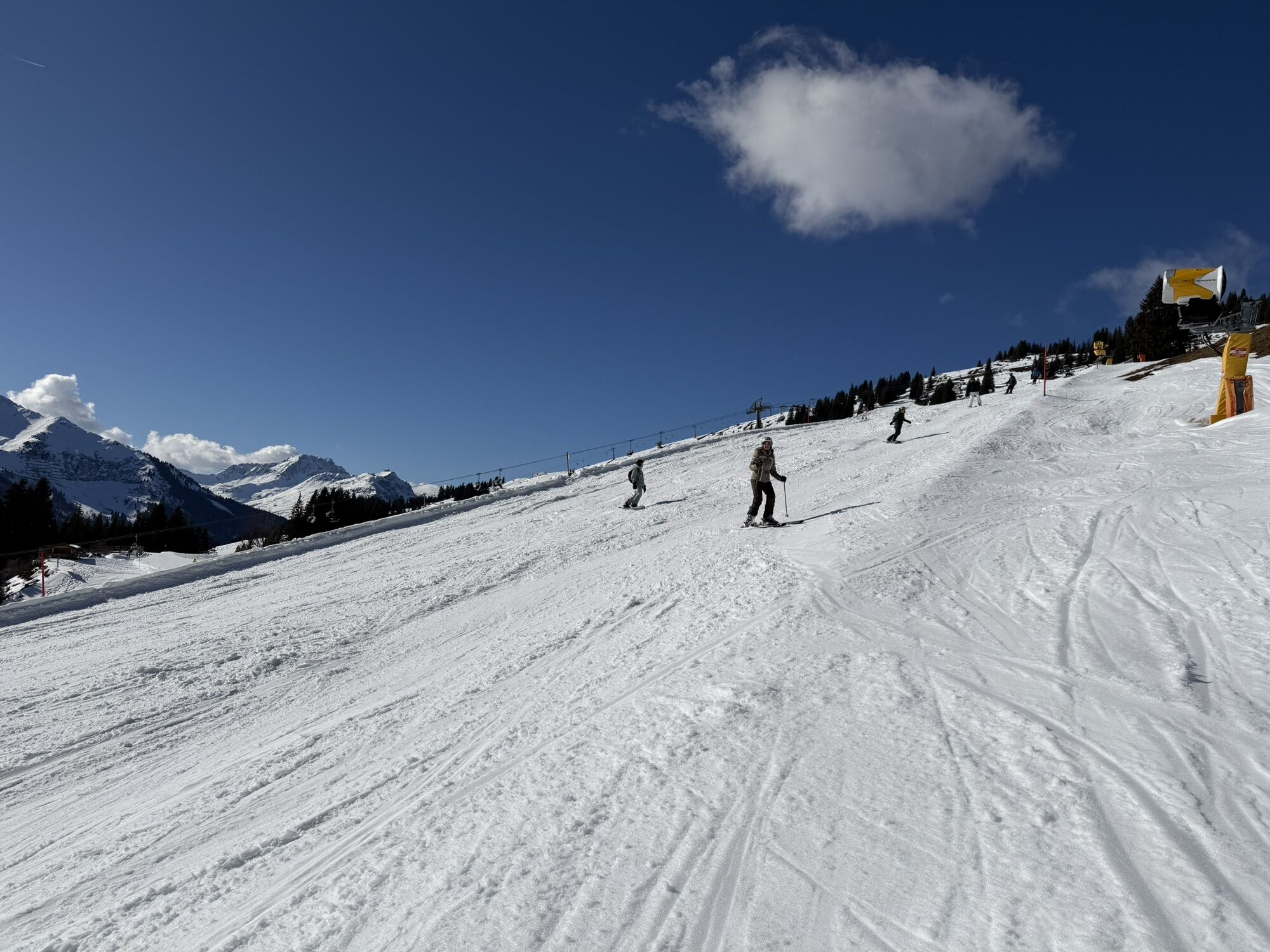
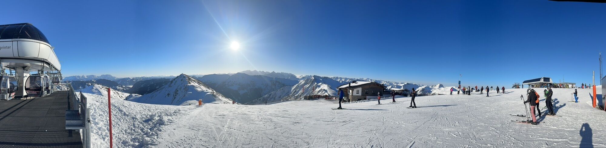
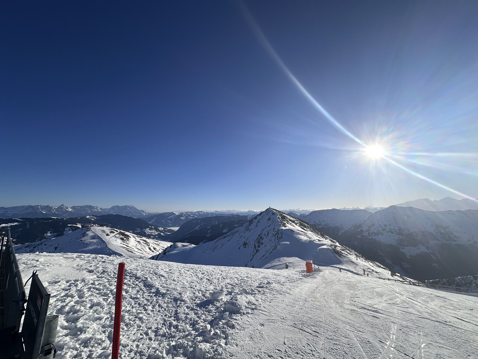
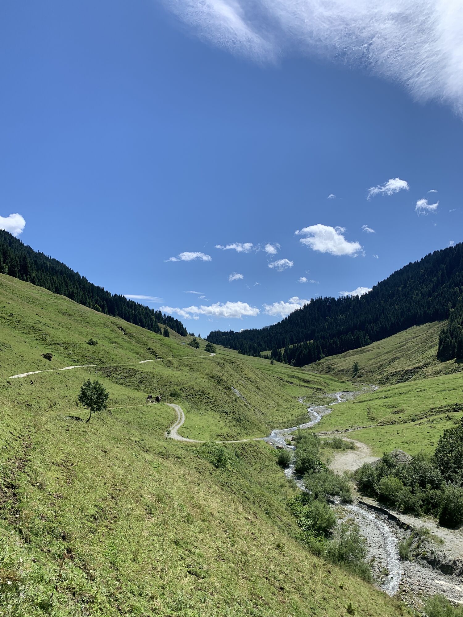

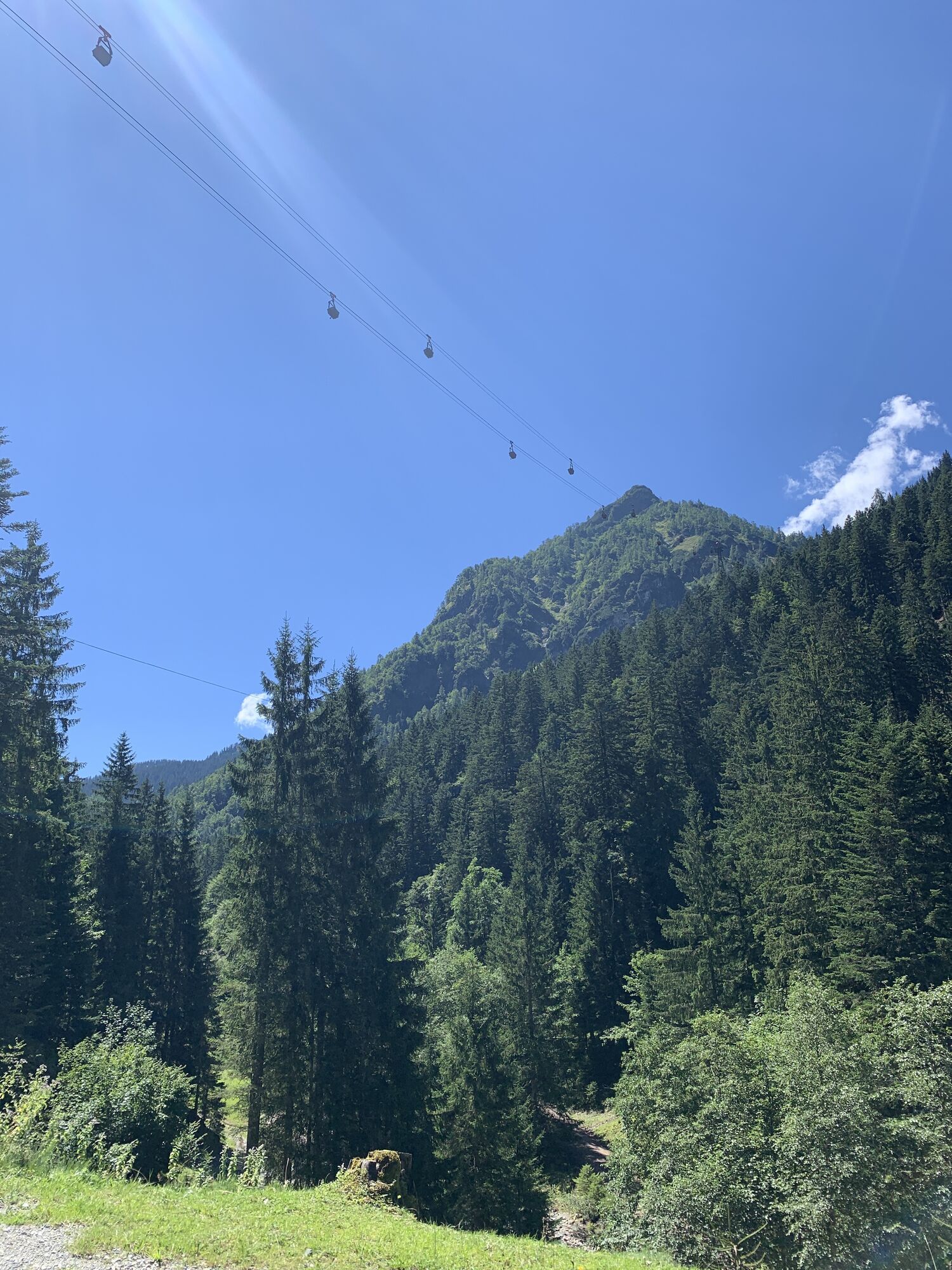
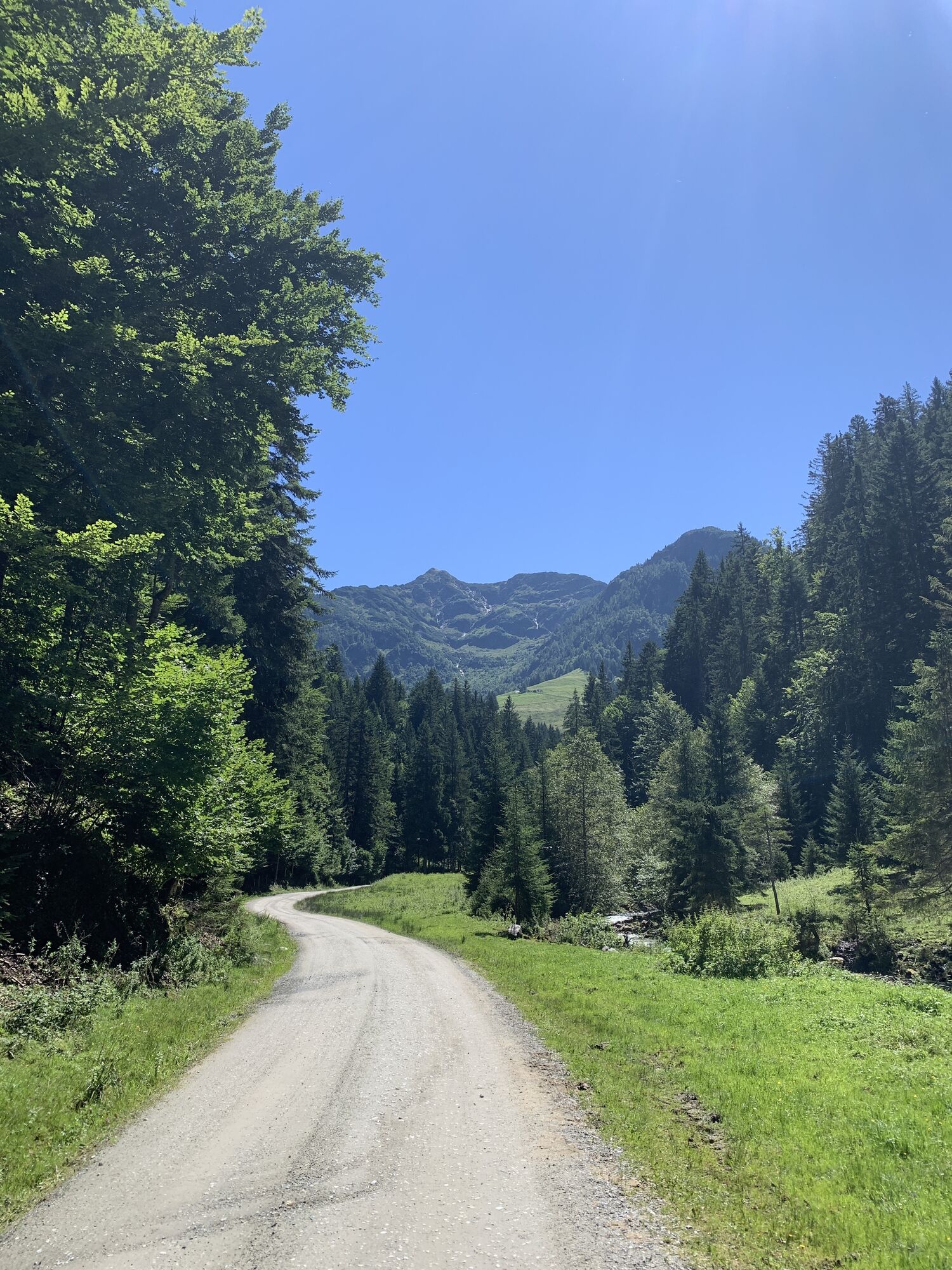
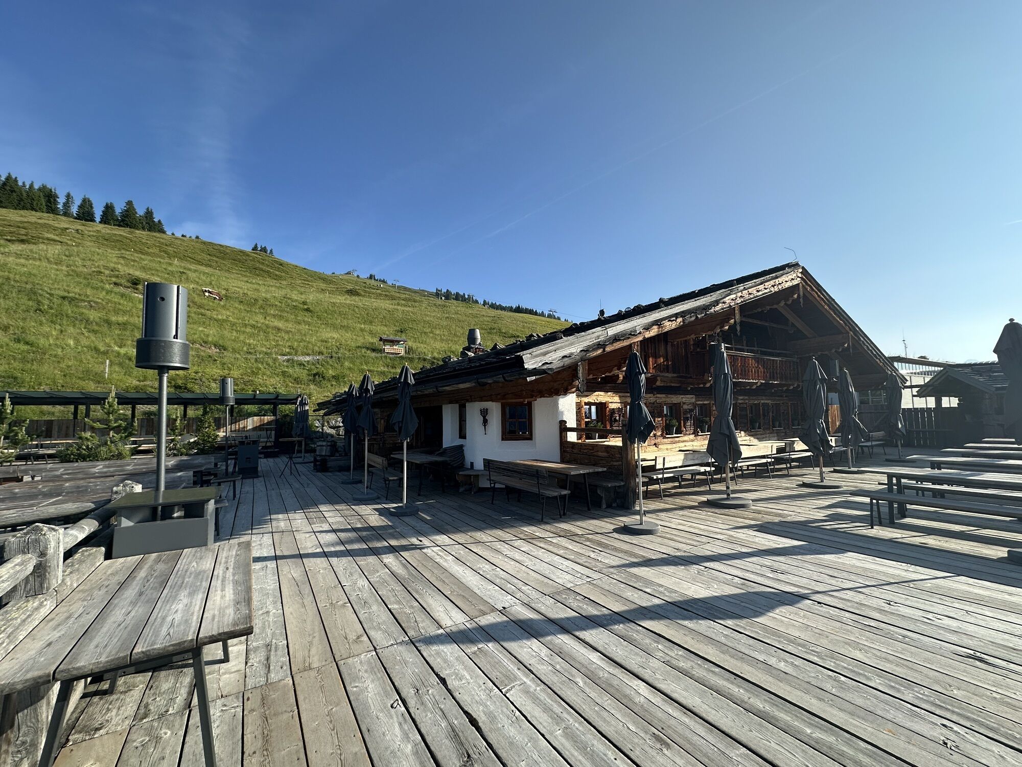

Starting from Saalbach, you follow the forest road along the Spielbergbach up to the Spielberghaus and then enter Tyrolean territory. A long (approx. 5 km), fairly leisurely descent follows, at the end...
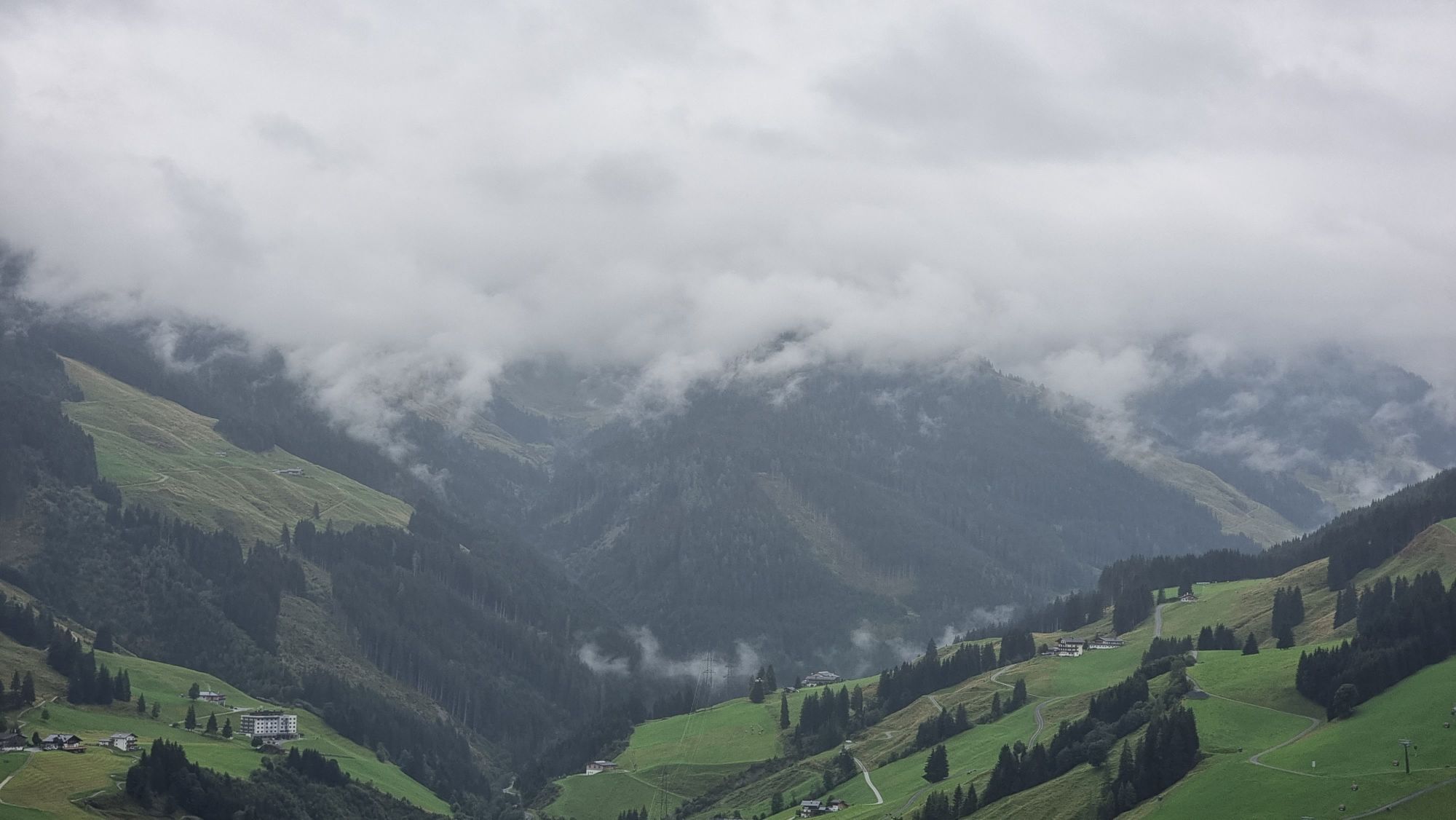
Starting from Saalbach, you follow the forest road along the Spielbergbach up to the Spielberghaus and then enter Tyrolean territory. A long (approx. 5 km), fairly leisurely descent follows, at the end of which you can take a break at the Gasthaus Eiserne Hand. On the way, you can see facilities of the nearby magnesite plant in Hochfilzen. The route then ascends again along the Schwarzache into the Hörndlinger Graben. Shortly before the Pulvermacher Scherm begins the steepest part of the route. You ascend over countless tight switchbacks (the namesake Hennerleiter) and reach the highest point of the route near the Wetterkreuz after about 600 meters of elevation gain. From here, depending on your mood, you can descend to Hinterglemm via single trails (Wetterkreuz Trail, Blue Line, or Pro Line) or forest roads and continue along the Glemmtal cycle path back to the starting point in Saalbach.



Parking is only free of charge when you purchase a lift ticket between 8.00 - 18.00 hours.
The parking ticket can only be validated at the bottom station of the Schattberg X-press lift.
Download the route as a single map HERE!

Kamery internetowe z trasy
Schattberg - West
Schattberg Westgipfel
Kohlmais Tal
Hochfilzen - Ferienwohnungen Schreder
Reckmoos
Fieberbrunn - Buchensteinwand in Tirol
Hinterglemm - Saalbach
Saalbach-Hinterglemm - Schattberg Ost
Saalbach-Hinterglemm - Zwölferkogel
Saalbach-Hinterglemm - Wildenkarkogel
Fieberbrunn - Lärchfilzkogel
Lärchfilzkogel
Saalbach - Hotel Alpinresort
Zwölferkogel
Wildenkarkogel
Mittelstation Streuböden
Saalbach-Hinterglemm - Kohlmais
Kohlmaiskopf
Fieberbrunn - Bikepark, Streuböden Talstation (836m)
Fieberbrunn - Streuböden Bergstation
Pillersee - Jakobskreuz
Martenhof
Lärchfilzkogel
Wohlfühlhotel-Johanneshof
Fairhotel Hochfilzen
Eberharthof - Saalbach-Hinterglemm
Hochalm Mittelstation
Hochalm Mittelstation


Popularne wycieczki w okolicy
- 4,4
Kitzbüheler Horn über Horn-Gipfel-Höhenweg
średniTrasa tematyczna 5,30 km - 4,3
Maurerkogel (Top)
Wędrówka 10,5 km - 4,8
Loferer Steinberge, zum Hinterhorn über die Schmid-Zabierow Hütte, 19.06.22
ciężkiWędrówka 14,0 km - 4,6
Lettlkaser
średniWędrówka 8,80 km - 4,7
Panorama route 3 peaks and 2 lakes
średniWędrówka 7,21 km - 5,0
Leo’s play hiking trail
światłoTrasa tematyczna 4,89 km - 4,2
Passauer Hütte
ciężkiWędrówka 8,27 km - 4,6
St. Johann in Tirol: Wasserfall & 3 Seen am Kitzbüheler Horn
średniWędrówka 12,7 km - 4,1
Berg der Sinne
światłoWędrówka 4,39 km - 4,6
Birnbachloch Leogang, Österreich
średniWędrówka 5,18 km
Wędrówki i tropienie


Nie przegap ofert i inspiracji na następne wakacje
Twój adres e-mail została dodana do listy mailingowej.


