







Winklmoos Alm round
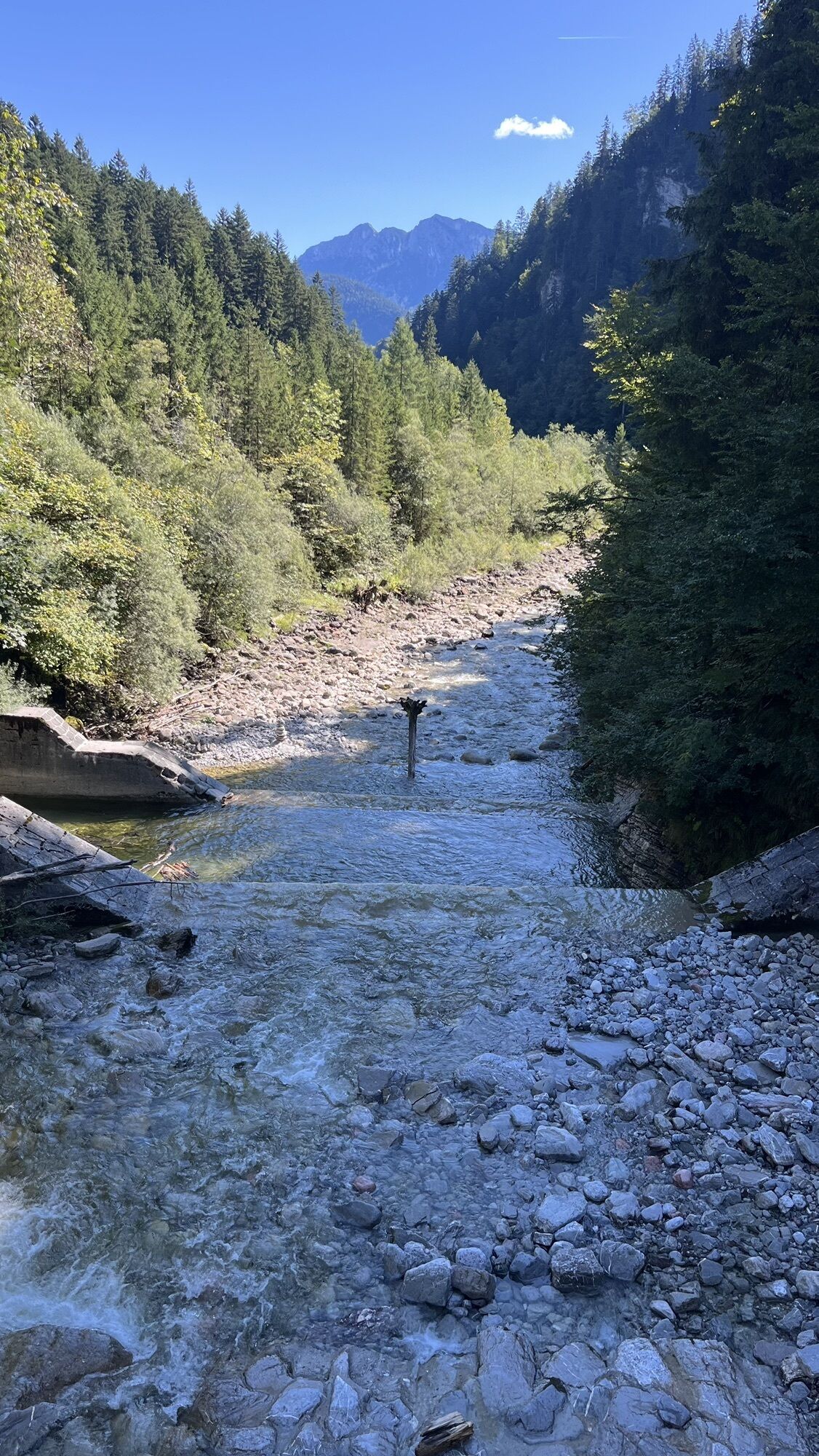
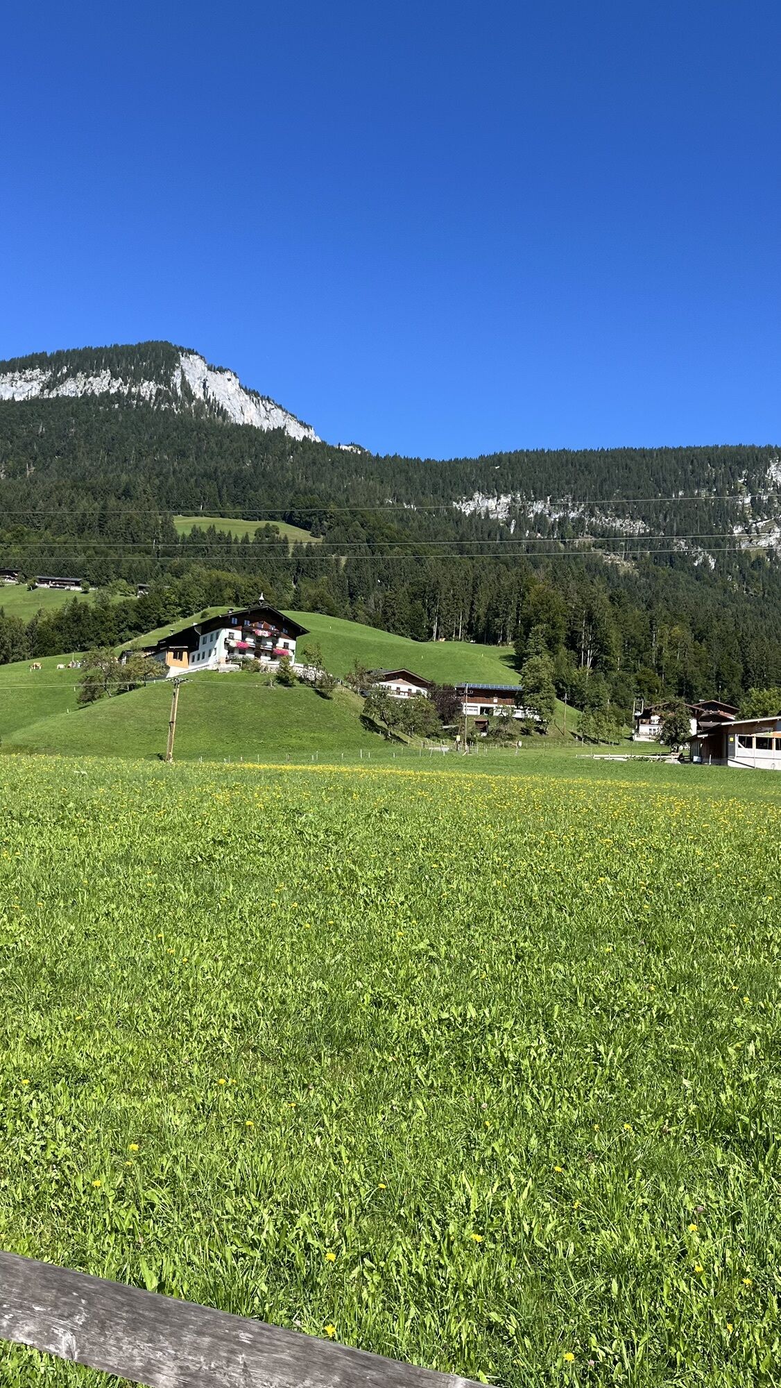
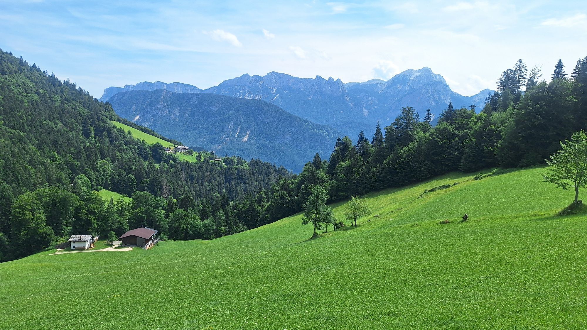
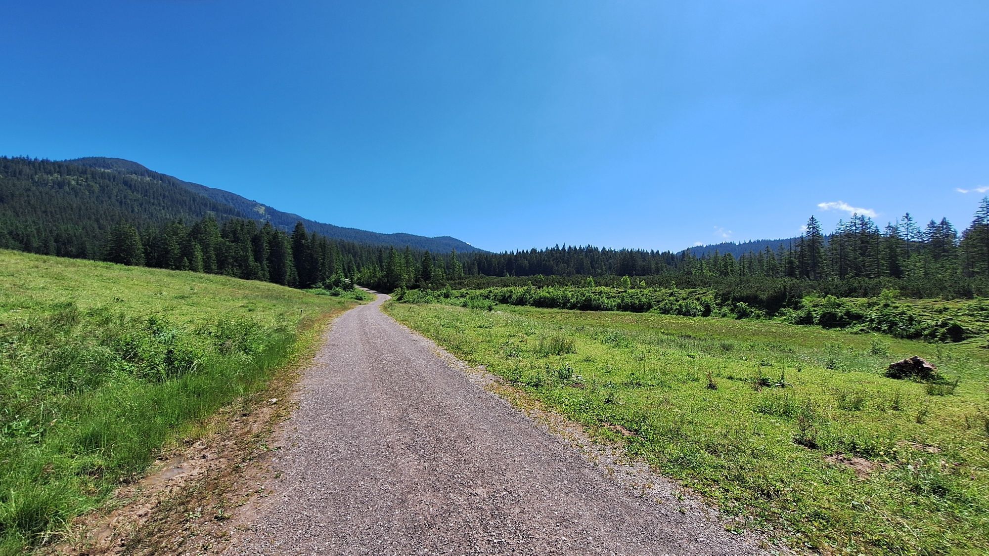
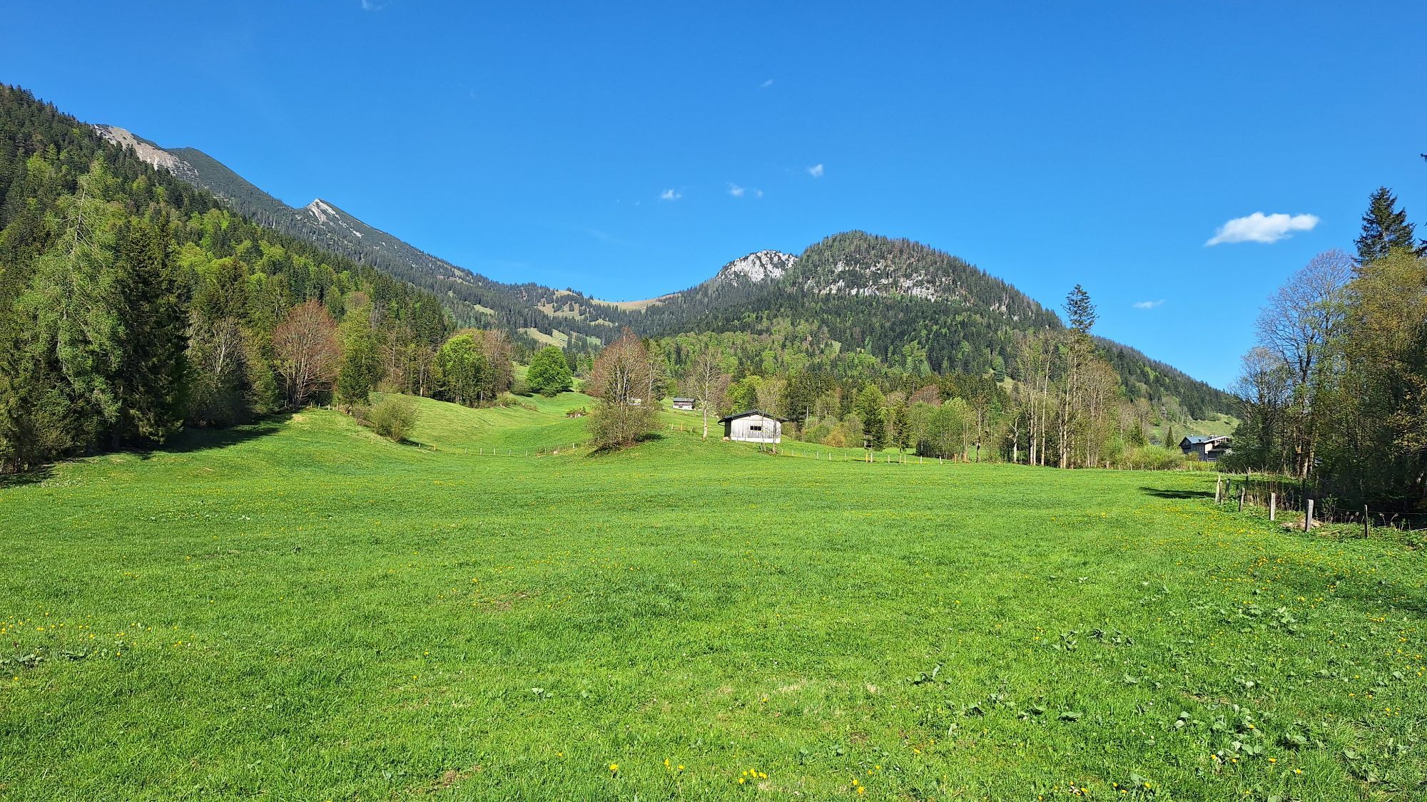
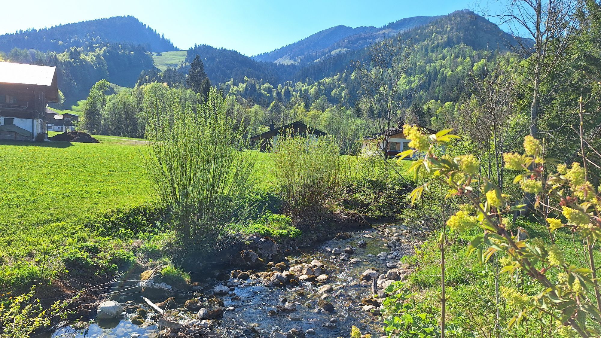
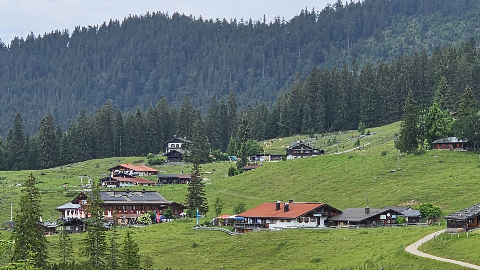
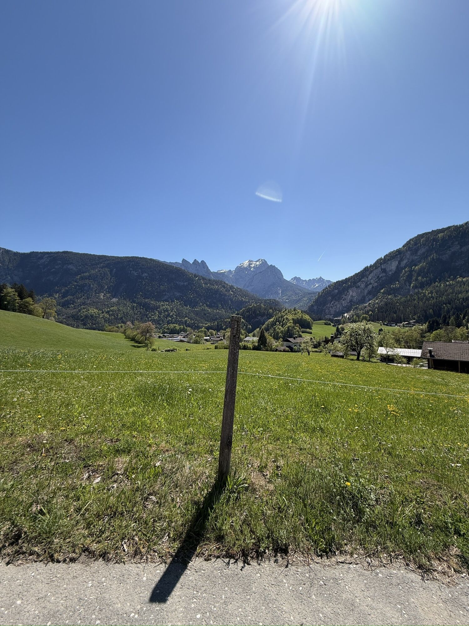
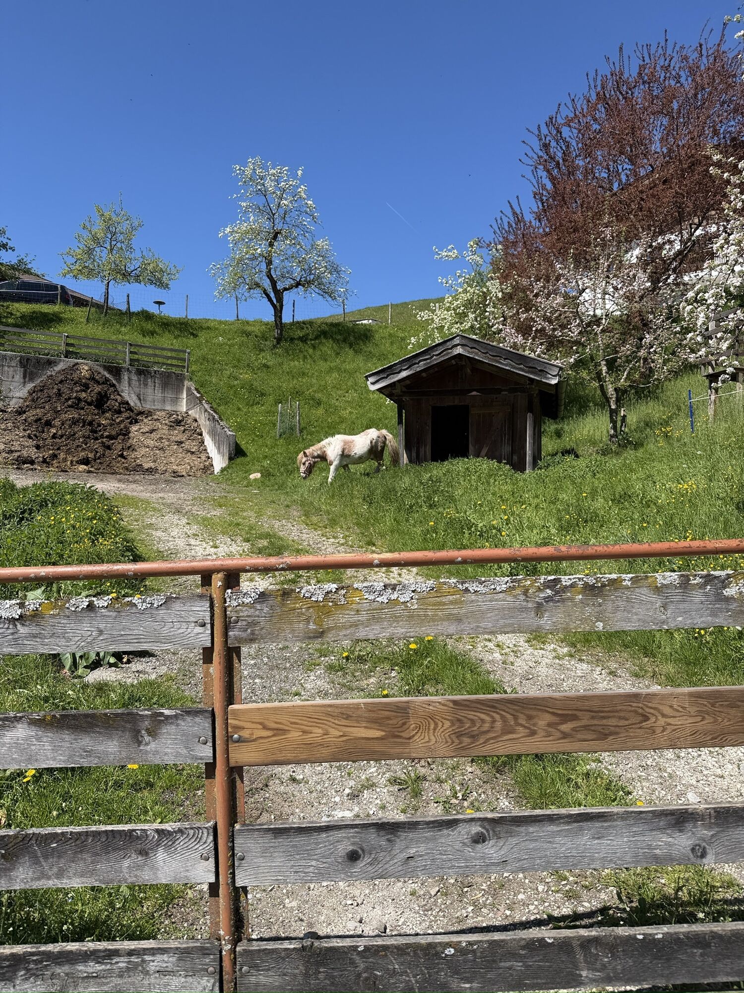
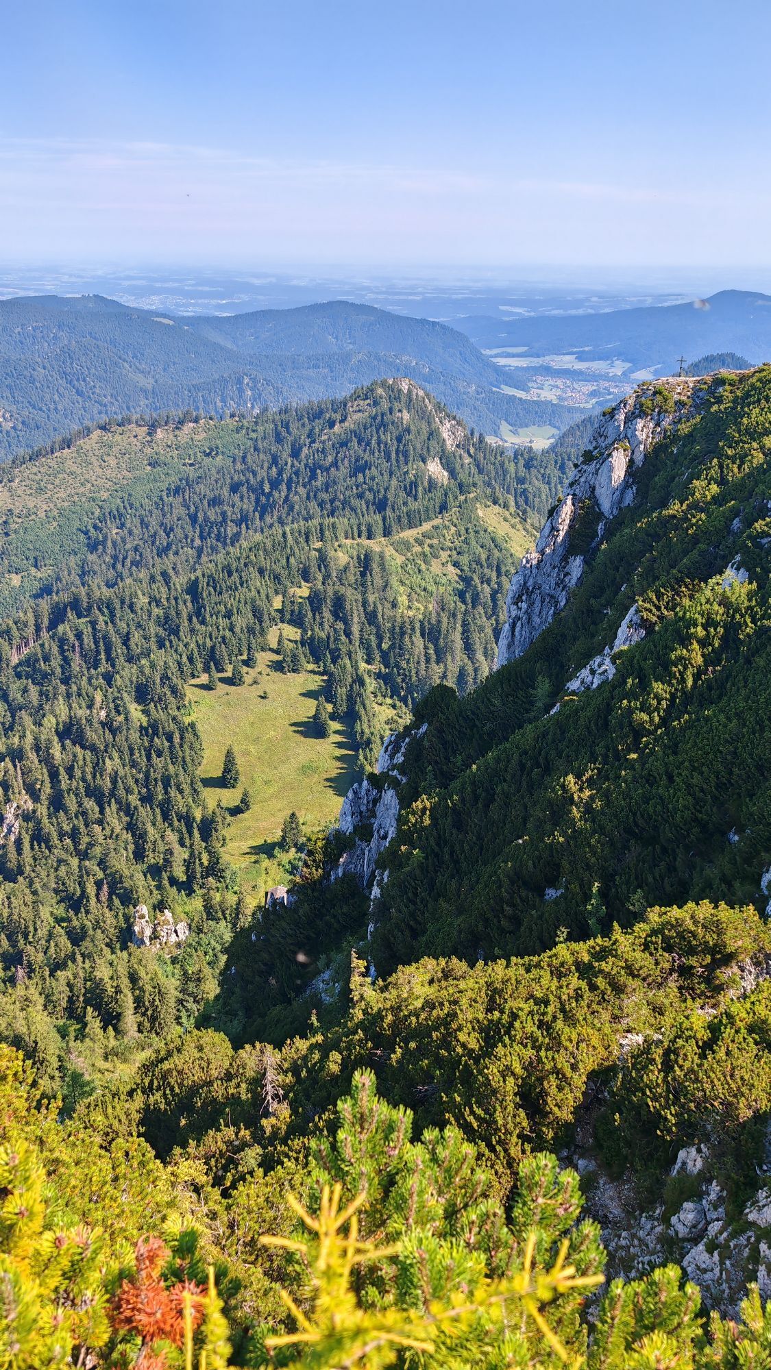
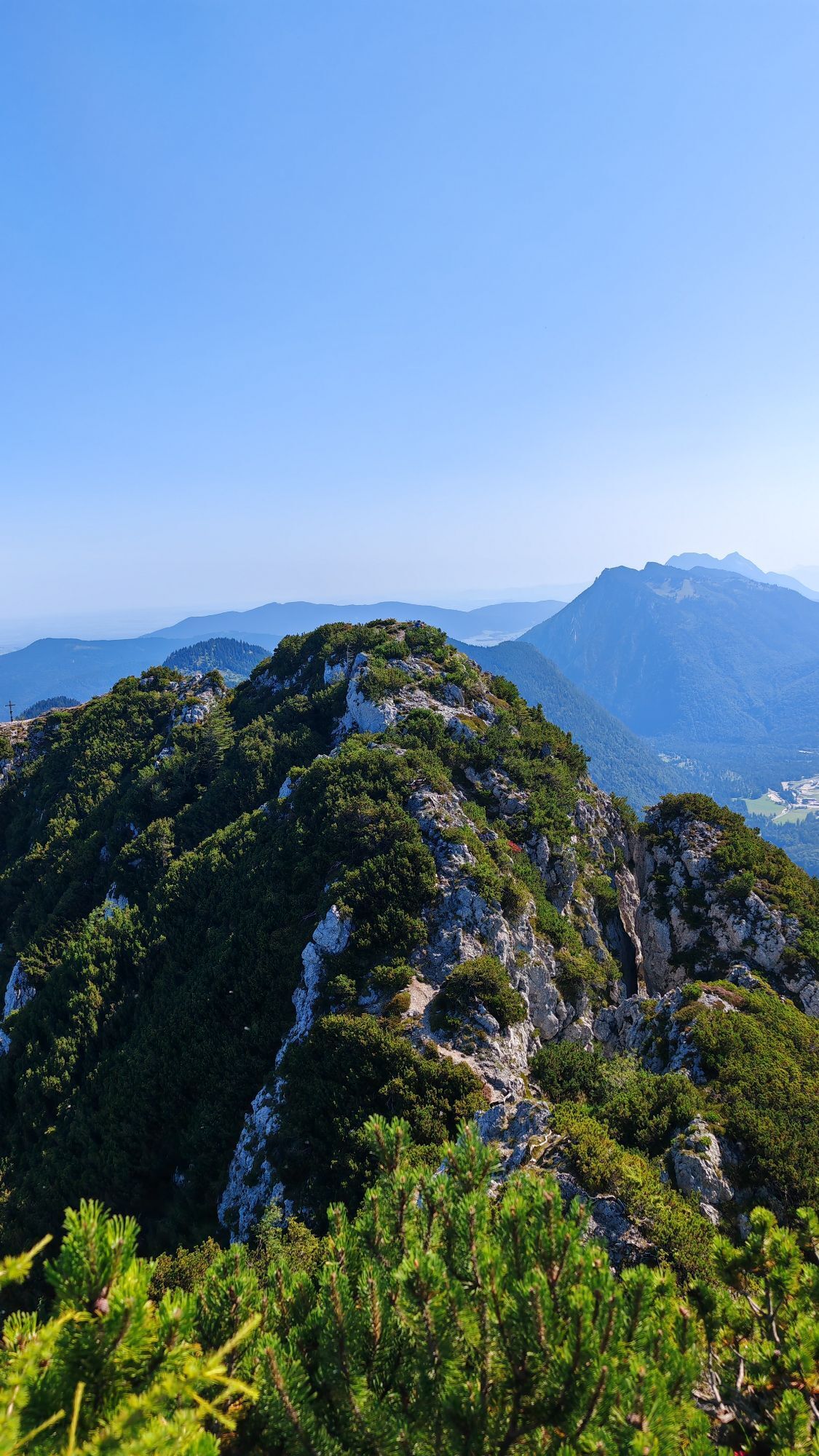
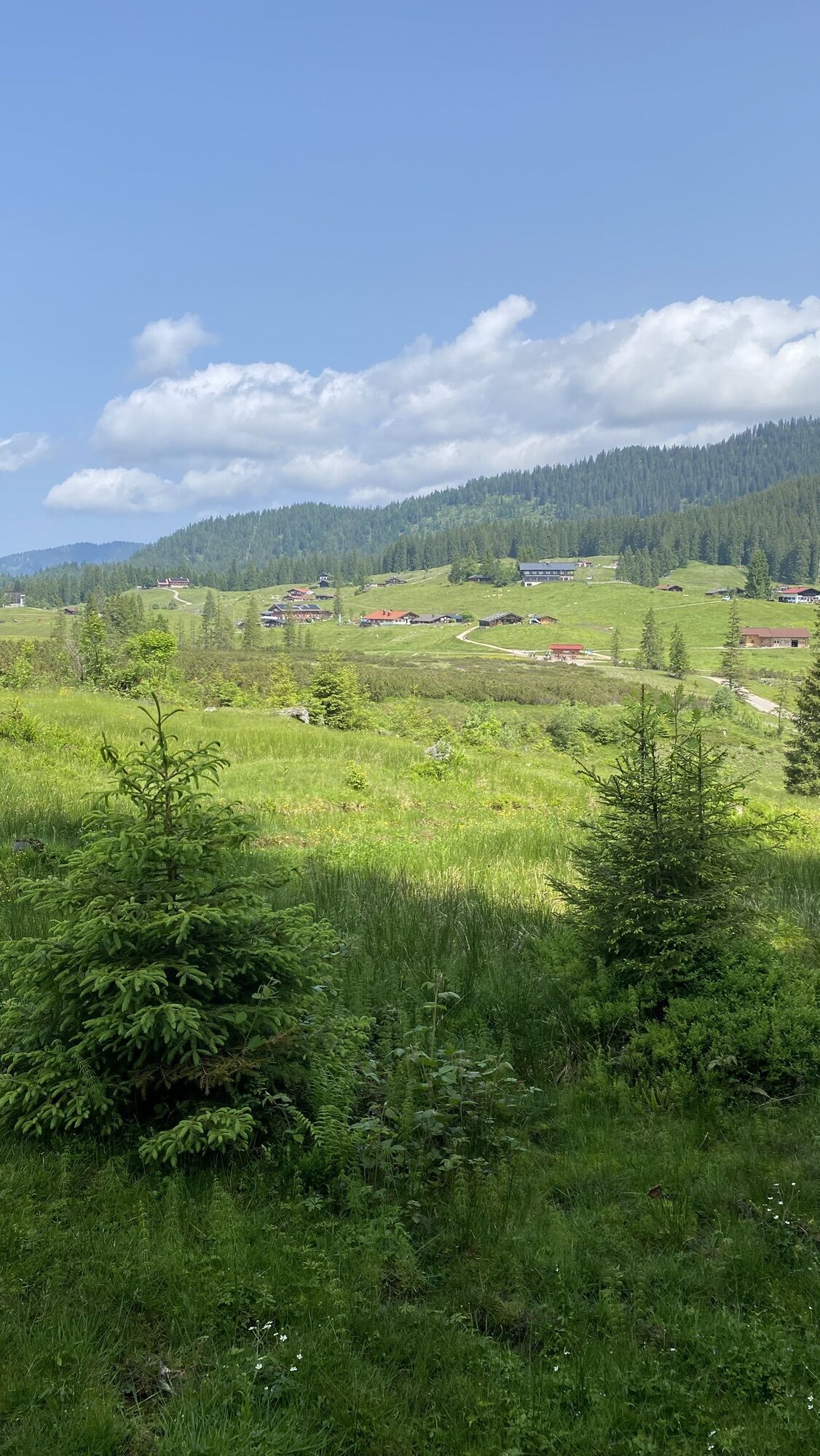
The approximately 30-kilometer-long, technically not too demanding route takes you over Sonnberg and the Heutal road to the end of the beautiful valley basin. Then you follow a forest road to the Winklmoosalm...
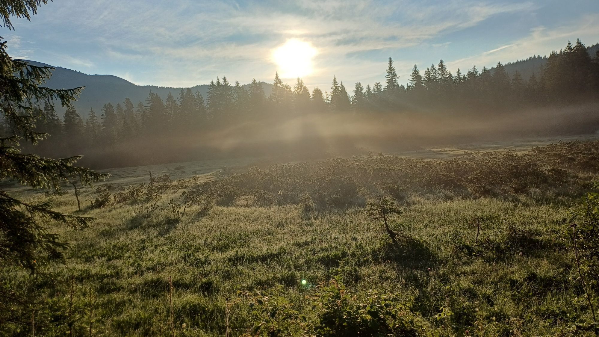
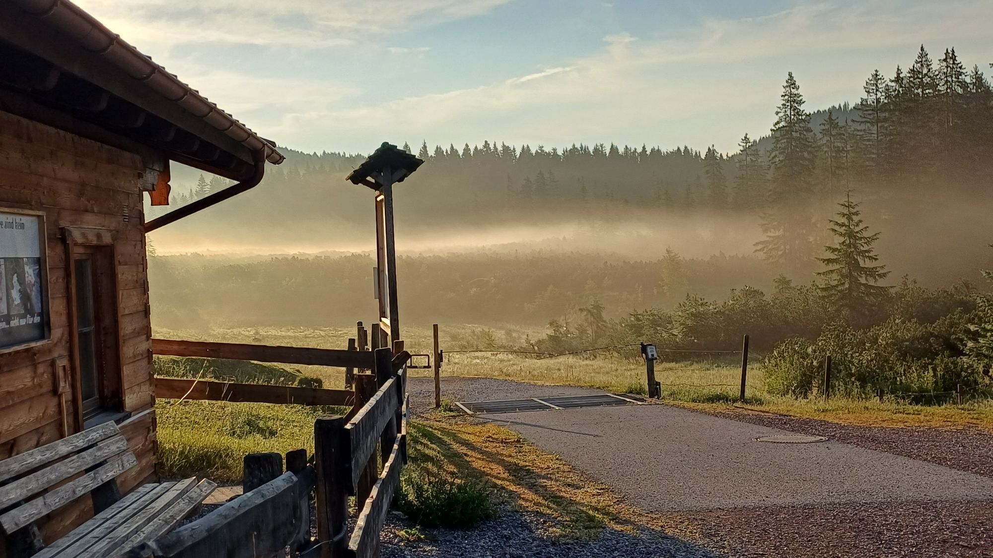
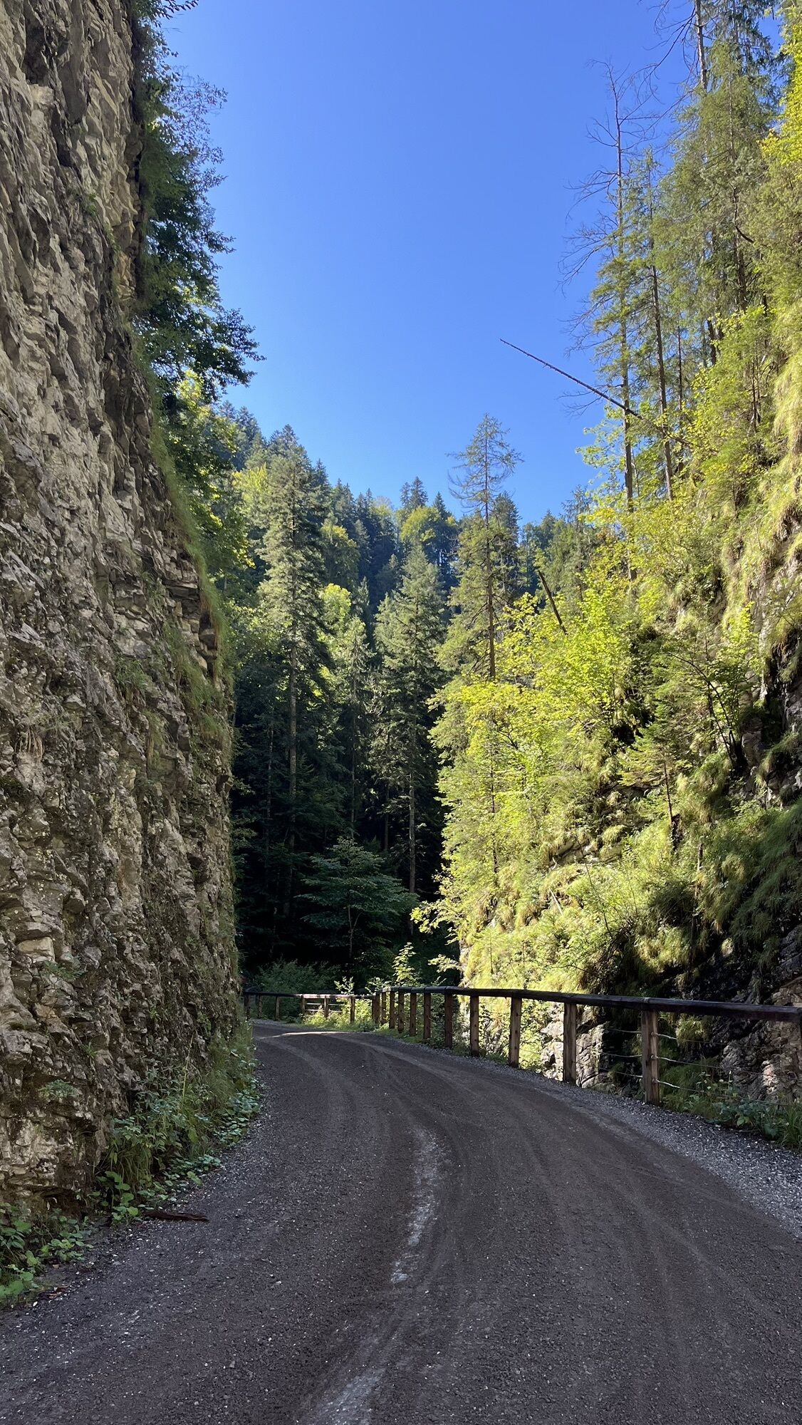
The approximately 30-kilometer-long, technically not too demanding route takes you over Sonnberg and the Heutal road to the end of the beautiful valley basin. Then you follow a forest road to the Winklmoosalm in neighbouring Bavaria. Several huts and snack stations offer a good place for a break here. From here, the route continues easily through the gorges in the Unkenbachtal and past the bike specialist Gasthof Friedlwirt back to Unken, the start point of the route.
Corresponds to Route SASA 20 on the Salzburg Saalachtal bike map

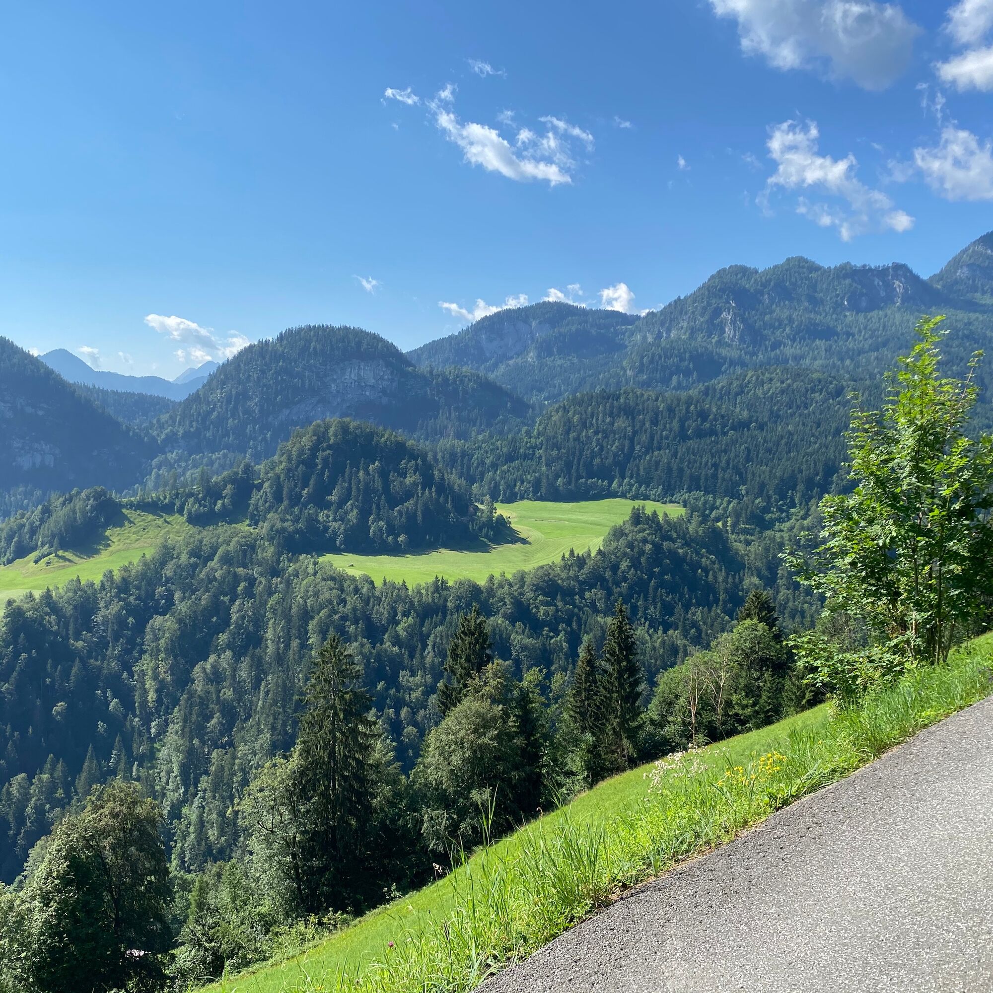
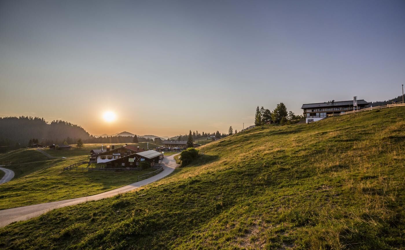
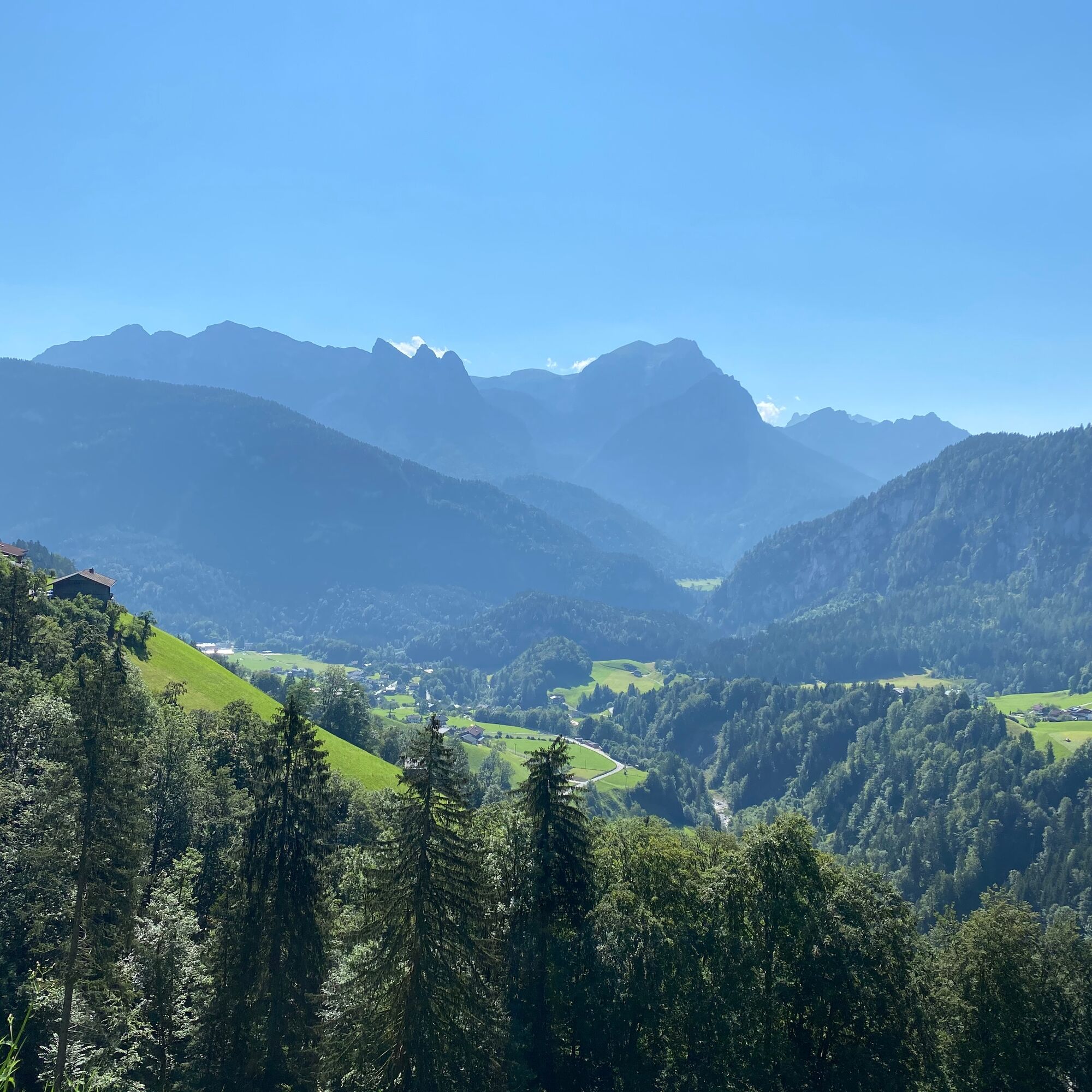
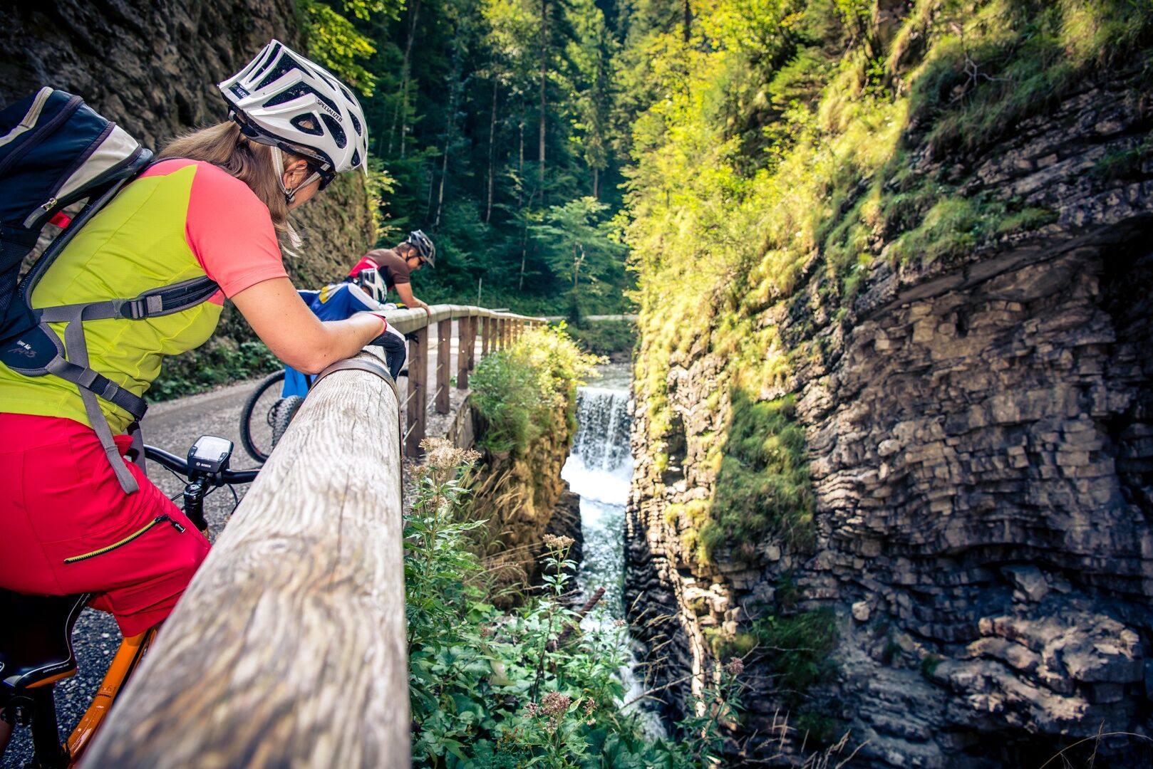
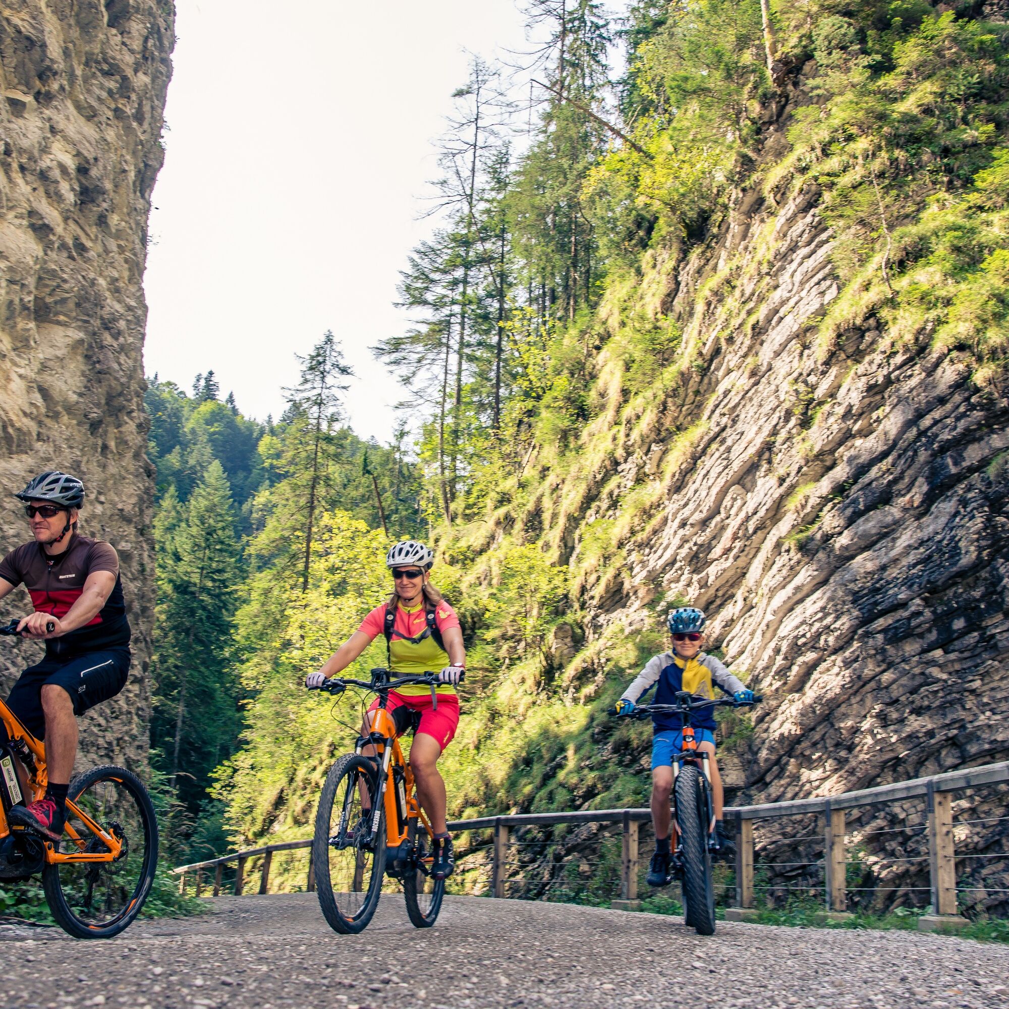

Unken - Sonnberg - Heutal - Winklmoos - Tanzanger - Schwarzbergklamm - Unkenbachtal - Friedlwirt - Unken
Tak
In addition to a water bottle, we recommend sturdy footwear, warm clothing and rain protection, repair kit, first aid kit, mobile phone, lights, gloves, sunglasses, and something to eat. And of course, don’t forget the helmet.
Coming from Salzburg, turn right to Unken after the Steinpass border crossing.
Coming from Lofer/Zell am See, turn right to Unken before the Achbergtunnel.
The start of the route is at the municipal office in Unken.
Bus line 260 (Schedule) - Bus stop Unken - Town centre
Parking options in the town centre of Unken.
A detour to the Wildalm, where a beautiful panoramic view awaits with a cool drink, is recommended.

Kamery internetowe z trasy
Schwarzlofer
Waidring - Kammerkör
Winklmoosalm
Almenwelt Lofer
Almenwelt Lofer
Almenwelt Lofer
Almenwelt Lofer
Almenwelt Lofer
Almenwelt Lofer
Almenwelt Lofer
Almenwelt Lofer
Almenwelt Lofer
Loderbichl - Talblick von Mittelstation, 1000 m
Reit im Winkl - Winklmoosalm
Heutal - Wildalm Talstation
Heutal - Sattelkurvenlift Berg
Heutal Lifte Unken - Wildalm Bergstation
Waidring Kammerkör
Schwarzlofer
Uzyskaj wgląd Zawsze na żywo z ponad 9 500 kamer internetowych. bergfex Jako użytkownik Pro, możesz teraz zobaczyć odpowiednie kamery internetowe dla wielu wycieczek w aplikacji wycieczki od. Pozwala to na bezpośredni podgląd aktualnych warunków. Popularne wycieczki w okolicy
- 4,2
Erpfendorf: Griesbachklamm
średniWędrówka 10 km - 4,3
Halsalm
Wędrówka 6,43 km - 4,8
Atemberaubende Aussicht auf dem Dürrnbachhorn
średniWędrówka 8,44 km - 4,7
Loferer Steinberge, zum Hinterhorn über die Schmid-Zabierow Hütte, 19.06.22
ciężkiWędrówka 14,0 km - 4,7
Over the waterfall trail into the Almenwelt Lofer
średniWędrówka 3,29 km - 4,5
Rundweg vom Hintersee zur Halsalm
średniWędrówka 9,53 km - 4,5
Unternberg
światłoWędrówka 9,20 km - 4,7
CHIEMGAU: Hörndlwand (1684m), Gurnwandkopf (1691m)
światłoWędrówka 12,6 km - 3,4
From Heutal to Sonntagshorn in the Salzburger Saalachtal
średniWędrówka 11,7 km - 4,3
unternberg Ruhpolding, Bayern
średniWędrówka zimą 3,82 km
Wędrówki i tropienie


Nie przegap ofert i inspiracji na następne wakacje
Twój adres e-mail została dodana do listy mailingowej.





