






Canalettoweg
Winter refreshment open:
Restaurant in the Romantik Hotel Deutsches Haus
Platzhirsch Pirna
Restaurant Lazy Laurich
Café Kaffeerösterei Schmole

The market square in Pirna, with its beautiful cafés and restaurants, is the starting and finishing point of this circular walk. Head east along Kirchgasse, where you can marvel at the beautiful entrance portal of St. Mary's Church and, a little further on, both the Teufelserker and a drinking fountain.
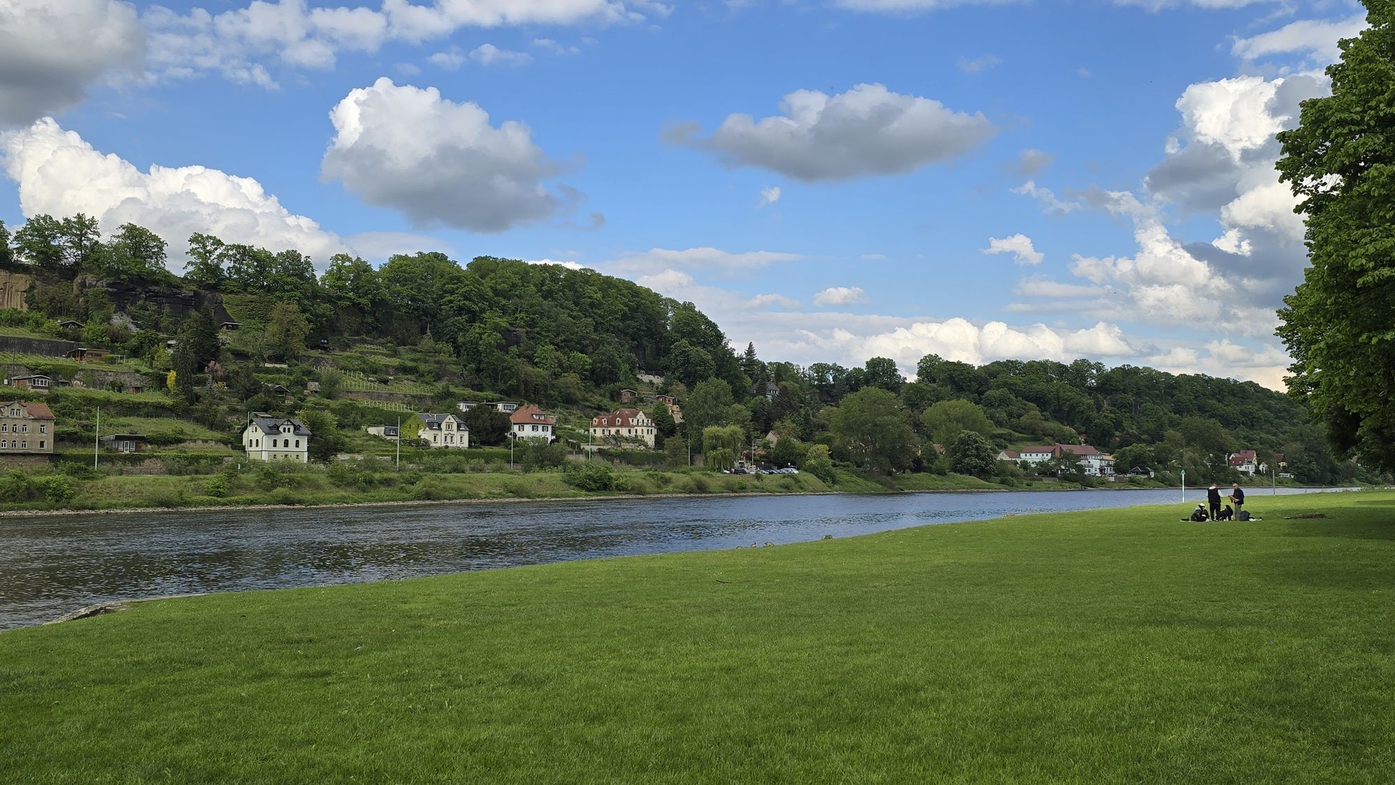
Continue on historic pavements up to Schlossberg, where Sonnenstein Castle stands high above the town. From up here you have a wonderful view of Pirna and in good weather you can even see as far as Dresden. For the rest of the way, follow the red "C" on a yellow background. Below the old fortress walls, the path leads eastwards. Here you will find information boards about the historical events around "Sonnenstein". As soon as the Canaletto Trail leads upwards again, you branch off down the slope. Along the Elbe cycle path, you now head west again. On this path you pass the street "Am Plan", which is almost a small village in itself. After the floods of 2002, 2006 and 2013, lovingly restored half-timbered houses have been erected here around a small square. If you follow the path, you will come back to the market through Pirna's "pub district".
Edition with 35 selected hiking routes incl. winter refreshment stop
This hike is a blue route (easy tour, mostly flat, often cleared, almost always hikeable).
Uzyskaj wgląd
Zawsze na żywo z ponad 9 500 kamer internetowych. bergfex Jako użytkownik Pro, możesz teraz zobaczyć odpowiednie kamery internetowe dla wielu wycieczek w aplikacji wycieczki od. Pozwala to na bezpośredni podgląd aktualnych warunków.
Popularne wycieczki w okolicy
-
4,7
Rathen / Hockstein / Bastei / Rathen
średniWędrówka 14,4 km -
4,6
Von Rathewalde zur Bastei
Wędrówka 12,8 km -
4,9
Rundwanderung Bastei Schwendenlöcher -Amselsee
światłoWędrówka 6,21 km -
5,0
Basteibrücke
światłoWędrówka 2,31 km -
4,7
Pfaffenstein Sachsen/Deutschland
średniWędrówka 3,89 km -
5,0
Lilienstein
światłoWędrówka 3,75 km -
4,9
Polenztal-Runde
średniWędrówka zimą 13,9 km -
5,0
Rauenstein von Weißig
średniWędrówka 4,35 km -
4,2
Kurort Rathen: Große Bastei-Runde
średniWędrówka zimą 4,75 km -
4,2
Rundwanderweg Rathen Lilienstein
średniWędrówka 12,5 km
Wędrówki i tropienie


Nie przegap ofert i inspiracji na następne wakacje
Twój adres e-mail została dodana do listy mailingowej.





