






Lichtenhain route

Winter refreshment open:
Restaurant Forsthaus in the Kirnitzschtal
Gasthof Lichtenhainer Wasserfall
Ottendorfer hut
Mountain restaurant Kuhstall
Berghof Lichtenhain
Overview opening hours Kirnitzschtalwirte
Winter refreshment open:
Restaurant Forsthaus in the Kirnitzschtal
Gasthof Lichtenhainer Wasserfall
Ottendorfer hut
Mountain restaurant Kuhstall
Berghof Lichtenhain
Overview opening hours Kirnitzschtalwirte

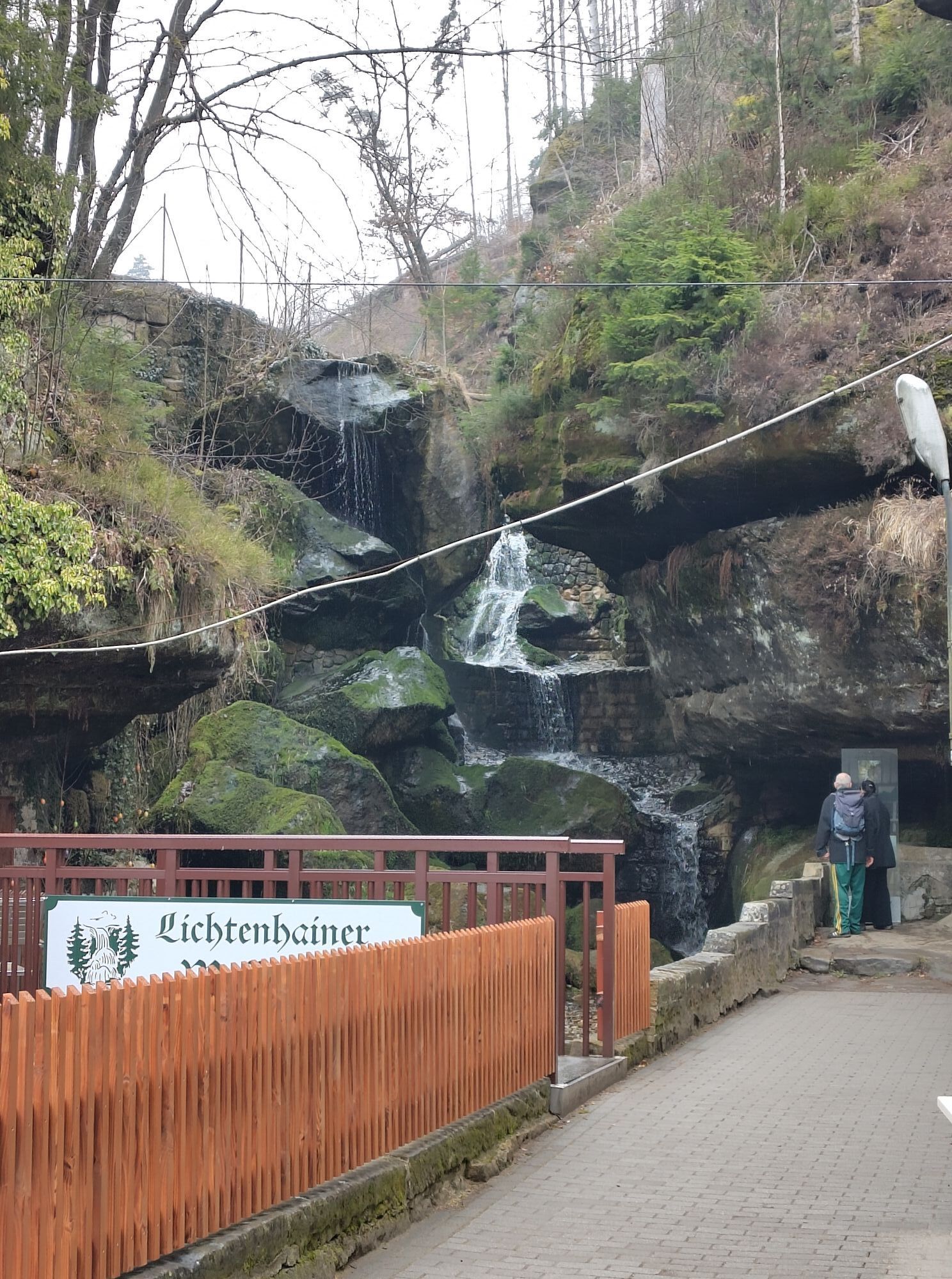
The Lichtenhain waterfall is a very popular excursion destination in the summer months, especially at weekends. On the one hand, there is a good inn here, but on the other hand, it is also the terminus of the Kirnitzschtal railway and the aforementioned waterfall. If you have to wait for the water to stop in summer, in winter the water flows down the mossy rocks here incessantly. If there is enough frost, beautiful ice cascades can be seen here.
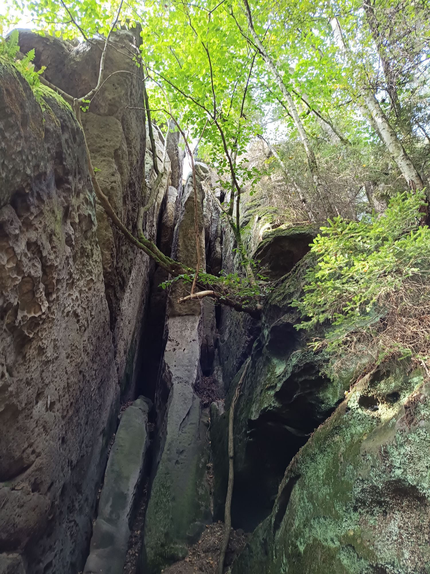
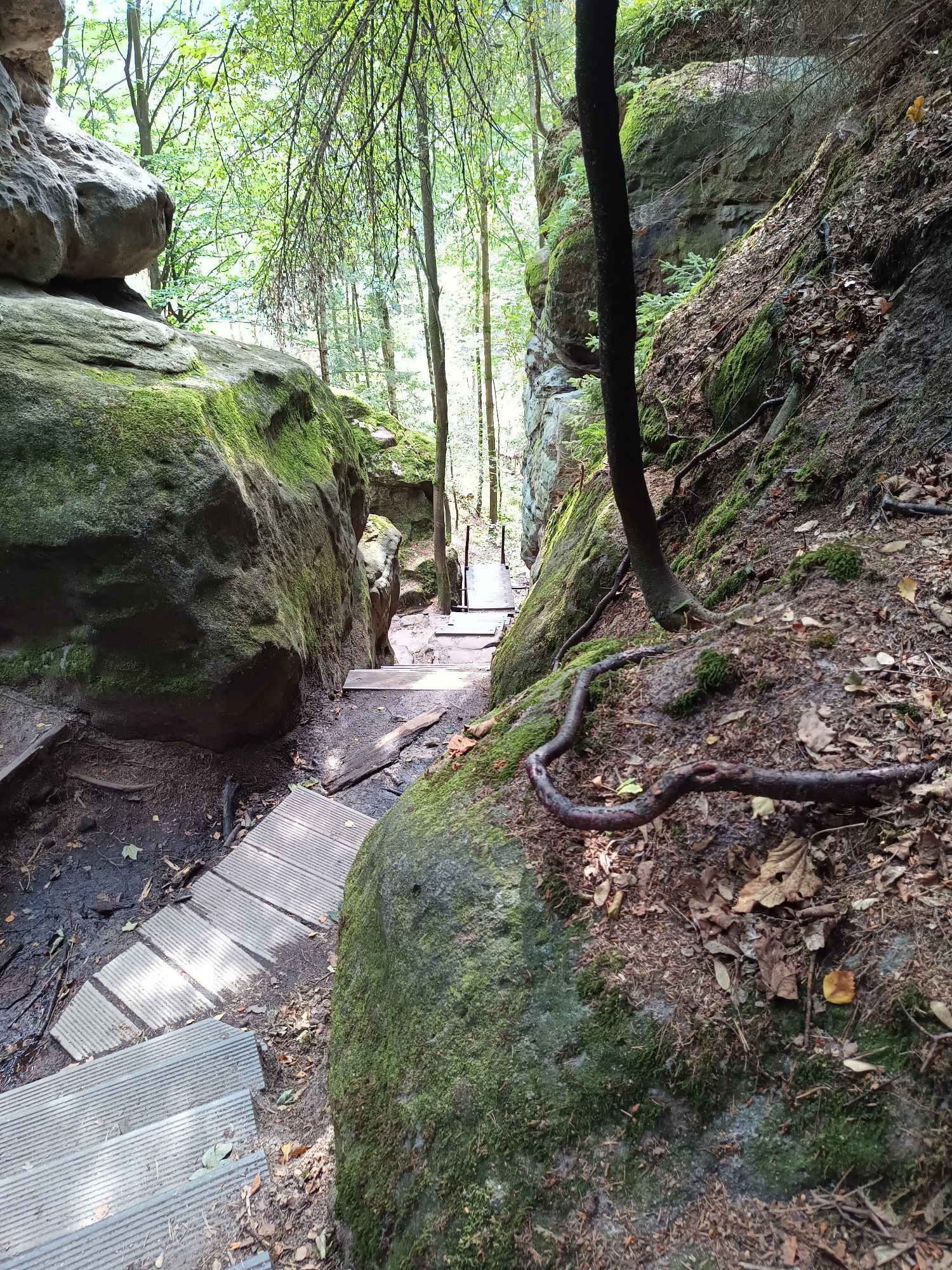
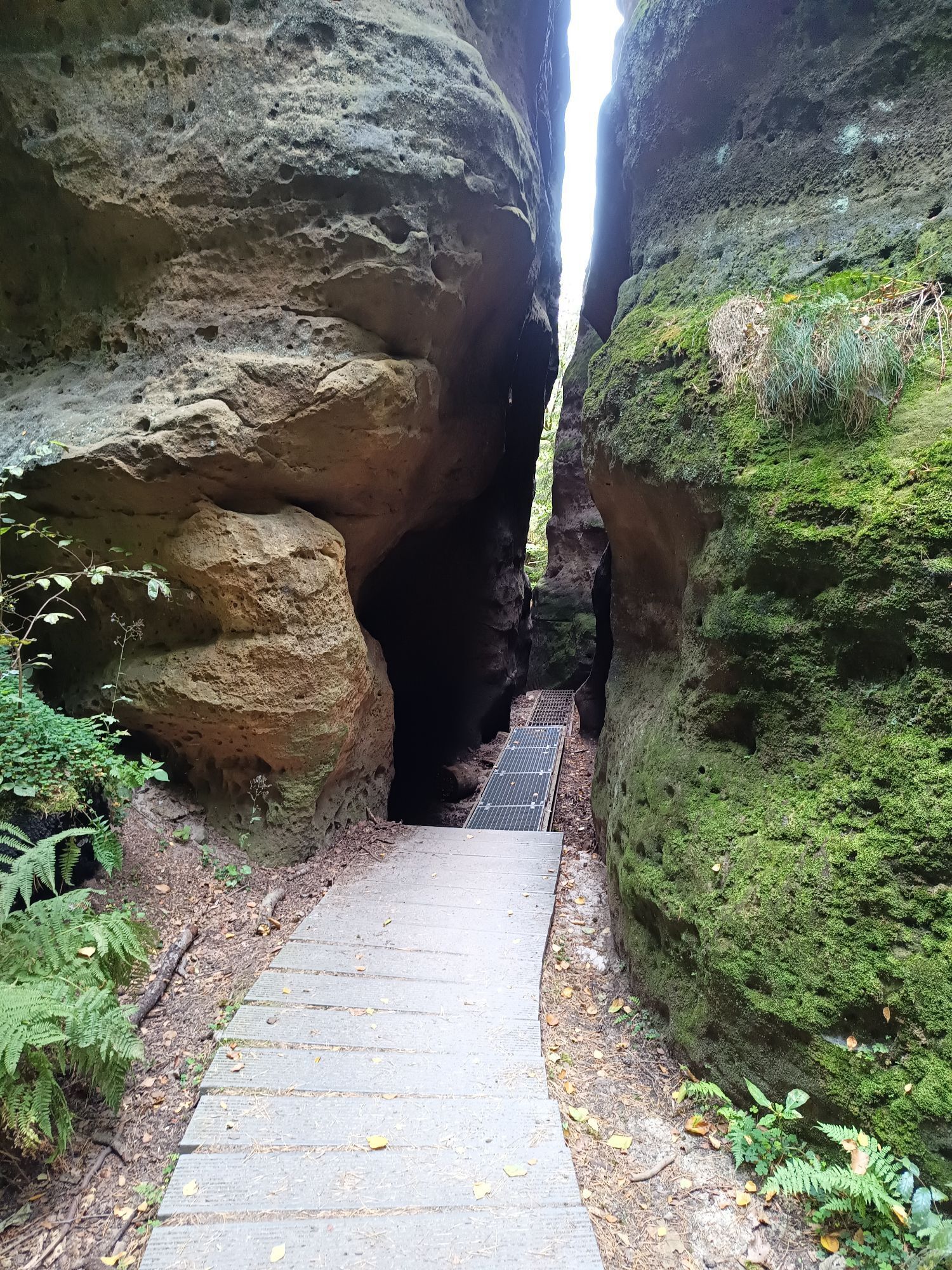
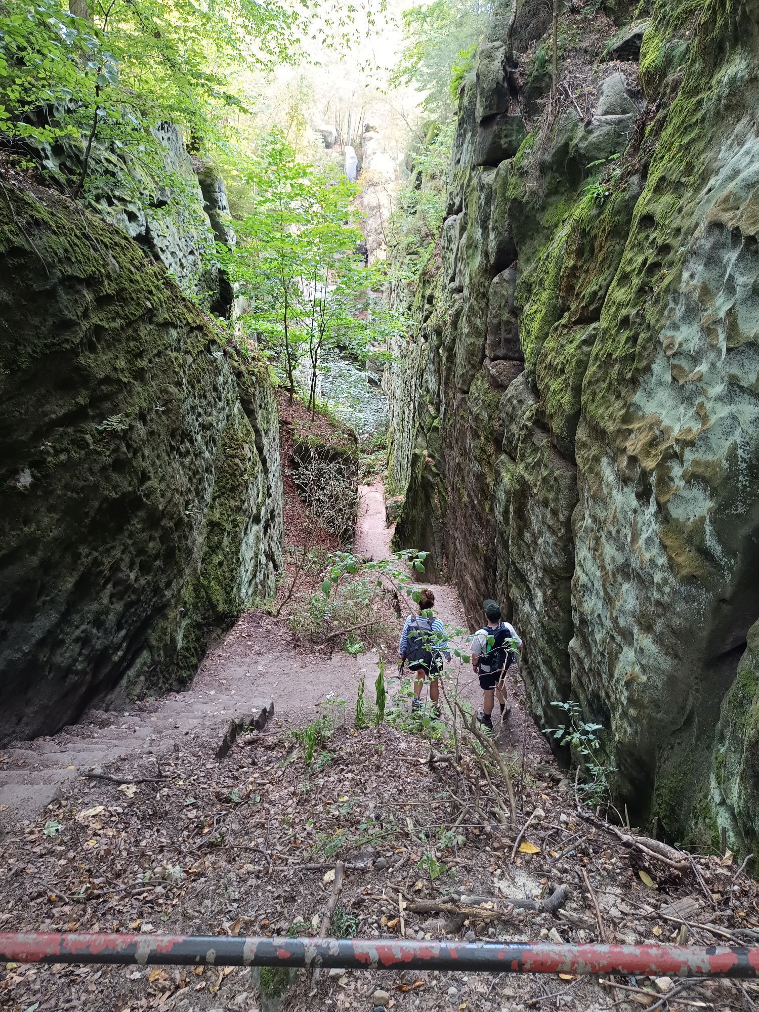
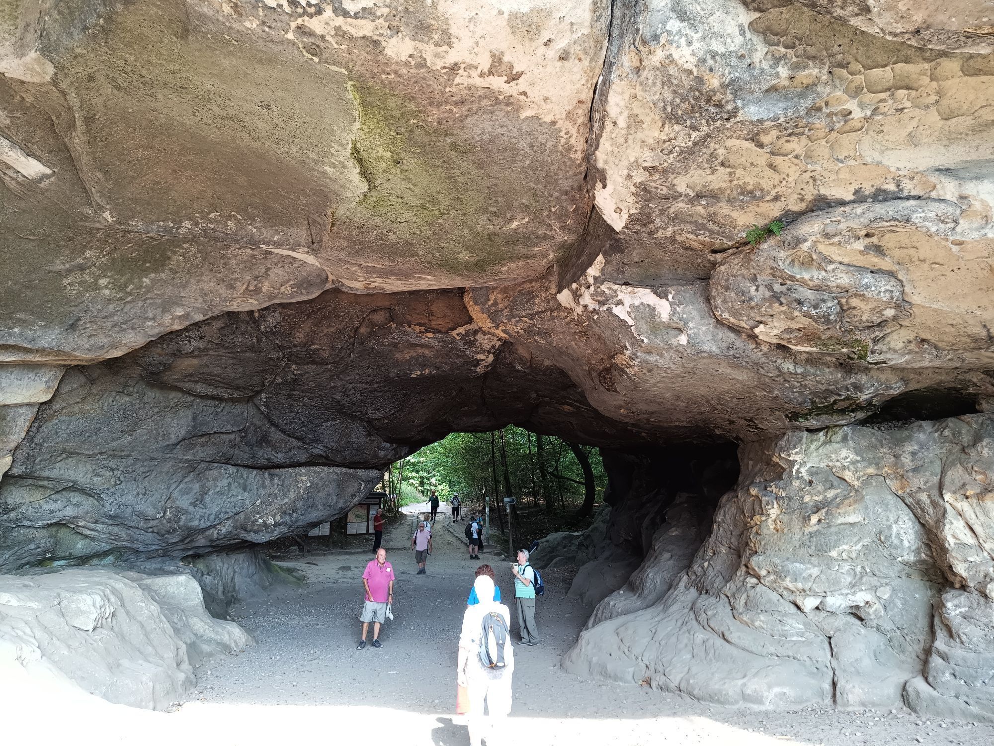
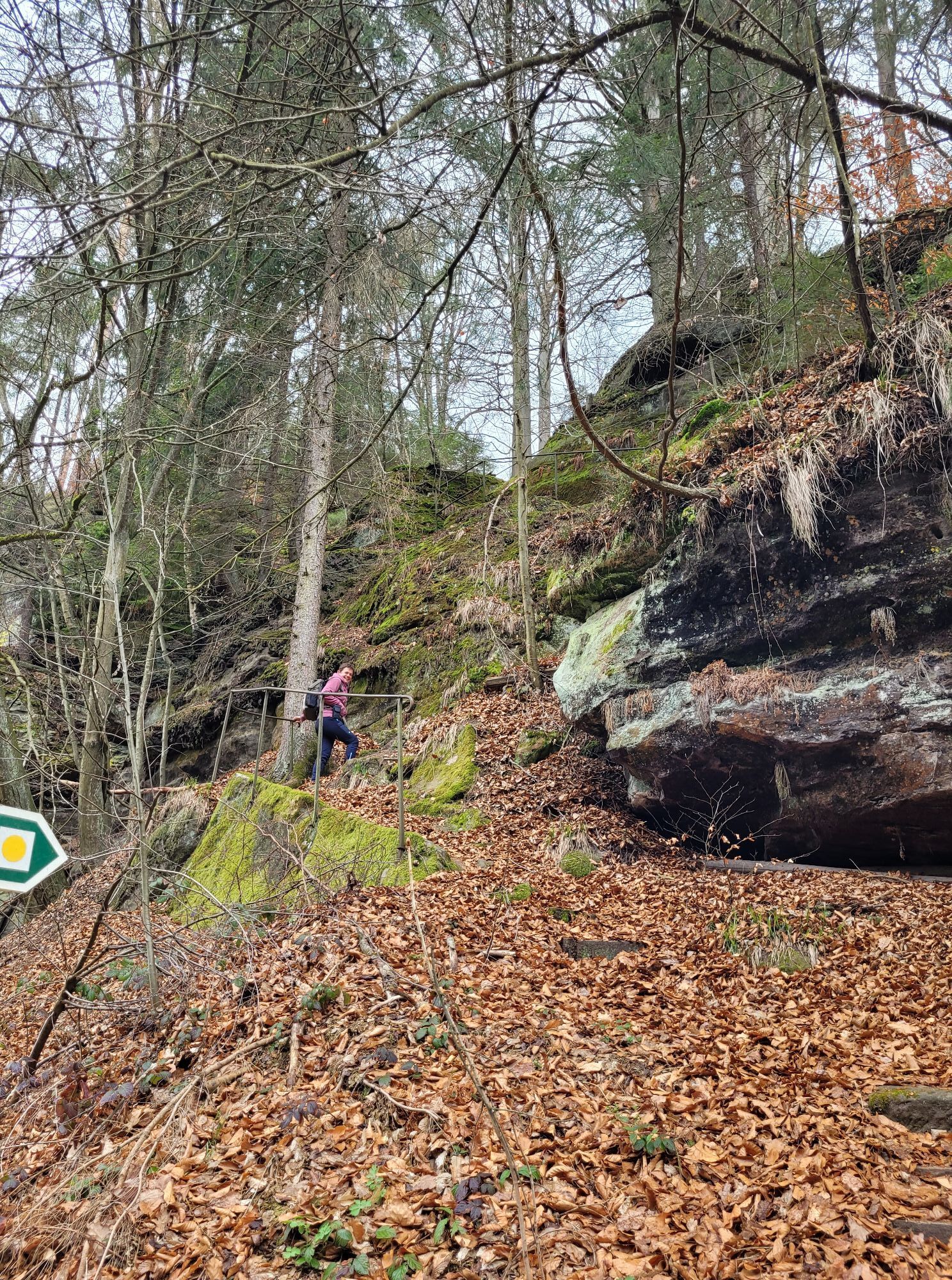
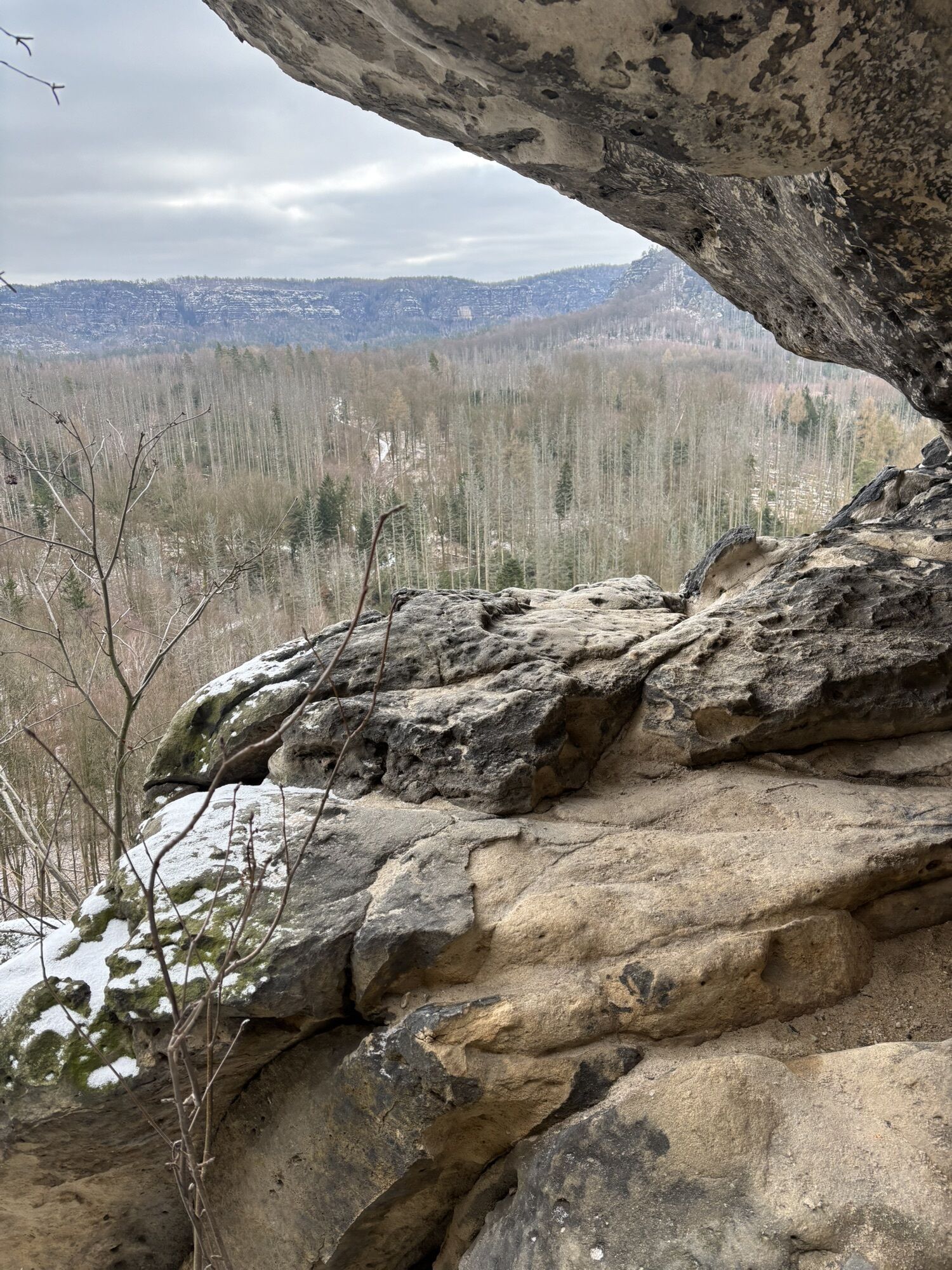
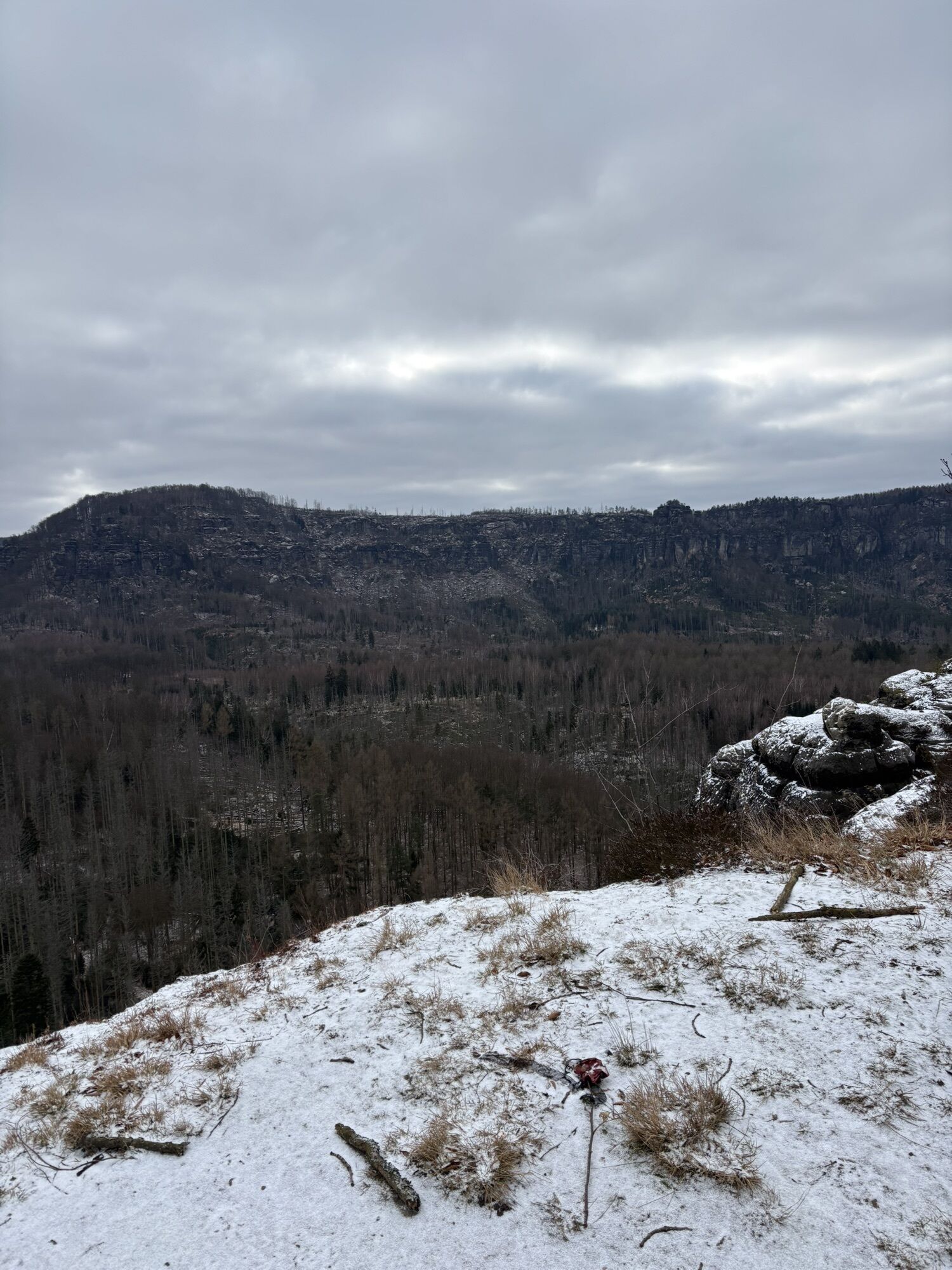
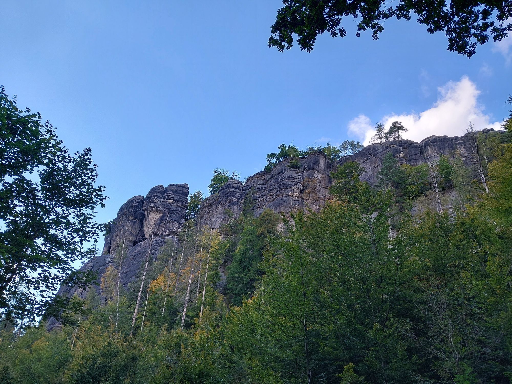
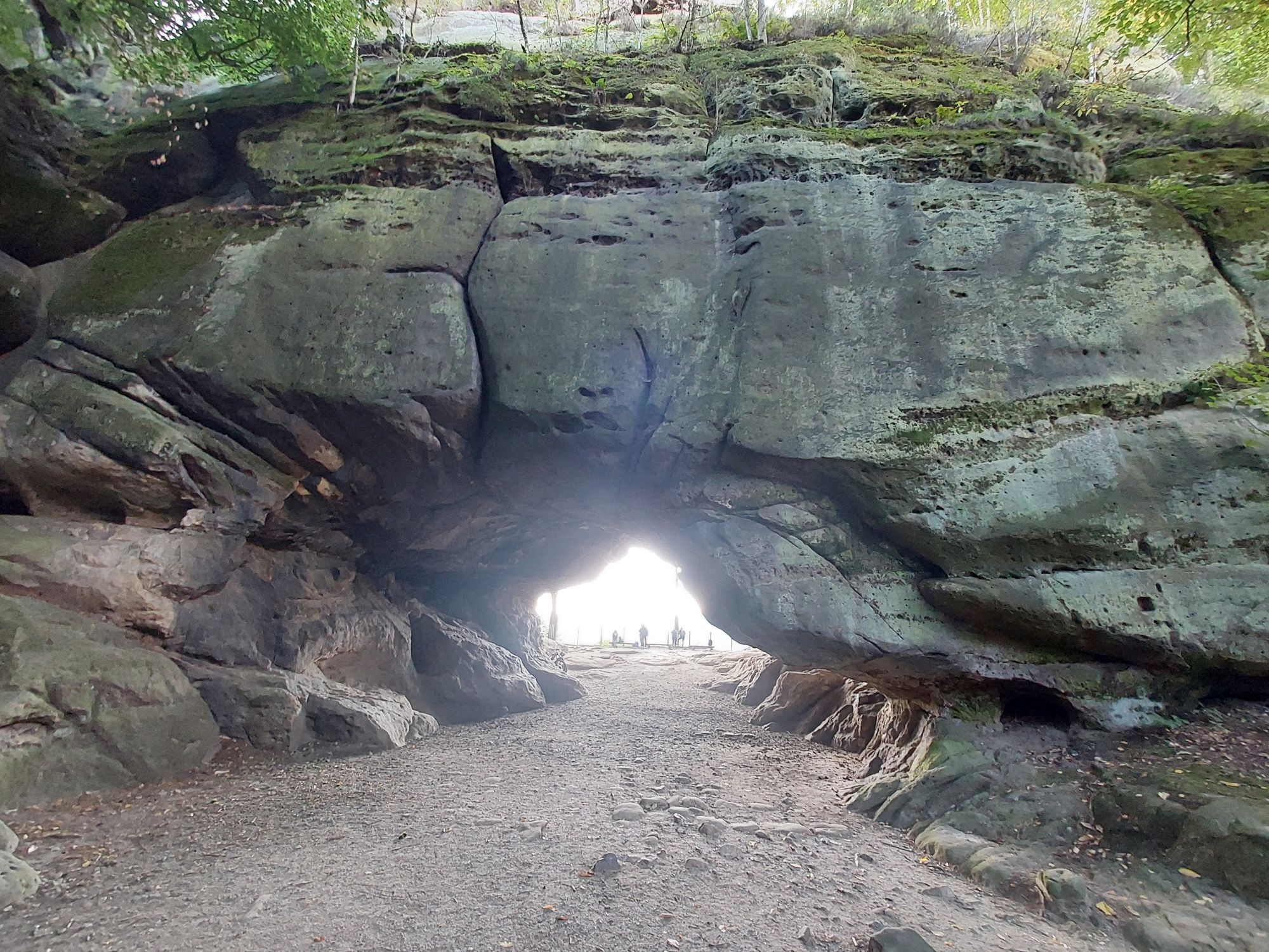
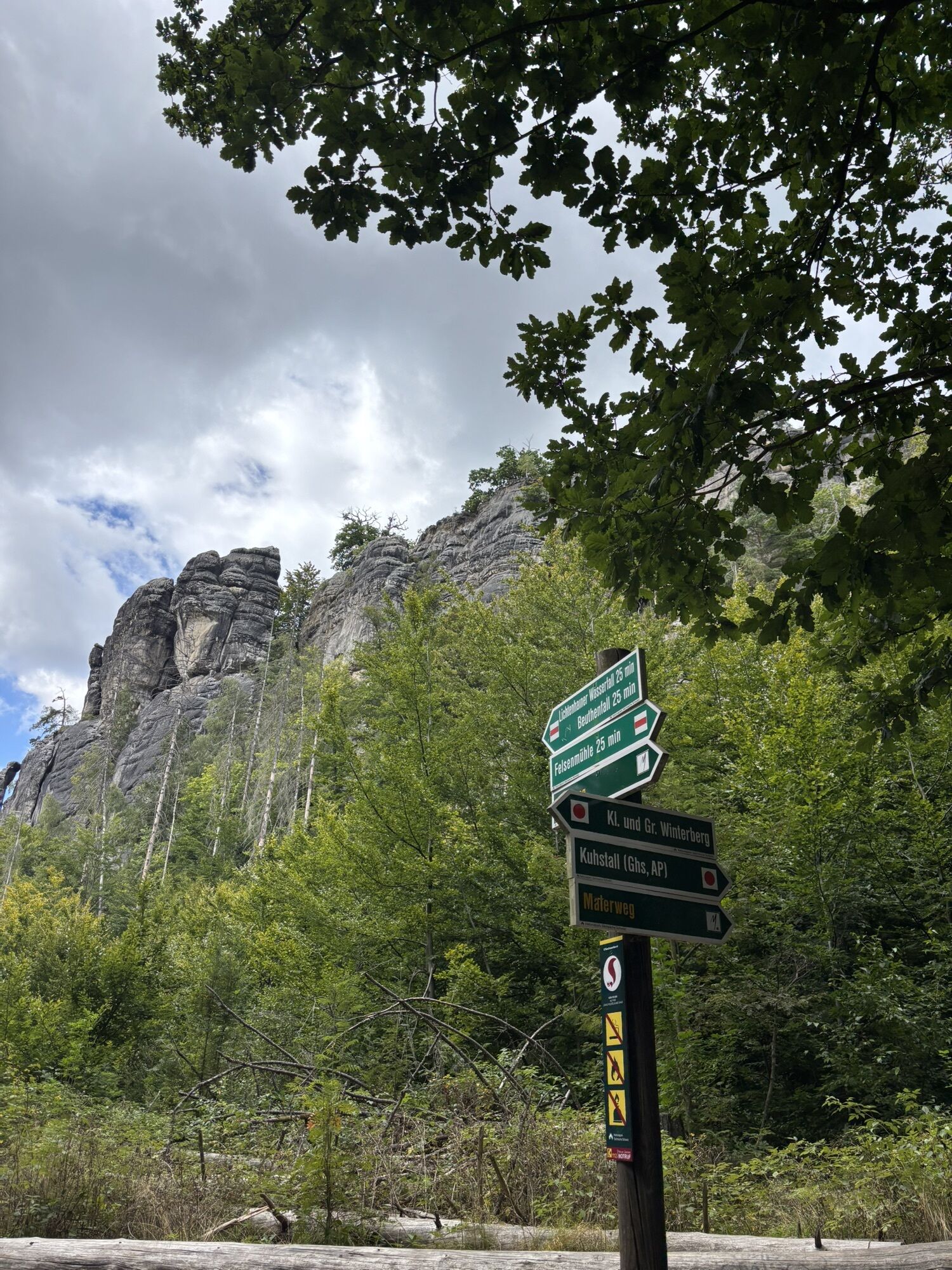
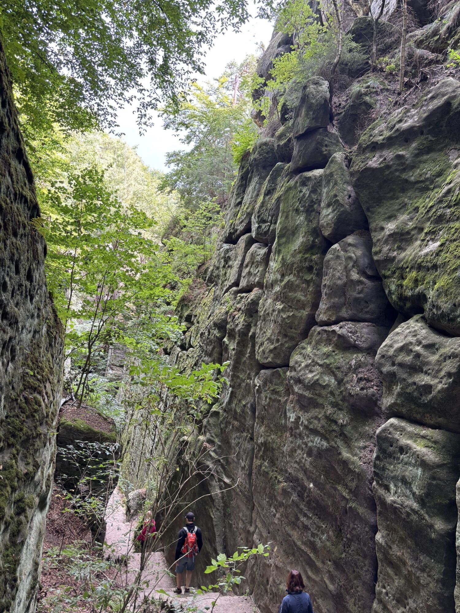
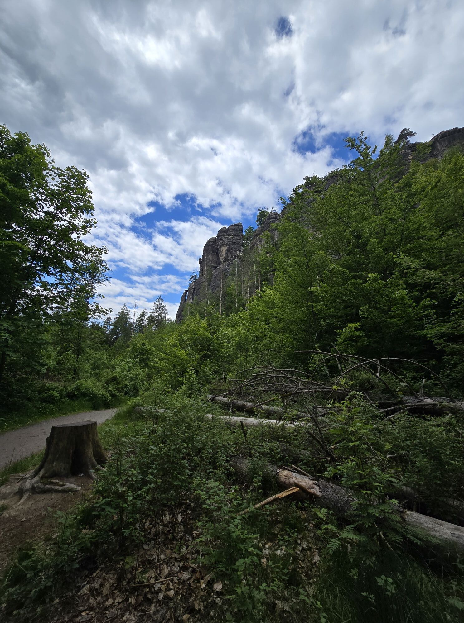
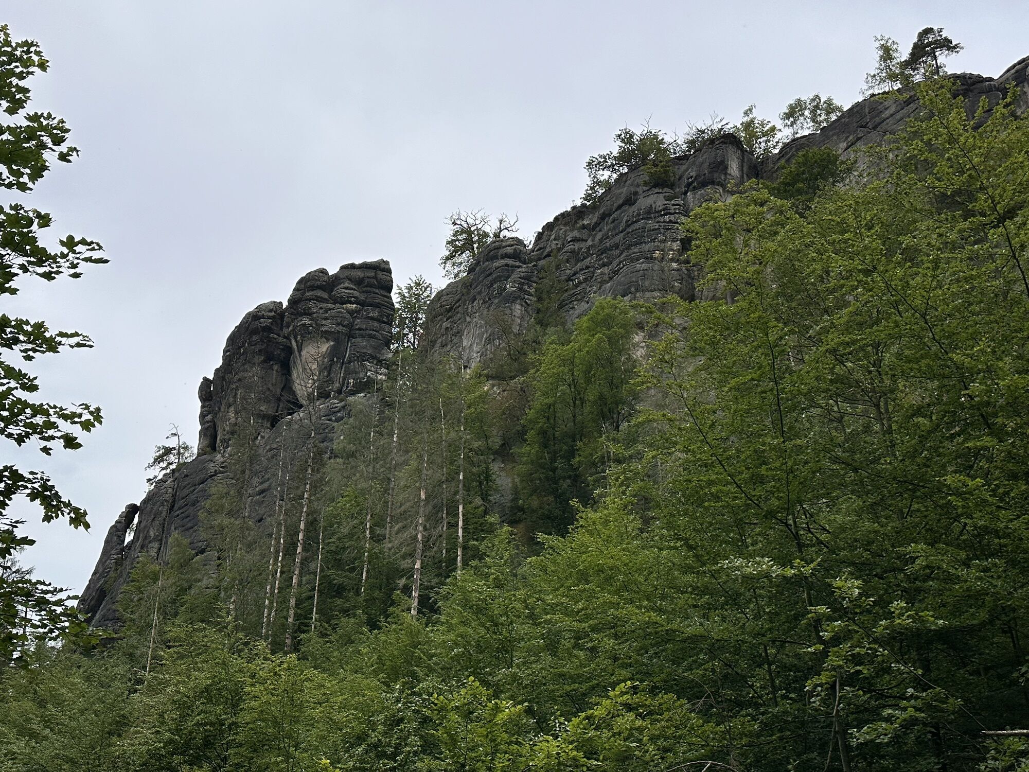
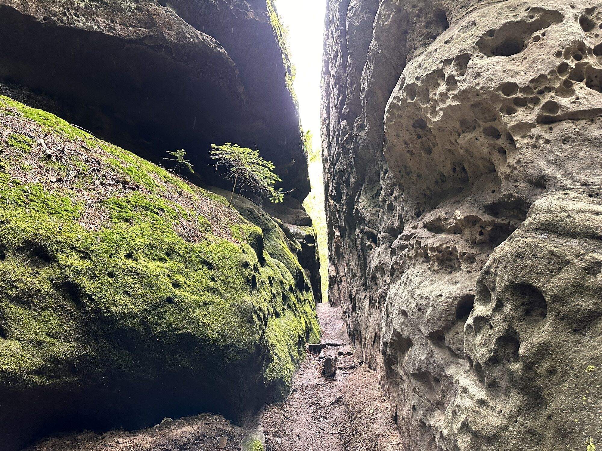
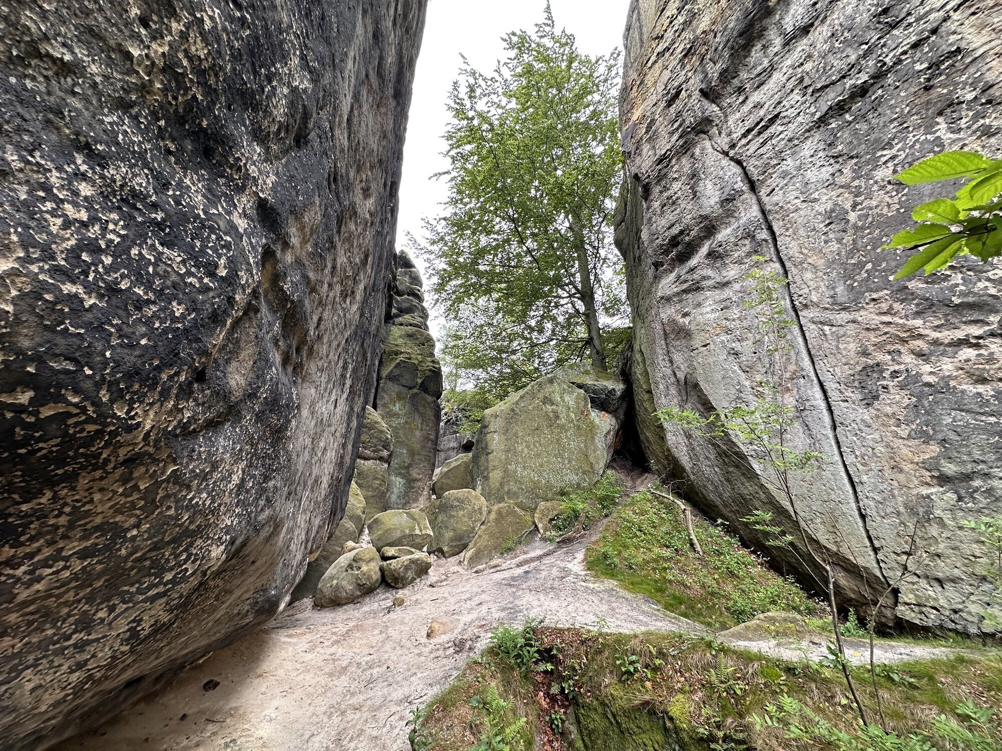
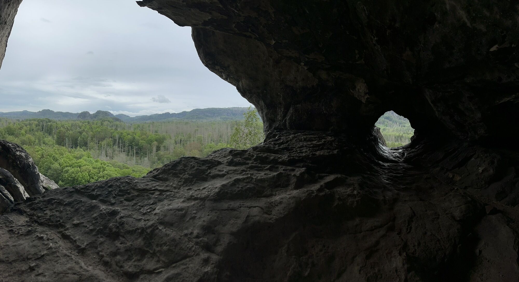
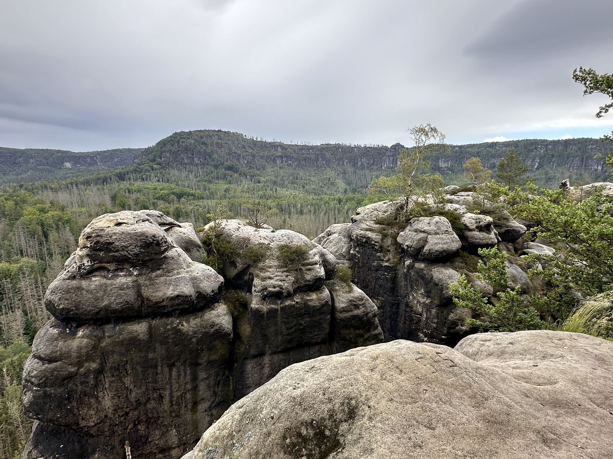
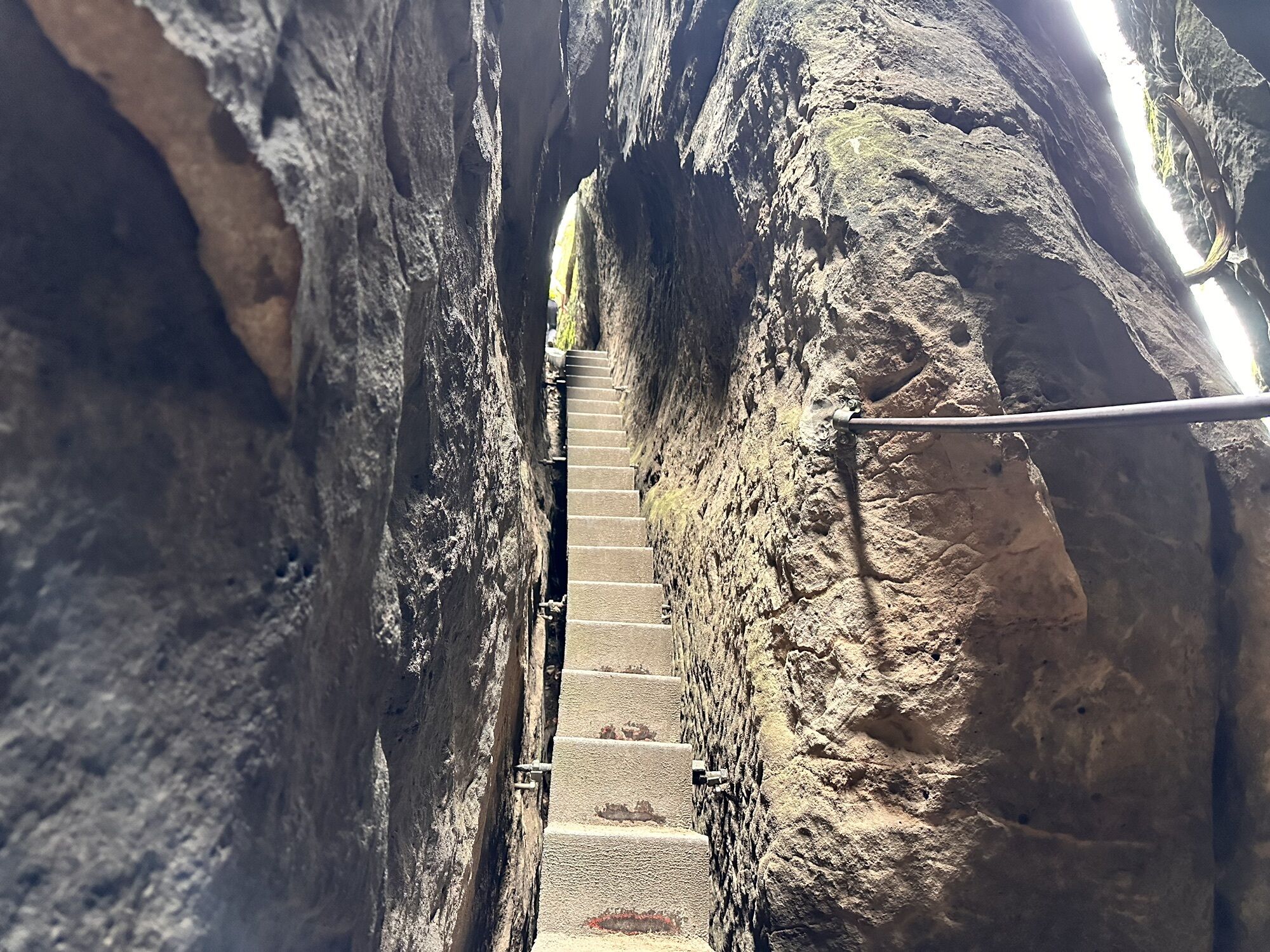
On the way up to the Neuer Wildenstein (known for the "Kuhstall"), you have to be careful not to walk all the way to the top. Here you can really rely on the good signposting and turn right at the first small "crossroads". Alternatively, a visit to the cowshed is of course also nice! Unfortunately, the mountain restaurant here is closed in winter. Nevertheless, you can take the steps down to the "Kleiner Winterberg" and then turn left towards "Ferkelschlüchte" onto the Malerweg. However, this path is not recommended in snow and ice. This path has long required temperatures well above zero.
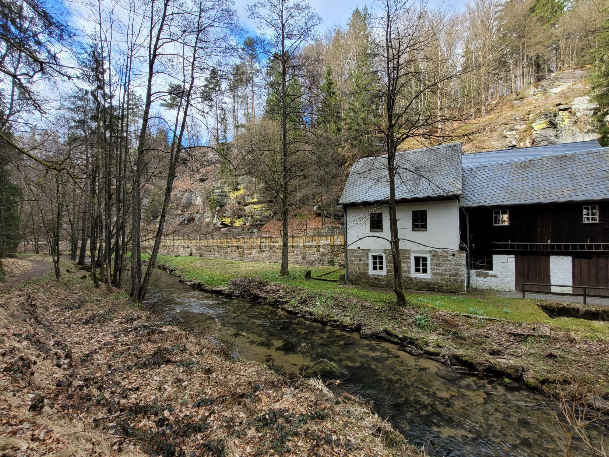
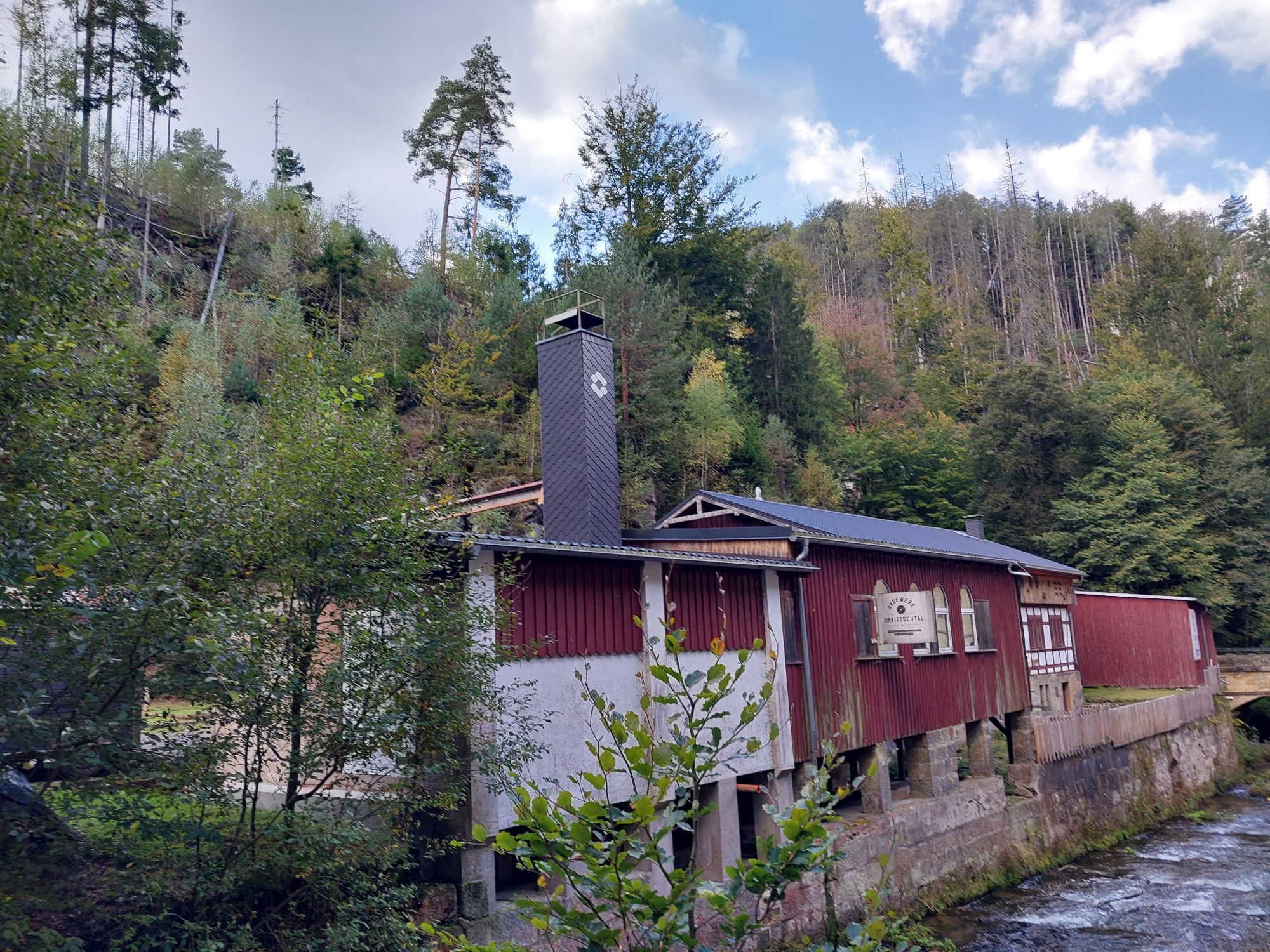
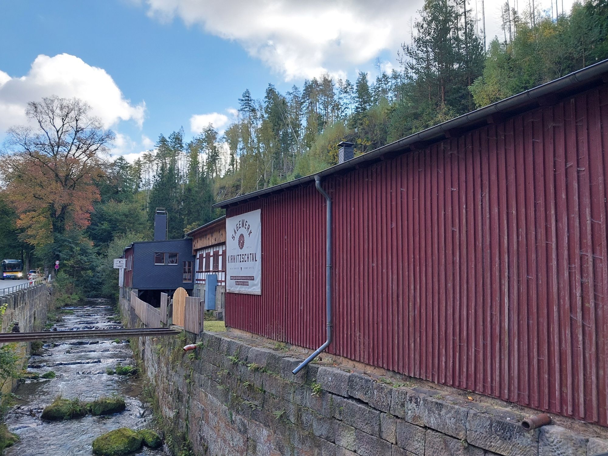
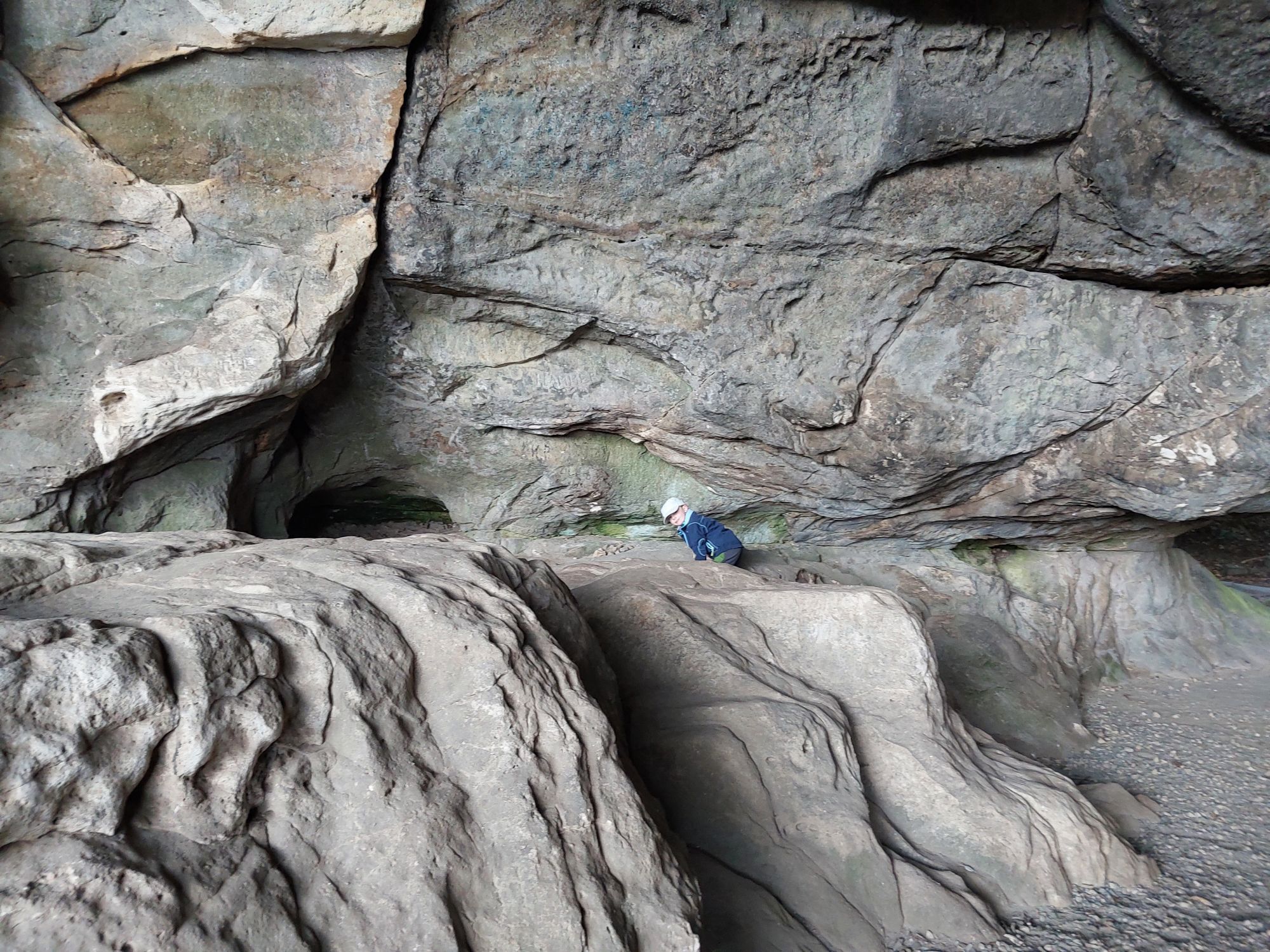
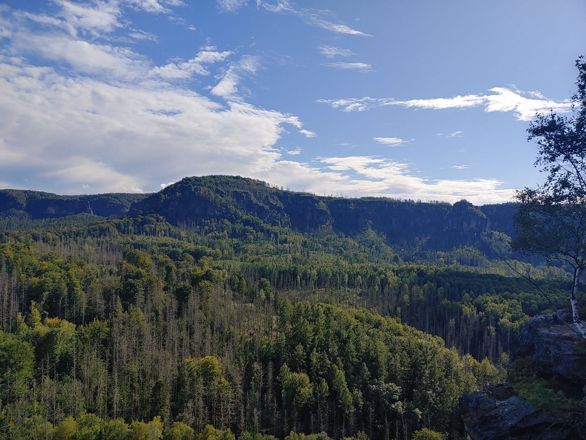
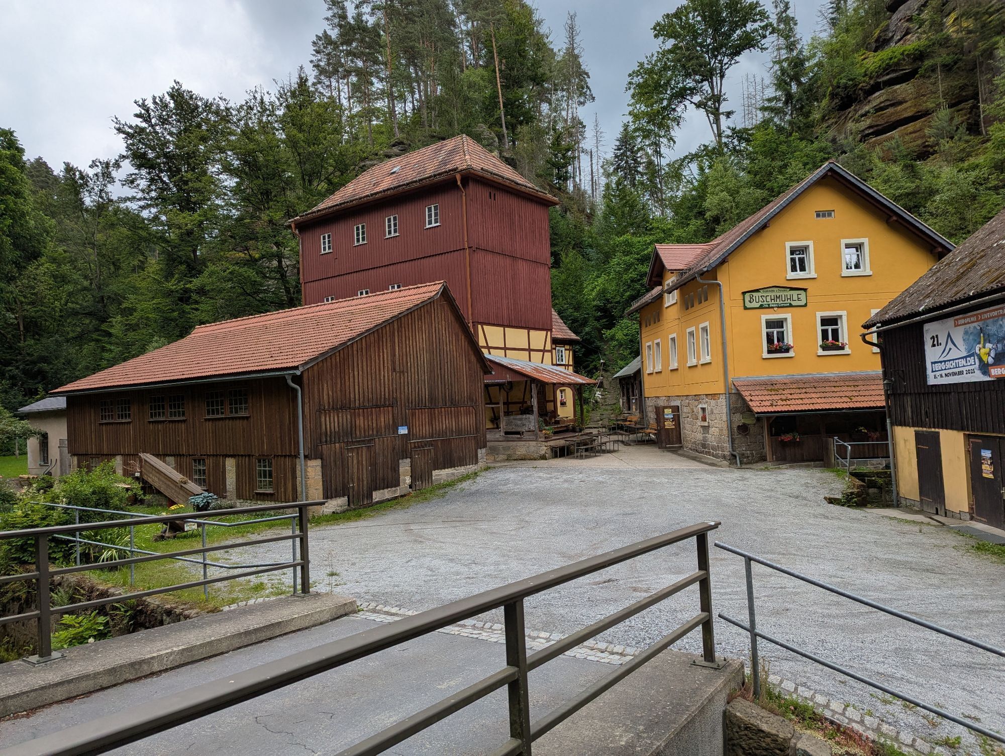
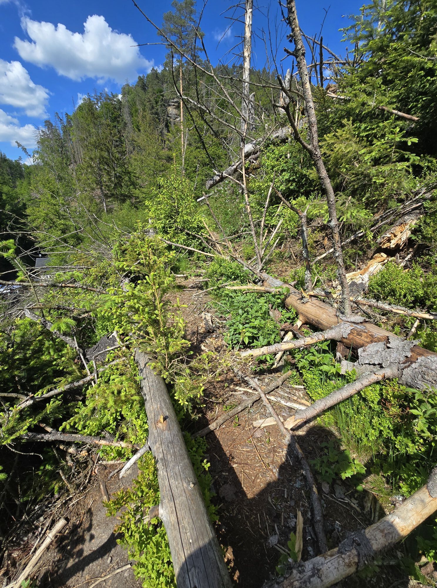
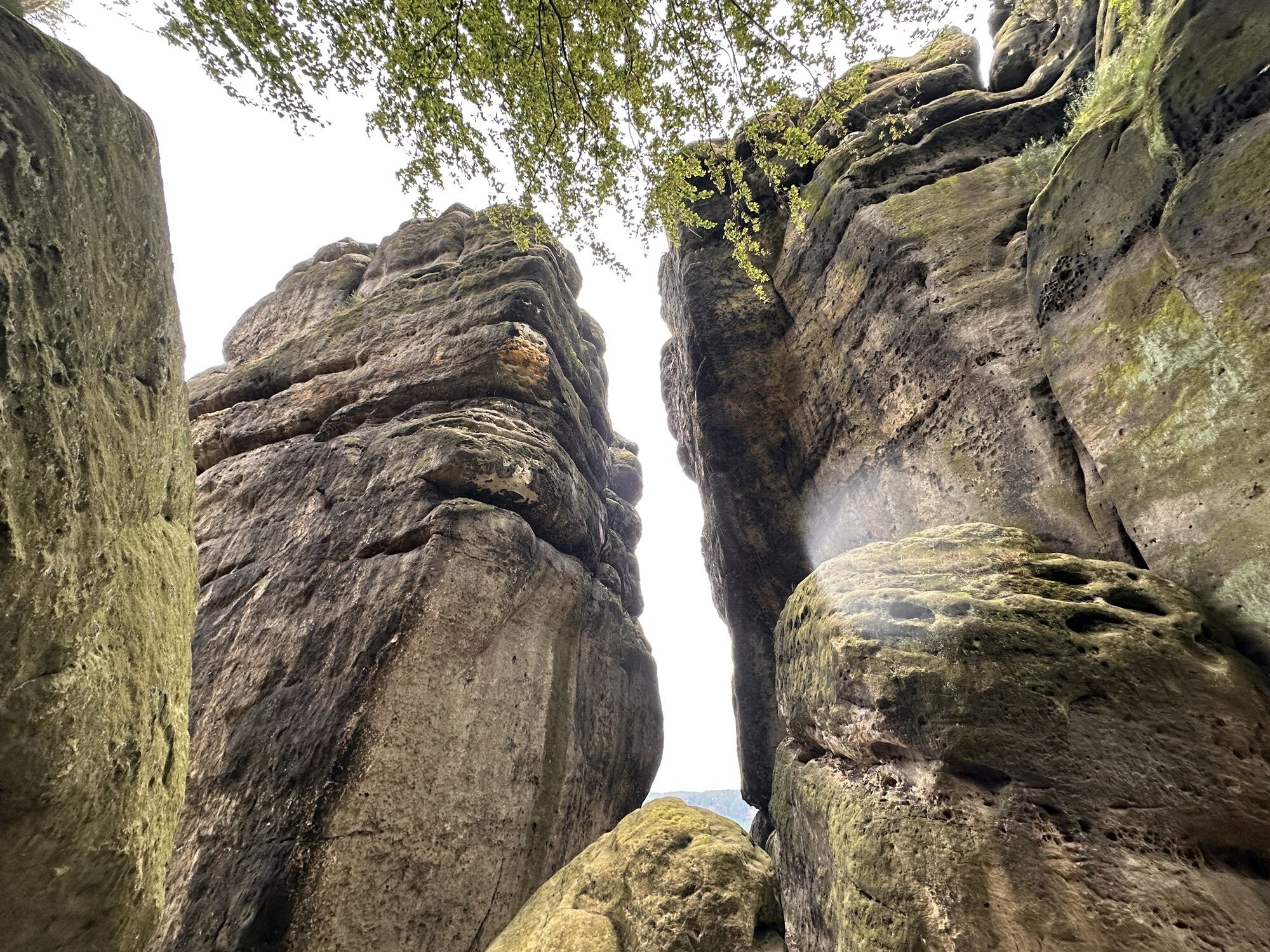
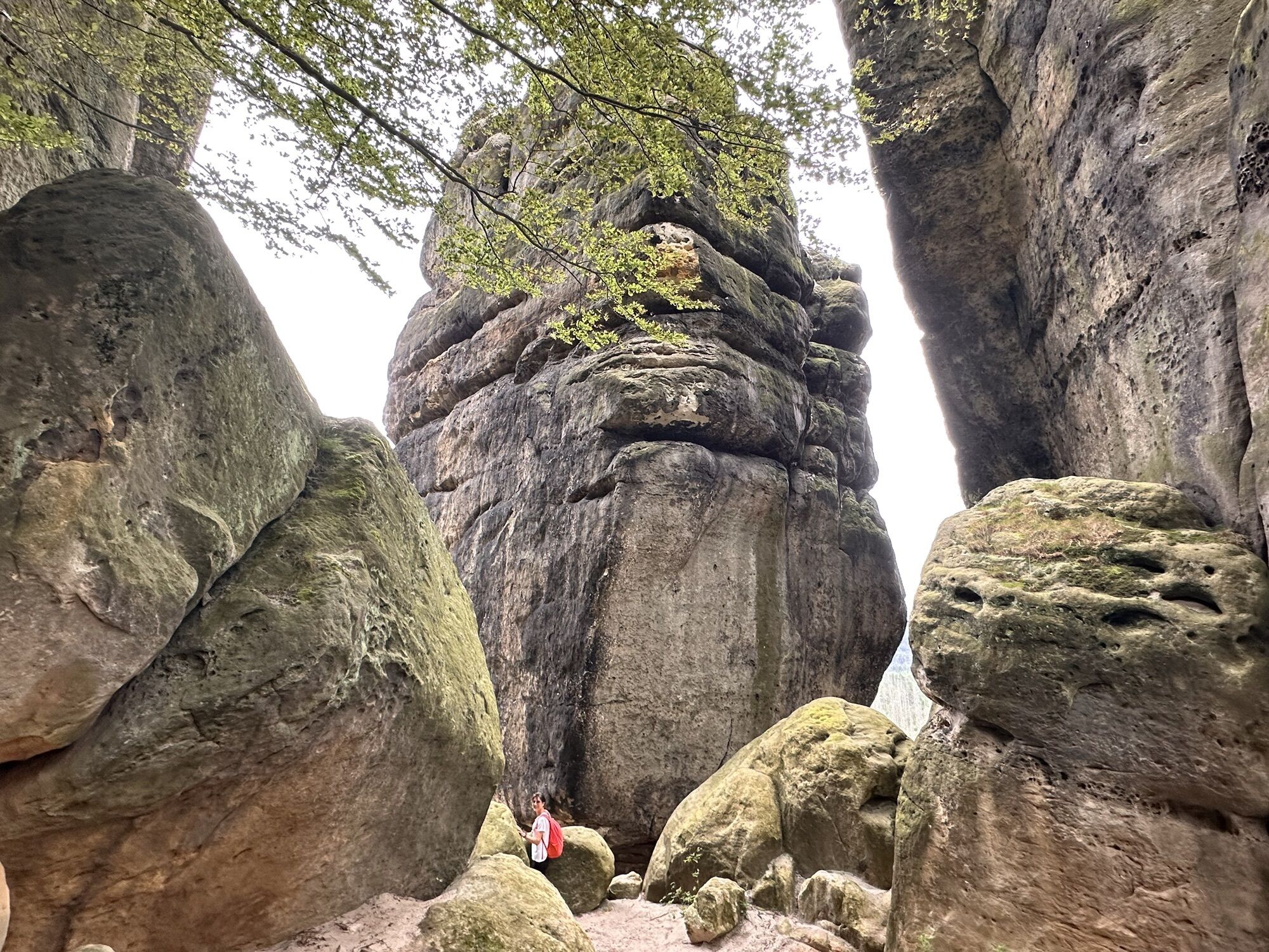
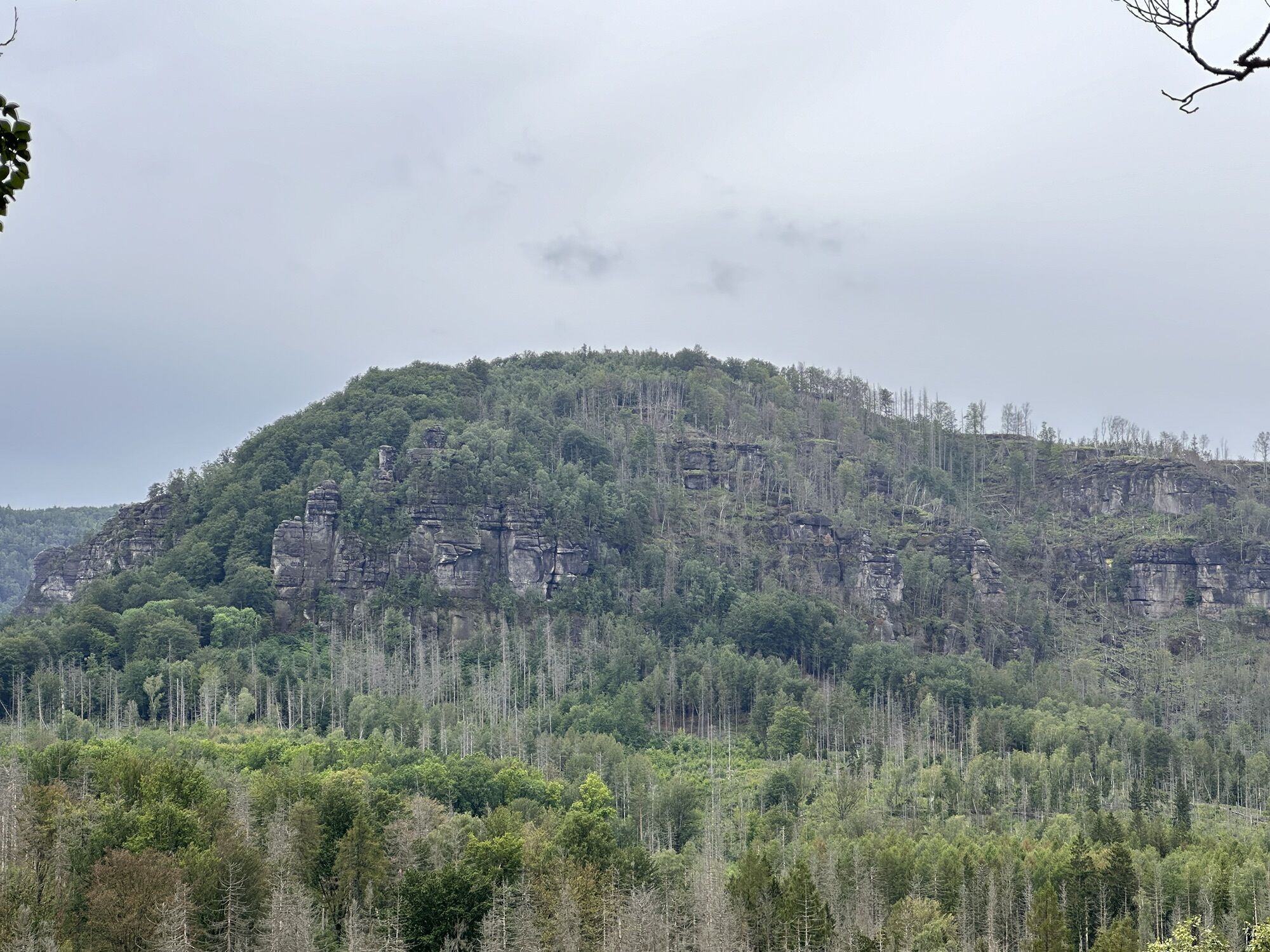
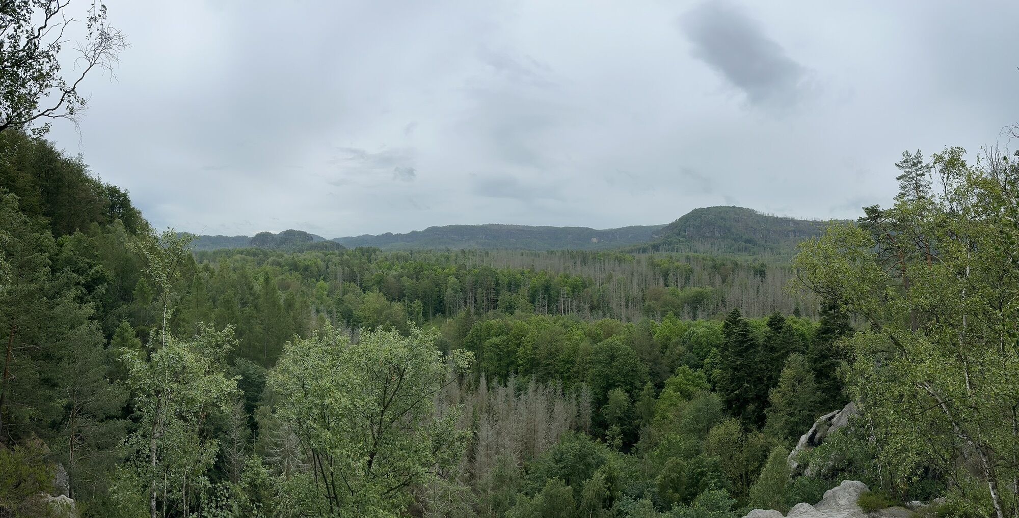
Unfortunately, you will pass traces of modern forestry work along the way, but the Ferkelschlüchte are still a short section worth seeing. The small Zschand road then leads directly into the Kirnitzschtal valley, where you pass 3 important mills along the road. The Felsenmühle, the Neumannmühle and the Buschmühle. Directly after the "Zum Kirnitzschtal" inn, an inconspicuous path leads off to the left. Follow this along meadows, fields and past the Knechtsbach stream to Lichtenhain. In Lichtenhain you will find a very nice place to stop for refreshments in the restaurant and hotel "Berghof Lichtenhain". Invigorated and energised, the route then descends along a pleasant country lane back down into the Kirnitzschtal valley to the Lichtenhain waterfall.
Edition with 35 selected winter hiking routes incl. winter refreshment stops
This hike is a red route (moderately difficult tour, with slight inclines, possibly difficult in deep snow).
From/to Lichtenhain waterfall: Kirnitzschtal railway
Beuthen Falls (Kirnitzschtal)
Interesting facts about winter hiking in Saxon Switzerland
Uzyskaj wgląd
Zawsze na żywo z ponad 9 500 kamer internetowych. bergfex Jako użytkownik Pro, możesz teraz zobaczyć odpowiednie kamery internetowe dla wielu wycieczek w aplikacji wycieczki od. Pozwala to na bezpośredni podgląd aktualnych warunków.
Popularne wycieczki w okolicy
-
4,7
Rathen / Hockstein / Bastei / Rathen
średniWędrówka 14,4 km -
4,6
Von Rathewalde zur Bastei
Wędrówka 12,8 km -
4,7
Rundwanderung Bastei Schwendenlöcher -Amselsee
światłoWędrówka 6,21 km -
4,5
Kuhstall, Himmelsleiter und Schneiderloch
średniWędrówka 4,06 km -
5,0
Basteibrücke
światłoWędrówka 2,31 km -
4,7
Pfaffenstein Sachsen/Deutschland
średniWędrówka 3,89 km -
5,0
Lilienstein
światłoWędrówka 3,75 km -
5,0
Prebischtor
średniWędrówka 18,9 km -
4,9
entlang der Schrammsteine, Breite Kluft, Affenwand
średniWędrówka 11,6 km -
4,4
Kurort Rathen: Große Bastei-Runde
średniWędrówka zimą 4,75 km
Wędrówki i tropienie


Nie przegap ofert i inspiracji na następne wakacje
Twój adres e-mail została dodana do listy mailingowej.





