


Heidelbach valley and goat rock
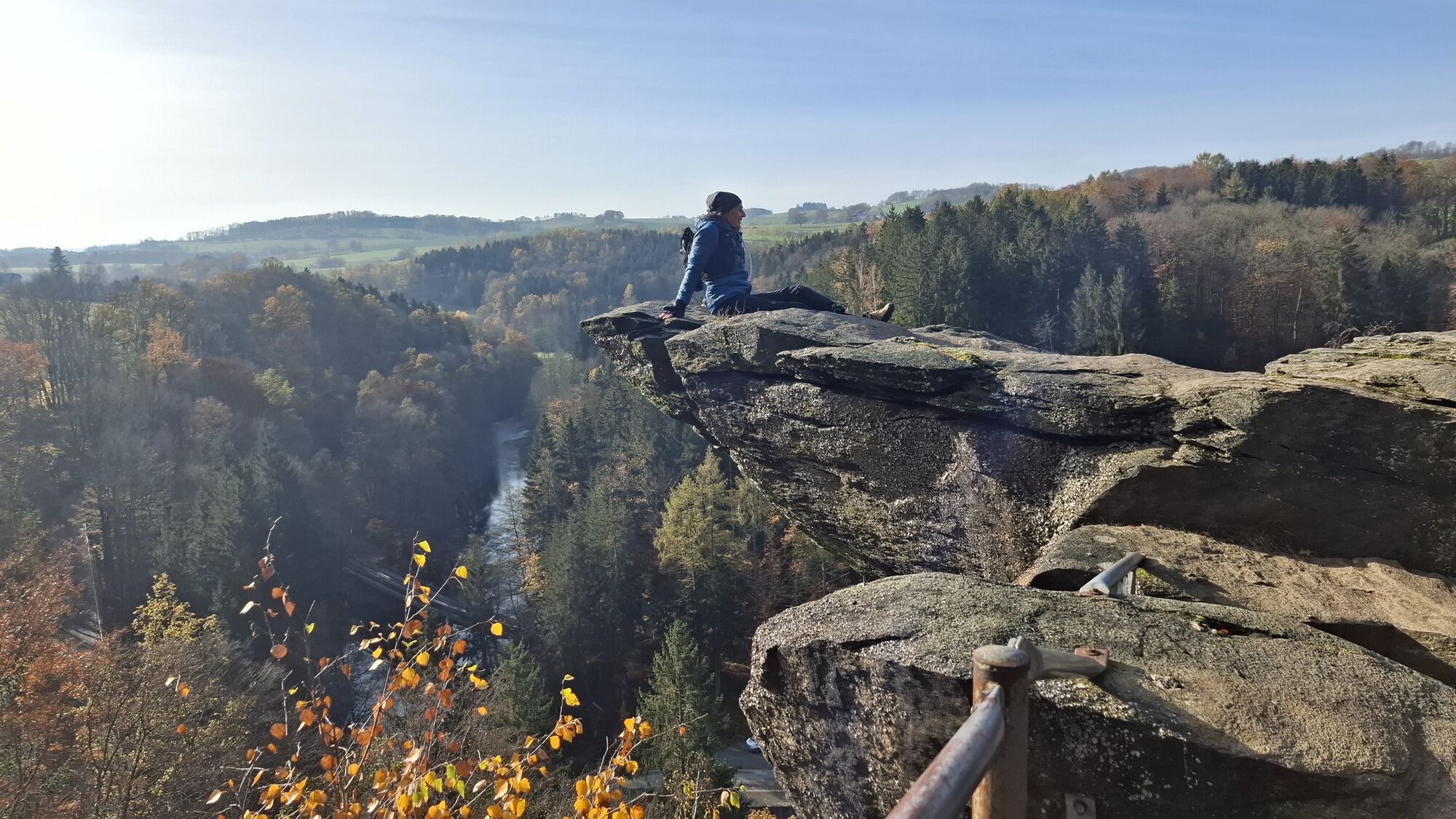
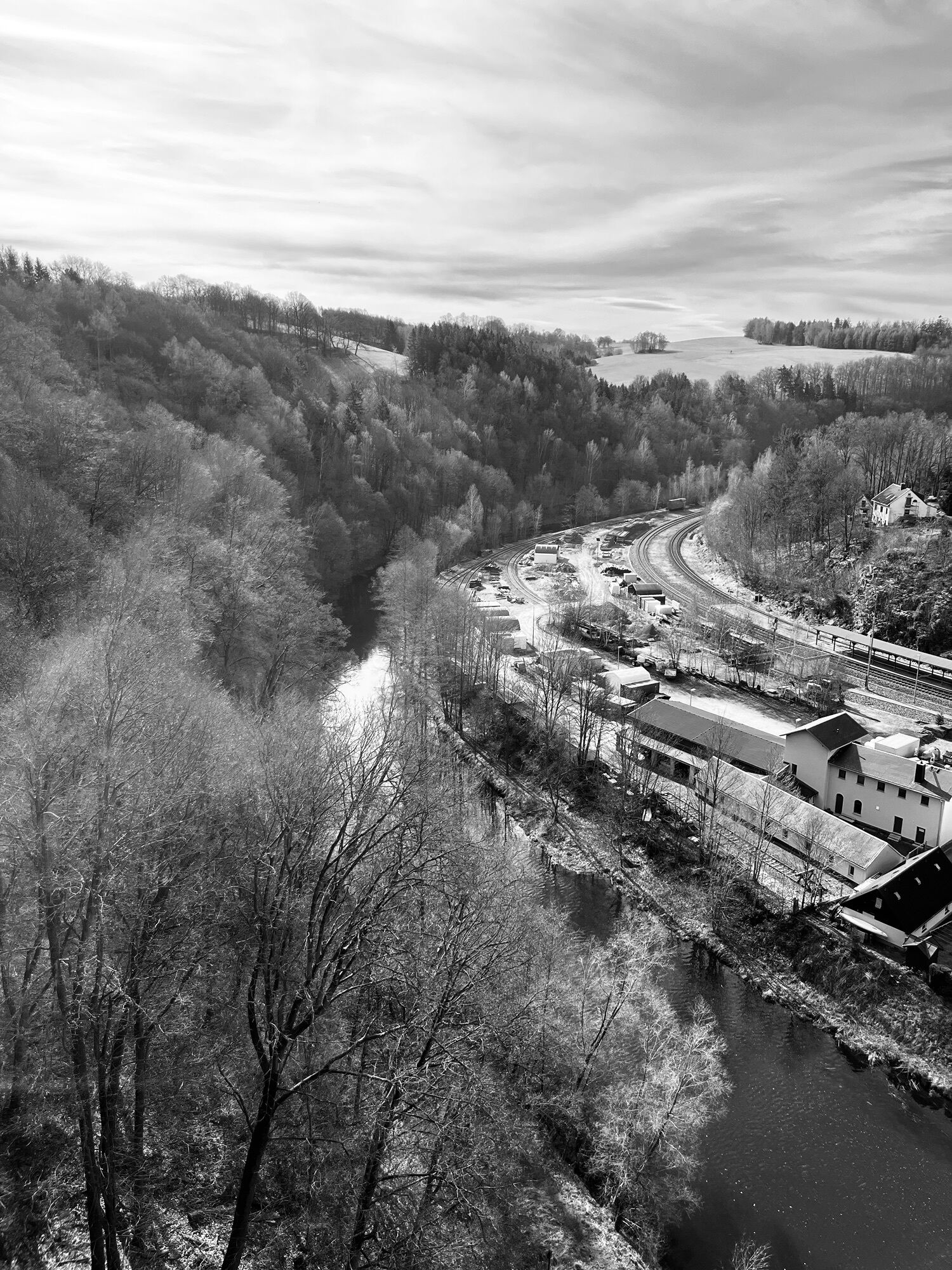
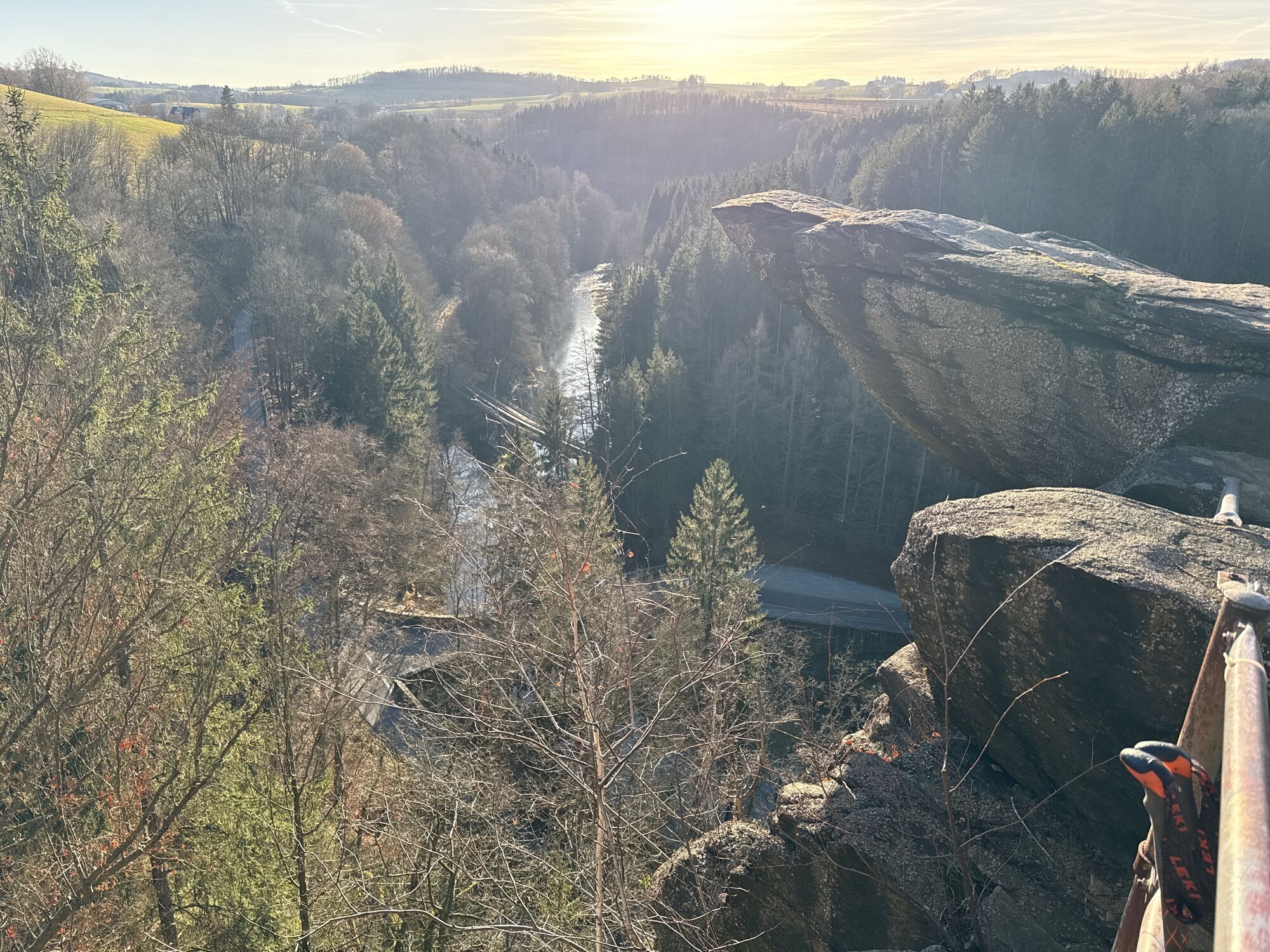
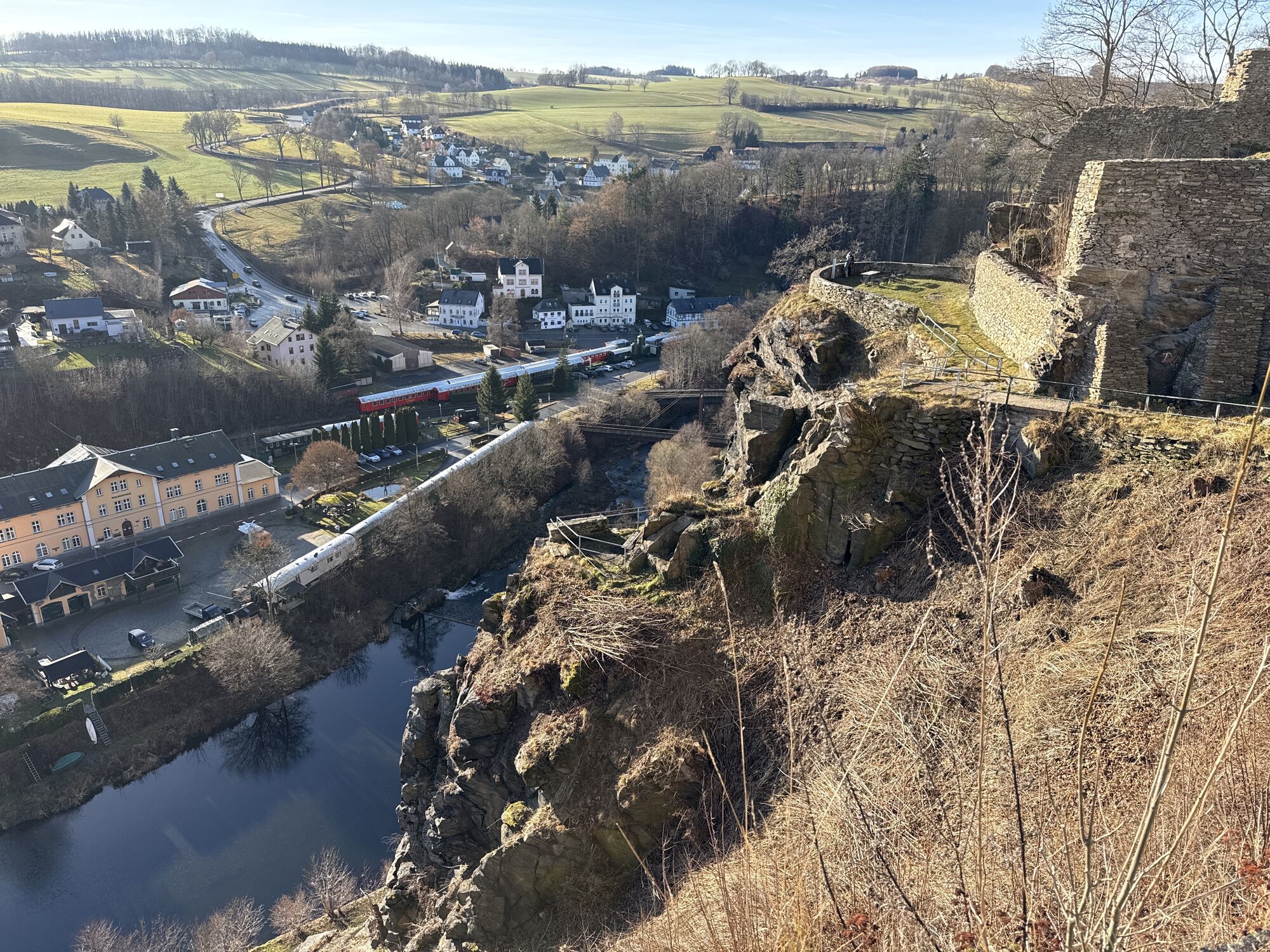
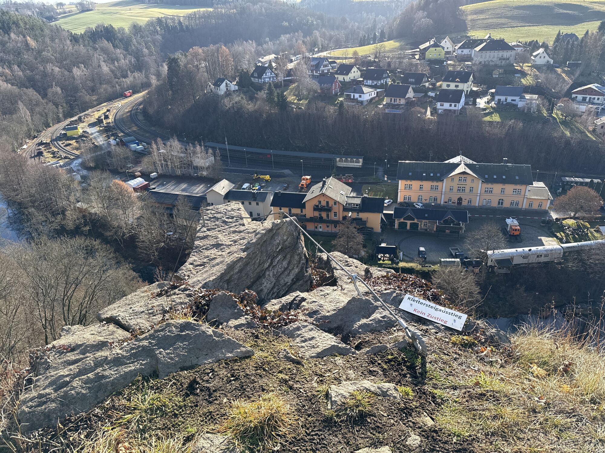
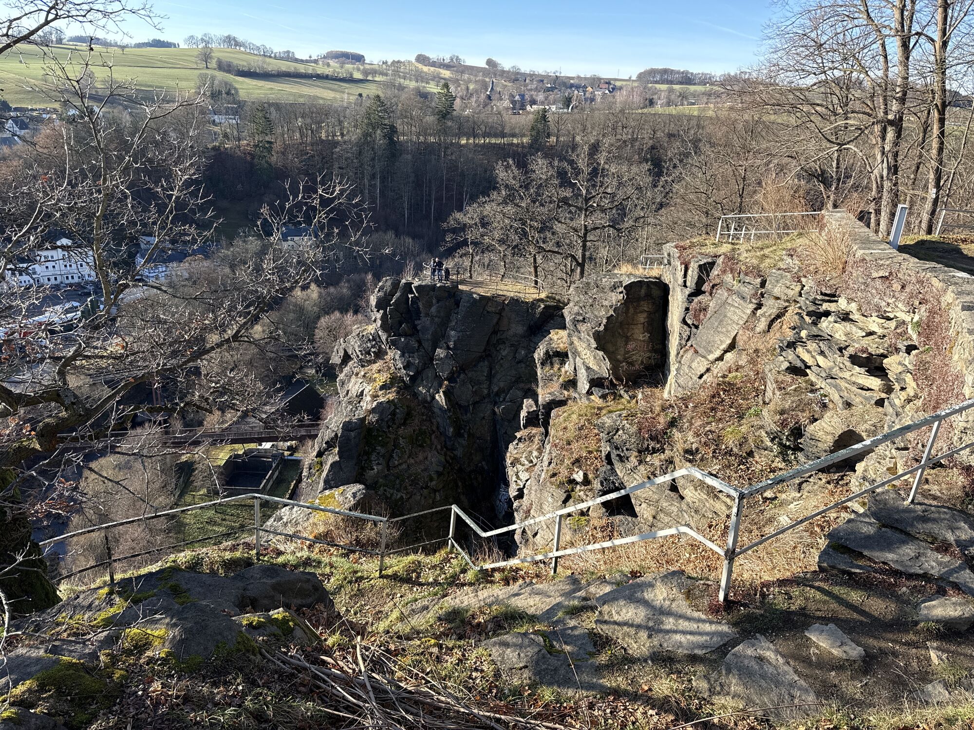
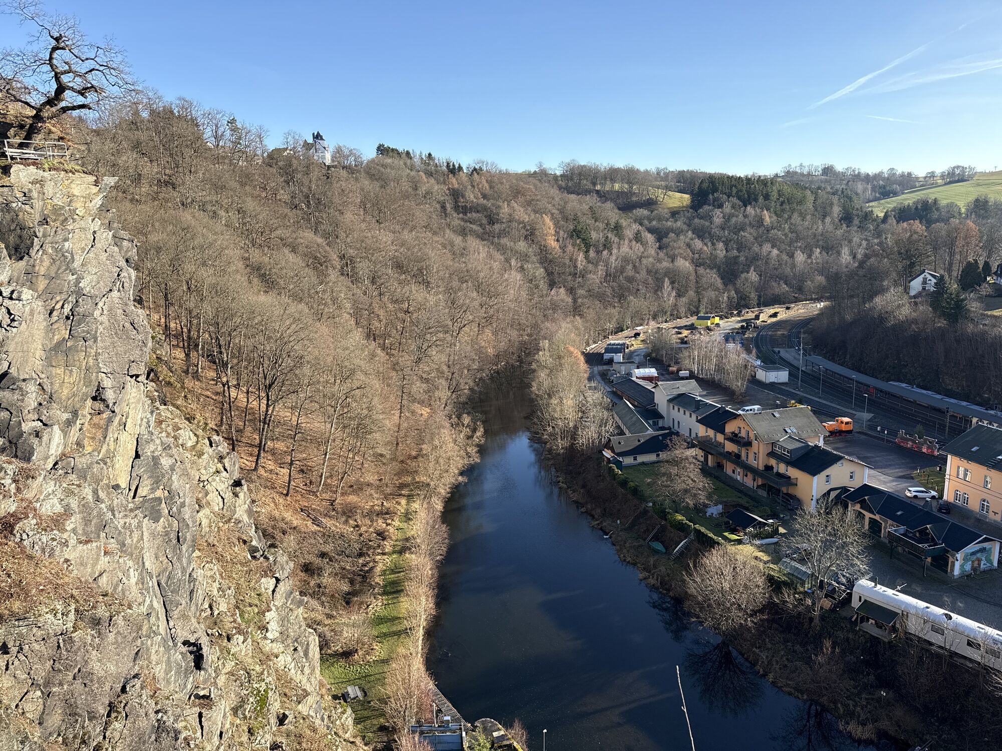


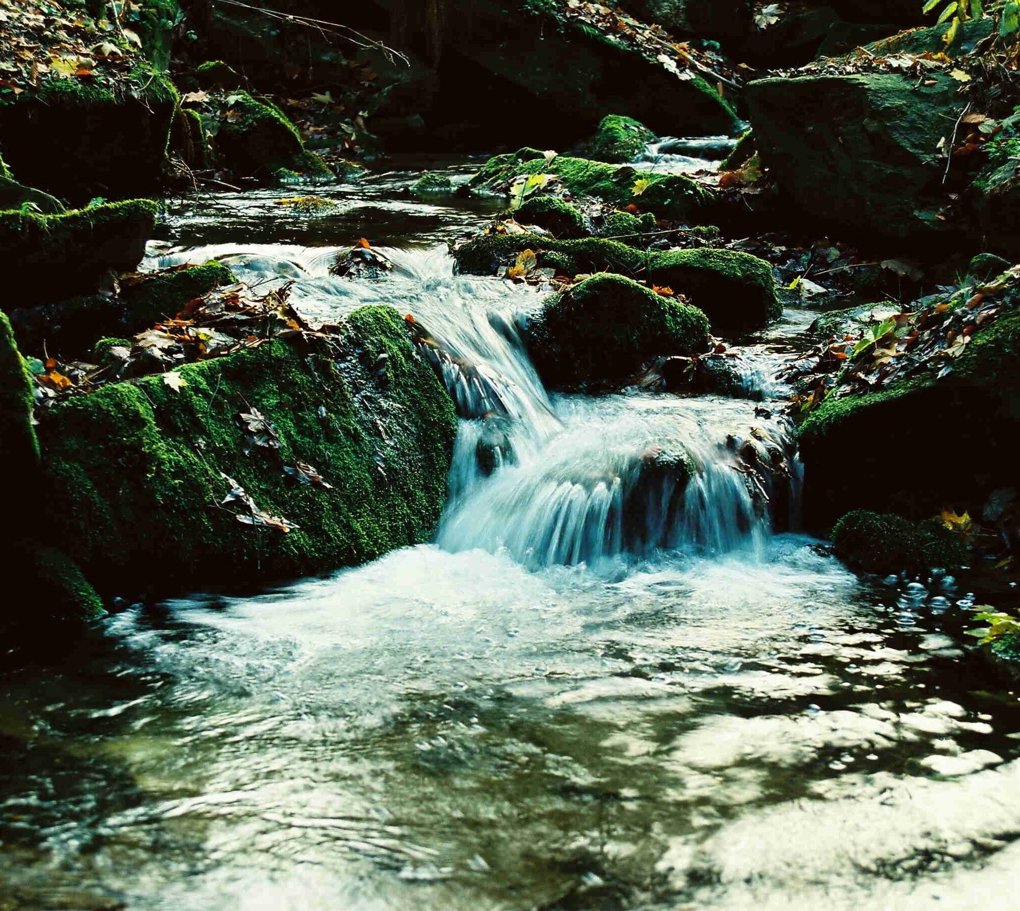
From the market, we walk downhill and cross the Zschopau below the Wolkenstein Switzerland, which is also popular with rock climbers. The Heidelbach, which we follow from its mouth after crossing the B101, has also created a romantic valley. Steep gneiss cliffs and dense beech stands give rise to the name “Holy Halls.” After passing the remains of an old limestone mine, we change sides of the stream. At first, we are still accompanied by spruce forest, but soon a scenic country path leads to the Waldhufendorf Schönbrunn. A detour to the goat rock offers views of the railway line and the small town of Wolkenstein, which we approach after crossing the river valley.
Bus, train
Parking lot center
- Historic town center Wolkenstein with castle, city gate, market, post distance column
- Museums on regional history
- AmbrossGut Schönbrunn (opposite the church in the upper village)
Places to eat:
- Town center Wolkenstein
- B 101 near train station Zughotel
Popularne wycieczki w okolicy
-
4,8
Katzenstein - Schwarzwassertal - Katzenstein
średniWędrówka 15,5 km -
5,0
Rocky idyll and ridge view (Wolkenstein)
średniWędrówka 15,2 km -
5,0
Alpine hiking trail - town of Wolkenstein/Warmbad (Boundless. Wild romantic nature experiences)
średniWędrówka 10,1 km -
Ehrenfriedersdorf-Waldgeisterweg-Greifensteine
światłoWędrówka 7,33 km -
4,5
TK 9 - Wiesaer Höhenweg
średniWędrówka 9,46 km -
3,5
Historical circular hiking trail - Witzschdorf
średniWędrówka 7,38 km -
4,0
Via Mala
światłoWędrówka 5,36 km -
5,0
Greifensteine und Binge von Geyer
średniWędrówka 15,7 km -
5,0
Wiesenbad spa circular hiking trail
Wędrówka 16,2 km -
4,0
Pockau - discover a paradise
średniWędrówka 14,1 km
Wędrówki i tropienie


Nie przegap ofert i inspiracji na następne wakacje
Twój adres e-mail została dodana do listy mailingowej.