







Bielatal: Through the bizarre rock world with many viewpoints





parking spot/ Haltestelle Bielatal, Brausenstein - Gedächtnishain - Bertablick - Kleine Bastei - Rosengarten - Kaiser-Wilhelm-Feste - Felsengasse Herkulessäulen - Großvaterstuhl - Ottomühle - Dachsensteinbaude...
parking spot/ Haltestelle Bielatal, Brausenstein - Gedächtnishain - Bertablick - Kleine Bastei - Rosengarten - Kaiser-Wilhelm-Feste - Felsengasse Herkulessäulen - Großvaterstuhl - Ottomühle - Dachsensteinbaude - Johanniswacht - Sachsenstein - historischer Hochofen - Parkplatz/ Haltestelle Bielatal, Brausenstein

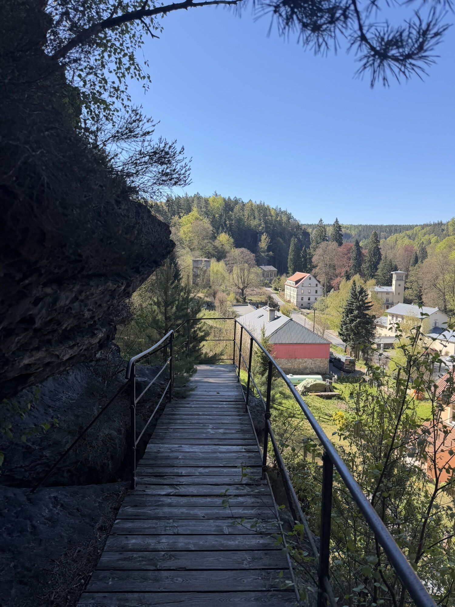
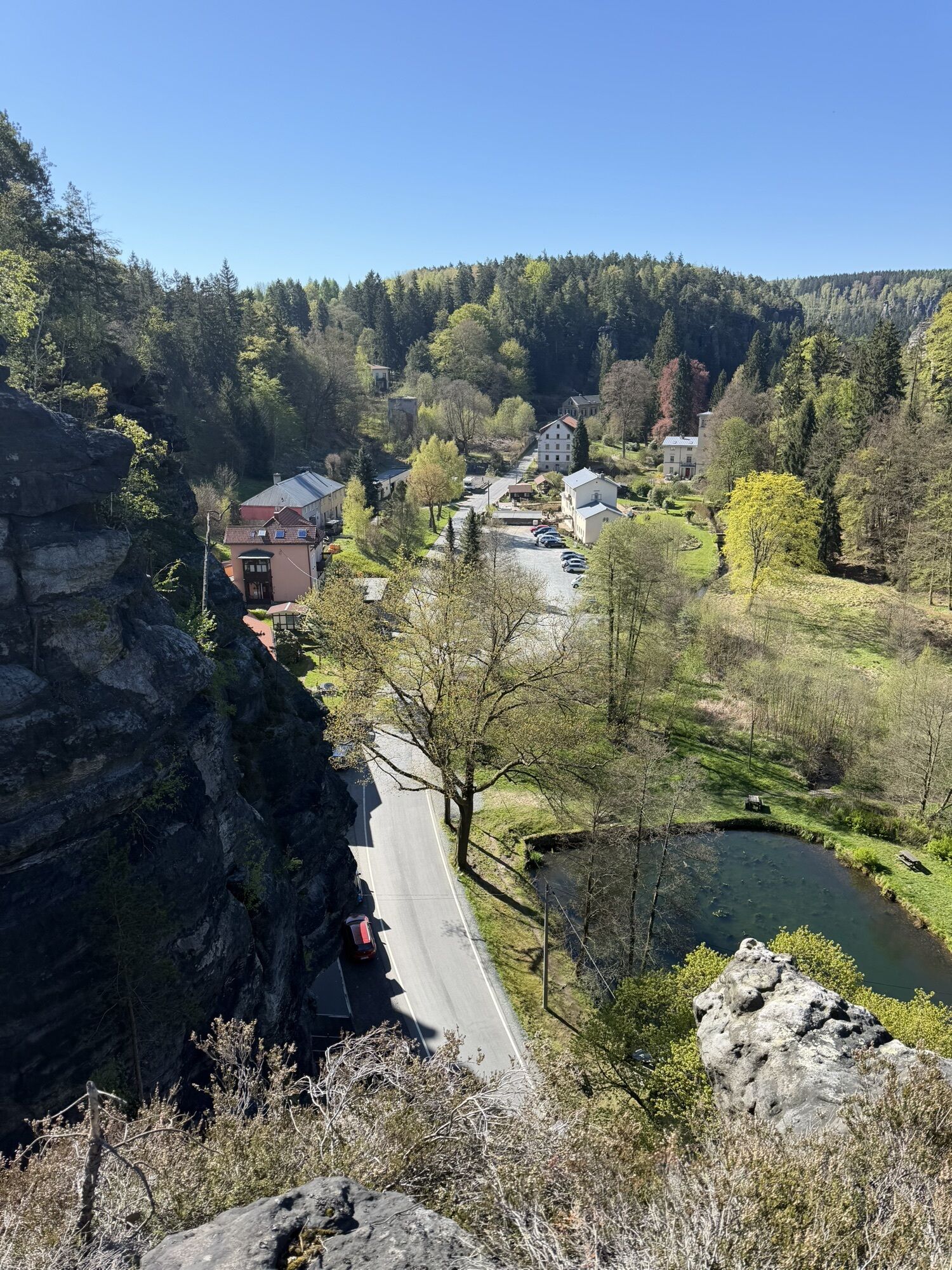
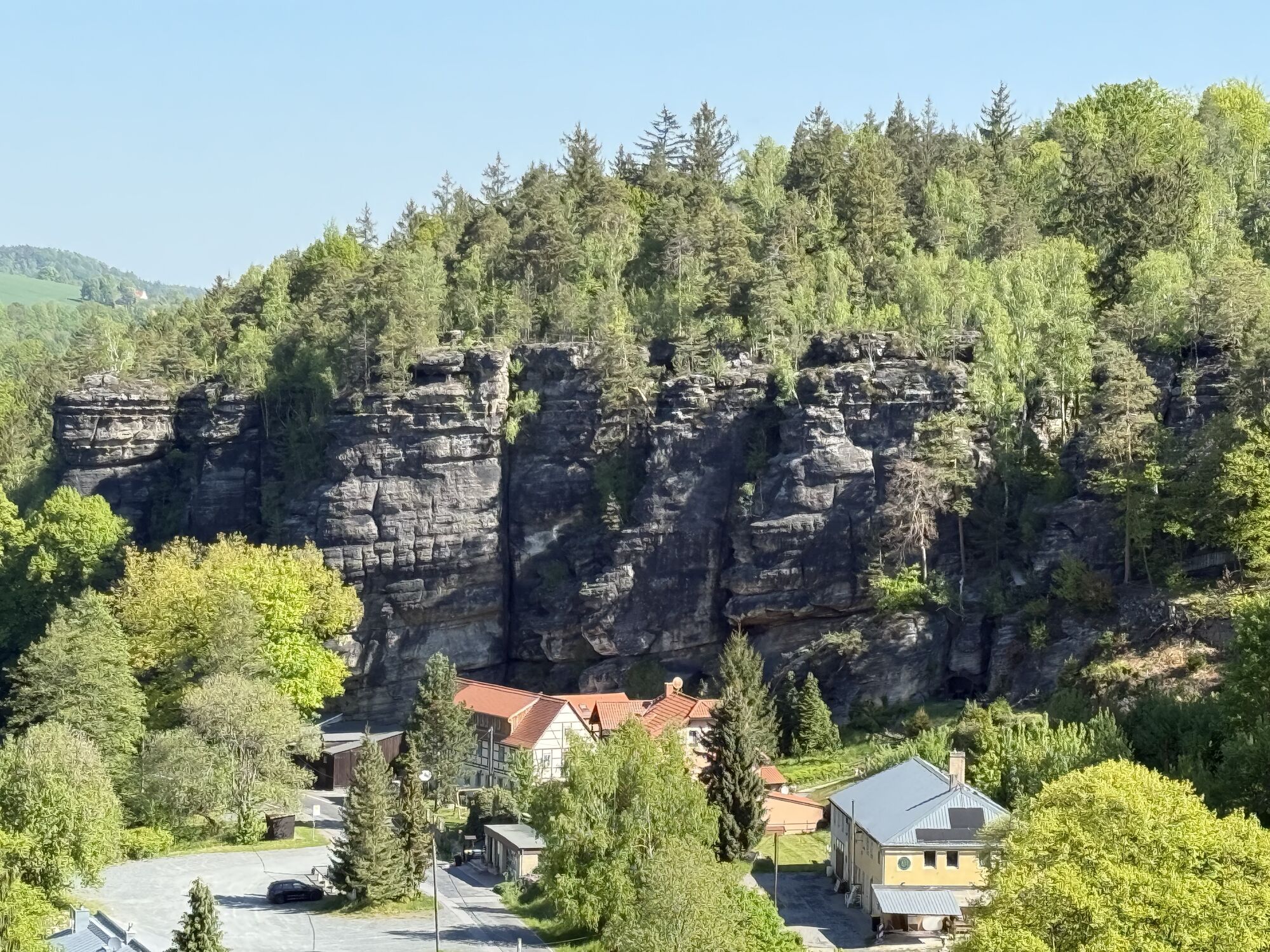
The Schweizermühle district was once an old hammer mill with a mill and blossomed into a cold-water spa in full splendor in the 19th century. In 1912, the Maggi corporation acquired the bankrupt institution and used the site as a vacation home for its employees. It served as a tuberculosis sanatorium until 1962 and then as a retirement home. Since the political turnaround, the ravages of time have been gnawing away at the once magnificent and now vacant buildings.
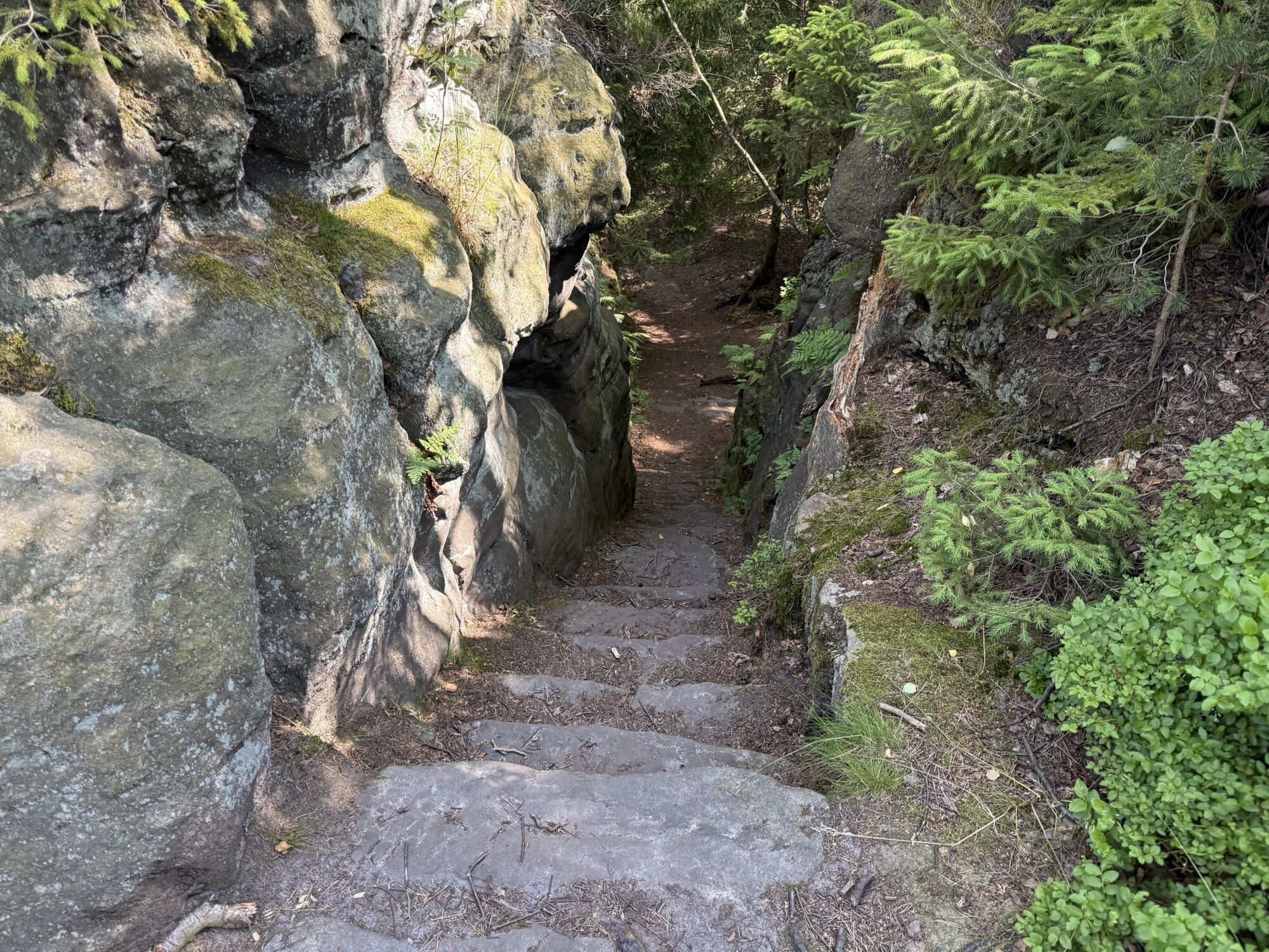
It is highly recommended to make a detour to the mystical memorial grove, which branches off directly after the Kleine Basteiaussicht. Continue down through the rose garden. If you want, you can also take in the view on the Wetterfahnenfels beforehand, but it is somewhat overgrown. From the rose garden, follow the path straight uphill and onto the road. Turn left onto the road and walk downhill for a while, then follow the signs to the left over a bridge and stairs and dive back into the rocky world.
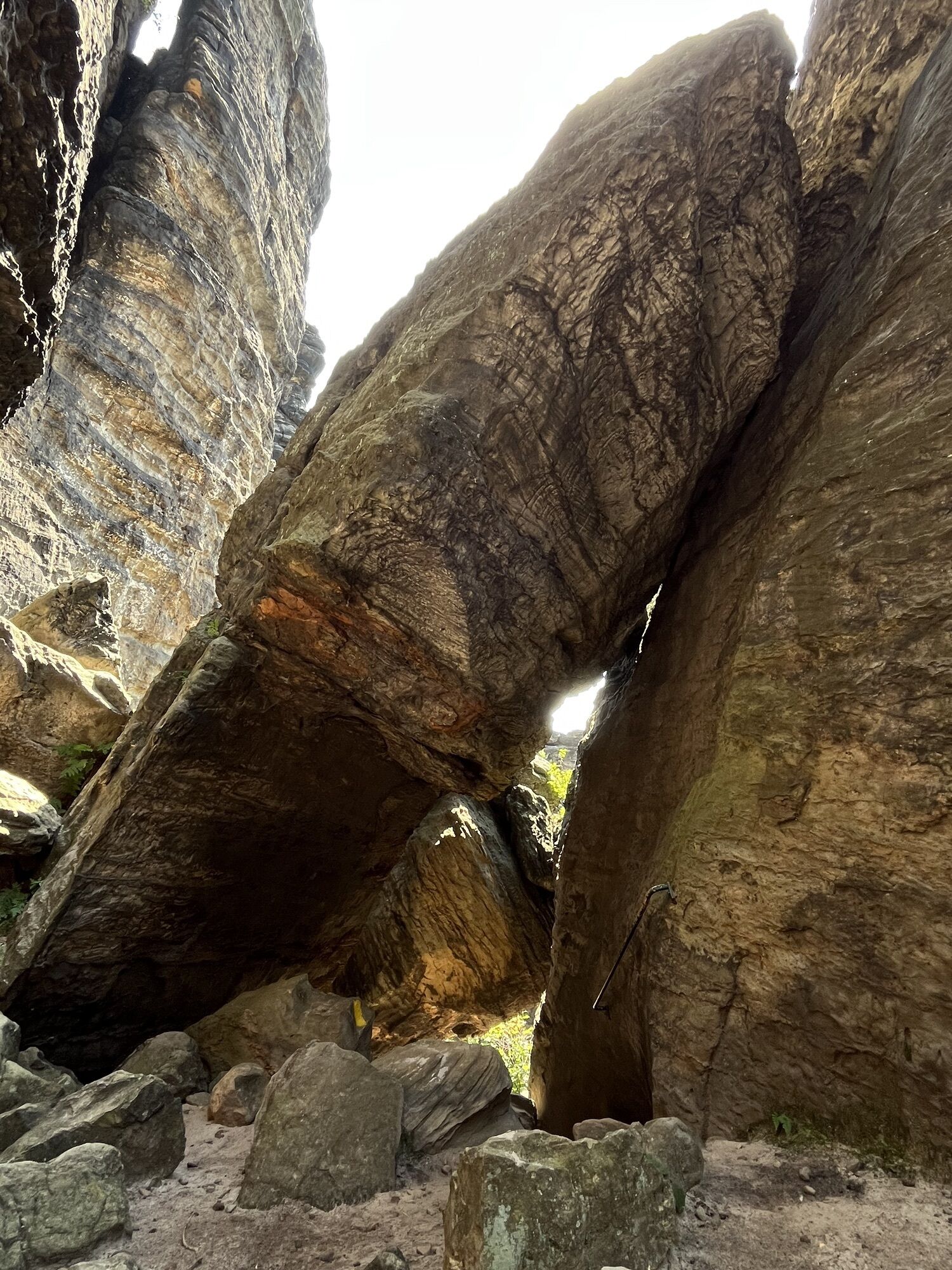
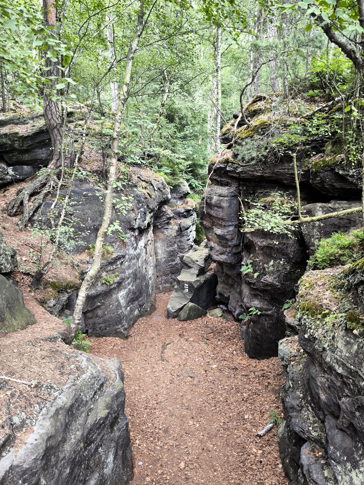
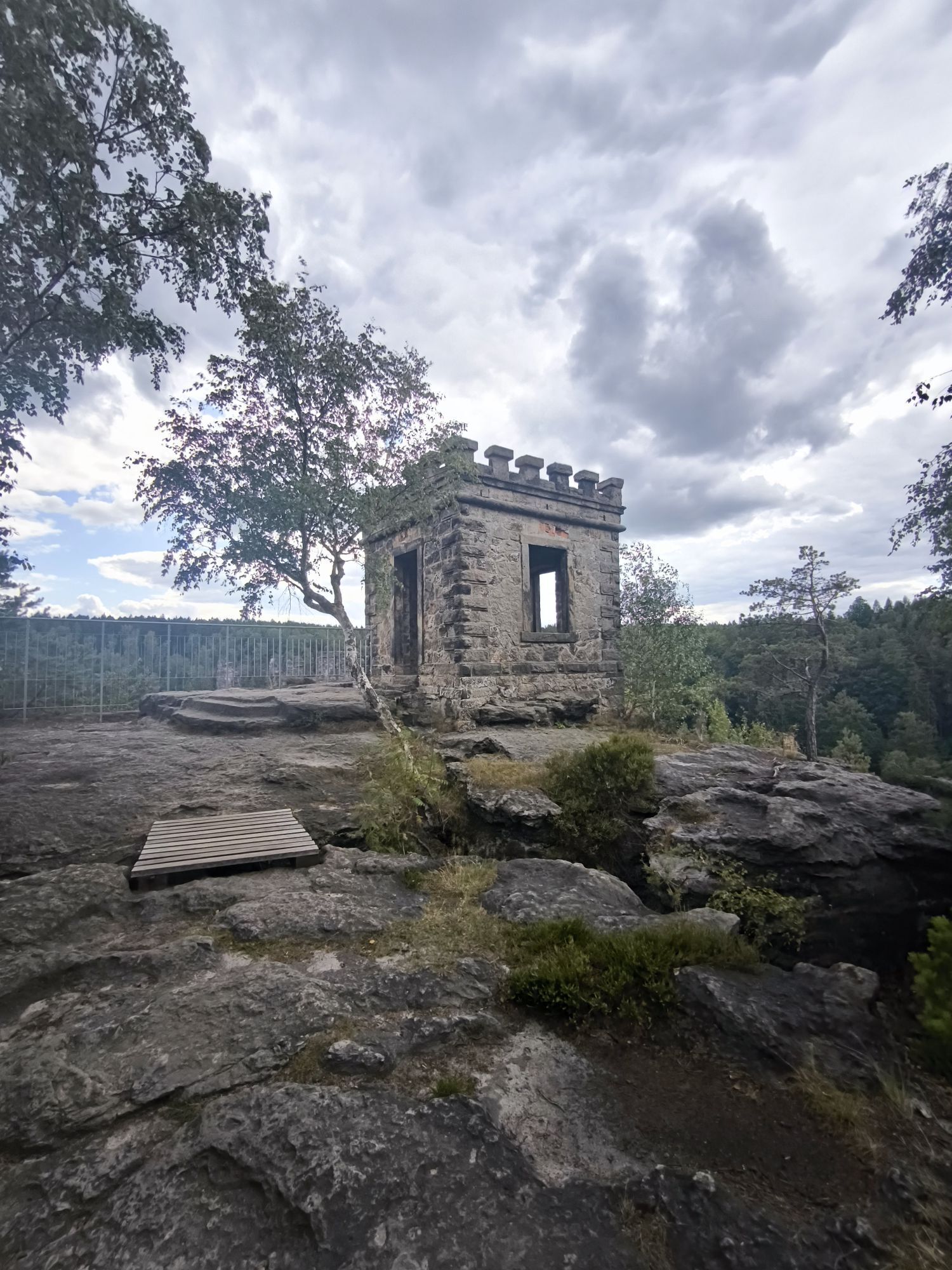
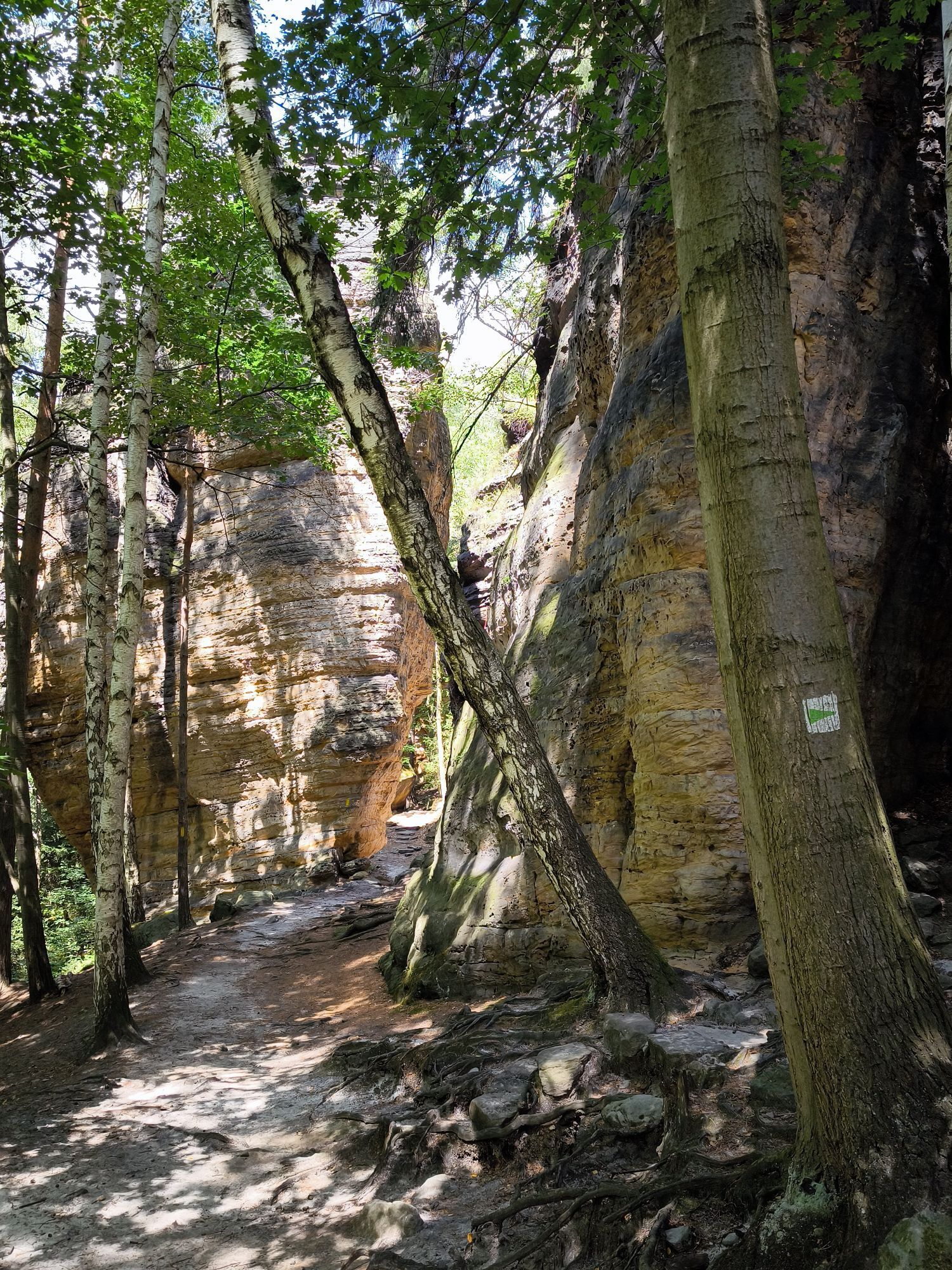
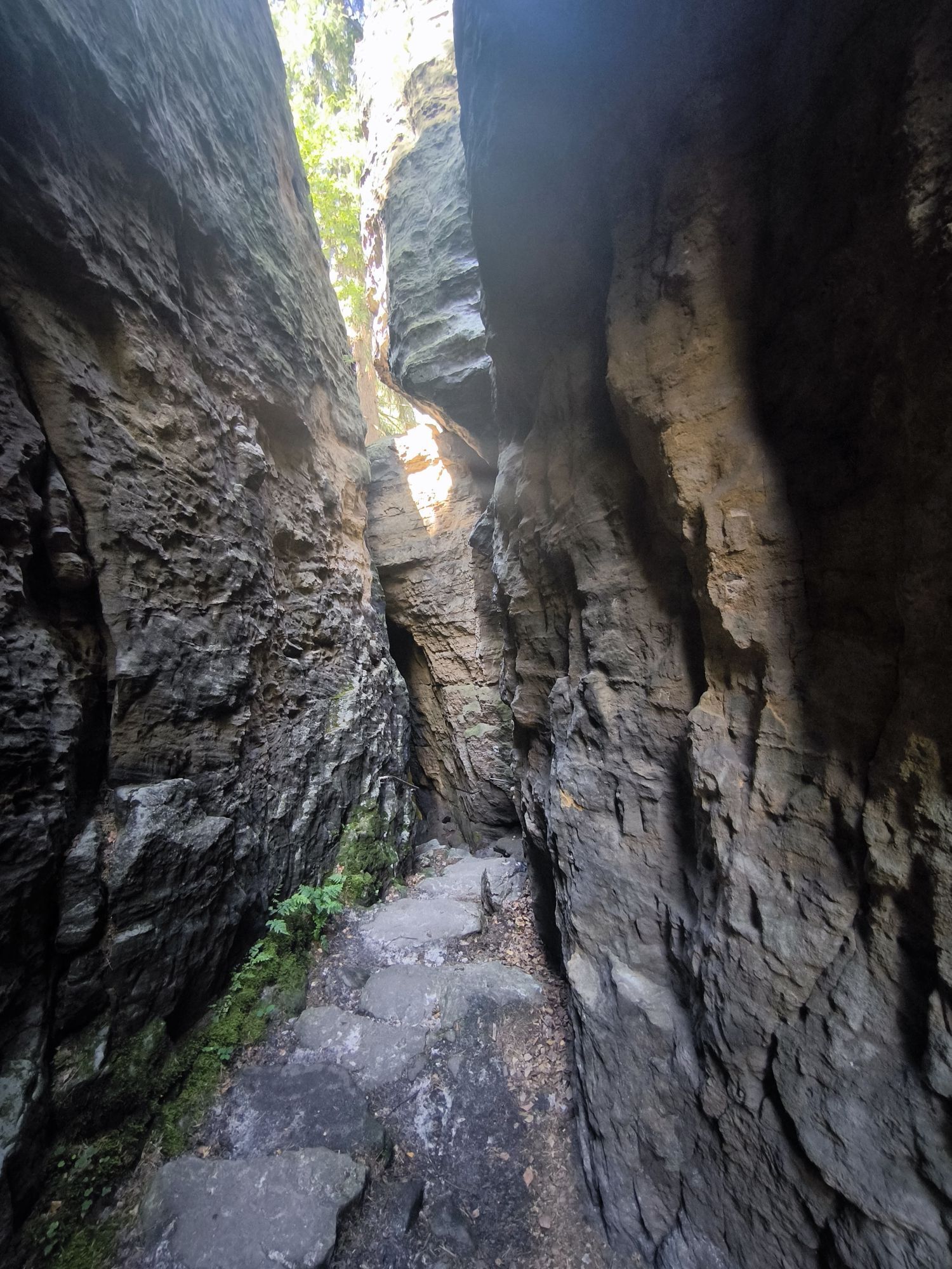
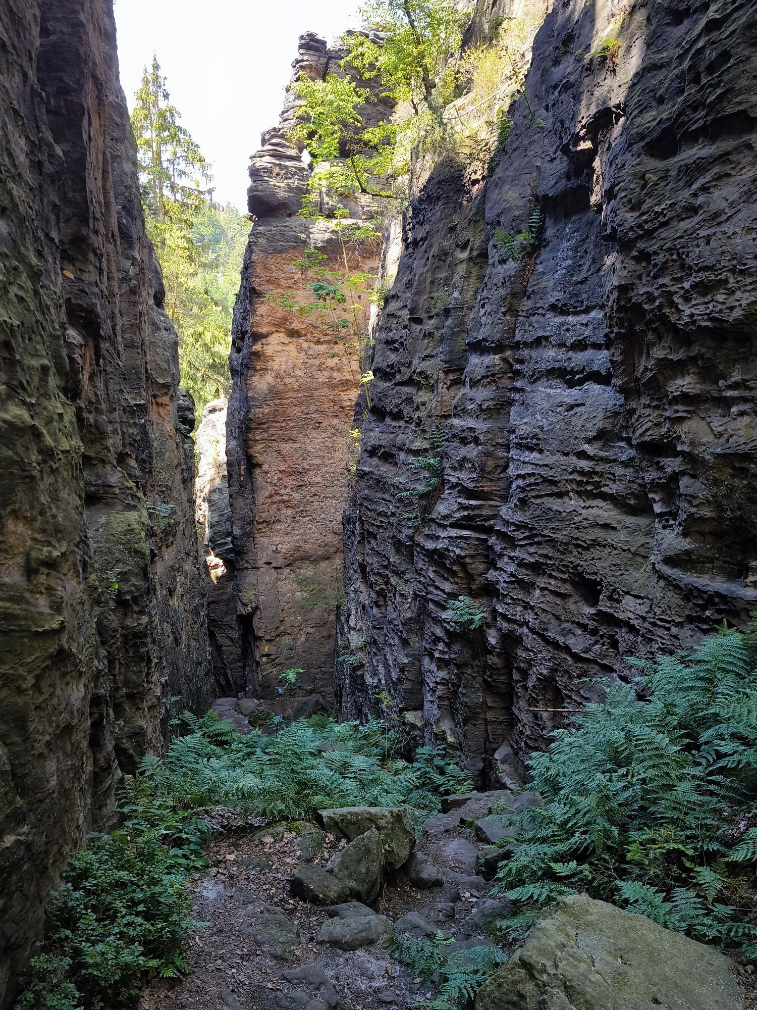
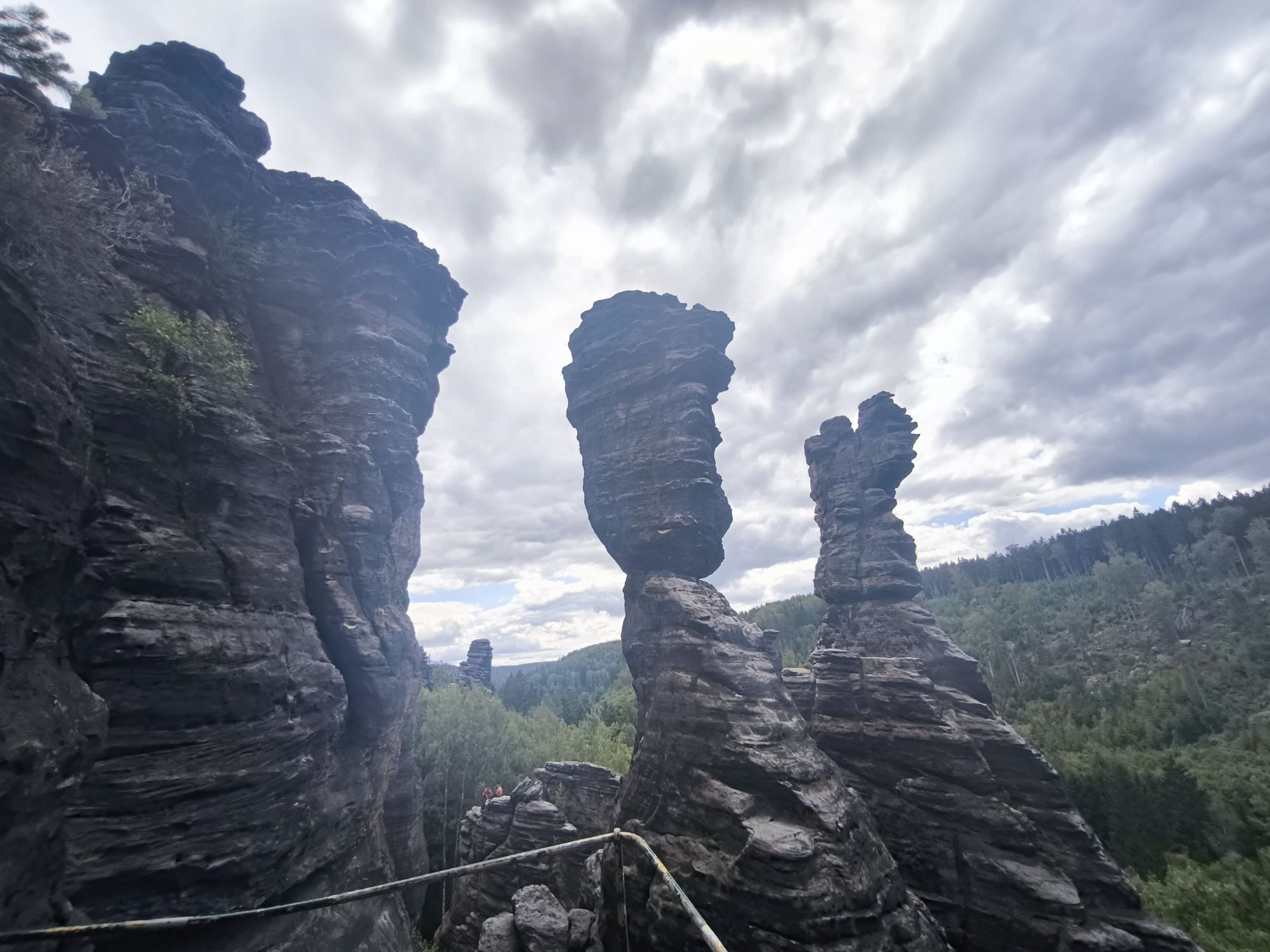
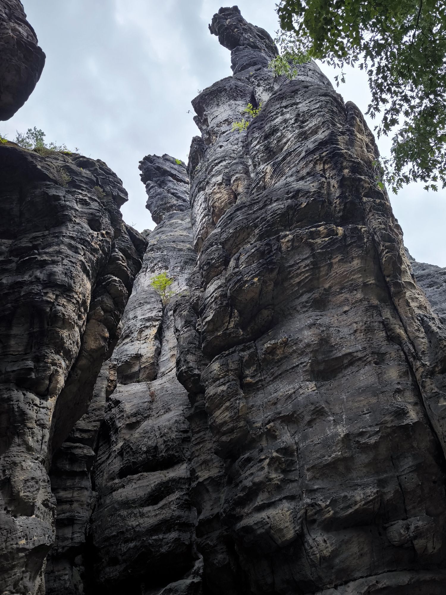
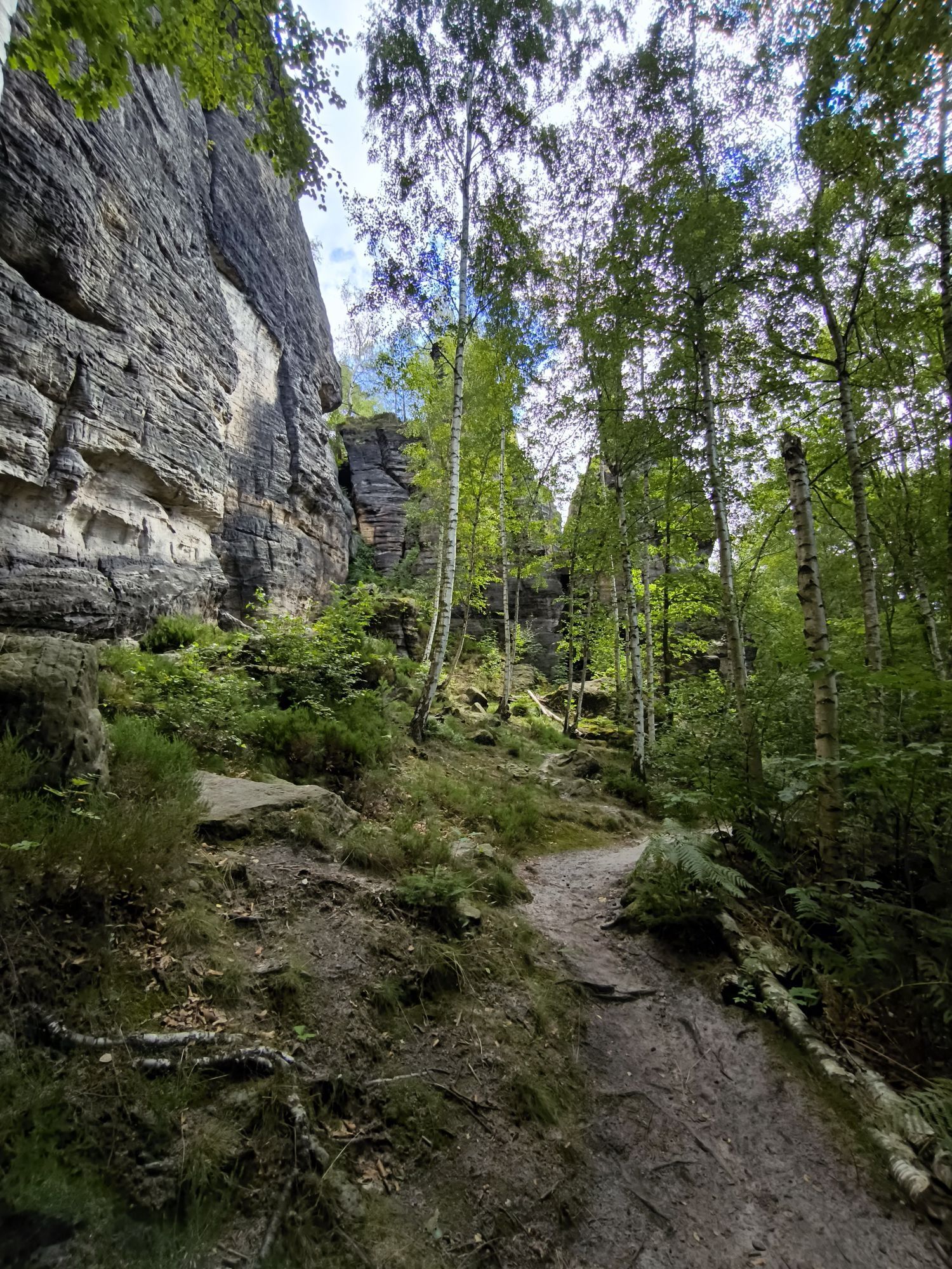
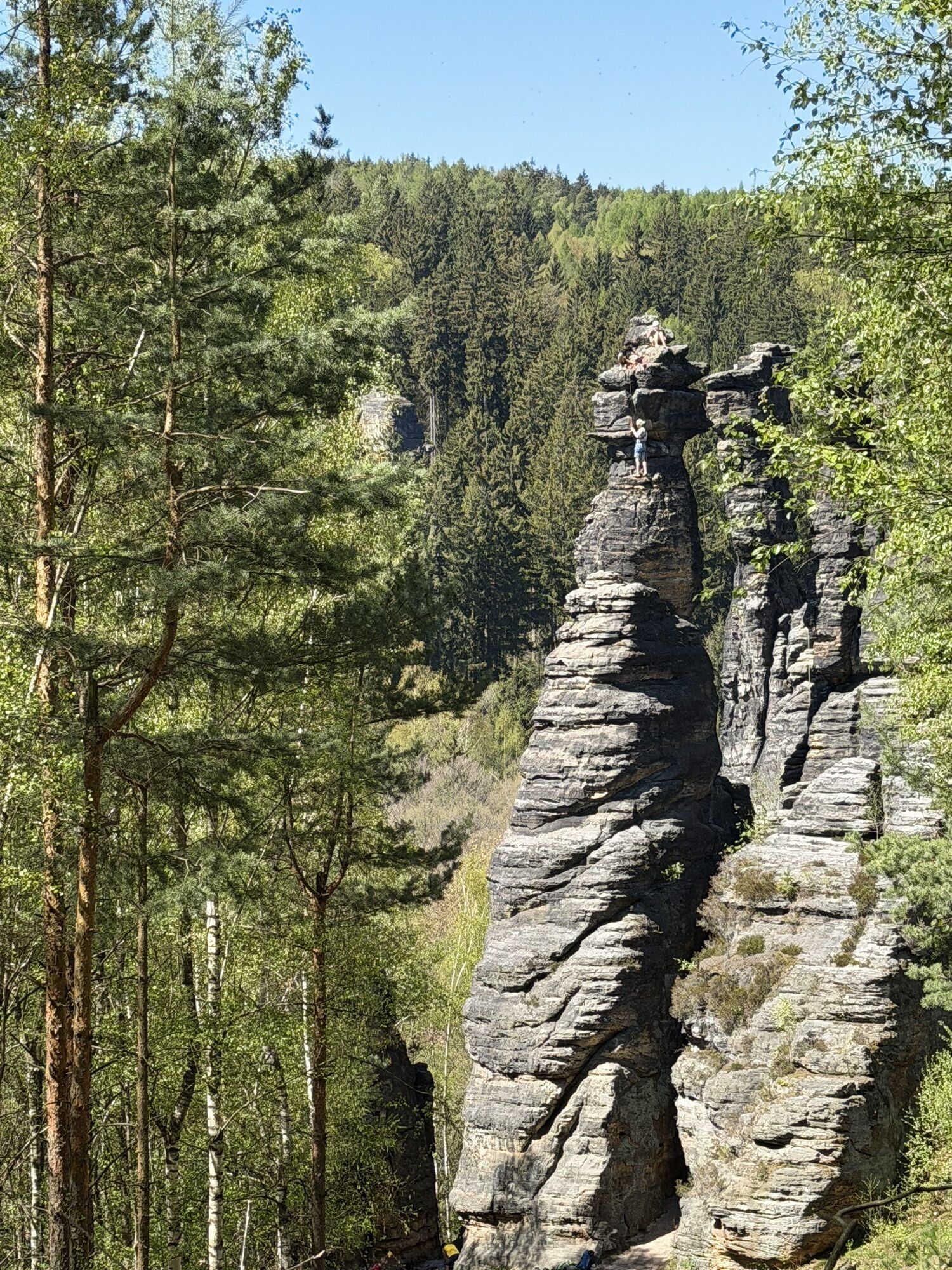
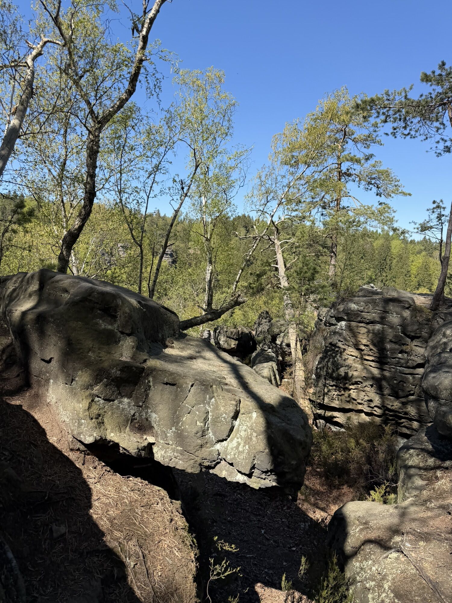
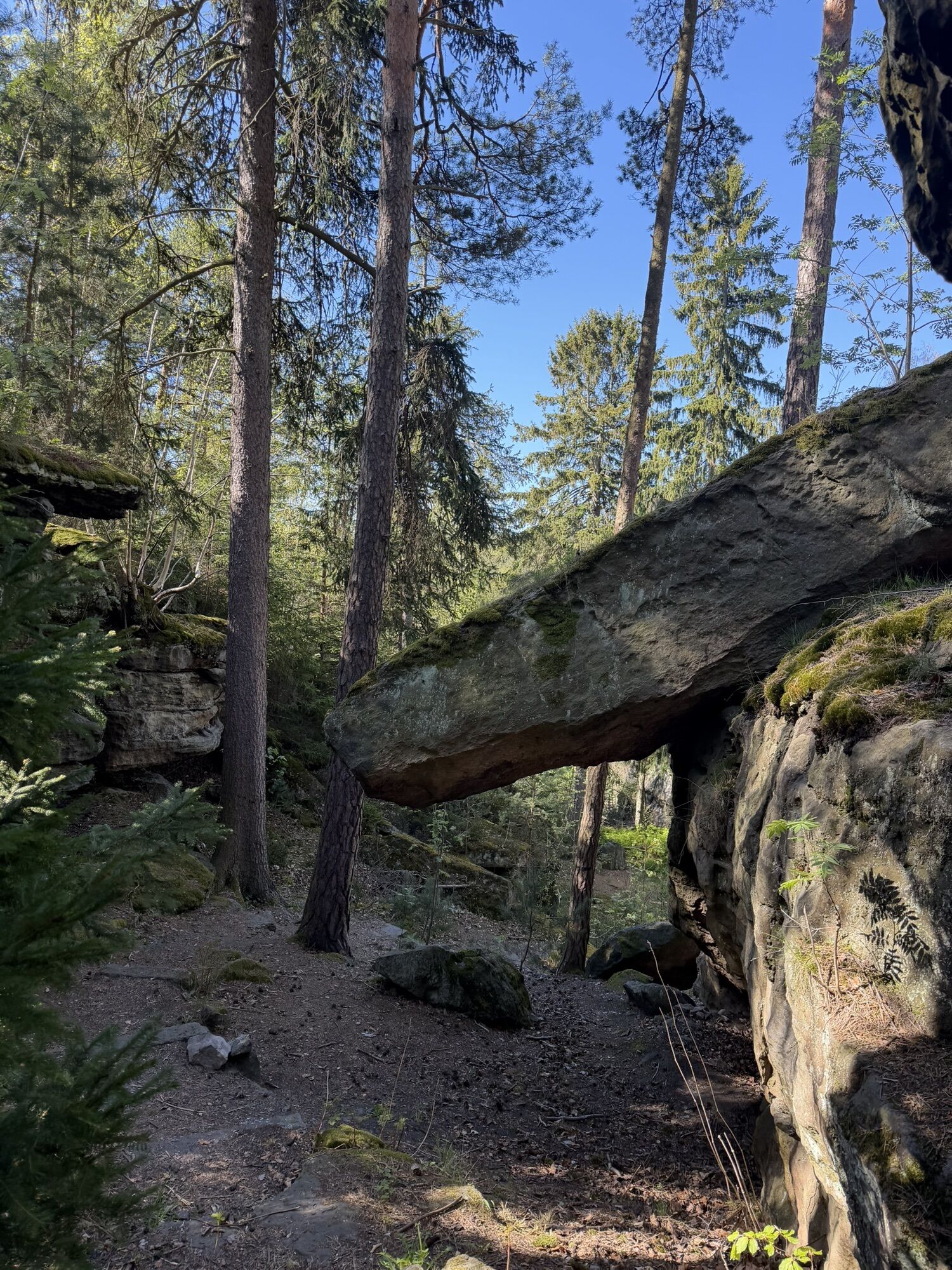
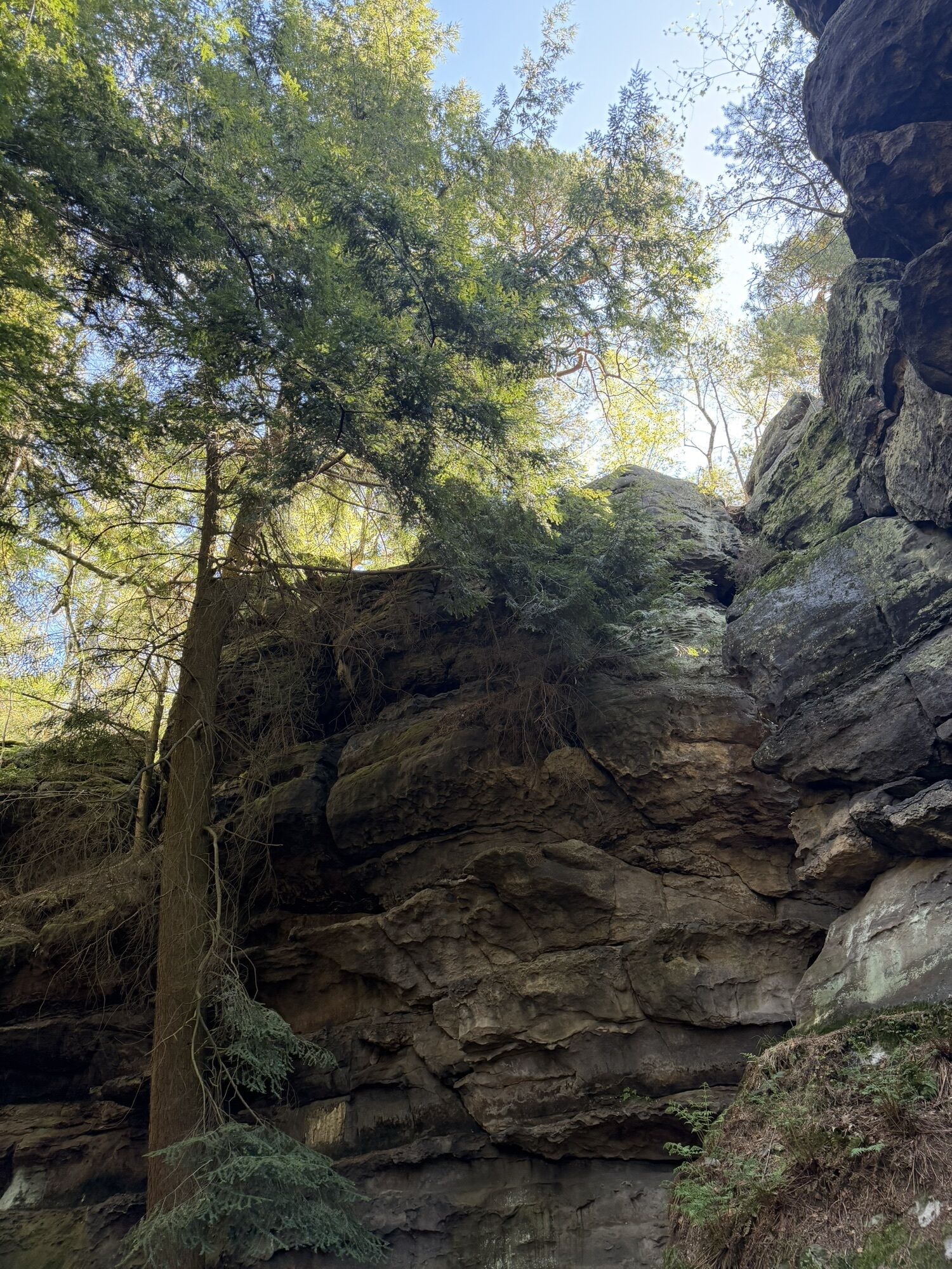
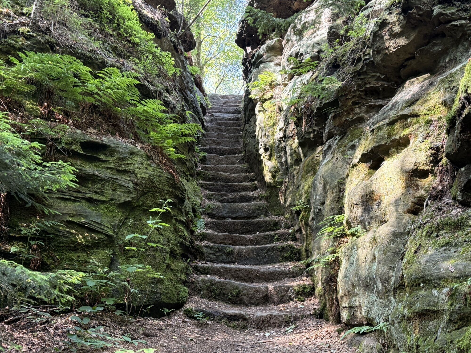
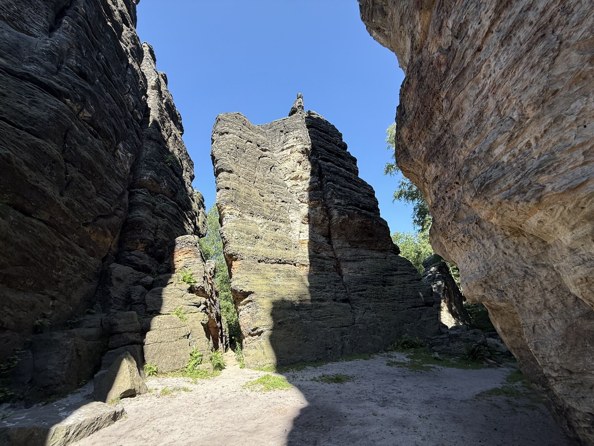
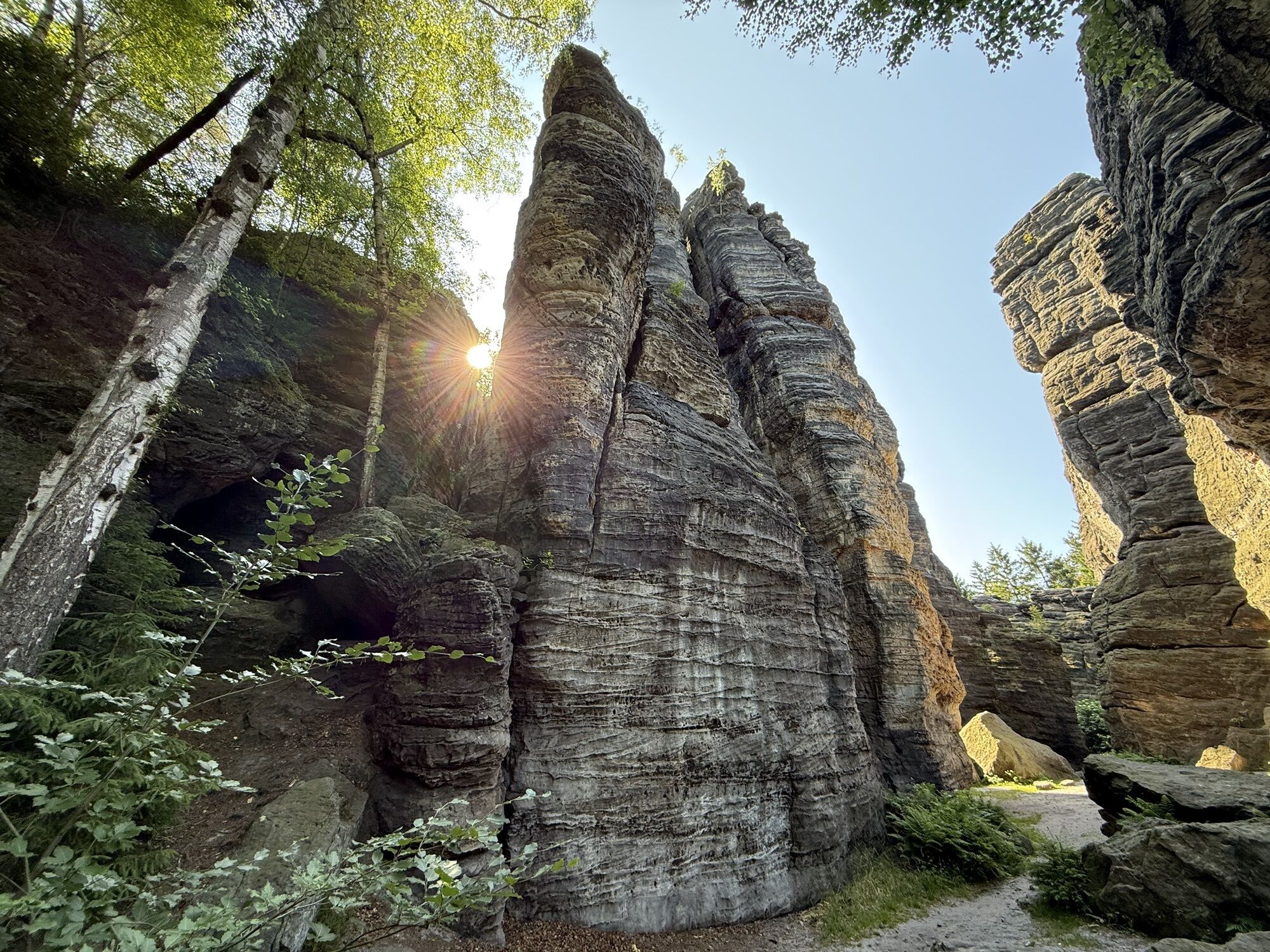
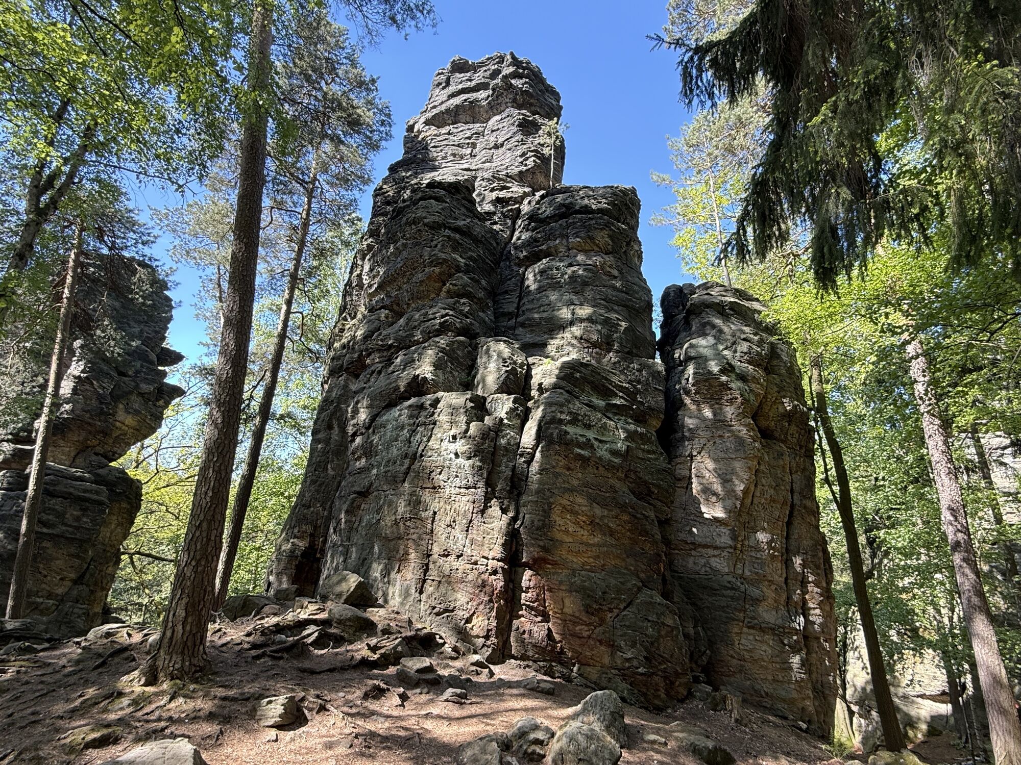
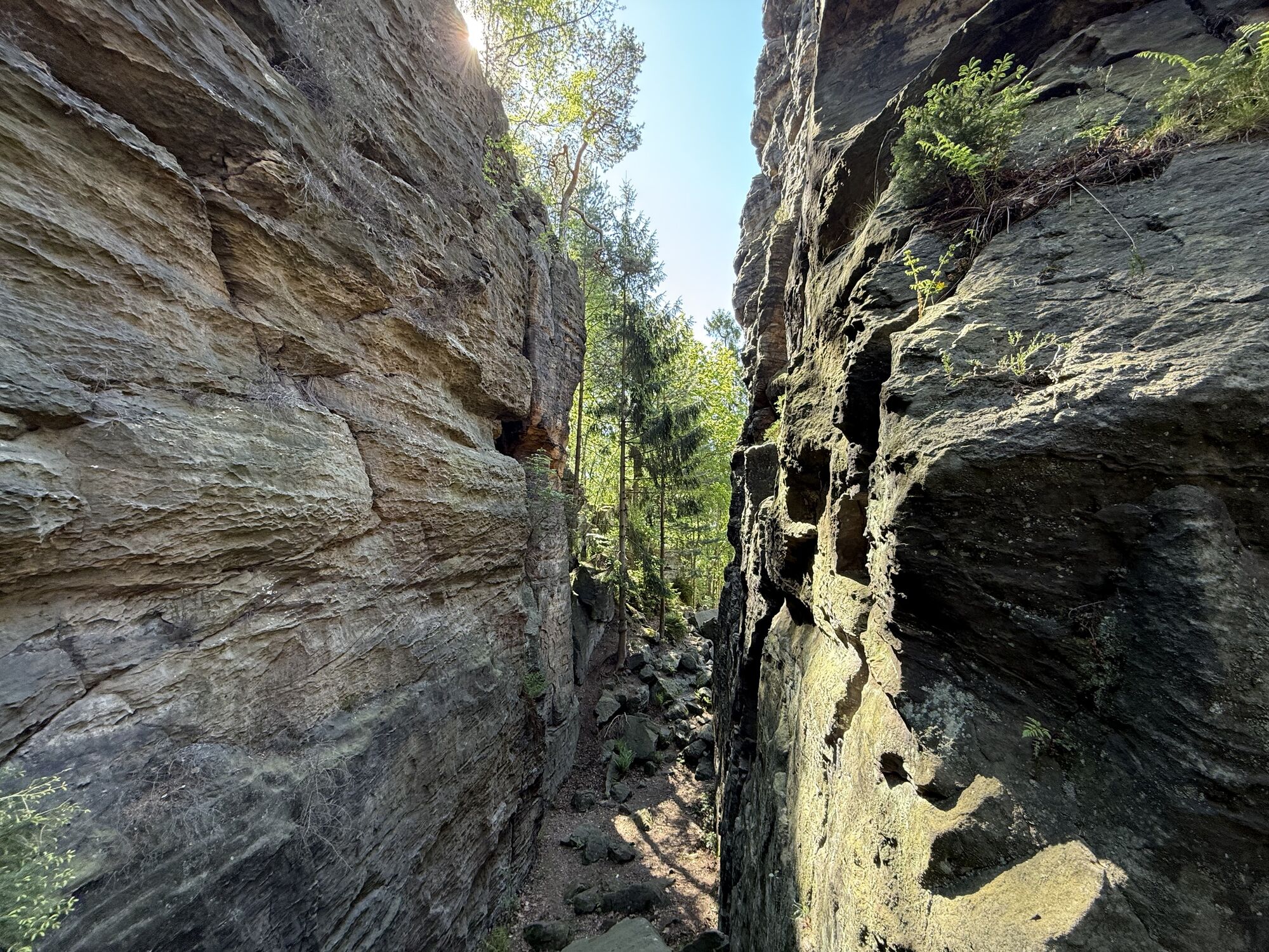
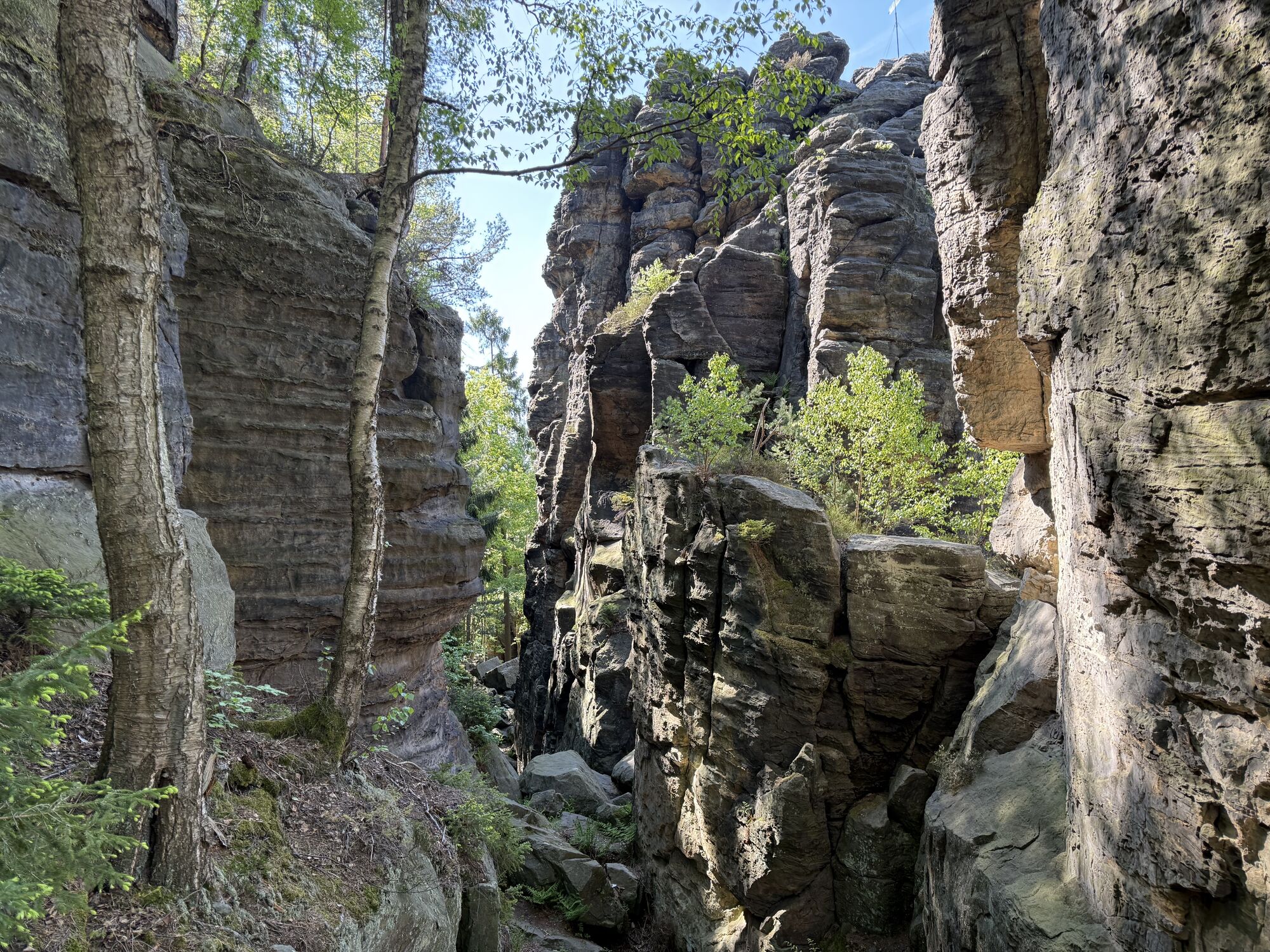
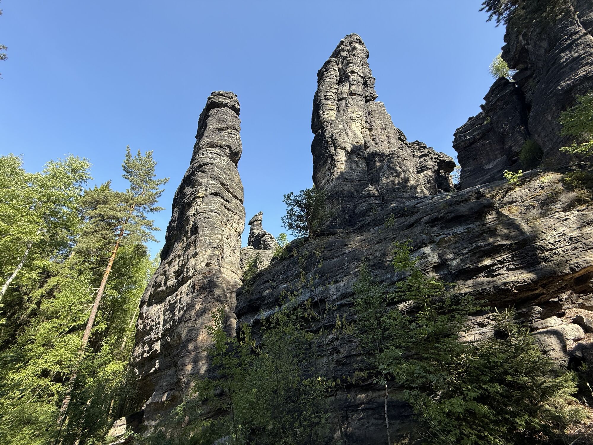
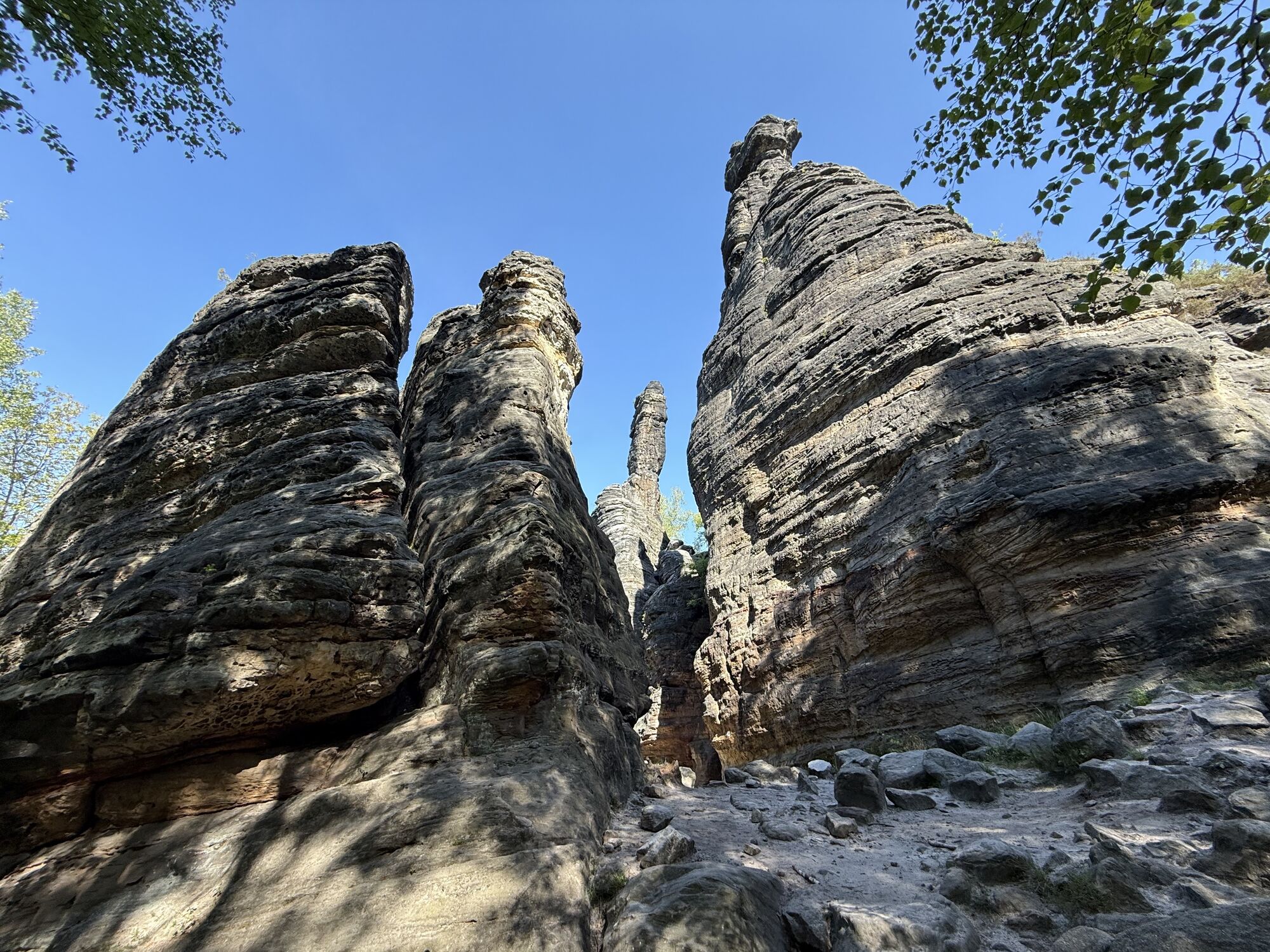
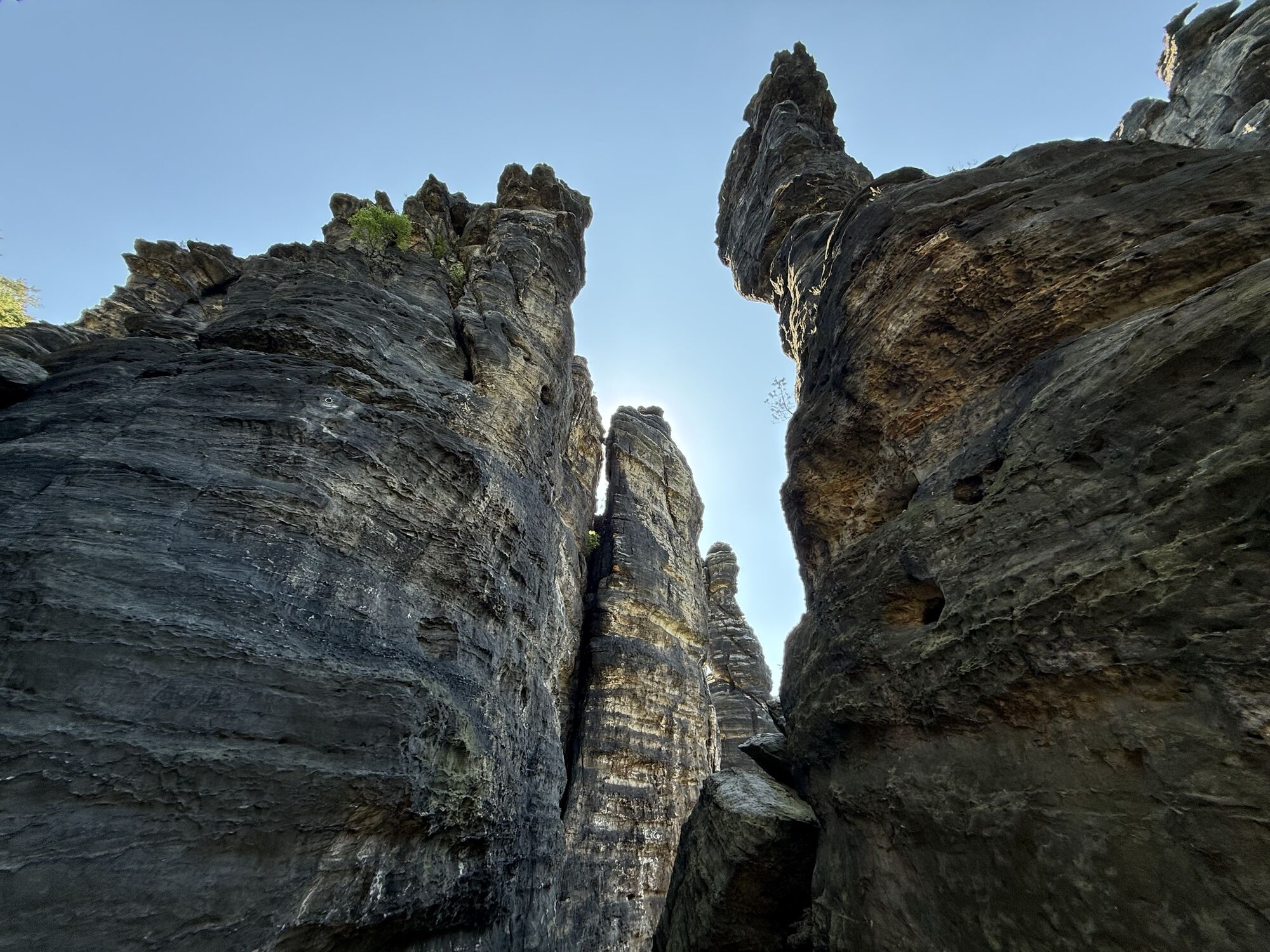
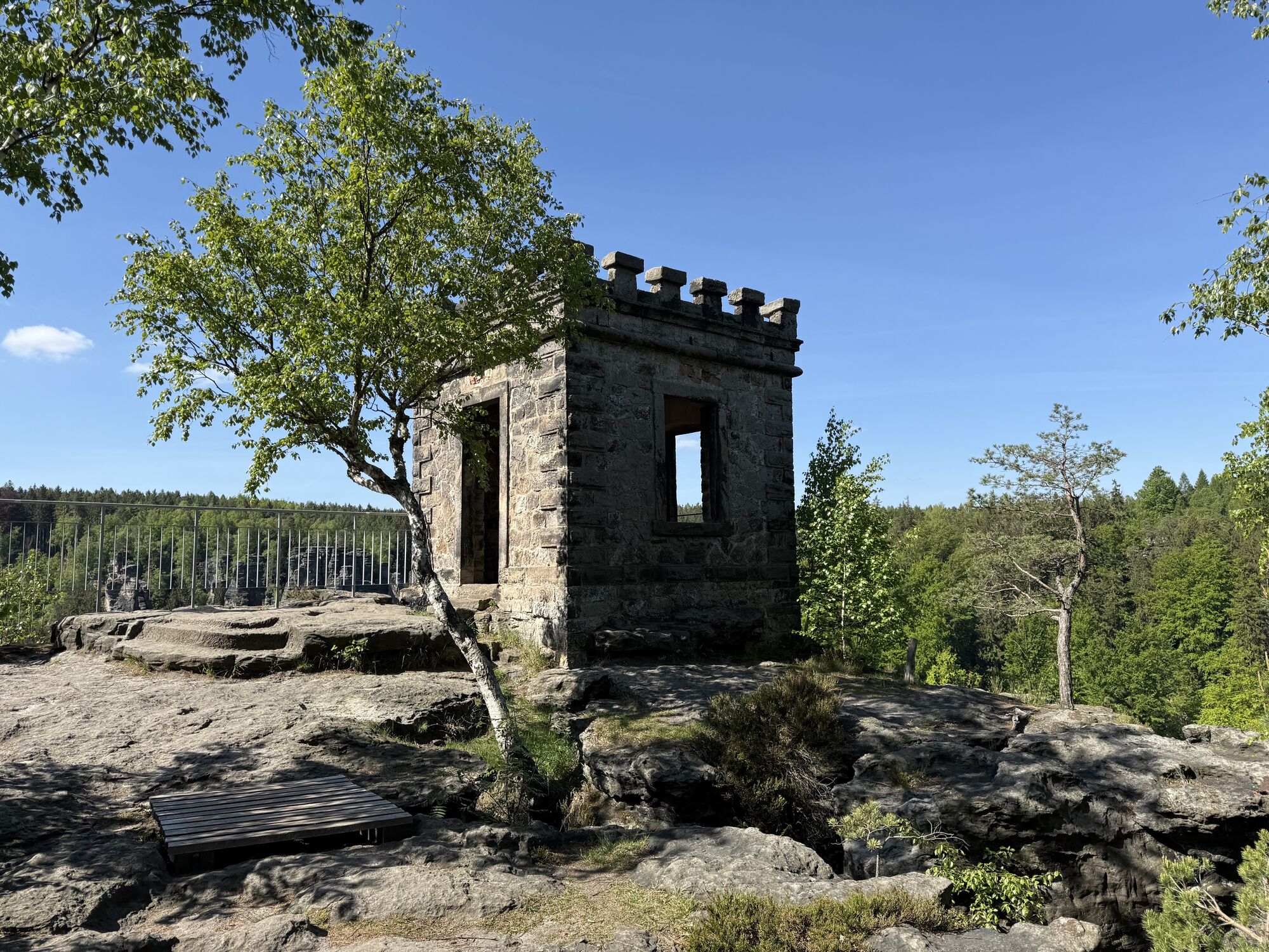
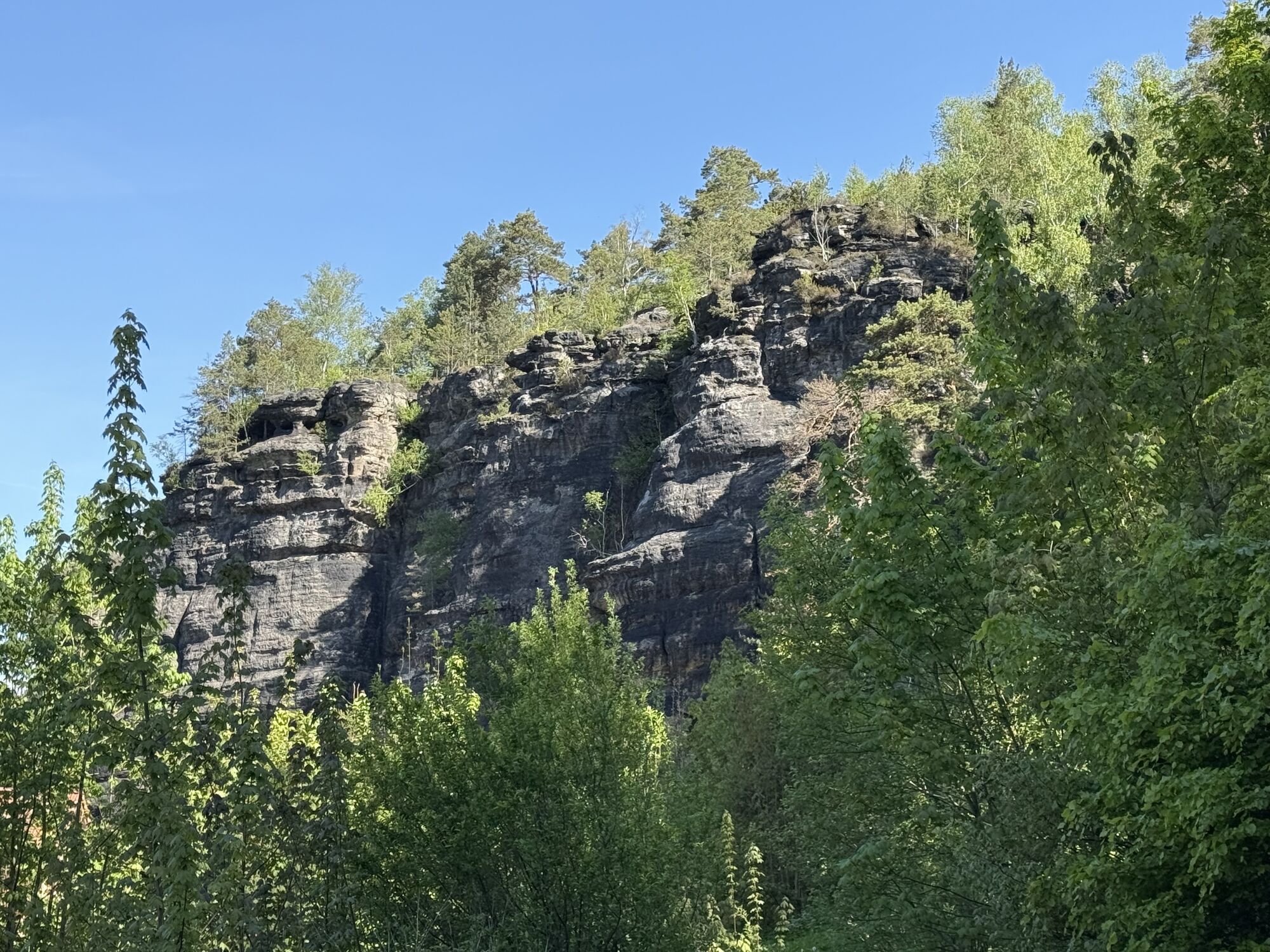
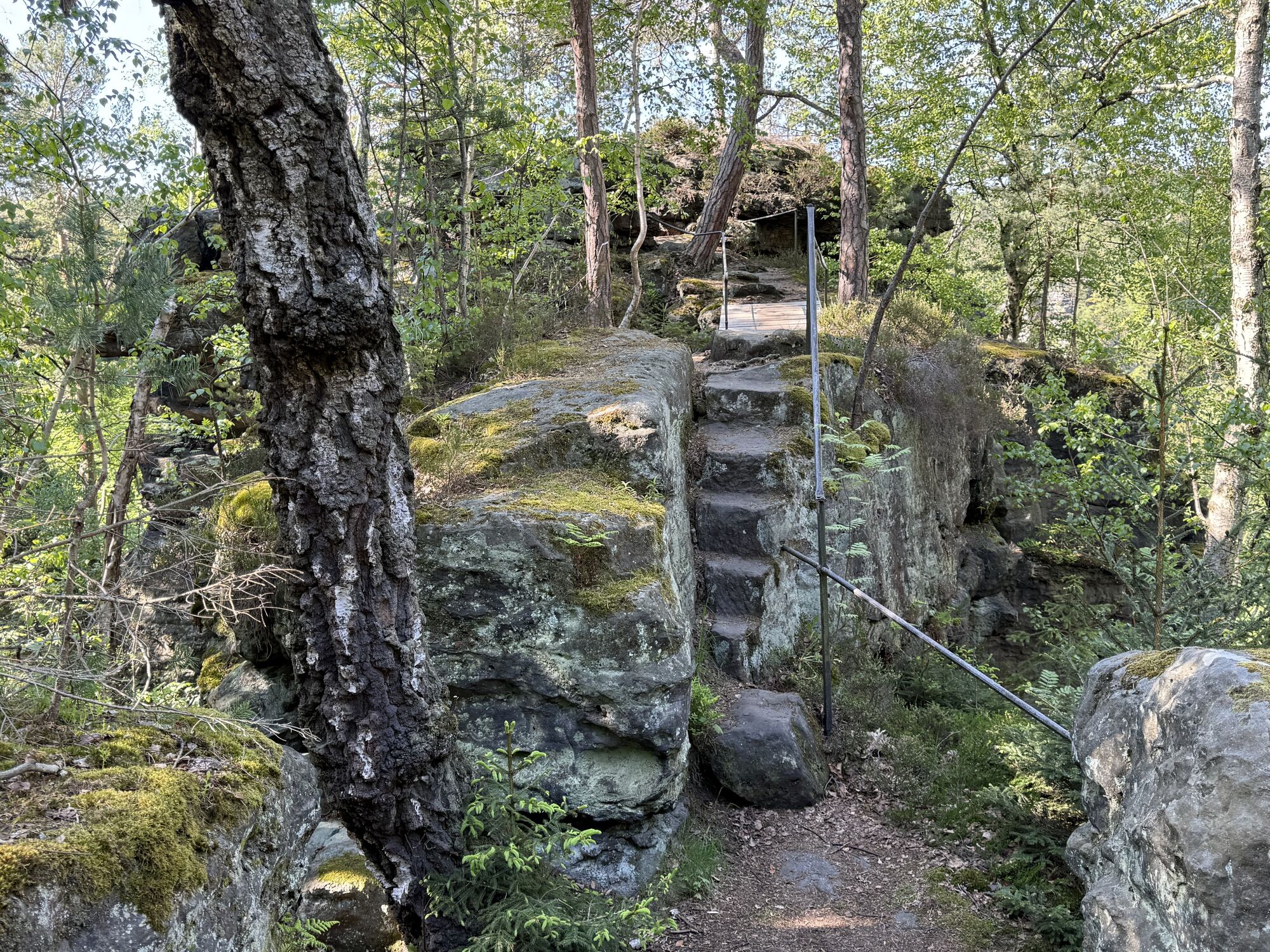
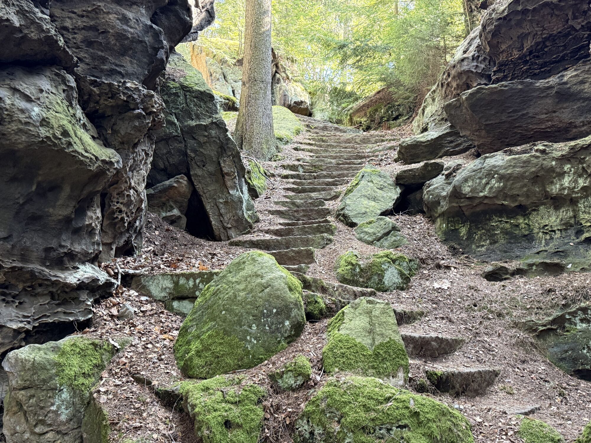
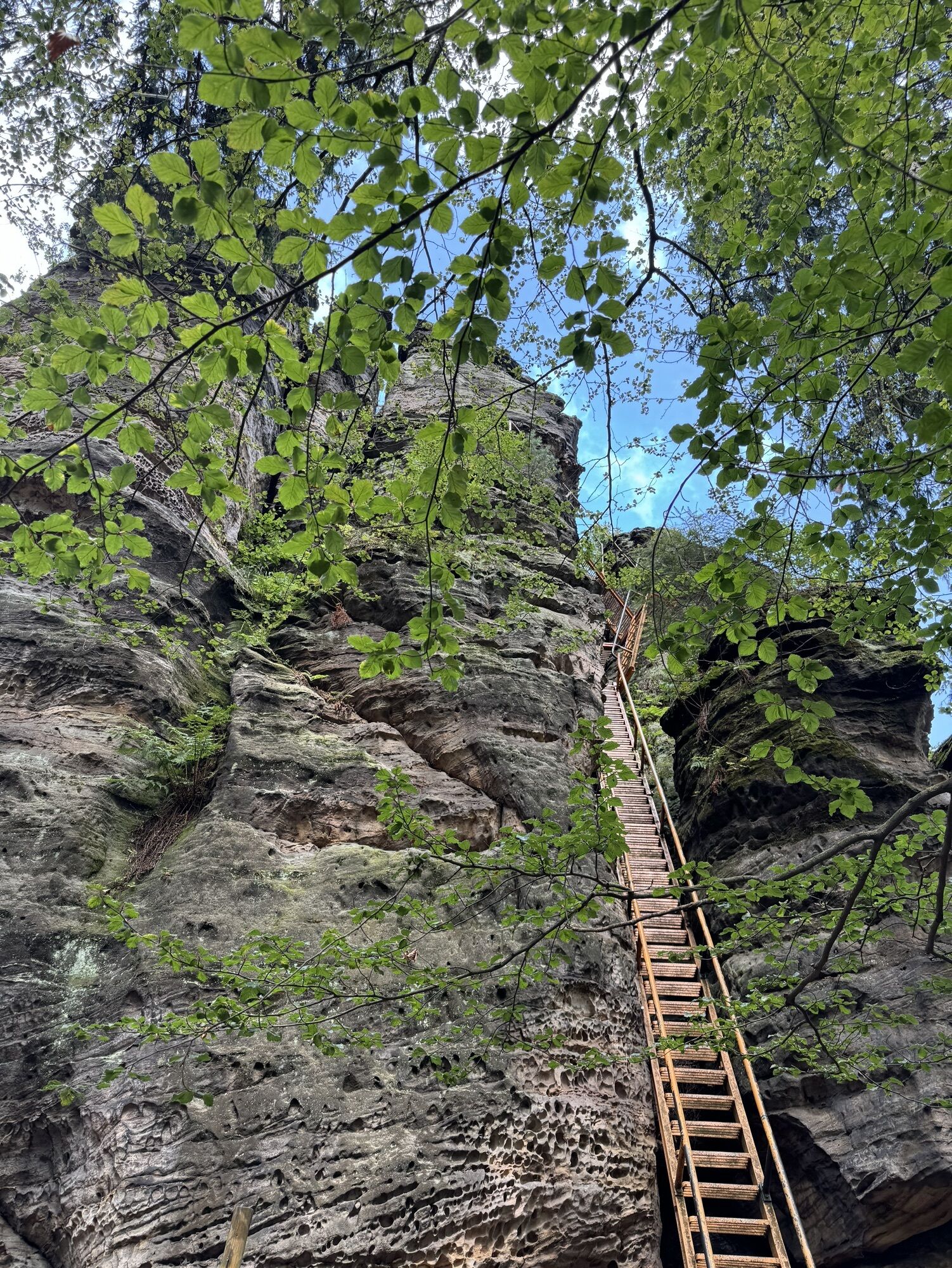
Arrived at the top there is one or the other following the yellow point to discover. Be it the many boundary stones adorned with a crown, a hidden romantic ruin (reminiscent of Rapunzel) or the Kaiser-Wilhelm-Feste, a crenellated bastion tower built in 1880 as a lookout point, to the right. Shortly after, a turnoff on the right leads downhill between the rocks. Via a rocky alley with iron steps you regain a few meters of altitude. Now the next spectacular view awaits the hiker: the Hercules Pillars. It is hard to believe that climbers entrust their lives to these filigree rock creatures. Green triangles point to vantage points. It is worthwhile to leave the path here and there.
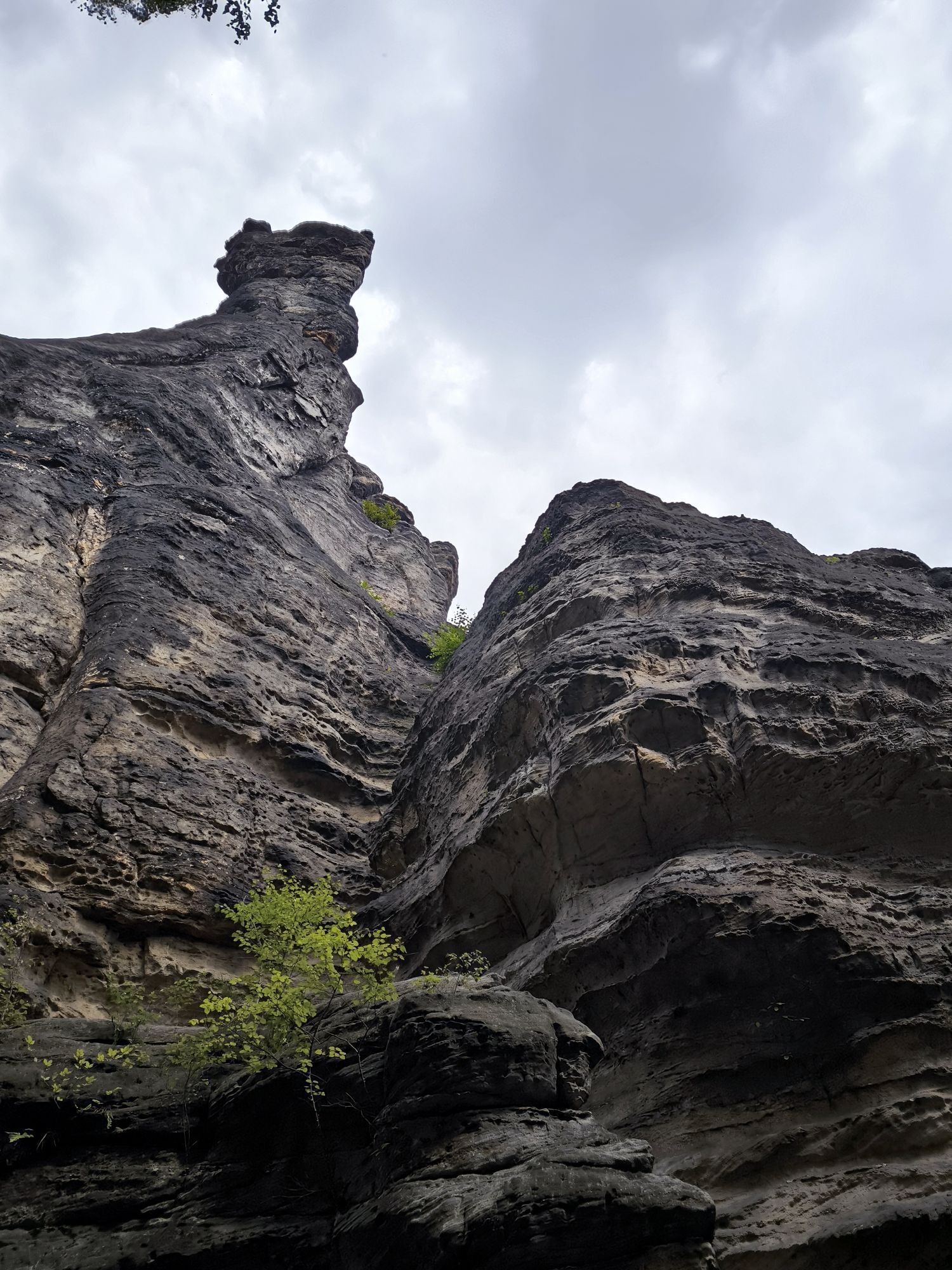
After further rock passages, you climb uphill on a path. Once you reach the top, continue to the right, past the views to the Mühlweg and make a detour to the lookout rock at the Großvaterstuhl. Half of the tour is now done.
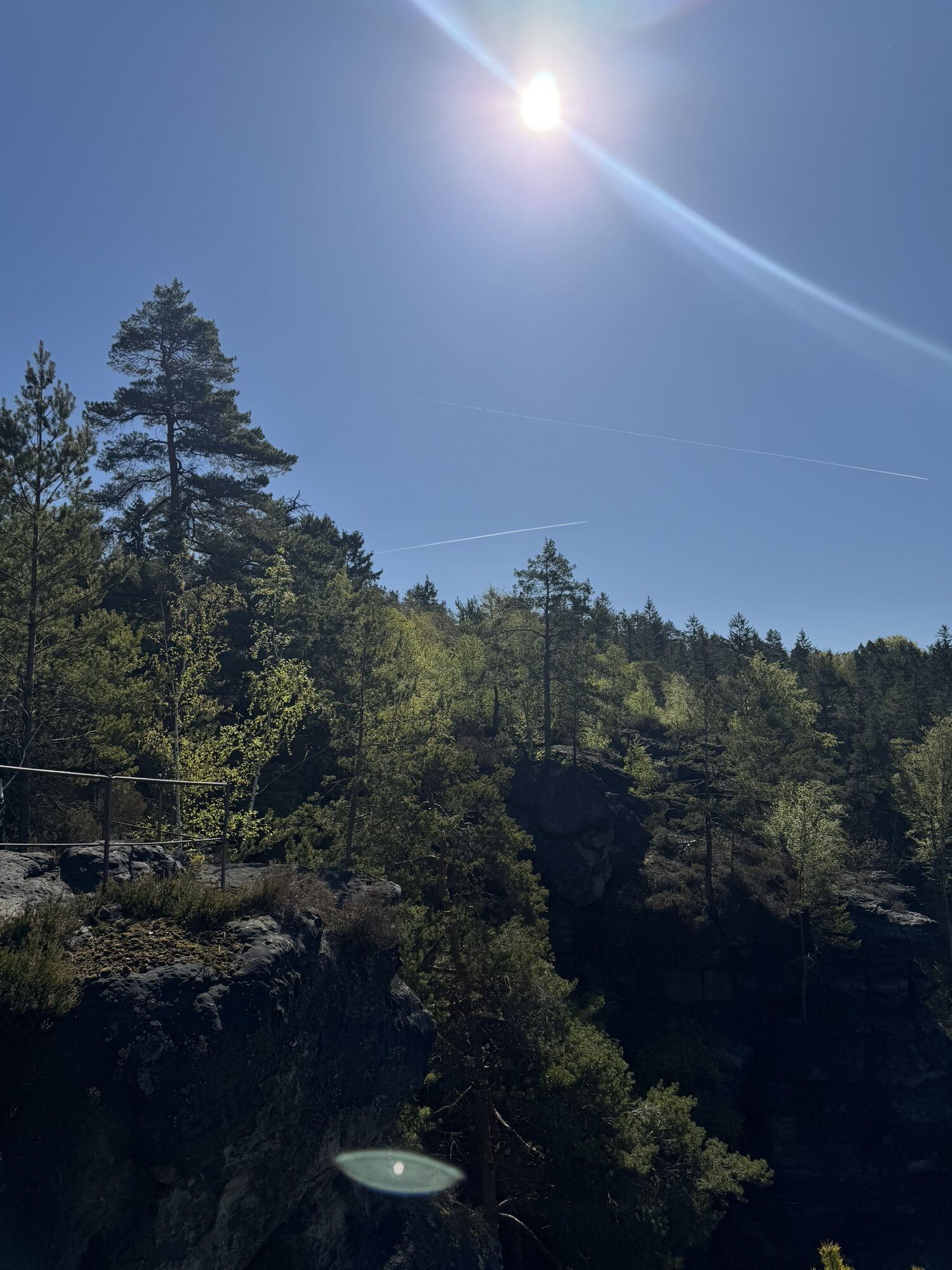
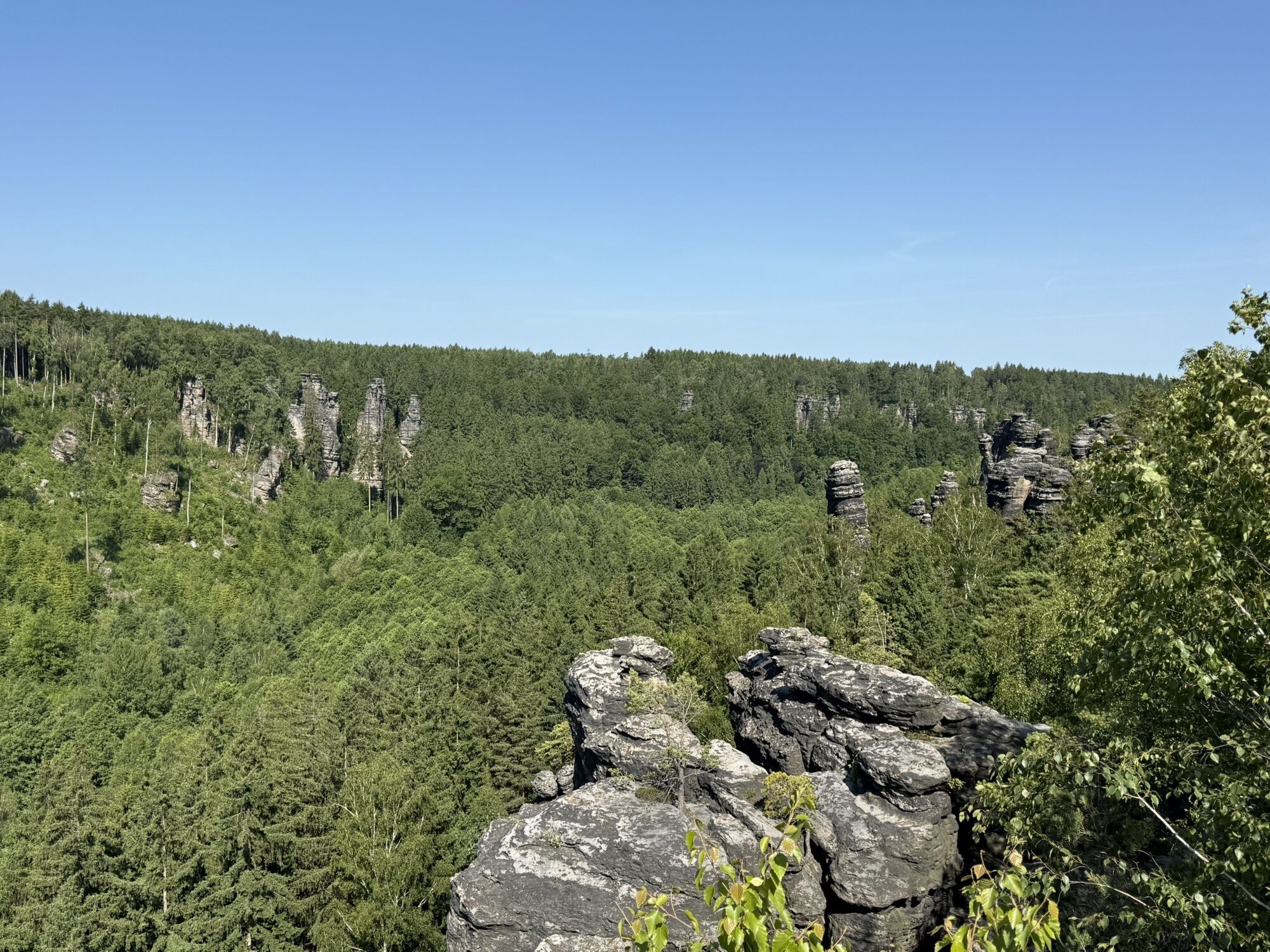
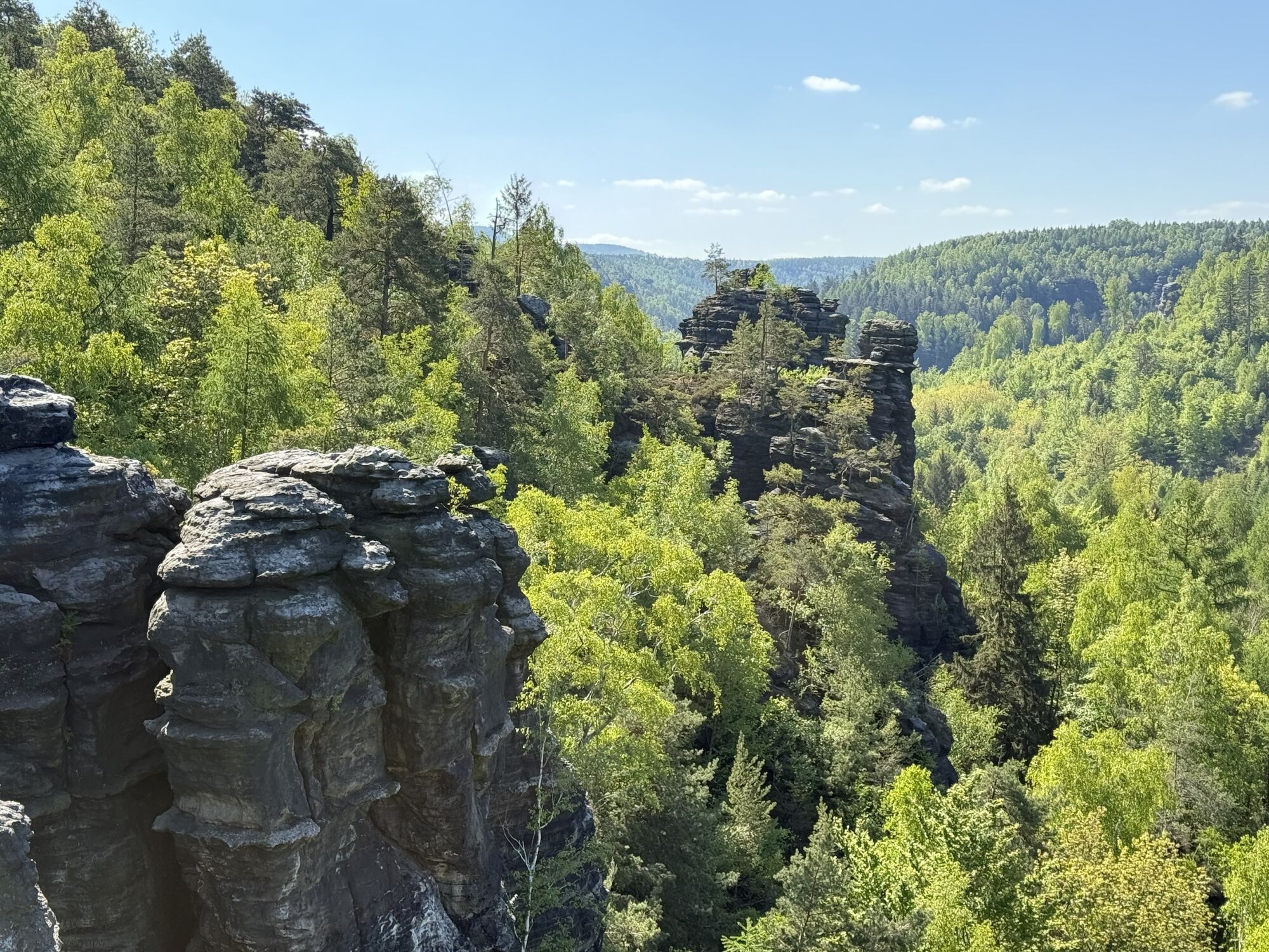
Via the Ottomühle or Dachsensteinbaude (snack bar) with refreshment options, you return. Walk along the road towards the parking lot for about 100m and then turn left onto the Kerbensteig (marked with a green dot). The next summit is waiting, the Johanniswacht with its beautiful view over the Bielatal to the Kaiser-Wilhelm-Feste opposite. After a little later the summit happiness of the Sachsenstein was taken, the path now follows the yellow point to the neighbor - the last rock that wants to be climbed on this tour.
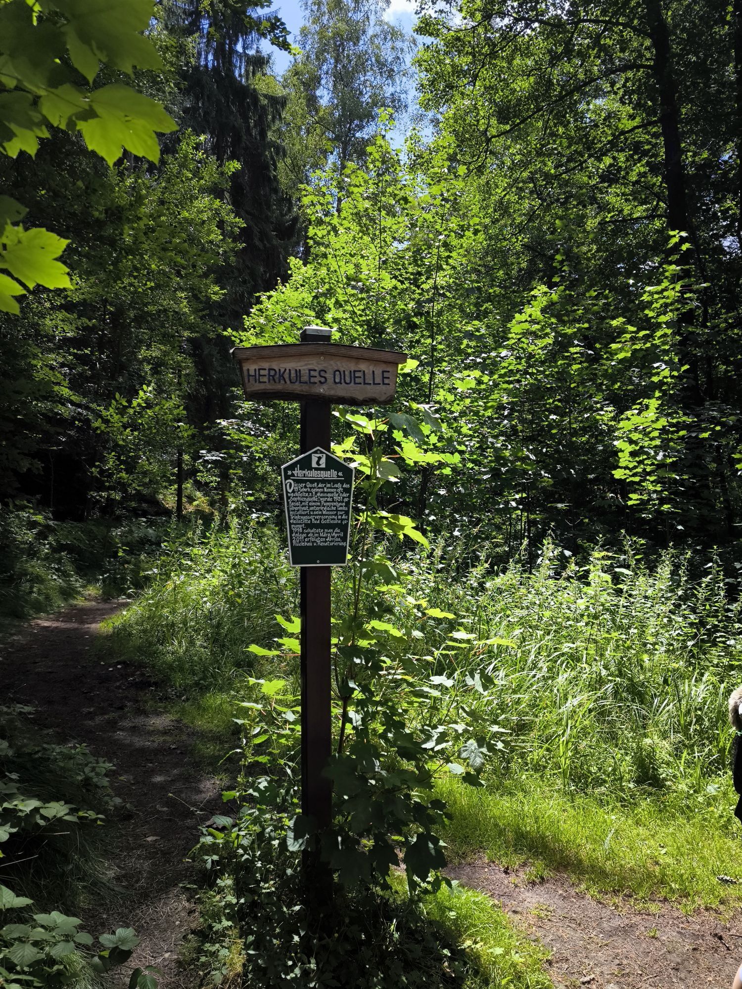
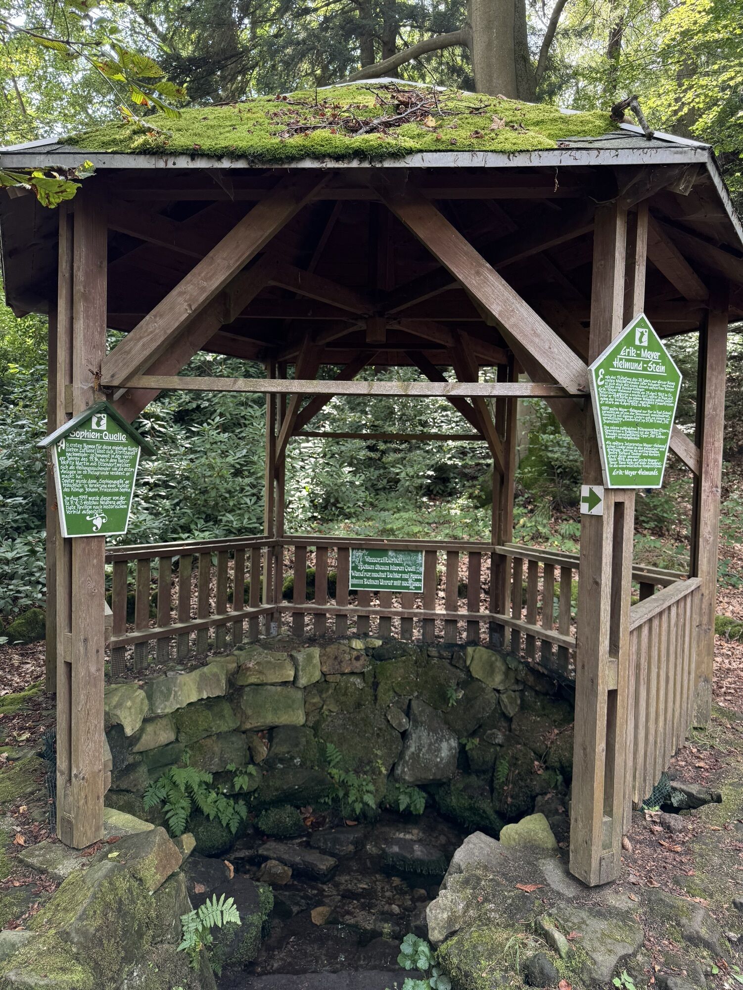
To get there, go downhill again to the Sophien spring and from here follow the signpost "AP Nachbar" (view point, difficult ascent). Carl Merkel wrote already in 1825: "If our time and physical strength permit, we will climb the... Herr Nachbar, a magnificent rocky section with a surprising view."
Finally, the path goes down again. At the forest chapel the Poststeig leads along on the left (be careful not to miss the turnoff). You follow it back to the historic blast furnace and have thus reached the starting point.
Order now: Dr.-Ing. Rolf Böhm Hiking Map: Bielatal
Hiking boots recommended
Coming from Dresden on the A17 you drive to Pirna. From here it is only about 15 km to Rosenthal-Bielatal.
Bielatal Hochofen parking lot (fee required; free of charge with Rosenthal-Bielathal guest card)
In winter, with light snowfall, it is particularly spectacular and especially quiet here. However, be careful in icy conditions.
Aktywności na trasie
-

Bielatal: Durch die bizarre Felsenwelt mit vielen Aussichtspunkten
19.07.2026 – Wędrówka -

Rosenthal-Bielatal, Sachsen/Deutschland
19.06.2026 – Wędrówka -
Bielatal: door de bizarre rotswereld met vele uitkijkpunten
18.06.2026 – Wędrówka -
Bielatal: door de bizarre rotswereld met vele uitkijkpunten
18.06.2026 – Wędrówka -
Bielatal: door de bizarre rotswereld met vele uitkijkpunten
18.06.2026 – Wędrówka -
Bielatal: door de bizarre rotswereld met vele uitkijkpunten
18.06.2026 – Wędrówka -

Rosenthal-Bielatal, Sachsen/Deutschland
08.03.2026 – Wędrówka
Popularne wycieczki w okolicy
-
4,6
Von Rathewalde zur Bastei
Wędrówka 12,8 km -
4,7
Rundwanderung Bastei Schwendenlöcher -Amselsee
światłoWędrówka 6,21 km -
4,7
Pfaffenstein Sachsen/Deutschland
średniWędrówka 3,89 km -
5,0
Basteibrücke
światłoWędrówka 2,31 km -
5,0
Lilienstein
światłoWędrówka 3,75 km -
4,9
entlang der Schrammsteine, Breite Kluft, Affenwand
średniWędrówka 11,6 km -
4,4
Kurort Rathen: Große Bastei-Runde
średniWędrówka zimą 4,75 km -
4,8
Bad Schandau, Schrammsteinrunde
średniWędrówka 11,0 km -
4,9
Schrammstein Runde
średniWędrówka 12,3 km -
4,6
Caspar-David-Friedrich-Weg
średniWędrówka 15,1 km

Wędrówki i tropienie


Nie przegap ofert i inspiracji na następne wakacje
Twój adres e-mail została dodana do listy mailingowej.





