







Medieval Tour to Neurathen Rock Castle and the Sweden Holes
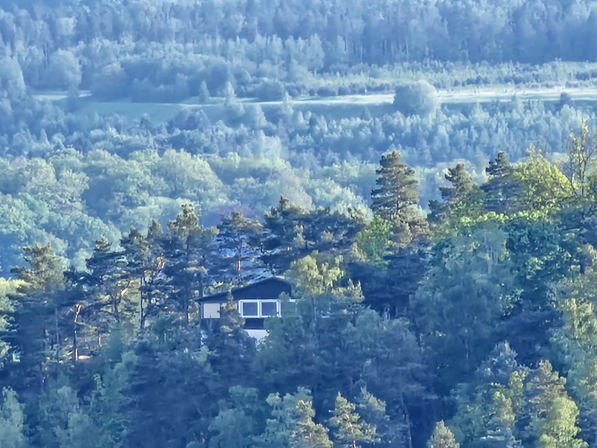
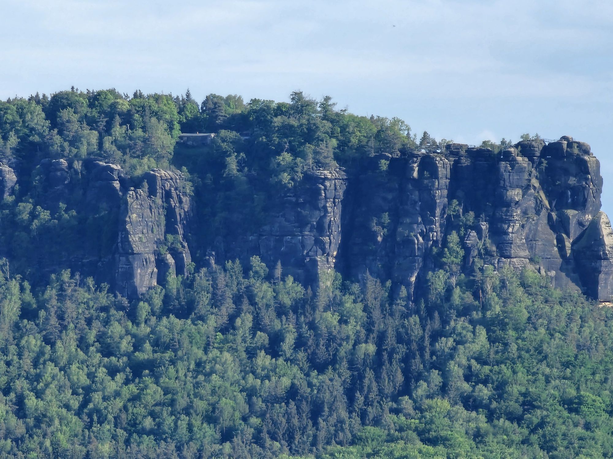
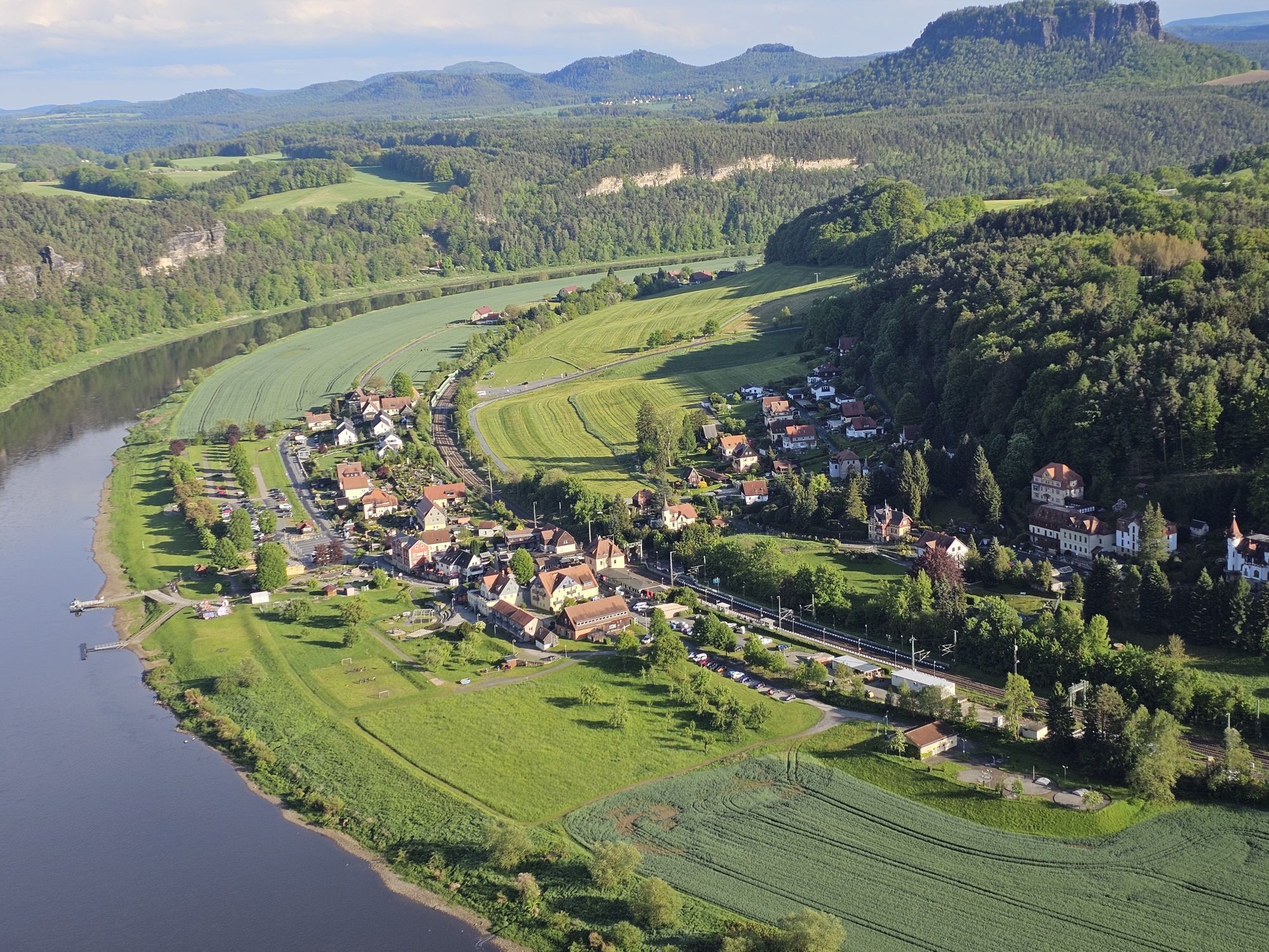
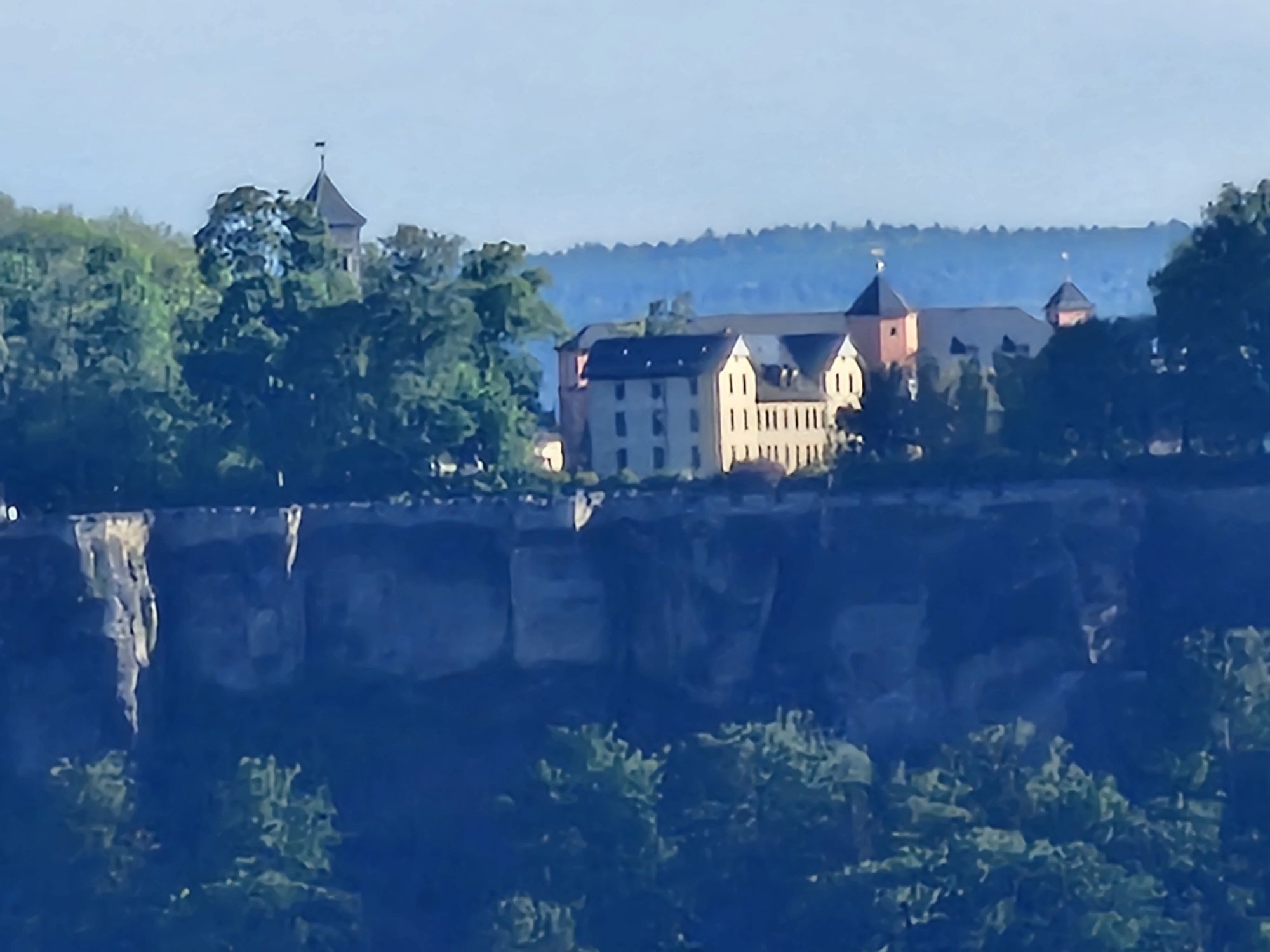
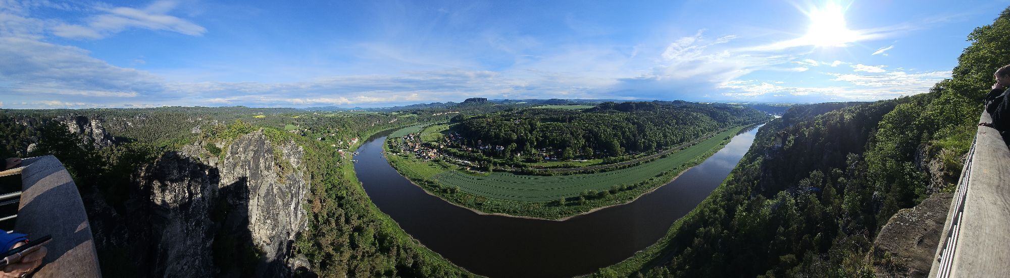
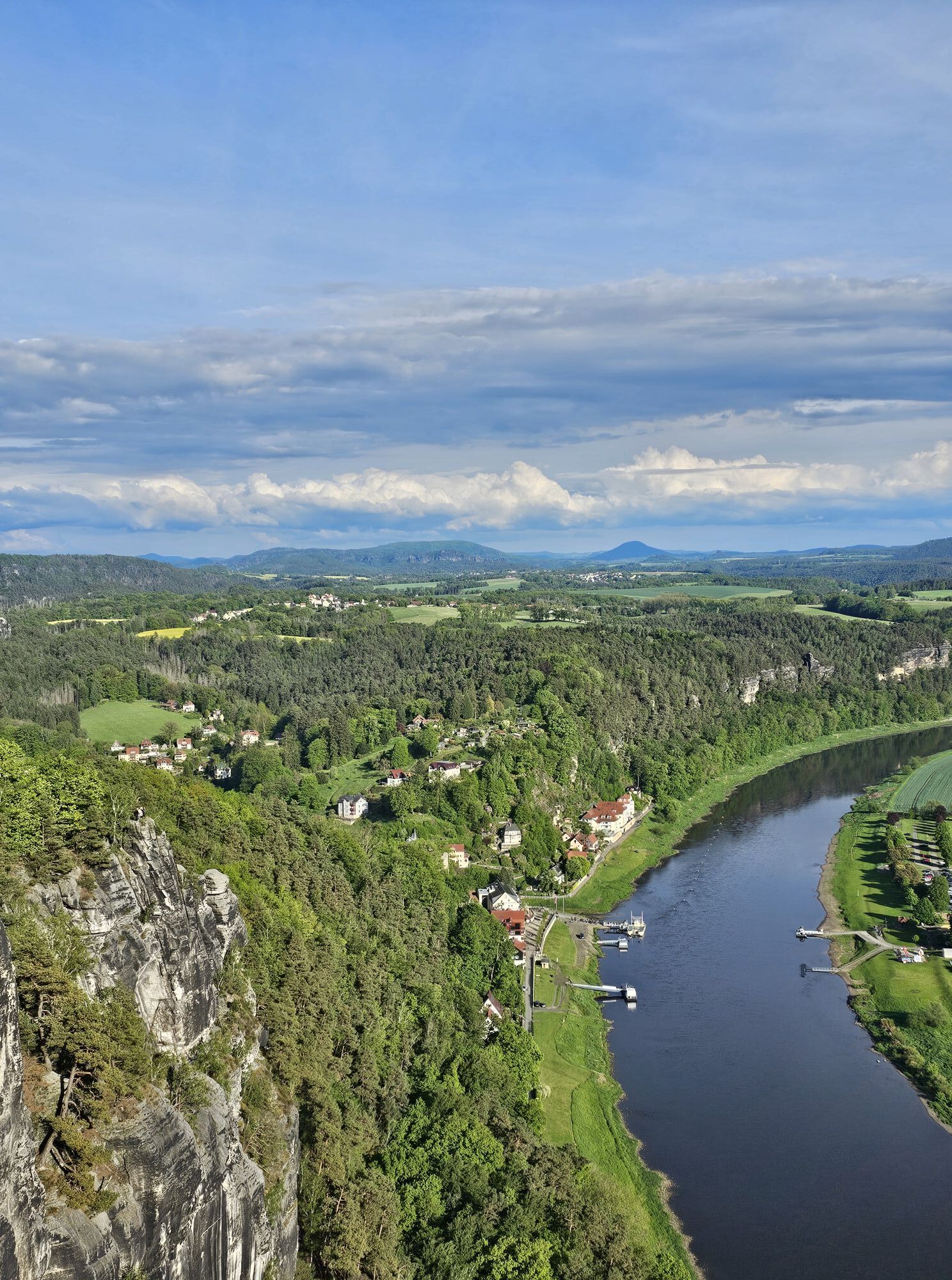
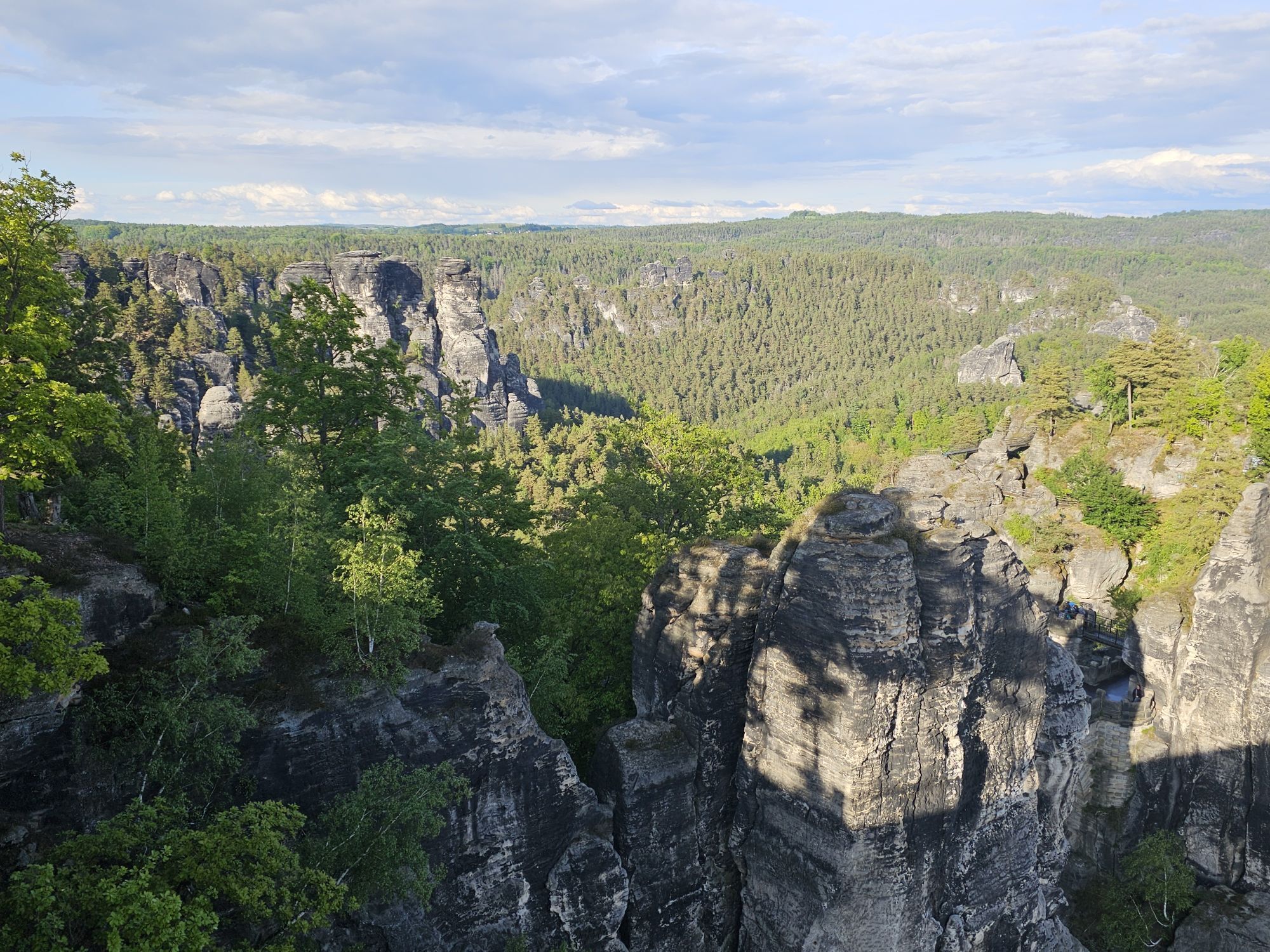
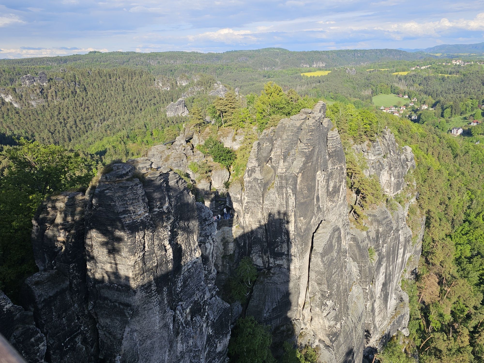
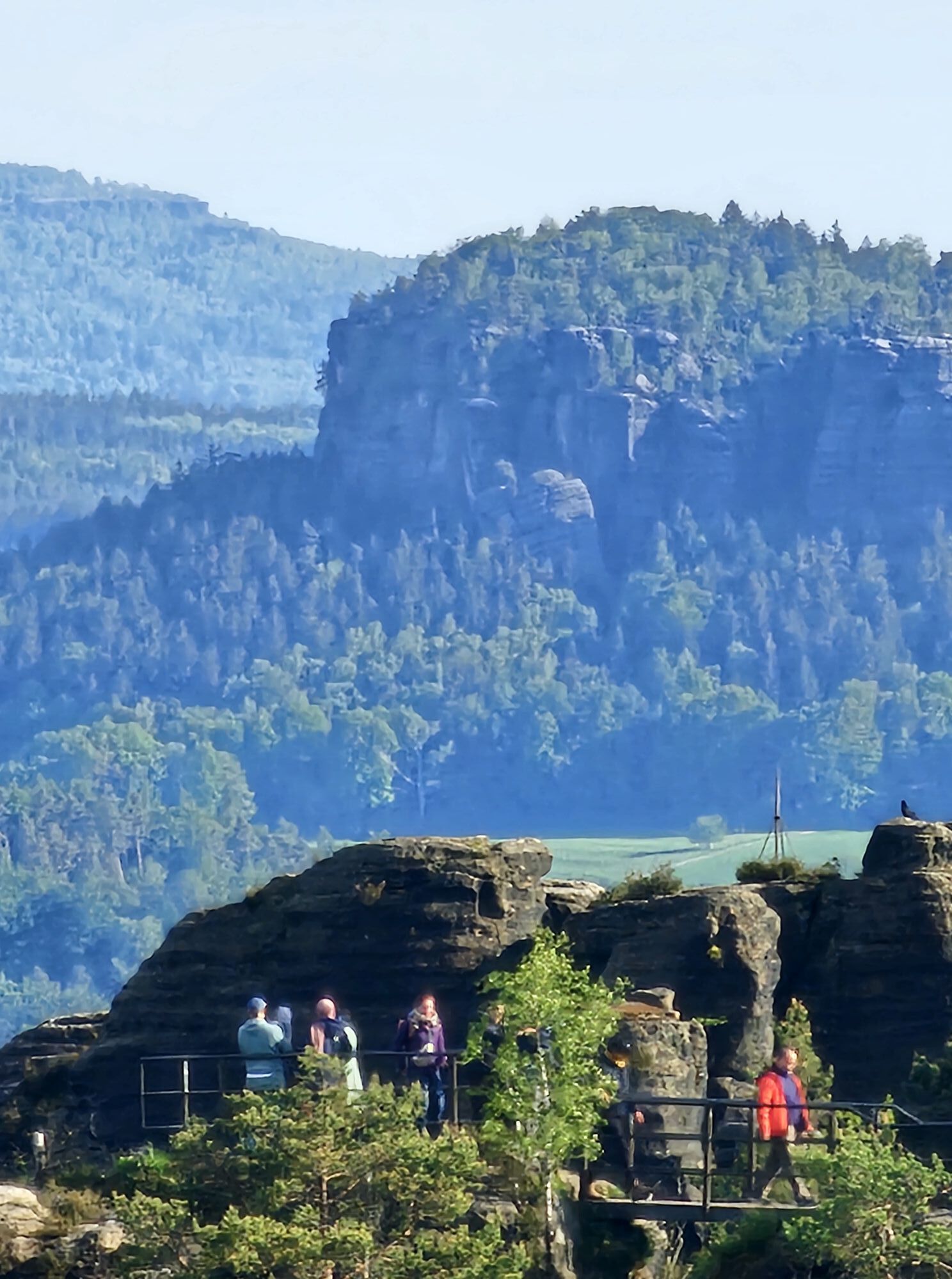
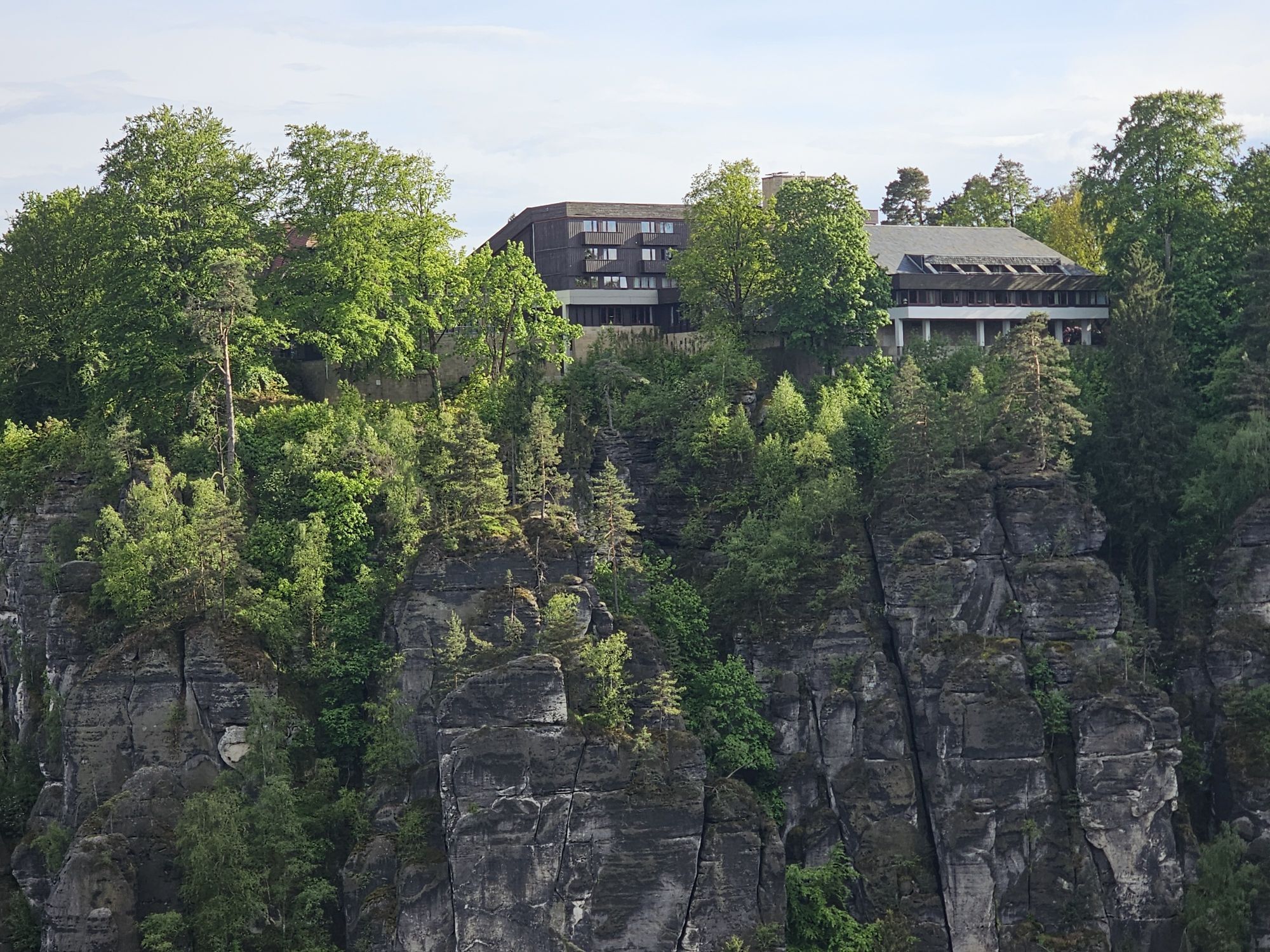
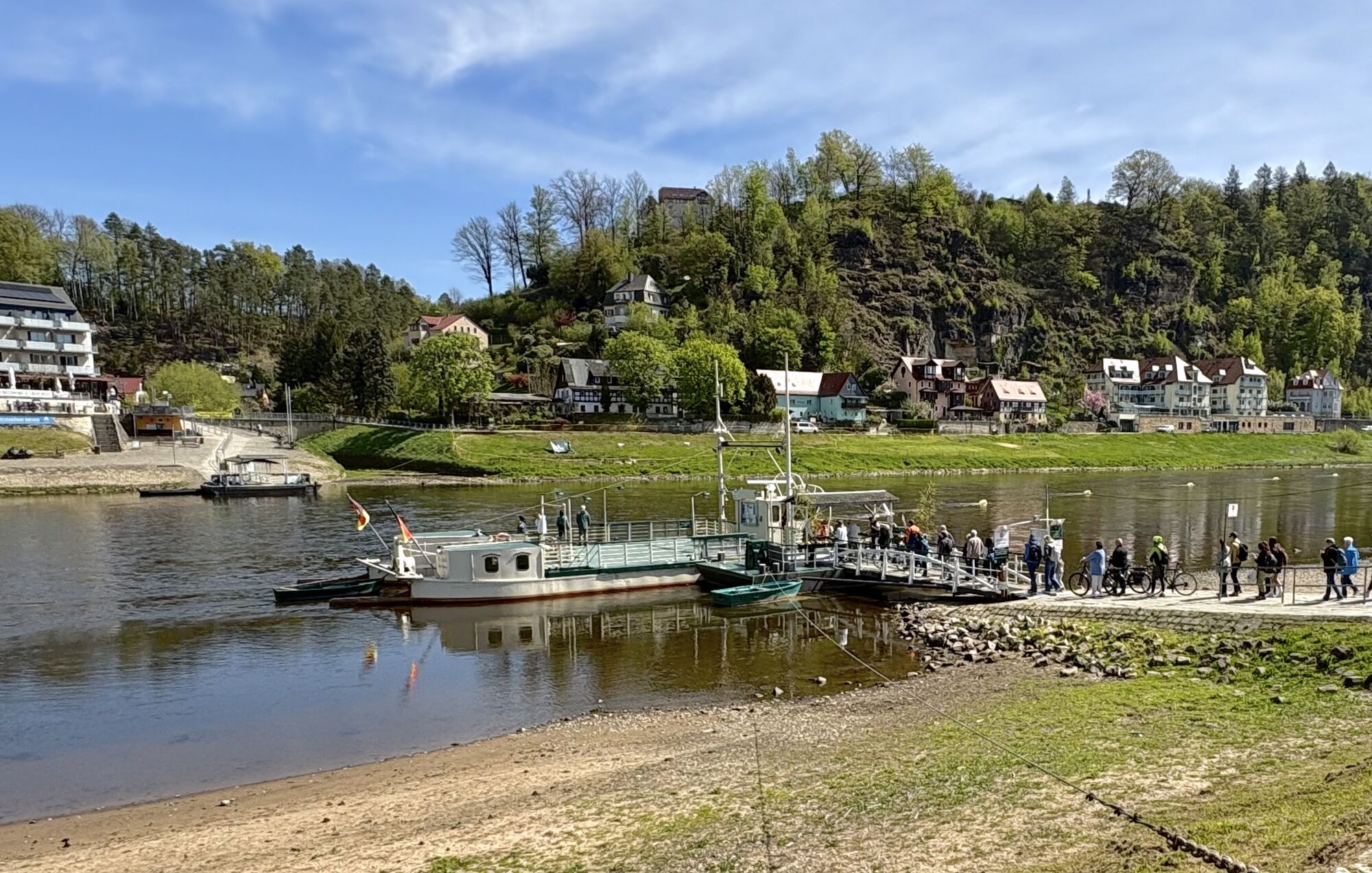
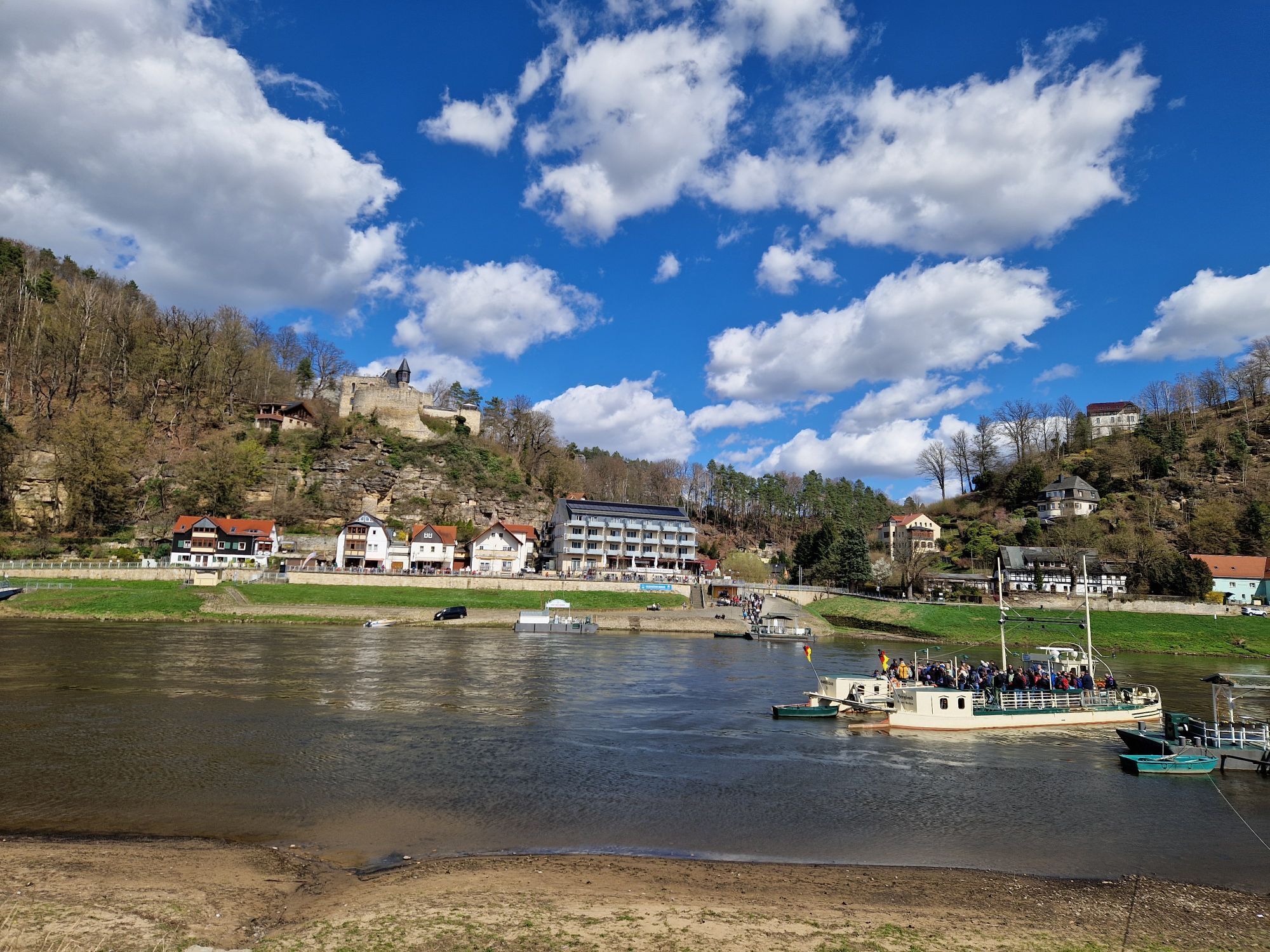
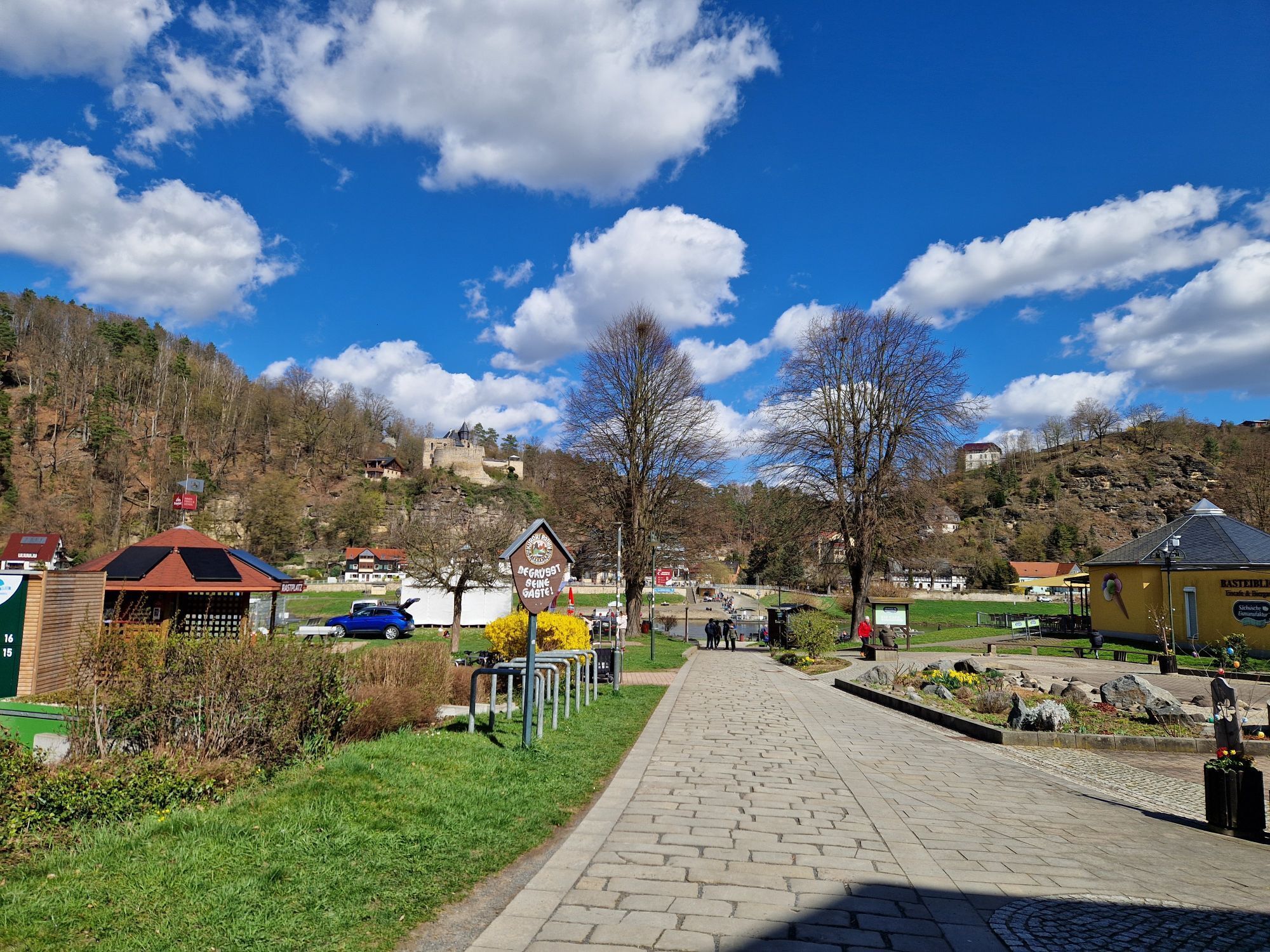
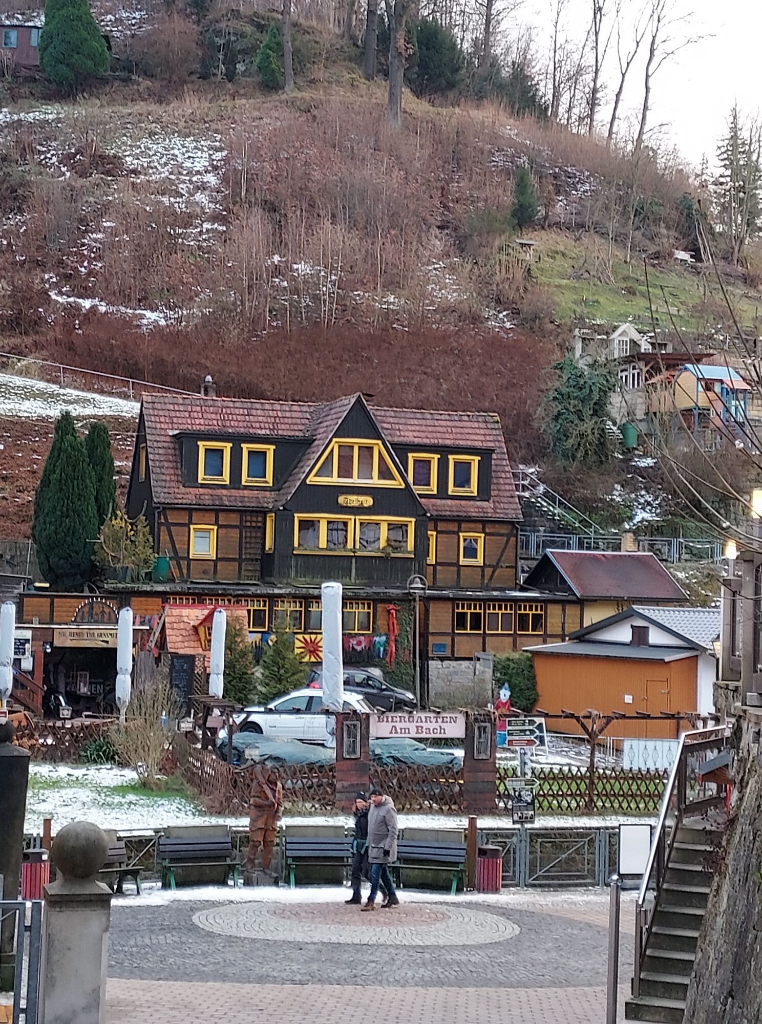
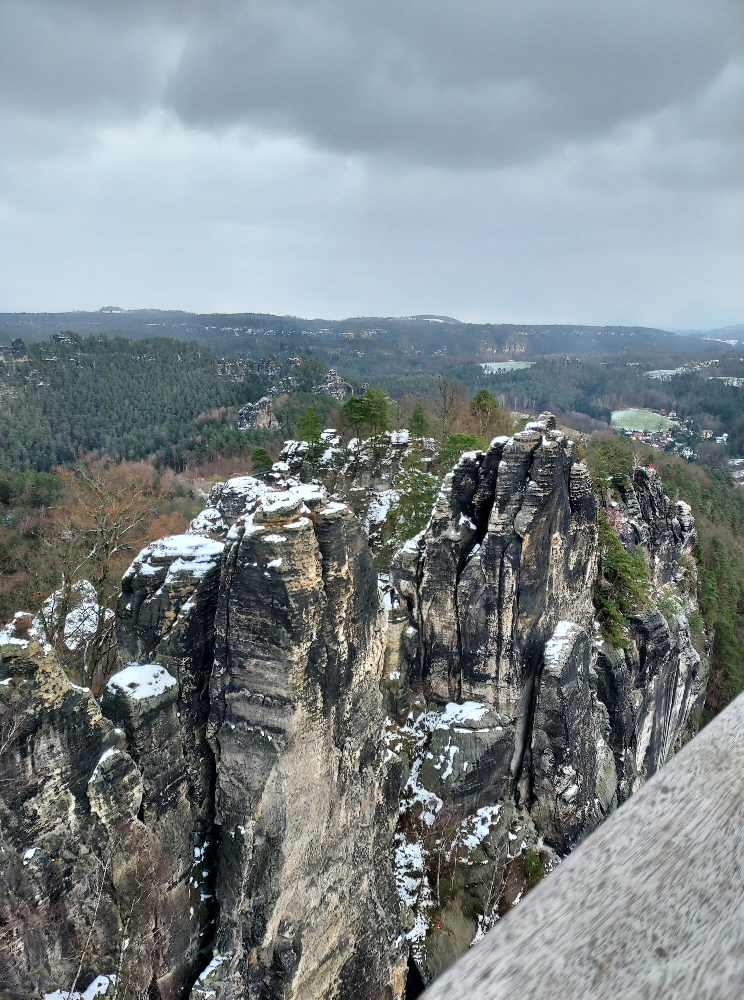
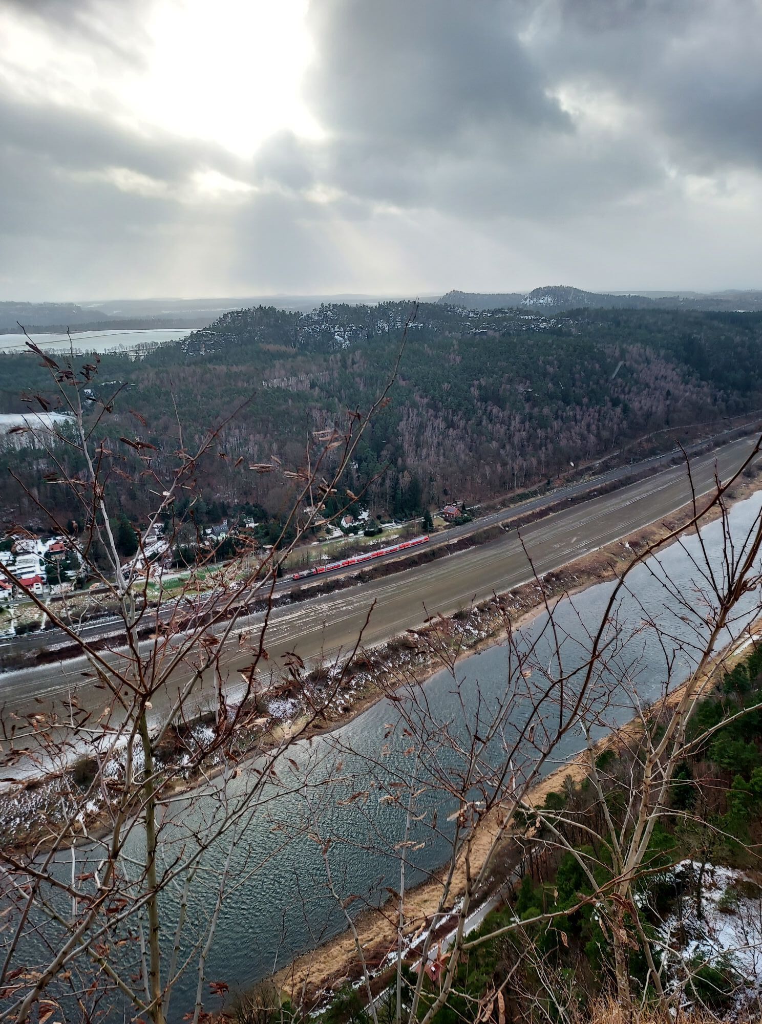
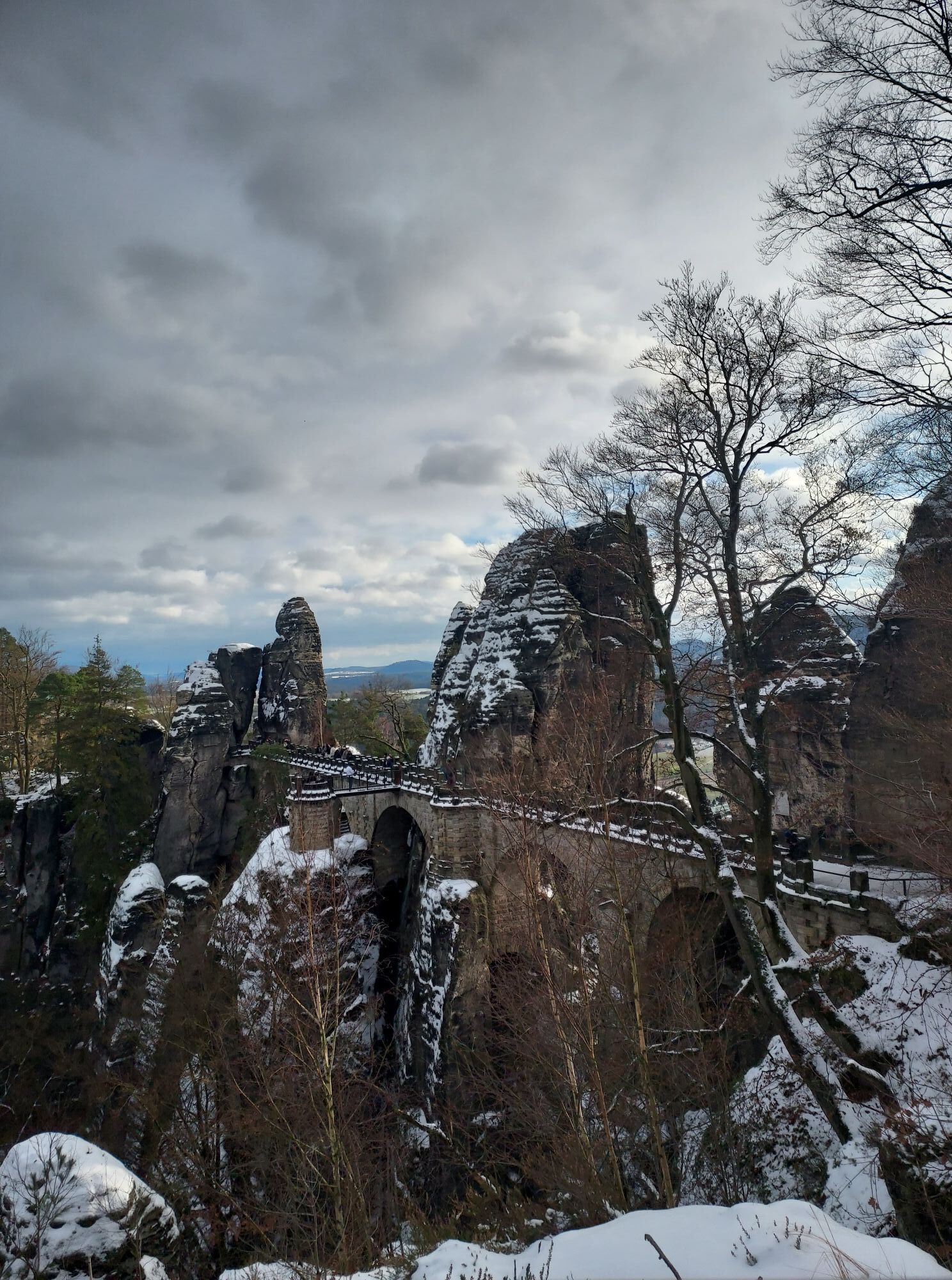
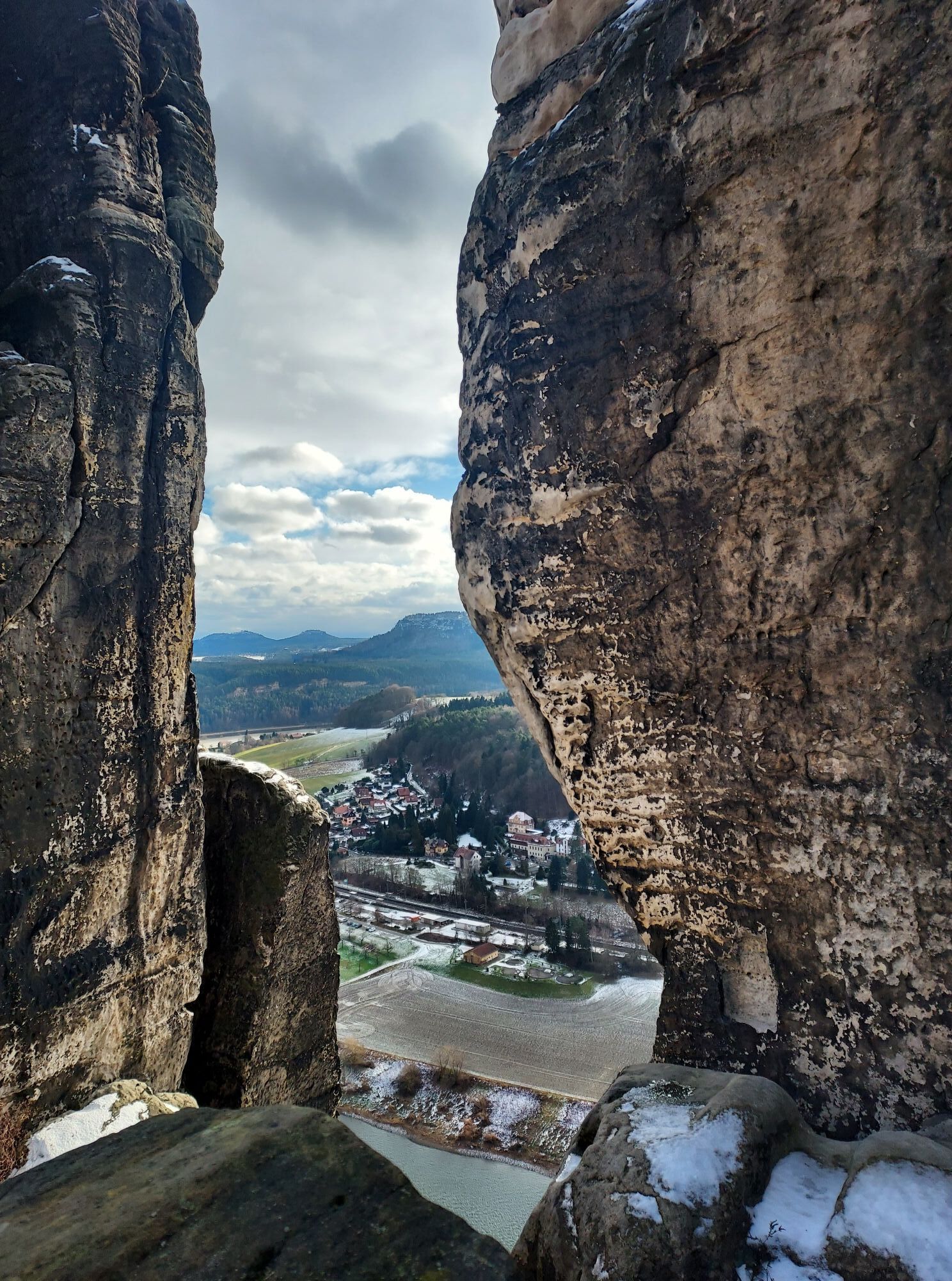
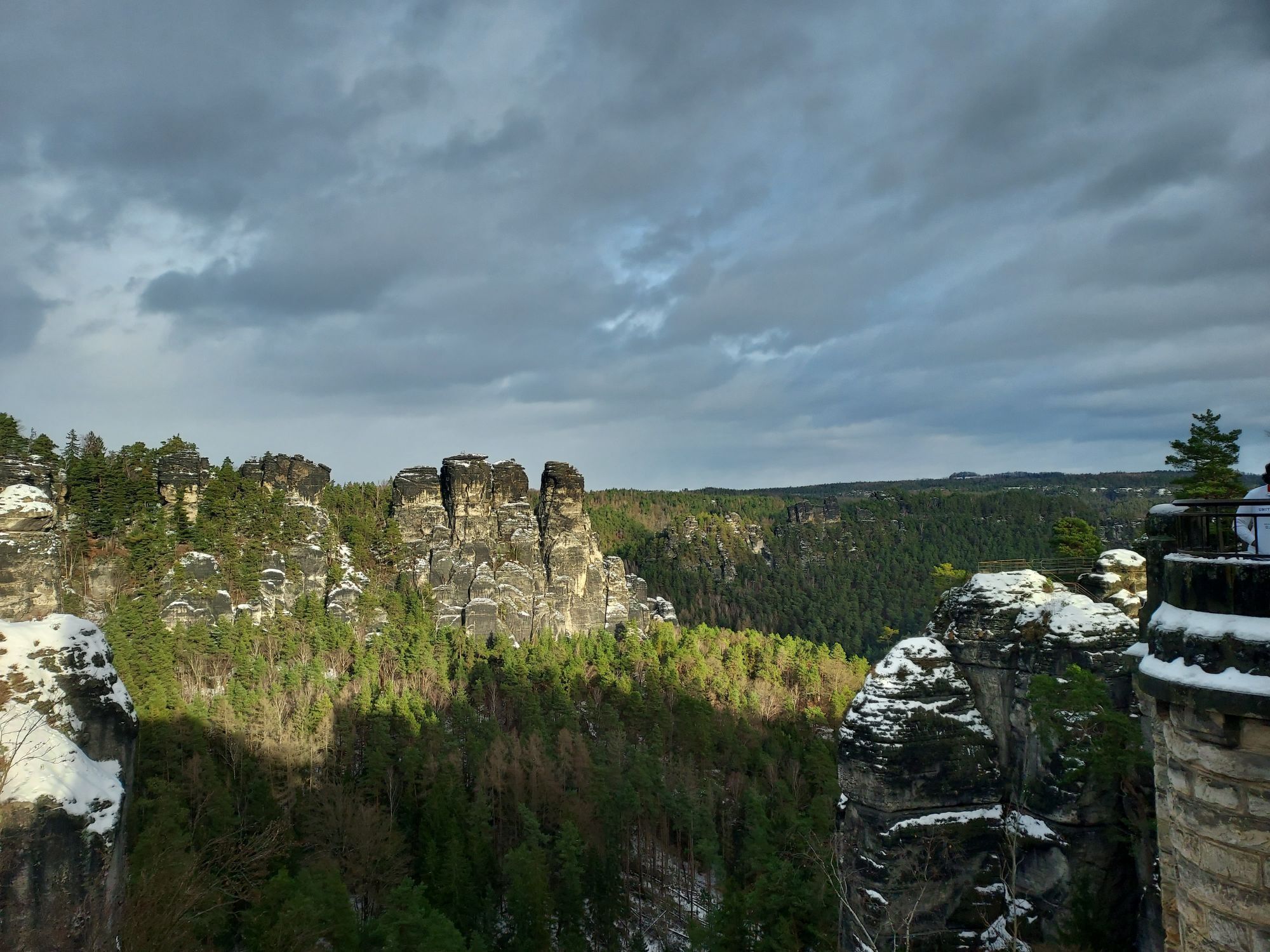
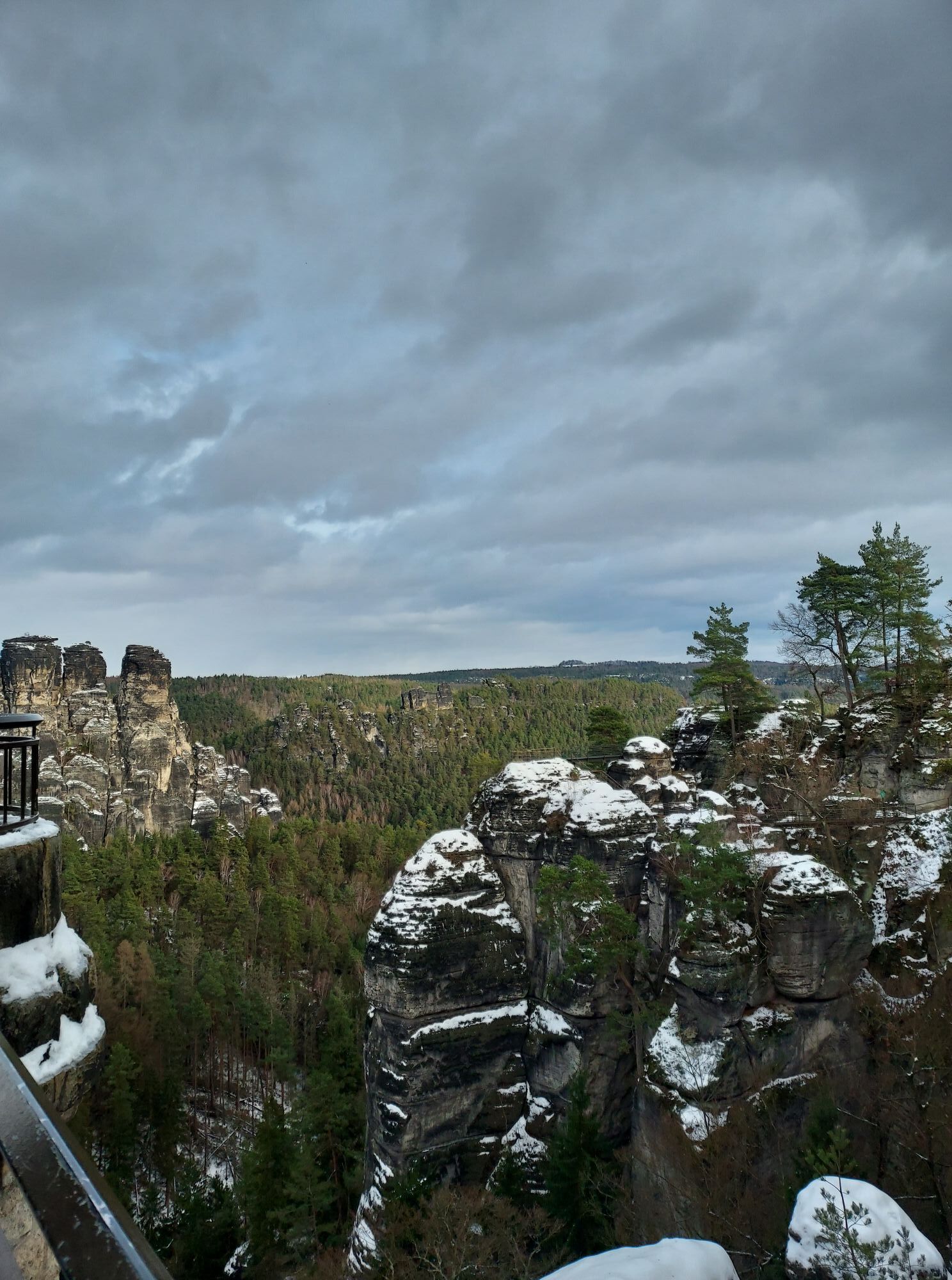
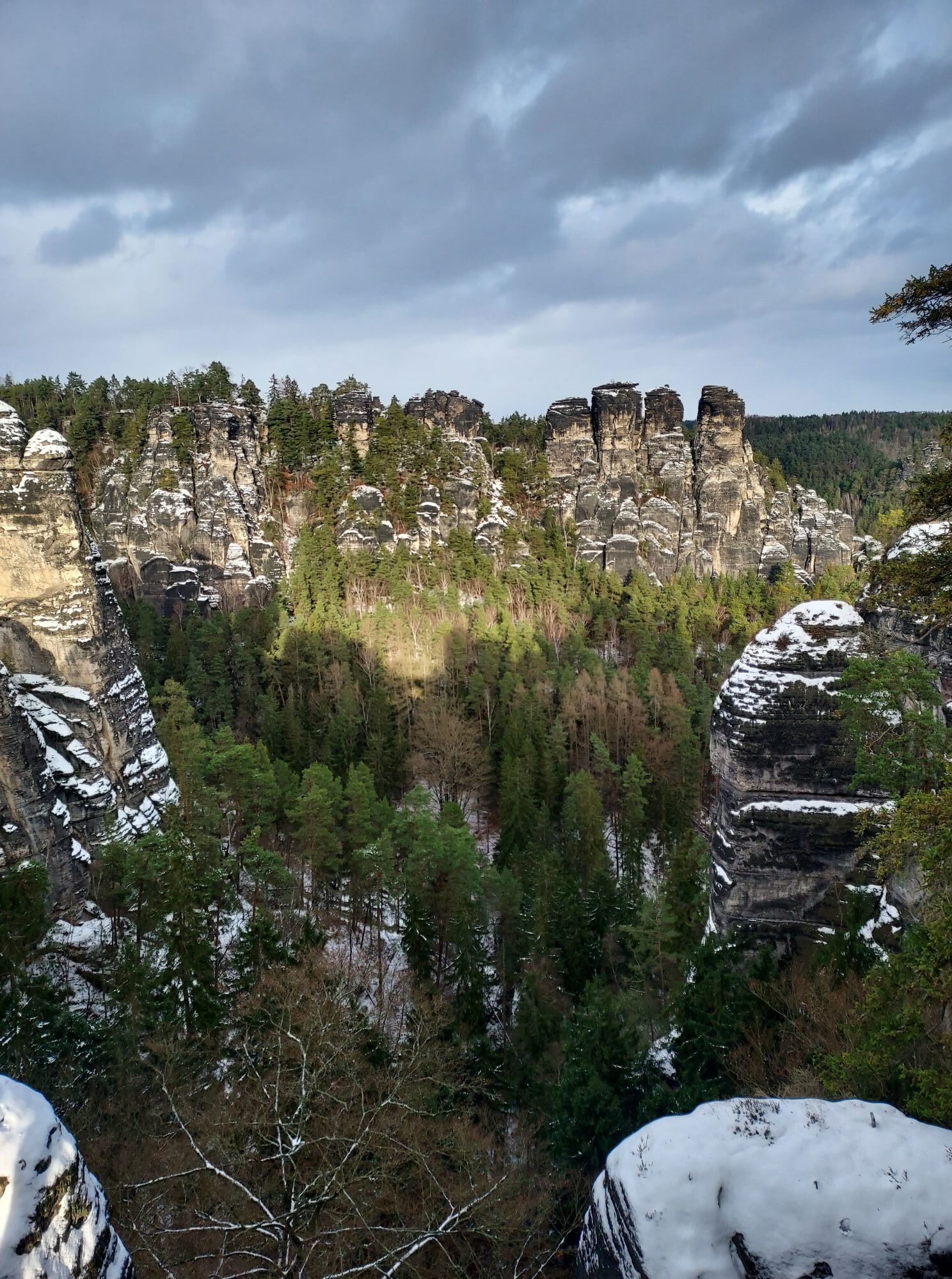
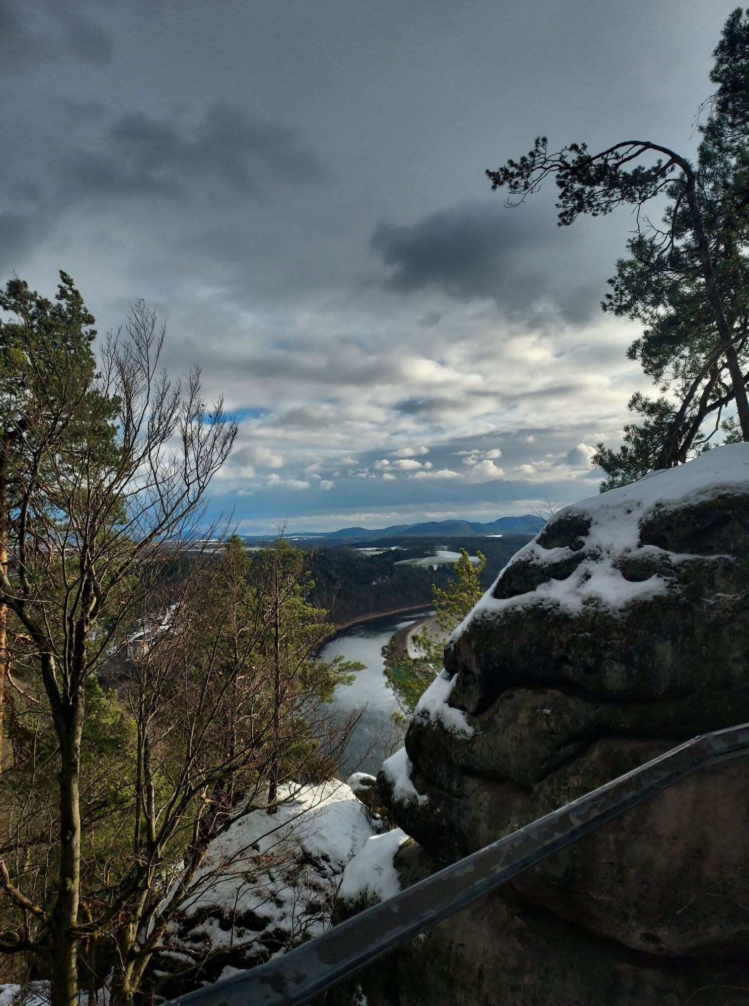
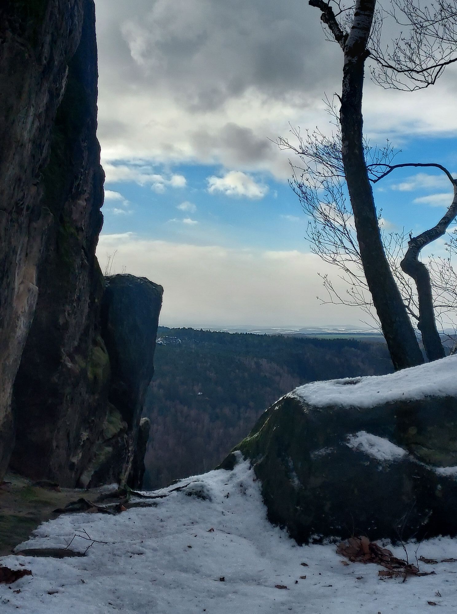
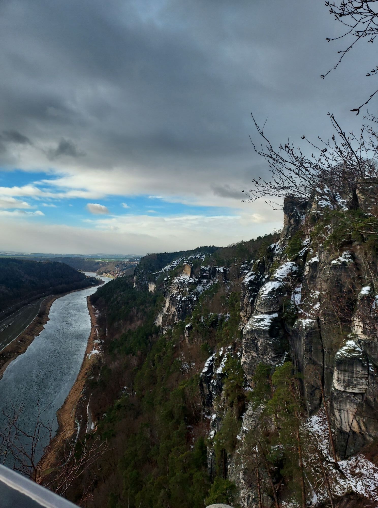
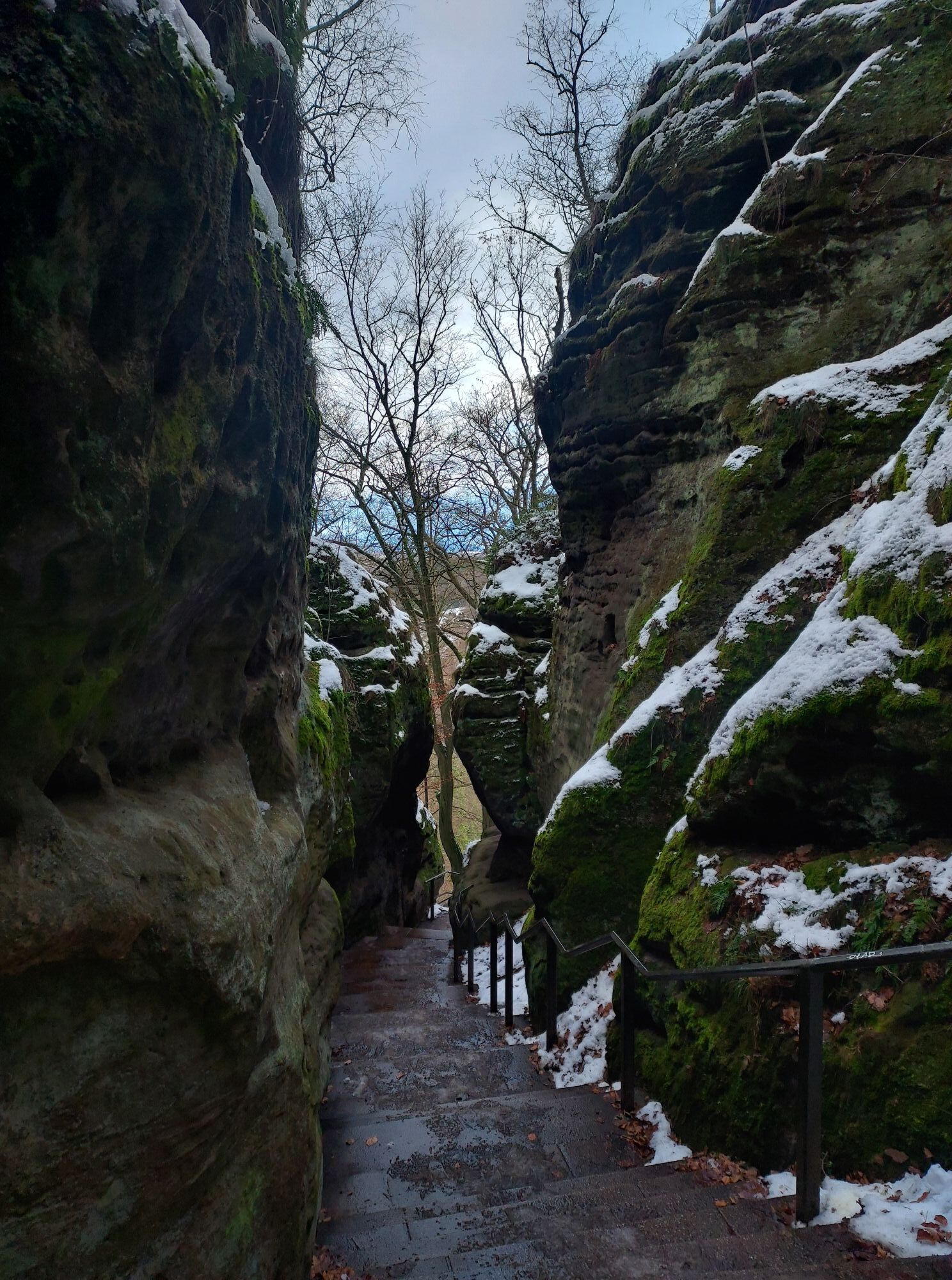
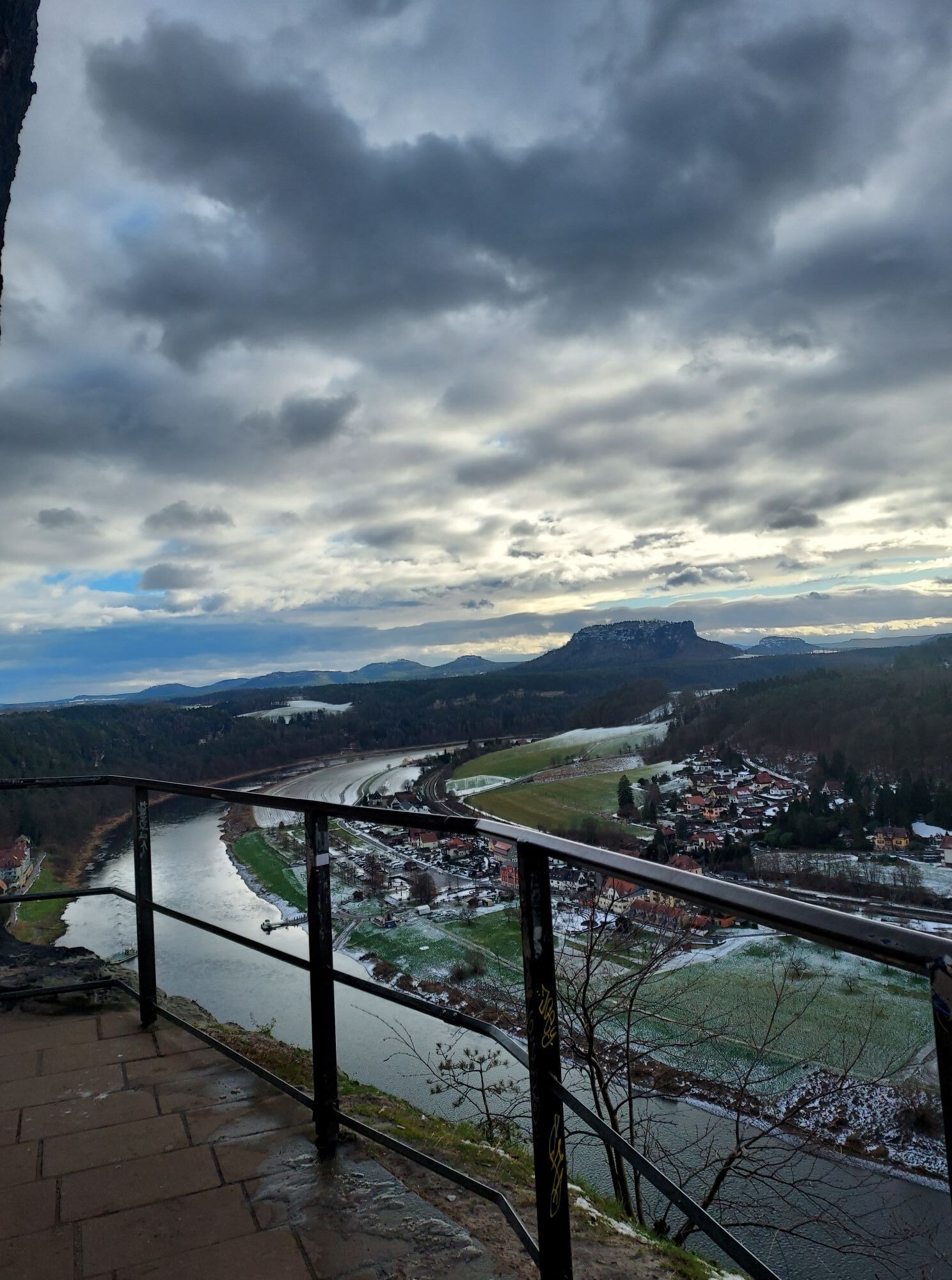
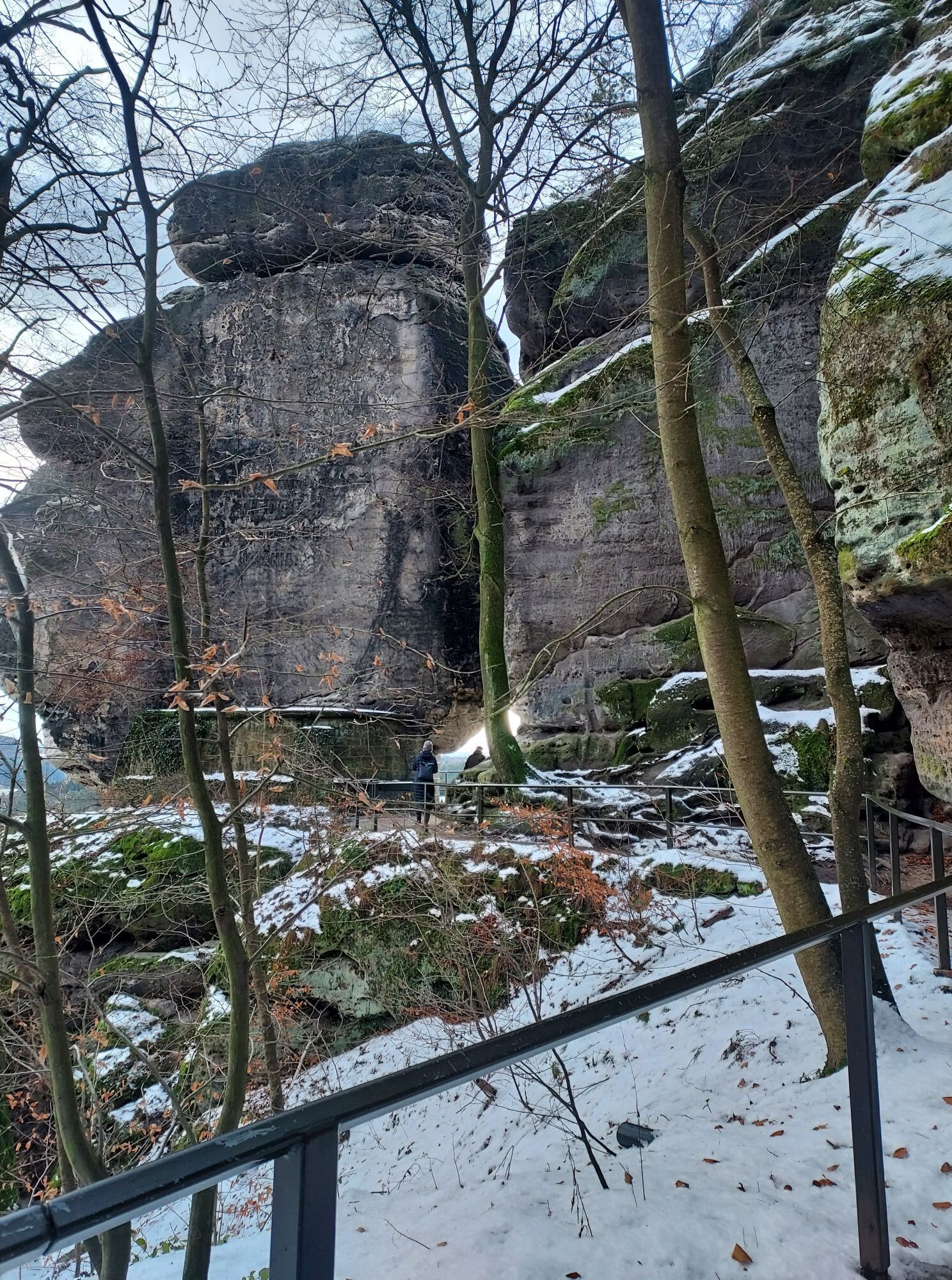
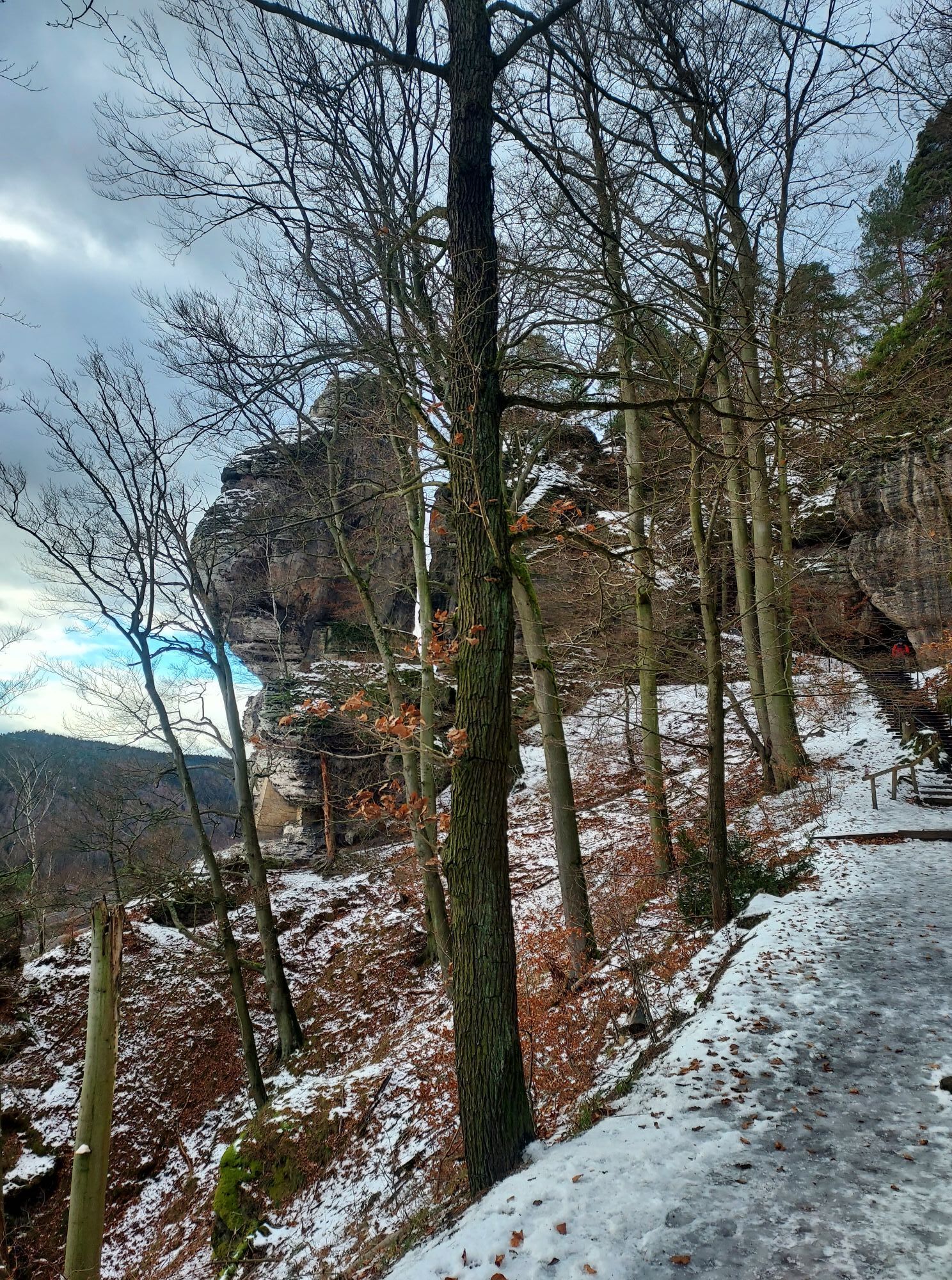
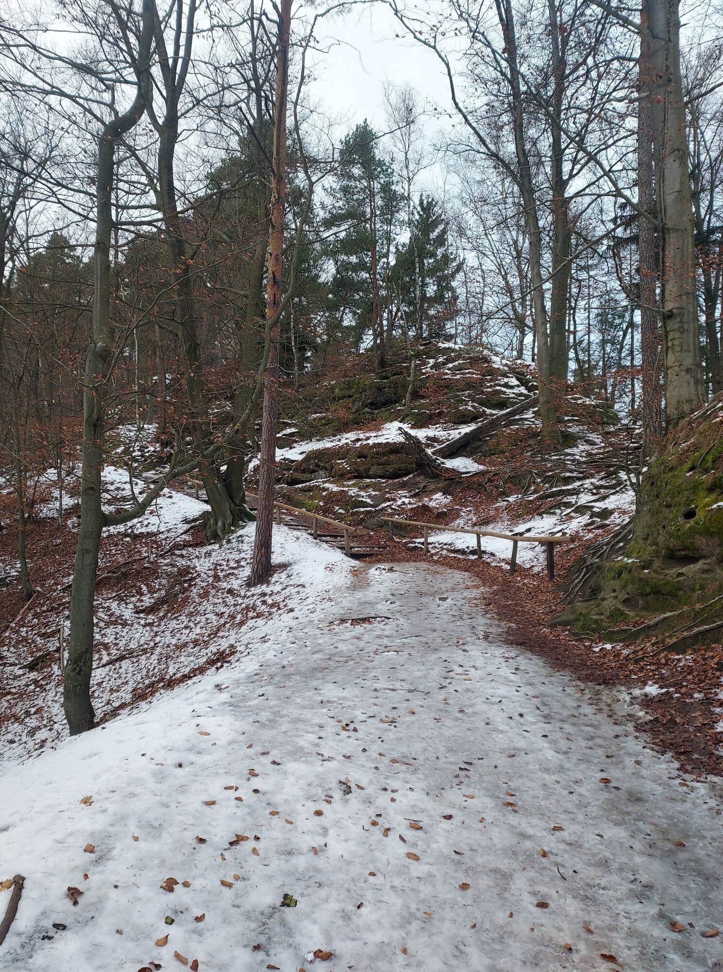
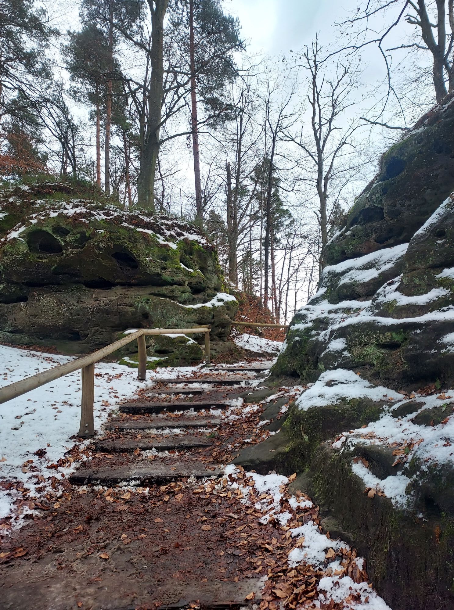
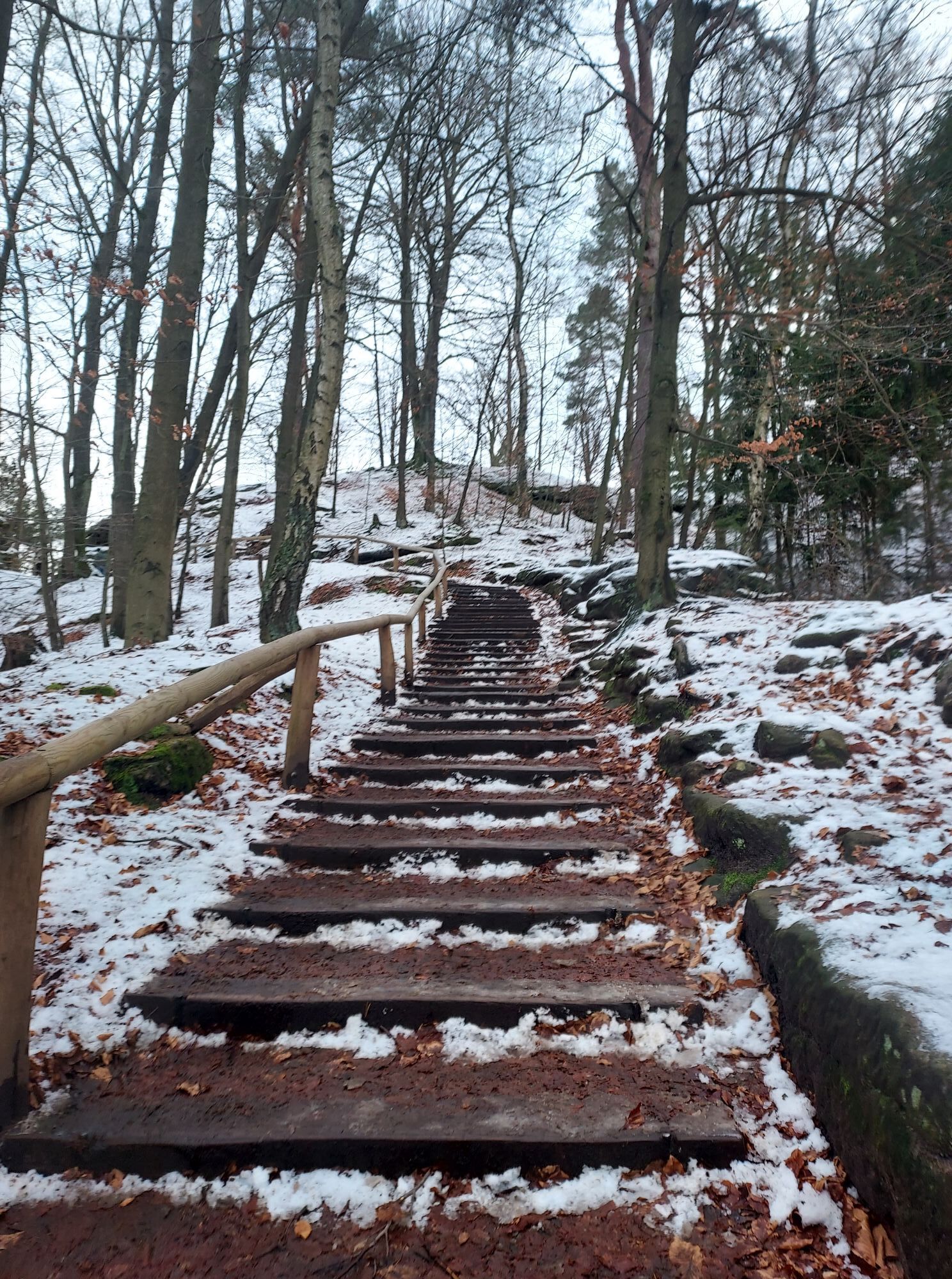
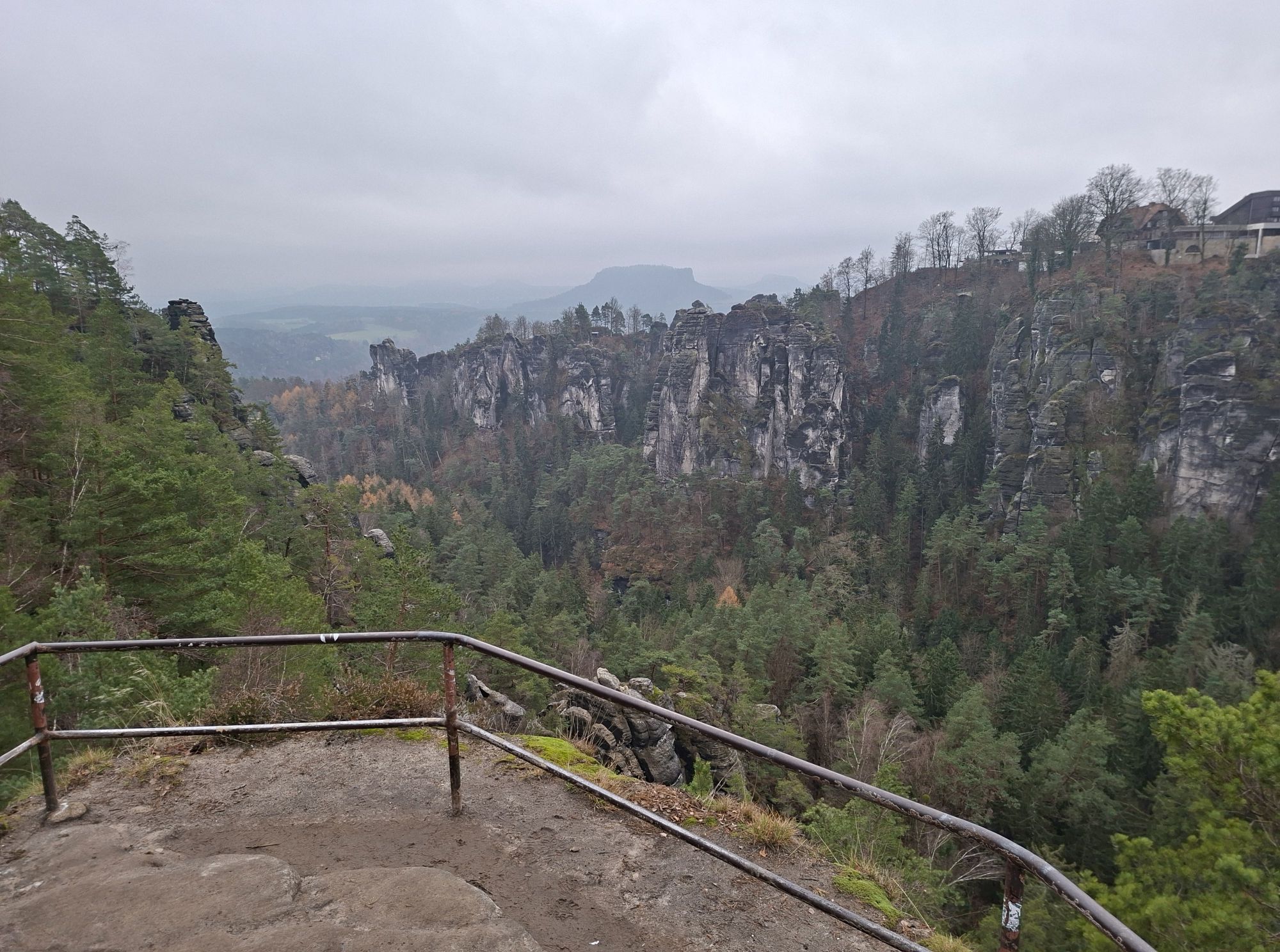
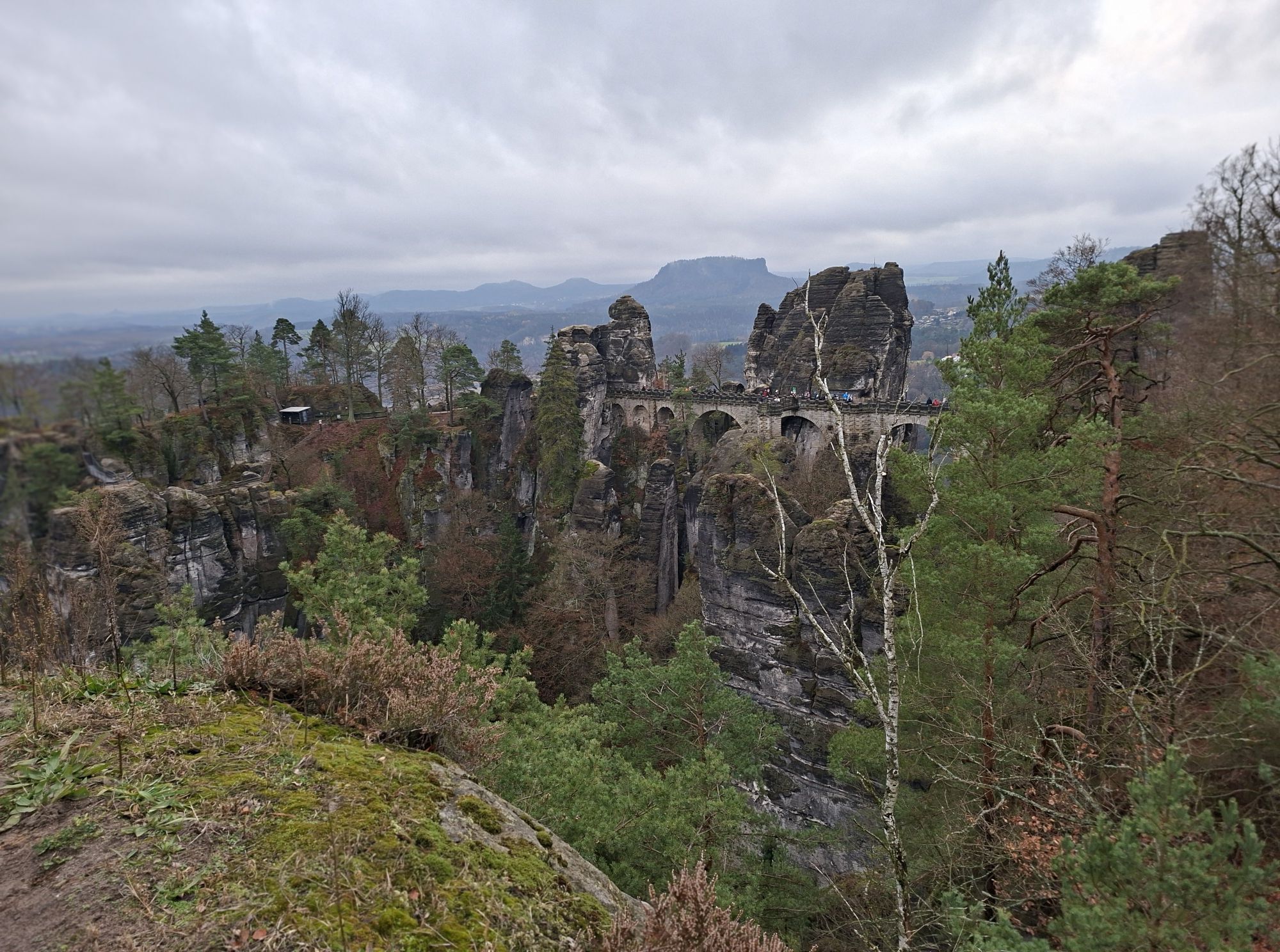

An entrance ticket must be purchased for the tour of Neurathen Castle. Difficult to access, high above the valleys stood medieval rock castles. One of the oldest and largest fortifications in Saxon-Bohemian Switzerland is the double castle of Alt- and Neurathen. It was first mentioned in the 13th century. Traces of the original dwelling and defences can still be found in the rock today - valuable legacies for reconstructing the past. For example, stone balls weighing over 50 kg were fired at attackers with an oversized slingshot.
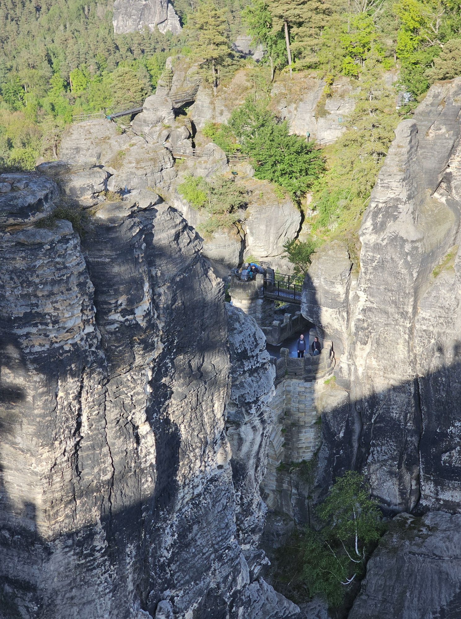
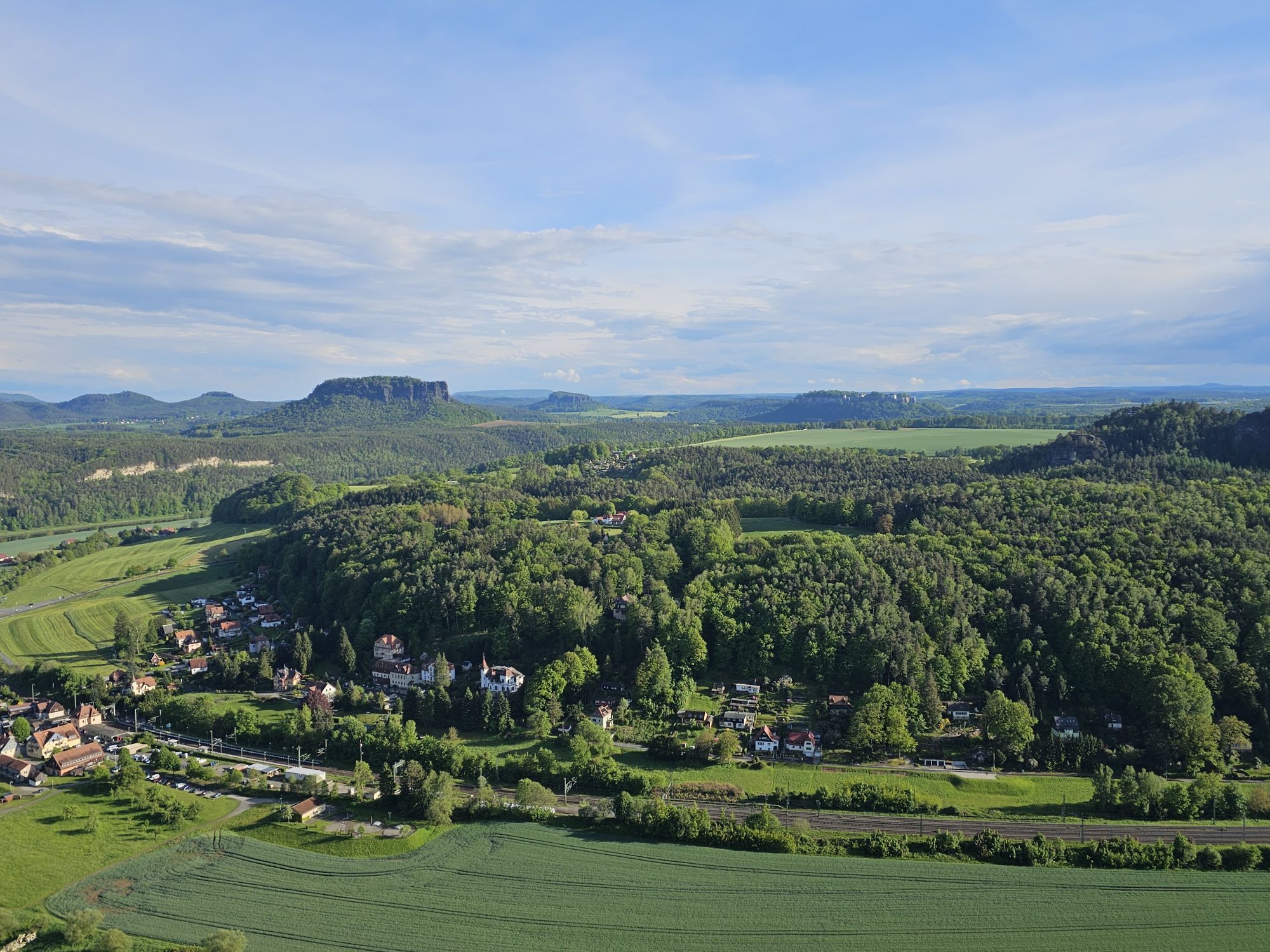
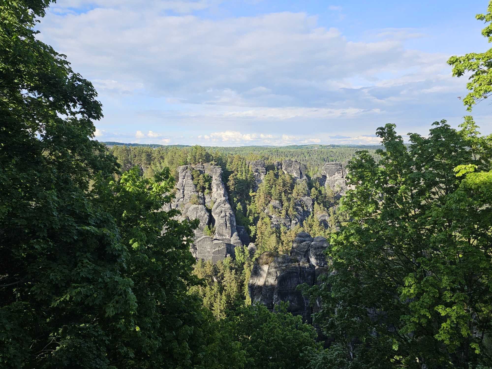
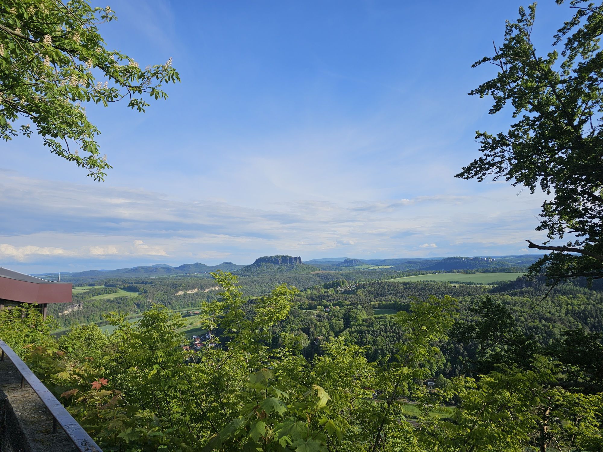
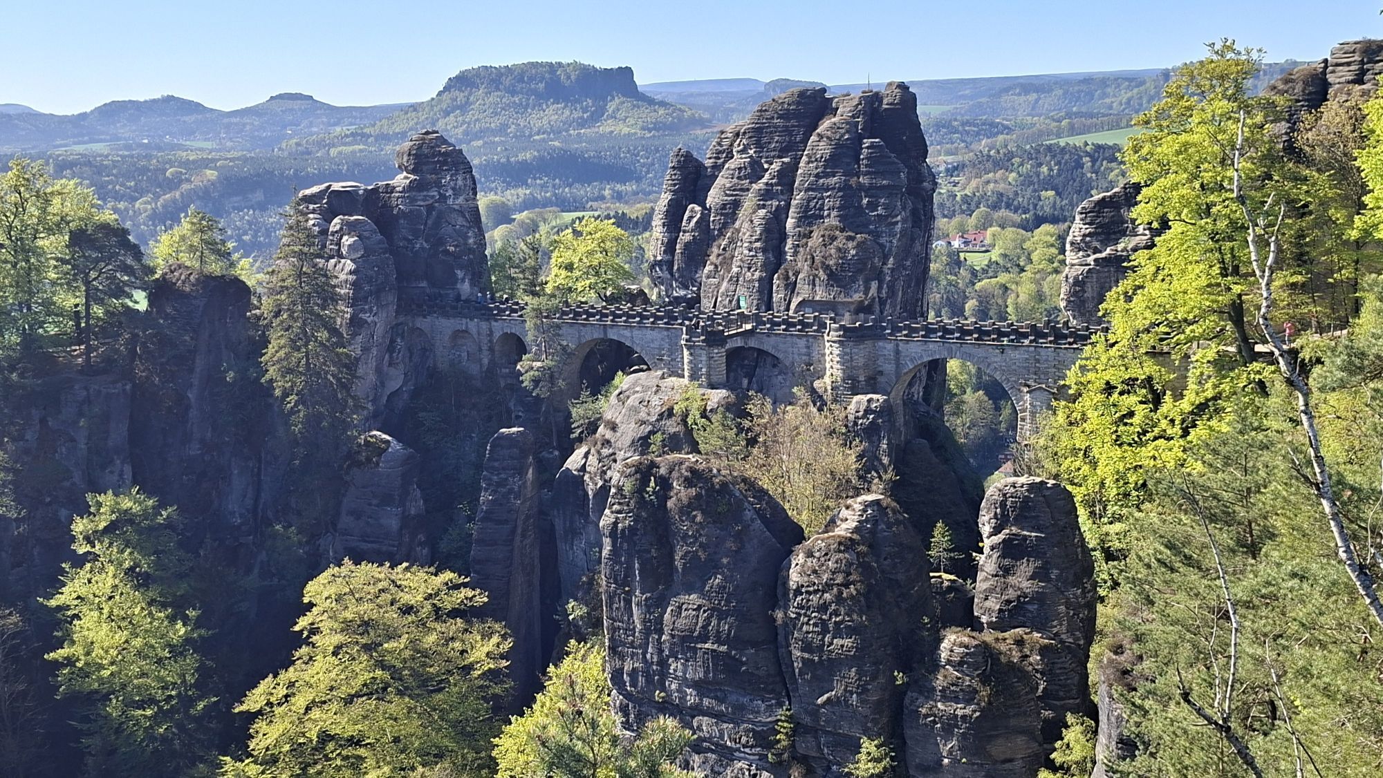
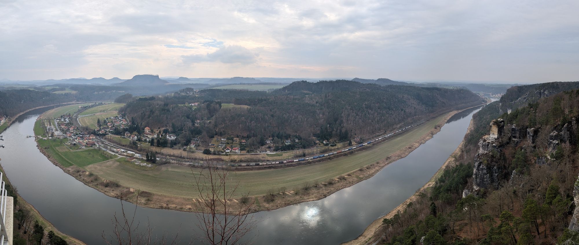
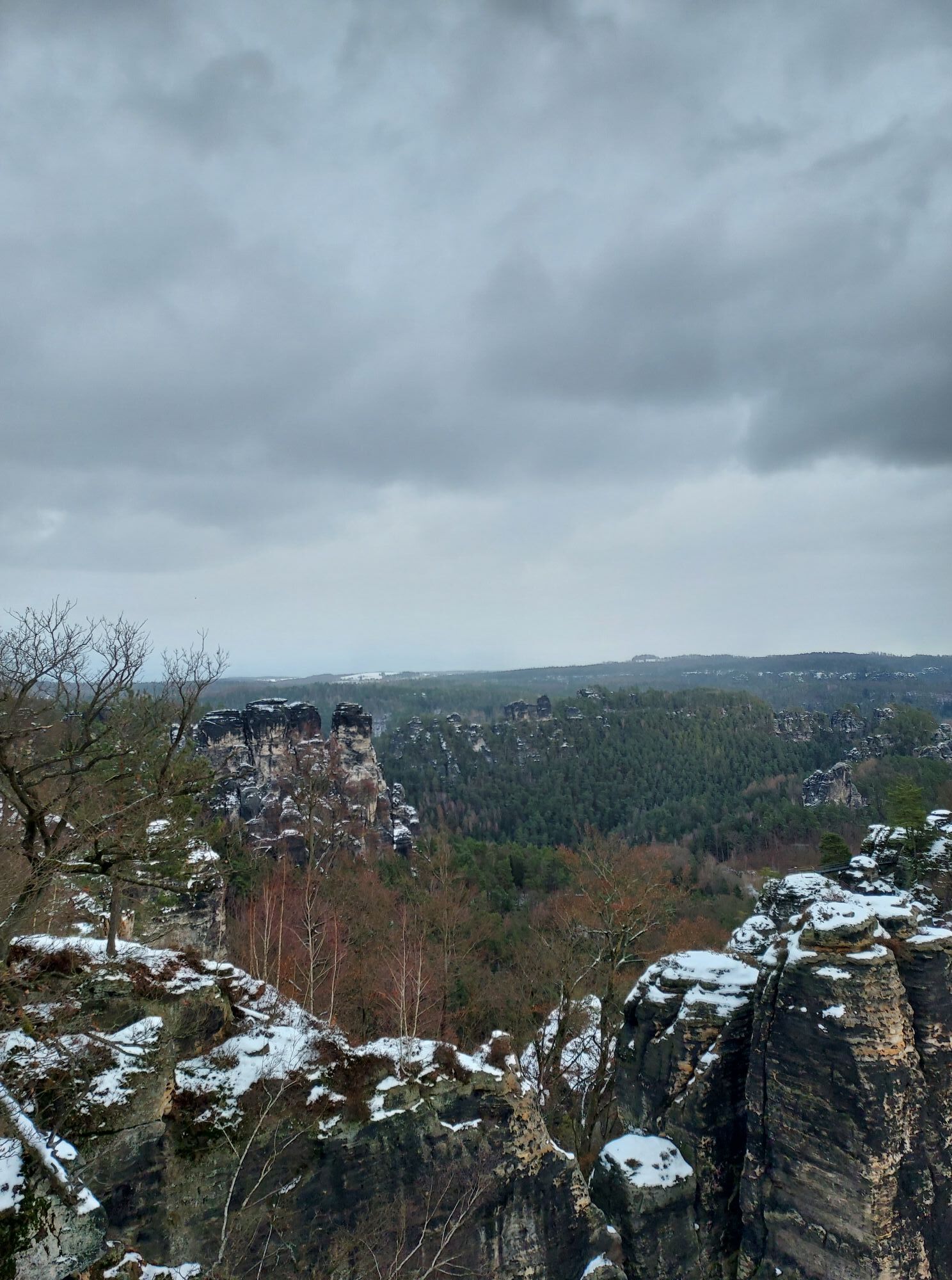
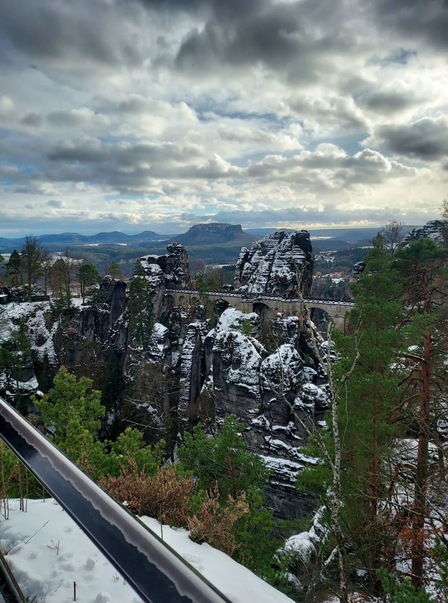
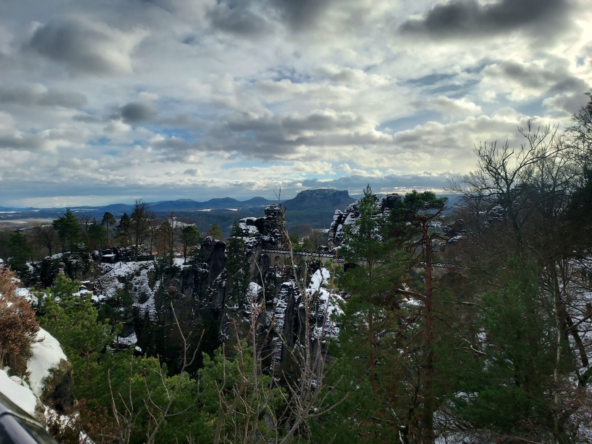
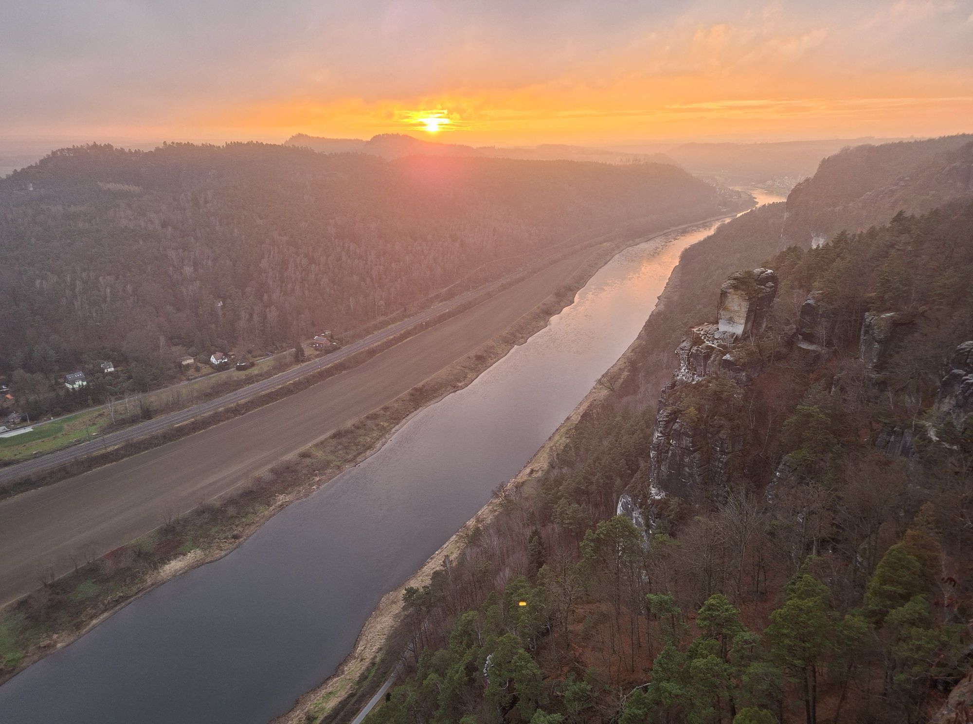
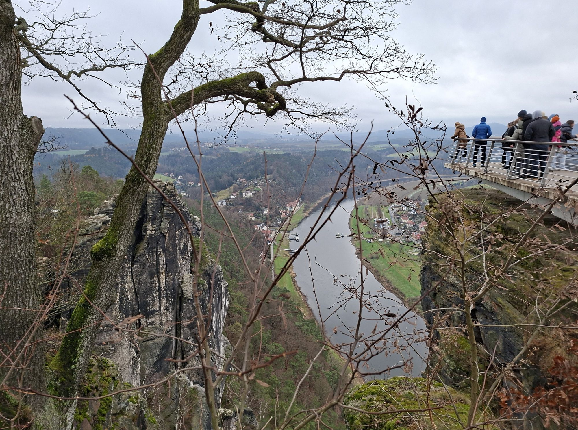
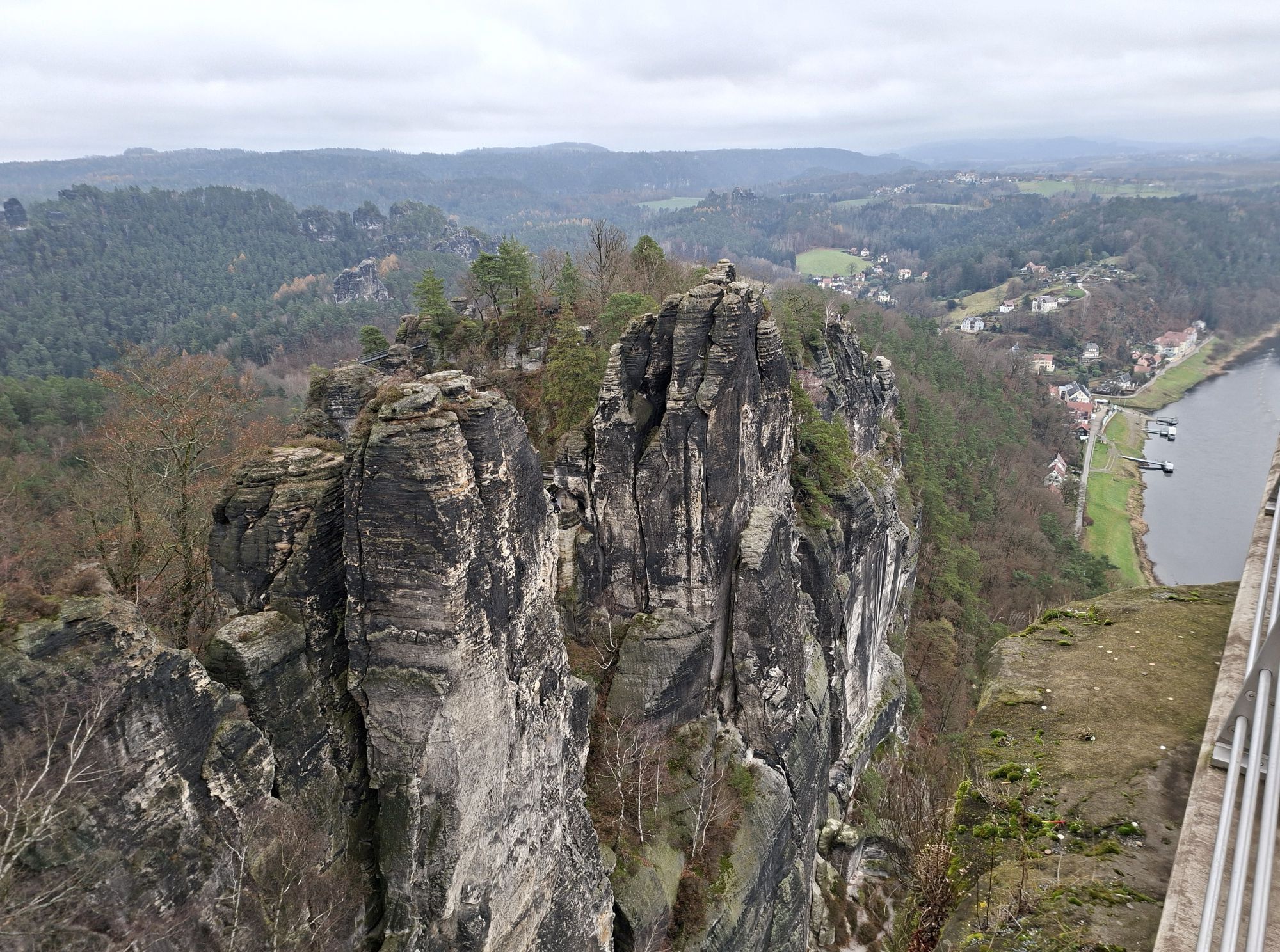
After that, it is only a few metres further, through the rock gate and we stand on the Bastei Bridge, built in 1851. Further along the path there are more views (e.g. Hochzeitskanzel, Ferdinandaussicht) and finally, at the top, the main view. After the 190-metre difference in altitude, we are rewarded by a comprehensive panoramic view: at our feet the famous sandstone cliffs and on the horizon the table mountains south of the Elbe rise. We are not surprised that exactly this location was chosen for the construction of a castle more than 700 years ago!
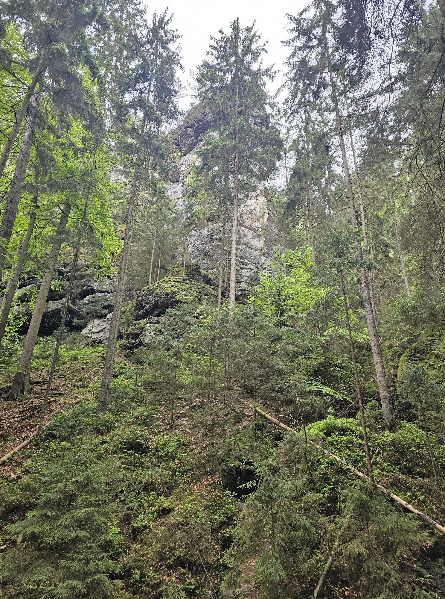
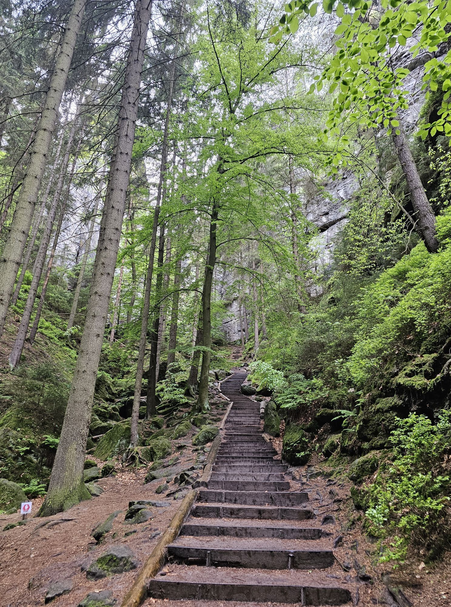
After the main view of the bastion, we continue in the direction of the buildings and follow the blue line marking in the direction of Schwedenlöcher. On the way, it is worth making a detour to the pavilion lookout with a breathtaking view of the Bastei Bridge. Now we descend from the Bastei massif into the deep, wild gorge of the Schwedenlöcher.
After numerous steps we reach the Amselgrund. At the bottom, we turn right (green line), pass Amselsee (where you can rent a boat for a small fee) and return to Rathen.
by S-Bahn to Kurort Rathen
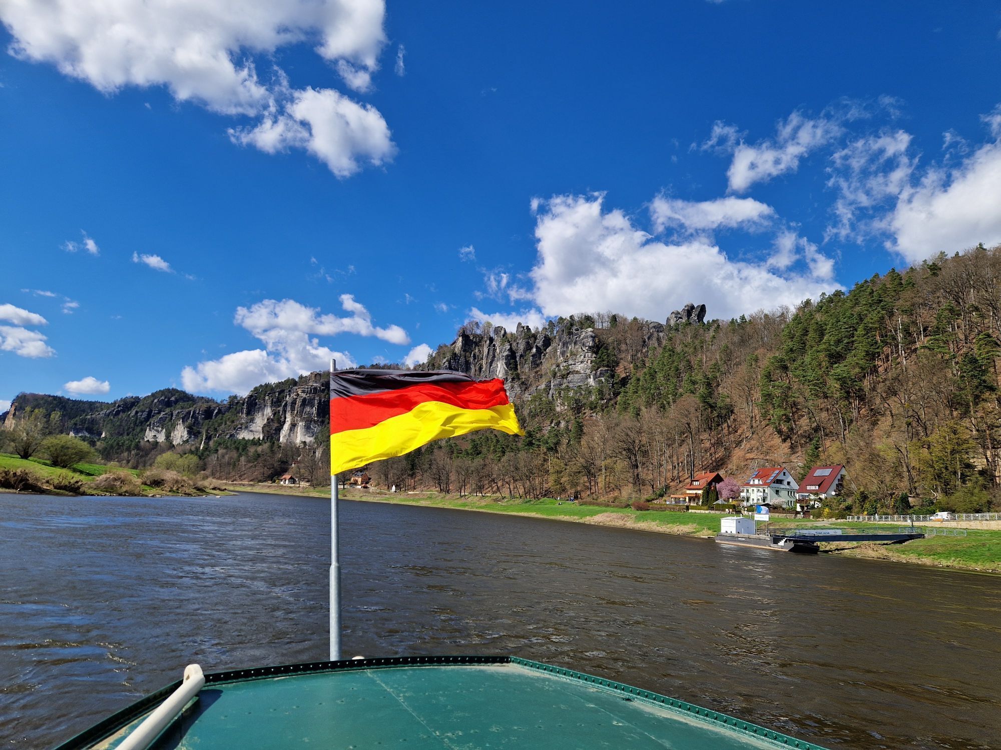
Chargeable car park at the ferry pier in the spa town of Rathen, on the left bank of the river Elbe.
The tour is suitable for sure-footed children, but not for dogs.
 Uzyskaj wgląd
Zawsze na żywo z ponad 9 500 kamer internetowych. bergfex Jako użytkownik Pro, możesz teraz zobaczyć odpowiednie kamery internetowe dla wielu wycieczek w aplikacji wycieczki od. Pozwala to na bezpośredni podgląd aktualnych warunków.
Uzyskaj wgląd
Zawsze na żywo z ponad 9 500 kamer internetowych. bergfex Jako użytkownik Pro, możesz teraz zobaczyć odpowiednie kamery internetowe dla wielu wycieczek w aplikacji wycieczki od. Pozwala to na bezpośredni podgląd aktualnych warunków.
Aktywności na trasie
-

Kurort Rathen, Sachsen/Deutschland
18.07.2026 – Wędrówka -
Kurort Rathen, Sachsen/Deutschland
16.07.2026 – Wędrówka -
Lohmen, Sachsen/Deutschland
06.07.2026 – Wędrówka -

Kurort Rathen, Sachsen/Deutschland
04.07.2026 – Wędrówka -

Kurort Rathen, Sachsen/Deutschland
26.06.2026 – Wędrówka -

Vorderer Gansfelsen, Sachsen/Deutschland
10.06.2026 – Wędrówka -

Kurort Rathen, Sachsen/Deutschland
07.06.2026 – Wędrówka -

Hinterer Gansfelsen, Sachsen/Deutschland
04.06.2026 – Wędrówka -

Lohmen, Sachsen/Deutschland
03.06.2026 – Wędrówka -
Gansscheibe, Sachsen/Deutschland
02.06.2026 – Wędrówka -

Raaber Säule, Sachsen/Deutschland
02.06.2026 – Wędrówka -

Kurort Rathen, Sachsen/Deutschland
29.05.2026 – Wędrówka -
Lohmen, Sachsen/Deutschland
28.05.2026 – Wycieczka narciarska -
Kurort Rathen, Sachsen/Deutschland
28.05.2026 – Wędrówka -
Kurort Rathen, Sachsen/Deutschland
24.05.2026 – Wędrówka -
Kurort Rathen, Sachsen/Deutschland
20.05.2026 – Wędrówka -

Rathen, Sachsen/Deutschland
20.05.2026 – Wędrówka -
Lohmen, Sachsen/Deutschland
16.05.2026 – Wędrówka -


Lohmen, Sachsen/Deutschland
15.05.2026 – Wędrówka -

Kurort Rathen, Sachsen/Deutschland
07.05.2026 – Wędrówka
Popularne wycieczki w okolicy
-
4,7
Rathen / Hockstein / Bastei / Rathen
średniWędrówka 14,4 km -
4,6
Von Rathewalde zur Bastei
Wędrówka 12,8 km -
4,7
Rundwanderung Bastei Schwendenlöcher -Amselsee
światłoWędrówka 6,21 km -
4,5
Kuhstall, Himmelsleiter und Schneiderloch
średniWędrówka 4,06 km -
4,7
Pfaffenstein Sachsen/Deutschland
średniWędrówka 3,89 km -
5,0
Basteibrücke
światłoWędrówka 2,31 km -
5,0
Lilienstein
światłoWędrówka 3,75 km -
4,9
entlang der Schrammsteine, Breite Kluft, Affenwand
średniWędrówka 11,6 km -
4,4
Kurort Rathen: Große Bastei-Runde
średniWędrówka zimą 4,75 km -
4,8
Bad Schandau, Schrammsteinrunde
średniWędrówka 11,0 km
Wędrówki i tropienie


Nie przegap ofert i inspiracji na następne wakacje
Twój adres e-mail została dodana do listy mailingowej.





