






From Porschdorf through the Polenz Valley to Rathen
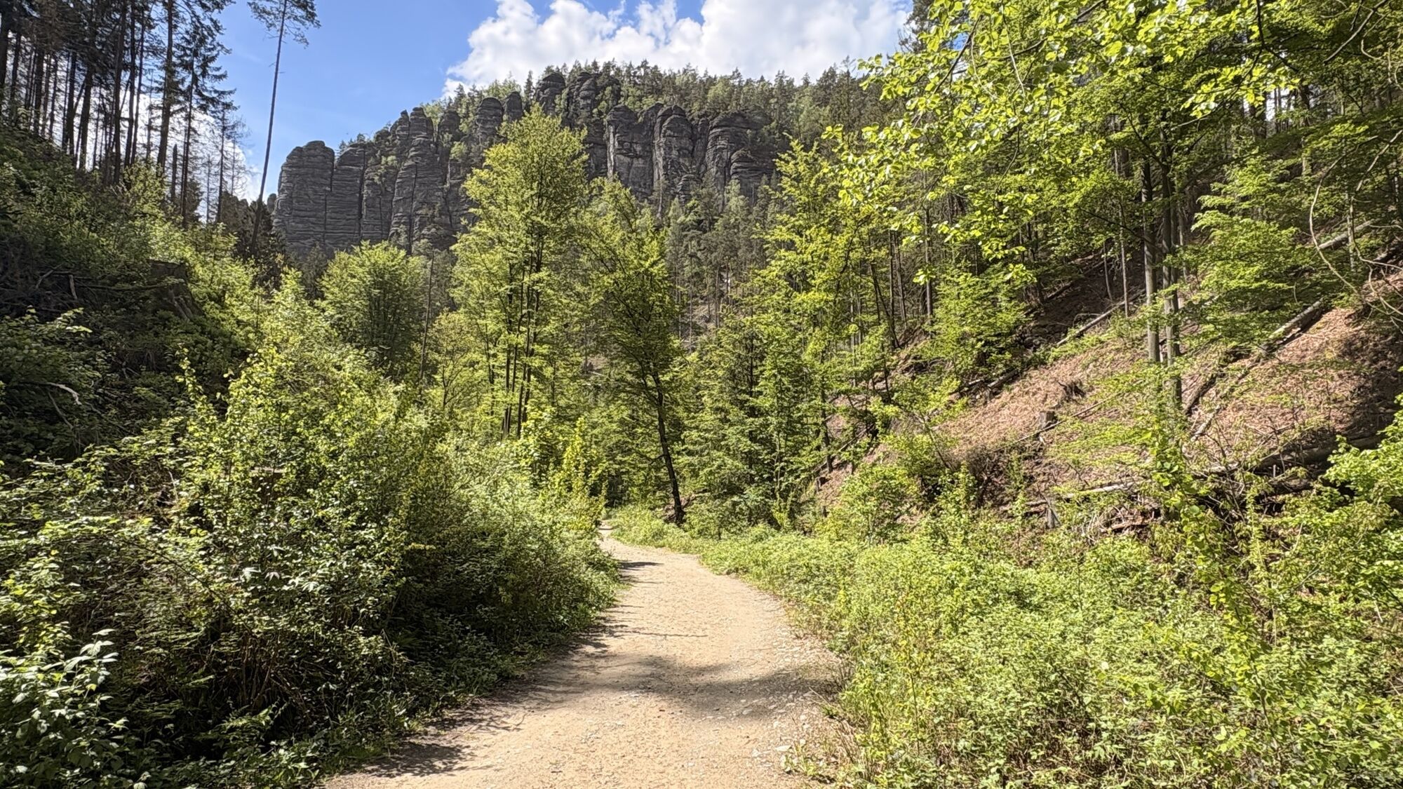
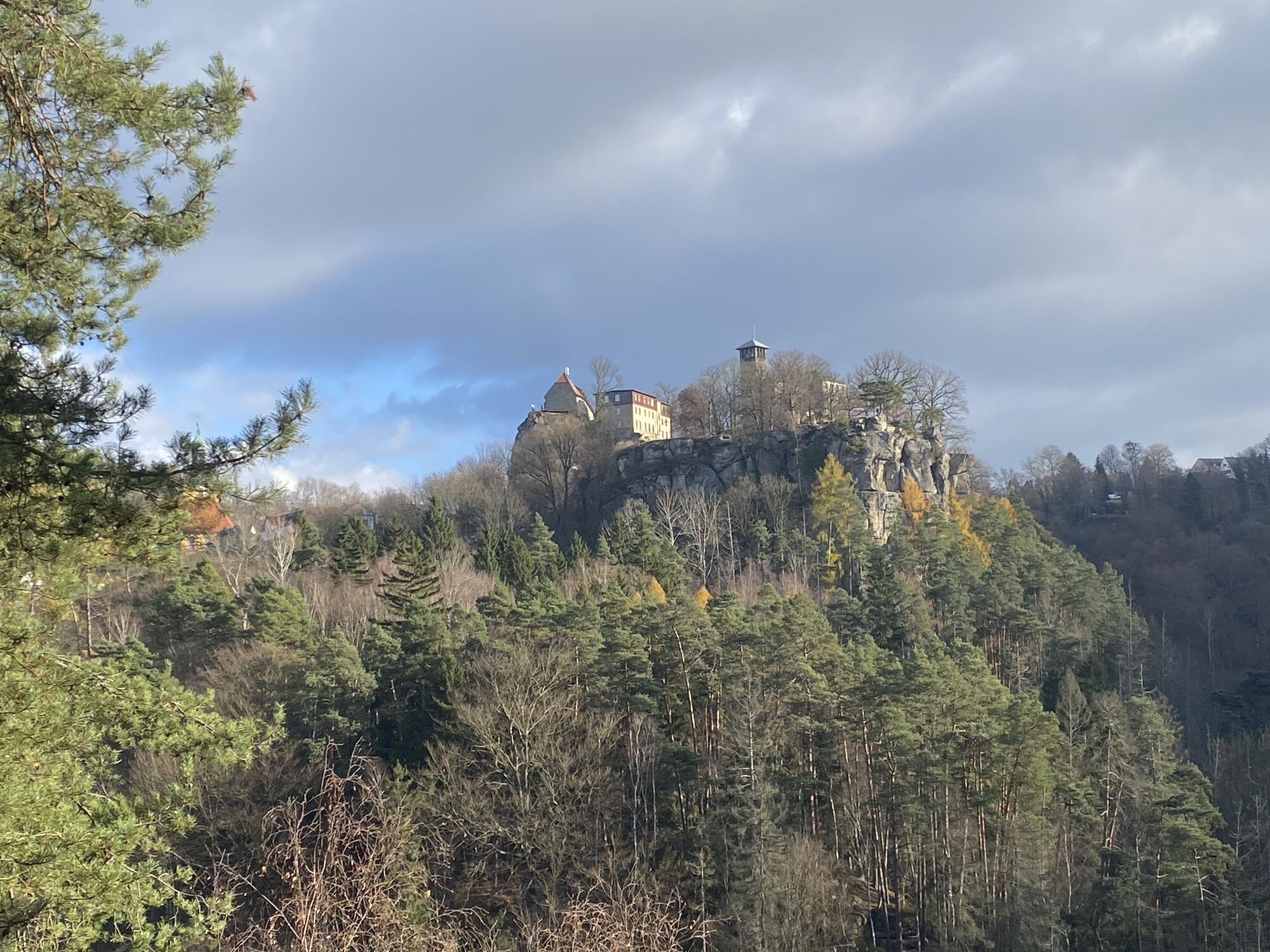
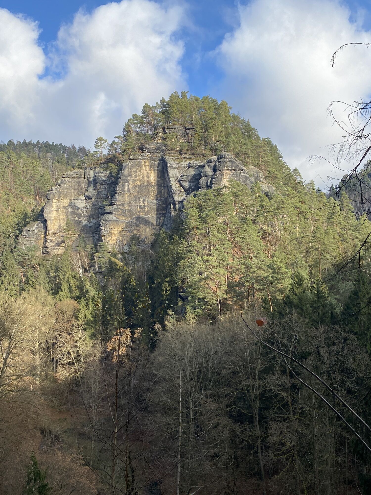
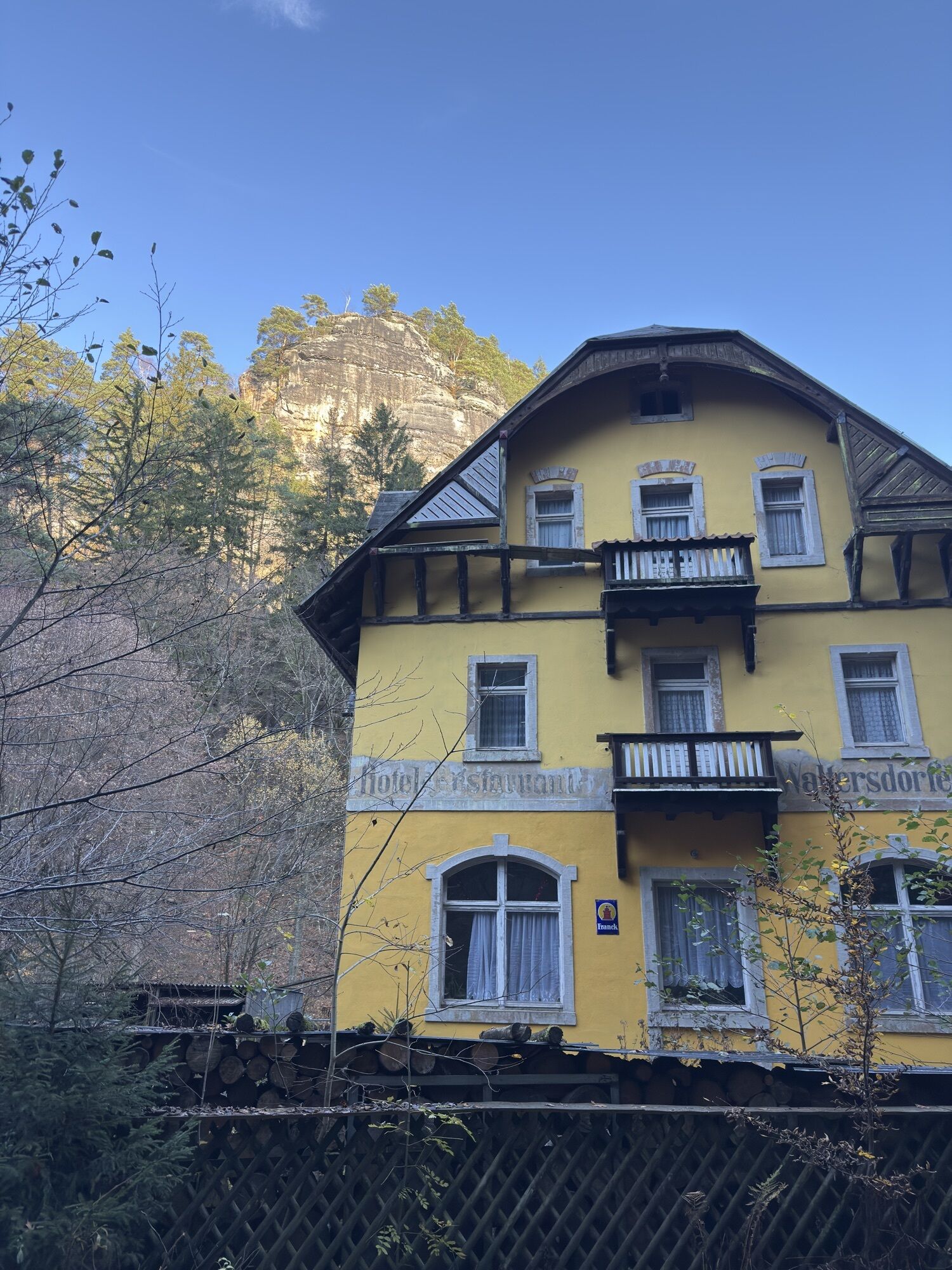
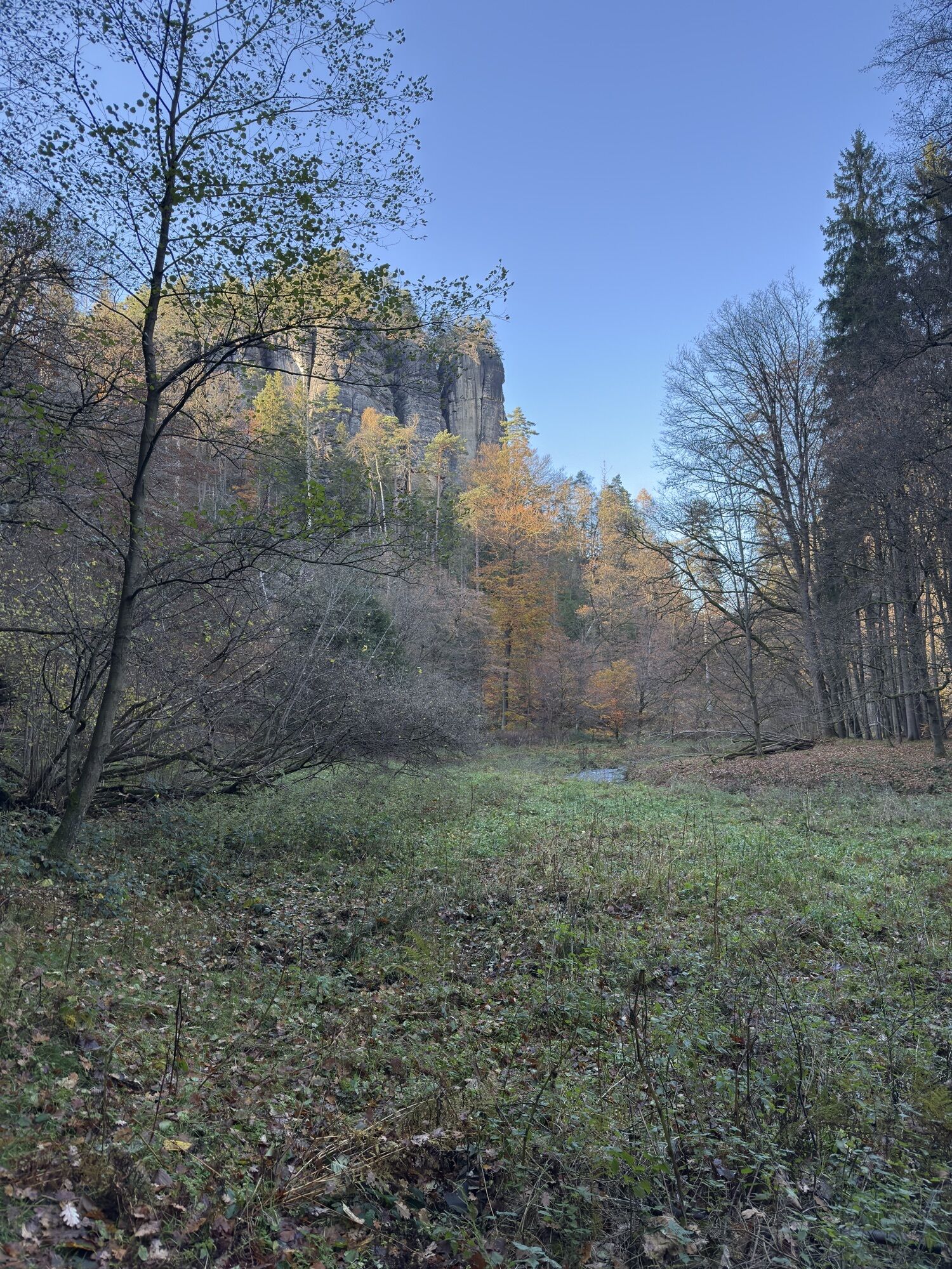
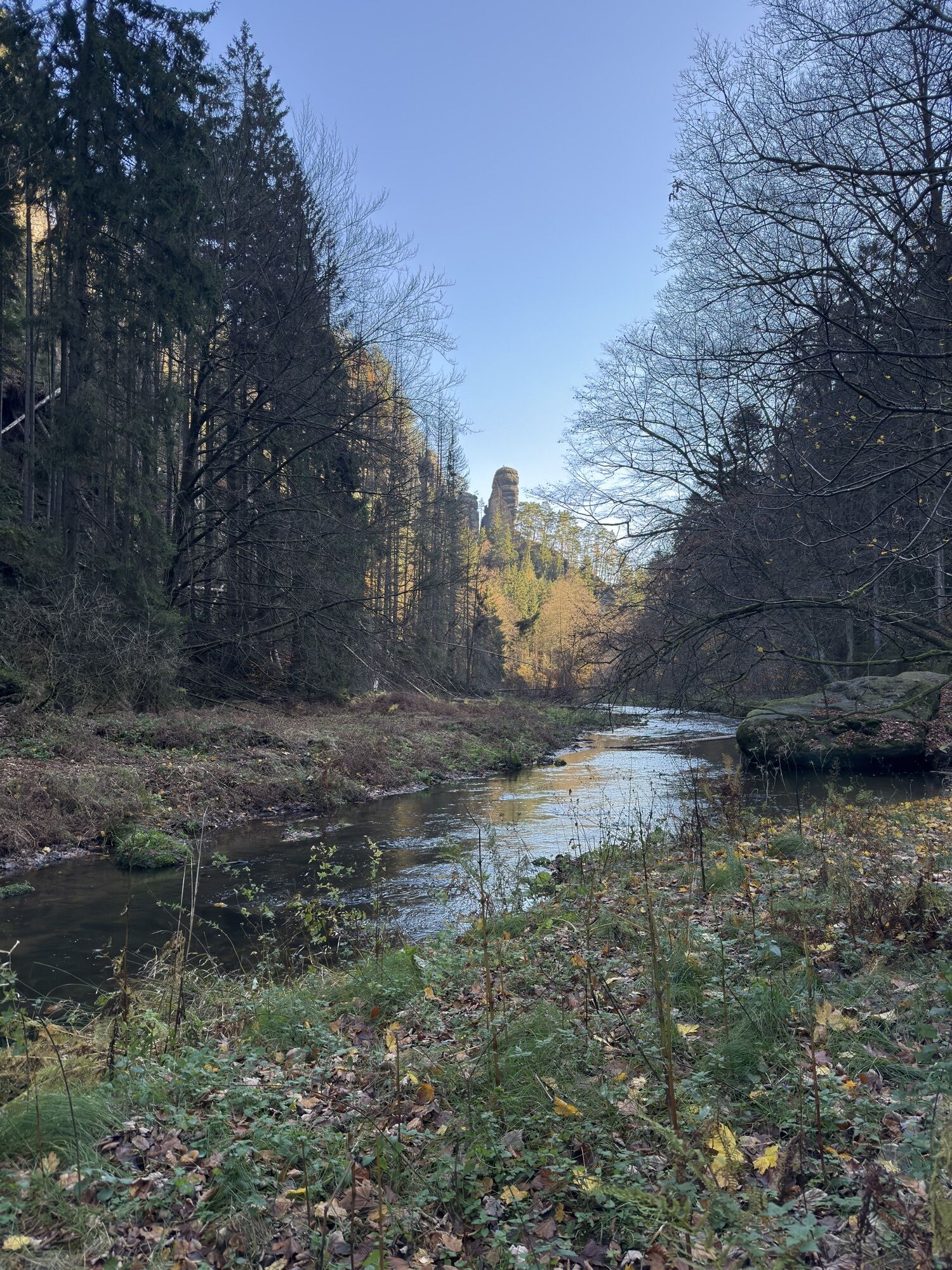
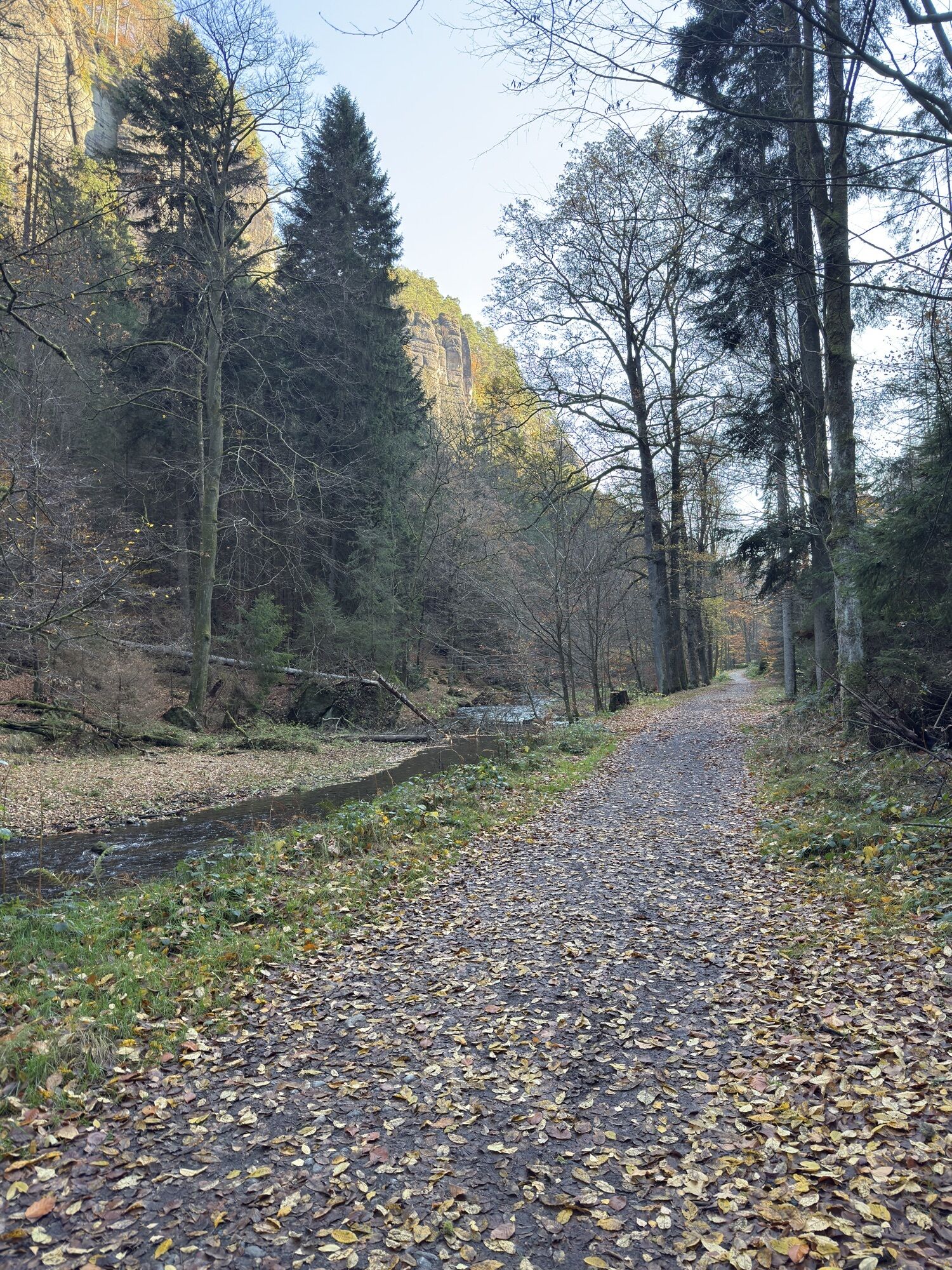


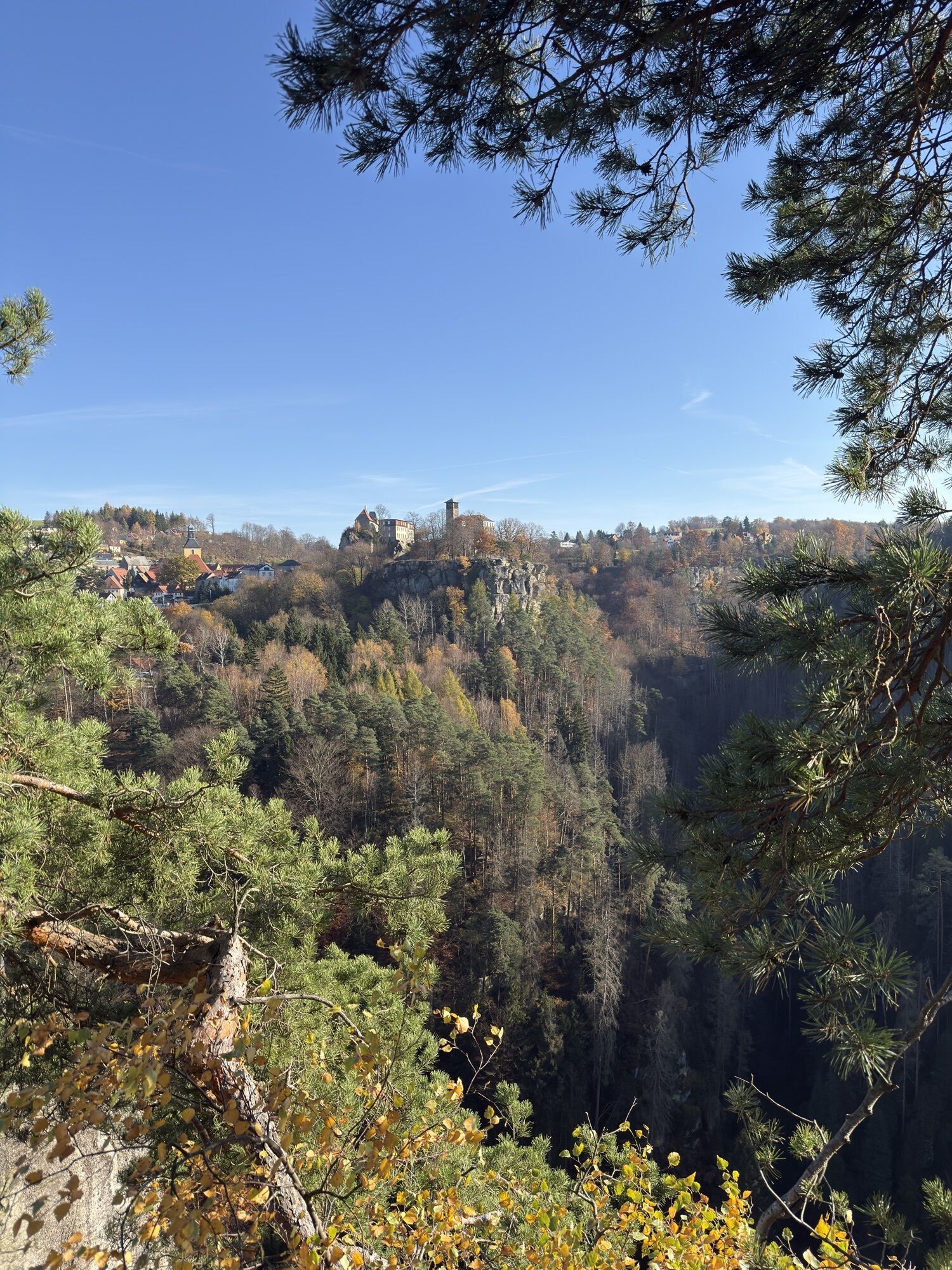
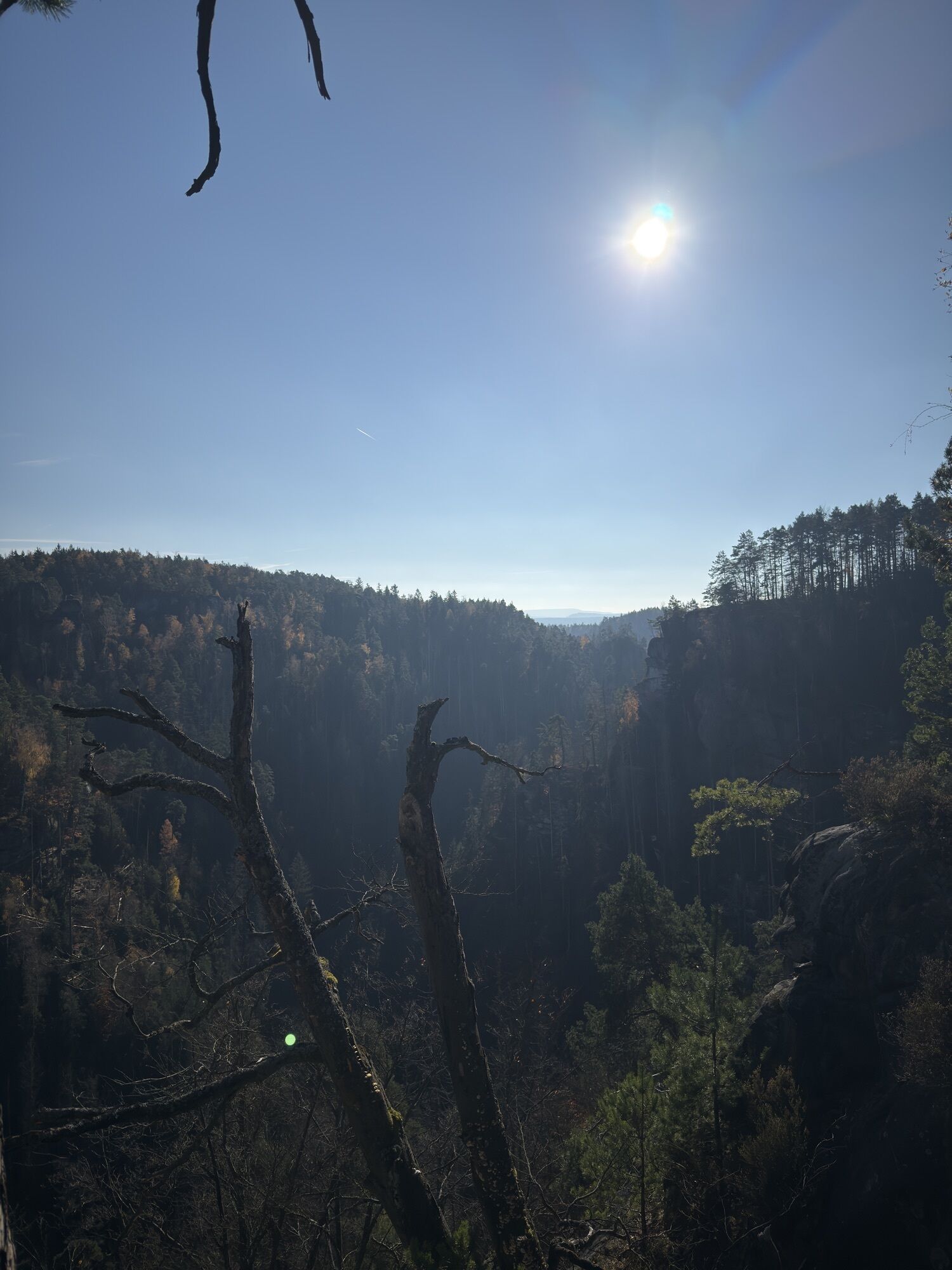
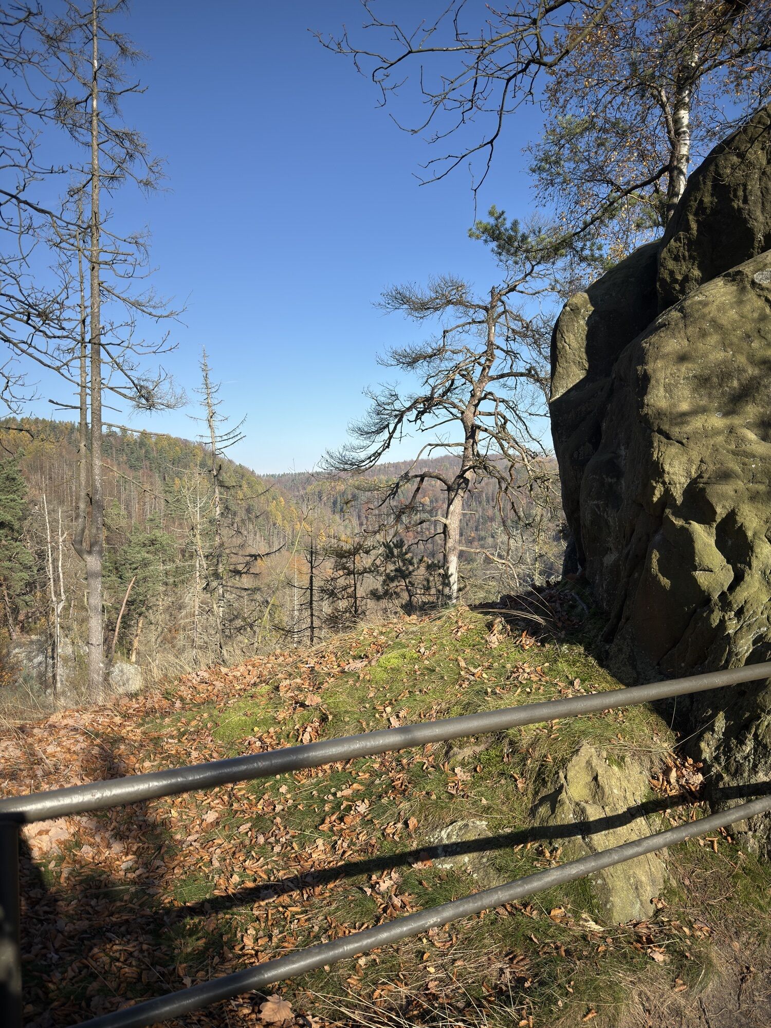
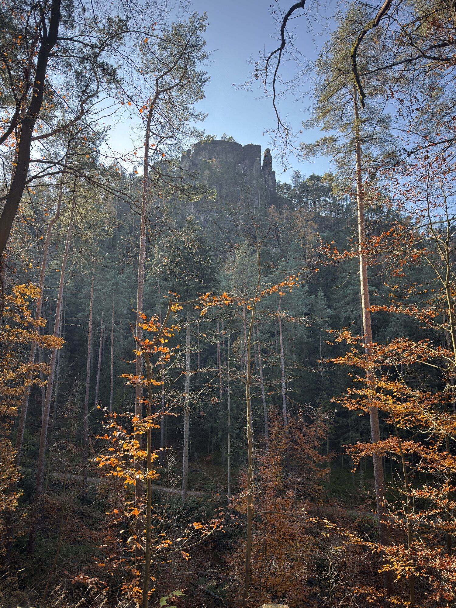
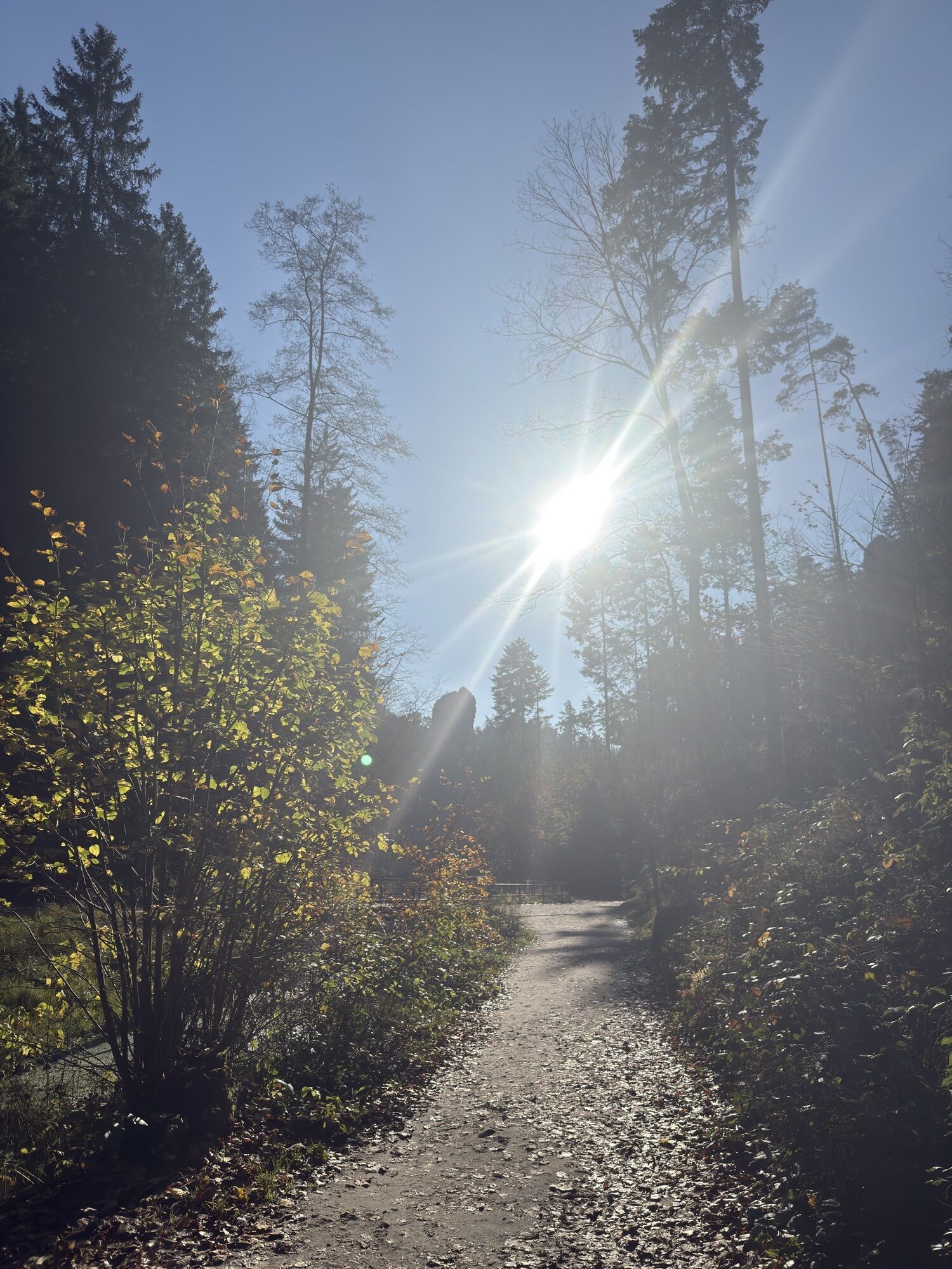
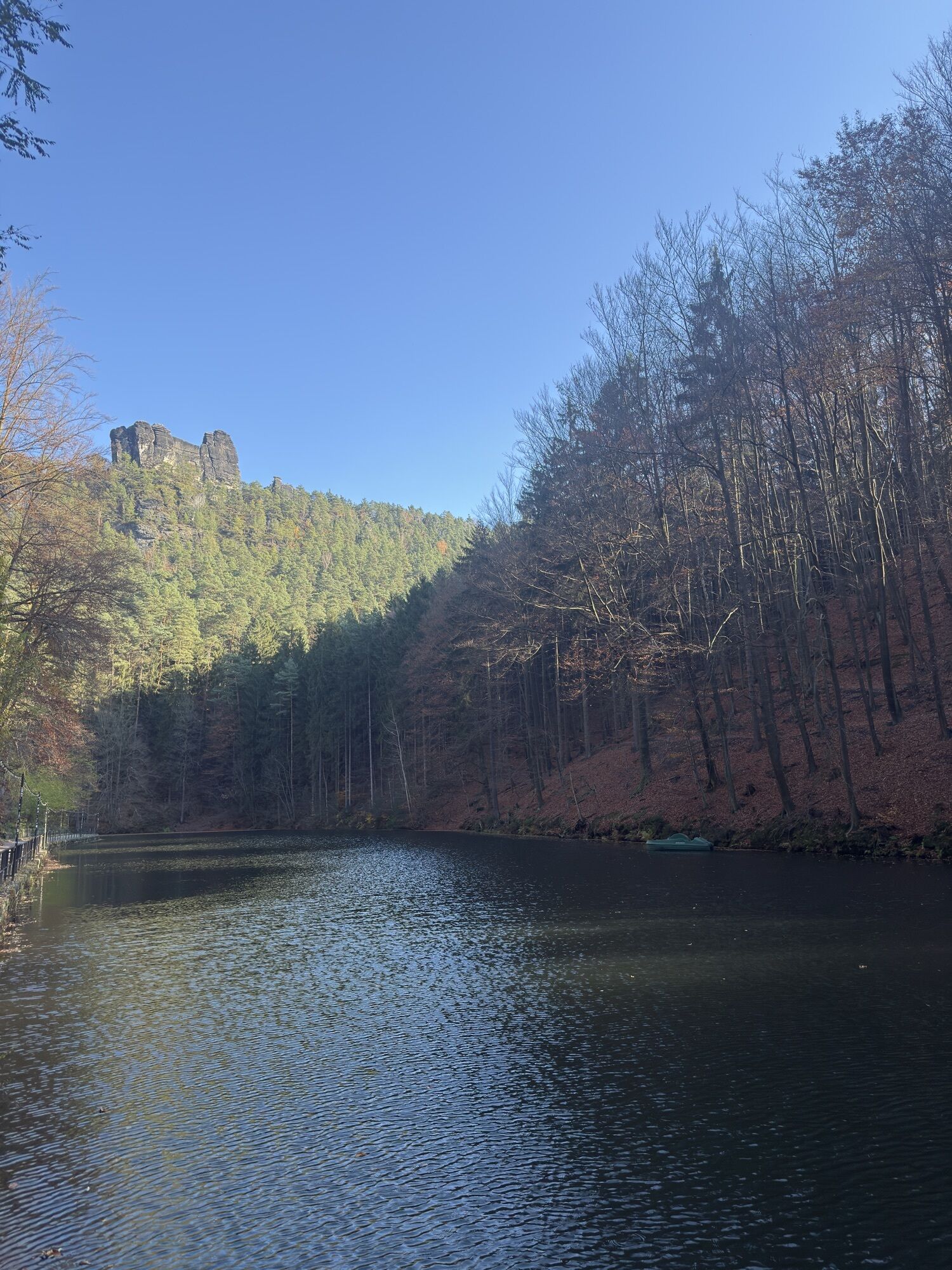
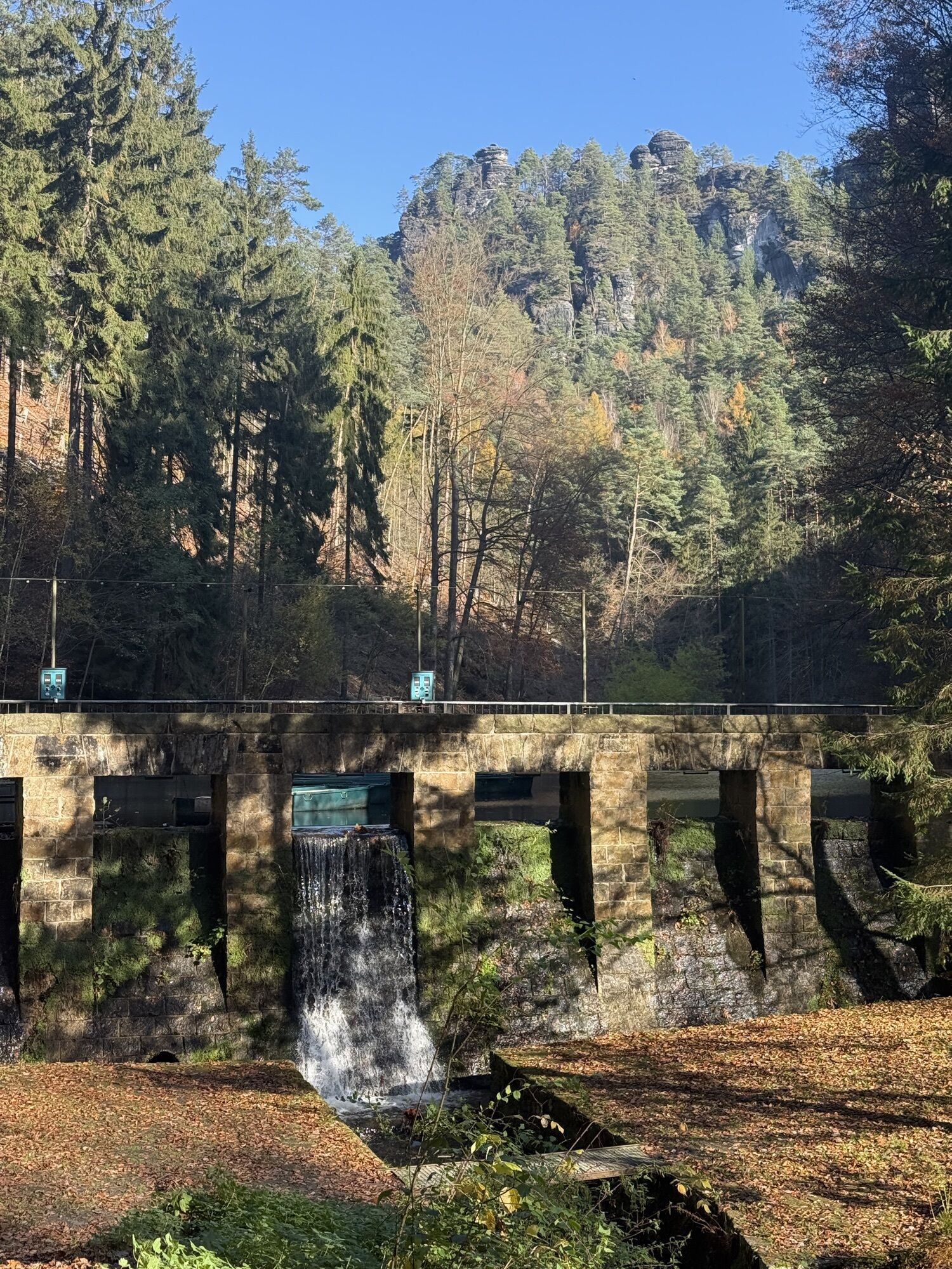
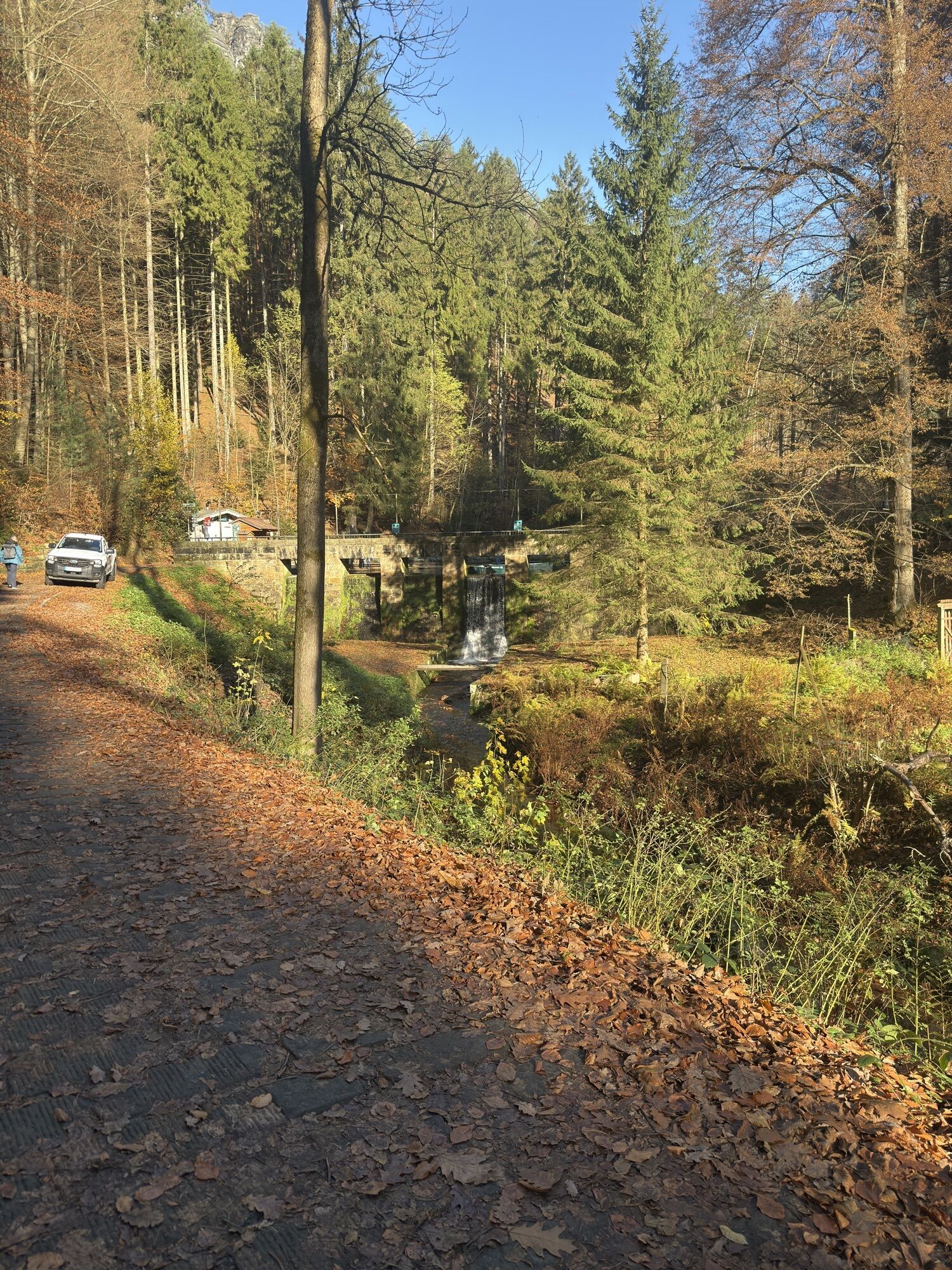
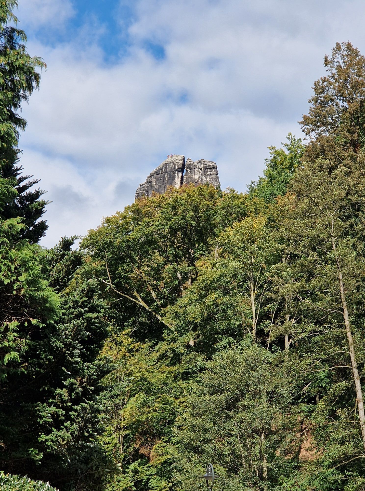
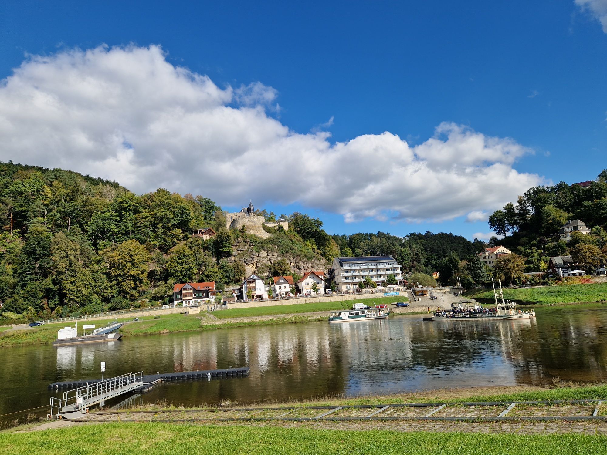
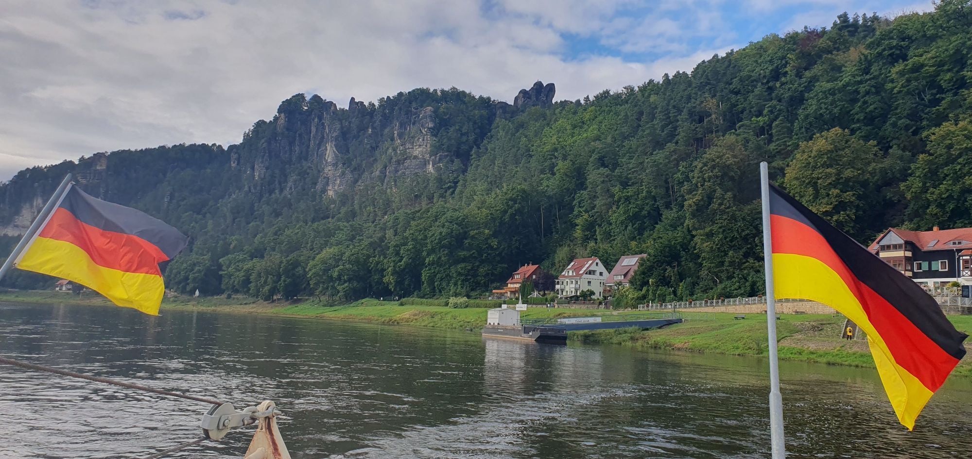
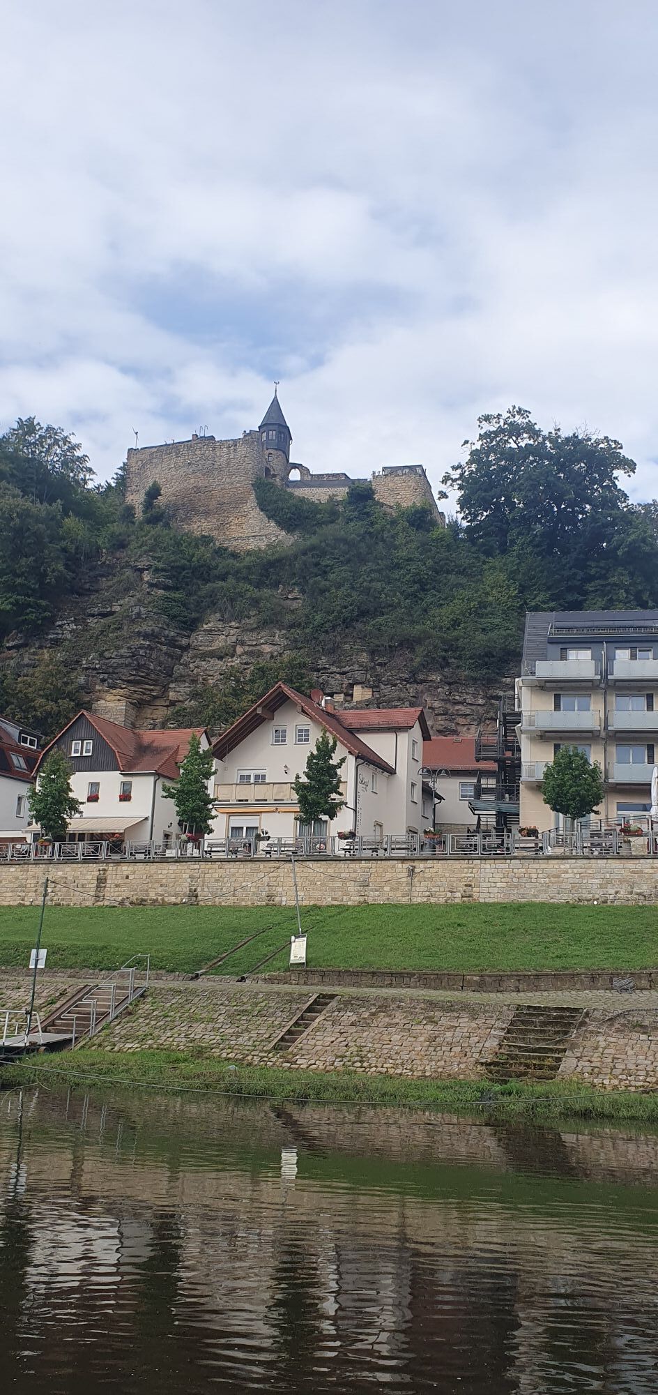
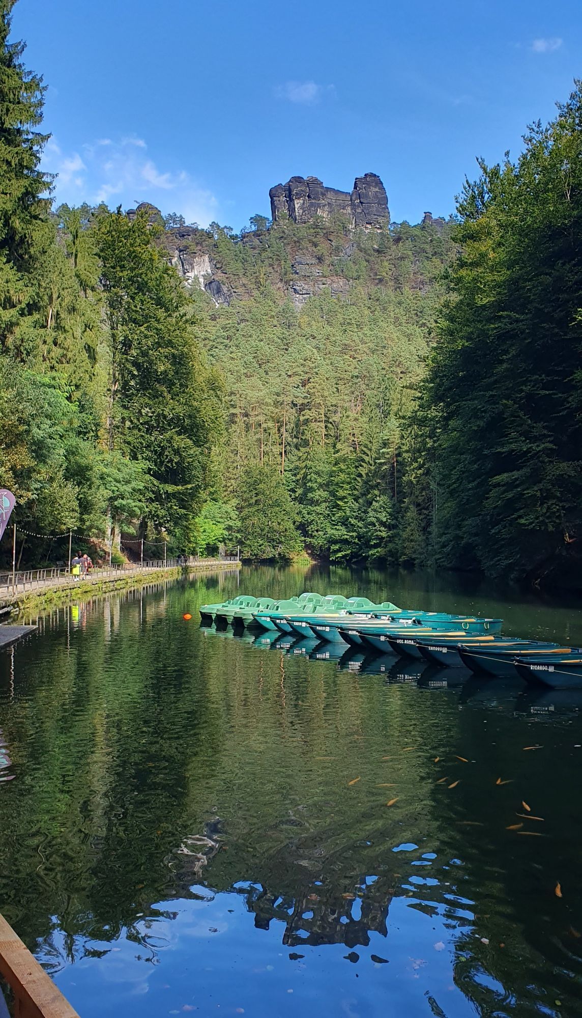
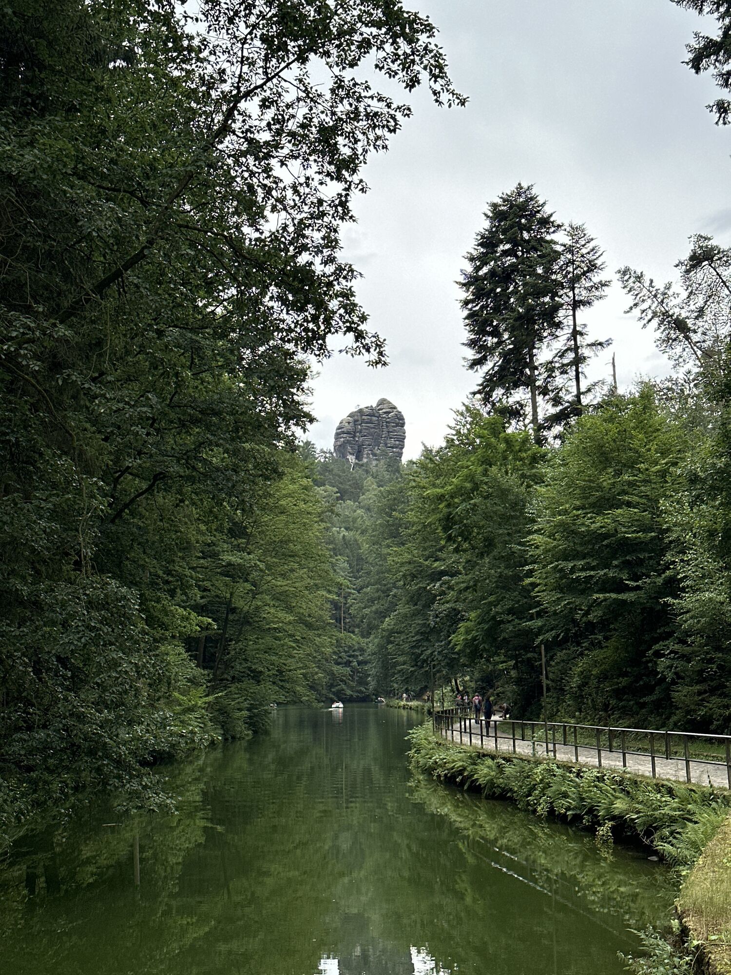
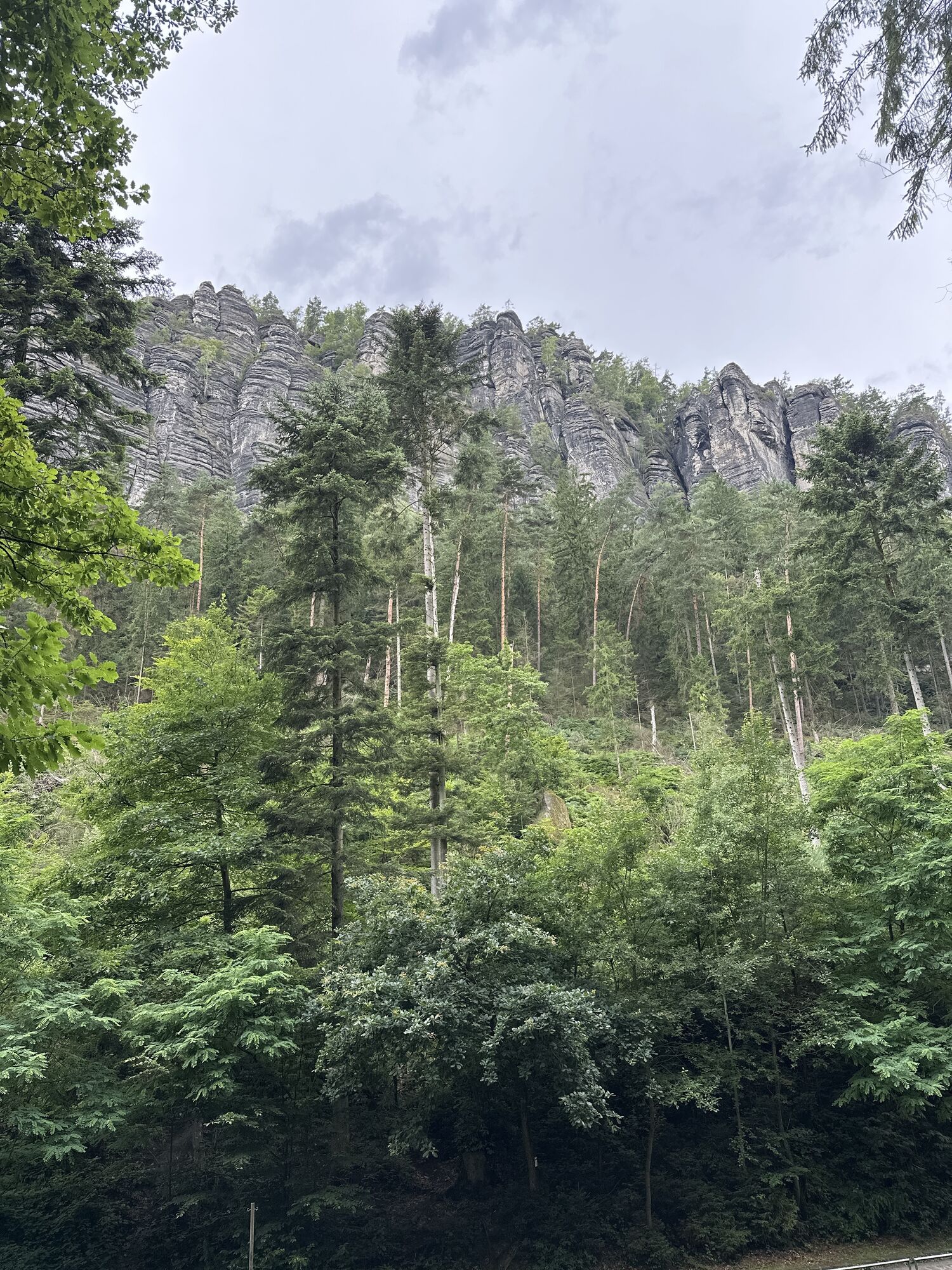
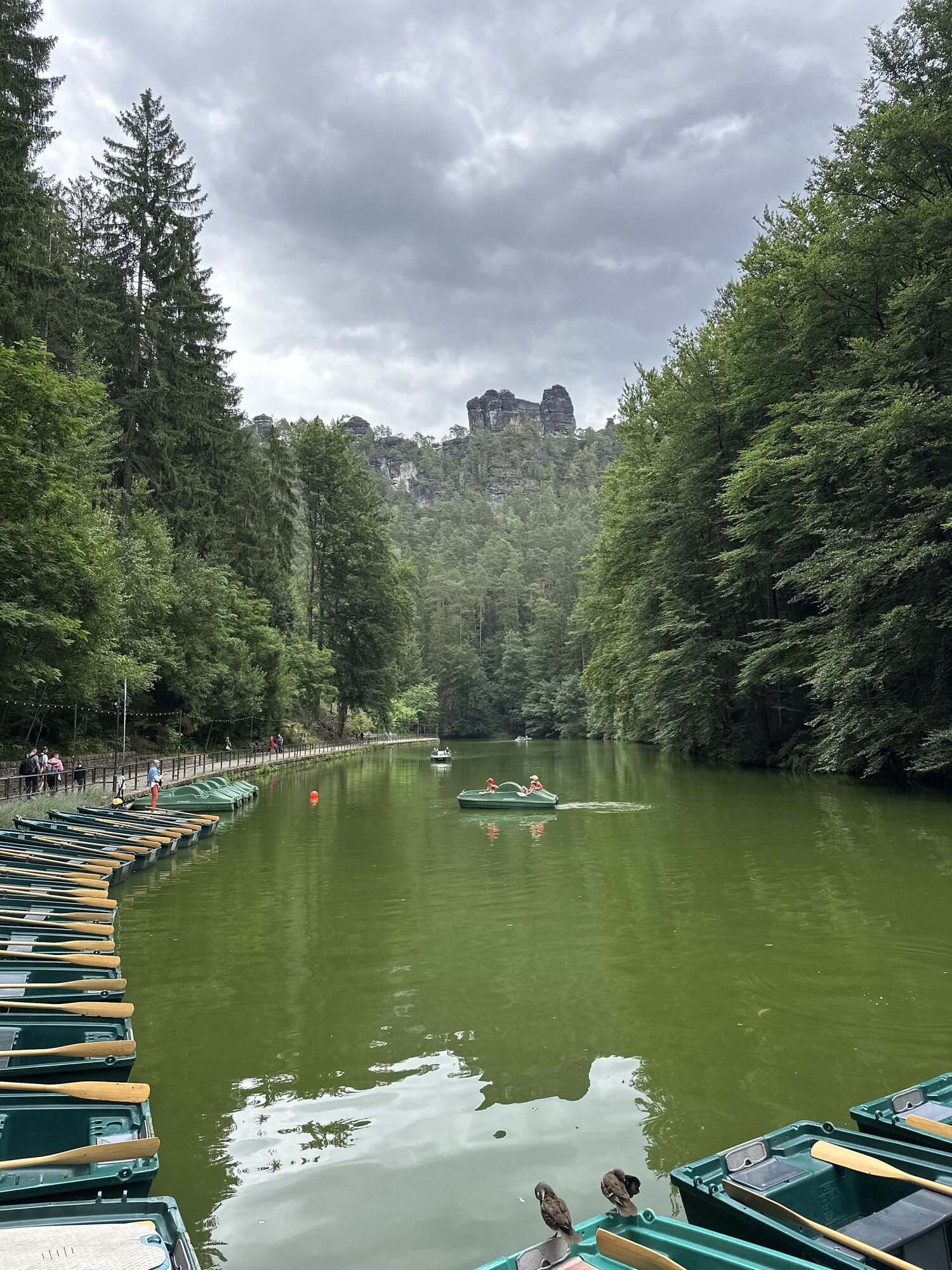
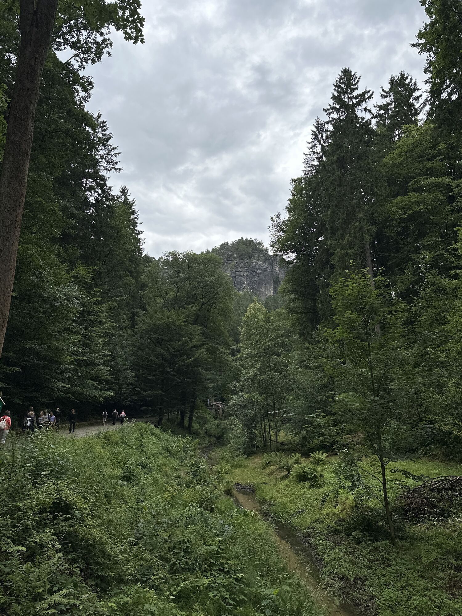
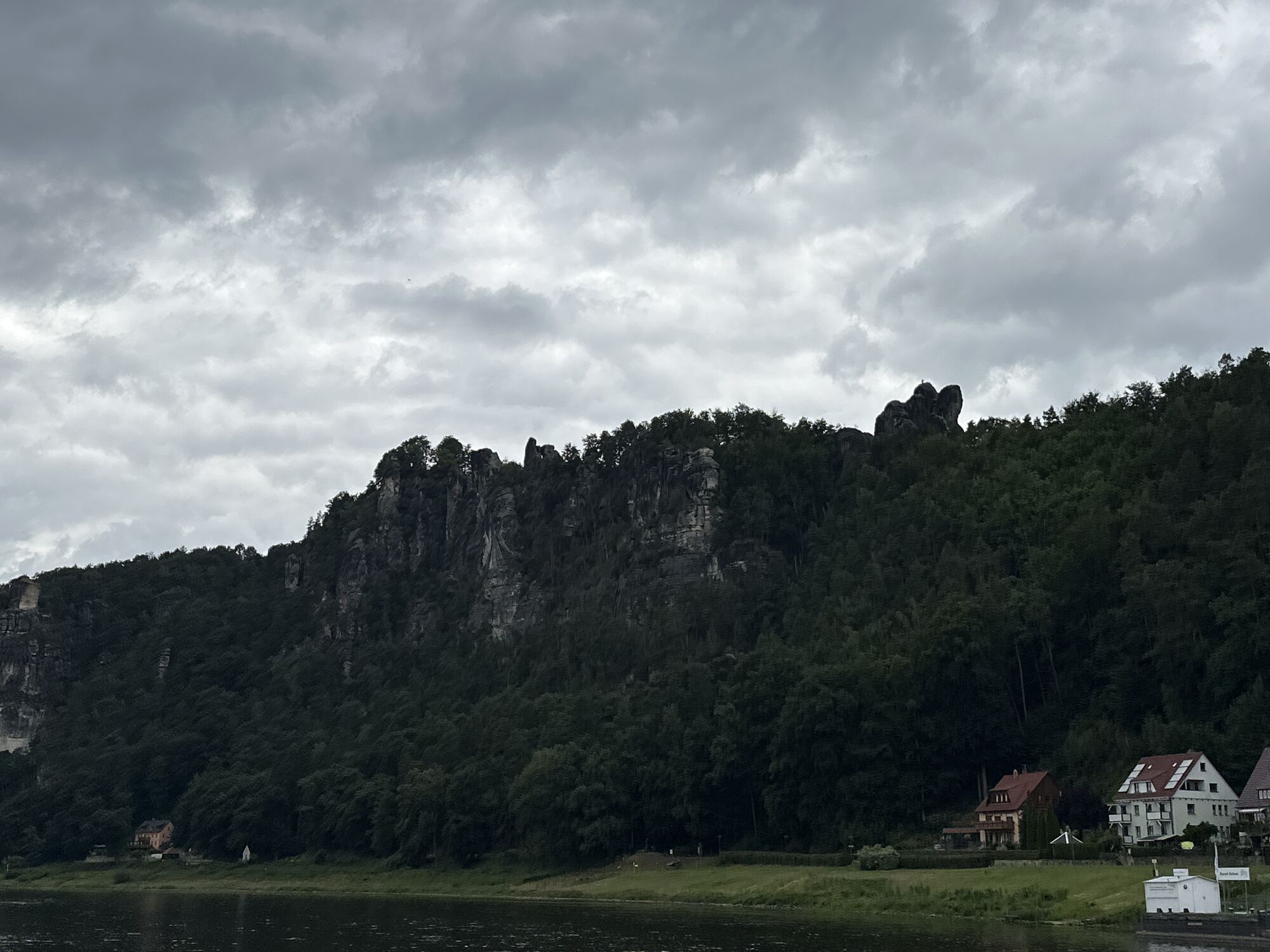
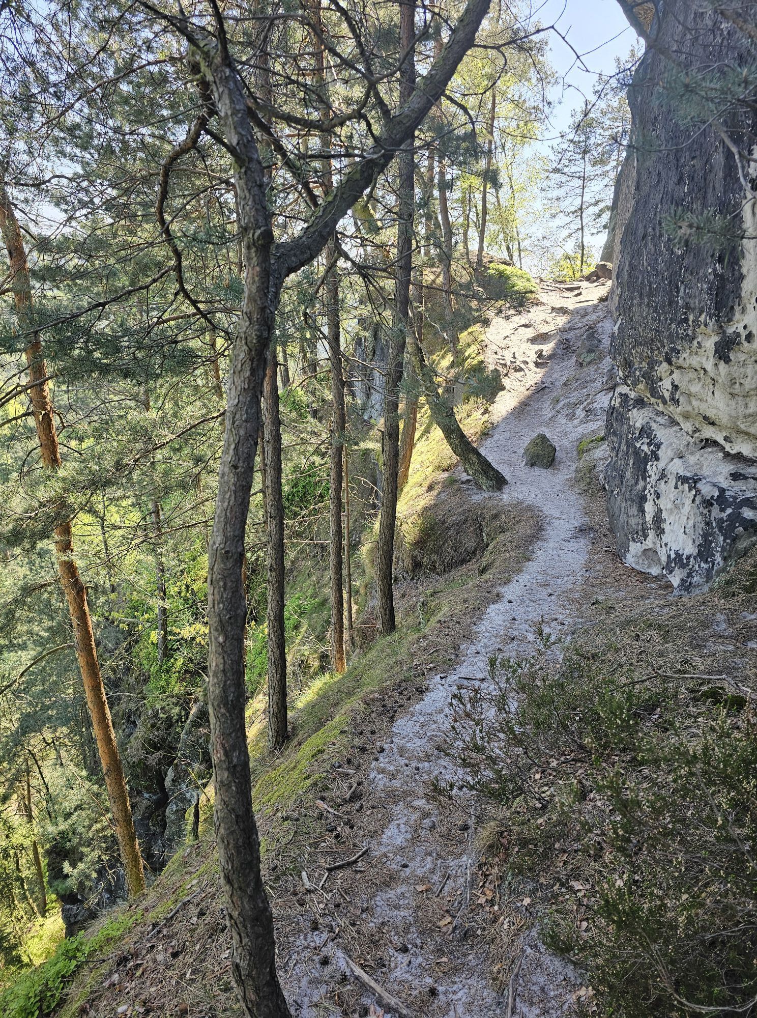
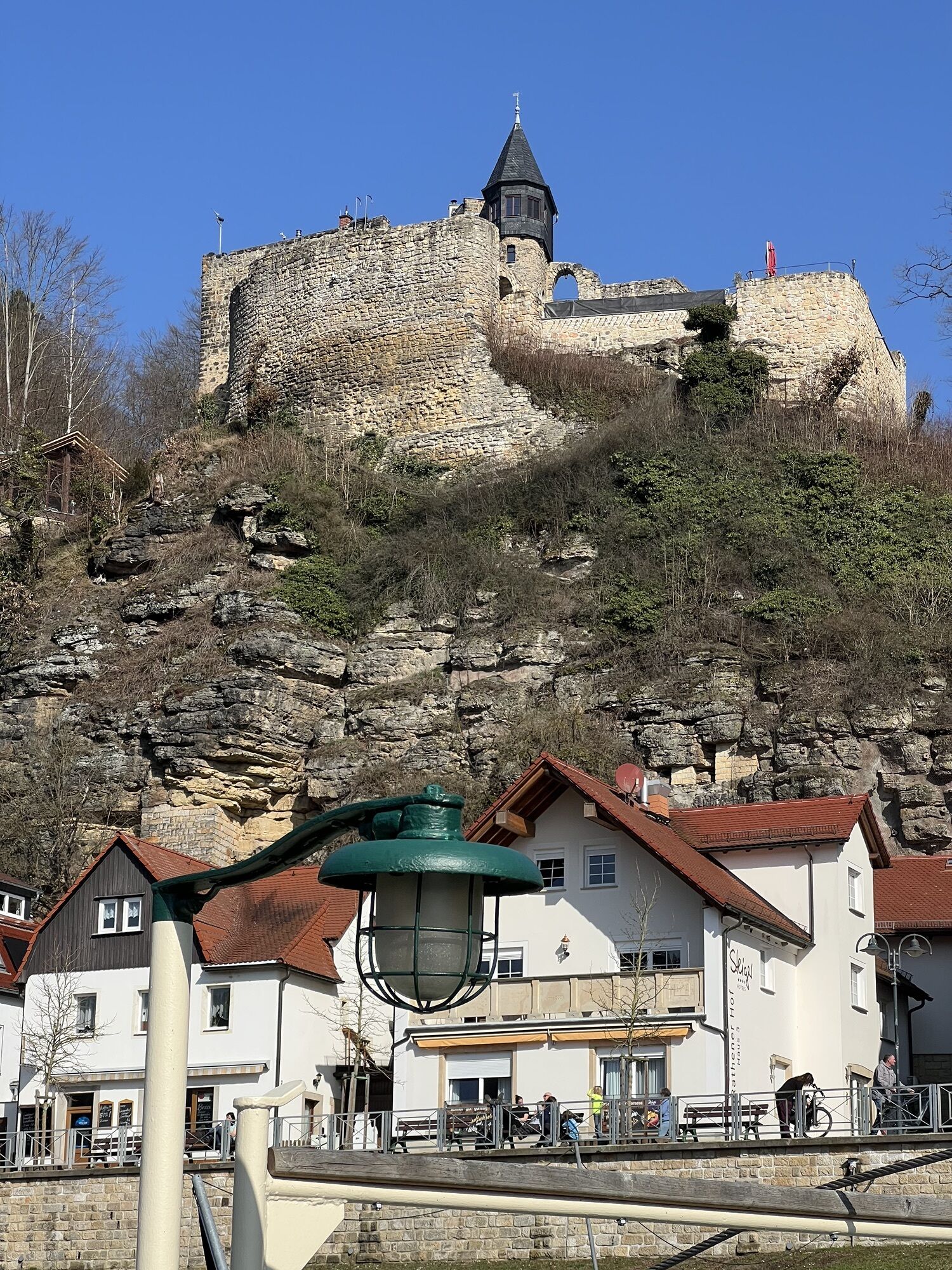
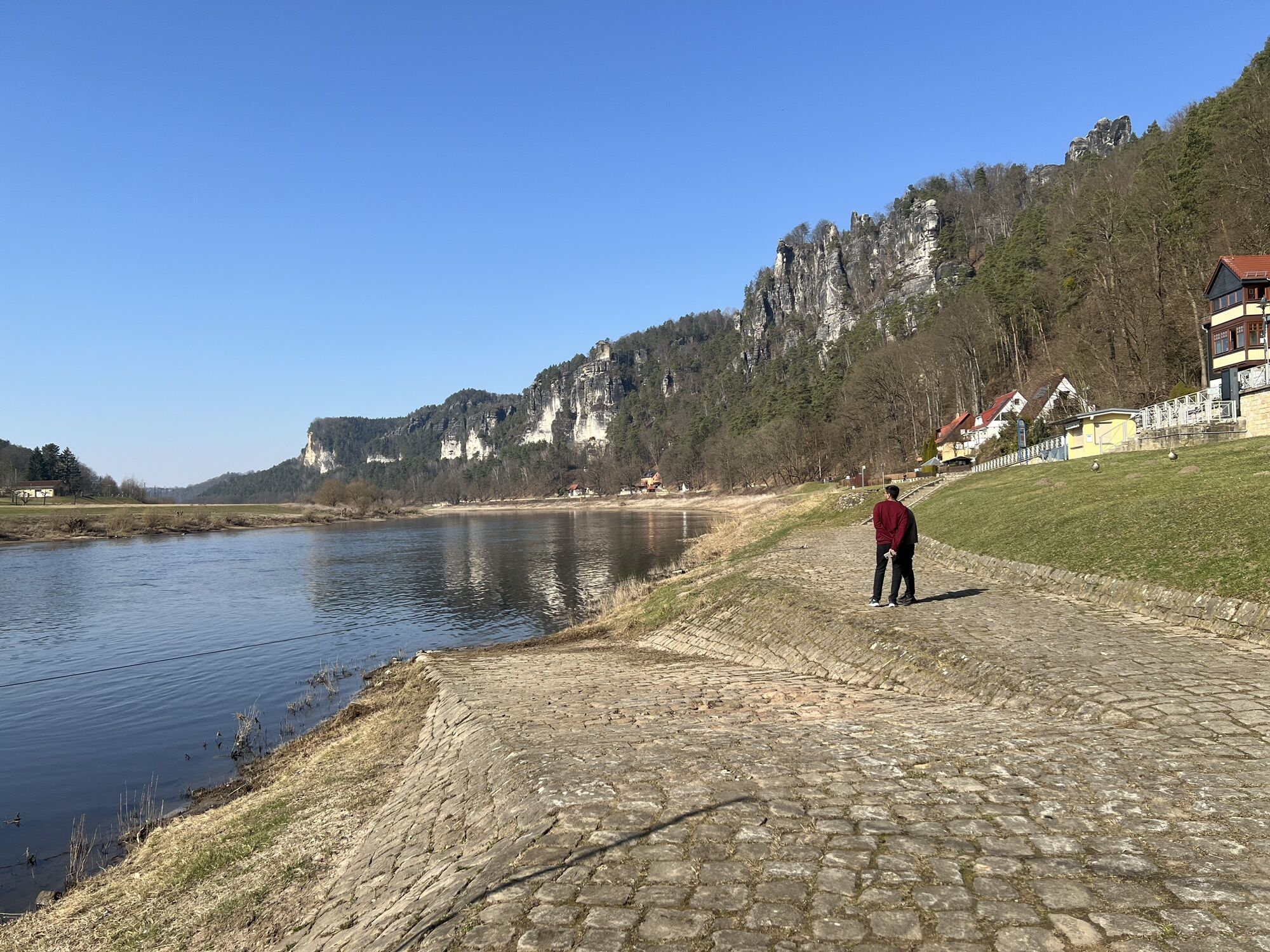

Haltepunkt Porschdorf - Polenztal - Waltersdorfer Mühle - Polenztalschänke - Hocksteinschänke - Wolfsschlucht - Hocksteinhöhle – Amselsee – Kurort Rathen - Bahnhof Kurort Rathen

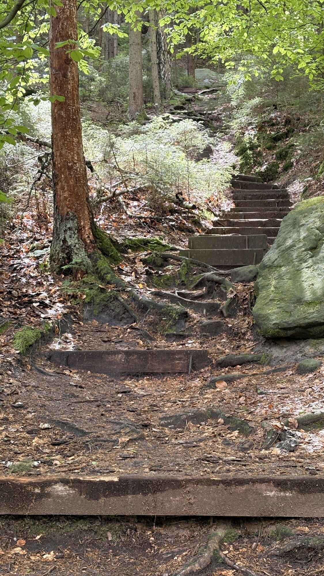
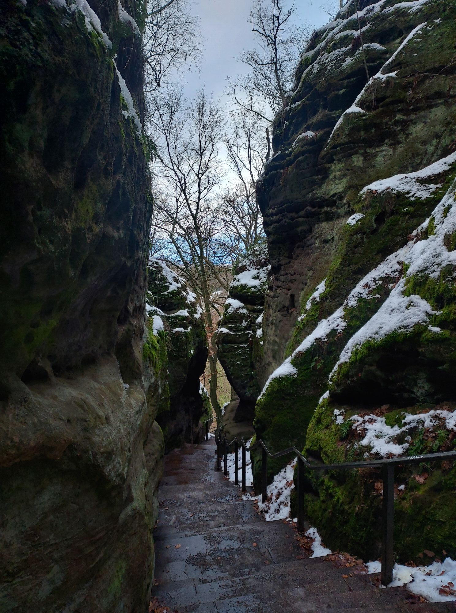
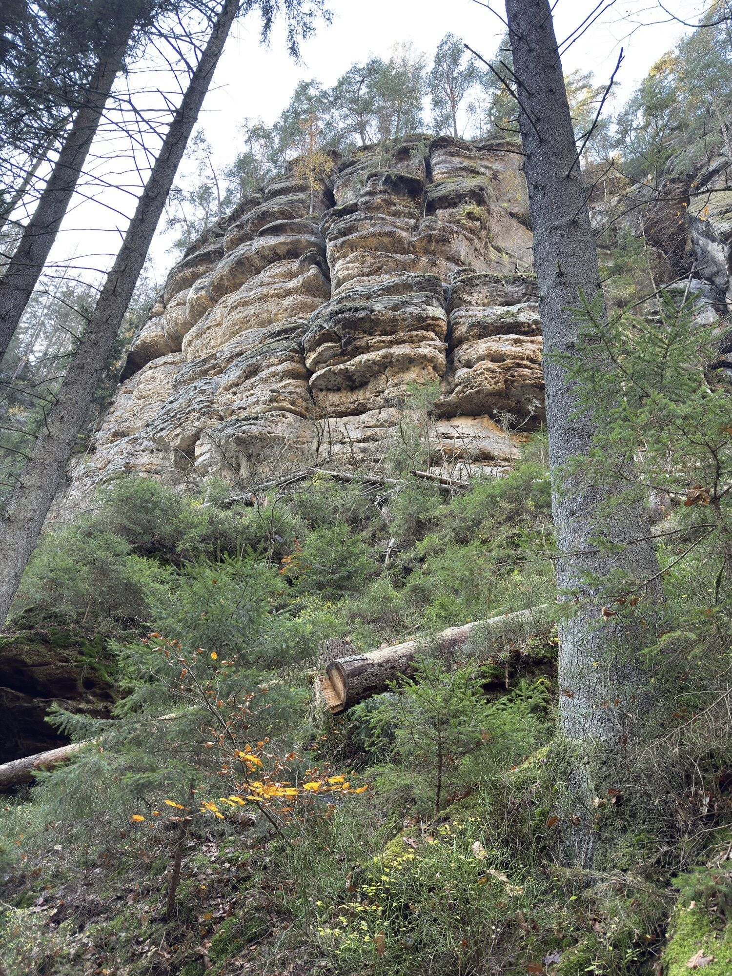
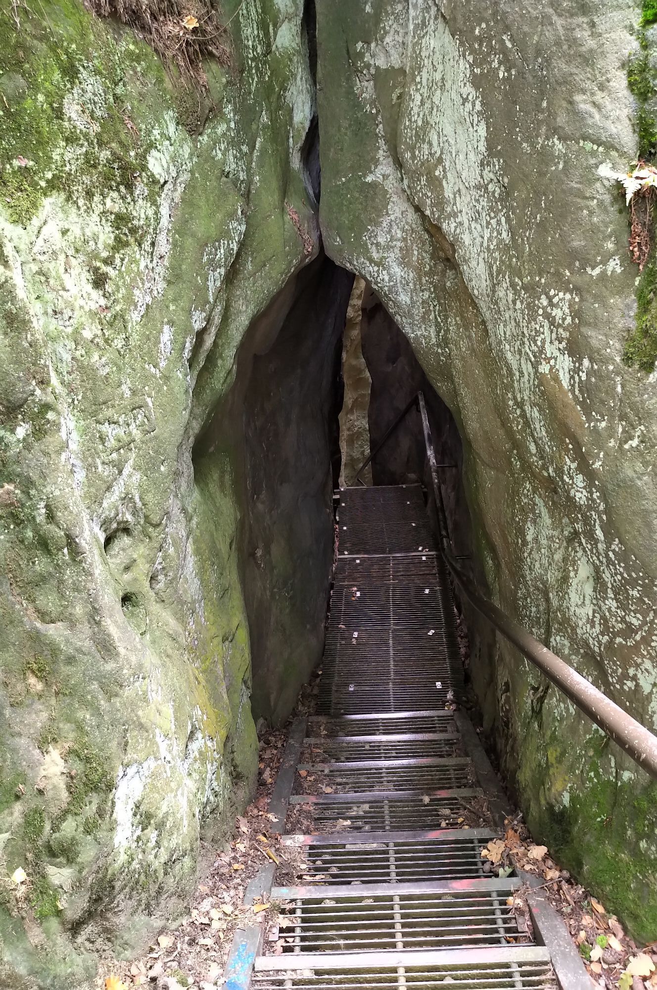
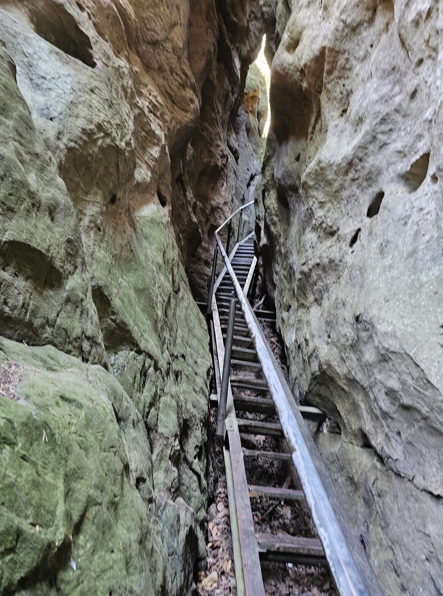
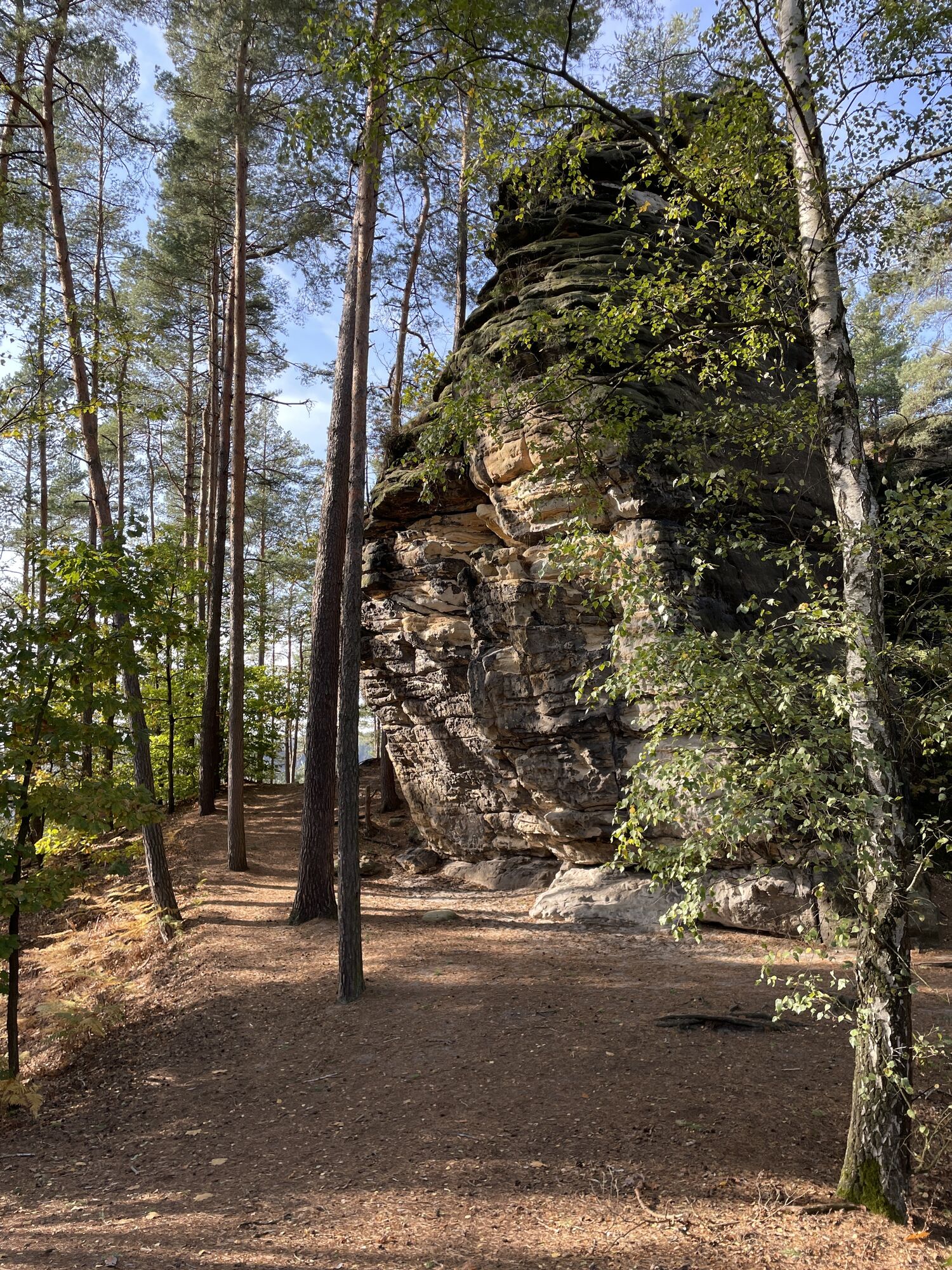
From the Hocksteinschänke, follow the green line up the Hockstein through the Wolfsschlucht gorge. At the lower end of the staircase, it is worth taking a look around the corner into the Hockstein Cave - a stratified joint cave below the rock massif.
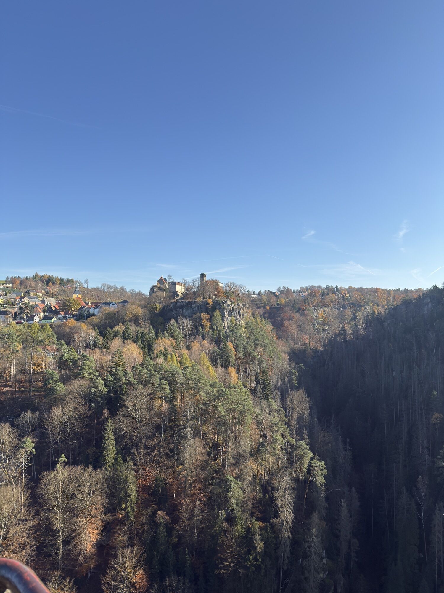
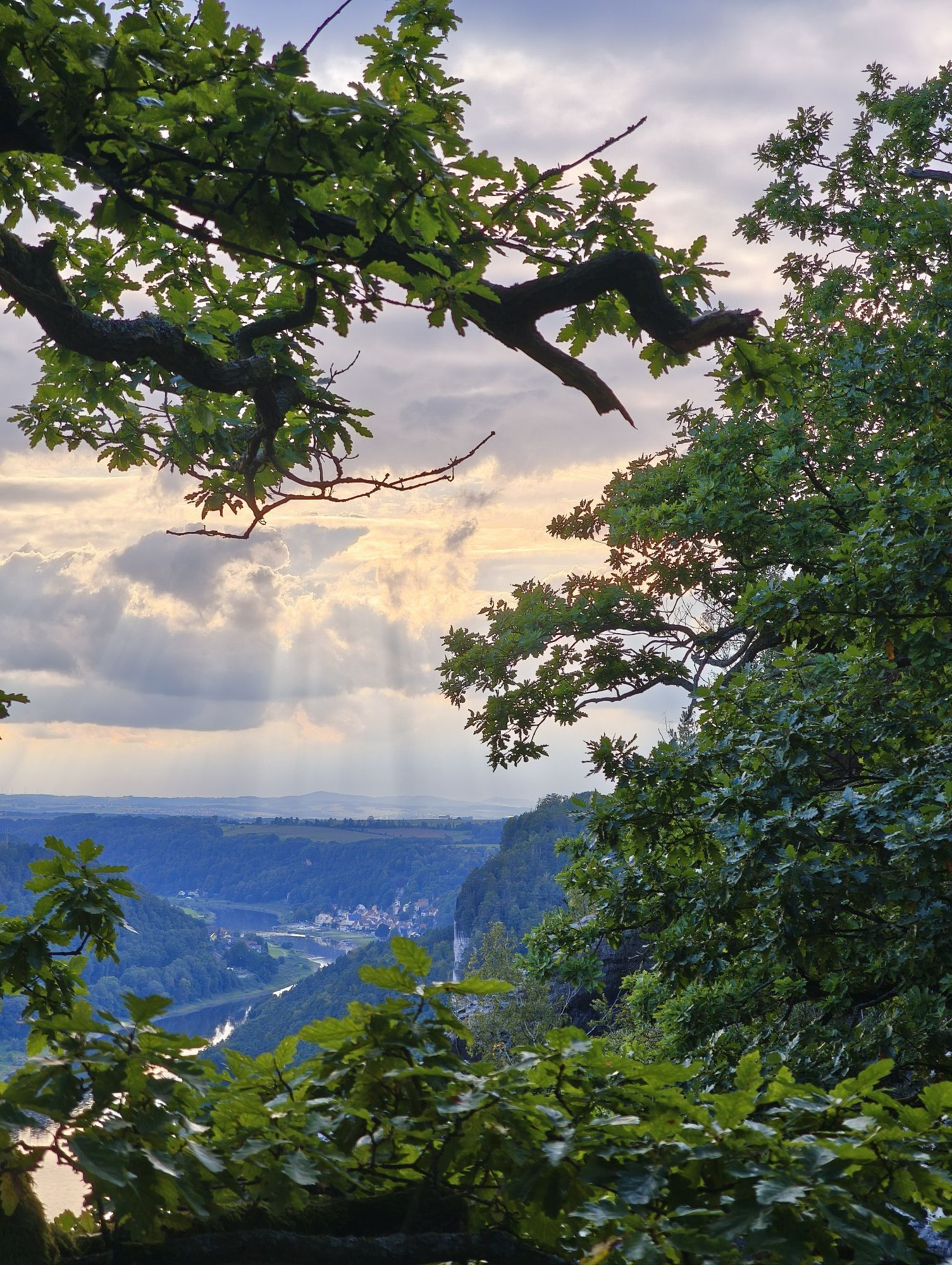
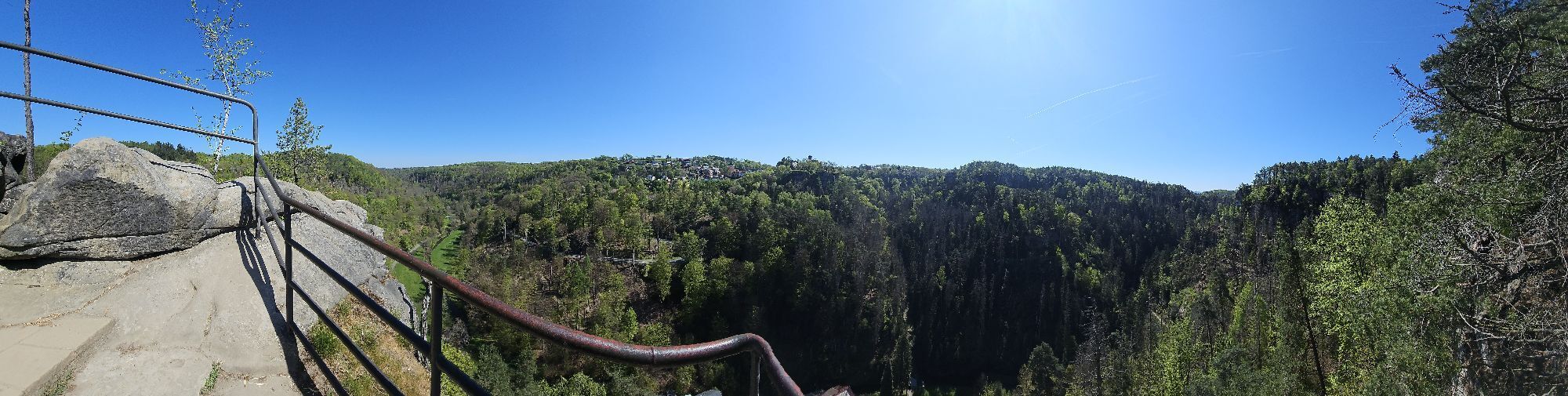
Once at the top of the Hockstein, after enjoying the views, continue following the green line in the direction of Amselsee - Kurort Rathen.
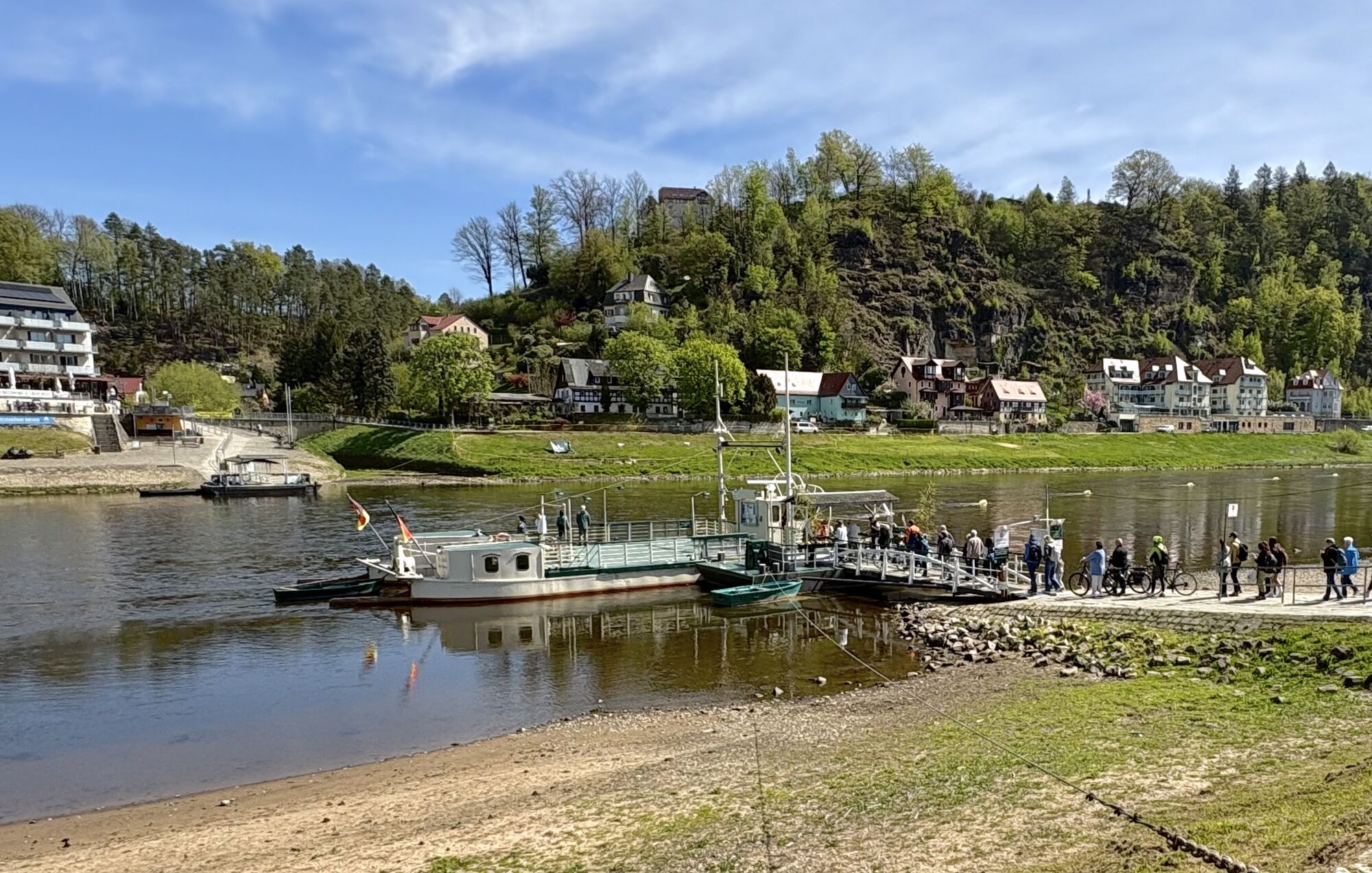
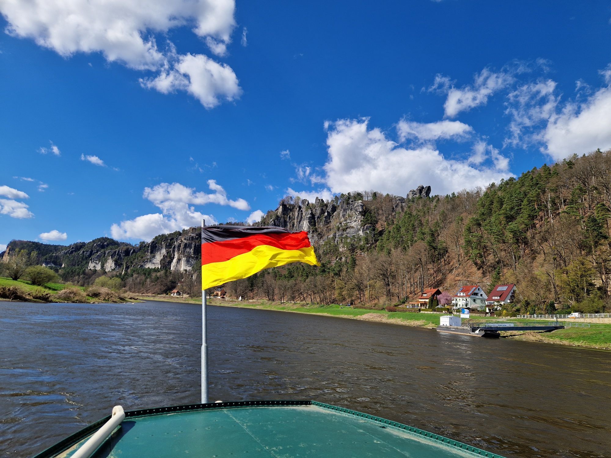
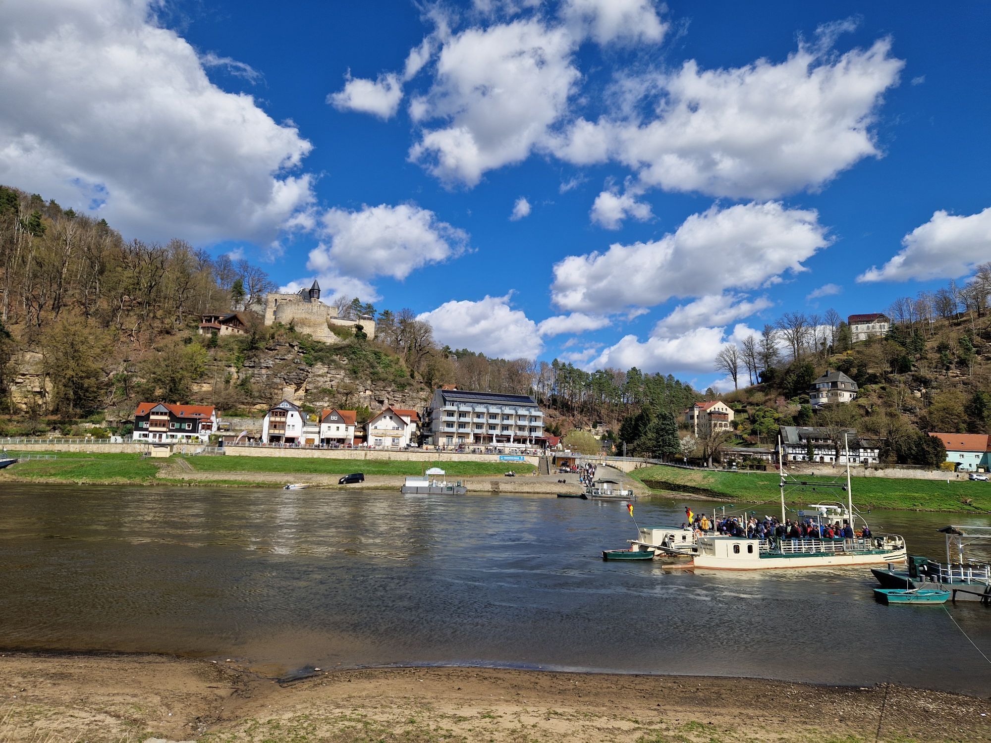
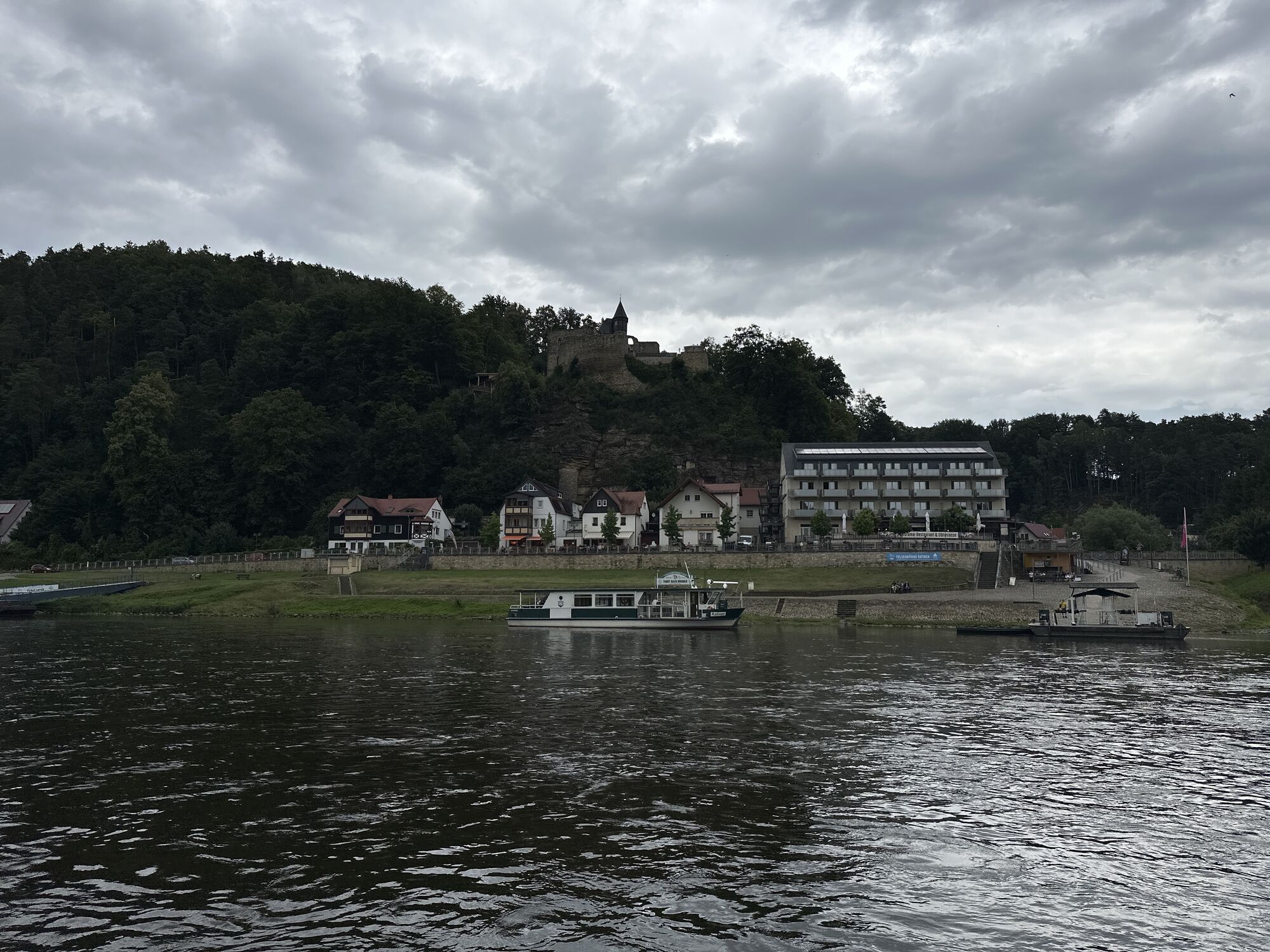
Once in Rathen, cross the Elbe by ferry and keep to the right until you reach the railway station, where the tour ends.
GPS DATA updated 2019
Buy here: shop.saechsische-schweiz.de/wanderkar...
Sturdy shoes and some food
Schandauer Str. (172) via Hohnsteiner Str. and Am Sebnitzbach to Poschdorf station
U 28 (Rumburk - Sluknov - Sebnitz - Bad Schandau - Decin)
Departure:
Line S 1 (Schöna - Bad Schandau - Pirna - Dresden - Coswig - Meißen)
!ATTENTION! - the ferry in Rathen is not part of the Verkehrsverbund Oberelbe (VVO) and must therefore be paid for separately.
Parking facilities at Bad Schandau railway station
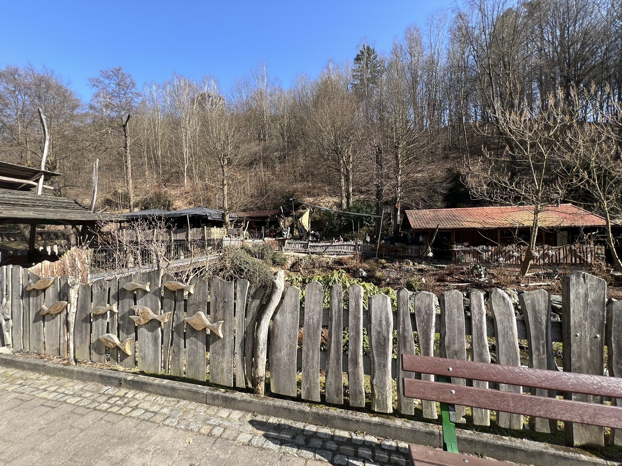
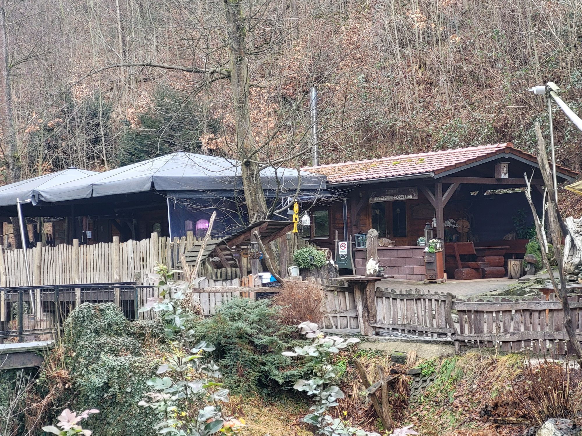
Stop for refreshments at the Polenztalschänke or the Waltersdorfer Mühle
Uzyskaj wgląd
Zawsze na żywo z ponad 9 500 kamer internetowych. bergfex Jako użytkownik Pro, możesz teraz zobaczyć odpowiednie kamery internetowe dla wielu wycieczek w aplikacji wycieczki od. Pozwala to na bezpośredni podgląd aktualnych warunków.
Popularne wycieczki w okolicy
-
4,7
Rathen / Hockstein / Bastei / Rathen
średniWędrówka 14,4 km -
4,6
Von Rathewalde zur Bastei
Wędrówka 12,8 km -
4,7
Rundwanderung Bastei Schwendenlöcher -Amselsee
światłoWędrówka 6,21 km -
4,5
Kuhstall, Himmelsleiter und Schneiderloch
średniWędrówka 4,06 km -
4,7
Pfaffenstein Sachsen/Deutschland
średniWędrówka 3,89 km -
5,0
Basteibrücke
światłoWędrówka 2,31 km -
5,0
Lilienstein
światłoWędrówka 3,75 km -
4,9
entlang der Schrammsteine, Breite Kluft, Affenwand
średniWędrówka 11,6 km -
4,4
Kurort Rathen: Große Bastei-Runde
średniWędrówka zimą 4,75 km -
4,8
Bad Schandau, Schrammsteinrunde
średniWędrówka 11,0 km
Wędrówki i tropienie


Nie przegap ofert i inspiracji na następne wakacje
Twój adres e-mail została dodana do listy mailingowej.





