






From Goßdorf via the Panorama Trail to the Beuthen Falls in the Kirnitzsch Valley
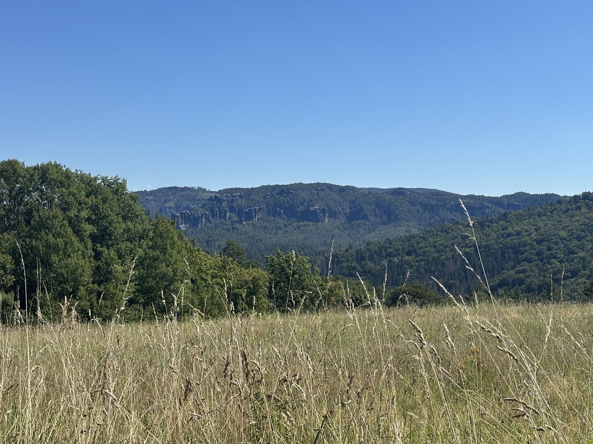
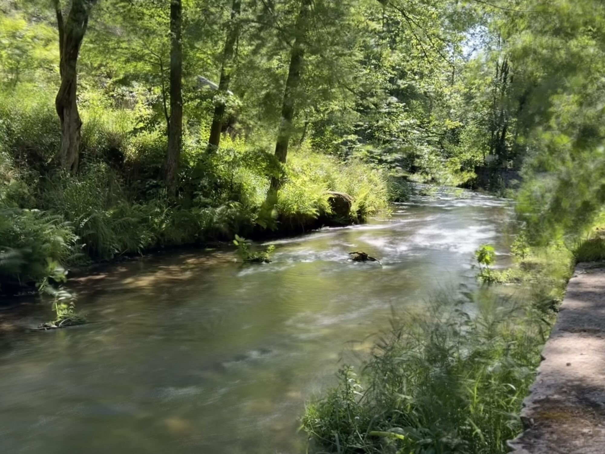
With a length of about 7.5 kilometres and only a slightly longer ascent from Gossdorf-Kohlmühle to the Adamsberg, the trail can be classified as relatively easy, but offers particularly beautiful and impressive...
With a length of about 7.5 kilometres and only a slightly longer ascent from Gossdorf-Kohlmühle to the Adamsberg, the trail can be classified as relatively easy, but offers particularly beautiful and impressive views. In addition, you pass through the small but nice villages of Altendorf and Mittelndorf and thus gain an impression of rural life in Saxon Switzerland. At one point - at the so-called Schaarwiese - you also have the impression of looking down on an alpine meadow in the Alps before you reach the Kirnitzschtal valley.
Finally, if you like, you can take a ride on the historic Kinitzschtalbahn railway from Beuthenfall through the picturesque Kinitzschtal valley to Bad Schandau or even hike along the also very interesting 9 km long Flößersteig (raft trail) along the Kinitzsch to Bad Schandau!

From the Adamsberg, you then walk through Altendorf and orient yourself by the yellow dot through the village. At the end of Altendorf, the Panorama Trail branches off to the right towards Mittelndorf.
In Mittelndorf, follow the yellow dot through the village until, after the village, a signpost with a green line points to the right in the direction of Beuthenfall.
On the way to the Beuthenfall, it is worth taking a detour to the Schaarwiese.
The tour ends when you reach the Beuthenfall in the Kinitzschtal valley.
If you are travelling by car, it is best to park at the P+R station in Bad Schandau and then take the National Park Railway (U28) to Kohlmühle.
VVO connection information to the stop Gossdorf-Kohlmühle
Timetable National Park Railway U28: https://www.vvo-online.de/de/tarif-tickets/tarif/Nationalparkbahn.cshtml
For the way back, we recommend either taking the Kirnitzschtalbahn from Beuthenfall to the spa gardens in Bad Schandau and then bus line 241 back to Bad Schandau station, or taking the bus from Beuthenfall back to the station. If you still want to stroll through Bad Schandau, you can also take the ferry from Bad Schandau back to the National Park railway station - so there are many options for the way back... ;-)
VVO connection information: https://www.vvo-online.de/de/fahrplan/fahrplanauskunft
Timetable bus line
Timetable Kinitzschtalbahn
Ferry timetable F5
Binoculars make the views even more interesting and you should not forget to bring something to drink, as there are no refreshment stops along the route except in Altendorf and it can get very hot on the open country lanes in summer.
Uzyskaj wgląd
Zawsze na żywo z ponad 9 500 kamer internetowych. bergfex Jako użytkownik Pro, możesz teraz zobaczyć odpowiednie kamery internetowe dla wielu wycieczek w aplikacji wycieczki od. Pozwala to na bezpośredni podgląd aktualnych warunków.
Popularne wycieczki w okolicy
-
4,7
Rathen / Hockstein / Bastei / Rathen
średniWędrówka 14,4 km -
4,6
Von Rathewalde zur Bastei
Wędrówka 12,8 km -
4,7
Rundwanderung Bastei Schwendenlöcher -Amselsee
światłoWędrówka 6,21 km -
4,5
Kuhstall, Himmelsleiter und Schneiderloch
średniWędrówka 4,06 km -
4,7
Pfaffenstein Sachsen/Deutschland
średniWędrówka 3,89 km -
5,0
Basteibrücke
światłoWędrówka 2,31 km -
5,0
Lilienstein
światłoWędrówka 3,75 km -
5,0
Prebischtor
średniWędrówka 18,9 km -
4,9
entlang der Schrammsteine, Breite Kluft, Affenwand
średniWędrówka 11,6 km -
4,4
Kurort Rathen: Große Bastei-Runde
średniWędrówka zimą 4,75 km
Wędrówki i tropienie


Nie przegap ofert i inspiracji na następne wakacje
Twój adres e-mail została dodana do listy mailingowej.





