


Frankenberg/Sa-6.3.1 Harrasfelsen-Finkenmühle-yellow
The tour begins at the Körner monument on the Harrasfelsen rock and leads into a stream valley on red markings. When you reach the stream, turn left at a hairpin bend and follow the course of the stream...
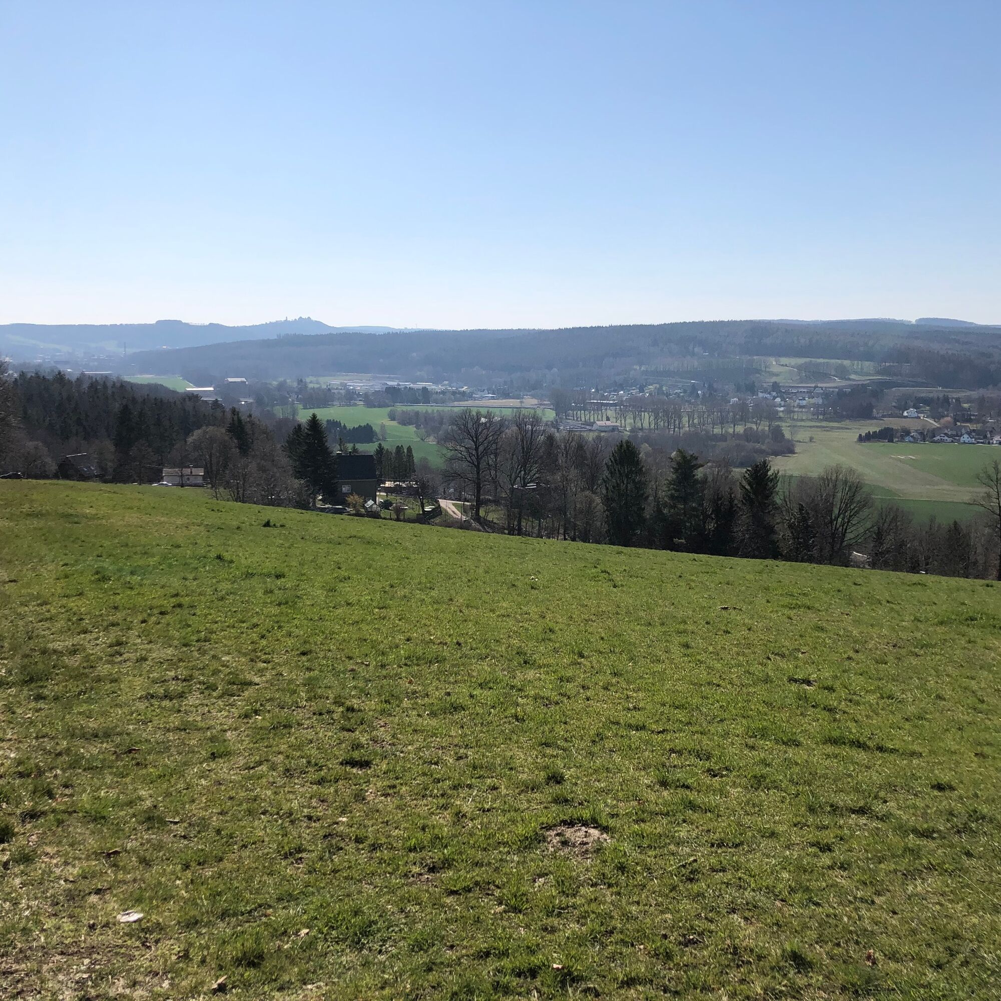
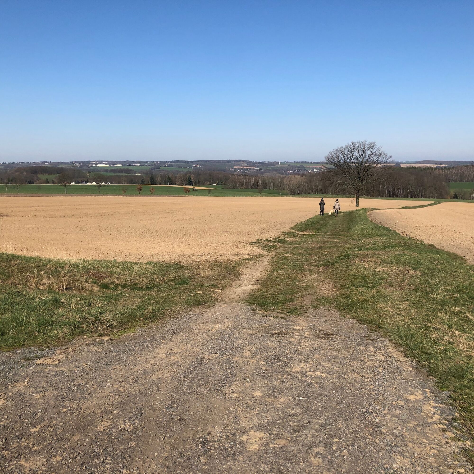
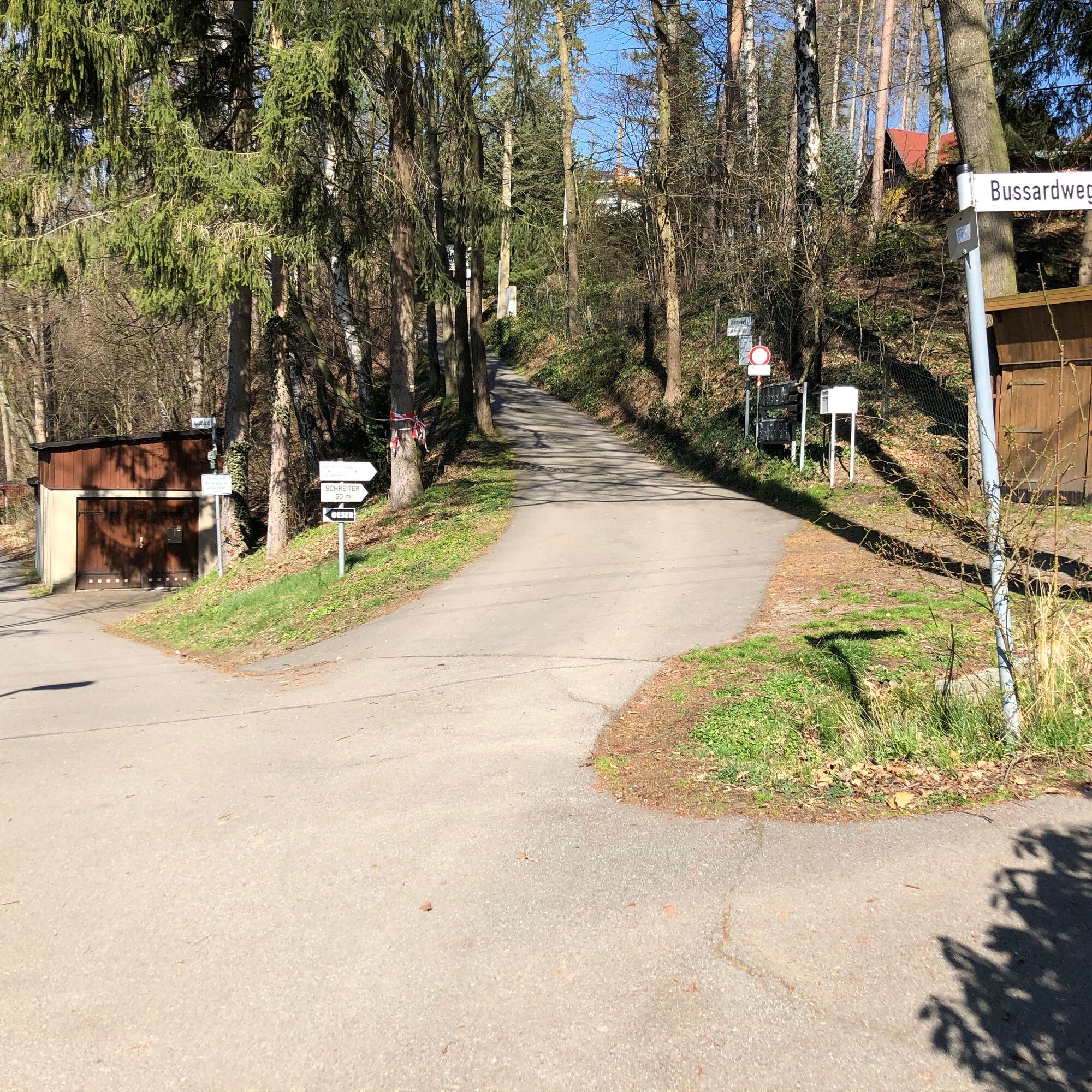
The tour begins at the Körner monument on the Harrasfelsen rock and leads into a stream valley on red markings. When you reach the stream, turn left at a hairpin bend and follow the course of the stream upstream on yellow markings. At a small pond (which may be dry), turn right towards Altenhain. In the village, follow the road "Zum Harrasfelsen" to house no. 8, then turn left along the road to the end of the village. Before the village exit sign, turn left onto a field path to Braunsdorfer Straße, from where you have a wonderful panoramic view. At the next left-hand bend in Braunsdorfer Straße, Finkenmühlenweg continues straight ahead. From here you have a wonderful view of Augustusburg Castle and the Zschopau valley. Continue along Amselweg or Drosselweg to the path "Zur Finkenmühle", which you reach a short time later.


6.3.1 Harrasfelsen - Finkenmühle, yellow 3.5 km
No. Location km
Frankenberg/OT Altenhain
1 Harrasfelsen 0.0
2 Altenhain junction 0.1
3 Descent Talweg 0.2
4 hairpin bend 0.4
5 Talweg junction 0.9
6 Altenhain junction 1.0
7 Köhlerhof junction 1.4
8 To Harrasfelsen 1.6
9 Zum Harrasfelsen 8 1.9
10 Feldweg 2.0
11 Braunsdorfer Straße 2.4
12 Finkenmühlenweg 2.8
13 Drosselweg 3.0
14 Amselweg 3.1
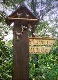
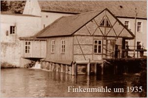
15 Finkenmühle/Kirchsteig 3.5
From Finkenmühle to Braunsdorf/Bahnhof 2.5 km
Tak
Take care on the country road in front of Finkenmühlenweg
Arrival/departure with the Citybahn to/from Braunsdorf possible.
Parking is available at Braunsdorf station and at the Finkenmühle.
For the way back, you can take the red-marked path along the Zschopau to Braunsdorf (2.5 km) or continue over the Harrasfelsen (4 km) to Frankenberg (7.5 km).
There is a regular so-called Finkenmühlentag.
For questions and reservations call: 03726 / 6556 or use the contact form.
Opening hours: Wednesday - Sunday from 11.00 a.m.
Popularne wycieczki w okolicy
- 3,5
Historical circular hiking trail - Witzschdorf
średniWędrówka 7,38 km Off to the "Crown of the Ore Mountains"
średniWędrówka 9,51 kmZschopautalweg
ciężkidługodystansowy szlak pieszy 129,0 kmSaxon Way of St. James along the Franconian Road (Bautzen - Hof)
średniTrasa pielgrzymki 300,2 kmFrom Engeldorf to the hunting lodge - a tour with a view of the castle
średniJazda na rowerze 22,4 km- 4,0
Waldkirchen circular hiking trail
Wędrówka 12,8 km Zschopau Valley Cycle Route - The Royal Route of the Ore Mountains
średniKolarstwo długodystansowe 132,1 kmZschopautalweg from Braunsdorf to Mittweida
ciężkiWędrówka 16,5 km- 5,0
Around Oederan
średniWędrówka 12,2 km Motorcycle history in the Zschopau valley between Zschopau and Augustusburg
ciężkiWędrówka 15,6 km
Wędrówki i tropienie


Nie przegap ofert i inspiracji na następne wakacje
Twój adres e-mail została dodana do listy mailingowej.