







Frankenberg/Sa-6.3.2. circular route Mühlbach-Hausdorf-yellow
The circular hiking trail leads through Mühlbach past the war memorial in the direction of Obermühlbach, where the hiking trail leads up to Butterberg on the right at the entrance to the village. From...
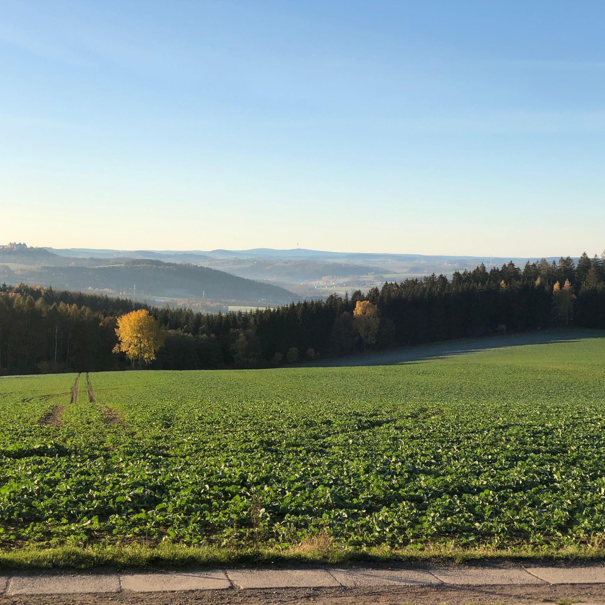
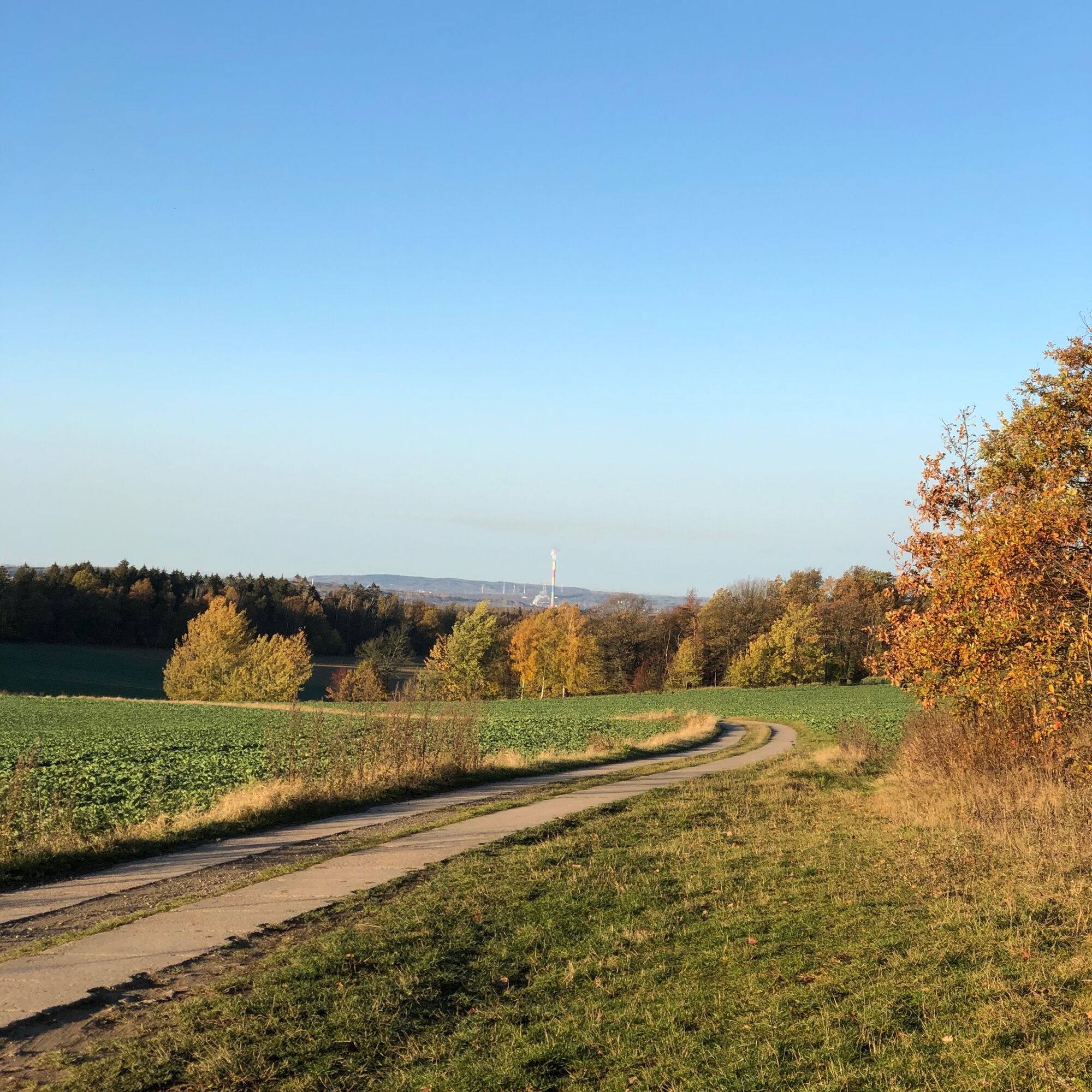
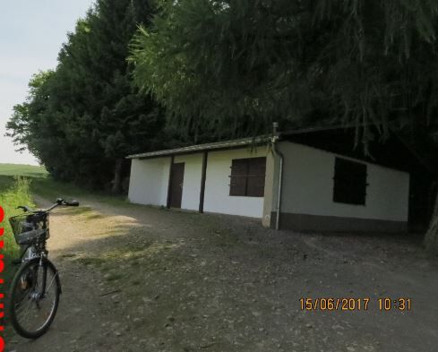
The circular hiking trail leads through Mühlbach past the war memorial in the direction of Obermühlbach, where the hiking trail leads up to Butterberg on the right at the entrance to the village. From there you have a first very beautiful view as far as Chemnitz. (The colourful chimney is clearly visible) In Hausdorf, the trail leads past the district's very idyllic forest cemetery in the "Gehege" forest. The route then continues along the edge of the forest above the village road on a section with many lovingly designed seating areas and old boundary stones. After a few hundred meters on the little-used district road towards Oederan, slightly uphill, you have a first great panoramic view of Augustusburg, with a clear view of Fichtelberg and Keilberg. Here you turn off the district road into the forest again and reach the ski hut after a short time. The trail continues along the edge of the forest to Häsig, where the Ore Mountains panorama opens up once again. To the north, you can see the Rochlitzer Berg and, on a clear day, the plume of smoke from the power station in Böhlen-Lippendorf behind it. The route continues along the northern edge of the Frauenholz (restricted military area) to the wind turbine and from there along the Altenhainer Weg back to the starting point.


6.3.2. circular route Mühlbach - Hausdorf - yellow 15.7 km
No. Location km
Frankenberg/OT Mühlbach
1 Am Mühlberg/parking lot 0.0
2 Am Mühlberg/junction left 0.4
3 Dittersbacher Str. 0.7
4 Frankenberger Str./war memorial 1.2
5 Frankenberger Str./Hausdorfer Str. 1.7
6 Branch off Frankenberger Strasse 2.3
7 Butterberg/high-voltage pylon 2.9
Frankenberg/OT Hausdorf
8 Hausdorf junction 3.9
9 Fire extinguishing pond 4.6
10 Forest edge junction 4.7
11 Cemetery 5.1
12 Road to the cemetery 5.2
13 Riding path 5.7
14 Old village road 6.5
15 Forest corner 6.8
16 Junction K7703 (Oederan) 7.5
17 Waldspitze 7.6
18 Ski hut 8.4
19 Obere Hausdorfer Straße 8.7
20 Häsig 9.6
21 Mittlere Hausdorfer Straße 10.0
22 Plattenstraße bend 10.3
23 Silo 11.2
24 Junction Waldrand 11.4
Frankenberg/OT Mühlbach
25 Altenhainer Weg 13.8
26 Frankenberger Straße 14.8
27 Footpath/bridge Bach 15.3
28 Parking lot 15.7
Tak
Sturdy shoes, weatherproof clothing.
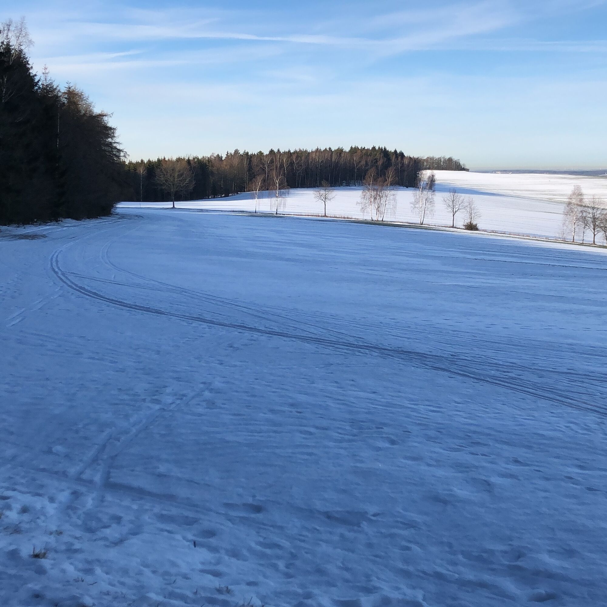
In winter, the route on the Hausdorfer Höhe can be covered in deep snow, even if it doesn't look like it in the valley.
Coming from the highway by car, follow the signs to Oberschöna. After the railroad crossing, turn right at the traffic lights towards Mühlbach. Straight ahead to the restaurant "Am Mühlberg".
To Frankenberg with Citybahn or Linenbus.
From Frankenberg, train station with Stadtverkehr Neubau
Timetable information: www.vms.de/std2/XSLT_TRIP_REQUEST2
It is approx. 1.5 km from the station to the starting point of the tour.
Parking lot Mühlbach at the restaurant "Am Mühlberg"
There are very nice picnic spots along the way where you can eat the food and drink you have brought with you. (Please take the garbage back with you ;-)
Popularne wycieczki w okolicy
-
4,0
Off to the "Crown of the Ore Mountains"
średniWędrówka 9,51 km -
3,5
Historical circular hiking trail - Witzschdorf
średniWędrówka 7,38 km -
Zschopautalweg
ciężkidługodystansowy szlak pieszy 131,0 km -
5,0
Cycle around the silver city of Freiberg
średniJazda na rowerze 28,5 km -
Zschopau Valley Bike Trail - The Crown Jewel of the Ore Mountains
średniKolarstwo długodystansowe 132,1 km -
Saxon Way of St. James along the Franconian Road (Bautzen - Hof)
średniTrasa pielgrzymki 300,2 km -
3,0
4 - Mill tour Grünhainichen
średniWędrówka 13,3 km -
From Engeldorf to the hunting lodge - a tour with a view of the castle
średniJazda na rowerze 22,4 km -
Zschopautalweg from Braunsdorf to Mittweida
ciężkiWędrówka 16,5 km -
4,0
Waldkirchen circular hiking trail
Wędrówka 12,8 km
Wędrówki i tropienie


Nie przegap ofert i inspiracji na następne wakacje
Twój adres e-mail została dodana do listy mailingowej.





