


Borstendorf chess trail - "Great long-distance tour"

The tour takes you from the starting point, Grünhainichen/Borstendorf railroad station, along the chess hiking trail up the village. You will experience the history of the small and well-known chess village...
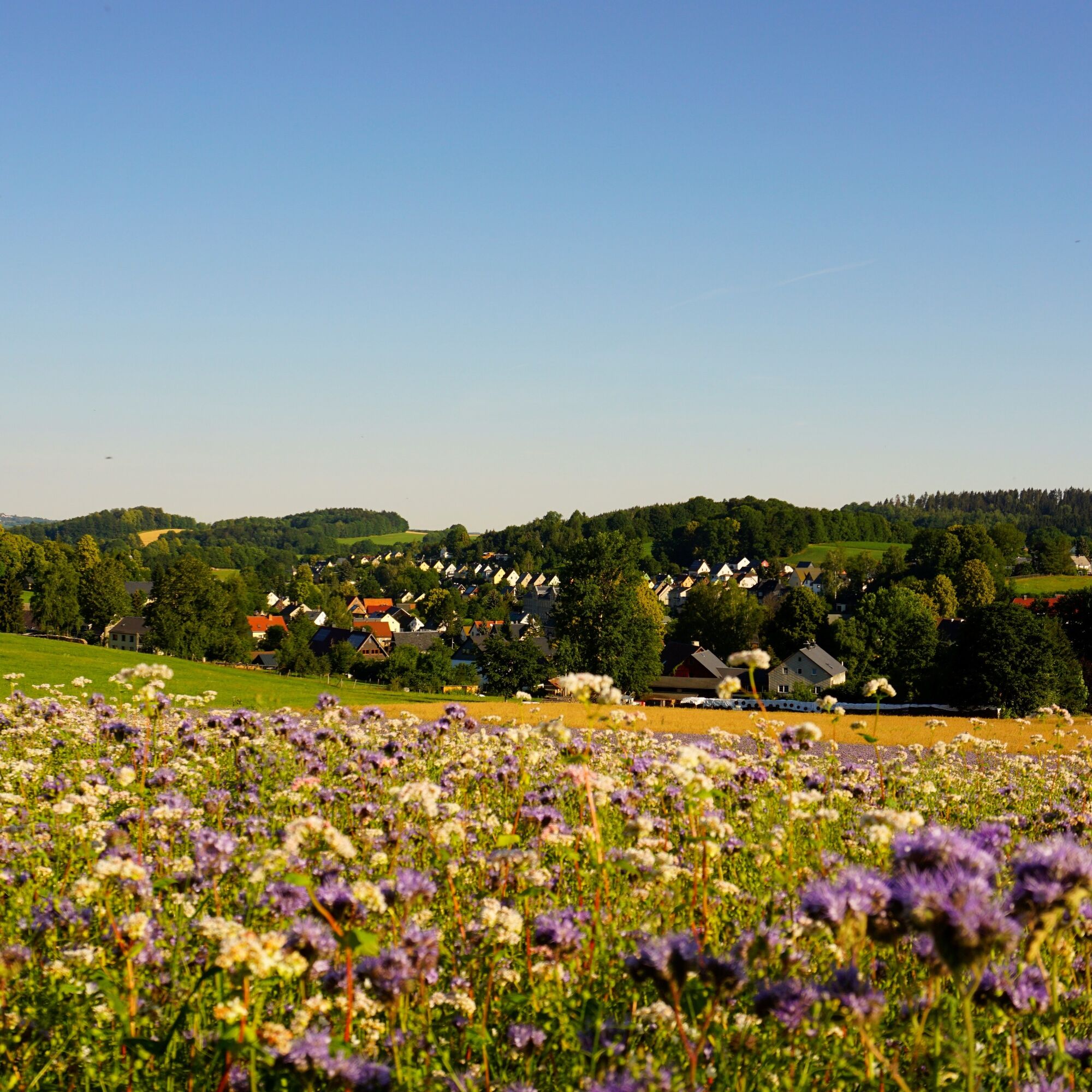
The tour takes you from the starting point, Grünhainichen/Borstendorf railroad station, along the chess hiking trail up the village. You will experience the history of the small and well-known chess village in the Ore Mountains at numerous stops and can already enjoy the first magnificent views into the distance and the beautiful Flöhatal valley. As an intermediate stage, you reach the district of Floßmühle and walk along part of the Flöhatal cycling and hiking trail. Here you can discover the Flöhatal with its varied flora and fauna and enjoy the cool water. The high trail takes you from the Flöha valley over a mountain ridge back to Borstendorf. You can enjoy magnificent views in all directions. Once you arrive in Borstendorf, you can either explore other stations on the chess trail, stop off at the Gasthof Oehme inn or jump into the cool water at the local outdoor pool. The trail then leads you back down the village to the train station.

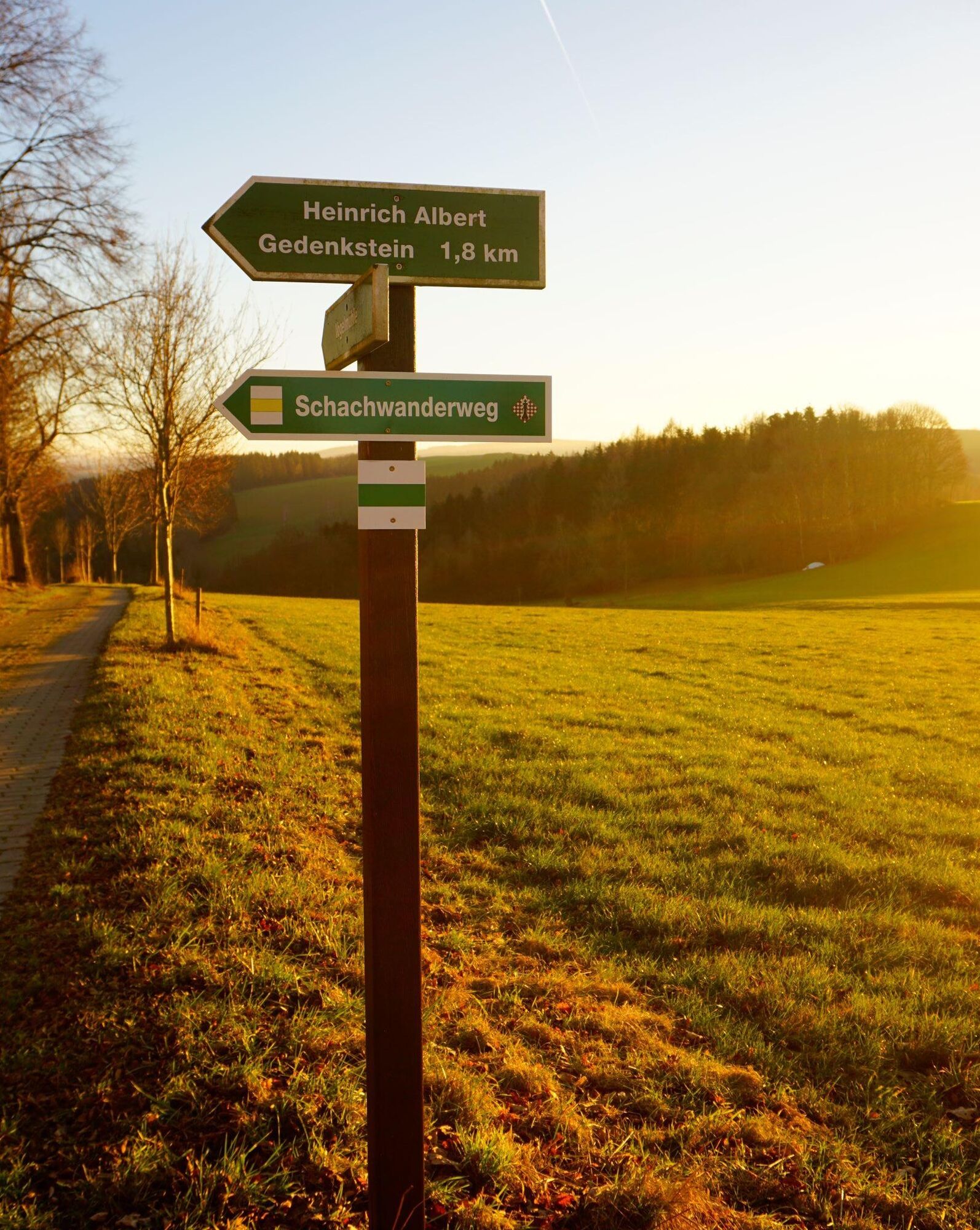
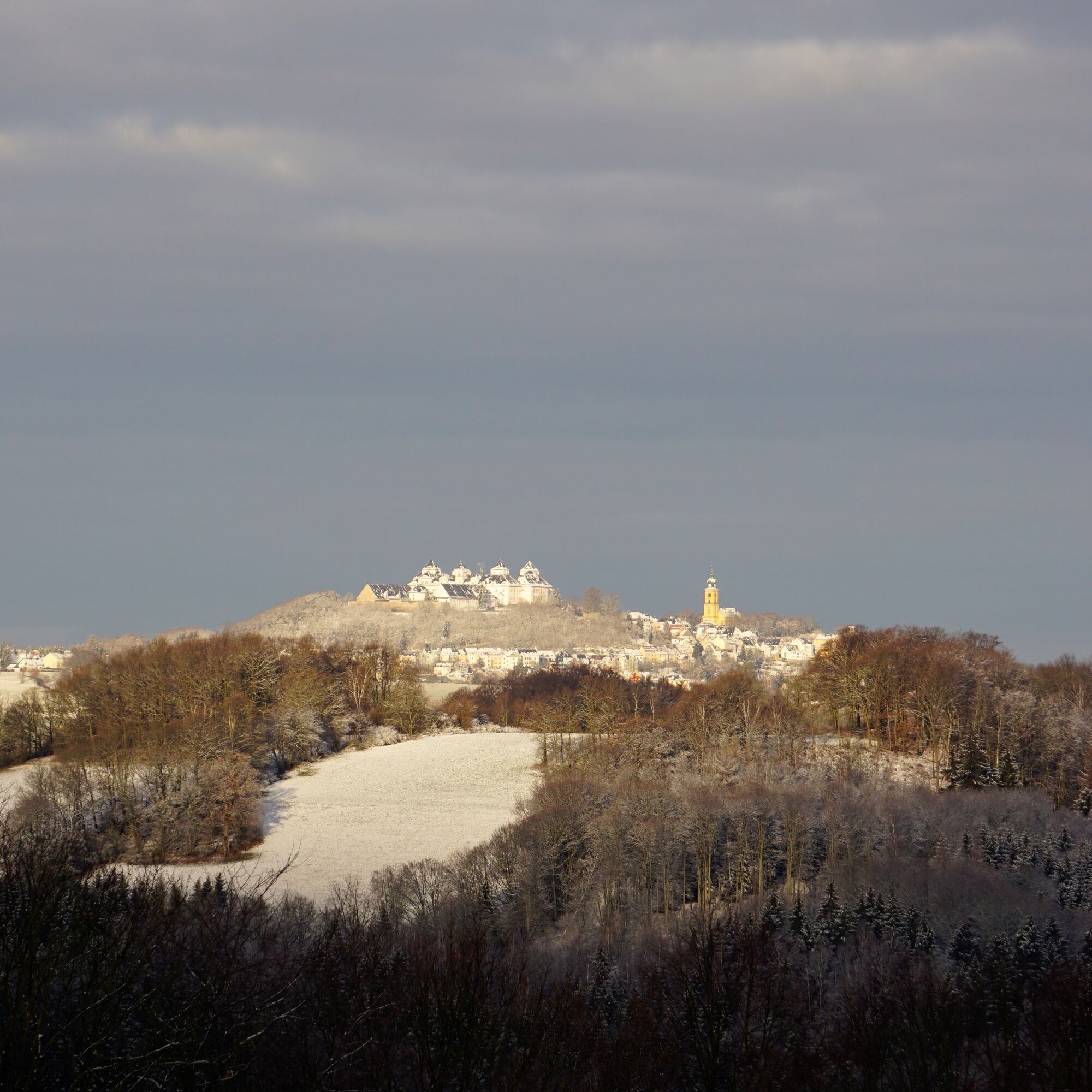
You start the tour at Grünhainichen/Borstendorf railroad station and walk over the bridge connecting the two districts, thus crossing the Flöha. Immediately after the bridge, keep left and follow the signs for the chess hiking trail up the village of Borstendorf. After walking mainly through the small alleyways of the village at the start of the route, you soon reach paths along beautiful meadows and forests. After passing the first section of forest at "Langer Grund", you reach the small Leubsdorf district of "Kolonie". You walk past the few houses and the path meanders back into the forest. After a few hundred meters you have the opportunity to turn left to a great rest hut (signposted), but the path continues straight ahead, crosses the connecting road in the direction of Eppendorf and passes the historic forester's lodge (Umgebindehaus). Now continue to follow the signs for the chess hiking trail until you reach a former cattle shed. You walk past the cattle shed, now you can turn right onto Floßmühler Straße into the center of Borstendorf, but we turn left towards Floßmühle and the Flöhatal. Once you arrive at Floßmühle station, turn right along the Flöha, past the former mill building, also past the swing bridge to a weir. Before crossing the mill race over a bridge, turn right into the forest and you are on the Borstendorfer Höhenweg. After a short time, this trail lives up to its name as it climbs steeply uphill towards the antenna mast and Borstendorf soccer pitch. On this section of the route, you can enjoy beautiful views in many directions all the way to Augustusburg Castle. You walk past the sports field back downhill towards the village center and keep left (avenue) and pass right by the church. Now walk along the side streets next to August - Bebel Straße to your destination, Grünhainichen Borstendorf railroad station. I hope you were able to discover many beautiful views and, above all, many chess pieces.
Tak
Don't forget your binoculars and camera!
It is possible to get here by Erzgebirgsbahn train and numerous bus connections from Flöha, Chemnitz and Zschopau.
Sufficient free parking spaces are available at Grünhainichen/Borstendorf station.
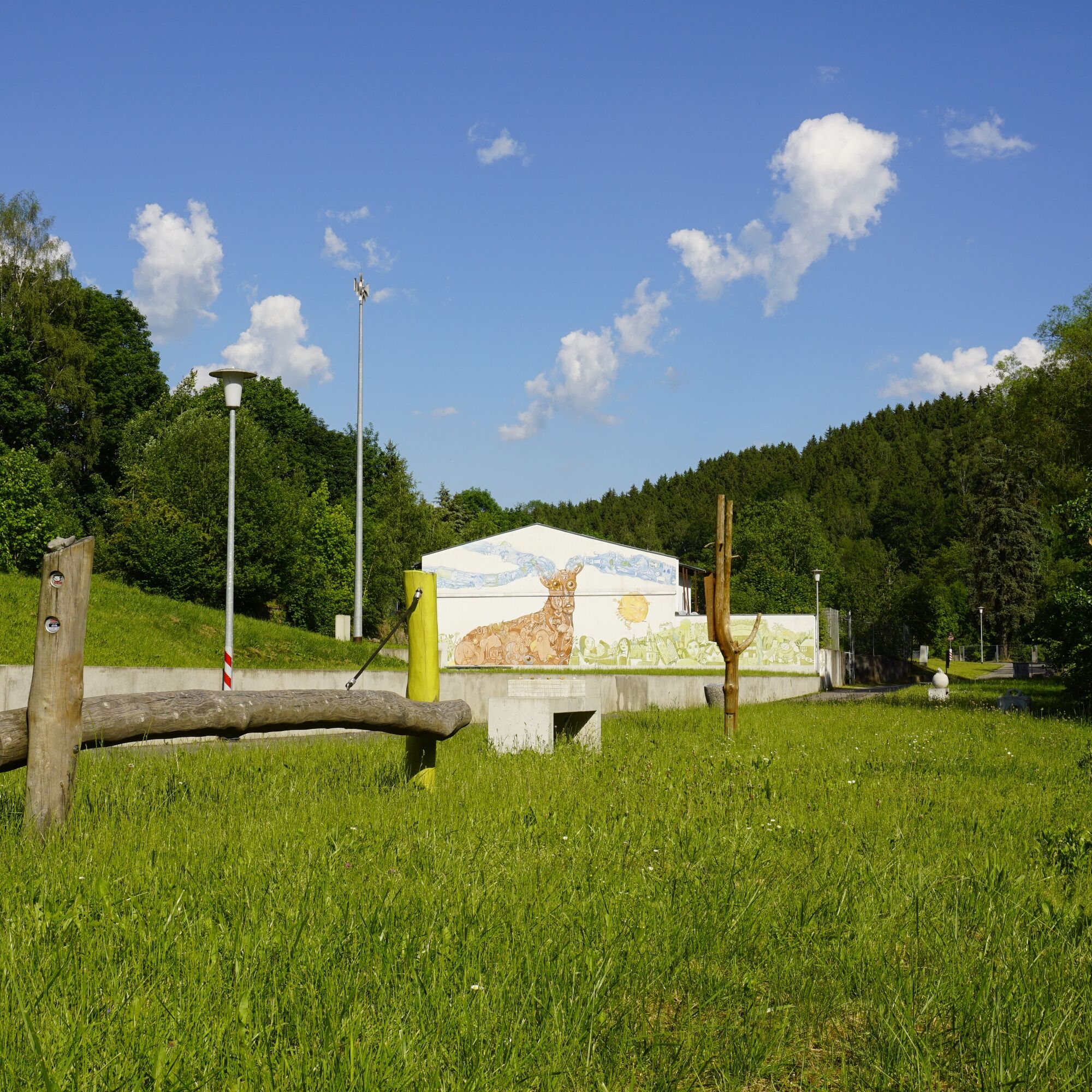
A wonderful hiking tour with lots of impressions for young and old. Enjoy the magnificent views and nature, discover the history of Borstendorf and watch the dam wildlife at the game reserve - simply an excursion for the whole family.

Popularne wycieczki w okolicy
-
5,0
Rocky idyll and ridge view (Wolkenstein)
średniWędrówka 15,2 km -
5,0
Alpine hiking trail - town of Wolkenstein/Warmbad (Boundless. Wild romantic nature experiences)
średniWędrówka 10,1 km -
3,5
Historical circular hiking trail - Witzschdorf
średniWędrówka 7,38 km -
4,0
Via Mala
światłoWędrówka 5,36 km -
Off to the "Crown of the Ore Mountains"
średniWędrówka 9,51 km -
4,0
Pockau - discover a paradise
średniWędrówka 14,1 km -
Zschopautalweg
ciężkidługodystansowy szlak pieszy 129,0 km -
Saxon Way of St. James along the Franconian Road (Bautzen - Hof)
średniTrasa pielgrzymki 300,2 km -
3,0
4 - Mill tour Grünhainichen
średniWędrówka 13,3 km -
Winter hiking - Wolkensteiner Switzerland
średniWędrówka zimą 6,29 km
Wędrówki i tropienie


Nie przegap ofert i inspiracji na następne wakacje
Twój adres e-mail została dodana do listy mailingowej.