


Radfernweg Sächsische Mittelgebirge Erzgebirgsradmagistrale Etappe 02


Starting at Geising, we follow the SM route uphill towards Zinnwald, past the mine exhibition “Vereinigt Zwitterfeld” bearing witness to mining history, the Georgenfeld Moor and the “Lugsteine”, along trail 30 to the Kahleberg Mountain (905 m). This is the highest point in the Eastern Ore Mountains, and from here we can see the spa and sports town of Altenberg, including the “Raupennest” spa centre, the Galgenteich pools, the fall shafts, the Geisingberg hill (824 m) and, in the distance, Dresden, Saxon Switzerland and if the weather is clear, as far as the Riesengebirge (“Giant Mountains”) region. We now ride downhill through spruce forests to Rehefeld-Zaunhaus, continuing along the German-Czech border next to the former Nossen-Moldava rail line, taken out of service in 1972, past Neuhermsdorf and the railway museum. From Teichhaus, the cycling route proceeds uphill to Oberholzhau from where a stunning view of the Mulde Valley can be enjoyed. Relax on the long straight “Ringel” stretch leading to the hikers’ parking area. From here, we move on to Neuhausen via Cämmerswalde above the Rauschenbach dam. Neuhausen has the first nutcracker museum in Europe with more than 5,000 wooden exhibits. Travelling past Purschenstein Castle in the town centre, the route now goes uphill to Schwartenberg (789 m) and the beautiful view from there, then further to the resort of Seiffen. Seiffen has a baroque round church and became world famous as a centre of Ore Mountain woodcraft. It’s worth stopping to visit the toy museum or one of the many open workshops. Cycling onwards, we follow the route marking up to Heidersdorf and over the Hüttengrund past the Gnade-Gottes-Erbstollen mine into Olbernhau, the town of seven valleys. The tour comes to a close in the Saiger smelting works memorial complex. The Olbernhau-Grünthal railway station is in the immediate vicinity.
Tak
Trekkingrad, Mountainbike, Fahrradanhänger bedingt geeignet
Bahnanbindung in Geising, Holzhau und Olbernhau
Geising, Parkplatz am Skihang oder am Bahnhof
Olbernhau, Wanderparkplatz Rothenthaler Str.
Kamery internetowe z trasy
Popularne wycieczki w okolicy
Oberbärenburg- Tellkoppe- Ausichtsturm, Deutschland Altenberg im Erzgebirge, Deutschland
światłoWędrówka8,08 km- 3,0
Kahleberg-Geisingberg-Scharspitze-Biwakkuppe, Deutschland Altenberg im Erzgebirge, Deutschland
średniWędrówka14,6 km Blockline Loop 1: Holzhau » Altenberg » Hermsdorf » Holzhau
ciężkiMountainbike55,4 kmBLOCKLINE - The bike adventure in the Erzgebirge
ciężkiMountainbike137,3 kmBlockline Loop 2: Holzhau » Frauenstein » Blockhausen » Kreuztanne » Holzhau
średniMountainbike52,0 kmBlockline Loop 3: Holzhau » Kreuztanne » Neuhausen » Seiffen » Holzhau
ciężkiMountainbike59,7 kmTrimm-Dich-Pfad Nassau/Erzgebirge
średniBieganie3,07 km- 3,0
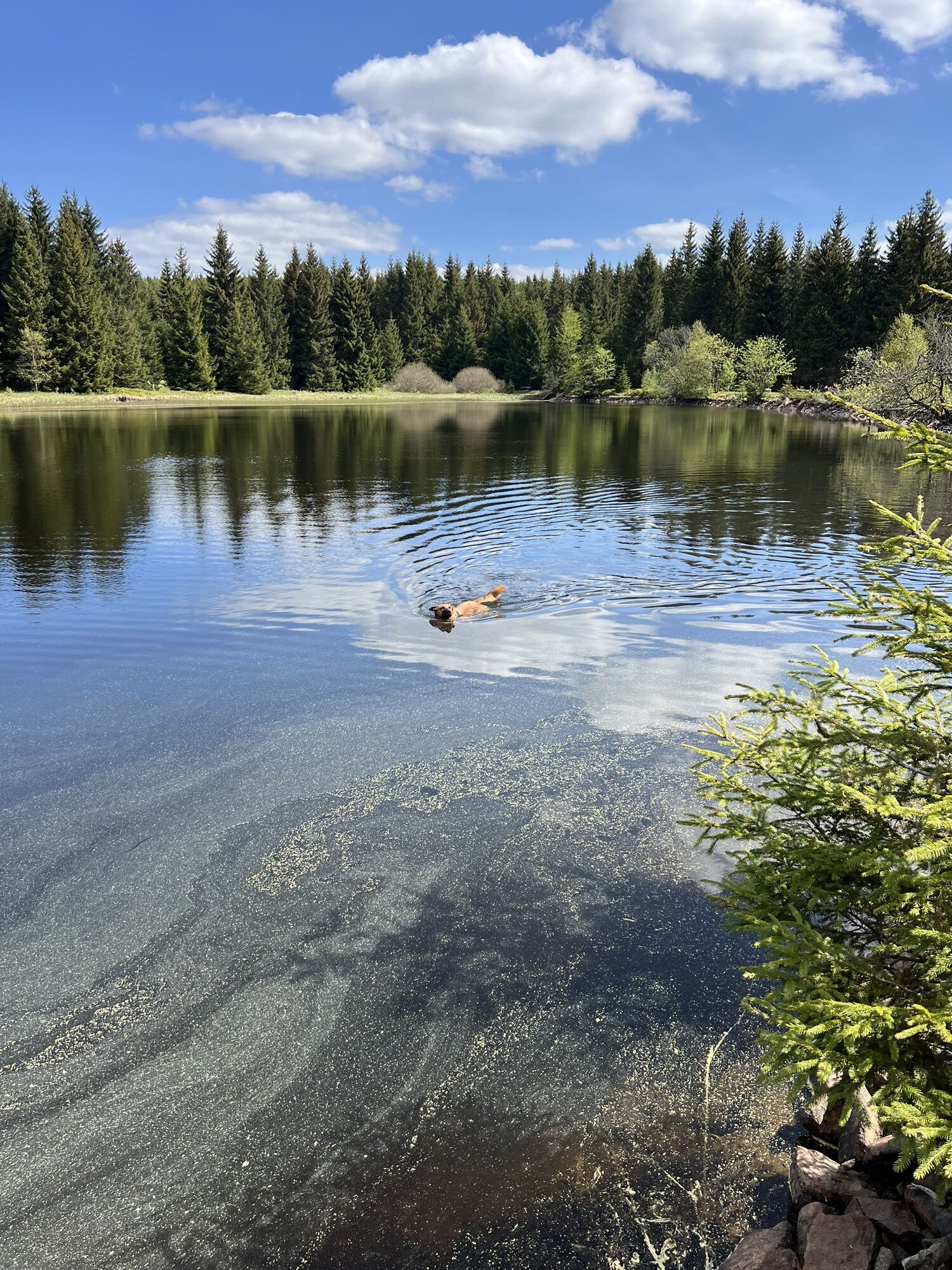
Wanderung mit Hund und Familie
średniWędrówka6,86 km Wanderung zum Katzenstein
ciężkiWędrówka5,68 km- 4,0
Blockhausen
światłoWędrówka3,02 km
Wędrówki i tropienie


Nie przegap ofert i inspiracji na następne wakacje
Twój adres e-mail została dodana do listy mailingowej.