


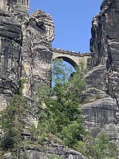
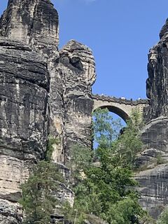
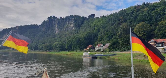
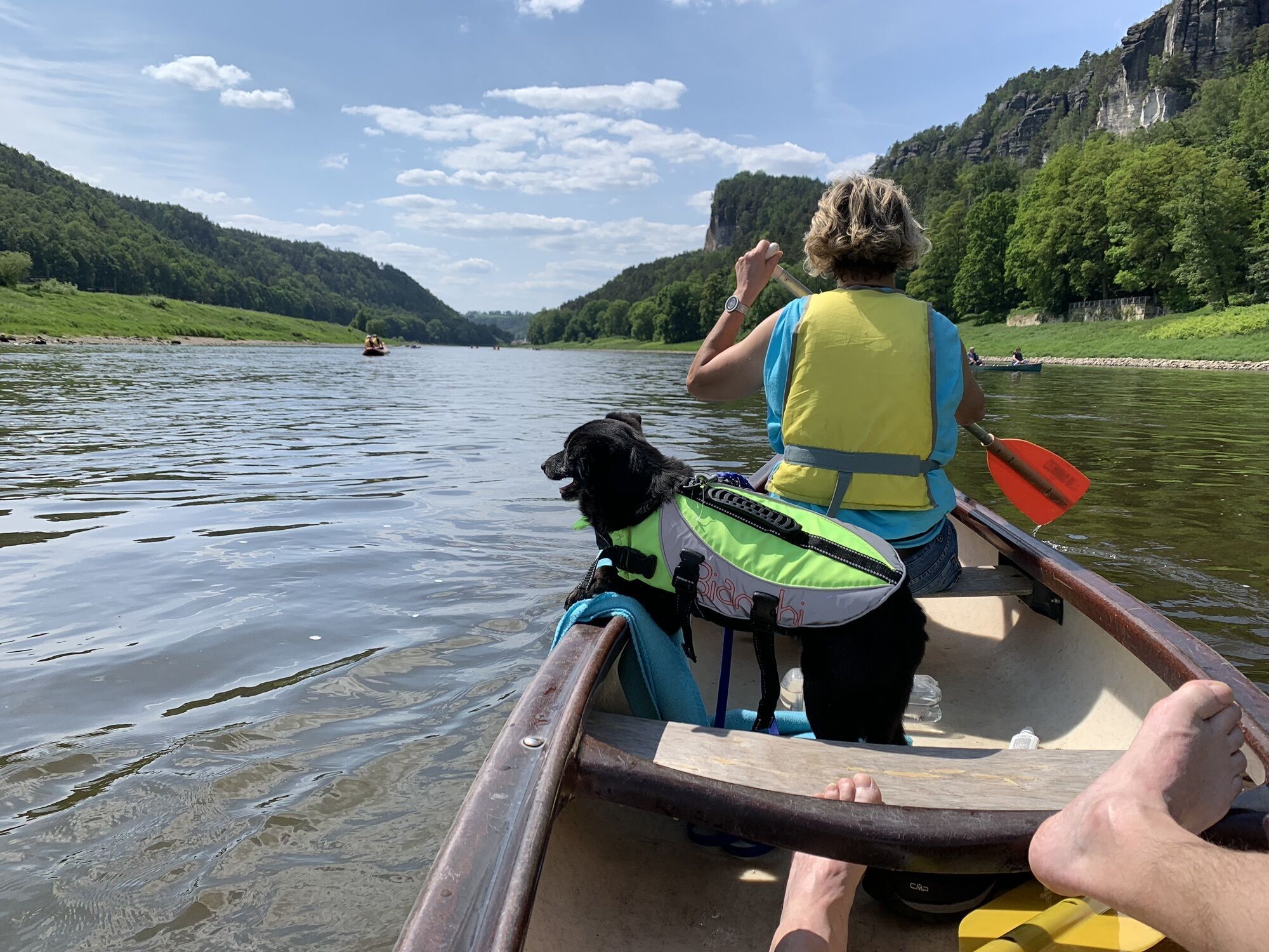
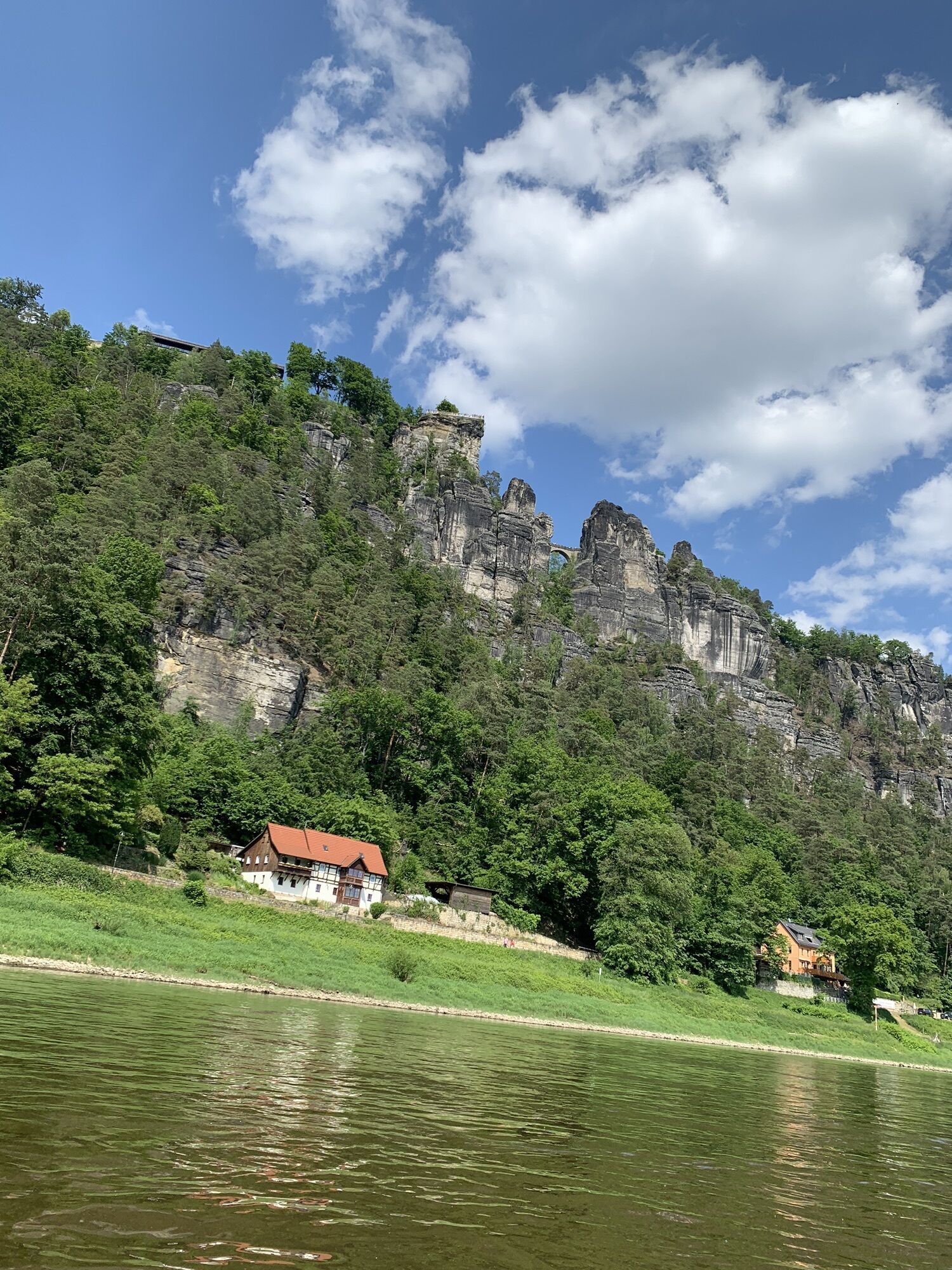
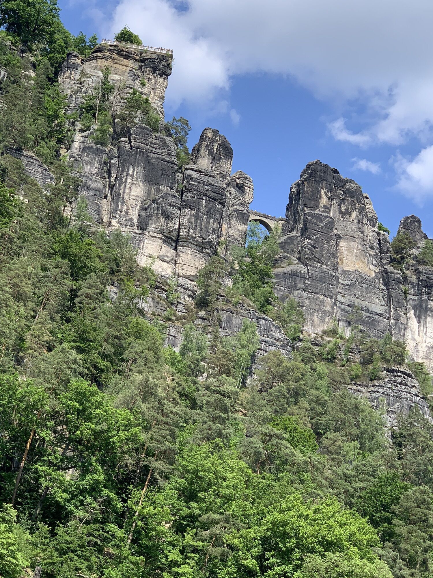
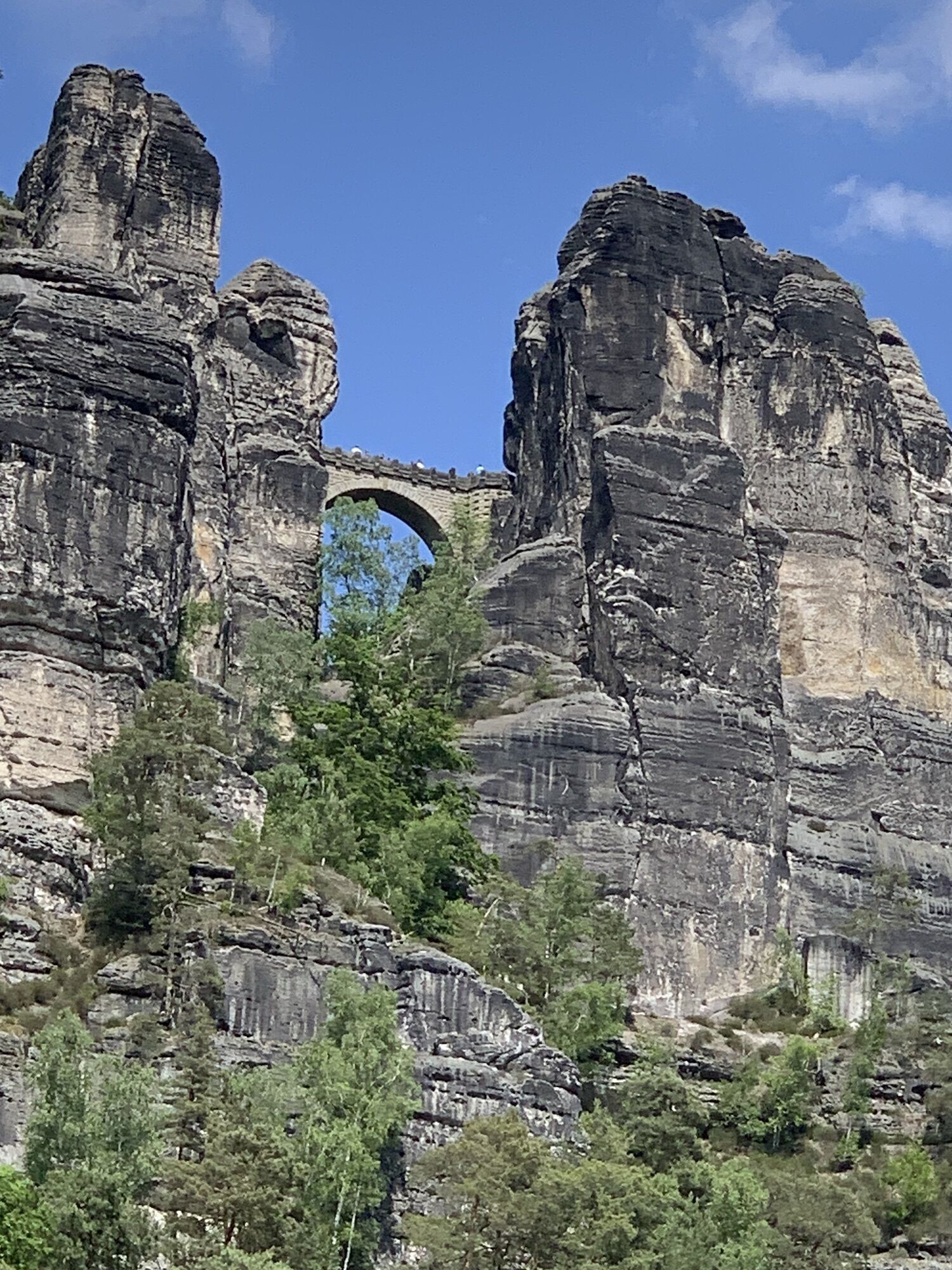
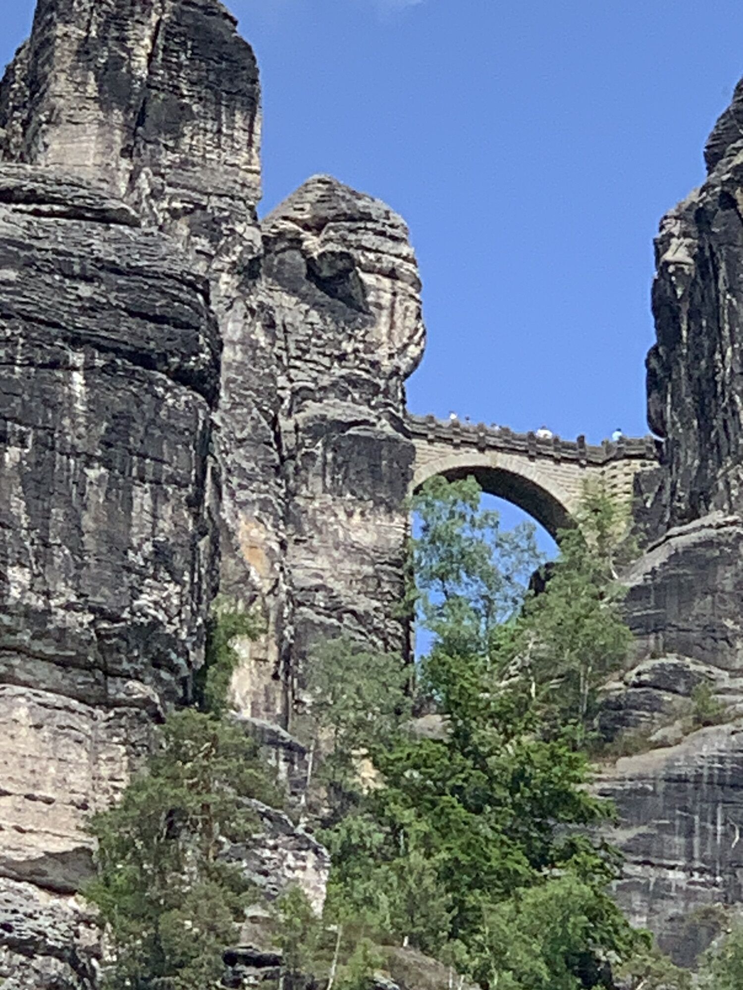
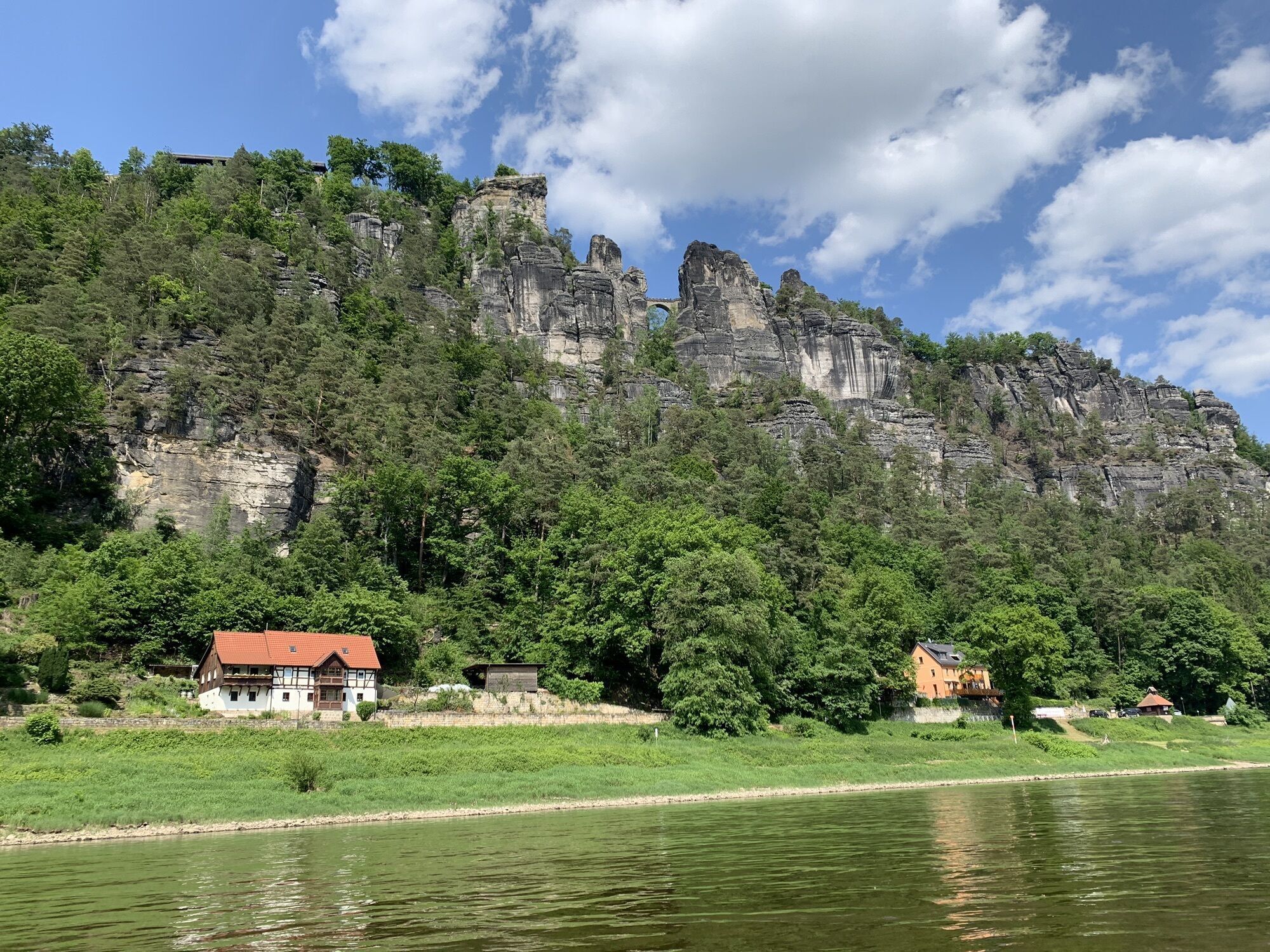
Around the Bastei Bridge
Zdjęcia naszych użytkowników
-
 © Ma WaUtworzono dnia 04.02.2025
 -
 © Ma WaUtworzono dnia 04.02.2025
 -
 © Ma WaUtworzono dnia 04.02.2025
 -
 © Ma WaUtworzono dnia 04.02.2025
 -
 © Ma WaUtworzono dnia 04.02.2025
 -
 © Stephan KaupertUtworzono dnia 29.05.2023
 -
 © Stephan KaupertUtworzono dnia 29.05.2023
 -
 © Stephan KaupertUtworzono dnia 29.05.2023
 -
 © Stephan KaupertUtworzono dnia 29.05.2023
 -
 © Stephan KaupertUtworzono dnia 29.05.2023
 -
 © Stephan KaupertUtworzono dnia 29.05.2023
 -
 © Stephan KaupertUtworzono dnia 29.05.2023
 -
 © Stephan KaupertUtworzono dnia 29.05.2023
 -
 © berg-wandererUtworzono dnia 28.04.2026
 -
 © berg-wandererUtworzono dnia 28.04.2026
 -
 © berg-wandererUtworzono dnia 28.04.2026
 -
 © berg-wandererUtworzono dnia 28.04.2026
 -
 © berg-wandererUtworzono dnia 28.04.2026
 -
 © berg-wandererUtworzono dnia 28.04.2026
 -
 © RMMUtworzono dnia 06.04.2026
 -
 © RMMUtworzono dnia 06.04.2026
 -
 © RMMUtworzono dnia 06.04.2026
 -
 © RMMUtworzono dnia 06.04.2026
 -
 © RMMUtworzono dnia 06.04.2026
 -
 © RMMUtworzono dnia 06.04.2026
 -
 © Holger TurbanUtworzono dnia 29.03.2026
 -
 © Holger TurbanUtworzono dnia 29.03.2026
 -
 © Januar YUtworzono dnia 21.03.2026
 -
 © berg-wandererUtworzono dnia 07.03.2026
 -
 © berg-wandererUtworzono dnia 07.03.2026
 -
 © berg-wandererUtworzono dnia 07.03.2026
 -
 © berg-wandererUtworzono dnia 07.03.2026
 -
 © berg-wandererUtworzono dnia 07.03.2026
 -
 © berg-wandererUtworzono dnia 07.03.2026
 -

 © hochlandfamilieUtworzono dnia 01.03.2026
 -
 © steffen preussUtworzono dnia 31.10.2025
 -
 © Jens GebauerUtworzono dnia 02.10.2025
 -
 © Jens GebauerUtworzono dnia 02.10.2025
 -
 © DimaUtworzono dnia 30.09.2025
 -
 © DimaUtworzono dnia 30.09.2025
 -
 © Michaela FischerUtworzono dnia 18.09.2025
 -

 © Petra BohringerUtworzono dnia 16.09.2025
 -
 © Petra BohringerUtworzono dnia 16.09.2025
 -
 © MoniUtworzono dnia 14.09.2025
 -
 © MoniUtworzono dnia 14.09.2025
 -
 © MoniUtworzono dnia 14.09.2025
 -
 © MoniUtworzono dnia 14.09.2025
 -
 © Januar YUtworzono dnia 13.09.2025


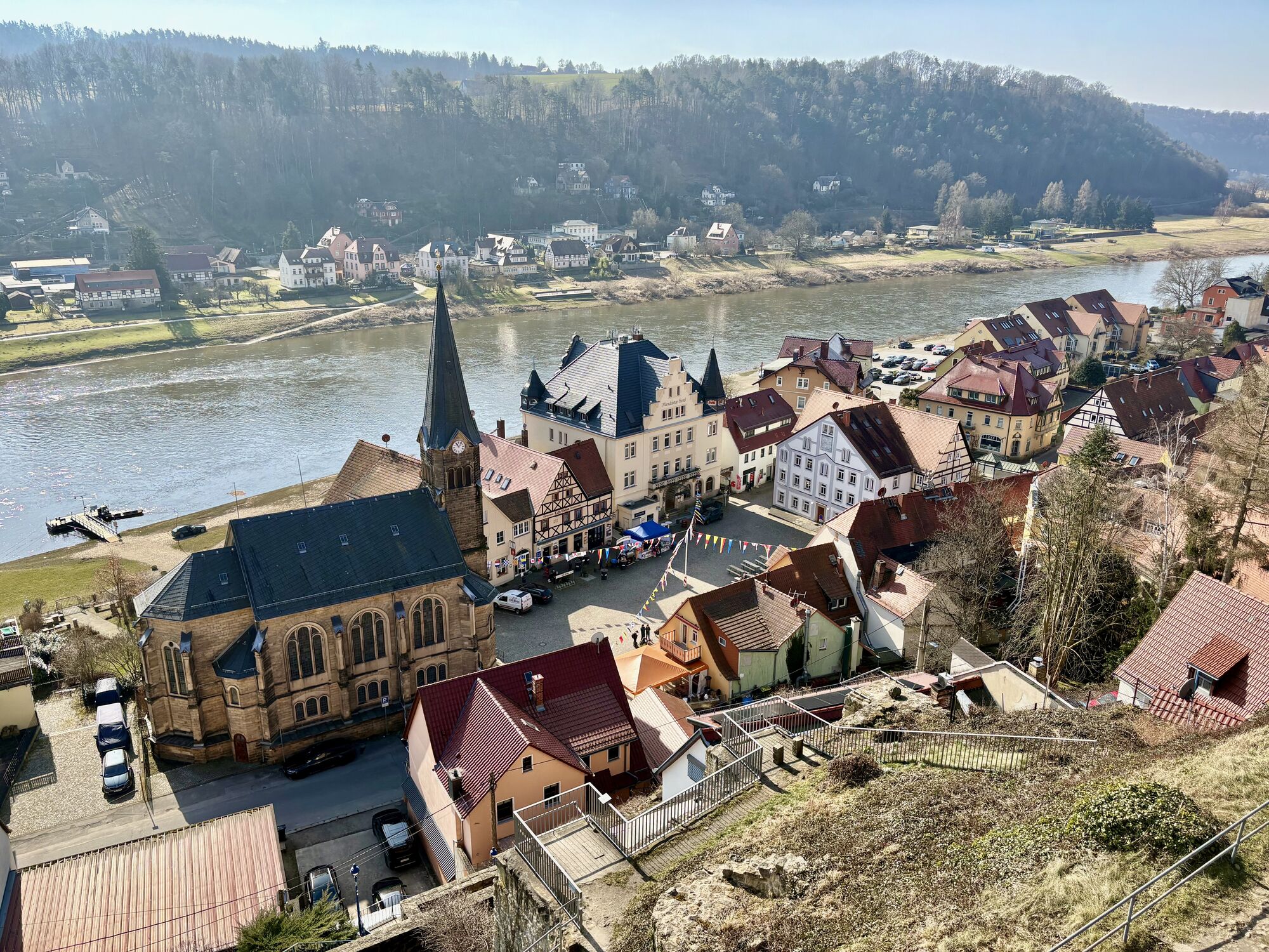


Our suggestion starts in Stadt Wehlen at the ferry. Of course, it is also possible to start in other places, such as Hohnstein or Kurort Rathen.
From the market, the tour leads a few metres up the main...
Our suggestion starts in Stadt Wehlen at the ferry. Of course, it is also possible to start in other places, such as Hohnstein or Kurort Rathen.
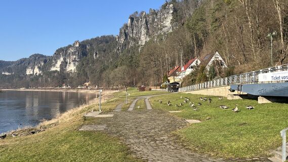
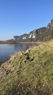
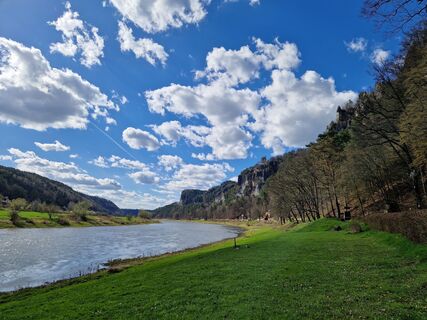
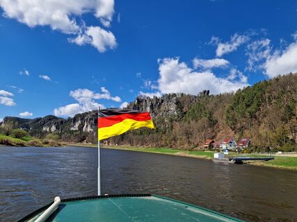
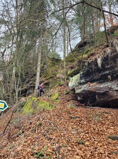
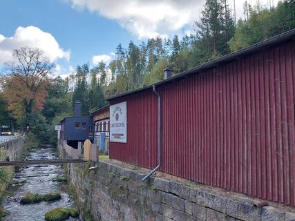
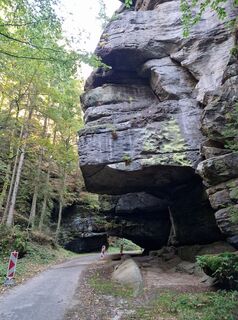
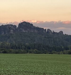
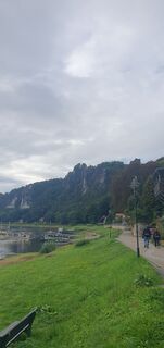
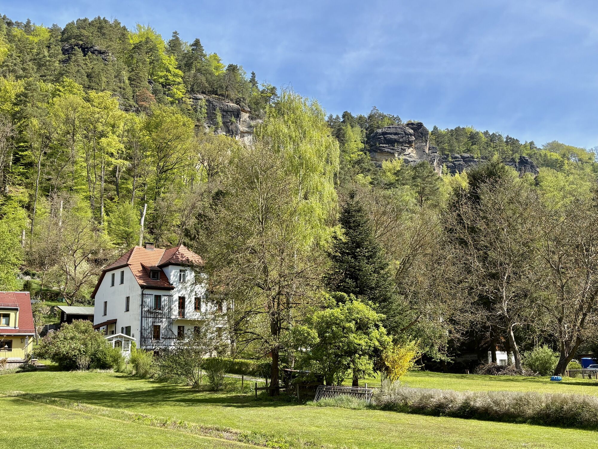
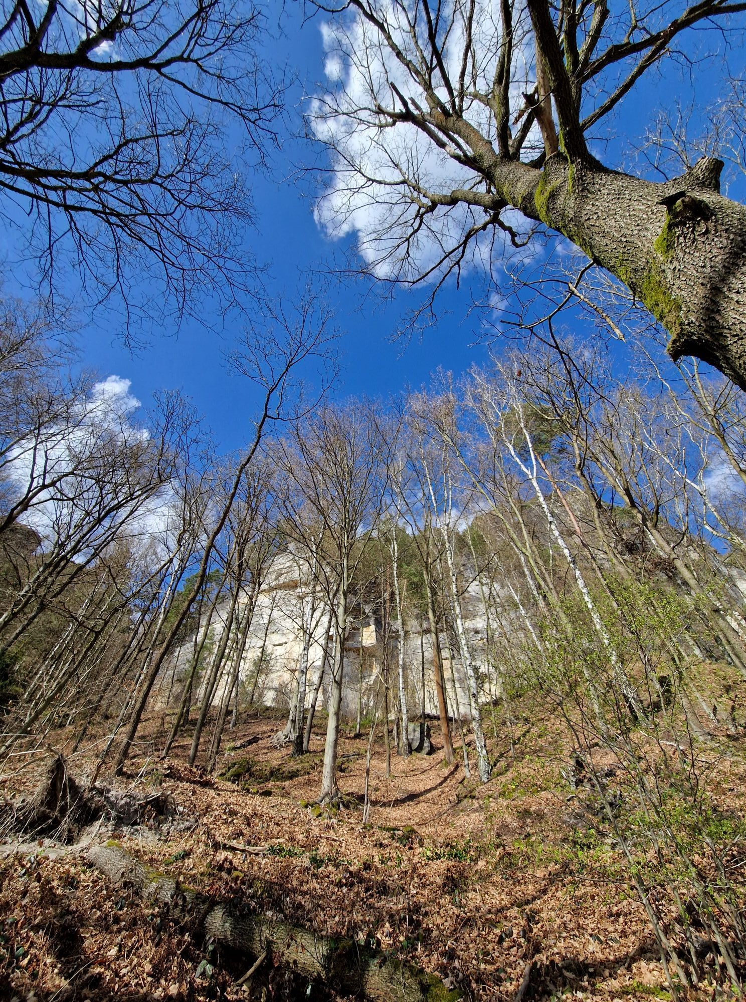
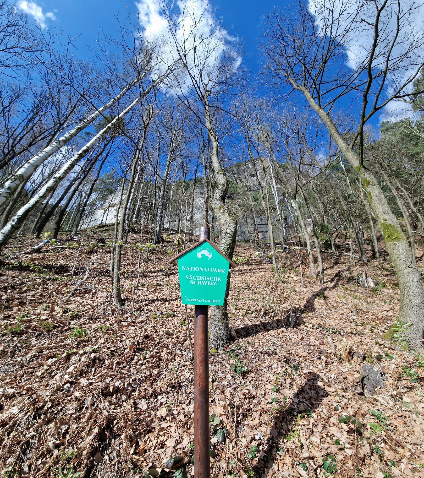
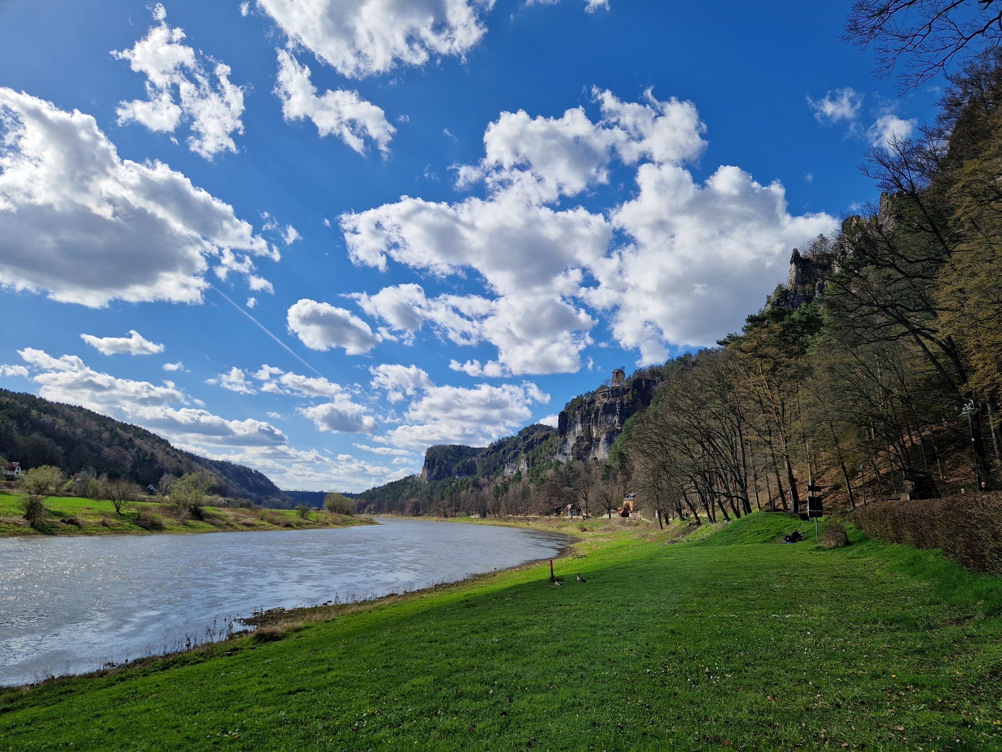
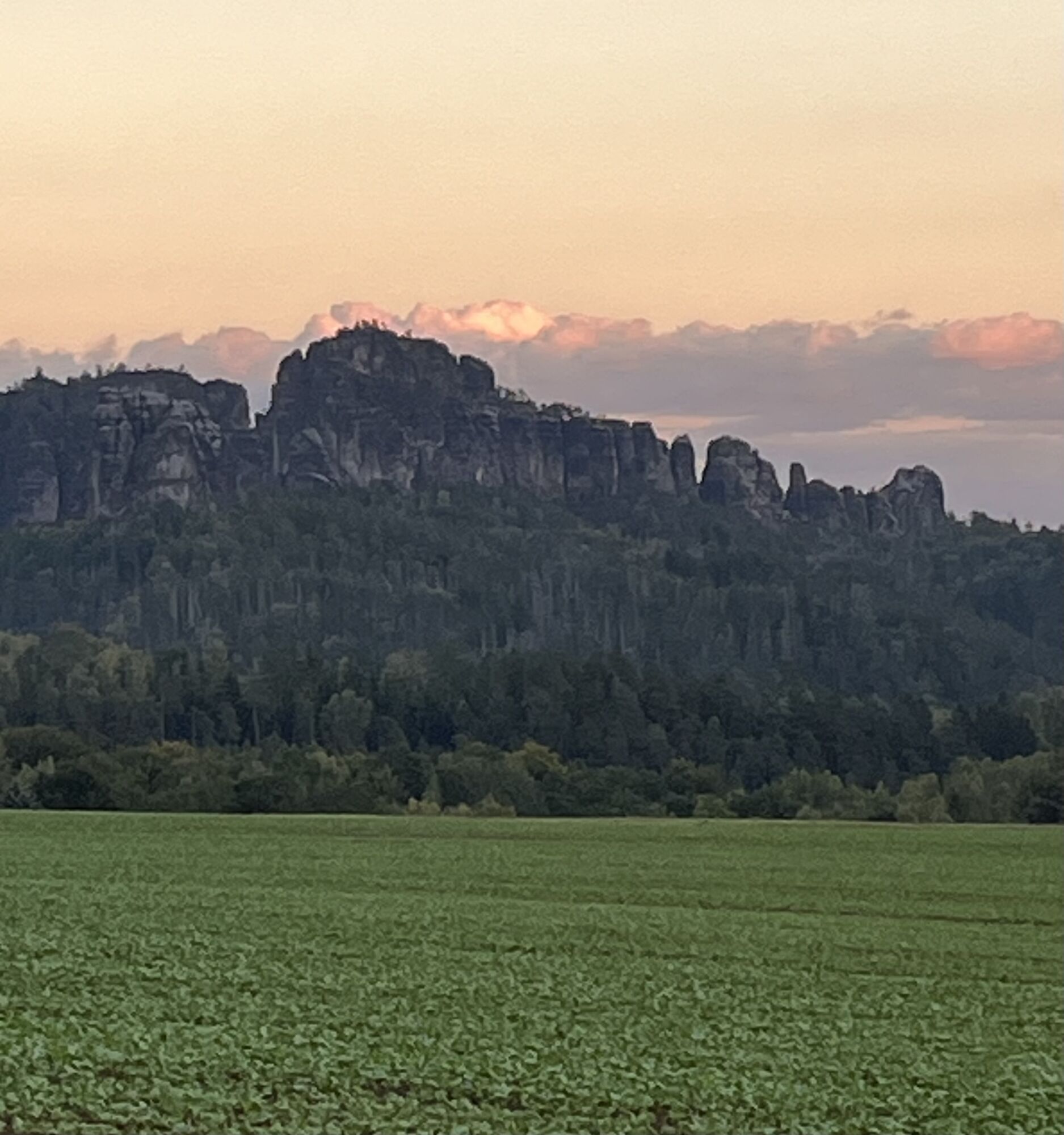
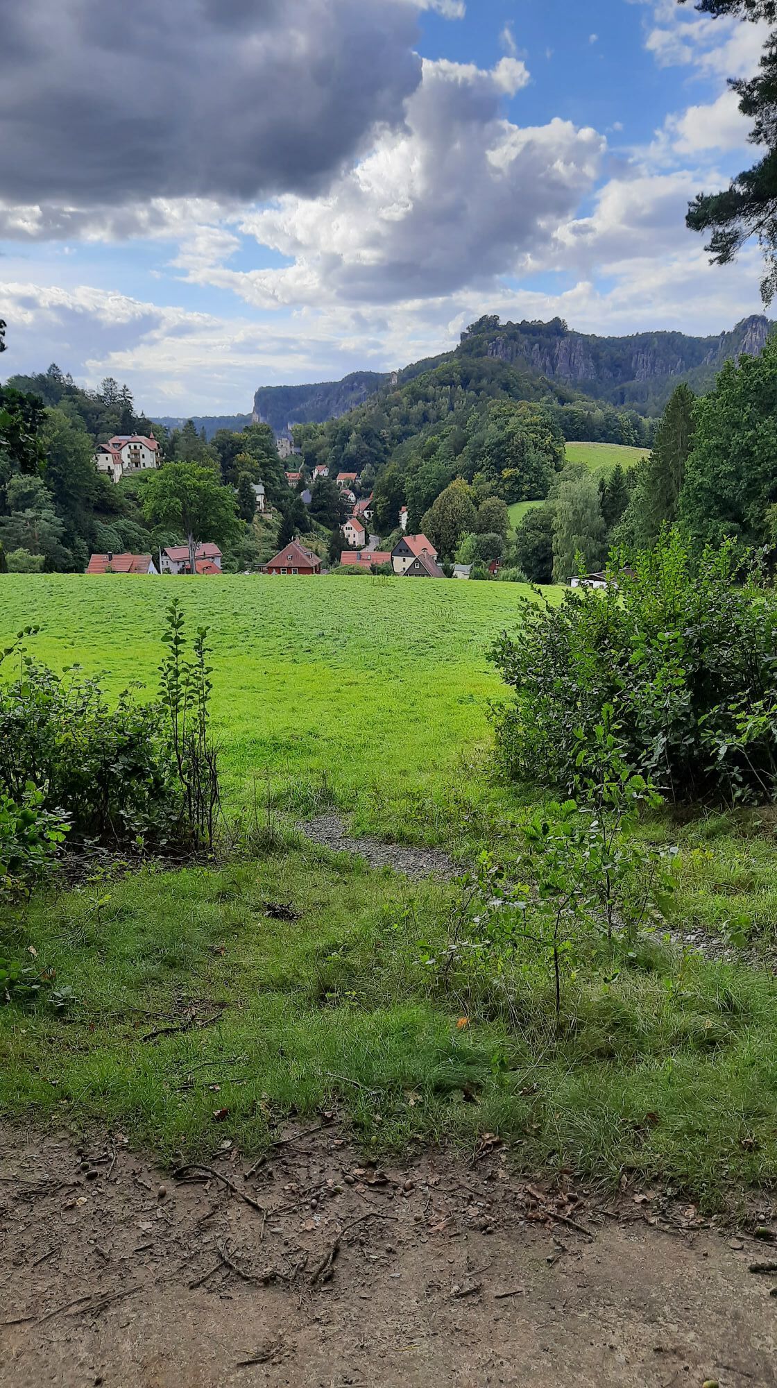
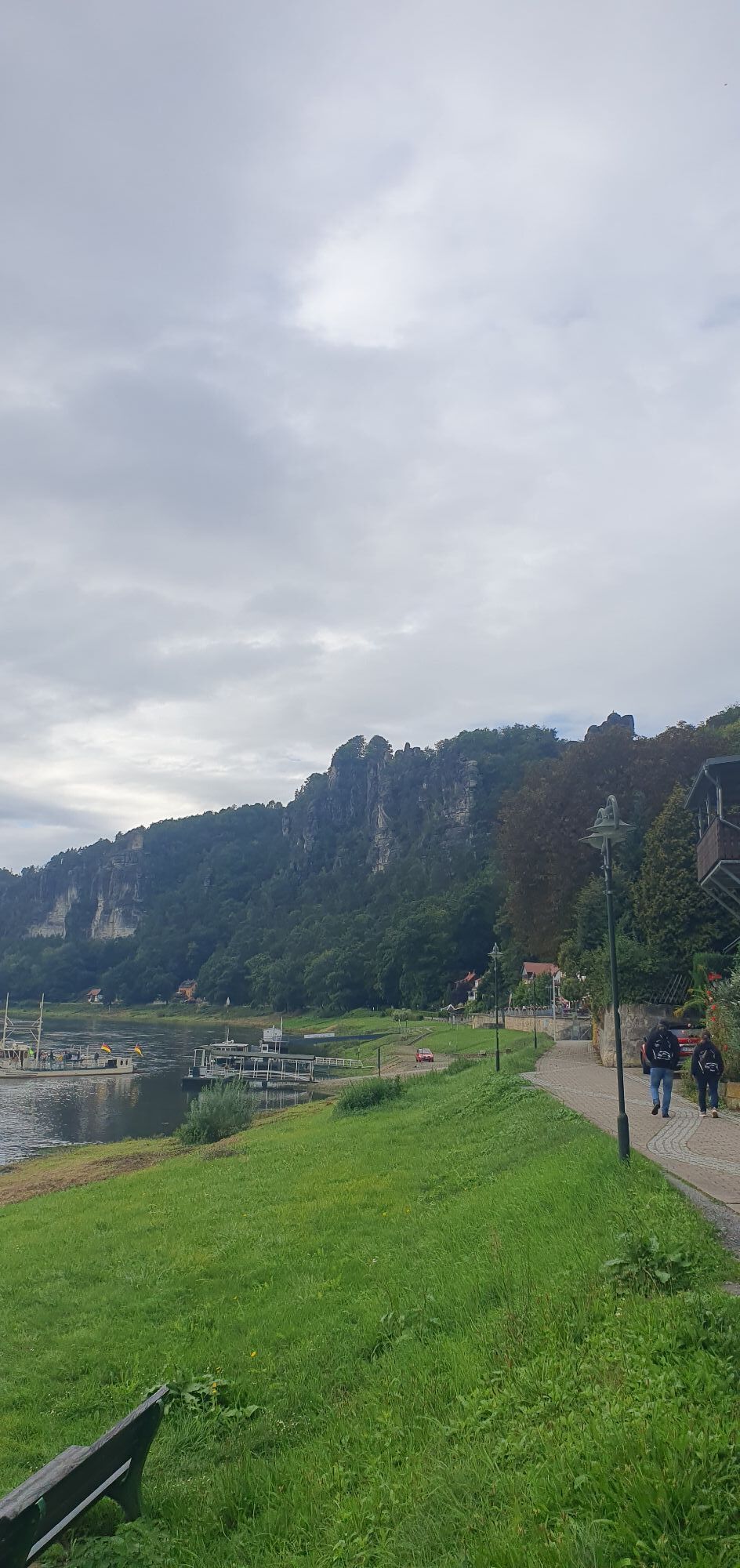
From the market, the tour leads a few metres up the main road and reaches the Wehlener Grund on the right. The area is part of the Saxon Switzerland National Park. About 50 kilometres of cycle tours are signposted there. The section in the Grund is one of the most impressive. Below rocks, the path winds its way up to the Basteistraße. The view down to the Elbe remains unforgettable, so the detour to the Basteiaussicht is almost obligatory.
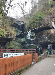
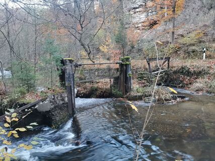
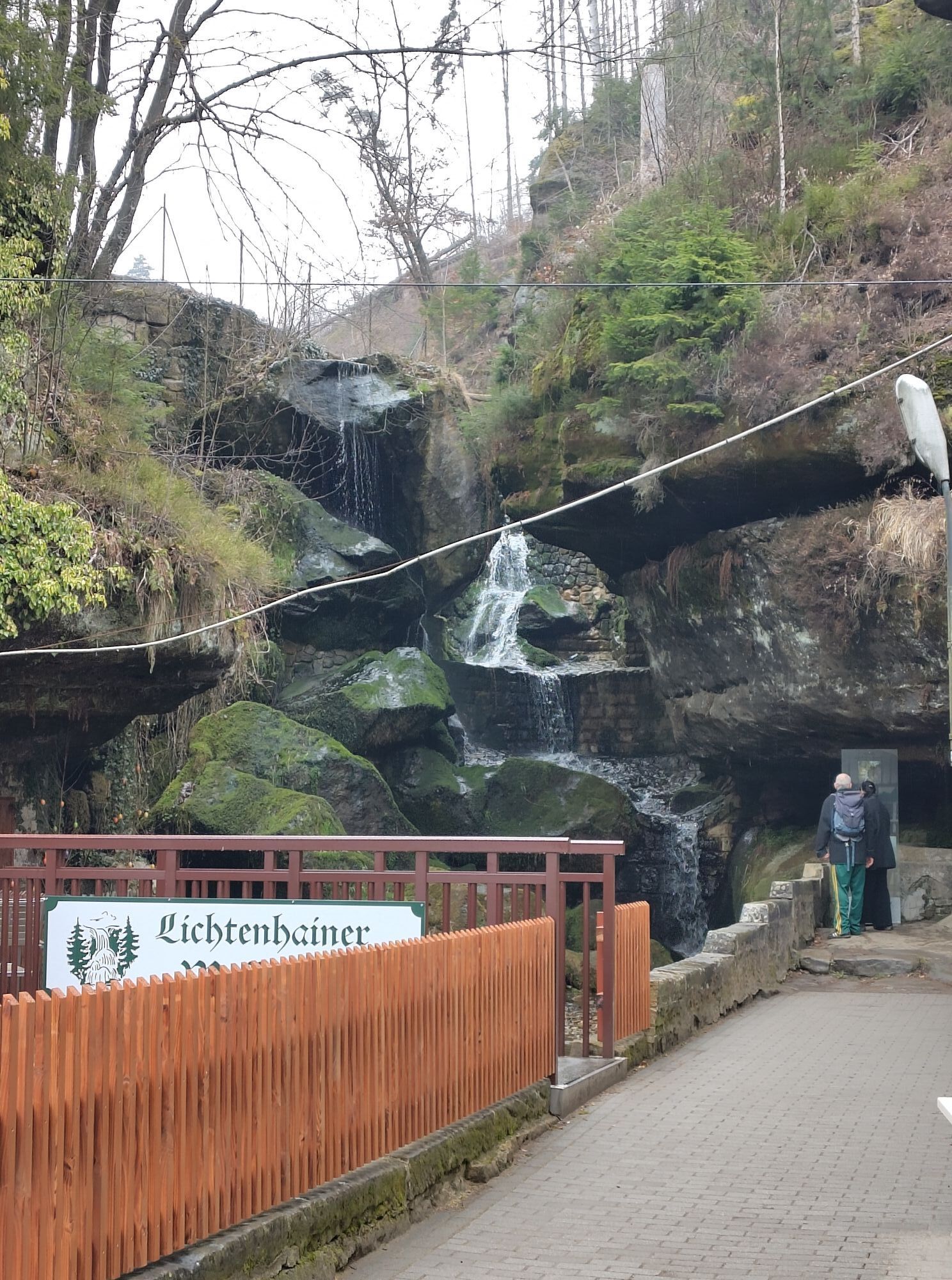
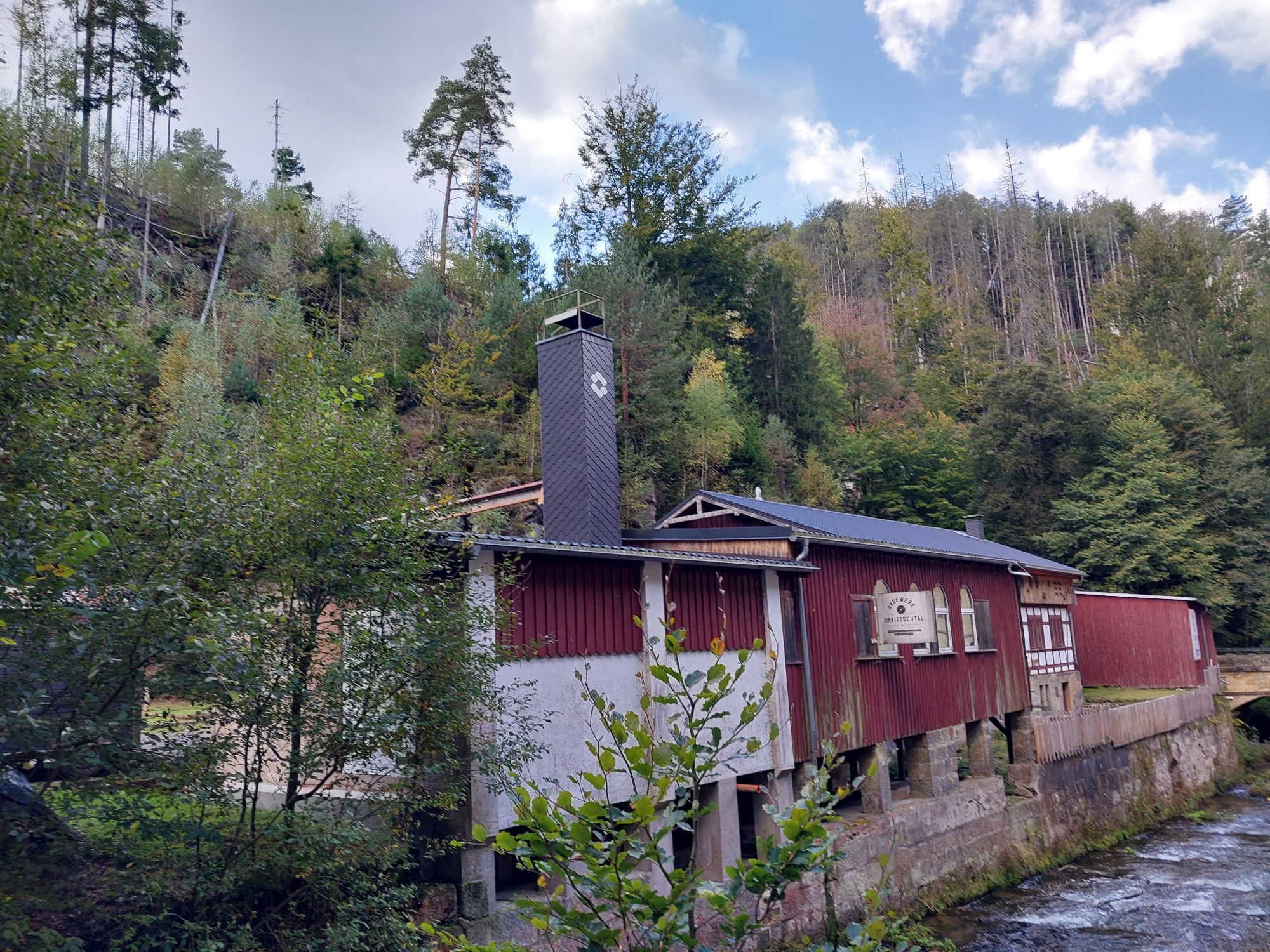
The cycle path to Rathewalde, Hohburkersdorf, Heeselicht and on to Hohnstein is well developed and marked with a yellow dot. The serpentines up to Hohnstein are challenging, so a rest break at the castle or the open-air swimming pool is recommended. At the open-air swimming pool, the route turns left onto Sebnitzer Straße and a little later right onto Lohsdorfer Weg. From Lohsdorf, the route leads through Goßdorf to Kohlmühle. The route continues here along Panoramastraße to Altendorf, Mittelndorf and Lichtenhain. There, a short round trip via Saupsdorf, Hinterhermsdorf, through the Kirnitzsch valley to the Lichtenhain waterfall leads back to Lichtenhain.
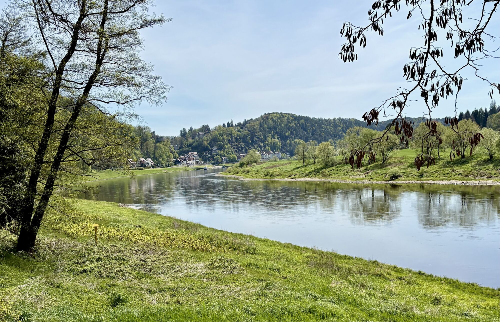
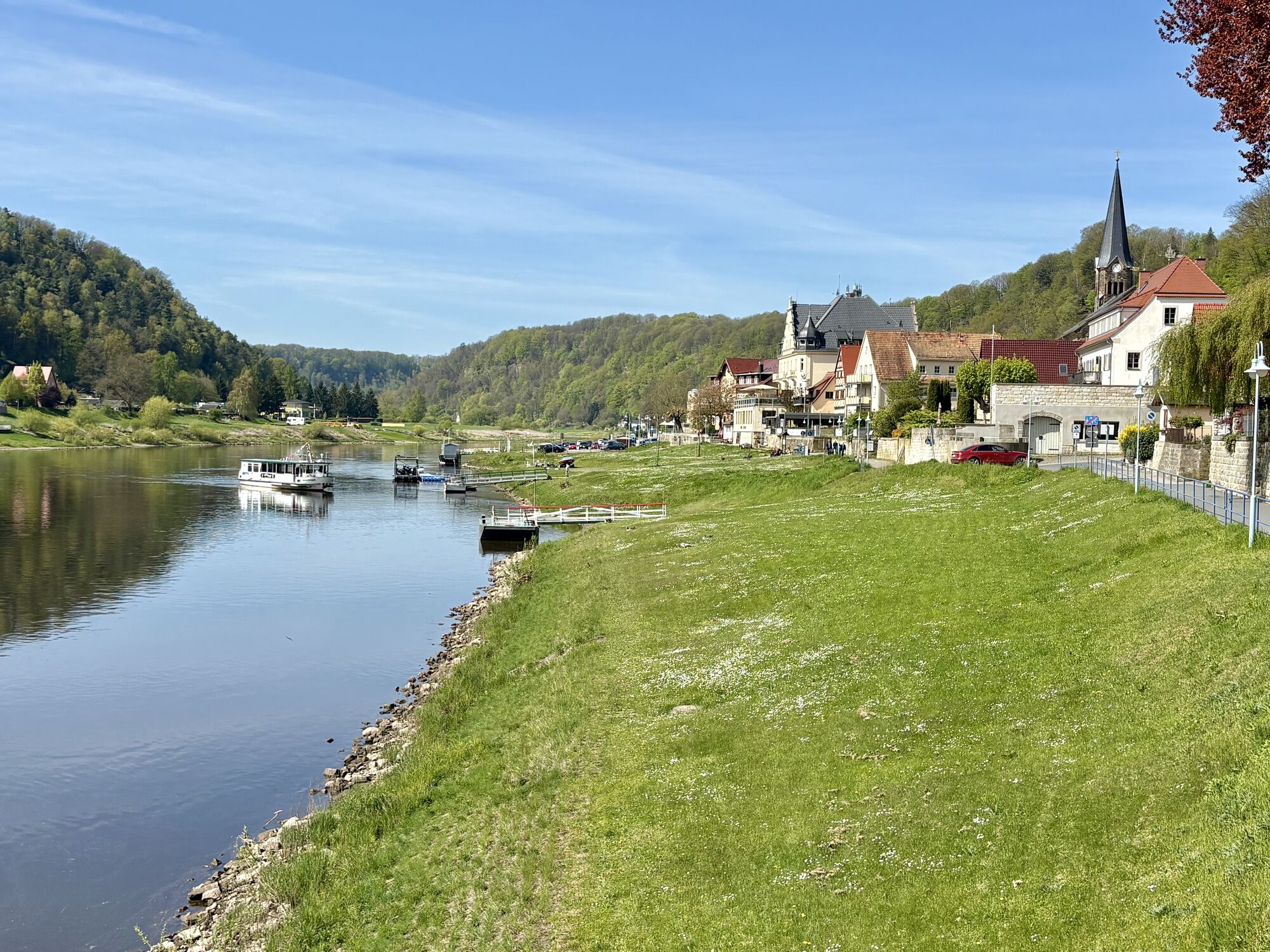
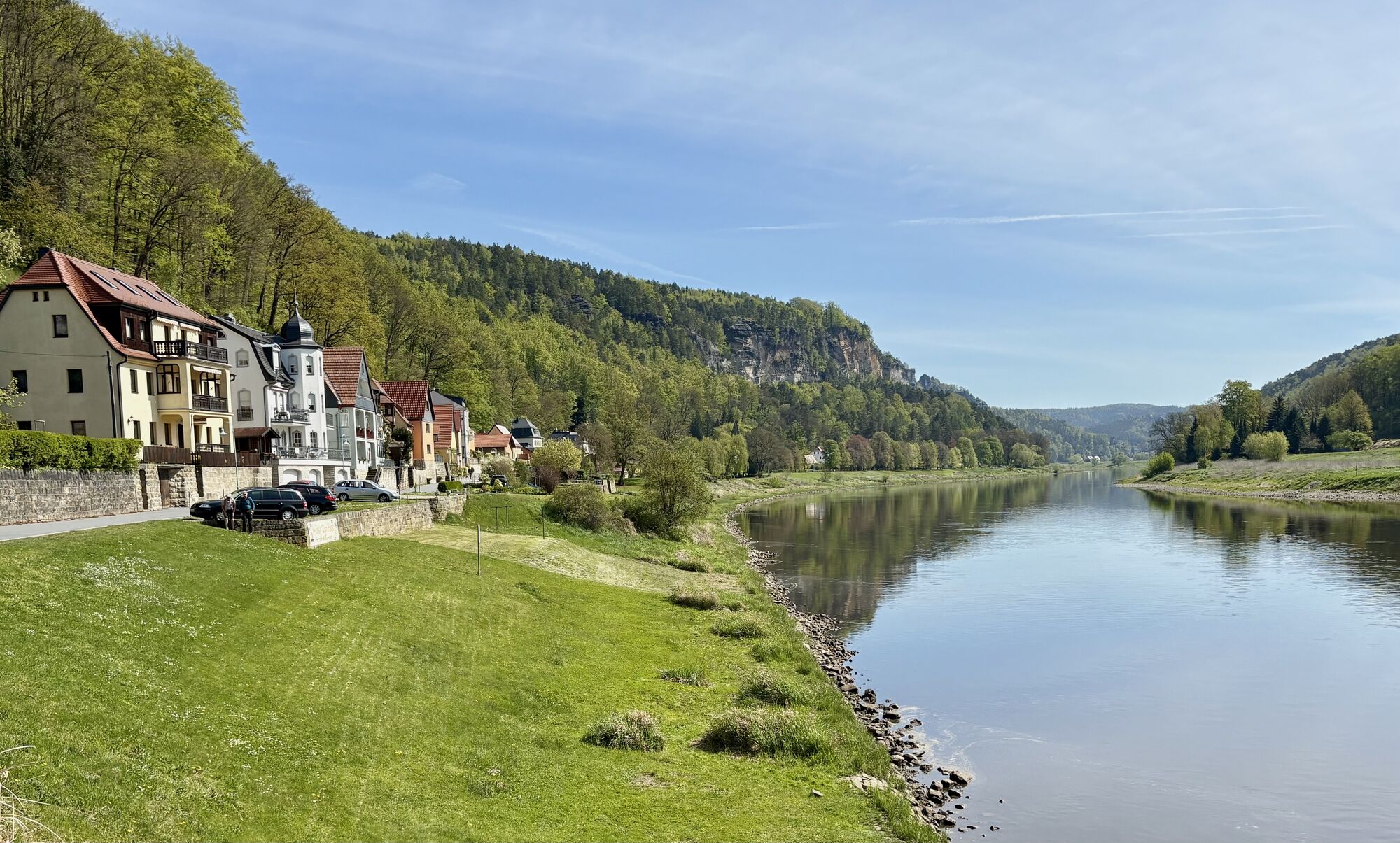
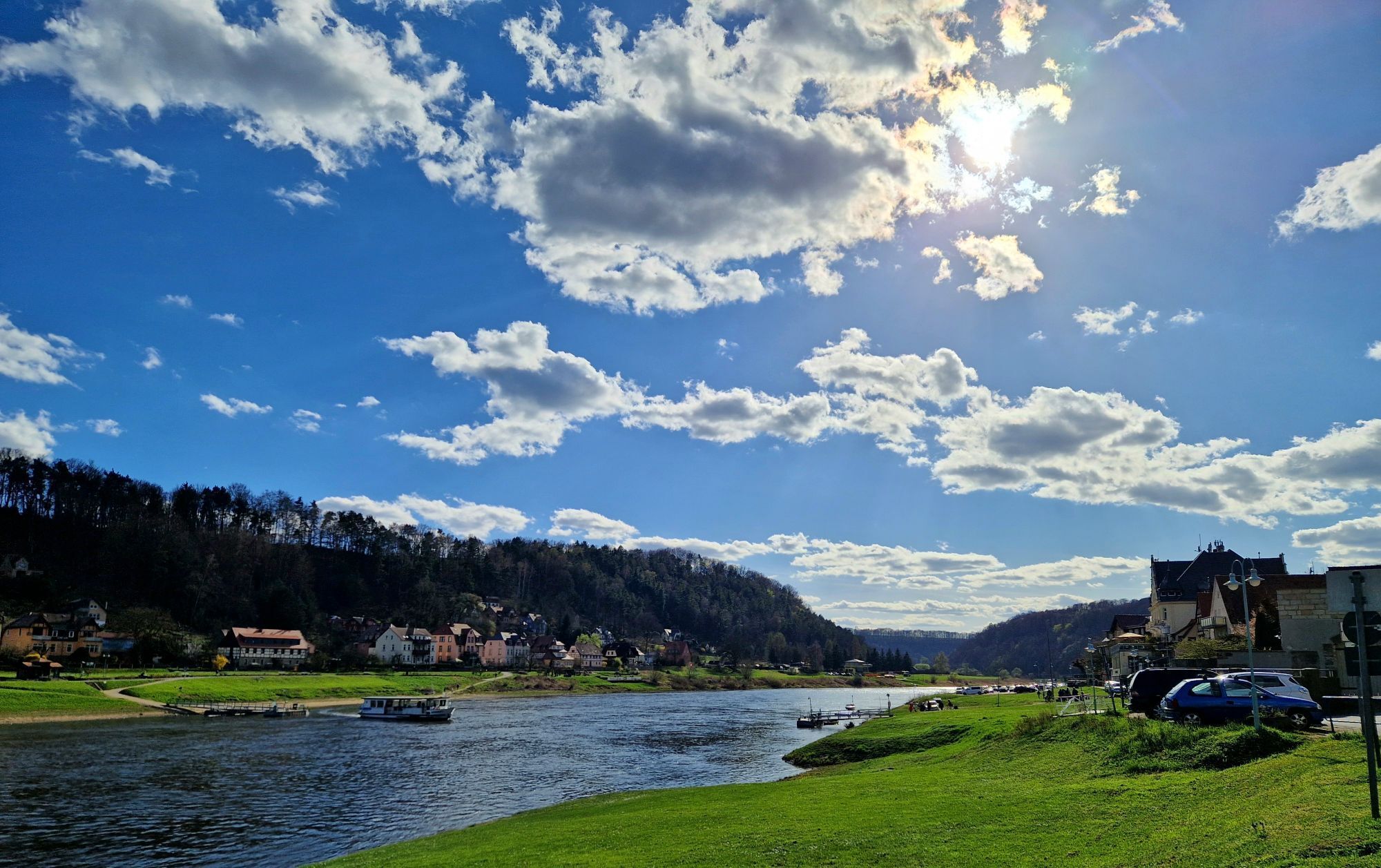
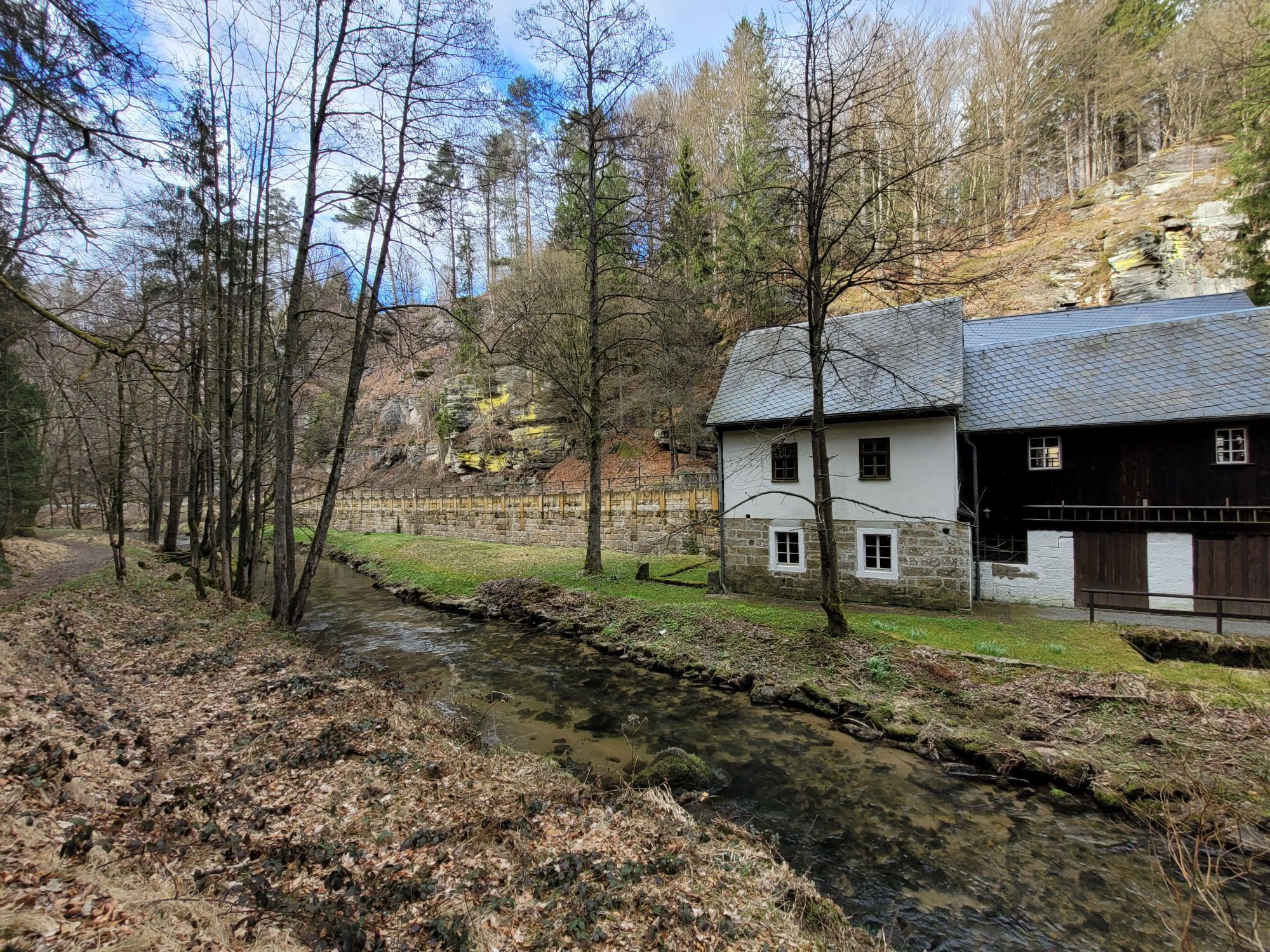
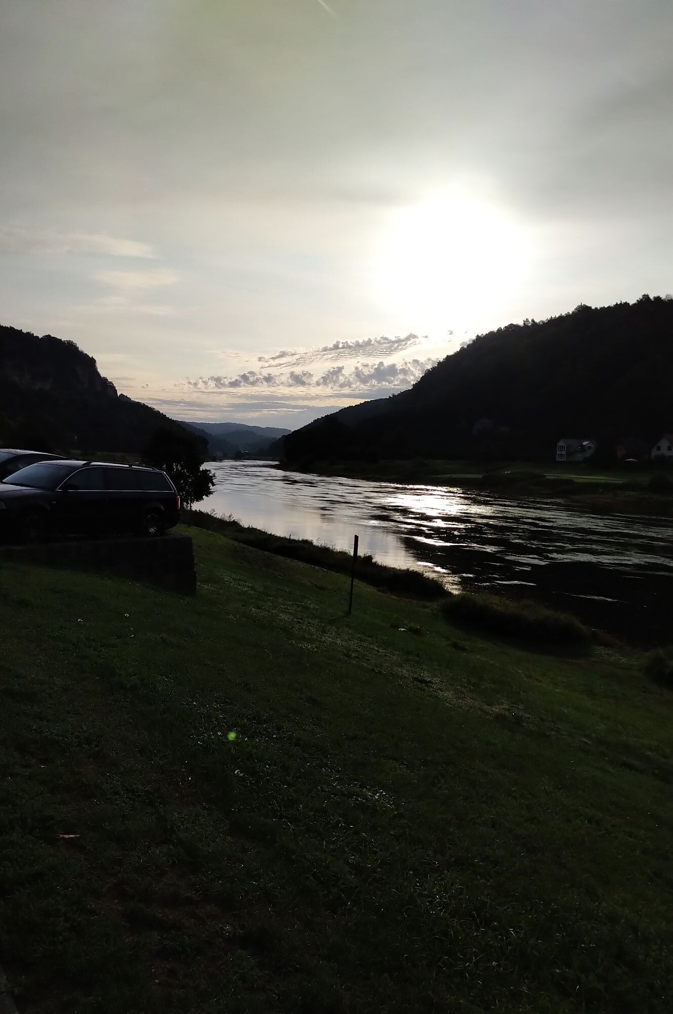
Back at the starting point in Lichtenhain, the route follows the already familiar route to Kohlmühle. The route leads along the Sebnitzbach stream to the Polenztal valley. Follow the Polenztal to the height of the Waltersdorfermühle. There the trail turns left to the S163, which you follow to the left for a short distance before turning right onto Rathener Straße. From there you roll comfortably down to Kurort Rathen and follow the Elbe to Stadt Wehlen.
Kamery internetowe z trasy
-
Rugiswalde Skilift
-
Krippen - Hönel Hof
-
Götzinger Höhe
-
Götzinger Höhe
-
Skilift Rugiswalde
-
Wachberg
-
Wachberg
-
Wachberg
-
Wachberg
-
Wachberg
-
Burgstadt Hohnstein
-
Nationalparkbahnhof
-
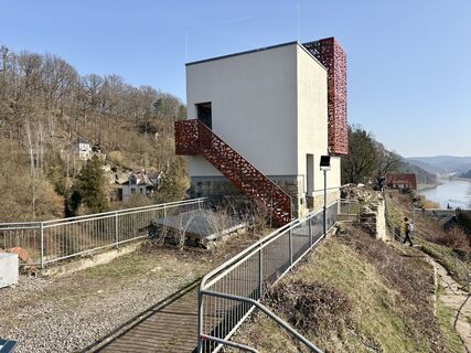
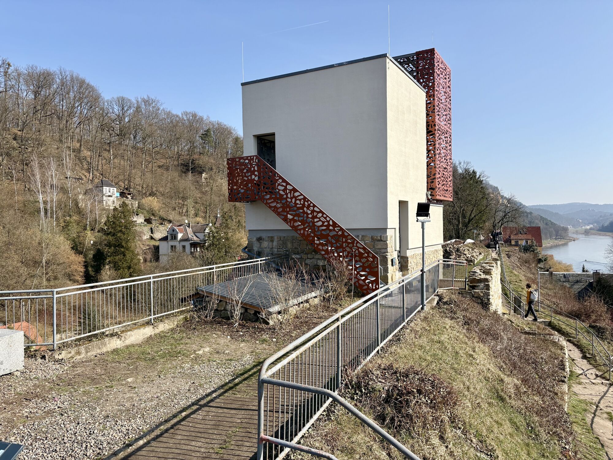
Aussichtsturm Rathmannsdorf
-
Aussichtsturm Rathmannsdorf
-
Aussichtsturm Rathmannsdorf
-
Aussichtsturm Rathmannsdorf
-
Aussichtsturm Rathmannsdorf
-
Aussichtsturm Rathmannsdorf
-
Oberrathen
-
Oberrathen
-
Oberrathen
-
Oberrathen
-
Oberrathen
-
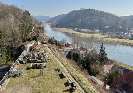
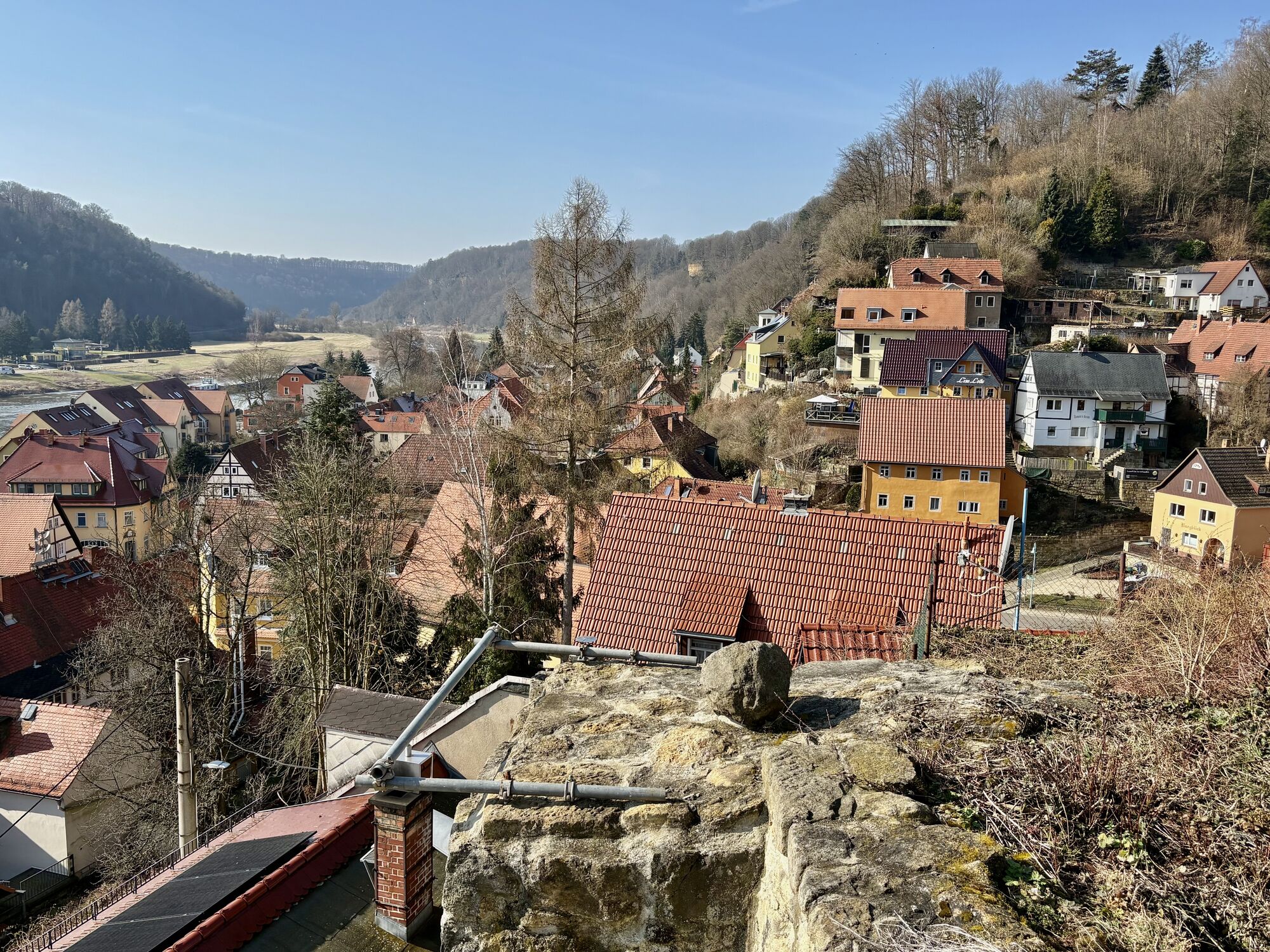
Burg Altrathen
-
Burg Altrathen
-
Burg Altrathen
-
Burg Altrathen
-
Burg Altrathen
Popularne wycieczki w okolicy
-
4,6
Von Rathewalde zur Bastei
Wędrówka 12,8 km -
4,7
Rathen / Hockstein / Bastei / Rathen
średniWędrówka 14,4 km -
4,9
Rundwanderung Bastei Schwendenlöcher -Amselsee
światłoWędrówka 6,21 km -
4,5
Kuhstall, Himmelsleiter und Schneiderloch
średniWędrówka 4,06 km -
5,0
Basteibrücke
światłoWędrówka 2,31 km -
4,7
Pfaffenstein Sachsen/Deutschland
średniWędrówka 3,89 km -
5,0
Prebischtor
średniWędrówka 18,9 km -
5,0
entlang der Schrammsteine, Breite Kluft, Affenwand
średniWędrówka 11,6 km -
5,0
Lilienstein
światłoWędrówka 3,75 km -
5,0
Traumrunde
ciężkiWędrówka 10,3 km
Wędrówki i tropienie


Nie przegap ofert i inspiracji na następne wakacje
Twój adres e-mail została dodana do listy mailingowej.