






Village romance for young and old
Poziom trudności: 4

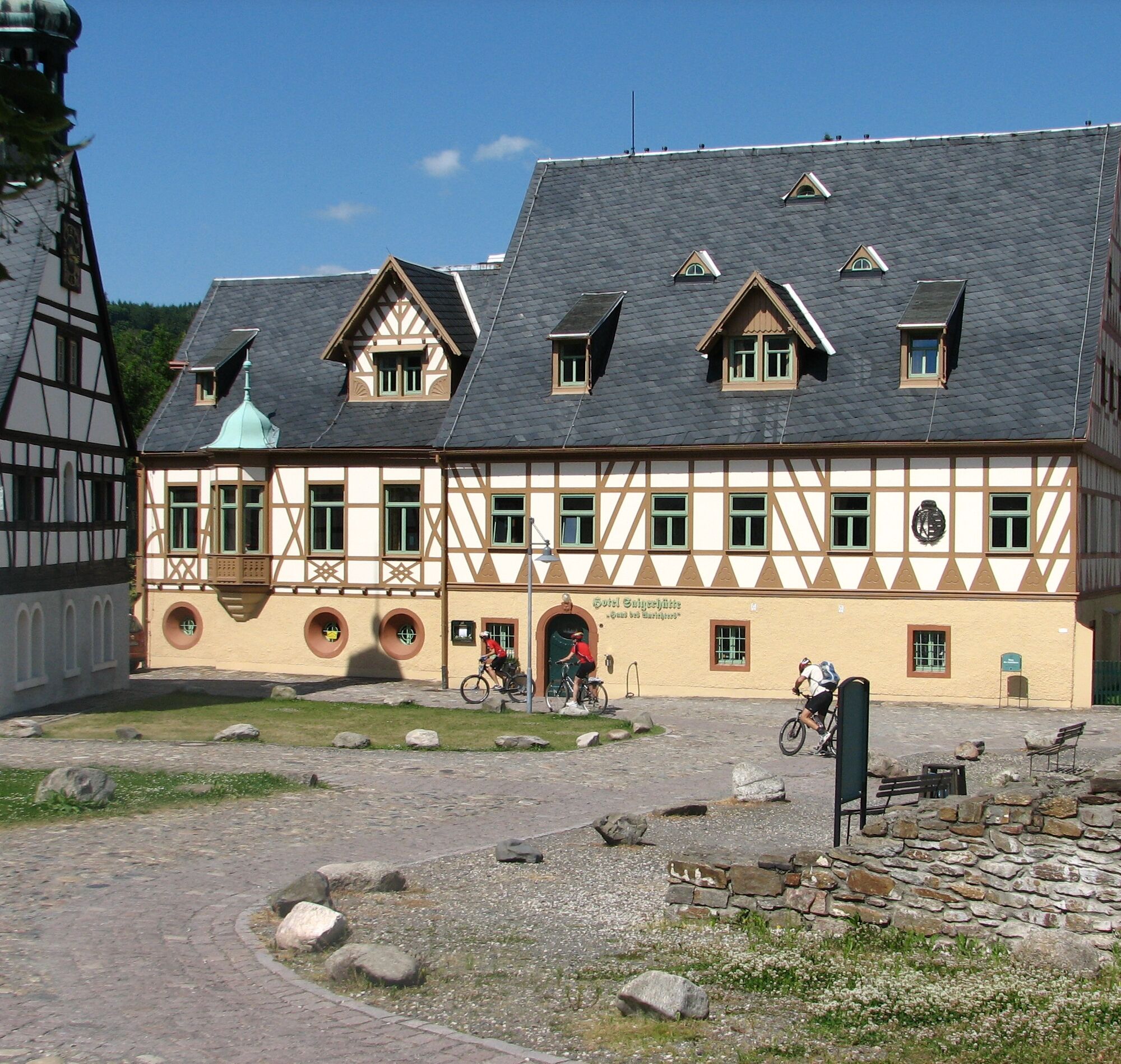

The route starts at the Saigerhütte Olbernhau. First, we follow the Flöhatal cycle path to the center of Olbernhau (town hall). Then it continues through the shopping street of Olbernhau (please push briefly - one-way street!), further via the market to the traffic light intersection, then right via "Mühlgässchen" and "Auf der Bleiche", following the signposted cycle path through small gardens and meadows. The Flöhatal cycle path then accompanies us again through Blumenau, Reukersdorf, Hammer and Wernsdorf (steep climb). After leaving the town at the height we leave the Flöhatal cycle path and ride on quiet narrow roads via Forchheim, Haselbach to Dörnthal. Possible stop at the oil mill or Braunmühle (inn). From there through the village of Dörnthal further to Sayda (caution: federal road), steep climb to Sayda. In the center, we turn right into "Alte Heidersdorfer Straße". Continue through lush meadows, turn right into Heidersdorf, from now on the route partly leads along the meadow on a gravel road. Another climb over Relhök to the forest junction "Hand". There turn left towards Saigerhütte (steep descent) via Hüttengrund to the start.
Tak
Bus, train
at Hotel Saigerhütte
4
Hotel Saigerhütte, Brit & Markus Gorny, In der Hütte 9, 09526 Olbernhau, Tel. 037360-7870, info@saigerhuette.de, www.saigerhuette.de
RADschlag
Getting there
In Dörnthal:
• Oil mill – real Ore Mountains flax oil to try
• Fortified church with Silbermann organ
Dining
• Braunmühle inn, Dörnthal
• Kleines Vorwerk inn, Sayda
Service
Arrival by train: 300 m distance from Hotel Saigerhütte to Olbernhau-Grünthal station
New! Rental of e-bikes and bike station directly at the hotel
Popularne wycieczki w okolicy
-
4,8
Katzenstein - Schwarzwassertal - Katzenstein
średniWędrówka 15,5 km -
5,0
First German bell hiking trail
ciężkiWędrówka 23,1 km -
In der Mitte thront der Schwartenberg - No 7 -
średniWędrówka 8,64 km -
5,0
Circular hike to the Rauschenbach reservoir
Wędrówka 9,52 km -
3,0
Day tour Kammweg around Neuhausen and the Schwartenberg
Wędrówka 12,5 km -
RR ERZ T10 Through the Schweinitz Valley to the toy village of Seiffen
średniJazda na rowerze 32,4 km -
5,0
Ore Mountain Cycle Main Route Krusnohorska Magistrala R23 Jeleni-Decin
średniJazda na rowerze 171,0 km -
3,5
Neuhausen/Erzgebirge nach Seiffen über den Schwartenberg
światłoWędrówka 14,3 km -
Neuhausen Panorama Trail -No 9-
średniWędrówka 10,1 km -
RR ERZ T09 Over Ahornberg to the Fláje dam back to the toy village
średniJazda na rowerze 39,5 km
Wędrówki i tropienie


Nie przegap ofert i inspiracji na następne wakacje
Twój adres e-mail została dodana do listy mailingowej.





