






On the road on the Karlsroute
Poziom trudności: 3
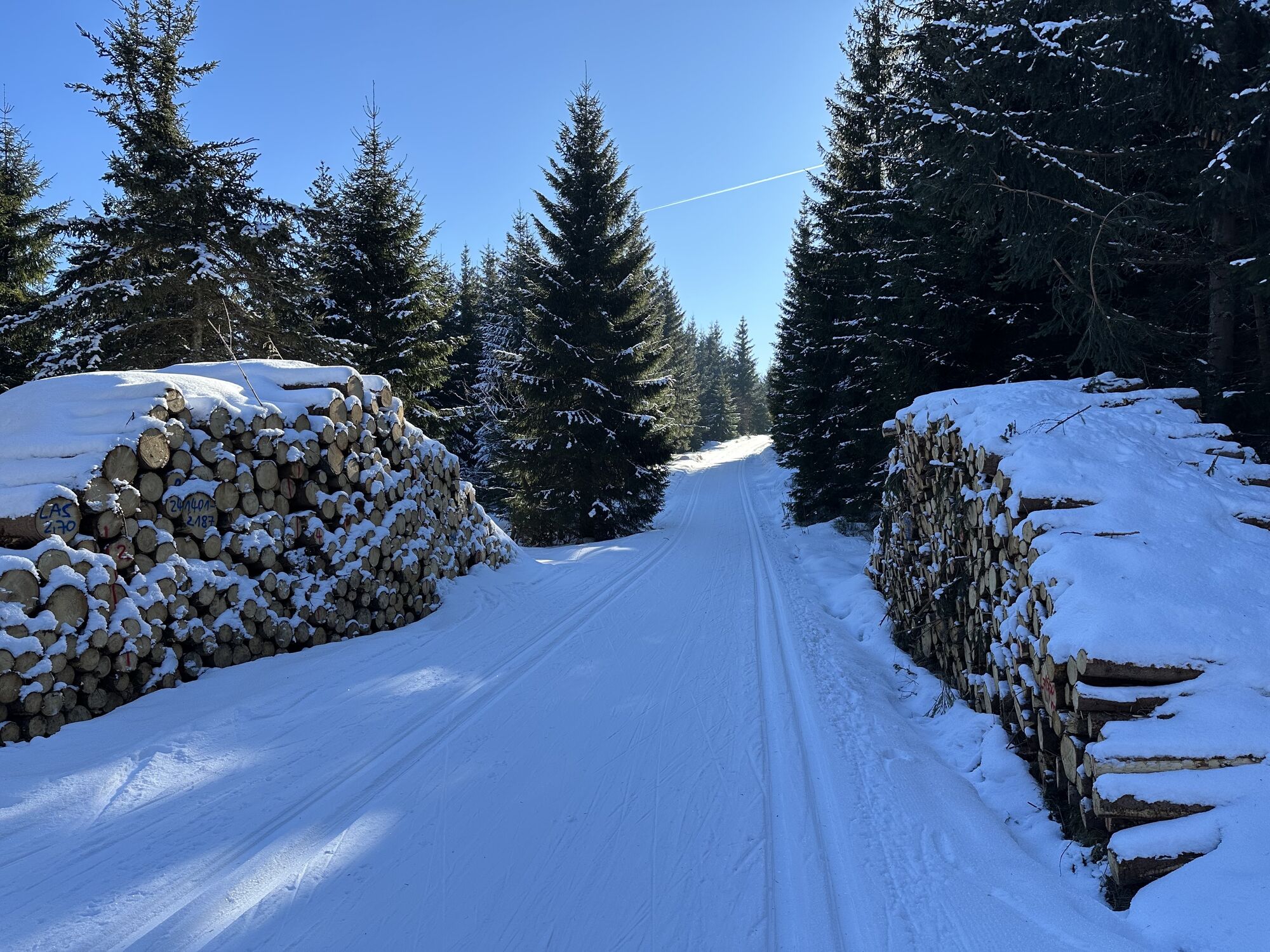
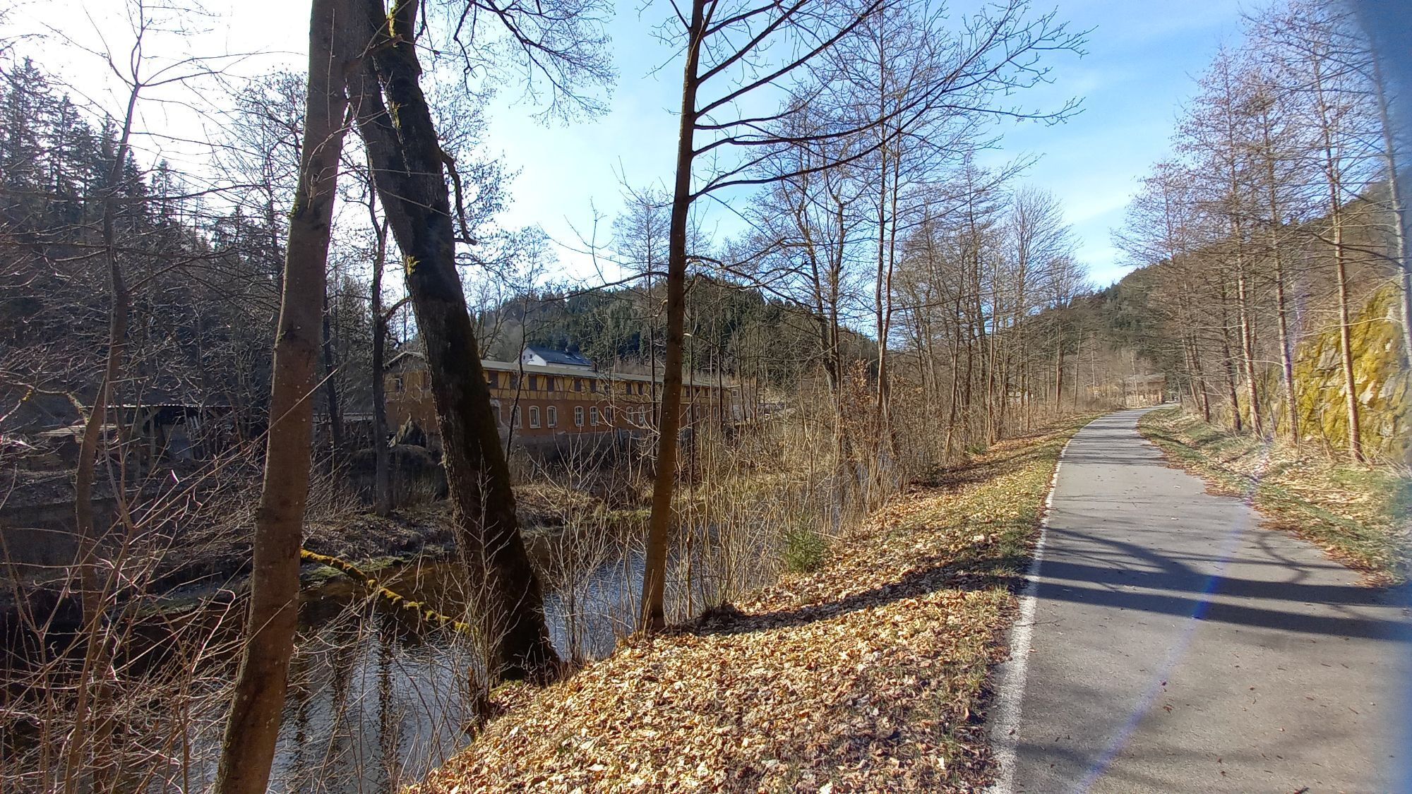
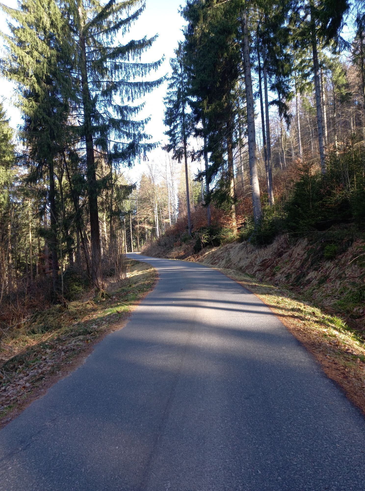


With a total length of around 160 km (including its four secondary routes), the Karlsroute offers royal cycling pleasure in the Saxon-Bohemian Ore Mountains. The level of difficulty of the routes ranges...
With a total length of around 160 km (including its four secondary routes), the Karlsroute offers royal cycling pleasure in the Saxon-Bohemian Ore Mountains. The level of difficulty of the routes ranges from easy to difficult, so that everyone gets their money's worth. The routes are not paved throughout and are therefore particularly suitable for mountain bikes and trekking bikes. Thanks to the existing Aue-Johanngeorgenstadt-Karlovy Vary rail link, you can also easily combine your tour with the train
The individual routes run partly on public, but rather moderately frequented roads and are marked with the respective route logo. Pay attention to the different signposting on the German and Czech sides!


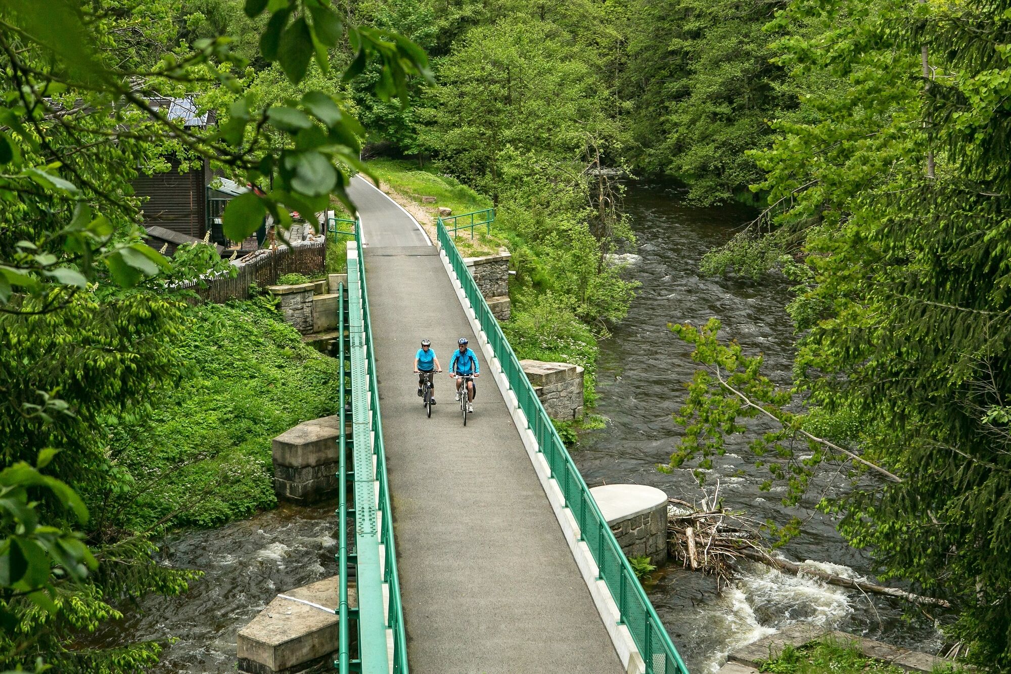

Start at Aue railroad station and follow the Mulde upstream on a former railroad line that has been converted into a cycle path. From Blauenthal, the route takes you past Saxony's highest waterfall through the valley of the Große Bockau to the hammer mill village of Wildenthal. Passing evidence of historical postal history, you reach Oberwildenthal and up to the Hirschenstander Pass (939 m above sea level). From here, you cycle downhill on the Bohemian side via Jelení into the Rolava valley to Nové Hamry and on to Nejdek. The idyllic little town invites you to linger before continuing via Nová Role to the beautiful spa town of Karlovy Vary. There, the "Karlovy Vary Route" ends right at the beginning of the pedestrian zone near the lower railroad station.
With the Aue-Johanngeorgenstadt-Karlovy Vary rail link, you can also combine your tour with a train ride
Railroad station Karlovy Vary 31,Nákladní 83, 360 10 Karlovy Vary
Johanngeorgenstadt train station, Pachthausstraße, 08349 Johanngeorgenstadt
Aue railroad station, Am Bahnhof 1, 08280 Aue-Bad Schlema
Chemnitz main station, Bahnhofstraße, 09111 Chemnitz
www.erzgebirgsbahn.de / www.cd.cz
https:// 2025.vms.de/kulturhauptstadtticket/
Parking lot on Rudolf-Breitscheid-Straße (Aue) opposite Nikolai-Passage (subject to charge), station forecourt Aue (subject to charge)
3
Tourist Service Center Eibenstock, Dr.-Leidholdt-Straße 2, 08309 Eibenstock, Tel.: 037752/2244, touristinformation@eibenstock.de, www.eibenstock.de, www.karlsroute.eu
The RADschlag
- Tunnel near Bockau
- Blauenthal waterfall
- Historic post milestone near Wildenthal
- Neudek Rocks with castle tower
- Spa architecture, colonnades, thermal springs, funicular Karlovy Vary
TO TABLE
...there are several along the way, including
- Gasthof Rechenhaus (at the Bockau junction)
- Pension Hammerschänke (Wildenthal)
- Schmugglerstub' restaurant (Wildenthal)
- Pension Jelení (Jelení)
- Hotel Malamut, Hotel Seifert (Nové Hamry)
- Hotel Anna (Nejdek)
TIP
From Aue to Blauenthal completely asphalted and with a slight incline
Kamery internetowe z trasy
-
SkiArena Eibenstock Berg
-
SkiArena Eibenstock
-
Kammloipe - Schutzhütte Teichhäusel
-
Milda - Mittelstation
-
Johanngeorgenstadt Loipenhaus
-
Skiarena Eibenstock Bergstation
-
Bad Schlema Kurhaus
-
Pernink
-
Eibenstock
-
Eibenstock
-
Hotel Thermal
-
Hotel Thermal
-
Hotel Thermal
-
Hotel Thermal
-
Hotel Thermal
-
Hotel Thermal
-
Hotel Thermal
Uzyskaj wgląd
Zawsze na żywo z ponad 9 500 kamer internetowych. bergfex Jako użytkownik Pro, możesz teraz zobaczyć odpowiednie kamery internetowe dla wielu wycieczek w aplikacji wycieczki od. Pozwala to na bezpośredni podgląd aktualnych warunków.
Popularne wycieczki w okolicy
-
Rundwanderung Talsperre Sosa
światłoWędrówka 7,95 km -
4,0
Panorama trail Schwarzenberg
średniWędrówka 13,8 km -
5,0
At the Eibenstock dam / Hundshübler circular hiking trail
światłoWędrówka 4,61 km -
4,7
Schlettau circular hiking trail "On the steps of Ottomar Zahm"
średniWędrówka 11,0 km -
In the footsteps of the Hundsmarterweibl
średniWędrówka 10,8 km -
Segwayfahrt bei Eibenstock
światłoMountainbike 15,2 km -
2,0
Sosa Talsperre - Blauenthaler Wasserfall
ciężkiWędrówka 9,03 km -
Stoneman Miriquidi 162 kilometers of pure mountain bike emotion
ciężkiMountainbike 168,0 km -
4,0
Burg Stein- Alexanderstein -Prinzenhöhle - Burg Stein ,Hartenstein, Deutschland Hartenstein, Deutschland
światłoWędrówka 9,51 km -
4,7
Burg Stein-Prinzenhöhle Hartenstein-Romantik Hotel Waldidyll
światłoWędrówka 7,56 km
Wędrówki i tropienie


Nie przegap ofert i inspiracji na następne wakacje
Twój adres e-mail została dodana do listy mailingowej.





