






From Freiberg to Tharandt and back again

This challenging tour takes you from Freiberg via Hilbersdorf to Colmnitz, where the first foothills of the Tharandt Forest begin. Not only is it the largest forest area in Saxony, it is also the geographical...
This challenging tour takes you from Freiberg via Hilbersdorf to Colmnitz, where the first foothills of the Tharandt Forest begin. Not only is it the largest forest area in Saxony, it is also the geographical center of the state.

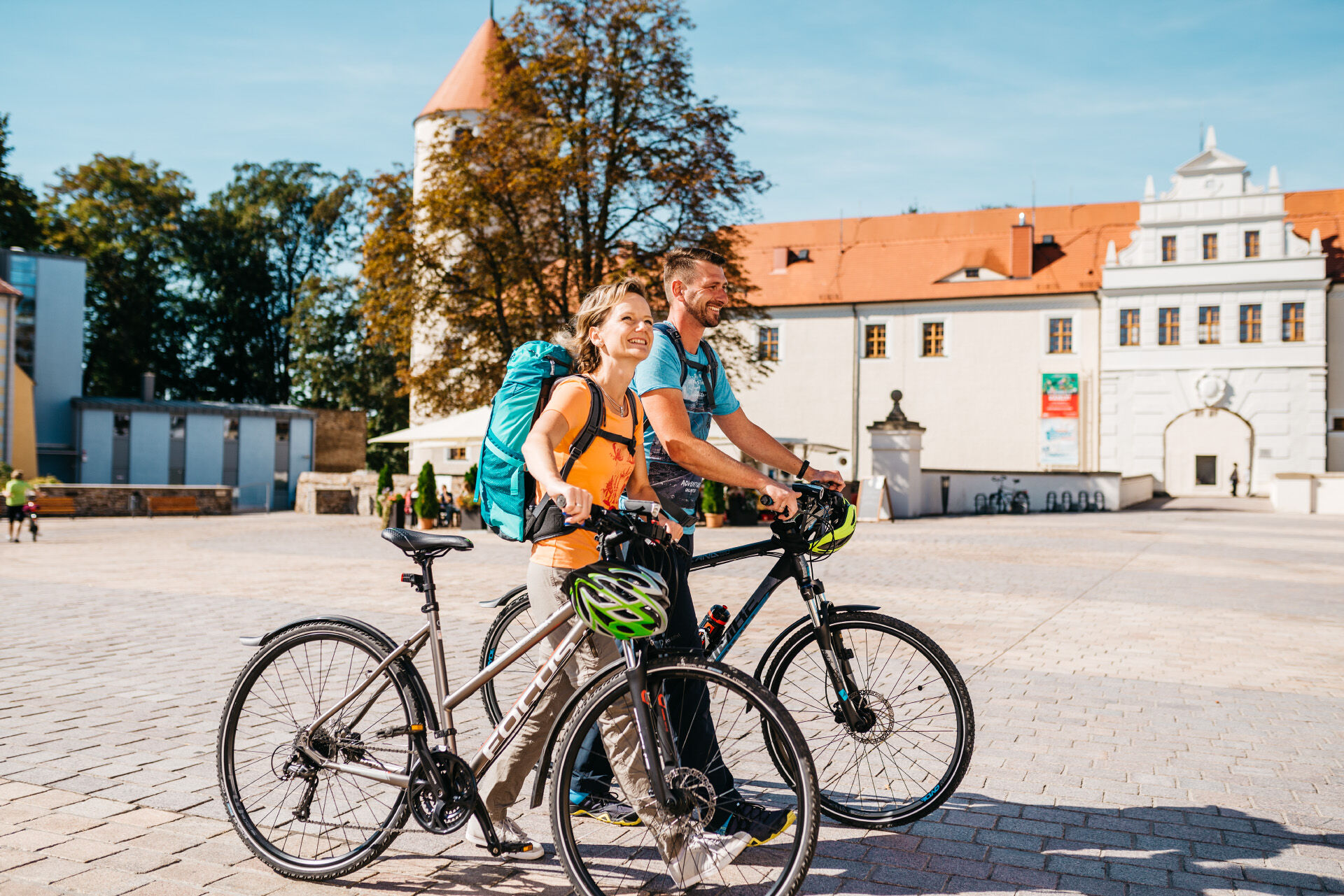
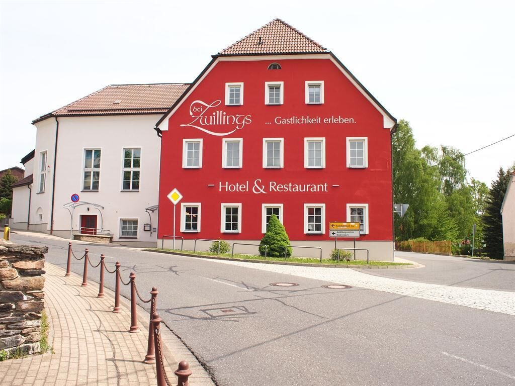
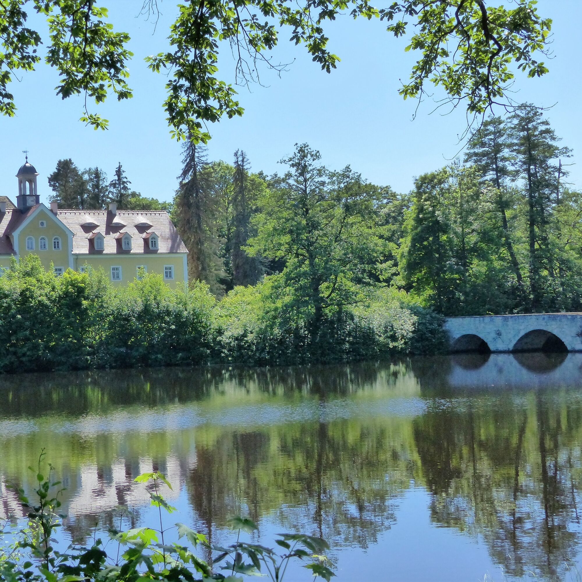

You leave the silver town in the direction of Hilbersdorf and follow the S 190 over the Bobritzsch to Colmnitz. Here you come into contact with the foothills of the Tharandt Forest. Not only is it the largest forest area in Saxony, it is also the geographical center of the Free State. Via Klingenberg and Höckendorf, the route runs parallel to the Dresden - Chemnitz railroad line past the Noble Crown to Tharandt. The town, first mentioned in documents in the 13th century, is considered one of the cradles of forestry science. The TU Dresden still maintains a faculty for this branch of science here today. Goethe and Schiller also spent some time in Tharandt. Now cycle south along the Weißeritz for a while and turn into the Tharandt forest directly at the junction to Breiter Grundweg. Via Breiten Grund, Kreuzvier and along the Warnsdorfer Bach stream, you reach Grillenburg Castle, situated in a clearing in the middle of the forest. The hunting lodge with its extensive castle pond invites the curious to explore. Leave Grillenburg to the west on Freiberger Straße and follow it. After about 4 km you will reach Naundorf and, heading south via Bobritzsch-Hilbersdorf, the S 190 again.
Popularne wycieczki w okolicy
-
5,0
Winter experience Rabenauer Grund and Rabenauer Höhe
średniWędrówka zimą 7,79 km -
4,0
Rabenauer Grund family tour and adventure trail
światłoWędrówka 4,92 km -
Legend trail and adventure trail "Legendary Mühlberg"
światłoWędrówka 4,84 km -
5,0
Circular hike Malter and Dippoldiswalder Heide
światłoWędrówka 6,77 km -
4,5
Grabentour from Krummenhennersdorf to Reinsberg
światłoWędrówka 7,76 km -
Panorama trail Talsperre Malter
Wędrówka 5,08 km -
5,0
Cycle around the silver city of Freiberg
średniJazda na rowerze 28,5 km -
Water, silver, noble crown ... the Ritter Theler Tour!
średniWędrówka 22,6 km -
Shaft hopping for the whole family in Freiberg
średniWędrówka 10,9 km -
Freital, Rabenauer Grund, Semmelsteig und König Albert Höhe
średniWędrówka 7,64 km
Wędrówki i tropienie


Nie przegap ofert i inspiracji na następne wakacje
Twój adres e-mail została dodana do listy mailingowej.





