







Schlettau cycle tour "Three basalt mountains in one go"
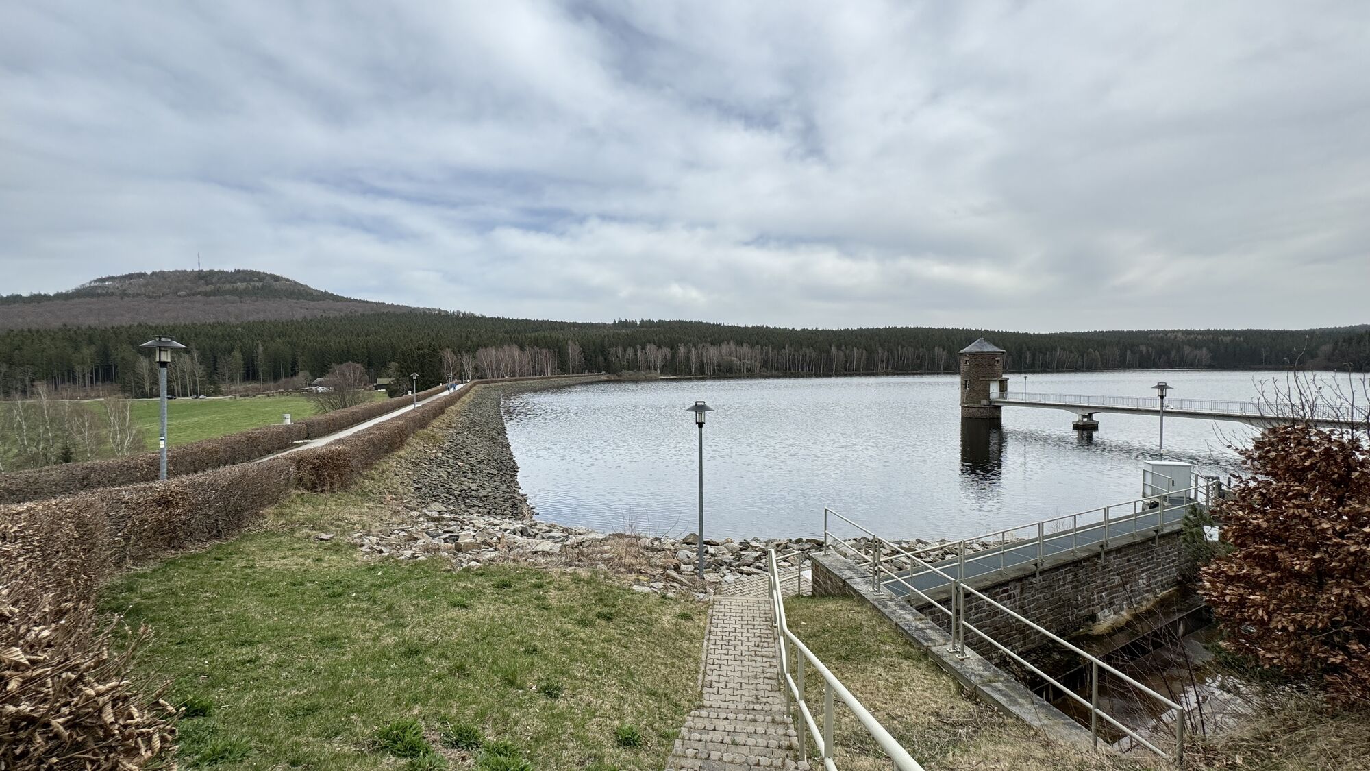
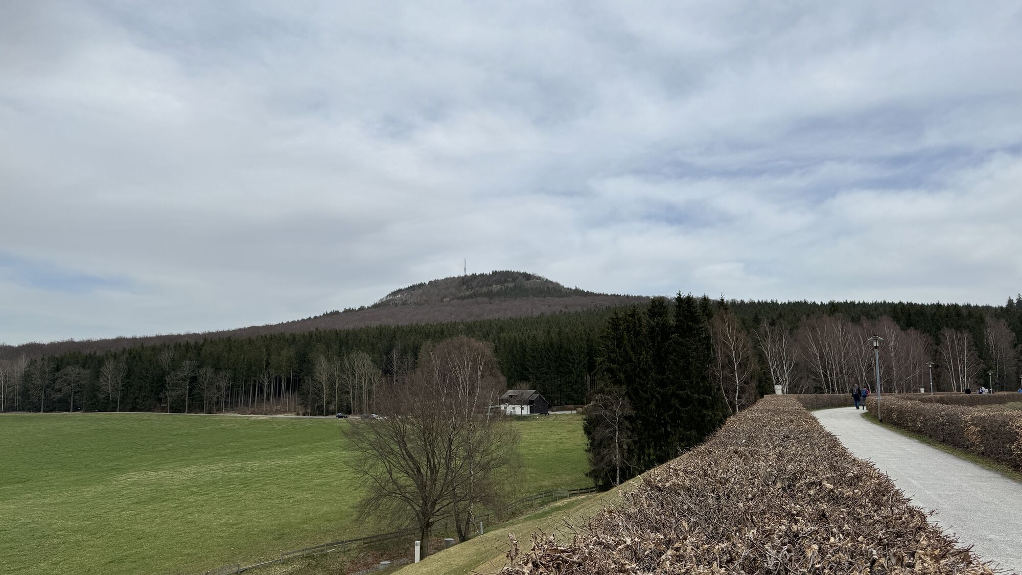
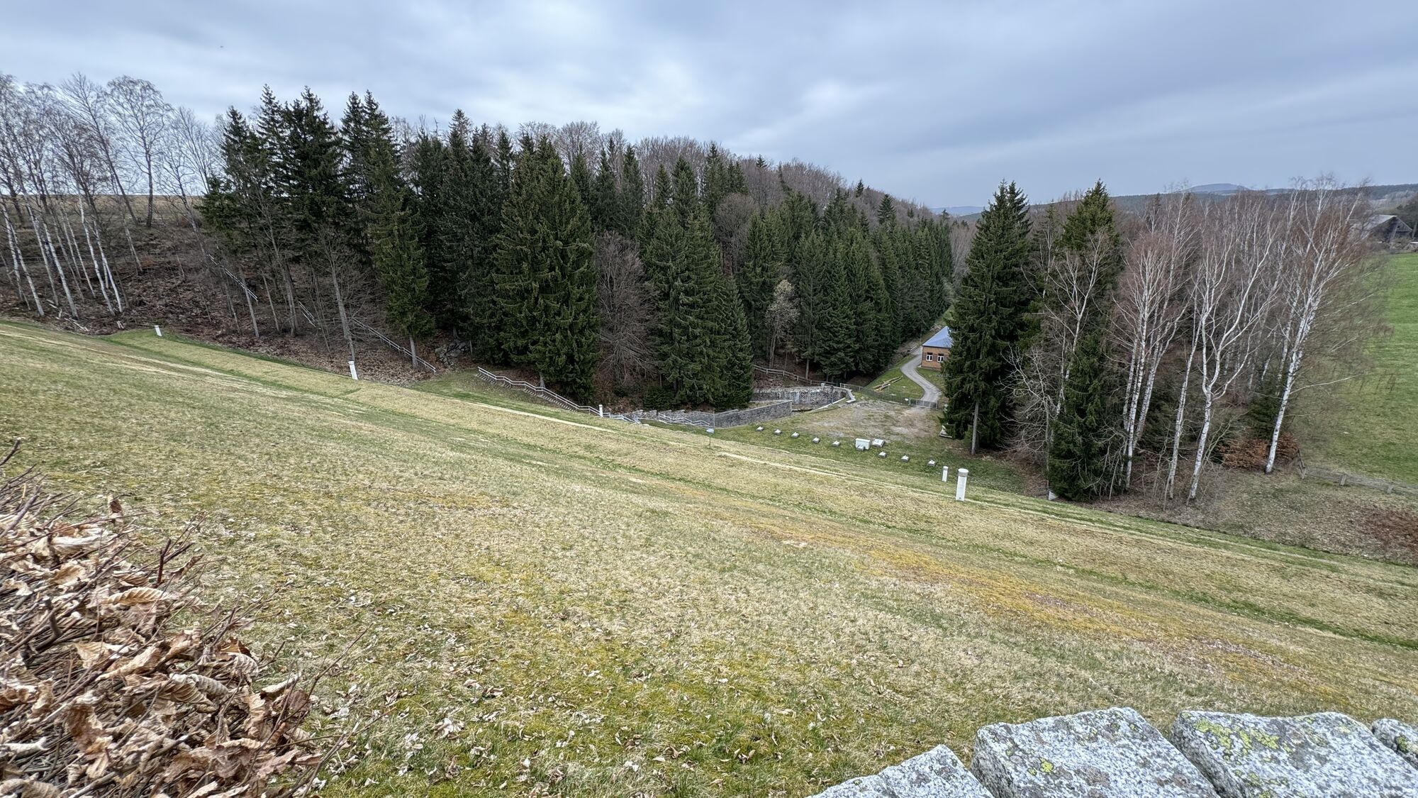
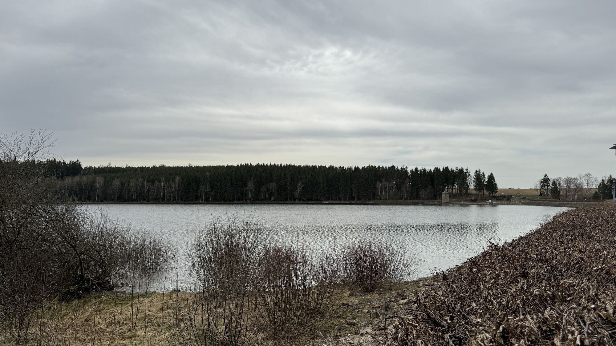
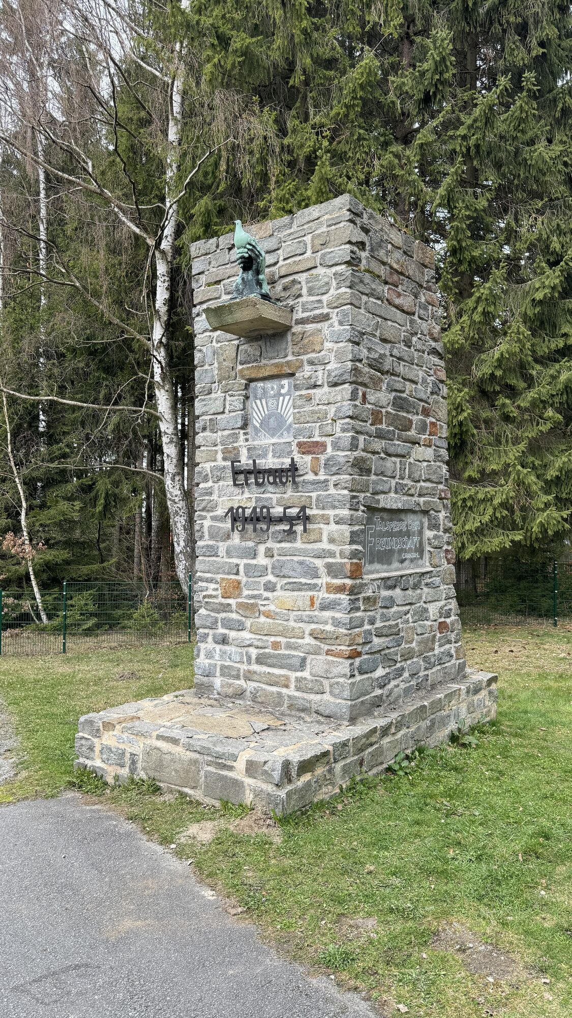
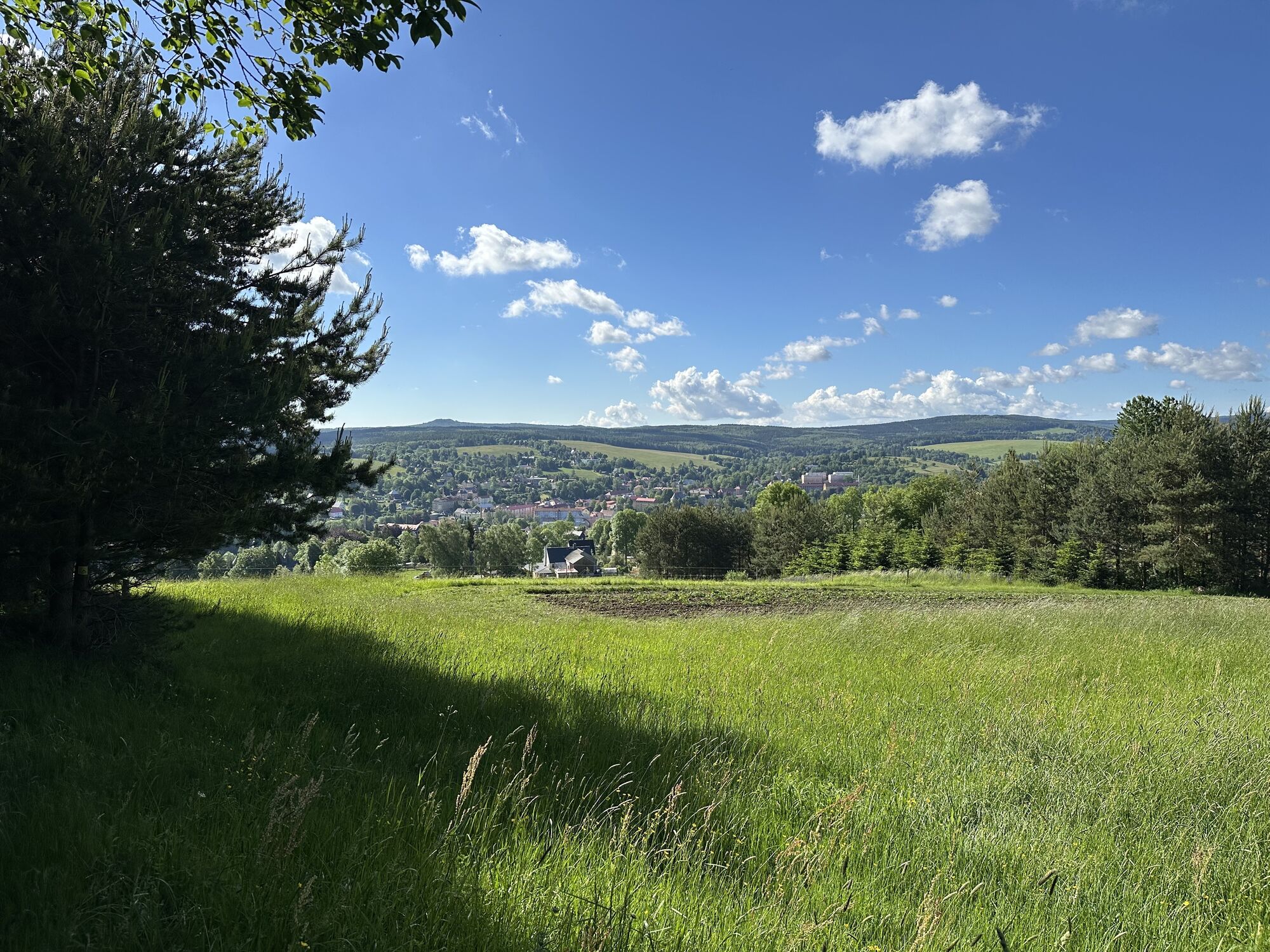
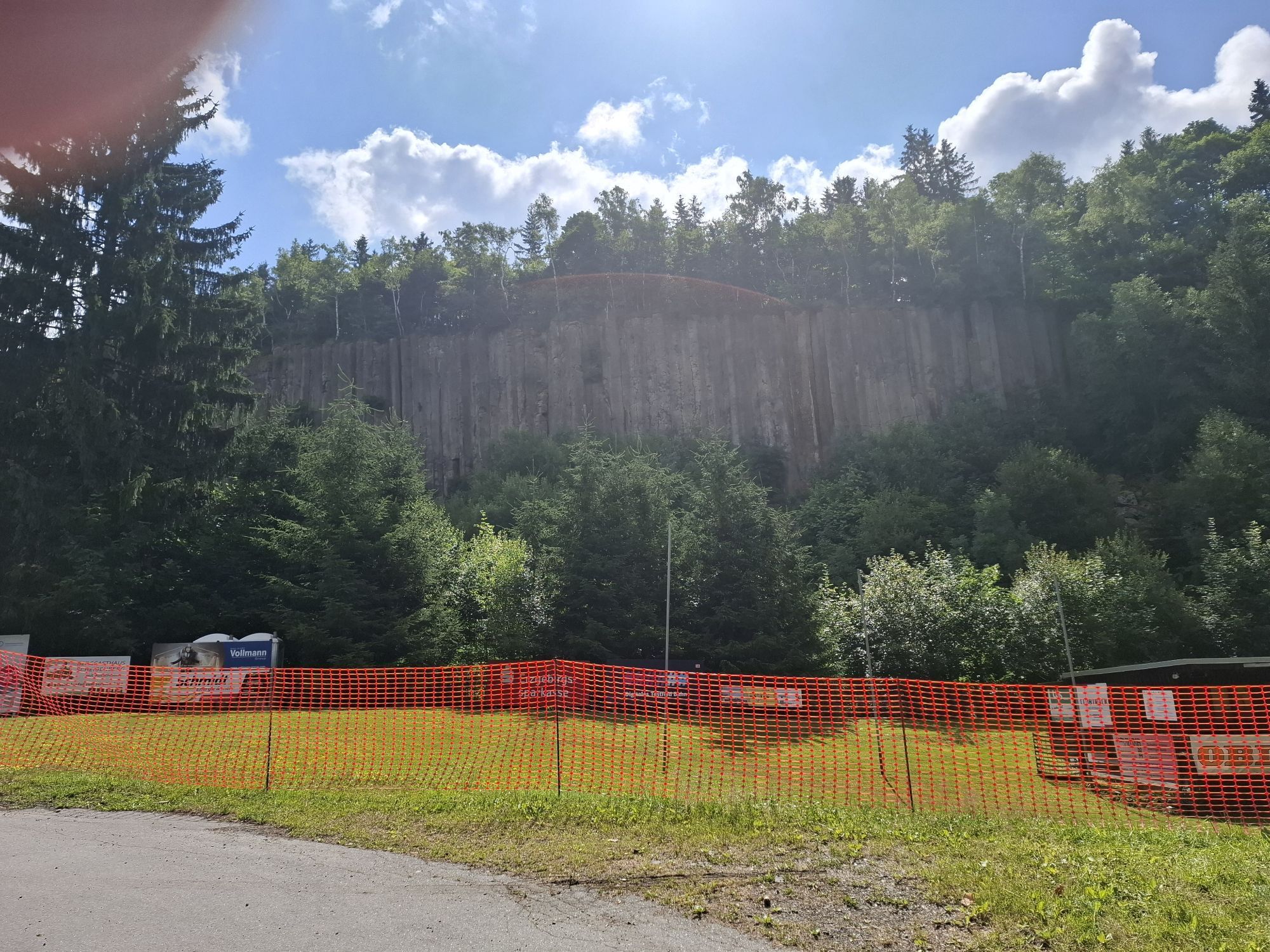
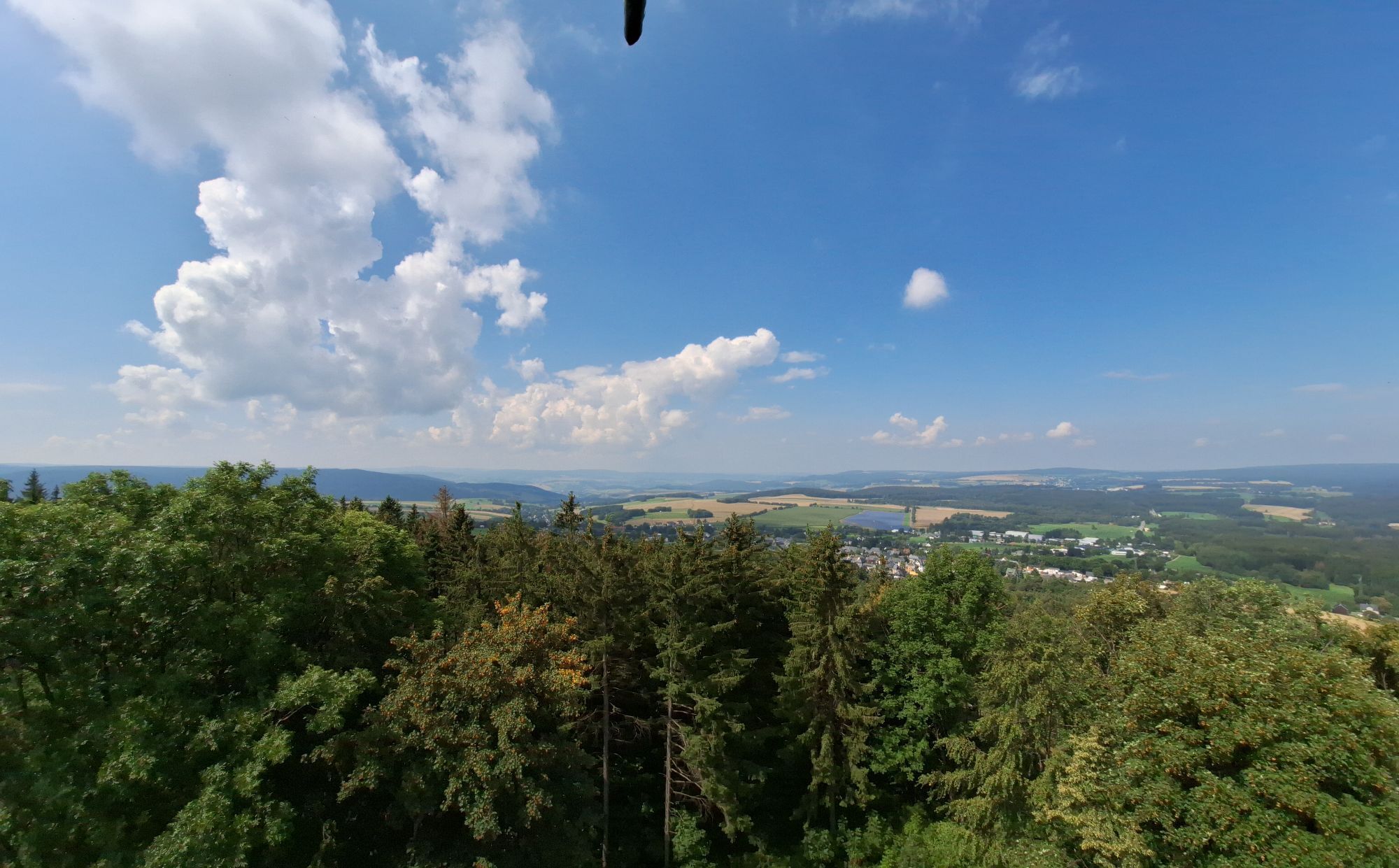
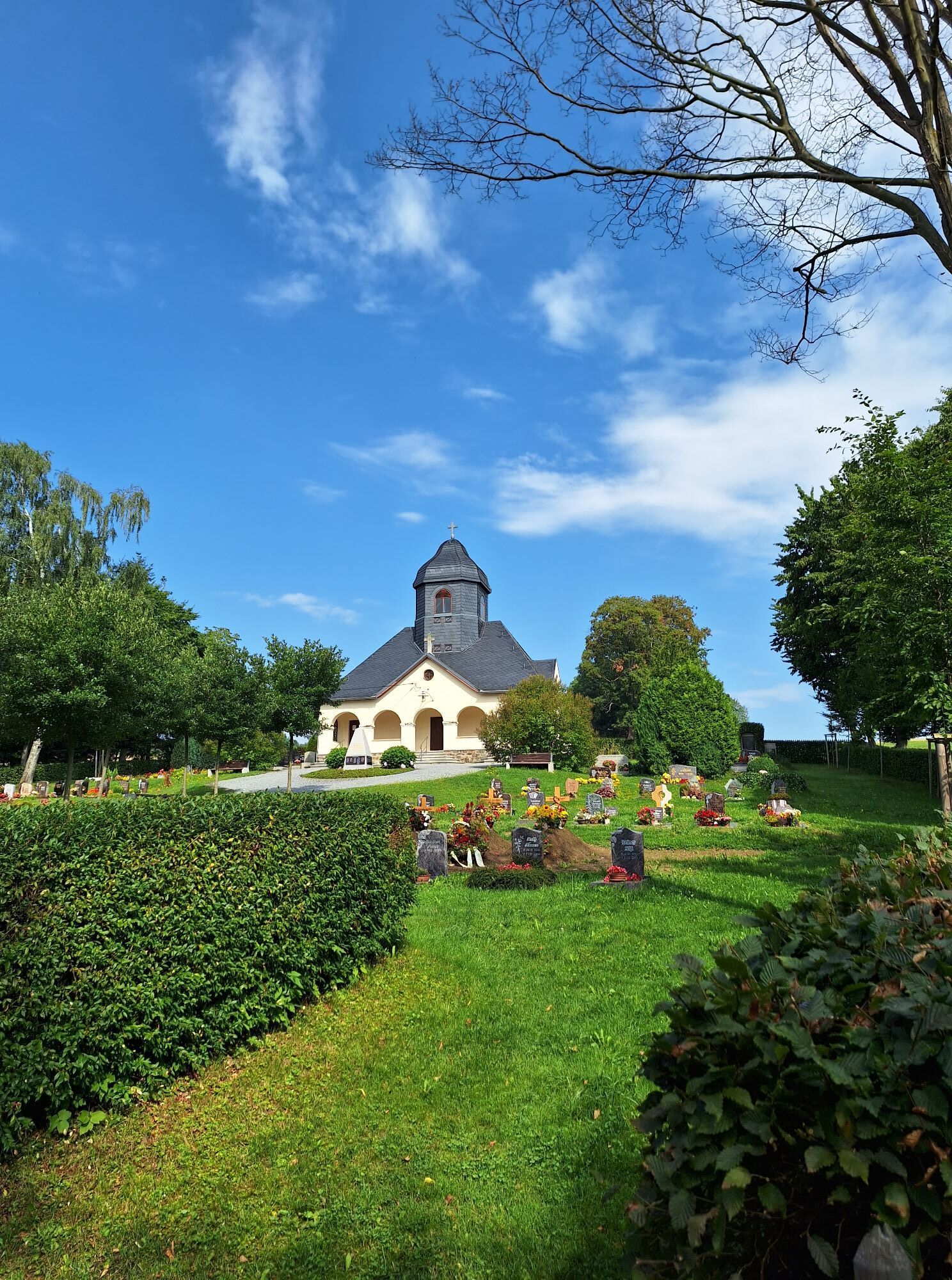
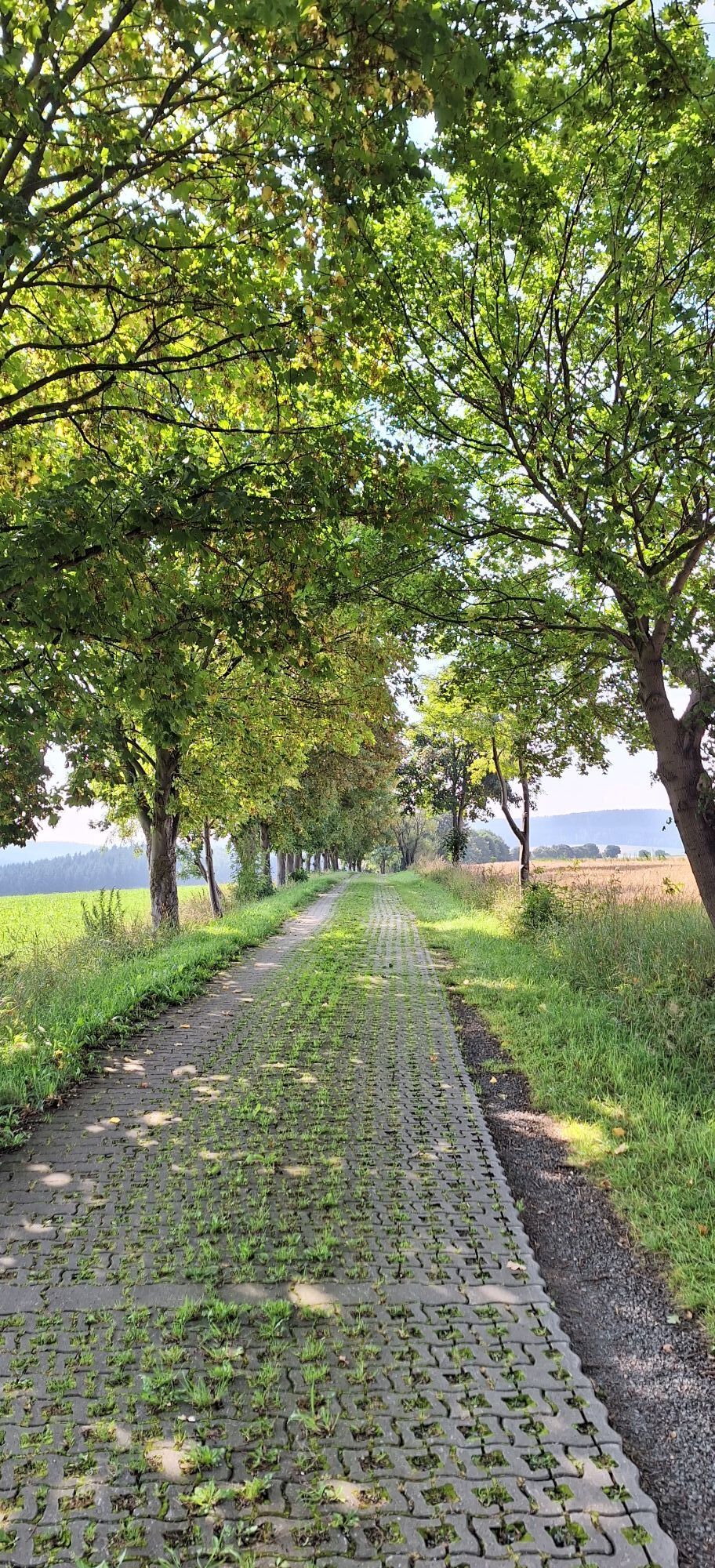
The tour starts from Schlettau via the Firstenweg trail to Cranzahl in the Sehmatal valley. From now on, the trail leads steadily uphill until you reach the summit of the Pöhlberg via the mountain road....
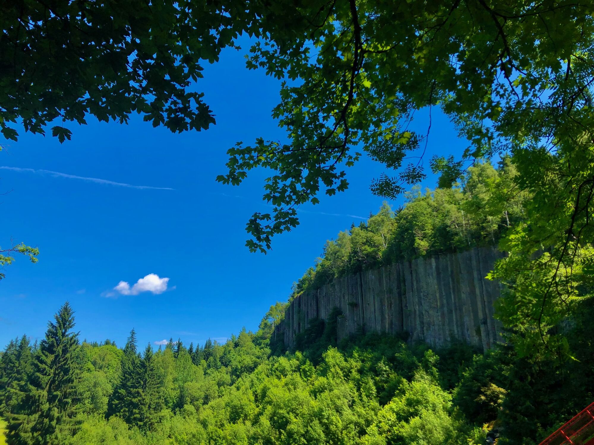
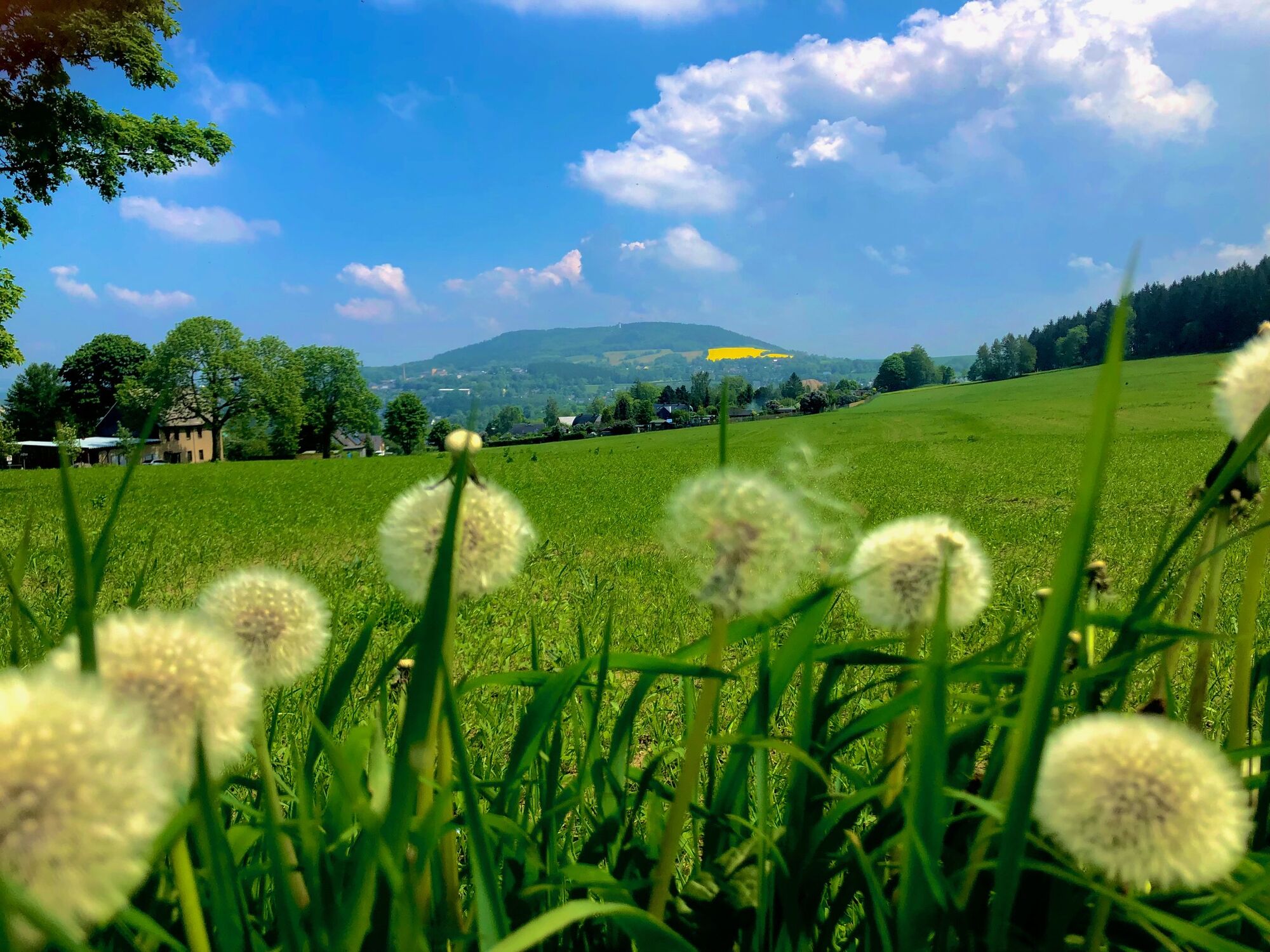
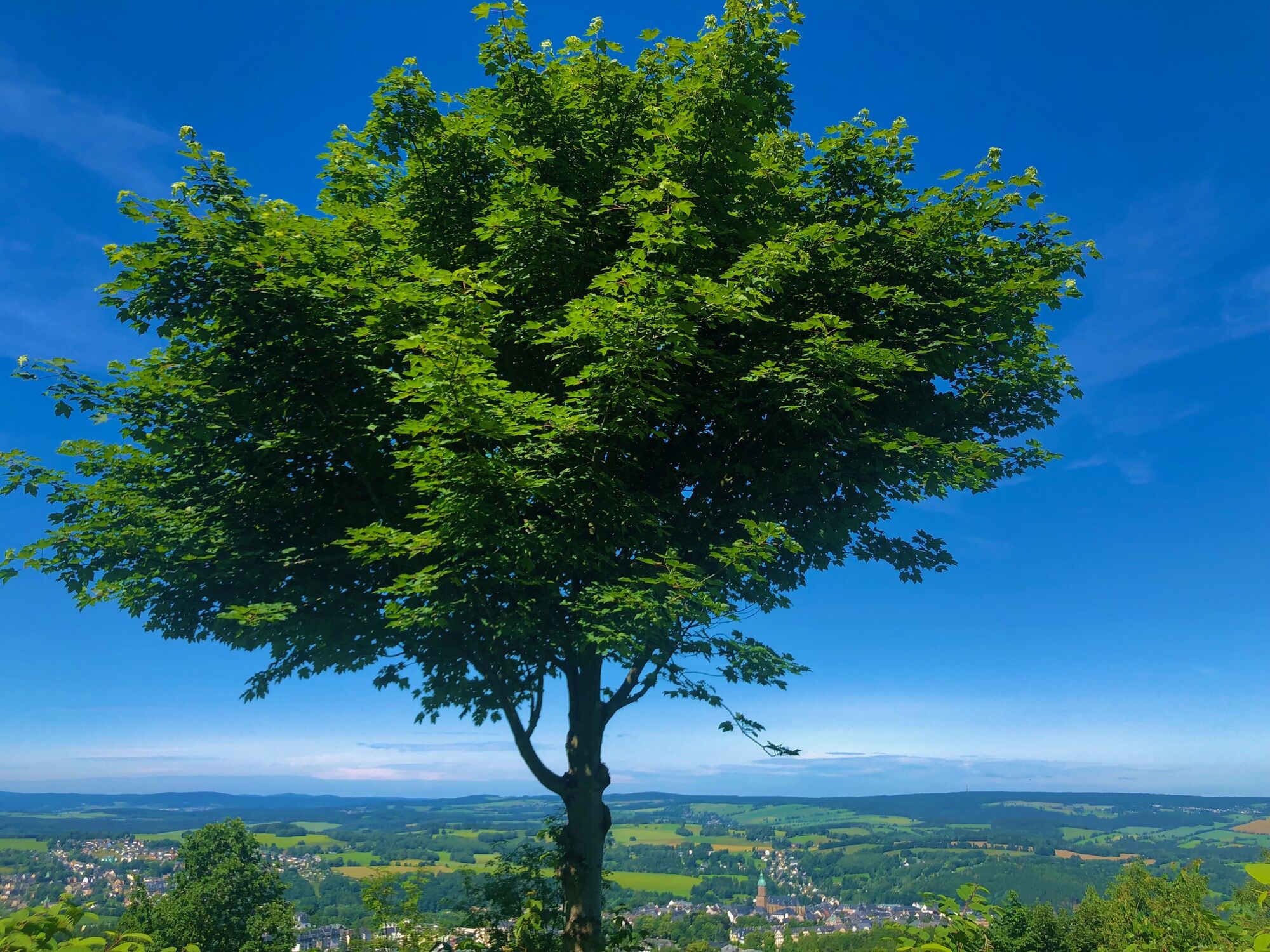
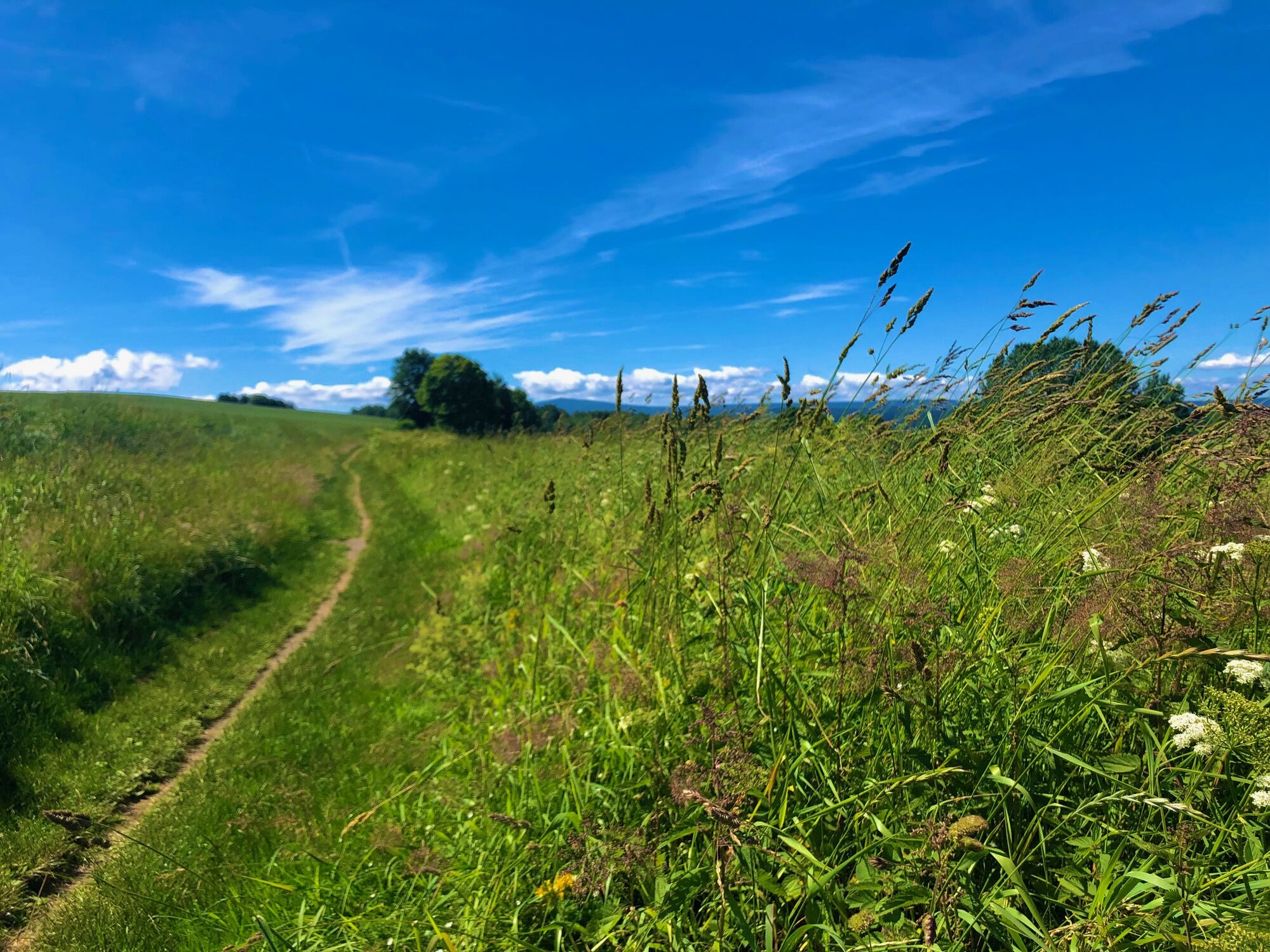
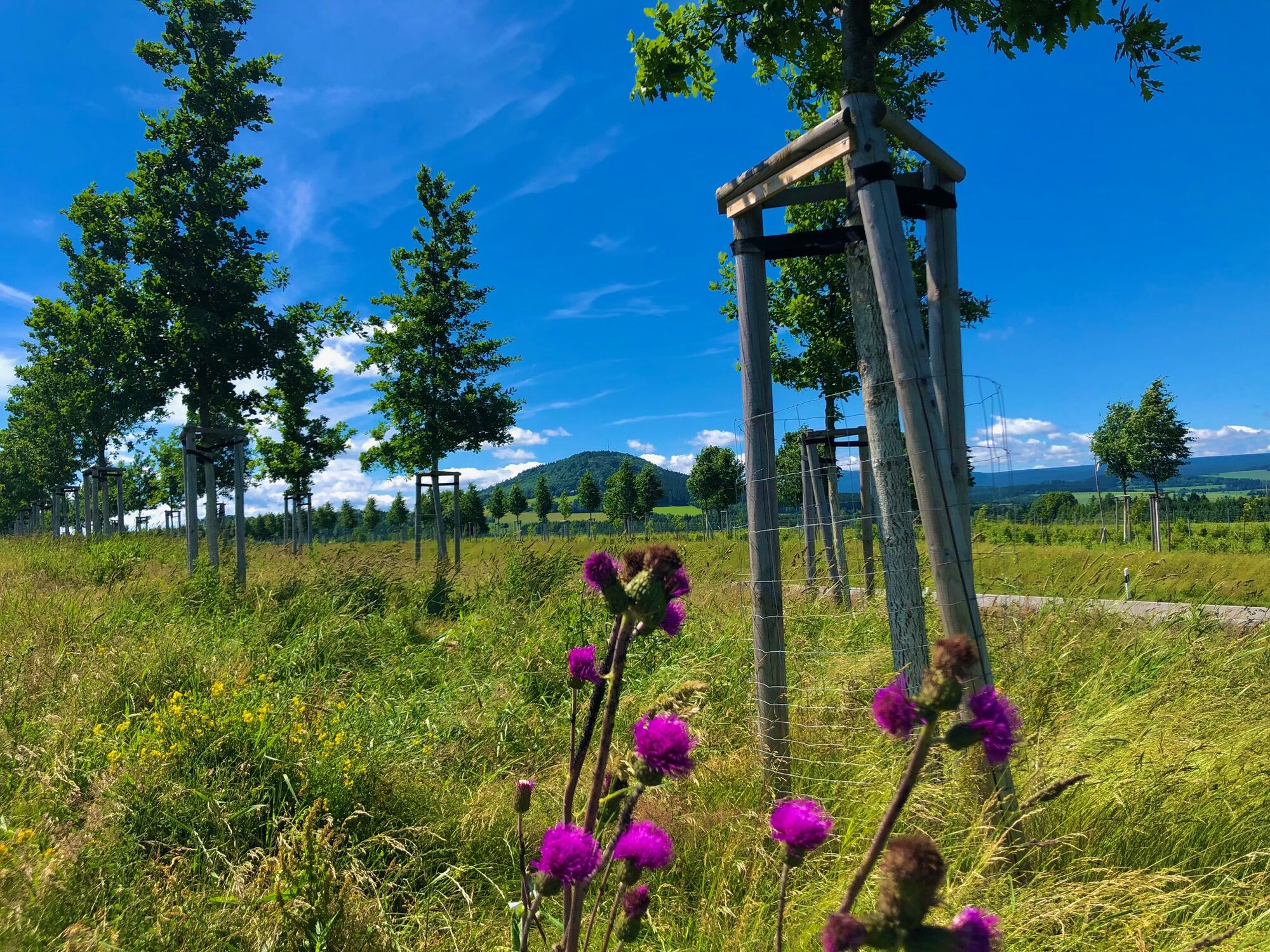
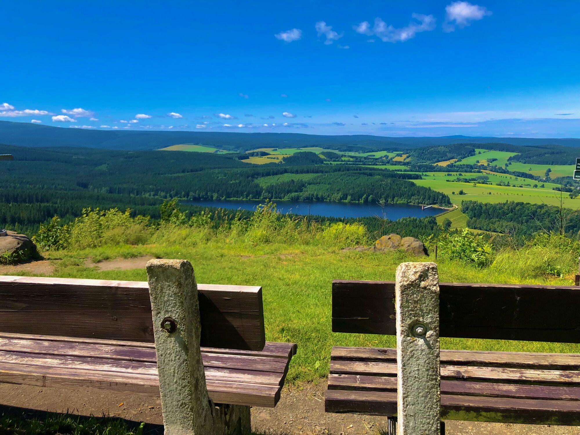
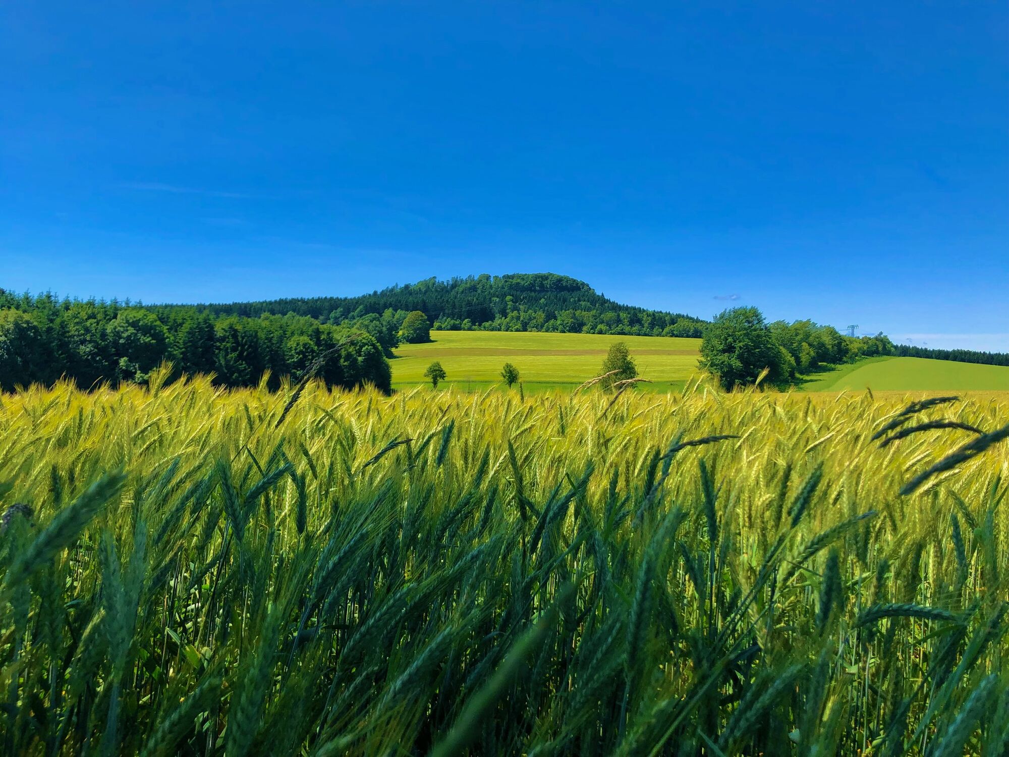
The tour starts from Schlettau via the Firstenweg trail to Cranzahl in the Sehmatal valley. From now on, the trail leads steadily uphill until you reach the summit of the Pöhlberg via the mountain road. Continue on the other side via a wonderful trail down into the Pöhlbach valley, which you follow upstream for a while. At the level of the village of Kühberg, the route climbs up to the second summit, the Bärenstein. You leave this in the direction of the Cranzahl dam, cross the Sehmatal valley again, then the Zschopau valley before tackling the Scheibenberg. Like the others before it, this is reached via the mountain road. From the summit of the Scheibenberg, you then roll back to the starting point in Schlettau.


Tak
Tak
Tak
Mountain biking is compulsory
By car via the B101 coming from Aue/Schwarzenberg. You can reach Schlettau by highway via the A72, exit Stollberg-West, follow the S258 to Scheibenberg and take the second exit at the traffic circle in the direction of Schlettau.
The bus stop "Schlettau - Mark" is just a few meters from the start and finish point of the circular walk.
In Schlettau there are various hiking car parks available.
The tour is designed so that the summits can be skipped depending on your fitness level. From the Bärenstein there is an alternative descent for experienced riders from the "Goldkämmerchen" viewpoint to the right onto the steep descent.
Kamery internetowe z trasy
Uzyskaj wgląd
Zawsze na żywo z ponad 9 500 kamer internetowych. bergfex Jako użytkownik Pro, możesz teraz zobaczyć odpowiednie kamery internetowe dla wielu wycieczek w aplikacji wycieczki od. Pozwala to na bezpośredni podgląd aktualnych warunków.
Popularne wycieczki w okolicy
-
3,3
Oberwiesenthal,Keilberg,Bozi Dar,Fichtelberg, Oberwiesental
średniWędrówka 15,2 km -
Hotel Jens Weissflog - Kreuzbrückenfelsen - Fichtelberg - Hotel Jens Weissflog ,Oberwiesenthal, Deutschland Oberwiesenthal, Deutschland
światłoWędrówka 9,71 km -
4,7
Schlettau circular hiking trail "On the steps of Ottomar Zahm"
średniWędrówka 11,0 km -
4,5
Zechengrund und Fichtelberg - Rundwanderung mit Ausblick
średniWędrówka 13,9 km -
4,0
Oberwiesenthal, Kreuzbrückenfelsen, Eisenberg, Oberwiesenthal
światłoWędrówka 7,15 km -
In the footsteps of the Hundsmarterweibl
średniWędrówka 10,8 km -
4,0
Runde über den Fichtelberg
światłoWędrówka 10,2 km -
Fichtelberg-Keilberg Oberwiesenthal, Deutschland
średniWędrówka 25,6 km -
4,5
TK 9 - Wiesaer Höhenweg
średniWędrówka 9,46 km -
Hike into soup country
średniWędrówka 8,13 km

Wędrówki i tropienie


Nie przegap ofert i inspiracji na następne wakacje
Twój adres e-mail została dodana do listy mailingowej.





