







Circular trail at the Wirler Spitze – hiking at the Green Belt

Poziom trudności: T1
At the Wirler Spitze, the border between Saxony-Anhalt and Lower Saxony sharply bends westward coming from the north – a genuine border point. As along the entire former inner-German border, today's Green...
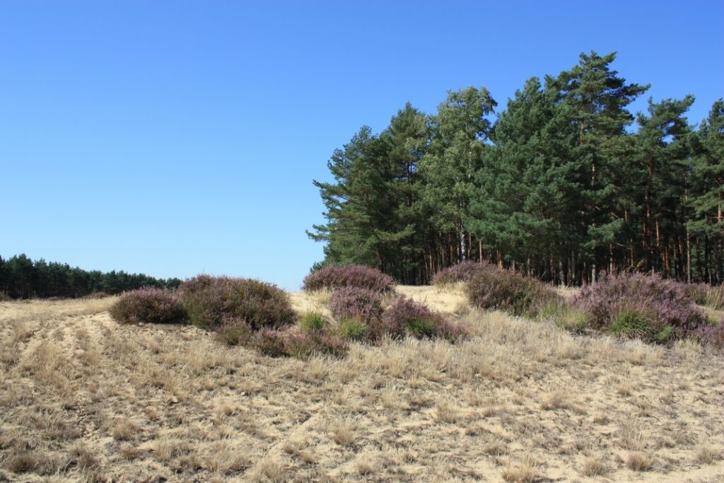
At the Wirler Spitze, the border between Saxony-Anhalt and Lower Saxony sharply bends westward coming from the north – a genuine border point. As along the entire former inner-German border, today's Green Belt, there is a wide strip in the forest that was cleared and kept free by the GDR border troops. Here you can admire a landscape special feature. Between the pine forests stretches a vast inland dune with heather, silver grass, and open sandy areas, now kept open by BUND together with SUNK. From a hiking parking lot north of Ziemendorf, there is access via a forest and slab path to this dune at the Wirler Spitze. A small circular trail opens up this section of the Green Belt and leads from the Wirler Spitze also to relics that remind of the former border situation.


Tak
T1
Popularne wycieczki w okolicy
-
Auenerlebnistour in der Elbe-Aland-Niederung
Jazda na rowerze 27,4 km -
Altmark round route: From Arendsee to the Hanseatic city of Seehausen
średniJazda na rowerze 56,4 km -
Altmark route: From the Hanseatic city of Salzwedel to Arendsee
średniJazda na rowerze 27,2 km -
Borderland route (Altmark, Lower Saxony, Brandenburg)
światłoJazda na rowerze 54,8 km -
Pines, cranes and orioles in the treetops
światłoJazda konna 8,11 km -
About happy chickens and natural forests
światłoJazda konna 7,03 km -
Barrierefrei konzipierter, geführter Spaziergang am Arendsee - mit See- und Stadtgeschichten
światłoWędrówka 1,16 km -
Ziemendorf star rides to the horse washing place via Ziemendorf clearing
światłoJazda konna 5,23 km -
Nemitzer Heide-Weg
światłoWędrówka 14,6 km -
Gorleben Tour
średniJazda na rowerze 79,7 km
Wędrówki i tropienie


Nie przegap ofert i inspiracji na następne wakacje
Twój adres e-mail została dodana do listy mailingowej.





