


Frau Harke Legend Trail hike
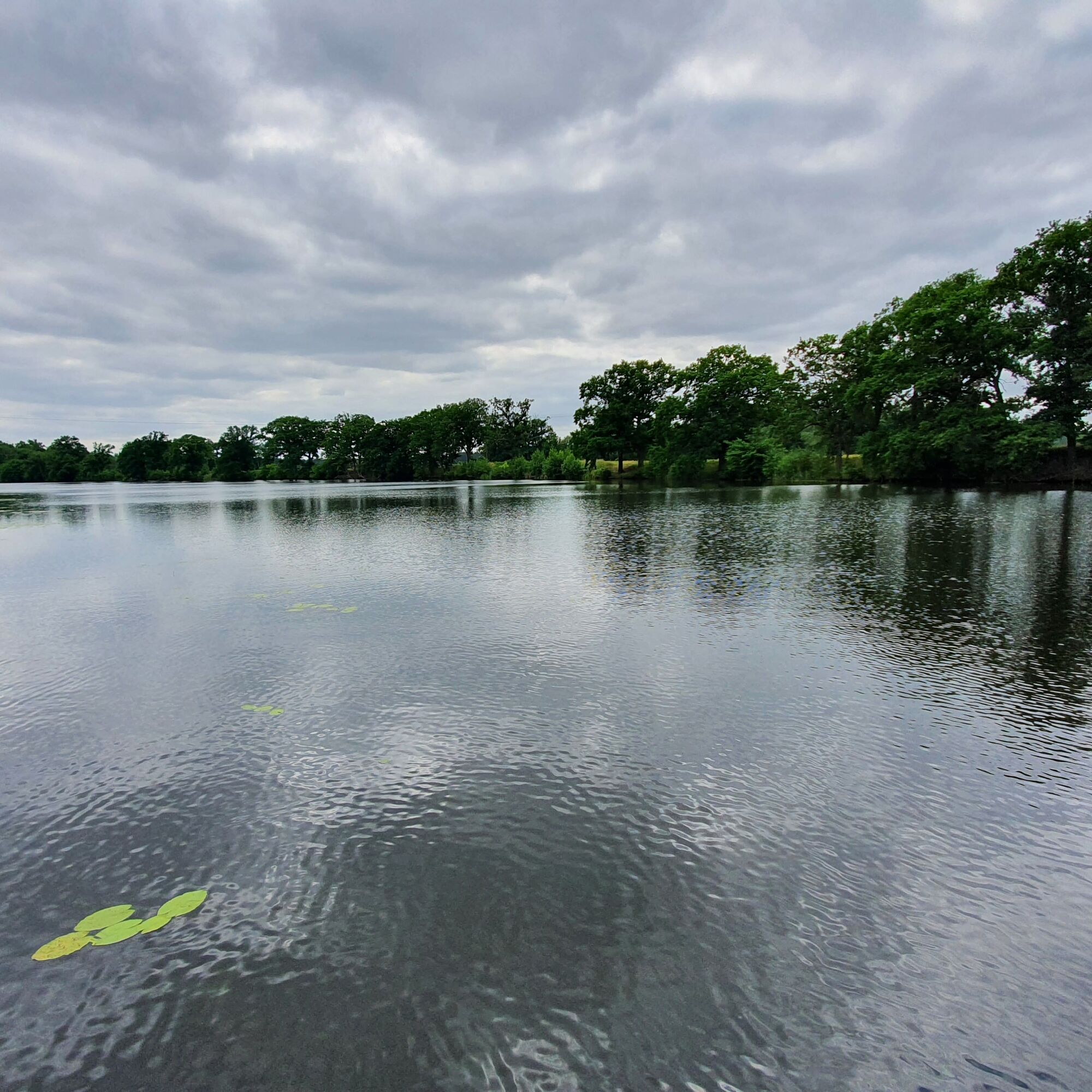
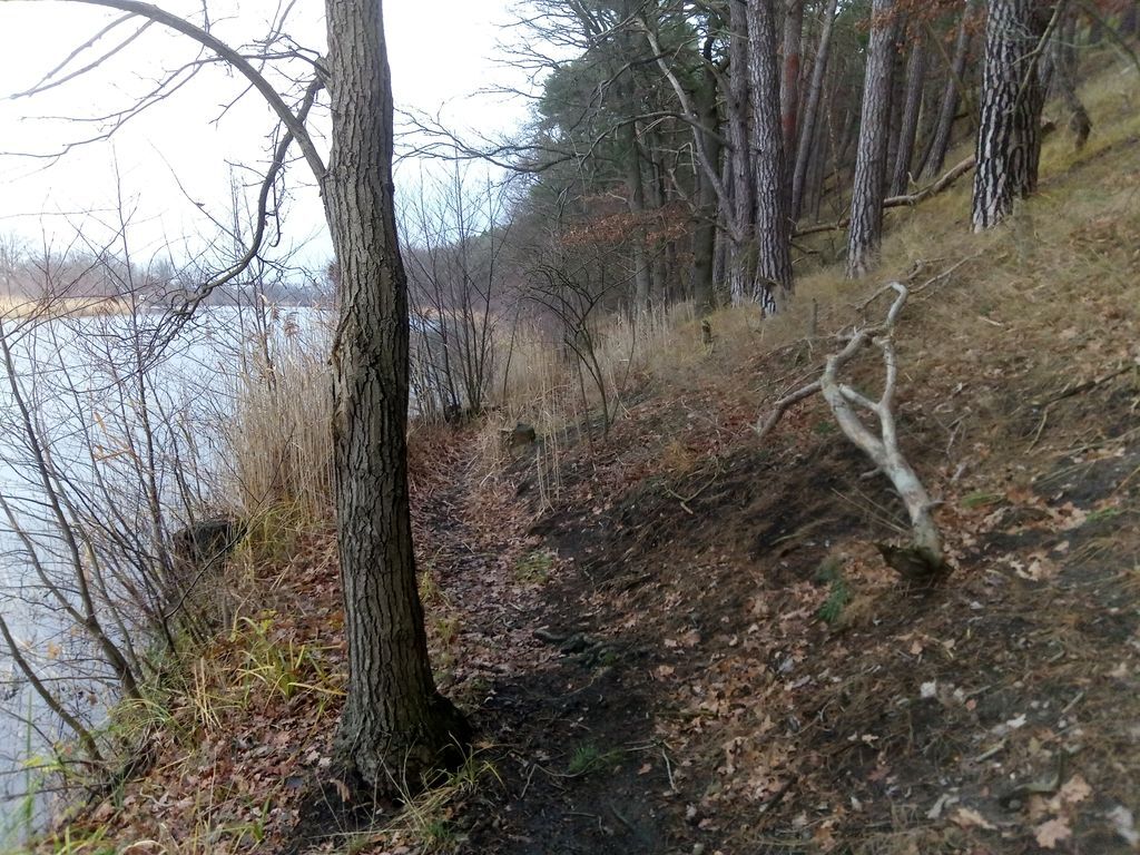
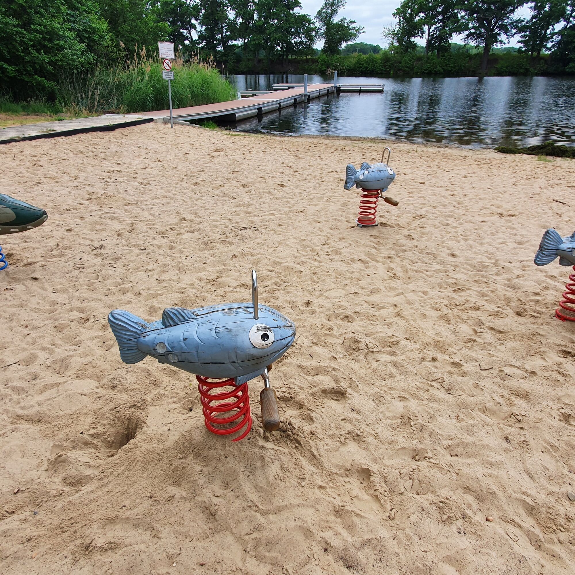
The bathing beach in Kamern (parking lot at the ship inn) is the starting point of this hike following the traces of Frau Harke. The path leads south past the bathing beach and close to the lakeshore....
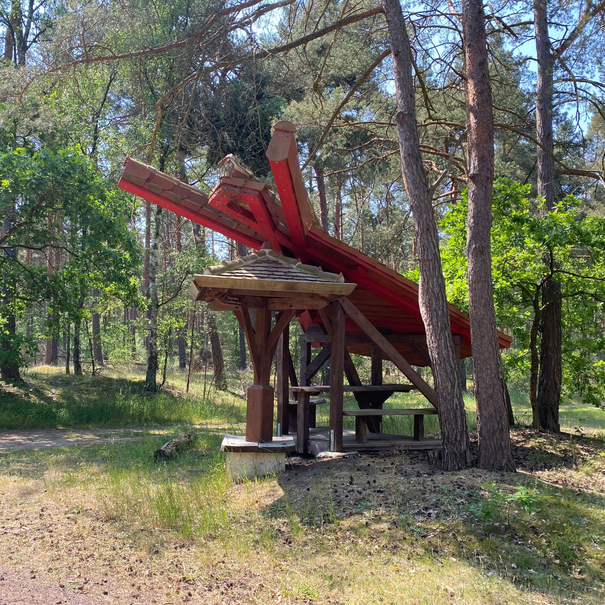
Shortly before the weekend cottages hidden in the forest, a path branches off uphill to a nicely located bench. Through the trees, glimpses of the lake can be caught. On the way to the Kamernschen Berge lies the Flying Frau Harke, an unusually designed rest area. The Frau Harkenberg, at 110 meters, is the highest elevation of the Kamernschen Berge, surrounded by varied pine forest. Through a deeply cut valley down to Hohenkamern and along the forest edge through a flat meadow valley back to the lake.

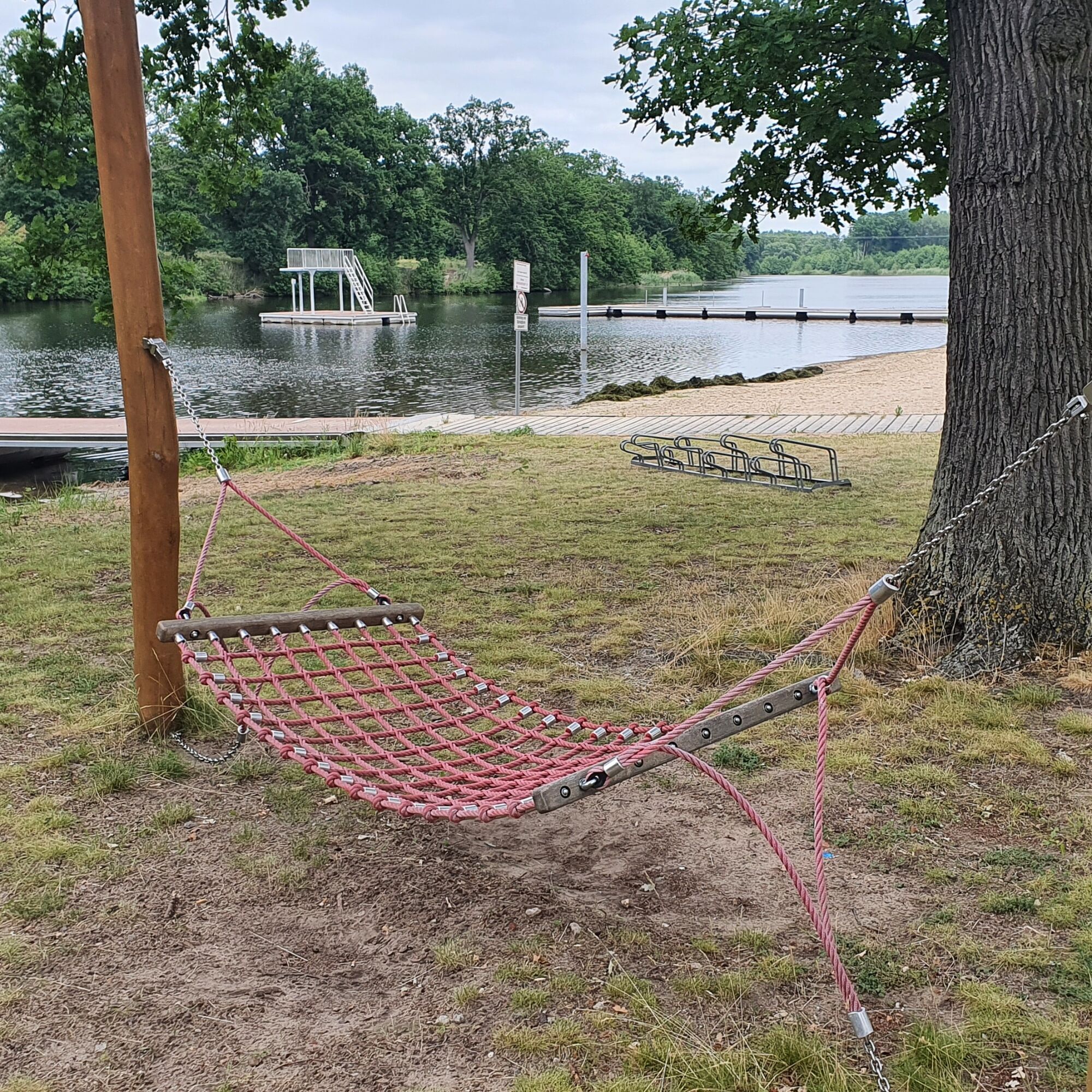
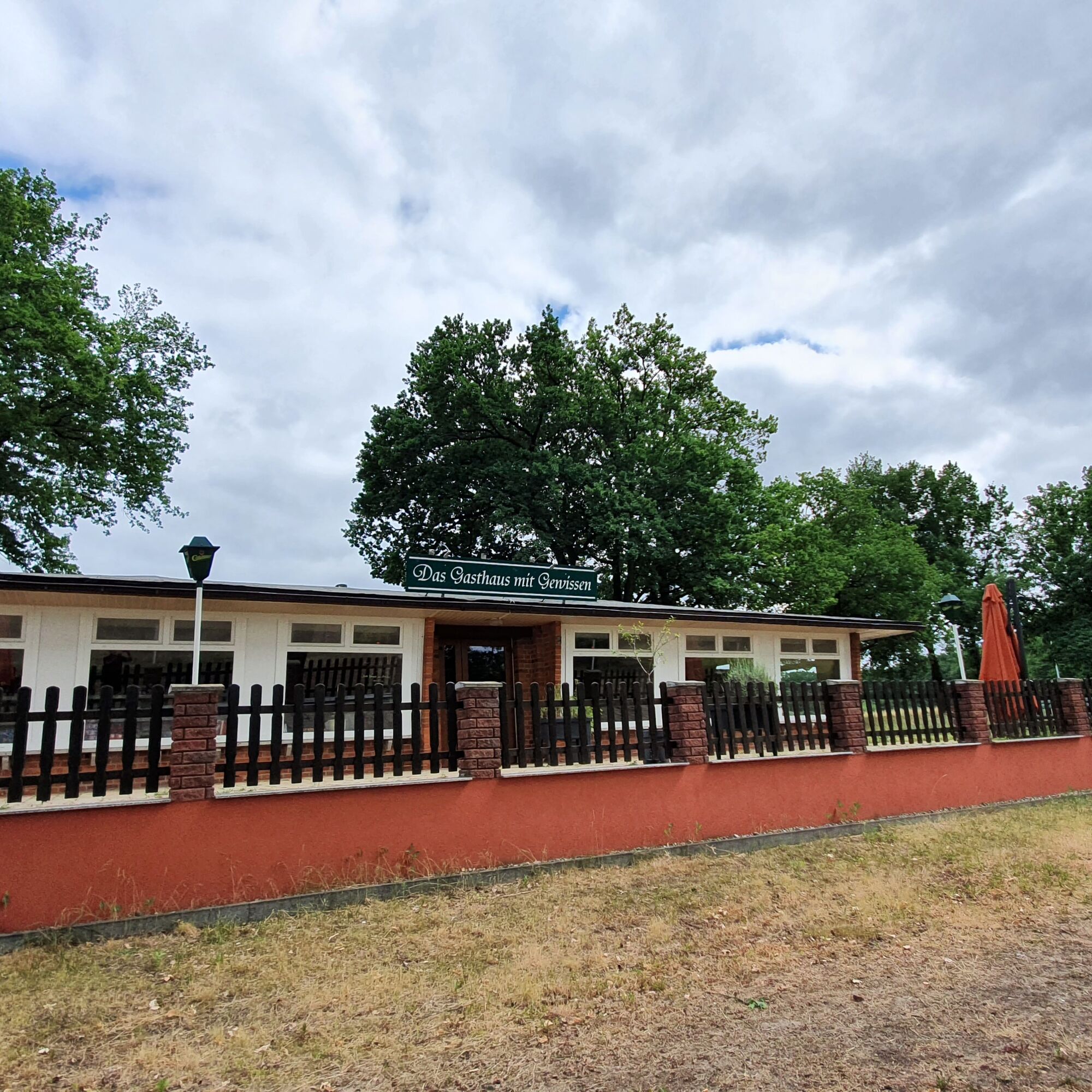
Refreshment options after the hike: ship inn or snack bar Sonne, See und Sterne at the campsite.
Popularne wycieczki w okolicy
-
5,0
Elbe "cruise" in the Altmark, two Hanseatic cities on two wheels
światłoJazda na rowerze 30,6 km -
Elbe Cycle Route, from the Hanseatic city of Havelberg to Jerichow Monastery
średniJazda na rowerze 46,1 km -
Elbe cycle route - Hanseatic cities, Romanesque art and untouched nature of the Altmark
średniJazda na rowerze 73,8 km -
Altmark circuit: From the Hanseatic city of Havelberg to Genthin
średniJazda na rowerze 68,0 km -
Pleinair route - on the trail of art in Arneburg
światłoTrasa tematyczna 2,53 km -
Die Arneburger Linien
Trasa tematyczna 0,84 km -
Elberadweg, von der Hansestadt Havelberg zum Kloster Jerichow
średniJazda na rowerze 50,6 km -
Quappenwinkel route - passing through the Havel lowlands near the Hanseatic city of Havelberg
światłoJazda na rowerze 37,5 km -
Havel-Radweg: Von Rathenow in die Hansestadt Havelberg
średniRower szutrowy 70,3 km -
Natur und Hanse-Route im Norden des Elb-Havel-Winkels
światłoJazda na rowerze 75,0 km

Wędrówki i tropienie


Nie przegap ofert i inspiracji na następne wakacje
Twój adres e-mail została dodana do listy mailingowej.