






Around Kalbe (Milde) - A bike route to Dolchauer Berg

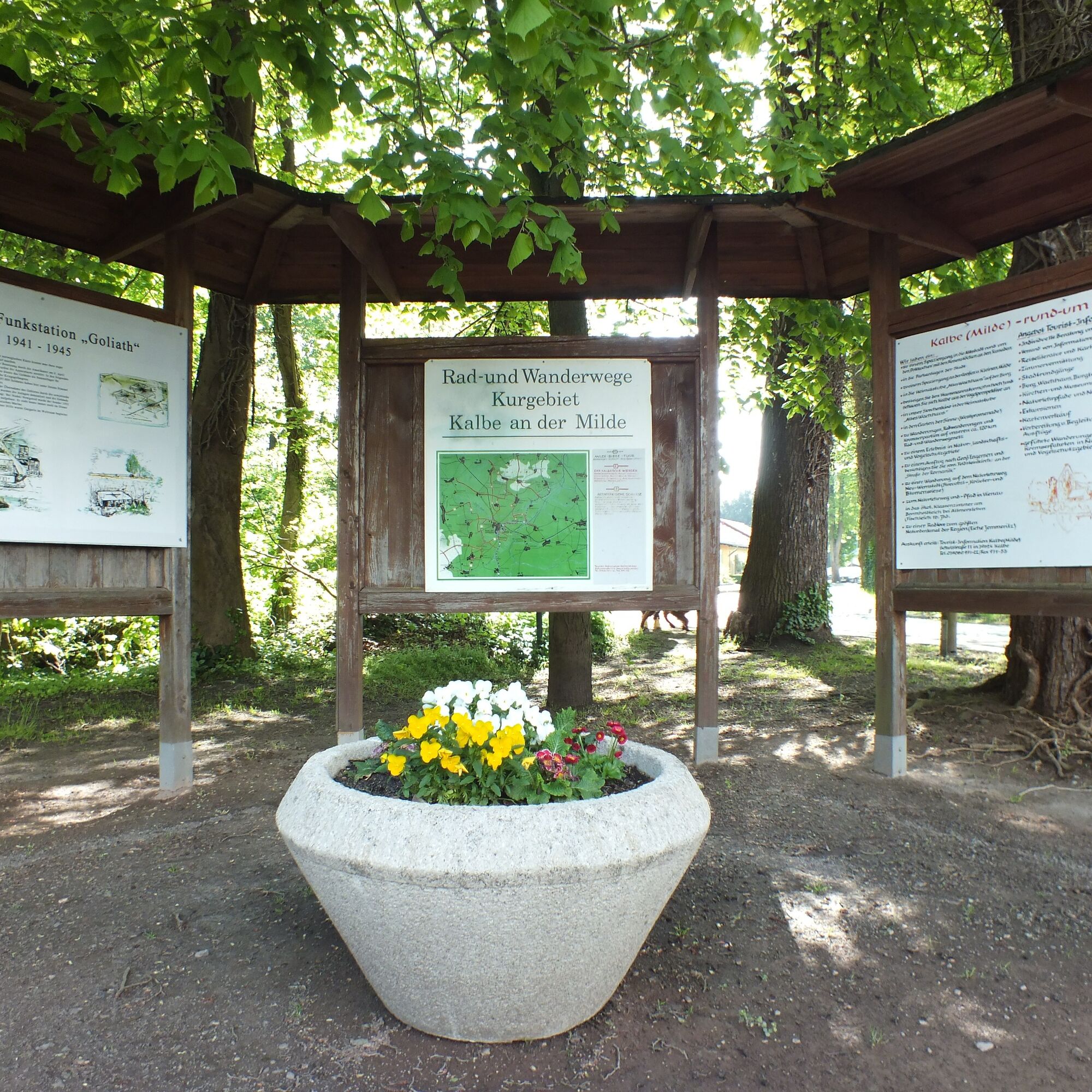

Our ride starts at the bike base at the castle, between MEDIAN Clinic and the retirement home.
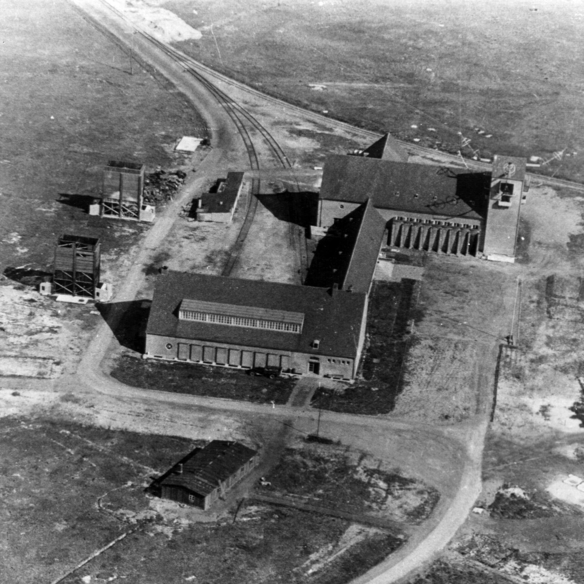
Just behind the bike base heading towards the retirement home, a path turns left. After leaving the park, we cross the road to Neuendorf and ride past the Kreuztannen until we reach the Milde. Then we follow the path along the right side of the Milde. The Milde was straightened at the end of the 18th century, continuing to the Goliath bridge.
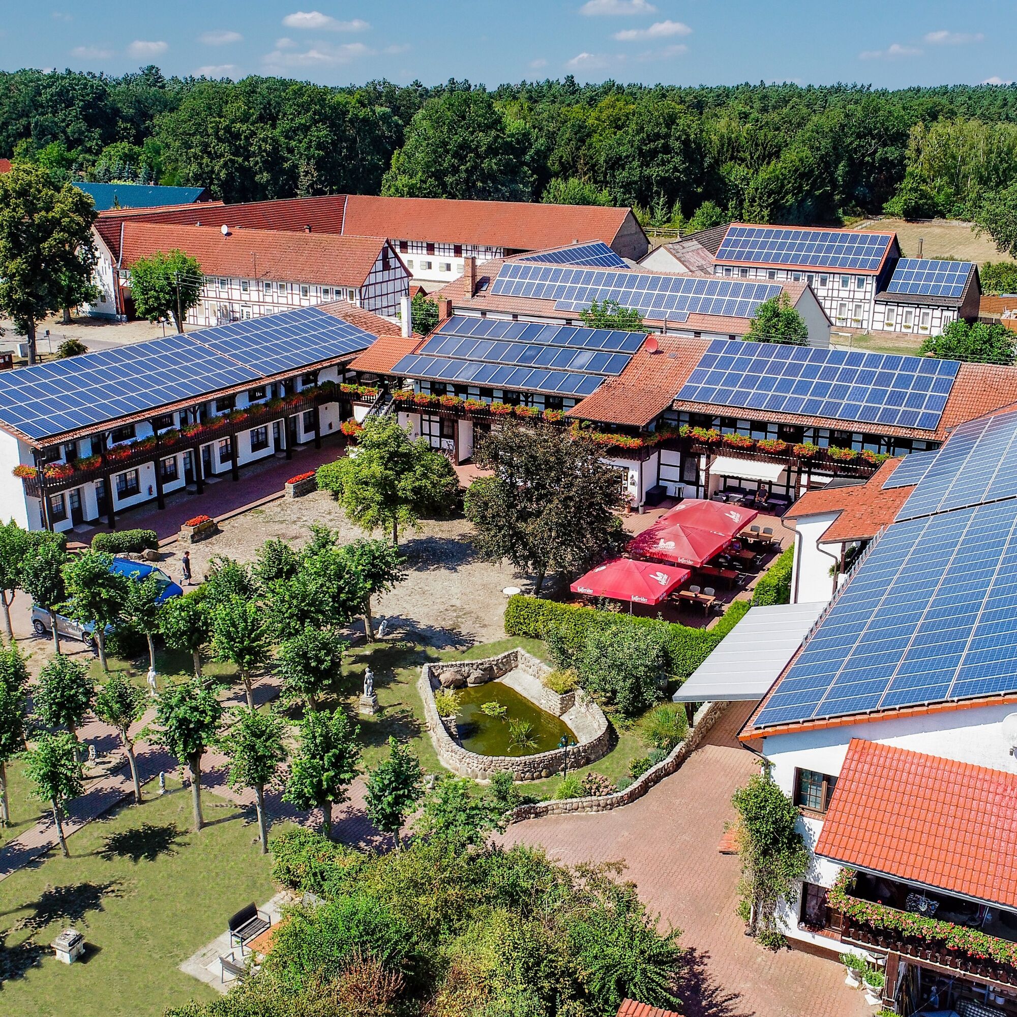
We turn right and continue along the Milde. We follow the path until we reach the connection between Karritz and Butterhorst. Please turn left here and then continue to Butterhorst. We pass through the small village and then turn left towards Altmersleben. Butterhorst’s name comes from a hill of valley sand in the original valley of the Milde. During floods, the Butterhorst locals used to catch fish on the village street. Shortly after Butterhorst, just before the bridge over the Untermilde, we turn right. We follow this path until we meet a path coming from the left. Here we turn right and at the next bend turn left. We now ride parallel to the Milde and can enjoy the beautiful nature. At the second turn, we go left and in the background, at the edge of Kalbe’s Werder, we can already see the town of Vienau. In Vienau, we follow the signs towards Mehrin. Here you can visit a well-known restaurant, the Mehrin Landhotel.
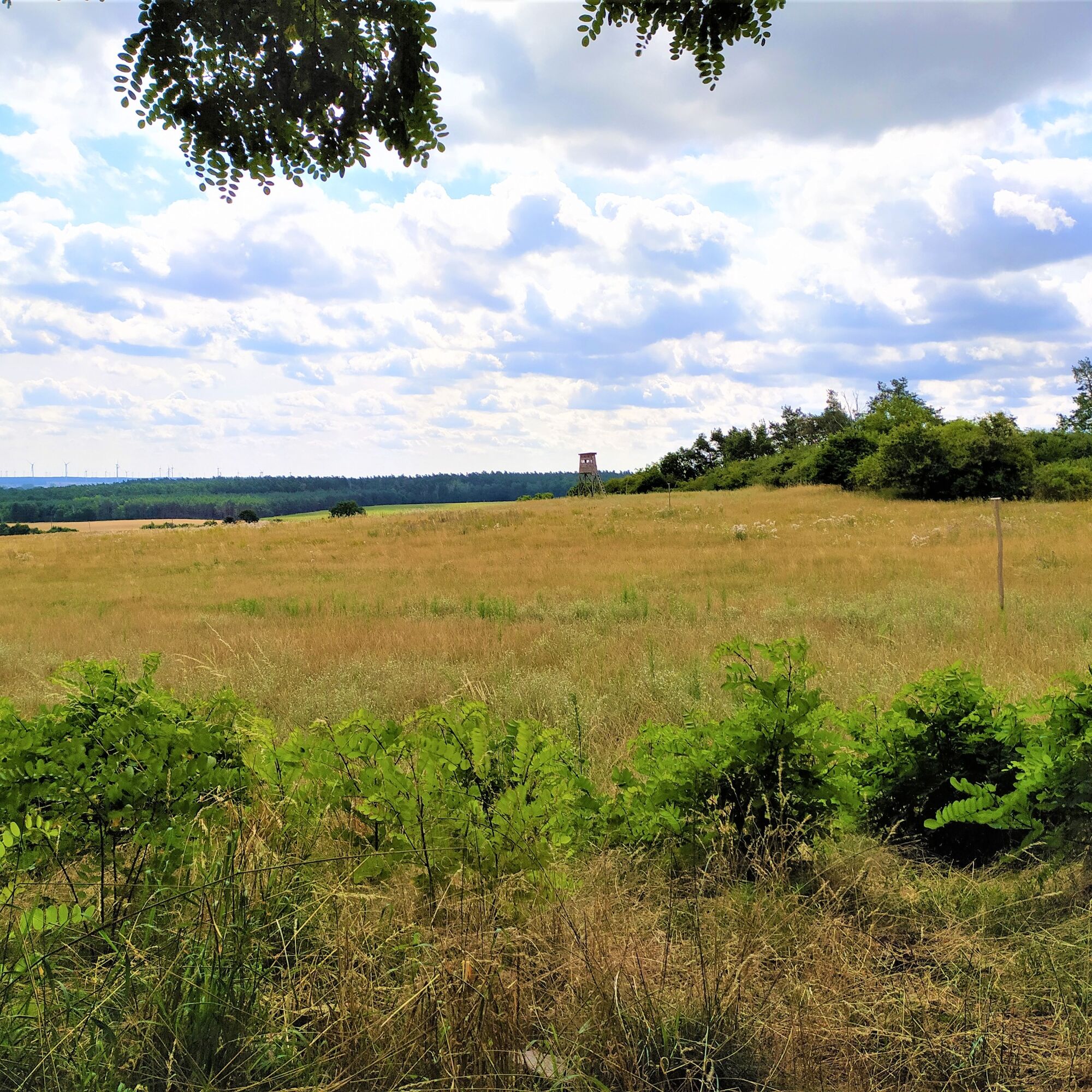
From Mehrin, we continue towards Dolchauer Berg, the highest elevation of Kalbe’s Werder. According to legend, in ancient times a giant lived here who threw large boulders and terrorized the surroundings.
From Dolchauer Berg, the route continues in a loop back to Mehrin. From here, please follow the map again. We then turn right towards the 7 Springs and Altmersleben. In Altmersleben, we reach Mühlenberg, where motocross events regularly take place.
If you wish, you can visit the church in the village by prior arrangement.
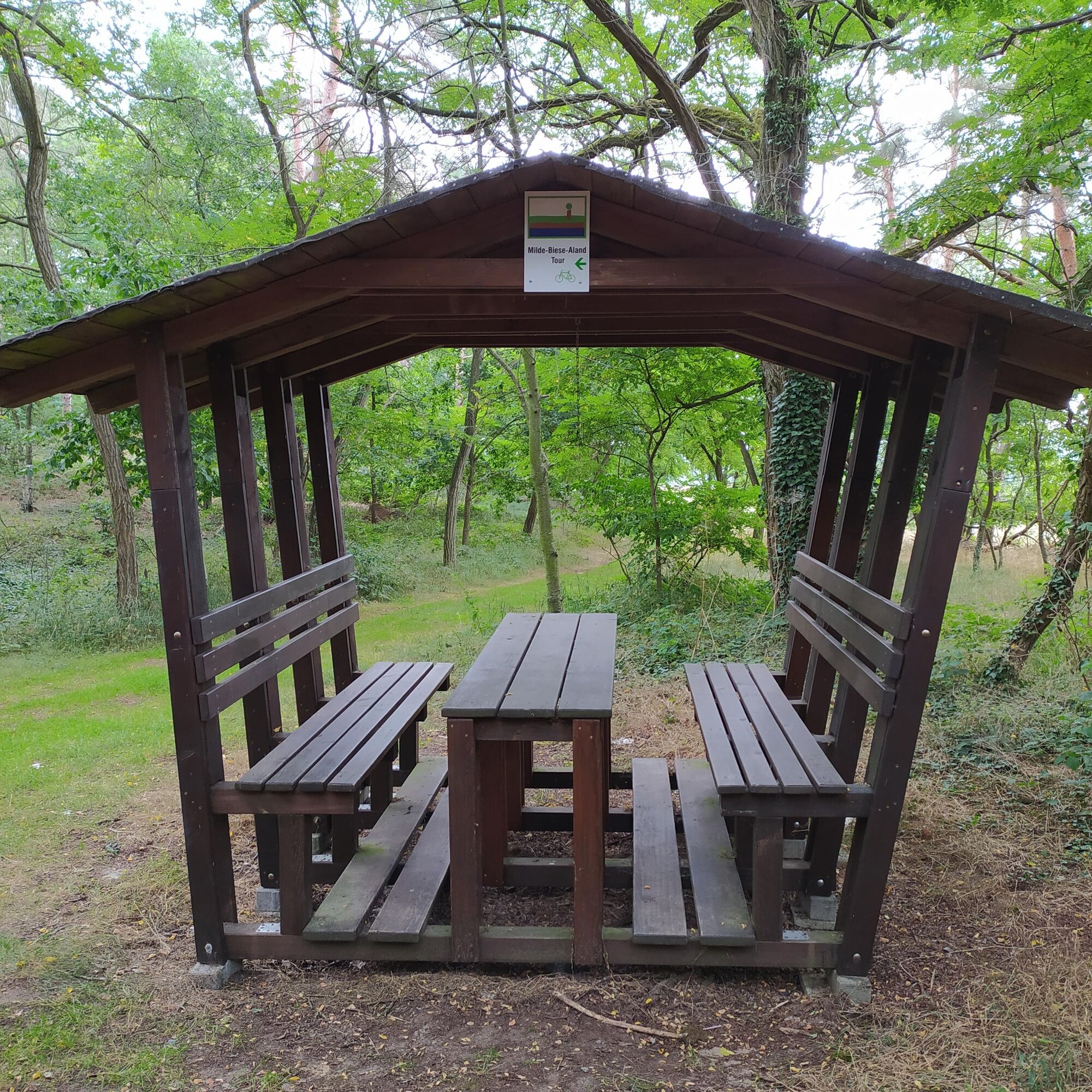
We continue towards Kalbe. At the point where the road makes a sharp left turn, we turn right, ascend the hill and, once at the top, turn left towards Vahrholz. This road was the official road from Kalbe to Altmersleben until 1885. Where the current road is now, there used to be only swamp. About 100 meters towards Vahrholz, there is a small seating area on the right. Here too, there is an opportunity to take a short break. In Vahrholz, you can visit the fieldstone church by prior arrangement.
We ride through the village towards Kalbe (M). Just before crossing the old railway line, you can take a quick look to the right. There is the Galgenberg. On this small hill used to stand the gallows of the Kalbe (Milde) court. On July 10, 1595, two alleged witches were burned here. We cross the old railway line and then turn left onto the country road to continue the ride towards Kalbe. Before that, we cross the bridge over the Untermilde, also called Flotte.
There is a place to stop at the Landhotel Mehrin.
Popularne wycieczki w okolicy
-
5,0
Hike to Rehhorst Kalbe (Milde)
światłoWędrówka 4,96 km -
Milde-Biese-Aland Route // River landscapes in the Altmark
średniJazda na rowerze 96,2 km -
Nature educational trail Vienau - Altmark landscape
światłoTrasa tematyczna 3,45 km -
Around Kalbe (Milde) - A bike route to Könnigde (Altmark)
średniJazda na rowerze 30,8 km -
Nature Trail Vienau - Altmark Landscape (with dining option)
średniWędrówka 8,74 km -
Around Kalbe (Milde) - A bike ride through typical Altmark villages
średniJazda na rowerze 21,6 km -
Around Kalbe (Milde) - A bike route to the Bornholdtteich
średniJazda na rowerze 18,9 km -
Spaziergang durch die historische Altstadt von Kalbe (Milde)
światłoPrzechadzka 2,64 km -
Gedenktafel-Spaziergang in Kalbe (Milde)
światłoPrzechadzka 3,85 km -
Rund um Kalbe (Milde) - Eine Radtour zum "Goliath"
światłoJazda na rowerze 11,4 km
Wędrówki i tropienie


Nie przegap ofert i inspiracji na następne wakacje
Twój adres e-mail została dodana do listy mailingowej.





