


Around Kalbe (Milde) - A bike route into the Altmärkische Schweiz
We would like to take you on a bike route through the Milde lowlands towards Schenkenhorst and then make a small detour into the Altmärkische Schweiz.
We ride through beautiful villages with even more...
We would like to take you on a bike route through the Milde lowlands towards Schenkenhorst and then make a small detour into the Altmärkische Schweiz.
We ride through beautiful villages with even more beautiful churches. The Wiepke Church is even located on the Road of Romanesque and can be visited by prior arrangement. Furthermore, there is a water mill in Wiepke that can also be visited by arrangement.
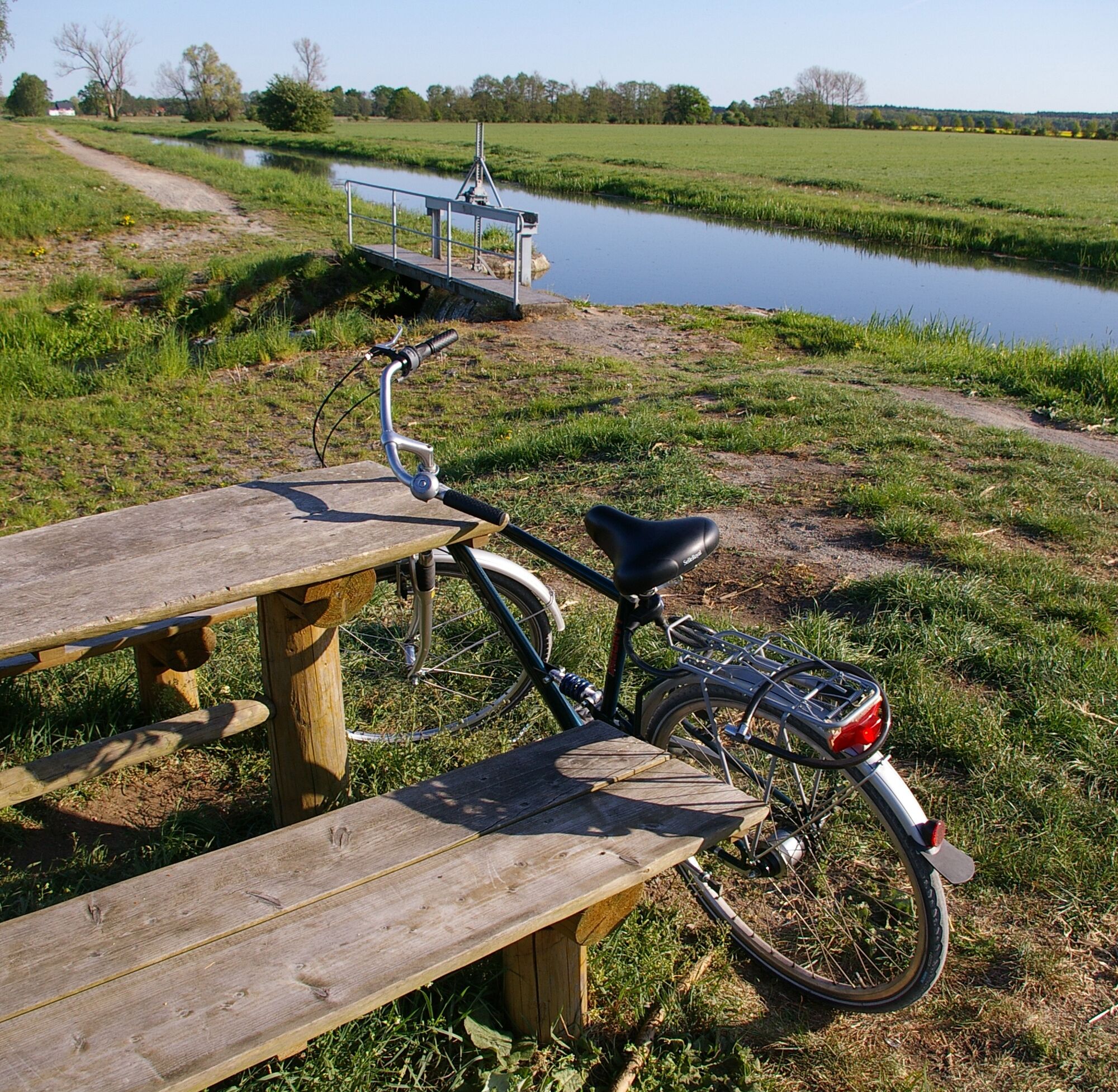
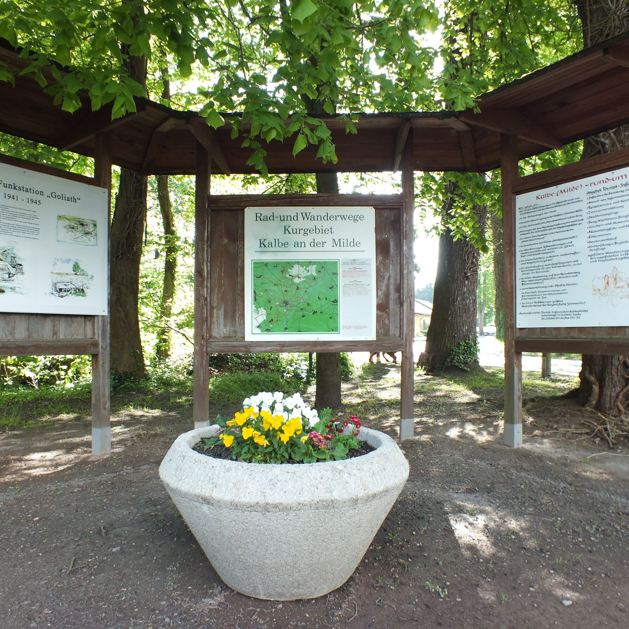

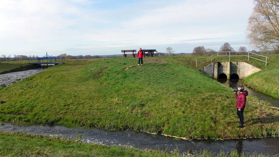
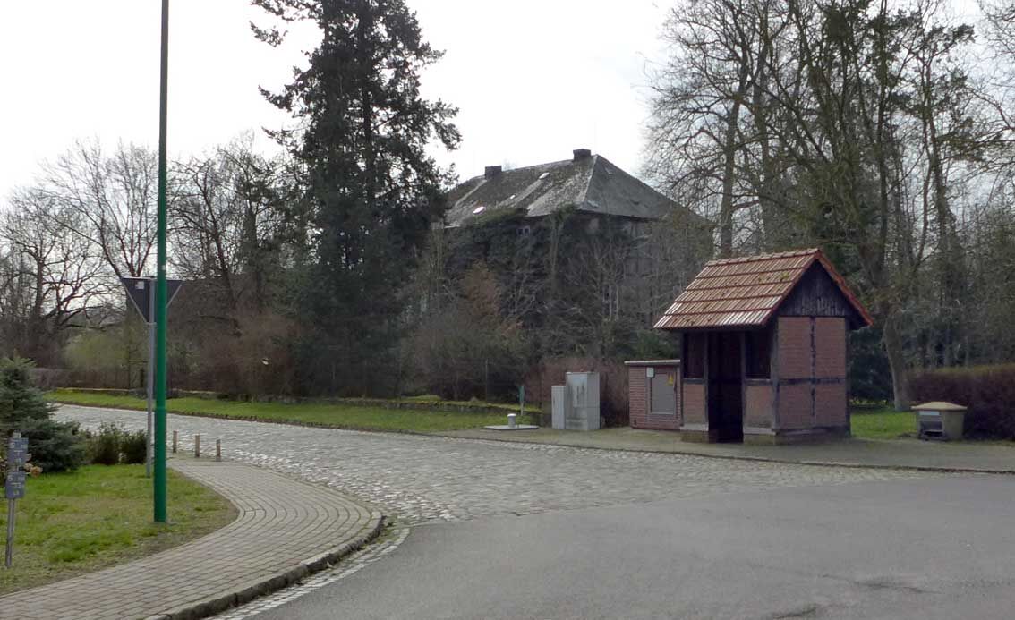


We start at the hiking base at Straße der Jugend. Then we continue toward the city, at the height of the swimming pool (always worth a visit in summer) we turn left into the white wall and reach the path at the Milde at the end. We follow this path to the Gardelegen Gate. Here we turn left and follow the course of the Milde. A regulation of the Milde was already carried out here in the 12th century. Partly the Milde dike is 2 meters above the surrounding area. We ride through this very beautiful area up to the weir shortly before Schenkenhorst. Here we find a small peculiarity: the Wiepker Beecke comes from the right, it flows under the Milde and then becomes the Königsgraben, which flows back into the Milde below Kalbe (Milde). At the same time, there is an overflow here so that the city of Kalbe (M) is always protected from flooding. Even in the 1960s, the boys could skate directly from Wiepke over the Beecke and Milde to Kalbe. There are also seating options here for a rest. Before Schenkenhorst, we turn right over the bridge and then to the middle of the village. 50 meters further left you can see the old manor house of the von Alvensleben family. Unfortunately, it cannot be visited. In the summer, the popular park singing always takes place here. In the middle of the village, we turn right, a short distance on the country road to the biogas plant. There we turn left and ride through the meadows to Wiepke. At the very beginning of the village, we see the old station of the Kalbe (M) – Gardelegen light railway line on the left side. We ride through the village to the federal highway 71. There we cross this street (traffic light) and continue to Mühlenweg. Here is a very beautiful, ancient water mill. It can be visited by prior appointment. Then we continue into the hills; when we have reached the next rise, half of the route is done. On entering Zichtau, there is the holiday park immediately on the left, offering overnight accommodation. At the next junction, we turn right. On the road, we then have the option to turn left and visit the beautiful forest bath or Gut Zichtau. But we continue straight past the beautiful church. At the exit of the village, we turn left, then immediately right again. We ride through a beautiful avenue. On the right, we can then visit a tree calendar/arboretum on a hill. However, we turn left at the next junction. At the point where the forest begins on both sides, we find another small rest area (An der Nachtweide). We follow the path uphill and turn right at the crossroads. We continue straight until we already see the parking lot on the B 71 in the distance, where there is again an opportunity to rest. We cross the road and keep to the right. Here a military hospital stood in the last days of World War II. At the next junction, we continue to the right and then ride a long way downhill after reaching the rise. Until we reach the small village of Neu Wernstedt. We cross the country road and ride through the village. Then we follow an agricultural path. At the next junction, we turn right once and then immediately left again. We then cycle towards our last small hill, the Pickelsberg. Once at the top, we turn left and at the next junction in the valley then right and after 100 meters left again. At the end of this small dead-end road, you can still see a former railway bridge of the light railway over the ditch. Here we turn right into the old plan way, at the end of which we reach the Milde and thus Kalbe (Milde) again.
Take a backpack with provisions with you.
The nearest train station is in Brunau-Packebusch, about 15 km away.
You can park centrally at the free Culture House parking lot.
http://www.wiepke.de/g.php?pid=g_9_sch.php
Visit church and water mill Wiepke Mr. Gille 039085 6418
Take your time and explore the grounds of Gut Zichtau, beautiful!
Popularne wycieczki w okolicy
- 5,0
Hike to Rehhorst Kalbe (Milde)
światłoWędrówka 4,96 km Milde-Biese-Aland Route // River landscapes in the Altmark
średniJazda na rowerze 96,2 kmHeideweg Gardelegen
średniWędrówka 16,0 kmGartenträume: Wallrundgang um die Hansestadt Gardelegen
światłoTrasa tematyczna 2,28 kmWildschwein-Tour Klötze
Wędrówka 12,5 kmThe Altmark Reformation Bike Route - circular tour
średniJazda na rowerze 34,8 kmNature educational trail Vienau - Altmark landscape
światłoTrasa tematyczna 3,45 kmOn Reutter's Trail - Themed route in Gardelegen
światłoTrasa tematyczna 1,36 kmThe Altmark Reformation Bike Route - Stage Tour
światłoJazda na rowerze 37,8 kmAltmark Reformation Cycle Route - experience church history actively
ciężkiJazda na rowerze 167,8 km
Wędrówki i tropienie


Nie przegap ofert i inspiracji na następne wakacje
Twój adres e-mail została dodana do listy mailingowej.