







On the Roman trails
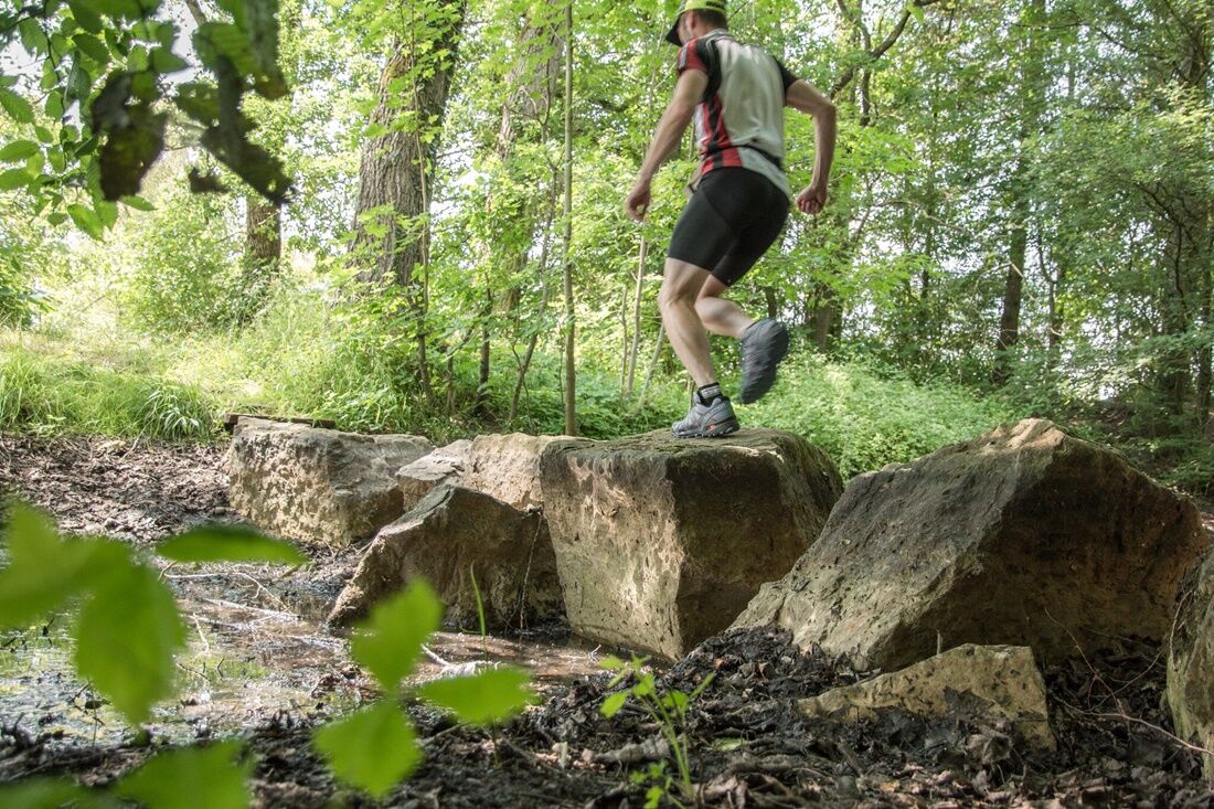
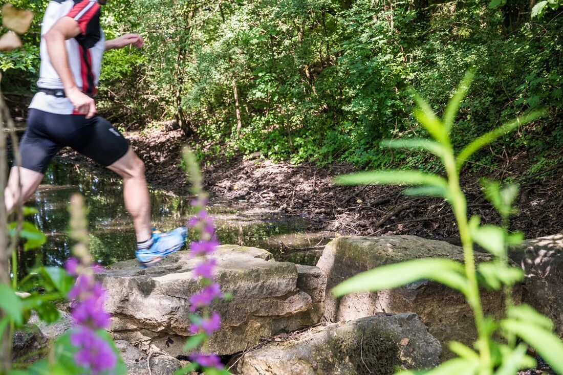
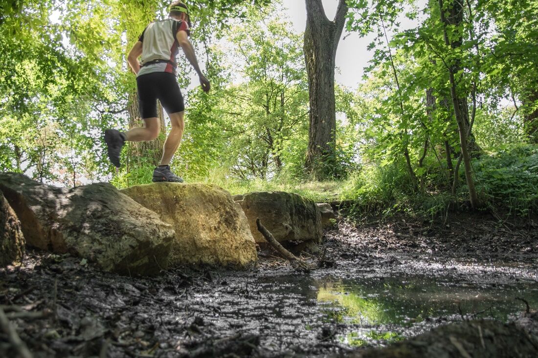
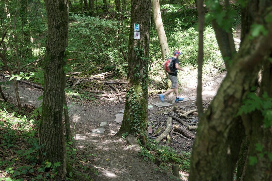

From the main gate of the reconstructed Roman villa, the Villa-Borg Trail leads directly into the Meeswald. We can look forward to 5 kilometers of pure trail running pleasure. Seemingly endless paths make our trail runner's heart beat faster, not only figuratively. On the right and left of our route, trail fans will find many other great sections. Anyone interested can simply turn off and follow the trails.
Along the route, we also encounter some scenic and culturally interesting points. Right at the beginning, we pass a beautiful forest biotope with a great, natural environment. A few trail kilometers later, we come to the so-called Hunnenschanze, colloquially also called Sieder, on the outskirts of Borg. Here, large stepping stones lead us over the water accumulation in the ditches.
"Hunnenschanze" is a popular term for prehistoric and early historic fortifications, mostly ramparts or refuge castles. However, the name is not a reference to the Huns. Archaeologists date the origin to the La Tène period, i.e., several hundred years before the Huns’ raids on Central Europe. In Borg, preserved rampart and ditch remains of an earthwork castle with double walls and a ditch in between can be found.
After the Hunnenschanze and its hills and ditches, which are quite interesting for trail runners, we continue following the Villa-Borg Trail back towards the Roman villa. The last path section leads us over the former Roman road between Metz and Trier, one of the most important trade routes of that time. Today, this connection can no longer even be guessed at. Only old maps still provide clues about the former course. By the way, numerous buildings of the Roman Villa Borg are located underground in this area. This concerns the former economic area, which was largely reconstructed during the period of rule.
Popularne wycieczki w okolicy
-
4,4
Traumschleife Cloefpfad
średniWędrówka 8,02 km -
4,4
Trassem - Haus Jochem - Kruterberg - Klein Heide
średniWędrówka 11,3 km -
5,0
Traumschleife Kastel-Staadt Felsenpfad
ciężkiWycieczki górskie 10,2 km -
4,8
Taben-Rodt Gipfel Maunert
średniWędrówka 12,0 km -
Moselsteig stage 02: Palzem - Nittel
średnidługodystansowy szlak pieszy 16,4 km -
4,0
Montclair Tafeltour 01.08.2021
światłoWędrówka 9,17 km -
5,0
Saarschleife Tafeltour
ciężkiWędrówka 16,4 km -
Moselsteig stage 01: Perl – Palzem
ciężkidługodystansowy szlak pieszy 23,8 km -
Mosel Cycle Path Section 1: From Perl to Nittel
światłoKolarstwo długodystansowe 25,3 km -
5,0
Erasmus-Schleife
światłoWędrówka 4,33 km
Wędrówki i tropienie


Nie przegap ofert i inspiracji na następne wakacje
Twój adres e-mail została dodana do listy mailingowej.





