







Perl 44

Poziom trudności: S1
7 plus 1
In 7 (MTB) plus 1 (Gravel) different variants, we want to guide you on our signposted PERL BIKE routes through the border triangle and its history. We present our natural and cultural landscape...
7 plus 1
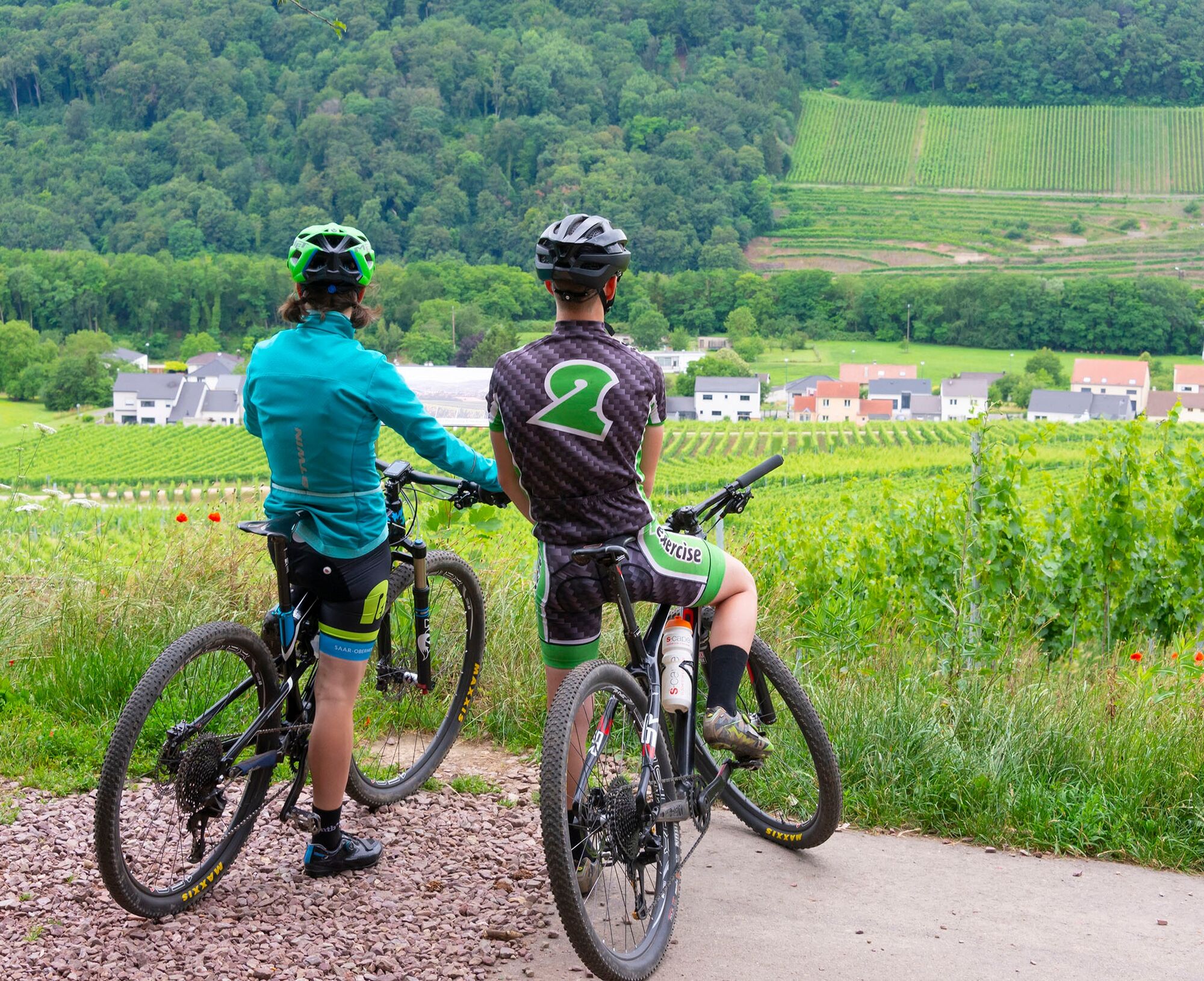
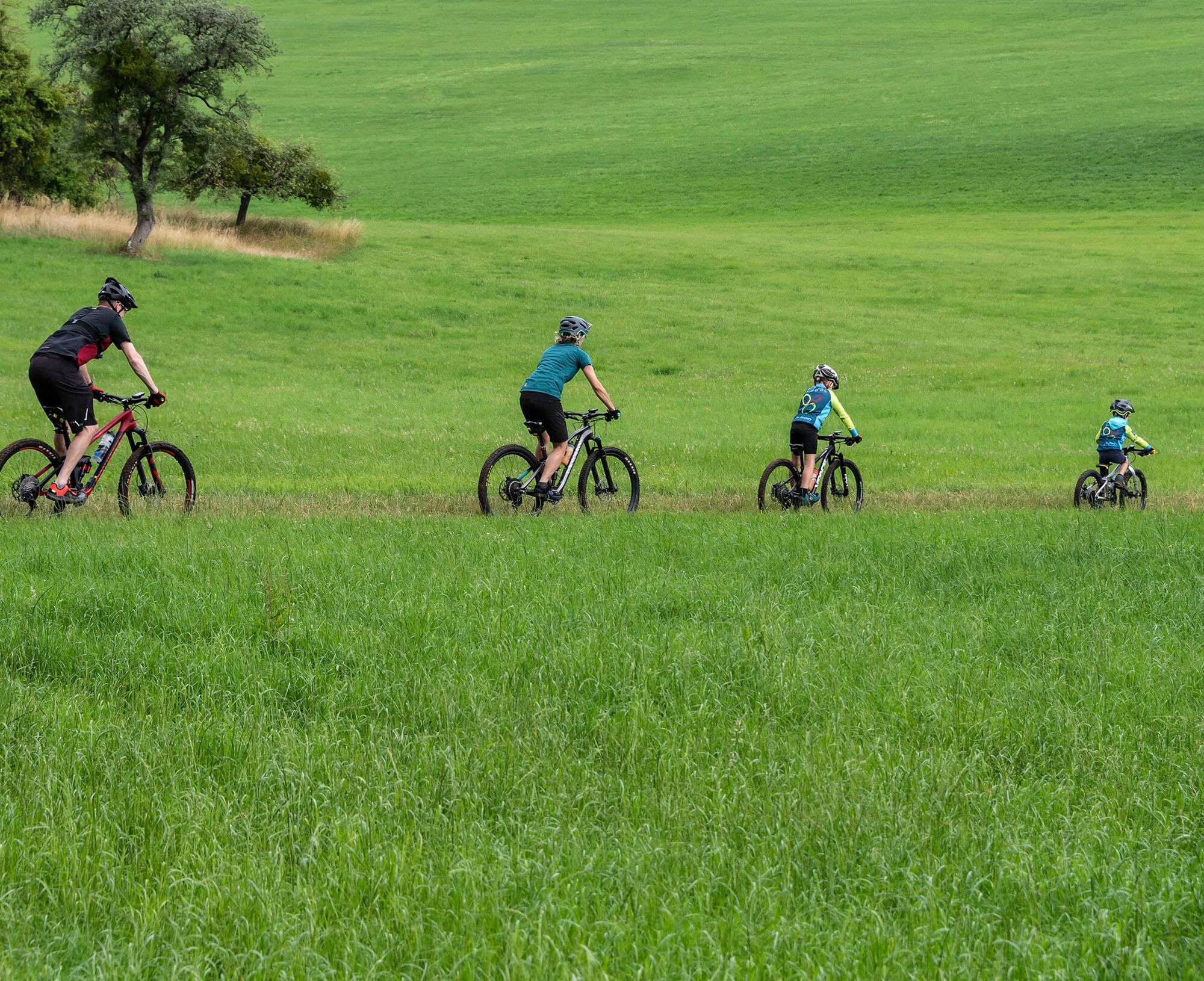
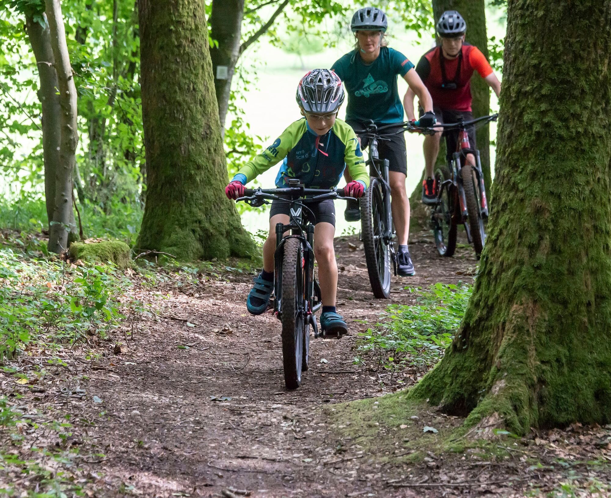
In 7 (MTB) plus 1 (Gravel) different variants, we want to guide you on our signposted PERL BIKE routes through the border triangle and its history. We present our natural and cultural landscape as well as our tourist highlights in a sporty summary. The roadbook features our local forests, orchards, and vineyards – and of course historic sites such as the former Höcker Line, the mosaic in Nennig, the Roman Villa Borg, or the Renaissance Castle Berg.
Start in Perl
The base of our routes is the PERL 100 loop with a little more than 100 kilometers. All other variants are sections and shortcuts of this route. The approximately 80-kilometer gravel variant skips difficult, steeper, and rocky trails, and can basically always be used as an easy variant with a mountain bike as well.
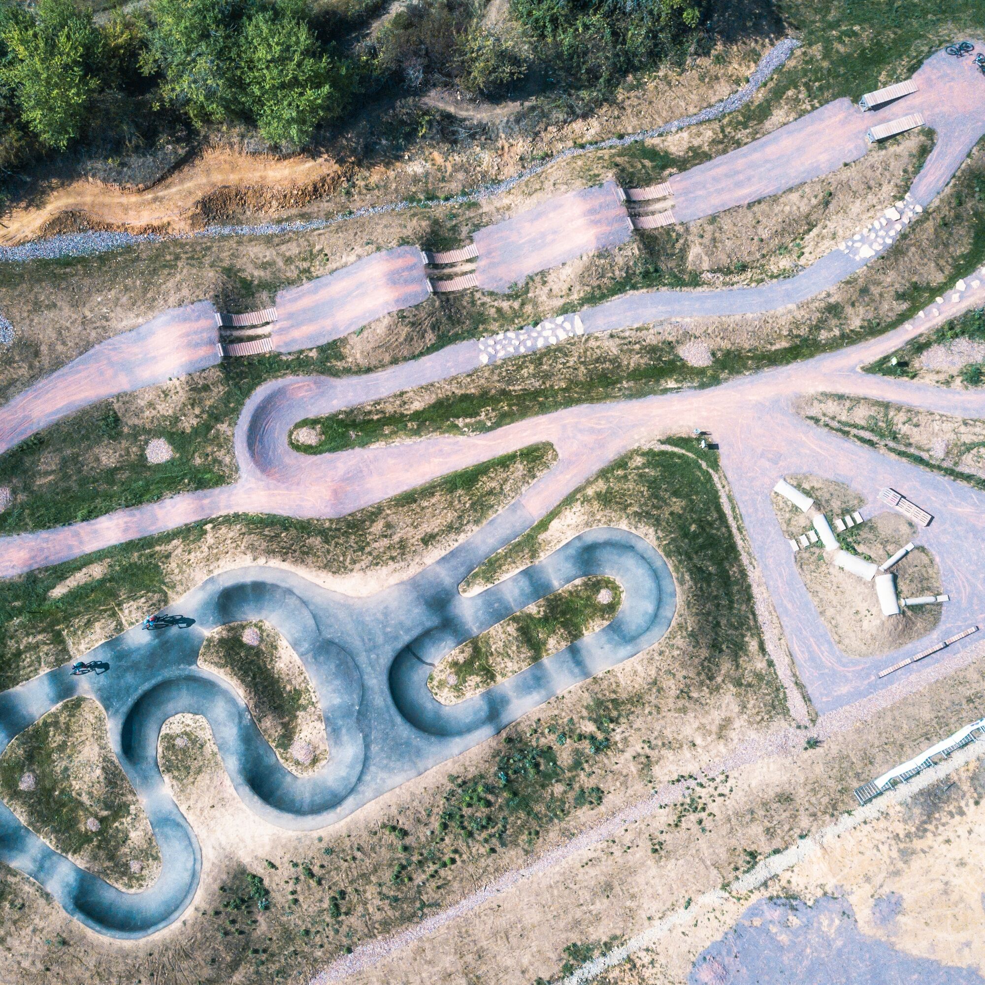
Our 7 MTB routes and our gravel loop start in Perl at the mountain bike facility. Another starting point for all routes can be found in Borg directly at the parking lot at Kuhampel. All routes are marked with the well-known marking symbol (orange triangle + 2 circles). Nevertheless, we recommend using a GPS device with the respective track. Unfortunately, we are not immune to vandalism, manipulation, and sign theft. If you notice any inconsistencies, please report them to us as soon as possible.
The route number gives an indication of the approximate length of the route. The colors black-red-blue-green indicate the overall demand (fitness, riding technique, etc.) of the route. Since these assessments are always very individual and depend on personal fitness, skills, and also the equipment, we refrain from more detailed information about the difficulty level.
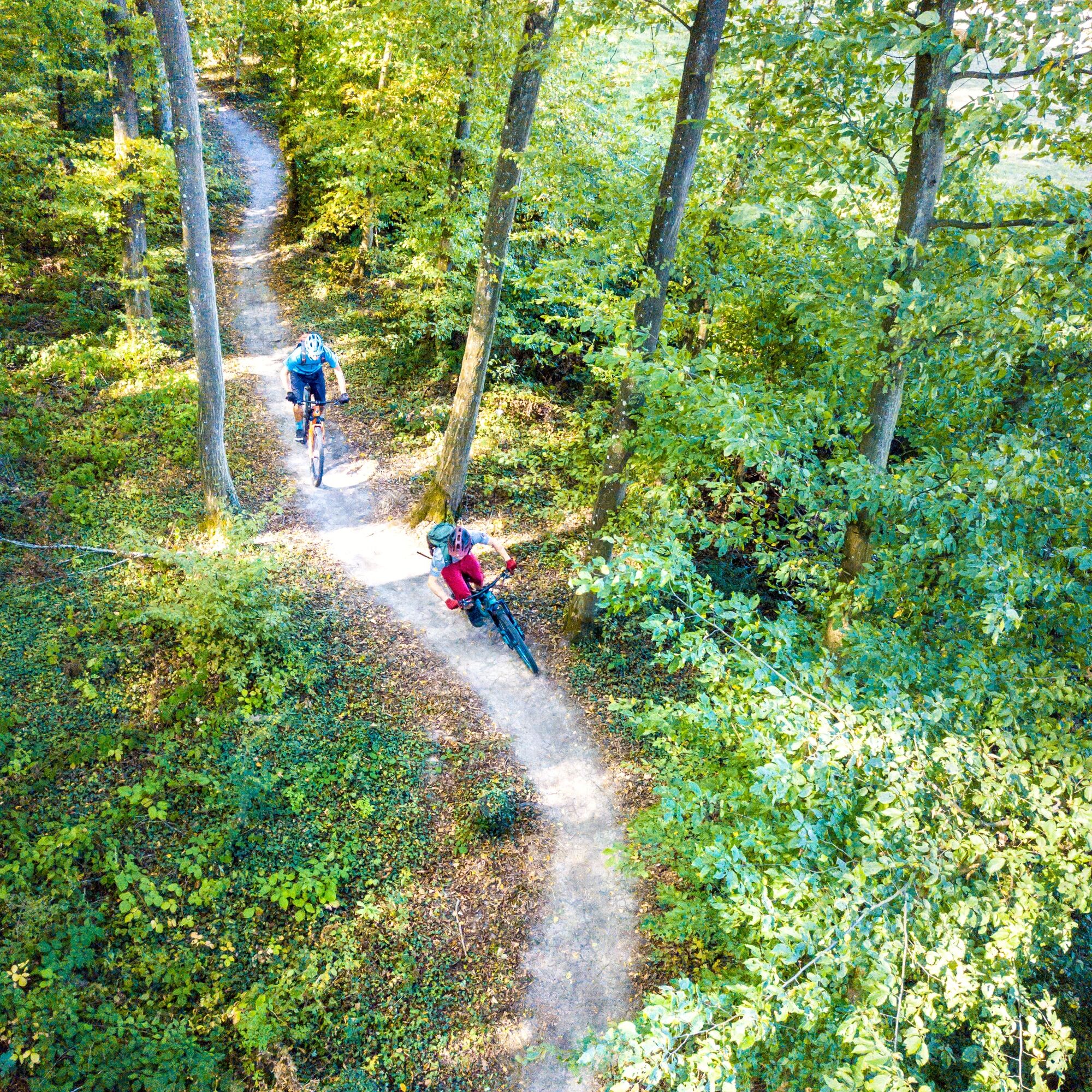
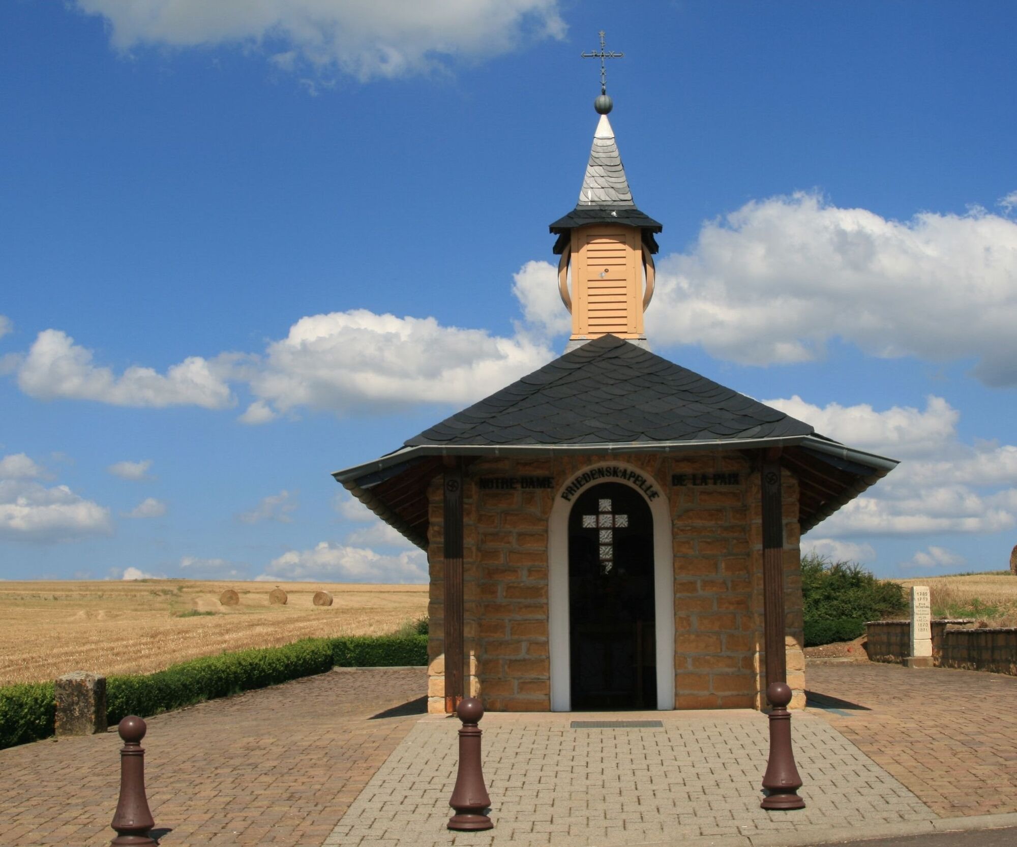
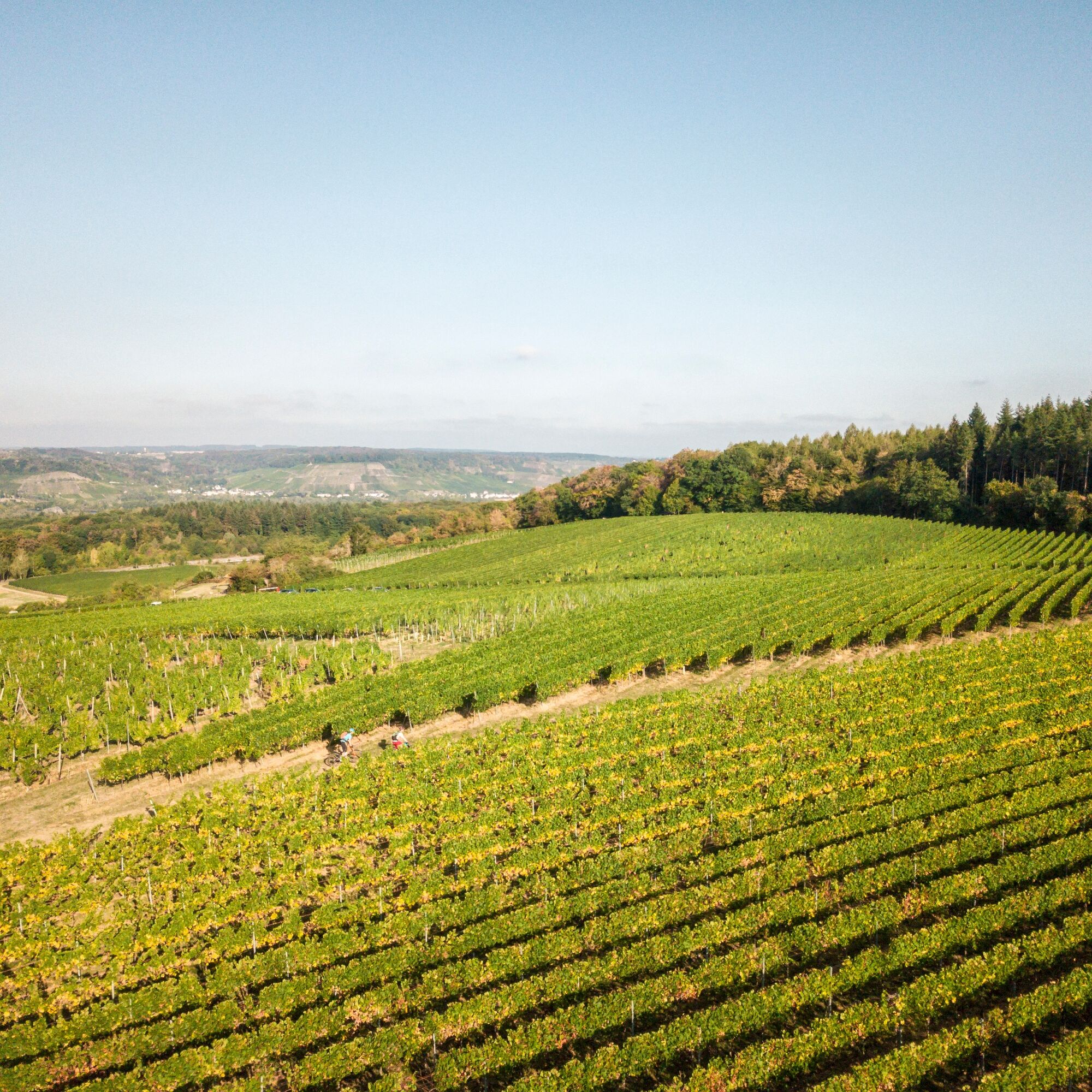

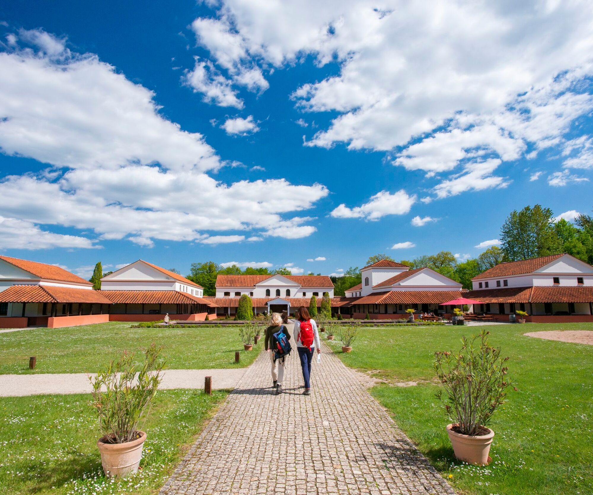
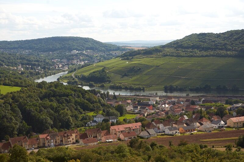
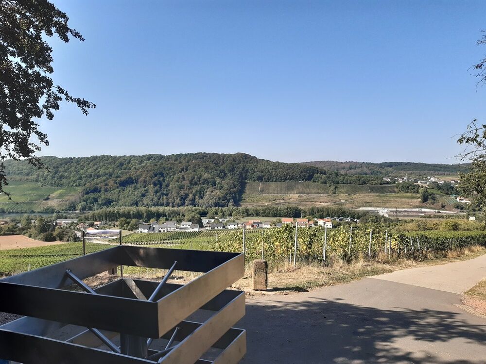
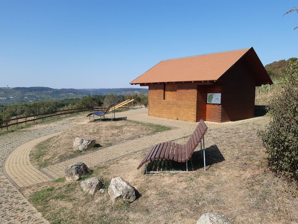

MTB facility Perl - Besch - Wochern - Höcker Line - Roman Villa Borg - GLADIATOR RIDE - Peace Chapel - Belmach - Apach - Border Triangle View - Hammelsberg - Sehndorf
S1
Popularne wycieczki w okolicy
-
4,4
Traumschleife Cloefpfad
średniWędrówka 8,02 km -
4,4
Trassem - Haus Jochem - Kruterberg - Klein Heide
średniWędrówka 11,3 km -
5,0
Traumschleife Kastel-Staadt Felsenpfad
ciężkiWycieczki górskie 10,2 km -
4,8
Taben-Rodt Gipfel Maunert
średniWędrówka 12,0 km -
Moselsteig stage 02: Palzem - Nittel
średnidługodystansowy szlak pieszy 16,4 km -
5,0
Saarschleife Tafeltour
ciężkiWędrówka 16,4 km -
4,0
Montclair Tafeltour 01.08.2021
światłoWędrówka 9,17 km -
Moselsteig stage 01: Perl – Palzem
ciężkidługodystansowy szlak pieszy 23,8 km -
Mosel Cycle Path Section 1: From Perl to Nittel
światłoKolarstwo długodystansowe 25,3 km -
4,0
Panorama Path Perl
średniWędrówka 11,6 km
Wędrówki i tropienie


Nie przegap ofert i inspiracji na następne wakacje
Twój adres e-mail została dodana do listy mailingowej.





