


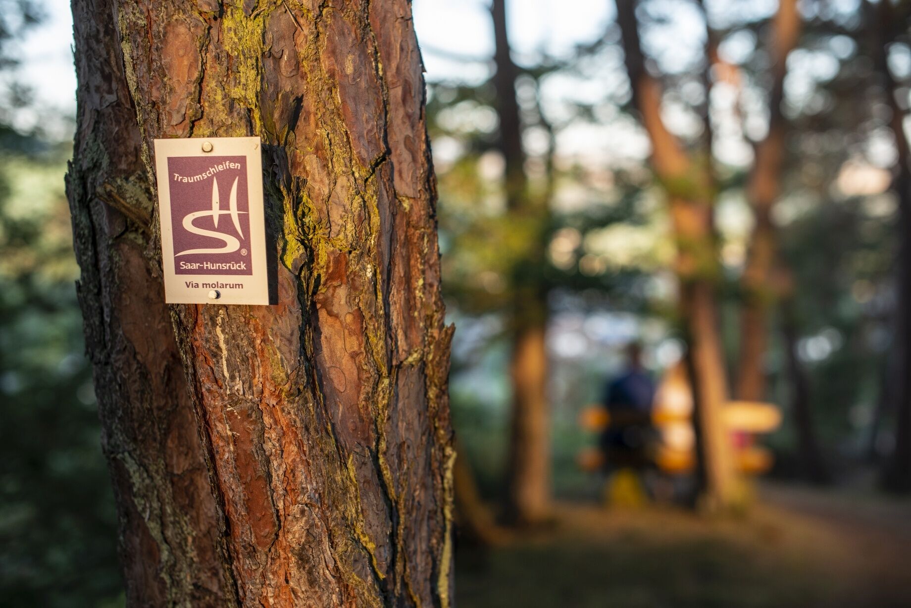
Dream loop "Via molarum"
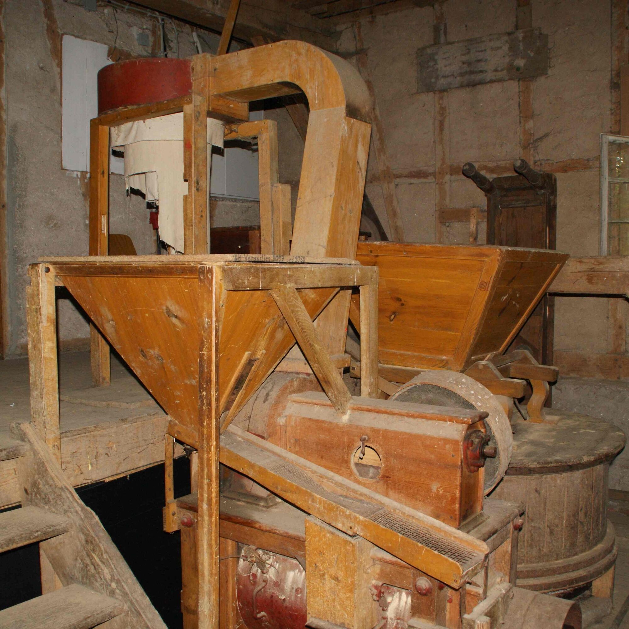
Formerly, numerous mills stood on the Hirsch-, Idar-, and Altbach, some of which are still present today. They are used as residences, barbecue huts, gastronomy, or accommodation businesses. On the outskirts...
Formerly, numerous mills stood on the Hirsch-, Idar-, and Altbach, some of which are still present today. They are used as residences, barbecue huts, gastronomy, or accommodation businesses. On the outskirts of Wahlenau, next to a rest area with a fabulous view of the Idar forest, is the inn Wahler Mühle. At the beech clearing behind Wahlenau, mighty beech trees stand. The partly dead giant trees give the scene a mystical touch. After crossing the forest, another panoramic view of the Idarkopf opens up. Shortly before the Reitzenmühle, which is privately owned, the path turns into the Idar valley. Soon after, we leave the idyllic stream valley and climb the Marktwieser Berg. On our way to Horbruch, we pass the Hockenmühle, which offers guest rooms, at a slight distance. From the trail, the Emmerichsmühle (also with overnight accommodation) is visible. The "Marienmühle" can be rented as a barbecue hut.

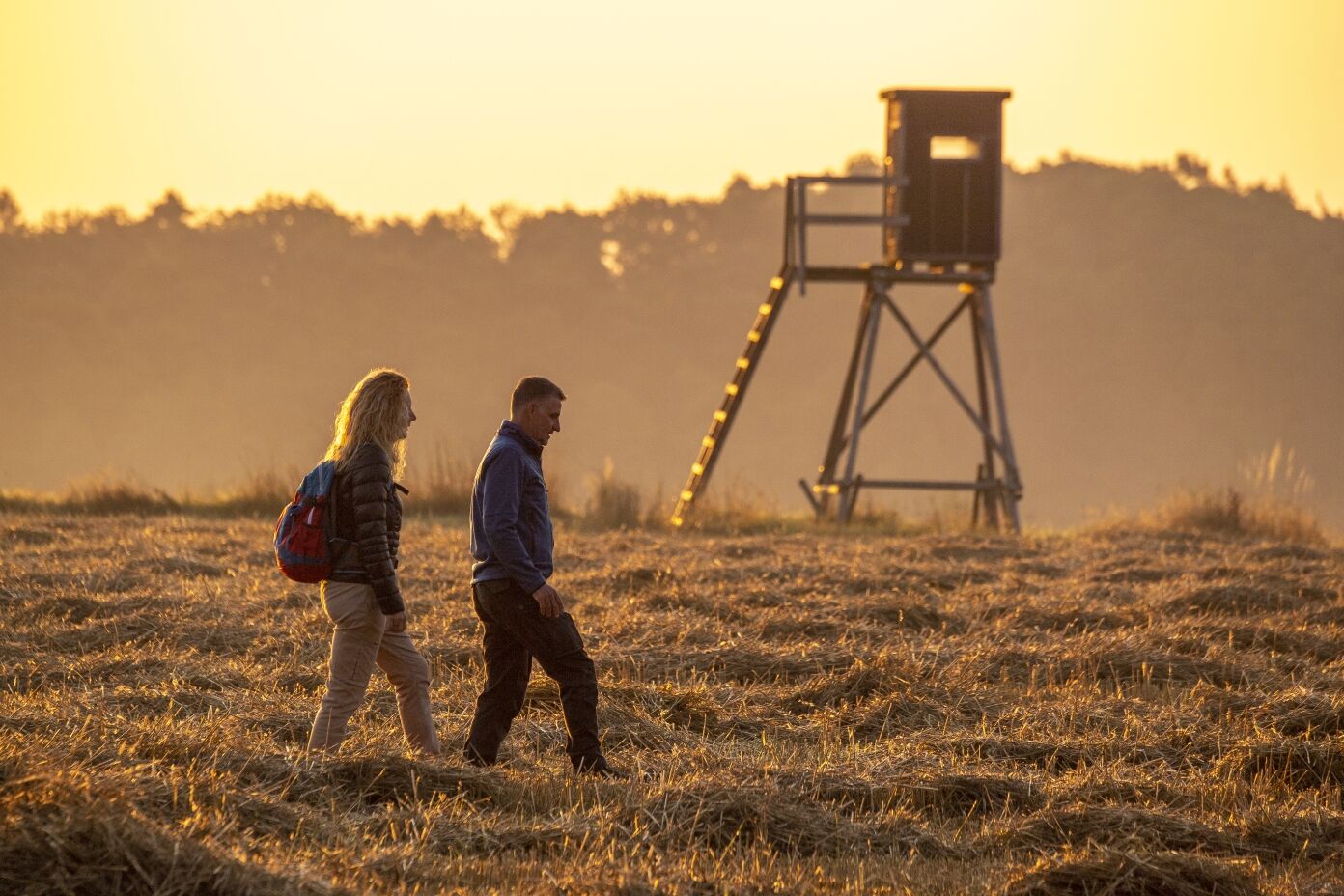
We begin our hike at the center of Horbruch on the dream loop “Via molarum”, which we will complete clockwise. We cross the main road and walk along Kleinicher Weg to the outskirts, where we turn right. Shortly after, we take the first field path to the left and head toward the nearby forest edge. There we turn right and enjoy the view toward Hirschfeld. After 1.4 km we turn right, cross the small Hirschbach stream, and at the next intersection, turn right toward Hirschfelder barbecue hut. Having just passed it, we cross the K 73 at the edge of Hirschfeld and continue straight ahead.
At first, we are accompanied by vegetation along the Hirschbach valley path, but after passing the trail to the monument of the Hunsrück painter Karl Friedrich Ströher, we are surrounded only by wide, open fields.
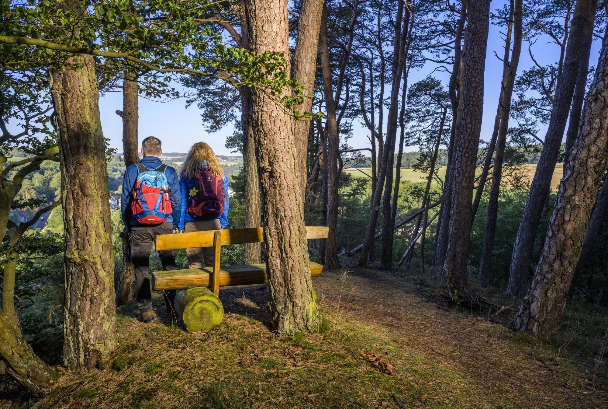
After 2.9 km, we reach an asphalt road, which we follow downhill to the nearby Wahlenauer Bach stream on the right. Having crossed the stream, a path leads left into a small wood, where a bench invites you to a relaxing break amidst greenery. Just above, we meet a field path and turn left. Careful, as it doesn’t take long before the “Via molarum” turns right uphill into the forest. The forest section is short, then at the forest edge, we reach a beautiful viewpoint of Wahlenau, where there is even a sensory bench.
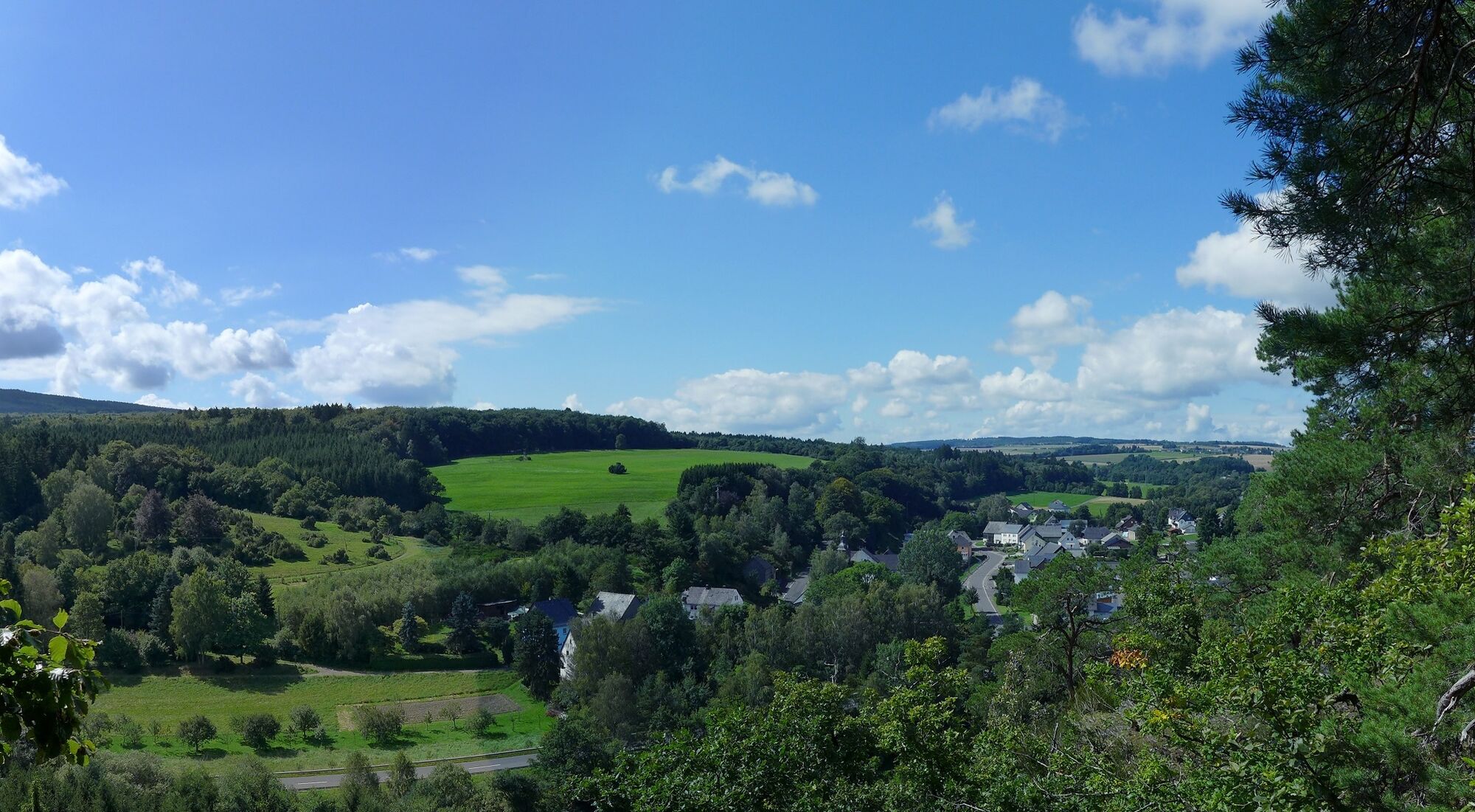
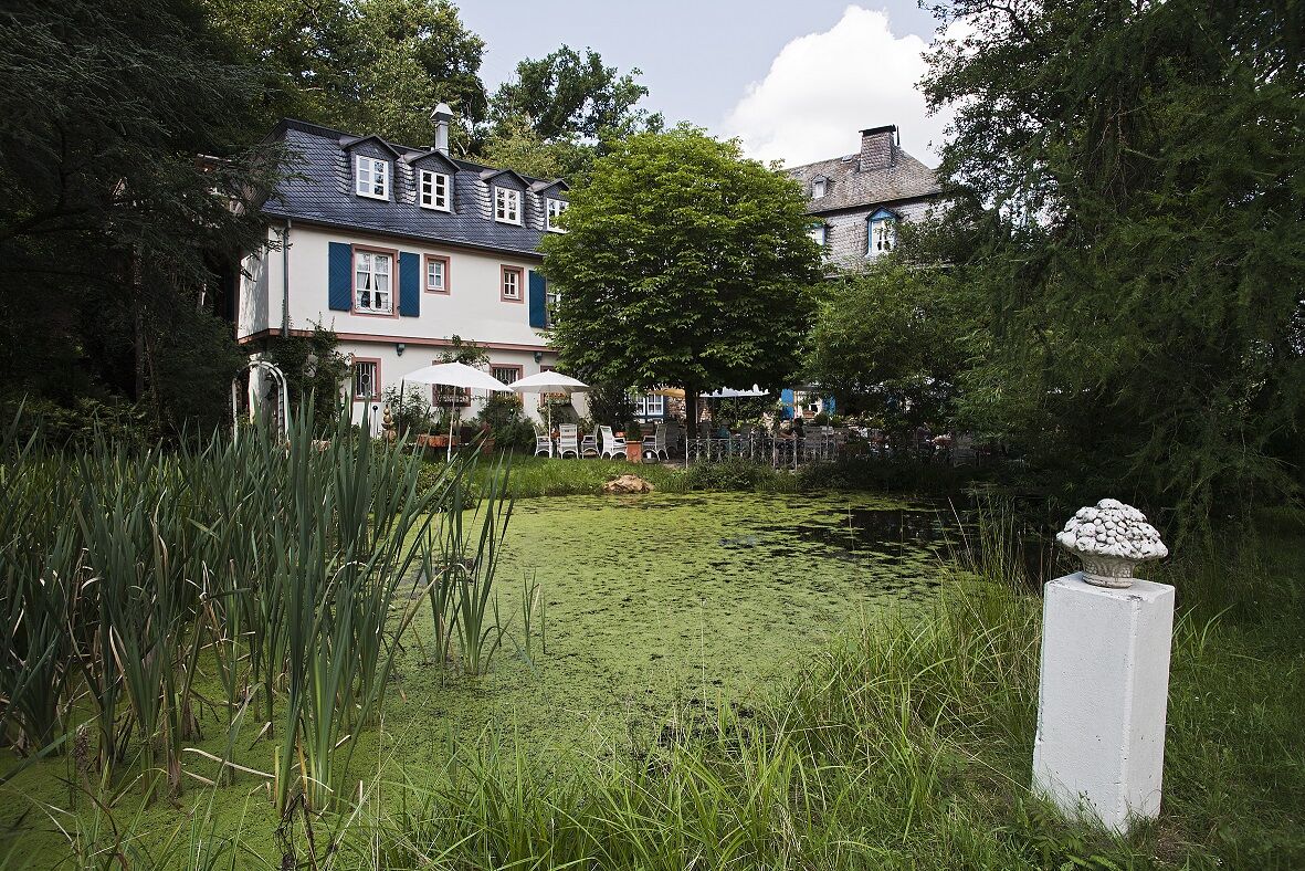
After a short rest, we follow the trail signs downhill again to the valley path, where we turn right and hike to nearby Wahlenau. There we are greeted by a large rest area, from which a path leads uphill and brings us, after 4.4 km, to the first mill of the day. At the “Wahler Mühle” the “Via molarum” turns right and quickly takes us past gardens toward the eastern edge of Wahlenau. We also pass a small parking lot in the village center that can be used as an alternate starting point.
At the village edge, we overcome a small left-right kink at a road and then walk parallel to K 73 until the first field path, which we follow to the right. While wandering through the fields, a great view opens up. At the next field path, we keep left before turning right uphill to the forest. We walk along the forest edge to the left until a small wooden portal appears on the right. Behind it, after 6.3 km, we reach the beech clearing for a break in the greenery.
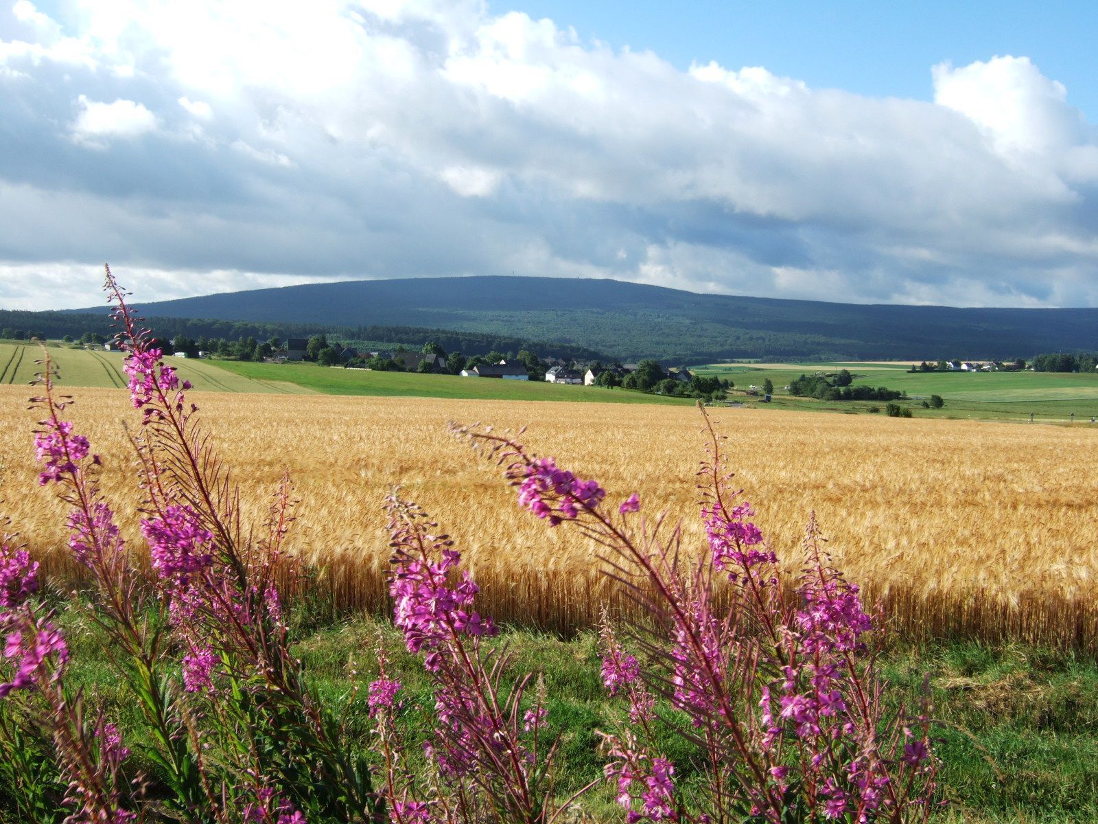
Next, the “Via molarum” leads us over a small hill through the forest before open fields spread before us again. The Idarkopf is clearly visible ahead as we walk gently downhill and, after a hedge row, turn left onto the old Roman road. Shortly after, we cross K 74 and continue along the forest edge on an idyllic nature trail until the trail signs soon send us right at a fork. We soon reach an intersection, continue straight, and after a few steps are accompanied both by the dream loop Kappleifelsentour and the Saar-Hunsrück-Steig trail. Soon we branch off the wide path to the left and reach a bench with a view after 8.8 km. Afterwards, we enter the forest and begin the partly steep descent into the Idarbach valley.
We reach this near the Reitzenmühle. Here, the Kappleifelsentour and the Saar-Hunsrück-Steig leave us. We turn right into the Idarbach valley, but soon go uphill again, as the “Via molarum” winds on a narrow path up the steep "Marktwieser Berg." After gaining noticeable altitude, we leave the forest and walk left along an almost level path along the forest edge. Soon, the “Via molarum” takes us back into the forest, where the descent to Krummenau begins. Passing a fantastic viewing and rest spot, we master the partially challenging descent that partly runs over a rock ridge (surefootedness required!). When we leave the forest at a rest area on K 71, the most difficult section of this route is behind us.
We follow the shoulder to the right and walk along the high fence into nearby Krummenau, where after about 50 m we cross the street and a bridge. After the bridge over the Idarbach stream, we keep left and also turn left at the next street intersection and walk toward the outskirts. Where the asphalt ends at a fork, we turn right to the natural monument “Krummenauer Wacholderheide.” Once again, at the next intersection, we keep right and then walk directly along the heath. We circle the fenced area, gaining some elevation. At the top, you can enjoy a beautiful view. In the forest, we follow the trail signs downhill to the right, pass some rocks, and arrive at a small stream. We cross the stream and ascend to a meadow, which we also cross. On the other side, we walk briefly along the forest edge to the left. The path descends, and at a fork, we keep left. After a young forest section, we cross K 70 after 12 km and continue straight on a wide forest road.
Past the extinguishing pond, the route takes us over a paved forest path toward Weylandsmühle. Upon arrival, we follow the route and cross the stream to reach the meadows above the stream. At an intersection, we turn left and now pass a game enclosure (past the Emmerichsmühle). When we reach an asphalt road, we turn left and after 100 m arrive at the last mill of the day, the Marienmühle. We walk behind the building over a meadow uphill and soon meet the road again, which we follow further uphill. Soon, the first houses of Horbruch appear before us. We walk over the quiet side street into the village and arrive back at the village center after 15.8 km.
HIKING SHOES AND WATER
Our tips for carefree hiking enjoyment
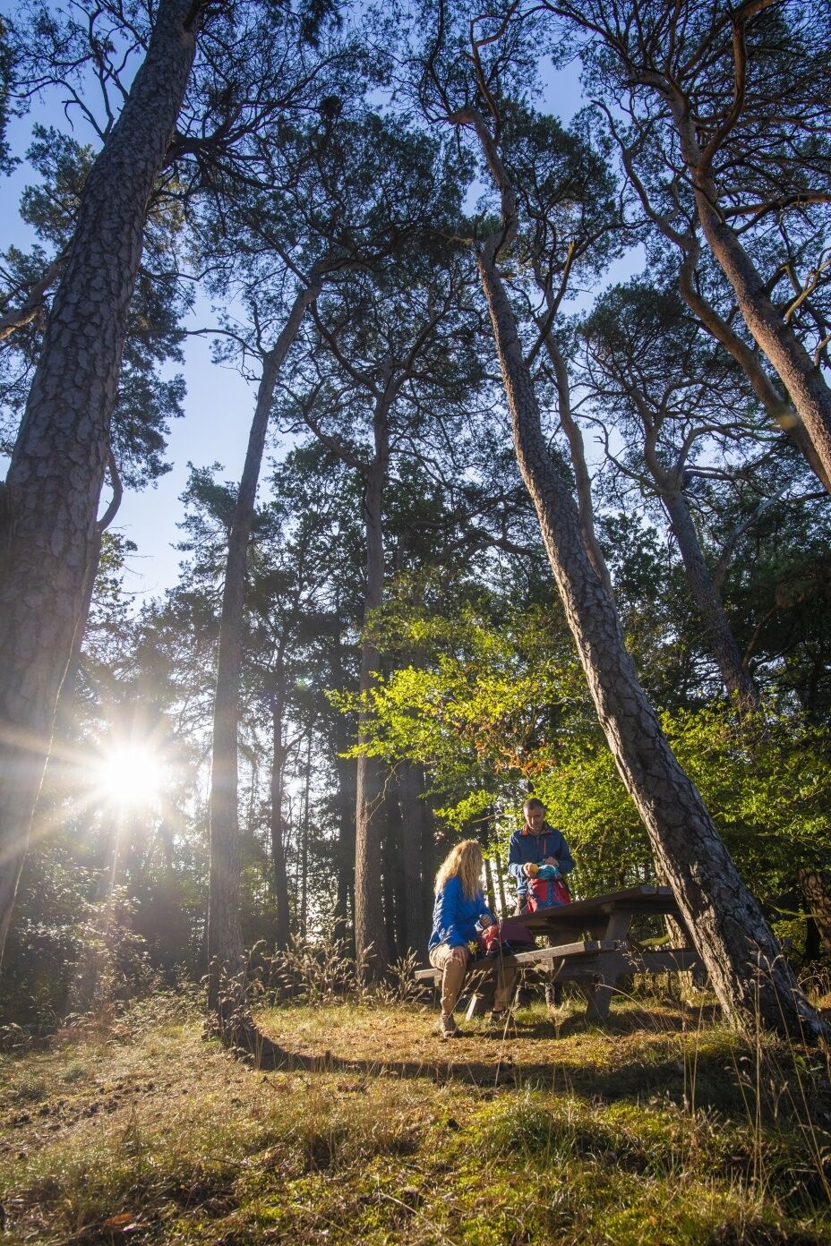
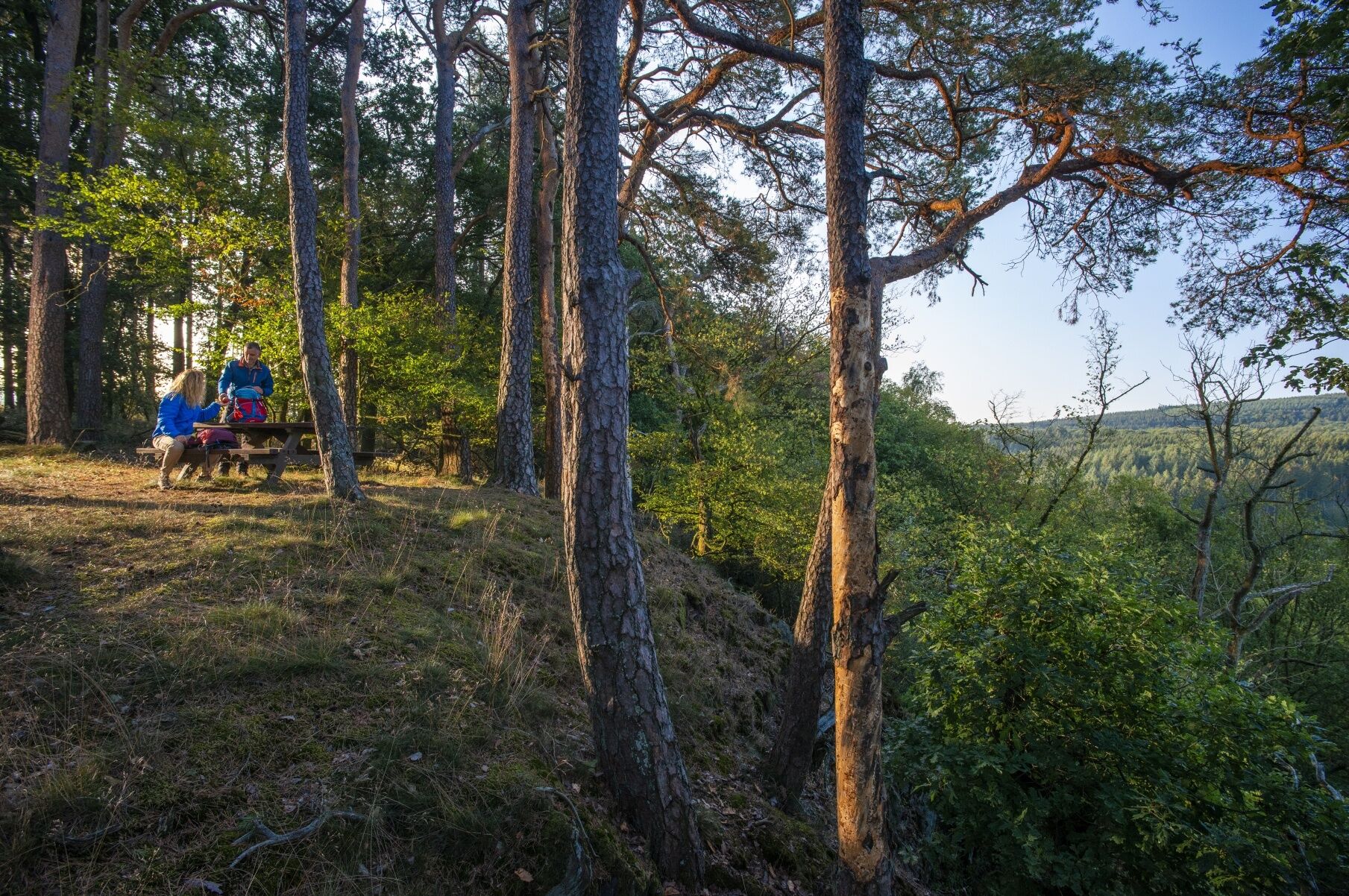
Hiking is the perfect sport. With the right clothing and shoes, it is twice as much fun. Functional clothing, poles, and breathable backpacks are comfortable while hiking. But good shoes are indispensable. Robust jogging or casual shoes are only suitable for short distances on flat paths. For longer routes, we recommend sturdy hiking boots with grippy, non-slip soles. Also think of sun protection and bring a drink. One liter of water is ideal.
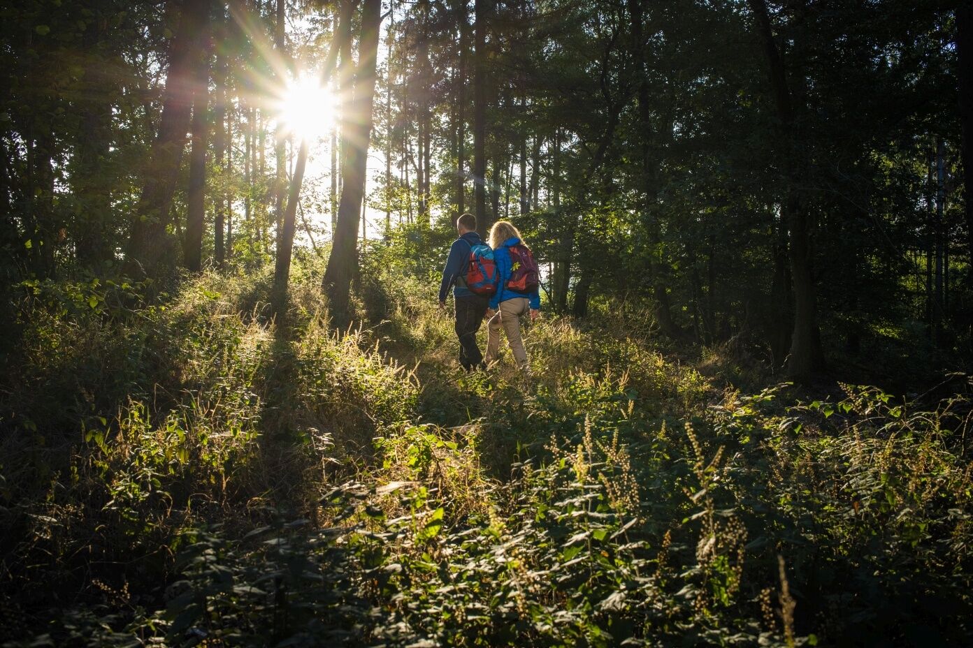
The dream loops partly have steep, difficult, and slippery sections when rainy or winter weather. Therefore, hiking boots, surefootedness, and good fitness are absolute prerequisites for hiking these premium circular trails.
A61, exit Rheinböllen, B50 direction Simmern, follow B50, exit "Hochscheid", follow signs to Horbruch approx. 2 km
Parking lot at the community center Horbruch (Hochscheider Straße 7), 55483 Horbruch
Parking lot at the cemetery, 55483 Krummenau
Parking lot at the "Wahler Mühle", Wahler Mühle 1, 55491 Wahlenau
Tourist information in EdelSteinland:
Office Herrstein
Brühlstr. 16
55756 Herrstein
Phone +49 6785 - 79 1400
Fax +49 6785 - 798 1400
info@edelsteinland.de
Office Idar-Oberstein
Hauptstr. 419
55743 Idar-Oberstein
Phone +49 6781 - 64 6040
Fax +49 6781 - 64 9514
info@edelsteinland.de
www.edelsteinland.de
Popularne wycieczki w okolicy
- 4,6
Dream Loop "Köhlerpfad am Steinbach"
średniWędrówka 13,4 km - 4,3
Dream loop "Medieval Path"
średniWędrówka 8,46 km - 4,0
Moselsteig side route Leiermannspfad
średniWędrówka 10,9 km - 5,0
Moselsteig stage 13: Traben-Trarbach – Reil
średnidługodystansowy szlak pieszy 15,3 km - 5,0
Traben-Trarbach - Bernkastel en terug
średniWędrówka 17,2 km Moselsteig detour Moseltalschanzen
ciężkiWędrówka 16,2 km- 5,0
Moselsteig detour Kirchspiel's Tälertour
średniWędrówka 13,1 km - 4,0
Dream Loop "STUMM Ironworks Route"
średniWędrówka 15,5 km Moselsteig diversion Bernkasteler Bärensteig
średniWędrówka 6,49 kmDream loop "STUMM-Orgel-Weg"
średniWędrówka 13,8 km
Wędrówki i tropienie


Nie przegap ofert i inspiracji na następne wakacje
Twój adres e-mail została dodana do listy mailingowej.