


Forest walk: Weisenheim am Berg - Circular trail 3
This circular route, also called the Partnership hiking trail, connects the Mandeltal hiking car park with the Ungeheuersee natural monument. It passes all rest areas dedicated to the partner communities...
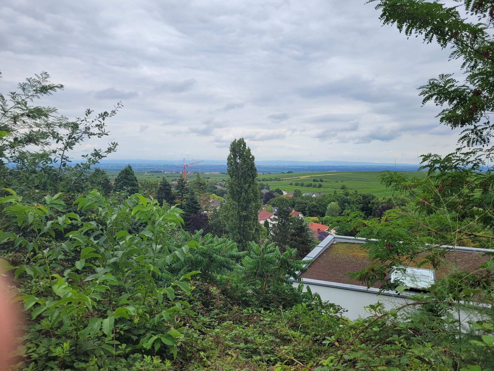
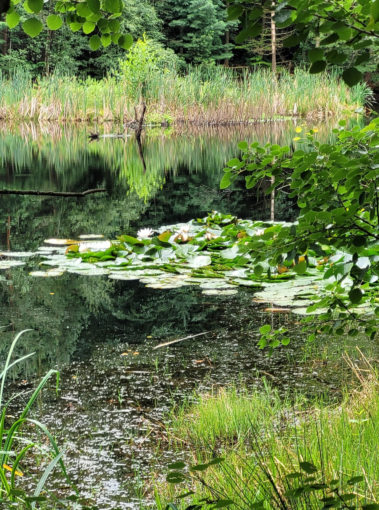
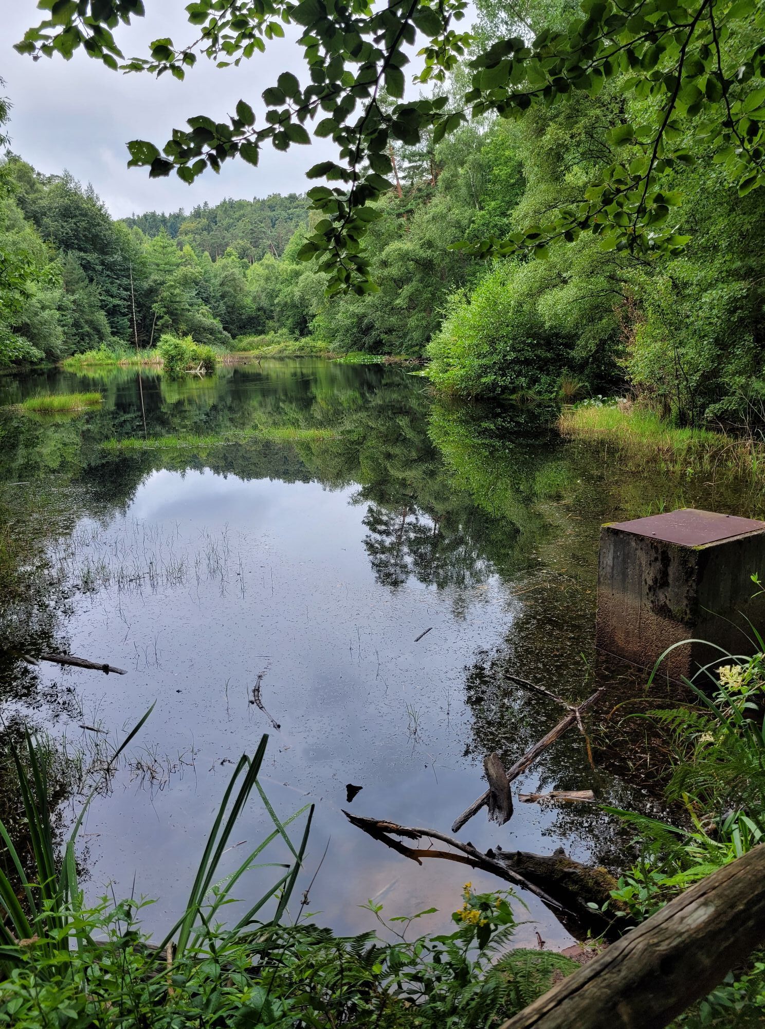
This circular route, also called the Partnership hiking trail, connects the Mandeltal hiking car park with the Ungeheuersee natural monument. It passes all rest areas dedicated to the partner communities of Weisenheim am Berg. The path leads around the Ungeheuersee, which with its nature trail provides interesting information about the special fauna and flora here.

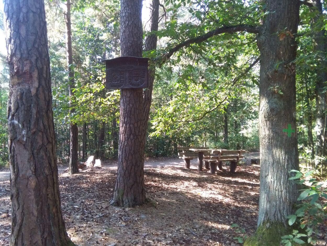
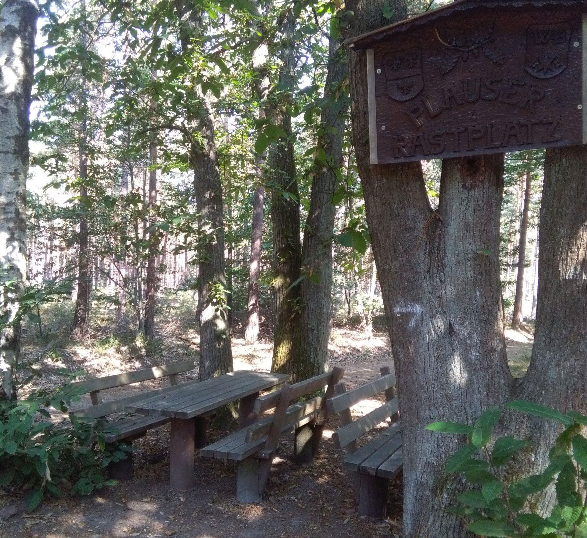
From the Mandeltal hiking car park, the path initially follows the same route as circular trails "2" and "4" back toward the village, past the school, and then immediately right in a sharp hairpin turn into the forest. The path bends to the left, and then you turn left again heading south, circling the edge of the village through the forest. After a right turn, the path runs a short distance together with the Green Cross hiking trail and also reconnects with circular trail "4." Above the Eiertal, circular trail 3 then independently heads west to the Plauser rest area and from there continues over the Kühberg further south, where it soon meets the Green Cross and circular trail 4 again. After circling the Ungeheuersee (with a place to eat!), the route returns via the Burgunderrastplatz following the Bänkeltour (marked: grandfather with grandson) back over the Langentaler Hang into Weisenheim am Berg. From there, it continues via "Am Kirschberg" and "Im Eiertal" to Haalbergstraße and back to the Mandeltal car park.
The first three kilometers ascend slightly, then continue for three kilometers without significant inclines. From kilometer 6 onward, the path moderately descends again.
Tak
Please pay attention to weather-appropriate clothing and good footwear.
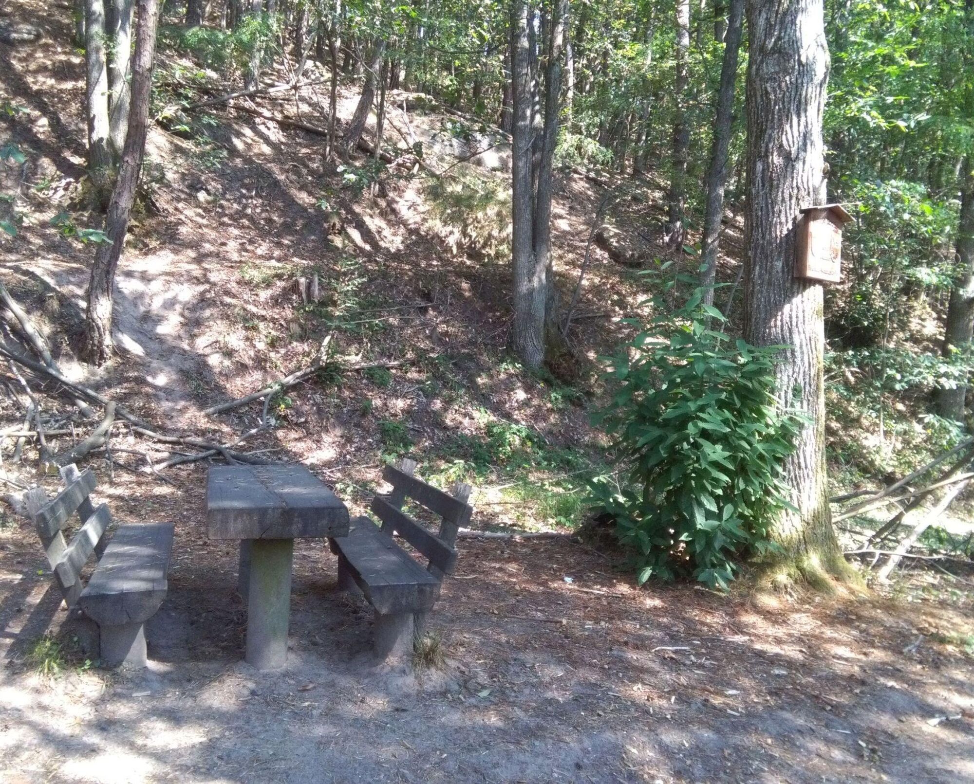
The path mainly runs on forest soil. Watch out for roots, rocks, and stones to avoid losing your footing. After rainy days and especially in spring, autumn, and winter, the paths can be wet and slippery.
From the north:
take the A6 motorway and leave at the Grünstadt/Dt. Weinstraße exit towards Bad Dürkheim/Neustadt, take the Weisenheim am Berg exit from the B271 (Dt. Weinstraße), and at the entrance to Weisenheim am Berg, turn right onto the bypass road almost to the end of the village. At the curve turn left into the village and then immediately right into Neumayerstraße. At the end of the road turn right onto Haalbergstraße to the hiking car park.
From the south:
take the A61 motorway at the Ludwigshafen interchange onto A650 towards Bad Dürkheim. Continue at the end of the motorway on B37. Pass the Bruch industrial area, turn right at the next traffic light towards Ungstein. At the roundabout take the 3rd exit into the village. After about 50 m turn right onto B271 (Dt. Weinstraße) towards Grünstadt. At the traffic lights in Herxheim am Berg, turn left towards Weisenheim am Berg. At the entrance to Weisenheim am Berg, turn right onto the bypass road almost to the end of the village. At the curve turn left into the village and then immediately right into Neumayerstraße. At the end of the road turn right onto Haalbergstraße to the hiking car park.
Bus line 453 from the direction of Bad Dürkheim or Grünstadt, stop Bobenheimer Straße
timetable information www.vrn.de
From the stop, walk up Neumayerstraße and reach Haalbergstraße at the school. About 300 meters to the right at the end of the road is the Mandeltal hiking car park.
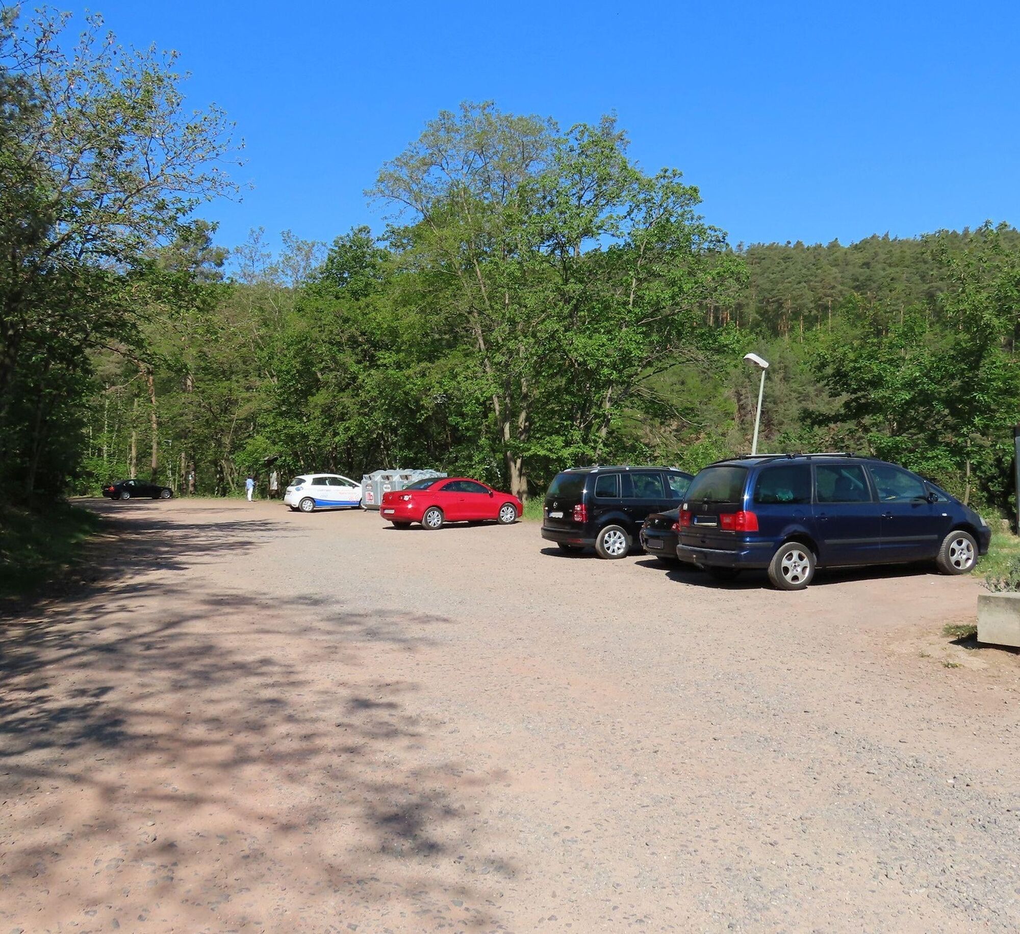
Mandeltal hiking car park
For more information on route tips, Weisenheim am Berg, and the Freinsheim holiday region, visit the Tourist Information i-Punkt Kallstadt, Tel: 06322/667838 or at www.urlaubsregion-freinsheim.de.
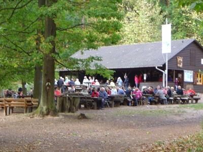
Weisenheimer Hütte refreshment opportunity at Ungeheuersee.
Mid-March to the end of October on Sundays and holidays from 10 am to 6 pm
From mid-May to the end of October also open on Wednesdays from 12 pm to 5 pm
Additionally, the large gastronomy offer in Weisenheim am Berg is available to you.
Popularne wycieczki w okolicy
-
4,0
Ganerbenweg - Premium circular hiking route in the Freinsheim holiday region
średniWędrówka 10,5 km -
4,5
From Deidesheim over the Heidenlöcher to Eckkopf
średniWędrówka 14,6 km -
Wachenheim - Eckkopf - Heidenlöcher - Wachenheim
średniWędrówka 12,8 km -
5,0
Wachenheimer Valleys Route to Oppauer Haus
średniWędrówka 11,7 km -
5,0
Circular route through forest and vineyard: Weisenheim am Berg - "Wine, Forest, Ungeheuer"
średniWędrówka 12,5 km -
4,8
Zum Saupferch - Jägerthal - Drachenfels - Lambertskreuz
średniWędrówka 10,1 km -
5,0
Leininger Castle Trail - Premium hiking trail with audio and video stations
ciężkiWędrówka 22,3 km -
4,0
Thomas‘ Waldweinstube über die Wachtenburg
światłoWędrówka 4,81 km -
3,5
Leininger Monastery Trail - Premium hiking trail with audio and video stations
średniWędrówka 15,3 km -
4,3
Zwei-Burgen Tour Battenberg
średniWędrówka 5,43 km
Wędrówki i tropienie


Nie przegap ofert i inspiracji na następne wakacje
Twój adres e-mail została dodana do listy mailingowej.