







Forest hike: Weisenheim am Berg - Round route 4

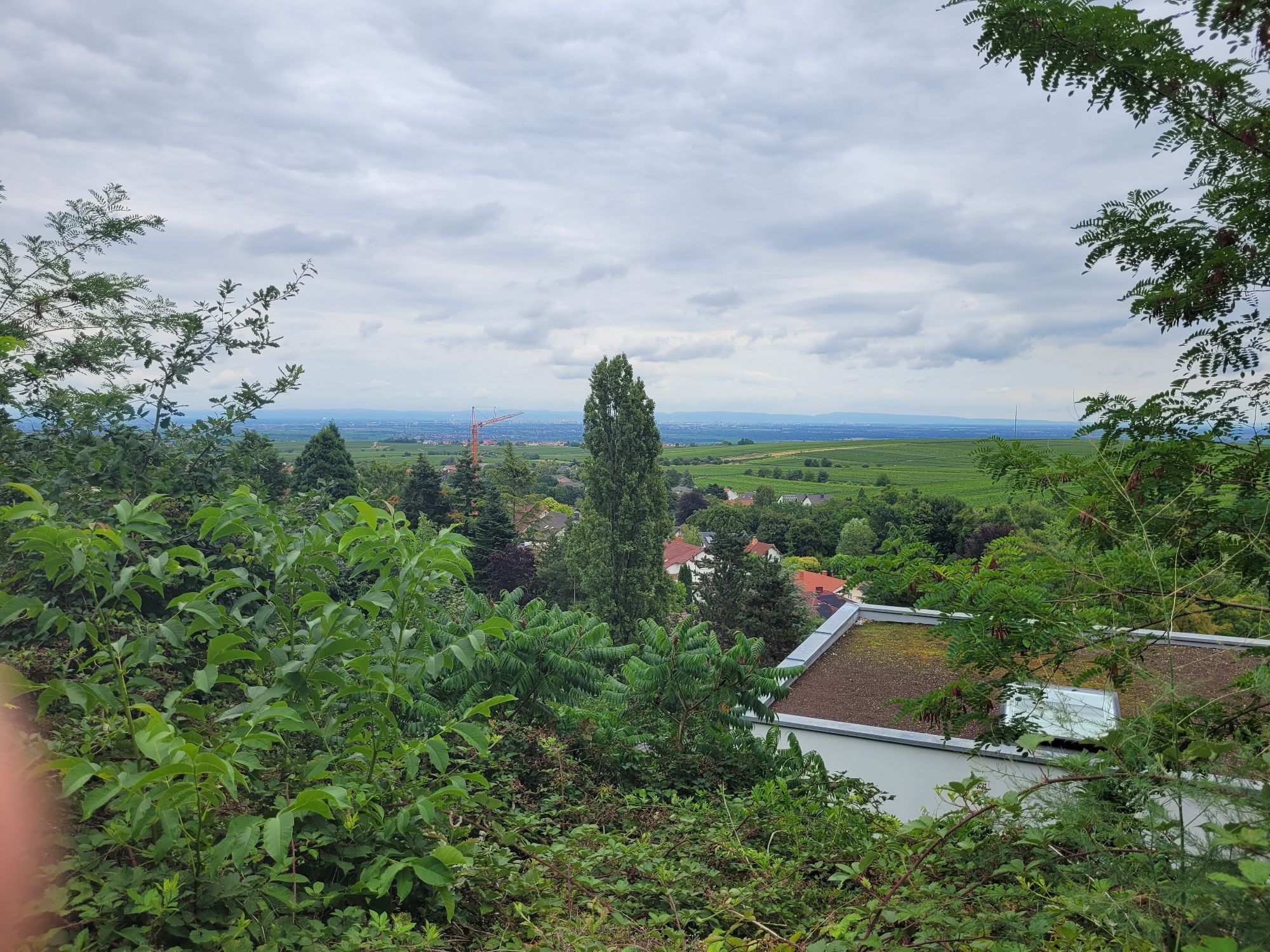
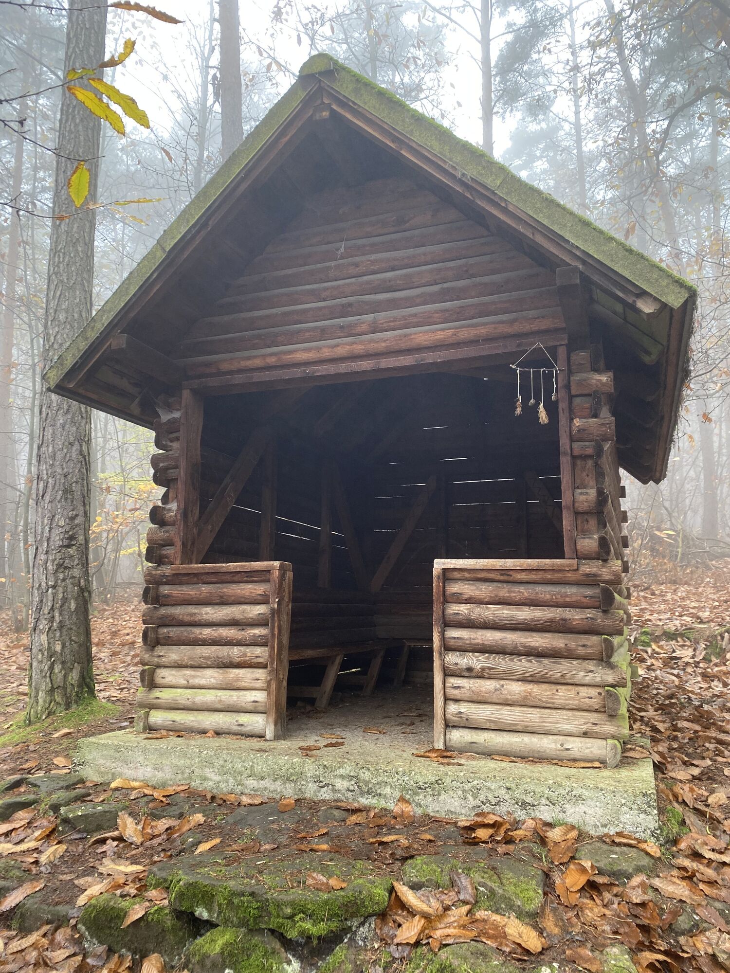
A varied, longer route with some ascents and descents. About 25% path sections, the rest comfortable or wider forest paths. From the Burgunder rest area, it's just a few meters to the natural monument...
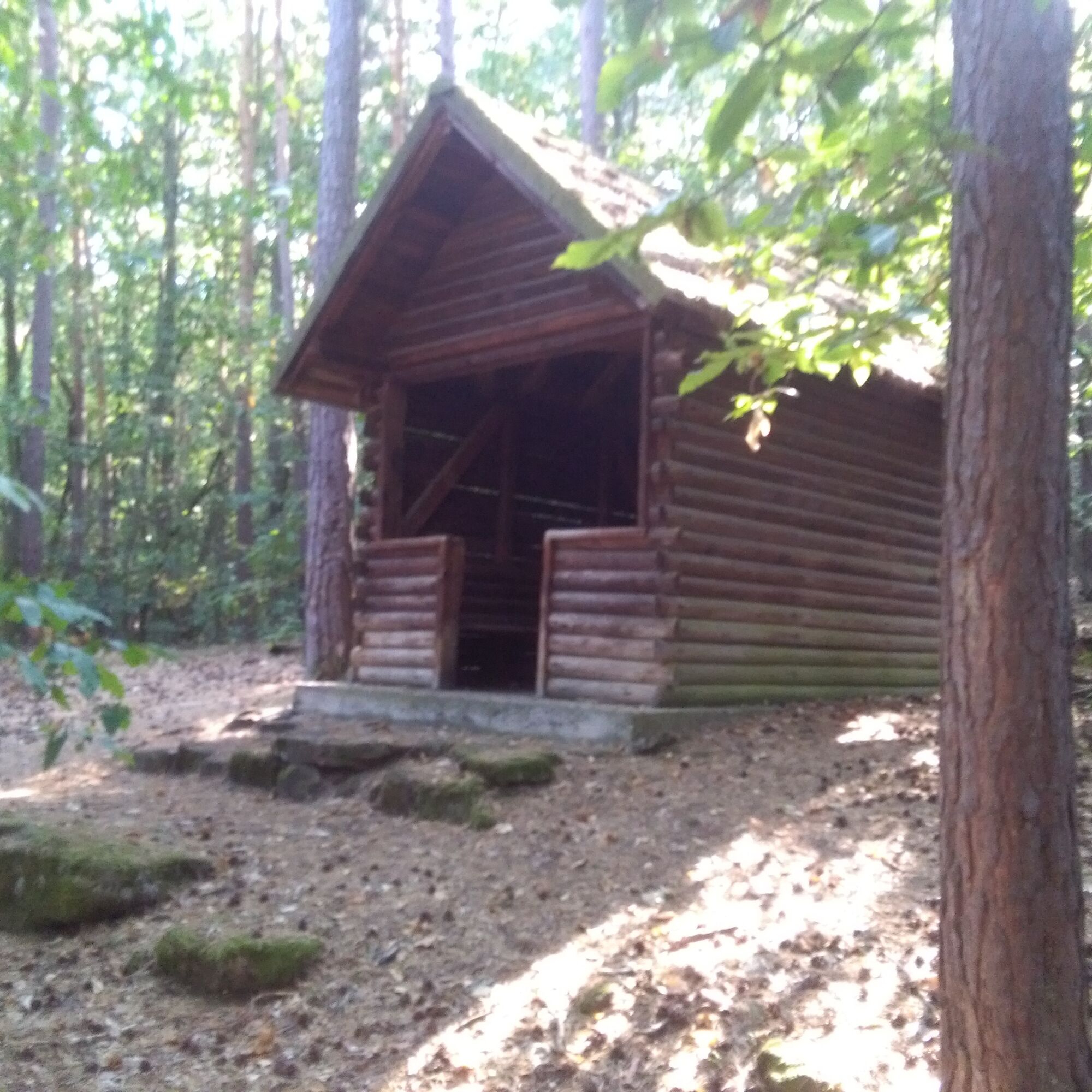
A varied, longer route with some ascents and descents. About 25% path sections, the rest comfortable or wider forest paths. From the Burgunder rest area, it's just a few meters to the natural monument Ungeheuersee with the Weisenheim Hut.

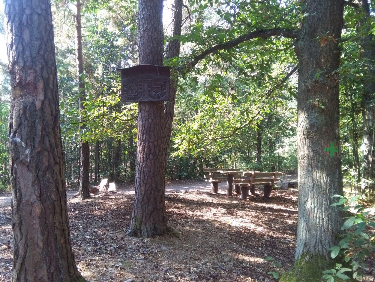

The local group Weisenheim am Berg of the Palatinate Forest Association marks the path with a "4" on trees along the trail.
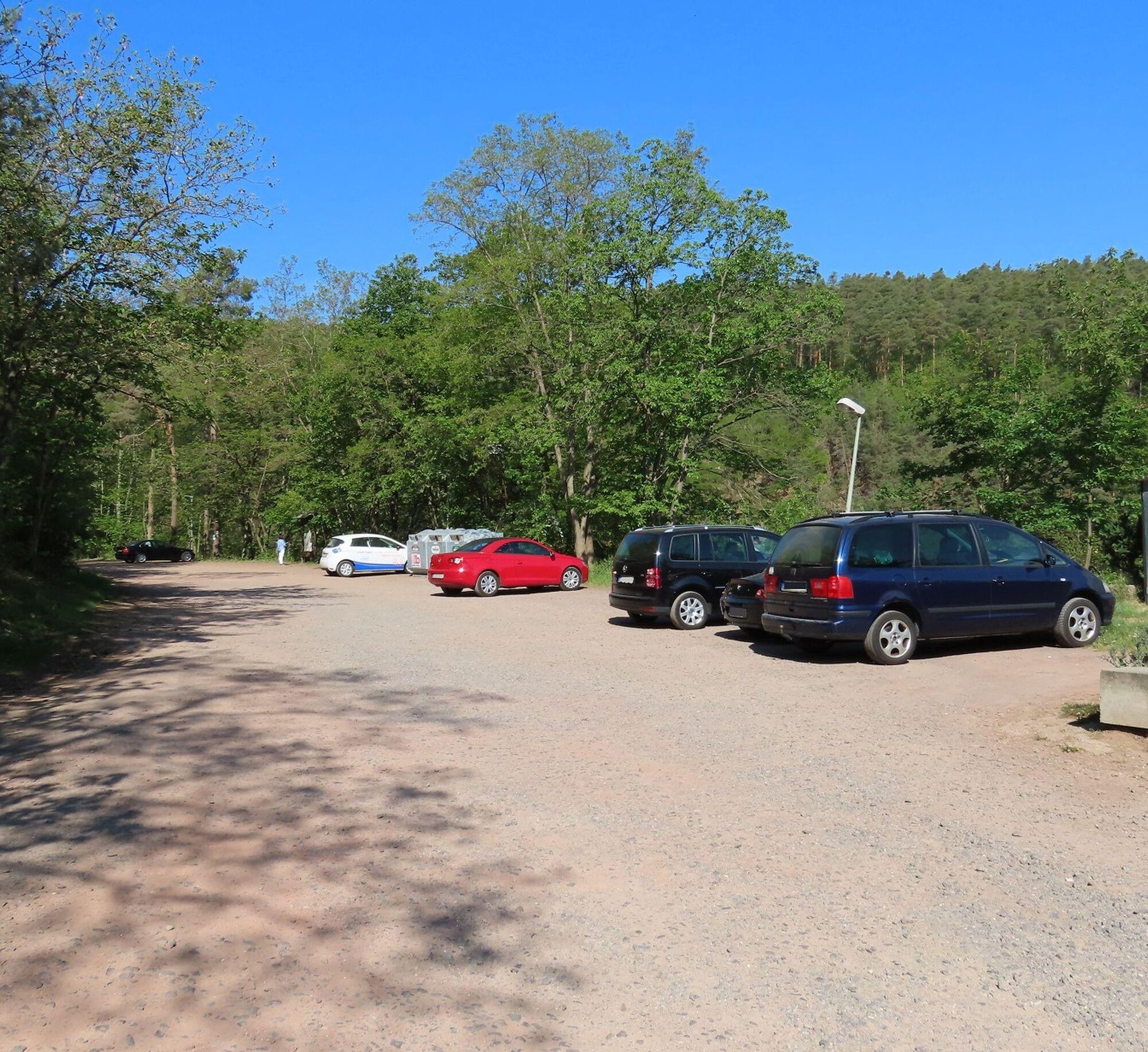
From the Mandeltal hiking parking lot, first head back toward the village, past the school, and immediately after the school take a sharp right in a hairpin turn into the forest. The path bends to the left and then you immediately go left again heading south (coinciding with Weisenheim paths 2 and 3). When these turn right, continue straight and after a few meters you reach the Green Cross hiking trail, which runs concurrent for a short distance. When the Green Cross turns left, go right and after a few meters left towards the south. After about 400 meters turn right and continue straight ahead. The path soon coincides again with the Bänkeltour (marked Grandpa with Grandchild) and leads to the Burgunder rest area (from here a detour to the Ungeheuersee is recommended). From the Burgunder rest area the trail 4 heads north, again concurrent with the Green Cross trail. At a crossroads the Green Cross continues straight, but you turn left following the "4" marking. The hiking trail now runs concurrent with trail 2 until the end, first going north. At the junction with trail 1 turn right and reach the Hessenkeller cabin. From here it's just a few meters back to the starting point at the Mandeltal parking lot.
Tak
Please wear weather-appropriate clothing and good footwear.
The path runs mostly on forest ground. Watch out for roots, rocks and stones to avoid tripping. After rainy days and especially in spring, autumn and winter the paths can be wet and slippery.
From the north:
Via the A61 motorway at the Frankenthal junction onto the A6 towards Kaiserslautern. Exit Grünstadt/Deutsche Weinstraße. Continue on B271 (German Wine Road) towards Bad Dürkheim, take the exit Weisenheim am Berg and upon entering Weisenheim am Berg turn right onto the bypass road almost to the edge of town. At the curve turn left into town and immediately right into Neumayerstraße. At the end of the street turn right into Haalbergstraße to the hiking parking lot.
From the south:
Via the A61 motorway at Ludwigshafen junction onto the A650 towards Bad Dürkheim. At the end of the motorway continue on B37. Pass the Bruch industrial area, at the next traffic light turn right to Ungstein. At the roundabout take the 3rd exit into town. After about 50 meters turn right on B271 (German Wine Road) towards Grünstadt. At the traffic lights in Herxheim am Berg turn left towards Weisenheim am Berg. At the entrance to Weisenheim am Berg turn right onto the bypass road almost to the edge of town. At the curve turn left into town and immediately right into Neumayerstraße. At the end of the street turn right into Haalbergstraße to the hiking parking lot.
VRN bus line 453 from Bad Dürkheim or Grünstadt direction, stop Bobenheimer Straße
Schedule information www.vrn.de
From the stop, walk up Neumayerstraße and reach Haalbergstraße at the school. On the right about 300 meters away is the Mandeltal hiking parking lot at the end of the street.
Mandeltal hiking parking lot
Further information on route tips, Weisenheim am Berg, and the Freinsheim holiday region is available at the Tourist Information i-Punkt Kallstadt, phone: 06322/667838 or at www.urlaubsregion-freinsheim.de.
Dining option Weisenheimer Hut at the Ungeheuersee:
Mid March to end of October Sundays and public holidays 10 am - 6 pm
November Sundays and public holidays 10 am - 5 pm
From mid May to end of October also open Wednesdays from 12 pm - 5 pm
At the end of the route the diverse Weisenheim gastronomy awaits you.

Popularne wycieczki w okolicy
-
4,0
Ganerbenweg - Premium circular hiking route in the Freinsheim holiday region
średniWędrówka 10,5 km -
4,5
From Deidesheim over the Heidenlöcher to Eckkopf
średniWędrówka 14,6 km -
4,5
Wachenheimer Valleys Route to Oppauer Haus
średniWędrówka 11,7 km -
Wachenheim - Eckkopf - Heidenlöcher - Wachenheim
średniWędrówka 12,8 km -
4,8
Zum Saupferch - Jägerthal - Drachenfels - Lambertskreuz
średniWędrówka 10,1 km -
5,0
Circular route through forest and vineyard: Weisenheim am Berg - "Wine, Forest, Ungeheuer"
średniWędrówka 12,5 km -
3,5
Thomas‘ Waldweinstube über die Wachtenburg
światłoWędrówka 4,81 km -
5,0
Leininger Castle Trail - Premium hiking trail with audio and video stations
ciężkiWędrówka 22,3 km -
3,5
Leininger Monastery Trail - Premium hiking trail with audio and video stations
średniWędrówka 15,3 km -
Palatinate Wine Steig Stage 03 Bad Dürkheim - Deidesheim
średnidługodystansowy szlak pieszy 15,2 km
Wędrówki i tropienie


Nie przegap ofert i inspiracji na następne wakacje
Twój adres e-mail została dodana do listy mailingowej.





