







Ehrbachklamm as a route hike
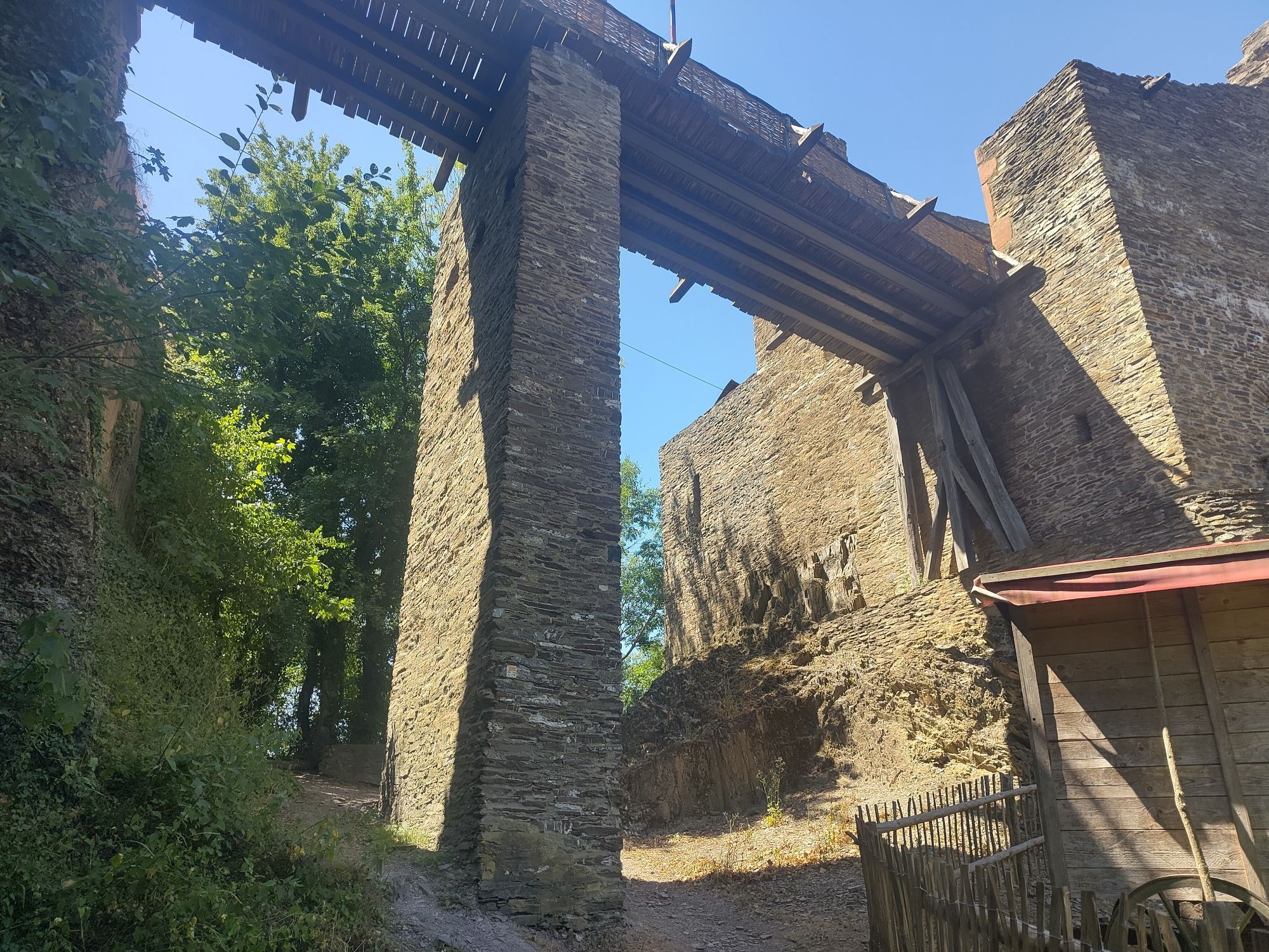
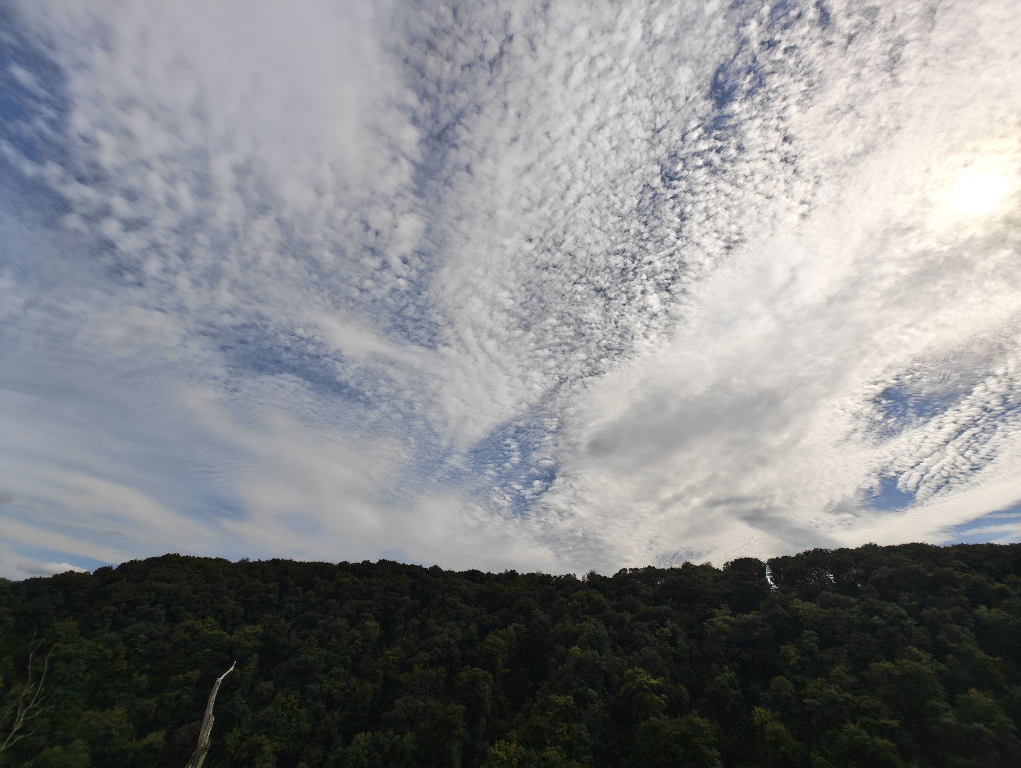
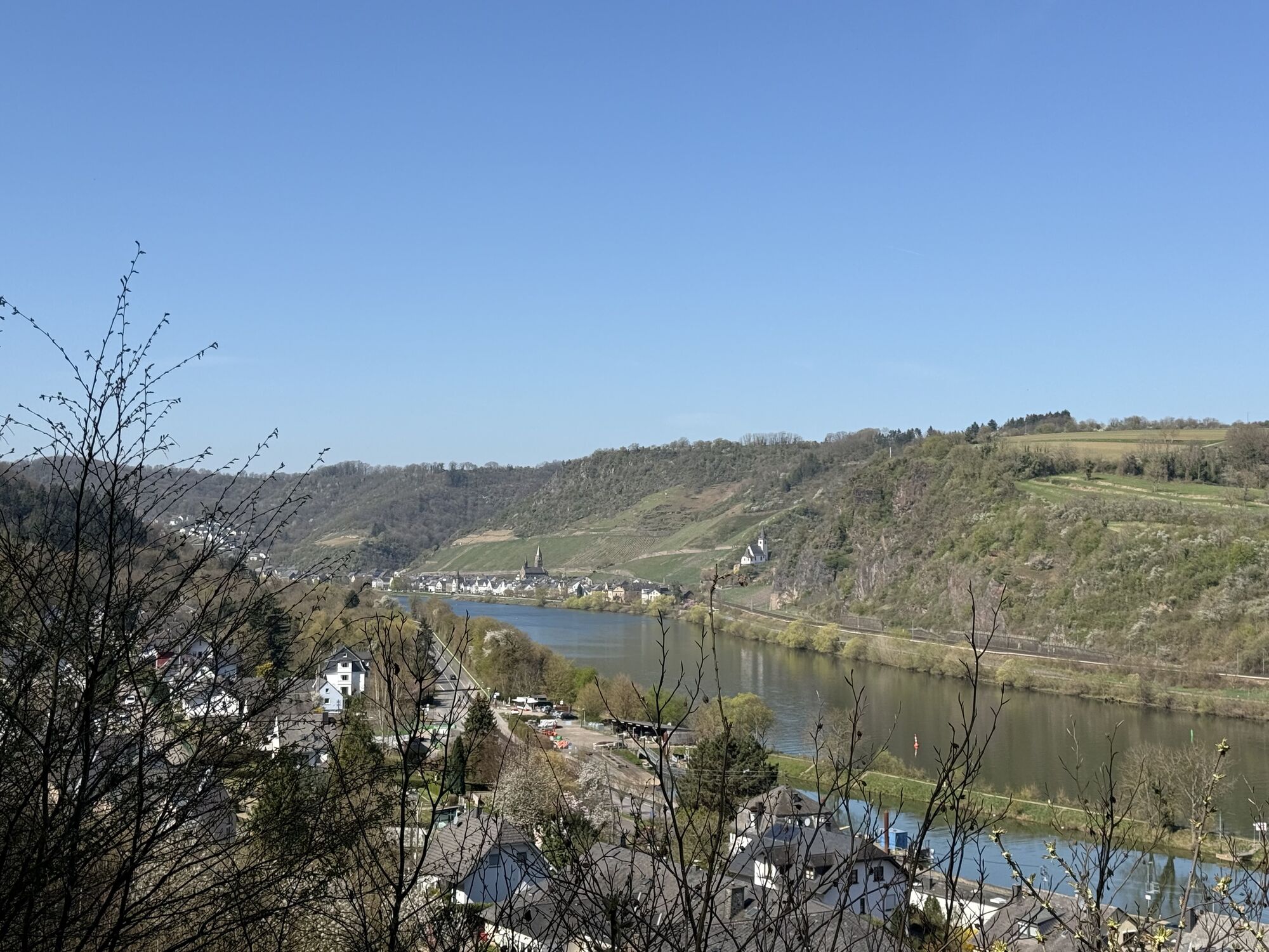

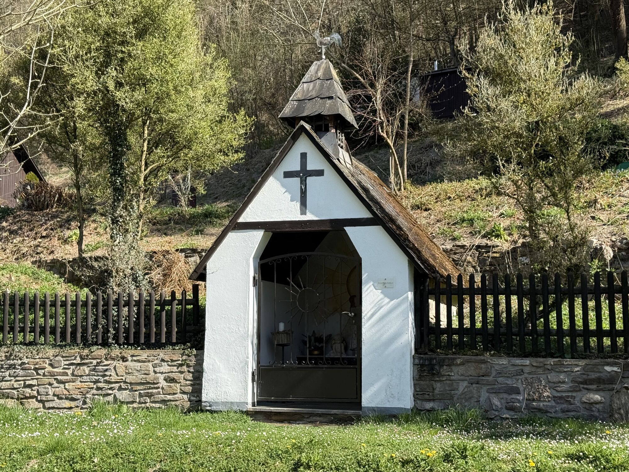
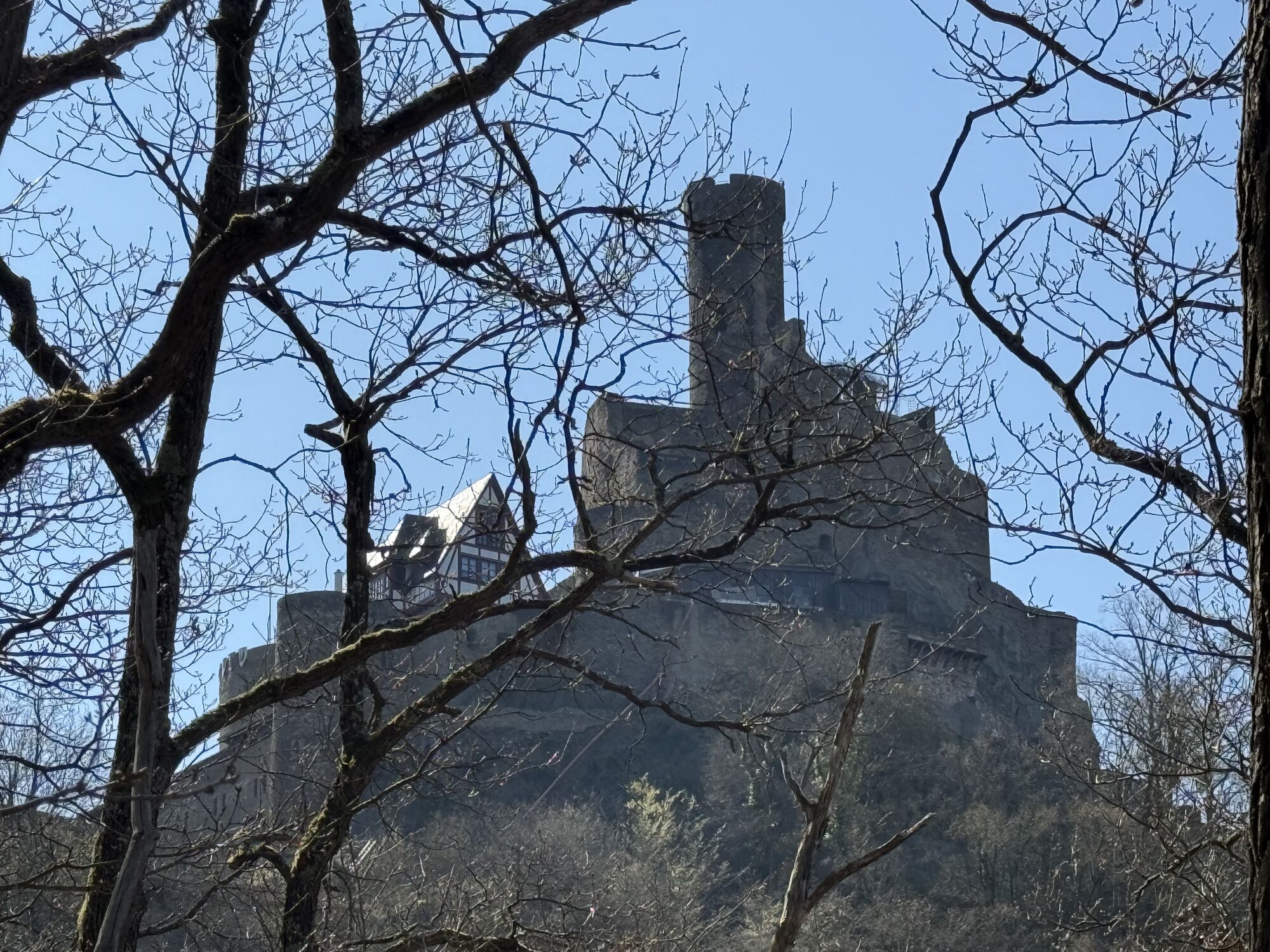
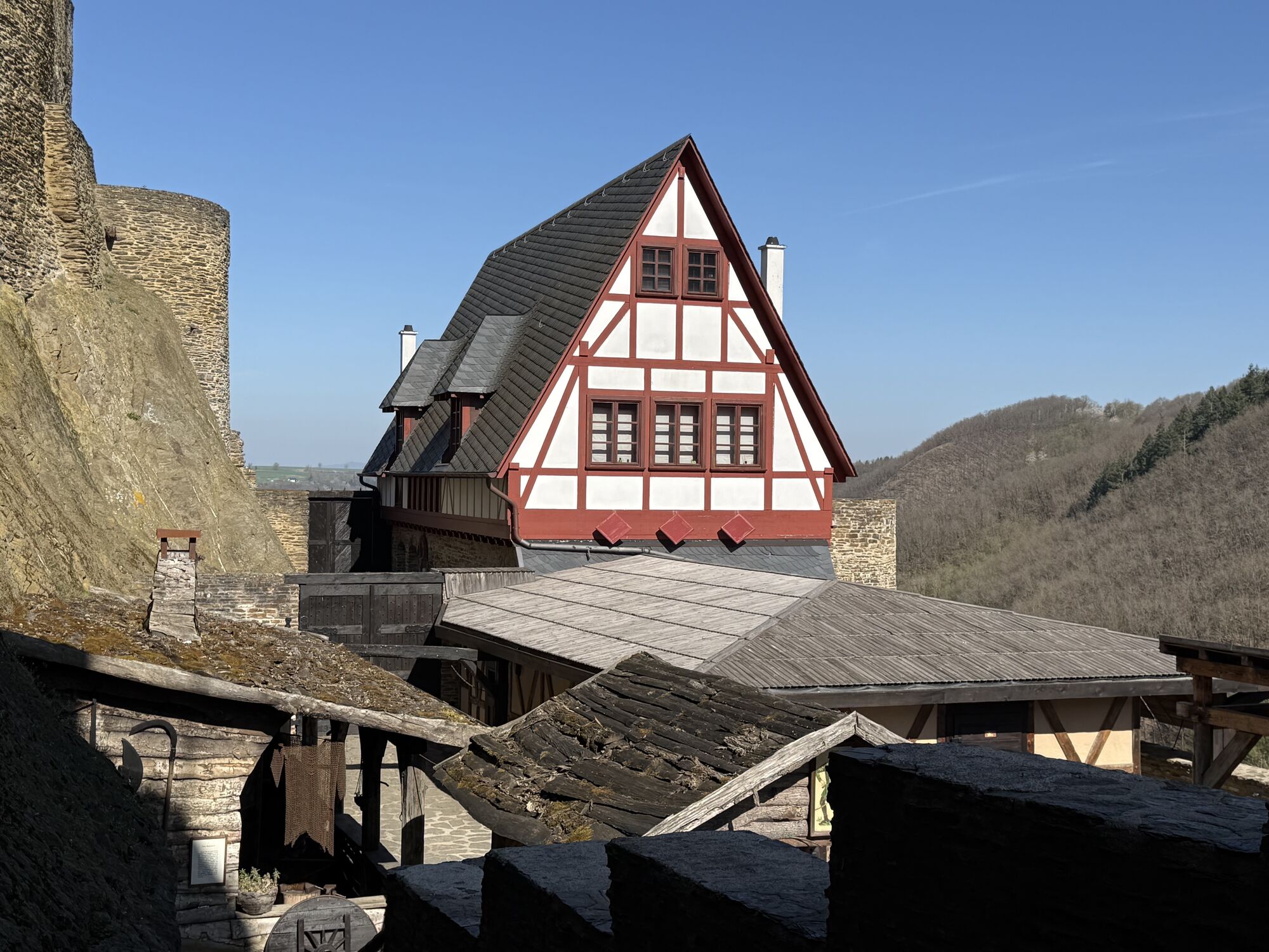
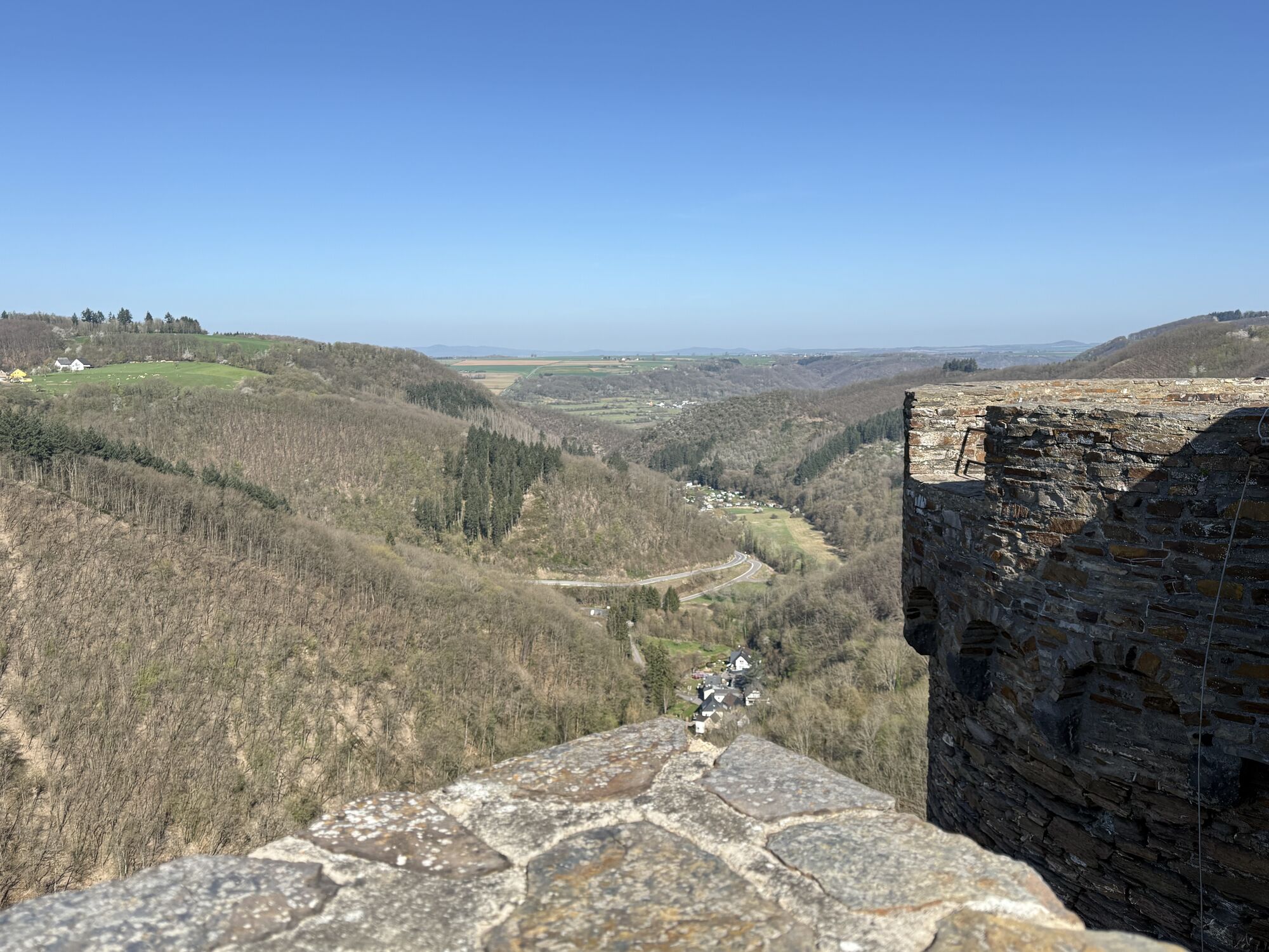
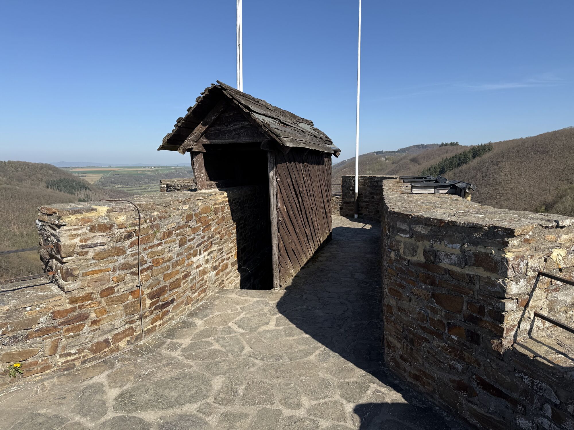
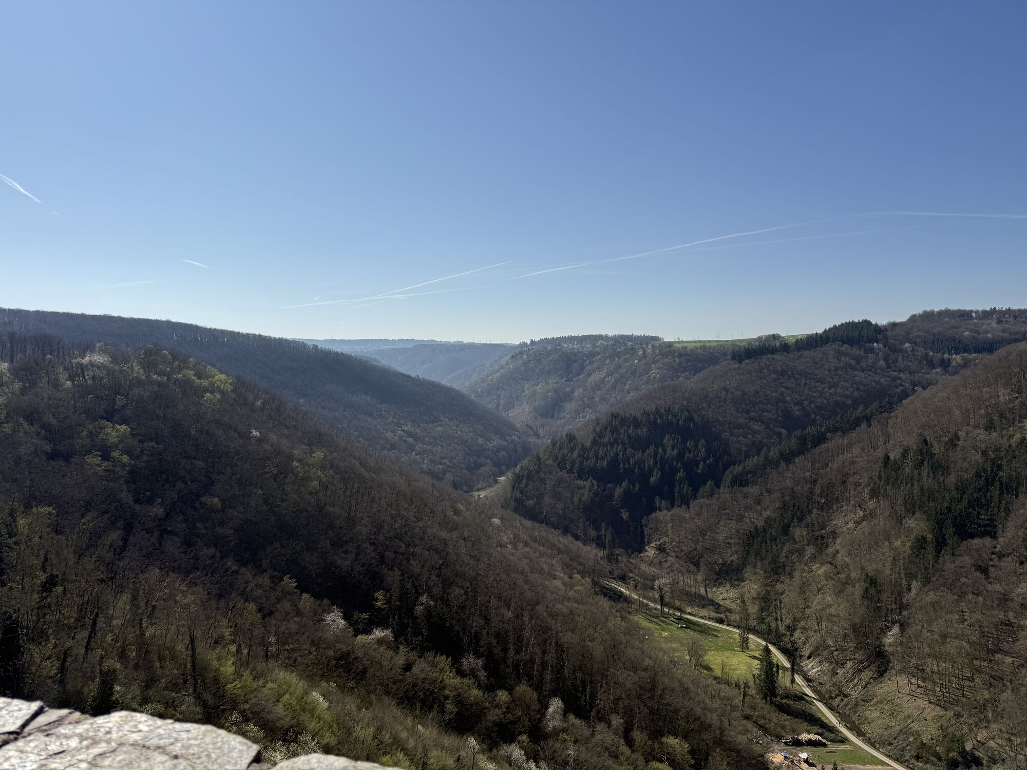
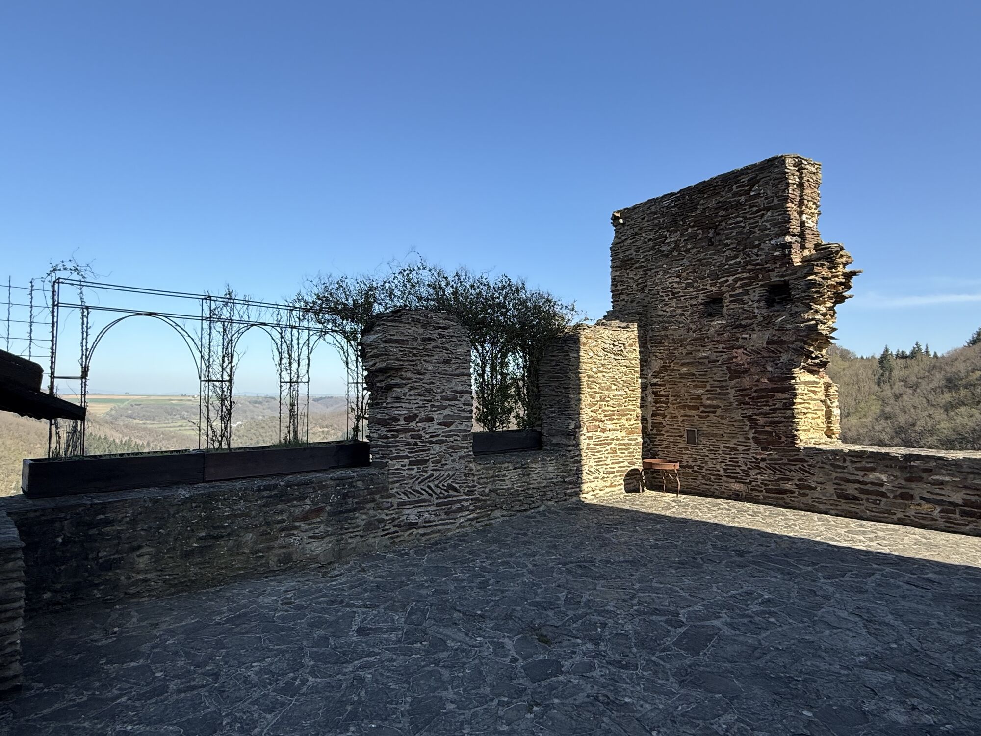
From Emmelshausen (450 m NN) the hike leads always downhill on a length of 16 km to Brodenbach/Mosel (80m NN).Starting from the center at the park, you reach the Liesenfelder Bach after a few minutes and...
From Emmelshausen (450 m NN) the hike leads always downhill on a length of 16 km to Brodenbach/Mosel (80m NN).Starting from the center at the park, you reach the Liesenfelder Bach after a few minutes and follow the hiking trail along the brook to the Baunhöllermühle (day off Wed). From here, the trail leads through the Preisbach valley via the Schönecker Stahlbrunnen with its ferruginous spring into the Ehrbach valley proper. The highlight of the hike is the Ehrbachklamm (Ehrbach Gorge) that now follows behind the Daubisbergermühle: for the duration of about an hour, a path that has been partially carved into the rock runs along the stream over several bridges, past steep slopes and boulders. Afterwards, you follow a wide hiking trail again and pass the Brandengrabenmühle. Before the hike reaches its conclusion in Brodenbach/Mosel, you can take a last rest in the Vogelsang inn.Translated with www.DeepL.com/Translator (free version)

Sturdy shoes are recommended. The gorge is not suitable for strollers.
In the gorge you should be surefooted, because there are always wet spots.
Emmelshausen can be reached via the A61 freeway and the B327 road
Return journey from Brodenbach in the direction of Emmelshausen via VRM-Info
Tourist-Info in the ZAP, Rhein-Mosel-Str. 45, 56281 Emmelshausen
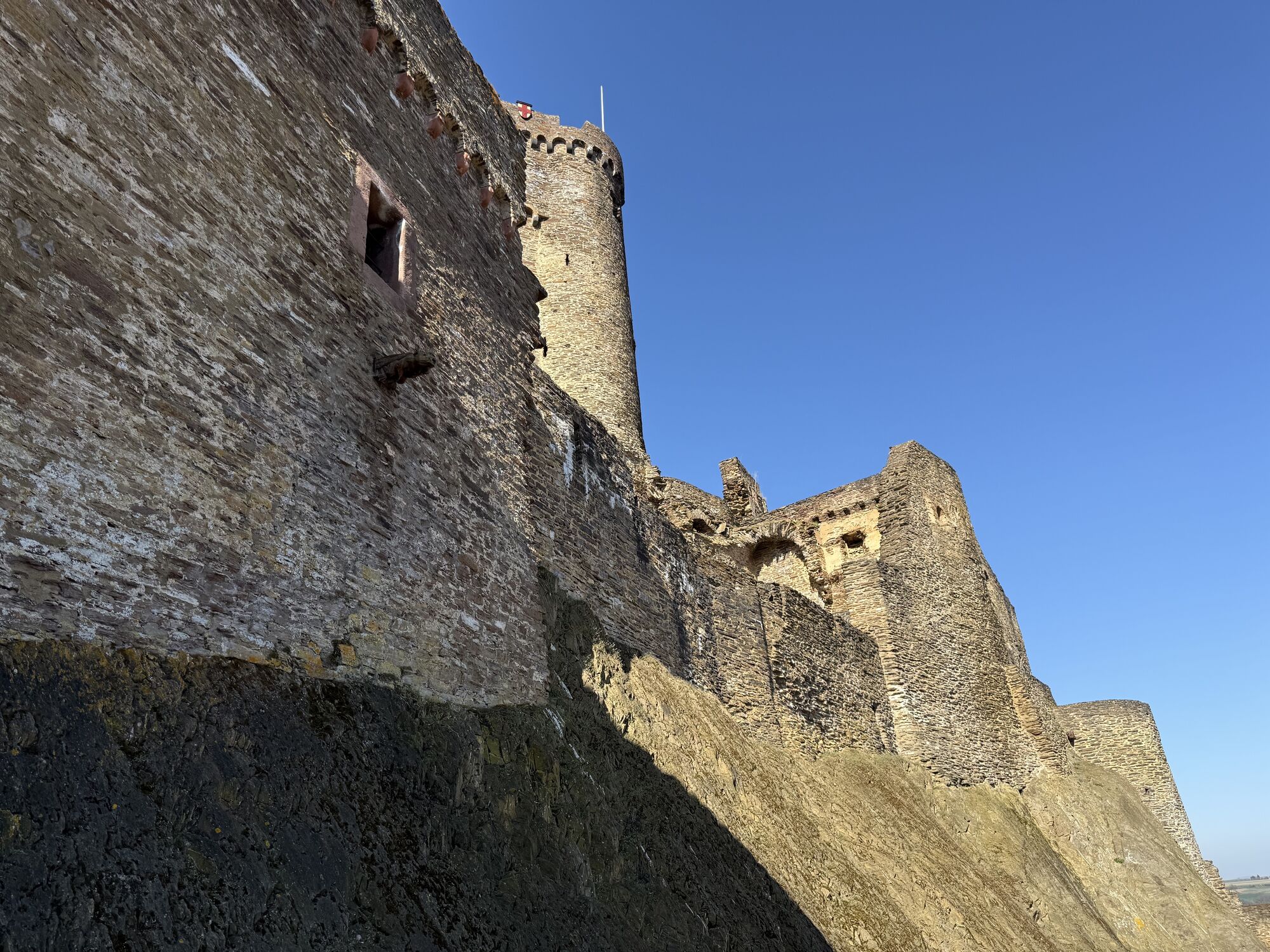
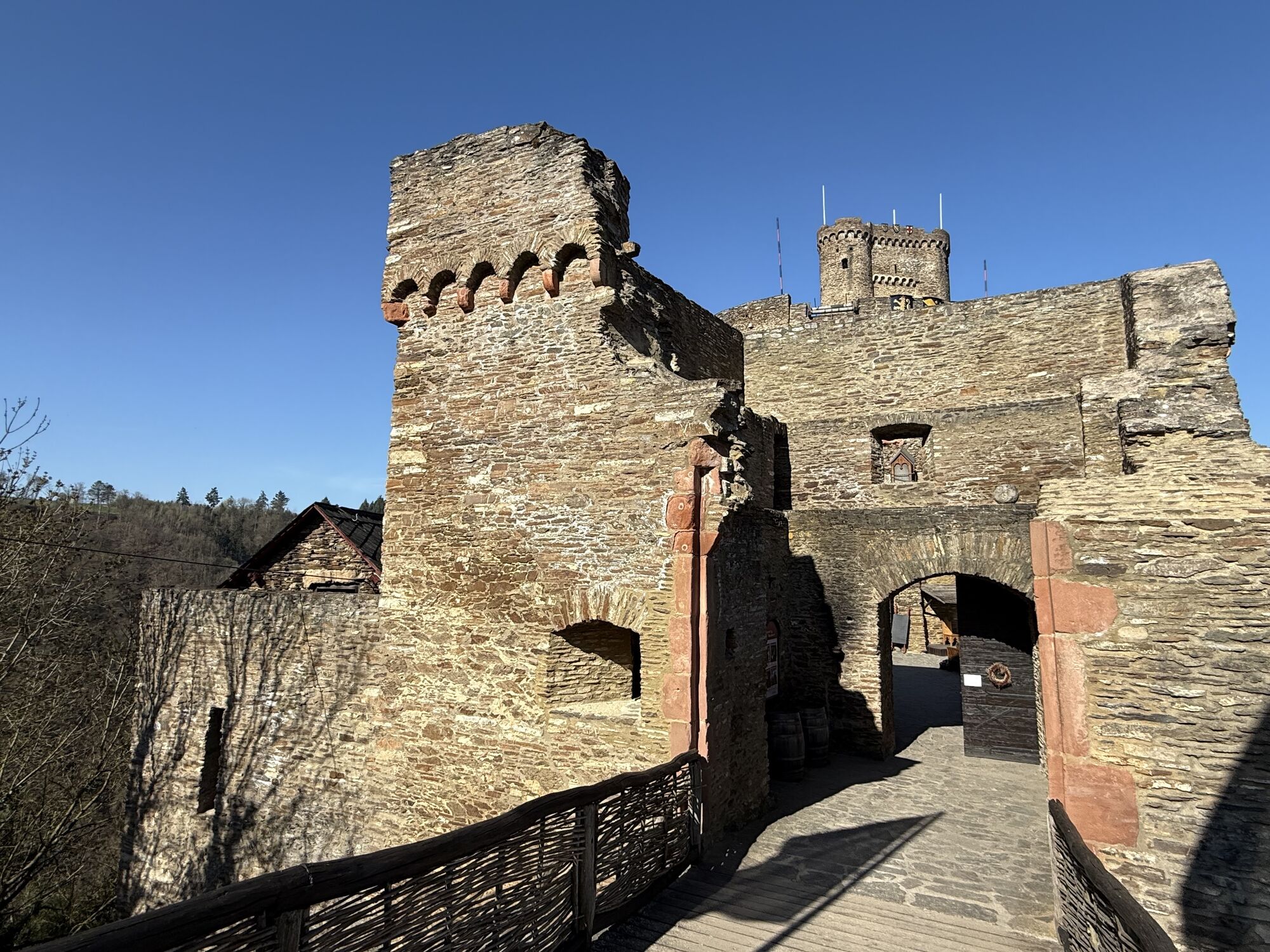
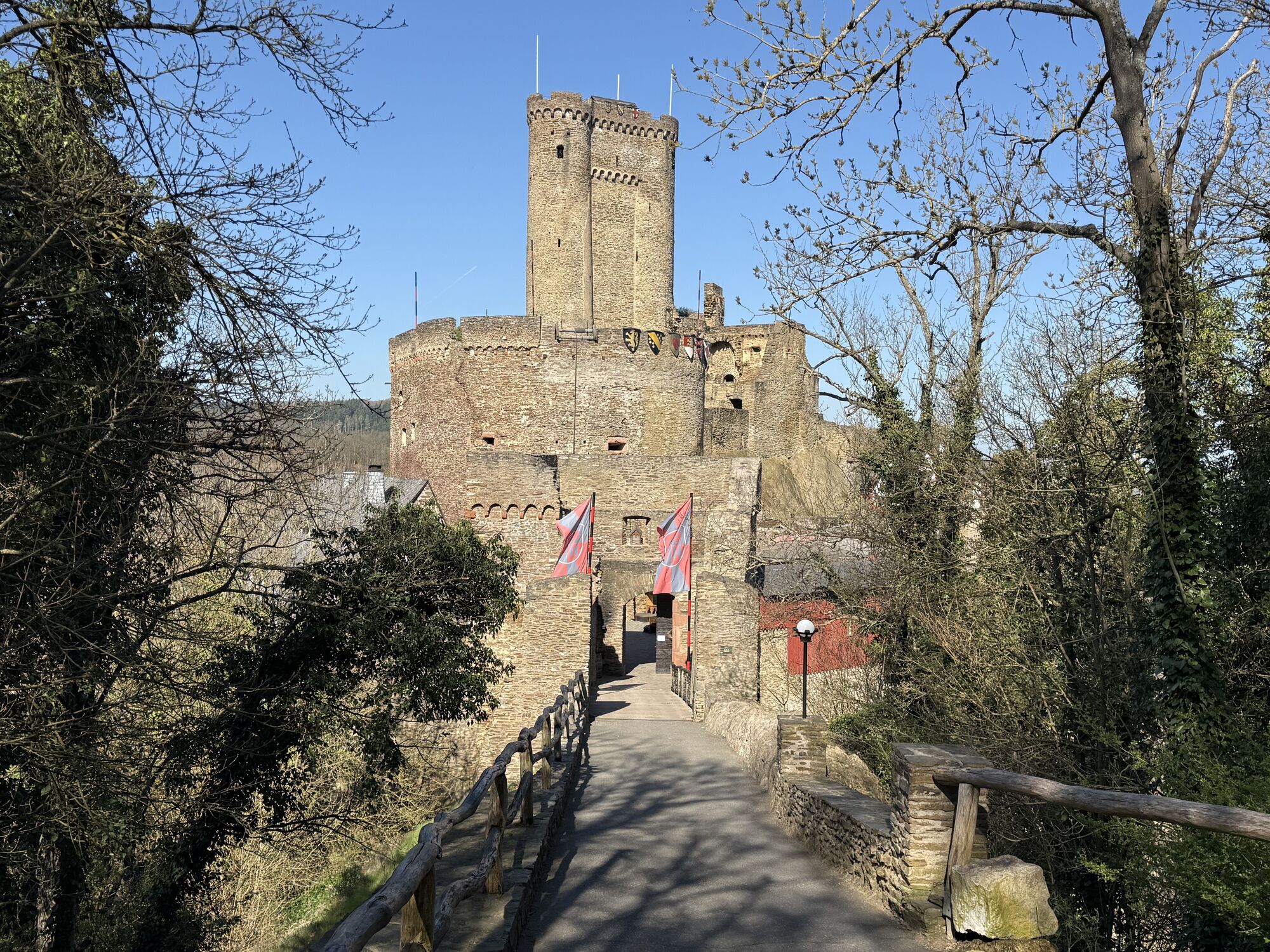
Ehrenburg Castle towers high above the Ehrbach Valley. You can "conquer" it from the Ehrenburg valley after a short climb. www.ehrenburg.de
Popularne wycieczki w okolicy
-
4,6
Traumschleife Ehrbachklamm
ciężkiWędrówka 11,0 km -
4,6
Langhalsweg Osterspai
średniWędrówka 7,50 km -
4,4
Mosel - Burg Eltz - Mosel
średniWędrówka 12,8 km -
4,4
Marienkapellchen - Wierschem - Petersköpfchen - Unterschänke
ciężkiWędrówka 12,7 km -
4,8
Murscher Eselsche Dream Loop
średniWędrówka 10,7 km -
4,7
Dommershausen - Steffenshof - Schmausemühle - Beltheim
ciężkiWędrówka 10,4 km -
4,2
Moselsteig stage 20: Treis-Karden – Moselkern
średnidługodystansowy szlak pieszy 13,6 km -
4,5
Boppard - Restaurant Cafe Vierseenblick - GedeonsEck
ciężkiWędrówka 4,99 km -
4,3
Dream loop Werlauer Pilz
światłoWędrówka 5,60 km -
Pfalzfeld - Geierlay suspension bridge
średniJazda na rowerze 28,1 km
Wędrówki i tropienie


Nie przegap ofert i inspiracji na następne wakacje
Twój adres e-mail została dodana do listy mailingowej.





