







Circuit through wine and blossoms: Freinsheim - Blütenweg
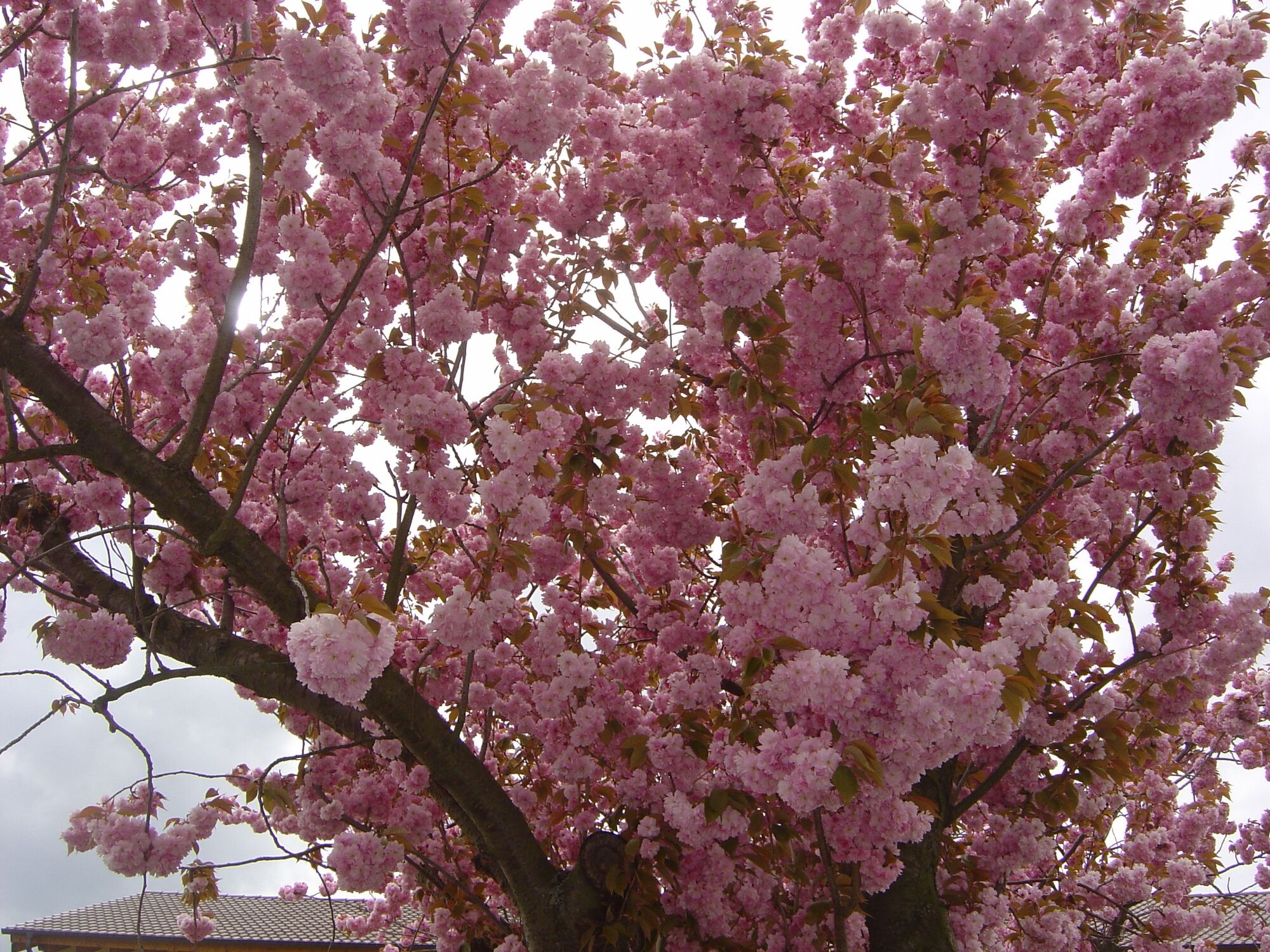
The trail is particularly worthwhile in spring, when the awakening nature transforms the landscape into a single sea of blossoms.Attention: The path is not paved throughout. The signposting of the flower...
The trail is particularly worthwhile in spring, when the awakening nature transforms the landscape into a single sea of blossoms.Attention: The path is not paved throughout. The signposting of the flower trail is done by Coreten stelae. These are not always immediately recognisable due to the patina that has built up over the years.

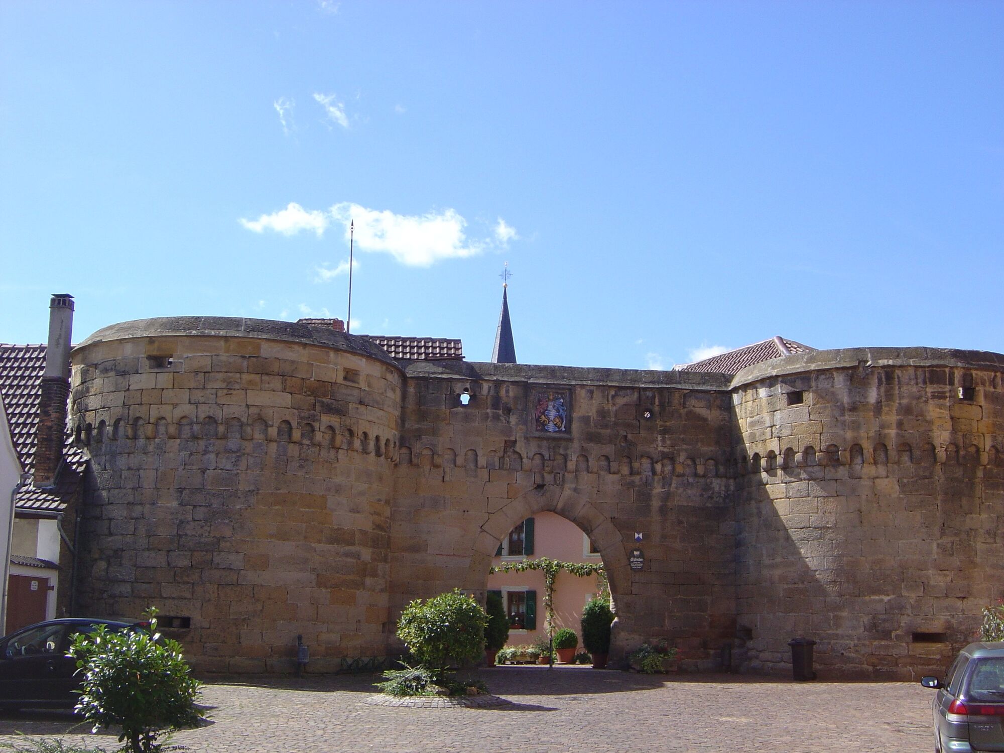
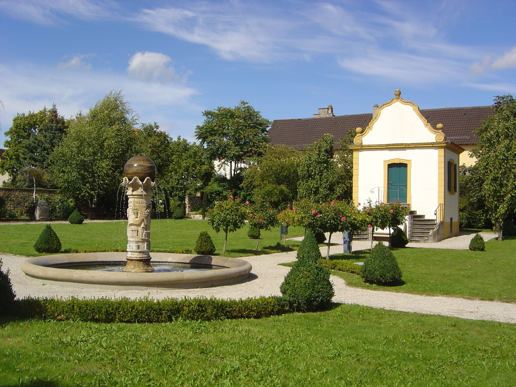
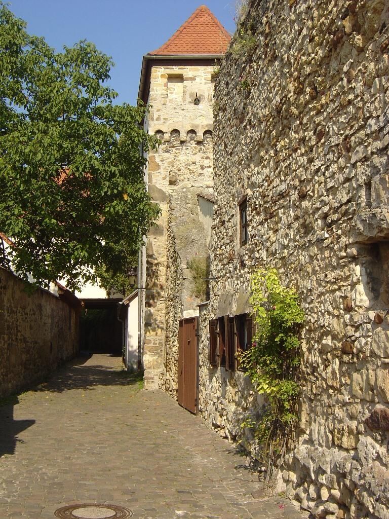
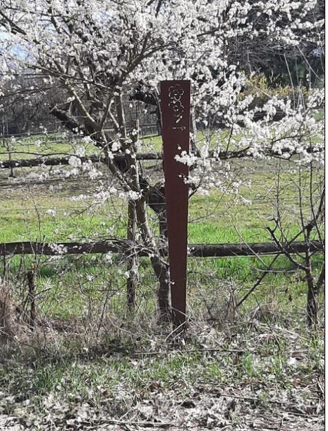
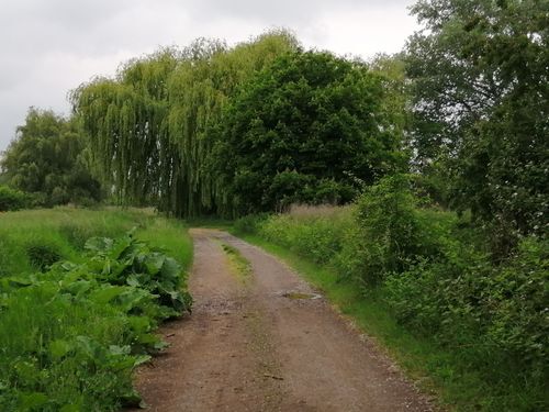

The starting point is the Freinsheim tourist information office in the historic town hall. From there, walk across the market square towards Eisentor and continue straight ahead to Großkarlbacher Straße. Turn right into Gewerbestraße and follow this until the turn-off to the left into Riedweg. After the horse farm at the end of Riedweg, continue to the right, you will pass various paddocks and continue to the gated level crossing. After crossing the railway tracks, turn left after about 100 m to continue along the Blütenwanderweg/Sandhasenweg 3 (rusted metal pillars with a sawn-out flower motif and a sticker with a hare motif as trail markers), into the Ludwigshain recreation area. After the small slope, keep left and, before the lake, turn left through the railway subway and then immediately right again. After another 200 metres, turn left, then right again after about the same distance and you will come to the Kraut- und Rübenrradweg on the left. After about 100 metres, turn right again and go straight on for another 200 metres and then turn left into Talweidengraben (no name sign). Keep straight on until you reach the asphalt cycle path. There you turn left back past the Nettomarkt. Cross Großkarlbacher Straße, walk along Weisenheimer Straße through the iron gate to the starting point, the tourist information office in the historic town hall.
Tak
Sturdy shoes and clothing suitable for the weather.
Our hiking and cycling trails often run along so-called farm tracks. These are used for agricultural purposes and are used by tractors and harvesters all year round.We would like to point out that the use of these paths is at your own risk and ask cyclists, hikers and winegrowers for mutual consideration in the interest of all. The farm roads may be soiled by agricultural traffic.
After rainy days and especially in winter, the paths can be wet and slippery.
From the north:
A6 motorway (Mannheim/Kaiserslautern, Grünstadt exit) towards Bad Dürkheim, on B271 (German Wine Route) via Herxheim am Berg to Freinsheim.
From the south:
Motorway A61 at the Ludwigshafen junction onto the A650 towards Bad Dürkheim. At the end of the extension, go straight on in the direction of Gewerbegebiet Trift/Grünstadt. At the 2nd traffic light, turn right towards Ungstein. At the roundabout, take the 1st exit towards Freinsheim.
Freinsheim railway station, regular connections from the Rhine-Neckar triangle, from the direction of Neustadt/Weinstraße and Bad Dürkheim as well as from Grünstadt.Timetable information www.vrn.de
Car park at the railway station (Am Güterbahnhof) or car park in Großkarlbacher Straße (car park is directly on the hiking trail).Walking distance to the Tourist Information i-Punkt Freinsheim in the hist. Town Hall on the market square, approx. 10 or 5 minutes on foot.
Freinsheim Holiday Region, i-Punkt Freinsheim, Tel: 06353/989294, www.urlaubsregion-freinsheim.de
After the hike, you can stop off at one of the many restaurants in the town of Freinsheim. You can also take a city tour through the historic old town and along the city wall using our interactive tour with video and audio information via smartphone. Public guided tours of the town take place every Friday at 6 p.m. and every Saturday at 11.15 a.m. from April to October.
Popularne wycieczki w okolicy
-
4,0
Ganerbenweg - Premium circular hiking route in the Freinsheim holiday region
średniWędrówka 10,5 km -
4,5
From Deidesheim over the Heidenlöcher to Eckkopf
średniWędrówka 14,6 km -
Wachenheim - Eckkopf - Heidenlöcher - Wachenheim
średniWędrówka 12,8 km -
4,5
Wachenheimer Valleys Route to Oppauer Haus
średniWędrówka 11,7 km -
5,0
Circular route through forest and vineyard: Weisenheim am Berg - "Wine, Forest, Ungeheuer"
średniWędrówka 12,5 km -
3,5
Thomas‘ Waldweinstube über die Wachtenburg
światłoWędrówka 4,81 km -
5,0
Leininger Castle Trail - Premium hiking trail with audio and video stations
ciężkiWędrówka 22,3 km -
3,5
Leininger Monastery Trail - Premium hiking trail with audio and video stations
średniWędrówka 15,3 km -
Palatinate Wine Steig Stage 03 Bad Dürkheim - Deidesheim
średnidługodystansowy szlak pieszy 15,2 km -
4,3
Zwei-Burgen Tour Battenberg
średniWędrówka 5,43 km
Wędrówki i tropienie


Nie przegap ofert i inspiracji na następne wakacje
Twój adres e-mail została dodana do listy mailingowej.





