


Palatinate Wine Trail Stage 04 Deidesheim - Neustadt a. d. Weinstraße

High peaks, heavenly views, and idyllic wine villages: monotony vacations elsewhere. The route starts at the historic town hall at the marketplace and leads past the outdoor pool and vineyards to the Pfalzblick...
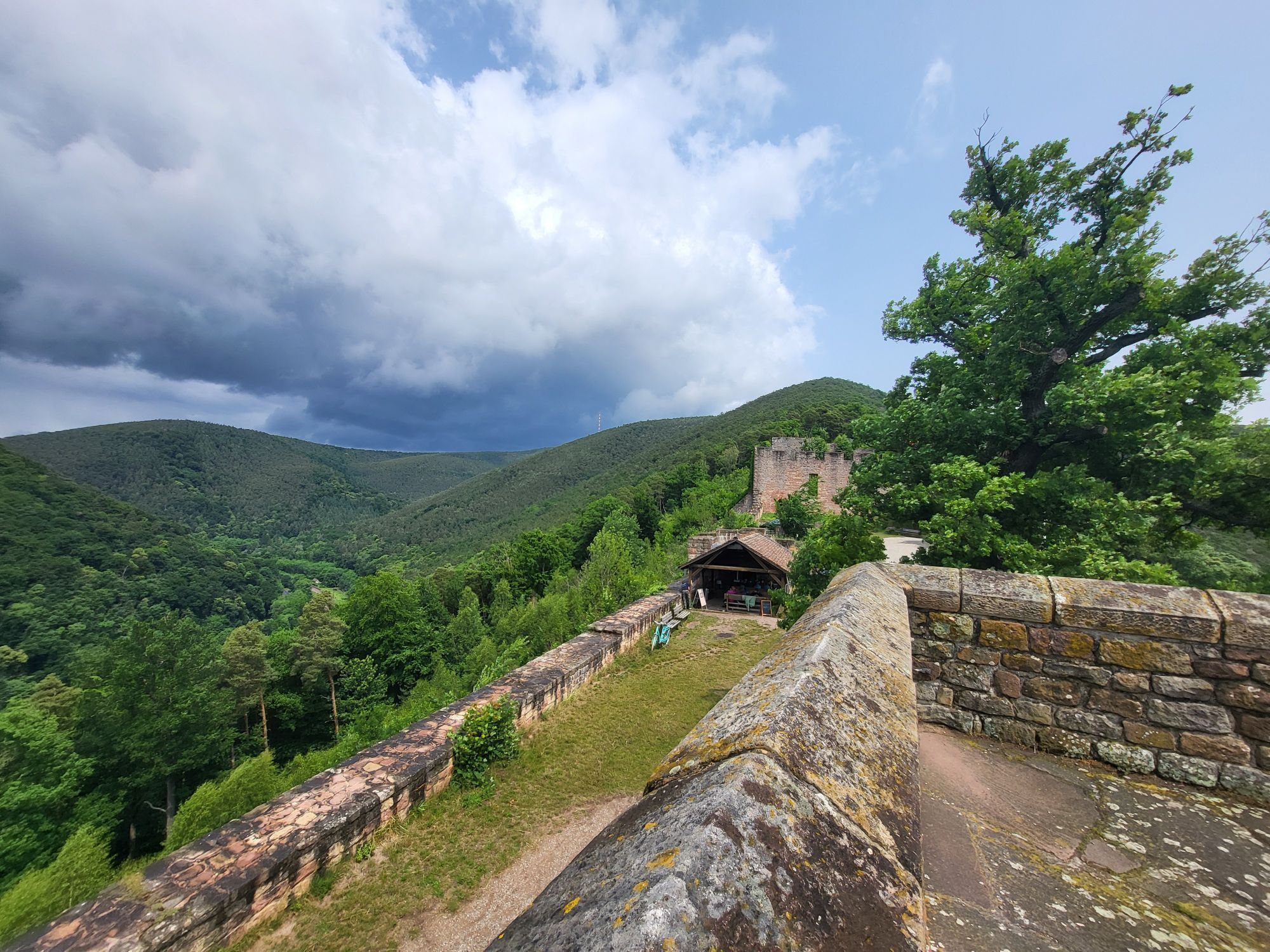
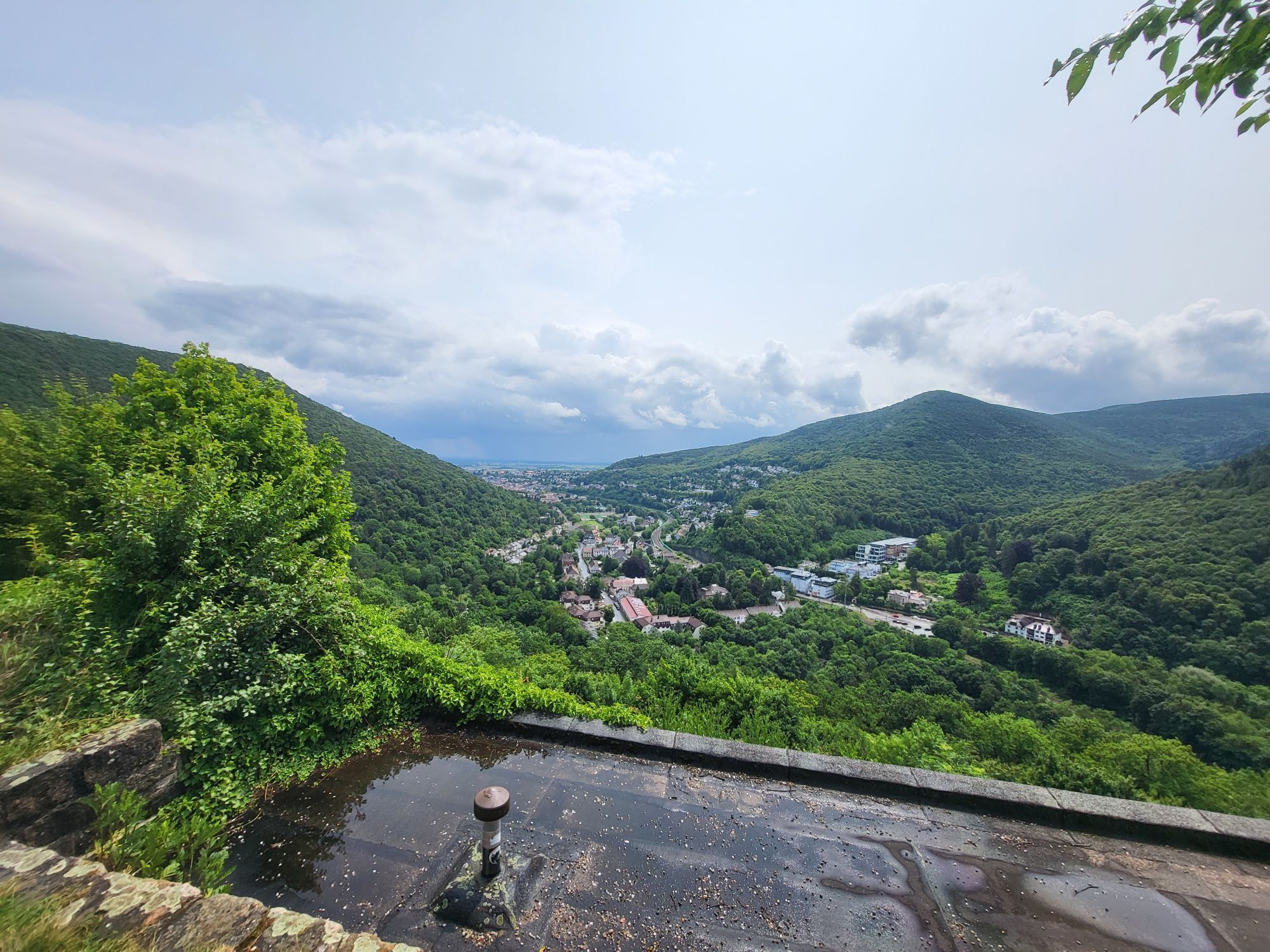
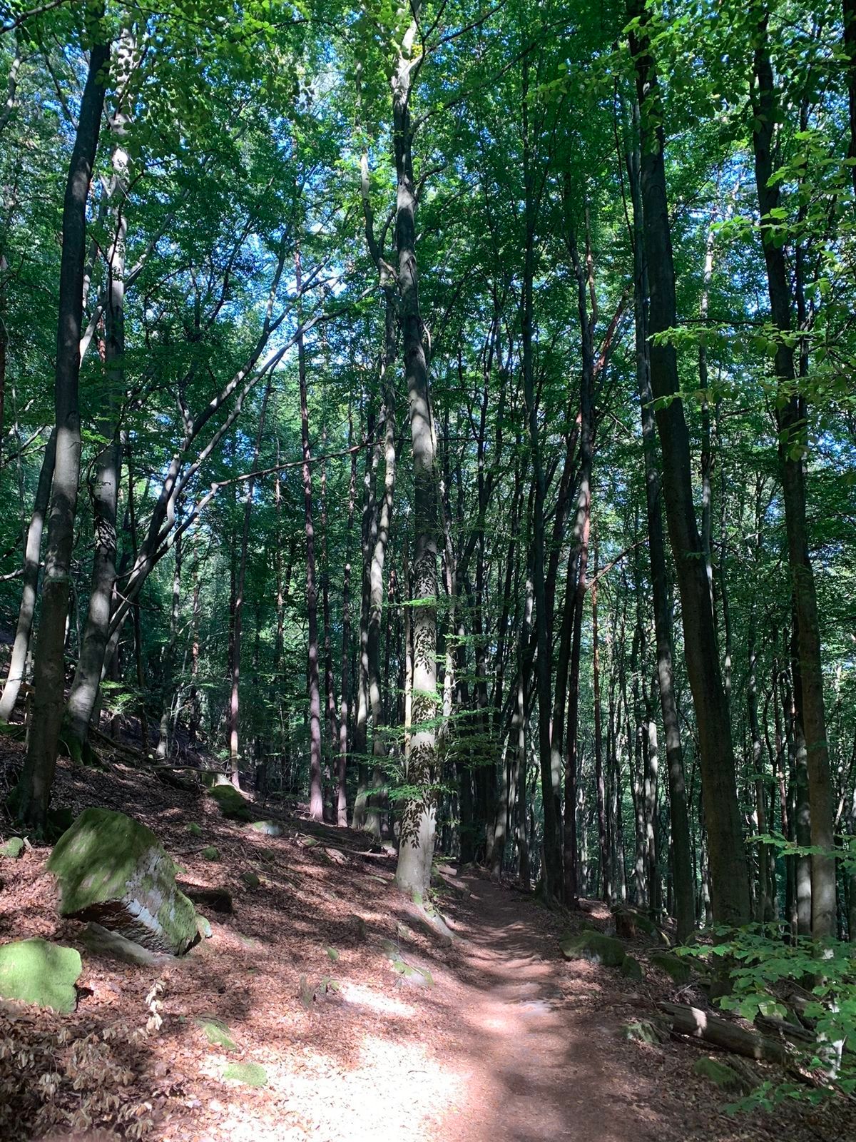
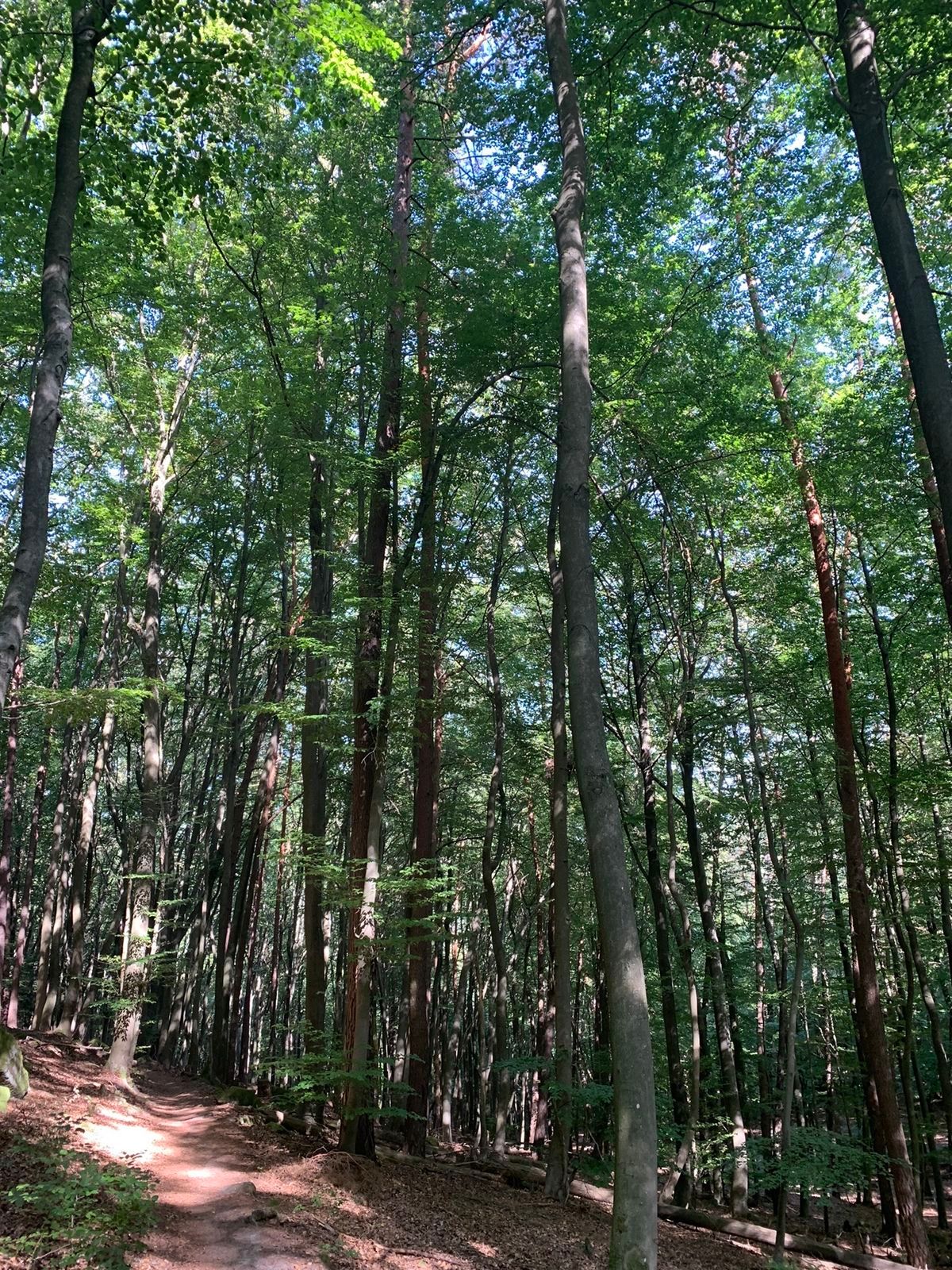
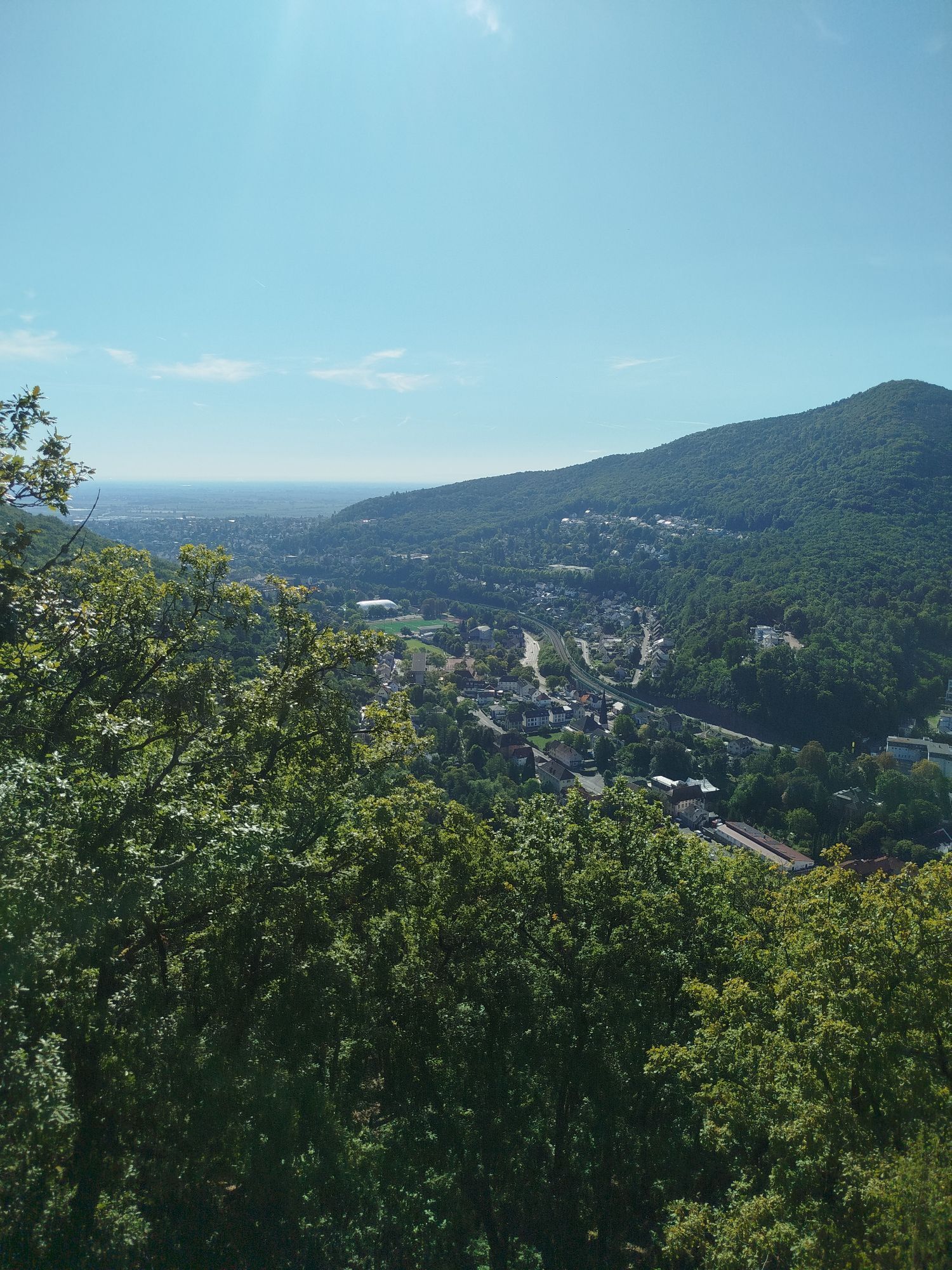
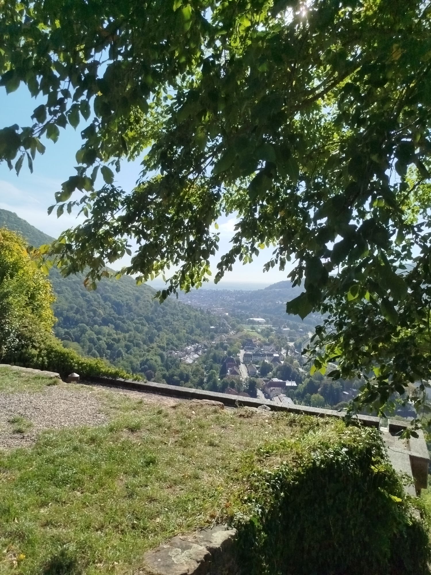
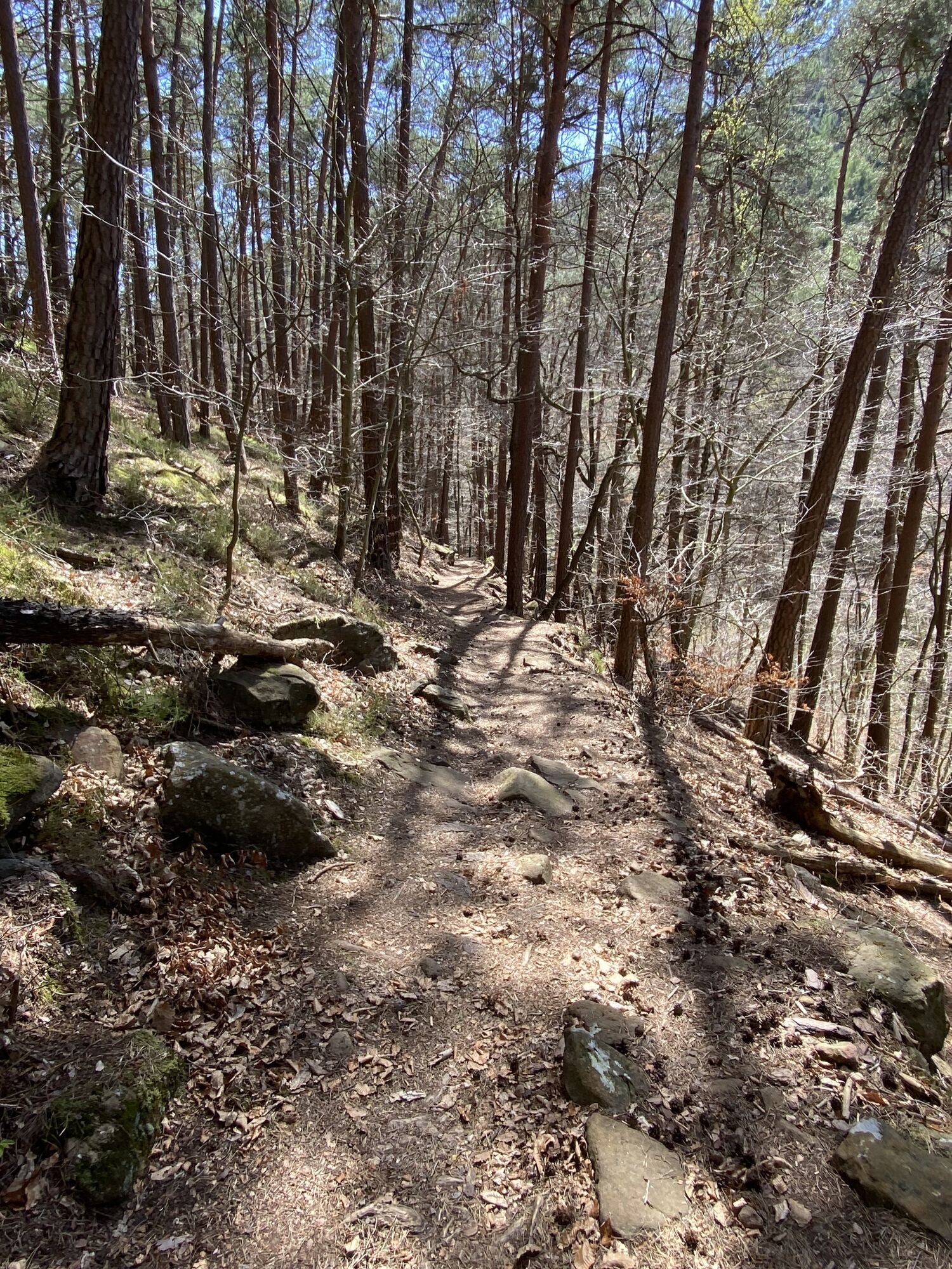
High peaks, heavenly views, and idyllic wine villages: monotony vacations elsewhere. The route starts at the historic town hall at the marketplace and leads past the outdoor pool and vineyards to the Pfalzblick forest inn, where you capture the silence of the forest. Further via the Klausenkapelle chapel, the path continues to the wine village Königsbach with the parish church of St. Johannes. After the ascent to the Meerspinnblick viewpoint, the path follows the Gimmeldingen valley to the Benjental forester's house, where the ascent to the 554 m high Weinbiet begins. Once at the top, a break is recommended at the Weinbiethaus. A final ascent takes you to the lookout tower, where the view sweeps over the contrasting landscape. Over the ridge of the Wolfsberg, you hike to the natural monument Bergstein and the Wolfsburg ruin. Behind the Scheffelwarte begins the descent passing the Deidesheimer temple and the Dr. Welsch terrace via the Haardter stairway path into the enchanting old town of Neustadt an der Weinstraße.
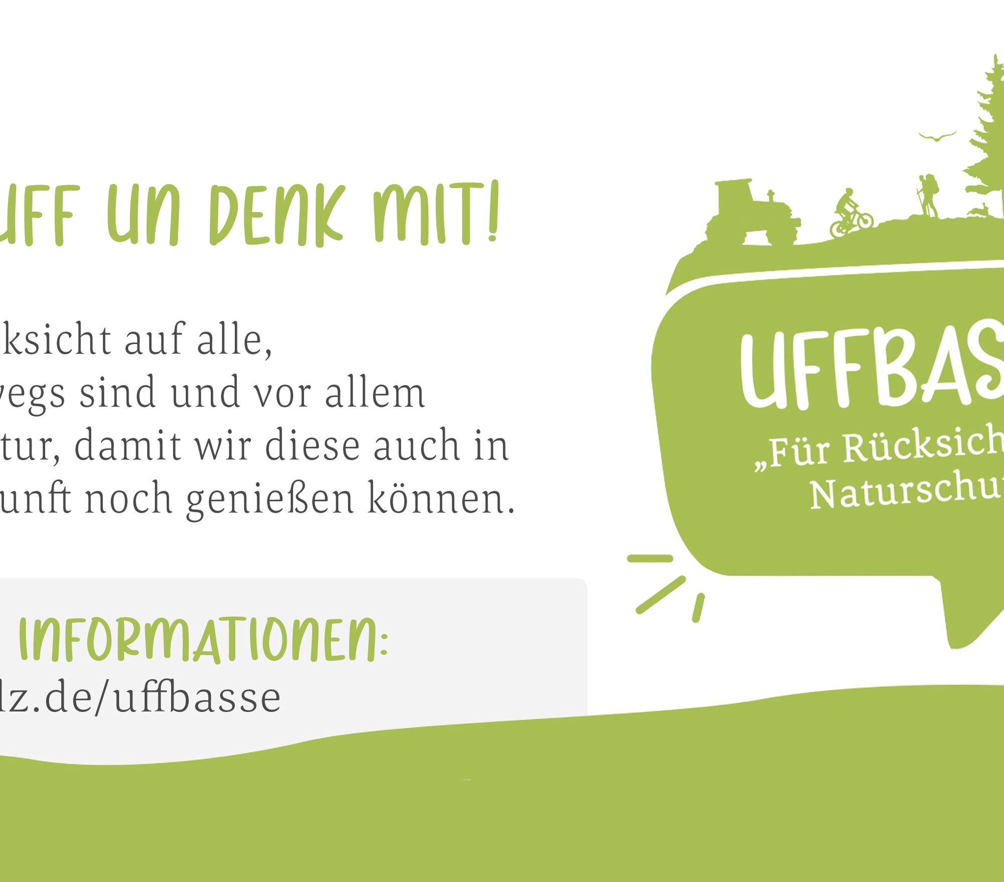
UFFBASSE! - Campaign for a considerate coexistence in nature
Fire & smoking - Making fire, smoking, and grilling are strictly forbidden in the forest and absolutely must be avoided! Fires and thus major damage to nature and wildlife can only be avoided in this way.
Considerate behavior - Always behave in a forward-looking, friendly, and considerate manner towards everyone you meet on the way.
Nature conservation - Stay on designated paths and avoid unnecessary noise when you are in nature. Leave the forest by dusk at the latest to avoid disturbing the rhythm of nocturnal animals.
Picnic & waste - Bring a trash bag for the way and take your waste back home. Use only furnished rest areas for breaks and picnics.
Leash dogs - Please always keep your dog on a leash. Other visitors and animals will thank you.
More information at: www.pfalz.de/uffbasse

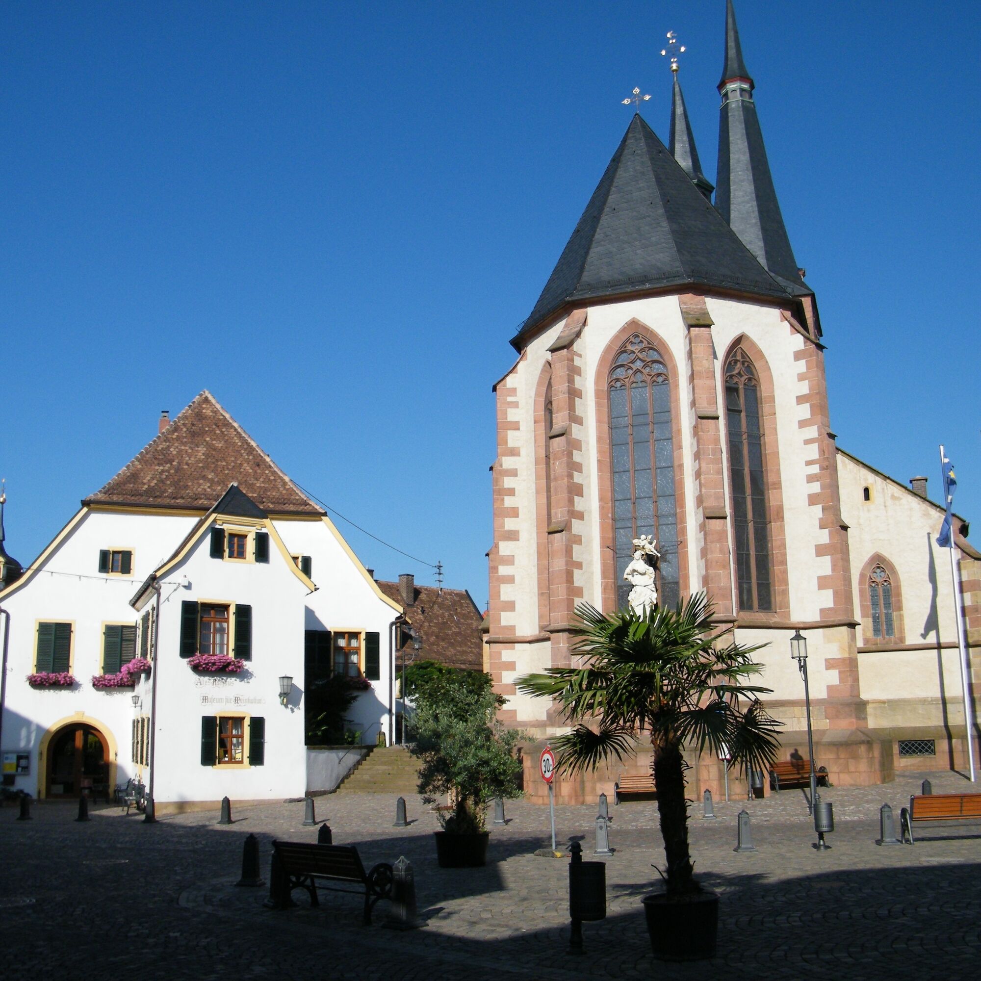
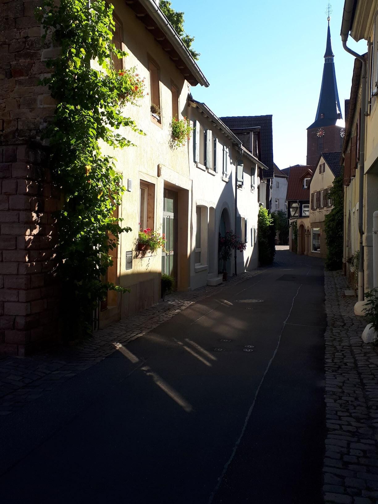
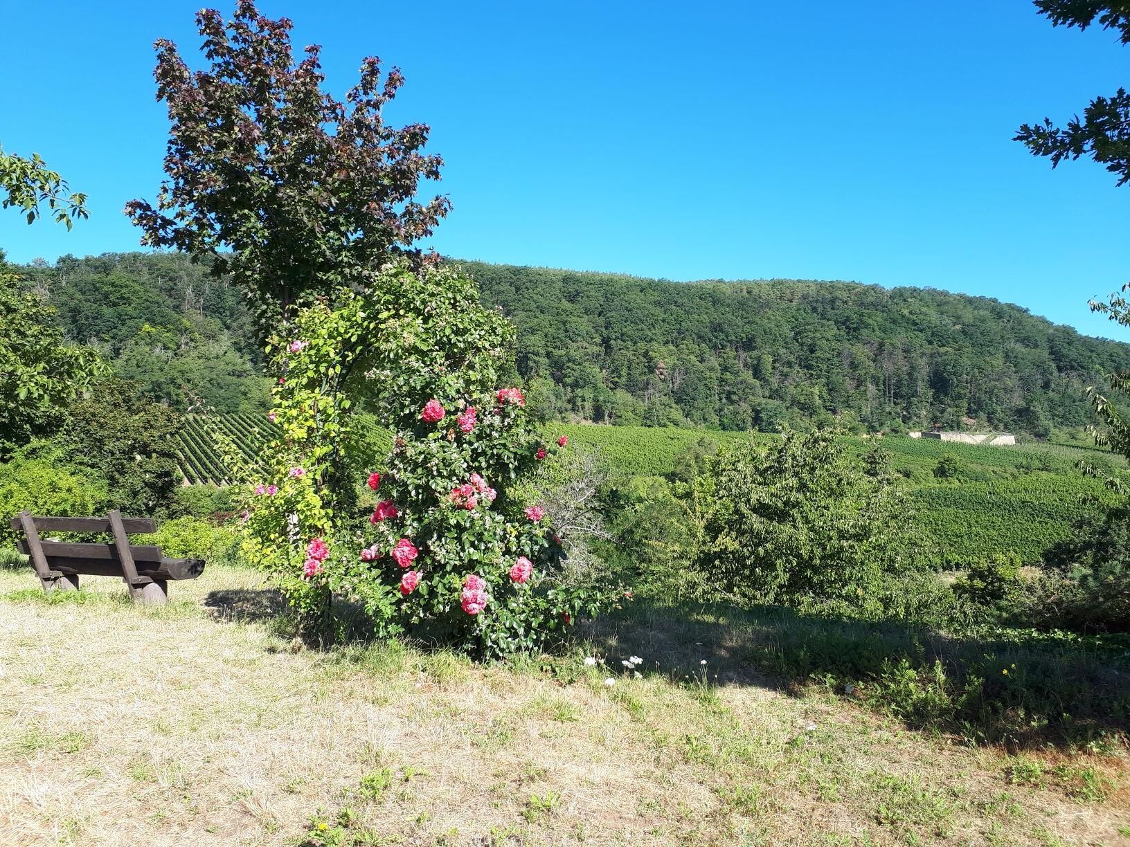
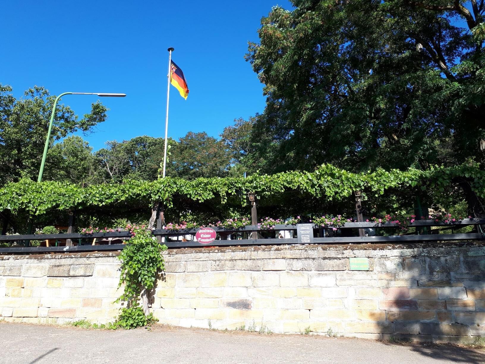
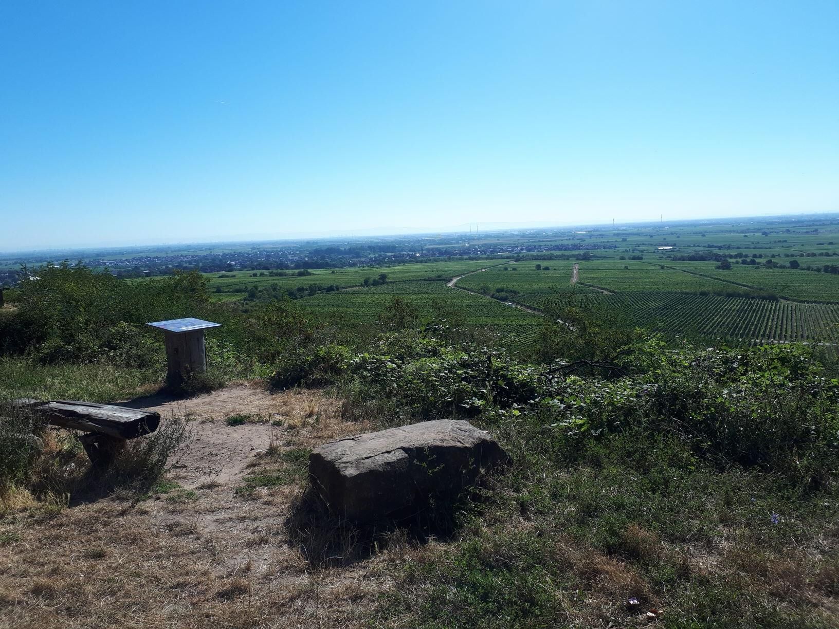
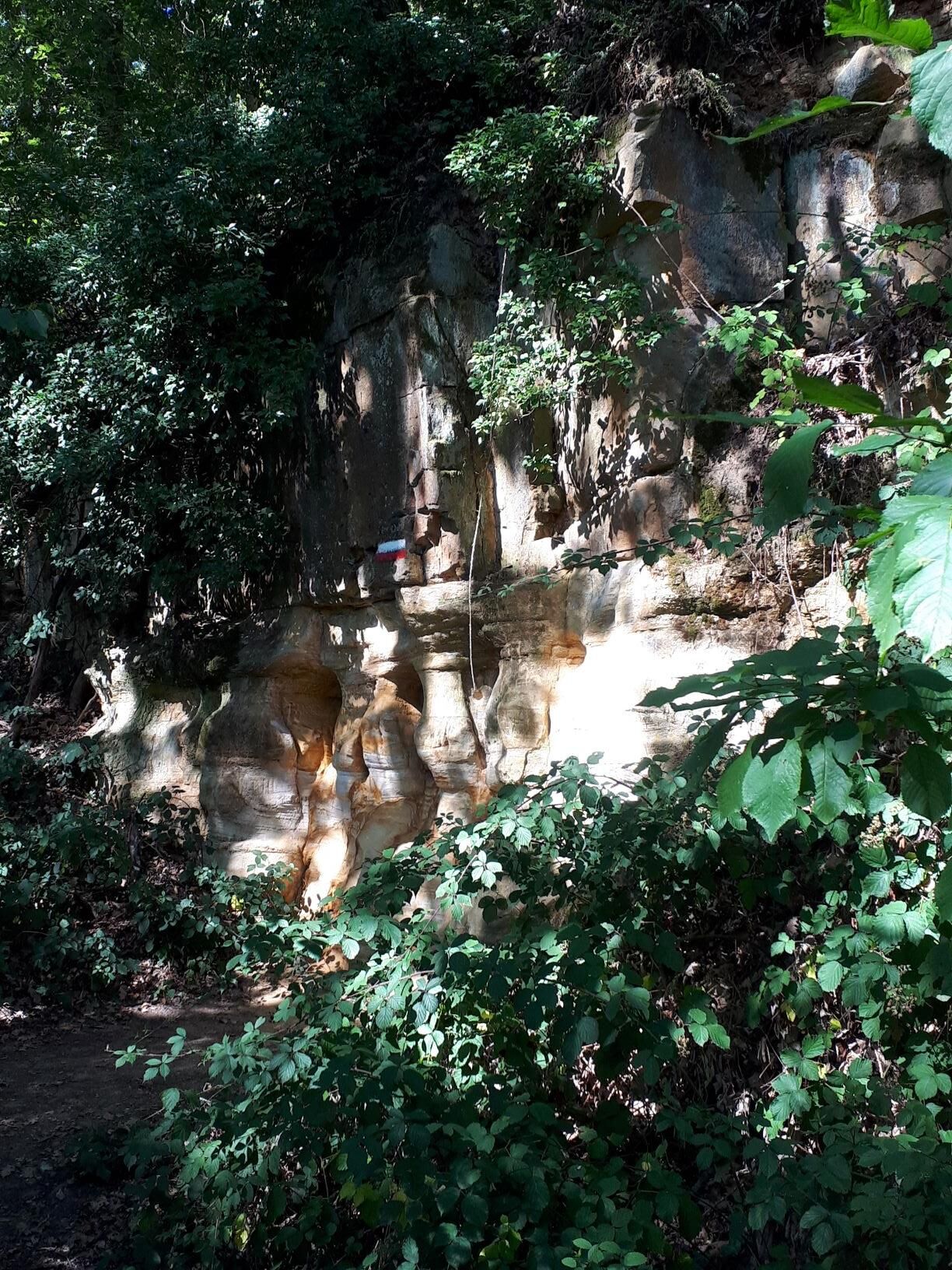
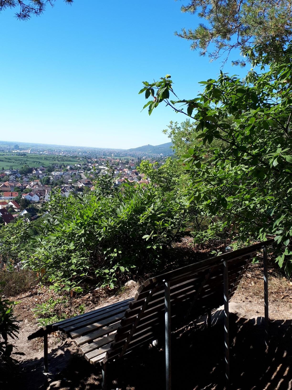
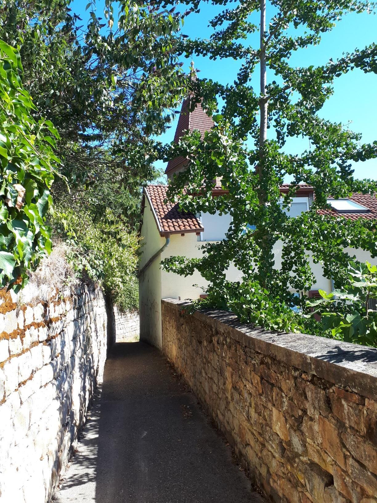
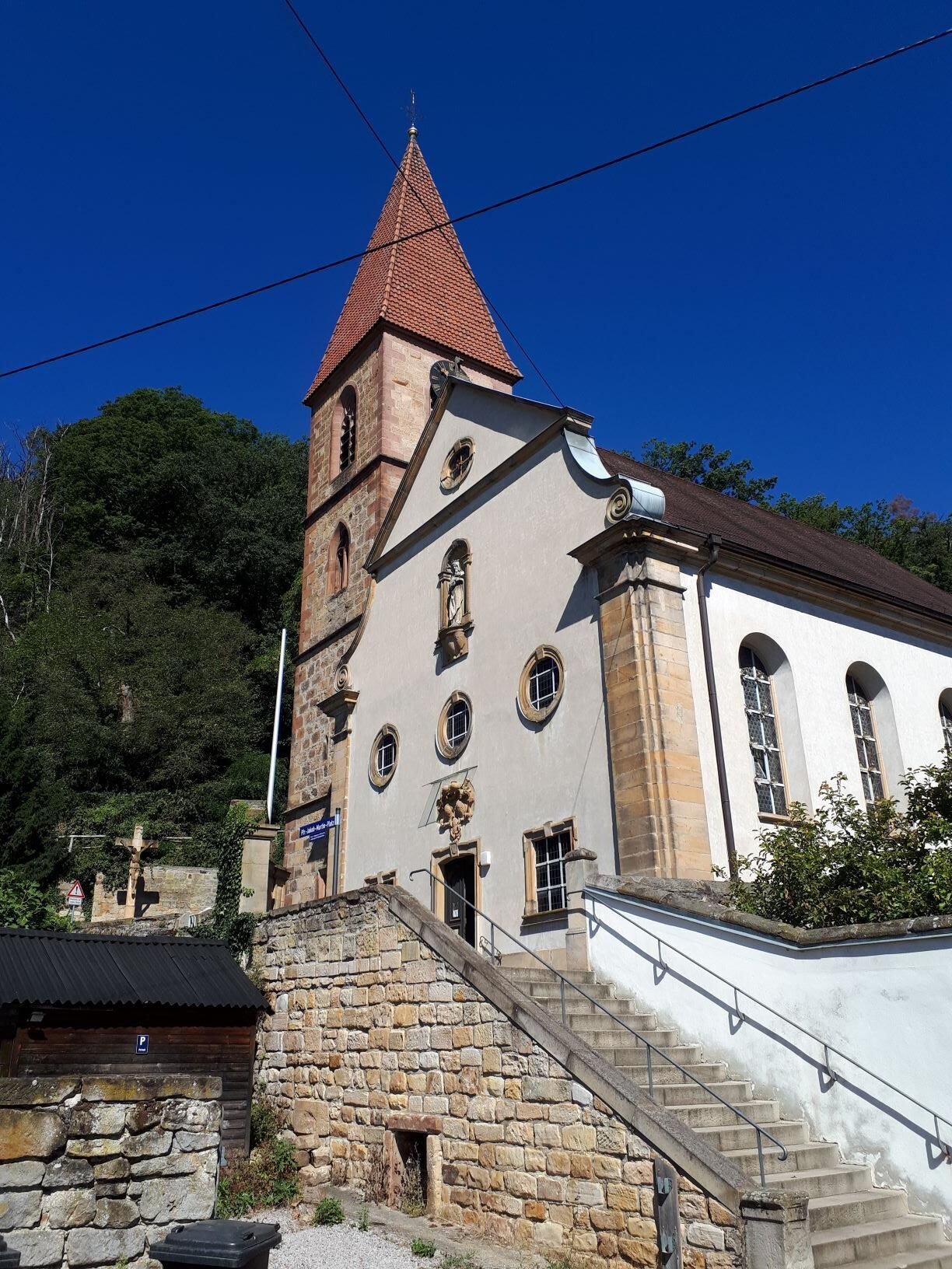
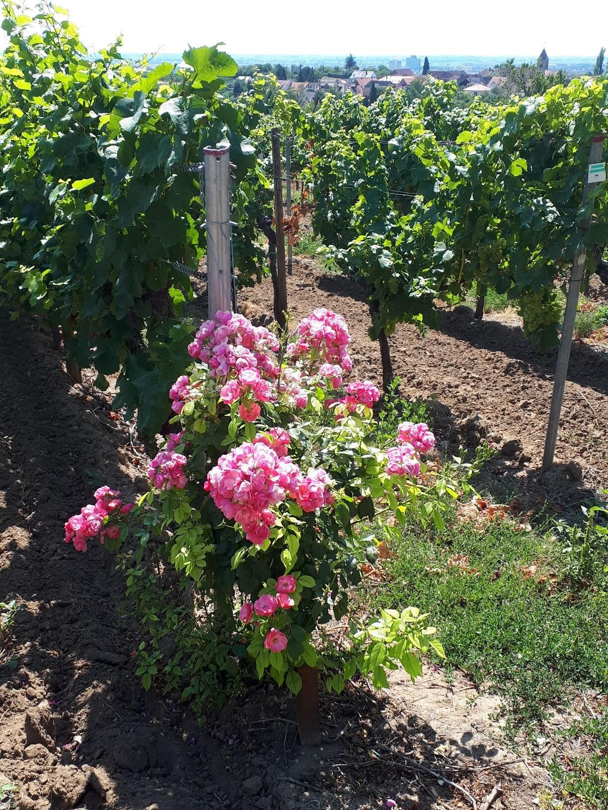
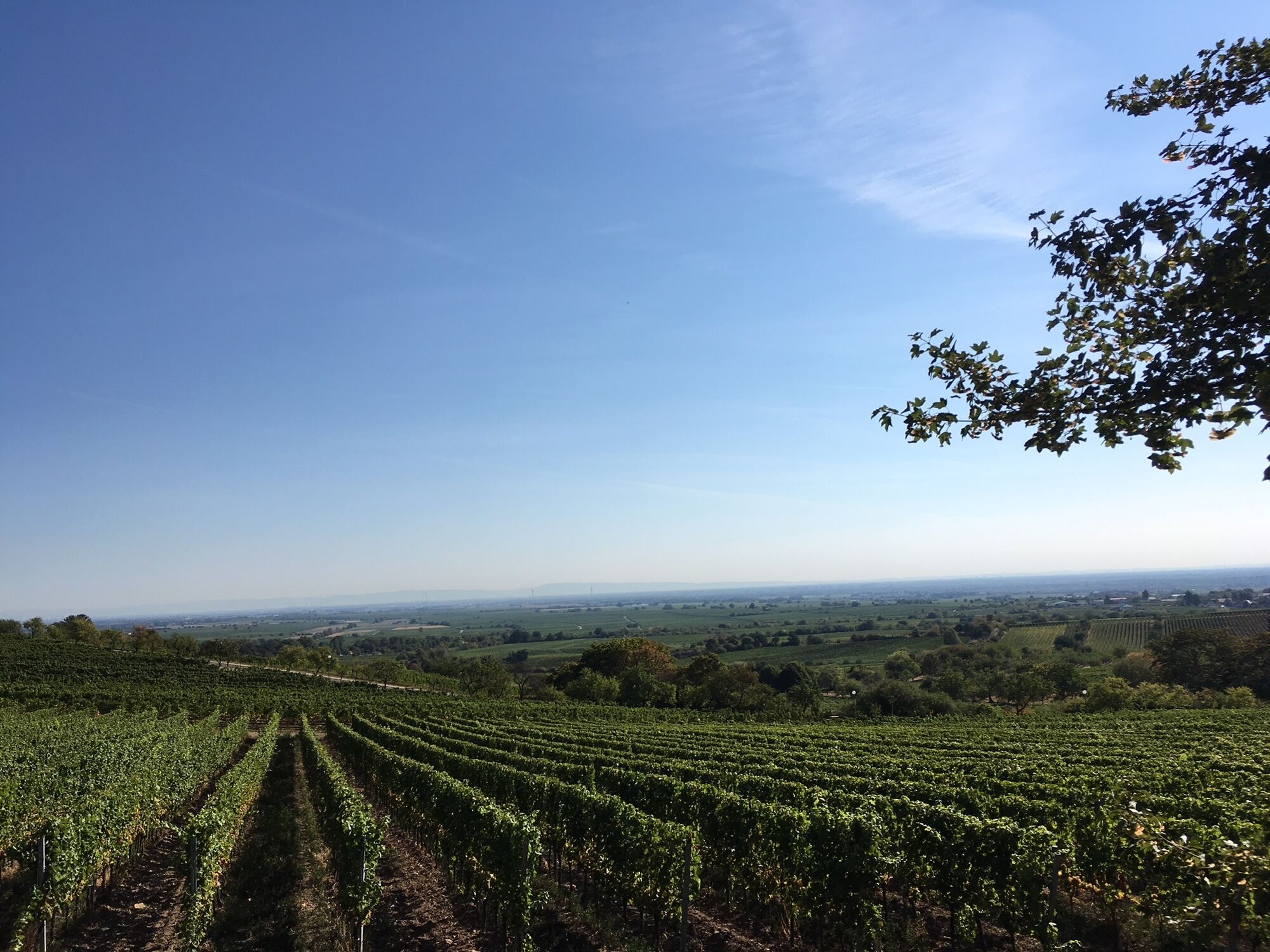
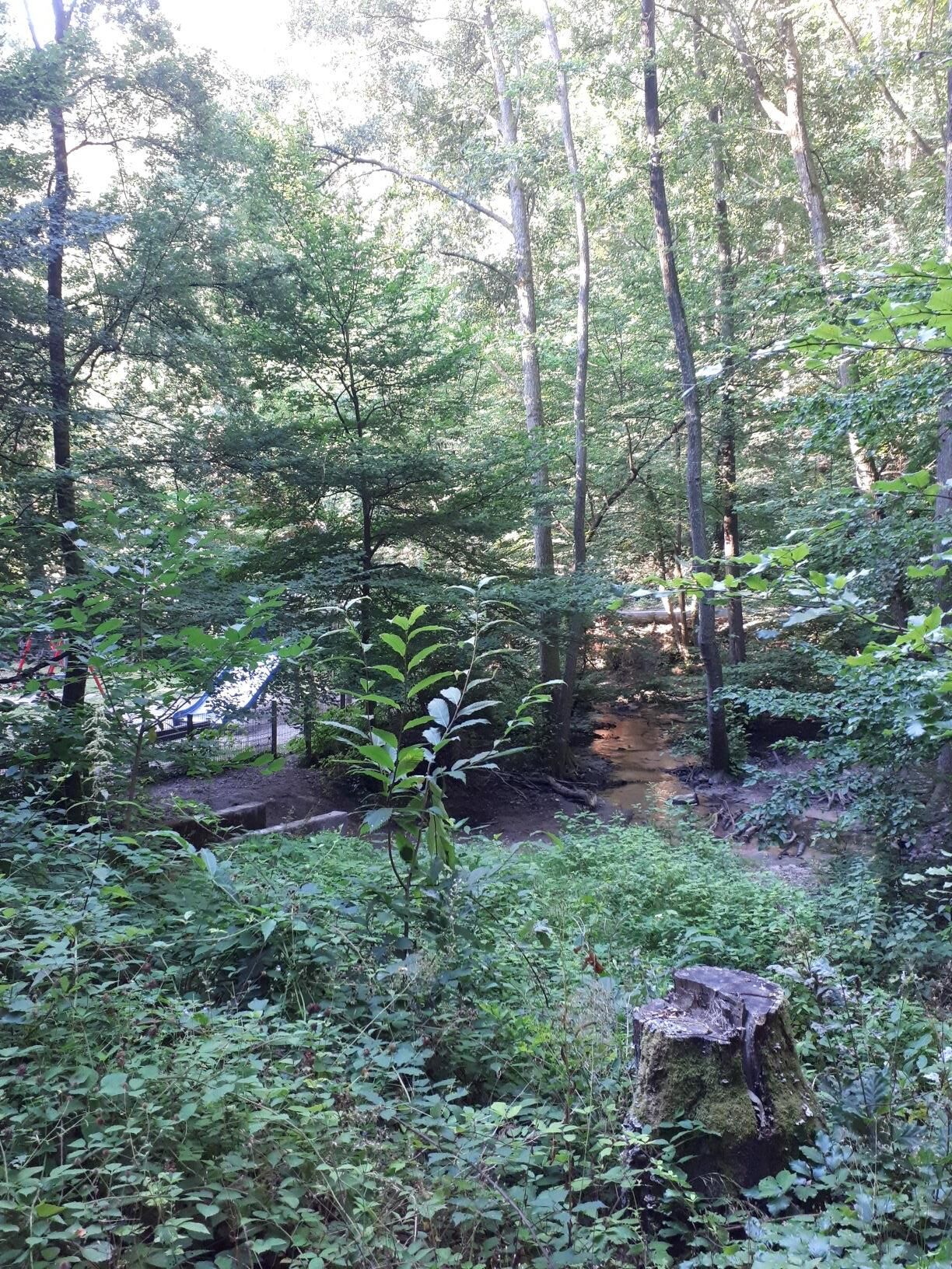
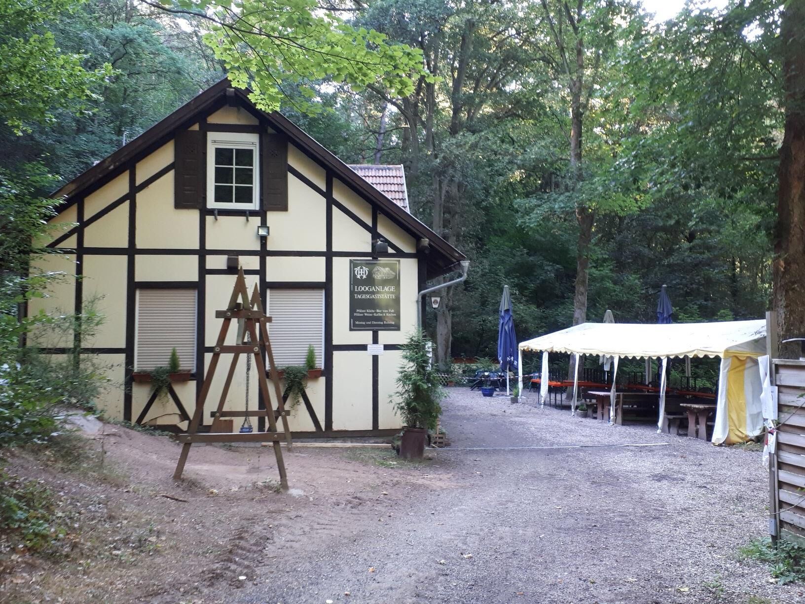
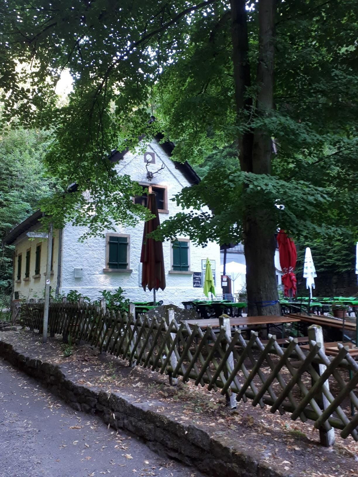
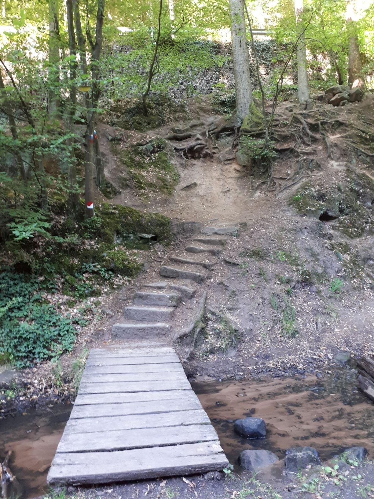
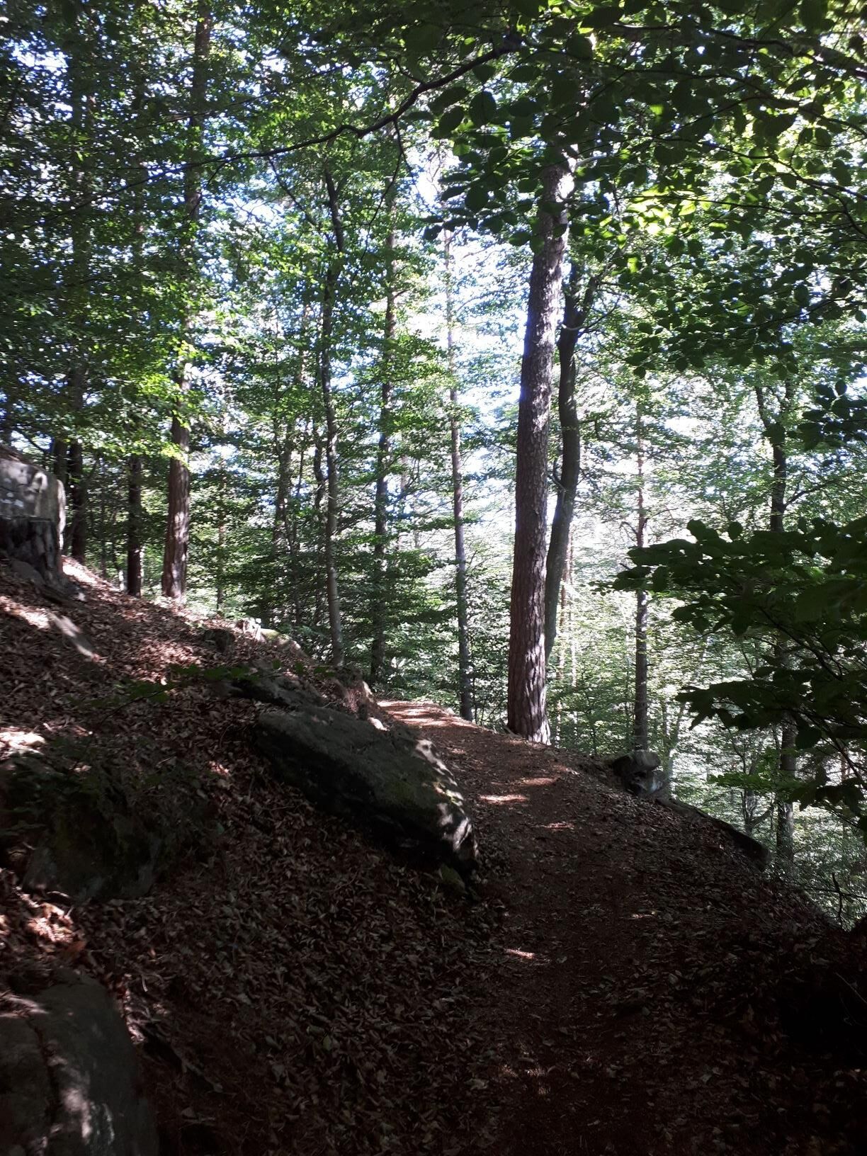
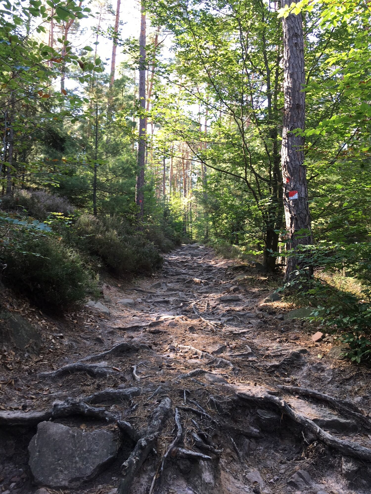
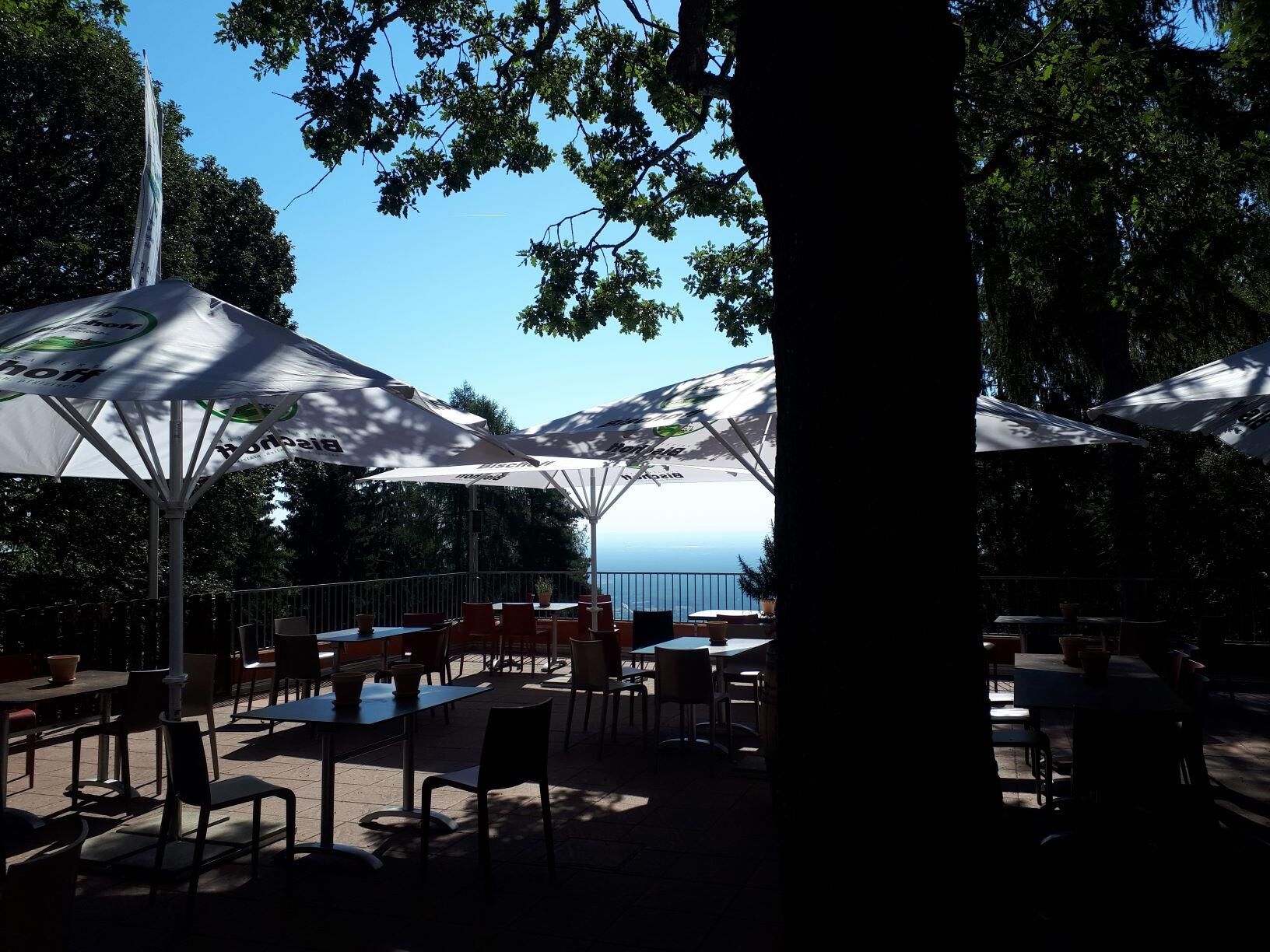
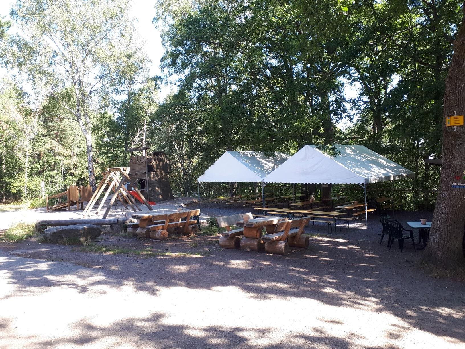
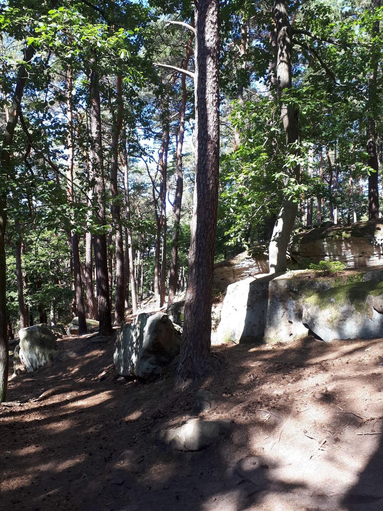
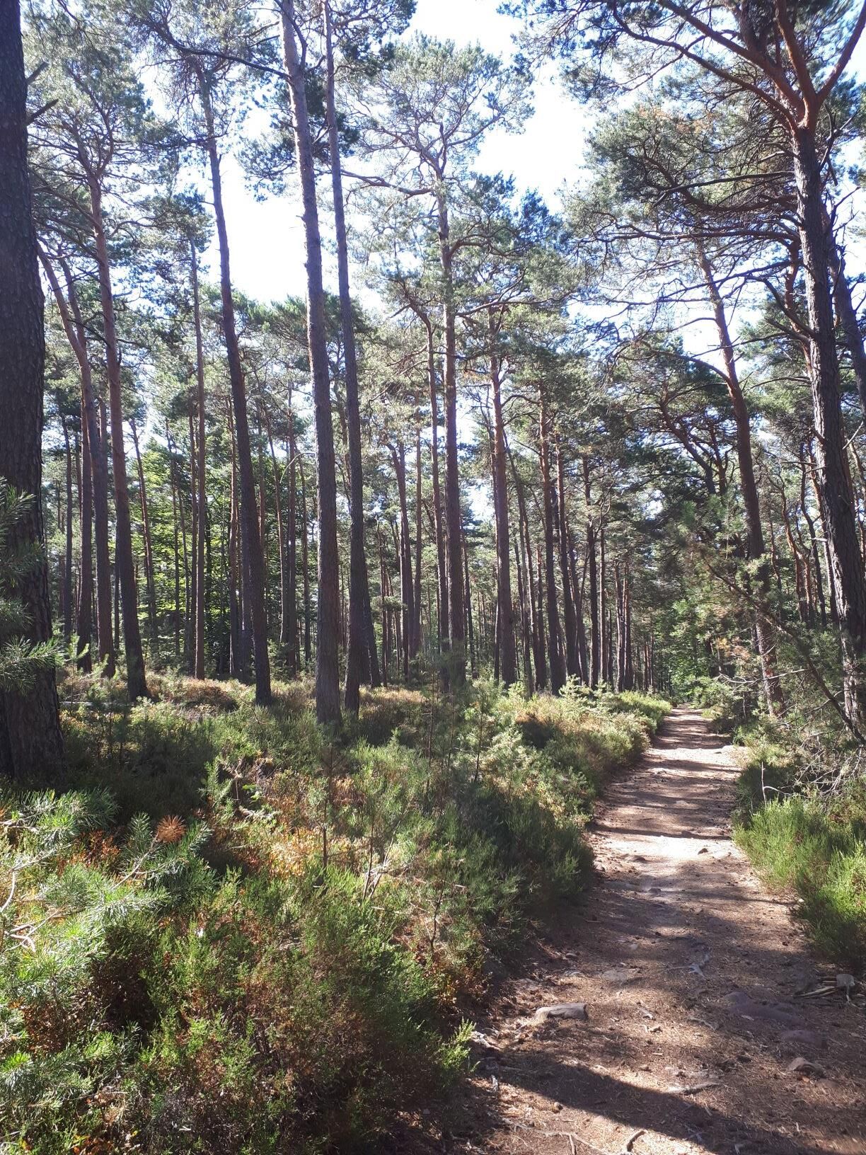
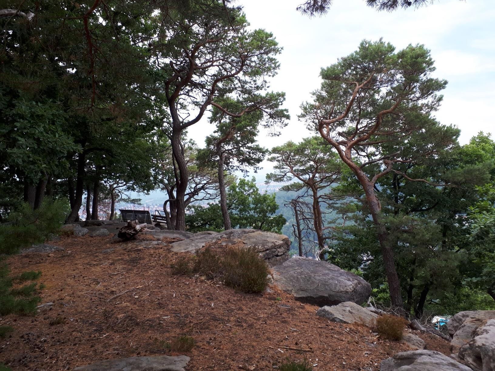
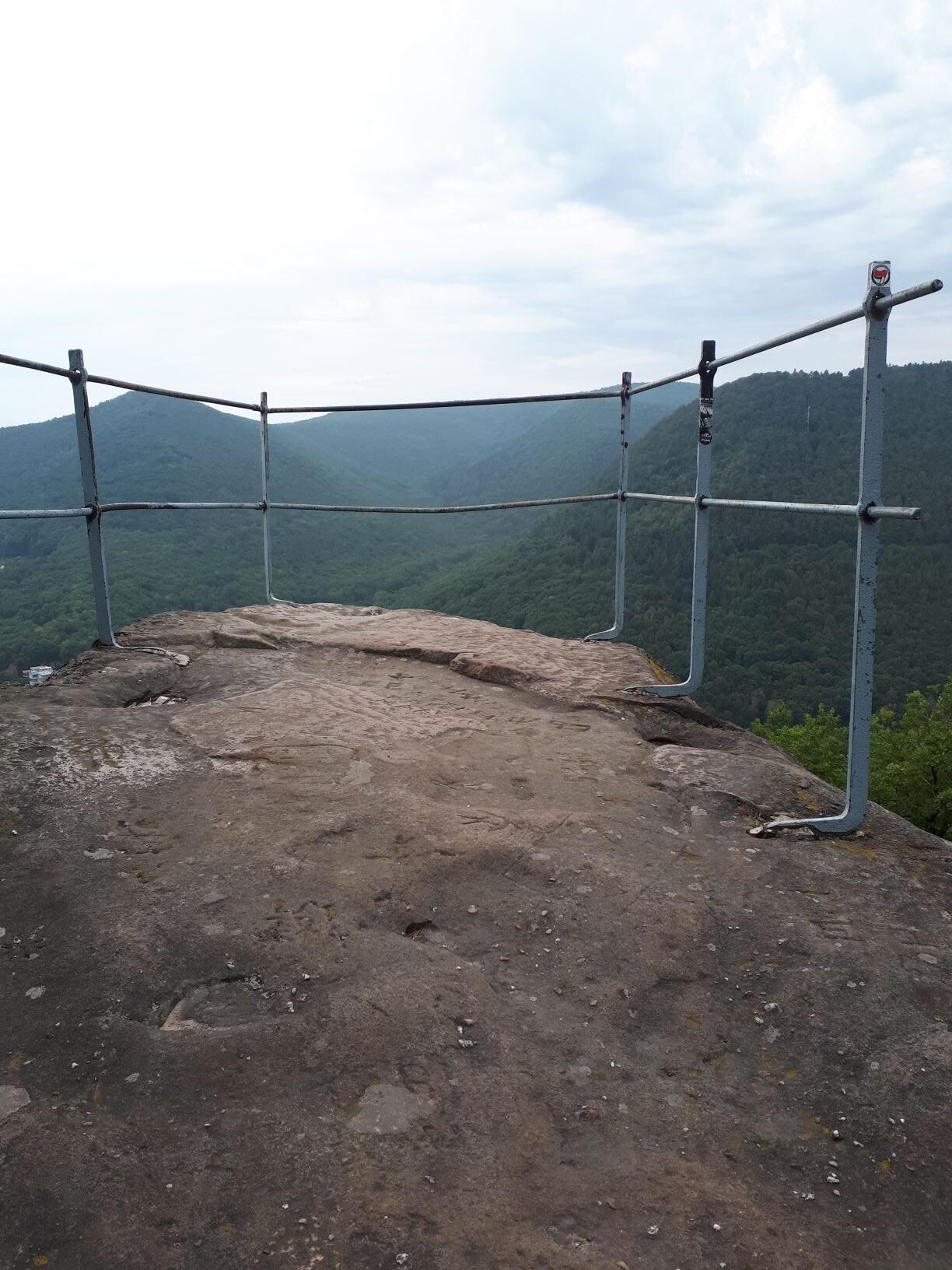
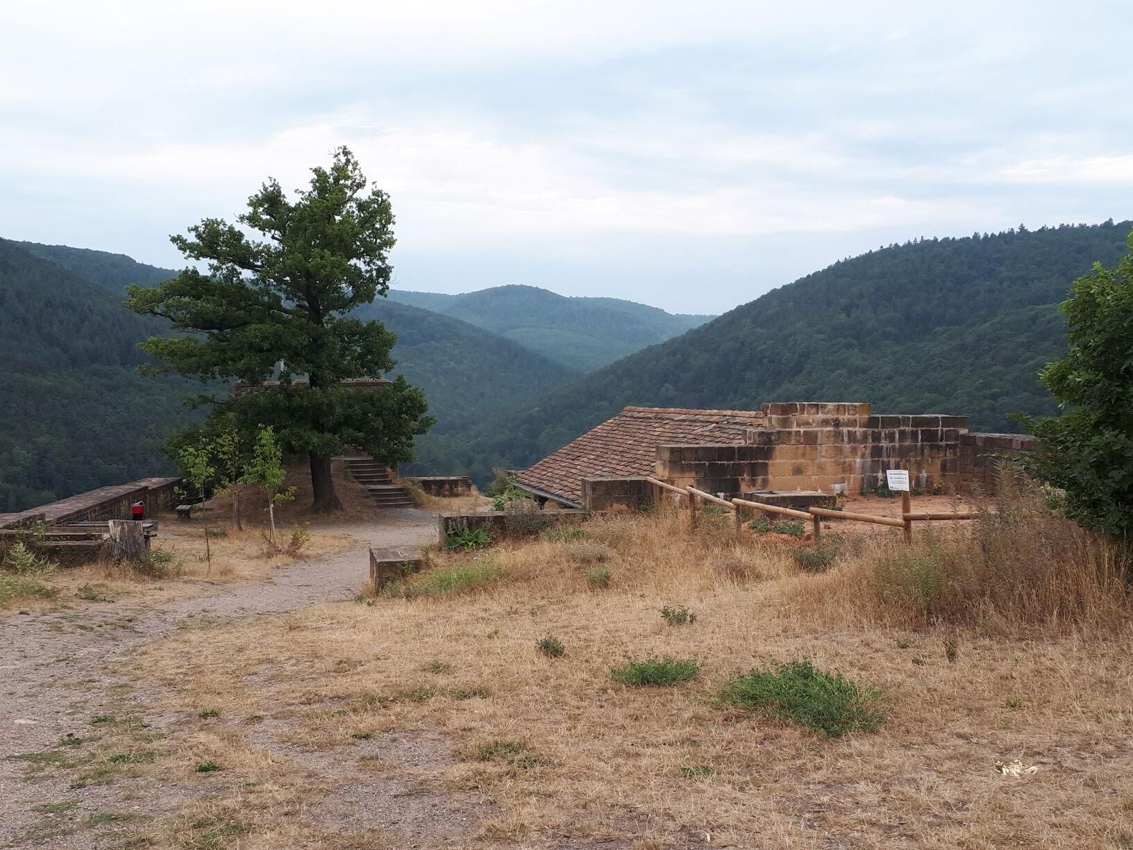
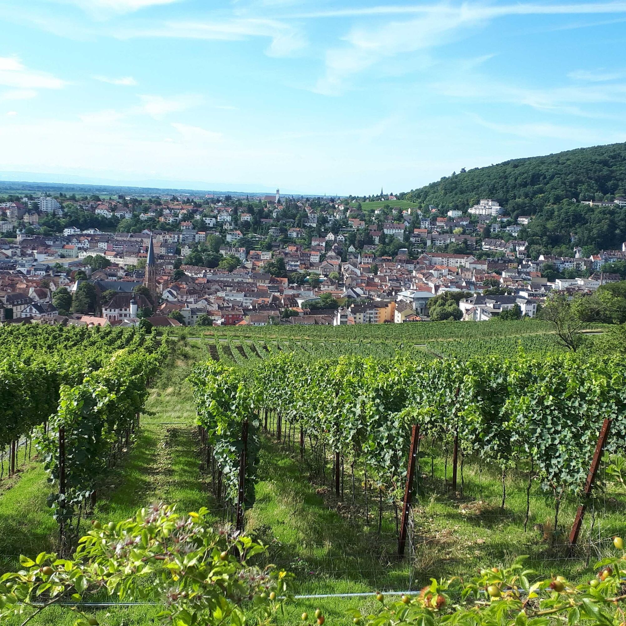
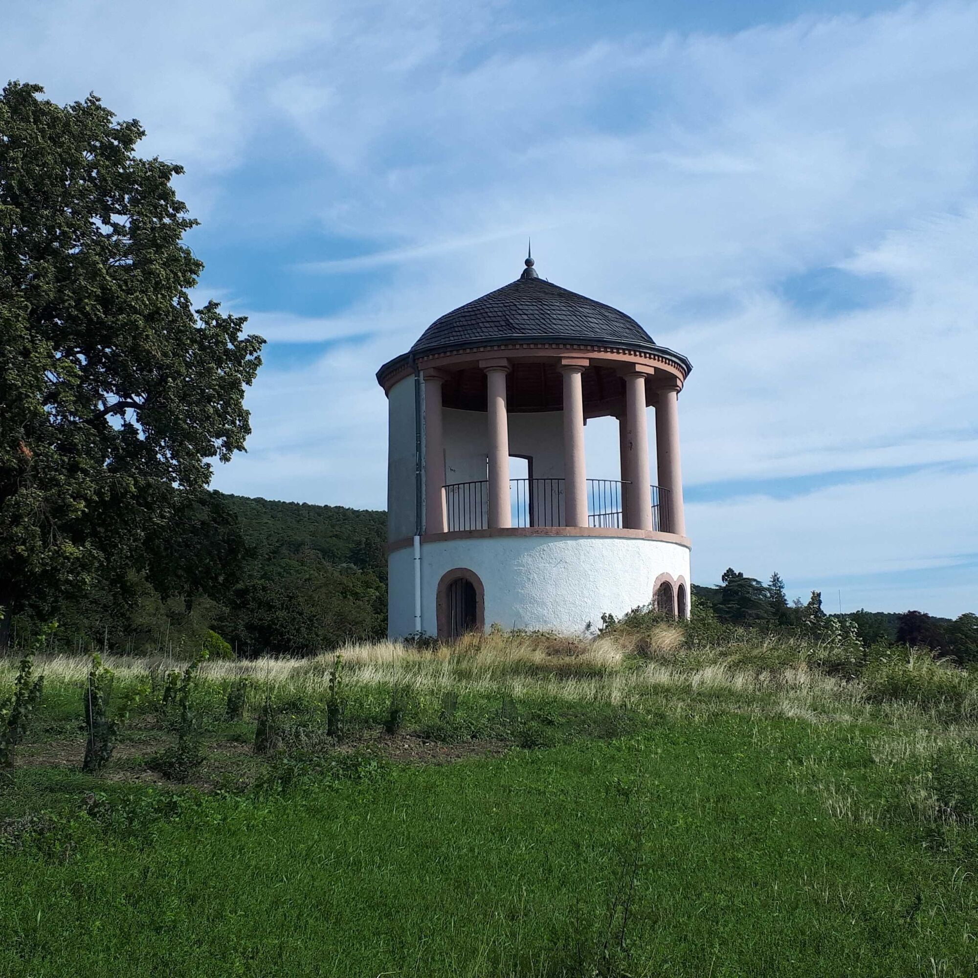
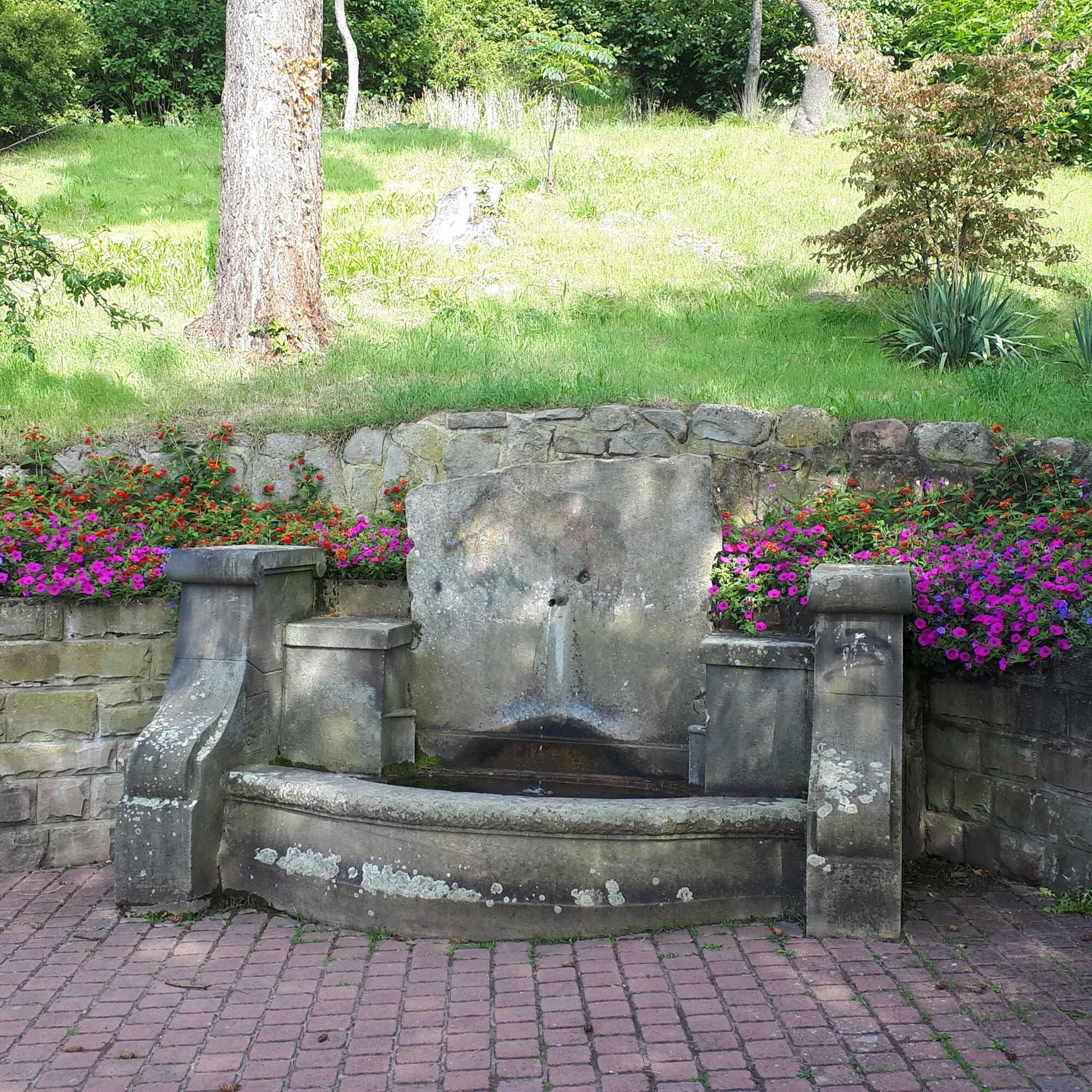
From the historic marketplace in Deidesheim, we first walk past the outdoor pool and through sunny vineyards along the Weinbach stream before entering the forest below the Pfalzblick guesthouse. The shady path above the former single vineyard "Schlossberg" leads us via the Klausenkapelle chapel to the wine village of Königsbach with its impressive parish church of St. Johannes. After the ascent to the "Meerspinnblick" viewpoint above Gimmeldingen, we hike along the babbling Mußbach through the Gimmeldingen valley to the Benjental forester's house. Here begins the long climb to the 554 m high Weinbiet. Through beautiful mixed forests, we reach the highest peak of the Haardt north of the Speyerbach. Here we can first enjoy a proper snack at the Weinbiethaus (PWV) before tackling the final ascent to the lookout tower. The view extends far across the Rhine Plain and the highest summits of the Palatinate Forest. Over the broad ridge of the Wolfsberg, it then goes downhill past the scenic natural monument Bergstein and over the Hohfelsen to the Wolfsburg ruin, whose small castle tavern is open on weekends. From here, a cozy hillside path takes us to the Scheffelwarte. From there, the descent to Neustadt an der Weinstraße begins. Passing the Deidesheimer Temple and the Dr. Welsch Terrace, we walk over the Haardter staircase path into the historic old town and let ourselves be enchanted by the lively hustle and bustle and the charm of the half-timbered houses.
Tak
Tak
For our hiking routes, we recommend the following standard equipment:
Sturdy footwear Weather-appropriate clothing Sun and rain protection Sufficient supply of food and drinks, as not everywhere there are places to eat or shop, or they may be closed. Even though the paths are very well marked throughout, it is advisable for safety reasons to always carry a suitable hiking map so that, for example, in case of a thunderstorm or emergency you can quickly find a safe area.Hiking on natural paths and trails - Especially in autumn, it is also important to note that fallen leaves on the ground can hide unevenness, roots, stones, or holes in the path. After thunderstorms or heavy rain, trees may still fall or branches may drop afterward. Especially in adverse weather conditions, natural paths can have muddy and slippery sections. Not all rocks or cliffs are secured with ropes or railings. Sure-footedness is required in places. You must expect such path impairments when hiking. Should you believe that certain sections are impassable for you, you should bypass them. Despite the “unlost” marking of the premium hiking trails, we always recommend carrying an appropriate hiking map for safety reasons so that, for example, in a thunderstorm or emergency, you can quickly find a safe area. Path closures and detours must be strictly observed.
Danger situations - If an emergency occurs, quick help is needed. And even though cell phones can send GPS signals, classic rescue points are often the fastest. These are located at places easily accessible for rescue vehicles. Remember the points with green signs and a white cross. In an emergency, return there and give the number on the sign during your emergency call. This way, rescuers will know where to find you.
On the A65 to the Deidesheim exit, then on the B271 to Deidesheim
By train to Deidesheim
Schedule information: via the DB travel information and in the DB Navigator app
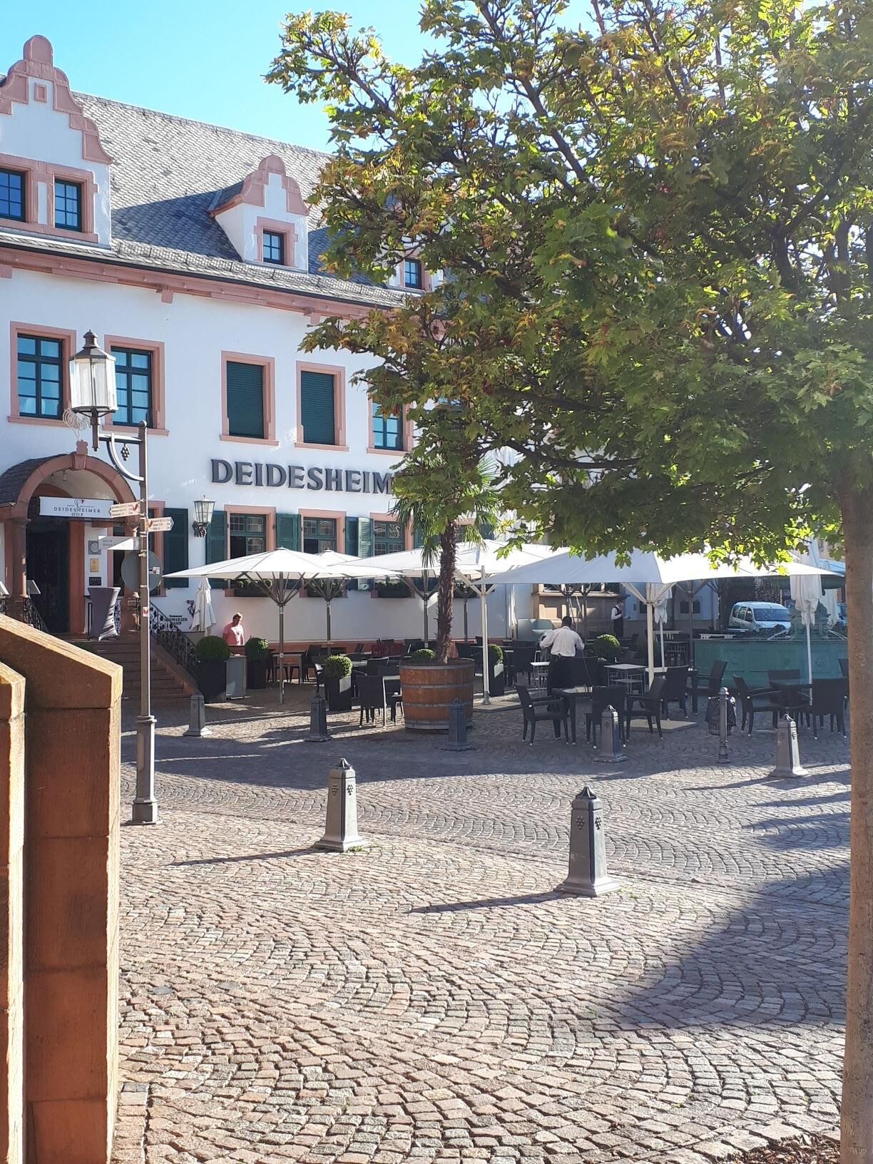
Marketplace in Deidesheim
Please only park in designated parking areas and always keep access routes for emergency vehicles as well as work paths in the forest and vineyards clear. For overnight stays in camper & caravan there are explicitly designated motorhome parking spaces.
Tak
Make a detour to the Mandelring in Neustadt-Haardt. Great villas and wineries!
Popularne wycieczki w okolicy
-
4,0
Ganerbenweg - Premium circular hiking route in the Freinsheim holiday region
średniWędrówka 10,5 km -
4,5
From Deidesheim over the Heidenlöcher to Eckkopf
średniWędrówka 14,6 km -
Wachenheim - Eckkopf - Heidenlöcher - Wachenheim
średniWędrówka 12,8 km -
5,0
Wachenheimer Valleys Route to Oppauer Haus
średniWędrówka 11,7 km -
4,0
Thomas‘ Waldweinstube über die Wachtenburg
światłoWędrówka 4,81 km -
3,5
Leininger Monastery Trail - Premium hiking trail with audio and video stations
średniWędrówka 15,3 km -
5,0
Vom Hambacher Schloss auf die Kalmit
średniWędrówka 11,3 km -
5,0
Rundtour Roth unter Riethburg
średniWędrówka 14,5 km -
Neustadt, Kaltenbrunner Tal, Totenkopfhütte, Hellerhütte, Königsberg, Neustadt Neustadt an der Weinstraße, Rheinland-Pfalz
światłoWędrówka 18,1 km -
Palatinate Wine Steig Stage 03 Bad Dürkheim - Deidesheim
średnidługodystansowy szlak pieszy 15,2 km

Wędrówki i tropienie


Nie przegap ofert i inspiracji na następne wakacje
Twój adres e-mail została dodana do listy mailingowej.