






Saar Cycle Route

Poziom trudności: 1
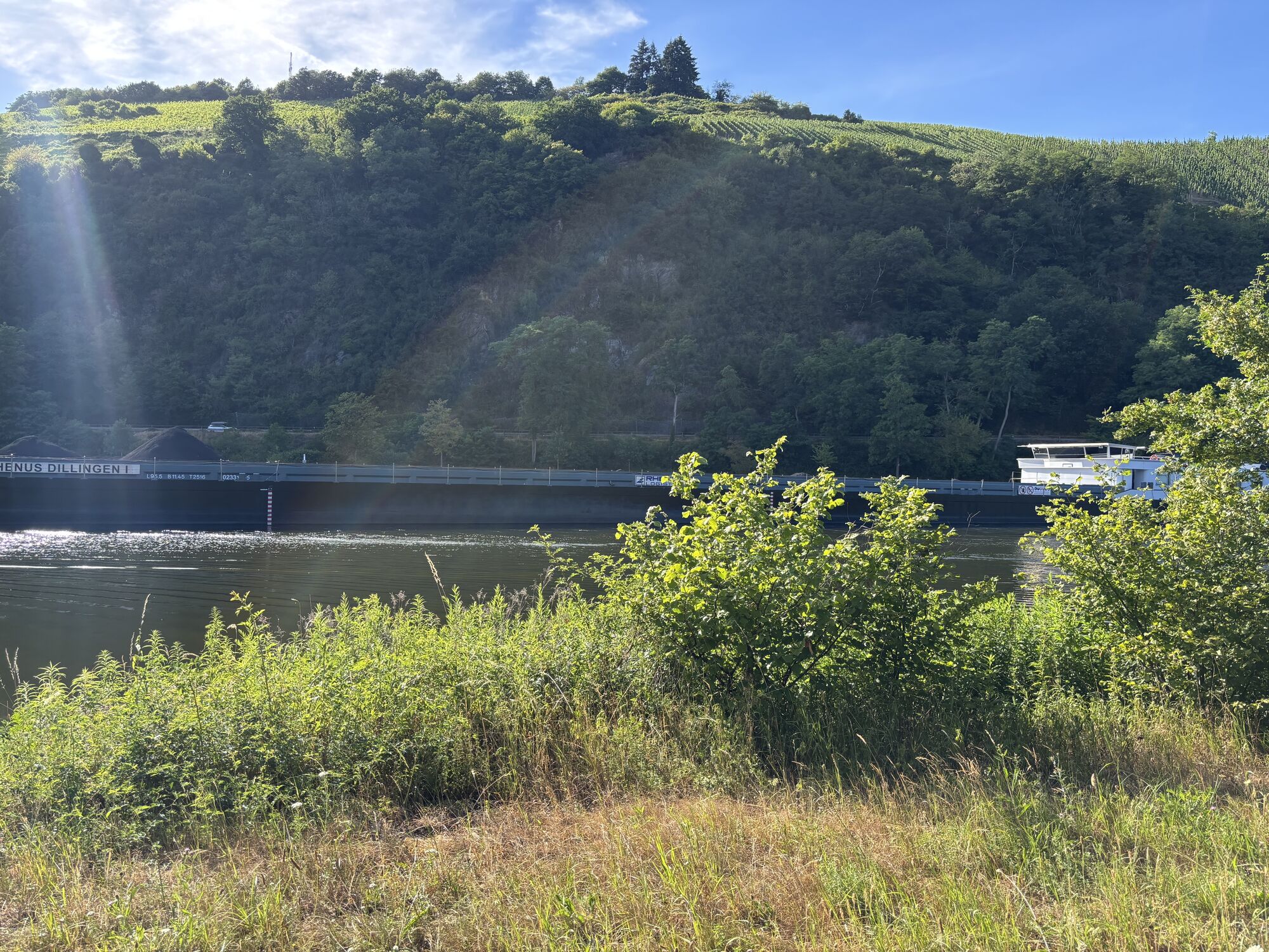
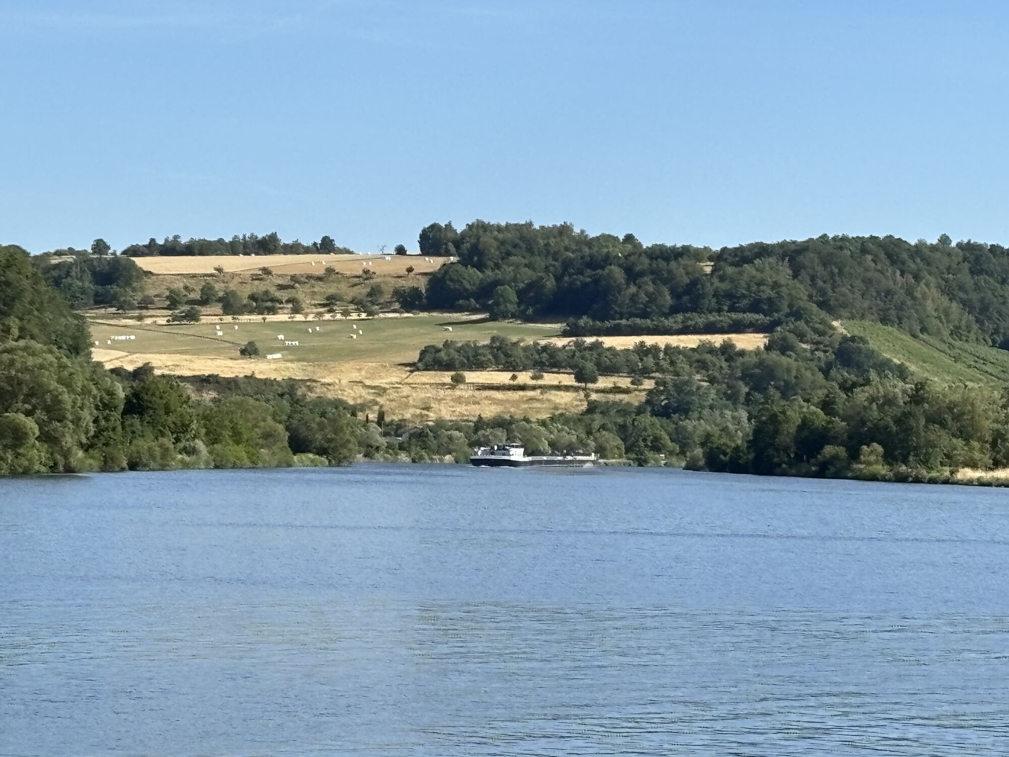
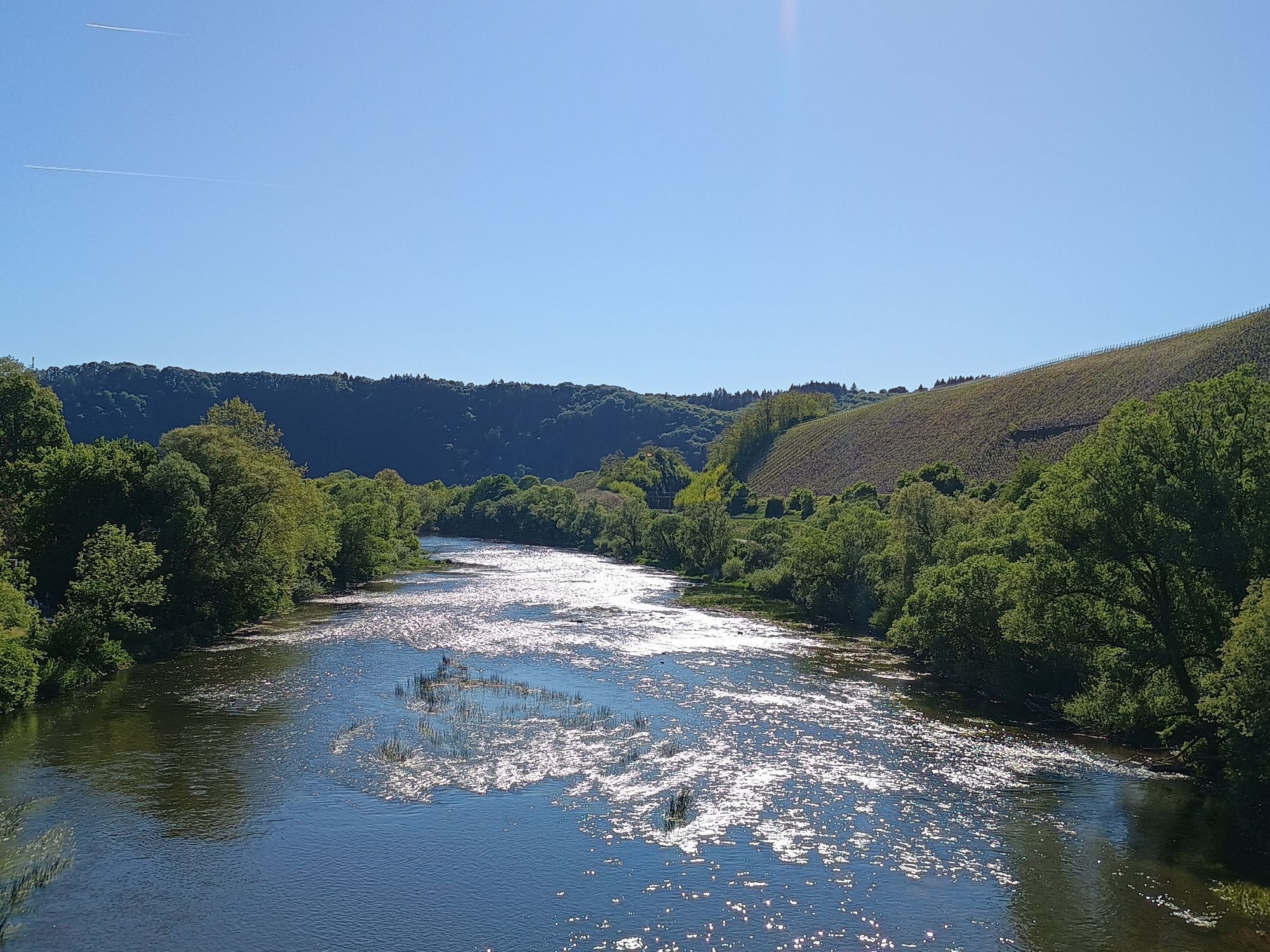
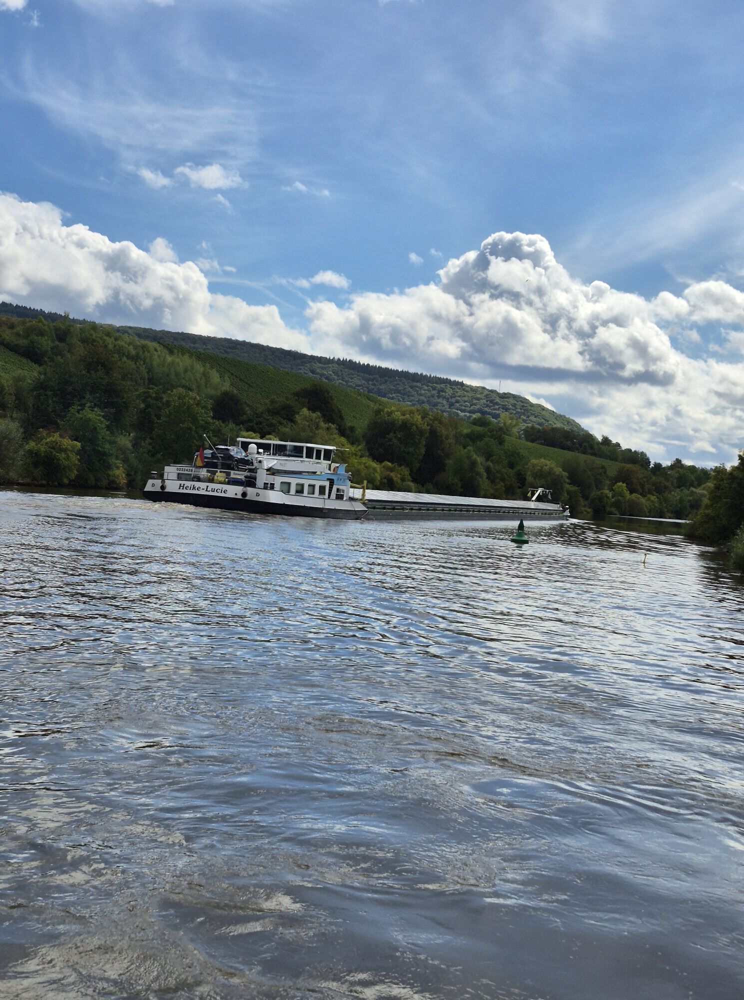
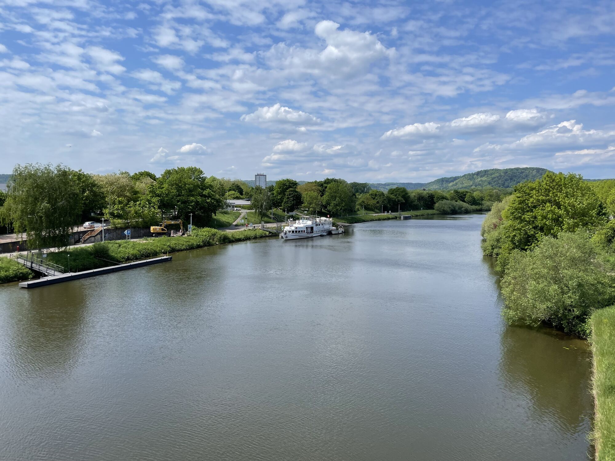
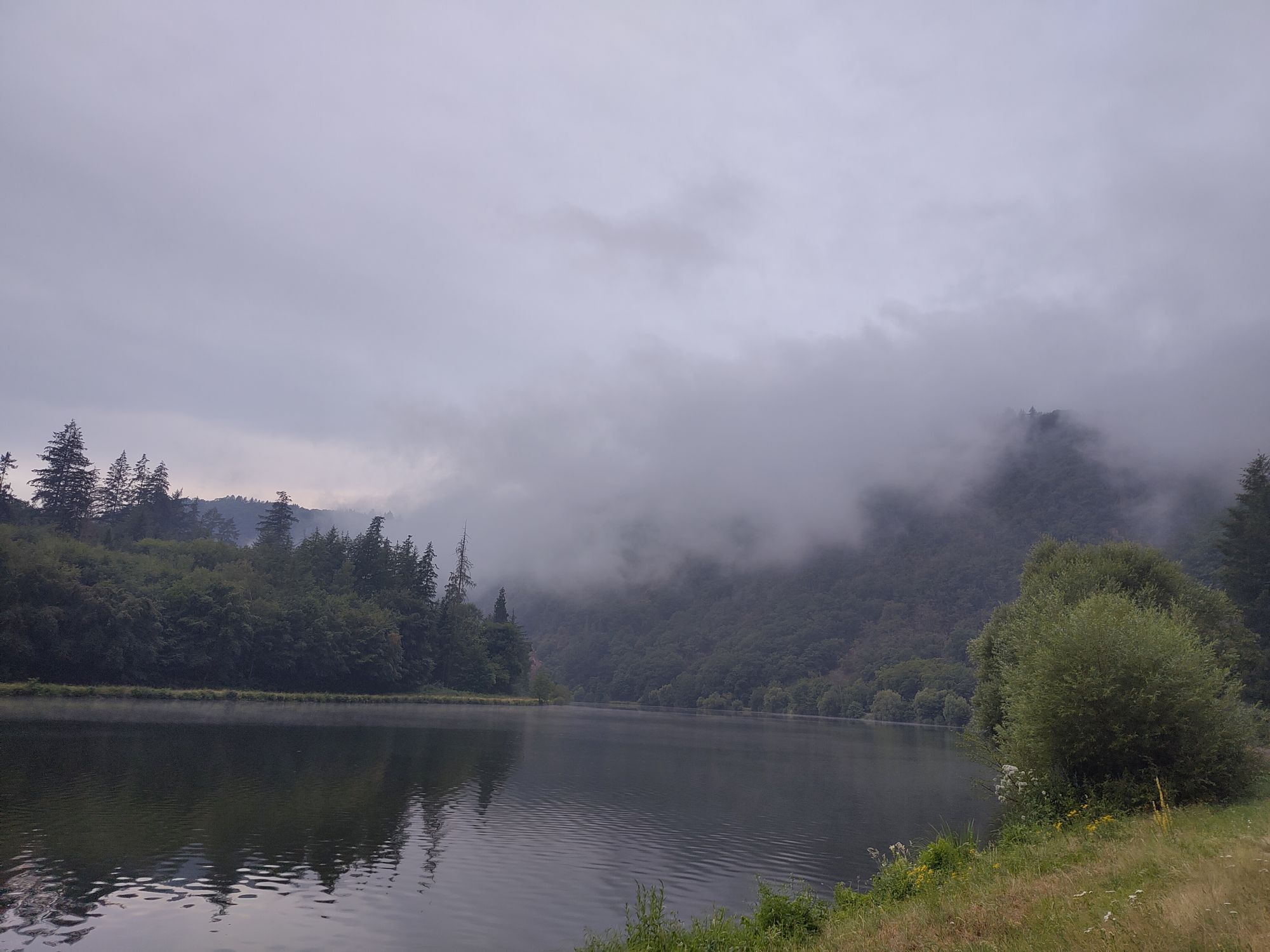
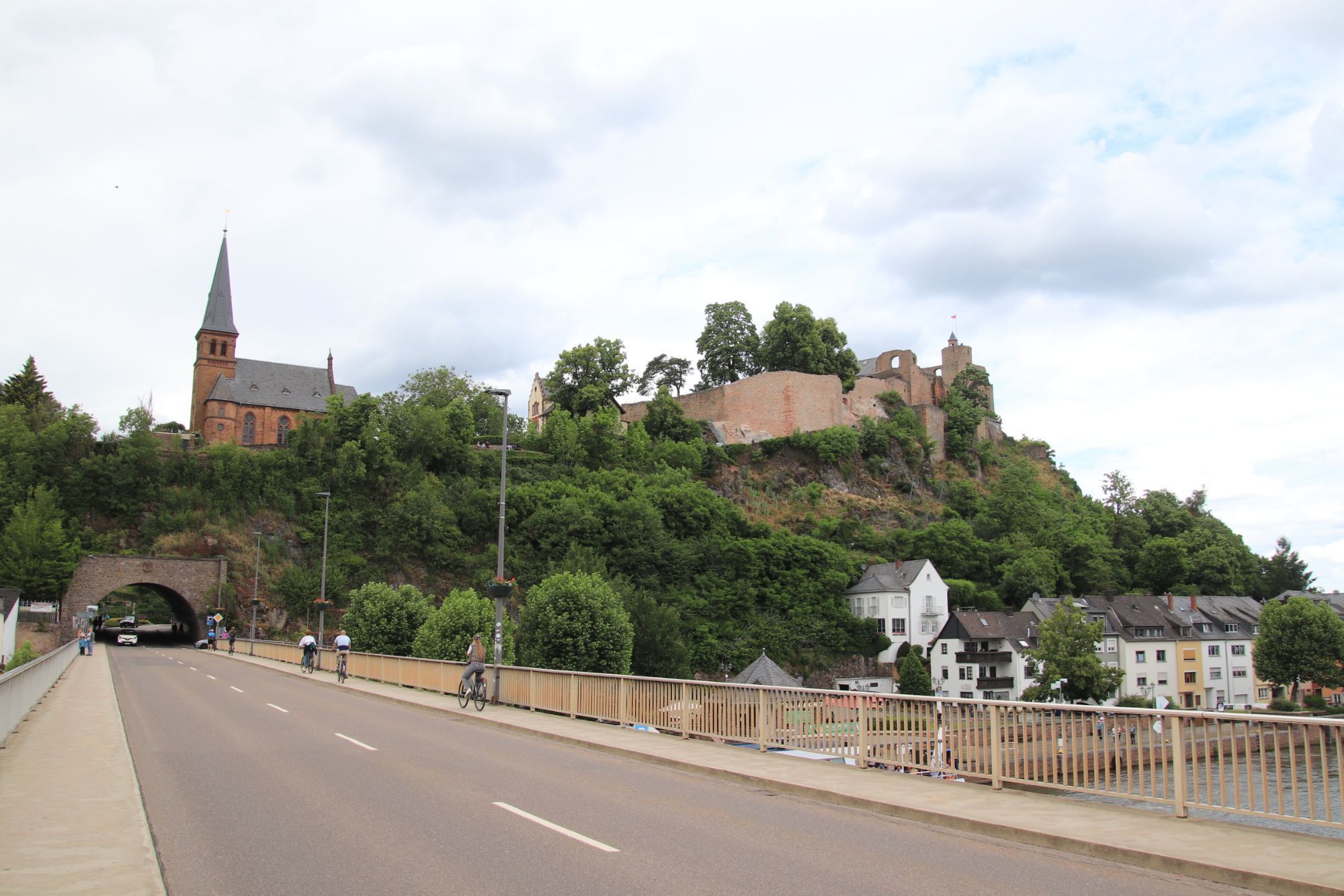
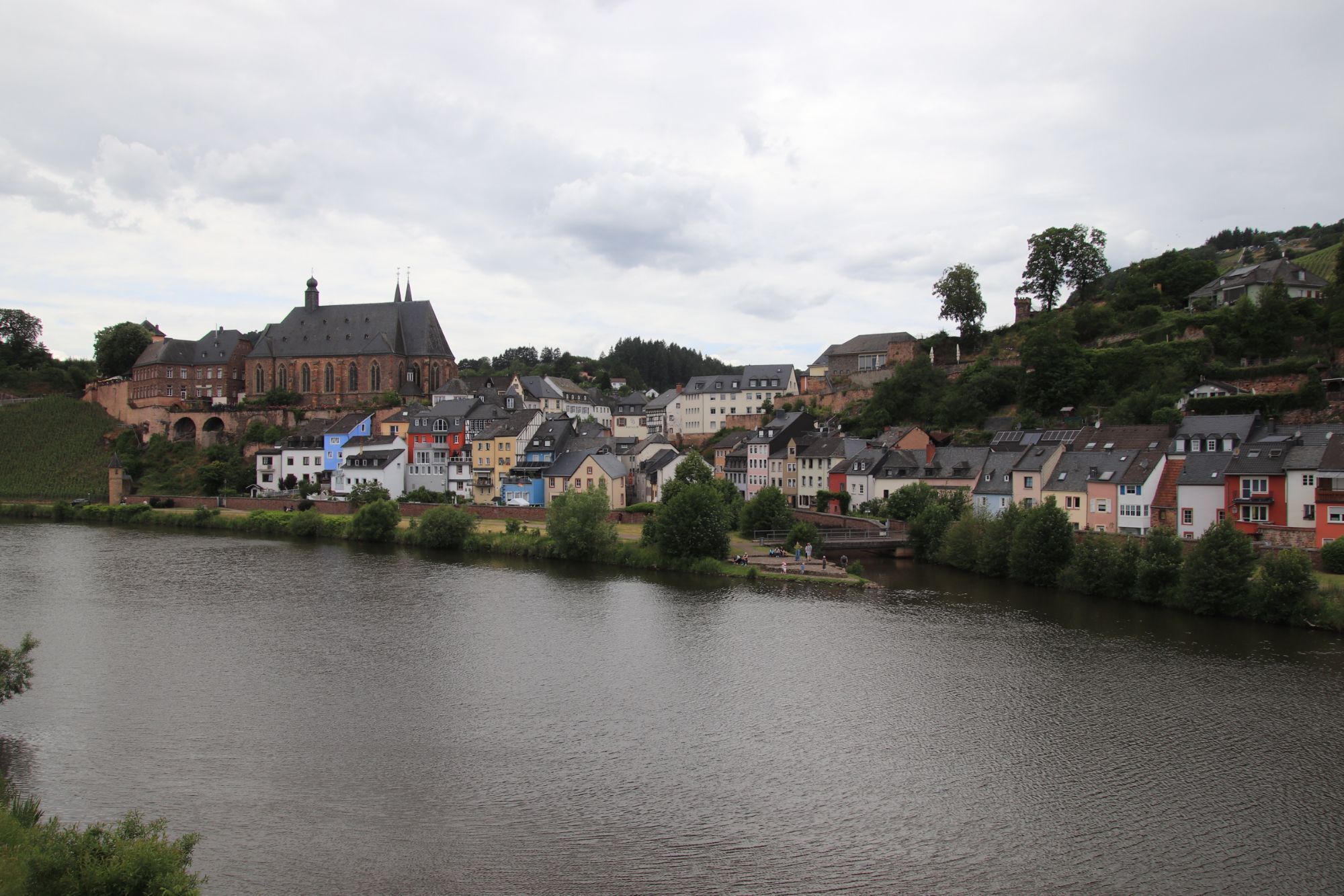
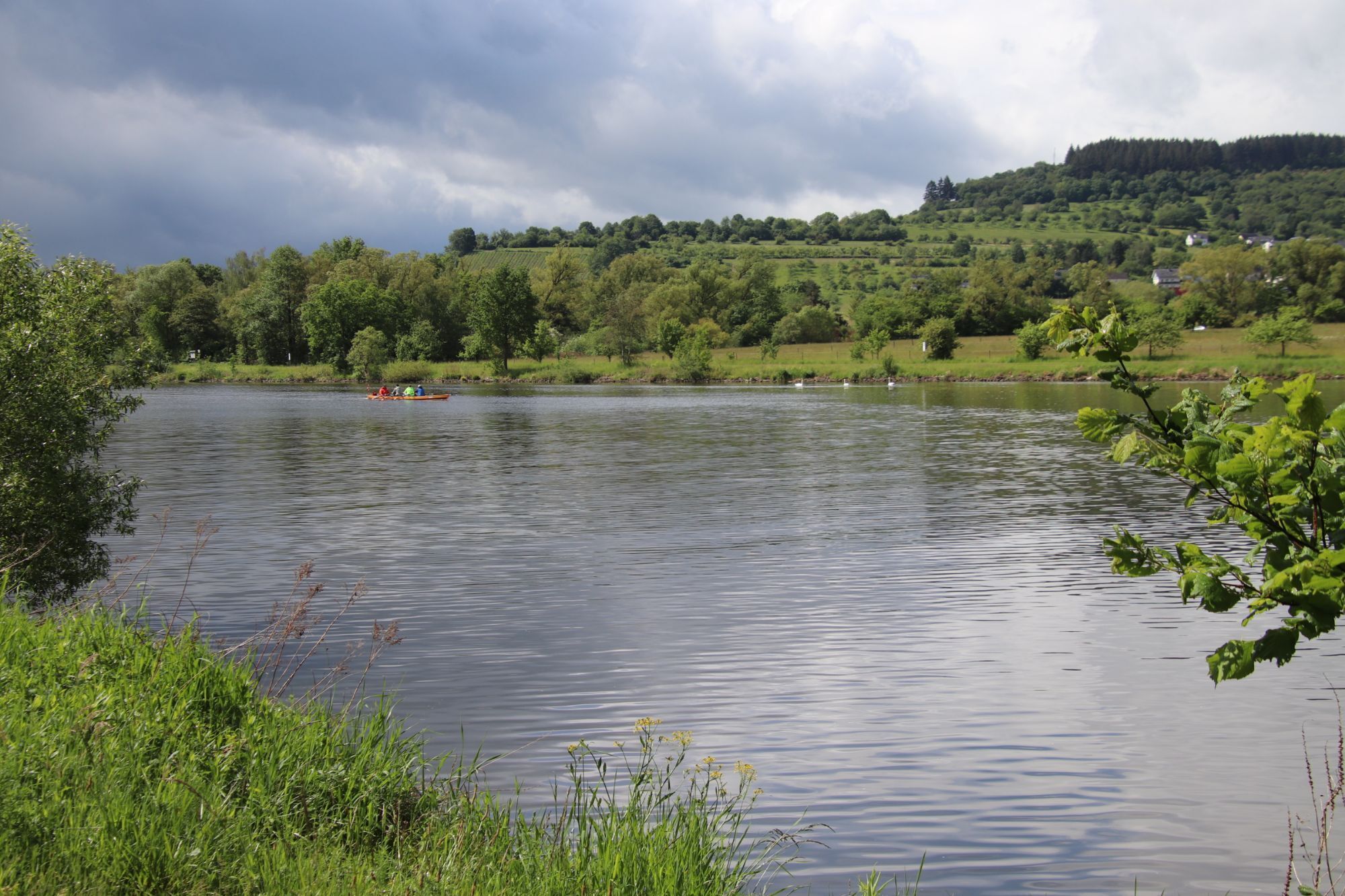
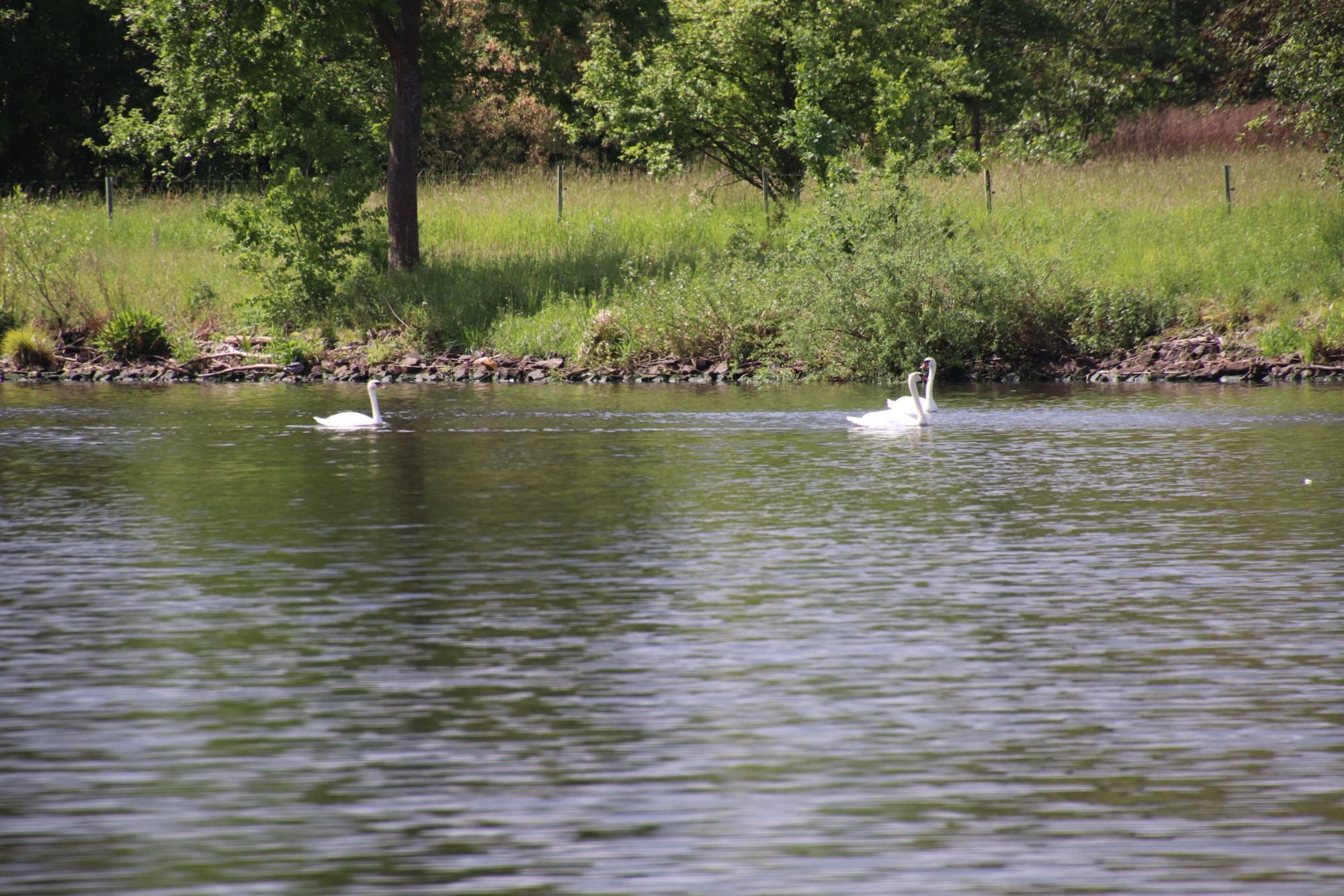
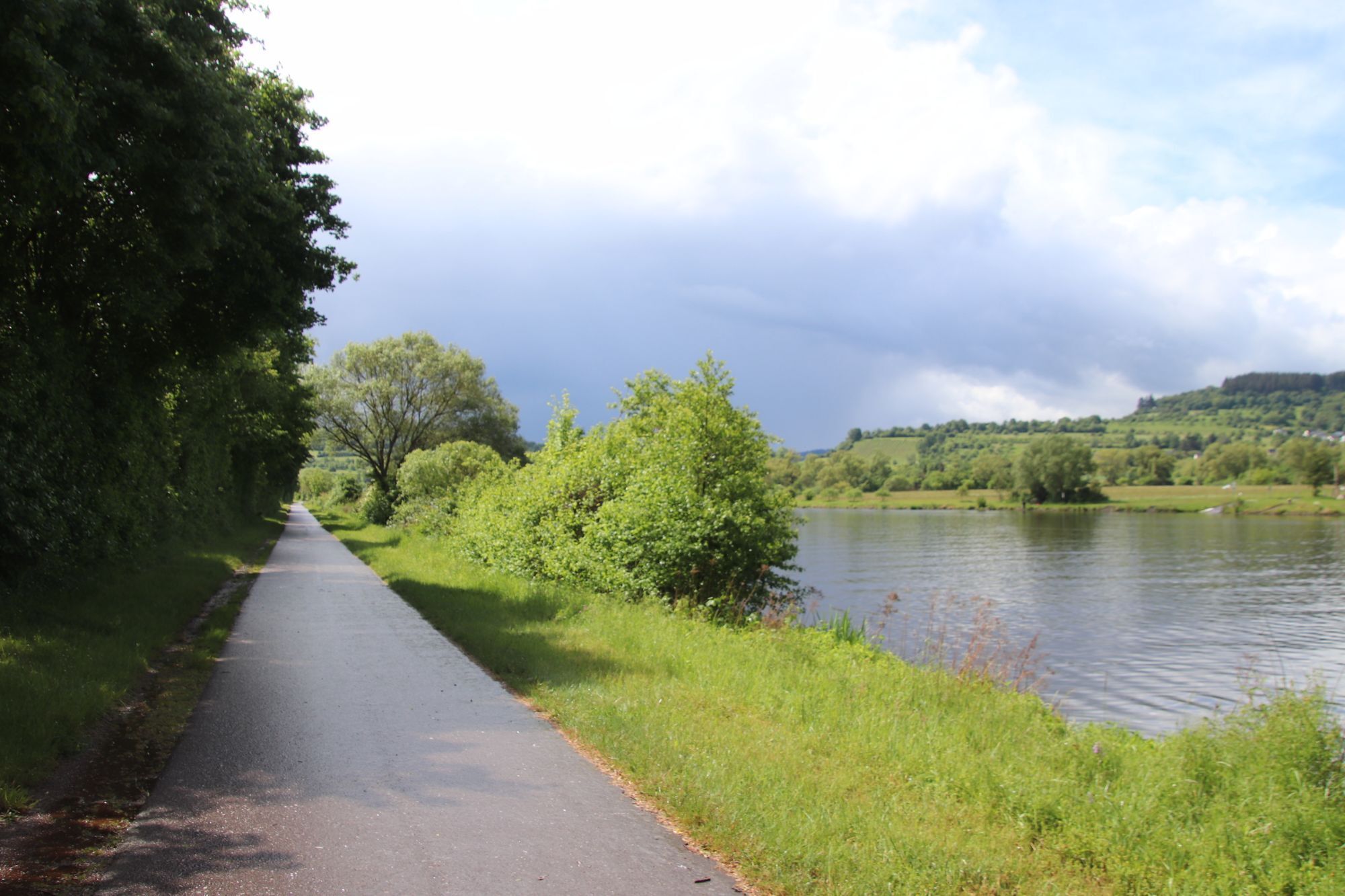
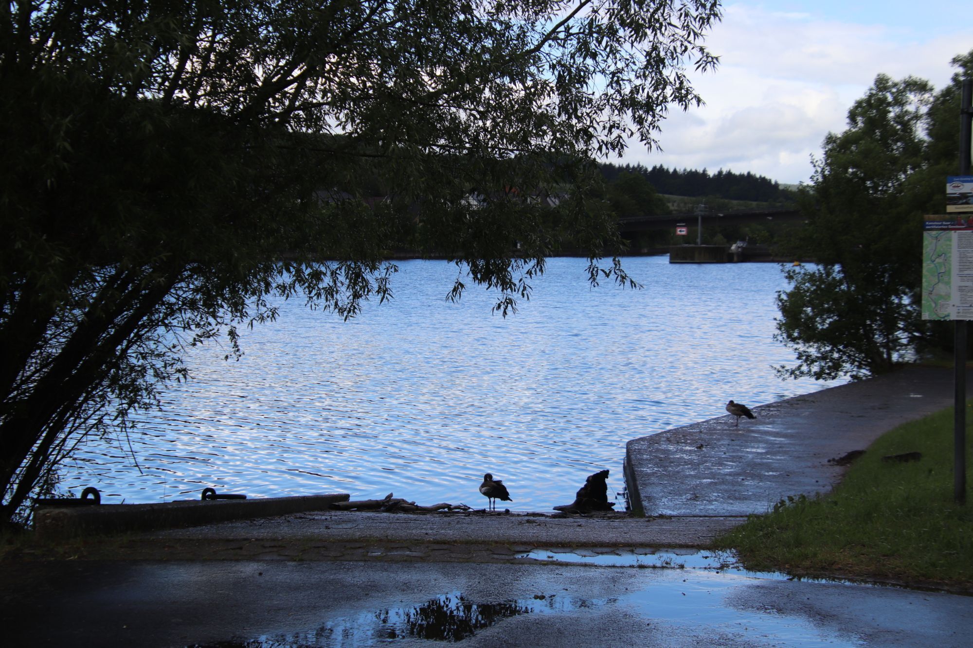
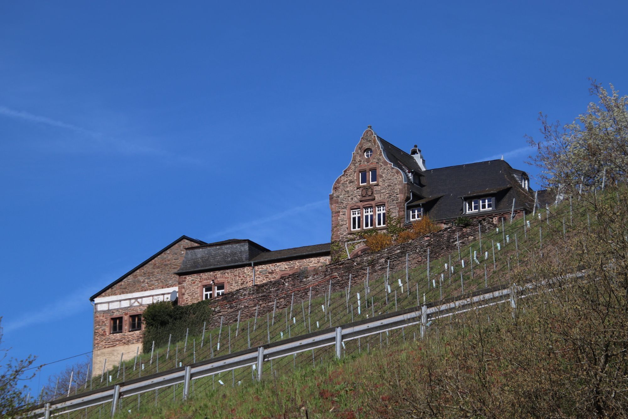
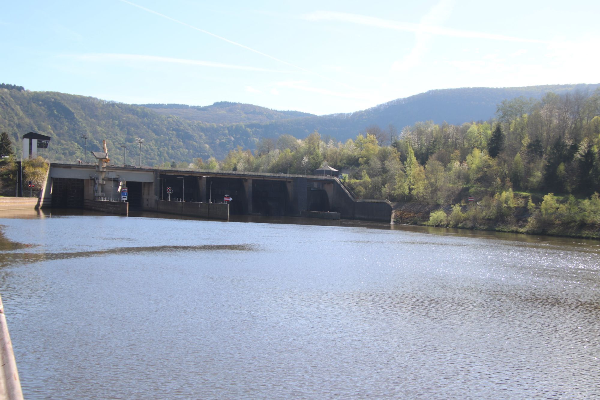
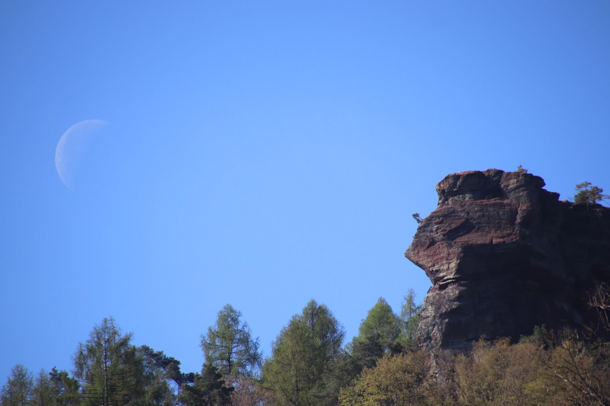
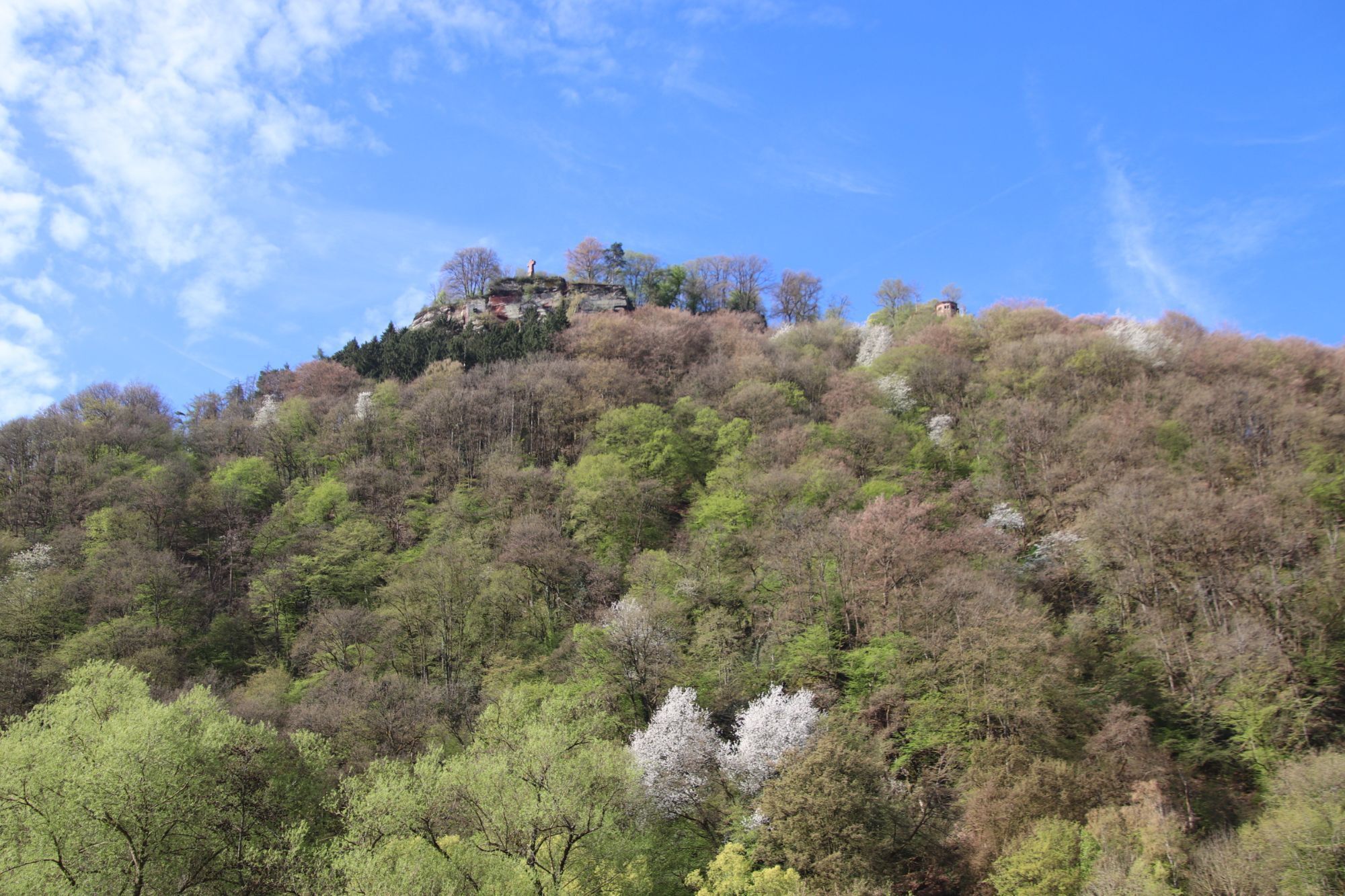
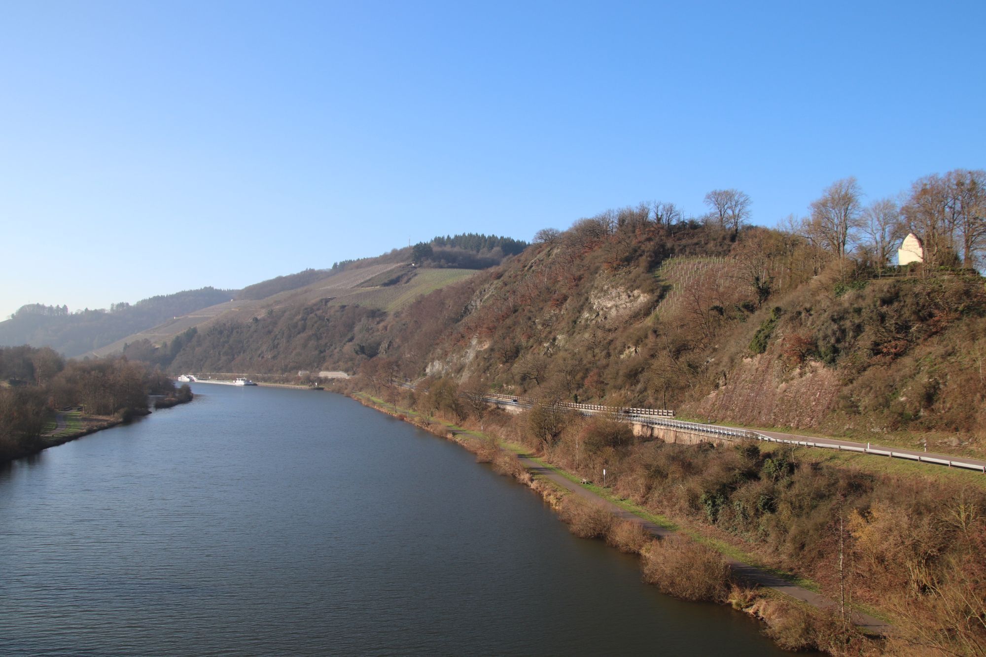
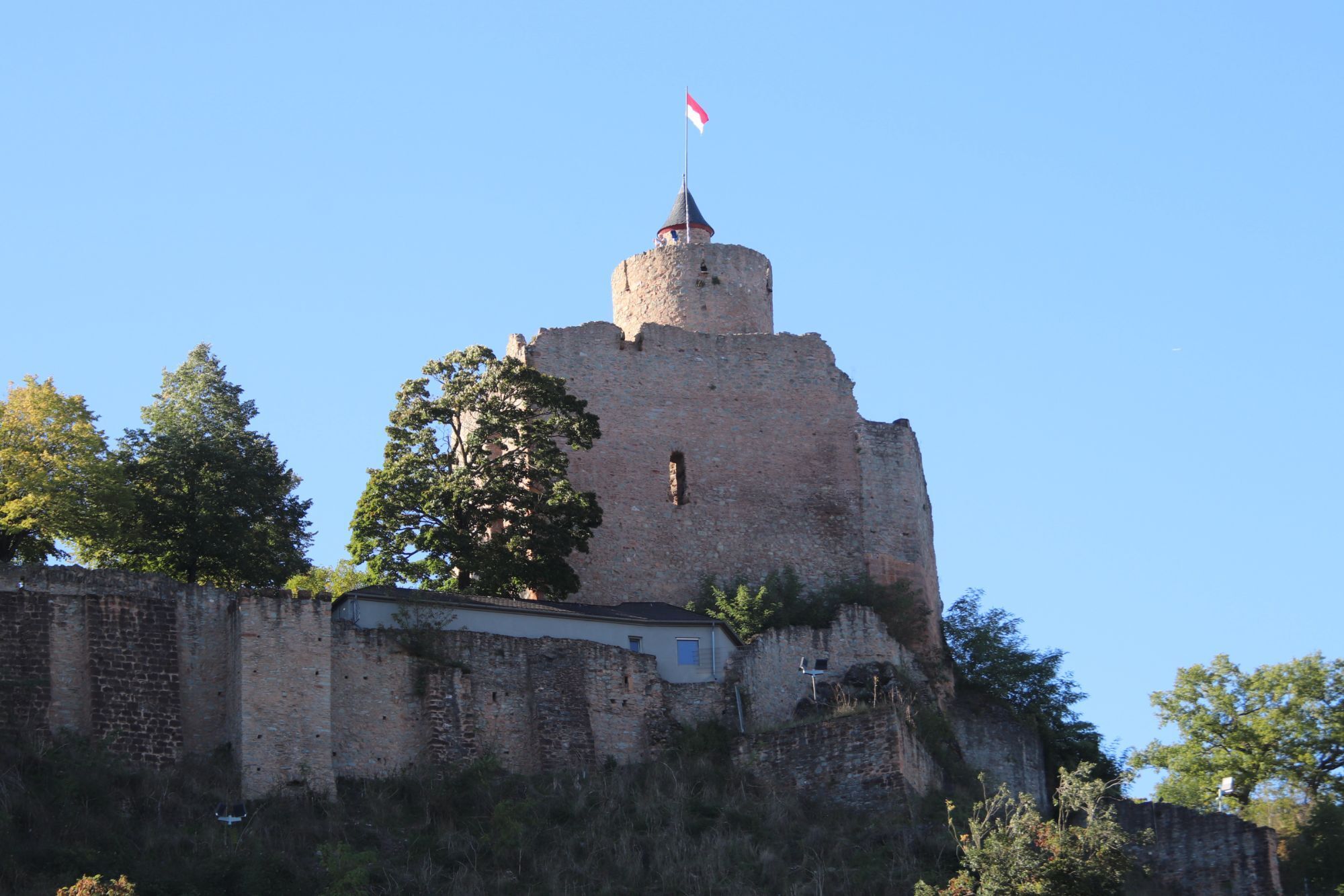
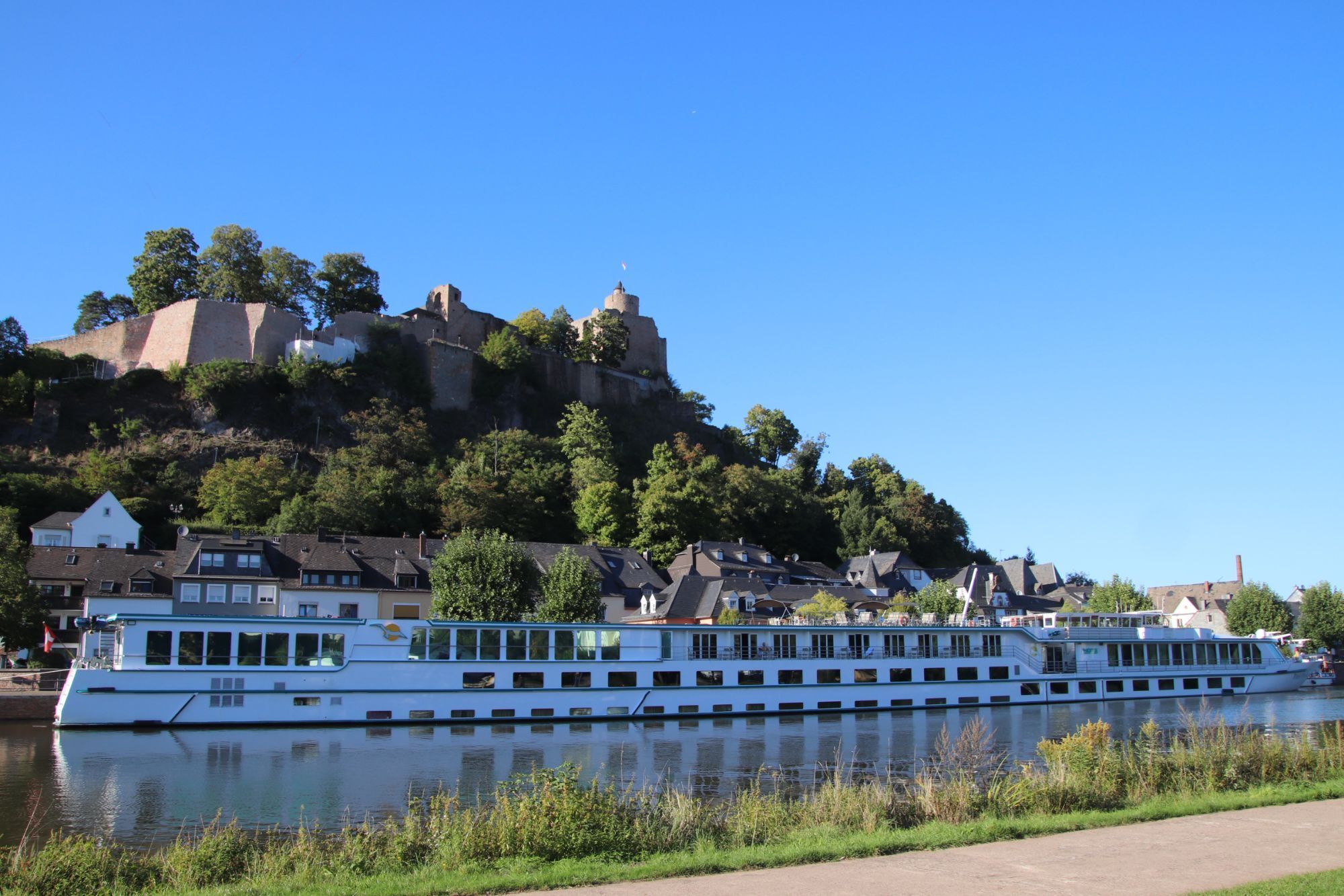
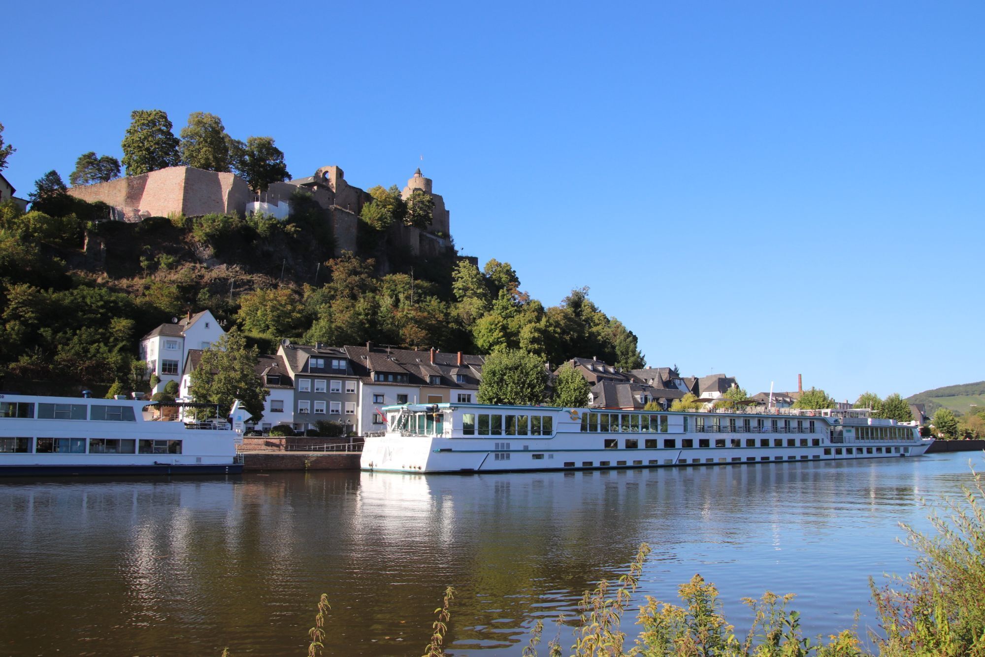

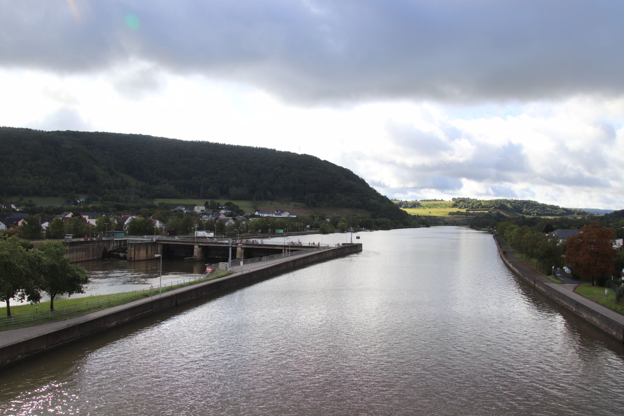
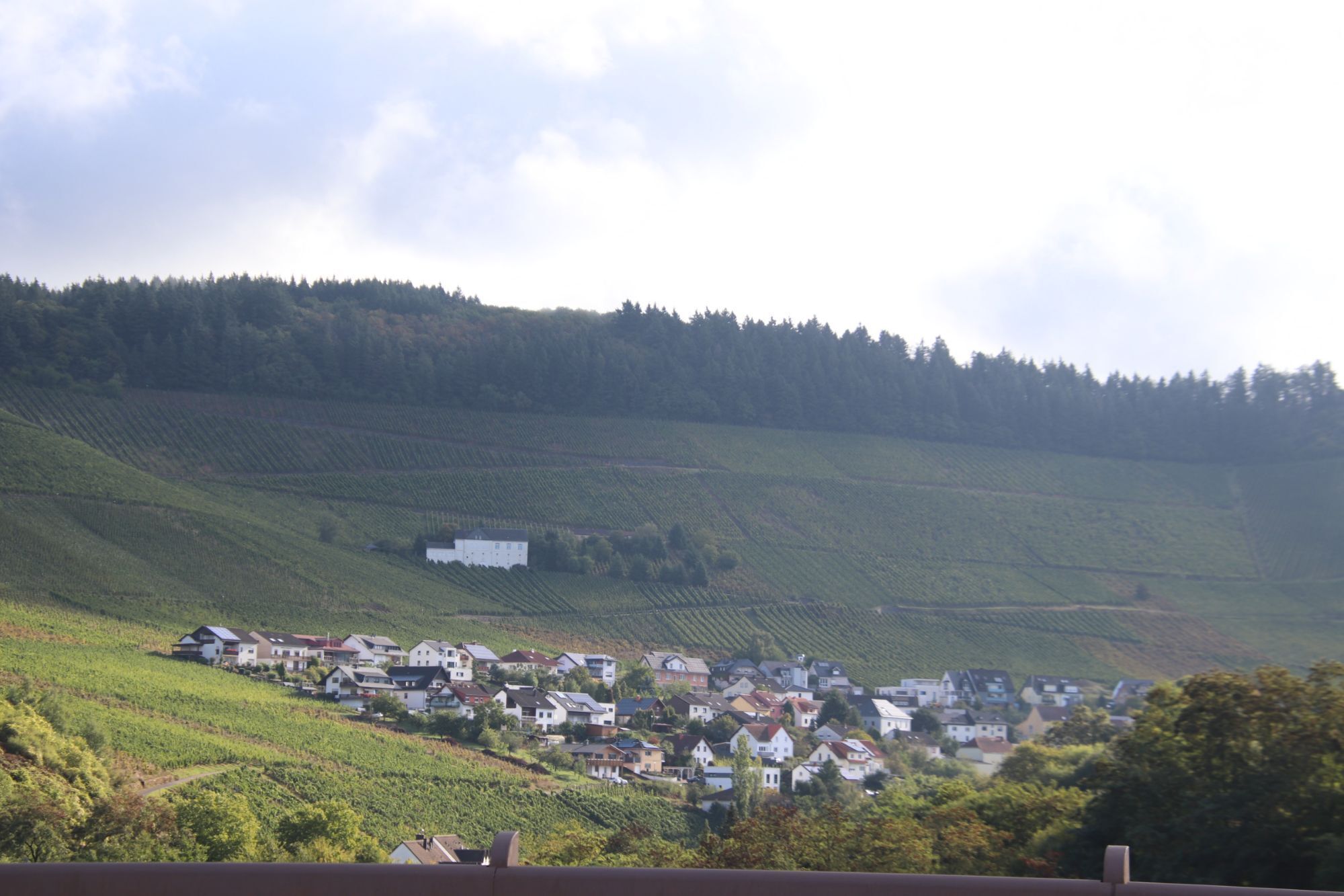
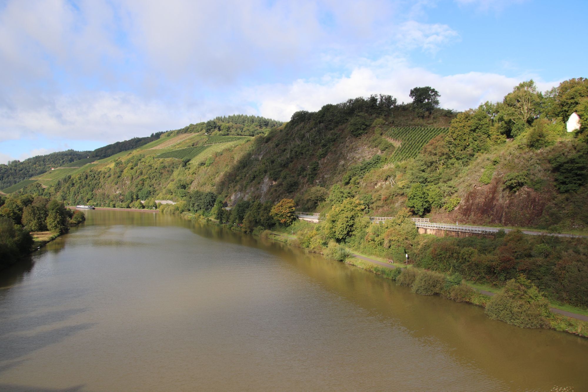
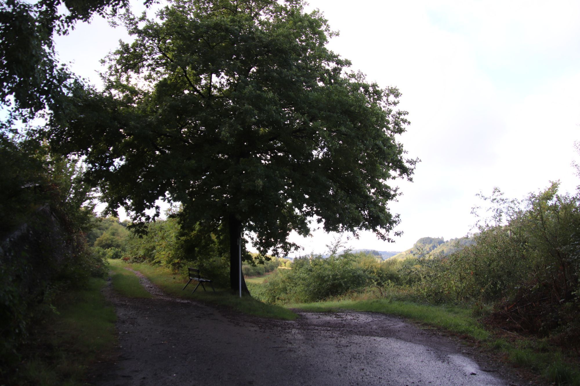
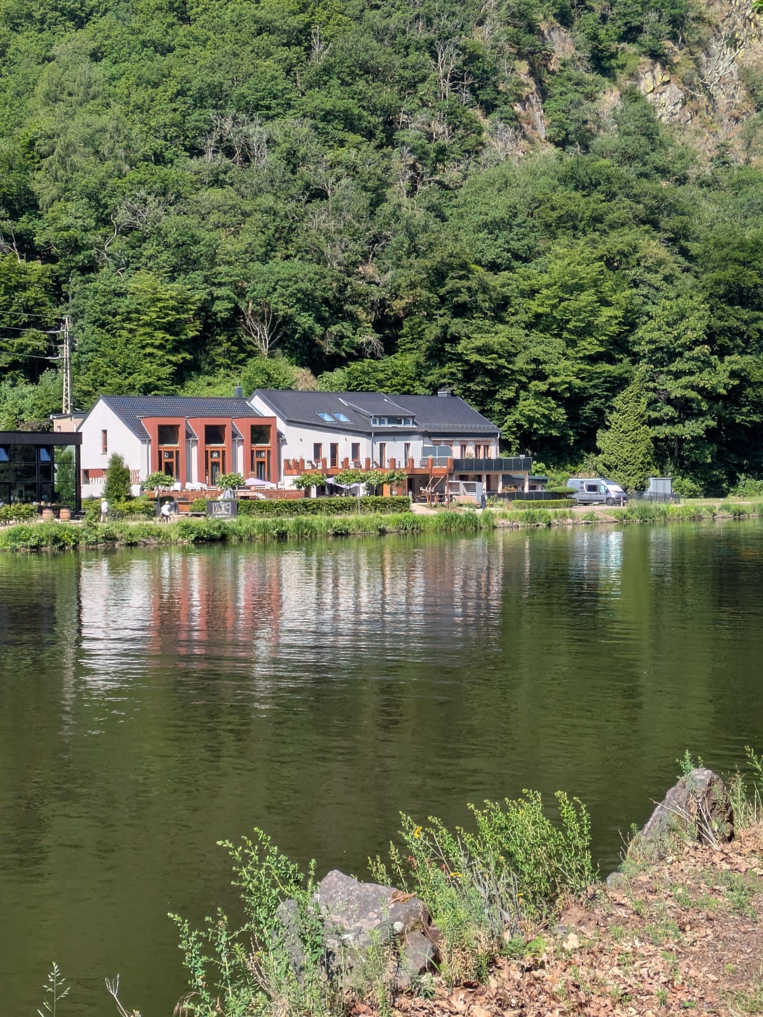
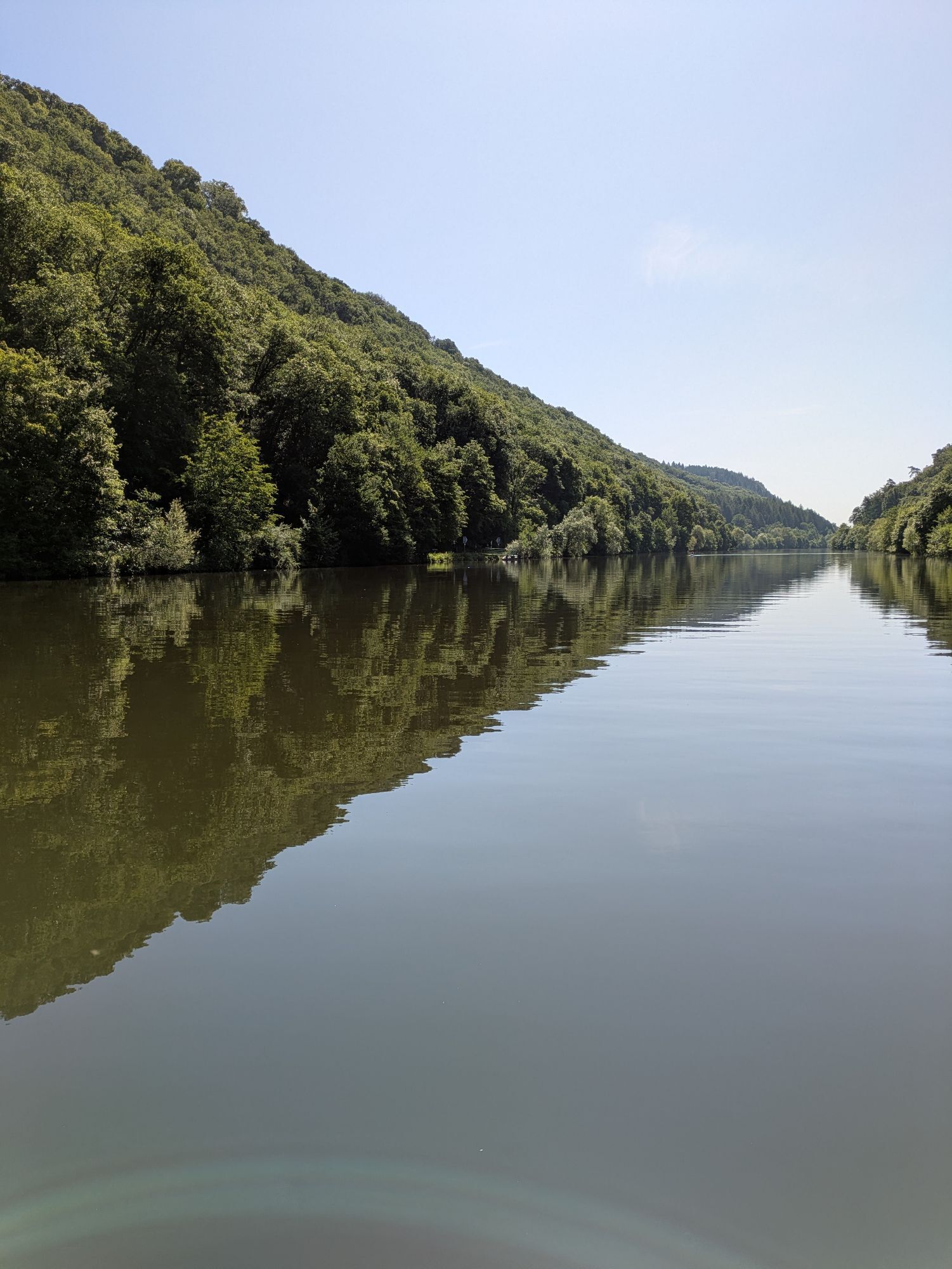
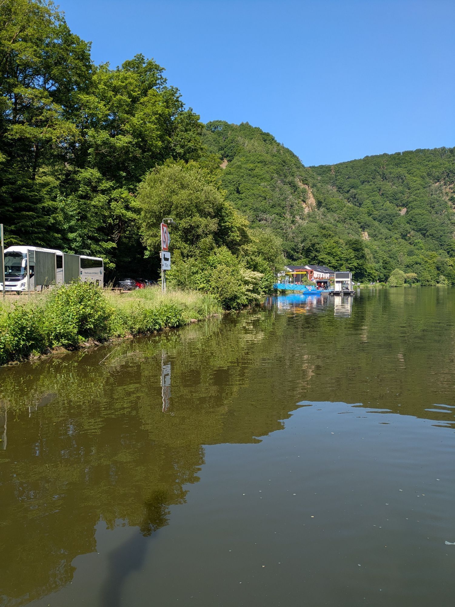
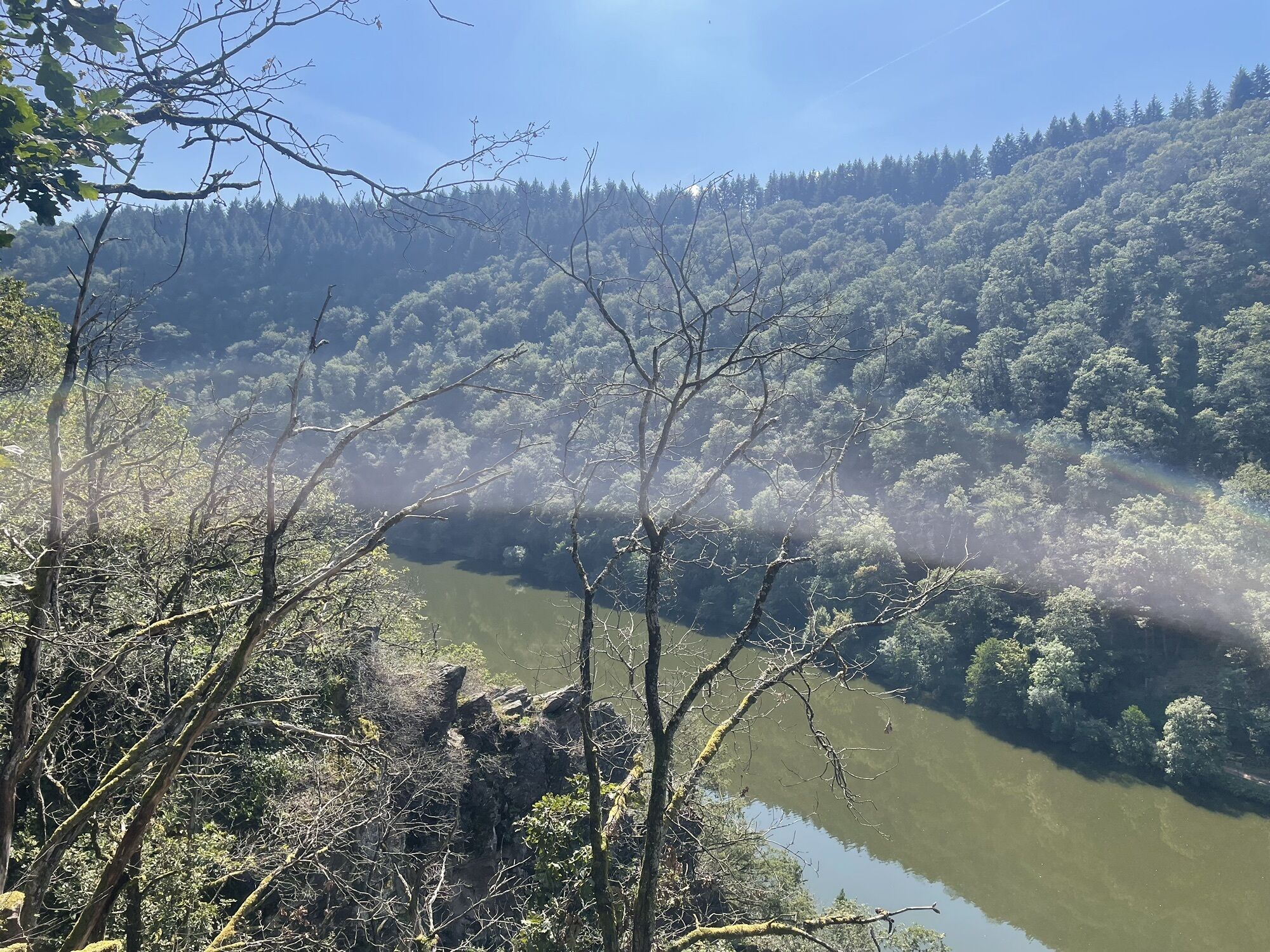
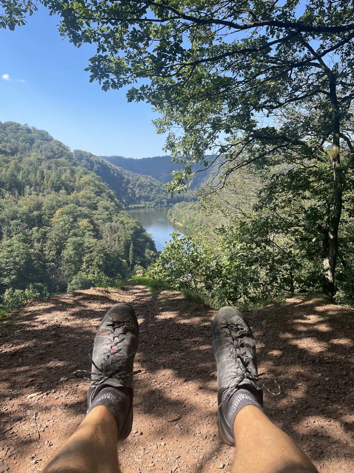
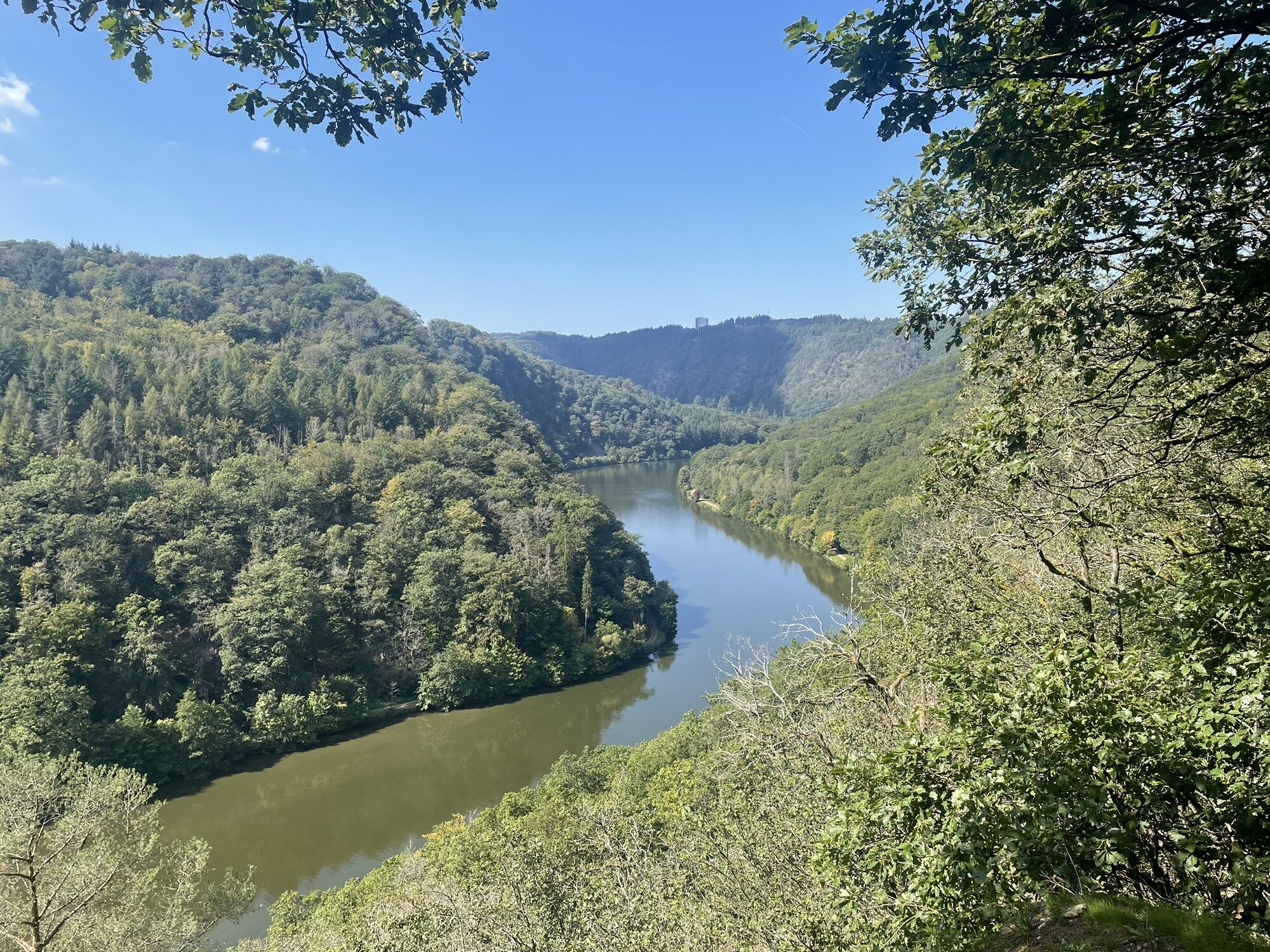
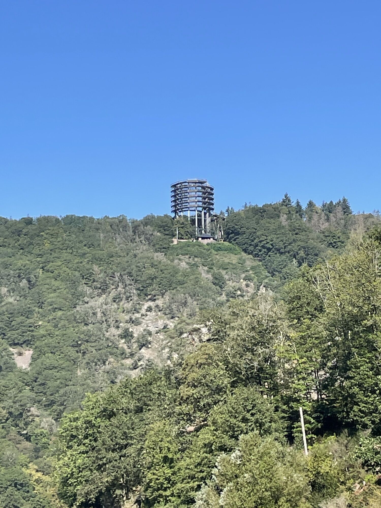
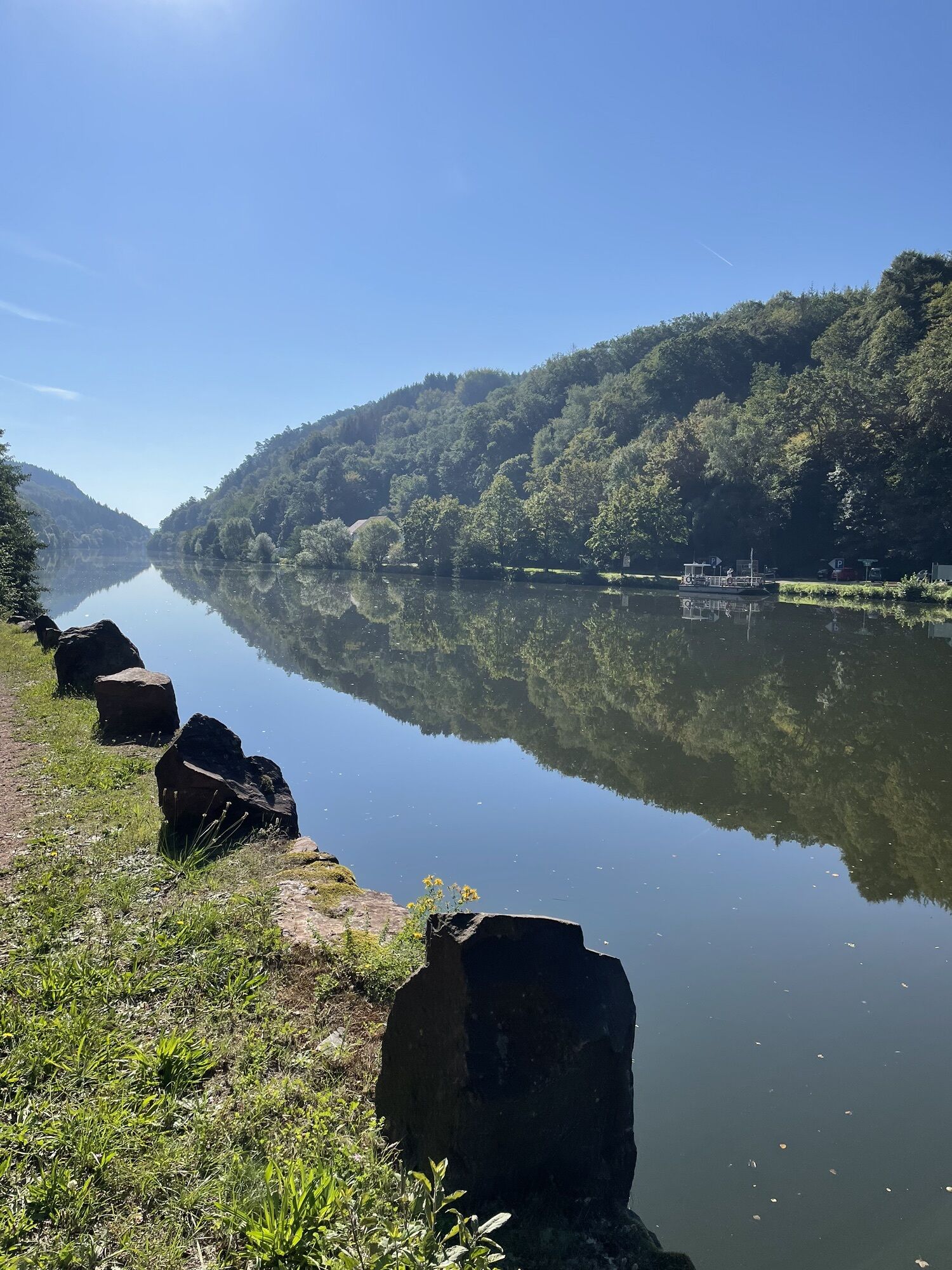
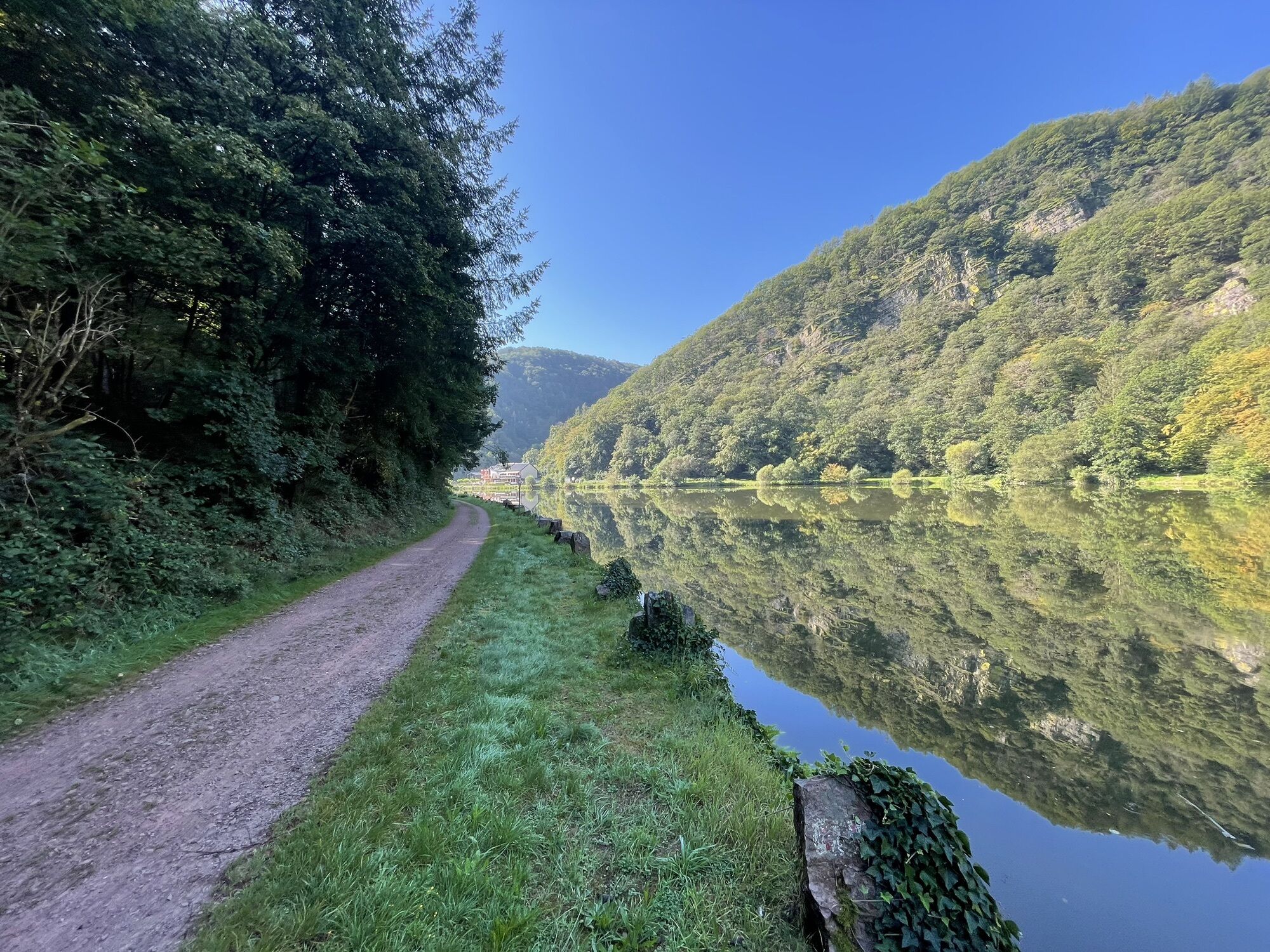
Far west in Rhineland-Palatinate, cycling enthusiasts will find the Saar Cycle Route, an attractive cycling route amidst a wonderful environment with extensive forests, bizarre rock formations, and sun-kissed...
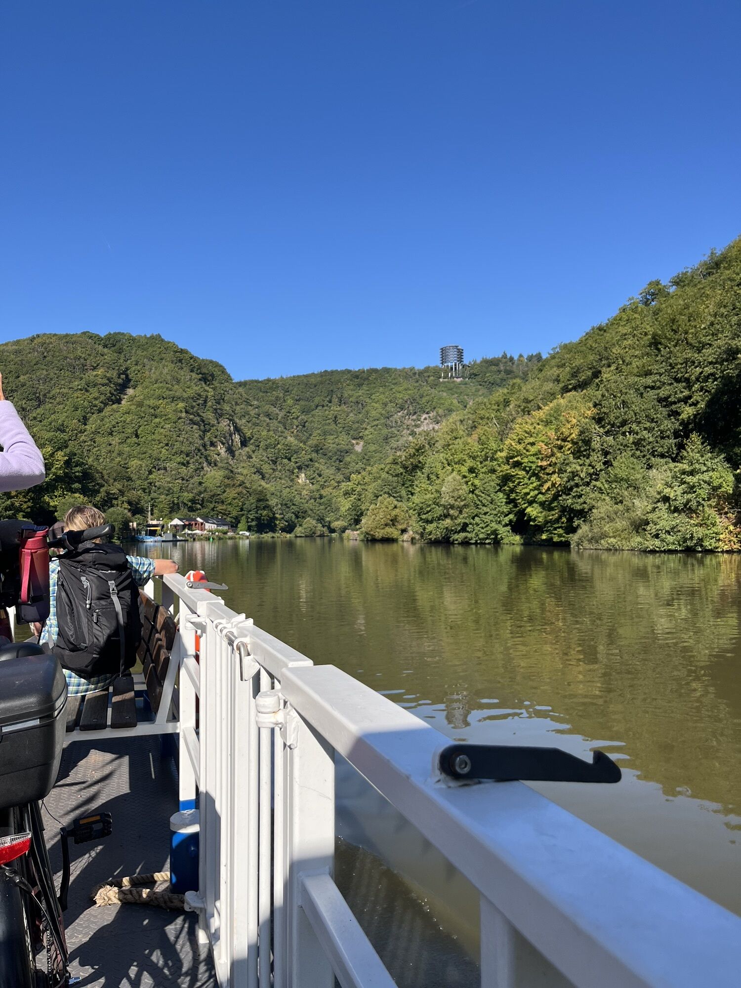
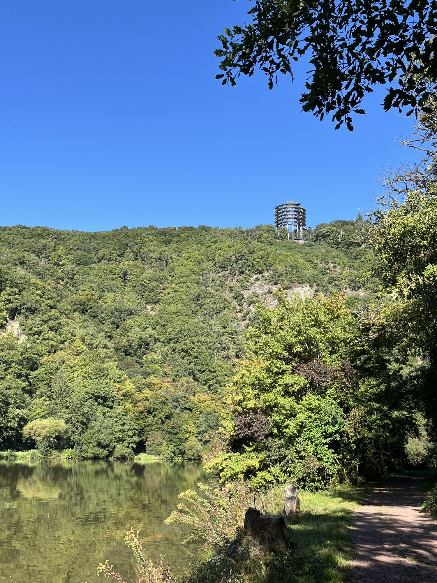
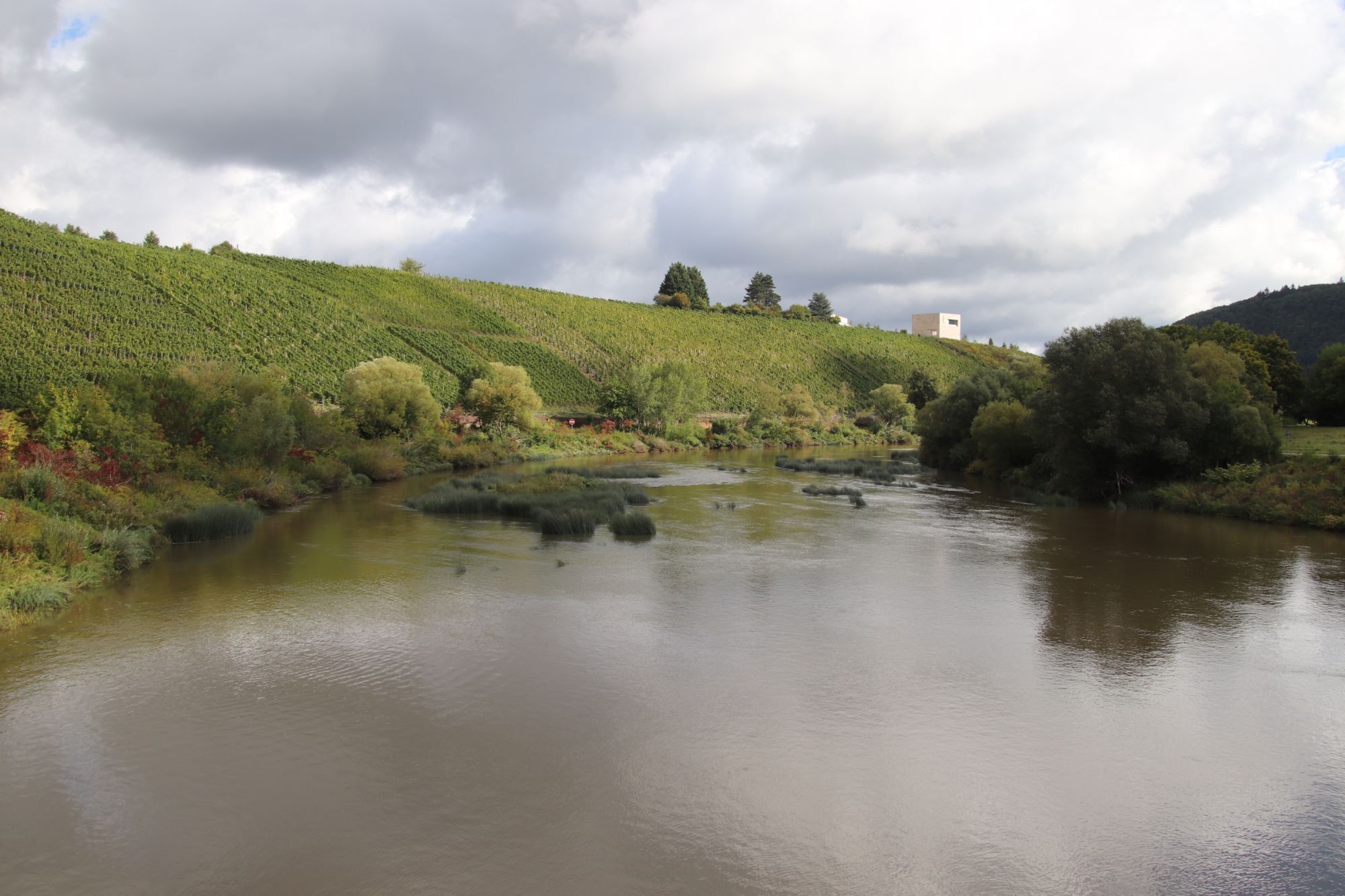
Far west in Rhineland-Palatinate, cycling enthusiasts will find the Saar Cycle Route, an attractive cycling route amidst a wonderful environment with extensive forests, bizarre rock formations, and sun-kissed vineyards.
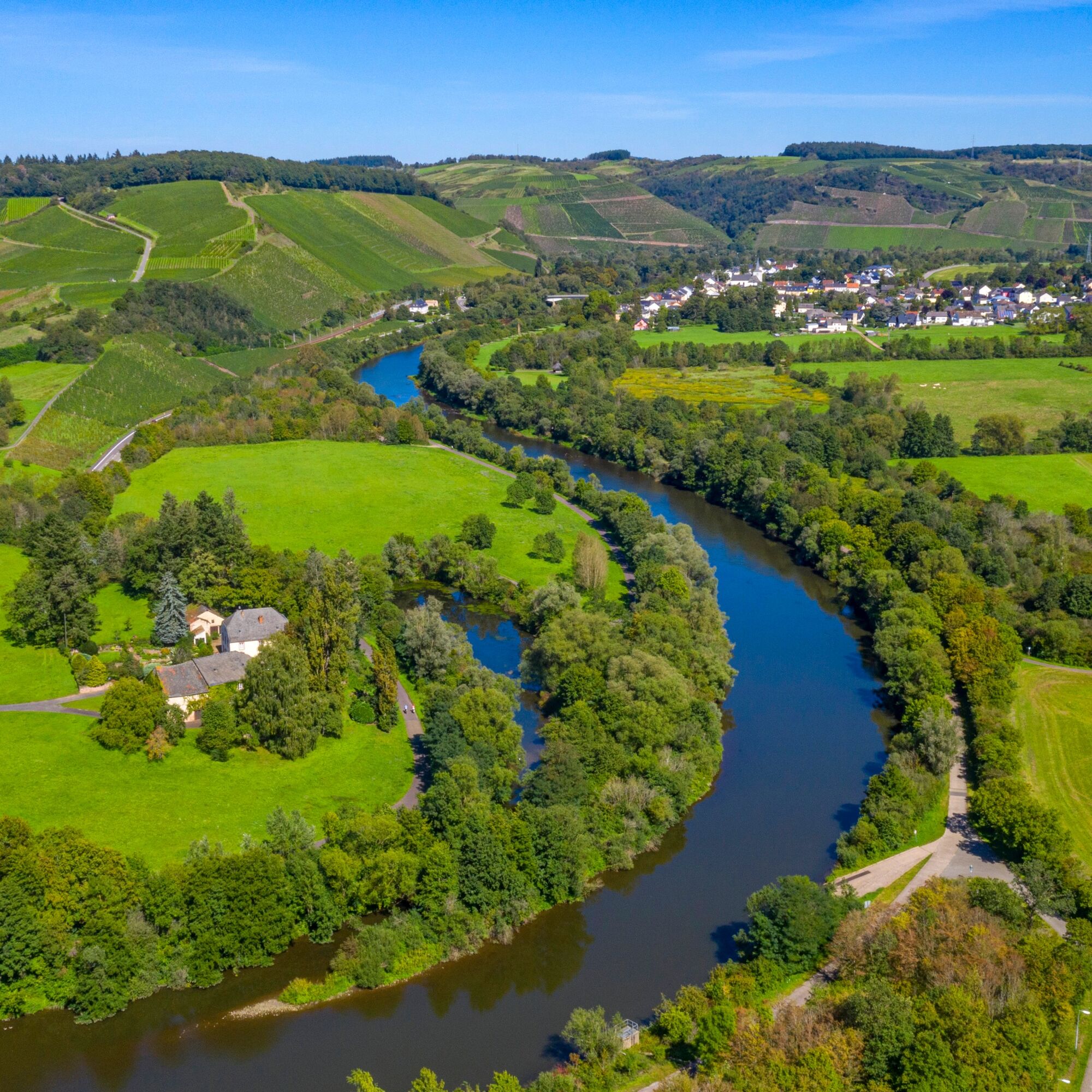
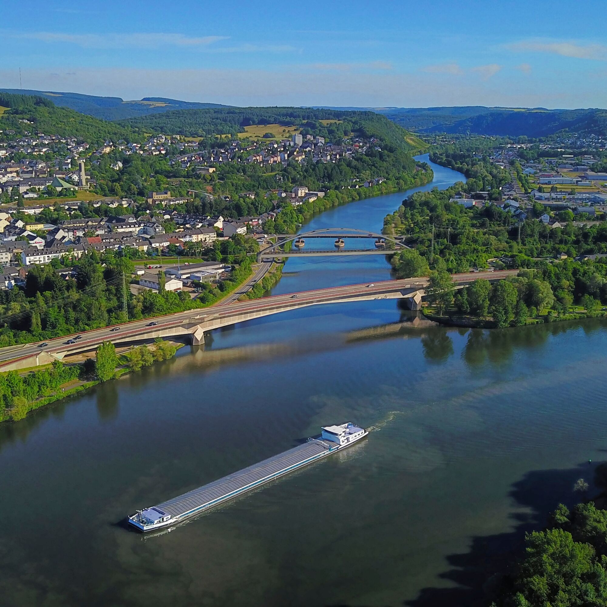
The Saar Cycle Route, with a total length of 115 km, runs the last 30 km in Rhineland-Palatinate, where it follows the Saar to its confluence with the Mosel.
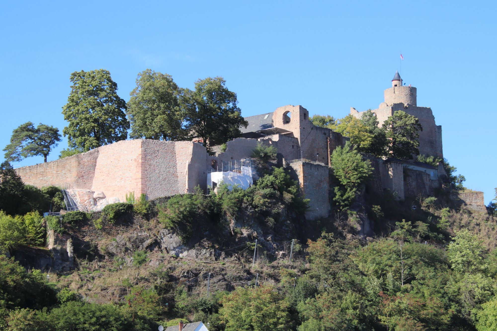
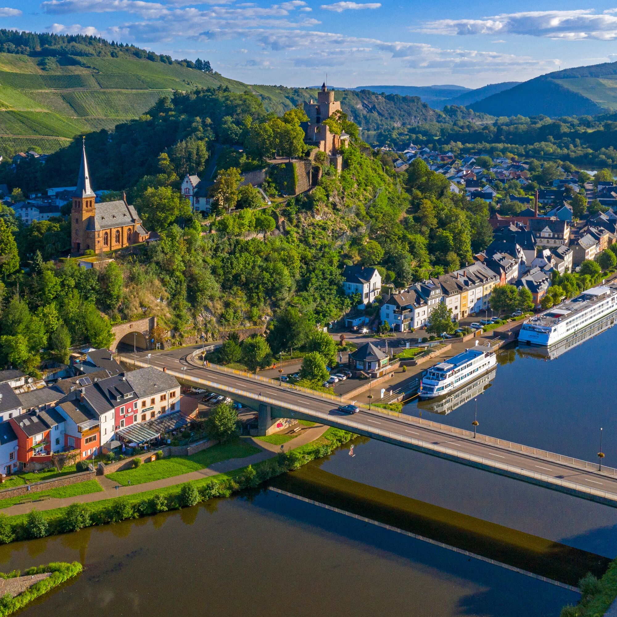
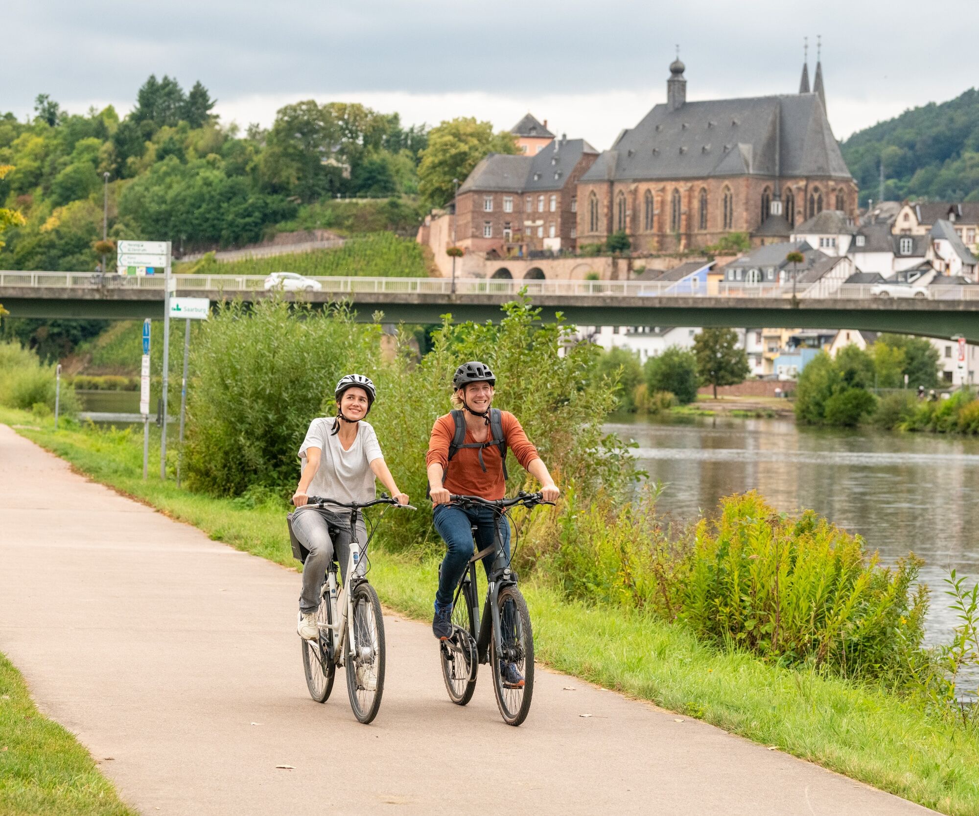
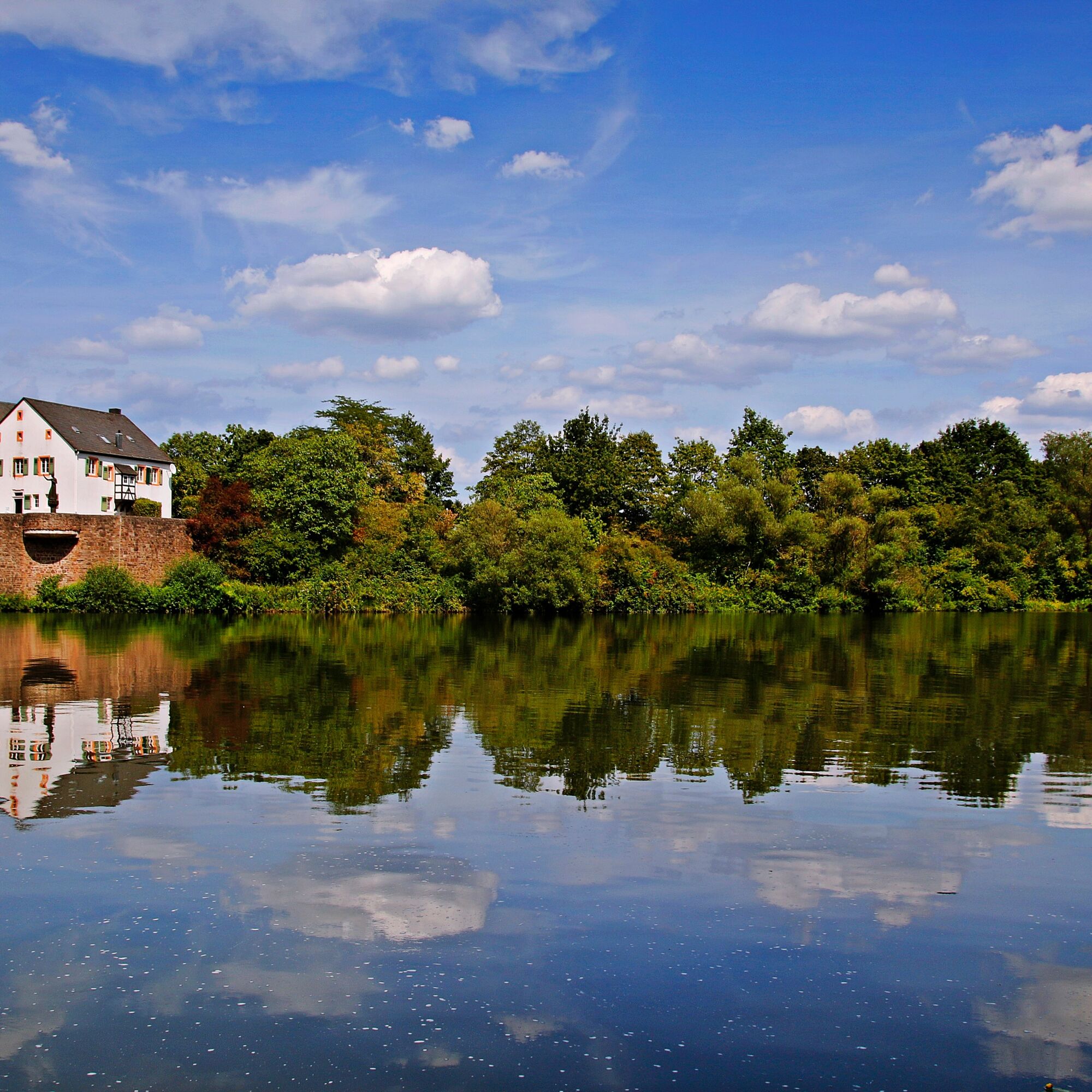
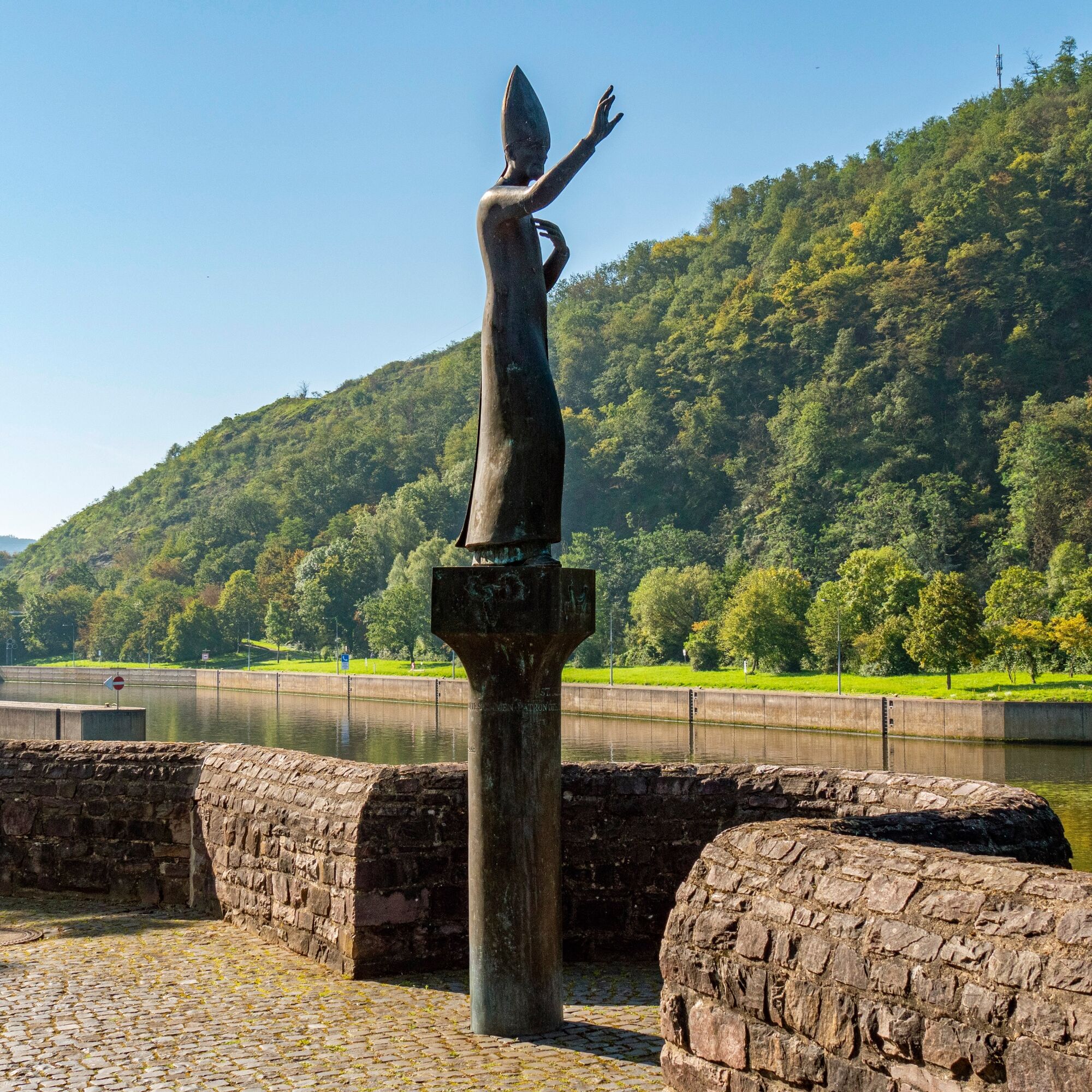
At the starting point Konz, the cyclist must decide whether to cycle on the left or right side of the Saar. If choosing the left riverbank, the route follows the Saar Canal; choosing the right bank follows the natural river course via Kanzem to Wiltingen. Embedded in vineyards, these romantic wine villages offer many resting places for those seeking peace. In Schoden, you reach the river fork which, together with the weir, was created during the Saar expansion into a major shipping channel. From Schoden, the route continues to Saarburg. The town of Saarburg impresses with its namesake ruin and romantic old town with marketplace and mill museum. Be fascinated by the waterfall of the Leukbach in the middle of the town.
Next is Serrig, a small wine-growing community also called the “Gateway to Saar Wine”. Passing the state monument Klause, located on a steep slope on the left side of the Saar, the route continues to Taben-Rodt. The landmark of Taben-Rodt is the Michael’s Chapel located on a hill. From here, there is a wonderful view over the idyllic Saar valley.
Those who want can continue the route along the Saar via Mettlach to Saarbrücken.

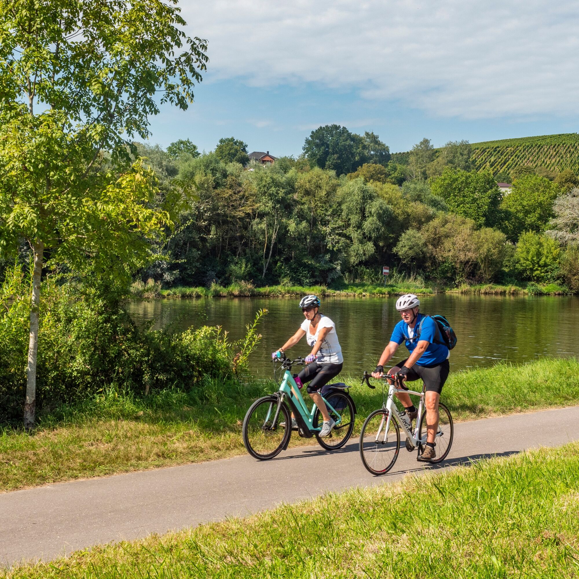
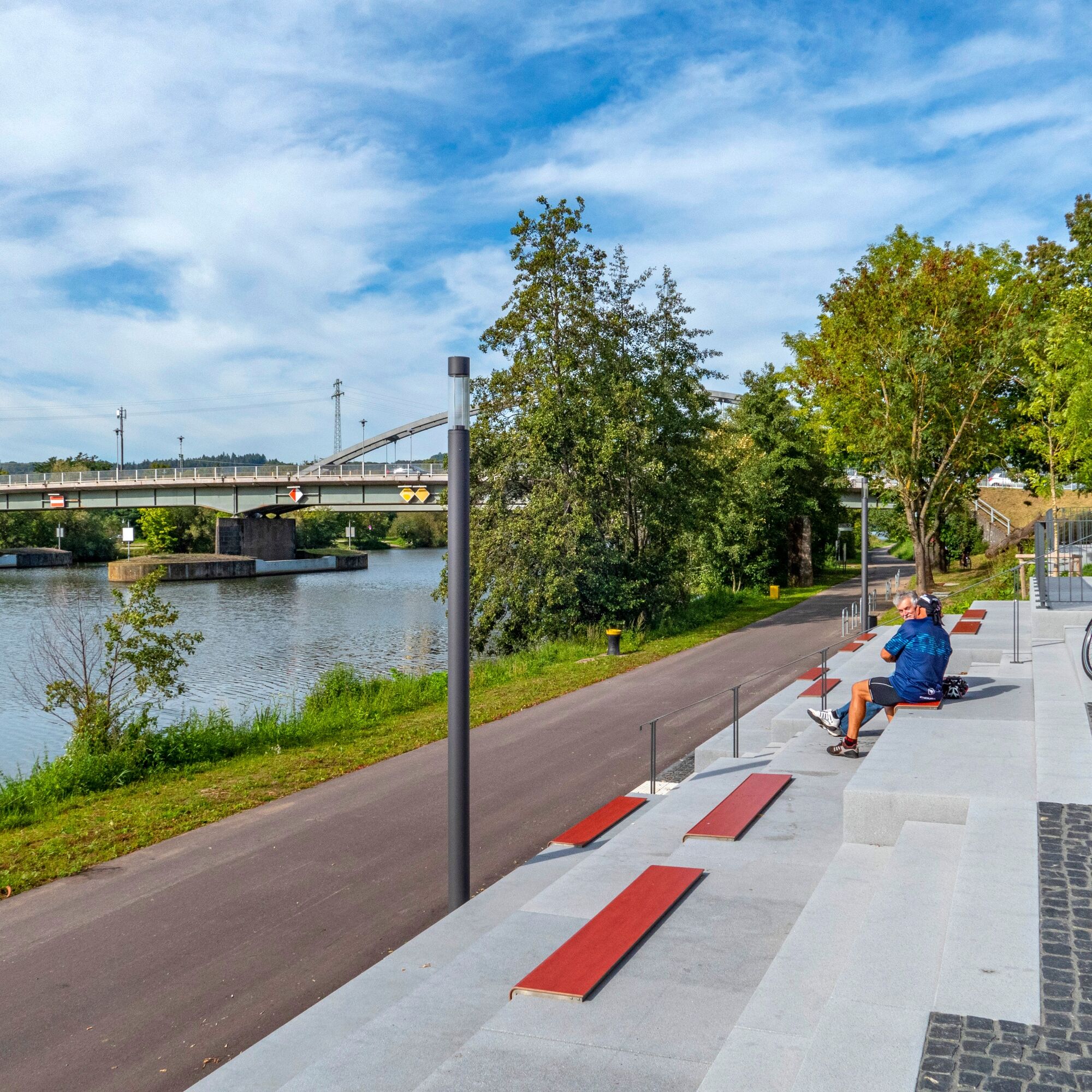

Requirement:Suitable for everyone without restrictions.
Route character: Entirely on dedicated paths and cycle paths. Exclusively asphalt surfaces (short exception: approx. 300 m south of Saarburg with gravel path and 500 m gravel stretch through a protected area).
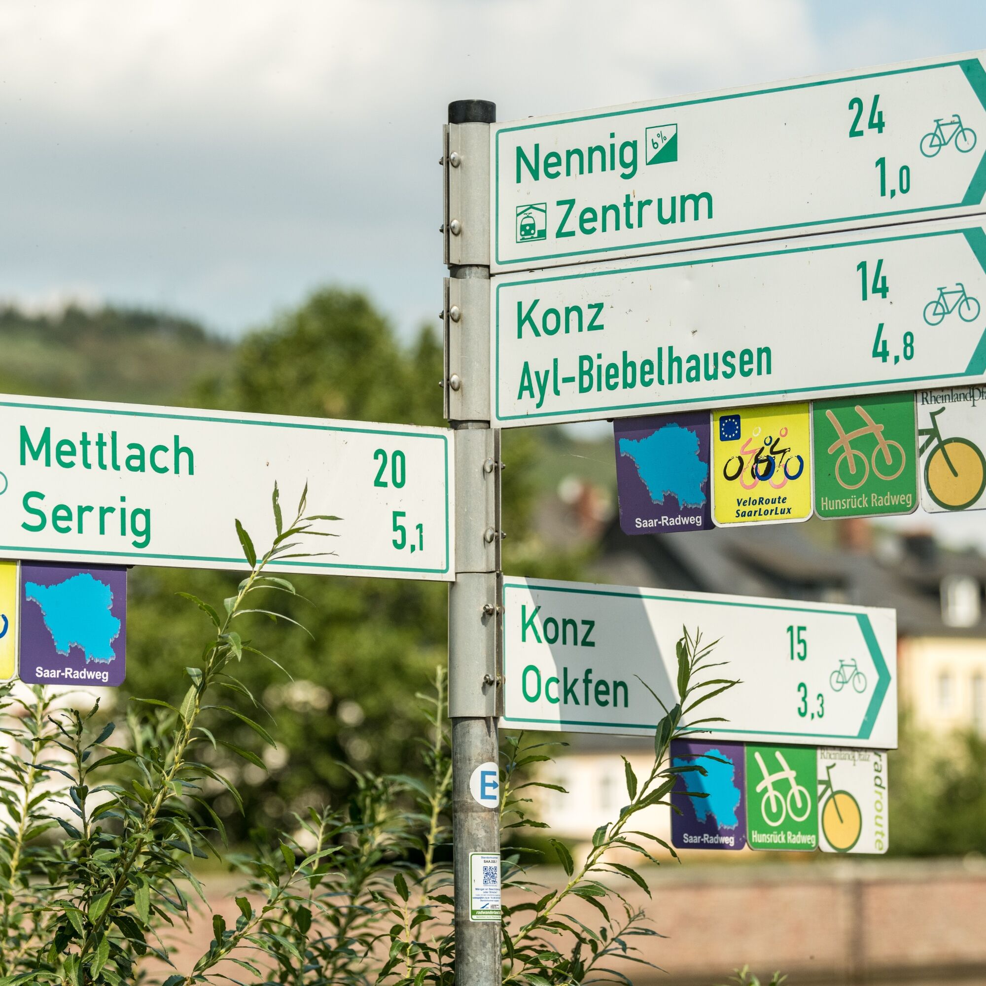
The route in the cycle network:The Saar Cycle Route is one of the 7 long-distance cycle routes in Rhineland-Palatinate and is directly connected in the cycle network to other regions:
To the south: continuation of the Saar Cycle Route via Sarreguemines to France Saarburg: start of the Hunsrück Cycle Route to the east and the Saargau Cycle Route to the west Konz: transition to the Mosel Cycle Route Parallel routing with the VeloRoute SaarLorLux (exception: section between Schoden and Kanzem)Source and more info: www.radwanderland.de
Tak
Tak
Rail line Trier - Konz - Saarbrücken with hourly service every day and bike transport on all trains.
In Konz: Upper Moselle line Trier - Konz - Perl
1
Mosellandtouristik GmbH
Kordelweg 1
54470 Bernkastel-Kues
Tel. +49 (0)6531/97330
info@mosellandtouristik.de
www.visitmosel.de
Suggestions, anomalies or defects? Contact us by email: radwege@lbm.rlp.de (www.radwanderland.de - responsible for infrastructure and route descriptions of the Rhineland-Palatinate section).
The audio tour "Listening points on the Saar Cycle Route" offers listening experiences for on the go (Listening tour app free in the Apple App Store or on Google Play)
Kamery internetowe z trasy

Popularne wycieczki w okolicy
- 4,4
Traumschleife Cloefpfad
średniWędrówka 8,02 km Tour an Festungsanlage u. Wasser
światłoWędrówka 5,09 km- 5,0
Der Bergener-Traumschleife
światłoWędrówka 11,6 km - 4,8
Traumschleife Wolfsweg
średniWędrówka 10,2 km Tour zum Saarpolygon
średniWędrówka 3,90 km- 5,0
Traumschleife Litermont Gipfeltour
średniWędrówka 10,6 km - 5,0
Saarschleife Tafeltour
ciężkiWędrówka 16,4 km City walking route Saarlouis
światłoWędrówka 3,07 km- 4,0
Montclair Tafeltour 01.08.2021
światłoWędrówka 9,17 km - 4,2
Traumschleife Vaubansteig
ciężkiWędrówka 12,1 km
Wędrówki i tropienie


Nie przegap ofert i inspiracji na następne wakacje
Twój adres e-mail została dodana do listy mailingowej.





