



Short route to Tournefort: Le Pic Charvet

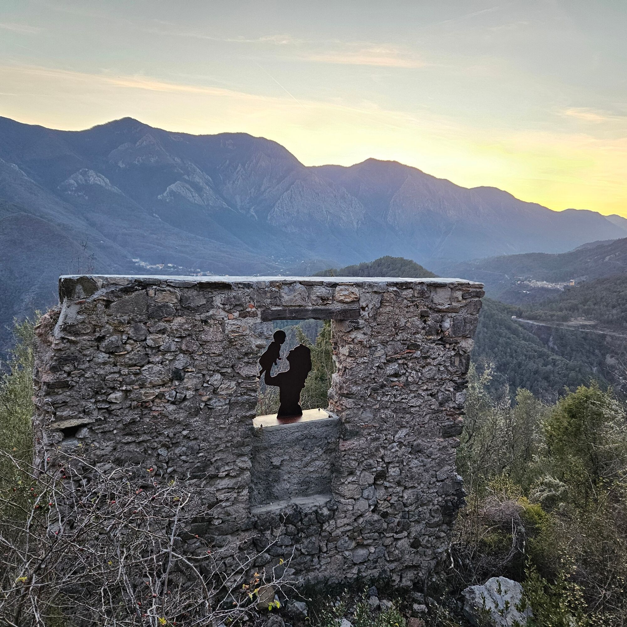
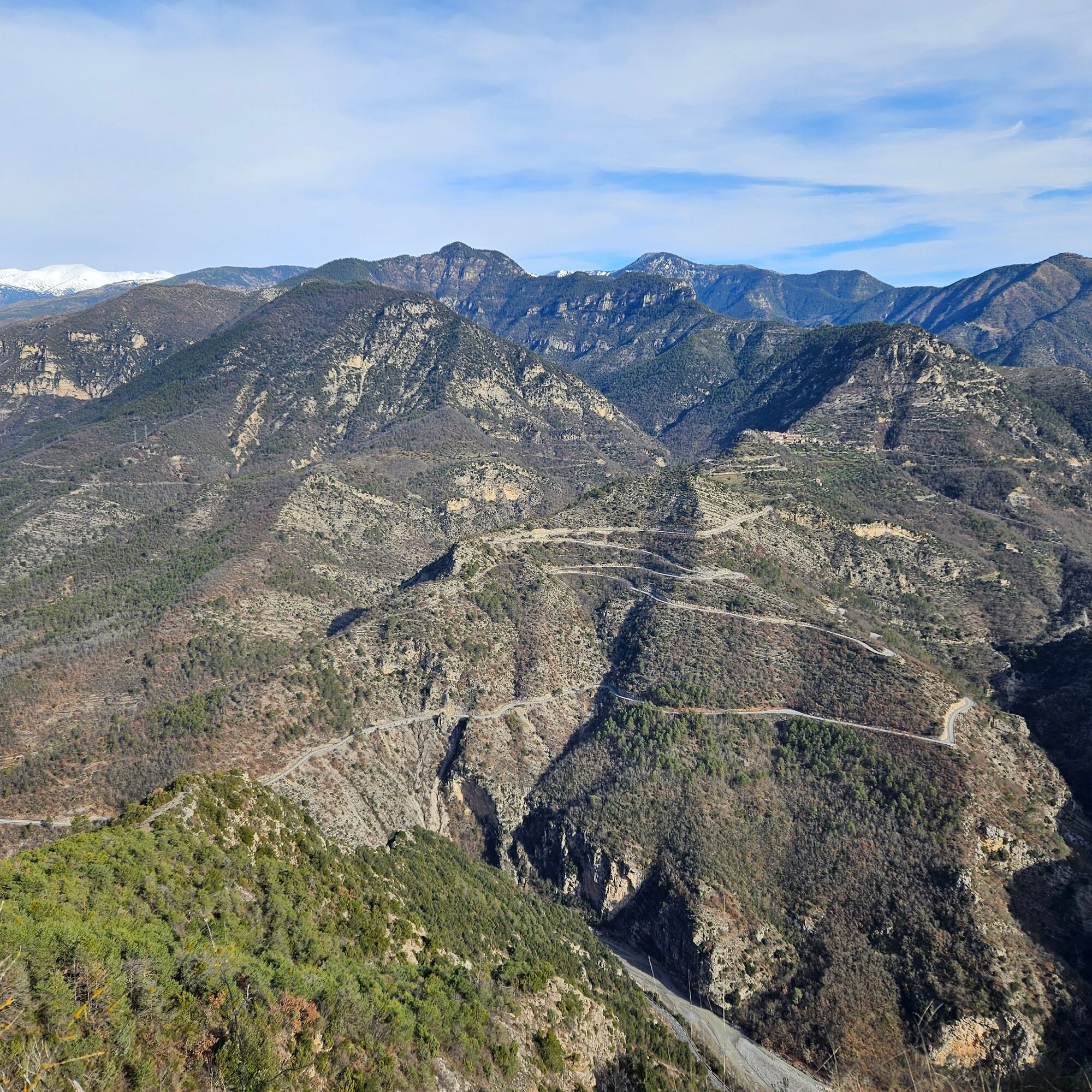
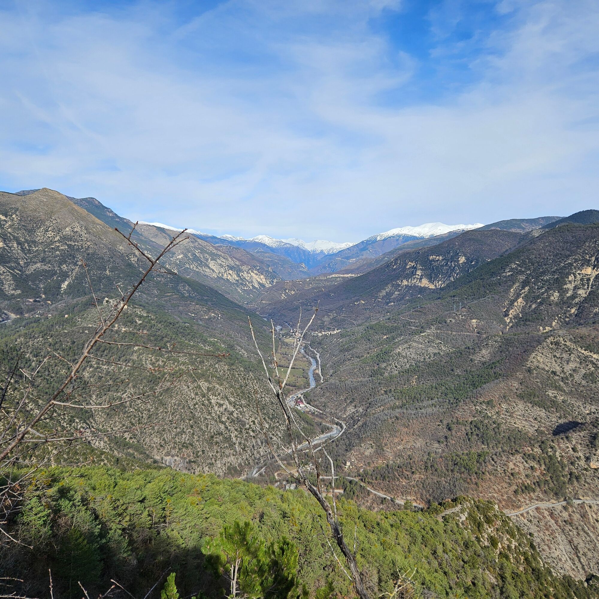
A short hike on the trail of the village of yesteryear, its abandonment, and legends dating back to the Templars. It offers magnificent views over the Tinée and Var valleys, towards Fort Charvet.
Points...
A short hike on the trail of the village of yesteryear, its abandonment, and legends dating back to the Templars. It offers magnificent views over the Tinée and Var valleys, towards Fort Charvet.
Points of observation and interest:
Landscape reading over the middle Var valley, the north face of Mont Vial, the panorama over the Tinée valley, and in the distance the peaks of the Mercantour. The ruins and history of the old village: The final abandonment of the village at the beginning of the 20th century following the earthquake of 1887 Fort Charvet

Tak
- Walking shoes are recommended
- Bring a backpack containing water, a cap, a picnic or some provisions, a waterproof and warm garment
- A flashlight or headlamp in case of passing through a tunnel or to avoid being caught out by nightfall
- First aid kit
Check the local weather before leaving
Do not overestimate your abilities
Inform someone close to you of your walking goal and departure time
Use the paths marked in yellow and respect the direction of the routes
The trails are shared: mountain bikers, riders and hunters may use your route
Behave eco-citizen: carry out your waste, be discreet so as not to scare wild animals, and do not pick flowers or wild plants, a photo is a sufficient souvenir,
Respect private property, cultivated areas, and natural spaces, and close gates after passing.
In summer days are hot, vegetation is very sensitive to fire risk, do not light fires, you put your safety and that of others at risk
The Lignes d’azur network offers a single fare across the entire Métropole Nice Côte d’Azur. Validation is mandatory each time you board the bus regardless of the ticket used. To check all fares, click here: www.lignesdazur.com
Free parking, under the old village, next to the stadium.
All outdoor activities in the Métropole Nice Côte d'Azur are on https://outdoor.nicecotedazur.org/fr
Route accessible to somewhat sporty families with children, some slopes.
Popularne wycieczki w okolicy
-
FFC bike circuit no. 5: on the Tour De France routes (big loop)
średniDroga rowerowa 74,2 km -
5,0
FFC cycling circuit No. 32: The loop of the 2 valleys from St. Sauveur/Tinée
ciężkiDroga rowerowa 117,8 km -
The "Route des Paysages" between the coast and the middle country of Nice
światłoMotorrad 147,7 km -
VTT FFC circuit no. 7 - The Olive Trees Loop
światłoMountainbike 8,09 km -
Utelle - Roquebillière / Pagarine route (stage 4)
średniWędrówka 20,0 km -
Mountain bike circuit FFC no. 21a: Les granges de la Brasque
ciężkiMountainbike 41,2 km -
Auron - Nice gravel route
ciężkiKolarstwo długodystansowe 364,4 km -
Mountain bike FFC circuit no. 5: Le Gabre
średniMountainbike 4,91 km -
MTB FFC circuit no. 50: le Calamel
średniMountainbike 18,0 km -
Mountain bike FFC circuit no. 53: The Madeleine Pass - La Colmiane
ciężkiMountainbike 18,8 km
Wędrówki i tropienie


Nie przegap ofert i inspiracji na następne wakacje
Twój adres e-mail została dodana do listy mailingowej.


