


GTA Variant of Altopiano della Gardetta: Stage 58A Colle di Roburent - Rifugio Gardetta
This variant effectively connects with France across the nearby Colle della Maddalena. From the latter, it is indeed possible to go up from the French side and reach Colle Roburent (2496 m). From here...
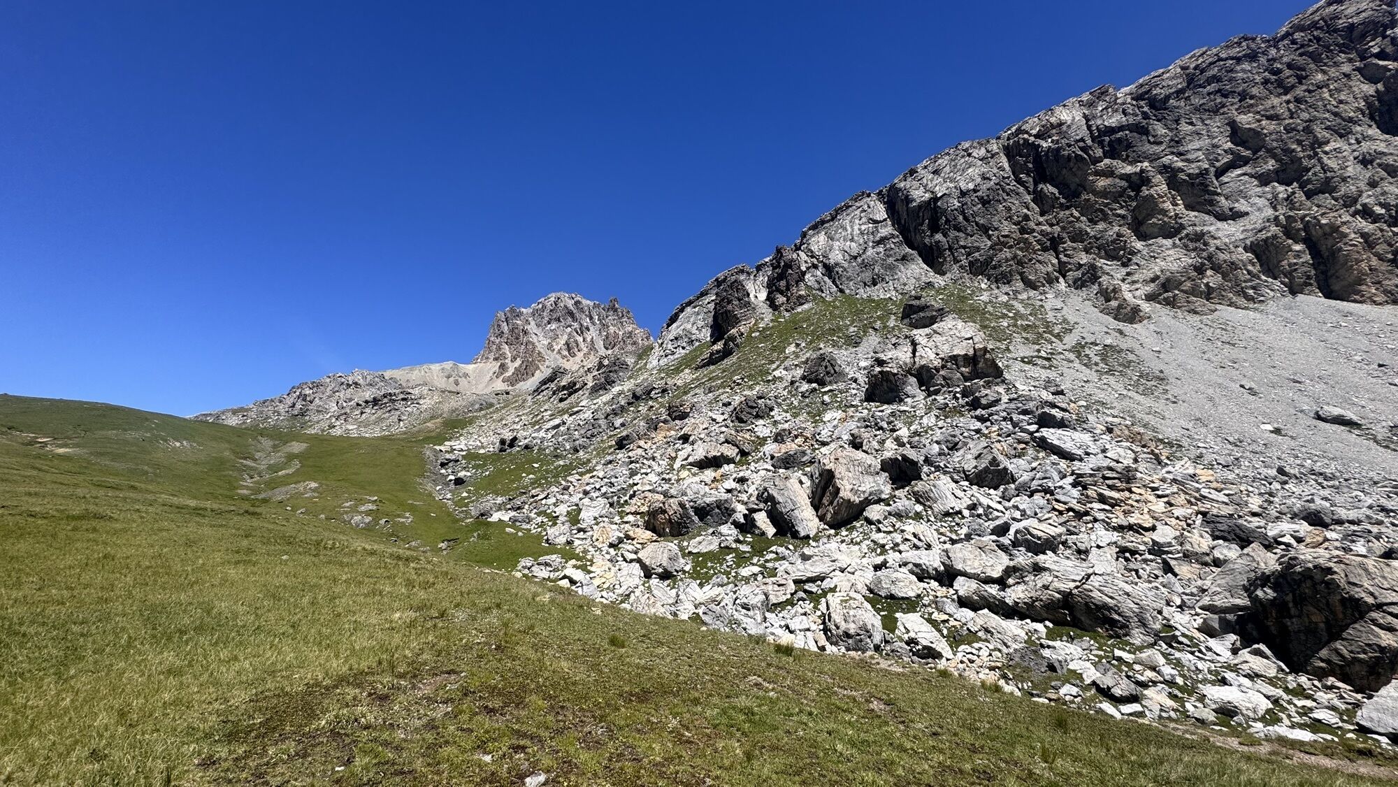
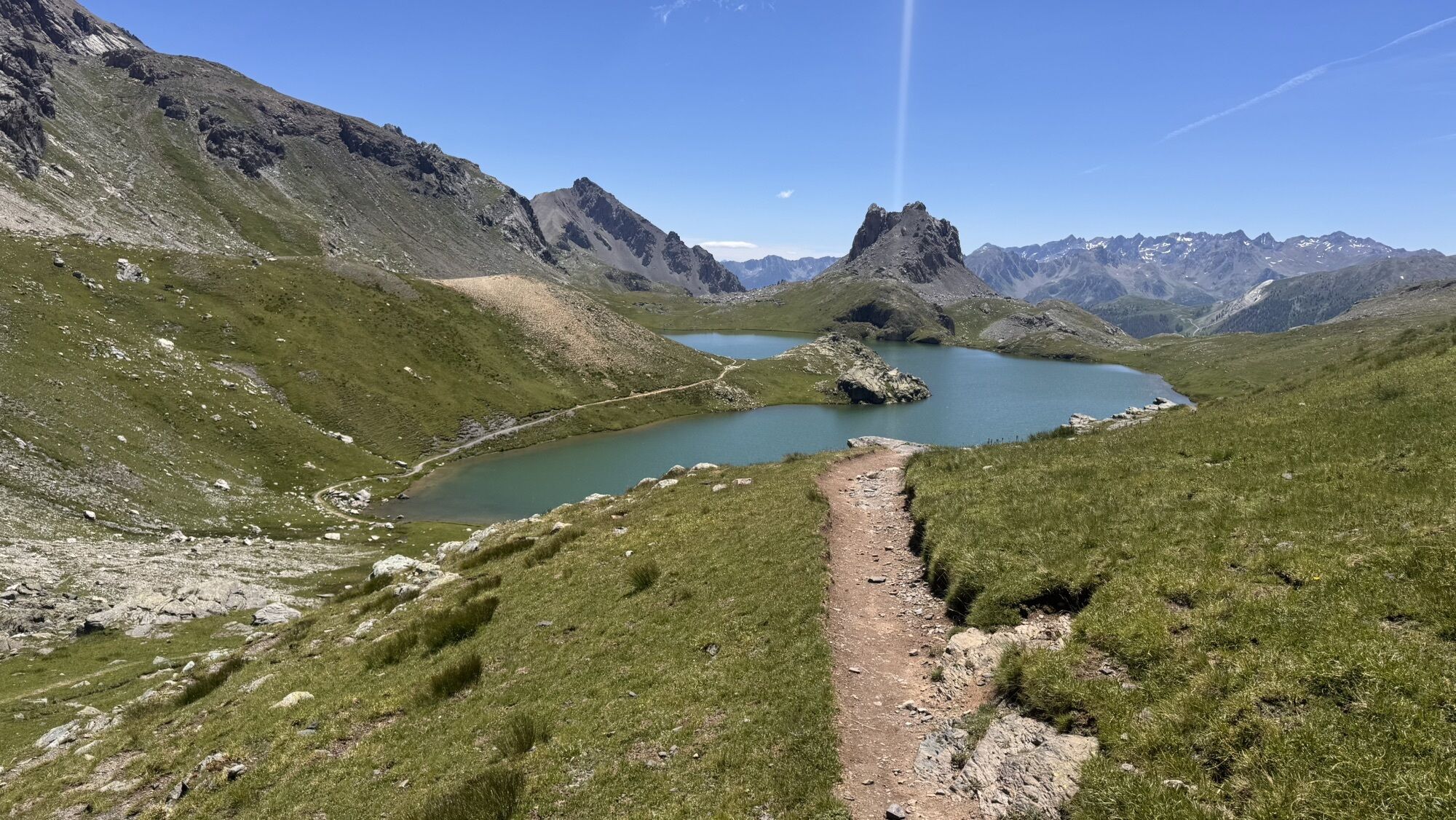
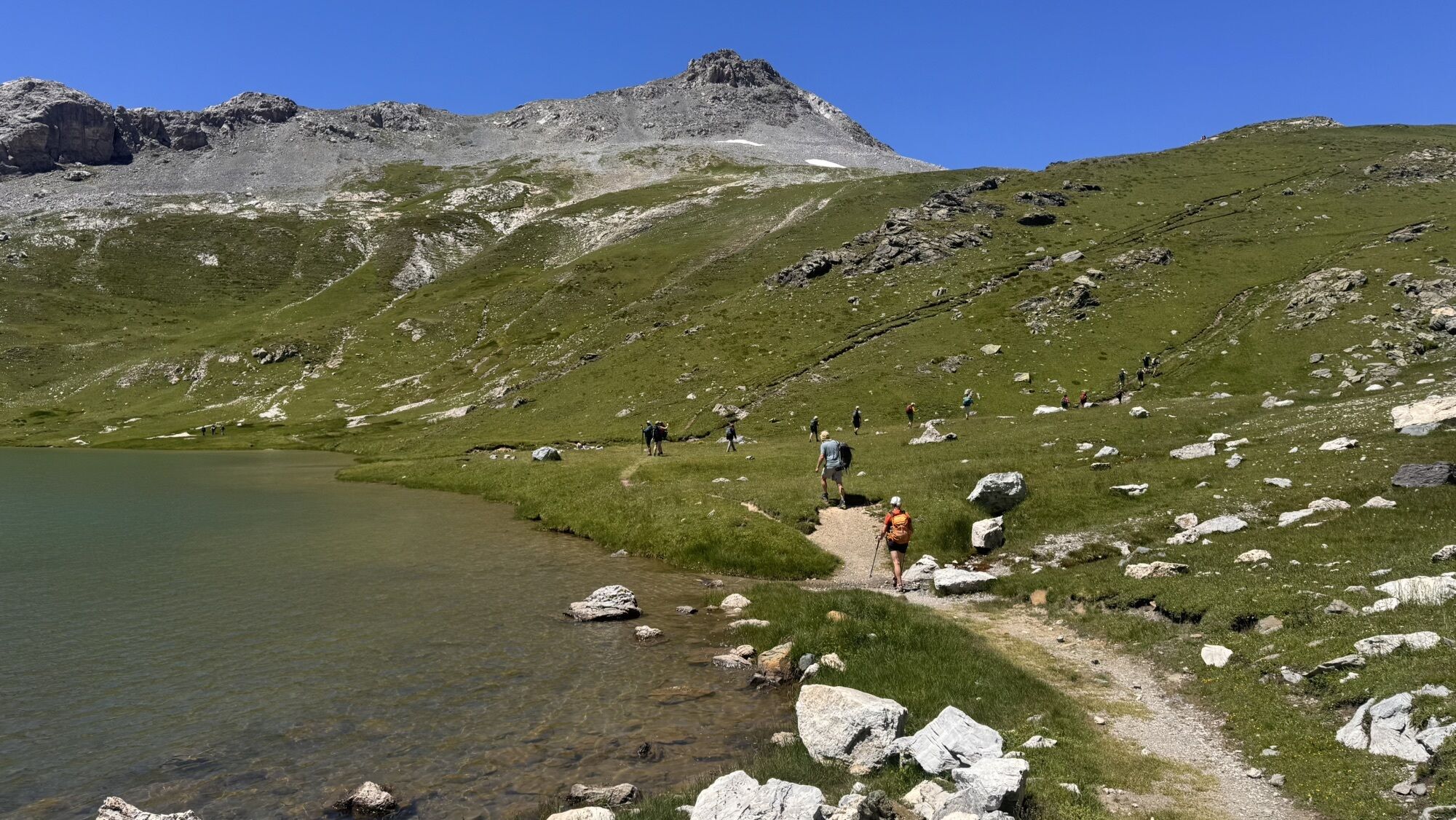
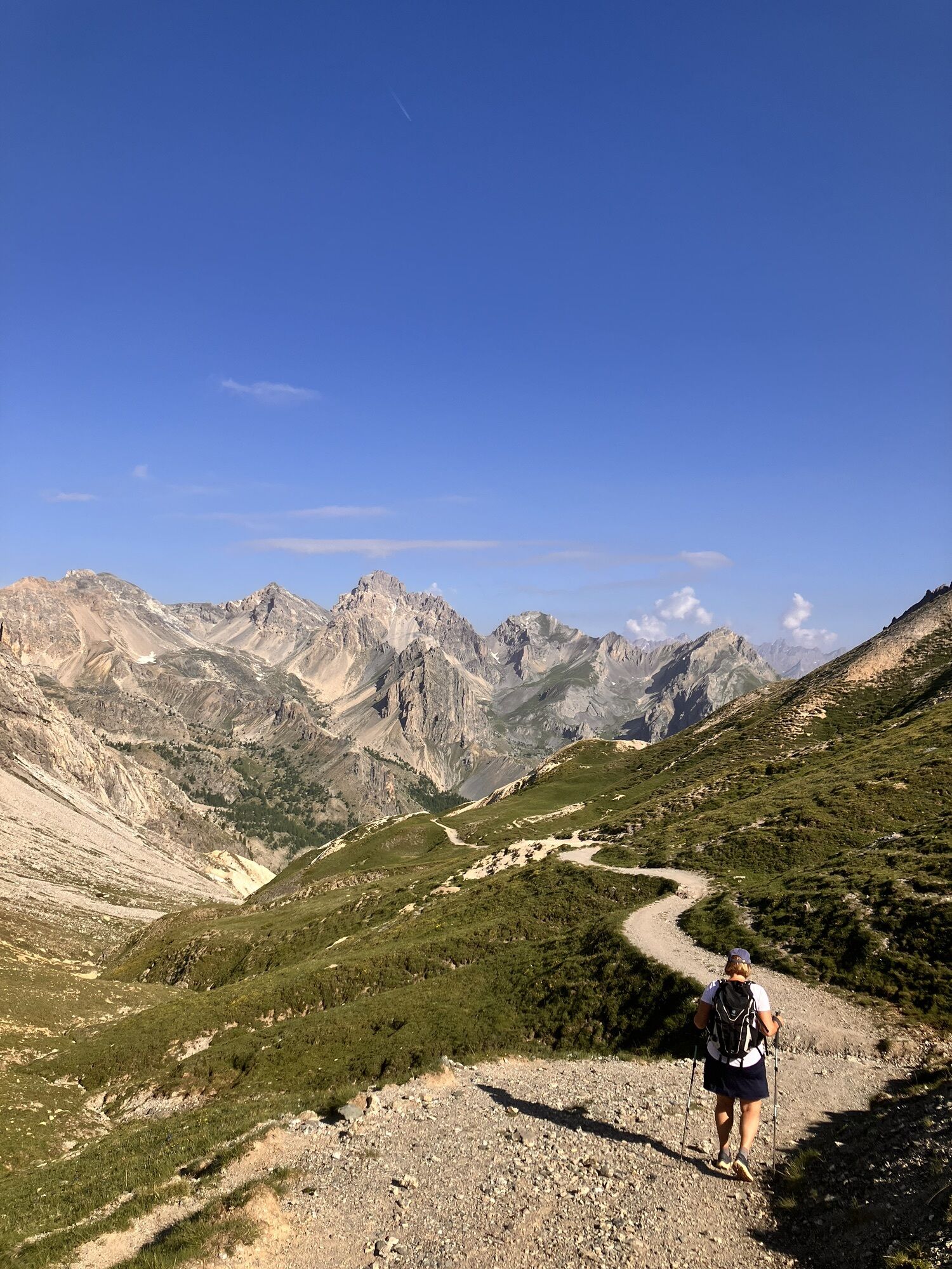
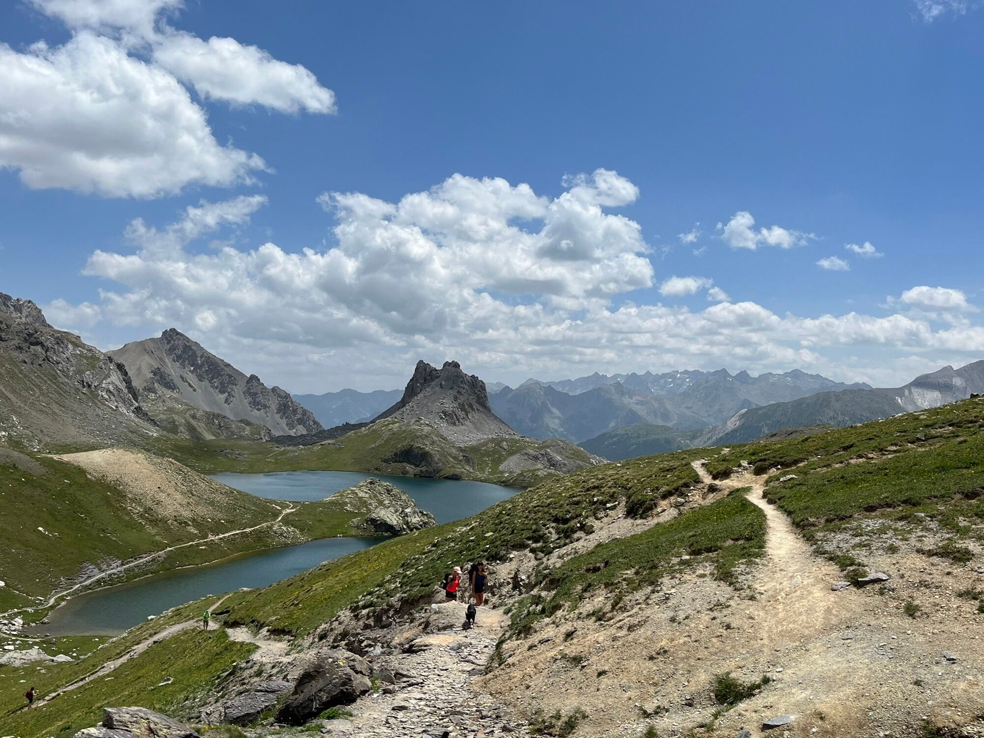
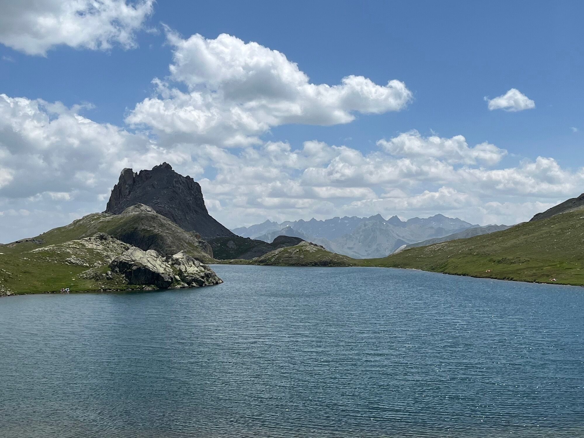
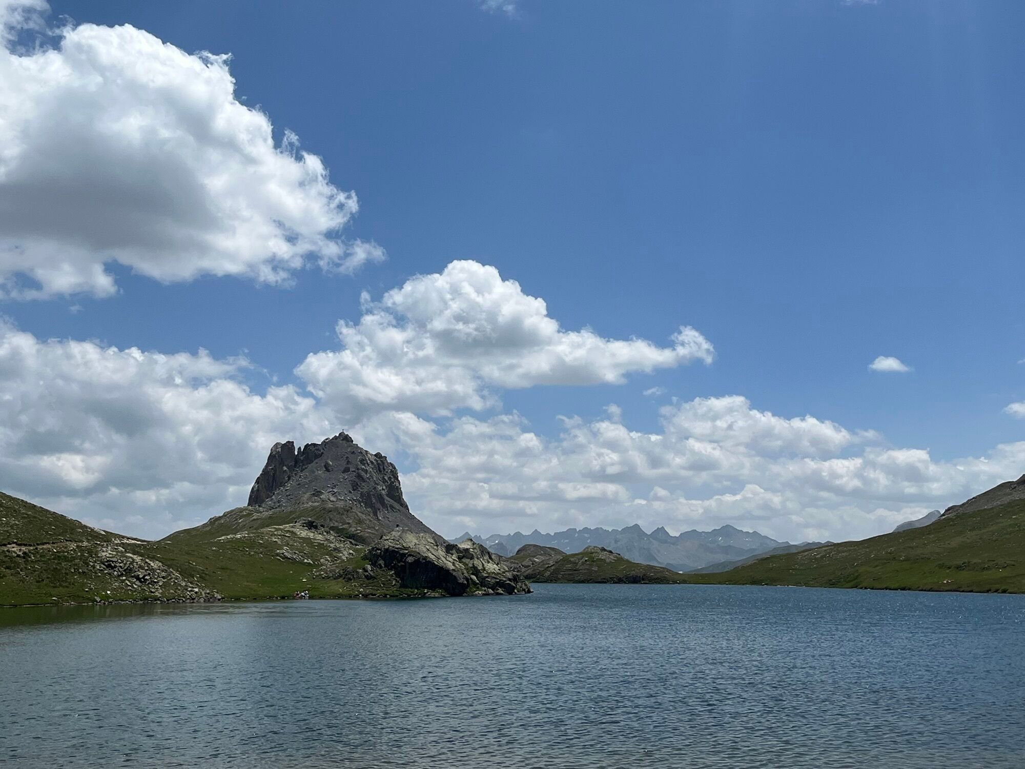
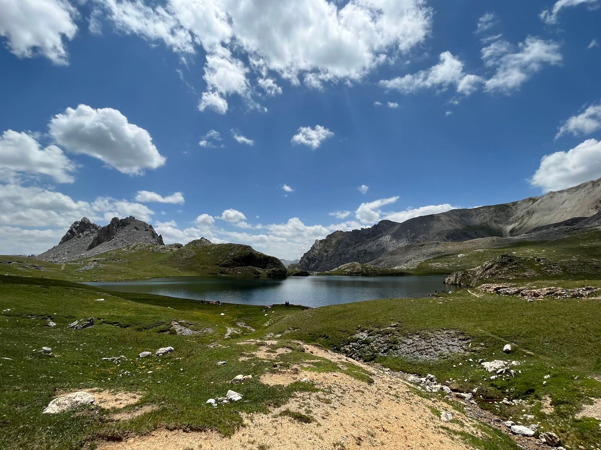
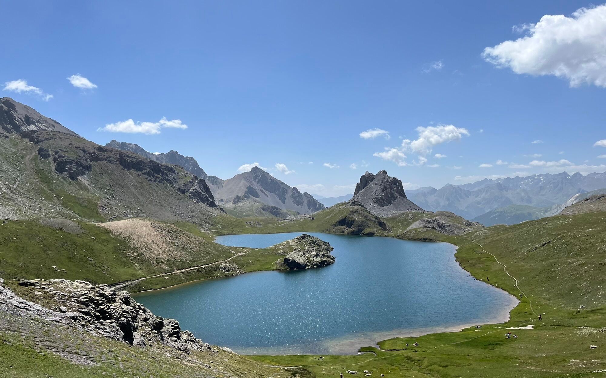
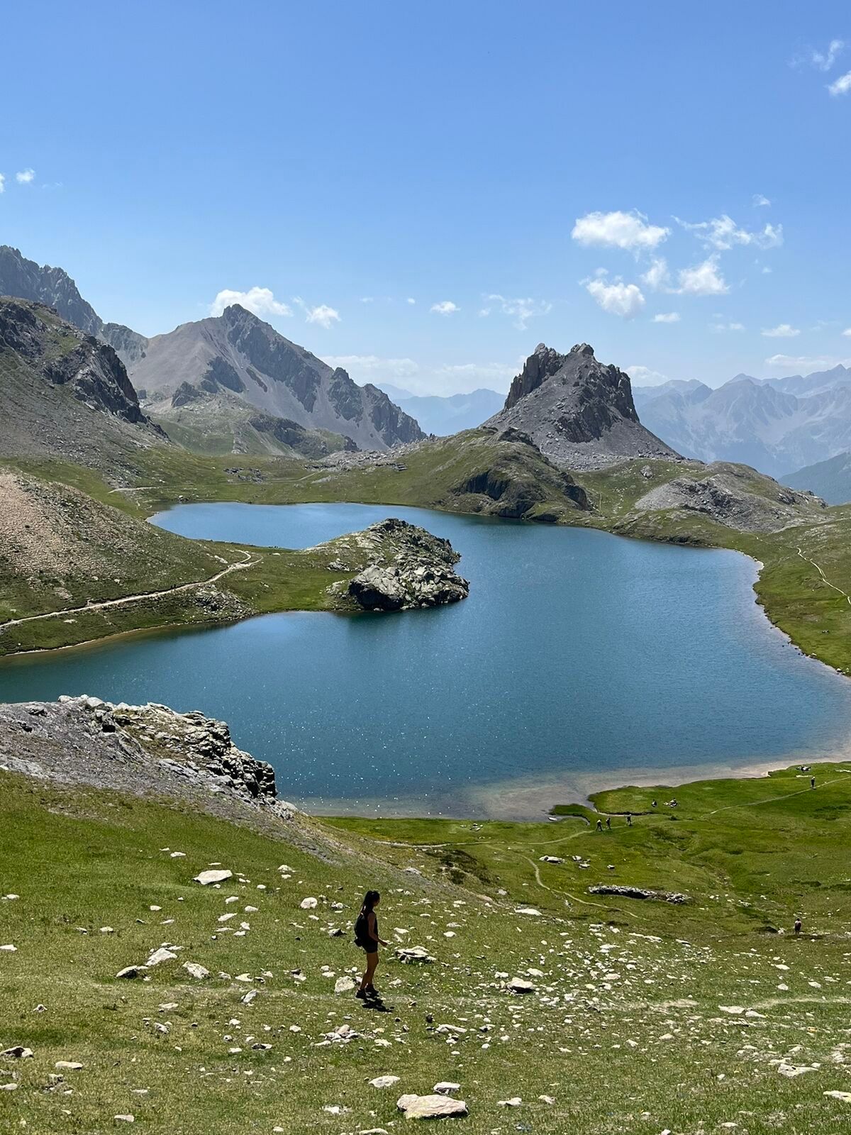
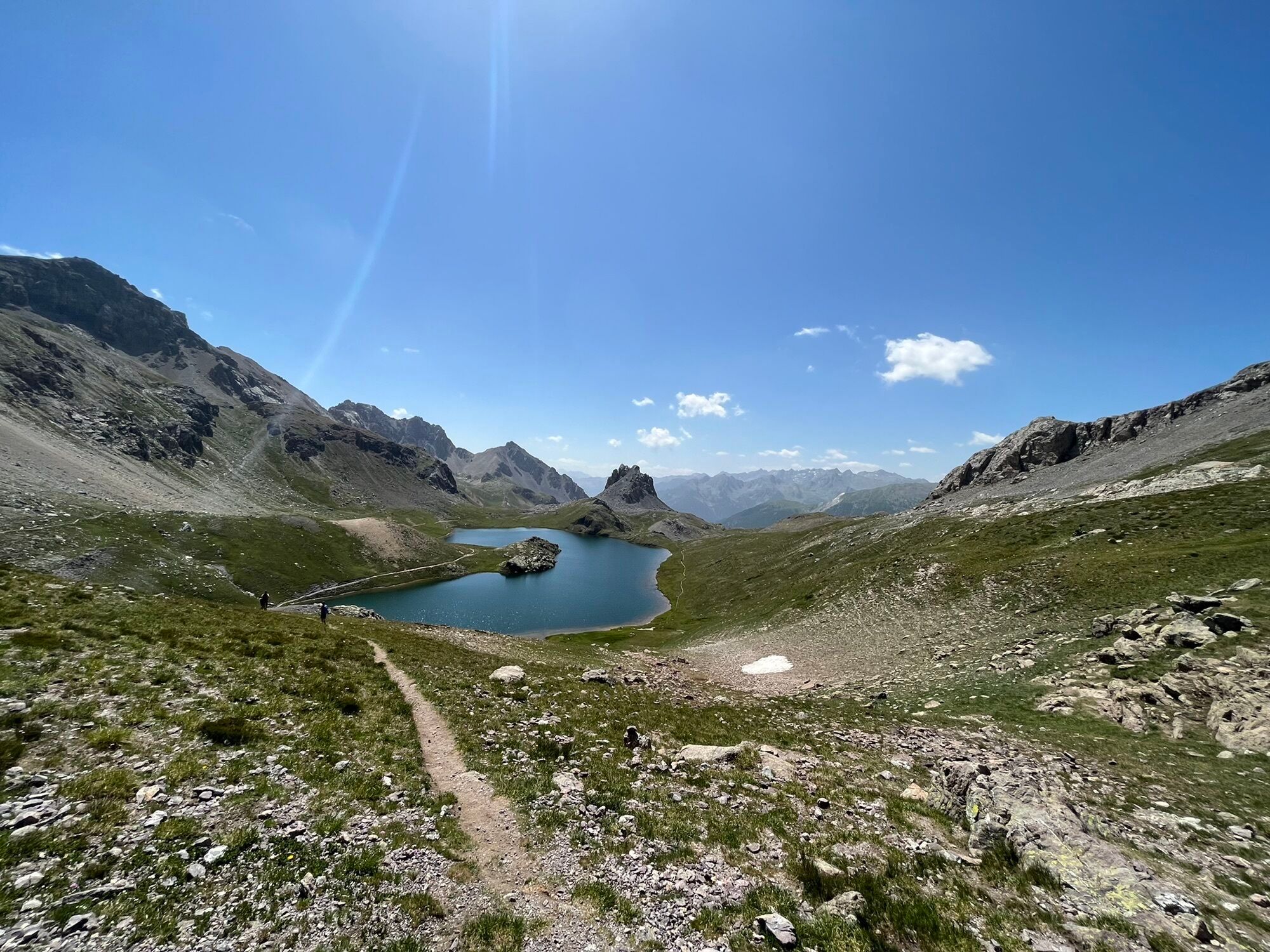
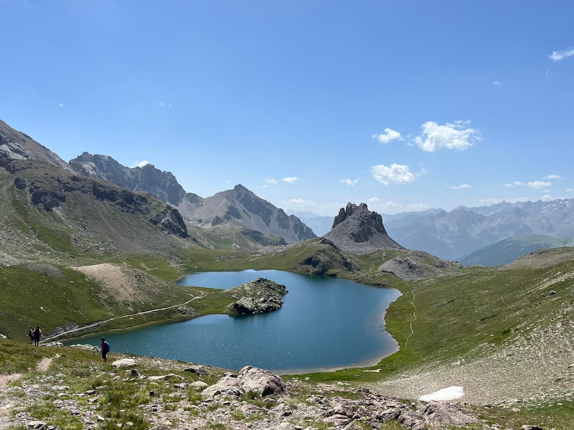
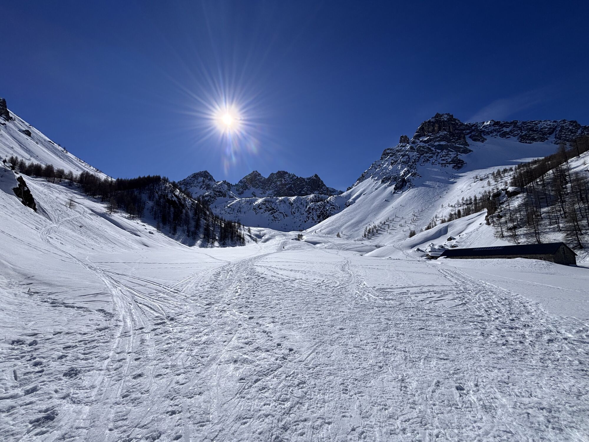
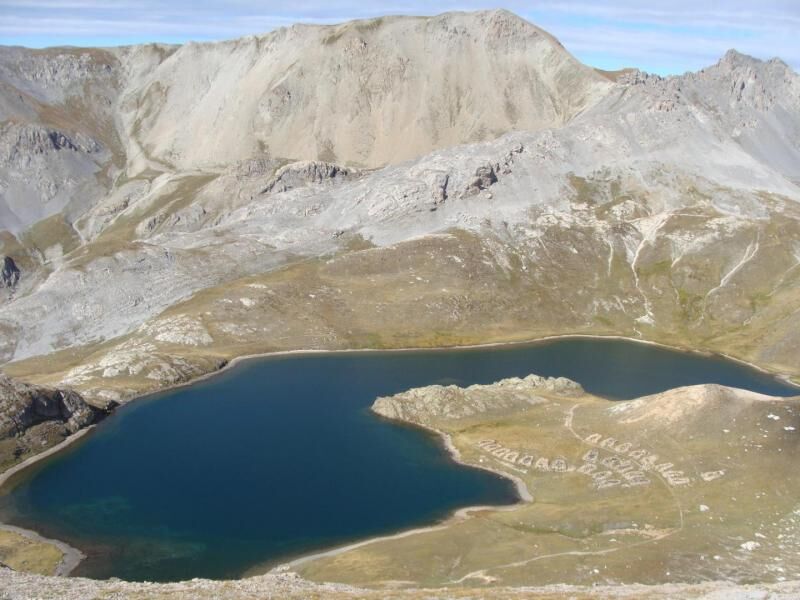
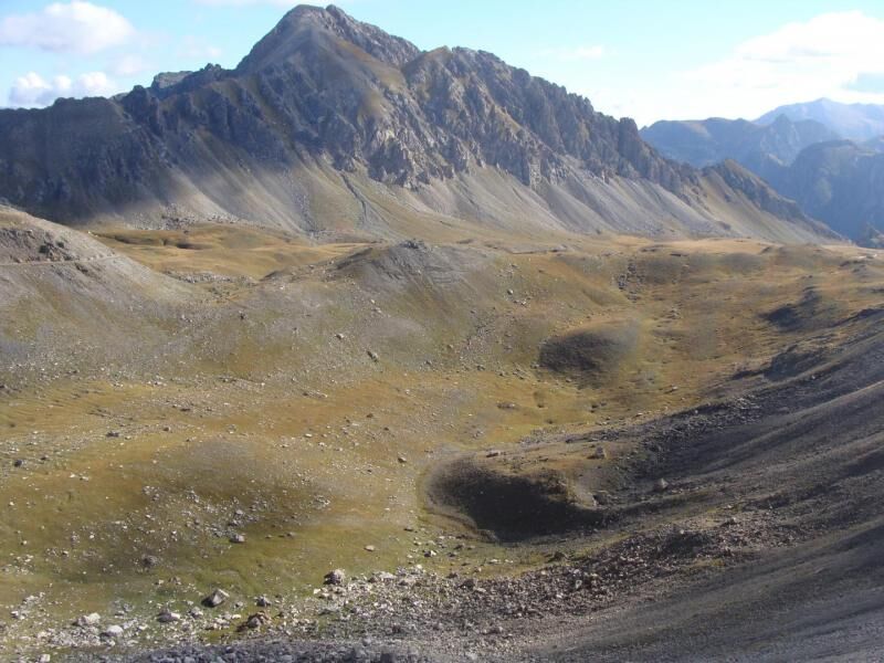
This variant effectively connects with France across the nearby Colle della Maddalena. From the latter, it is indeed possible to go up from the French side and reach Colle Roburent (2496 m). From here you descend on meadowy slopes towards the splendid basin that hosts the Upper Lakes of Roburent. Before reaching the Lakes, you meet a crossroads and take the track on the left that cuts high on detritus towards Colle della Scaletta (2624 m). You then join the S10 route and start to go uphill towards a small hill overlooking the lakes of Roburent. Continue for a short stretch on the hillside that leads to Colle della Scaletta (2637 m), along which several ruins of military fortifications can be seen. From the pass you descend on detritus material until you reach the junction towards Colle Oserot (S28) and Rifugio Gardetta at an altitude of 2542 metres. You cut across the valley mountainside heading southeast and then proceed on pastureland areas. Leave the junction of the S11 path (2086 m) on the right again and enter a last stretch in the wood until you reach the basin below of Prato Ciorliera and the junction with the main path. Following the latter, you turn right for Passo della Gardetta. The first part of the route goes through a sparse larch grove, climbing up a lateral part with respect to the valley floor with its wide pastures of Prato Ciorliera. This is a wide, well-marked mule track that runs at the base of the wide detritus conoids that form at the base of the walls of carbonatic and quartzite rocks. At an altitude of about 2100 metres you cross the end part of an accumulation of large quartzite rocks and continue to climb, keeping two small lakes in sight on the right at 2200 metres. You then reach a plateau with a ford on the stream with the view of a small barracks and other military posts that prelude the pass. Be careful as holes have formed due to the disintegration of the gypsum and the many residues of rusty barbed wire. You pass in front of the small barracks and just a short stretch across the mountainside separates us from Passo della Gardetta (2437 m). From the Pass we follow the former military road that descends gently towards the Gardetta plateau and soon reaches Rifugio Gardetta (2335 m).

Popularne wycieczki w okolicy
-
4,5
Acceglio, bric boscasso
średniWycieczka narciarska 12,1 km -
4,5
Col de Larche - Lac du Lauzanier, France
światłoWędrówka 13,7 km -
5,0
Rocca le Meja - Valle Maira
ciężkiWycieczka wysokogórska 19,8 km -
Gardetta Bike Emotions
średniMountainbike 13,5 km -
5,0
Occitan routes: Stage 6 Elva - San Michele di Prazzo
średniWędrówka 11,5 km -
5,0
Occitan Routes: Stage 8 Borgata Ussolo - Borgata Chiappera
średniWędrówka 14,5 km -
5,0
Chiappera- Spaziergang
światłoWędrówka 8,39 km -
5,0
Goldtoni - Alpenbogen A077 Refugium Campo-Bousieyas
średnidługodystansowy szlak pieszy 34,1 km -
5,0
Goldtoni - Alpenbogen A109 Sambuco-Ruata Valle (Stroppo)
średnidługodystansowy szlak pieszy 36,8 km -
5,0
Goldtoni - Alpenbogen A108 Strepeis-Sambuco
średnidługodystansowy szlak pieszy 16,1 km
Wędrówki i tropienie


Nie przegap ofert i inspiracji na następne wakacje
Twój adres e-mail została dodana do listy mailingowej.